2018 South Korea - Busan





























Journal Notes
General
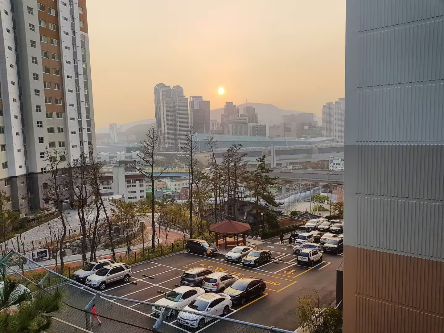
Busan is the second city of South Korea and the largest port in the country, and it does not look like a second city in the ordinary sense. It has three and a half million people packed into a strip of coast between the mountains and the sea, and the result is a city built in layers: the harbour and the old commercial streets at the water, the markets and the alleys behind them, the apartment towers on the hills, and the ridges of the mountains standing over the whole of it.
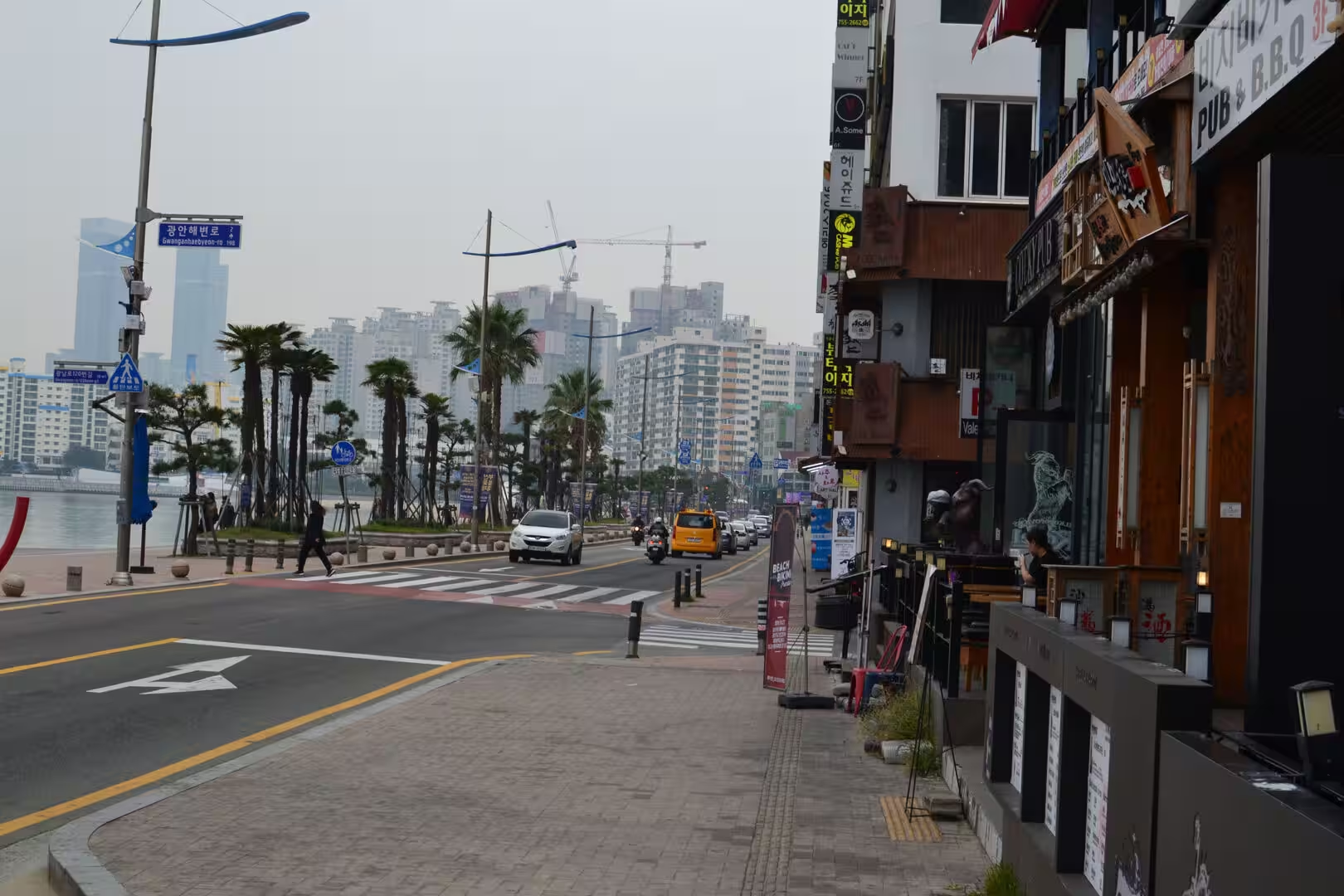
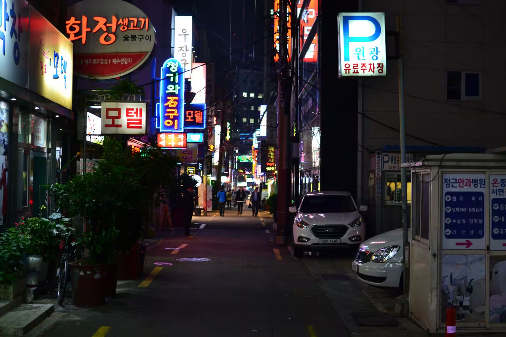
The days here were spent moving between those layers. The mornings began in the markets and the streets of the old port, the middles of the days belonged to the beaches and the harbour, and the evenings were given to the food and the lights of the commercial districts, which burn until late and are the reason the city is called the most energetic in the country. The walking was shared with the subway, which is cheap, clean and the easiest way to understand the shape of the place.
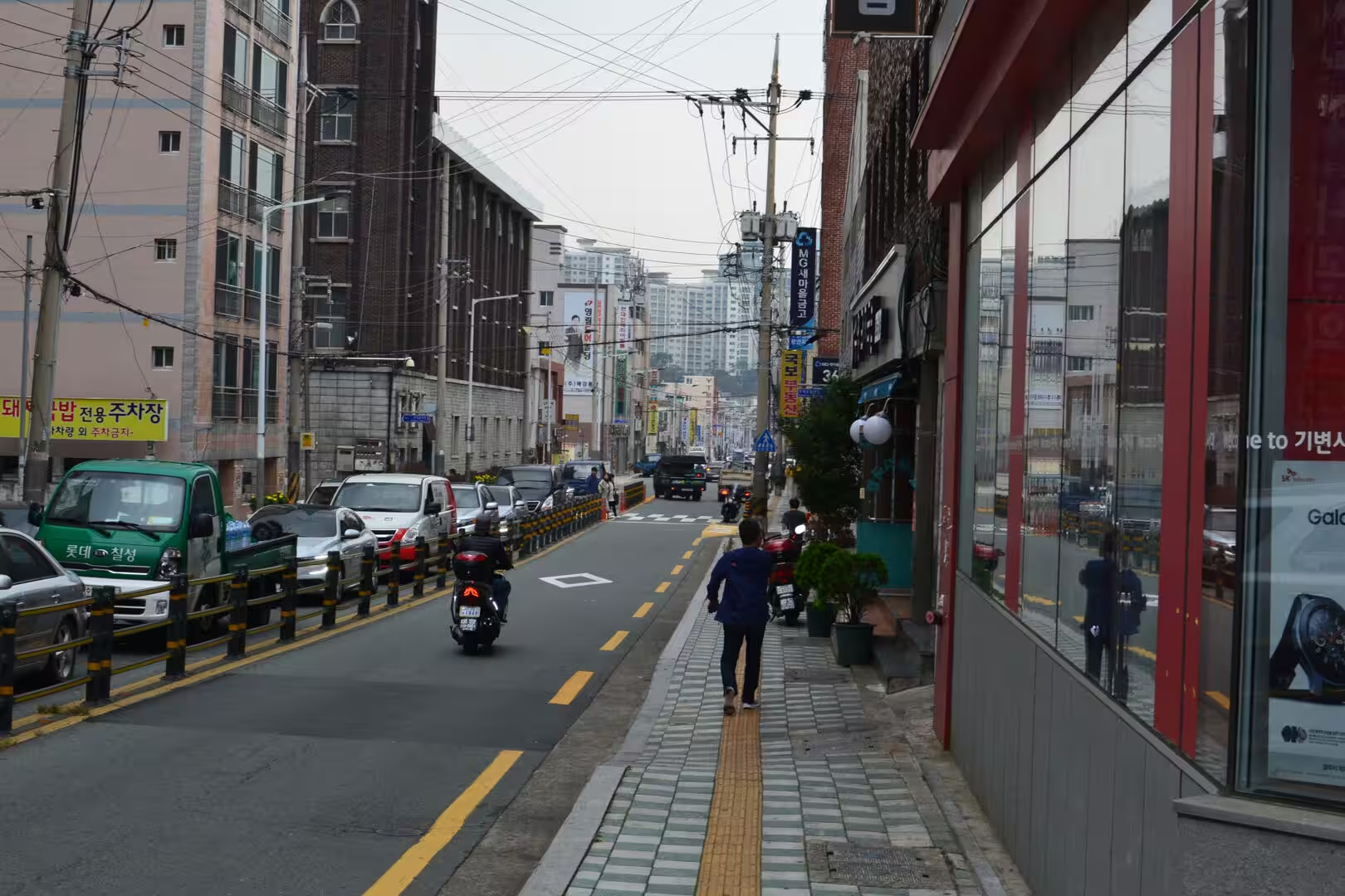
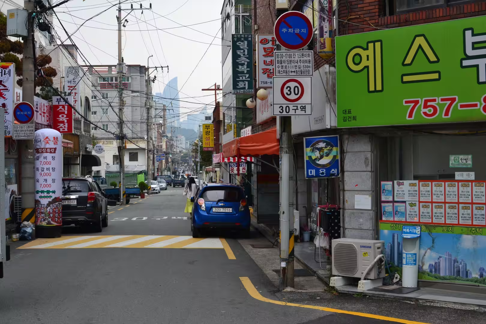
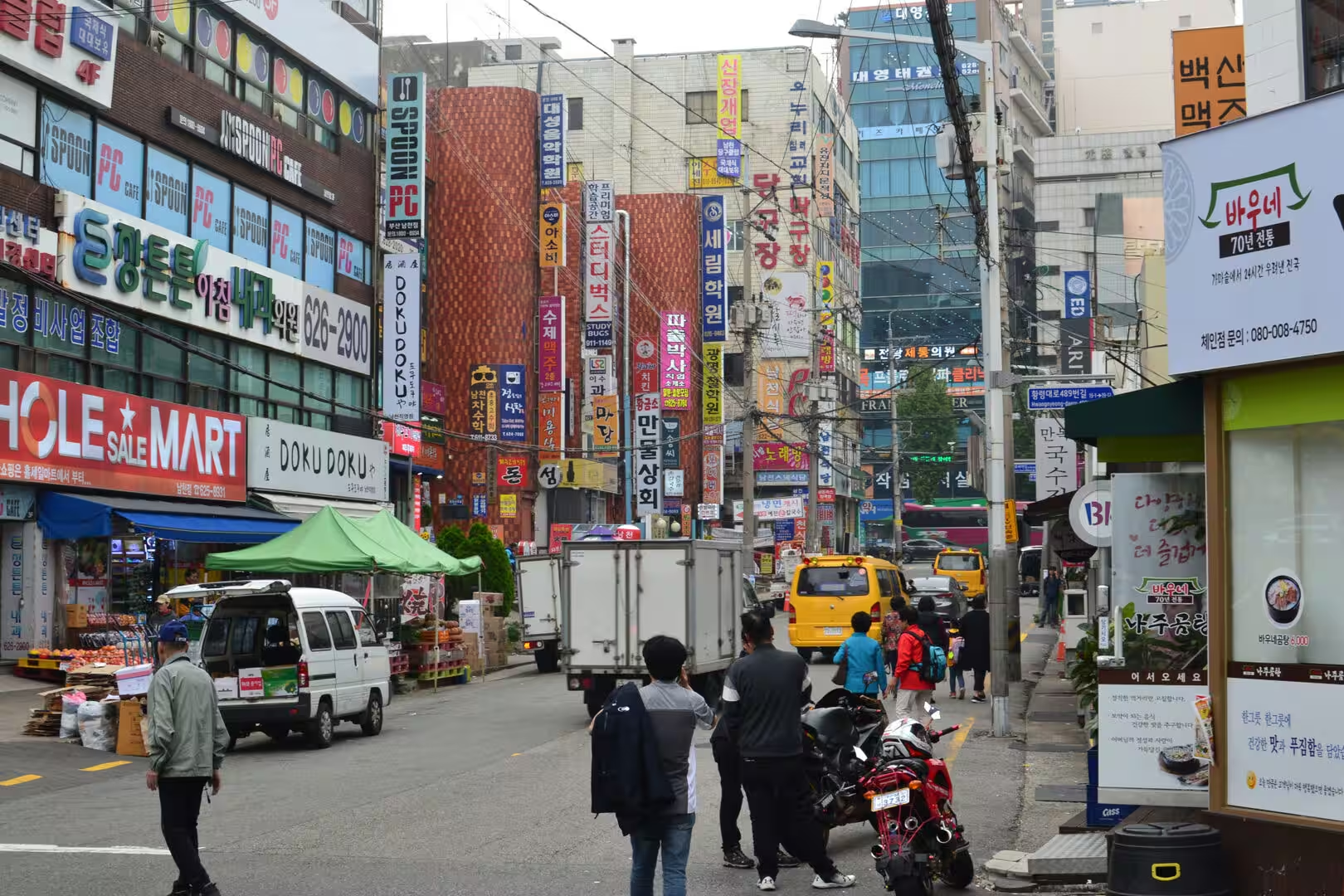
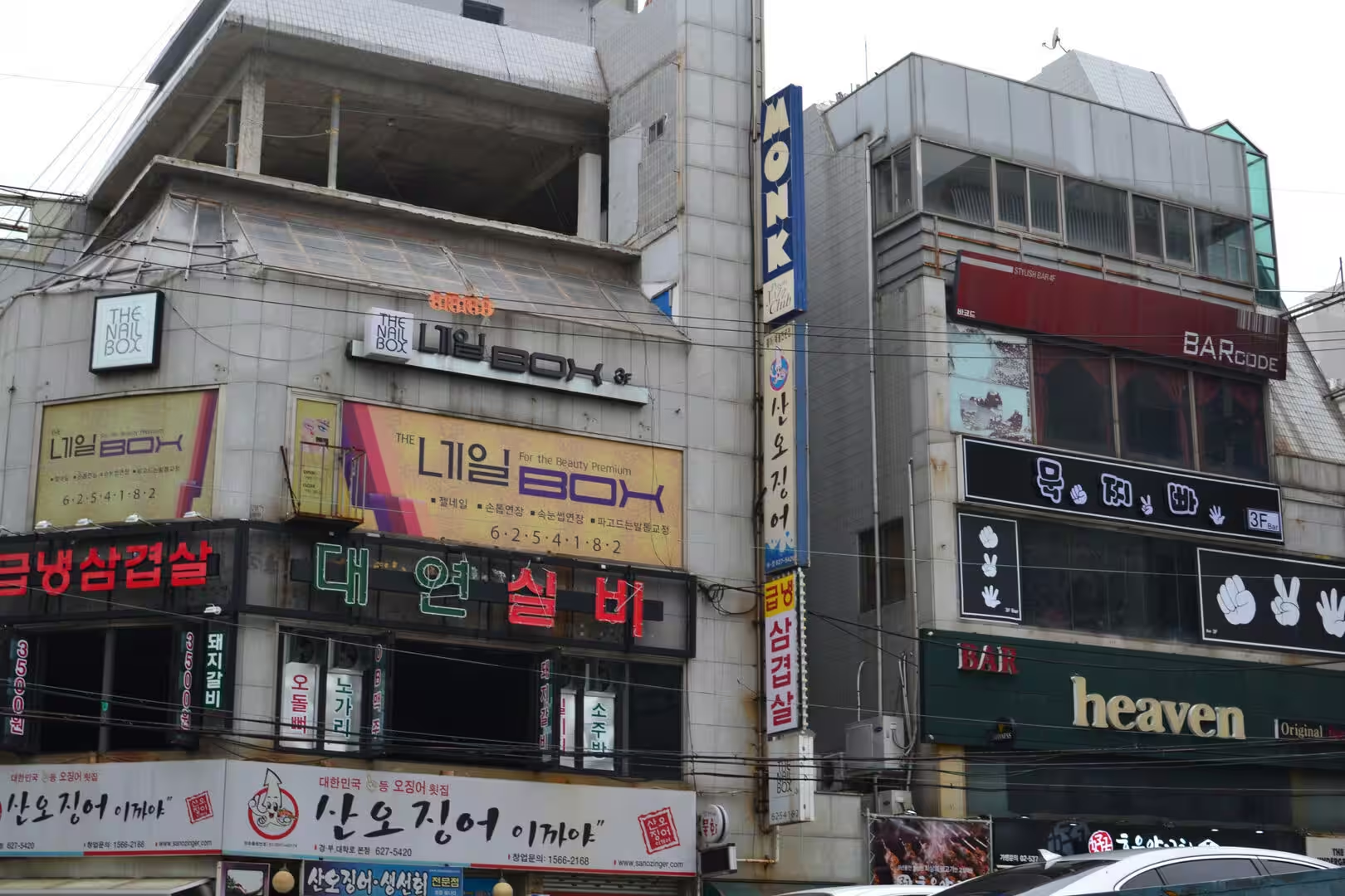
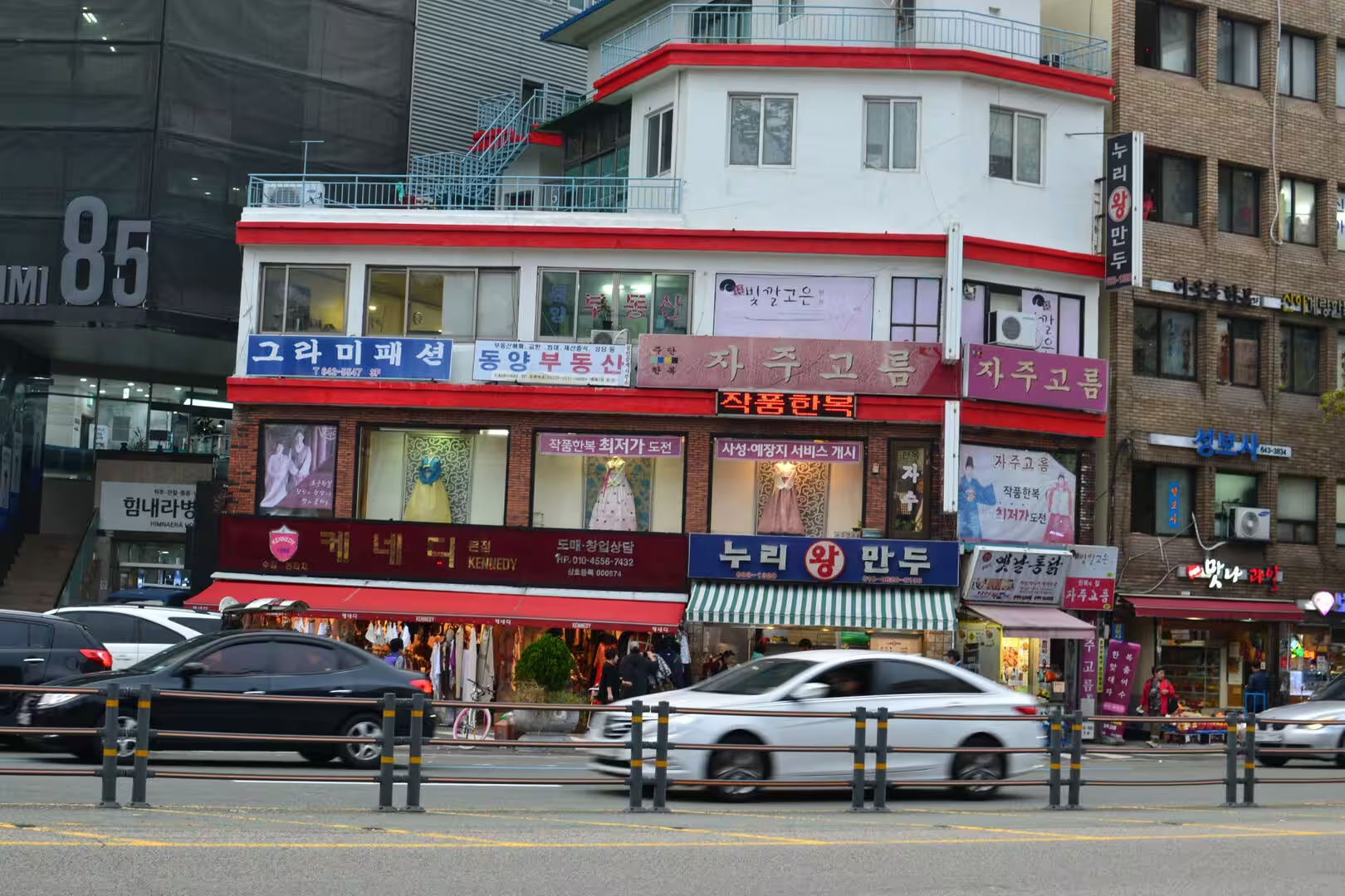
The old centre is the part of Busan that most visitors walk through first. It is the district around the port where the fish market, the shopping streets and the tower park are within a few hundred metres of each other, and it is dense in the way of port districts: narrow alleys, signboards stacked up the sides of the buildings, food stalls under canvas, and the smell of the sea and of charcoal.
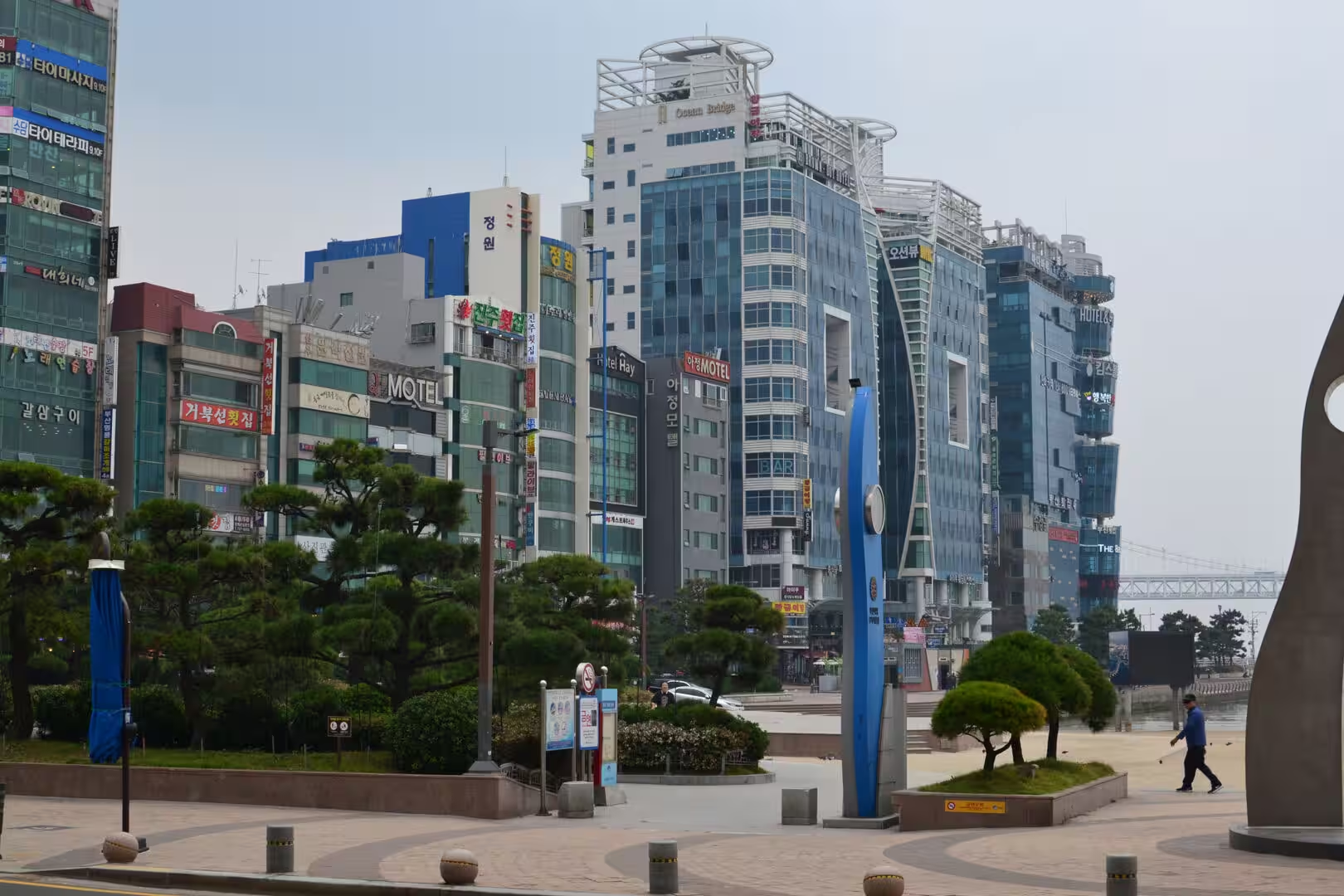
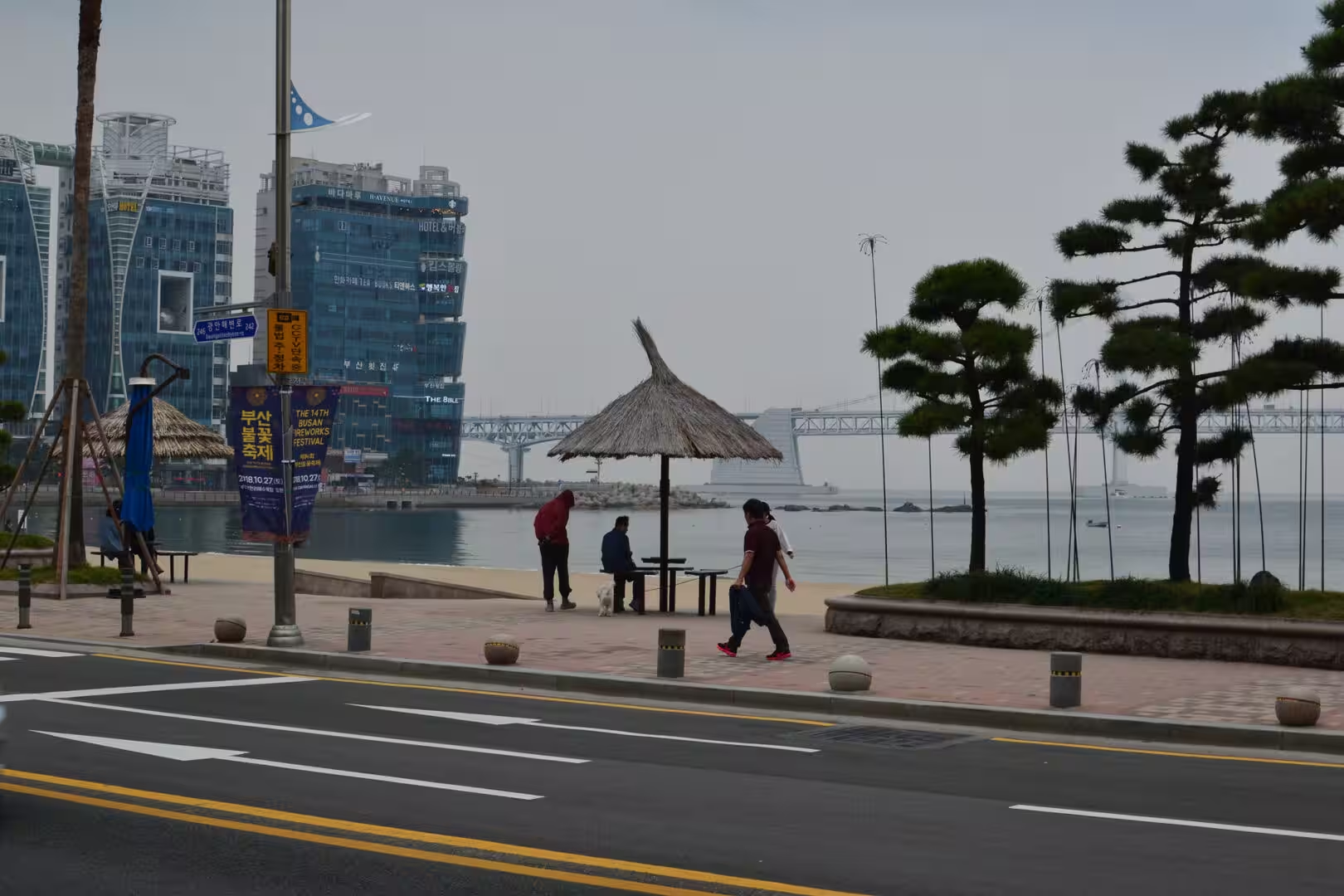
The coast is the other half of the city. The great beaches lie east and west of the centre, each with its promenade, its hotels and its view of the water, and the bridge that crosses the bay between them is the landmark of the modern city. The beach in front of the bridge is a cove of sand with a skyline behind it, and the beach further east is the older resort, with its boardwalk and the long curve of sand that made the city famous in the first place.
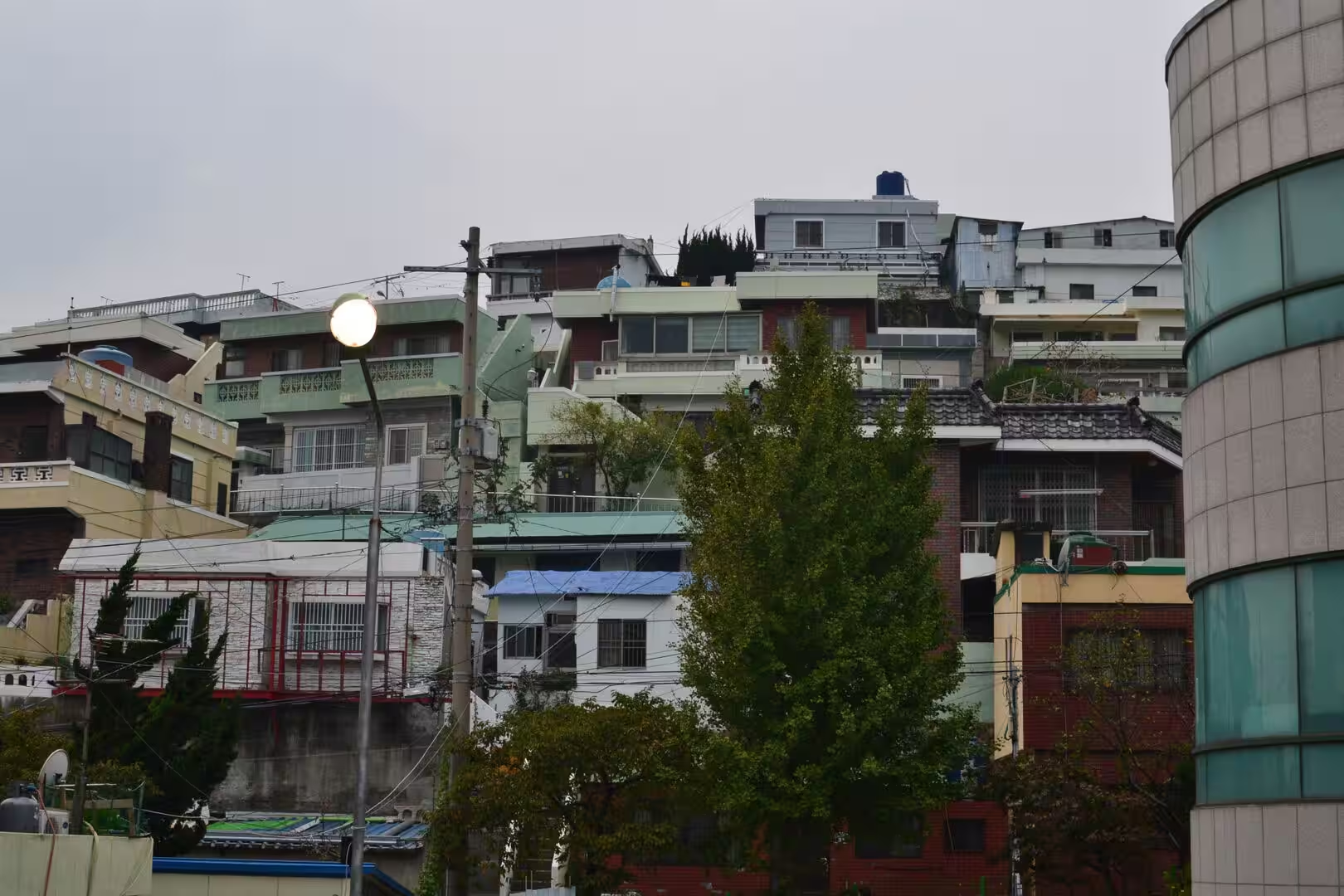
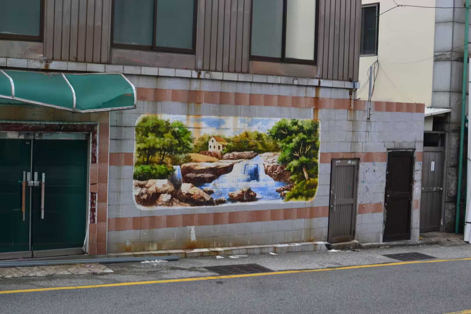
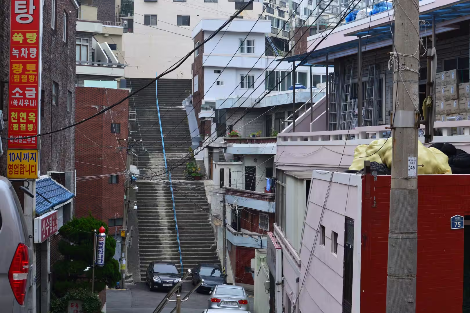
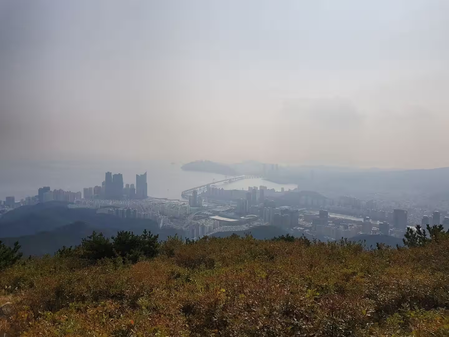
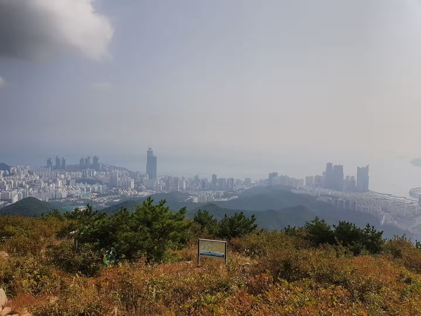
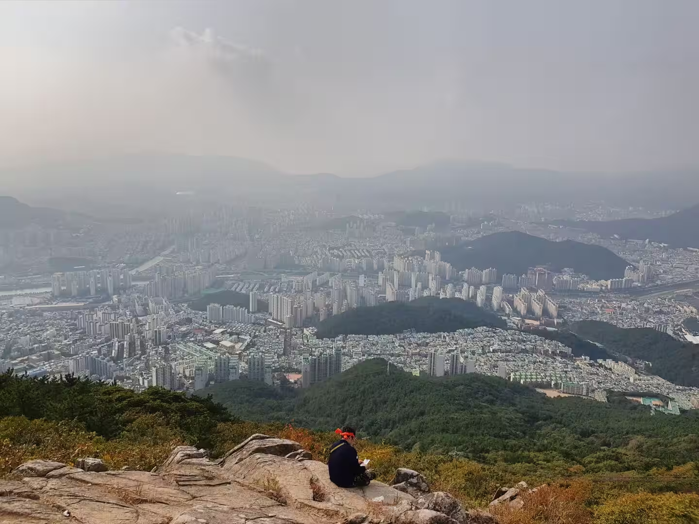
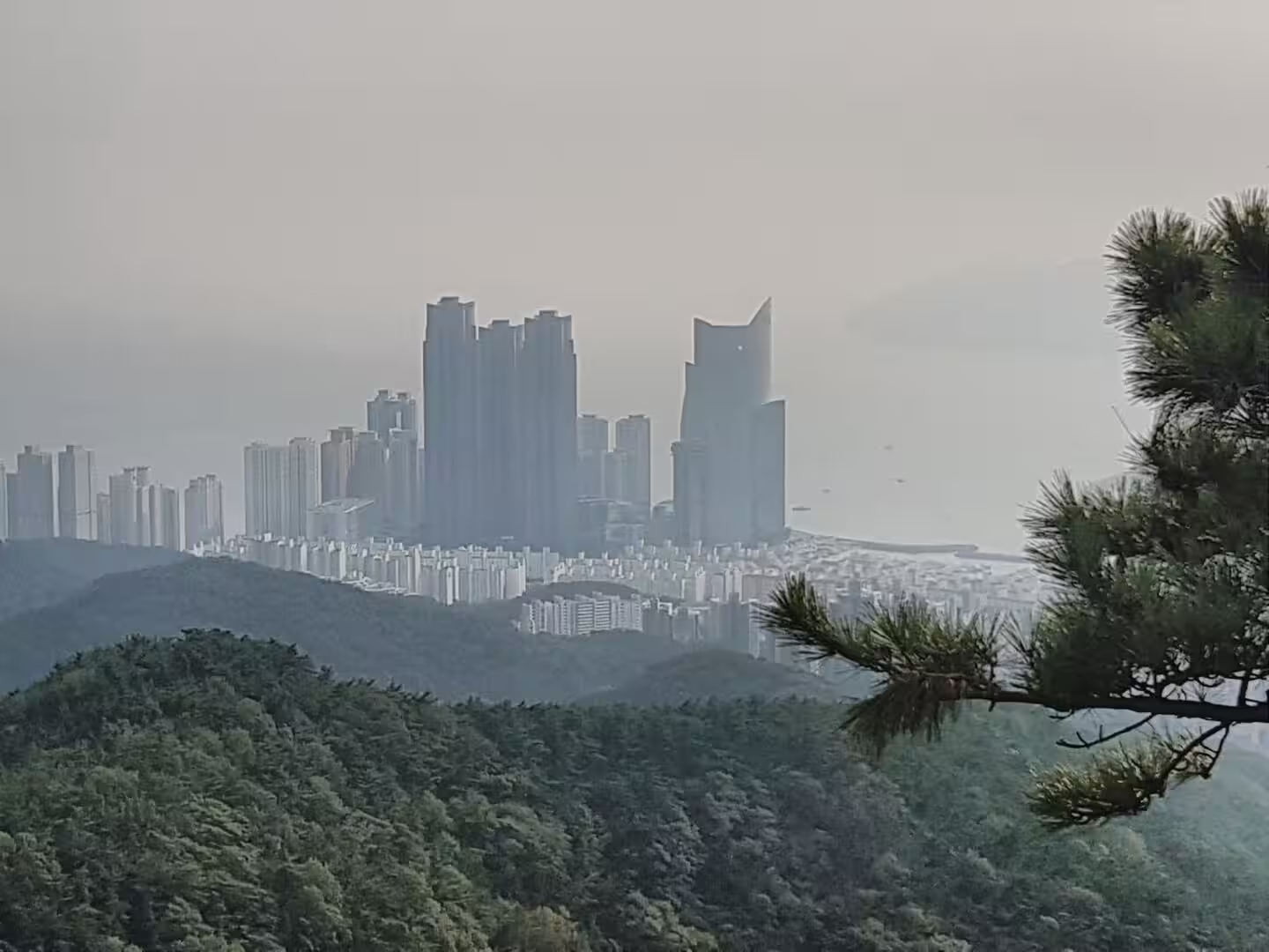
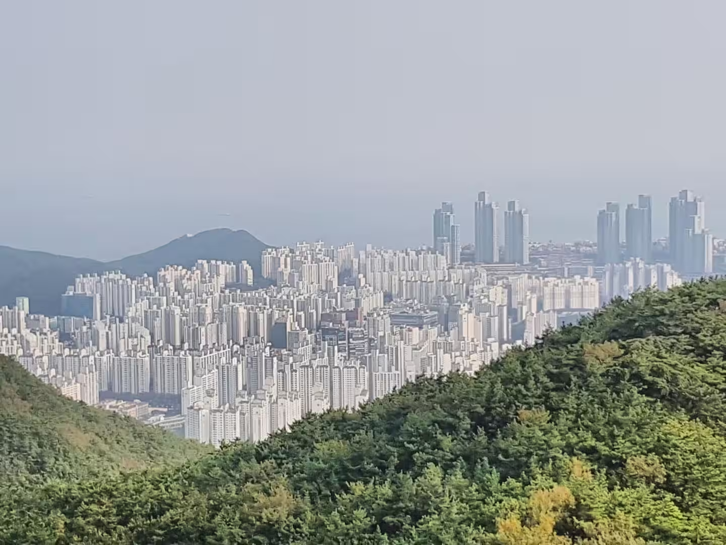
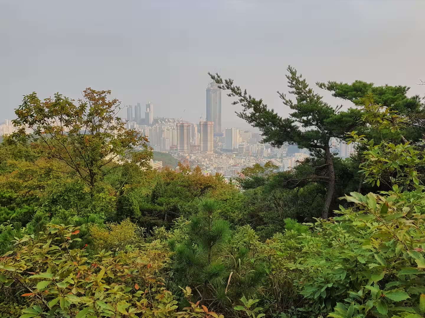
The hills above the streets are the third layer and the one that gives Busan its character. The city climbs them in steep terraces of houses, and the old hillside neighbourhoods, with their painted walls, their stairways and their narrow lanes, are the places that the visitors now come to see. From any of the ridges the whole city is visible at once: the water, the port, the bridges, the towers and the mountains behind it all.
History
Busan has been a port for as long as there have been ships in the strait. The coast was part of the Gaya confederacy and then of the Korean kingdoms that followed, and the places around the bay appear in the annals of the eighth century under names that they still carry, the county of Gijang among them. The harbour grew with the trade of the East Sea, and in the period of Japanese colonial rule at the beginning of the twentieth century it became the main gateway to the peninsula for the empire that had taken it.
The modern history of the city begins with the Korean War. When the North Korean army pushed south in the summer of 1950, the United Nations forces were driven back to a perimeter around Busan that they held from the fourth of August to the eighteenth of September, and the city became the provisional capital of the country. The battle that saved it was fought along the line of the Nakdong River with about a hundred and forty thousand United Nations troops, and the war made Busan what it is: a city that absorbed hundreds of thousands of refugees and their descendants.
The refugees built on the hills because there was nowhere else to build. The shanty towns that appeared above the harbour in the nineteen fifties became permanent neighbourhoods, and one of them, on the slope at Gamcheon, has since been repainted and rebuilt as an art village that is now one of the sights of the city. The same hills carry the memory in other forms: the cemetery at Tanggok holds the graves of soldiers from many nations, and the markets and the food of the city still carry the marks of the wartime years.
The war also left the graveyard that the city is known for. The United Nations Memorial Cemetery in Korea, laid out over fourteen hectares in the Nam District, contains about two thousand three hundred graves in twenty two plots that are arranged by nationality, and it is the only cemetery of its kind in the world. The soldiers buried there came from Turkey, from Britain, from Canada, from Australia, from the United States and from a dozen countries, and it is kept as a memorial rather than as a burial ground in the ordinary sense.
The prosperity came afterwards. Busan was the industrial engine of the country in the decades of the miracle, with factories in the districts inland of the port that grew into some of the largest companies of the republic, and the commercial centre at Seomyeon began as the place where those factories and their workers shopped. The old industries have moved away, the city has turned towards the sea and the screen, and the film festival that began in 1996 is now one of the most important in Asia, with the cinema centre that was built for it at Centum City an architectural landmark of the new Busan.
Geology
The rock under the city belongs to one of the great geological provinces of East Asia. The south east of the peninsula is a basin of sedimentary and volcanic rocks of the Cretaceous period, formed in a lowland that was drained by rivers and periodically buried by the eruptions of the volcanic arc behind it, and the layers of sandstone, mudstone and lava that resulted are the bedrock of the region around Busan. The mountains of the city are the harder parts of that pile, lifted and tilted by the movements that raised the peninsula.
The coast is the product of the sea level and the land together. The shoreline of Busan is drowned, which is why the city has so many bays and islands: at the end of the last ice age the water rose and filled the valleys, and the ridges between them became headlands and islands. The group of rocks off the southern coast known as Oryukdo is the clearest example, a chain of small islands that appears to number five or six depending on the tide, and the bay in front of the city is full of similar features under the water.
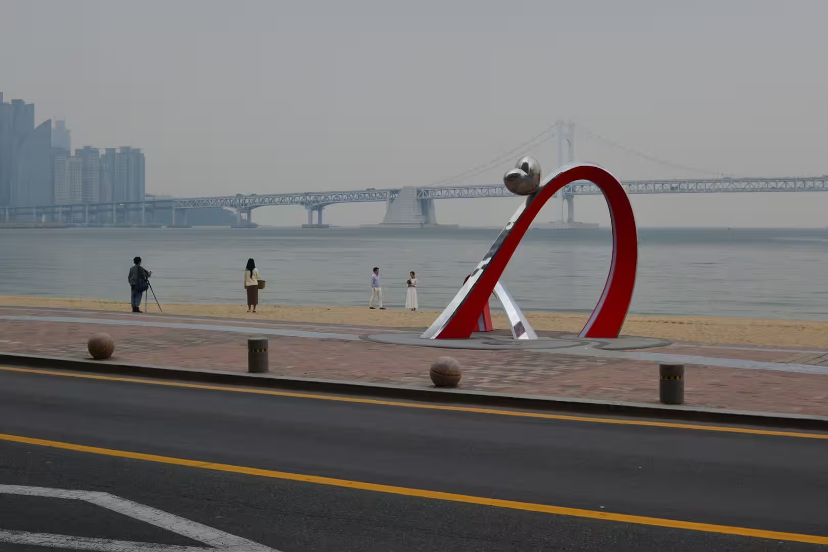
The beaches are the work of the same sea. The two great strands are broad curves of sand held between headlands, fed by the sediment of the small rivers, and their size varies with the seasons and the storms; the beach inside the bay, which is about a kilometre and a half long and covered by the span of the bridge, is the busiest of them. The tides of this coast are strong, the water is warm in the autumn, and the difference between the beach at dawn and the same beach at midnight is the difference between a fishing village and a fairground.
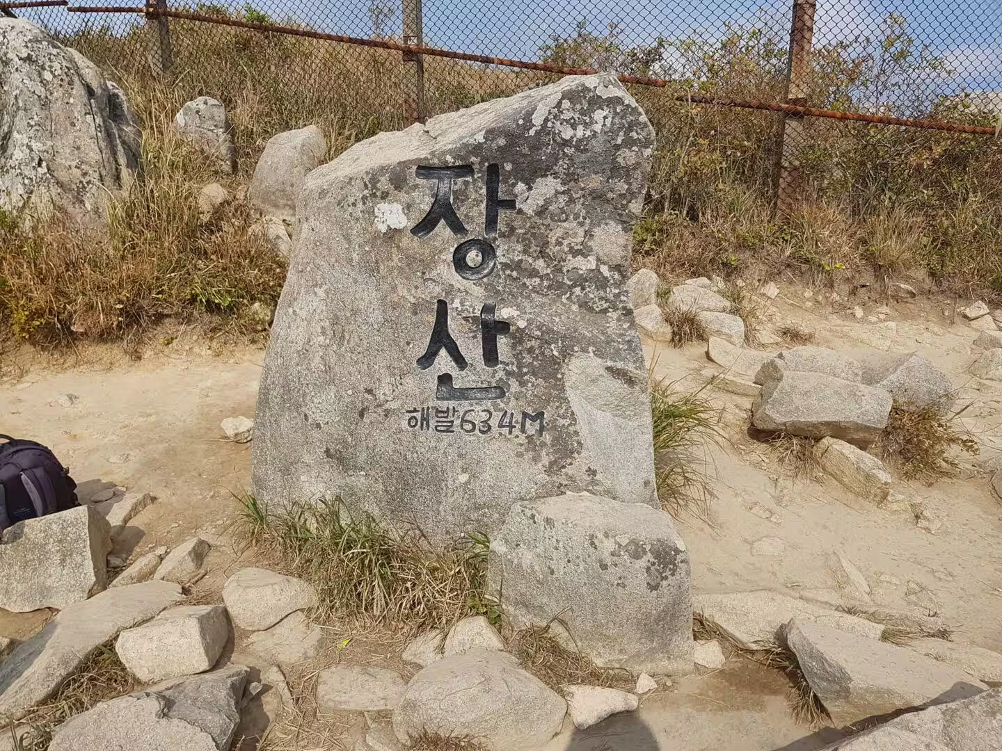
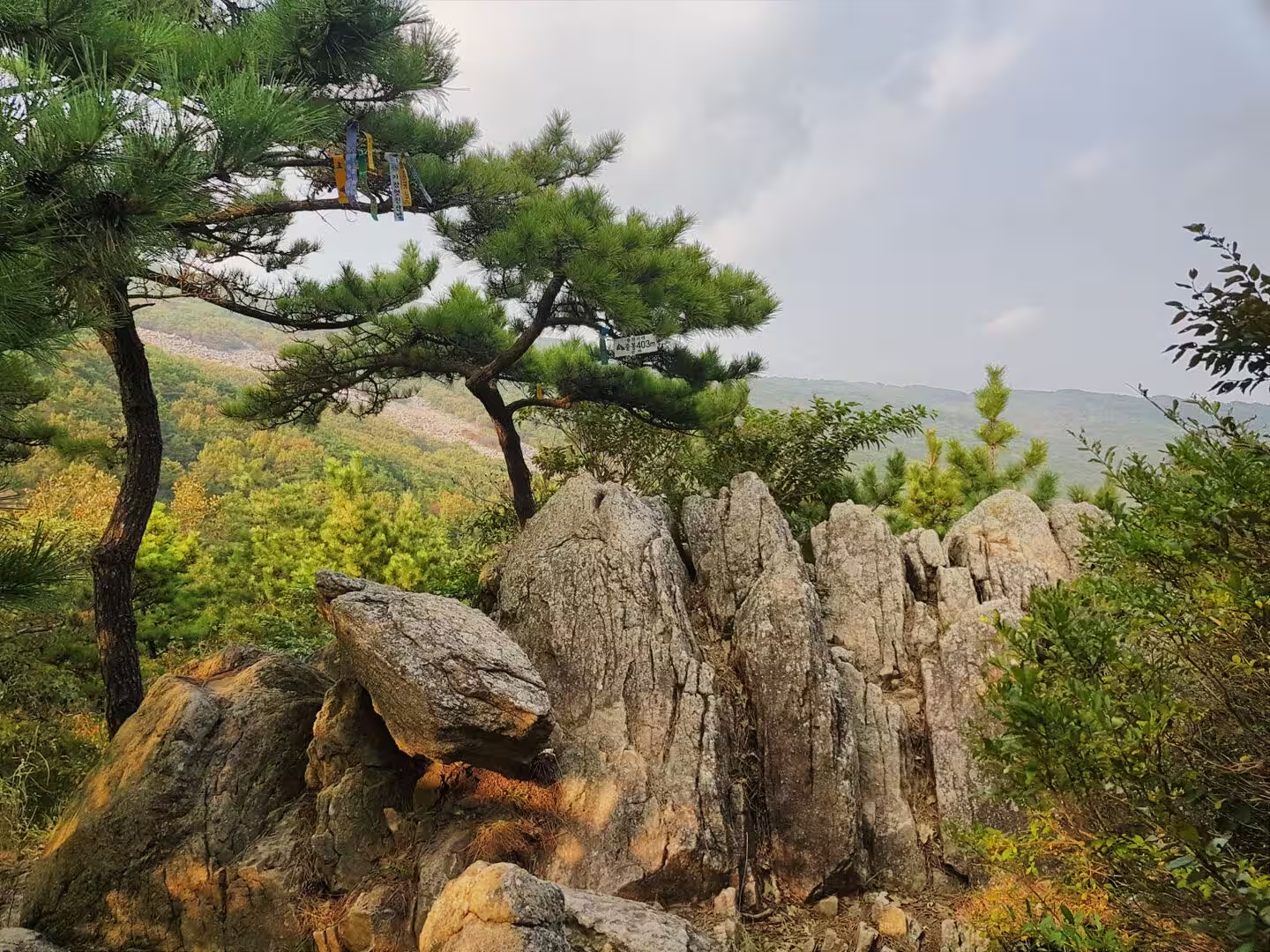
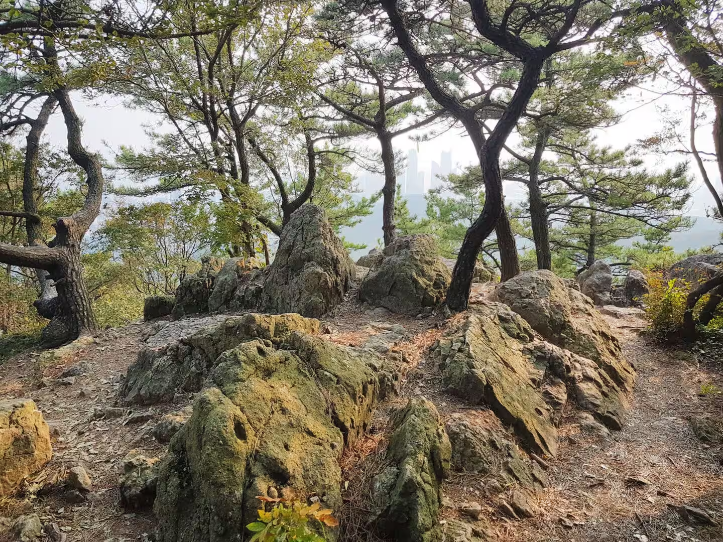
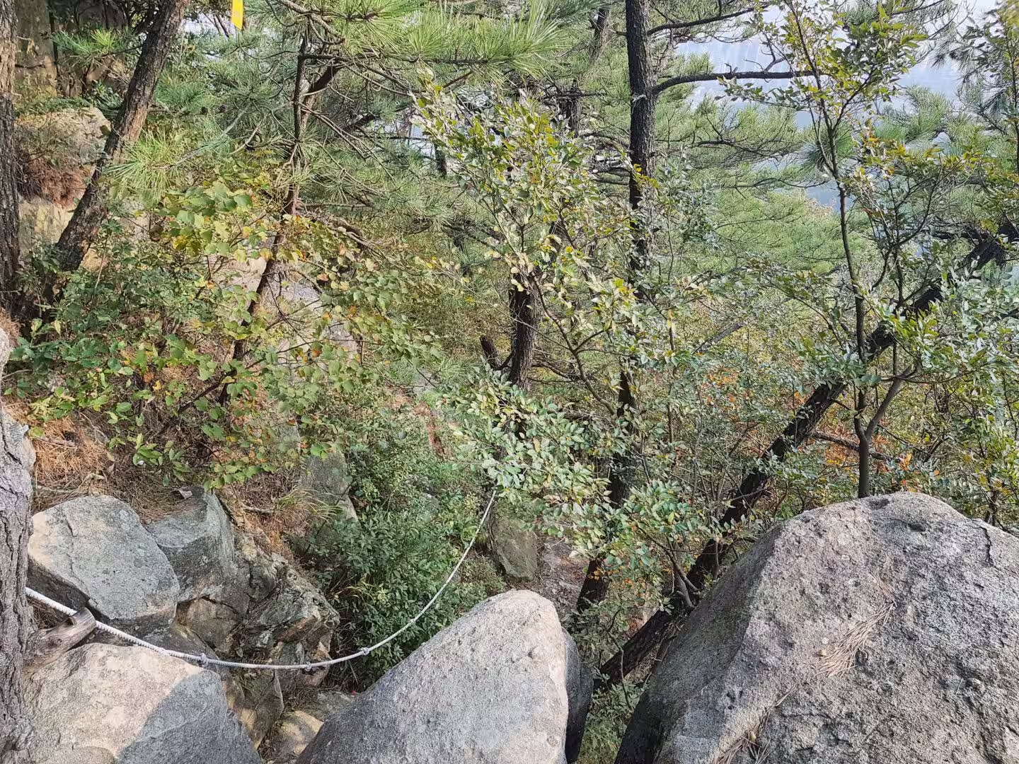
The mountains in the middle of the city are the old rocks at their most visible. The highest ridge within the city is the mountain at Jangsan, which rises to six hundred and thirty four metres above the sea in the north east, and the other summits around the bay, on whose slopes the great temple of the city stands, form the same system. The trails that cross them are used every day of the year, they pass through pine woods and weathered granite, and from their tops the whole arrangement of the city, the port and the surrounding sea becomes clear.
The water of the region is the other force in the landscape. The Nakdong, the longest river in South Korea, reaches the sea to the west of the city and has built the delta that the port and the airport occupy, the tides move the silt in and out of the harbour twice a day, and the dredging that keeps the channels open is a permanent expense of being the sixth busiest container port in the world. The city is a machine for moving water and goods, and the geology is what makes the machine possible.
Things to See
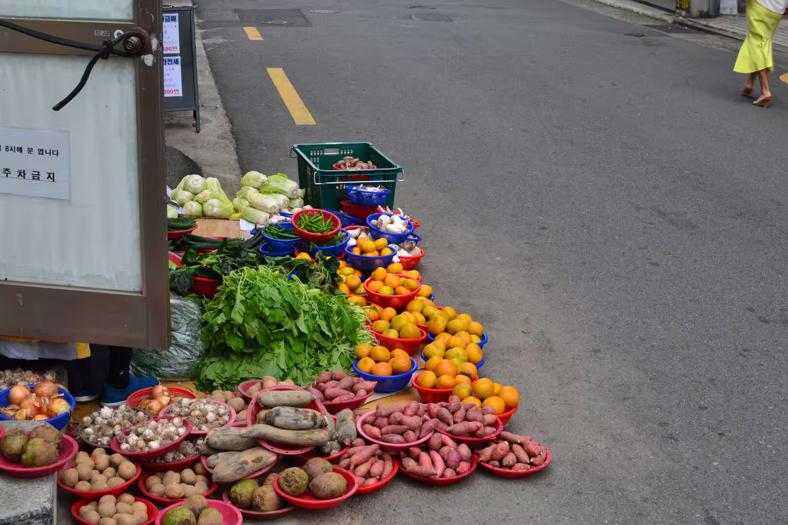
The market is the first thing to see and the best introduction to the city. The fish market at Jagalchi, on the edge of the old port, is considered the largest in the country, and the trade is visible at every stage: the tanks and the trays of the ground floor, the stalls of the upper hall where the fish is cooked and eaten on the spot, the women who sell from the pavement and the restaurants that open onto the street. The trays of dried skate and the tanks of live fish are the sights of the place, and the food that comes out of it is the reason to arrive hungry.
The street food is the second education of the day. The stalls and the covered wagons known as pojangmacha sell from the afternoon until late, the skewers are eaten standing at the counter, and the stews of the region are the dishes that the city is proudest of. The army base stew, which was created after the Korean War from the canned and processed food of the military stores, mixes ham, sausage, noodles and kimchi in a broth, and it is the most Busan of the local dishes, a recipe that records the history of the city in a single pot.
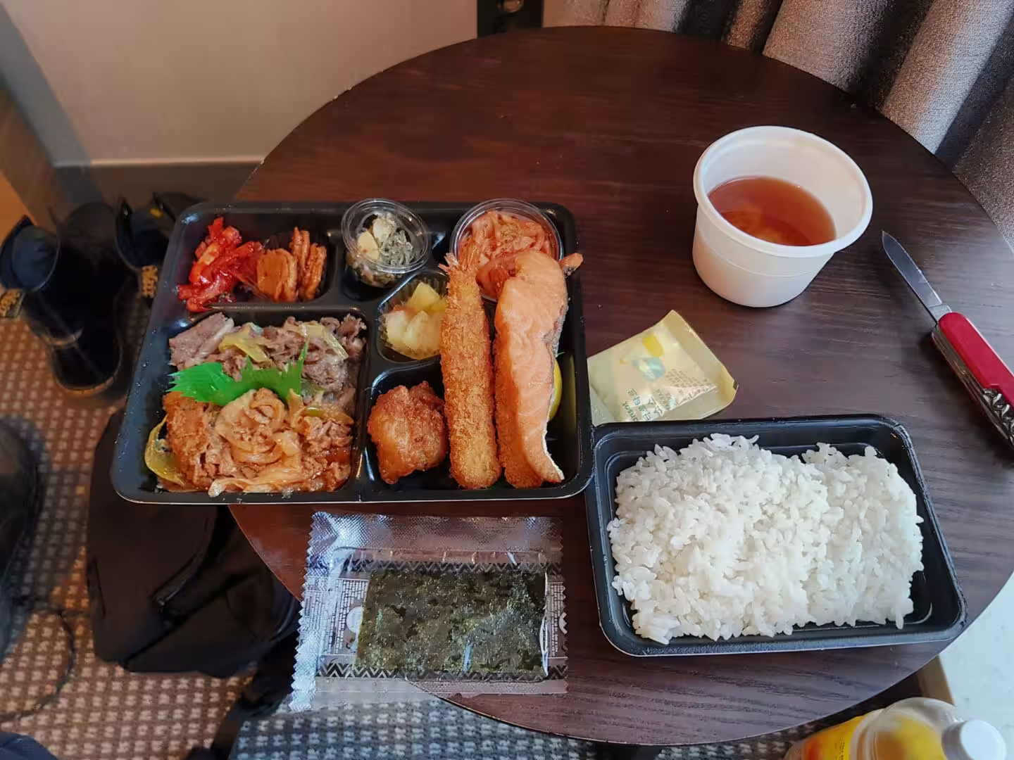
The food of Korea more generally is built on rice and side dishes. A meal is named for the number of banchan that accompany the rice, kimchi appears at nearly every one of them, and the fermented vegetables that are the country’s signature are made with the lactic acid bacteria that give them their sourness and their keeping quality. The set meals of the coast, with the fried fish and the soup and the small dishes in their separate compartments, are the most practical way to eat well in the city, and the tea that comes at the end is part of the arrangement.
The bridges and the beaches are the postcard of Busan. The suspension bridge across the bay, known as the Diamond Bridge for the lights that run along it at night, connects the two eastern districts and is one of the longest spans in the country, and the beach inside the bay is the place from which it is best seen. The beach further east is the older resort, with its promenade, its pines and its long curve of sand, and the two of them hold the social life of the city in summer and much of it in autumn.
The temples of the city are worth the trips they require. The temple on the slope of the mountain at Geumjeongsan, founded in the seventh century and one of the head temples of the Jogye Order, is the most important of them, and the walk up to it through the pine woods is part of the visit. The temple on the coast at Gijang, which claims a foundation in the fourteenth century and stands directly above the sea, is the other, and the two together show the two traditions of Korean Buddhist building: the mountain temple and the temple that looks out over the water.
The hillside village of Gamcheon is the last of the sights and the one that has changed most. It began as a neighbourhood that the city laid out on the slope in the nineteen twenties and thirties for working class families, it grew during the war and after it, and in the last two decades it has been repainted, restored and filled with small galleries and cafes so that it is now called the Santorini of Korea. The lanes are narrow, the houses are stacked so that the roof of one is the terrace of the next, and the view from the top is of the whole western half of the city.
The city itself needs no itinerary beyond the one the day makes. The tower in the park above the old centre is a hundred and twenty metres high and gives the standard view of the port, the shopping district at Seomyeon is the commercial heart of the modern city, and the cinema centre at Centum City, with its enormous cantilevered roof, is the building that the city is proudest of. A walker who wants the whole of Busan in one afternoon should take the subway to the old centre, walk the market and the alleys, ride to the bay for the bridge and the beach, and finish on the hill above the harbour as the lights come on.
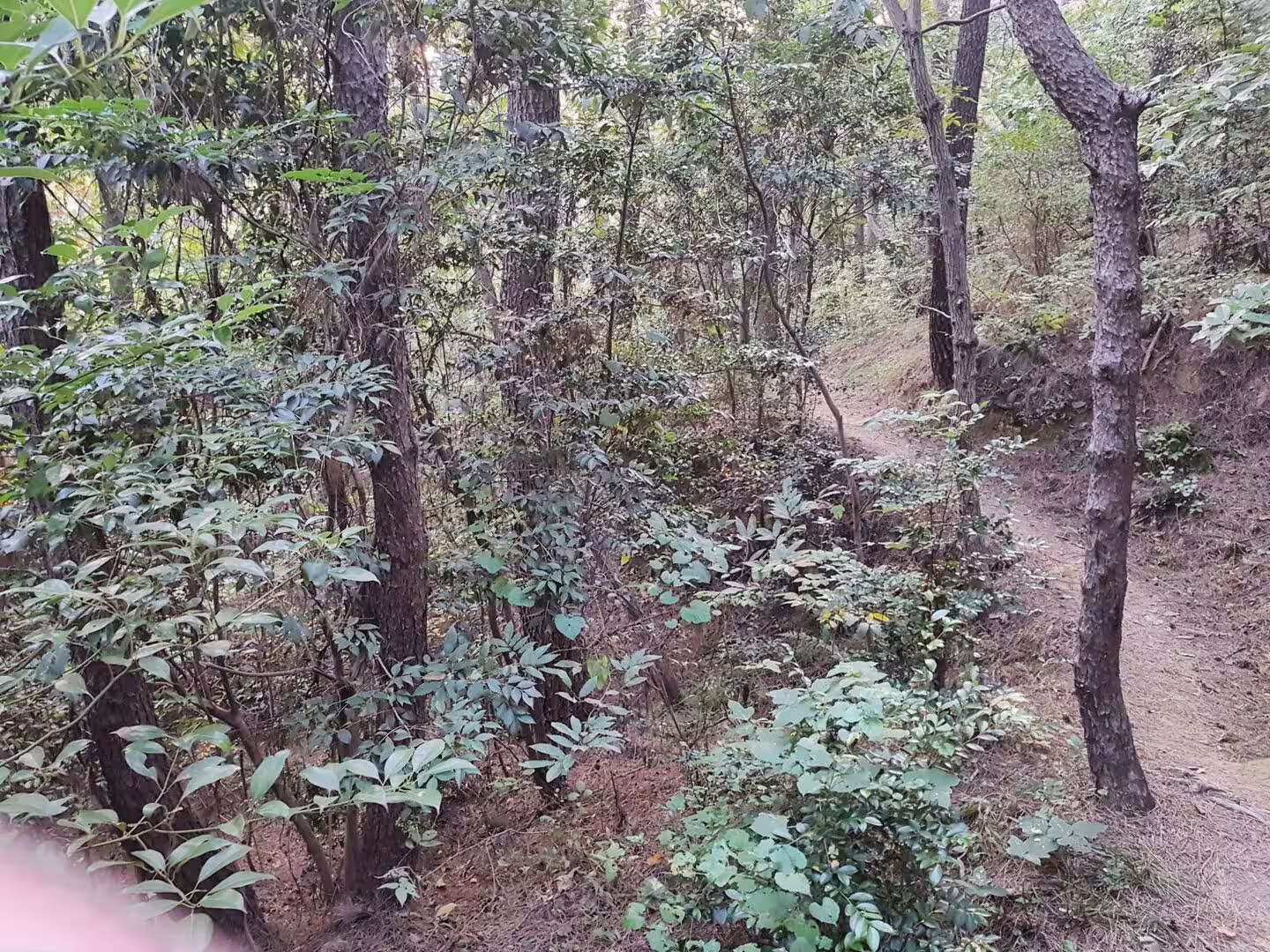
The walking in the mountains of the city is the part of a visit that most travellers miss. The trails of Jangsan and the ridges around the bay are used as ordinary routes by the people who live there, they are signposted and steep, and they climb from the apartment blocks into pine forest within half an hour. The summit marker at six hundred and thirty four metres looks down on the harbour, the beaches and the islands, and the walker who has spent the day in the markets and on the sand will understand the geography of the city from it in a way that no map manages.
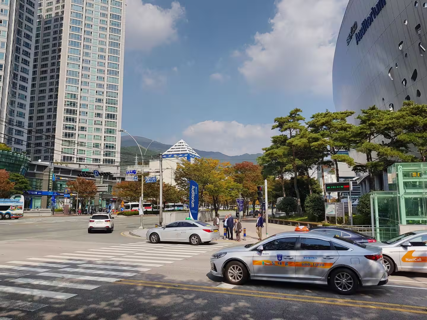
A word on the practicalities of a stay. The subway is the best way to move, the taxis are cheap and everywhere, and the etiquette of the city is written on the walls of the stations in illustrated posters that are worth reading. The autumn is the best season: the summer is hot and wet, the winter is cold and clear, and October brings the warm sea, the festivals and the light that makes the harbour look as it does on the posters. The city fills at the weekend, the beaches are busiest in the evening, and the markets are at their best in the early morning.
References
- Wikipedia contributors (2026). Busan. en.wikipedia.org/wiki/Busan
- Wikipedia contributors (2026). Haeundae Beach. en.wikipedia.org/wiki/Haeundae%20Beach
- Wikipedia contributors (2026). Gwangalli Beach. en.wikipedia.org/wiki/Gwangalli%20Beach
- Wikipedia contributors (2026). Gwangan Bridge. en.wikipedia.org/wiki/Gwangan%20Bridge
- Wikipedia contributors (2026). Jagalchi Market. en.wikipedia.org/wiki/Jagalchi%20Market
- Wikipedia contributors (2026). Gamcheon Culture Village. en.wikipedia.org/wiki/Gamcheon%20Culture%20Village
- Wikipedia contributors (2026). Beomeosa. en.wikipedia.org/wiki/Beomeosa
- Wikipedia contributors (2026). Haedong Yonggungsa. en.wikipedia.org/wiki/Haedong%20Yonggungsa
- Wikipedia contributors (2026). Busan Tower. en.wikipedia.org/wiki/Busan%20Tower
- Wikipedia contributors (2026). Yongdusan Park. en.wikipedia.org/wiki/Yongdusan%20Park
- Wikipedia contributors (2026). Seomyeon, Busan. en.wikipedia.org/wiki/Seomyeon%2C%20Busan
- Wikipedia contributors (2026). Yeongdo District. en.wikipedia.org/wiki/Yeongdo%20District
- Wikipedia contributors (2026). Oryukdo. en.wikipedia.org/wiki/Oryukdo
- Wikipedia contributors (2026). Busan Cinema Center. en.wikipedia.org/wiki/Busan%20Cinema%20Center
- Wikipedia contributors (2026). Busan International Film Festival. en.wikipedia.org/wiki/Busan%20International%20Film%20Festival
- Wikipedia contributors (2026). Korean cuisine. en.wikipedia.org/wiki/Korean%20cuisine
- Wikipedia contributors (2026). Battle of Pusan Perimeter. en.wikipedia.org/wiki/Battle%20of%20Pusan%20Perimeter
- Wikipedia contributors (2026). United Nations Memorial Cemetery. en.wikipedia.org/wiki/United%20Nations%20Memorial%20Cemetery
- Wikipedia contributors (2026). South Korea. en.wikipedia.org/wiki/South%20Korea
- Wikipedia contributors (2026). Jangsan (Busan). en.wikipedia.org/wiki/Jangsan%20%28Busan%29
- (ohne Angabe) (2002) The Pusan Perimeter. The Korean War. 89-98. doi.org/10.4324/9780203501092-6
- Cha C.W. (2015) The Trauma and Their Healing of Korean War Refugees Settled in Busan. CHIYEOK KWA YEOKSA The Journal of Korean History. 36. 325. doi.org/10.19120/cy.2015.04.36.325
- Yoo Y., Kim I. (2018) A Study on the Authenticity through the Regeneration Sustainable Cultural Tourism Destination : Focused on Gamcheon Culture Village in Busan, Korea. International Journal of Tourism Management and Sciences. 33. 259-275. doi.org/10.21719/ijtms.33.4.15
- Ick M.T. (2003) Factors Affecting Kimchi Fermentation. Japanese Journal of Lactic Acid Bacteria. 14. 56-71. doi.org/10.4109/jslab1997.14.56
- Houck K.J., Lockley M.G. (2006) Life in an active volcanic arc: Petrology and sedimentology of dinosaur track beds in the Jindong Formation (Cretaceous), Gyeongsang Basin, South Korea. Cretaceous Research. 27. 102-122. doi.org/10.1016/j.cretres.2005.10.004
- LEE J.I., LEE Y.I. (1998) Feldspar albitization in Cretaceous non‐marine mudrocks, Gyeongsang Basin, Korea. Sedimentology. 45. 745-754. doi.org/10.1046/j.1365-3091.1998.00173.x
- Ryoo D.K., Choi J.Y., Kim T.G. (2012) A Study on Stabilizing Container Terminal Market in Busan Port. Journal of Korean navigation and port research. 36. 895-904. doi.org/10.5394/kinpr.2012.36.10.895