Day 18 - Etosha National Park
22 May 2019
Journal Notes
General
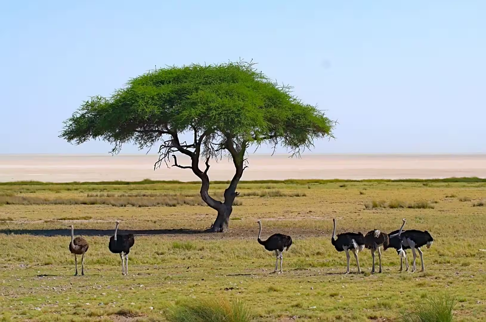
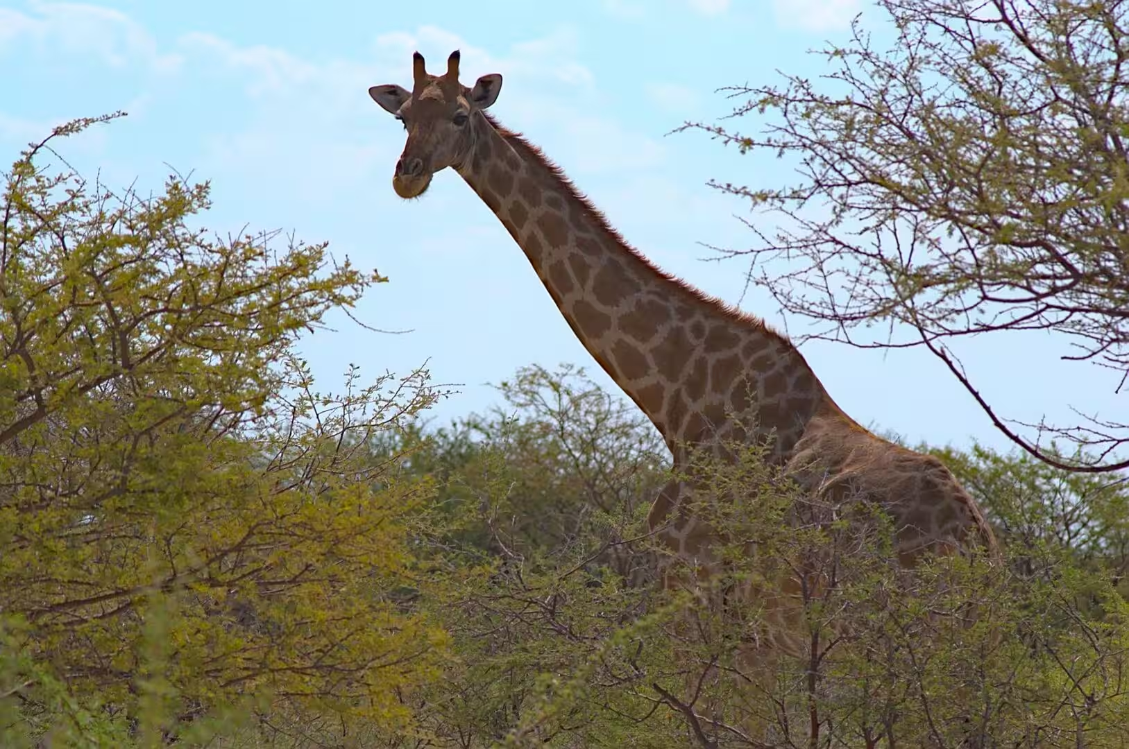
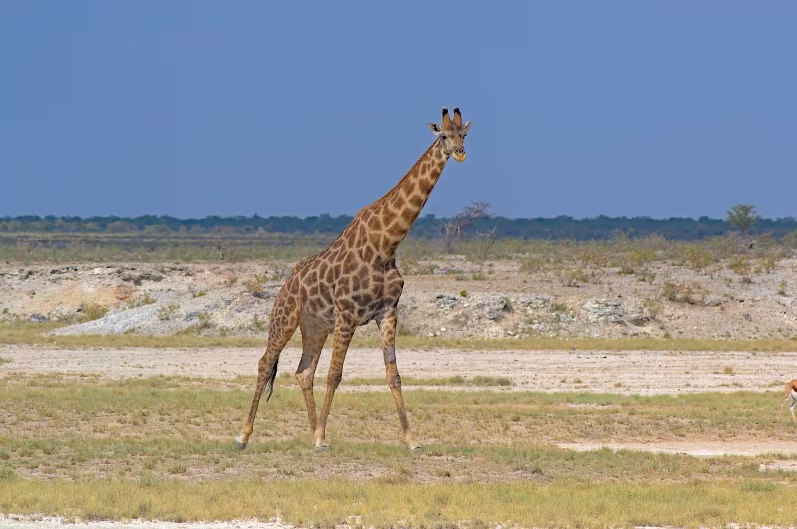
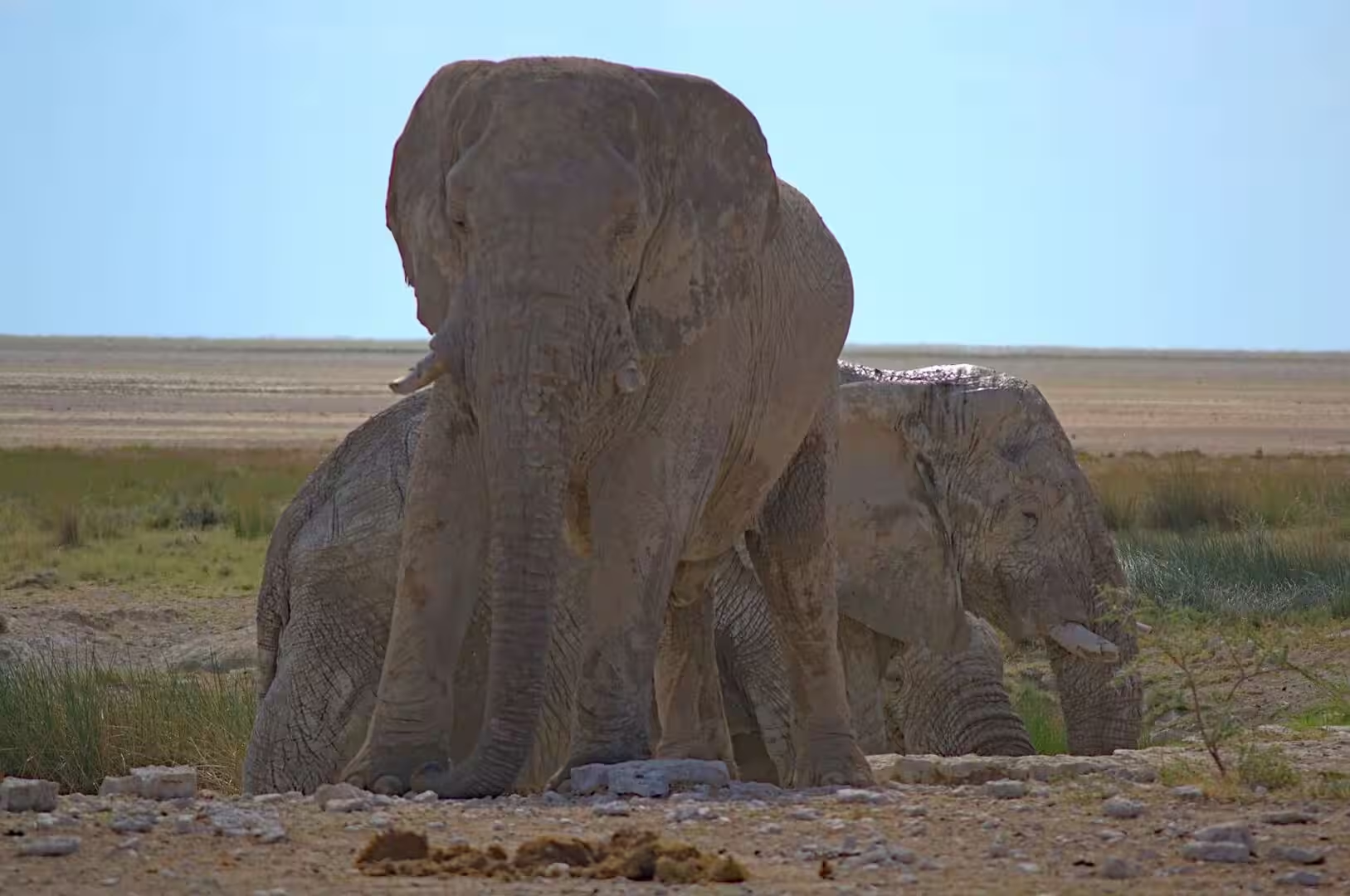
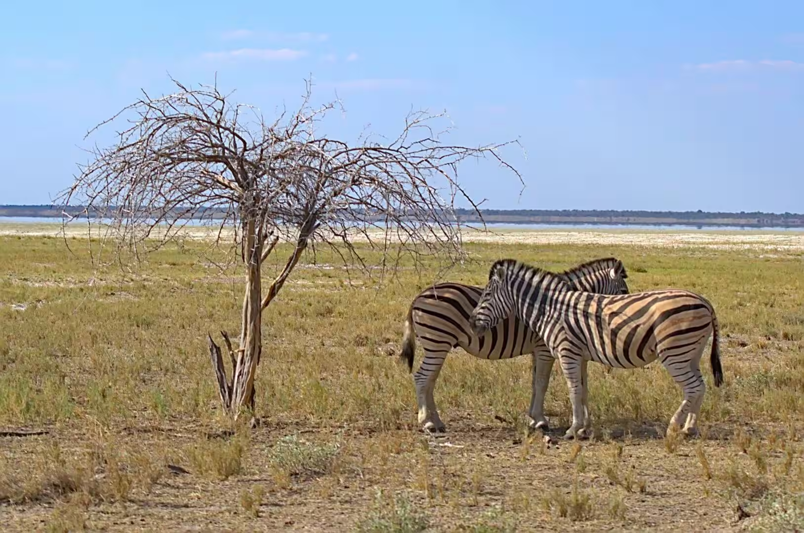
The eighteenth day was the last morning in Etosha and the drive out of the park to the south. The light of the early hours is the best of the day in this country, the gates open with the sunrise, and the first hour on the road belongs to the animals: the ostriches on the plain beside the acacias, the giraffes walking out of the bushes one by one, the elephants of the waterhole of the morning, and the zebras with the twisted leafless tree that the whole park knows.
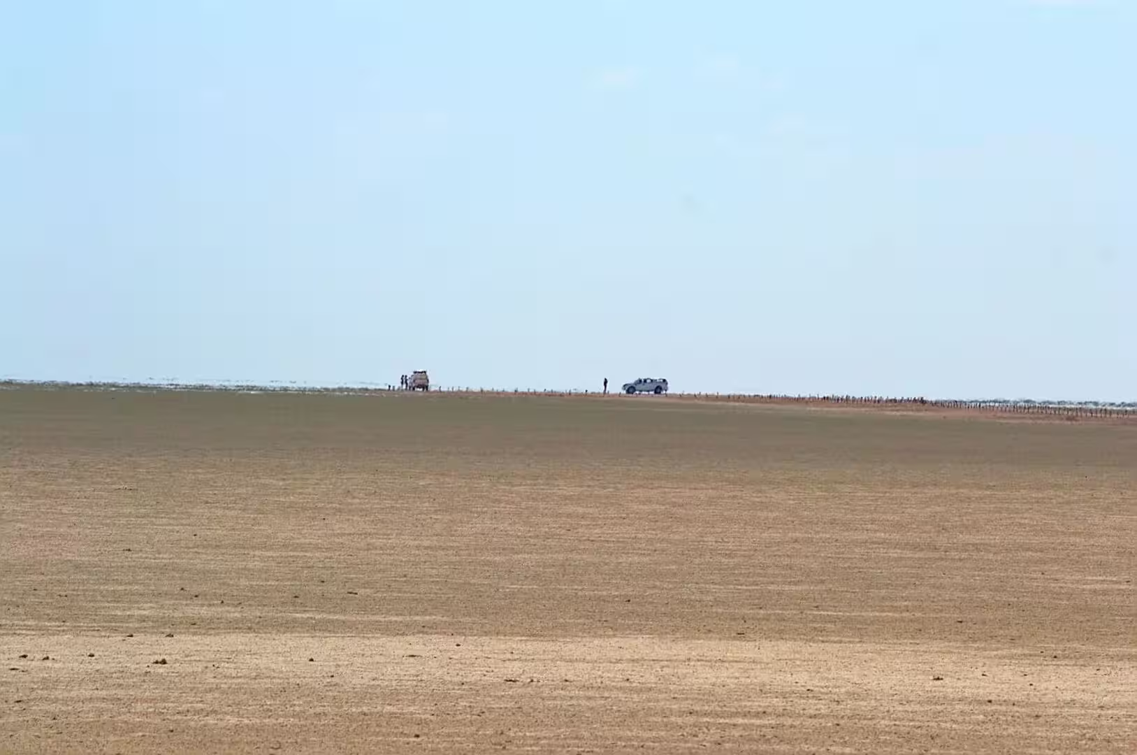
The drive out of the park is a sequence of landscapes that the visitor learns to read. The pan and the plains of the north give way to the thorn and the mopane woodland of the centre, the waterholes get further apart, the settlements of the communal land appear along the road, and the country of the farms begins with the first fences and the first wind pumps. The two cars crossing the enormous brown plain in the middle distance are the scale of the day: a country with nothing in it but the road and the animals.
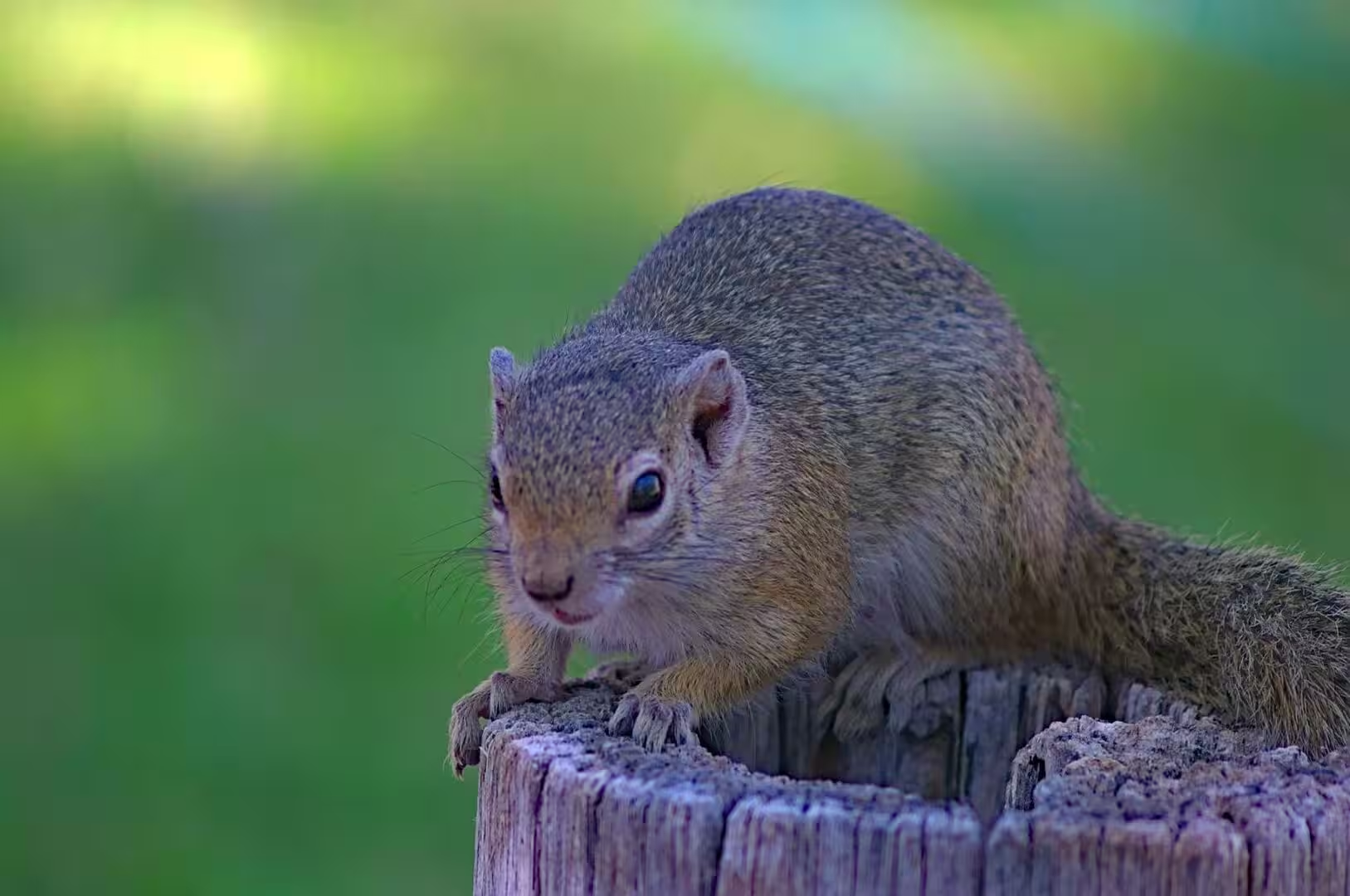
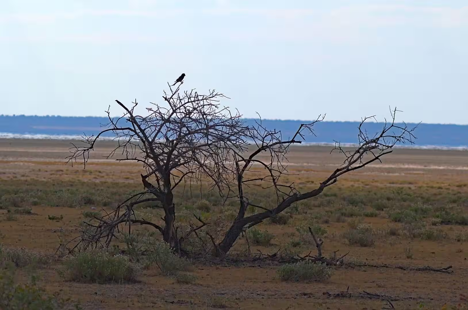
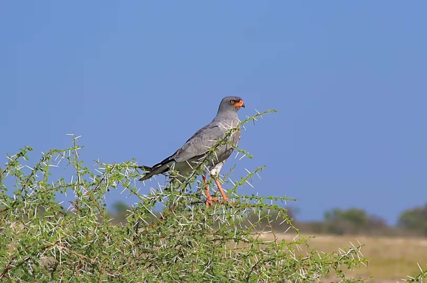
The birds of the morning were the last of the park. The dark bird on the bare branches of the dead tree, the grey hawk with the orange legs on the thorn bush, and the ordinary species of the roadside completed the list, and the squirrel on the stump of the camp was the smallest animal of the journey. The day was the proof of the observation that the wildlife of this country is not only the large animals: the small creatures of the camps and the roadsides are as much a part of it as the lions.
The evening was spent at a camp on the way south, with the trucks of the road parked in the yard and the fire going outside the kitchen. The journey was coming to an end, the tent was packed for the last time, and the conversation of the evening was the list of what the three weeks had produced: the deserts, the canyons, the rock art, the elephants of the riverbeds and the animals of Etosha, and the distance between the first camp in Windhoek and the last one in the bush.
History
The road south is the road that the whole history of the country has travelled. It was the ox wagon route of the missionaries and the traders, then the gravel road of the German administration, then the tarred artery of the independent state, and the settlements along it are the towns of that history: the mission stations, the garrisons, the mining camps and the administrative centres that the travellers of every period have used. The visitor who drives it in a day is following a hundred and fifty years of Namibian traffic.
The communal land beside the park has its own history of the twentieth century. The land of the north was divided by the colonial administrations, the communities were moved to make room for the reserve and the farms, and the conservancies that now run the tourism of the region beside the park are the result of the settlement that the independent state made with them. The visitor who stops at a roadside stall or a campsite on the way south is contributing to that arrangement, and the country watches where the money goes.
The farms of the centre of the country are the other half of the road. The cattle of the Herero and the other communities of the north east, the game farms that have replaced the sheep of the interior and the lodges that the travellers use are all part of the economy of the centre, and the country between the park and the capital is the most settled and the most agricultural of the journey. The wind pumps, the fences and the fields of maize are the signs of it, and the traveller who has crossed the desert will find them a welcome sight.
The end of the journey has its own history in the record of the country’s tourism. The self drive route that the visitors follow, from the capital to the south, the desert, the coast, the north west and the parks, was built up over the last thirty years and is now the backbone of the Namibian industry: the camps, the lodges and the roads that make it possible are the investment of that period, and the country that the visitor crosses in three weeks is the product of a deliberate effort to make it accessible. It works, and the visitor is the proof.
Geology
The country between the park and the capital is the transition from the basin of the north to the highland of the centre. The plains of Etosha give way to the woodland and then to the thorn savanna of the interior, the flat floors of the basins are replaced by the gently rolling surface of the plateau, and the altitude rises until the air of Windhoek is thin enough to make the visitor notice it. The geology along the road is the record of that change, from the calcrete and the salt of the pan to the quartzites and the granite of the highland.
The mopane woodland of the centre is the vegetation of the change. The mopane tree dominates the country of the north and the centre of the country, it loses its leaves in the dry season, and the pale wood and the hard timber are the material of the fences and the fuel of the villages. The vegetation belt that the road crosses is one of the most widespread in southern Africa, and the visitor who has watched the country change from the scrub of the west to the mopane of the centre has seen the map of the biomes with their own eyes.
The thorn trees and the acacias of the plains are the other vegetation of the drive. The camelthorn of the riverbeds, the umbrella shaped acacias of the savanna and the small thorn bushes of the waste are the furniture of the country that the animals of the day use, and the pods and the leaves of the acacias are the food of the giraffes that the visitor has watched. In a country with an eight month dry season, the tree that keeps its leaves is the centre of the life of everything around it.
The underground water of the whole of the north is the reason it is inhabited at all. The sand and the limestone of the basins hold the water of the rare rain, the boreholes of the farms and the villages reach it at depths of tens and hundreds of metres, and the wind pumps that the visitor sees from the road are the machines of that supply. The traveller who fills a bottle at a camp tap in the middle of the country is drinking water that may have fallen as rain on the highlands of Angola a generation ago, and the thought is worth the pause.
Things to See
The early morning drive is the best of the day and the reason for the late night of the camp. The animals of the park are active in the first hour of the light, the cats are finishing the night’s work, the antelopes and the giraffes feed in the open, and the same waterholes that were quiet in the middle of the day are busy with the species of the dawn. The visitor who leaves the camp with the gate and drives the waterholes of the west in the light of the sunrise will see more in two hours than in the whole of a hot afternoon.
The birds of the morning are the speciality of the park for anyone with the patience. The secretary bird and the kori bustard of the grass, the eagles and the hawks that the visitor finds sitting in the trees, the white-headed and the lappet-faced vultures at a kill, the francolins and the guineafowl of the roadside and the small birds of the thorn bushes are all part of it, and the hides of the waterholes are the best places to watch them without disturbing the animals. The park is one of the notable birding destinations of Africa, and the drive out is a birding day.
The camp on the way south is the last stop of the park and the first of the interior. The pitches are among the trees, the water is hot, the shop has the food and the fuel for the last stage, and the evening is spent with the trucks of the road and the other travellers of the country. The visitor who takes a walk at the edge of the camp at sunset will see the birds of the bush and the first of the small animals of the night, and the sky of the interior is as good here as anywhere in the country.
The animals of the day are the summary of the park. The zebras and the giraffes that the visitor has watched for two days, the elephants of the waterholes, the antelopes of the plains and the predators that are always a matter of luck are the species of the postcards, and the park delivers them with a regularity that no other place in the country can match. The visitor who leaves it with a list and a notebook full of observations has had the wildlife experience that the journey was for.
The practical advice for the last day in the park is the advice of the gate and the road. The visitor must be out of the camp after the gate opens and inside the next one before it closes, the drive to the south is long and the fuel and the food for it should be taken at the camp of the morning, and the road beyond the park is tarred and fast. The animals on the road are the real danger of the day and the visitor who drives the last hours in the dark has made a mistake: the camps of the south are the place to stop, and the drive to the capital is best made in the light of the next morning.
The drive out of the park deserves a last word about the light. The country of the north has the transparency of the dry season, the distances are deceptive, and the vehicles that the visitor meets on the road at the end of the day are the only sign that the park has any boundaries at all. The colours of the hour before the sunset, the pale gold of the grass, the white of the pan and the blue of the hills on the horizon, are the last of Etosha, and the visitor who stops the car on the road out and turns around for one final look will not need to be told what they have seen.
References
- Wikipedia contributors (2026). Etosha National Park. en.wikipedia.org/wiki/Etosha%20National%20Park
- Wikipedia contributors (2026). Etosha Pan. en.wikipedia.org/wiki/Etosha%20Pan
- Wikipedia contributors (2026). Black rhinoceros. en.wikipedia.org/wiki/Black%20rhinoceros
- Wikipedia contributors (2026). Oryx. en.wikipedia.org/wiki/Oryx
- Wikipedia contributors (2026). Lion. en.wikipedia.org/wiki/Lion
- Wikipedia contributors (2026). Springbok. en.wikipedia.org/wiki/Springbok
- Wikipedia contributors (2026). African bush elephant. en.wikipedia.org/wiki/African%20bush%20elephant
- Wikipedia contributors (2026). Giraffe. en.wikipedia.org/wiki/Giraffe
- Wikipedia contributors (2026). Namibia. en.wikipedia.org/wiki/Namibia
- Wikipedia contributors (2026). Greater kudu. en.wikipedia.org/wiki/Greater%20kudu
- Wikipedia contributors (2026). Hartmann’s mountain zebra. en.wikipedia.org/wiki/Hartmann’s%20mountain%20zebra
- Hipondoka M., Mauz B., Kempf J., Packman S., et al. (2014) Chronology of sand ridges and the Late Quaternary evolution of the Etosha Pan, Namibia. Geomorphology. 204. 553-563. doi.org/10.1016/j.geomorph.2013.08.034
- Brooks P. (1989) Proposed conservation plan for the black rhinoceros <I>Diceros bicomis</i> in South Africa, the TBVC* states and Namibia. Koedoe. 32. doi.org/10.4102/koedoe.v32i2.470
- Brodie J.F., Muntifering J., Hearn M., Loutit B., et al. (2011) Population recovery of black rhinoceros in north‐west Namibia following poaching. Animal Conservation. 14. 354-362. doi.org/10.1111/j.1469-1795.2010.00434.x