Australia - Northern Territory · 2019
2019 Australia - Northern Territory






Journal Notes
General
The Northern Territory is the third largest of Australia’s federal divisions, with 1,347,791 square kilometres, which also makes it the eleventh largest country subdivision in the world, and it is one of the emptiest: 260,400 people lived there in March 2025, fewer than half the population of Tasmania. The residents call themselves Territorians. The capital holds about 52.6 per cent of the population, and the largest inland settlement, Alice Springs, has roughly 25,000 inhabitants.
Two climates govern the Territory. The northern part, the Top End, is tropical monsoon country with a wet season from October to April and a dry season from May to September, and it receives more than 1,570 millimetres of rain a year. Humidity in the wettest months averages above seventy per cent in the afternoon; the dry months are warm and sunny, with an afternoon humidity near thirty per cent. Alice Springs and Uluru, in the centre, lie in semi-arid country that sees less than 250 millimetres a year and records frost on a few winter nights.
Darwin is the smallest, wettest and most northerly of the Australian capitals, a city of 139,902 people built on a low bluff above a natural harbour, and it has been rebuilt almost entirely four times: after the cyclones of 1897 and 1937, after the Japanese air raids of 1942 and after Cyclone Tracy in 1974. The Larrakia people are the traditional owners and know the place as Garramilla, white stone. Aboriginal people make up 10.4 per cent of the population, the largest proportion of any Australian capital, and 38.3 per cent of residents were born overseas.
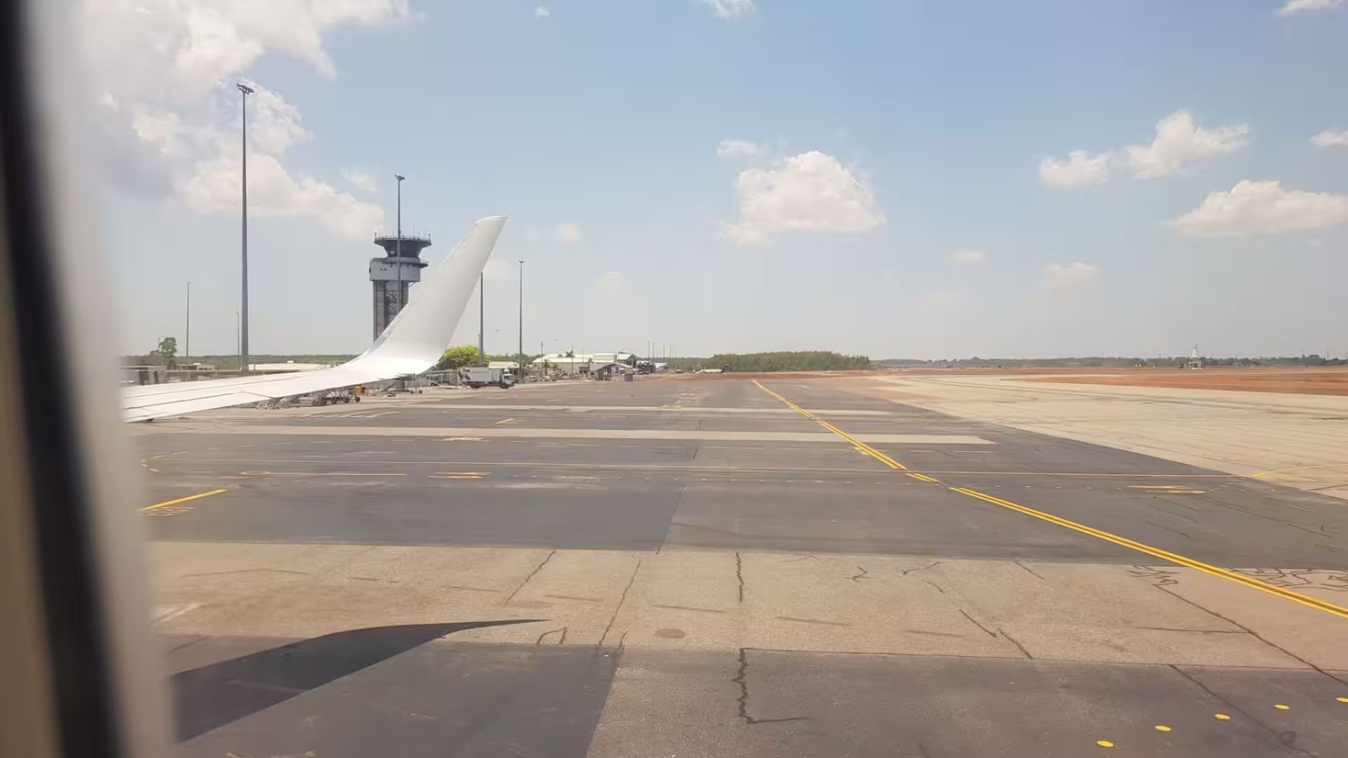
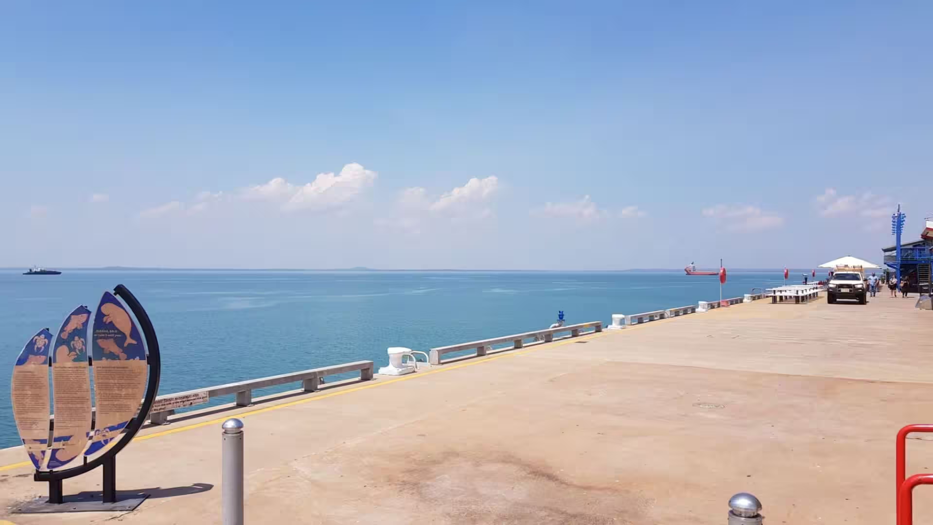
The economy of the north rests on mining, petroleum and tourism, and the city has rebuilt its own shoreline in the space of two decades: the East Arm Wharf opened in 2000, and the waterfront project of the 2000s brought a convention centre, apartments and a safe swimming lagoon to the edge of the business district. Darwin is a military town as well, sharing its runways with the Royal Australian Air Force. Because the harbour lies closer to the Indonesian archipelago than to any Australian capital, the city’s kitchen is unlike any other in the country, and laksa has become the favourite meal.
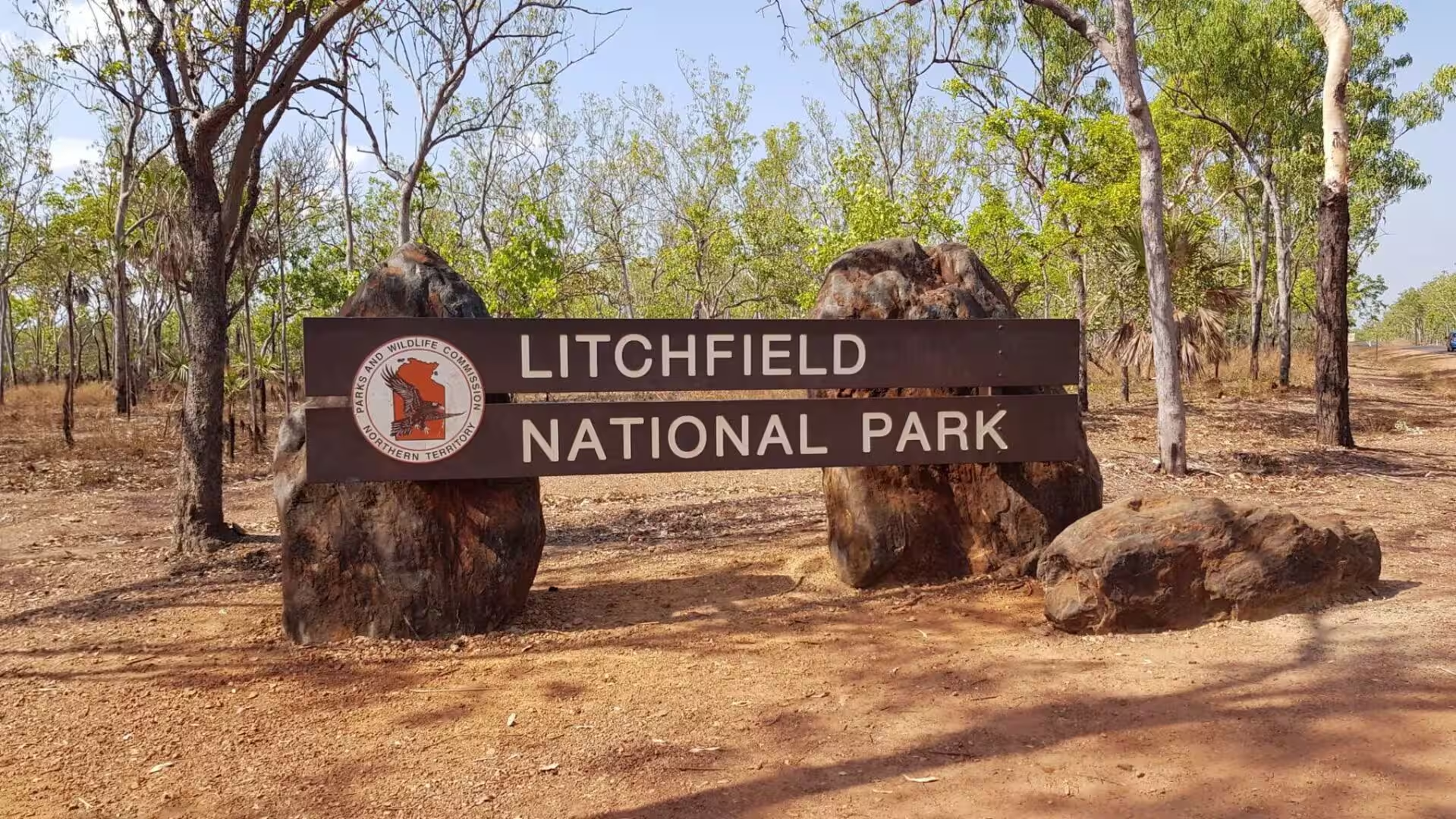
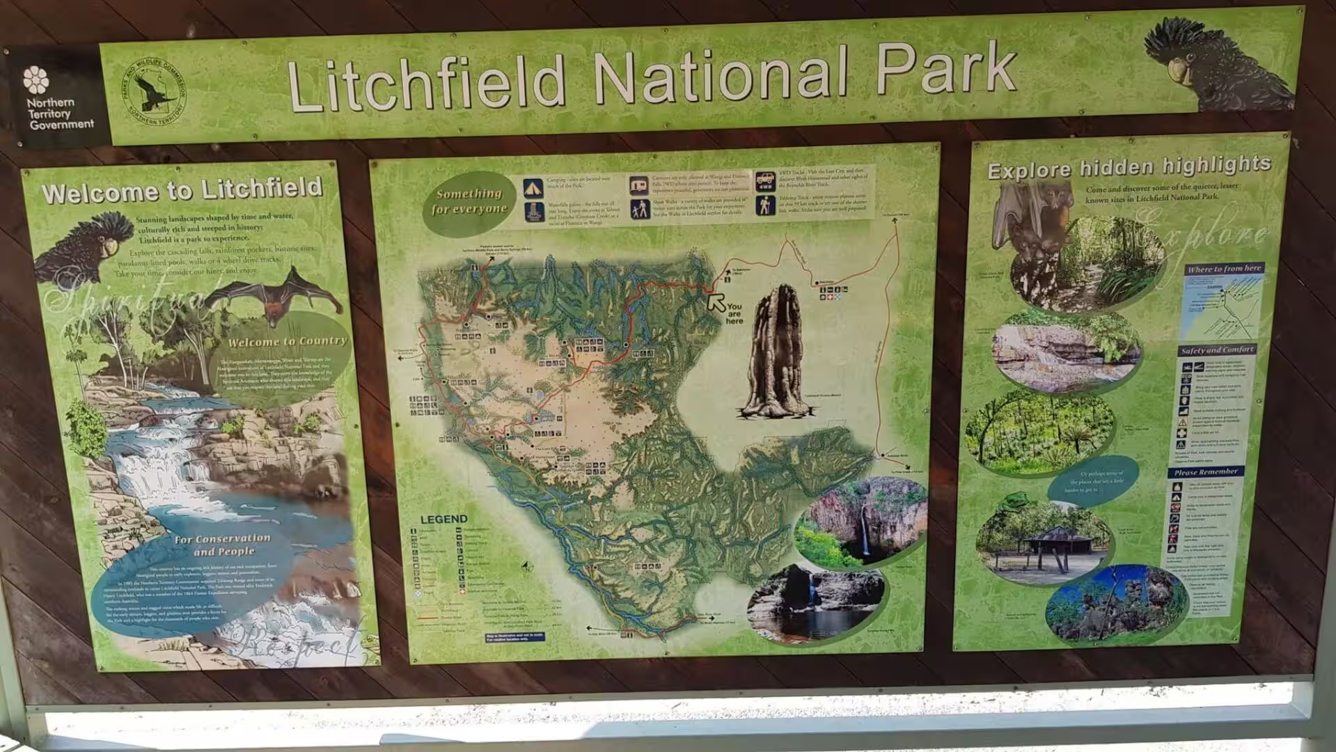
South-west of the city, at the end of a sealed road that leaves the Stuart Highway near the township of Batchelor, lies Litchfield National Park, roughly 1,500 square kilometres of sandstone plateau, savanna woodland and monsoon rainforest that receives over 329,000 visitors a year. The park is closer to Darwin than Kakadu National Park; its waterfalls, plunge pools and mound fields are linked by sealed roads, and camping is permitted at Wangi Falls, Buley Rockhole, Florence Falls and several other sites.
History
Human beings have lived in the country that is now the Northern Territory for at least 48,400 years, and quite possibly for more than sixty thousand. From the seventeenth century onwards seafarers from Sulawesi came south each season to collect trepang, the sea cucumber of the Chinese trade. The Larrakia, who call themselves the Saltwater People, are the traditional owners of the Darwin region; they navigated the harbour in canoes for fishing, trade and ceremony, and their country was crossed by songlines that carried stories to the Tiwi and the Wadjiginy.
The European history of the north begins with failure. In September 1839 the surveying ship HMS Beagle entered the harbour, and its commander, John Clements Wickham, named it Port Darwin after Charles Darwin. Three decades later, on 5 February 1869, the Surveyor-General of South Australia, George Goyder, landed 135 people between Fort Hill and the escarpment and founded a settlement he called Palmerston. Palmerston became the northern terminus of the Overland Telegraph Line, built between 1870 and 1872 across 3,200 kilometres to Adelaide, bringing the news of Europe to Australia in hours instead of months.
Gold found by workers on the telegraph line at Pine Creek in the 1870s brought the first rush of people, and the Chinese who came to the diggings and stayed to build the railway from Palmerston numbered 6,122 in the Territory by 1888. The settlement was renamed Darwin in 1911, when the Territory was transferred from South Australia to the Commonwealth, and in 1919 it entered aviation history: the Vickers Vimy of Ross and Keith Smith landed at the aerodrome in Parap on 10 December of that year, completing the first flight from England to Australia.
On 19 February 1942, 188 Japanese aircraft attacked Darwin in two raids, the largest single attack ever mounted by a foreign power on Australia, and more than half of the civilian population left the town permanently; the official figure of 243 dead is disputed to this day. The city was destroyed a second time on Christmas Eve of 1974, when Cyclone Tracy passed over it with gusts of 217 kilometres an hour. Sixty-six people died, more than seventy per cent of the buildings were destroyed, and over 30,000 people were evacuated from a city of 47,000. Darwin was rebuilt to a stricter cyclone code, and on 1 July 1978 the Territory became self-governing with its own Legislative Assembly.
The history of Litchfield is a history of small enterprises in a hard country. Boyle Travers Finniss chose Escape Cliffs for his settlement in 1864 and failed there, and the park takes its name from a member of that expedition, Frederick Henry Litchfield, who led a small party south to the Daly River in September 1865. Tin was mined at Mount Tolmer from 1888 and at Bamboo Creek from 1906 until 1951, when a flood filled the shafts with water. Uranium was found just outside the eastern boundary of the present park in 1949, producing the Rum Jungle mine that operated from 1950 to 1971.
Geology
The Pine Creek Orogen, the belt of ancient folded rock that runs through the Top End, was formed around 1,800 million years ago, and its gold, uranium and base metals have been worked since the nineteenth century; the lateritic regolith that covers much of the interior is the product of millions of years of tropical weathering. The northern part of the Territory is tropical savanna, divided into the Arnhem Land, Carpentaria, Kimberley and Victoria Plains ecoregions, while the south is desert and xeric shrubland.
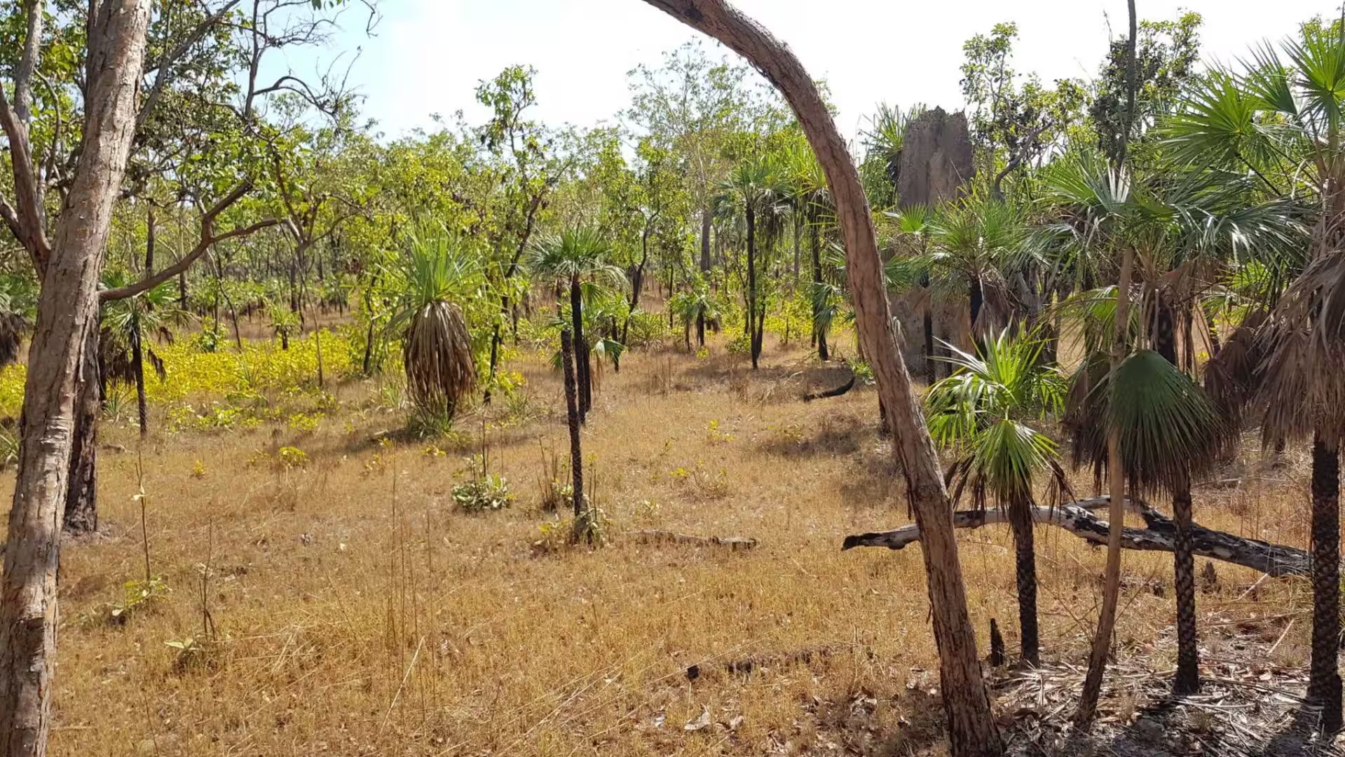
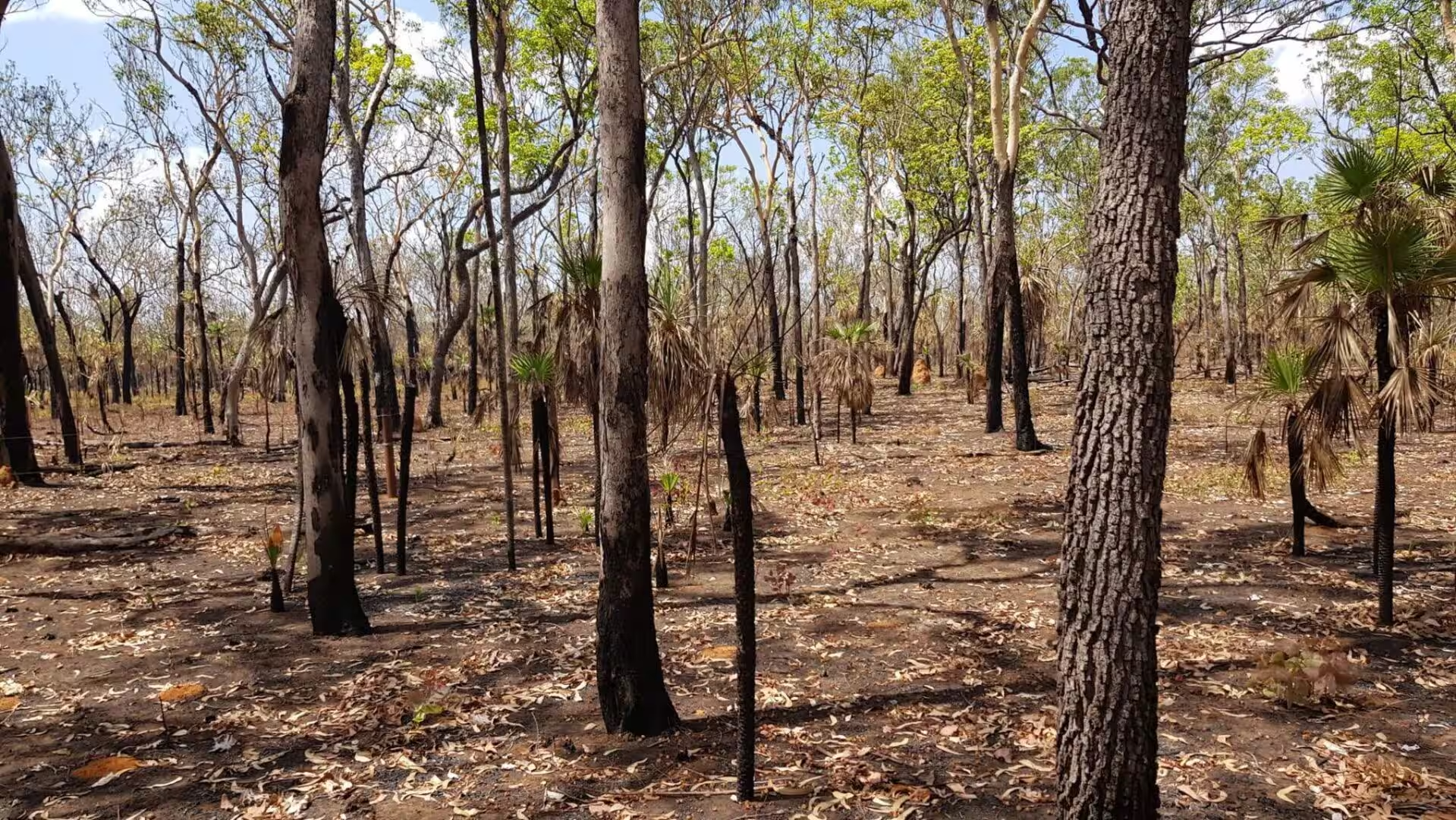
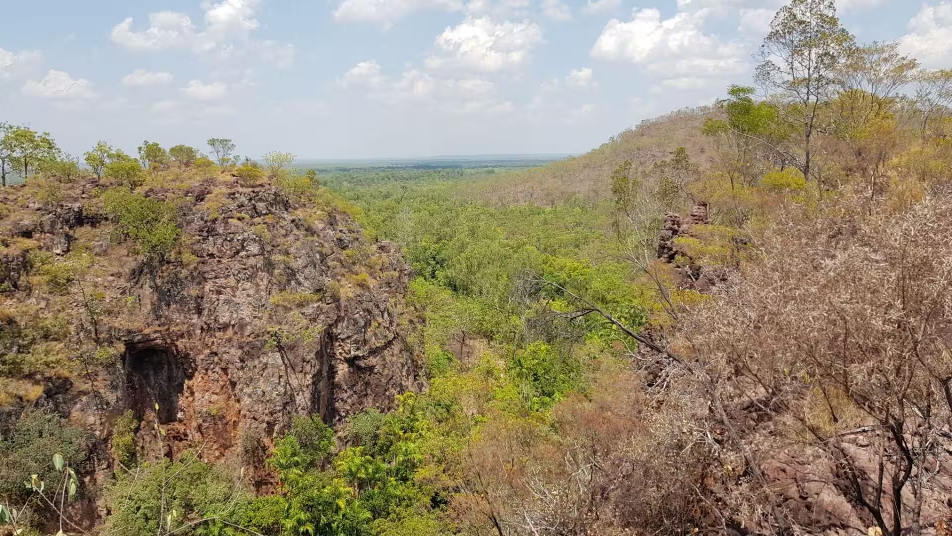
Litchfield sits on the central sandstone plateau of the Top End, a tableland whose thin soils and open woodland are dominated by two eucalypts, the Darwin woollybutt and the Darwin stringybark. Where the plateau breaks away, water has cut gorges, and the shaded crevices of the escarpment have preserved pockets of monsoon rainforest that survive on springs and shelter: pandanus, paperbark and swamp bloodwood grow there. On the plateau itself the weathering of the sandstone has left the freestanding blocks and pillars of the Lost City.
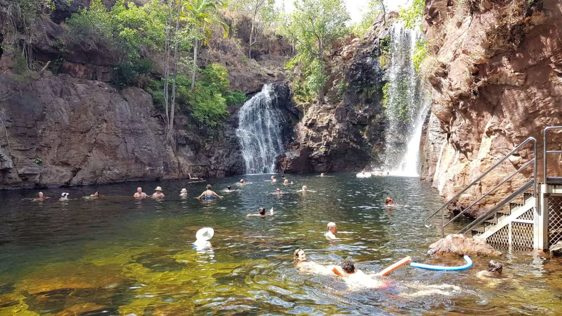
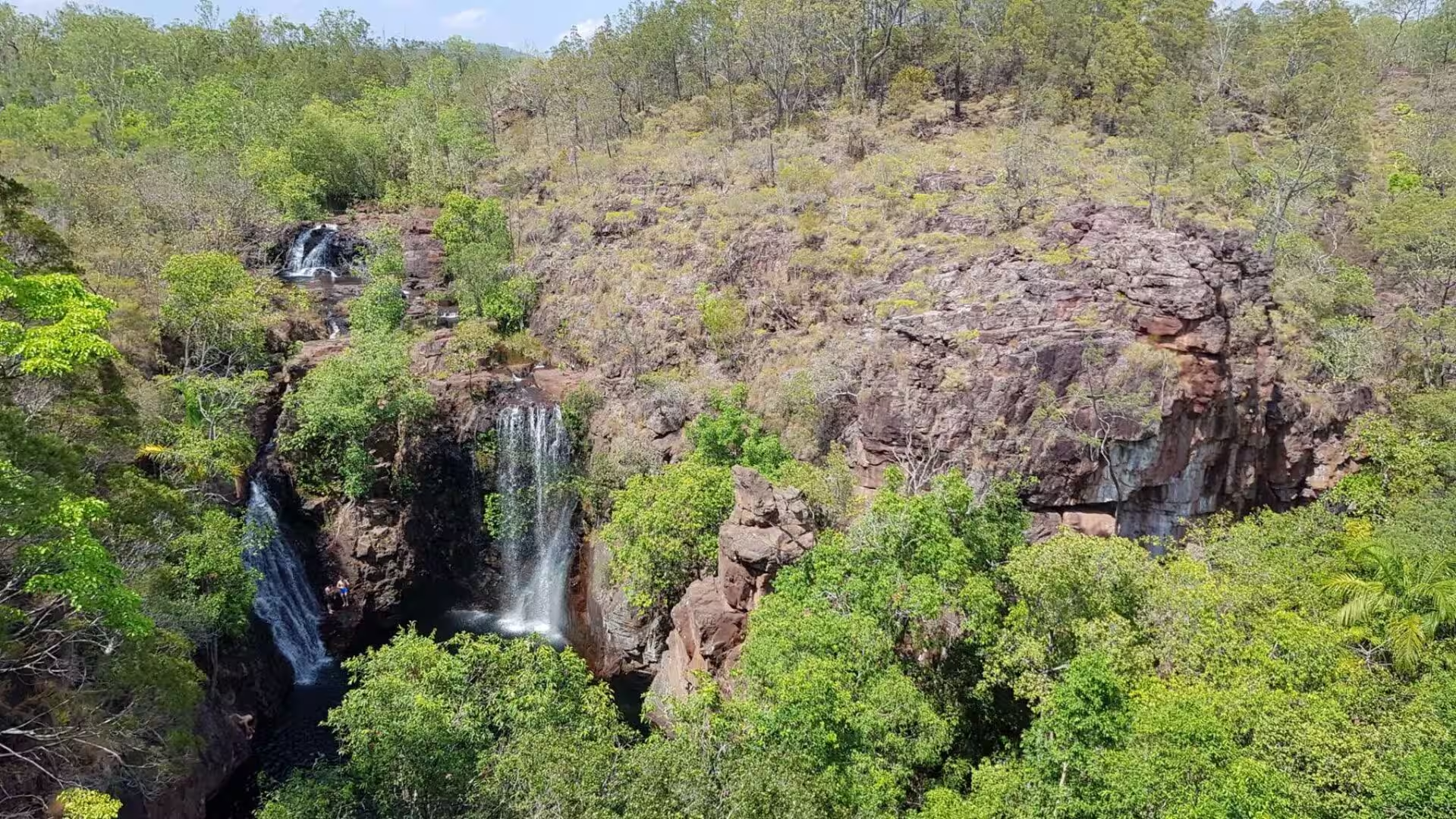
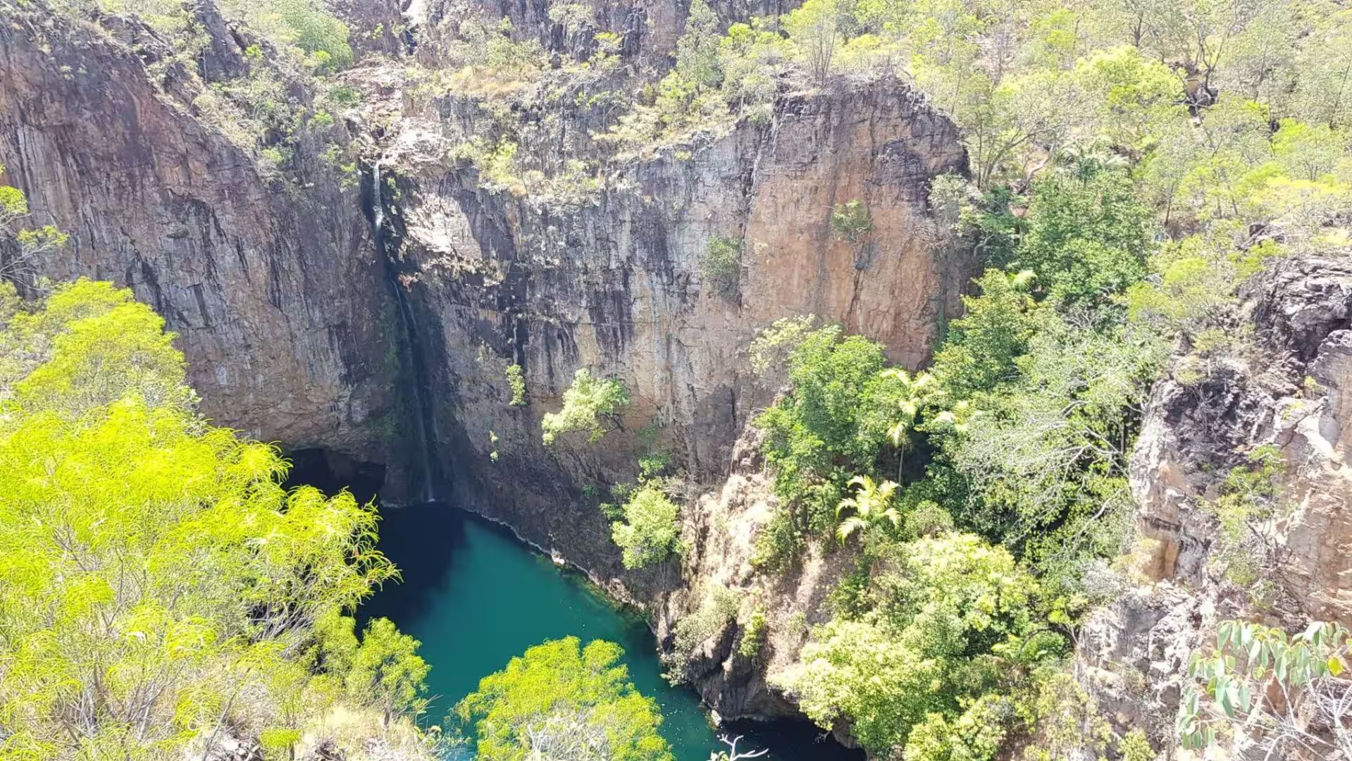
The escarpment is a water machine. Rain that falls on the plateau in the wet season sinks into the sandstone and drains slowly through it, so that the creeks below the rim continue to run through the dry months. Florence Falls drops in two stages into a wide plunge pool, Buley Rockhole is a long staircase of cascading pools, and Tolmer Falls pours over two escarpments into a deep gorge whose caves hold colonies of the rare ghost bat and the orange leaf-nosed bat. Wangi Falls, the best known of them, can be closed to swimming when the water is high, and the plateau above floods in the wet and dries out in the dry season.
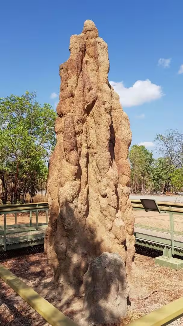
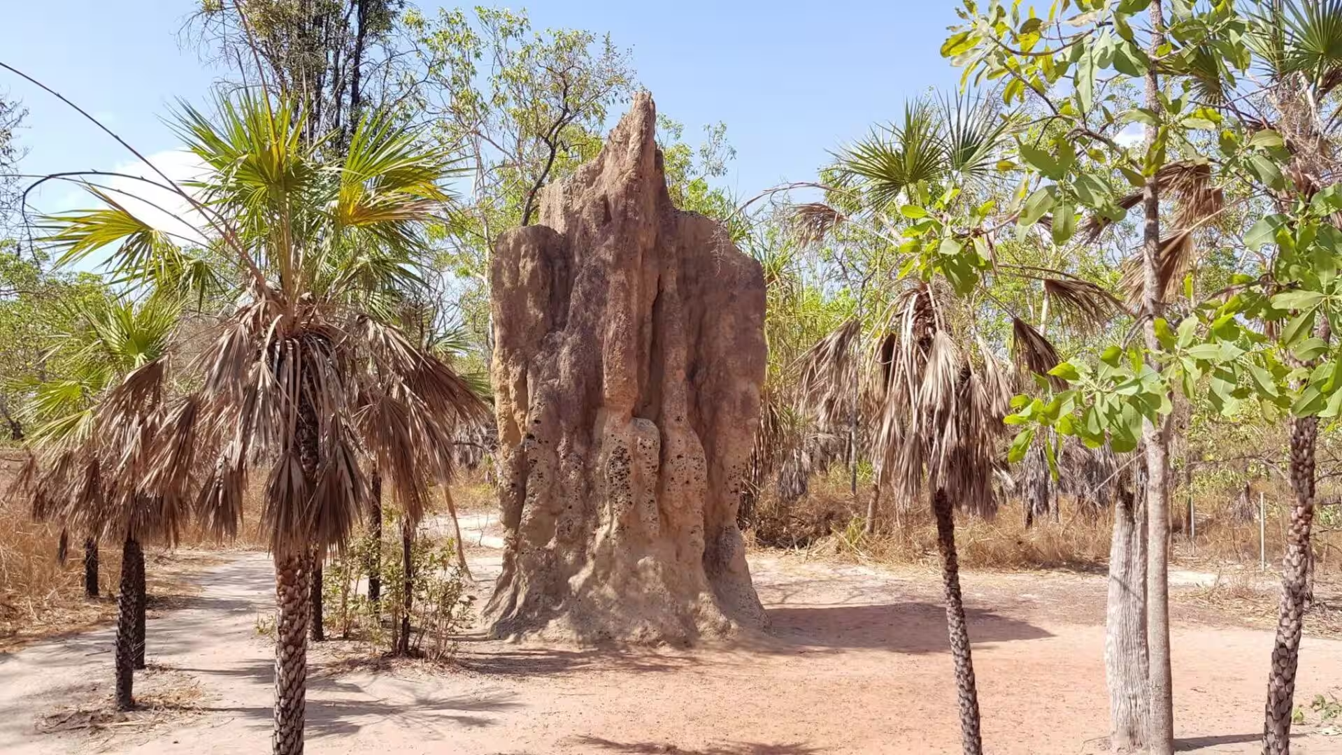
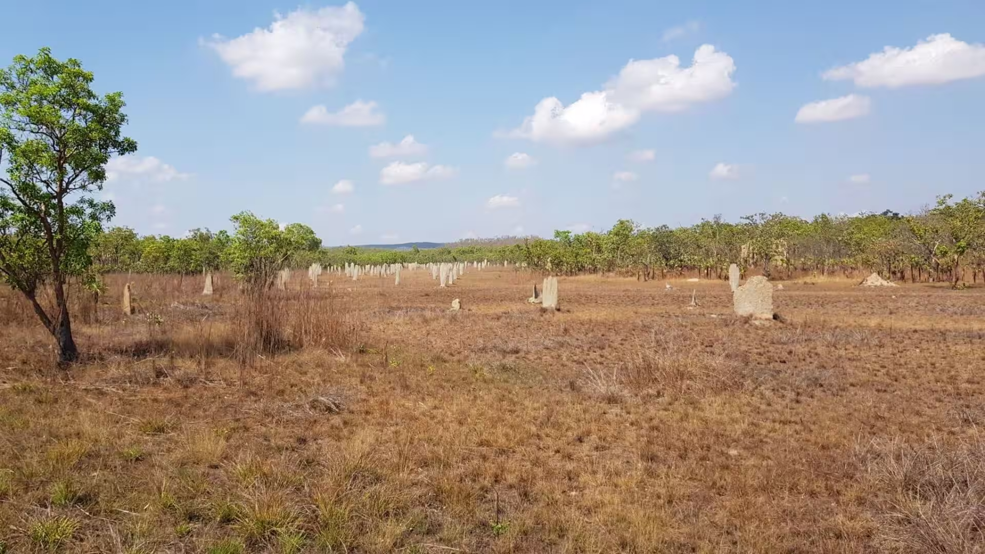
The most curious architecture of the park is built by insects. The magnetic termite, Amitermes meridionalis, lives only in the north of the Northern Territory and builds a wedge-shaped mound that stands with its thin edge to the north and its broad faces to the east and west. A large mound may be four metres high and house up to a million termites. The orientation is a thermostat: the broad faces catch the morning and evening sun while the narrow edge turns away from the midday heat, keeping the interior at a stable temperature and a high humidity. The mounds stand on grassland that floods in the wet season, so that the colony lives above the ground, feeding on stored hay when the water rises and on curing grass when the plain dries out.
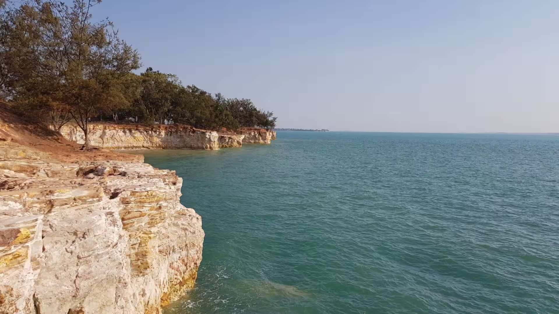
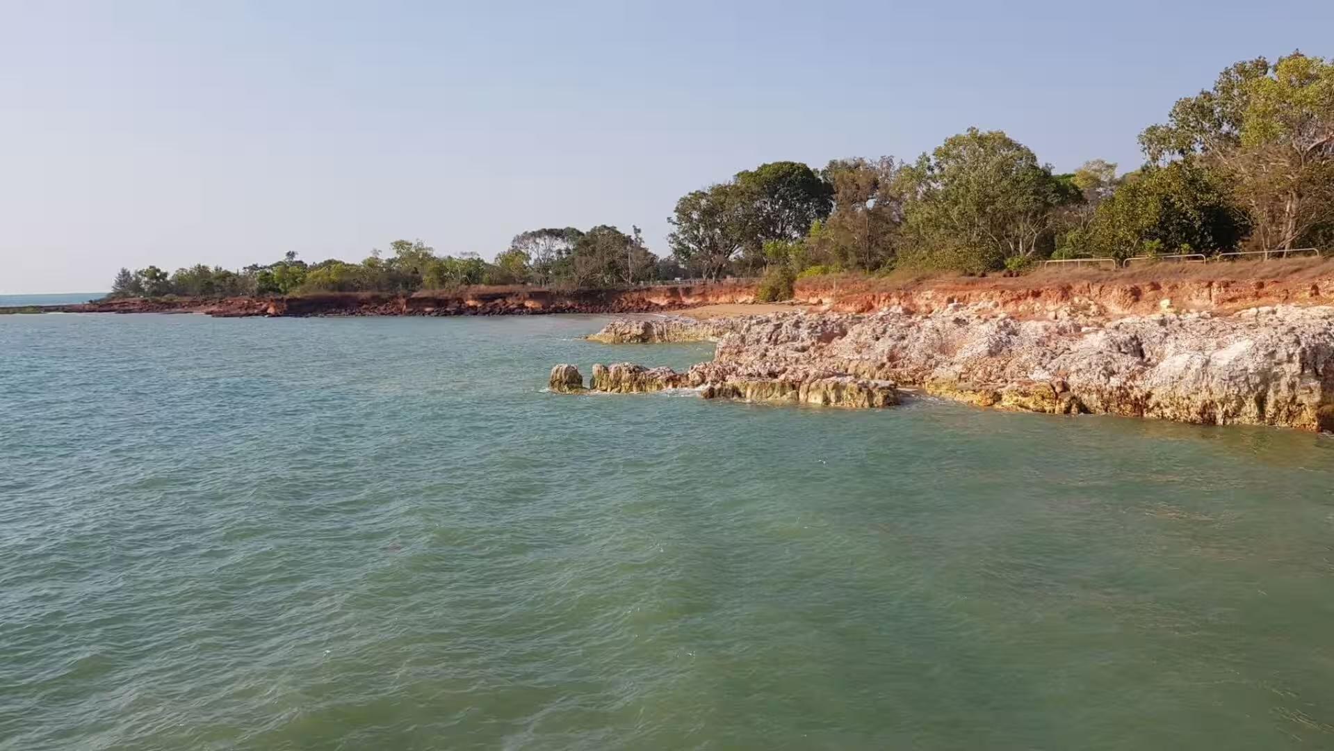
Darwin Harbour is a drowned valley as well, a macro-tidal estuary with a tidal range of up to 7.8 metres whose mangroves, mudflats and seagrass meadows support 415 species of fish, dugongs, green turtles and, in season, saltwater crocodiles. The coast is low and red, cliffs of clay cut back into headlands by the sea, and the weather that shapes it is monsoonal: the build-up of October and November, the thunderstorms and cyclones of the wet, and the dry south-east that keeps the sky clear from May to September. Darwin is one of the most lightning-prone places in Australia, with more than 5,000 cloud-to-ground strikes recorded within a sixty-kilometre radius in a single squall in January 2002.
Things to See
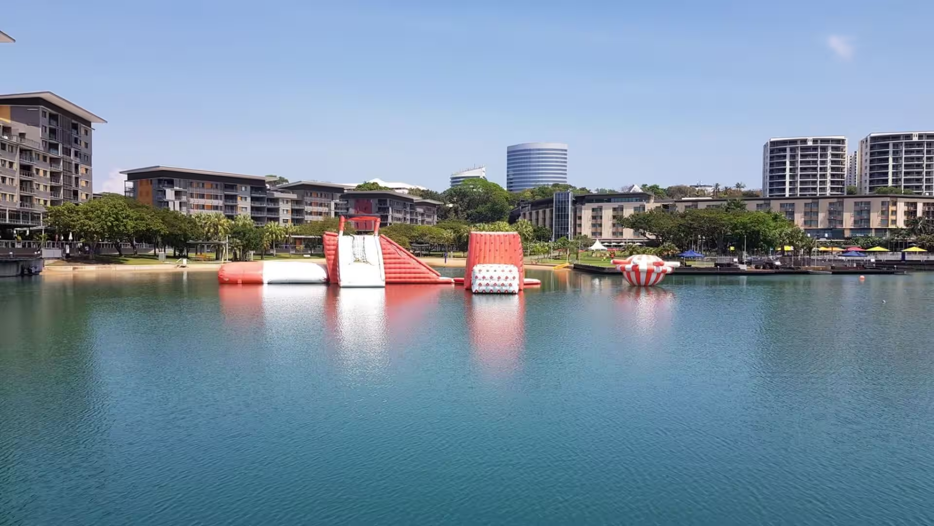
The Darwin Waterfront is the modern face of the city, a precinct built on land reclaimed from Kitchener Bay with a wave pool and a lagoon enclosed against the jellyfish and the crocodiles of the open sea, and the convention centre that opened in 2008 as part of a project worth more than a billion dollars. Inflatable obstacle courses are anchored on the lagoon, families swim in water that is netted and checked, and the wharves and the marina lie a few steps away. The museum and art gallery of the Northern Territory is a short walk away.
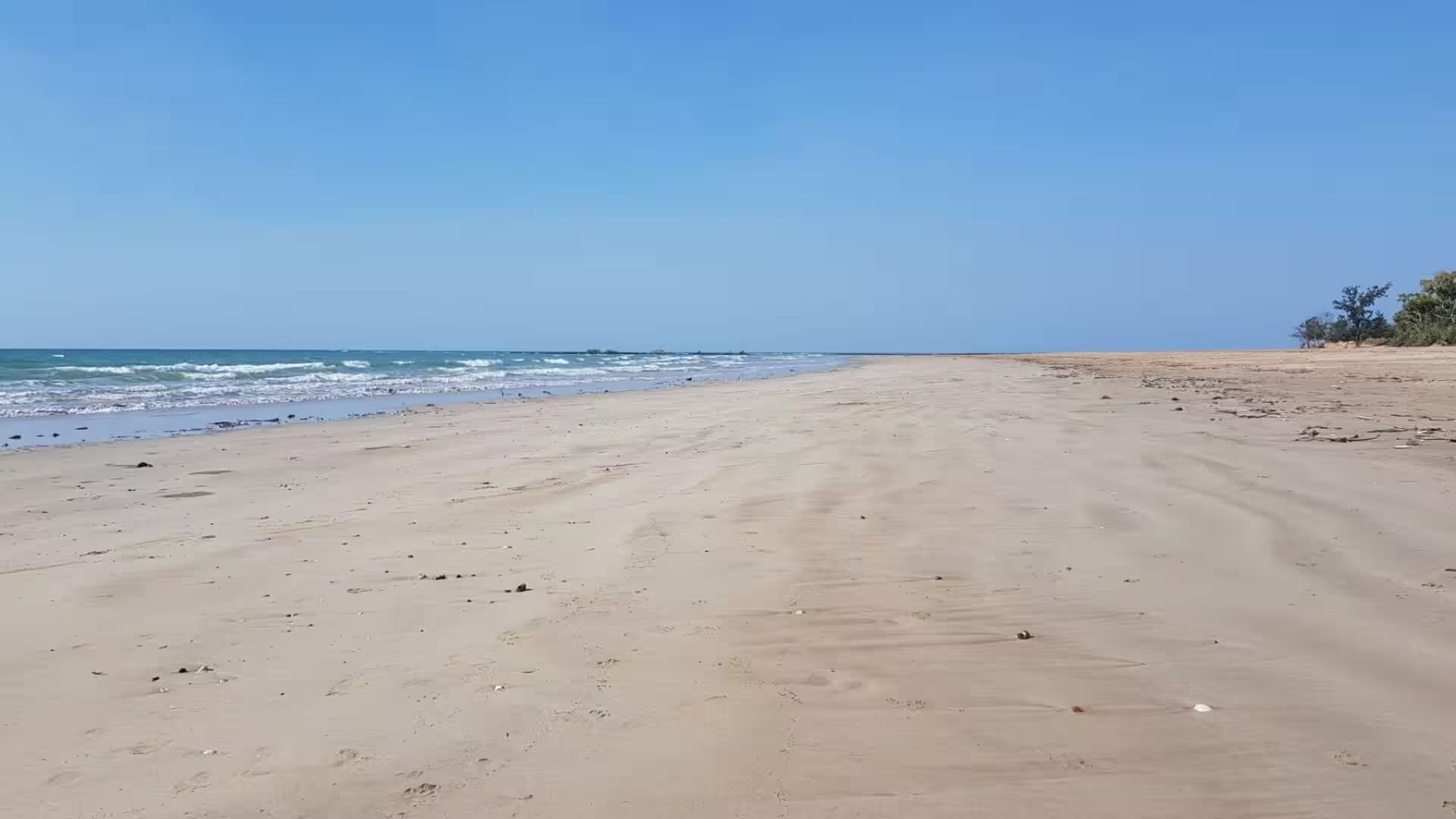
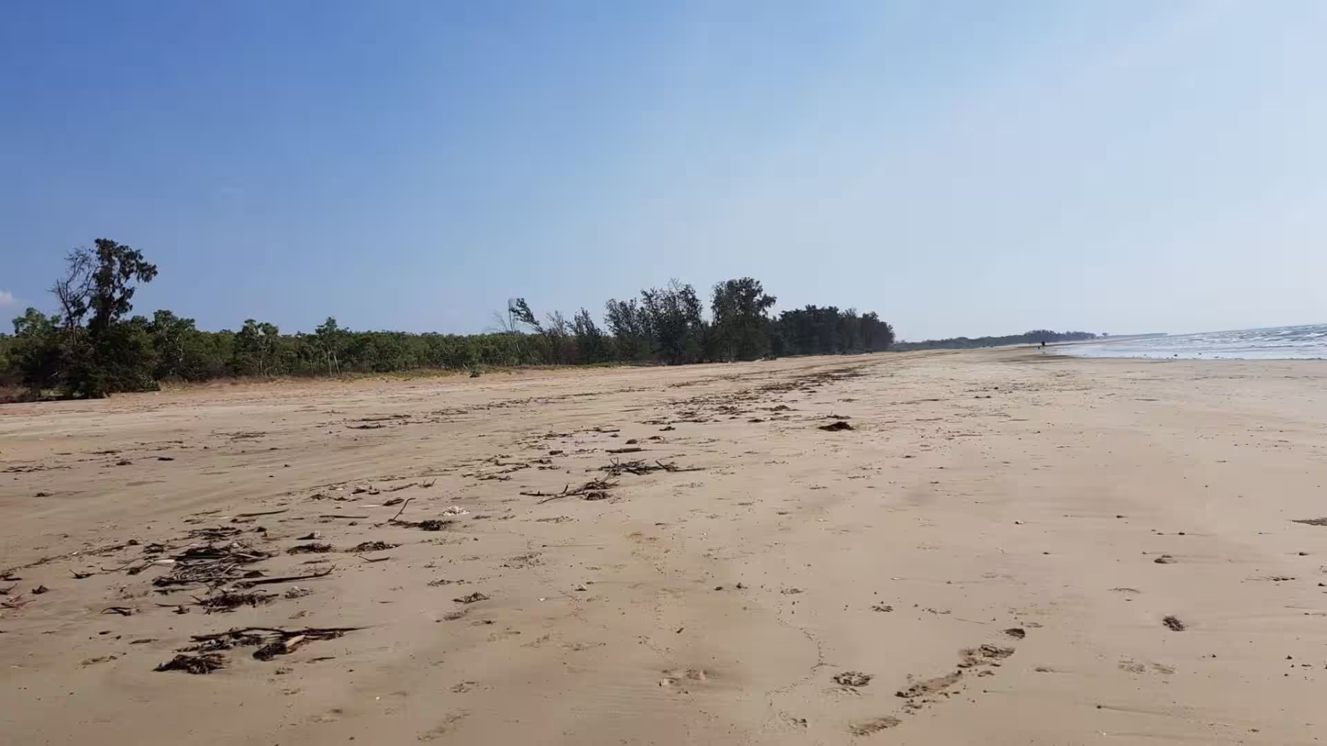
The beaches of Darwin are wide, pale and warm, and they are not always safe. Casuarina Beach and Buffalo Creek are backed by the Casuarina Coastal Reserve, 1,361 hectares of beach, mangroves and monsoon vine thicket between Rapid Creek and Buffalo Creek. Box jellyfish, known locally as stingers, are present in the sea from October to May, and saltwater crocodiles occur in all the waterways around the city and occasionally on the beaches themselves, so the government runs a trapping programme and most people swim in the lagoon at the waterfront or in Lake Alexander, the artificial lake in East Point Reserve.
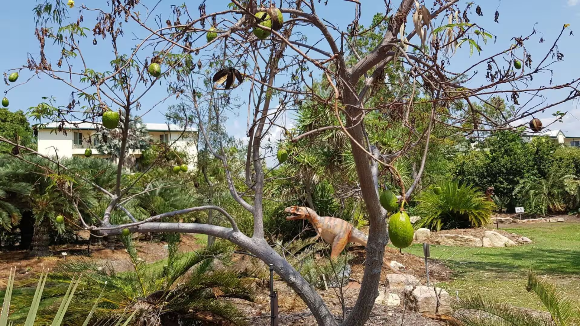
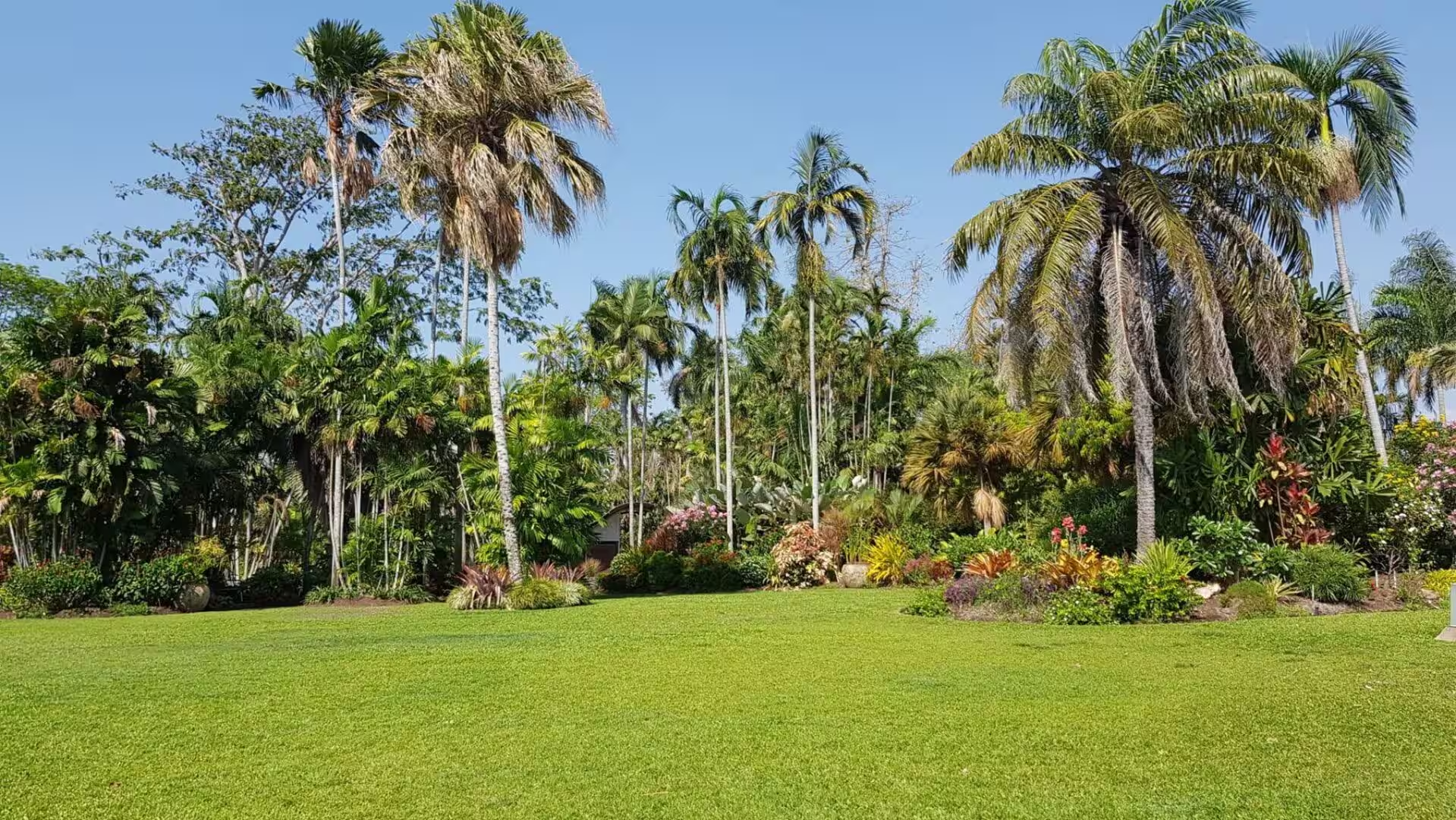
The George Brown Darwin Botanic Gardens lie two kilometres north of the central business district on a site occupied since 1886. Cyclone Tracy destroyed much of the collection in 1974, the restoration was led by the parks superintendent George Brown, and the gardens took his name in 2002. Their strength is the monsoon flora of northern Australia: mangroves, monsoon vine thicket, the wet forest of the Tiwi Islands and the plants of the Arnhem Land escarpment, with cycads, palms, baobabs and heliconias beside them. The cliff walk of the Nightcliff foreshore lies a few kilometres to the north.
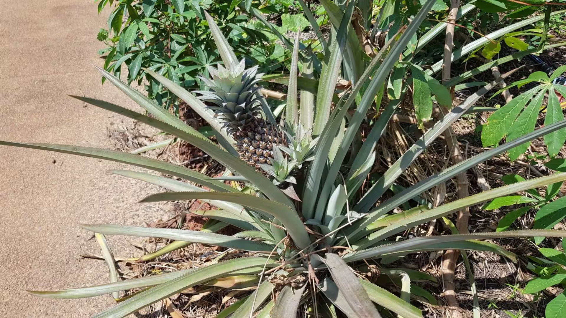
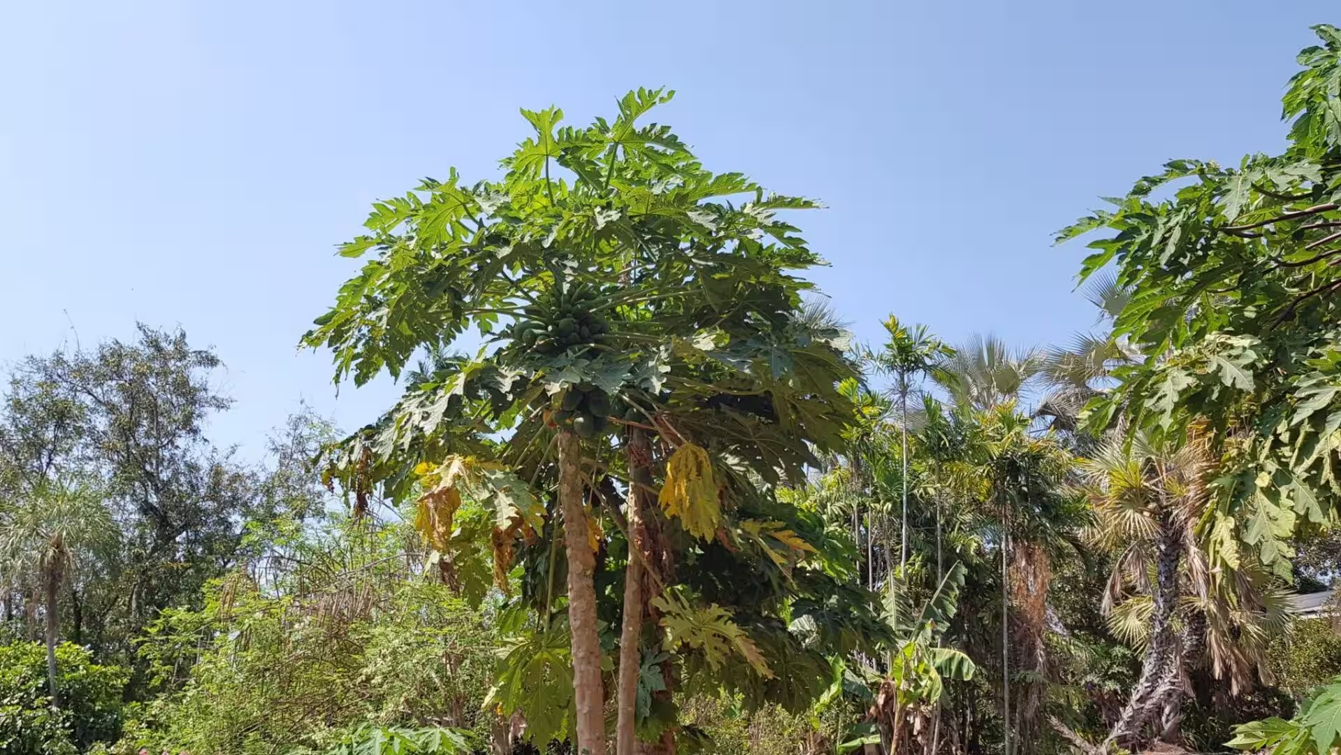
Markets are the social calendar of Darwin. The Mindil Beach Sunset Market, which began in the Darwin Mall in 1987, opens on Thursday and Sunday evenings from late April to late October with around 200 stalls, where the Asian and Greek communities of the city cook for everyone else. Parap Market, the Nightcliff Market and the Rapid Creek market fill the other days of the week, and the fruit stands beside the highway sell mangoes, pineapples and papayas grown within a short drive of the city. Laksa is the dish to order, and Territory Day on 1 July is celebrated on the sand at Mindil Beach.
Litchfield National Park is reached from Darwin in under two hours on a sealed road through Batchelor. The first stop for most visitors is the field of magnetic termite mounds, reached by a boardwalk that keeps people off the fragile plain, followed by the larger cathedral mounds of the surrounding woodland, which rise like pillars out of the grass. The contrast between the thin slabs of the magnetic mounds and the towering cones a few hundred metres away is the clearest lesson in adaptation that the park has to offer.
The waterfalls of the plateau are the other reason to come. Wangi Falls is the most visited of them and remains open all year, though swimming depends on the water level. Florence Falls is a double fall into a deep swimming hole with steps down to the water. Buley Rockhole is not a fall at all but a staircase of small pools, each one cool and clear. Tolmer Falls is the most dramatic, a column of water dropping from the escarpment into a gorge that is closed to the public to protect the bat colonies below the rim, and Tjaetaba Falls is a sacred site of the traditional owners, where visitors are asked to swim only above the fall.
The Tabletop Track is the long walk of the park, thirty-nine kilometres through creek lines, rainforest and open woodland with camping along the way. The Florence Creek Walk runs twenty-two kilometres through monsoon rainforest between Greenant Creek and Florence Falls and is graded difficult; the Greenant Creek Walk, at eight and a half kilometres, passes Carpentaria palms, fig trees and weeping paperbark. On the lowlands the buildings of the old pastoral and mining country are preserved: Blyth Homestead, a single room of cypress pine and corrugated iron built in 1928, with stockyards of bush timber and barbed wire, and the workings, mill and domestic remains of the Bamboo Creek tin mine.
The road south from Darwin is the Stuart Highway, 2,720 kilometres of sealed road to Port Augusta in South Australia, named after the explorer John McDouall Stuart, who was the first European to cross the continent from south to north. Drivers see the distances to Katherine and Alice Springs on the signboards north of the city: Katherine, 320 kilometres away on the Katherine River, is the fourth largest settlement in the Territory, the place where the outback meets the tropics and the gateway to Nitmiluk National Park. Fuel and water are available at intervals of about 200 kilometres, and the oldest advice of the Territory still holds: carry more water than you think you need, tell someone you are going, and take the wet season seriously.
References
- Wikipedia contributors (2026). Northern Territory. en.wikipedia.org/wiki/Northern_Territory
- Wikipedia contributors (2026). Darwin, Northern Territory. en.wikipedia.org/wiki/Darwin%2C_Northern_Territory
- Wikipedia contributors (2026). Litchfield National Park. en.wikipedia.org/wiki/Litchfield_National_Park
- Wikipedia contributors (2026). Magnetic termite. en.wikipedia.org/wiki/Magnetic_termite
- Wikipedia contributors (2026). Darwin Harbour. en.wikipedia.org/wiki/Darwin_Harbour
- Wikipedia contributors (2026). Top End. en.wikipedia.org/wiki/Top_End
- Wikipedia contributors (2026). Stuart Highway. en.wikipedia.org/wiki/Stuart_Highway
- Wikipedia contributors (2026). Katherine, Northern Territory. en.wikipedia.org/wiki/Katherine%2C_Northern_Territory
- Wikipedia contributors (2026). Alice Springs. en.wikipedia.org/wiki/Alice_Springs
- Wikipedia contributors (2026). Cyclone Tracy. en.wikipedia.org/wiki/Cyclone_Tracy
- Wikipedia contributors (2026). Bombing of Darwin. en.wikipedia.org/wiki/Bombing_of_Darwin
- Wikipedia contributors (2026). Larrakia people. en.wikipedia.org/wiki/Larrakia_people
- Wikipedia contributors (2026). George Brown Darwin Botanic Gardens. en.wikipedia.org/wiki/George_Brown_Darwin_Botanic_Gardens
- Wikipedia contributors (2026). Mindil Beach. en.wikipedia.org/wiki/Mindil_Beach
- Wikipedia contributors (2026). Nightcliff, Northern Territory. en.wikipedia.org/wiki/Nightcliff%2C_Northern_Territory
- Wikipedia contributors (2026). Casuarina Coastal Reserve. en.wikipedia.org/wiki/Casuarina_Coastal_Reserve
- Wikipedia contributors (2026). Darwin Waterfront Precinct. en.wikipedia.org/wiki/Darwin_Waterfront_Precinct
- Wikipedia contributors (2026). Overland Telegraph Line. en.wikipedia.org/wiki/Overland_Telegraph_Line
- Wikipedia contributors (2026). Laksa. en.wikipedia.org/wiki/Laksa
- Wikipedia contributors (2026). Kakadu National Park. en.wikipedia.org/wiki/Kakadu_National_Park
- Jacklyn P.M. (1992) ?Magnetic? termite mound surfaces are oriented to suit wind and shade conditions. Oecologia. 91. 385-395. doi.org/10.1007/bf00317628
- Andutta F.P., Wang X.H., Li L., Williams D. (2013) Hydrodynamics and Sediment Transport in a Macro-tidal Estuary: Darwin Harbour, Australia. Estuaries of the World. 111-129. doi.org/10.1007/978-94-007-7019-5_7
- Burford M., Alongi D., McKinnon A., Trott L. (2008) Primary production and nutrients in a tropical macrotidal estuary, Darwin Harbour, Australia. Estuarine, Coastal and Shelf Science. 79. 440-448. doi.org/10.1016/j.ecss.2008.04.018
- Worden K., Carson C., Scrimgeour I., Lally J., et al. (2006) New SHRIMP U-Pb zircon geochronology for the central Pine Creek Orogen, Northern Territory: implications for Top End orogenesis. ASEG Extended Abstracts. 2006. 1-4. doi.org/10.1071/aseg2006ab199
- Powell A. (2012) The air raids on Darwin, 19 February 1942. Australia 1942. 140-156. doi.org/10.1017/cbo9781139540681.013
- Walters K. (1978) THE RECONSTRUCTION OF DARWIN AFTER CYCLONE TRACY. Disasters. 2. 59-68. doi.org/10.1111/j.1467-7717.1978.tb00066.x
- Eamus D., O’Grady A.P., Hutley L. (2000) Dry season conditions determine wet season water use in the wet-tropical savannas of northern Australia. Tree Physiology. 20. 1219-1226. doi.org/10.1093/treephys/20.18.1219
- Sharmila S., Hendon H.H. (2020) Mechanisms of multiyear variations of Northern Australia wet-season rainfall. Scientific Reports. 10. doi.org/10.1038/s41598-020-61482-5
- Russell-Smith J., Whitehead P.J. (2015) Reimagining fire management in fire-prone northern Australia. Carbon Accounting and Savanna Fire Management. 1-22. doi.org/10.1071/9780643108523.ch01
- Collins T. (1985) The Box Jellyfish (Chironex fleckeri). Castlemaine Naturalist. 10. 5-6. doi.org/10.5962/p.399491
- UNESCO World Heritage Centre. Kakadu National Park. whc.unesco.org/en/list/147
- Bureau of Meteorology. Climate statistics for Australian locations: Darwin Airport. www.bom.gov.au/climate/averages/tables/cw_014015.shtml
- Museum and Art Gallery of the Northern Territory. Collections and exhibitions. www.magnt.net.au/