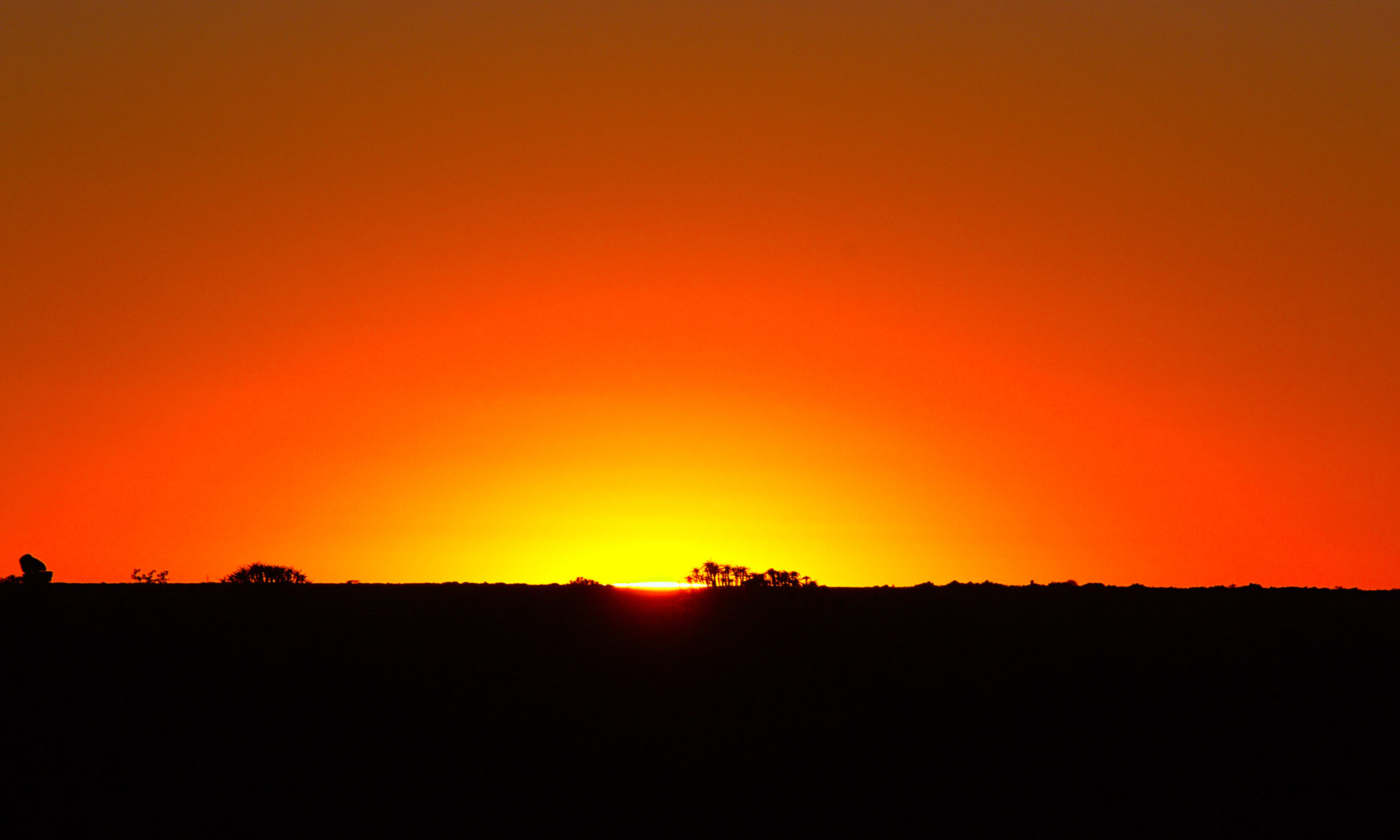
After spending a night in the strange place with its strange surroundings Ridgecrest, we now continued towards Death Valley. Once again, I had completely underestimated the distance – in the end, there were still a few hundred kilometers to go.
So we drove north out of Ridgecrest through a nearby strange desert town and finally just through the desert in the parallel valley to Death Valley. On the way there were also two ghost towns to visit, but they were not really ghost towns. We ended the day finally in the campground directly in the center of Death Valley.
We had left the campground at Yosemite National Park early because the next day was going to be colder and also rainier. So the park made no sense at all, especially after we had seen that the pass was closed. So we drove back the way south over the Tehachapi Pass and then in the direction of Ridgecrest.
Actually, I wanted to go directly to Death Valley, but I had forgotten how big the distances are. So we made there in this city, which survives primarily only by the nearby military base a stay of one evening and visited among other things old original gold mining villages.
As planned, after the rather cold experience of the day before in Sequoia National Park, this time we drove to Yosemite National Parke a little further north. Since the distance was much greater this time, we also needed a new campsite at the same time. We looked for a campground at the edge of the mountains, whereby the place was already quite high, but was quite pleasant in the sun.
The next park on the trip was Sequoia National Park in California with some of the largest trees in the world. Unfortunately, the temperatures were very low all the time, so there was still snow in the park and it was quite cold.
However, the advantage was also that there were not so many visitors. Overall, we were able to look quite comfortable all the attractions without too much stress, which would probably not have been possible in the summer by the many visitors.
After our rather ambivalent experience with the extremely cold weather in California, we finally drove on towards our second National Park further north through the Mojave Desert, over Tehachapi Pass into the central valley towards Sequoia National Park. H
ere we deliberately looked for a campsite in the central valley and not in the park, because it was at this time incredibly cold. We had even there at night only 3°C, but during the day best weather.
The Central Valley of California is a vast and productive agricultural region located in the heart of the state. Spanning approximately 450 miles from north to south, the valley is bordered by the Sierra Nevada mountain range to the east and the Coast Ranges to the west. The valley is home to a diverse array of crops, including fruits, vegetables, nuts, and grains, and is one of the most productive agricultural regions in the world.
One of the key features of the Central Valley is its Mediterranean climate, which is characterized by mild, wet winters and hot, dry summers. This climate, along with the fertile soil and abundant water resources, makes the valley an ideal location for growing a wide variety of crops.
The Central Valley is divided into two regions: the northern and southern parts. The northern region is known for its production of fruits, including peaches, plums, nectarines, and cherries, as well as almonds, walnuts, and pistachios. The southern region, on the other hand, is known for its production of vegetables, including tomatoes, lettuce, and broccoli.
In addition to its agricultural productivity, the Central Valley is also home to a large and diverse population. The valley is home to a number of major cities, including Sacramento, the state capital, as well as Fresno, Bakersfield, and Modesto. These cities, along with many smaller towns and communities, provide a range of services and amenities for the region’s residents and visitors.
After a rather uncomfortable evening in the freezing storm by the fire in Joshua Tree National Park, we finally decided to give up and find a hotel in Twentynine Palms. From there we started again in the early morning in the park with icy temperatures, but this time less wind to a hike of about 10 km through the park in later best weather.
After our short stay in Phoenix, we drove on to California to Joshua Tree National Park. On purpose we didn’t drive the highway, but the more or less parallel route to it through the desert. The weather was ideal for now and the area anyway.
This is the first video of an extensive trip through the USA in April 2022. Here we are near Phoenix / Arizona in the White Tank Regional Park on the second day some hiking. Fortunately, it was not so extremely hot, but still already borderline by the solar radiation. This hike went then also only about 8 km through some hills and the typical cactus landscape of the region.