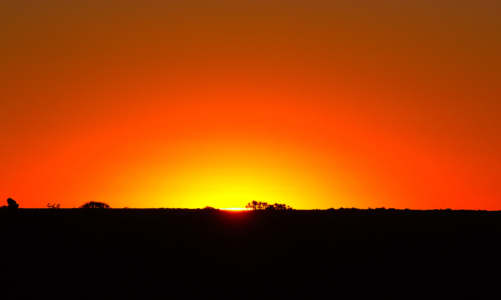
Finally, I was able to continue north after the cyclone. The choice of the destination was not easy at all, because at first it was completely unclear how the situation is in the north. There has been the greatest damage. So I made some calls to find out that some destinations were not reachable at all and were advised against a trip. There were floods and landslides, power outages and more. Whangarei, however, was accessible and so I booked an overnight stay there and tried to get to the north via Auckland.
Around New Plymouth in New Zealand
The cyclone was now over and had cost me three days of my tight time budget. So I had to spend three days in New Plymouth without the possibility to go on Mount Taranaki. In the end I was not completely locked in and could do some sightseeing a bit outside. But the roads were already empty and partly not passable. The worst problems were falling branches on roads.
Hiking at Mount Taranaki in New Zealand
The cyclone was approaching and the effects were already clearly felt. The sky was overcast and at times it rained a little. The weather forecast did not predict completely catastrophic weather for the day, but at altitude it is a bit completely different. Wind speeds of over 150 km/h were predicted for the summit and that should be taken seriously. But of necessity I drove to the mountain and wanted to look around at least a little until it got worse. The cyclone should come only from night and the next day fully to the effect. In addition, no one knew where he now really pulls.
Himatangi Beach to New Plymouth in New Zealand
After learning about the arrival of the cyclone, I still wanted to go in the direction of Mount Teranaki, actually with the plan of an ascent. That this would become nothing more was actually completely clear. So I drove again in the direction of Lake Taupo, until I learned during my lunch break of the Forgotten World Highway, which would lead directly to Mount Teranaki. For me, of course, it was clear to drive this road.
Gisborne to Himatangi Beach in New Zealand
After the excellent tour from Rotorua to Gisborne I had a quite cozy and relatively cheap accommodation at a campsite in a hut in Gisborne. Due to my still existing jetlag I could get up quite early again and continue my trip. The choice this time was to drive further south, or rather to drive west. I decided for the direction west, because in the end not so many choices existed regarding the roads and drove in the direction of Himatangi Beach to the west coast. In between I made a stop in Napier on the east coast.
Driving Along the East Coast of New Zealand
I was now able to go on a bit more of an excursion and left Rotorua for a round trip on the North Island. My first goal was to drive east to the sea and then follow the road south along the sea. My final stop for the day was then Gisborne.
Driving Around Lake Taupo
This time the round trip went to the southwest of Rotorua. There lies a completely different looking landscape than on the eastern coast, with high mountains of volcanoes and centrally Lake Taupo, which ultimately also forms the caldera of a supervolcano. So I drove from Rotorua towards Taupo, around it and finally also around Mt Ruapehu, the highest mountain of the North Island and back to Rotorua.
New Zealand – Rotorua, Mt Maunganui & Okere Falls
Another day in Rotorua in New Zealand. This time I had a little more time and decided to drive a little further towards the Bay of Plenty in addition to the local free hot springs. At the large northern Bay of Plenty is the not to be overlooked Mount Maunganui, which first looks quite high from below, but ultimately can be climbed quite quickly. From the top, the view was extremely good and also the weather played along this time. On the way back I passed the Okere Falls. These can also be visited free of charge, so I paid them a visit shortly before sunset.
