2016 Liechtenstein









Journal Notes
General
Liechtenstein is a doubly landlocked country in the Central European Alps, tucked between Austria to the east and north east and Switzerland to the west and south. It is the smallest country in the world to border exactly two countries, and one of only two states on earth that are wholly surrounded by other landlocked states, the other being Uzbekistan. The whole territory is about twenty four kilometres long, just over 160 square kilometres in area with a border of seventy eight kilometres, and it holds rather fewer than forty two thousand people. It is the fourth smallest country in Europe, and small enough that a traveller can stand on a mountain ridge and see all of it at once.
The country is divided into eleven municipalities, five in the lower district of the Unterland, Eschen, Gamprin, Mauren, Ruggell and Schellenberg, and six in the upper district of the Oberland, Balzers, Planken, Schaan, Triesen, Triesenberg and Vaduz. The capital is Vaduz, the largest municipality is Schaan. About half of the territory is mountainous and the official language is German, and the climate is wetter than the size of the country suggests, with precipitation reaching 1,900 millimetres a year on the slopes.
Liechtenstein is not a member of the European Union, but it belongs to the European Economic Area and to Schengen, and to the European Free Trade Association since 1991. It is in a customs union with Switzerland and uses the Swiss franc, and it imports more than eighty five per cent of its energy. The economy rests on industry, on financial services and on a small agricultural sector.
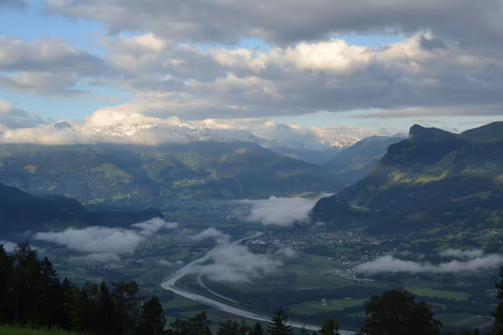
This account covers a week that never went more than a few dozen kilometres from its base. It began with the Rhine valley seen from the air, a broad green floor with a winding river, cloud against the slopes and snow on the peaks, and it went up into the mountains, across the borders on both sides and back down again. In a country this size the distances are trivial and the contrasts are not: a pasture with a single goat, a glacier-fed stream, a castle on a rock, a vine slope, and at the end of the week a modern city seen from a motorway.
History
The oldest traces of human presence in the area go back to the Middle Palaeolithic, and farming settlements appear in the valleys around 5300 BC. The Hallstatt and La Tène cultures flourished here from about 450 BC, and the Alpine Rhine valley was later occupied by the Vennones. By 15 BC Tiberius and his brother Drusus had conquered the whole Alpine region, and the land became part of the province of Raetia.
Roman rule was followed by the Alemanni, who destroyed Bregenz around 260 AD and settled the region. In about 1300 another Alemannic people, the Walsers, came from the Valais and settled in the mountains, and the village of Triesenberg still preserves features of the Walser dialect. The medieval County of Vaduz was formed in 1342 as a subdivision of the county of Werdenberg, and in 1396 it gained imperial immediacy, placing it directly under the Emperor.
The House of Liechtenstein, which gave the country its name, held wide lands in Austria, Bohemia and Moravia, but none of them directly from the Emperor, and the family was therefore barred from the Imperial Diet and from the influence of a seat there. The solution was to buy territory that was directly subordinate to the Emperor. Prince Johann Adam Andreas bought the Lordship of Schellenberg in 1699 and the County of Vaduz in 1712, and on 23 January 1719 the Emperor Charles VI decreed that the two counties be promoted to a principality under the name Liechtenstein for Anton Florian of Liechtenstein. The country has carried the family name ever since.
For another century the principality was a remote possession and its princes did not visit it: Prince Aloys, in 1818, was the first member of the family to set foot in the country that bore their name, . In the same year 1818 Prince Johann I granted a limited constitution. When Napoleon founded the Confederation of the Rhine in 1806 the Prince of Liechtenstein became a member of it, and with that the state ceased to owe an obligation to any feudal lord beyond its borders. The confederation was dissolved in 1813, Liechtenstein joined the German Confederation in 1815, and in 1862 a new constitution established civil liberties and created the Landtag.
The end of that arrangement came in 1866, during the Austro-Prussian War, when Prince Johann II placed his soldiers at the disposal of the Confederation but only to defend the German territory of Tyrol. The contingent marched out and saw no fighting at all. In the same year the German Confederation was dissolved and Liechtenstein became fully independent. On 12 February 1868 the army was disbanded for financial reasons and the country declared its permanent neutrality.
Neutrality then shaped the twentieth century. Liechtenstein was closely tied to Austria-Hungary until the end of the First World War, and afterwards it turned towards Switzerland: the customs union with Austria was dissolved and the customs union with Switzerland, still in force, followed in 1923. Prince Franz Joseph II took over in 1938 and during the Second World War the country remained neutral. The monument at Hinterschellenberg in the municipality of Schellenberg commemorates the asylum given to Russian soldiers during that war. The years after 1945 were difficult: the family estates abroad, more than 1,600 square kilometres of farmland and forest, were expropriated and the principality found itself in financial straits.
Modern Liechtenstein grew out of those years. Hans-Adam II has reigned since 1989, and in 2004 he made his eldest son Alois regent, as his father had done with him in 1984. The country joined the United Nations in 1990, the European Free Trade Association in 1991 and the European Economic Area in 1995, and in March 2003 the constitution of 1921 was revised, confirming the unusually strong position of the prince in a system that mixes monarchy, representative democracy and direct democracy.
Geology
The Alps were formed in the Alpine orogeny, a phase of mountain building in the Late Mesozoic and the Cenozoic caused by the collision of Africa, Arabia, India and the Cimmerian plate with Eurasia. The main phases came in the Palaeocene and the Eocene, and marine sedimentary rocks laid down on the floor of an ocean that no longer exists were thrust up and folded into the peaks of the chain.
Liechtenstein lies entirely within the Rhaetikon, the part of the Alps that is assigned either to the Eastern Alps or, in the three part division, to the Central Alps. The Rätikon is the geological border between the Eastern and the Western Alps and runs from the Montafon to the Rhine, with the Prättigau to the south, the Walgau to the north and the Silvretta groups to the east. Large parts of it consist of limestone: the north western Rätikon belongs geologically to the Northern Limestone Alps, while the south west belongs to the Bündner schist of the Western Alps. The boundary has been mapped in detail since the nineteen sixties: the country sits on the suture.
About half the territory is mountainous and the country contains thirty two summits of at least two thousand metres. The highest is the Grauspitz at 2,599 metres, on the border with Switzerland between the Lawenatal above Triesen and the Fläscher Tal in Graubünden, and it is the highest summit of the Rätikon west of the Schesaplana massif, which reaches 2,964 metres further east. The southernmost point is the Falknishorn at 2,452 metres, and the border triangle with Graubünden and Vorarlberg is marked by the Naafkopf at 2,570 metres. The lowest point is the Ruggeller Riet in the north at 430 metres, a wetland on the floor of the valley.
Two isolated hills rise from the valley floor: the Fläscherberg at 1,135 metres in the south and the Eschnerberg at 698 metres in the north. Both belong to the Helvetic cover or flysch zone of the Alps. Flysch is a sequence of sedimentary layers that progresses from deep water turbidites to shallow water shales and sandstones, deposited when a deep basin forms rapidly on the continental side of a mountain building episode, and in the Eastern Alps it forms a zone of its own. The Eschnerberg is also one of the most important early settlement areas of the Unterland.
The valley that the country occupies is the bed of the Alpine Rhine. The river rises in the Swiss canton of Graubünden, forms the entire western border of Liechtenstein for about twenty seven kilometres, and continues as the Swiss border with Austria and Germany. In total it runs about 1,230 kilometres and drains 185,000 square kilometres, the second longest river of Central and Western Europe after the Danube. Its valley is also a machine for weather, known for the strength of its valley winds.
The river has been a danger as well. The flood of 1927 broke through with such erosive force that it created the Gampriner Seelein, the only naturally formed lake in the country, and in 1943 an inland canal was built parallel to the Rhine. Floods are a recurring problem, and the frequency of high water is studied in the region as a matter of practical engineering. Alongside the canal and the embankments there are reservoirs built to generate electricity, among them the Steg reservoir, the largest lake in Liechtenstein.
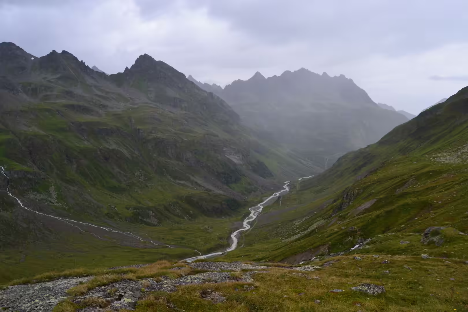
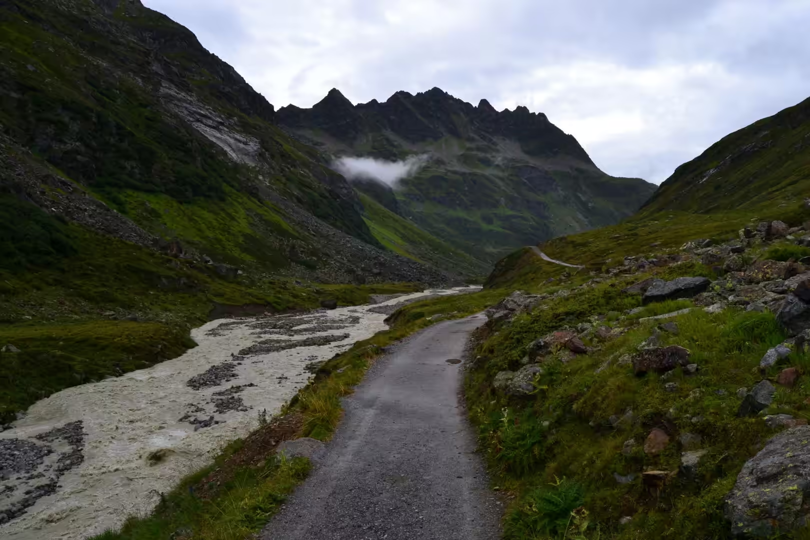
The mountains above the valley are a working landscape as much as a geological one. In the Alps the word alp does not mean a peak but a high pasture above the tree line, to which livestock is driven for the summer. Those pastures, the streams that cut through them and the debris pillars that form on their slopes when the ground is stripped and weathered, are the everyday geology of the Rätikon as a walker meets it: loose limestone, steep grass, milky water carrying rock flour from the glaciers above, and snow lying in the gullies into July.
Things to See
The Rhine valley is the spine of the country. From above, the floor is a green plain of meadows and fields with the river winding through it, slopes rising on both sides, low cloud caught against the trees and the snow covered peaks of the Alps in the distance. On the ground the same valley holds the towns, the roads, the vineyards, the industrial estates and the two bridges built to Switzerland in the eighteen eighties.
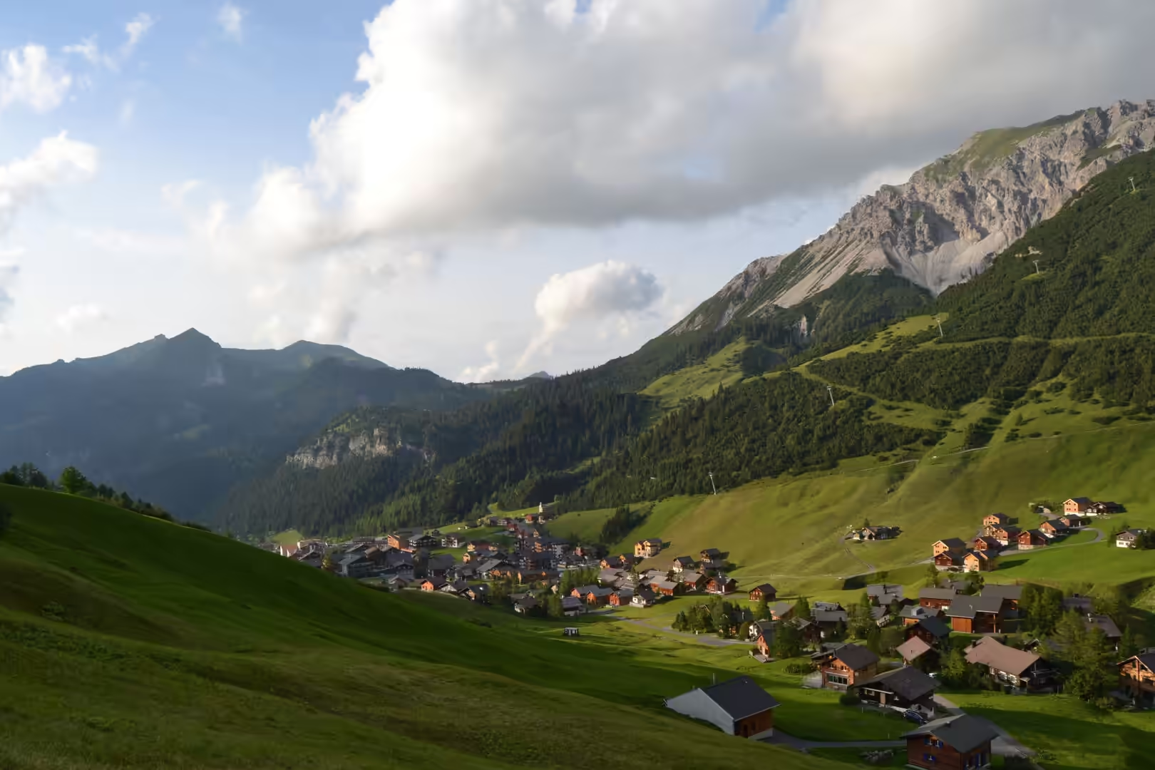
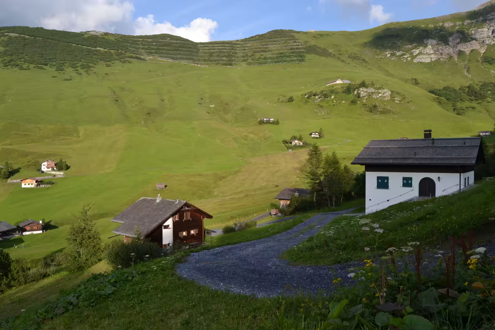
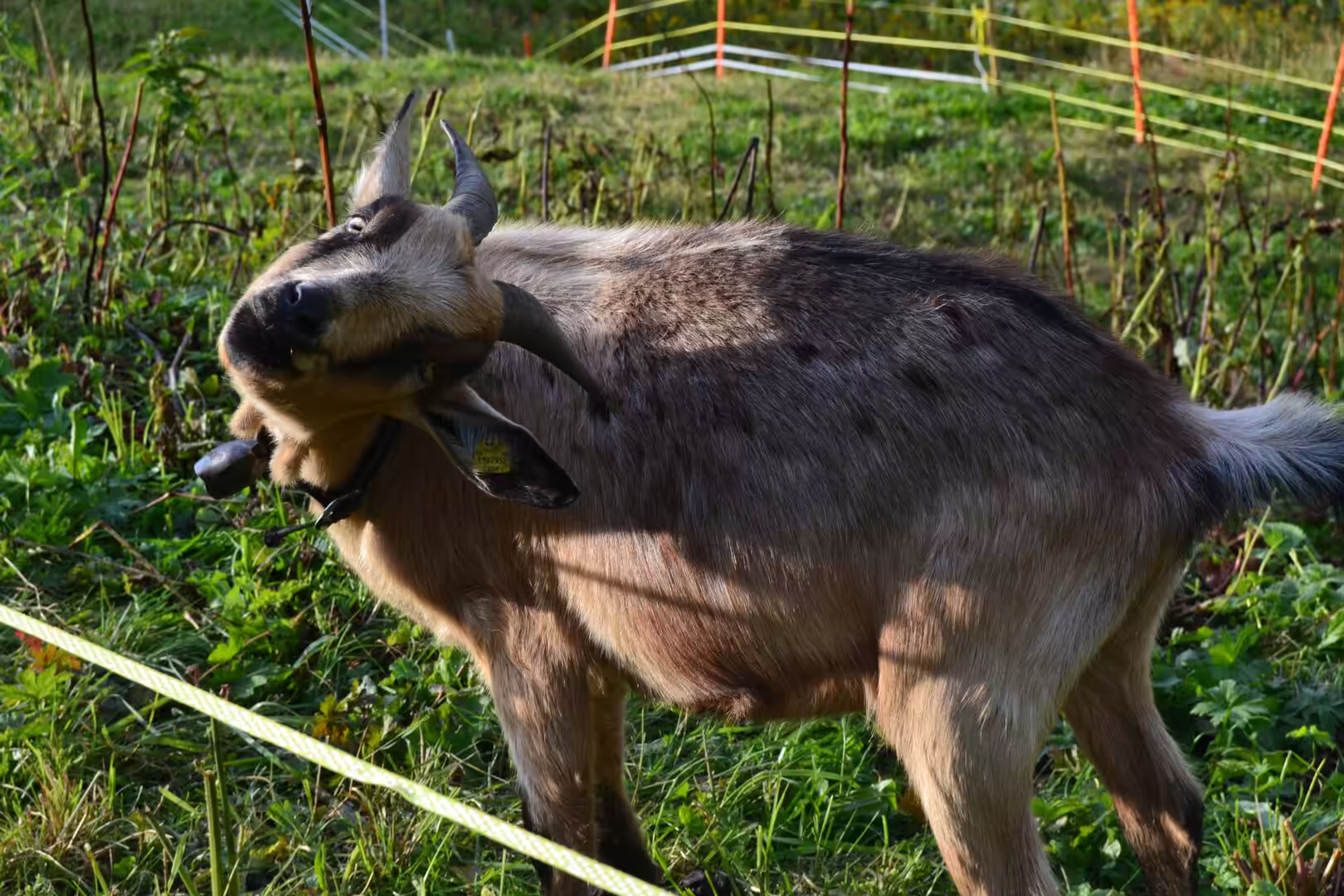
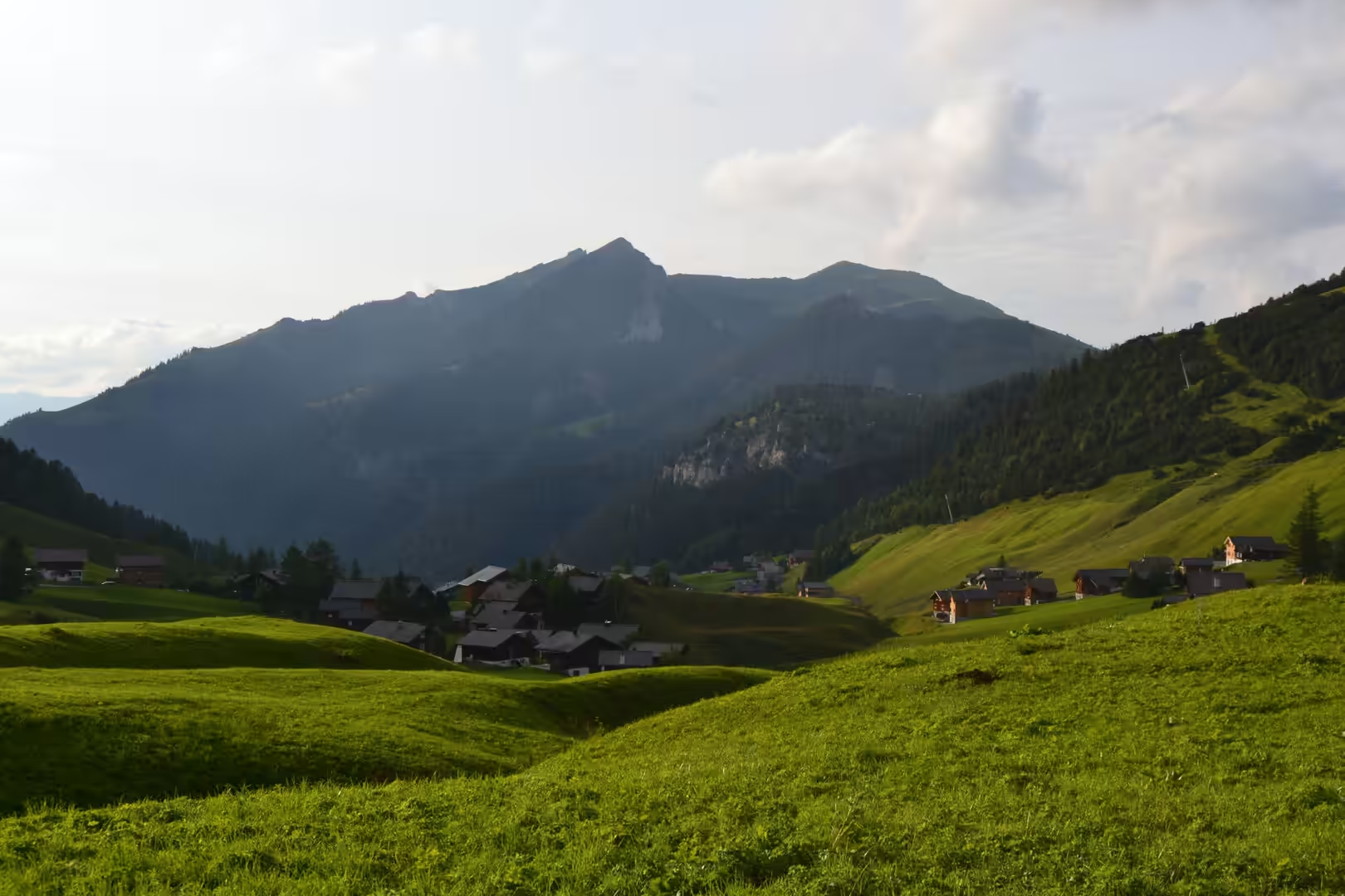
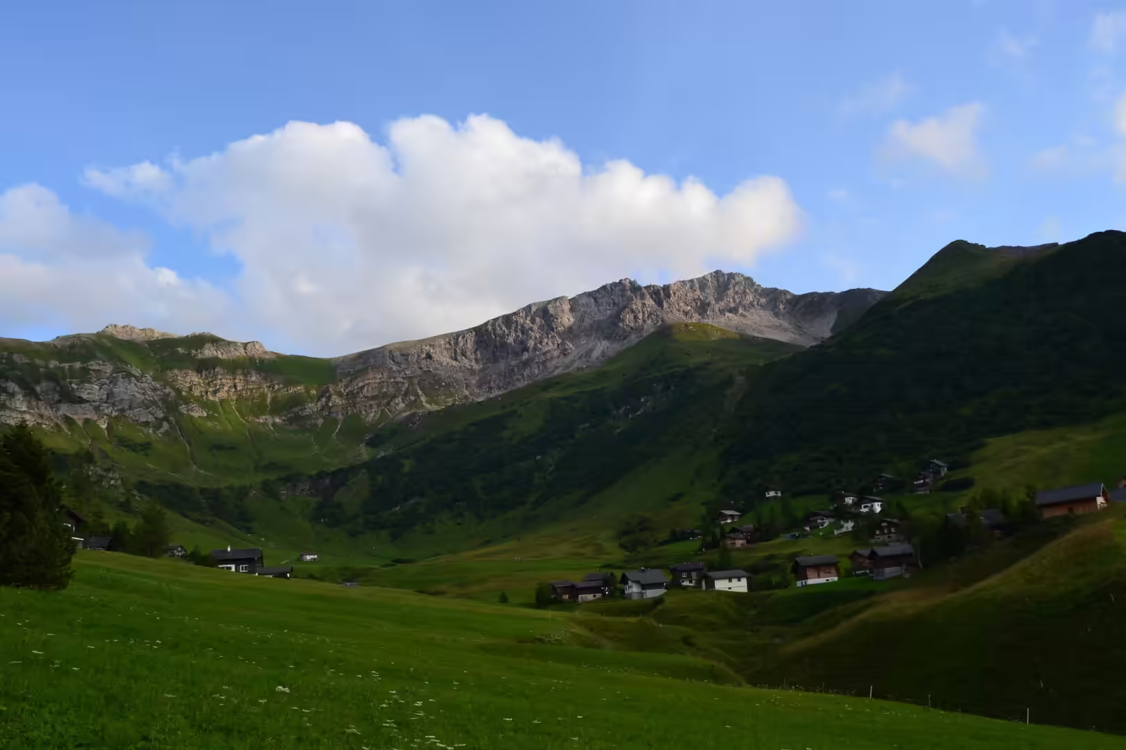
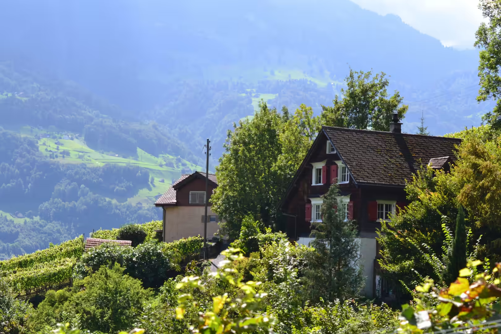
Above the valley the villages climb the slope. Triesenberg, the largest municipality in the country with 2,636 inhabitants and a centre between 884 and 1,000 metres, is a Walser village first mentioned in 1378 and still marked by that inheritance. Higher up, at 1,600 metres, sits Malbun, the only ski resort in Liechtenstein, an exclave of Triesenberg on the road to Steg and Vaduz and less than two kilometres from the Austrian border. Around both villages the pattern repeats: wooden chalets and white houses scattered across green slopes beneath rocky summits, a gravel path between them, and above the houses the pastures, where a goat in a collar and bell stands behind a tape fence in a field of grass.
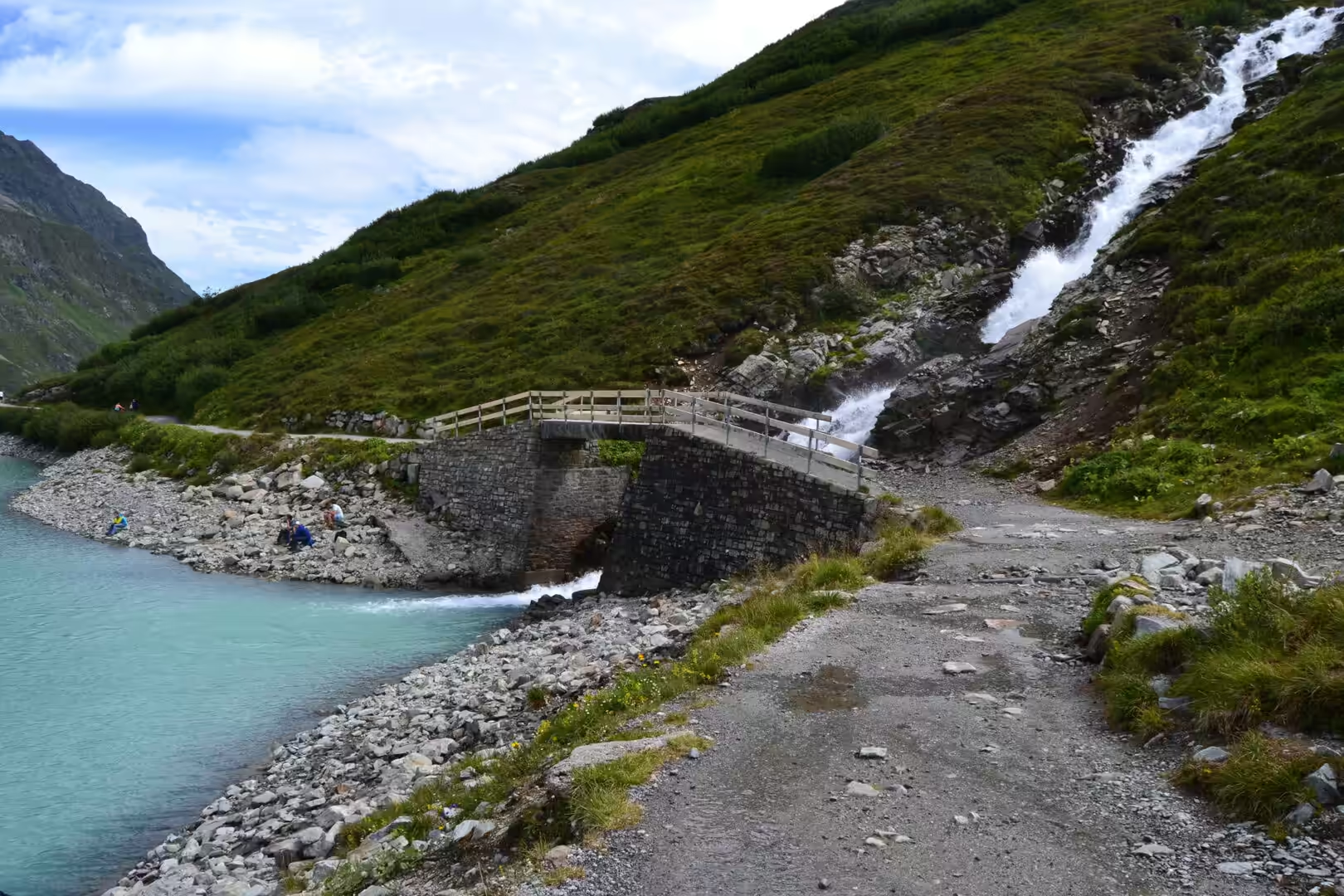
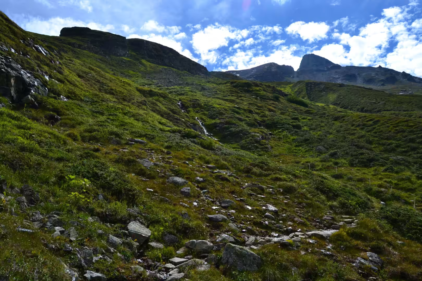
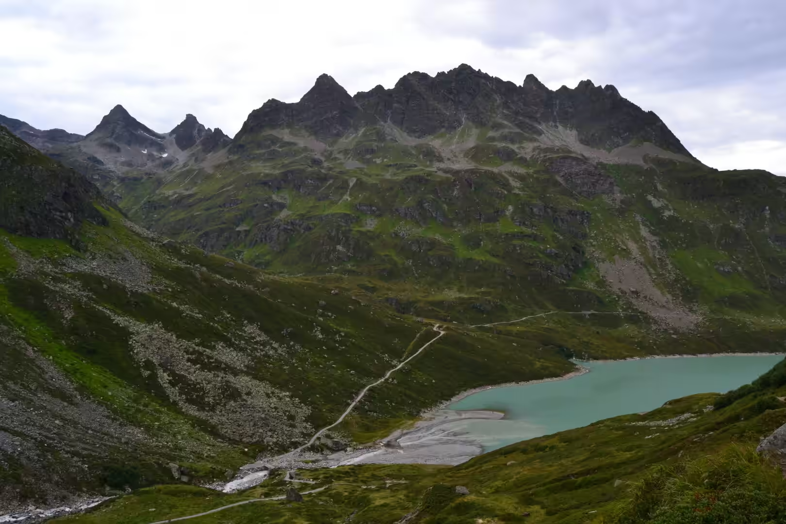
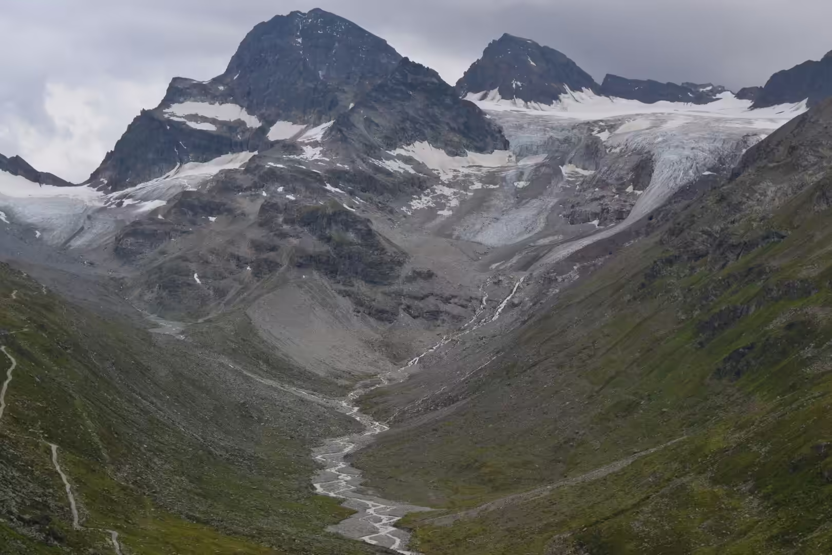
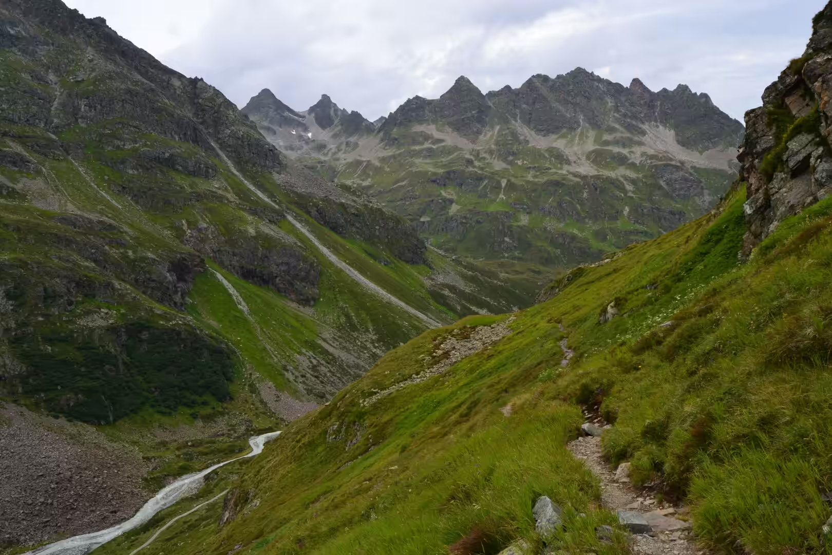
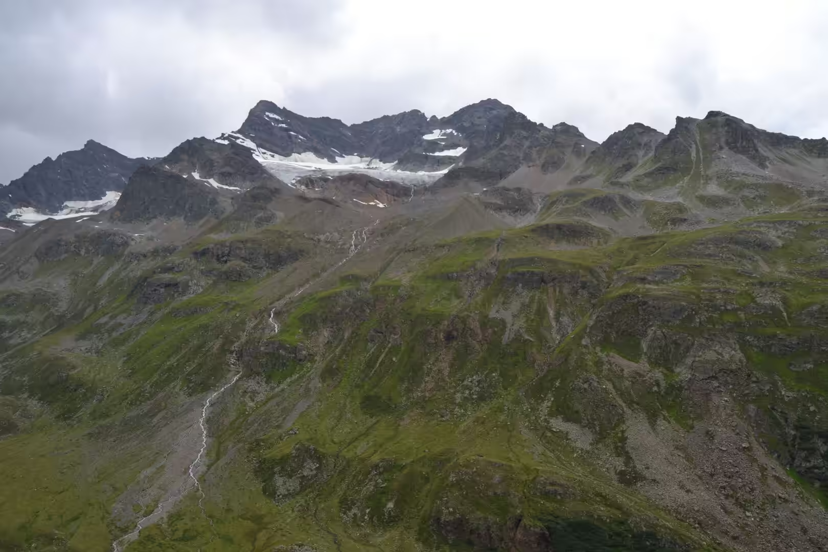
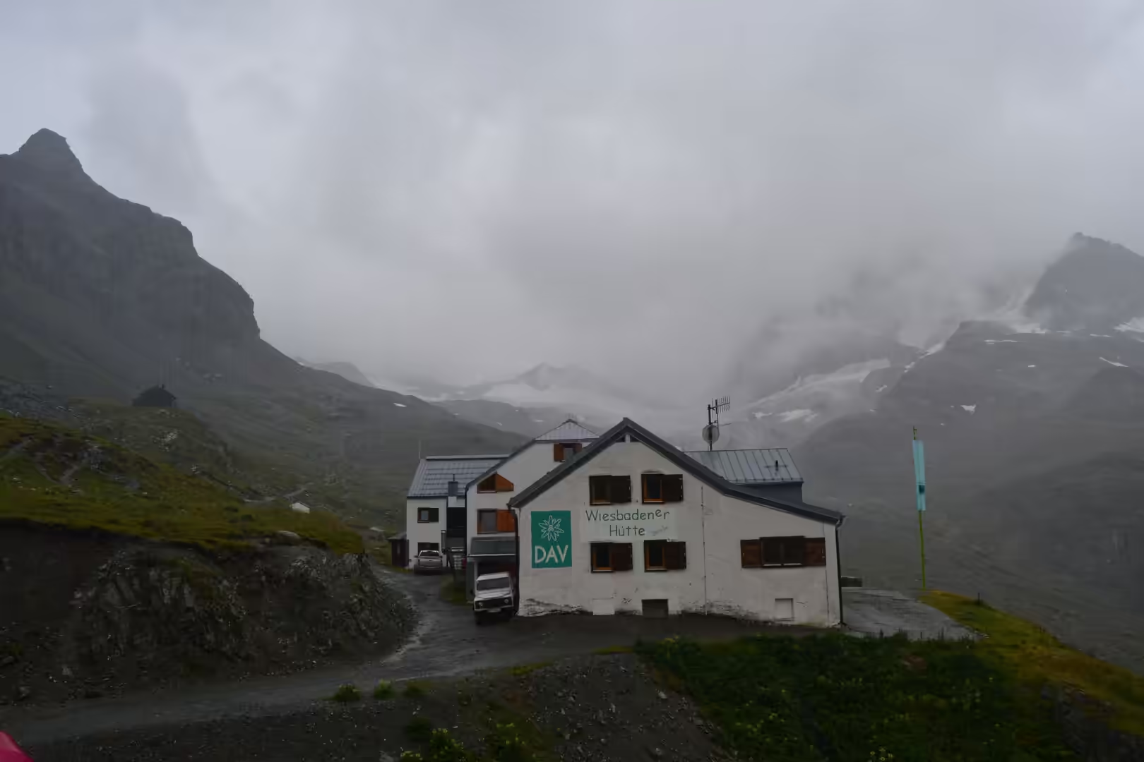
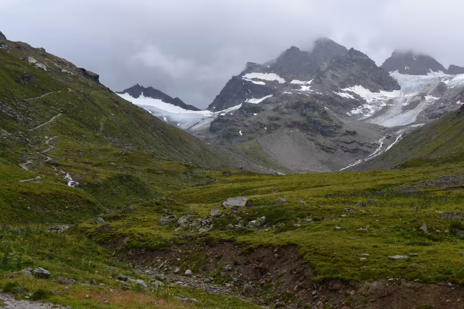
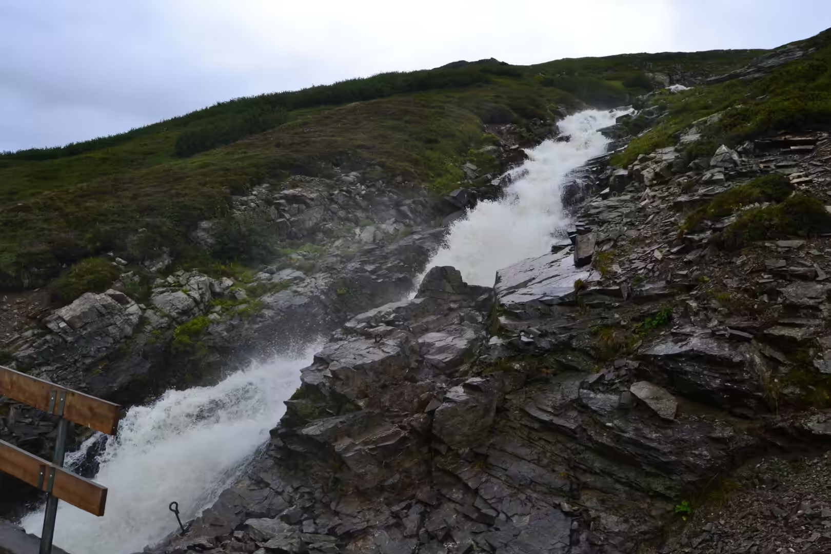
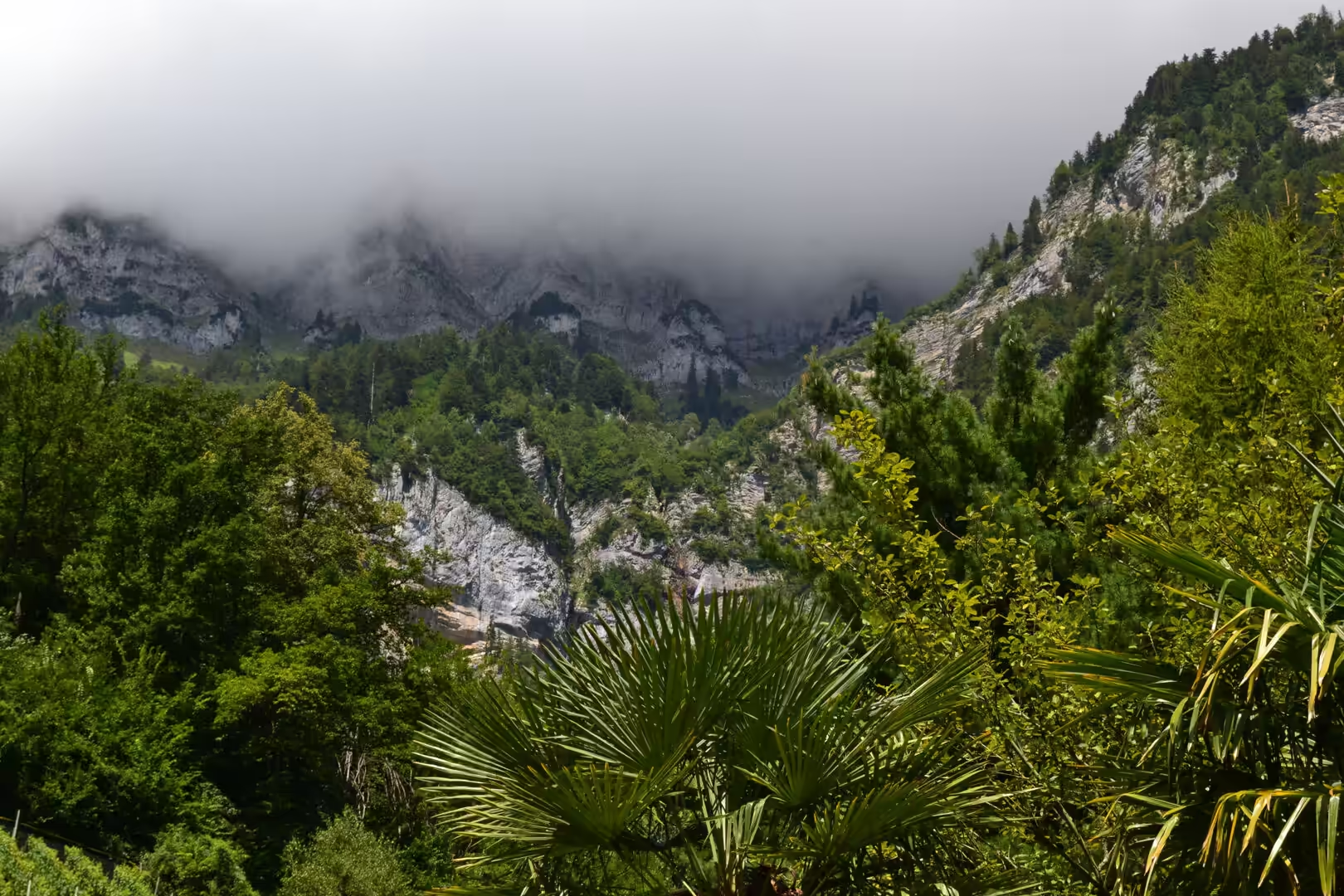
The high country is walking country. Paths lead up through green slopes towards jagged peaks, past streams that tumble white over dark rocks and waterfalls that fall in steps over layered ledges. Somewhere among the rock and cloud stands a mountain hut of the German Alpine Club with its sign and emblem, and further on the ridge opens to the glaciated peaks of the neighbouring range, with a gravel track following a milky glacier-fed stream below. The streams carry rock flour, which is why they are white rather than clear.
The capital and the castles make up the other half of a visit. Vaduz is a town of about five and a half thousand people along the Rhine, with the castle on its steep hill above the roofs as the residence of the reigning prince, the Cathedral of St Florin, the government house and the town hall, the national museum and the art museum. Schaan, to the north, is the largest municipality. In the south, above the village of Balzers, stands Gutenberg Castle on a seventy metre free standing rock: one of the five castles of the principality, one of two that survive intact, and the one open to the public as a museum. The oldest settlements of the Unterland sit on the Eschnerberg, and at Hinterschellenberg the monument to the Russian soldiers keeps a memory of the war years.
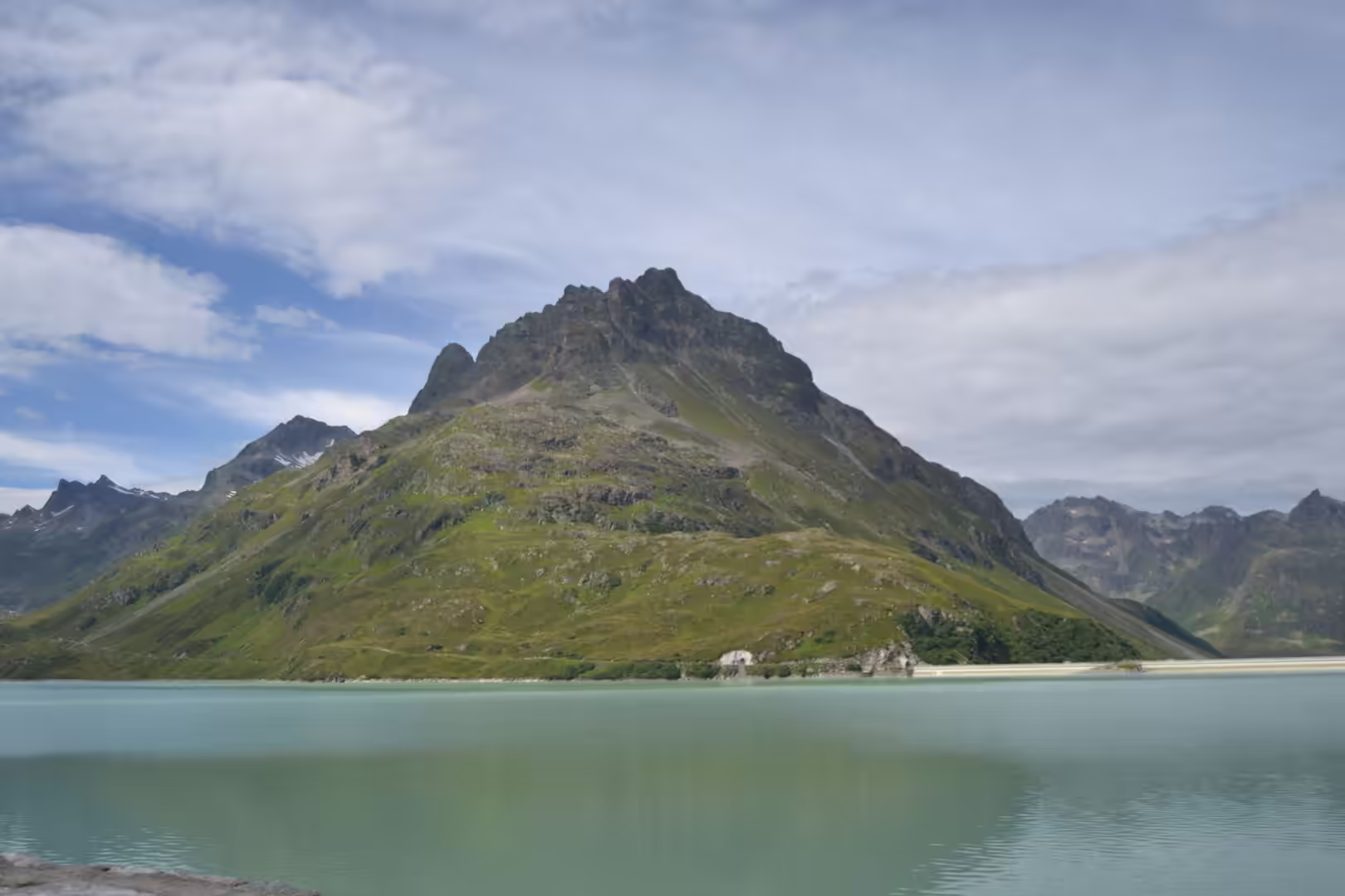
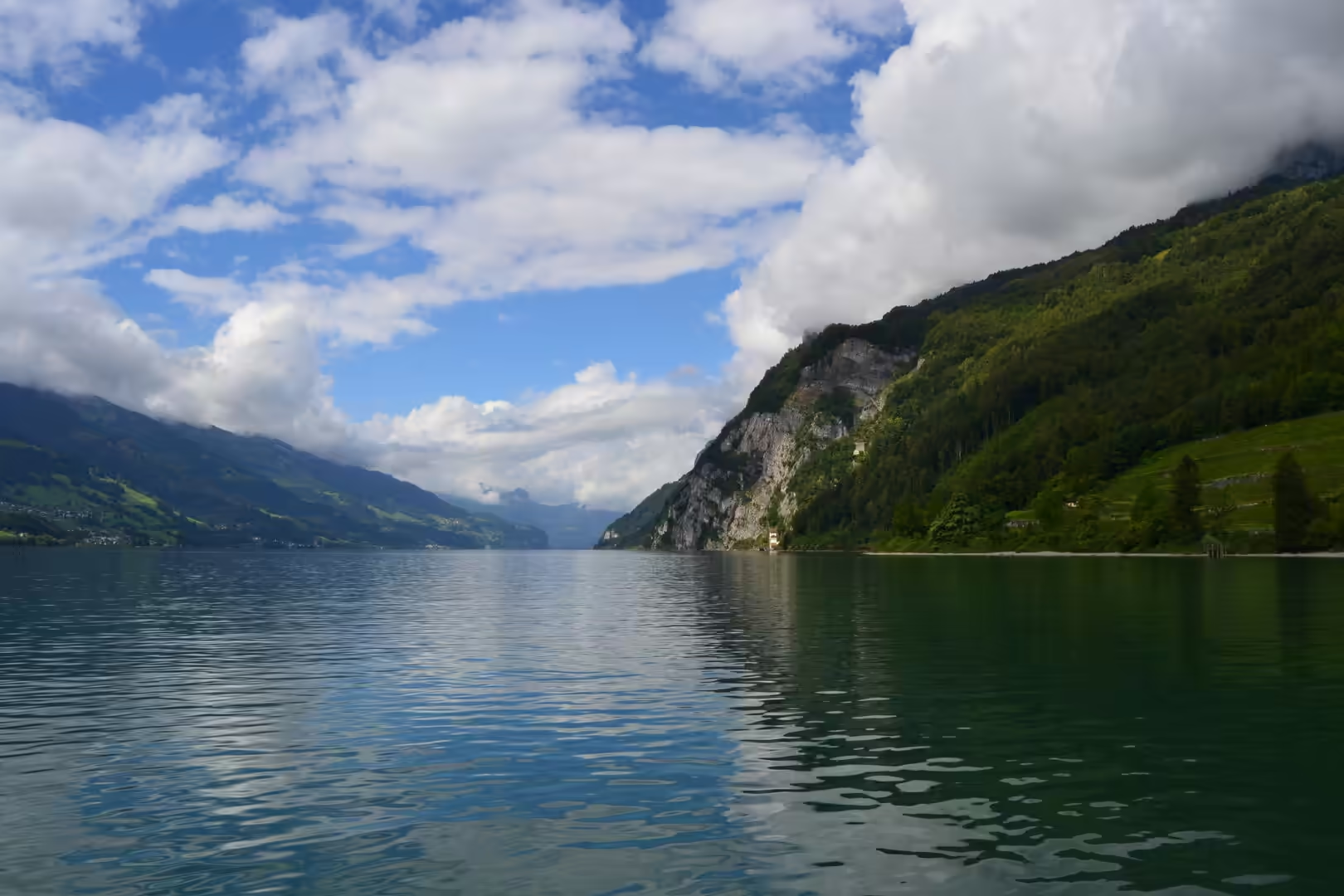
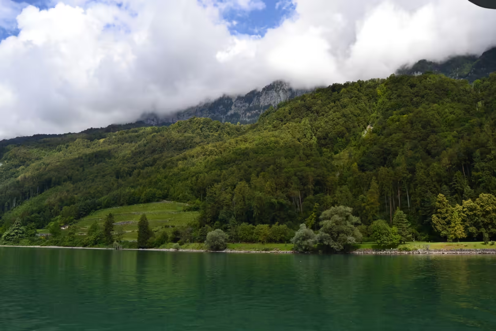
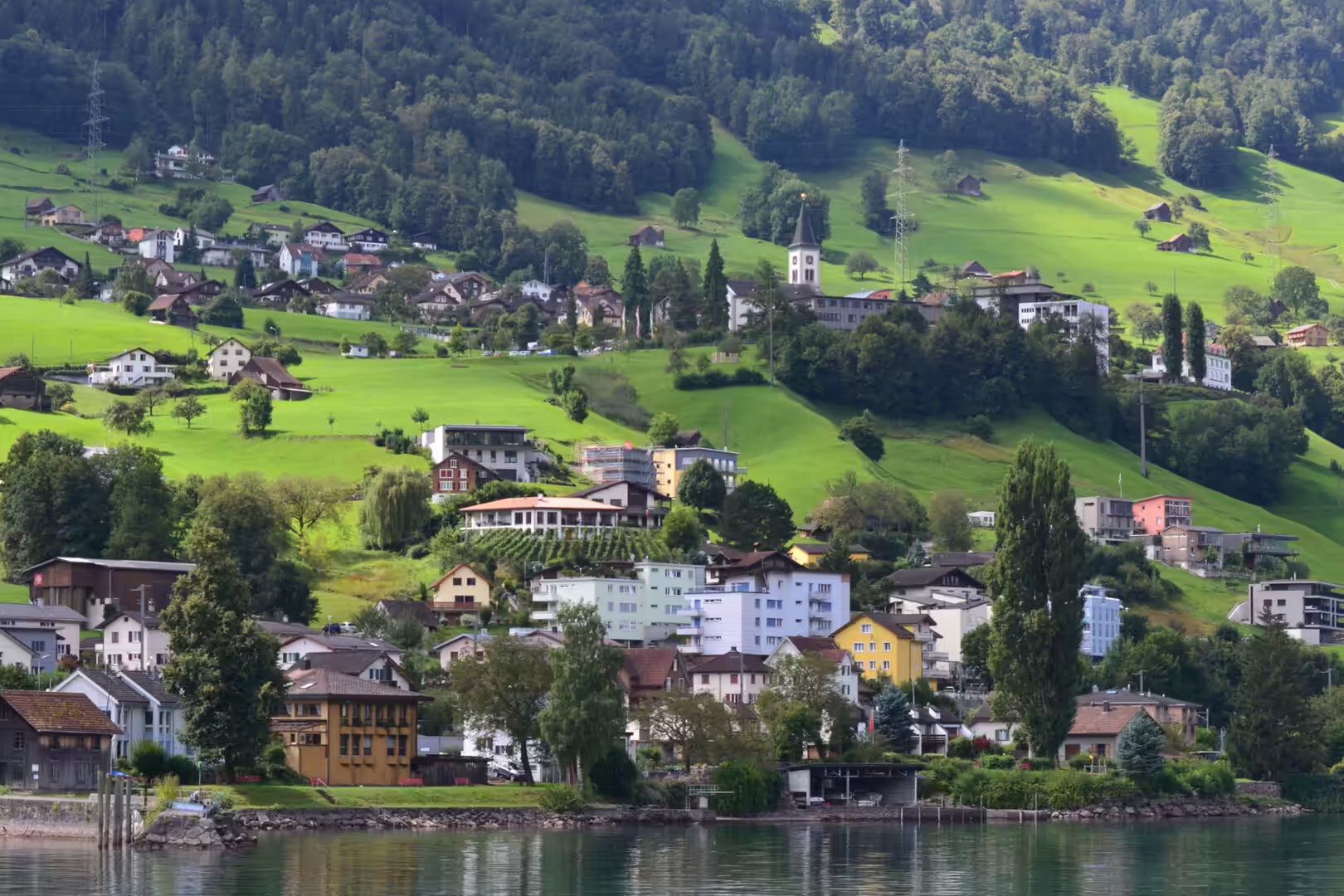
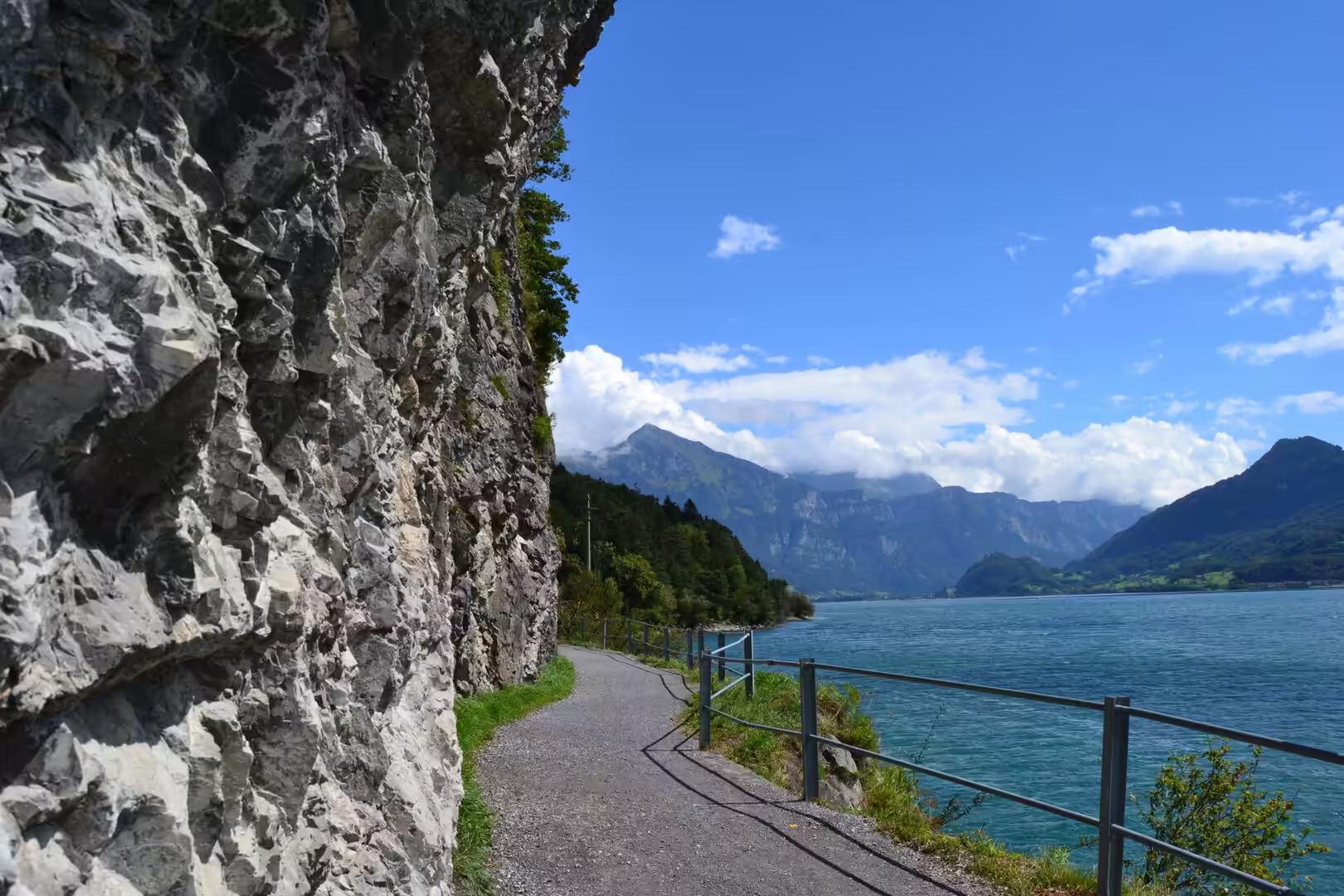
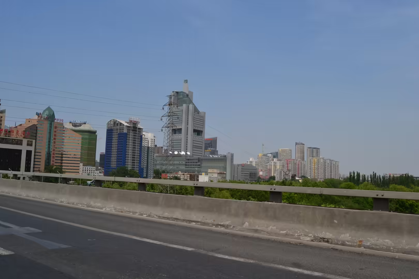
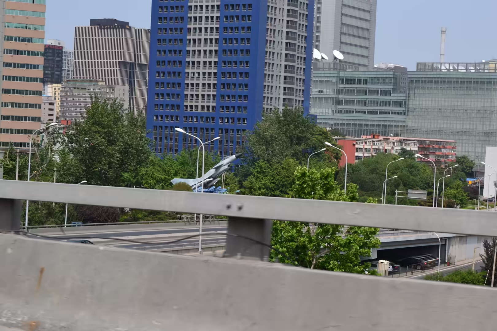
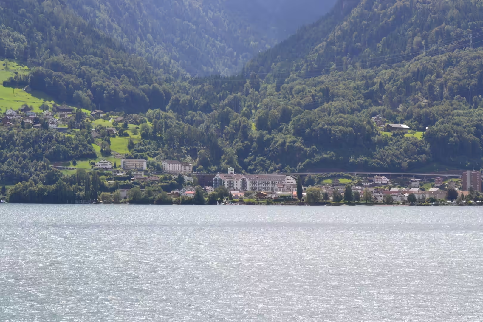
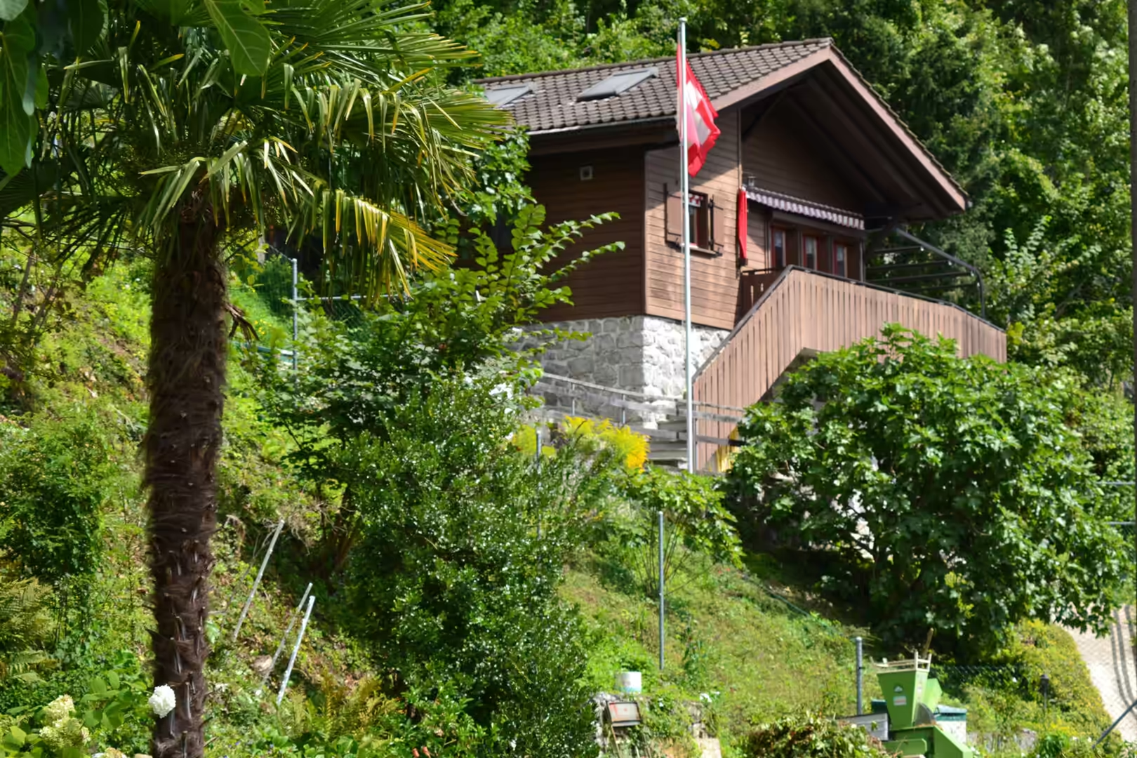
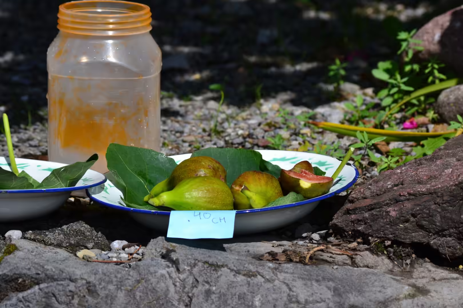
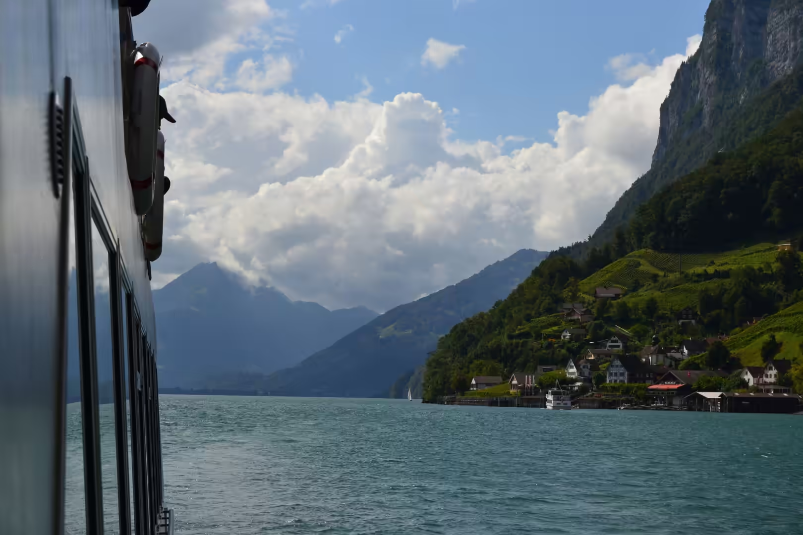
The borders on both sides belong to the journey as well, because in a country this narrow the neighbours are part of the view. Across the Rhine, Switzerland offers lakeside villages with white church towers and the Swiss flag flying, boathouses along the shore, vines climbing a hillside towards a large barn at the edge of the forest, and a roadside stall where figs and a jar of honey lie on leaves with a handwritten price in Swiss francs. The Walensee fills a valley between the Appenzell Alps and the Glarus Alps, twenty four square kilometres in area and 151 metres deep. Across the other border, the Austrian Alps offer high passes, dammed reservoirs and glaciers above them. The week ended as such journeys do, in a city: seen from behind a motorway guardrail, the glass offices and apartment towers of the modern world.
A few practical things are worth knowing. German is spoken, in an Alemannic dialect that varies from village to village, and the currency is the Swiss franc, which makes the border invisible in daily life. The country is small enough to cross on foot in a day, and its wine, grown on the slopes above Vaduz and Triesen, is sold in the villages. What stays in the memory is not a monument but the proportions of the place: a valley with cloud on it, a pasture with one goat, a stream running white with rock flour, and a castle on a hill above a town of five thousand people that happens to be the capital of a sovereign state.
References
- Wikipedia contributors (2026). Liechtenstein. en.wikipedia.org/wiki/Liechtenstein
- Wikipedia contributors (2026). History of Liechtenstein. en.wikipedia.org/wiki/History_of_Liechtenstein
- Wikipedia contributors (2026). Vaduz. en.wikipedia.org/wiki/Vaduz
- Wikipedia contributors (2026). Vaduz Castle. en.wikipedia.org/wiki/Vaduz_Castle
- Wikipedia contributors (2026). Malbun. en.wikipedia.org/wiki/Malbun
- Wikipedia contributors (2026). Triesenberg. en.wikipedia.org/wiki/Triesenberg
- Wikipedia contributors (2026). Rätikon. en.wikipedia.org/wiki/Rätikon
- Wikipedia contributors (2026). Grauspitz. en.wikipedia.org/wiki/Grauspitz
- Wikipedia contributors (2026). Rhine. en.wikipedia.org/wiki/Rhine
- Wikipedia contributors (2026). Alpine orogeny. en.wikipedia.org/wiki/Alpine_orogeny
- Wikipedia contributors (2026). Flysch. en.wikipedia.org/wiki/Flysch
- Wikipedia contributors (2026). Eschnerberg. en.wikipedia.org/wiki/Eschnerberg
- Wikipedia contributors (2026). Politics of Liechtenstein. en.wikipedia.org/wiki/Politics_of_Liechtenstein
- Wikipedia contributors (2026). Gutenberg Castle. en.wikipedia.org/wiki/Gutenberg_Castle
- Wikipedia contributors (2026). Walensee. en.wikipedia.org/wiki/Walensee
- Oberhauser R. (1965) Geology of the boundary between Eastern and Western Alps in Vorarlberg and Prätigau with particular emphasis on its tectonics. Zeitschrift der Deutschen Geologischen Gesellschaft. 116. 440-446. doi.org/10.1127/zdgg/116/1965/440
- Wolfgang Schnabel G. (1992) New data on the Flysch Zone of the Eastern Alps in the Austrian sector and new aspects concerning the transition to the Flysch Zone of the Carpathians. Cretaceous Research. 13. 405-419. doi.org/10.1016/0195-6671(92)90007-d
- Cammeraat E., de Graaff L.W.S., Kwadijk J.K., Rupke J. (1987) On the origin of debris pillars in the Alps of Vorarlberg, Western Austria. Zeitschrift für Geomorphologie. 31. 85-100. doi.org/10.1127/zfg/31/1987/85
- Zängl G., Vogt S. (2006) Valley-wind characteristics in the Alpine Rhine Valley: Measurements with a wind-temperature profiler in comparison with numerical simulations. Meteorologische Zeitschrift. 15. 179-186. doi.org/10.1127/0941-2948/2006/0110
- Toonen W. (2015) Flood frequency analysis and discussion of non-stationarity of the Lower Rhine flooding regime (AD 1350-2011): Using discharge data, water level measurements, and historical records. Journal of Hydrology. 528. 490-502. doi.org/10.1016/j.jhydrol.2015.06.014
- Decker K., Meschede M., Ring U. (1993) Fault slip analysis along the northern margin of the Eastern Alps (Molasse, Helvetic nappes, North and South Penninic flysch, and the Northern Calcareous Alps). Tectonophysics. 223. 291-312. doi.org/10.1016/0040-1951(93)90142-7