
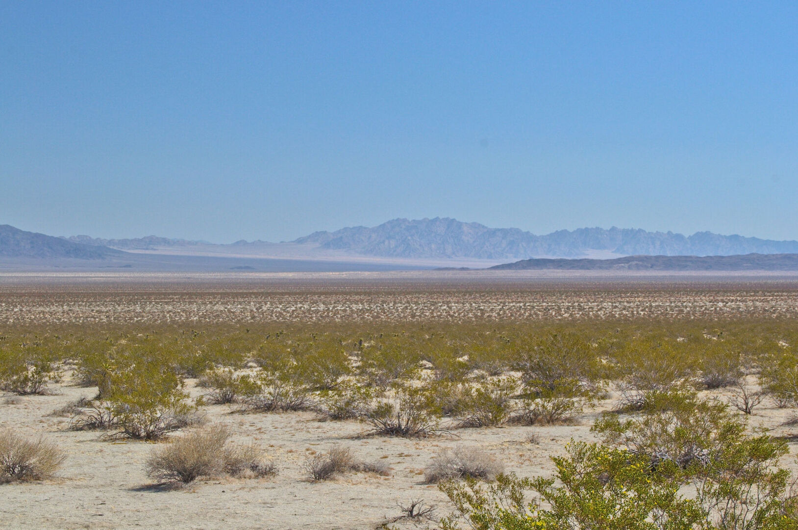
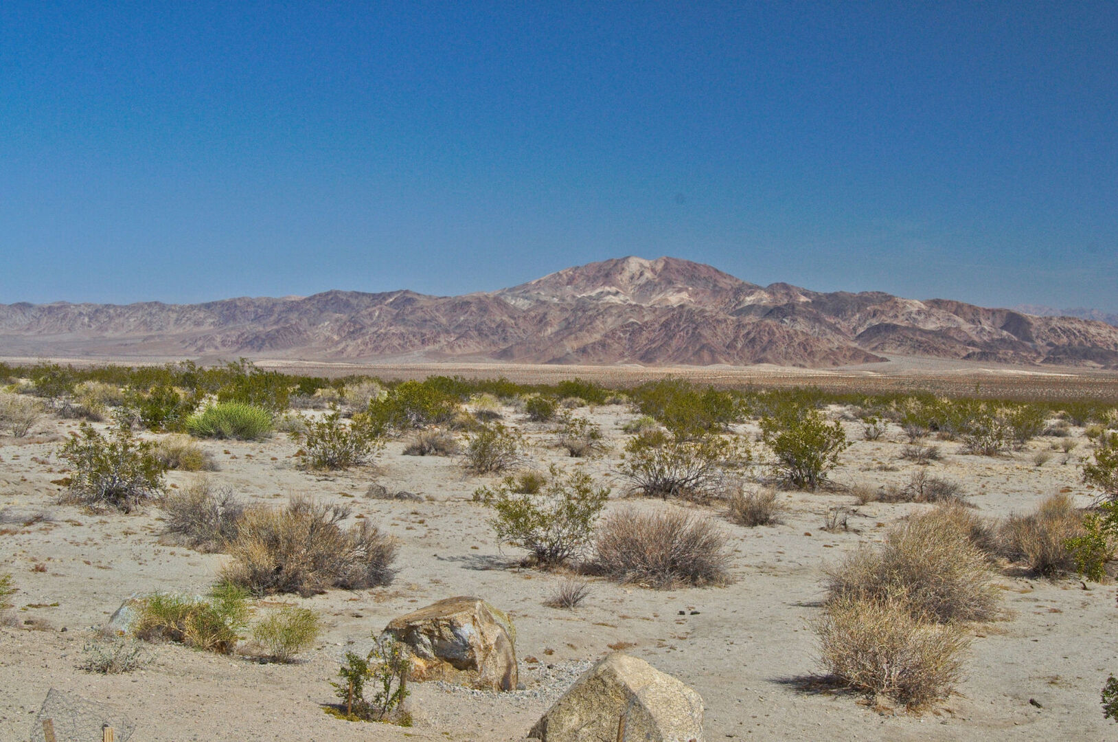
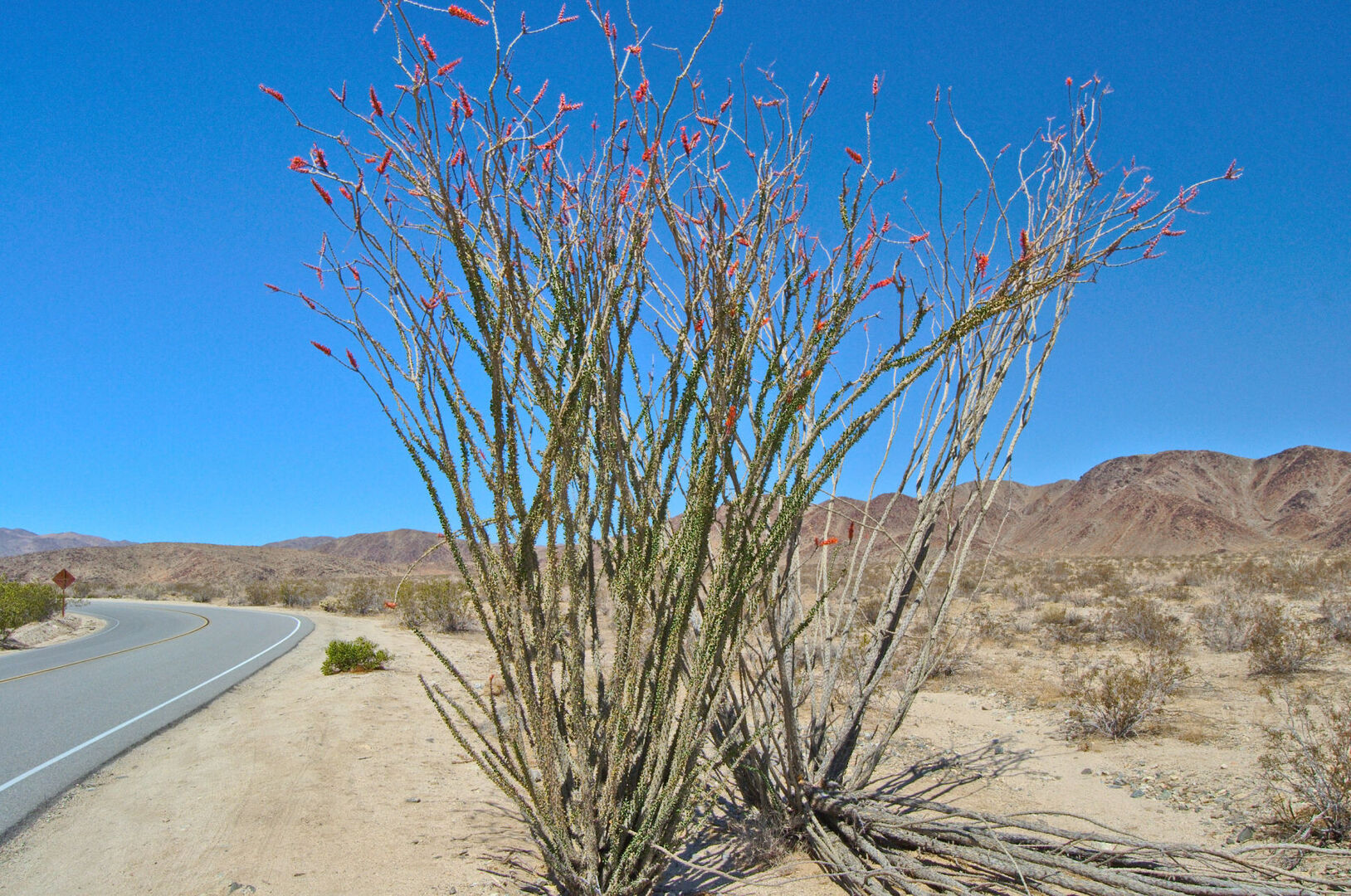
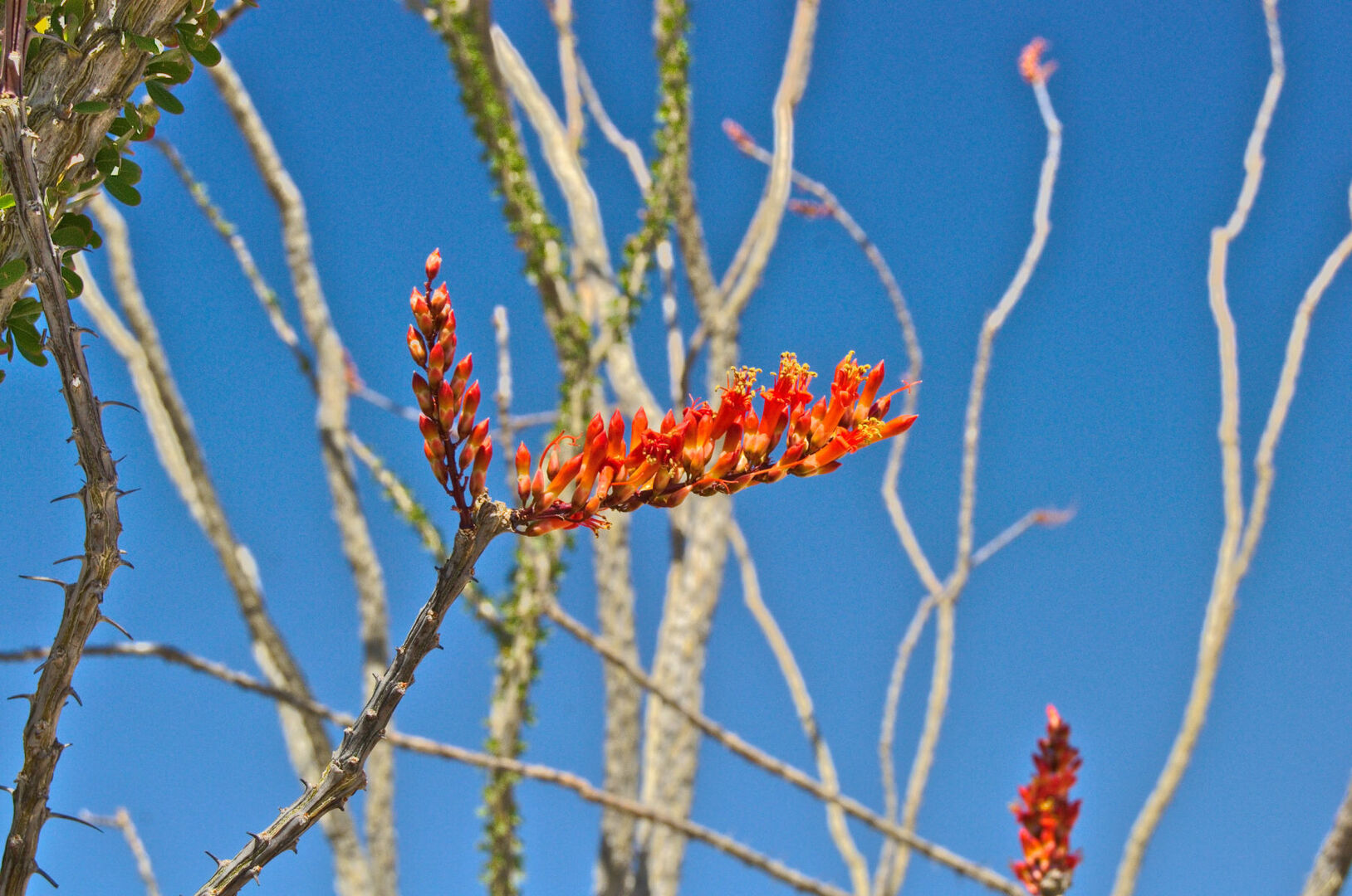

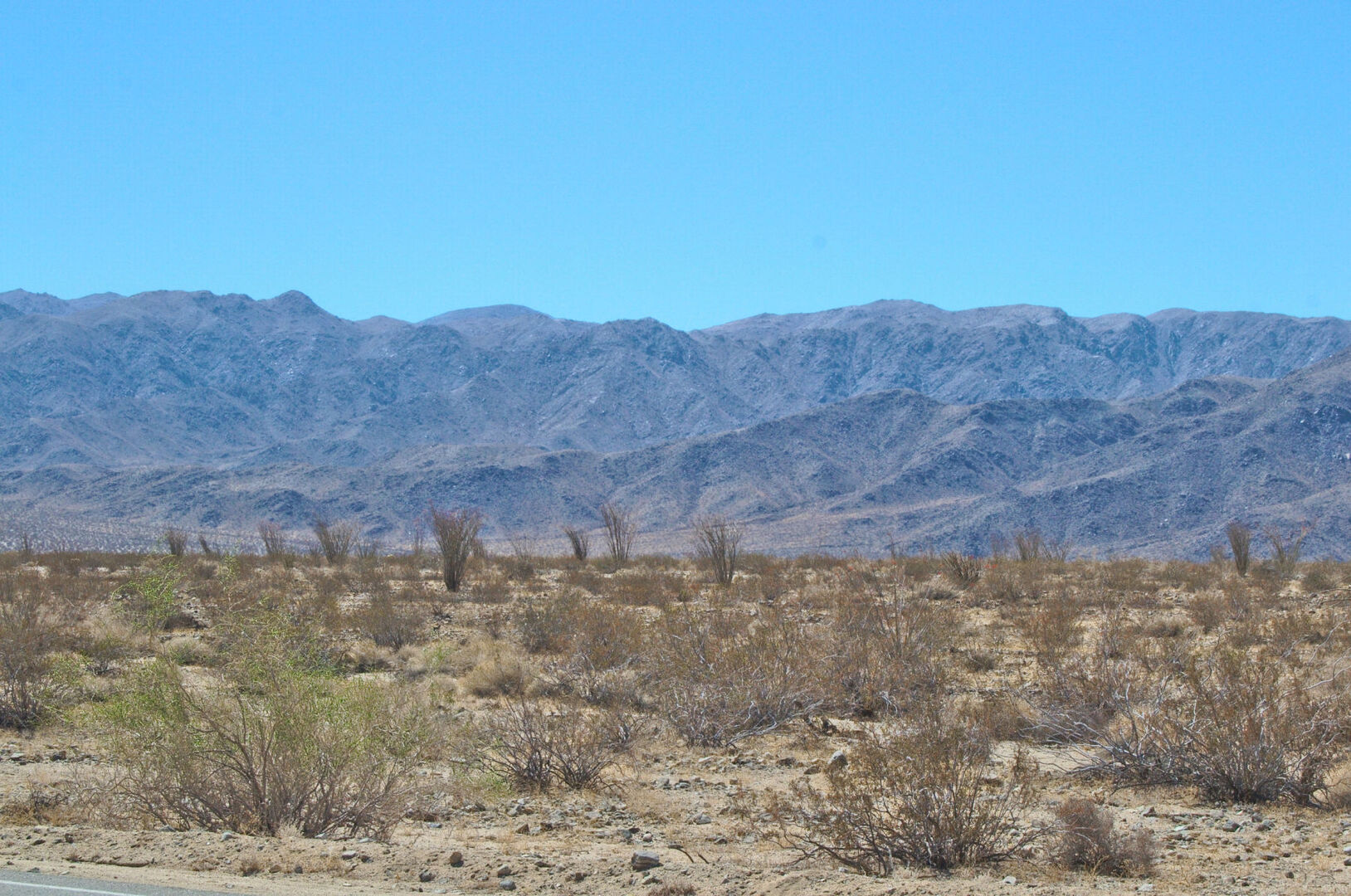
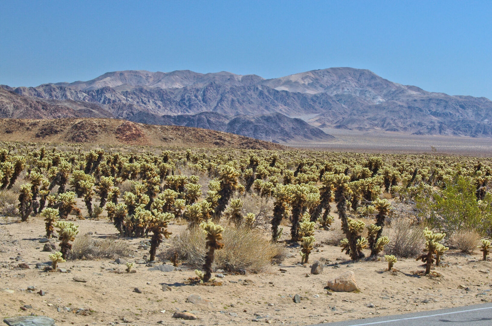
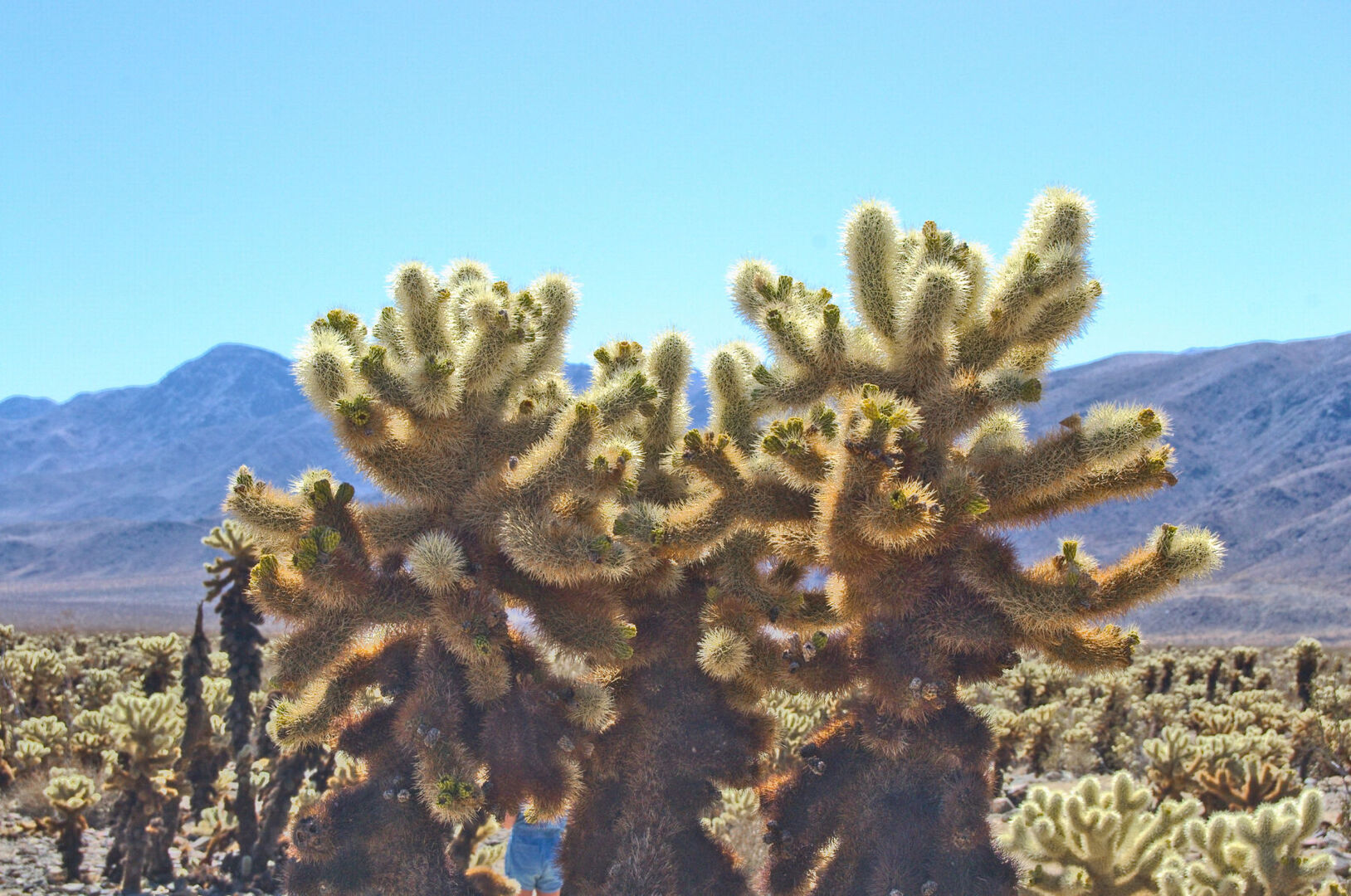
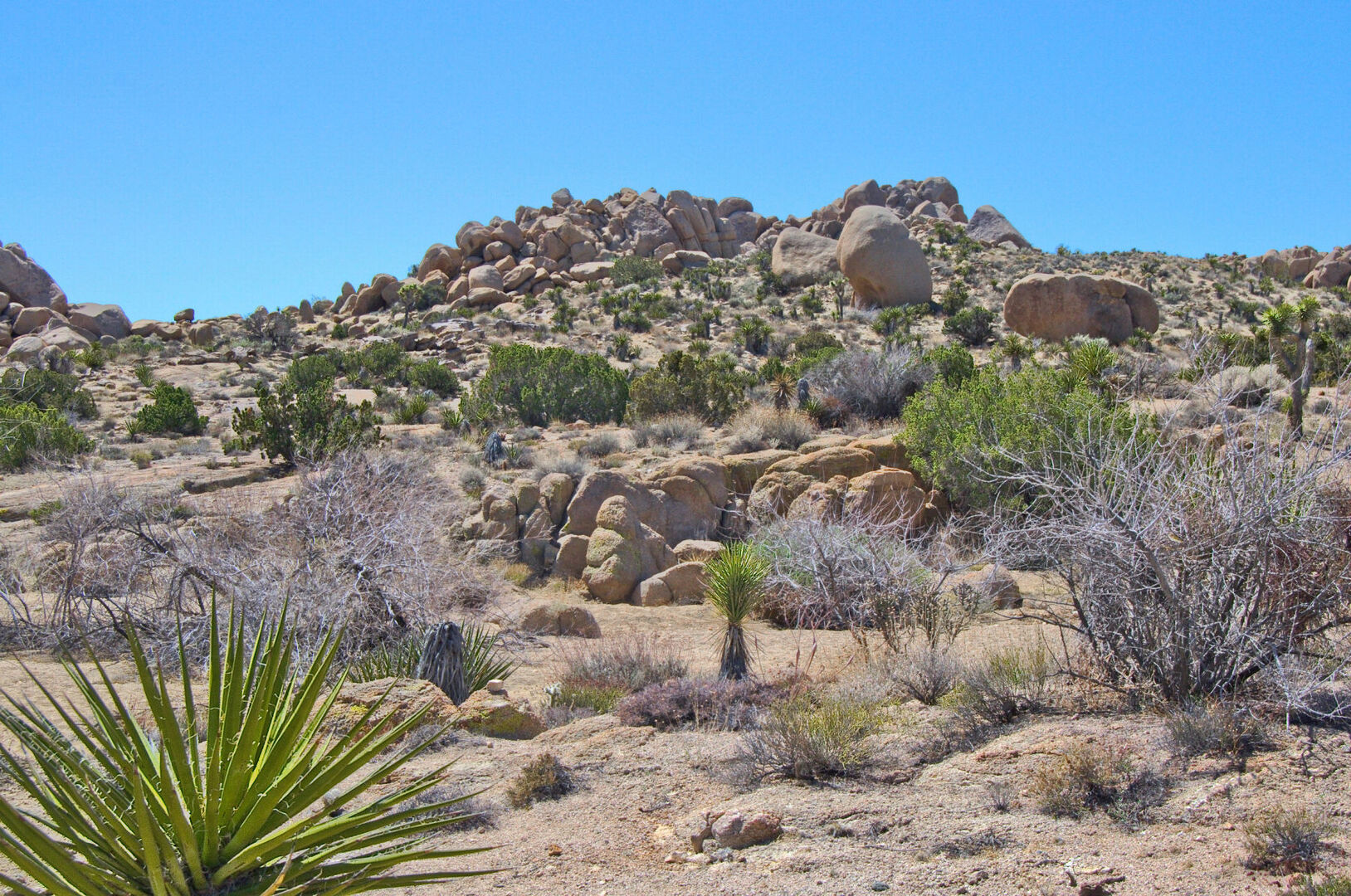
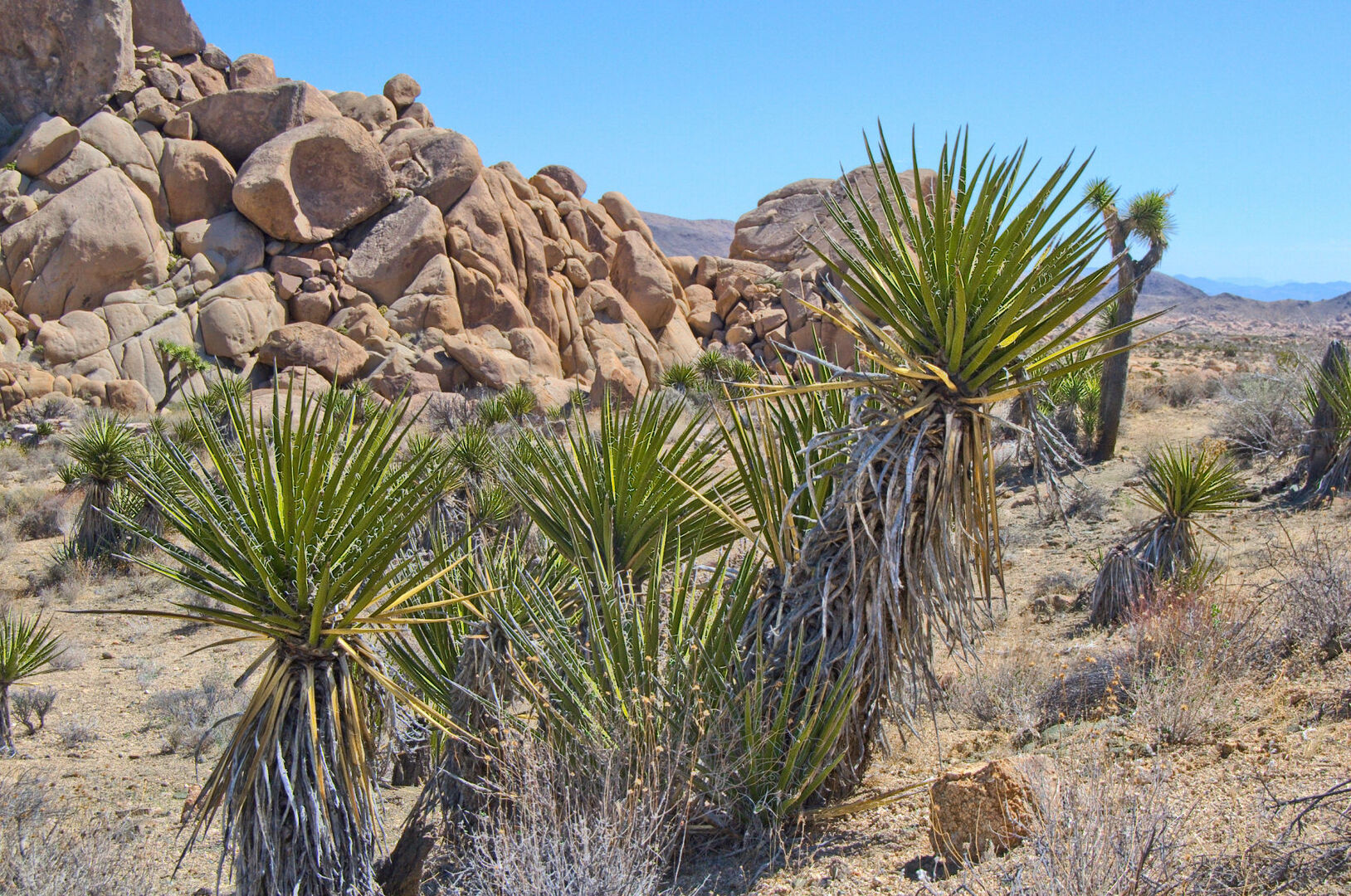
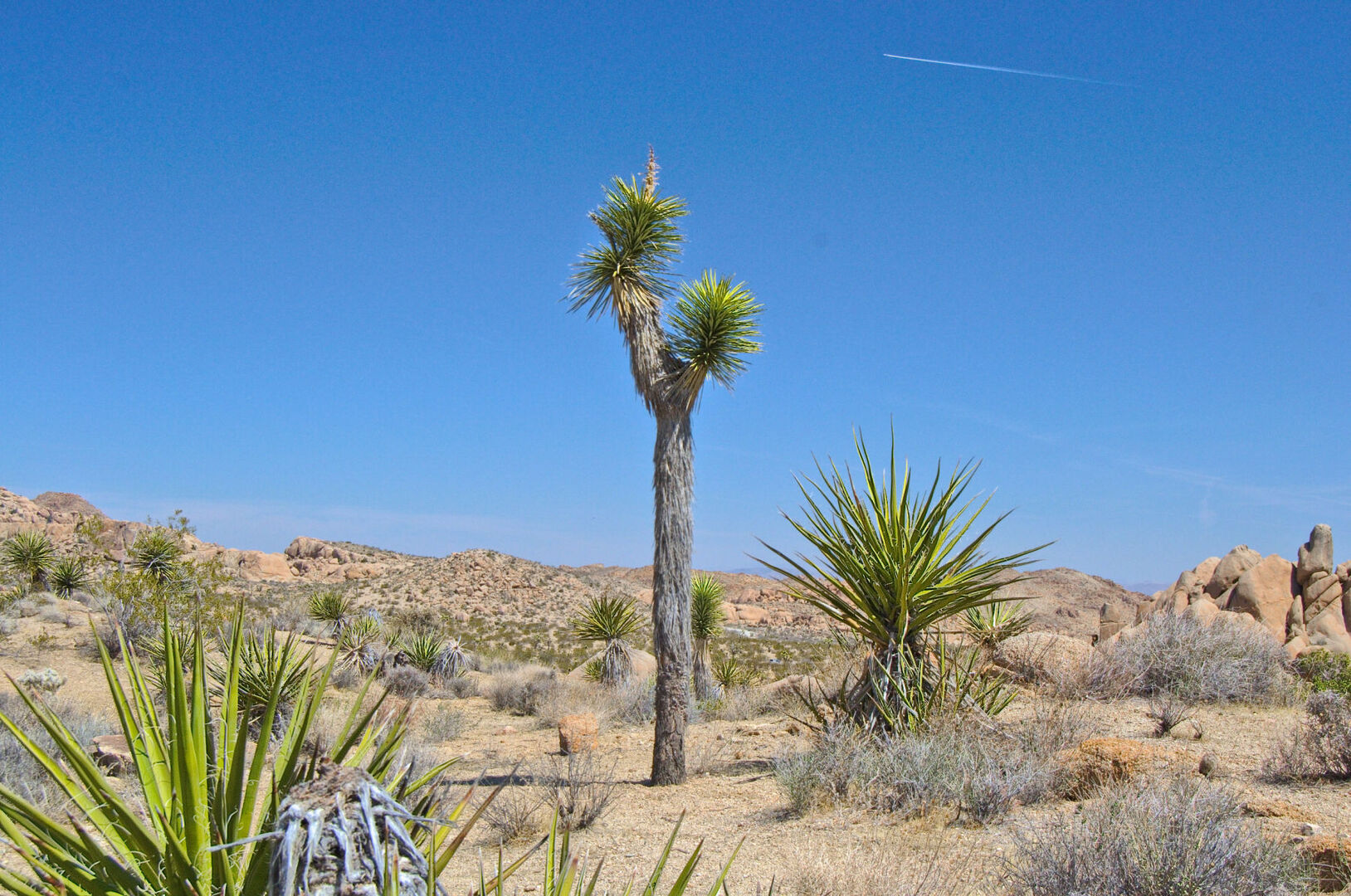
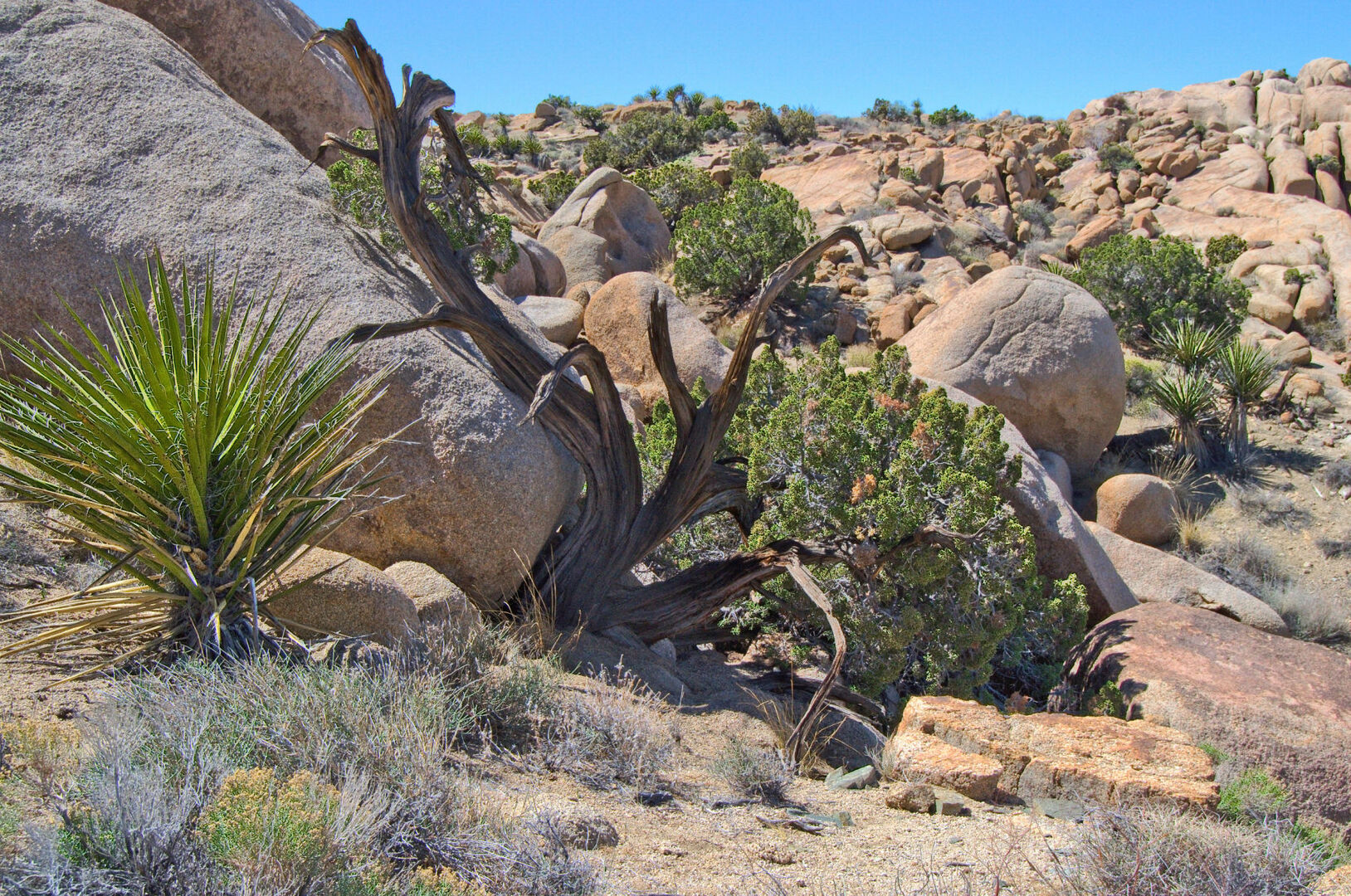
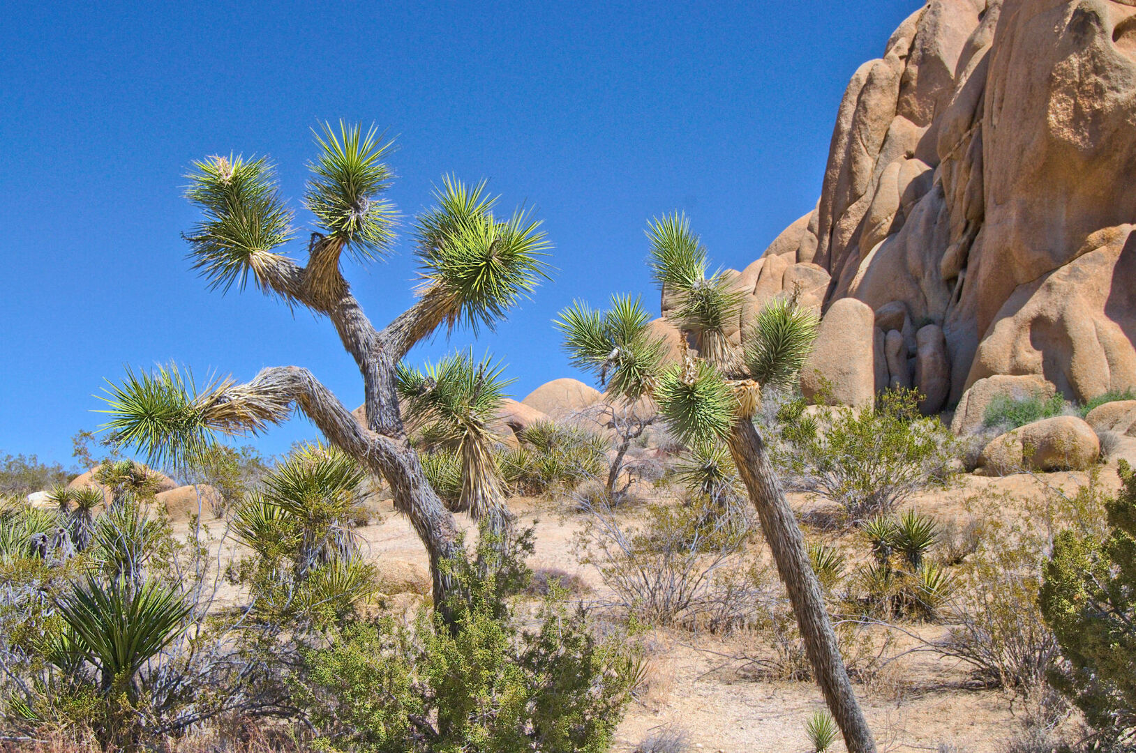
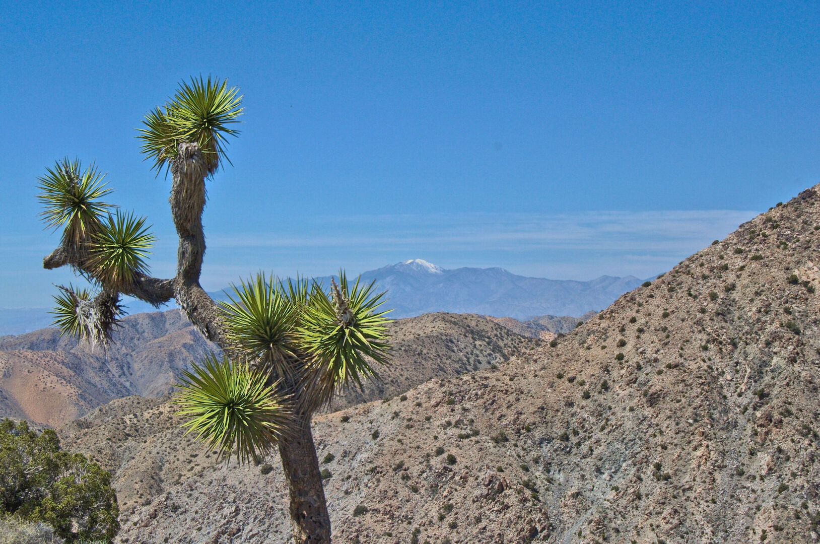
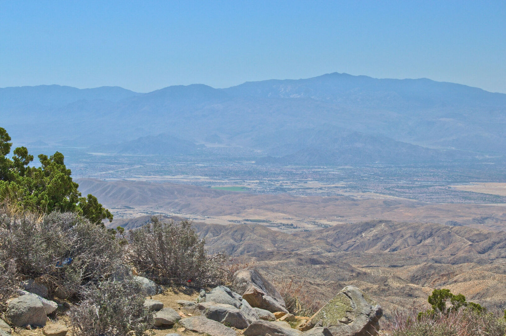
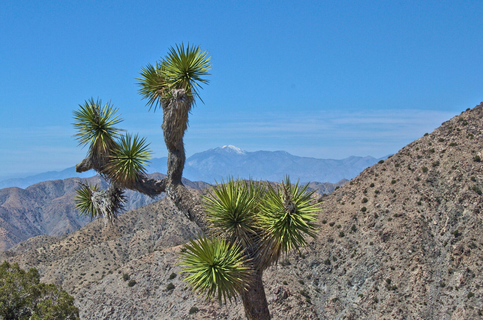
Joshua Tree National Park is a unique and captivating natural wonder located in Southern California. With its diverse landscape and otherworldly beauty, this park is a must-visit destination for anyone seeking a memorable outdoor adventure.
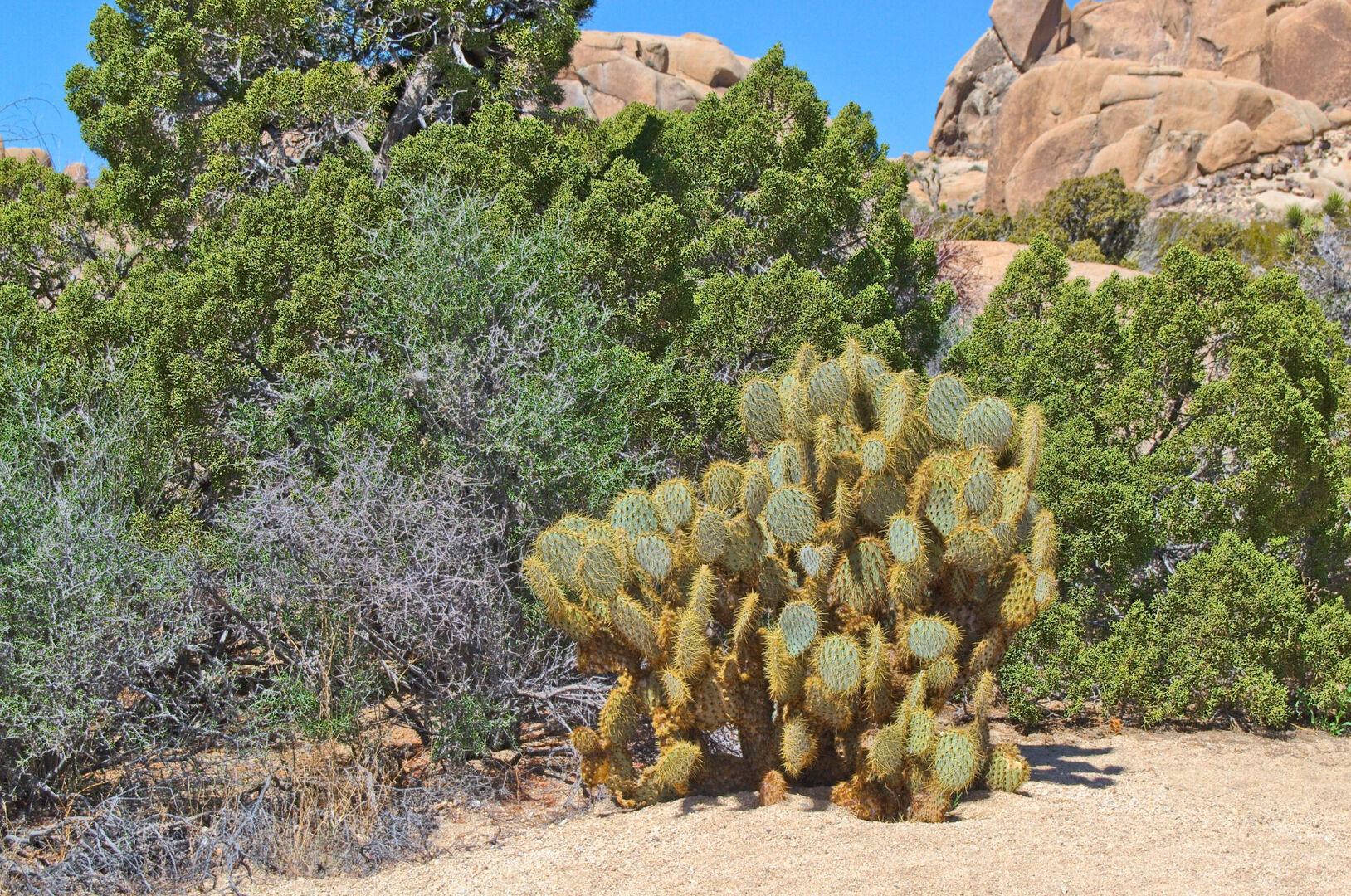
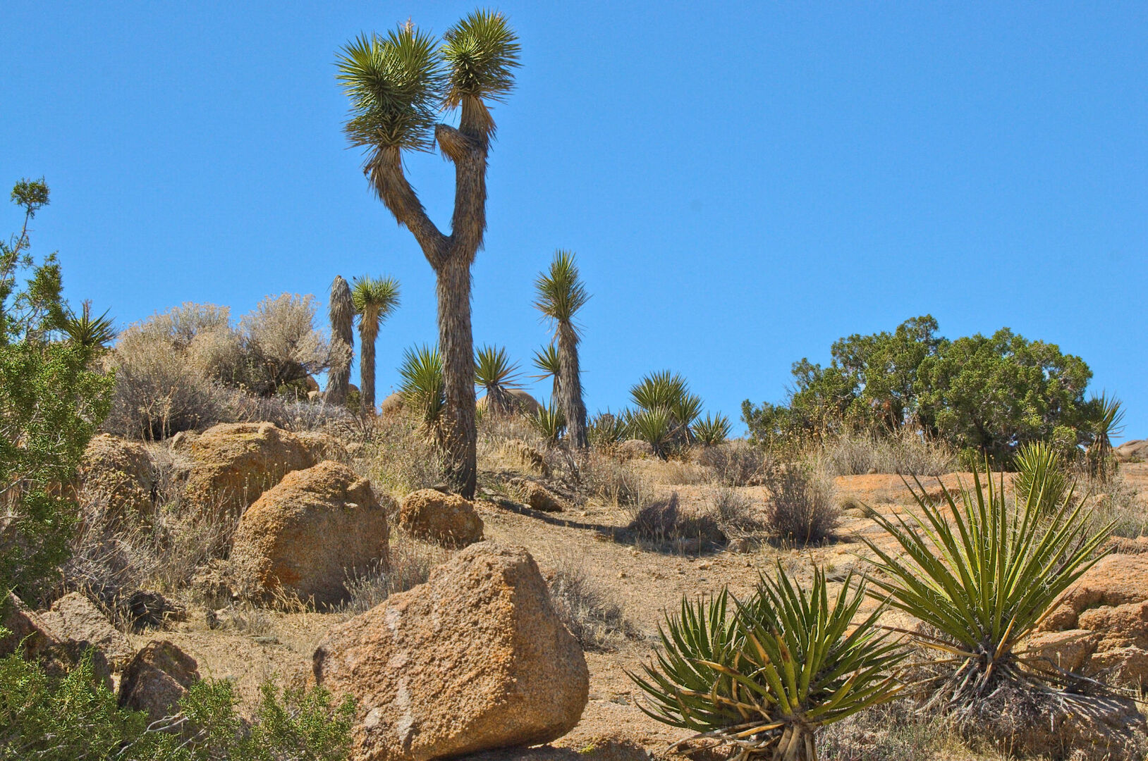
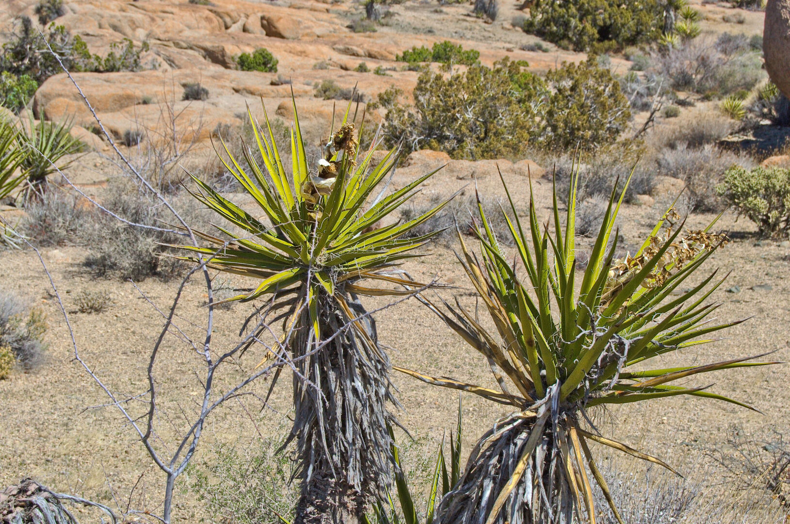
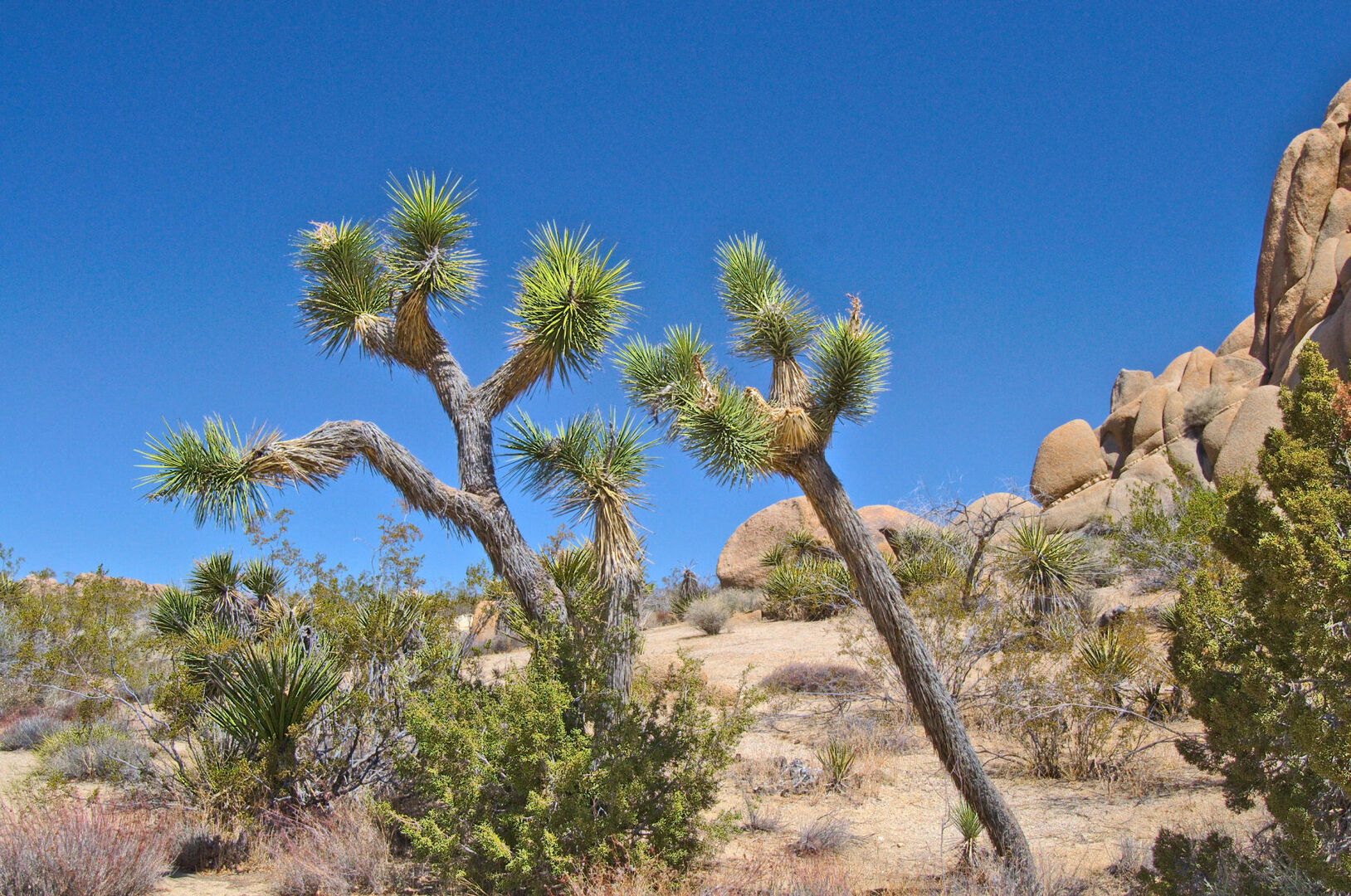
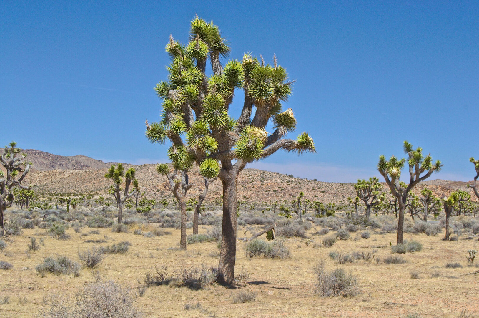
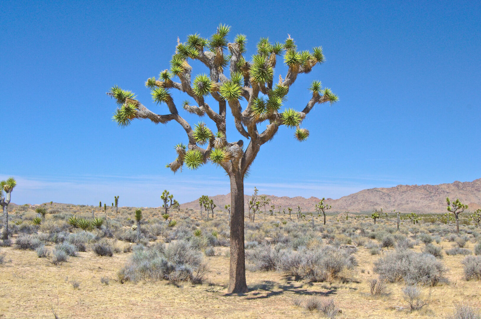
The park was established in 1936 and covers an area of over 790,000 acres. It is named after the iconic Joshua tree, a species of yucca that is native to the Mojave Desert and is known for its distinctive, spiky branches. The park is also home to a variety of other fascinating plant and animal species, including the desert tortoise, bighorn sheep, and multiple species of cacti.
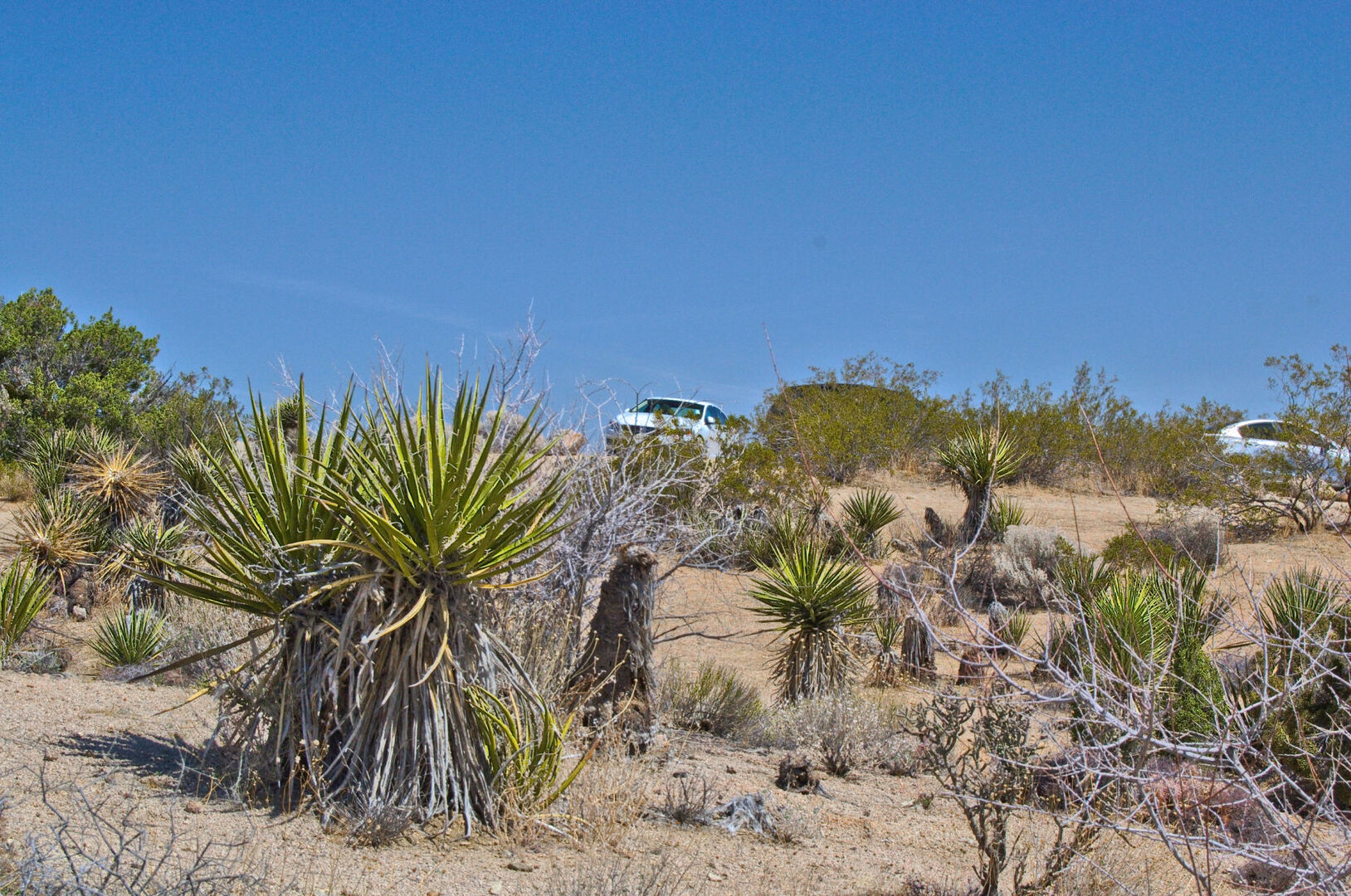
The landscape of Joshua Tree National Park is unlike any other place on earth. Rolling hills, rocky formations, and towering mountains contrast against an endless sky and the barren desert floor. The park is a breathtakingly beautiful place, with an otherworldly quality that makes it seem like a different planet.
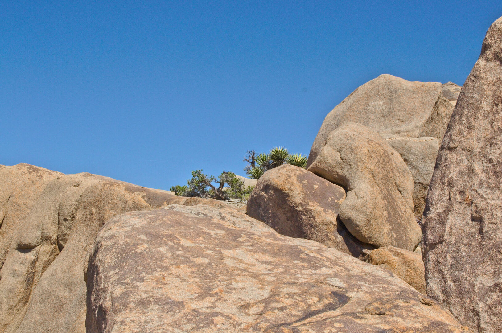
One of the most popular activities in Joshua Tree National Park is rock climbing. The park is renowned for its massive rock formations, which provide countless opportunities for climbers of all levels. The rock formations are made of a type of granite that is ideal for climbing and offer breathtaking views from the top.
For those who prefer a more relaxed pace, there are plenty of opportunities for hiking, nature walks, and wildlife viewing. The park is home to several trails that take you through the desert, including the easy-to-follow Barker Dam Nature Trail, which offers a beautiful desert oasis and stunning views of the surrounding mountains.
In addition to the many outdoor activities, Joshua Tree National Park also has a rich cultural history. It is home to several historic sites, including the Keys Ranch, which was once a working ranch and is now a museum that showcases the history of the park and the people who lived there.
Joshua Tree National Park is a truly special place that is not to be missed. Whether you are looking for an adventure or simply want to take in the natural beauty of the desert, this park is sure to provide an experience like no other.
So, if you’re looking for a unique and unforgettable outdoor adventure, pack your bags and head to Joshua Tree National Park. With its stunning landscapes, rich cultural history, and endless opportunities for adventure, it’s a place you’ll never forget.
History
Joshua Tree National Park, located in Southern California, has a rich and fascinating history that spans back over thousands of years. From its early days as a homeland for Native American tribes, to its establishment as a national park in the 1930s, the history of Joshua Tree is intertwined with the natural beauty and cultural heritage of the region.
The area that is now Joshua Tree National Park has been inhabited by various Native American tribes for thousands of years. The Cahuilla and the Mojave tribes were two of the main groups that called this area home, and they used the plants and animals in the desert for food, medicine, and clothing. The park is also home to several historic sites, including rock art and grinding holes, that provide a glimpse into the lives of these early inhabitants.
In the late 19th century, American pioneers began to settle in the area, and the park became known for its gold and silver mines. The town of Joshua Tree was established, and the park’s namesake, the Joshua tree, became an important source of wood for the miners. The trees were used for fuel, building materials, and even fencing.
In 1936, Joshua Tree National Monument was established by President Franklin D. Roosevelt to protect the unique natural beauty of the area. The park was officially designated as Joshua Tree National Park in 1994, and today it covers over 790,000 acres and is home to a wide variety of plant and animal species, including the iconic Joshua tree, bighorn sheep, and desert tortoise.
In the decades since its establishment, Joshua Tree National Park has become a popular destination for outdoor enthusiasts and nature lovers. The park’s unique landscape, with its towering rock formations, rolling hills, and barren desert floor, has made it a popular destination for rock climbing, hiking, and nature walks.
In addition to its natural beauty, Joshua Tree National Park is also known for its rich cultural history. The park is home to several historic sites, including the Keys Ranch, which was once a working ranch and is now a museum that showcases the history of the park and the people who lived there.
Today, Joshua Tree National Park is a treasured part of America’s national park system, and it continues to attract visitors from around the world. Whether you’re interested in its rich history, stunning natural beauty, or outdoor adventures, Joshua Tree is a place that you’ll never forget.
The history of Joshua Tree National Park is a testament to the enduring beauty and importance of our national parks. From its early days as a homeland for Native American tribes, to its establishment as a national park in the 1930s, Joshua Tree has been a symbol of our country’s commitment to preserving the natural world for future generations to enjoy.
Geology
Joshua Tree National Park, located in Southern California, is a geologist’s dream come true. With its unique landscape of towering rock formations, rolling hills, and barren desert floor, the park is a testament to the power of geology and the forces that have shaped our planet over millions of years.
The geology of Joshua Tree National Park is a story of two distinct deserts, the Mojave and the Colorado, and the geological forces that have shaped the area over millions of years. The park is located at the intersection of these two deserts, and this unique location has created a landscape that is unlike any other on Earth.
One of the most prominent features of the park is its massive rock formations, which are made of a type of granite that is ideal for rock climbing. The granite was formed over millions of years from cooled magma deep beneath the Earth’s surface, and the massive rocks have been shaped and sculpted by erosion and other geological forces over time.
In addition to its granite formations, Joshua Tree is also home to a wide variety of other rock formations, including volcanic rocks, sandstone, and metamorphic rocks. These rocks have been formed by a variety of geological processes, including volcanic eruptions, earthquakes, and the movement of tectonic plates.
One of the most fascinating aspects of the geology of Joshua Tree National Park is the impact of erosion on the landscape. Over time, wind, rain, and other weather events have worn away at the rocks and created the rolling hills, valleys, and other unique features that make the park such a special place.
Another important aspect of the geology of Joshua Tree is the presence of faults and earthquakes. The park is located on the San Andreas Fault, one of the most active fault lines in the world, and earthquakes are a regular occurrence in the area. The earthquakes have shaped the landscape and created the towering rock formations that are a hallmark of the park.
Joshua Tree National Park is a truly unique place, and its geology is a testament to the power of nature and the forces that have shaped our planet over millions of years. Whether you’re a geologist, a rock climber, or simply a lover of nature, this park is sure to captivate you with its stunning beauty and fascinating geology.