Day 5 - Mount Wellington (Kunanyi)
Journal Notes
General
The last day of the Tasmanian journey went up the mountain that stands over Hobart. The road leaves the city at the foot of the slopes, climbs through the eucalyptus of the lower forest, and reaches the summit at 1,271 metres after about twenty kilometres of bends, with the vegetation changing at every few hundred metres of height.
The change on the way up is the most striking thing about the drive. The gardens and the orchards of the foothills give way to tall wet forest, then to the shorter, twisted woodland of the upper slopes, and finally to the alpine moorland of the top, where the trees stop, the bushes grow flat against the ground and the boulders take over. In half an hour of driving the road passes through the sequence of vegetation that would take a walker a full day to cross on foot.
The summit was cold, windy and partly covered in snow, which is the ordinary condition of the mountain in any month of the year. The wind comes off the Southern Ocean unobstructed, the cloud is often sitting on the top when the city below is in the sun, and the snow that falls in the summer is gone within days. The lookout building at the end of the road is there for the same reason, and on the day of the visit the view was opening and closing as the cloud moved across.
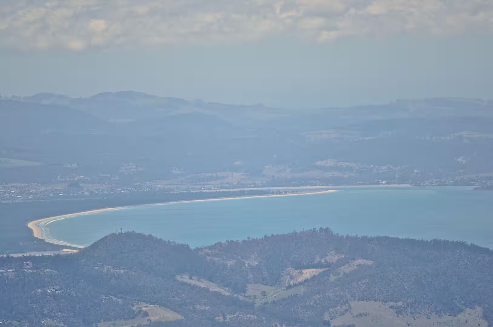
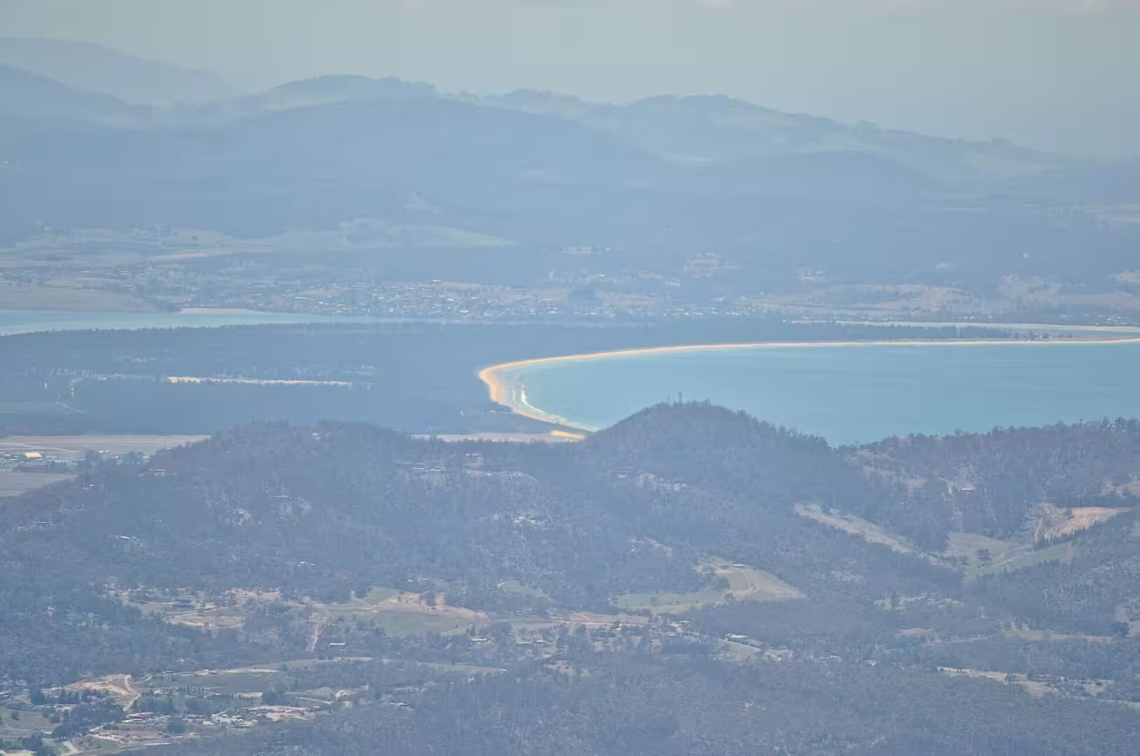
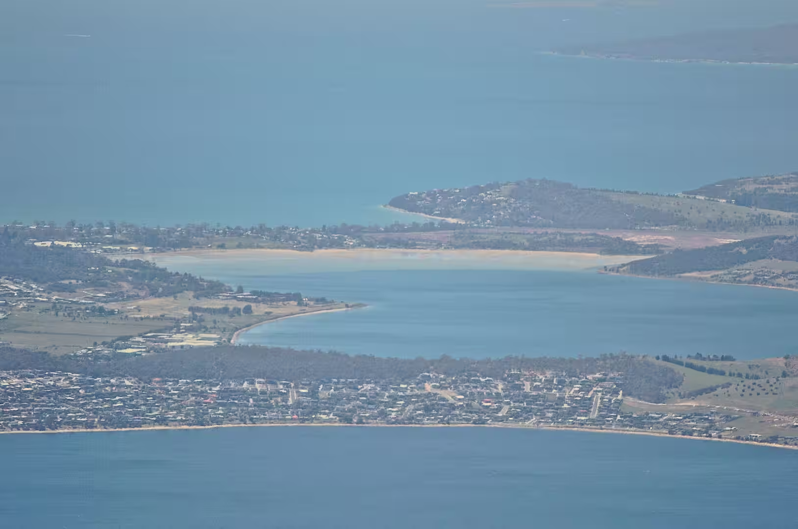
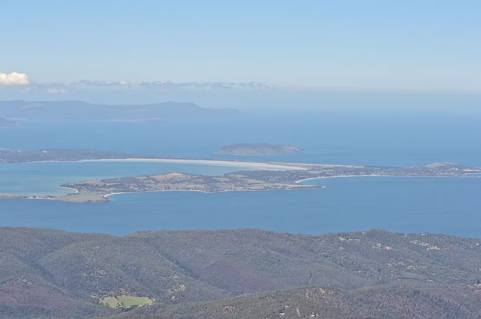
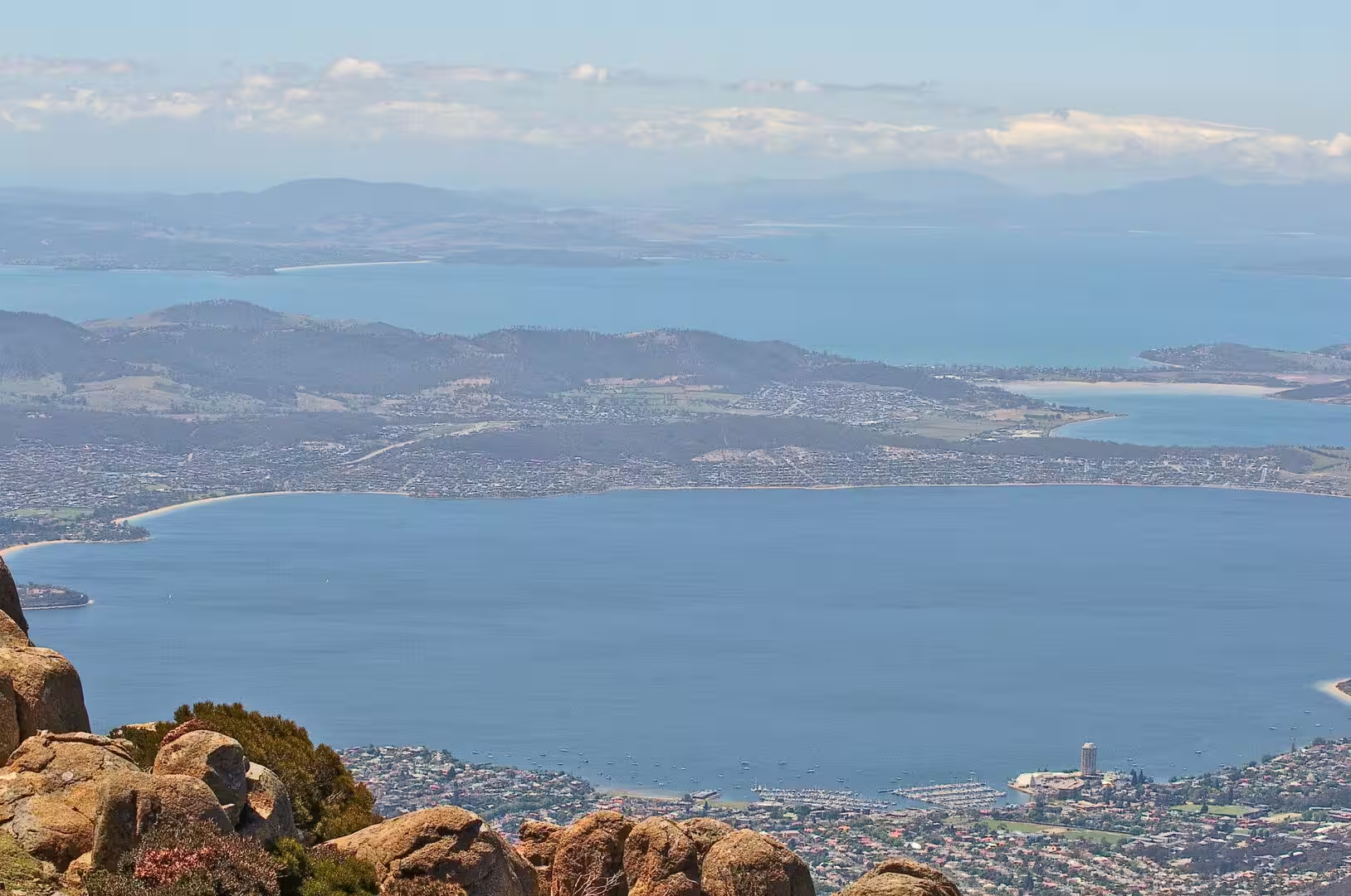
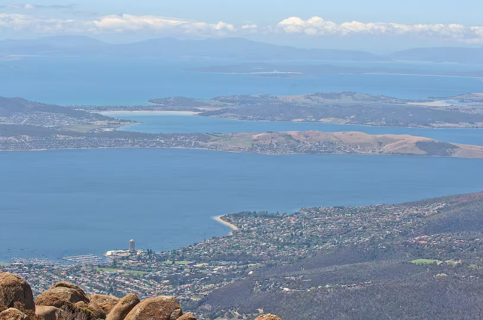
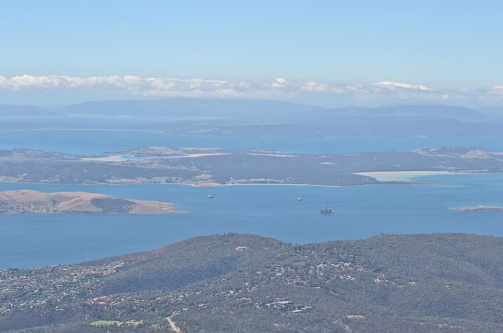
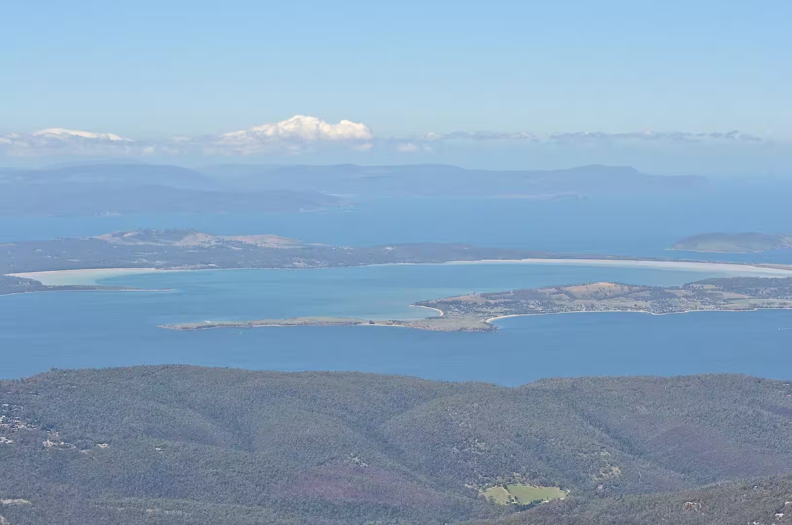
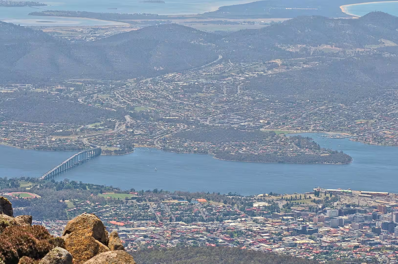
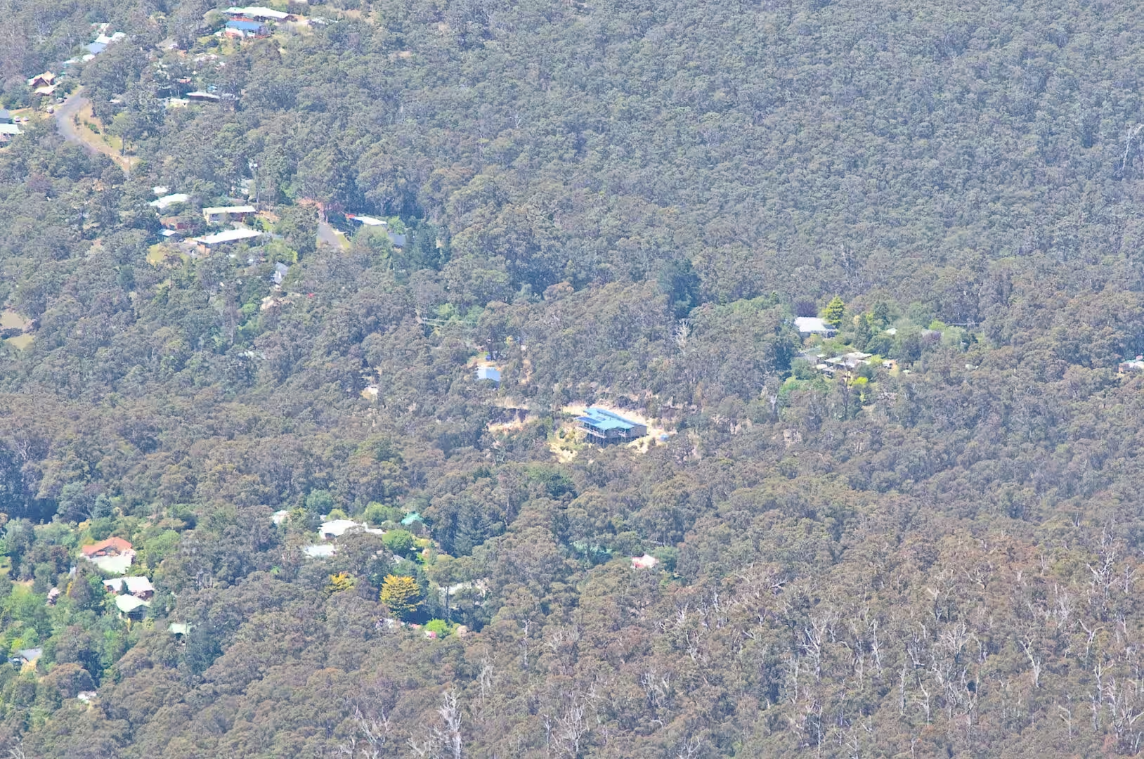
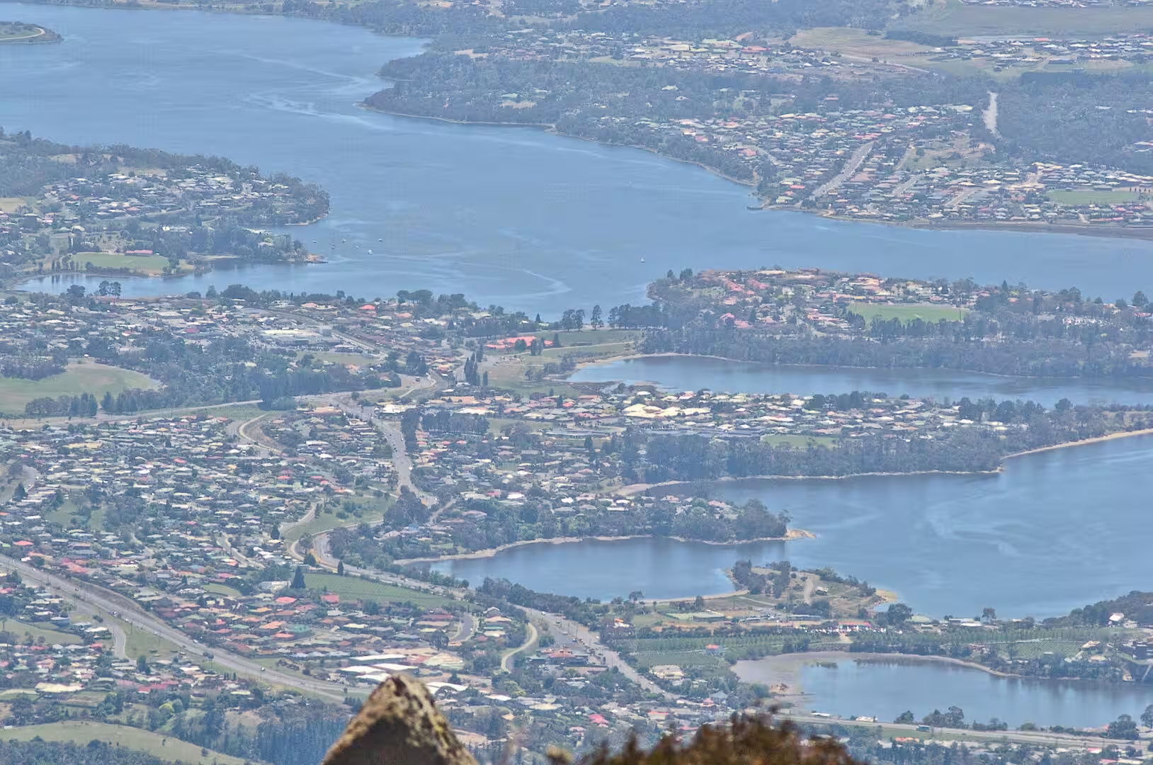
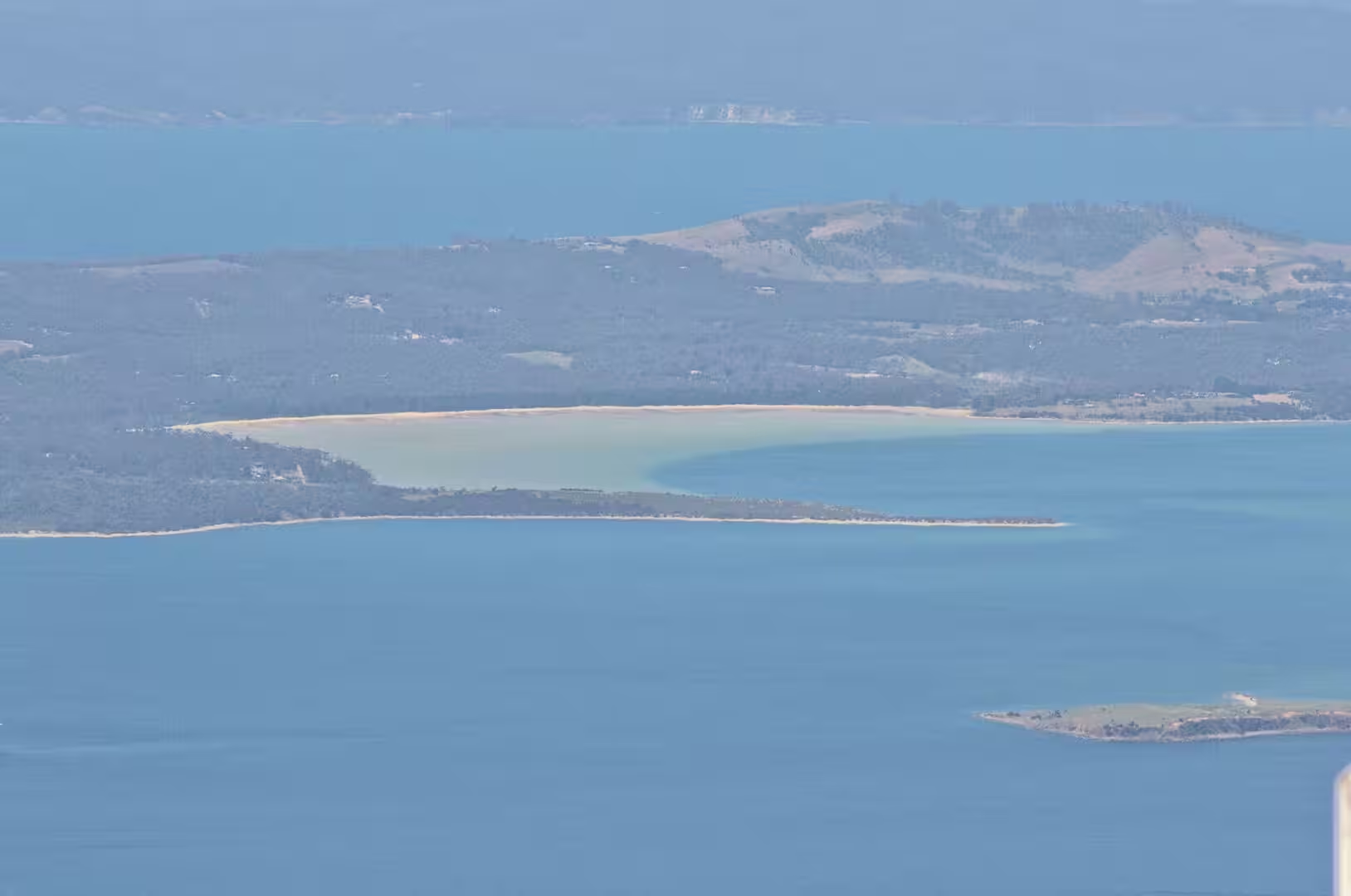
When it opened, the view was of the whole south east of the island at once. The city lies below with its harbour and its suburbs filling the shore of the estuary, the river winds away inland with the hills on both sides, the forests of the lower slopes run down to the water, and on a clear day the mountains of the World Heritage Area show on the horizon nearly a hundred kilometres to the west.
The afternoon was spent coming down into the city. The road returns through the forest to the suburbs and the waterfront, and the day ends among the sandstone warehouses and the fishing boats of the oldest part of Hobart, which is the right way to finish a journey that began on the coast and spent its middle in the mountains.
The first part of the drive is through the suburbs of the city, and the transition from the streets to the forest takes less than ten minutes. The road passes the old quarries and the picnic places of the lower slopes, the gardens thin out, the eucalyptus closes over the road, and the first glimpse of the water below comes through the trees at a bend where the whole of the estuary is suddenly visible. The mountain is a part of the city in a way that few capitals can claim, and the drive up is the proof of it.
History
The mountain has two names and both are official. The palawa kani name is Kunanyi, the traditional name of the country of the Aboriginal Tasmanians, and it has been gazetted alongside the colonial name so that the mountain is now formally Kunanyi Mount Wellington. The European name was given in the first years of the settlement, in honour of the Duke of Wellington, and the doubling of the name is part of the wider return of the older names to the map of the island.
Hobart itself was founded at the foot of the mountain. The first settlement in the area was made at Risdon Cove on the eastern shore in 1803, the main settlement moved to Sullivans Cove on the western side in the following year, and the town that became the capital grew up around the cove and the river. It is the southernmost capital city in Australia, it holds nearly half the population of the island, and it is the least populated of the state capitals, which gives it the character of a small city with a large harbour.
The mountain has been a destination since the early days of the town. The walking tracks up the slopes were cut in the nineteenth century, the springs halfway up became an outing for the families of the town, and the road to the summit was built in the twentieth century so that the view could be reached without the climb. The mountain is the reason the city has the bush on its doorstep, and the reason that a walker can leave a hotel in the morning and be on an alpine plateau by lunchtime.
The city below has been changed by two events in living memory. The Tasman Bridge, which carries the highway across the river, opened in 1965 as the longest prestressed concrete bridge in the country, and on 5 January 1975 it was struck by the bulk ore carrier Lake Illawarra and lost three sections of decking, a disaster that sank the ship, killed twelve people and cut the city in two for two years. The second change was cultural: the Museum of Old and New Art opened at Berriedale in 2011 and made the city a destination for a kind of visitor that had never come before.
Geology
The mountain is built of the same Jurassic dolerite as the cliffs of the Tasman Peninsula and the crags of the central highlands, and it is the best place in the country to see the rock at close range. The Organ Pipes, the cliff of columns on the face above the city, are the edge of a thick sheet of the intrusion, and the columns are the shapes that molten rock takes when it cools slowly and contracts inwards from a surface. The sheets were pushed into the sedimentary layers of the island some 180 million years ago, and everything that has happened since has been the work of removing the softer rock around them.
The foothills have a different and older origin. The ground under the lower slopes and the city was a shallow, cold sea bed for long periods of the geological past, and the sandstones and mudstones that were deposited there were lifted slowly into the air by the same upsurge that raised the whole region. The mountain is therefore two stories in one: a floor of marine sediments pushed up and a lid of igneous rock pushed in, with the softer parts worn away to leave the harder ones standing.
The shapes of the summit are the work of ice and frost rather than of the intrusion. The mountain stood above the glaciers of the ice ages, but it was frozen for long periods, and the freezing and thawing of water in the joints of the dolerite has split the rock into the blocks and boulders that cover the plateau today. The blockfields and the patterned ground of the top are the products of that process, and the same process is still at work every winter.
The alpine vegetation of the summit is part of the smallest and most special plant community of the island. Tasmania has around a hundred and twelve thousand hectares of alpine and subalpine country, about two per cent of its area, and it holds more than half of all the alpine habitat in Australia, which is why the plants and the animals of these mountains are studied so closely. The vegetation of the slopes above the tree line is a mosaic of heath, tussock, cushion plants and bare rock, and it is adapted to wind, snow and a short season rather than to cold alone, which is what makes it different from the alpine country of Europe and New Zealand.
One more feature of the rock is worth looking for on the way down. The dolerite of the upper slopes breaks into columns and blocks, but the edges of the sheets, where the molten rock met the cold sediment around it, were chilled quickly and form a finer, tougher rock. That boundary is visible in the cuttings beside the road, and it is the reason the mountain stands up at all: the hard edge of the intrusion has resisted the weather that has worn the softer country around it back to the sea.
Things to See
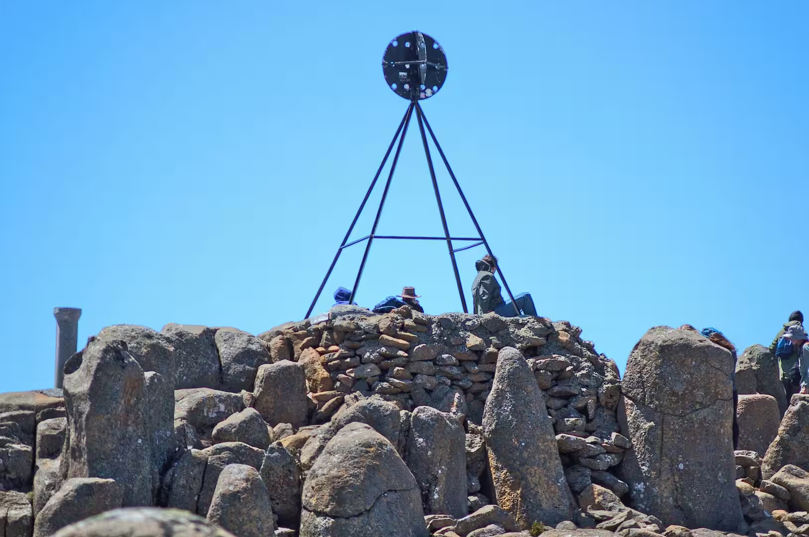
The summit is the first place to go and the easiest. The lookout near the top is enclosed, the platform and the cairn with the steel marker are a short walk from the car park, and the view takes in the city, the estuary, the river valley and the forests of the slopes at once. The weather is the only complication: the mountain can be in cloud while the city is clear, the wind at the top is often strong enough to make walking difficult, and the road is occasionally closed by snow or ice in the winter.
The walking tracks are the alternative to the road and the better way to see the mountain. The track along the Organ Pipes crosses the cliff below the columns, the routes from the Springs climb through the forest and the heath to the summit, and the longer trails along the ridge connect the mountain with the country to the west. The tracks are well marked and close to the city, and the walk from the Springs to the top is one of the classic half days of the state.
The city below is worth the rest of the day. The waterfront around Sullivans Cove has the warehouses, the wharves and the fishing boats of the old port, Battery Point behind it keeps its colonial streets and cottages intact, and the market halls and the pubs of Salamanca Place occupy the old warehouses between the two. The Museum of Old and New Art is a short drive up the river and is a half day on its own, and the ferry that runs to it from the harbour is part of the experience.
The wildlife of the mountain is the wildlife of the city edge. The pademelons and the wallabies graze the slopes in the evening, the possums and the quolls are in the forest below the summit, the ravens and the currawongs are the large birds of the picnic areas and the smaller honeyeaters are in the heath, and the tracks close to the suburbs are the easiest place in the state to see a wild marsupial within half an hour of a hotel bed.
The practicalities of the last day are the practicalities of the mountain. The road to the summit is narrow and has a number of hairpin bends, the temperature at the top is usually ten degrees lower than in the city and the wind makes it feel colder, and a warm layer and a waterproof belong in the bag even on a warm morning. The bus runs from the city in the season, the cafe at the Springs is open through the day, and the summit is at its most atmospheric in the hour before sunset and in the early morning cloud.
The journey of which this day was the end had covered the south east of the island in five stages: the convict coast of the Tasman Peninsula, the alpine plateau of Mount Field, the rainforest and its waterfalls, the farming valley of the Derwent, and the mountain above the capital. It is a small part of Tasmania and a fair sample of it, and the mountain at the end of it is the place from which the whole of that country can be seen at once.
References
- Wikipedia contributors (2026). Mount Wellington (Tasmania). en.wikipedia.org/wiki/Mount%20Wellington%20%28Tasmania%29
- Wikipedia contributors (2026). Hobart. en.wikipedia.org/wiki/Hobart
- Wikipedia contributors (2026). Tasman Bridge. en.wikipedia.org/wiki/Tasman%20Bridge
- Wikipedia contributors (2026). Sullivans Cove. en.wikipedia.org/wiki/Sullivans%20Cove
- Wikipedia contributors (2026). Derwent River (Tasmania). en.wikipedia.org/wiki/Derwent%20River%20%28Tasmania%29
- Wikipedia contributors (2026). Museum of Old and New Art. en.wikipedia.org/wiki/Museum%20of%20Old%20and%20New%20Art
- Wikipedia contributors (2026). Alpine vegetation of Tasmania. en.wikipedia.org/wiki/Alpine%20vegetation%20of%20Tasmania
- Wikipedia contributors (2026). Battery Point, Tasmania. en.wikipedia.org/wiki/Battery%20Point%2C%20Tasmania
- Wikipedia contributors (2026). Sandy Bay, Tasmania. en.wikipedia.org/wiki/Sandy%20Bay%2C%20Tasmania
- Wikipedia contributors (2026). Mount Nelson, Tasmania. en.wikipedia.org/wiki/Mount%20Nelson%2C%20Tasmania
- Wikipedia contributors (2026). Tasmania. en.wikipedia.org/wiki/Tasmania
- Kirkpatrick J.B., Bridle K.L., Wild A.S. (2002) Succession after fire in alpine vegetation on Mount Wellington, Tasmania. Australian Journal of Botany. 50. 145-154. doi.org/10.1071/bt00081
- Claudino-Sales V. (2018) Tasmanian Wilderness, Australia. Coastal Research Library. 309-314. doi.org/10.1007/978-94-024-1528-5_45
- Russell J., Jambrecina M. (2002) Wilderness and Cultural Landscapes: Shifting management emphases in the Tasmanian Wilderness World Heritage Area. Australian Geographer. 33. 125-139. doi.org/10.1080/00049180220150963
- Kirkpatrick J., Styger J., Marsden-Smedley J. (2018) Impact of changes in lightning fire incidence on the values of the Tasmanian wilderness world heritage area. Papers and Proceedings of the Royal Society of Tasmania. 152. 27-32. doi.org/10.26749/rstpp.152.27