2021 Italy - Grande Traversata delle Alpi (GTA) - I
30 August 2021


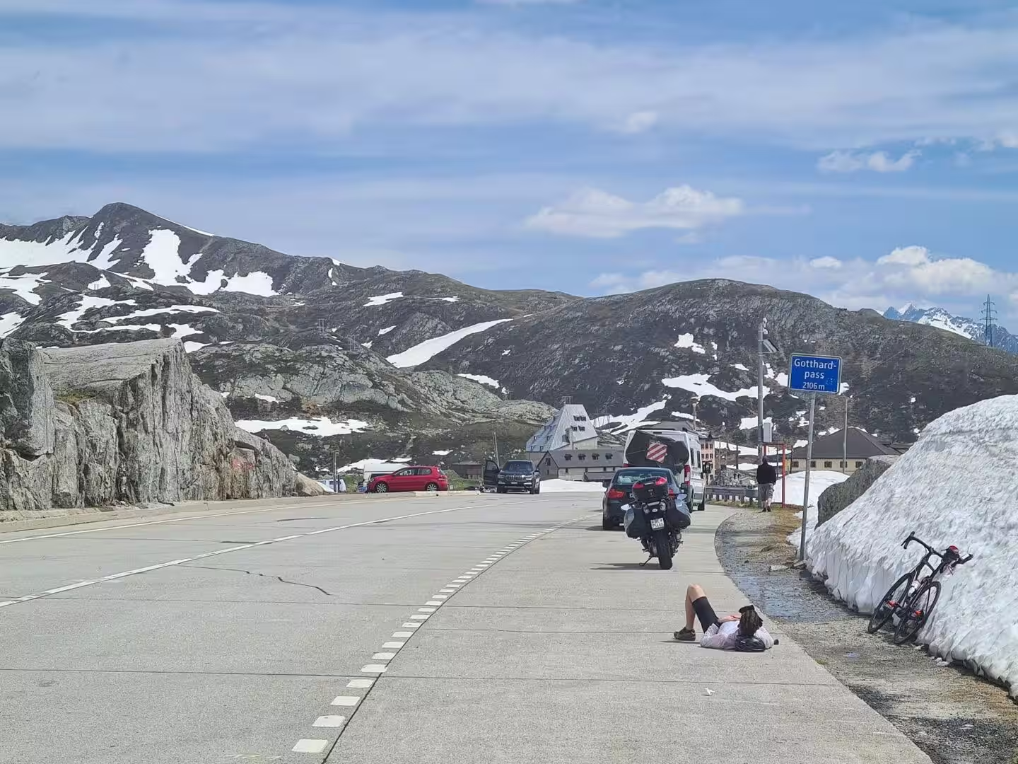


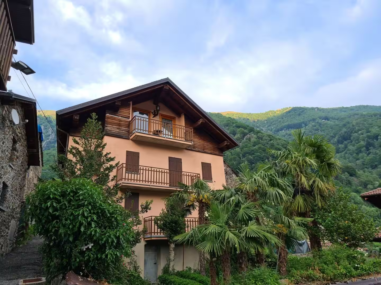

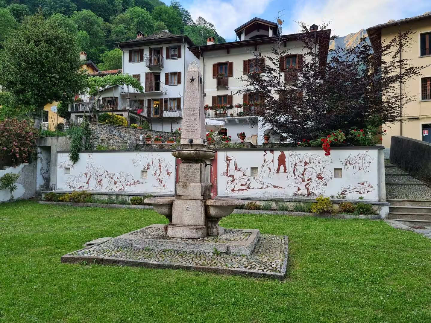
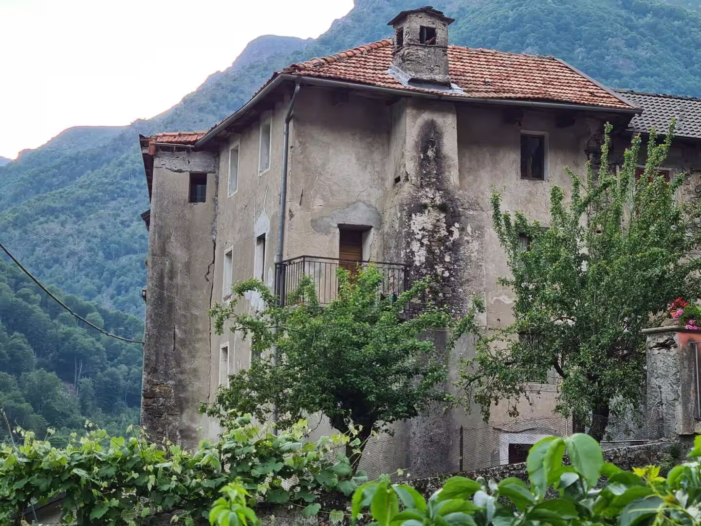



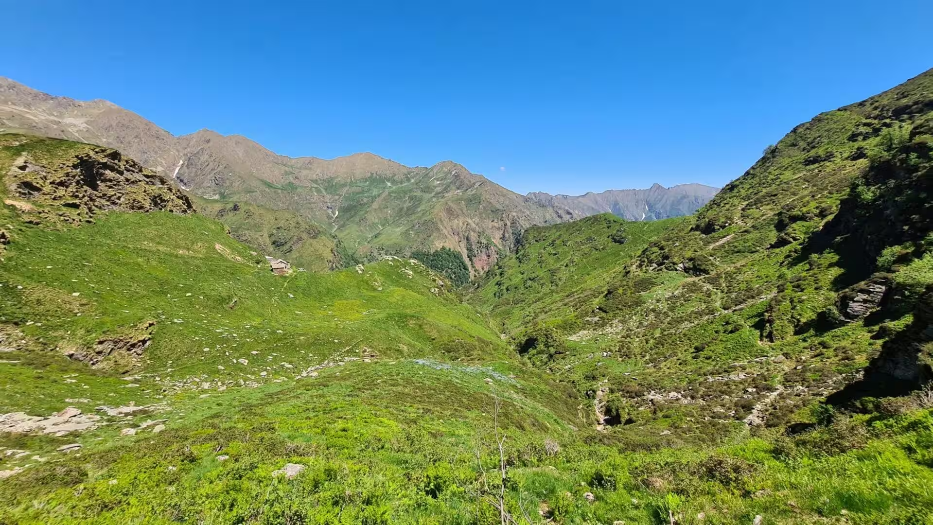
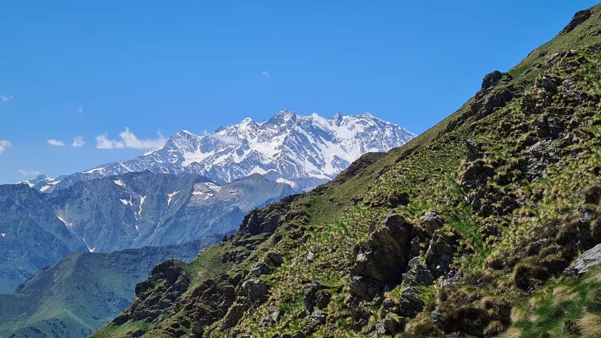

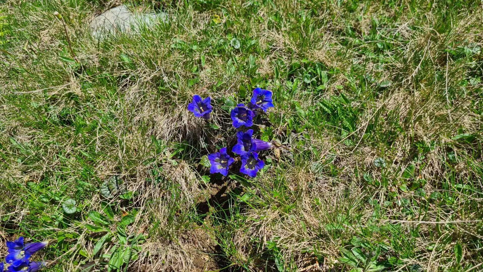

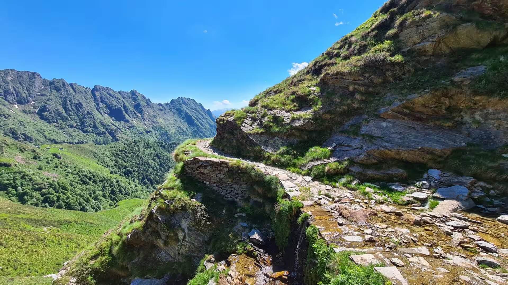













Journal Notes
General
The Grande Traversata delle Alpi is a long-distance trail of about 1,000 kilometres in roughly 55 day stages, following the arc that the western Alps describe through Piedmont. It runs from the Pennine Alps through the Graian and Cottian ranges to the Maritime and Ligurian Alps, linking the transverse valleys of the region by the historic passes that once connected their communities. The route begins at Molini di Calasca in the Valle Anzasca, ends at Viozene in the Ormea area and reaches its lowest point, 295 metres, at Quincinetto.
Piedmont is the second largest region of Italy, with 25,387 square kilometres and about 4,255,000 inhabitants, and its name comes from the medieval Latin ad pedem montium, at the foot of the mountains. It borders France to the west and Switzerland to the north, the Aosta Valley in the north-west, Lombardy and Emilia-Romagna to the east and Liguria to the south, and it holds the southern side of the Alps from the Ligurian range to Monte Rosa.
The GTA crosses one valley after another: the Anzasca, Valsesia, the Chiusella and Soana valleys, the Lanzo valleys, the Susa valley and then, south of it, the Chisone, Germanasca, Pellice, Varaita, Maira, Grana, Stura di Demonte, Gesso and Vermenagna valleys. Each of them had its own language. The Valsesia has been settled by Walser since the Middle Ages, Arpitan was spoken in the Lanzo valleys, Piedmontese in the lower Susa valley, and Occitan south of the Susa valley; Italian spread only during the First World War.
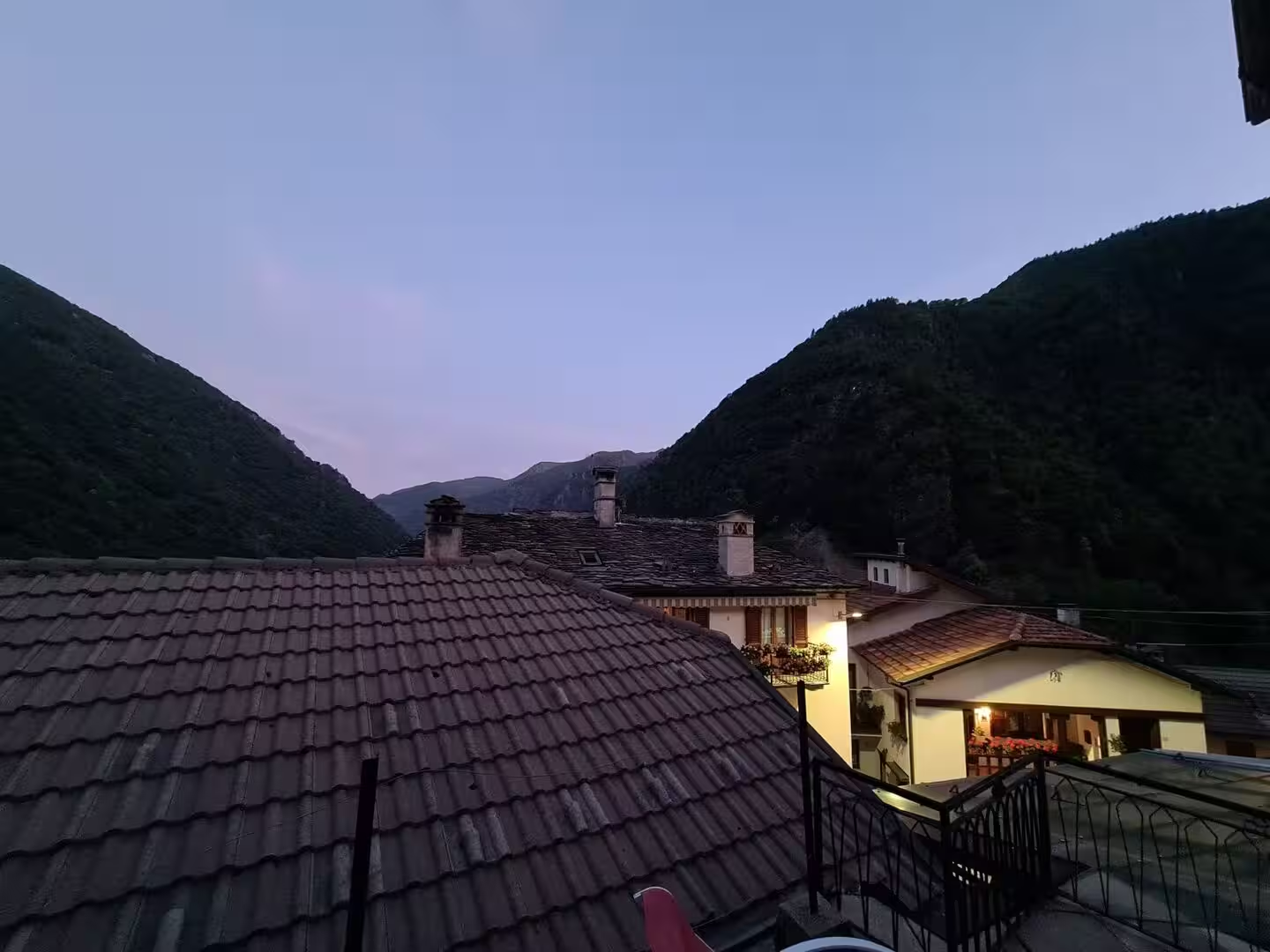
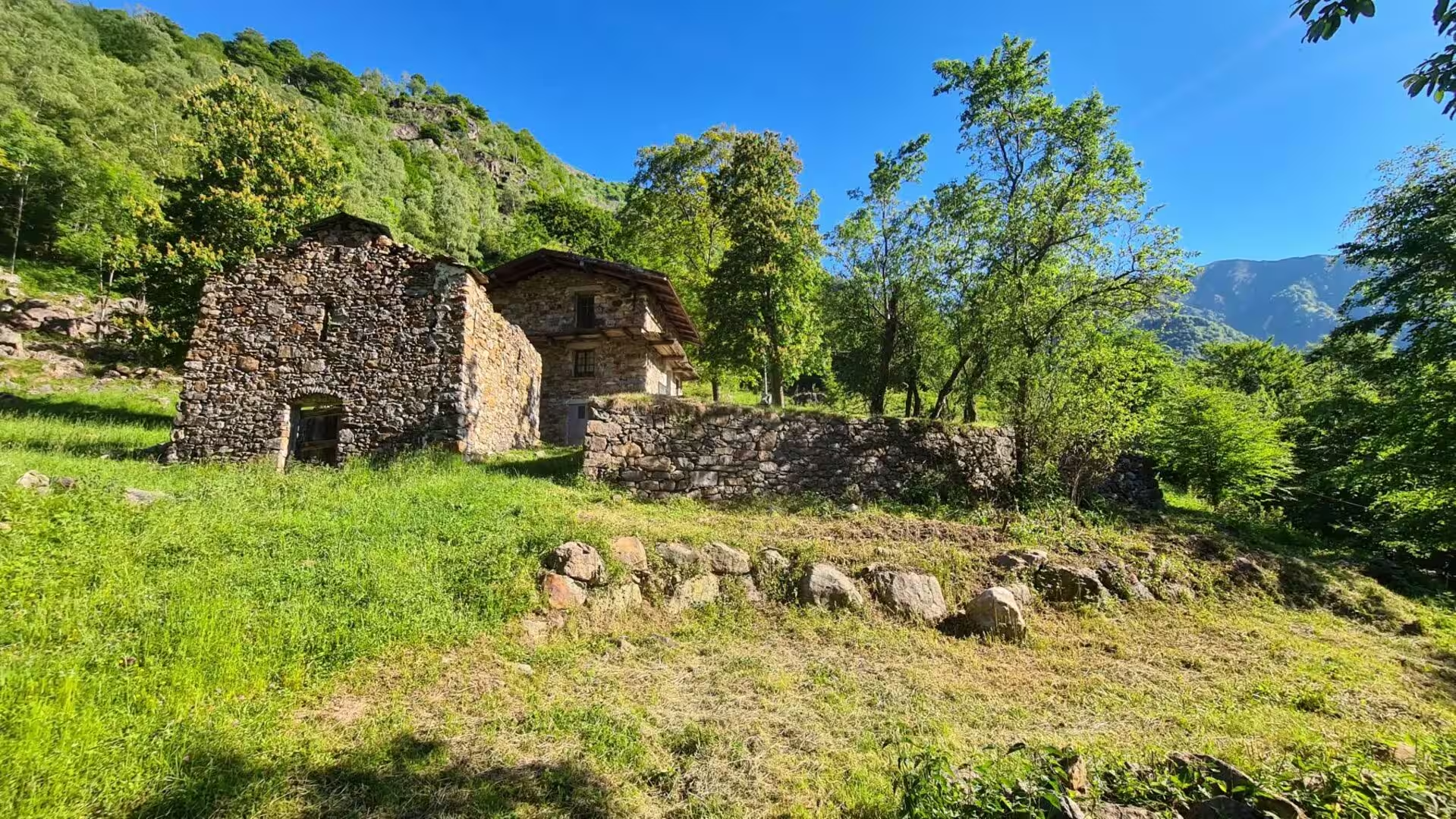
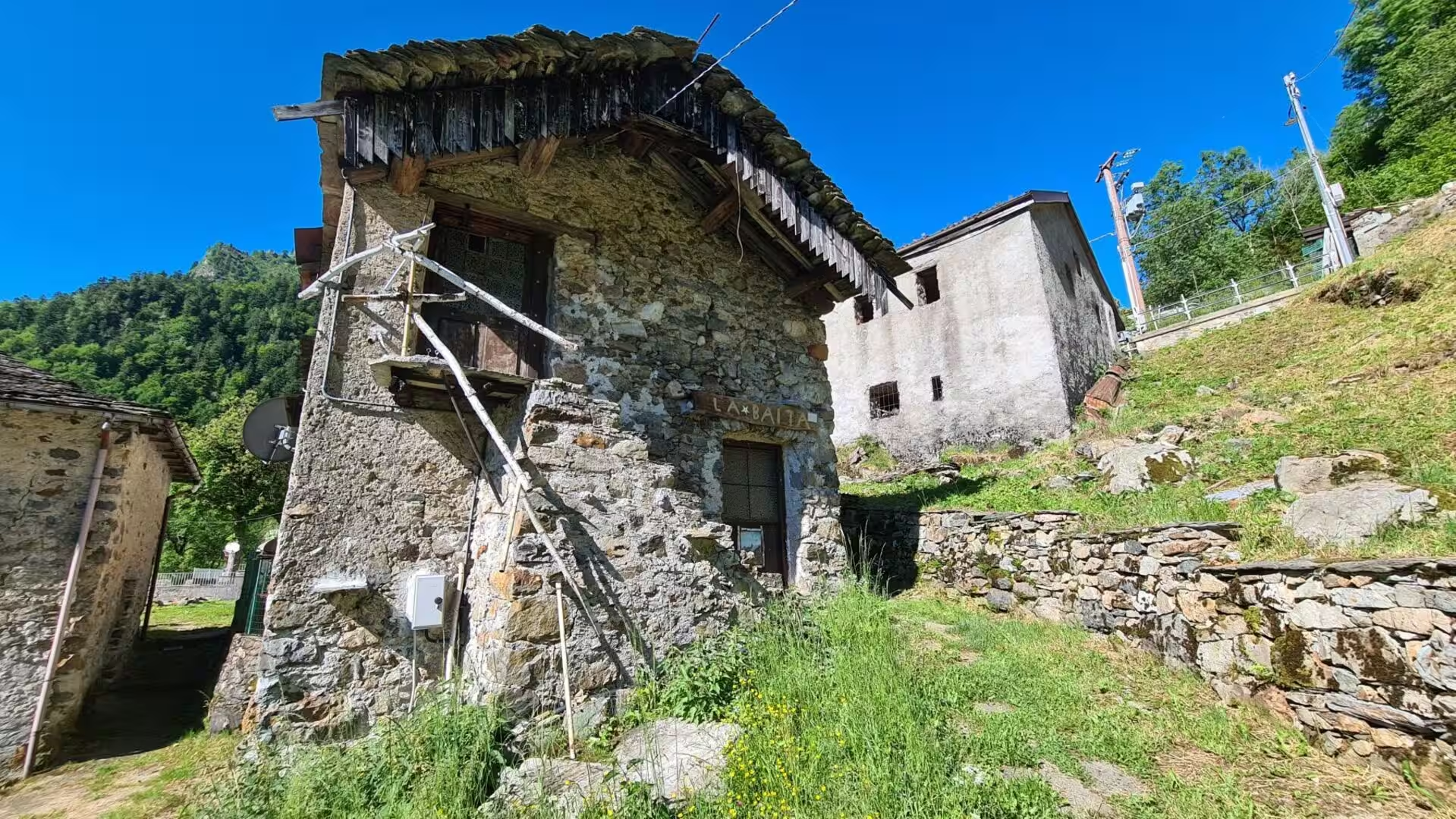
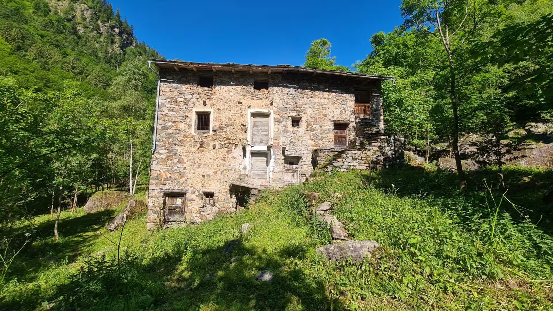
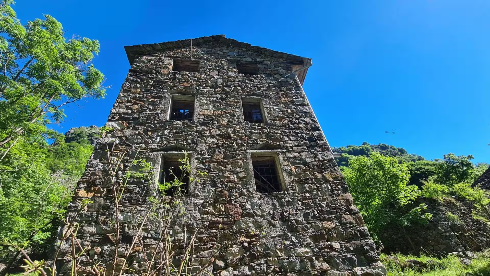
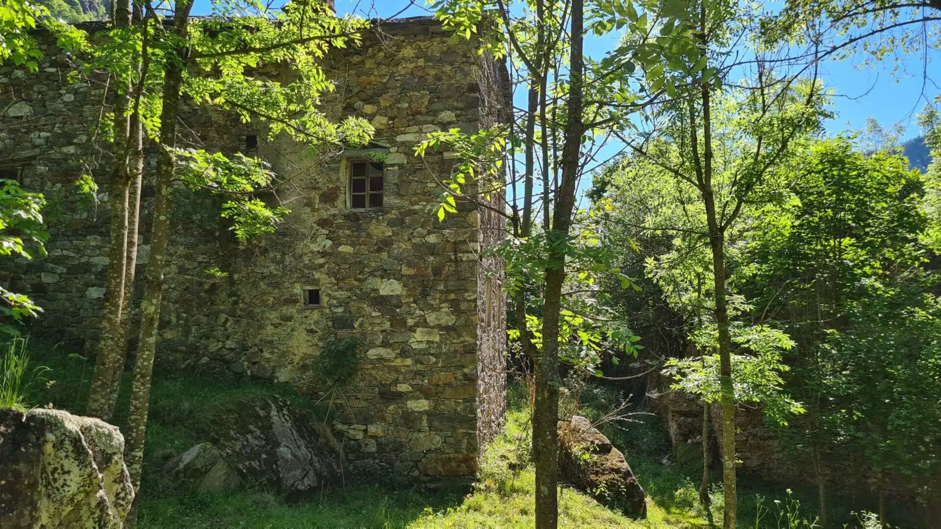
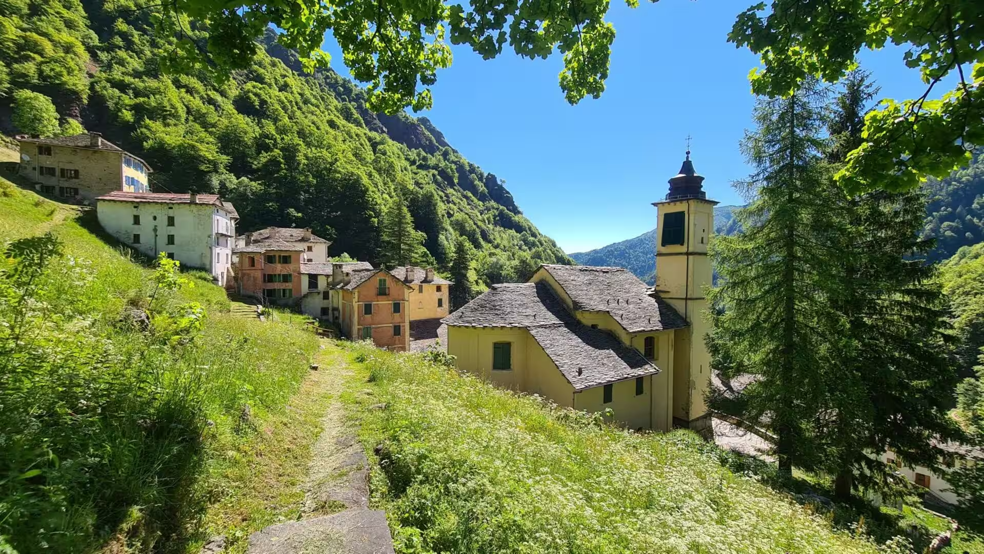
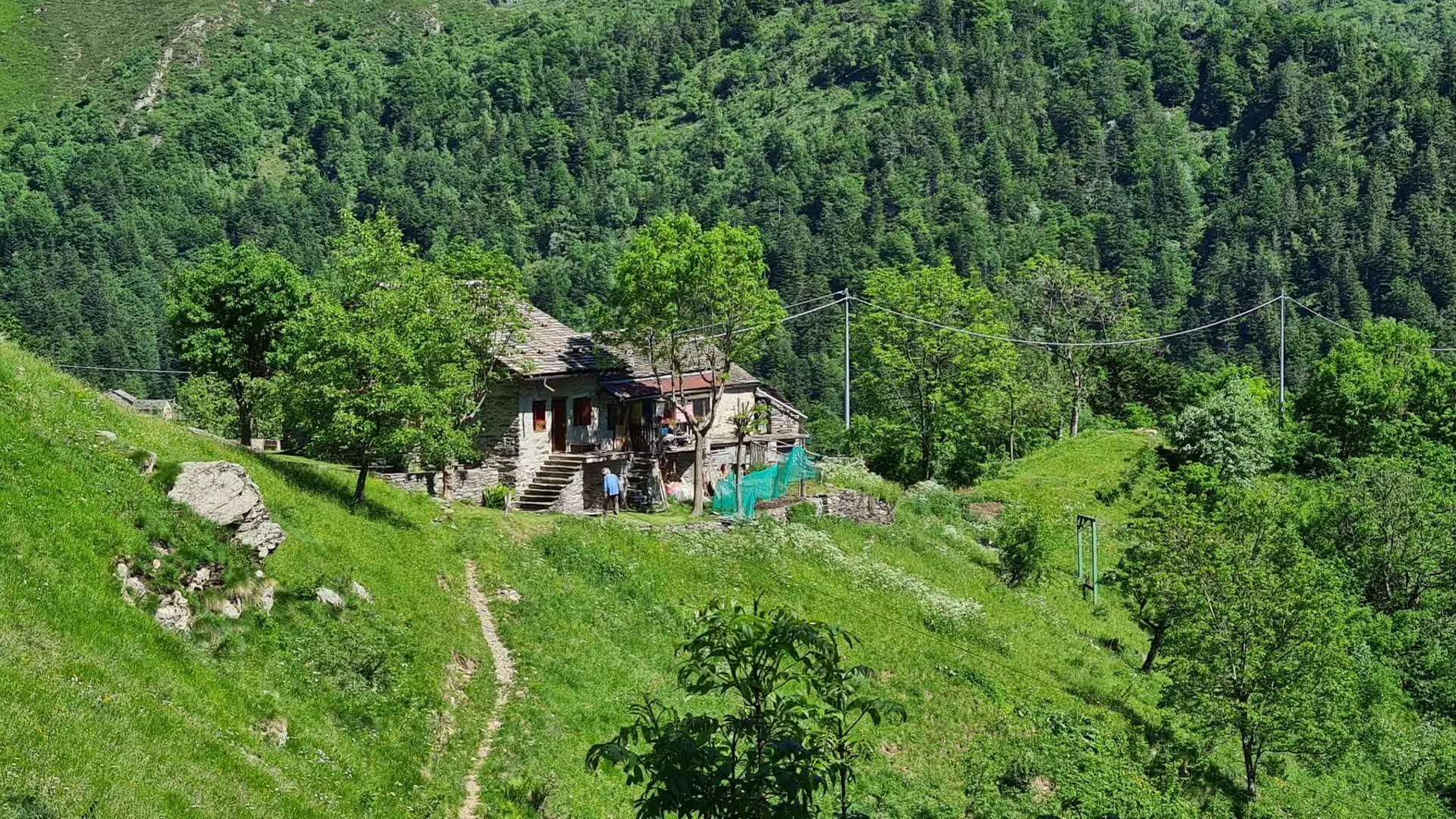
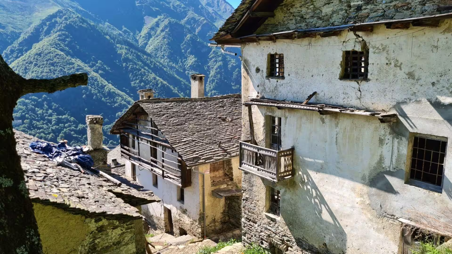
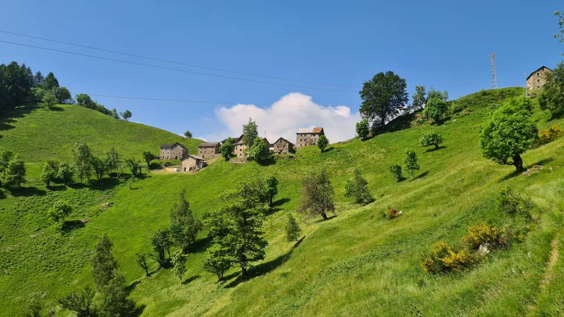
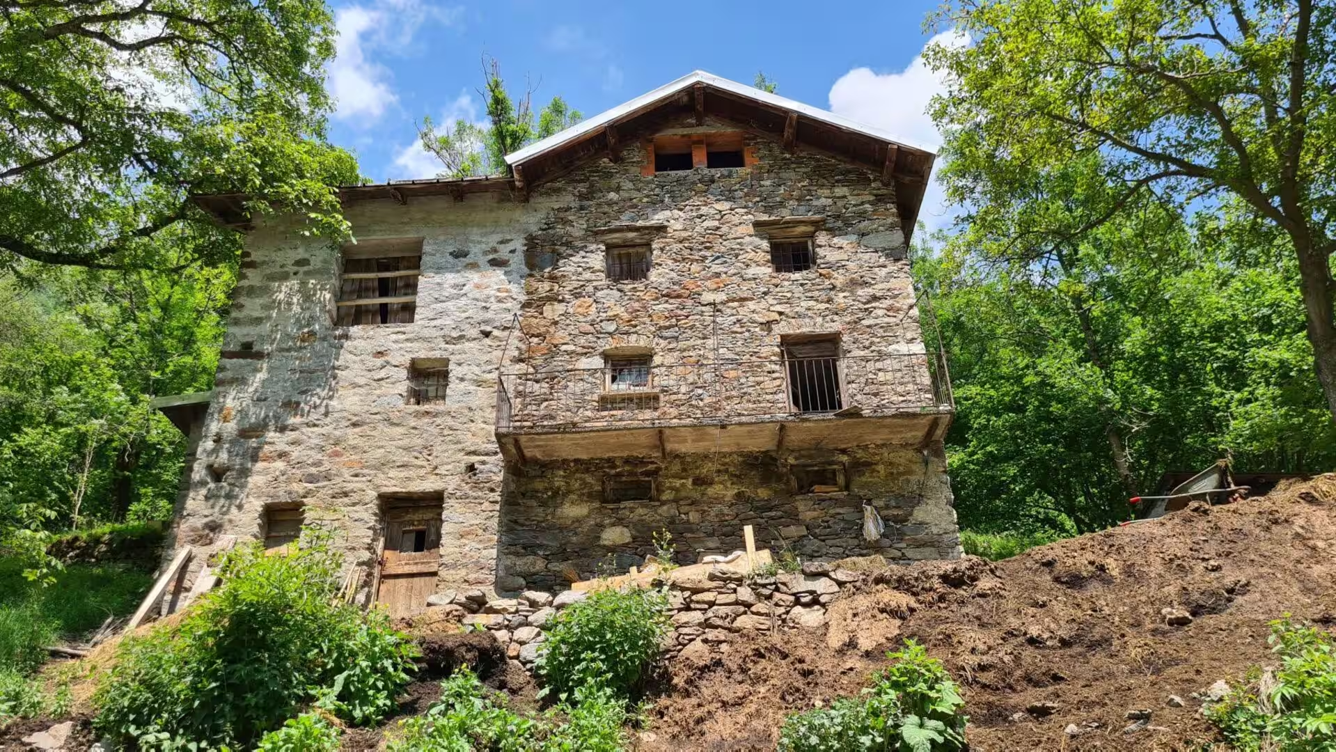
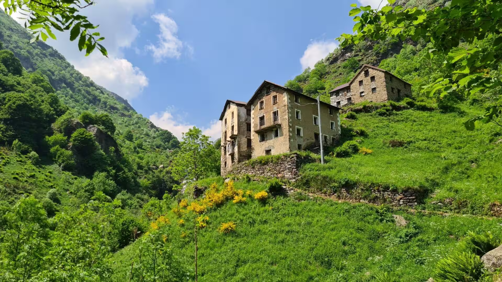
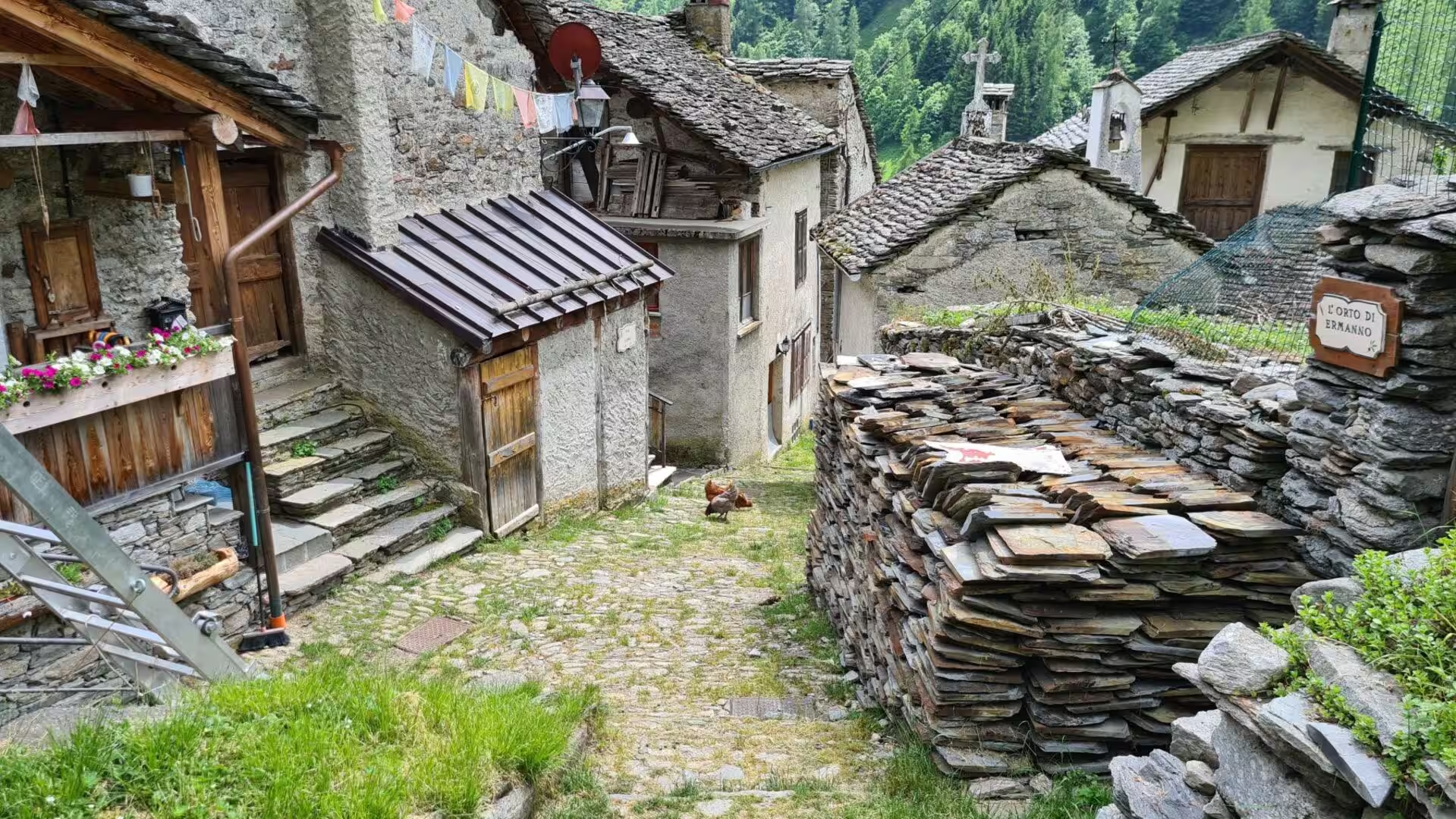
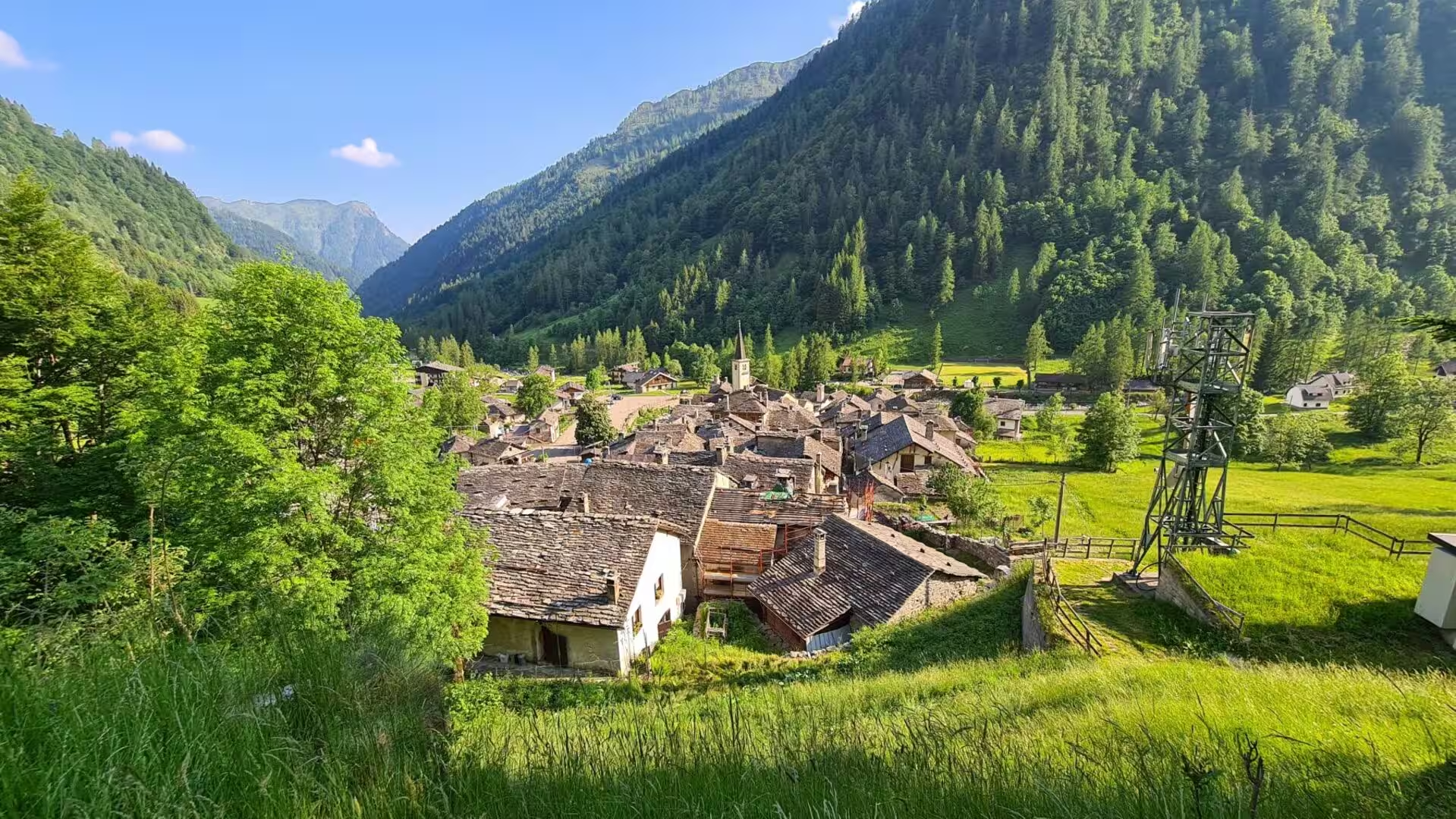
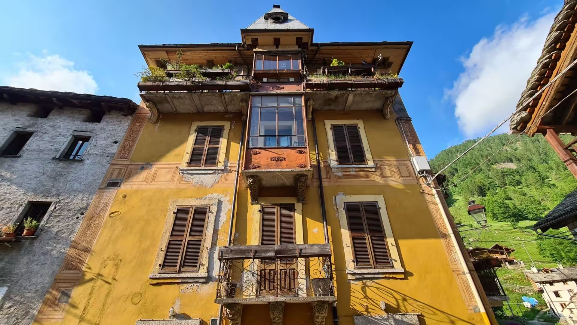
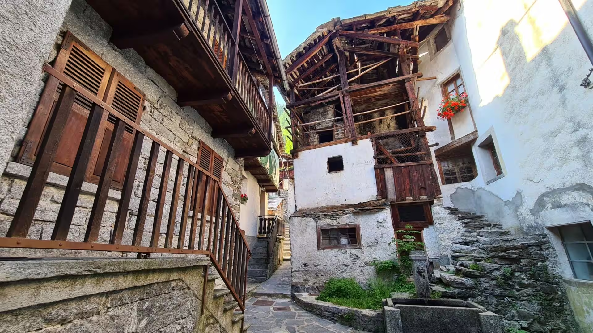
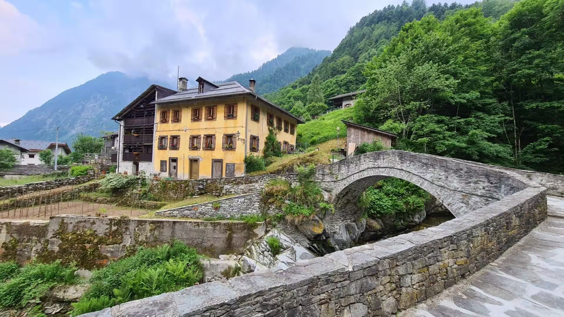
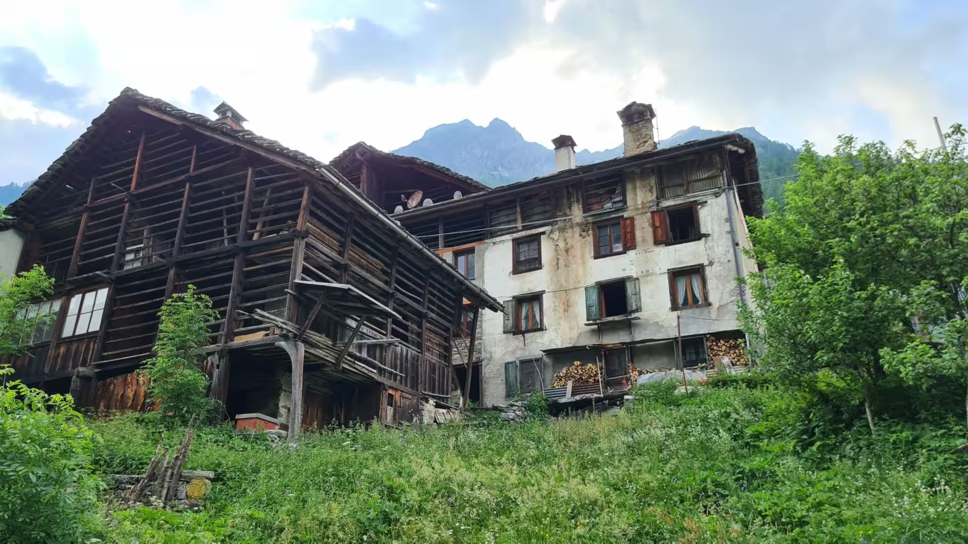
The landscape the trail crosses was cultivated and densely populated until the twentieth century, . The valleys of the GTA lost about 80 per cent of their population between 1870 and 2000, and the upper communities between 90 and 95 per cent; hamlets that once held a hundred people are down to one or two elderly residents, and the heirs of the old families return as summer visitors while most houses fall into disrepair. The trail often follows the old mule paths, the mulattiere, and passes chestnut woods destroyed by a blight in the nineteenth century, and terraces and boundary walls remain above the villages.
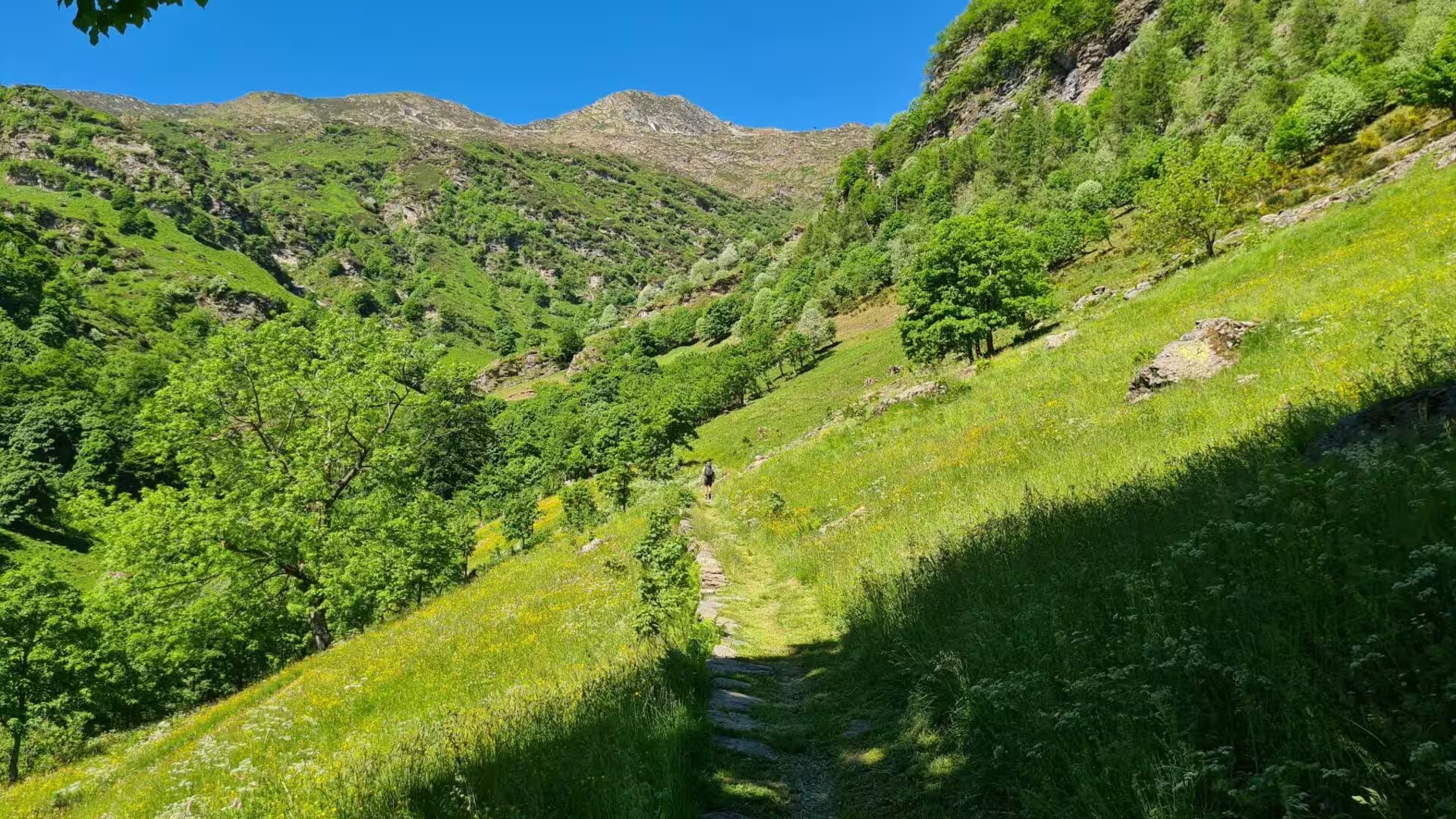
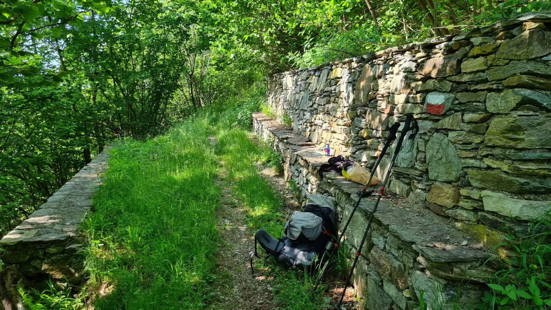
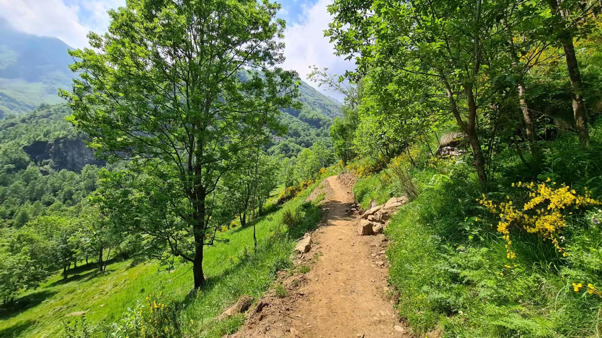
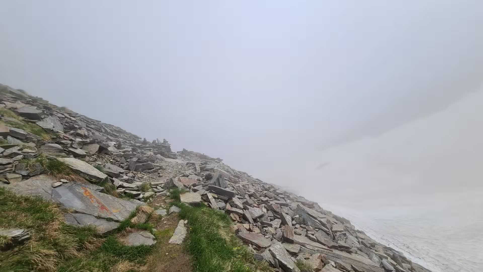
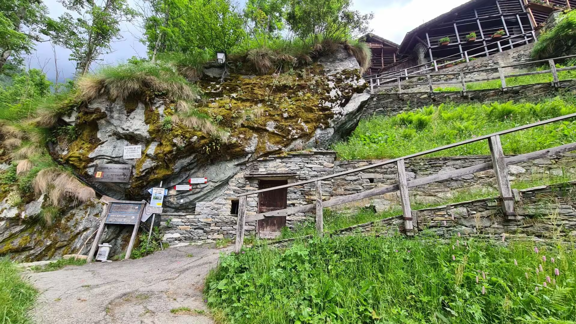
Walking the GTA is unlike walking an engineered long-distance path. It is usually free of snow from the end of June, it holds no technical difficulty, but its marking is irregular: red and white signs, some of them carrying GTA or SI, and stretches shared with the Sentiero Italia and the Via Alpina. A typical day climbs and descends between 600 and 1,200 metres, and in the northern part some stages are long. The accommodation is the posto tappa, a guesthouse or farm marked with the red and white GTA flag, usually with half board, ranging from a dormitory in an old school building to a room in a private house. About 1,000 long-distance walkers use the route each season, most of them from German-speaking countries, .
History
The Alps were a corridor long before they were a recreation ground. In the first century BC the kingdom of Cottius held the passes between Italy and Gaul, and Augustus made an alliance with the Segusini so that a road could be built through the Susa valley and over the Montgenèvre; the son and grandson of Cottius ruled as client kings until the emperor Claudius gave Marcus Julius Cottius II the title of king, and on his death Nero annexed the territory as the province of Alpes Cottiae. Turin, the Roman Augusta Taurinorum, and Ivrea, Eporedia, became the two colonies of the plain, and the roads over the central Alps carried the traffic of the empire.
In the Middle Ages the same roads carried pilgrims. The Via Francigena, the road from Canterbury through France and Switzerland to Rome and on to the ports of Apulia, crossed the Alps here,. Above the Susa valley stands the Sacra di San Michele, the abbey on Mount Pirchiriano whose crypt was built in the late tenth century and whose history was written by a monk of the house in the eleventh; it is entitled the symbolic monument of Piedmont and served Umberto Eco as one of the models for The Name of the Rose. South of the mountains the marquisate of Saluzzo held the country between the Alps, the Po and the Stura from 1142 until 1548.
The passes were fortified when they became a frontier. The Fenestrelle fortress, built for the House of Savoy between 1728 and 1850 to the designs of Ignazio Bertola, guards the road to Turin through the Chisone valley: it is the largest alpine fortification in Europe, covering 130 hectares between about 1,100 and 1,800 metres of altitude. In the Stura di Demonte valley the Forte Albertino at Vinadio did the same duty further south, and above it, at roughly 2,000 metres, the sanctuary of Sant’Anna di Vinadio is the highest place of Christian worship in Europe.
The twentieth century emptied the valleys and then began to bring people back. The First World War turned the mountain communities into border country and changed their languages; the Waldensian valleys, the Chisone, Germanasca and Pellice, kept a religious minority of their own; the Resistance operated in these mountains after 1943; and the decades after 1945 took the young away to Turin and the factories, leaving the terraces to the forest. The rivers were dammed for hydroelectricity, and new small plants are still disputed in the valleys. Walking tourism has become the most recent use of the paths.
The GTA is a child of the 1970s. It grew out of a similar trail established in France around 1970, and in the middle of that decade a group of Turin mountain enthusiasts, gathered around the Rivista della Montagna and the Libreria della Montagna, set out to trace a long-distance route along the whole Piedmontese arc. The volunteers formed the Associazione GTA, organised the overnight accommodation and marked the paths, and public money followed. The route had its boom as early as 1979, with up to 300 overnight hikers on a single section in a season, and since 1985 Werner Bätzing has presented it in the German-speaking world as an example of environmentally friendly tourism.
Geology
The western Alps that the GTA traverses are the product of the collision of the African and Apulian plates with Eurasia, . Most of the rocks along the route belong to the Penninic nappes, the stack with the highest grade of metamorphism in the Alps, made of ophiolites and deep-sea sediments that were deposited between the two plates and then buried, folded and metamorphosed into serpentinite, phyllite, schist and amphibolite. Above and beside them lie the great European-derived massifs such as Monte Rosa and the Dent Blanche nappe, a fragment of Africa carried far to the north.
The Piedmont zone is the signature of the inner side of the arc: a belt of meta-ophiolites, the remains of the ocean floor of the Tethys and the Valais ocean, which now form the green and dark rocks of the middle slopes. In the upper Viù valley, one of the Lanzo valleys, the internal Piedmont zone shows its full structural evolution, and the meta-ophiolite units of the western Alps have been dated to establish when they were exhumed from depth. Near Monte Viso the same rocks include jadeitite, a stone formed under high pressure and long quarried in the Alps for axes and ornaments.
The Ivrea zone, north of Turin on the inner side of the chain, is a steeply dipping slice of the lower continental crust of the Apulian plate that was uplifted and stripped of its cover by erosion, so that granulites, marbles and mafic intrusions formed twenty kilometres down now stand at the surface. Bodies of mantle peridotite lie within it, and the geophysical data show the mantle unusually close beneath them. Together with the Penninic nappes and the ophiolite belt, the zone makes the Piedmont Alps one of the best places in Europe to read a mountain chain from the inside.
The shapes of the valleys are the work of ice and water. Cirques, moraines and U-shaped troughs record the glaciers of the last cold period, and the higher massifs still carry ice: the Gran Paradiso, at 4,061 metres the highest mountain entirely in Italy, rises in the middle of its national park, and Monte Viso, the highest peak of the Cottian Alps, is known as il Re di Pietra, the Stone King, because it stands some 500 metres above everything around it. It was declared a cross-border UNESCO biosphere reserve in 2013, and at its foot, at the Pian del Re at 2,020 metres, the Po begins its course as the longest river in Italy.
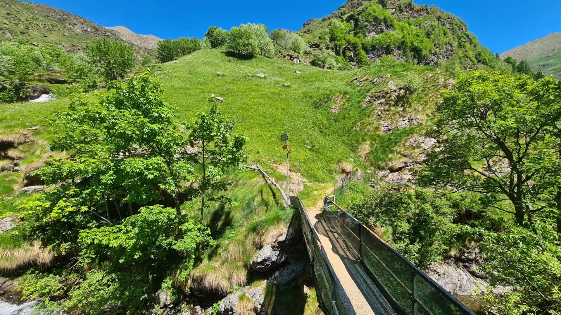
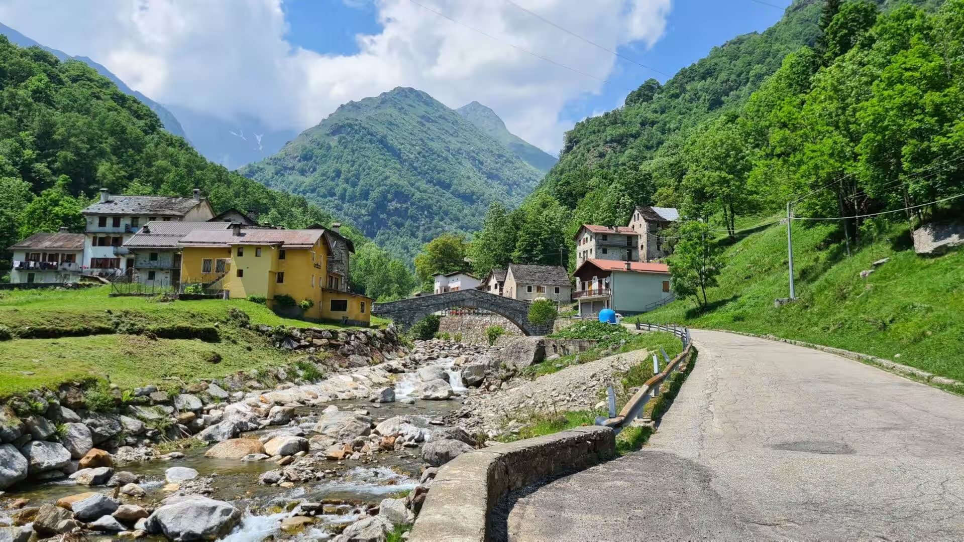
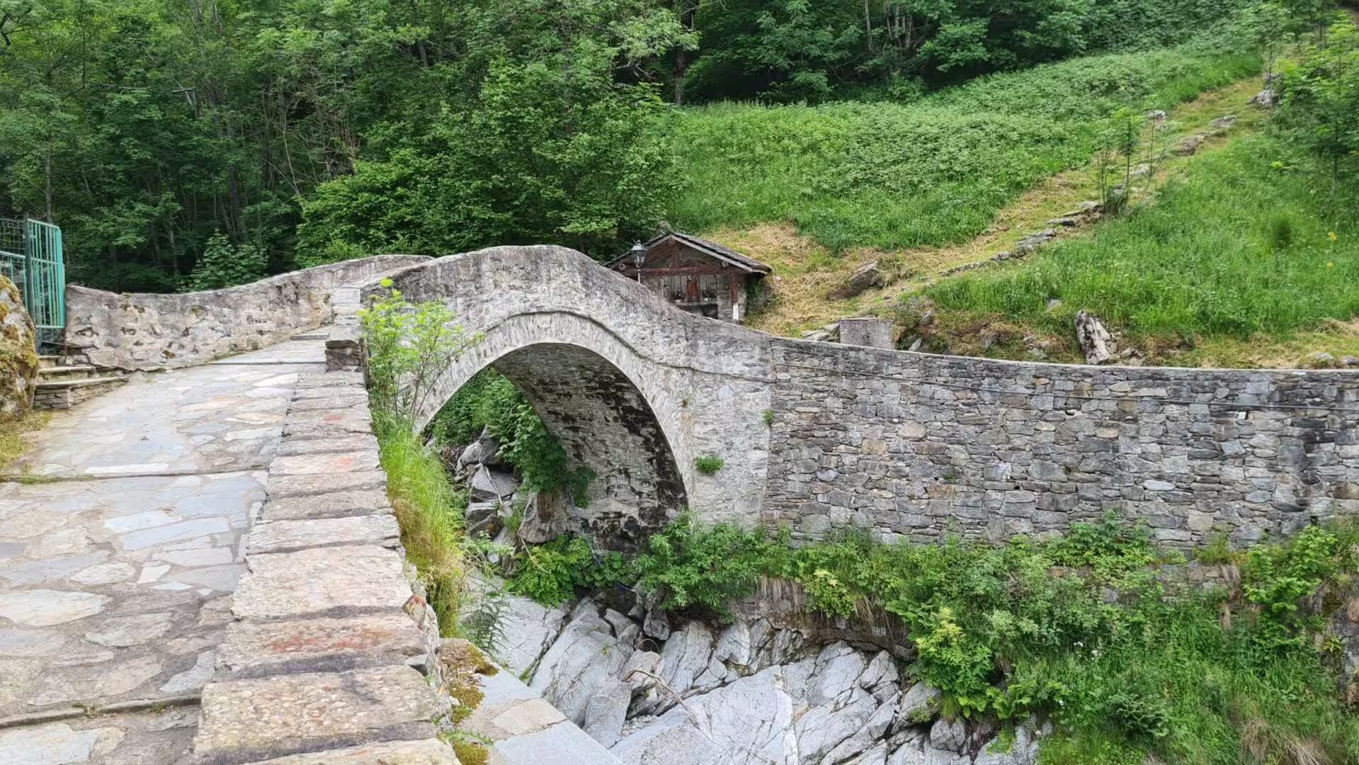
The mountains are still active, and the trail crosses ground that moves. The inner Cottian Alps are seismically monitored because the faults of the chain run through them, and the valleys carry the evidence of landslides, rockfalls and floods, with stone bridges at the crossings that the torrents have spared. Rainfall in these mountains is heavy, and research in the summer pastures of the Piedmontese Alps has shown how much of it seeps away at shallow depth instead of running off. Above the tree line the larch takes over from the broadleaved forest, and the chestnut woods of the lower slopes, once managed for flour and timber, are still recovering from the blight of the nineteenth century.
Things to See
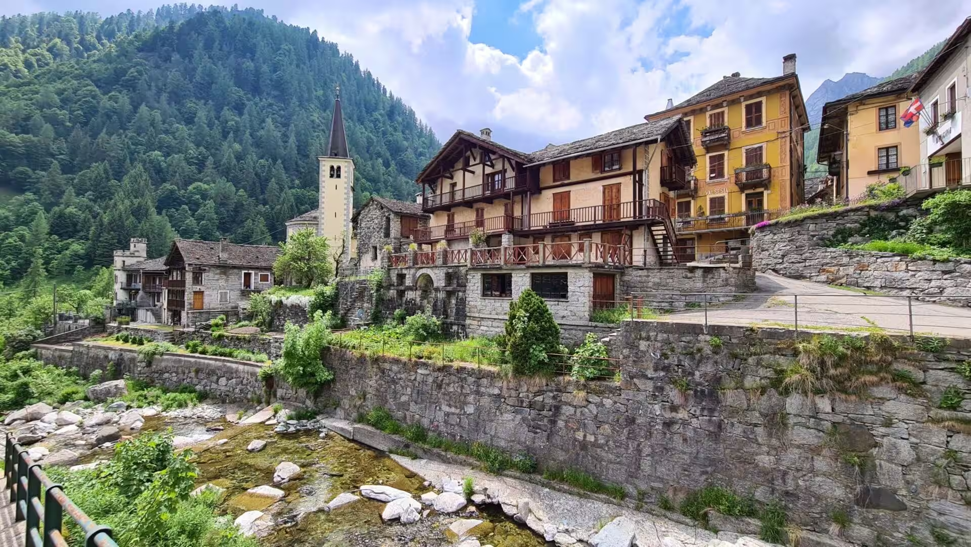
The northern end of the GTA begins in the Pennine Alps on the eastern side of Piedmont. The route starts at Molini di Calasca in the Valle Anzasca, climbs to the Alpe del Lago and over the Colle dell’Usciolo into the Valstrona, and continues over the Bocchetta di Campello to Rimella and Santa Maria di Fobello, two villages of Walser origin in the upper Sesia. Further south the Colle d’Egua, at 2,239 metres, and the Colle del Termo, at 2,351 metres, lead to Carcoforo and Rima, and the path passes below Monte Rosa to Alagna and the Val Vogna. The villages here are built of stone and timber against the snow.
From Valsesia the route turns south into the Biella Alps and over the Santuario di Oropa, a pilgrimage church at 1,180 metres, then across the Colle della Colma and down to San Giovanni d’Andorno. Beyond it the ridge of the Colle della Lace leads to the lowest point of the whole traverse, the railway station of Quincinetto at 295 metres, where the Dora Baltea leaves the Aosta Valley and enters the plain.
The Graian Alps follow, and with them the valleys north of Turin. The trail crosses the Val Chiusella over the Bocchetta delle Oche, at 2,415 metres, and the Val Soana past Ronco Canavese, then the Ribordone and the Alpe di Colla, before it reaches the three Lanzo valleys of Viù, Ala and Grande. Above them stands the Gran Paradiso National Park, Italy’s first national park, created in 1922 from a royal hunting reserve to save the Alpine ibex, and the paths that were laid out for the animals a century ago are now part of the walking network.
The Susa Valley is the midpoint of the route, reached after 26 sections, and it is where the trail meets the oldest traffic of the Alps. The Via Francigena comes over the Mont Cenis and descends through Susa, and above the valley the Sacra di San Michele stands on its rock with the village clustered below it. On the other side of the valley the Fenestrelle fortress climbs the mountainside above the Chisone, a wall of stone and stairs that was built to stop an army and now takes visitors instead. Both the Fréjus rail tunnel and the road tunnel run beneath this ground to Modane.
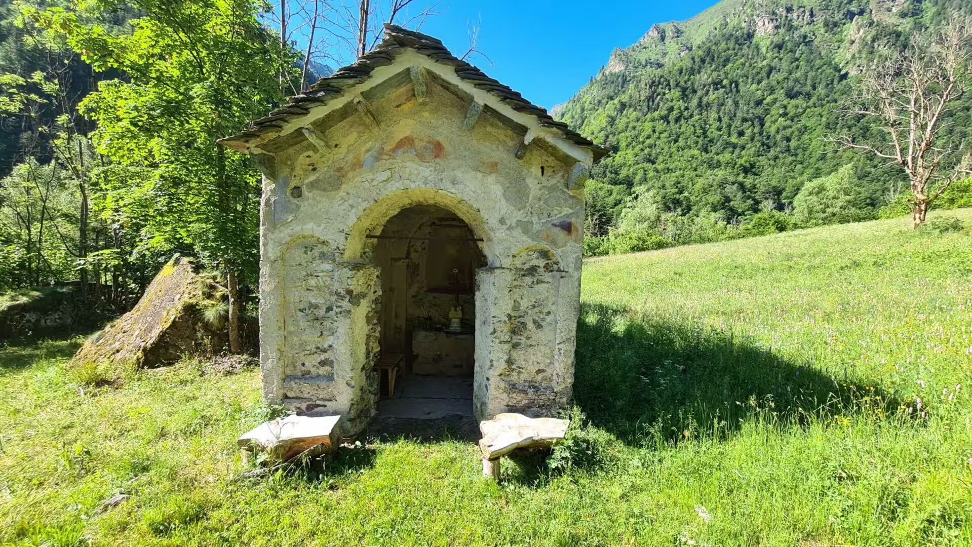
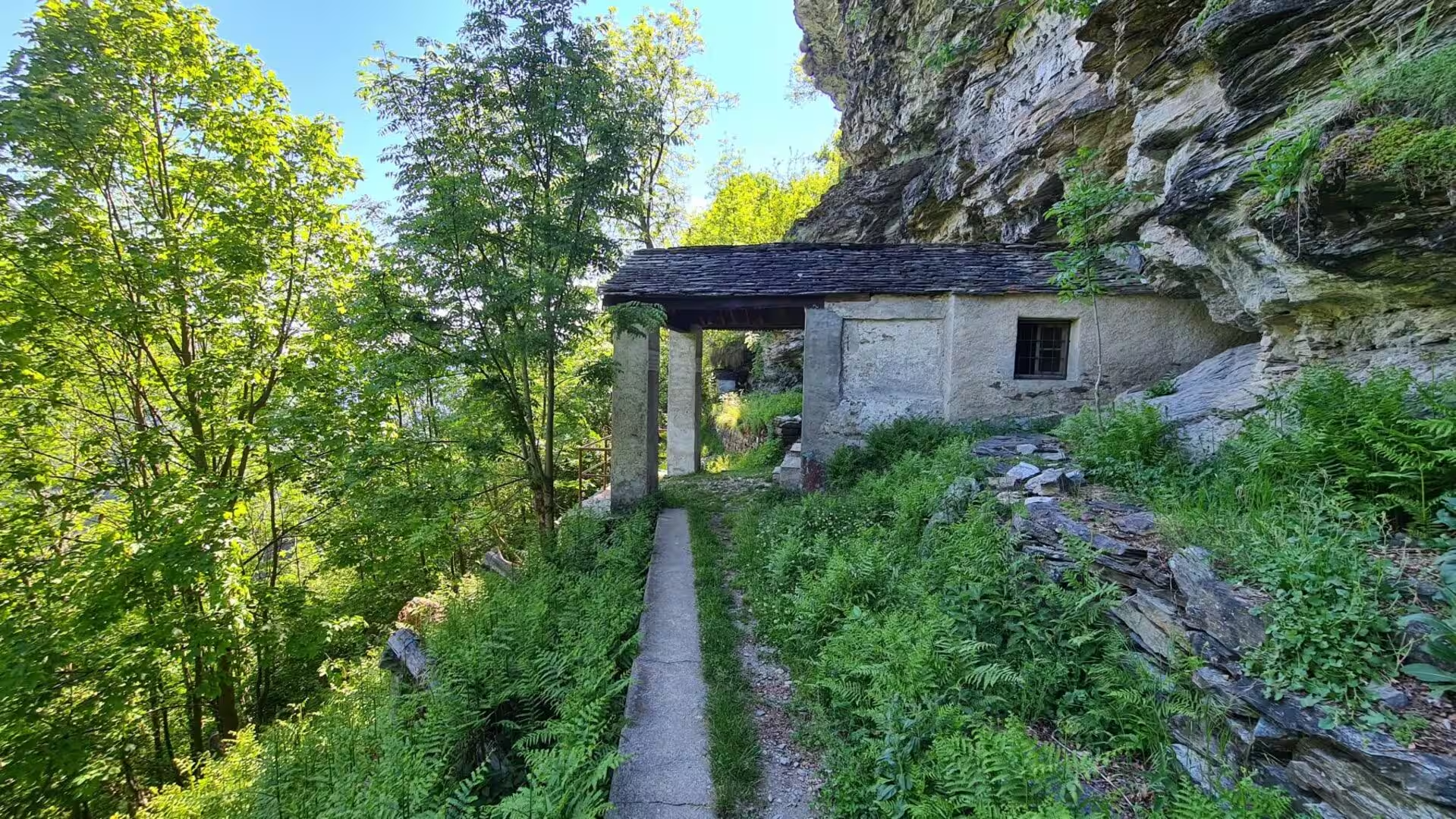
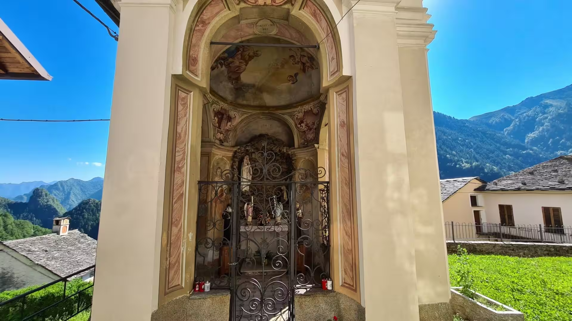
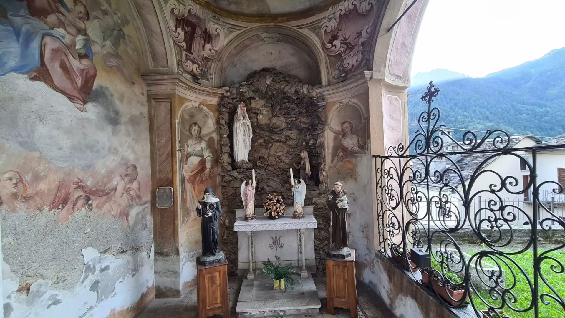
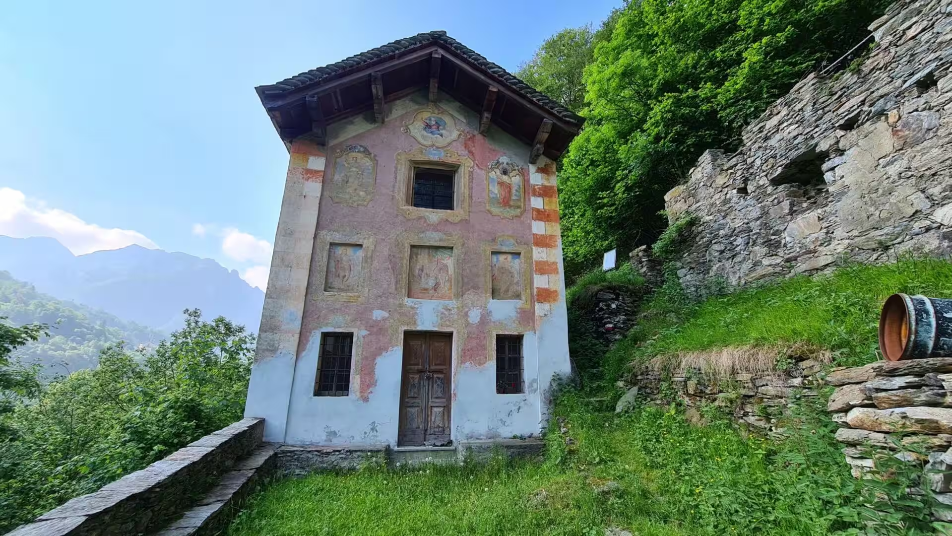
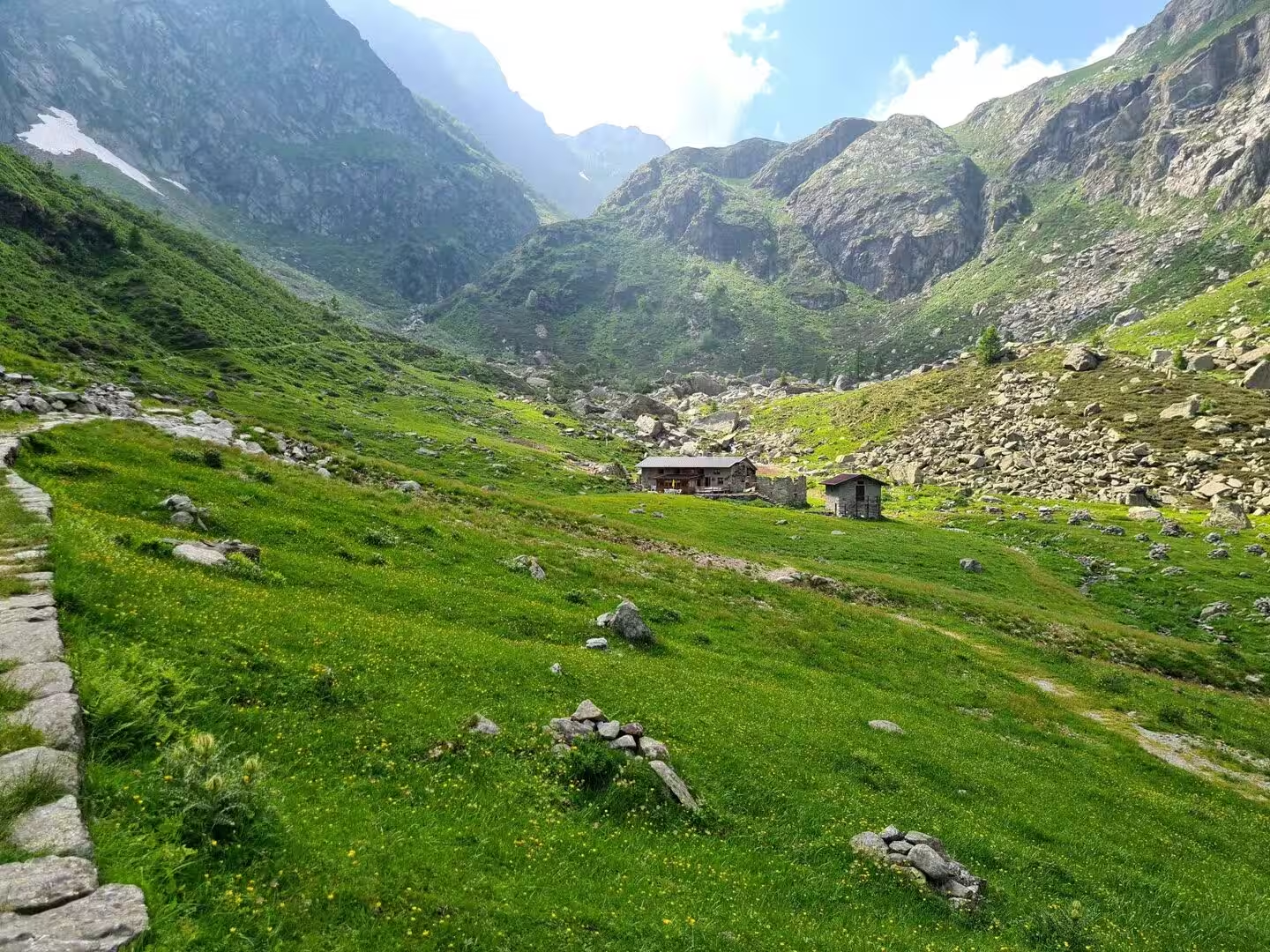
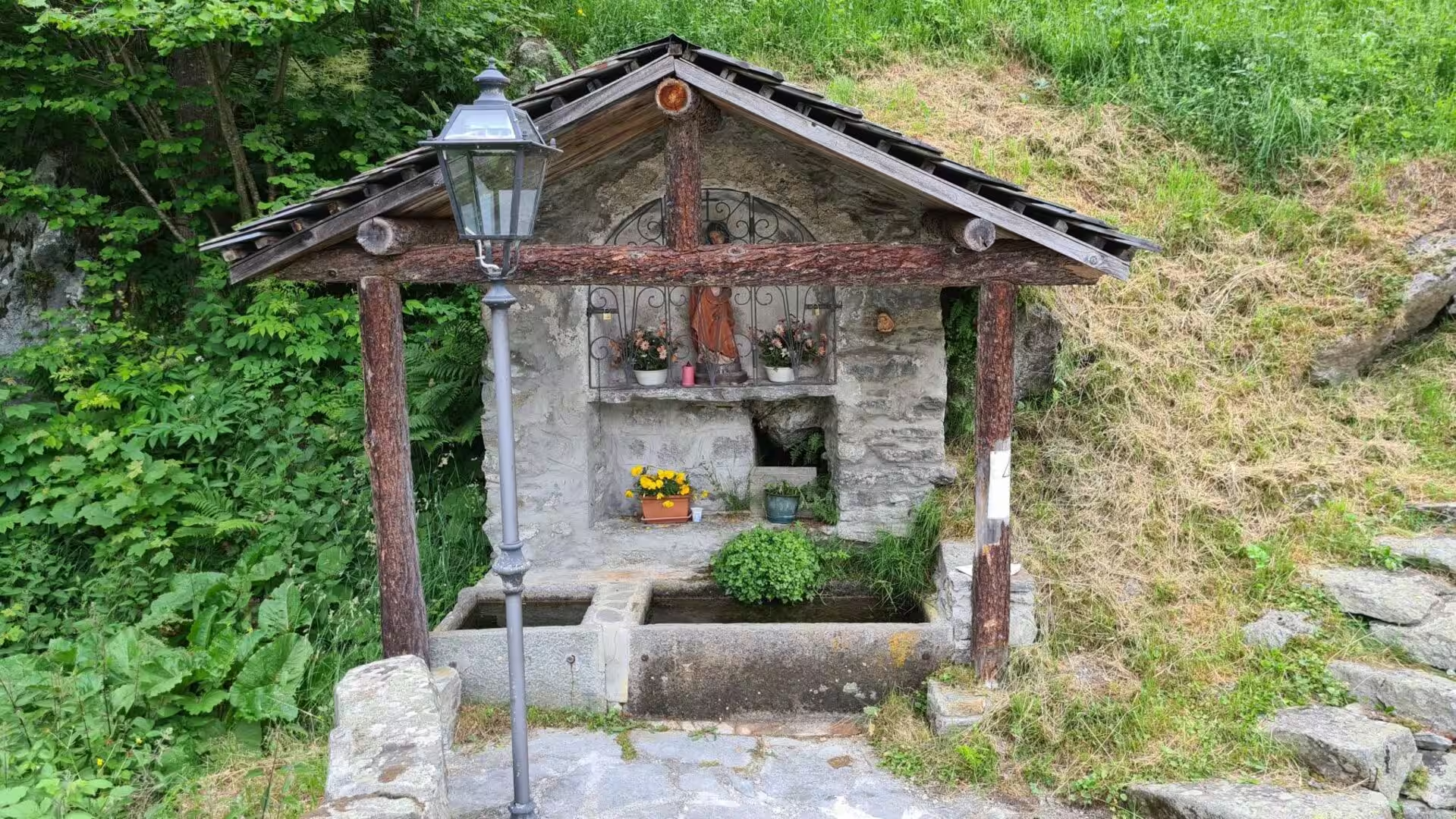
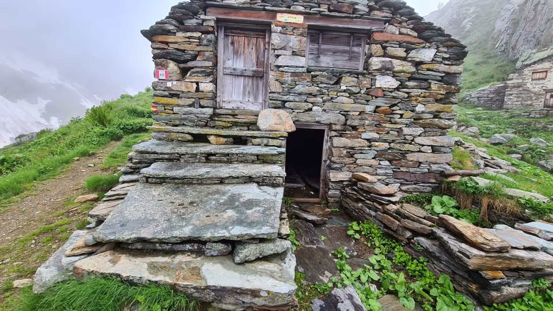
South of the Susa Valley the country changes character. The route crosses the Chisone, Germanasca and Pellice valleys, the three Waldensian valleys, where the churches are plain and the history is one of dissent and persecution, and then the Po valley above its source. The Monte Viso bypass uses two huts of the Club Alpino Italiano, The marks of the old economy are everywhere: stone barns with slab roofs, dry walls along the terraces, chapels and wayside shrines with faded frescoes at the bends of the mule paths.
The southern valleys are Occitan in name and in memory. Vinadio is Vinai and Castelmagno is Chastèlmanh, and the sanctuary of San Magno above Castelmagno, at 1,761 metres, is the patron of the valley . The cheese that carries the name of the village is made in the high pastures of the Grana valley from the milk of a few cows, and it is one of the mountain products that have been given a protected designation in the European Union, . The Maira valley has become the laboratory of a new mountain population, in which newcomers and returning families rebuild a life on the old terraces.
On the Stura di Demonte the trail passes Demonte and the Forte Albertino at Vinadio, a fortress of the Kingdom of Sardinia, and above the village the sanctuary of Sant’Anna di Vinadio stands at about 2,000 metres. Beyond the Colle della Maddalena the Gesso and Vermenagna valleys lead towards the Maritime Alps, where the Argentera massif carries more huts of the Club Alpino Italiano, and the route ends in the Ligurian Alps at Viozene in the Ormea area. From there the Mediterranean can be reached in about three days on foot, or the train at Ormea in a few hours.
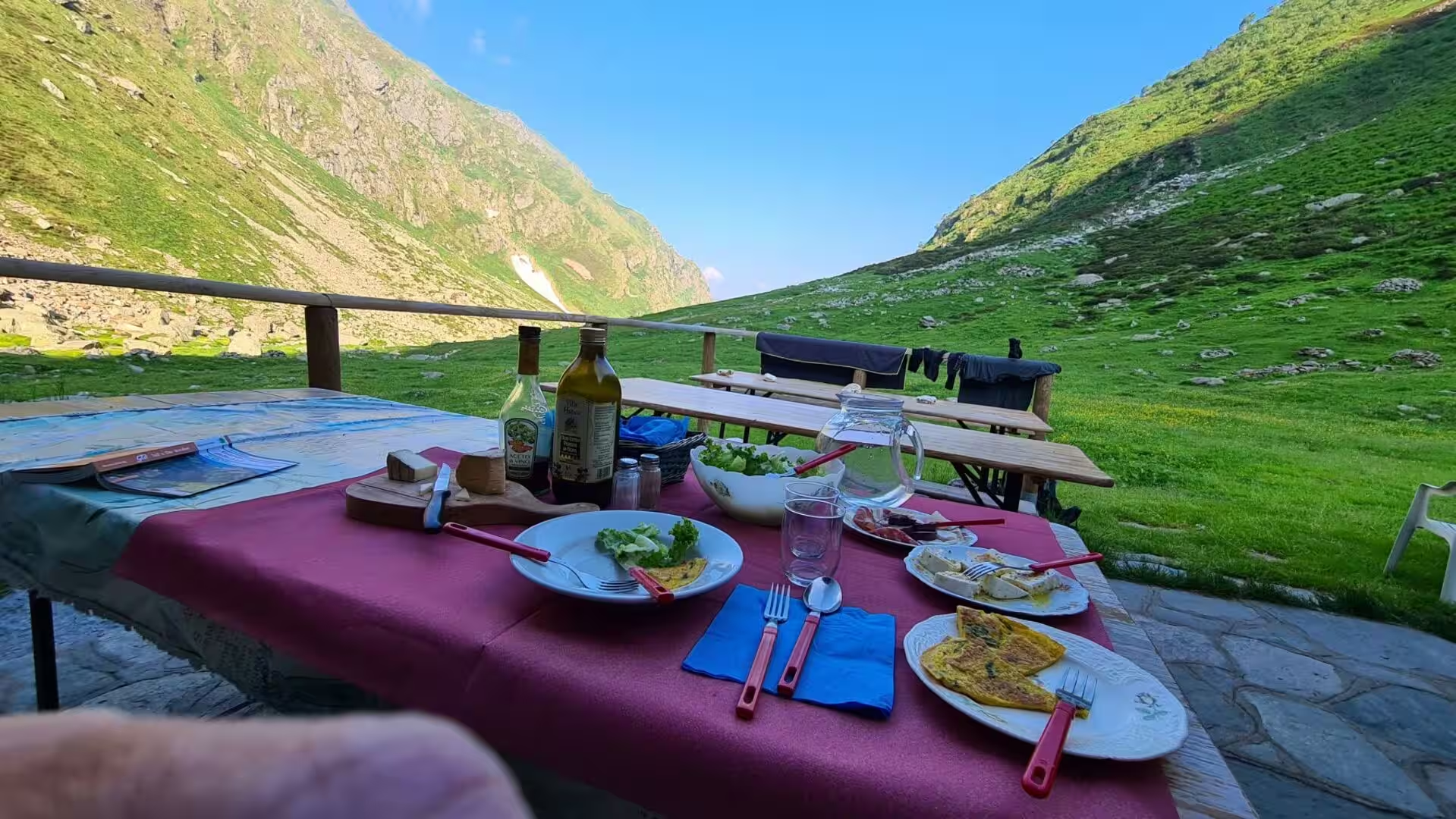
What stays with walkers is not a monument but a way of moving through a country. The days are measured in hours of ascent and descent, and in the villages where the guesthouse is a room in a family house and the evening meal is polenta, cheese and whatever the garden gives. The Walser and Occitan names on the signs, the chestnut flour in the shops and the chapels at the crossings are the visible layer of a history that the paths themselves carry, and the advice for anyone going is the advice of the mountains: plan the stage, watch the weather, carry more water than seems necessary, and leave word of where the day is to end.
References
- Wikipedia contributors (2026). Grande Traversata delle Alpi. en.wikipedia.org/wiki/Grande_Traversata_delle_Alpi
- Wikipedia contributors (2026). Piedmont. en.wikipedia.org/wiki/Piedmont
- Wikipedia contributors (2026). Alps. en.wikipedia.org/wiki/Alps
- Wikipedia contributors (2026). Cottian Alps. en.wikipedia.org/wiki/Cottian_Alps
- Wikipedia contributors (2026). Graian Alps. en.wikipedia.org/wiki/Graian_Alps
- Wikipedia contributors (2026). Penninic. en.wikipedia.org/wiki/Penninic
- Wikipedia contributors (2026). Ivrea zone. en.wikipedia.org/wiki/Ivrea_zone
- Wikipedia contributors (2026). Gran Paradiso National Park. en.wikipedia.org/wiki/Gran_Paradiso_National_Park
- Wikipedia contributors (2026). Monte Viso. en.wikipedia.org/wiki/Monte_Viso
- Wikipedia contributors (2026). Po (river). en.wikipedia.org/wiki/Po_%28river%29
- Wikipedia contributors (2026). Susa Valley. en.wikipedia.org/wiki/Susa_Valley
- Wikipedia contributors (2026). Sacra di San Michele. en.wikipedia.org/wiki/Sacra_di_San_Michele
- Wikipedia contributors (2026). Val Maira. en.wikipedia.org/wiki/Val_Maira
- Wikipedia contributors (2026). Walser. en.wikipedia.org/wiki/Walser
- Wikipedia contributors (2026). Castelmagno. en.wikipedia.org/wiki/Castelmagno
- Wikipedia contributors (2026). Vinadio. en.wikipedia.org/wiki/Vinadio
- Wikipedia contributors (2026). Fenestrelle Fort. en.wikipedia.org/wiki/Fenestrelle_Fort
- Wikipedia contributors (2026). Formazza. en.wikipedia.org/wiki/Formazza
- Wikipedia contributors (2026). Simplon Pass. en.wikipedia.org/wiki/Simplon_Pass
- Wikipedia contributors (2026). Via Francigena. en.wikipedia.org/wiki/Via_Francigena
- Pettenati G. (2013) Maira Valley (Piedmont): a territorial laboratory of a new mountain population. Revue de géographie alpine. 101-3. doi.org/10.4000/rga.2208
- Gullino P., Larcher F., Devecchi M. (2010) THE IMPORTANCE OF THE CHESTNUT CULTIVATION AND ITS EVOLUTION IN THE PIEDMONT LANDSCAPE (NORTH-WEST ITALY). Acta Horticulturae. 37-42. doi.org/10.17660/actahortic.2010.866.1
- De Togni M., Gattiglio M., Balestro G., Roà M. (2023) Alpine structural evolution of the Internal Piedmont Zone in the Upper Viù Valley (Lanzo Valleys Ophiolite, Western Alps). Rendiconti Online della Società Geologica Italiana. 60. 16-23. doi.org/10.3301/rol.2023.27
- Perrone G., Eva E., Solarino S., Cadoppi P., et al. (2010) Seismotectonic investigations in the inner Cottian Alps (Italian Western Alps): An integrated approach. Tectonophysics. 496. 1-16. doi.org/10.1016/j.tecto.2010.09.009
- Ghignone S., Sudo M., Balestro G., Borghi A., et al. (2021) Timing of exhumation of meta-ophiolite units in the Western Alps: New tectonic implications from 40Ar/39Ar white mica ages from Piedmont Zone (Susa Valley). Lithos. 404-405. 106443. doi.org/10.1016/j.lithos.2021.106443
- Compagnoni R., Rolfo F., Castelli D. (2012) Jadeitite from the Monviso meta-ophiolite, western Alps: occurrence and genesis. European Journal of Mineralogy. 24. 333-343. doi.org/10.1127/0935-1221/2011/0023-2164
- Marcuzzi G., Tasso M. (1994) Mortality of the German linguistic isolates of the Western Italian Alps (Walser). Anthropologischer Anzeiger. 52. 239-259. doi.org/10.1127/anthranz/52/1994/239
- Bonadonna A., Peira G., Giachino C., Molinaro L. (2017) Traditional Cheese Production and an EU Labeling Scheme: The Alpine Cheese Producers’ Opinion. Agriculture. 7. 65. doi.org/10.3390/agriculture7080065
- Hull J.S., Richins H. (2016) Mountain tourism: implications and sustainable futures. Mountain tourism: experiences, communities, environments and sustainable futures. 363-369. doi.org/10.1079/9781780644608.0363