2021 Italy - Grande Traversata delle Alpi (GTA) - II
31 August 2021


Journal Notes
General
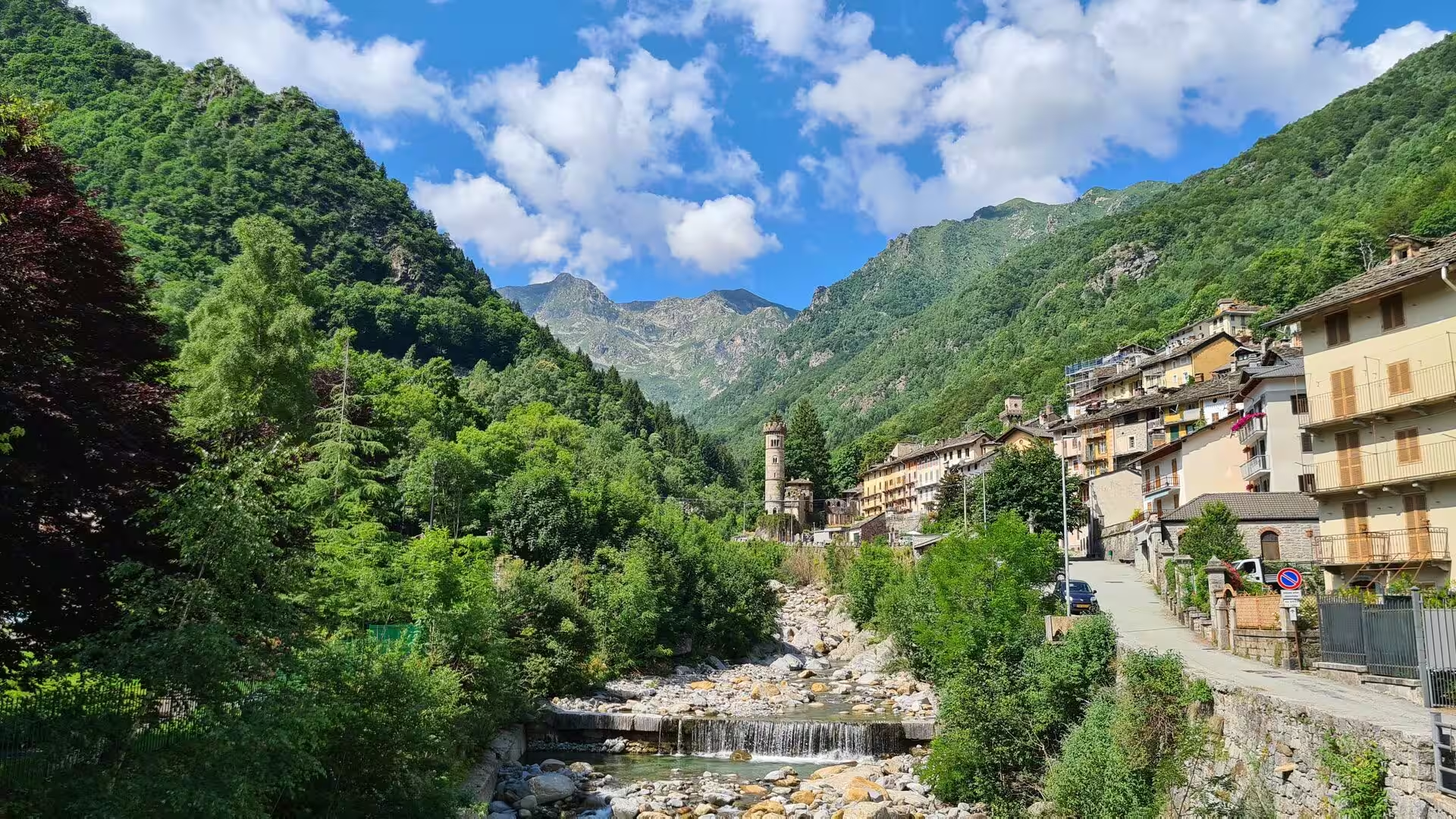
The northern part of the Grande Traversata delle Alpi runs through the Pennine and Graian Alps, between the valleys that open towards the Sesia and the Dora Baltea, and it is the stretch on which the route comes closest to the great peaks. The trail as a whole measures about 1,000 kilometres in roughly 55 day stages, mostly on paths that connected the valley communities long before anyone walked them for pleasure. Stages climb and descend between 600 and 1,200 metres, the route is usually free of snow from the end of June, and the marking is red and white, sometimes without a name.
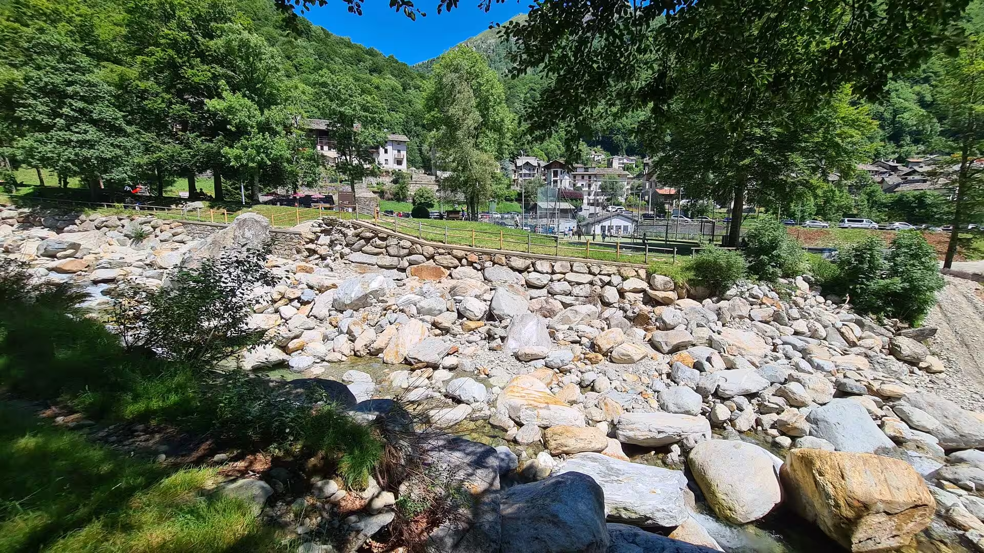
The upper Sesia belongs to the Walser. Alagna Valsesia, at 1,191 metres below the Valsesian face of Monte Rosa, was settled by Walser from the upper Valais at the beginning of the twelfth century, and the villages of Rima and Carcoforo share that origin and their Alemannic dialect. Above them the Monte Rosa massif reaches 4,634 metres at the Dufourspitze, the second highest summit of the Alps after Mont Blanc, and its glaciers feed the Sesia, the river that gives the whole valley its name and its water.
Below the mountains lie the Biella Alps, whose springs and small lakes are fed by the glaciers above them and drained by the Elvo, the Oropa and the Cervo. Biella itself, with 43,356 inhabitants, has lived from wool and textiles for centuries, and its hills were worked for gold before the Romans came: the Celtic-Ligurian Victimuli washed the alluvial gold of the Bessa, and panning is still a local pastime. Above the town, at 1,159 metres, stands the sanctuary of Oropa, the most important pilgrim site of the region.
The southern end of this stretch is the Canavese, the subalpine country between the Biella hills and the plain, whose main town is Ivrea and whose landscape is famous for its castles and for the moraine hills of a Pleistocene glacier. The route descends through it to Quincinetto, at 295 metres the lowest point of the entire Grande Traversata, where the Dora Baltea leaves the Aosta Valley for the plain. Along the way the last villages before the flatland, Carema among them, keep vineyards on stone terraces, and the red wine of Carema grows where the Alps begin to fall away.
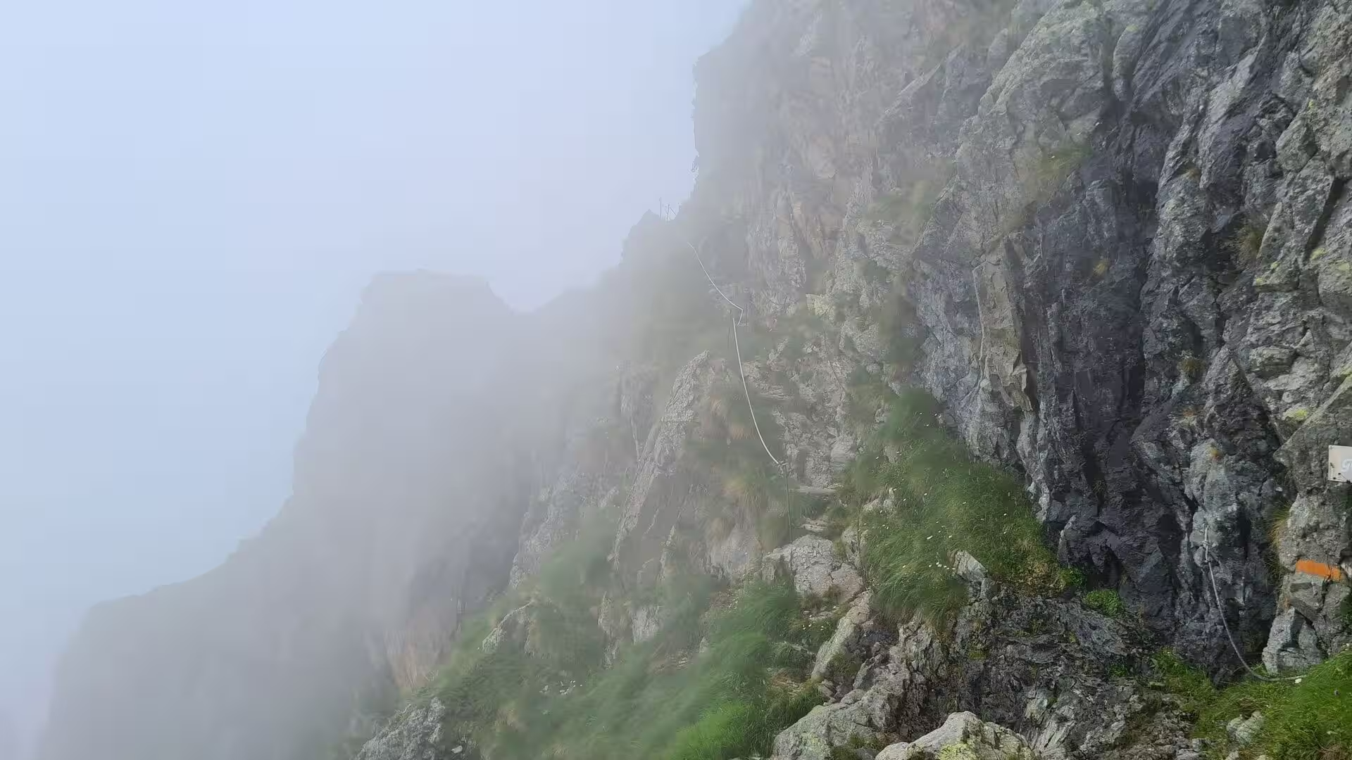
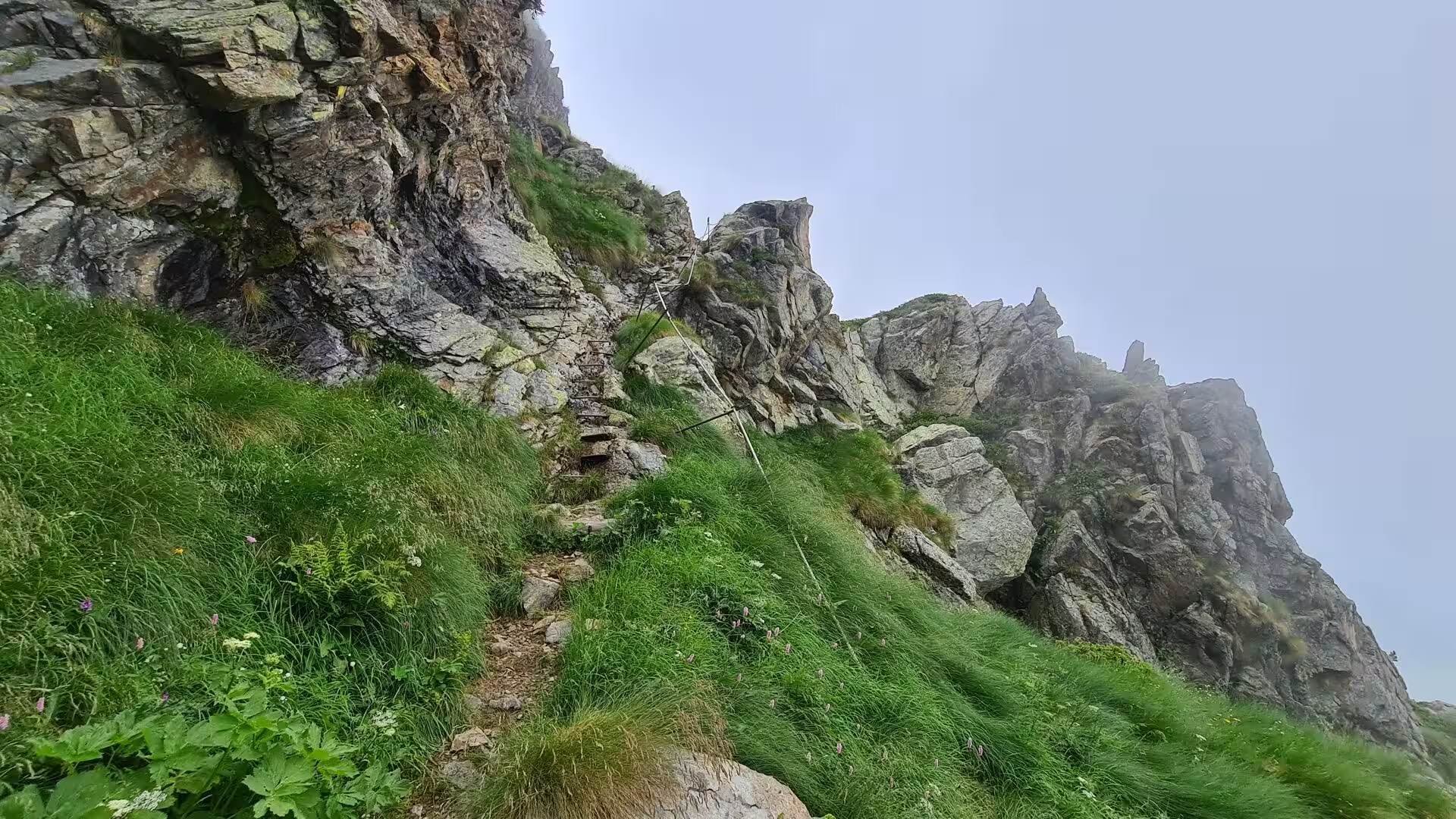
Walking this stretch is a matter of passes and huts. The route crosses the Colle d’Egua at 2,239 metres and the Colle del Termo at 2,351, the Passo del Maccagno at 2,495 and the Colle Mologna Grande at 2,364 before it turns south over the Colle della Lace at 2,121 metres, and the Rifugio Rivetti at 2,201 metres and the Rifugio Coda at 2,189 metres are the two shelters of the section. Some passages are secured with steel cable and marked in orange, and the accommodation is the posto tappa, a guesthouse or farm carrying the red and white flag of the route, usually with half board.
History
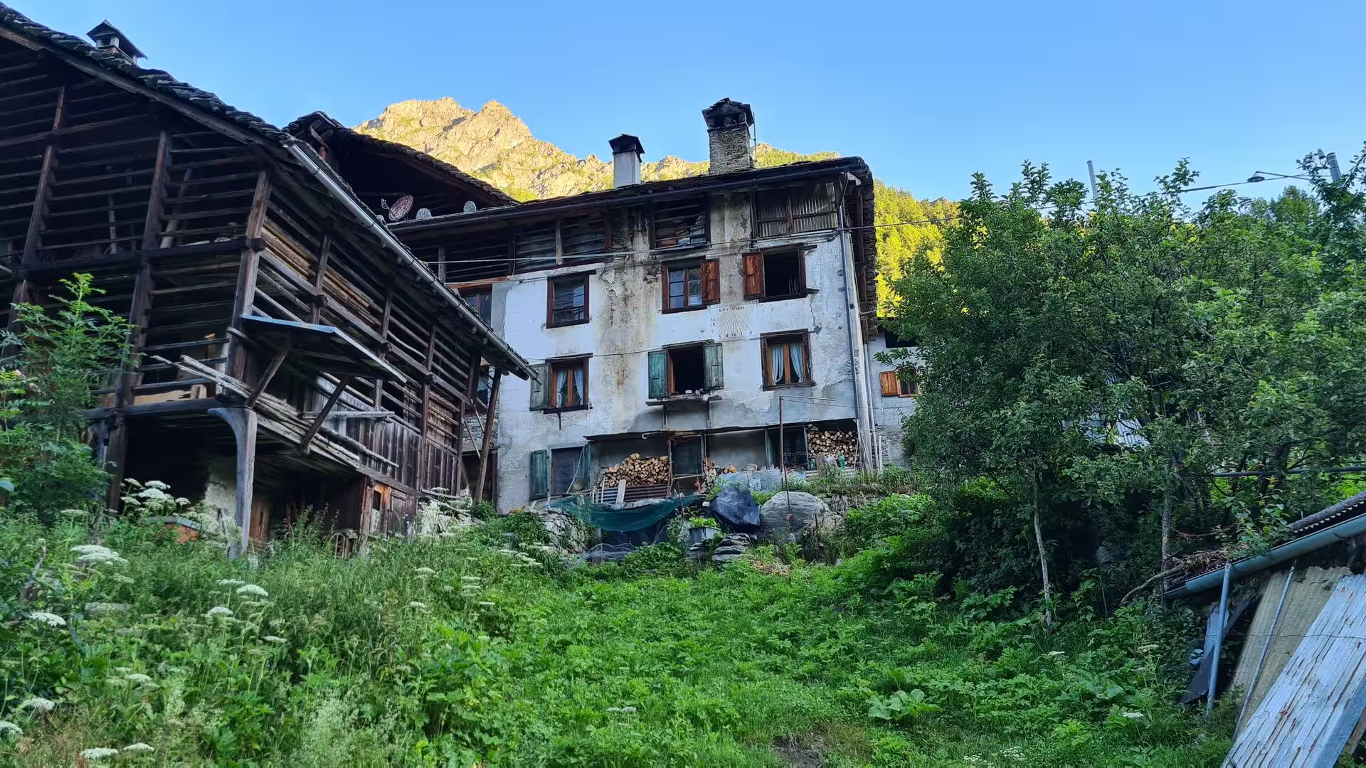
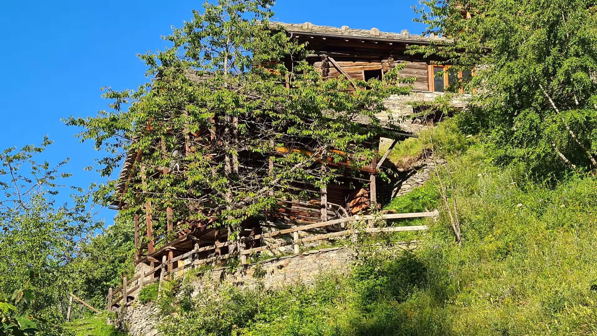
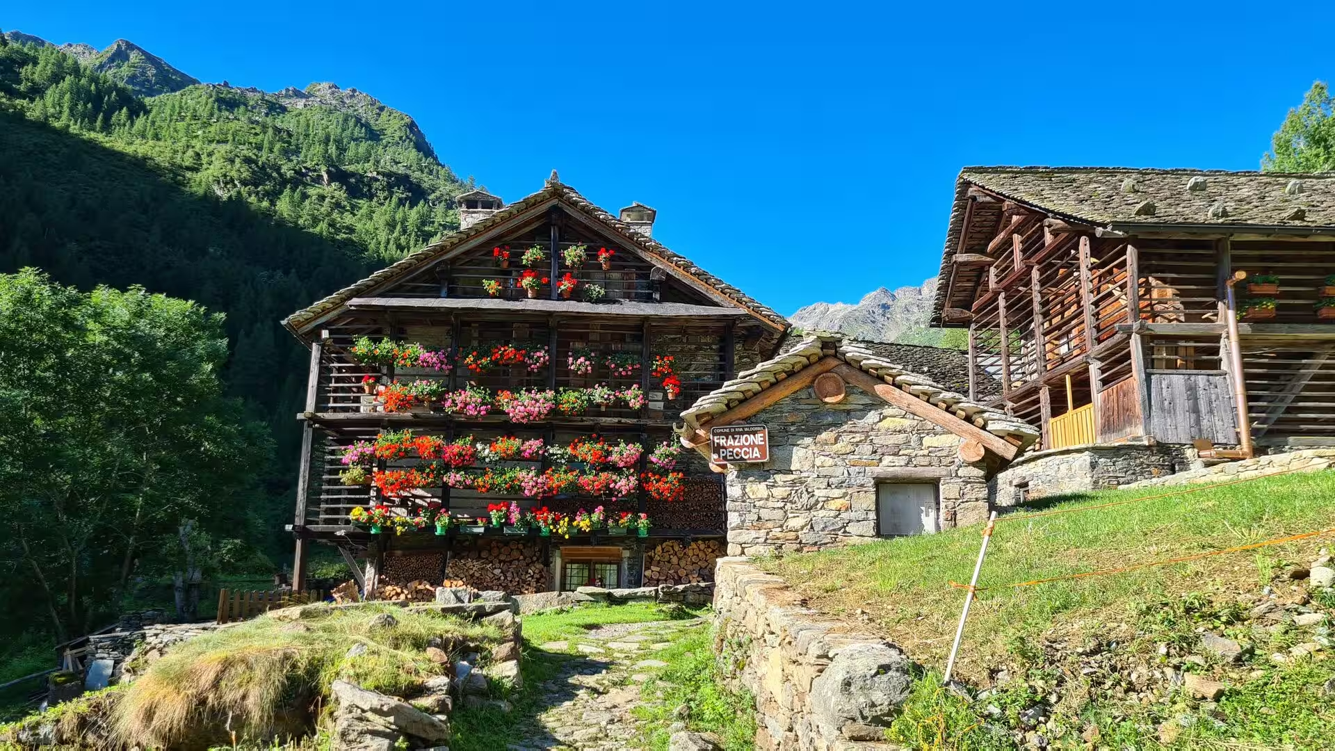
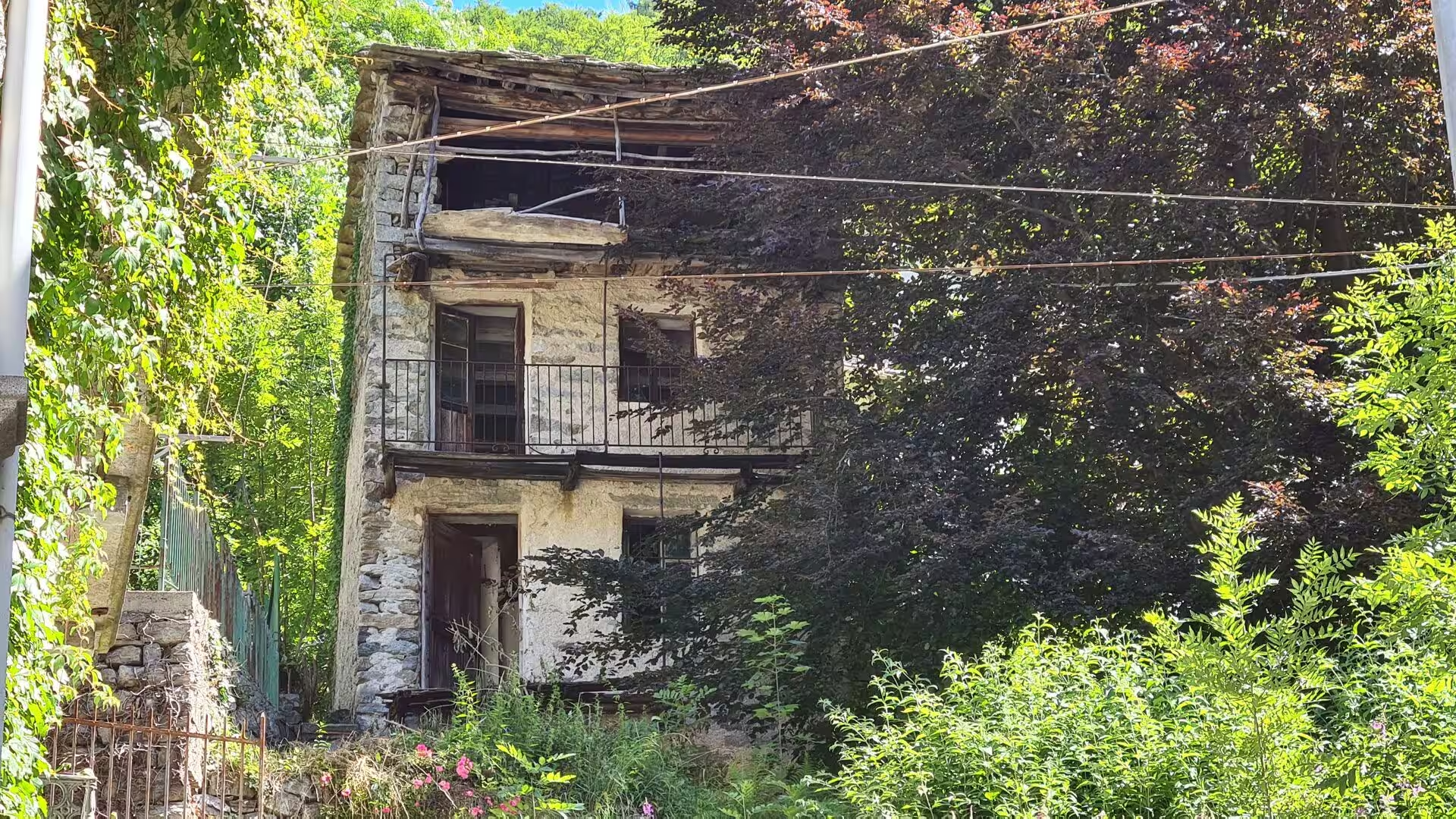
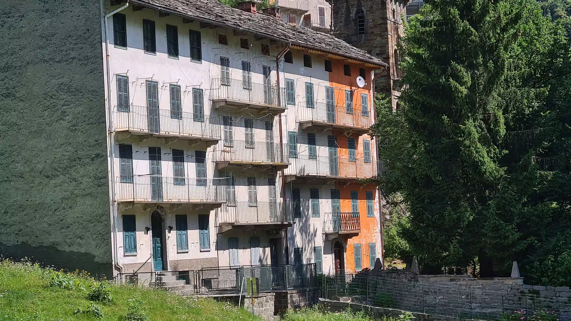
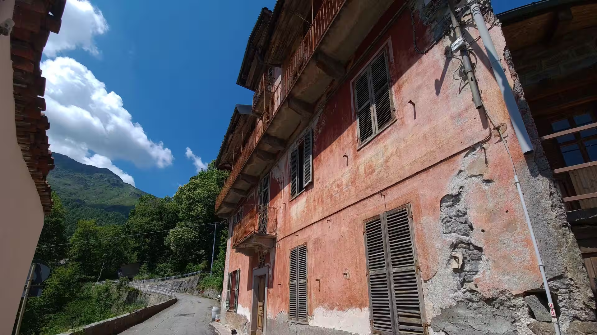
The high valleys were settled late and deliberately. Walser families from the upper Valais crossed into the Sesia and the Anzasca in the twelfth and thirteenth centuries, taking land that nobody else wanted, and their villages of dark timber houses, raised on stone bases and roofed with stone slabs, are still the architecture of the upper Valsesia. They kept their German dialect, their communal pastures and their transhumance, and their isolation was the price: the mountain communities were connected to the outer world only by the passes and the mule tracks that the GTA now follows.
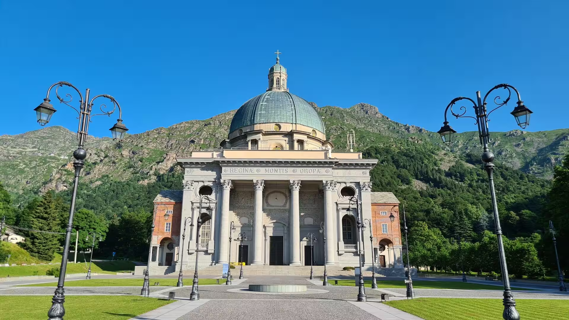
Pilgrimage gave the same paths a second purpose. The sanctuary of Oropa, in its small valley above Biella, keeps the Black Madonna that the legend attributes to Saint Eusebius of Vercelli, who is said to have hidden a cedar-wood statue in a cave during a persecution of the fourth century and found it too heavy to move; the Sacred Mountain of Oropa was inscribed on the UNESCO World Heritage List in 2003. San Giovanni d’Andorno, at 1,020 metres on the other side of the valley, is the second sanctuary of the section, and both are still walked to in procession.
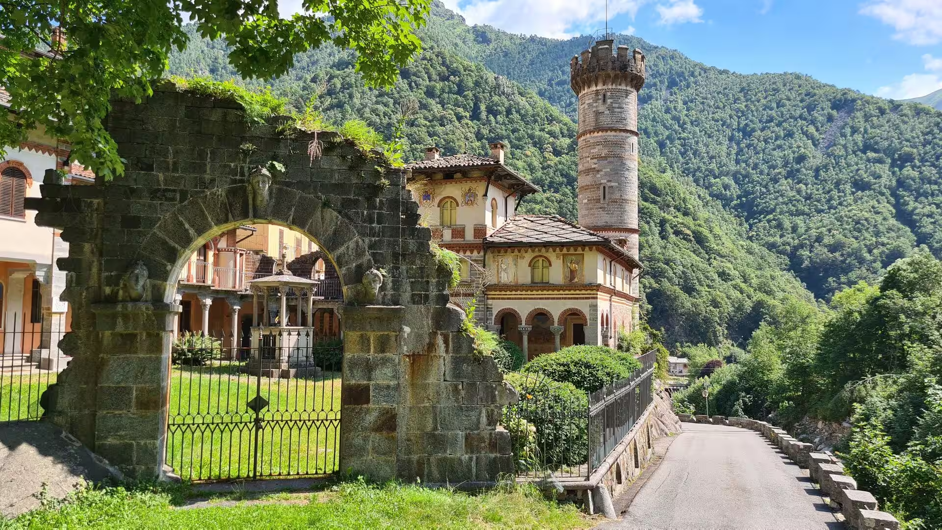
The Canavese has an older and more turbulent history. Its first inhabitants were the Salassi, of Celto-Ligurian origin, and the Romans arrived in 22 BCE; after the fall of the empire the region passed to Byzantium, the Lombards and the Franks, and in 1015 Arduino, marquis of Ivrea, became the first of his line to bear the title King of Italy. When he died the counts of the House of Ivrea divided the country among themselves, and the families that grew out of that division ruled it through their castles until the House of Savoy began its expansion in the fourteenth century.
The twentieth century pulled the people out of the valleys and pushed industry into the towns. Biella grew on wool, the textile mills of the Sesia valley took the children of the mountain farms, and Turin took the rest; the villages lost their schools and their shops, and the houses were left to the returning summer families. The rivers were dammed for hydroelectricity, the war left its memorials in the mountains, and the paths survived mainly because they were the shortest way from one hamlet to the next. The GTA, laid out by volunteers from Turin in the 1970s, was the attempt to give those paths a purpose again.
Today that purpose is walking tourism, and it is uneven. The posti tappa of the route live on a season of a few months and on about 1,000 long-distance walkers a year, most of them from German-speaking countries, while the villages below depend on the day guests who come by car. Cheese from the summer pastures, chestnuts, the wine of Carema and the wool of Biella carry the names of the valleys into the shops.
Geology
The geology of this stretch of the Alps is the geology of a continent that has been pushed over another. On the inner side of the arc lie the Ivrea zone, a slice of the lower continental crust with bodies of mantle peridotite, and the Sesia zone, both of them raised to the surface by the uplift of the chain, while the Penninic nappes above Alagna and the meta-ophiolites of the Piedmont zone record the ocean that once lay between Europe and Apulia. Nowhere else in the Alps can the inside of a collision be read so directly from the footpath.
The rocks change with the ground underfoot. Gneiss and micaschist form the high valley cores, serpentinite and other meta-ophiolites give the green and dark stones of the middle slopes, and limestone appears where the route crosses into the southern ranges. The Sesia carries the water of the Monte Rosa glaciers down the whole valley, and the springs and small lakes of the Biella Alps were the reason the first settlers came: water, pasture and gold in the gravel of the Bessa were the resources of these valleys.
Ice shaped the landforms the walker crosses. Cirques, moraines and U-shaped valleys record the last cold periods, and the moraine lakes around Ivrea are the remains of that ice: after the retreat of the last glaciation around 9700 BC the hollows behind the moraine ridges filled with water, and lakes such as the Sirio and the San Michele still surround the town. The tree line is marked by the larch, the broadleaved forest below it by beech and chestnut, and the terraces of the lower slopes were built by farmers, not by the ice.
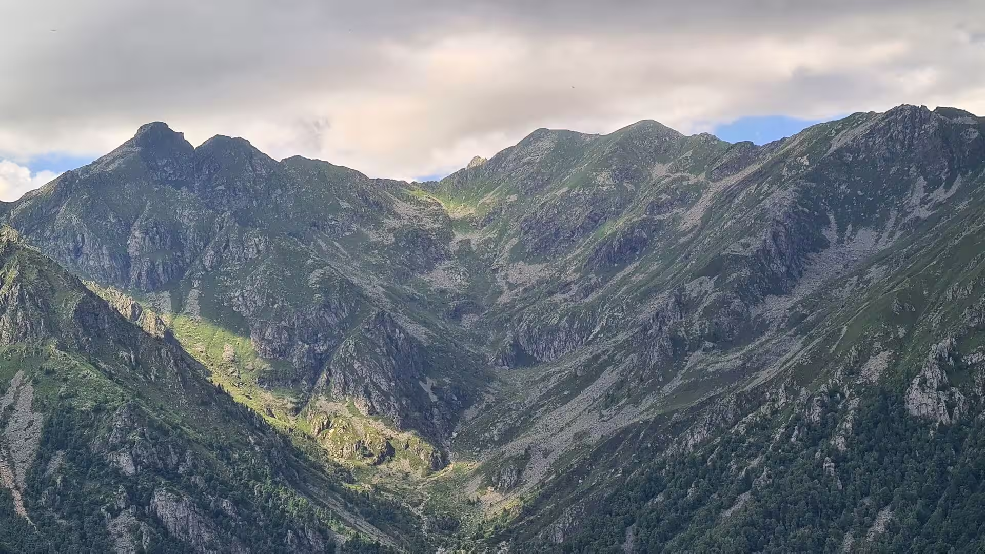
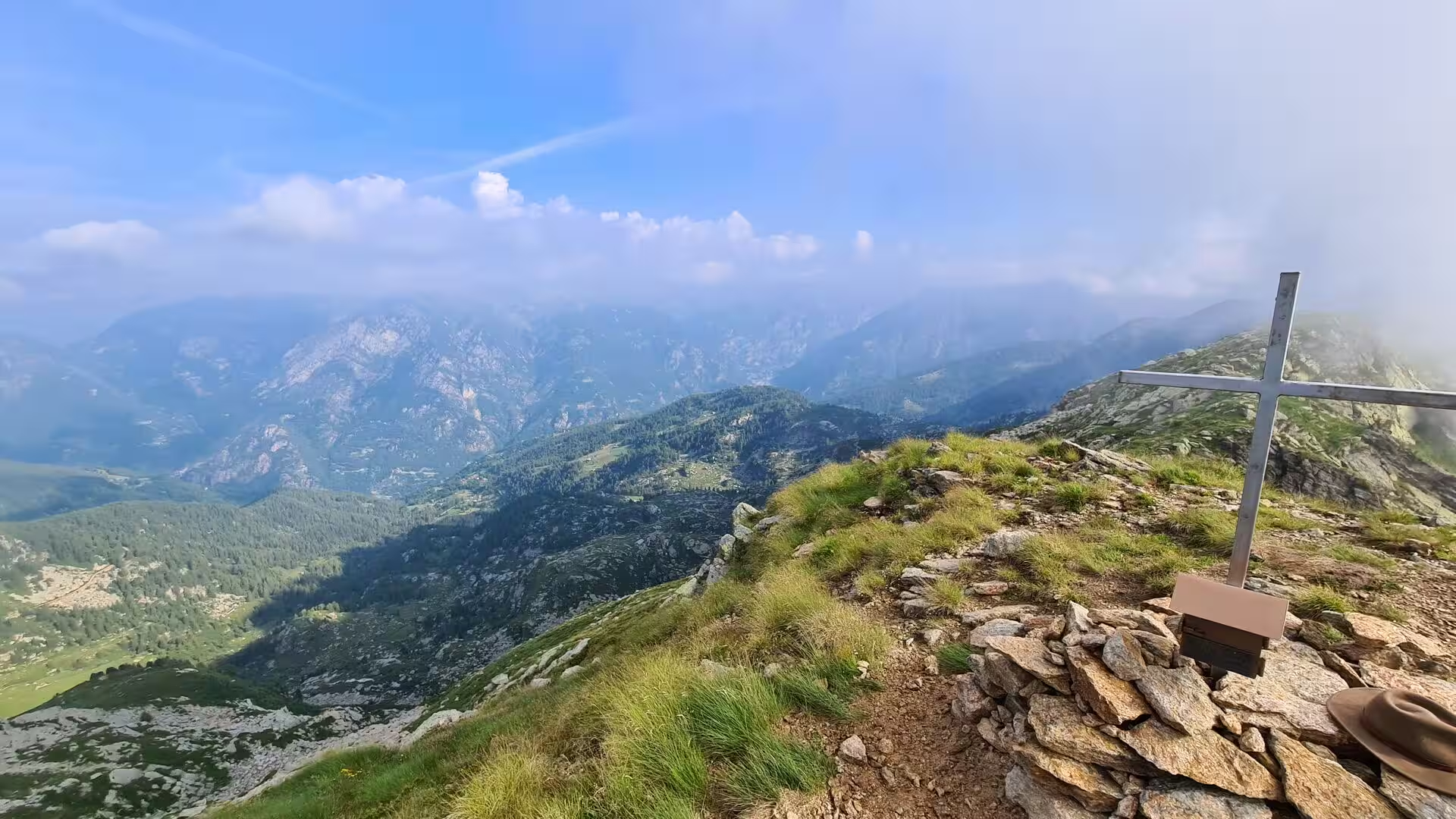
Monte Rosa dominates the northern skyline of the section. The massif lies on the border between Piedmont, the Aosta Valley and the Valais, its highest summit is the Dufourspitze at 4,634 metres, and the Valsesian face above Alagna Valsesia belongs to the Italian side. From the passes of the route the ridge is visible on clear days over the whole valley, and the Margherita Hut at 4,554 metres, the highest building in Europe, stands on its summit ridge as the goal of the classic climb from Alagna.
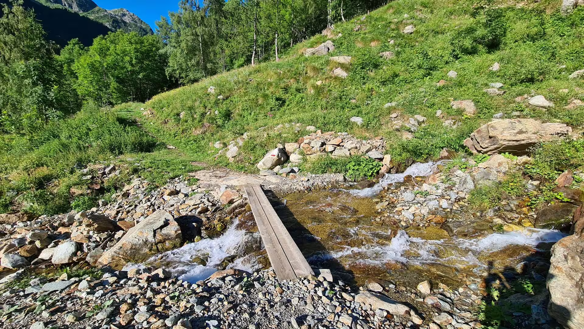
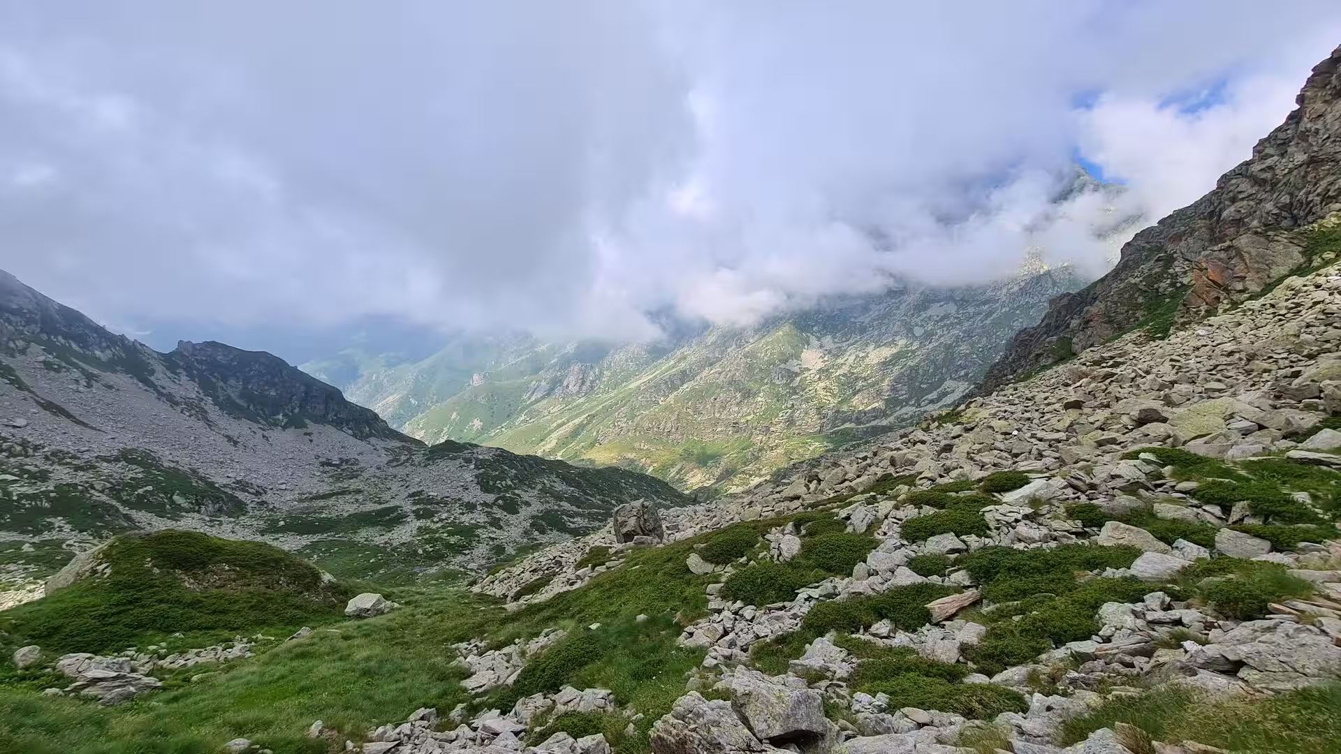
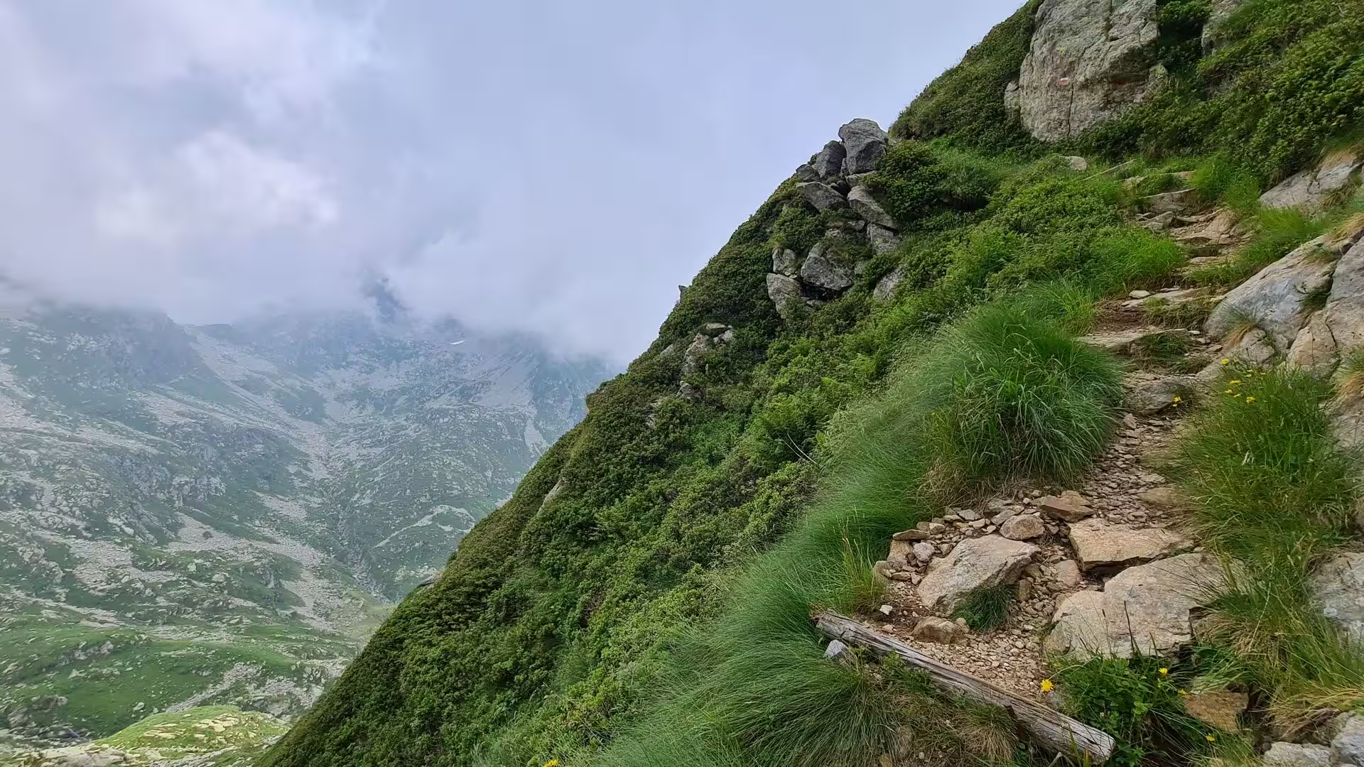
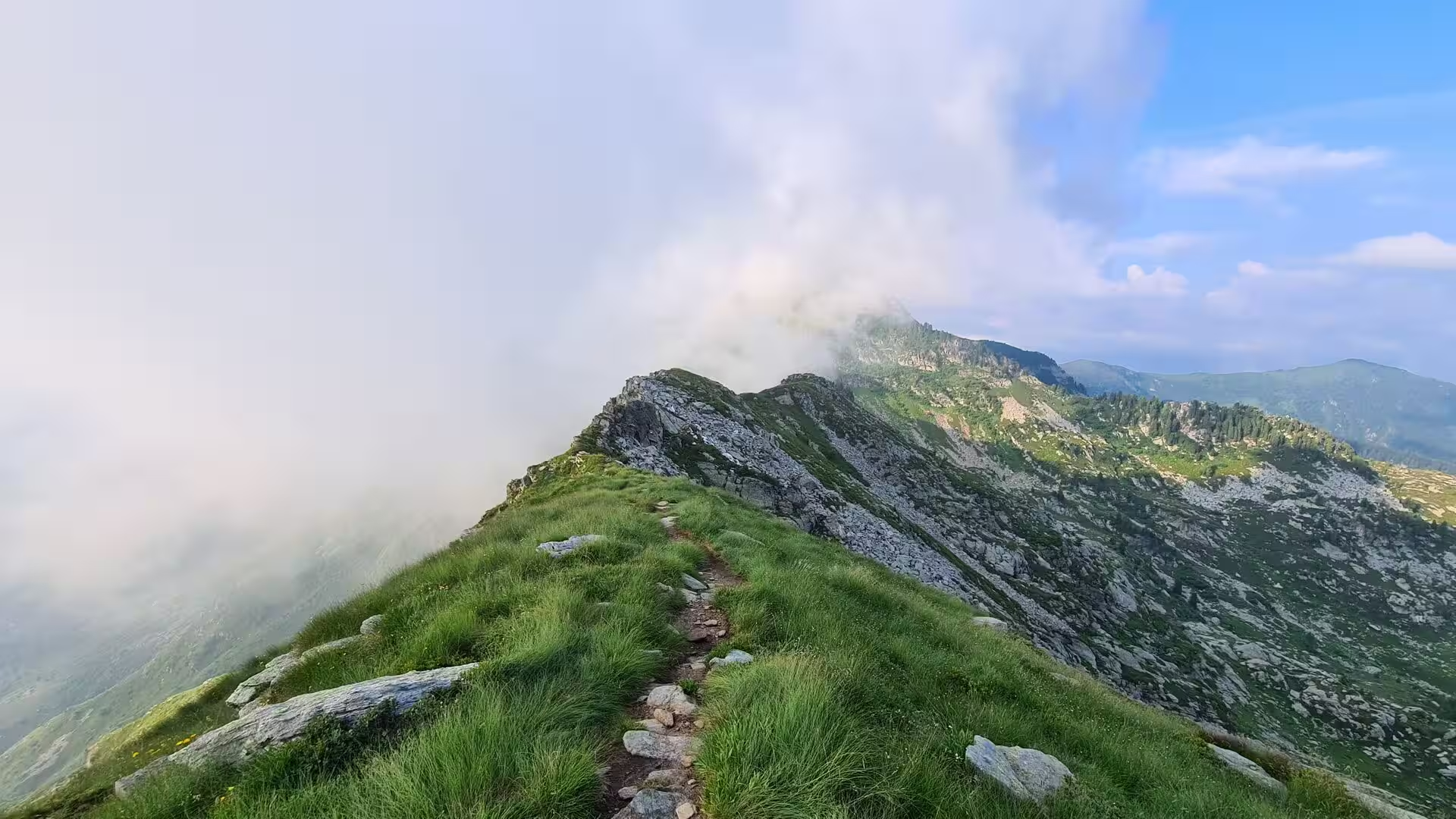
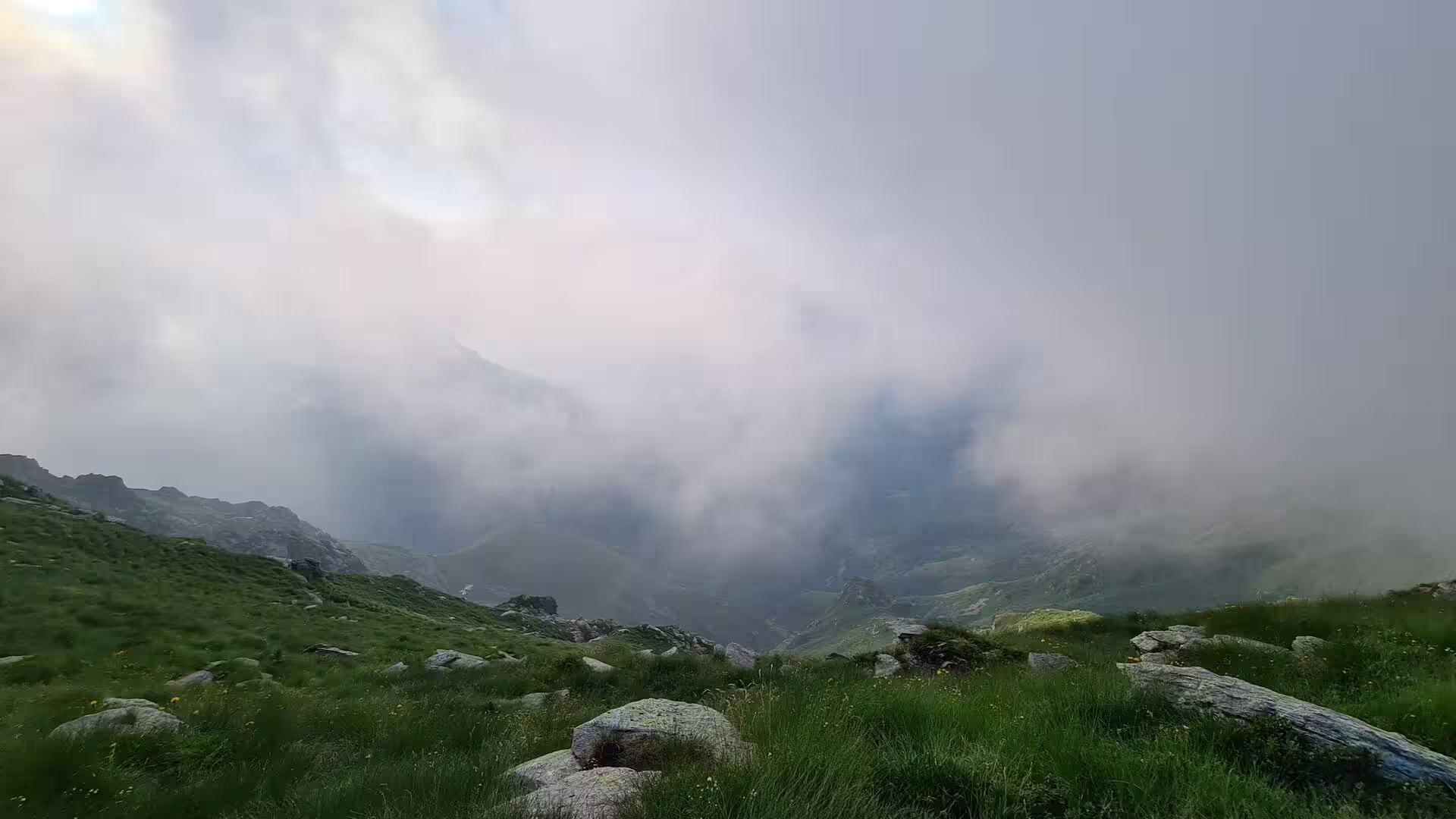
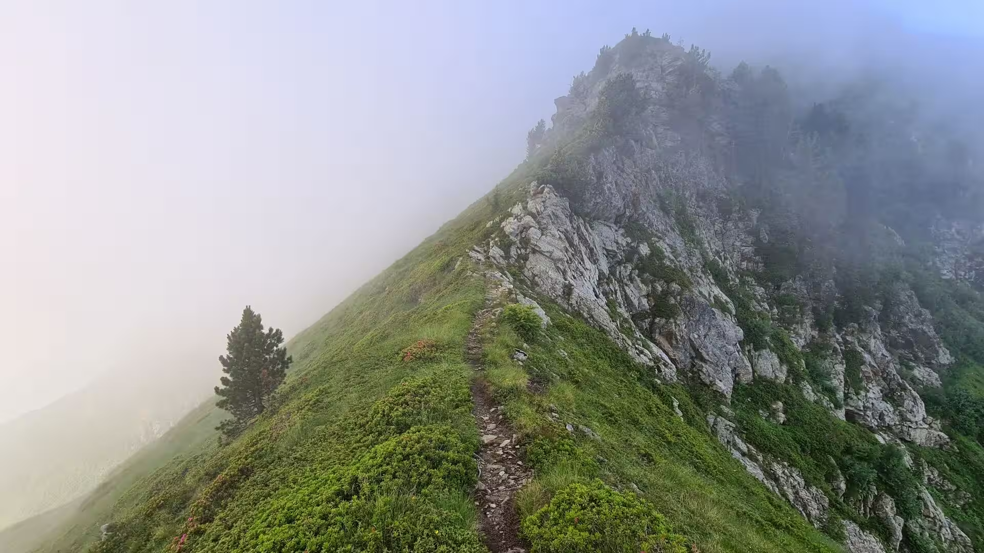
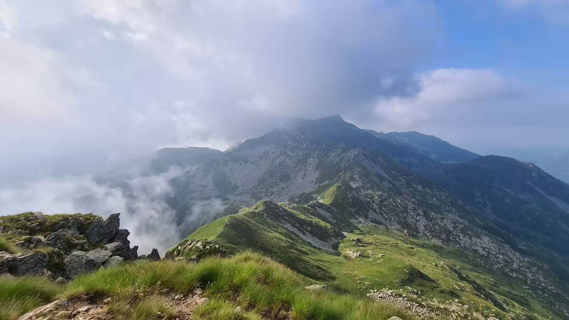
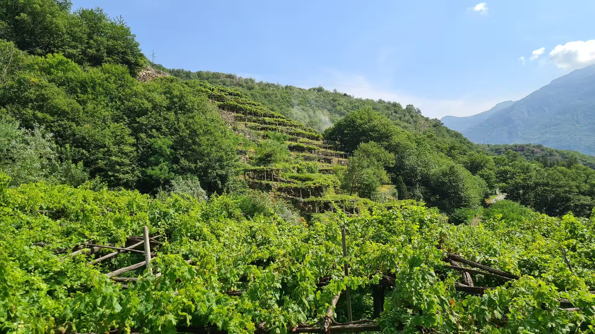
The mountains also set the limits of what can be built and walked. Fog and cloud come up quickly on the passes, and the sections above the tree line are steep, which is why some passages are secured with steel cables. Torrents cut the paths after heavy rain, landslides and rockfall are part of the annual maintenance of the trails, and the vineyards at the lower end of the section are planted on terraces whose stone walls do the same work that the mountains do elsewhere: they hold the soil on a slope that would otherwise be gone.
Things to See
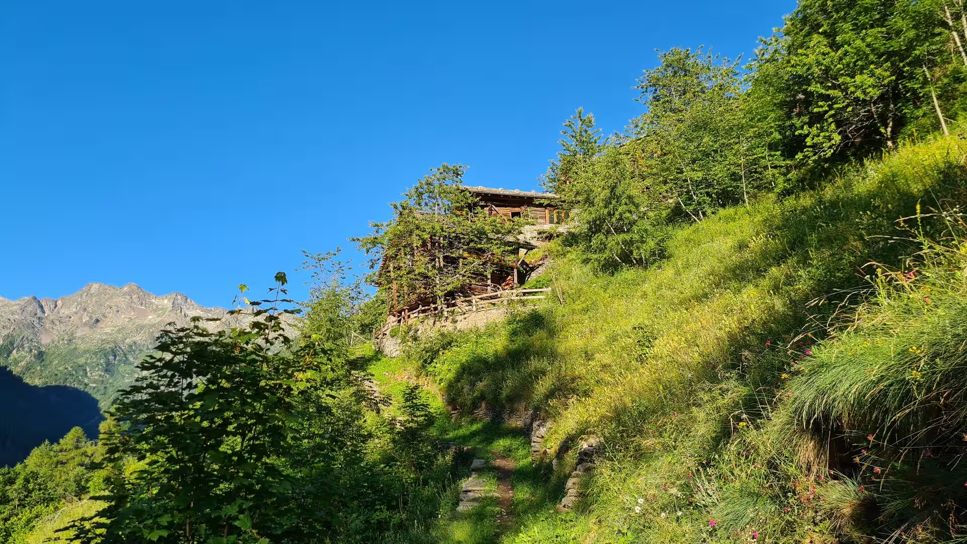
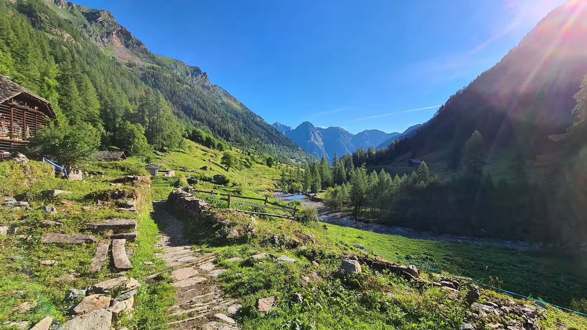
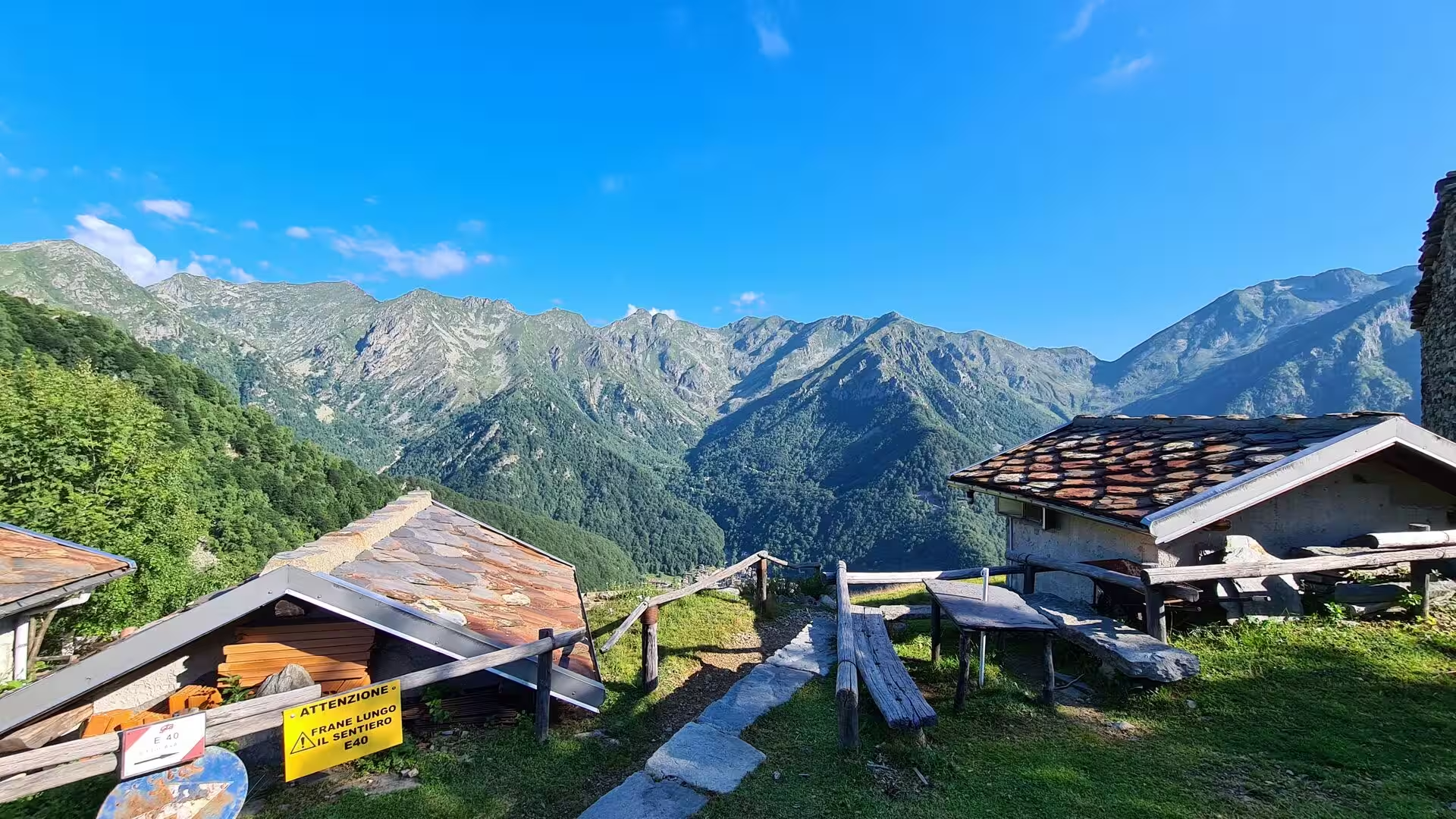
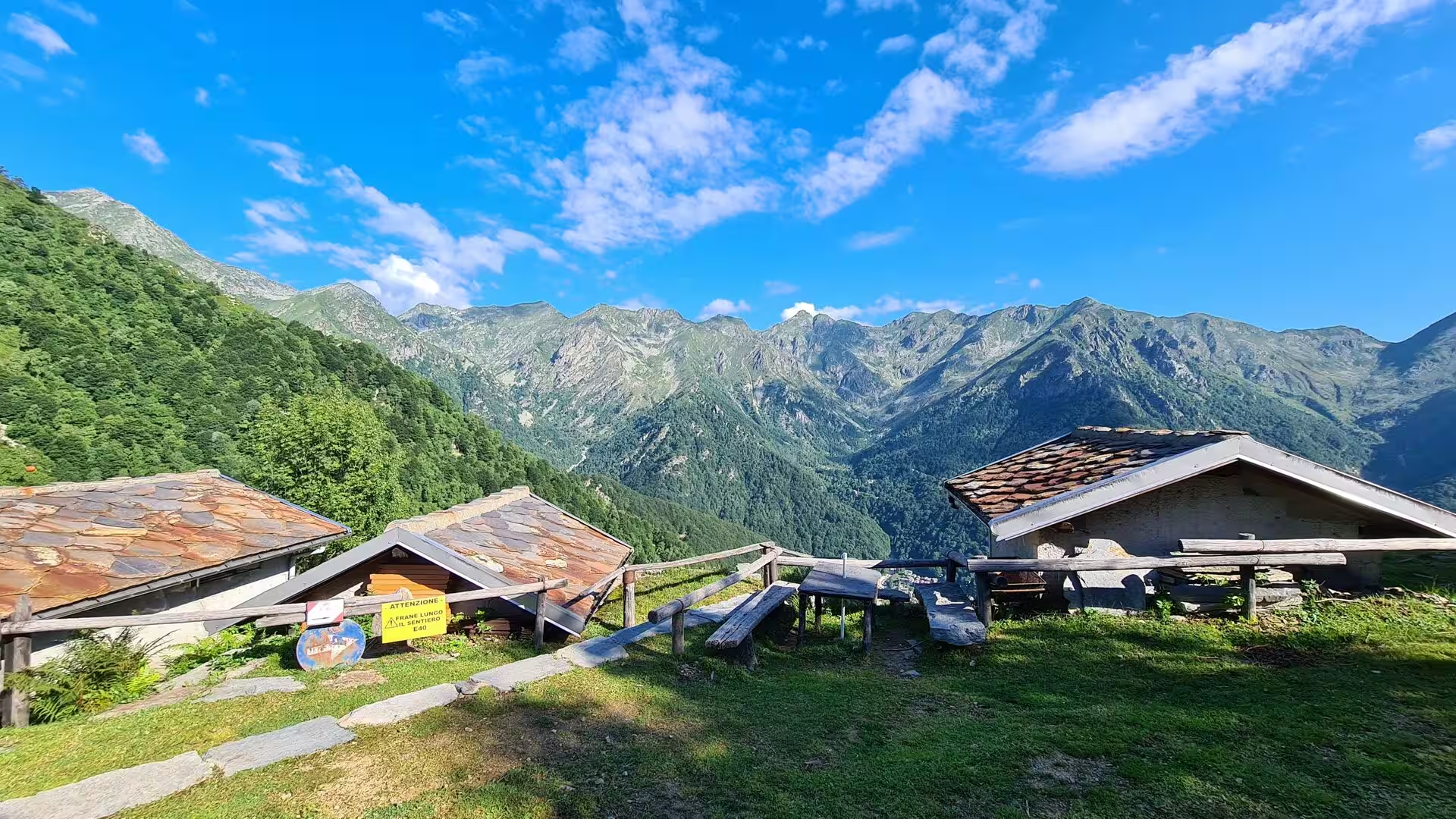
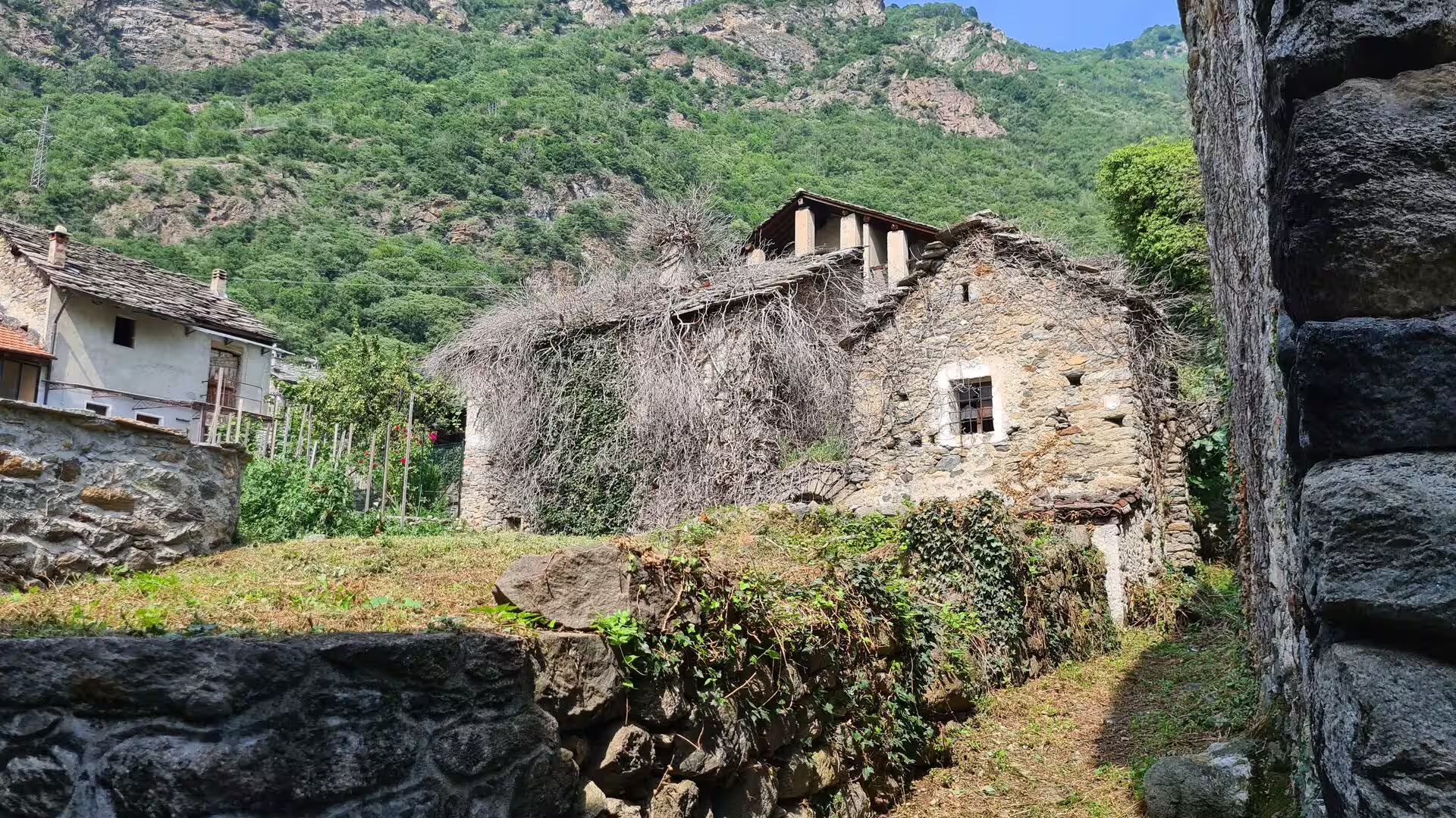
In the Valsesia the route begins high. Above Alagna Valsesia, at 1,191 metres, the Walser houses stand with their timber balconies and stone-slab roofs against the Valsesian face of Monte Rosa, and the path climbs from them towards the Passo del Maccagno at 2,495 metres. The Colle Lazoney at 2,395 and the Colle Mologna Grande at 2,364 metres lead over into the side valleys, and the Rifugio Rivetti at 2,201 metres is the first shelter of the crossing; on the way the old communal barns, the high pastures and the rows of alders on the stone walls are the visible order of a Walser village.
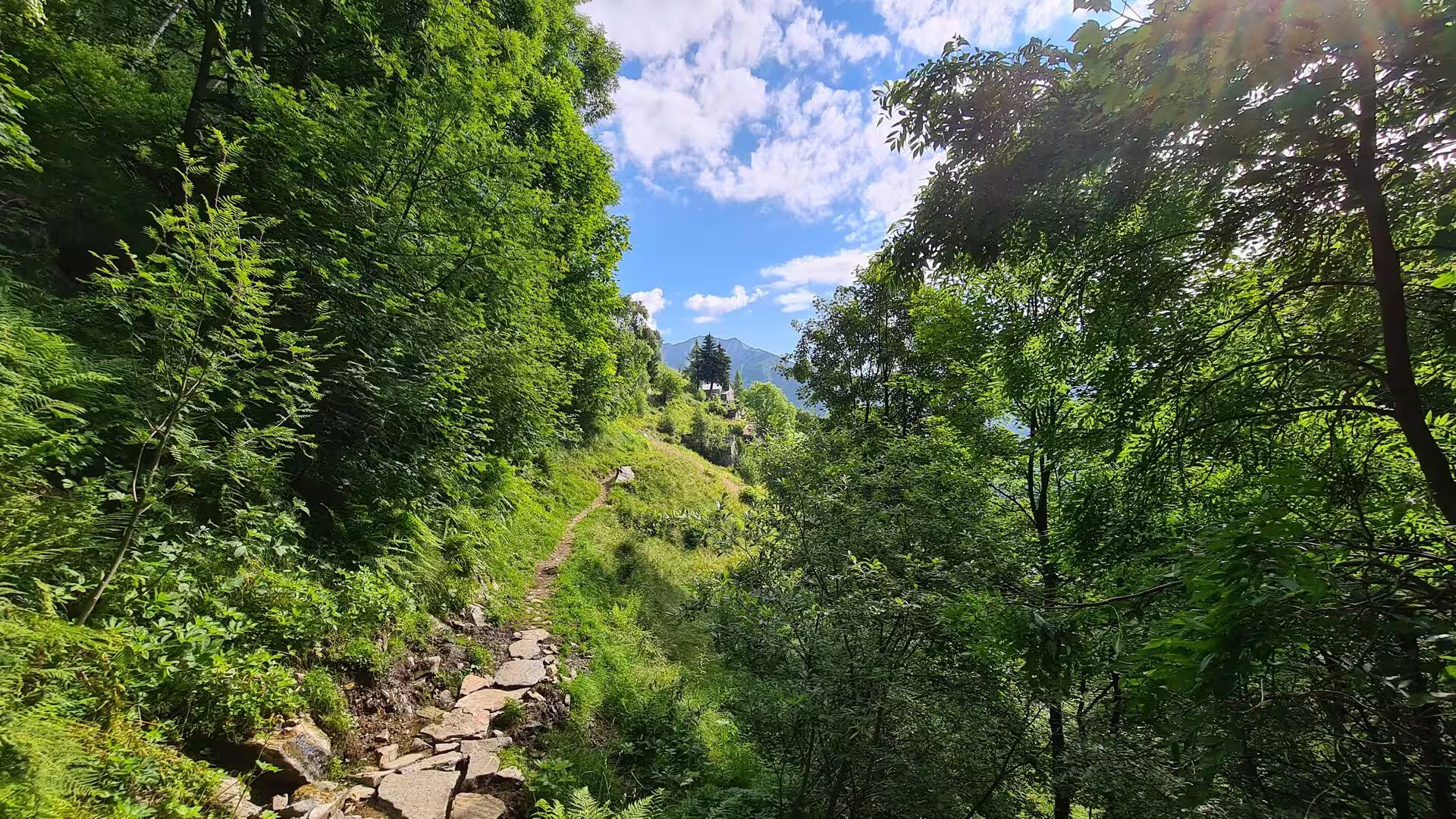
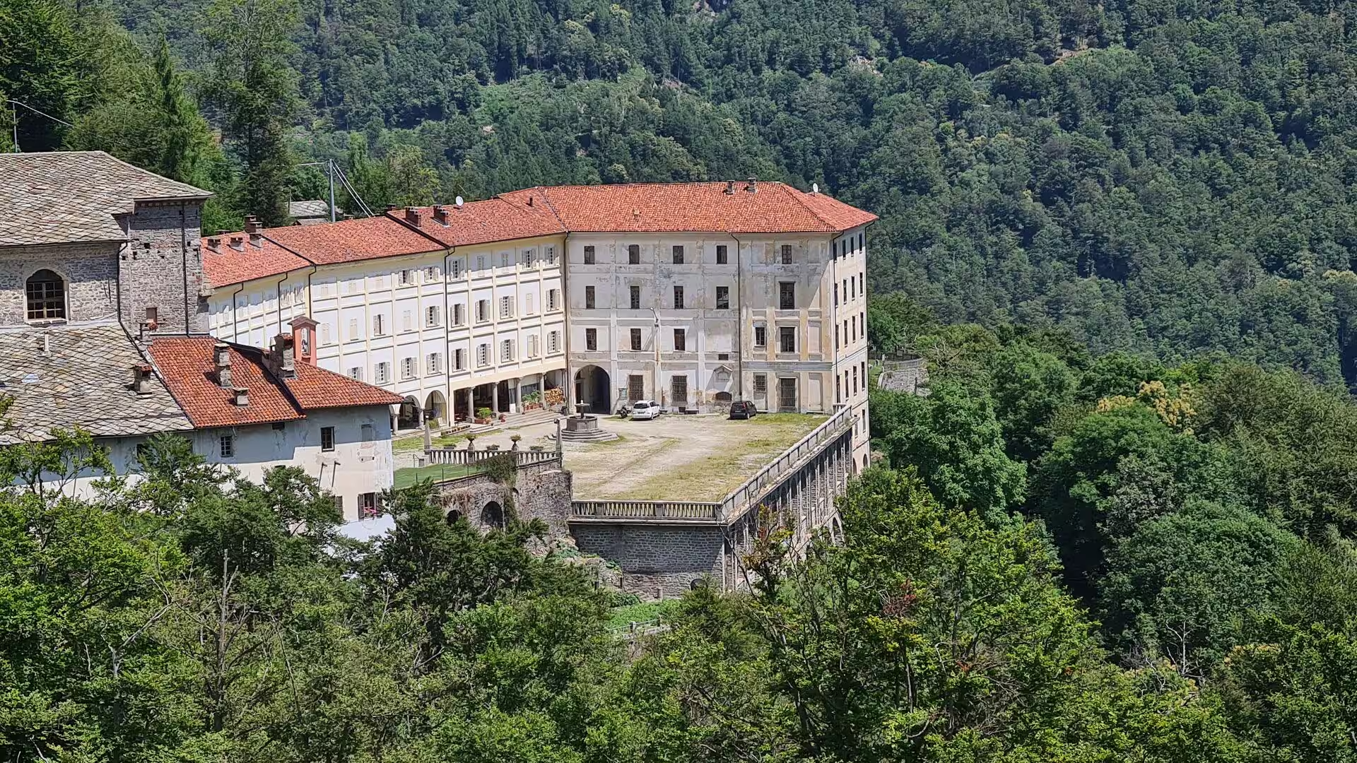
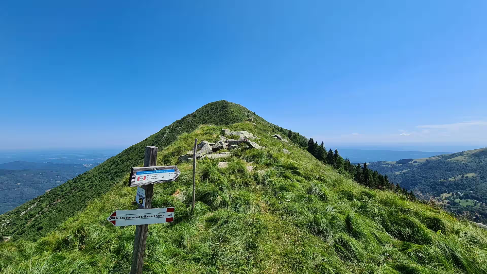
The descent to San Giovanni d’Andorno, at 1,020 metres, passes through beech and chestnut woods, stone hamlets with slab roofs and the fountains that the villages built at their entrances, and arrives at the second sanctuary of the stretch, which the signposts announce long before the roofs appear. The sanctuary is a place of pilgrimage with a long tradition of its own, and its position makes it the natural overnight stop between the Sesia and the Biella Alps; from the ridge above it the peaks of the Monte Rosa group stand along the horizon.
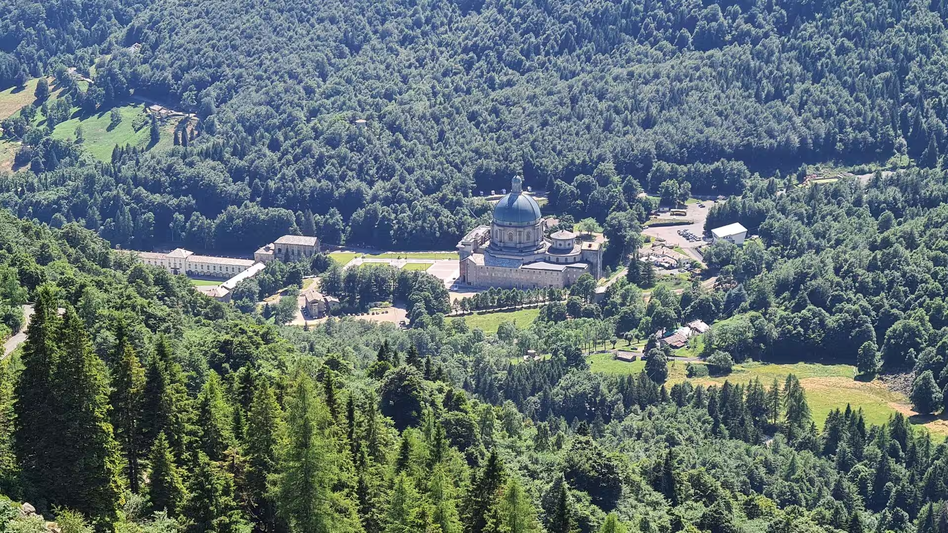
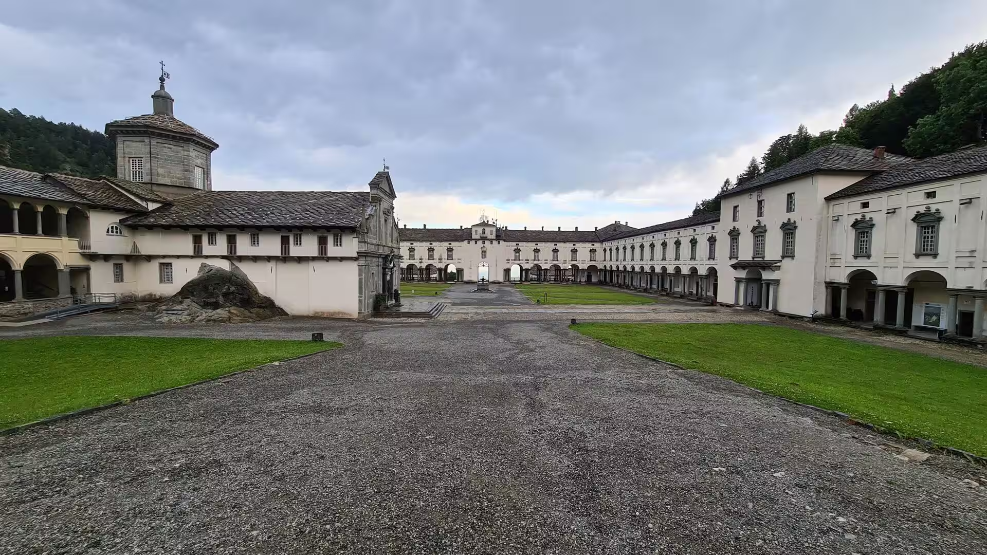
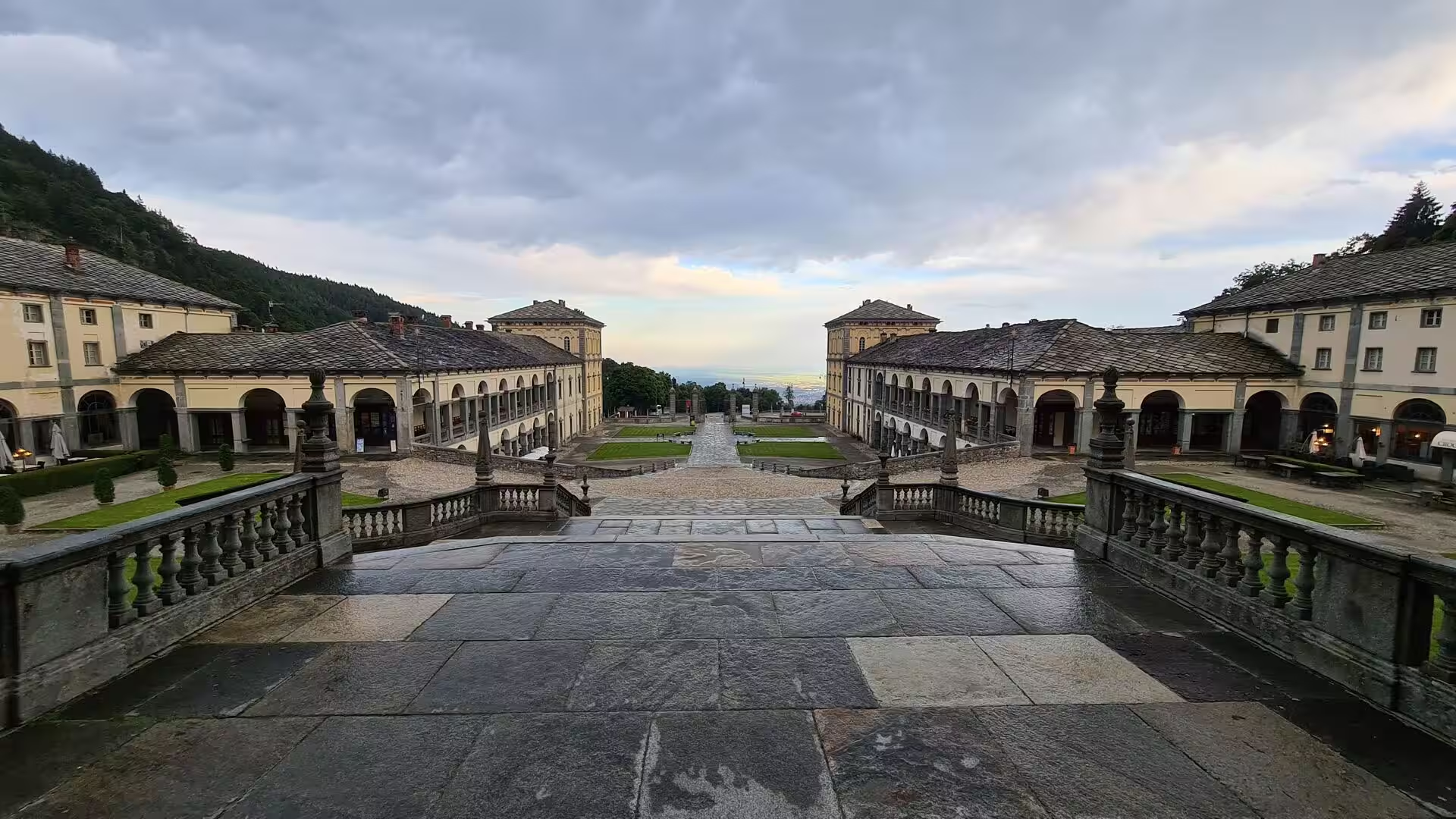
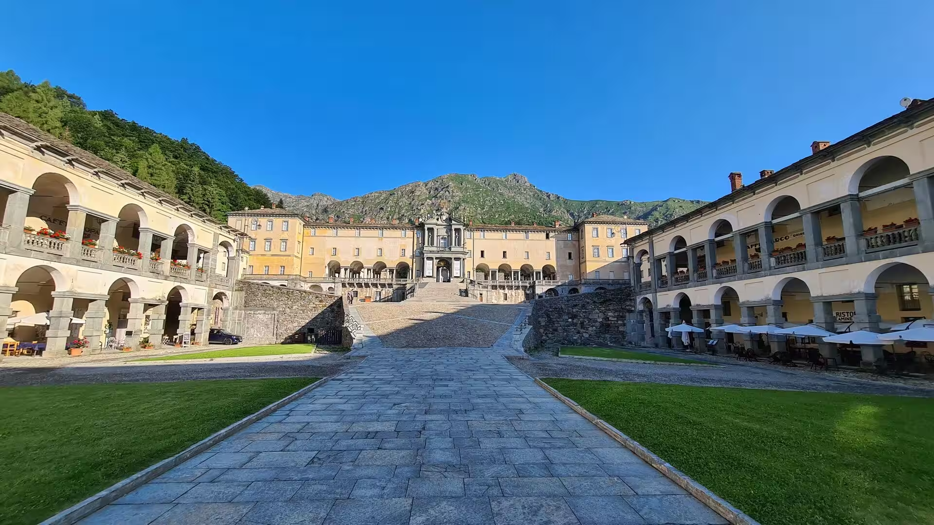
The sanctuary of Oropa, at 1,159 metres in its own small valley above Biella, is the largest religious complex of the region: a basilica with a dome, long arcaded wings around a sunken courtyard, a balustraded terrace above the valley, and the chapel that holds the Black Madonna, the darkened statue that the legend links to Saint Eusebius of Vercelli. The Sacred Mountain of Oropa was inscribed on the UNESCO World Heritage List in 2003, pilgrims still walk up to it in procession, and the town of Biella below it lives from wool as it has for centuries.
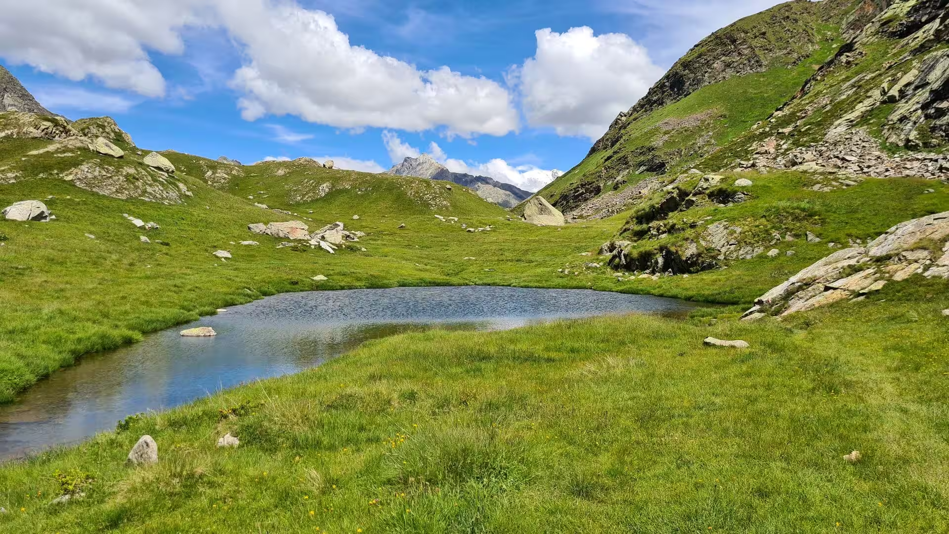
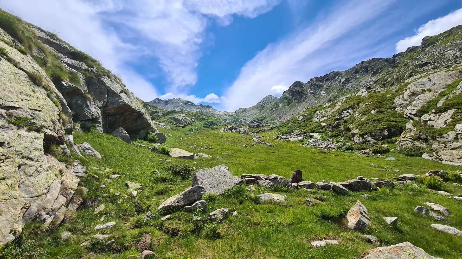
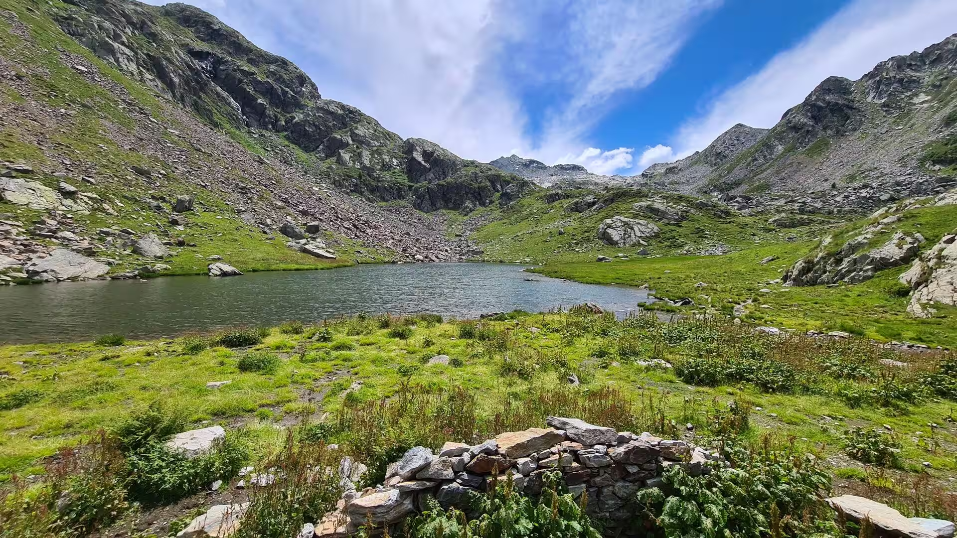
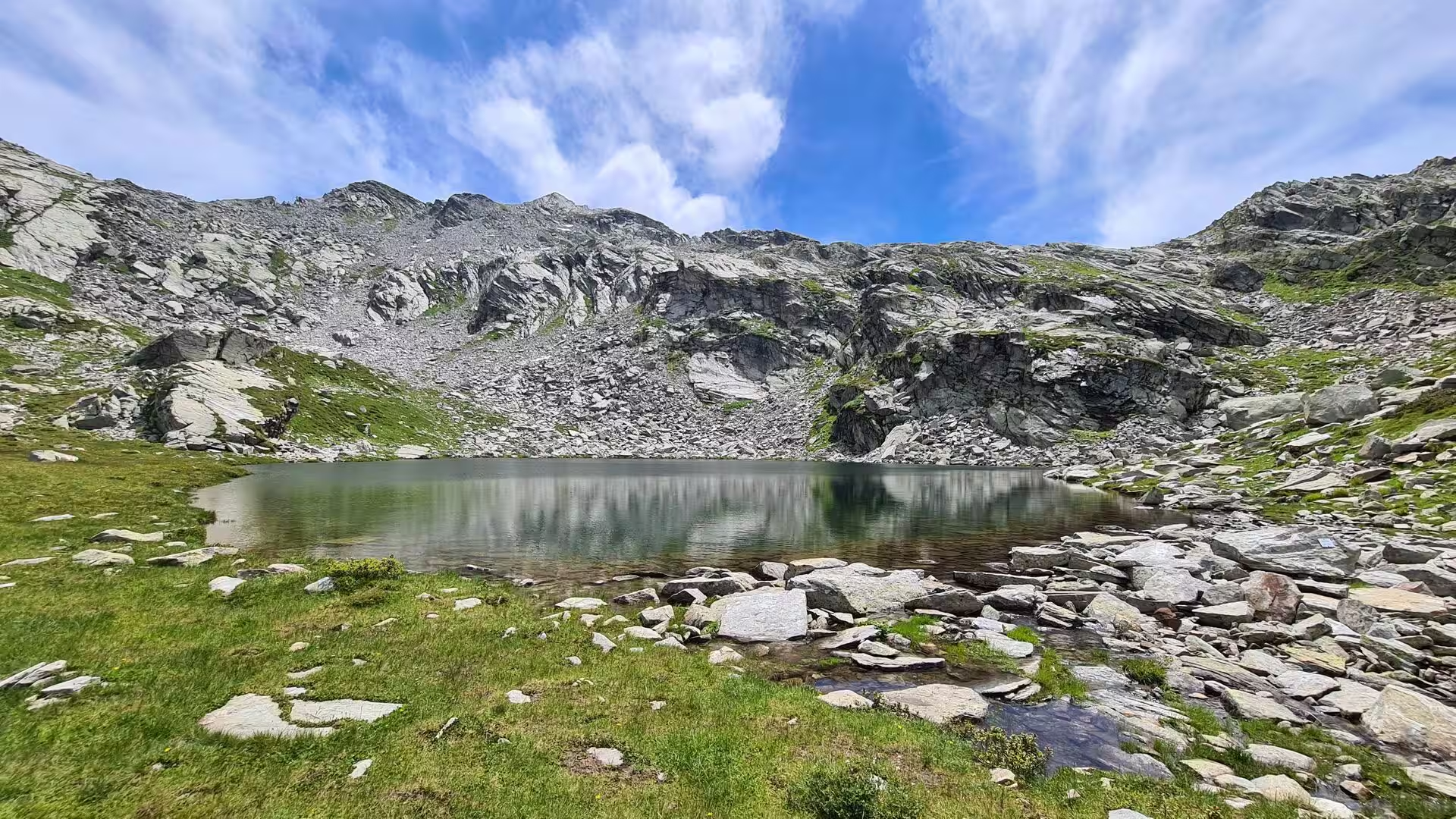
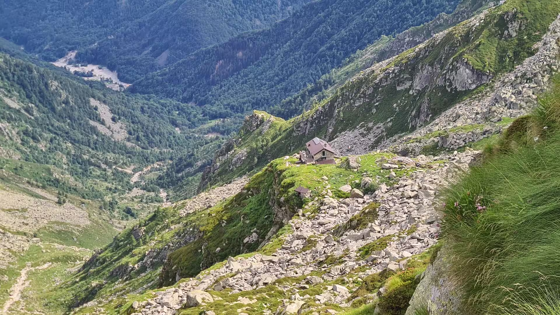
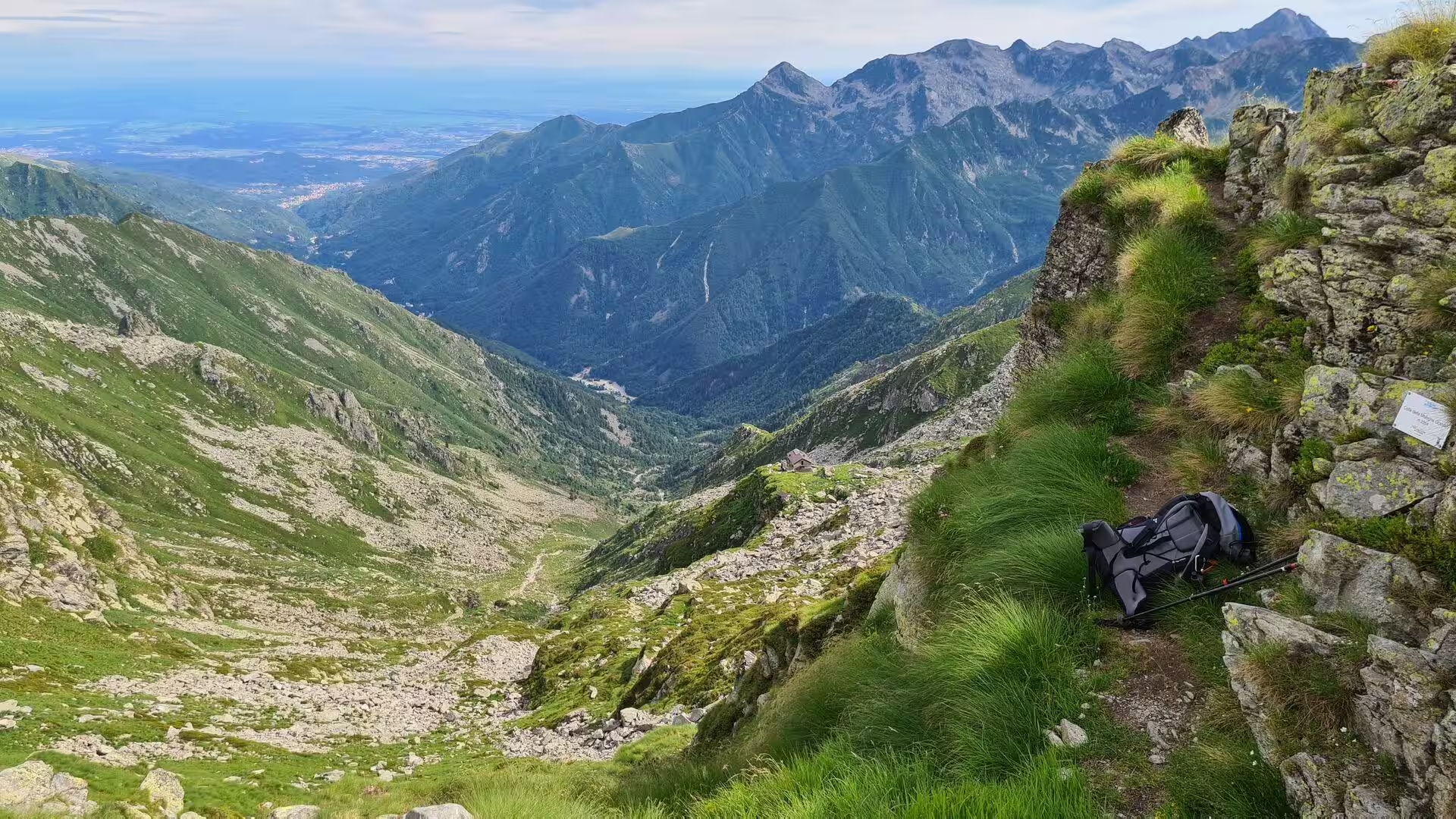
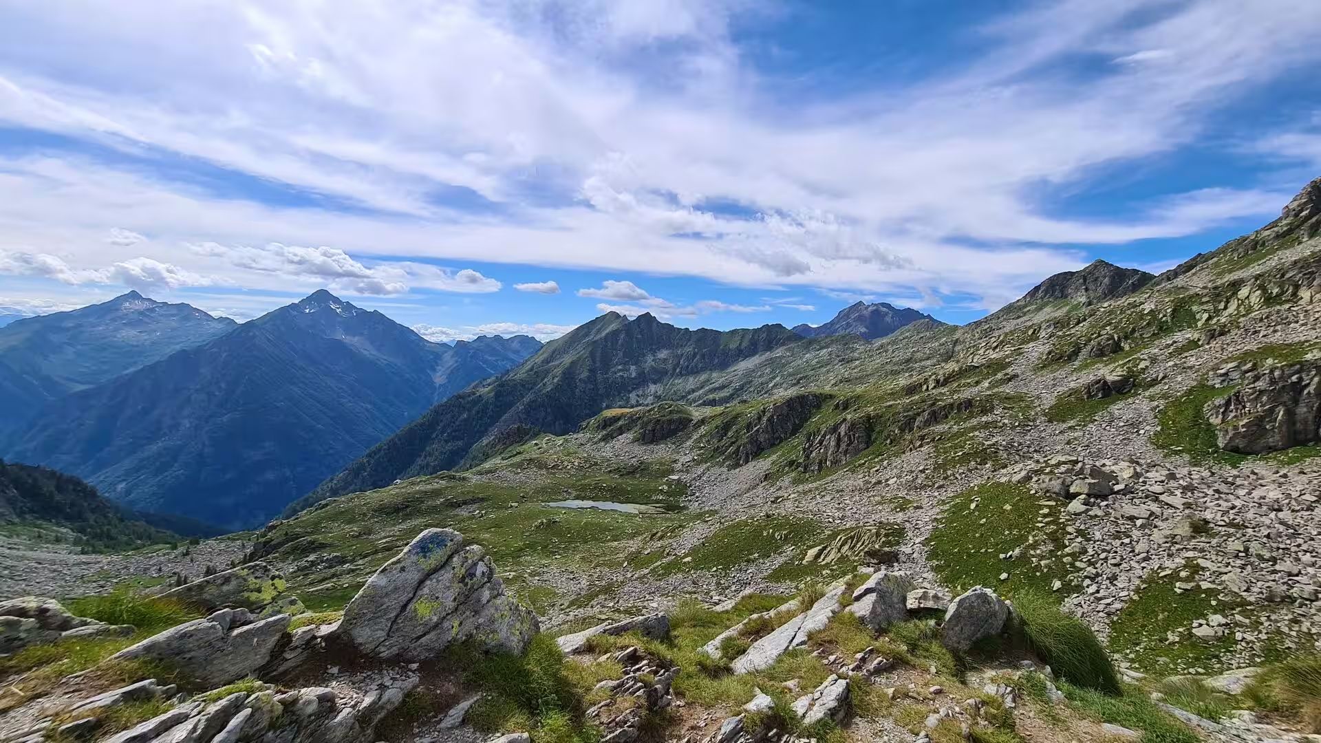
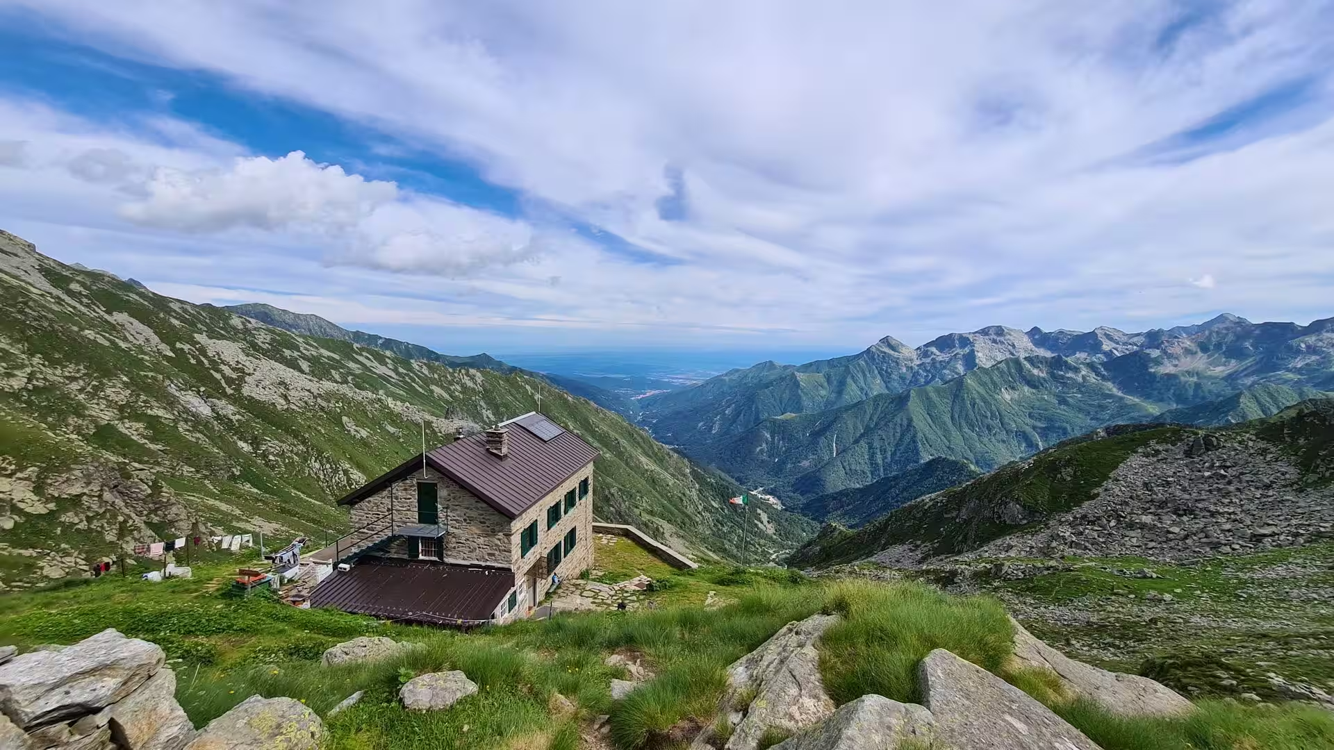
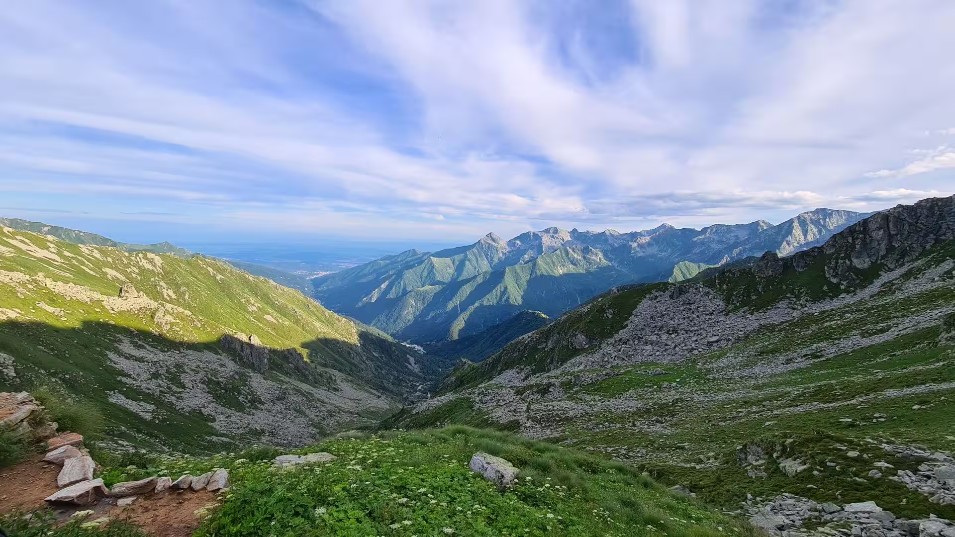
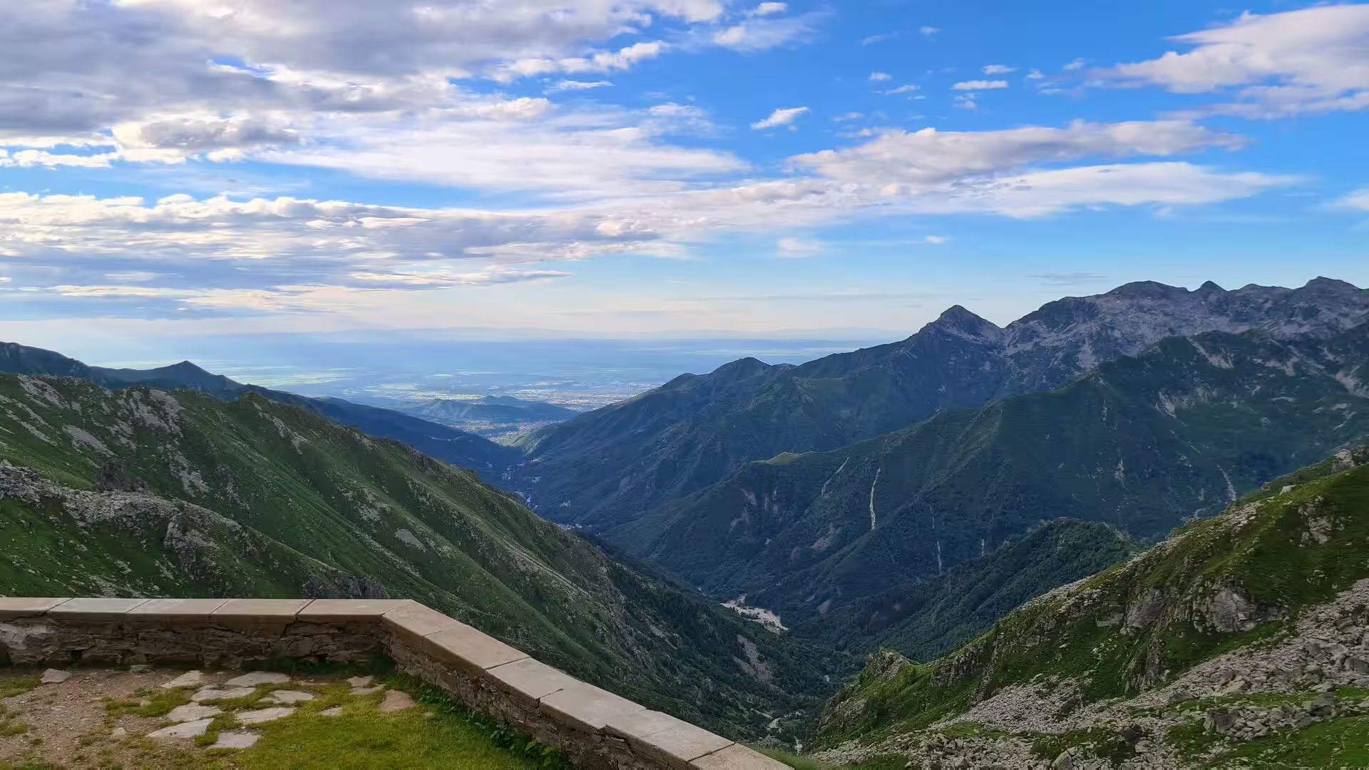
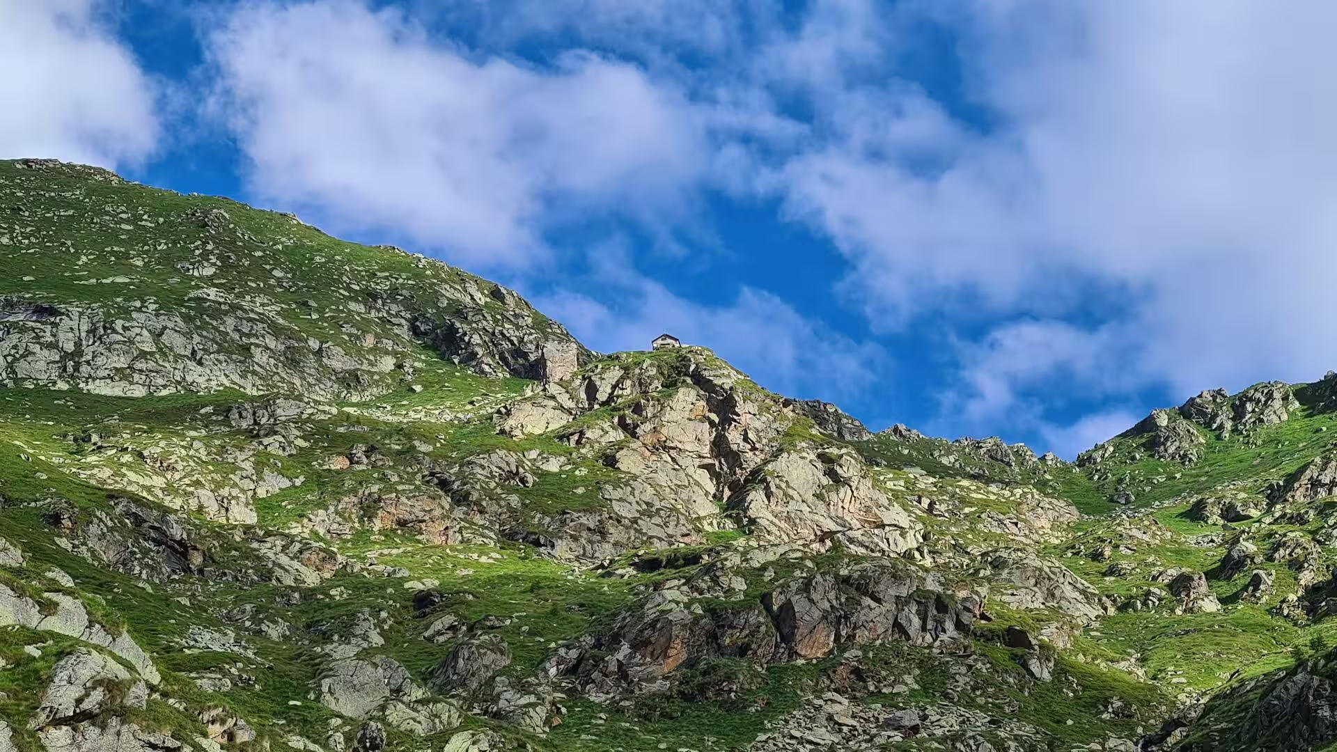
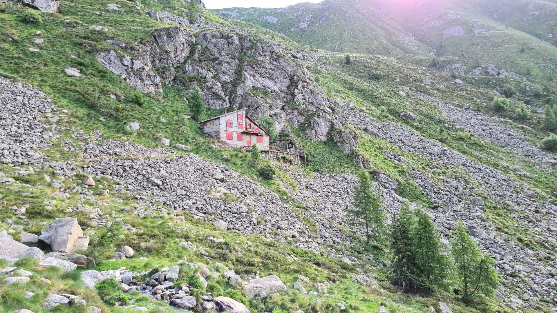
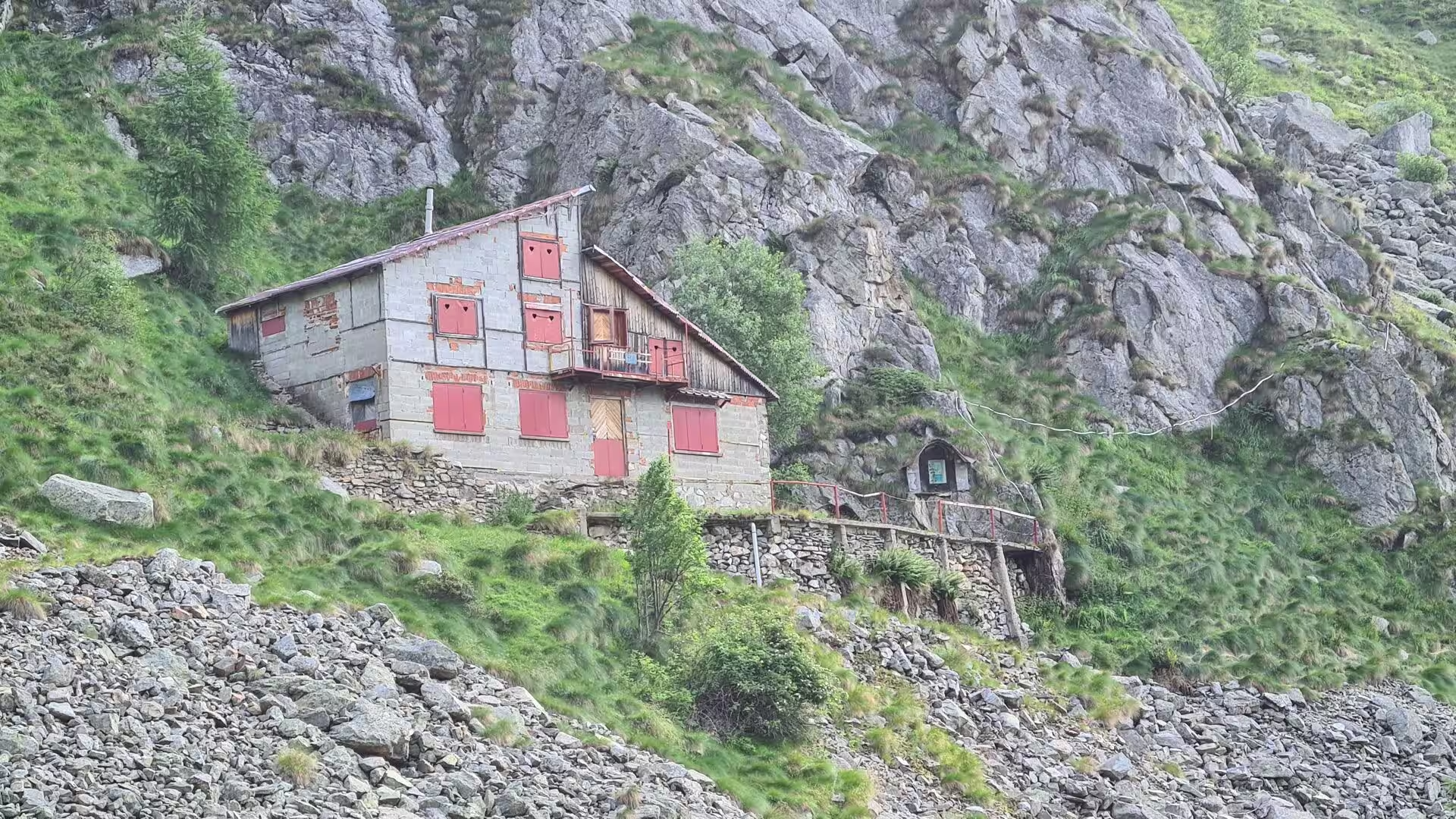
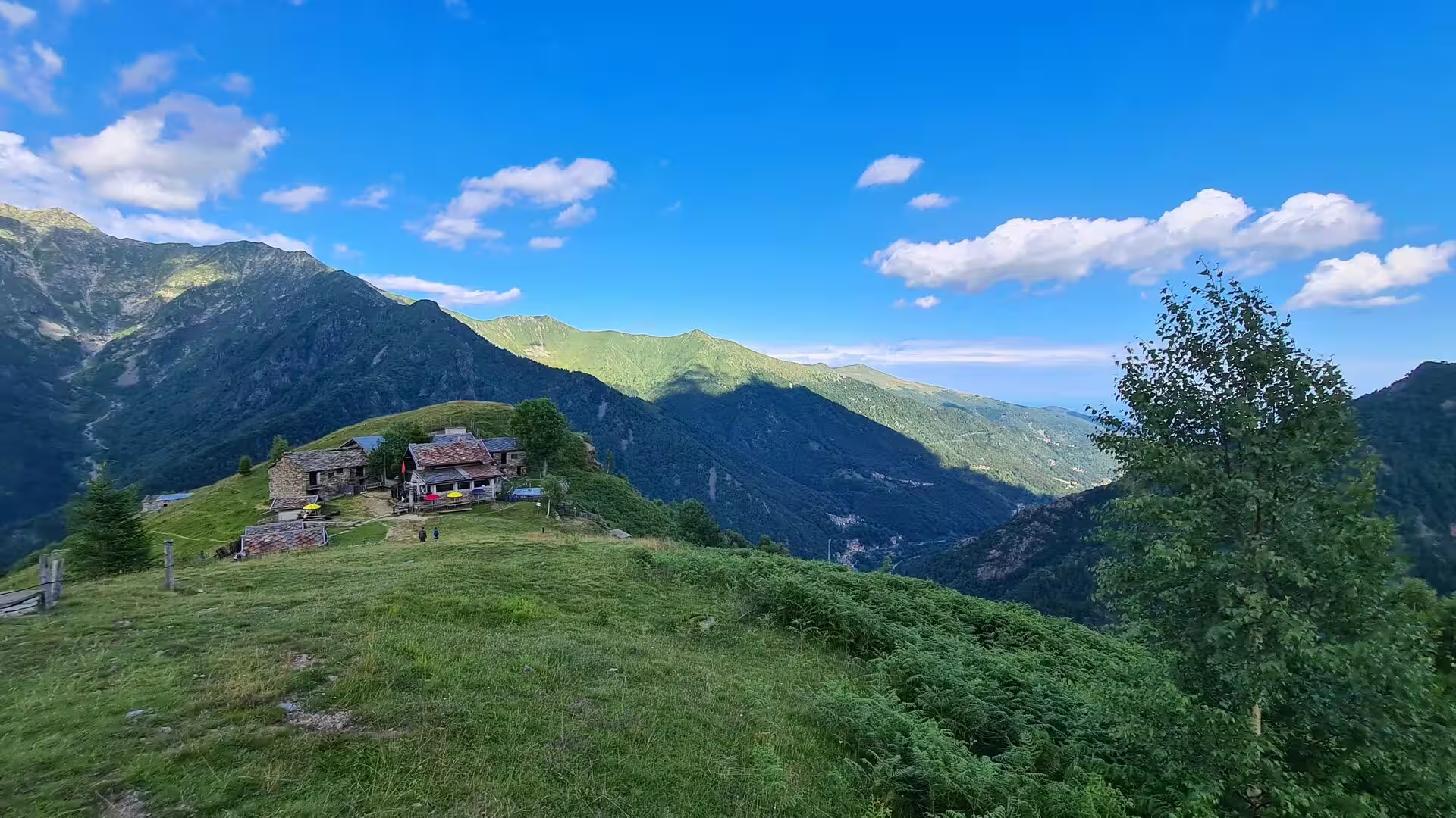
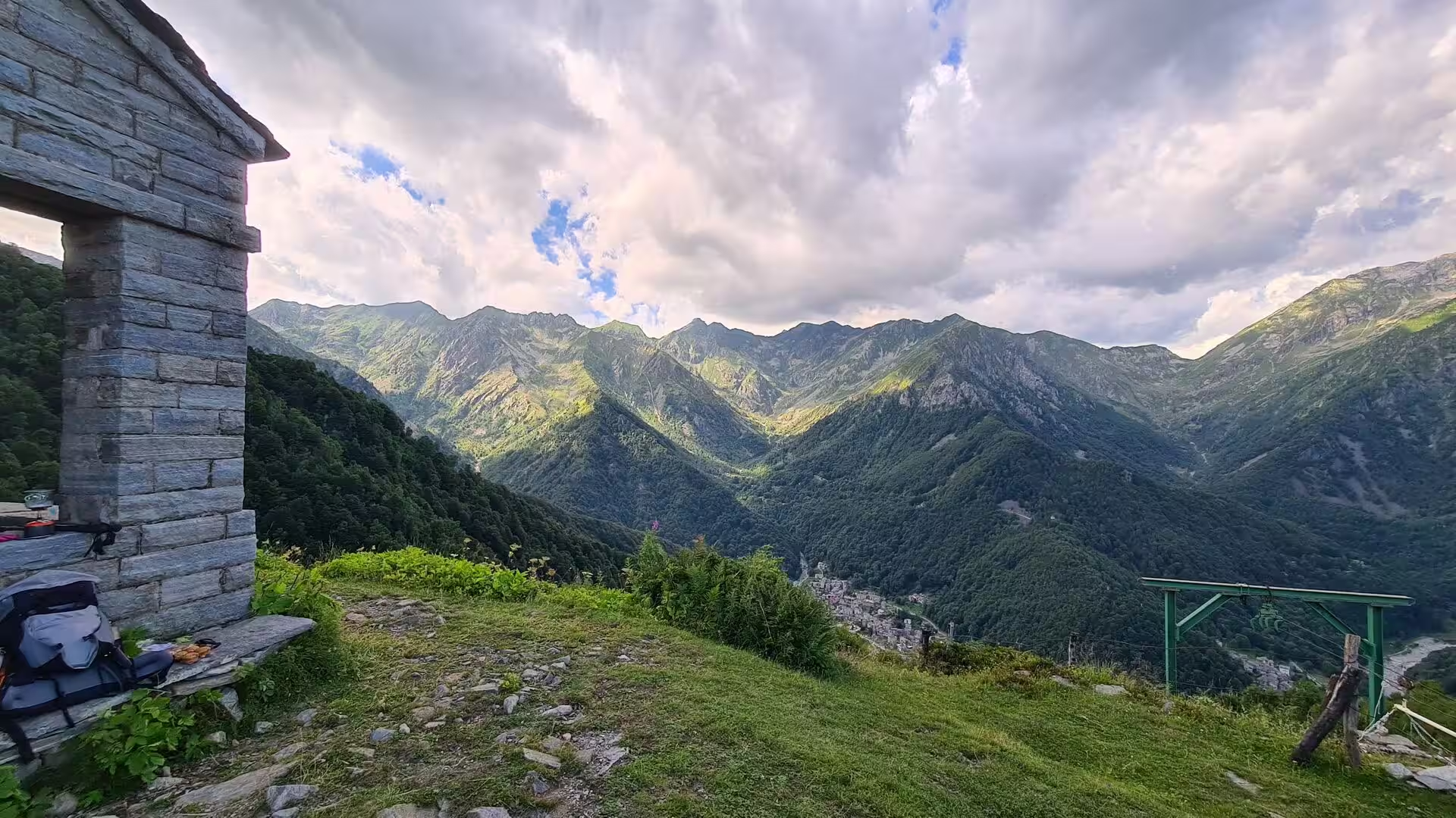
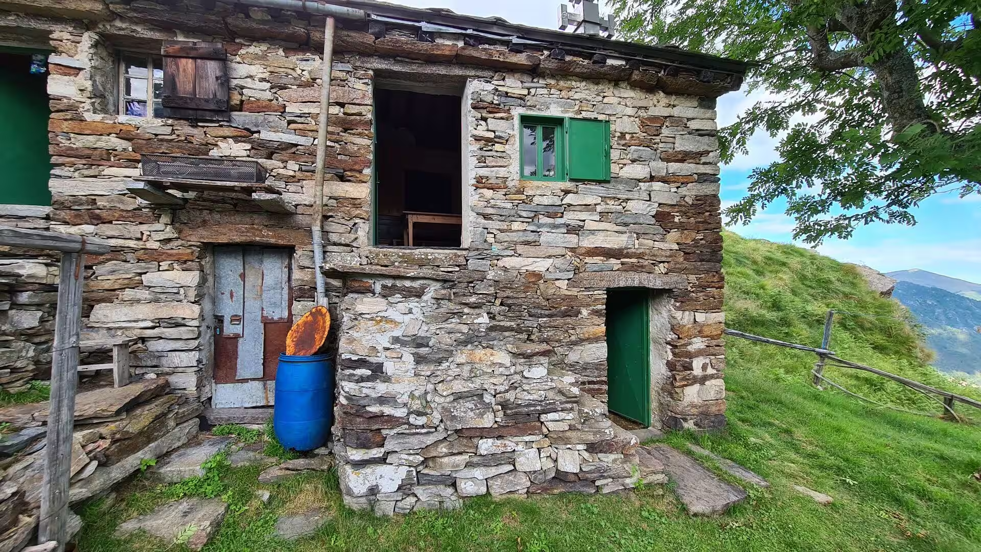
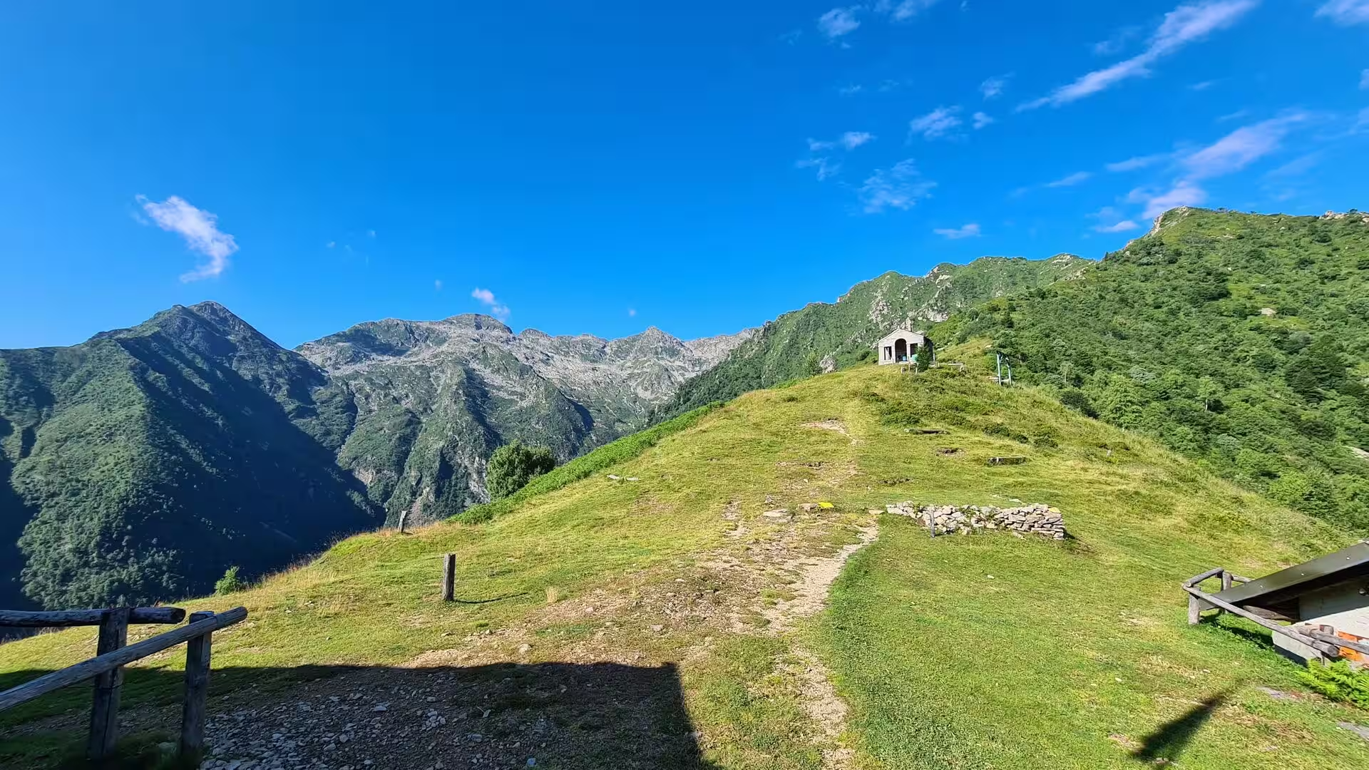
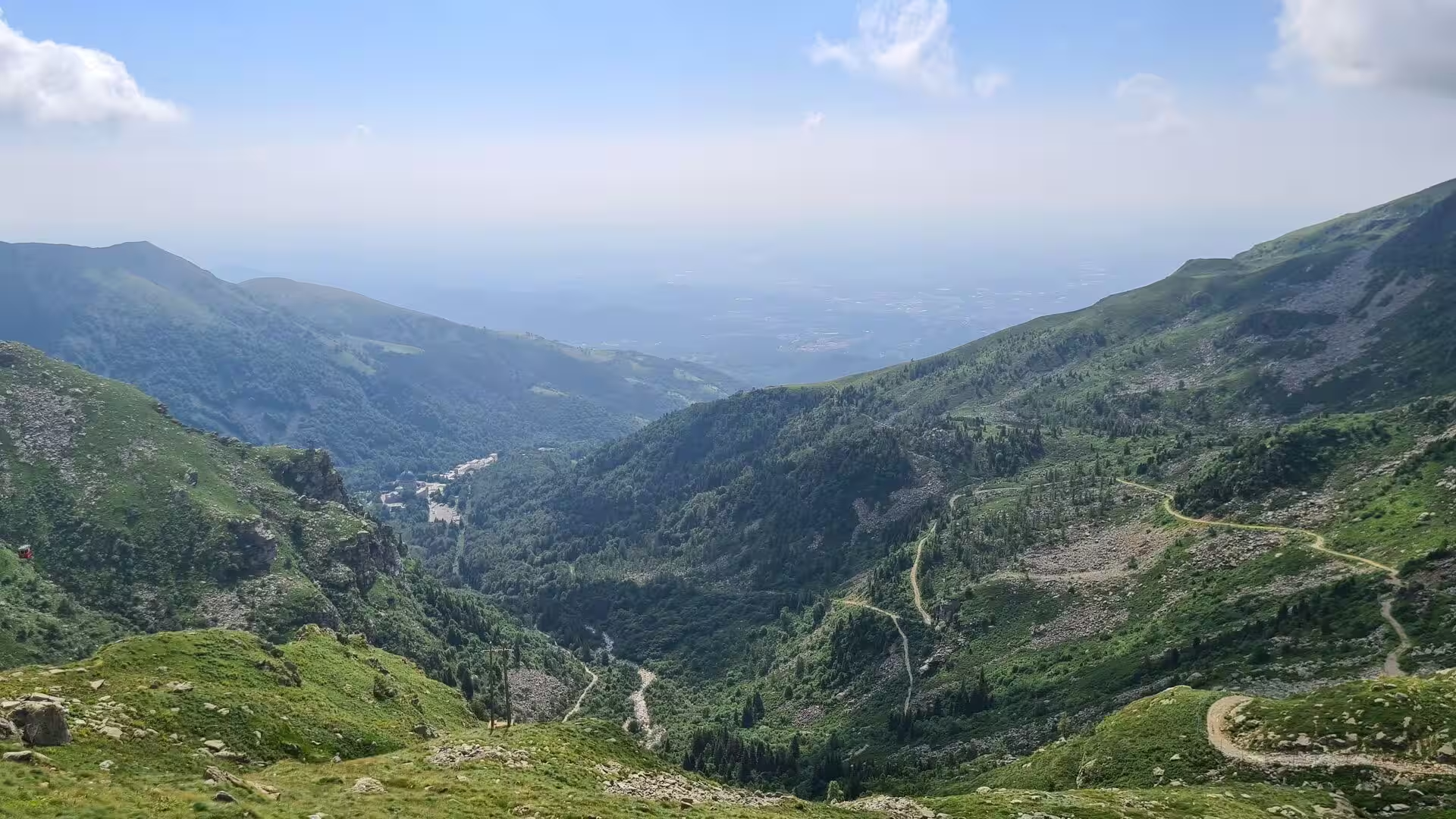
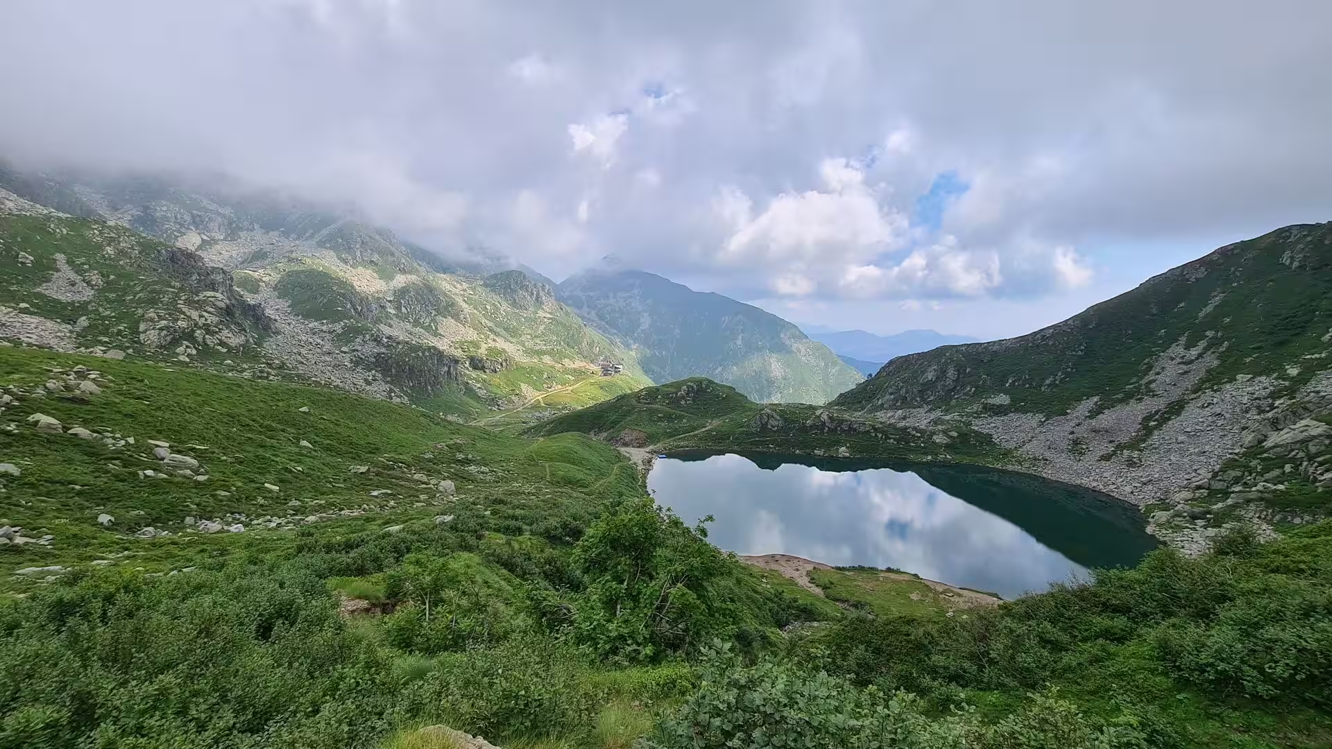
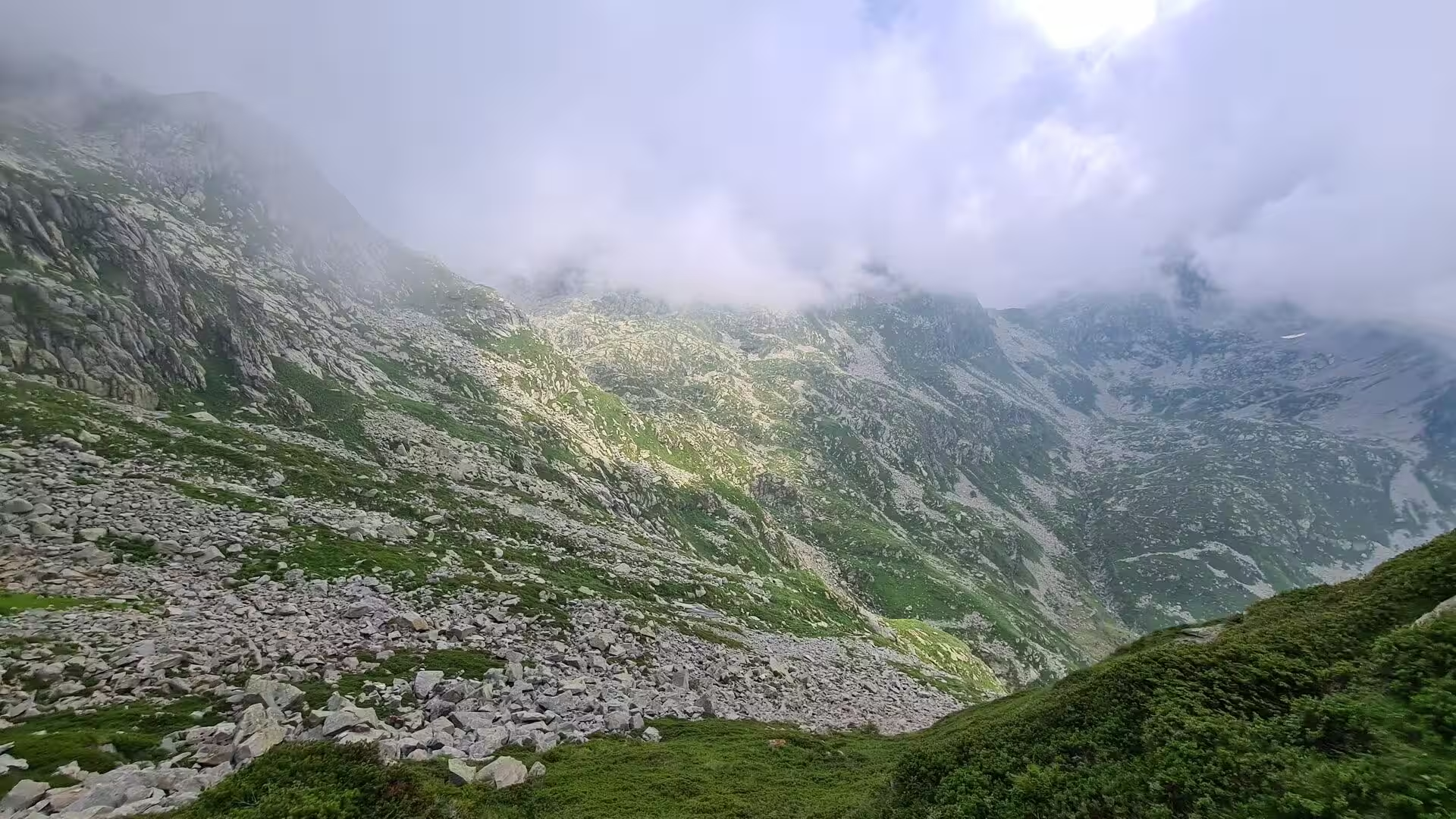
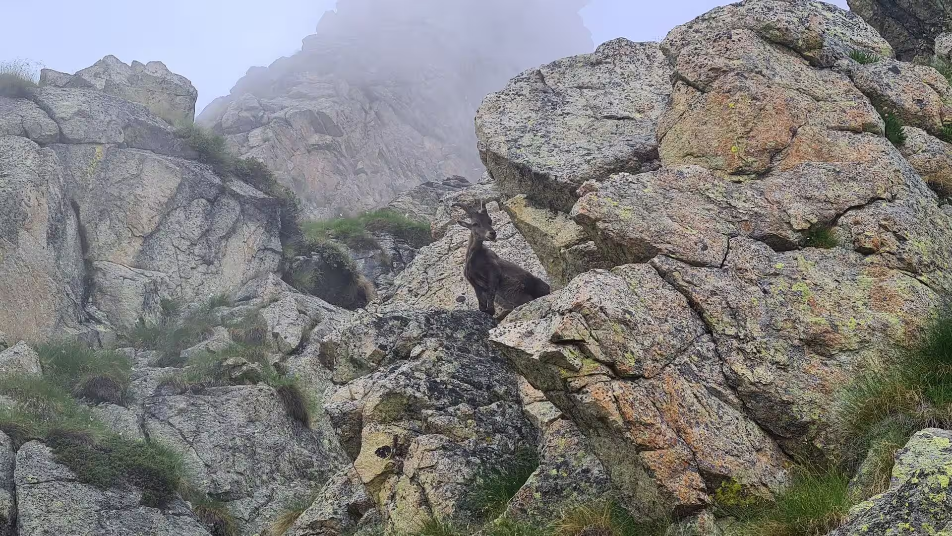
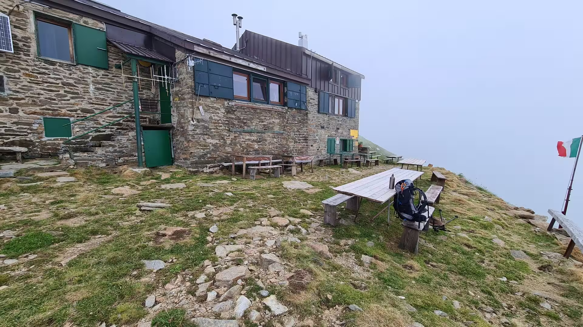
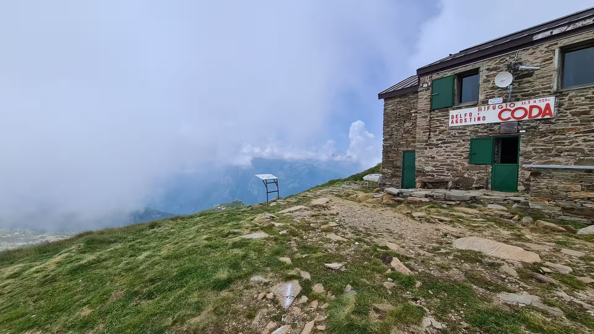
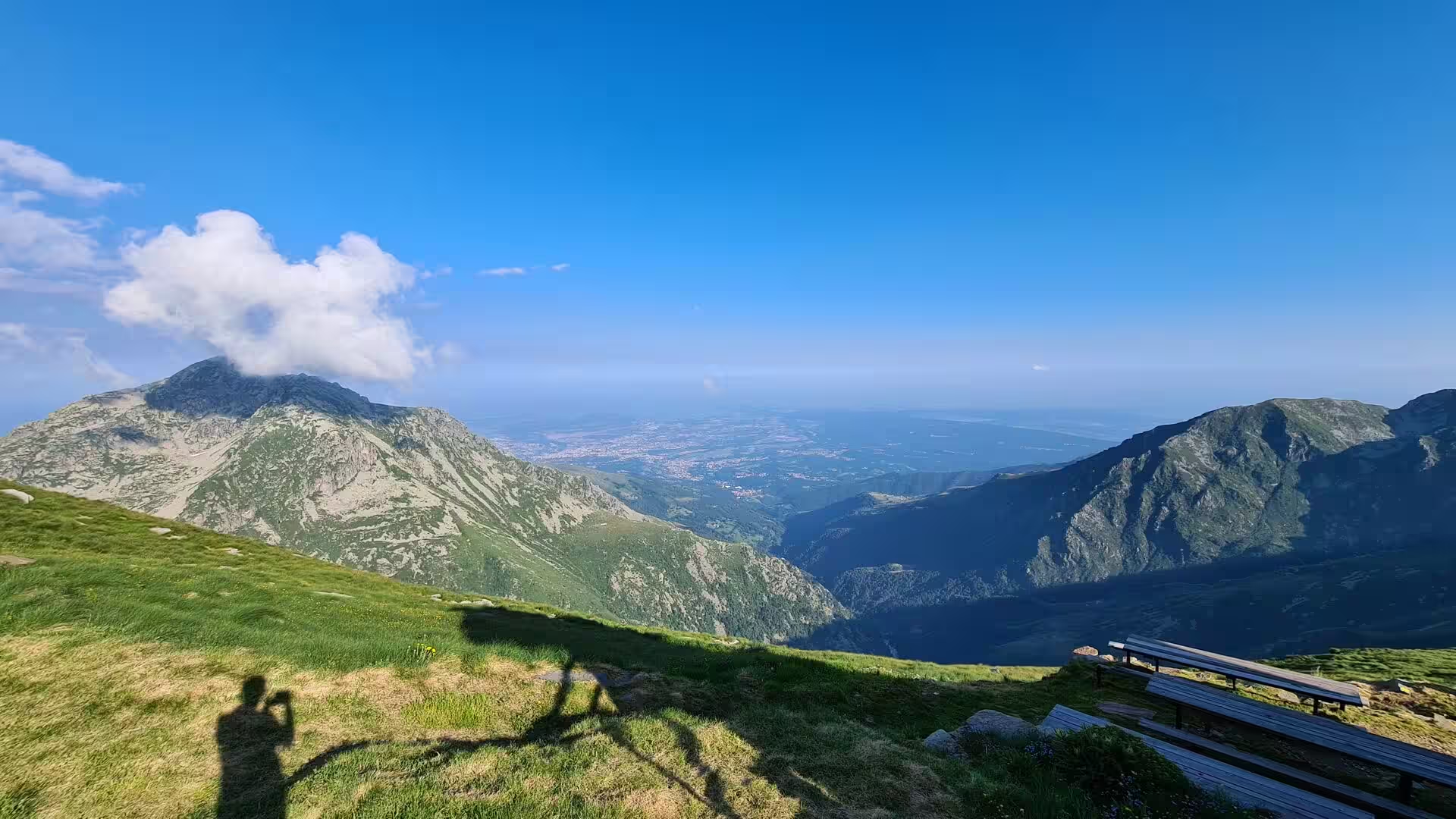
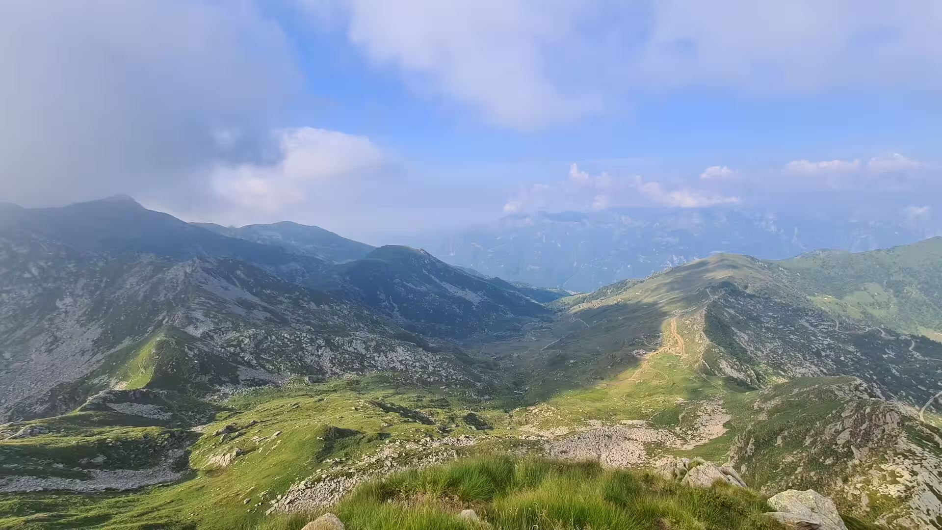
The Biella Alps offer the quietest walking of the section. The Colle della Colma leads over to Oropa, the Colle della Lace at 2,121 metres crosses to Maletto at 1,336 metres, and the tarns and springs of the high bowls lie between ridges of scree and pasture where the chamois and the marmot are at home. The Rifugio Coda at 2,189 metres, a stone hut with green shutters on a ridge above a cloud-filled valley, is the second shelter of the route here, and the view from it takes in the whole range from Monte Rosa to the plain.
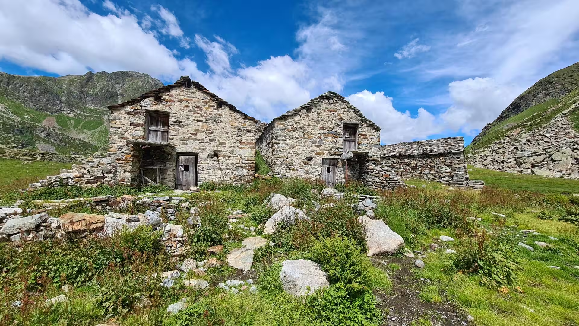
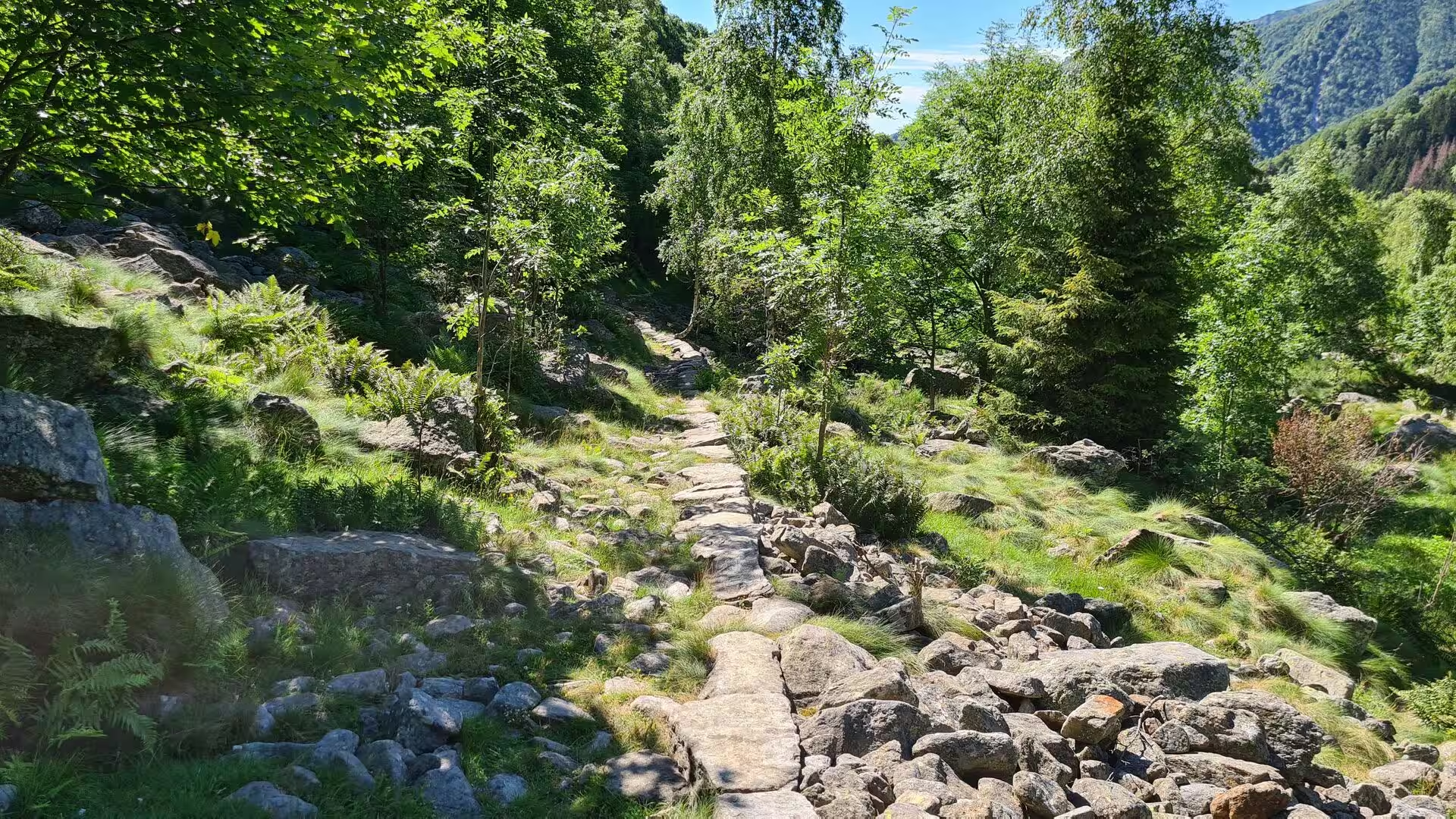
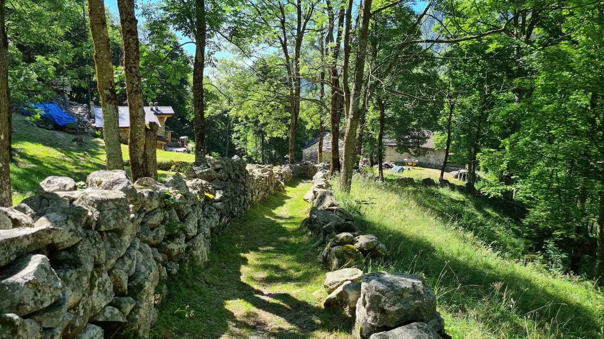
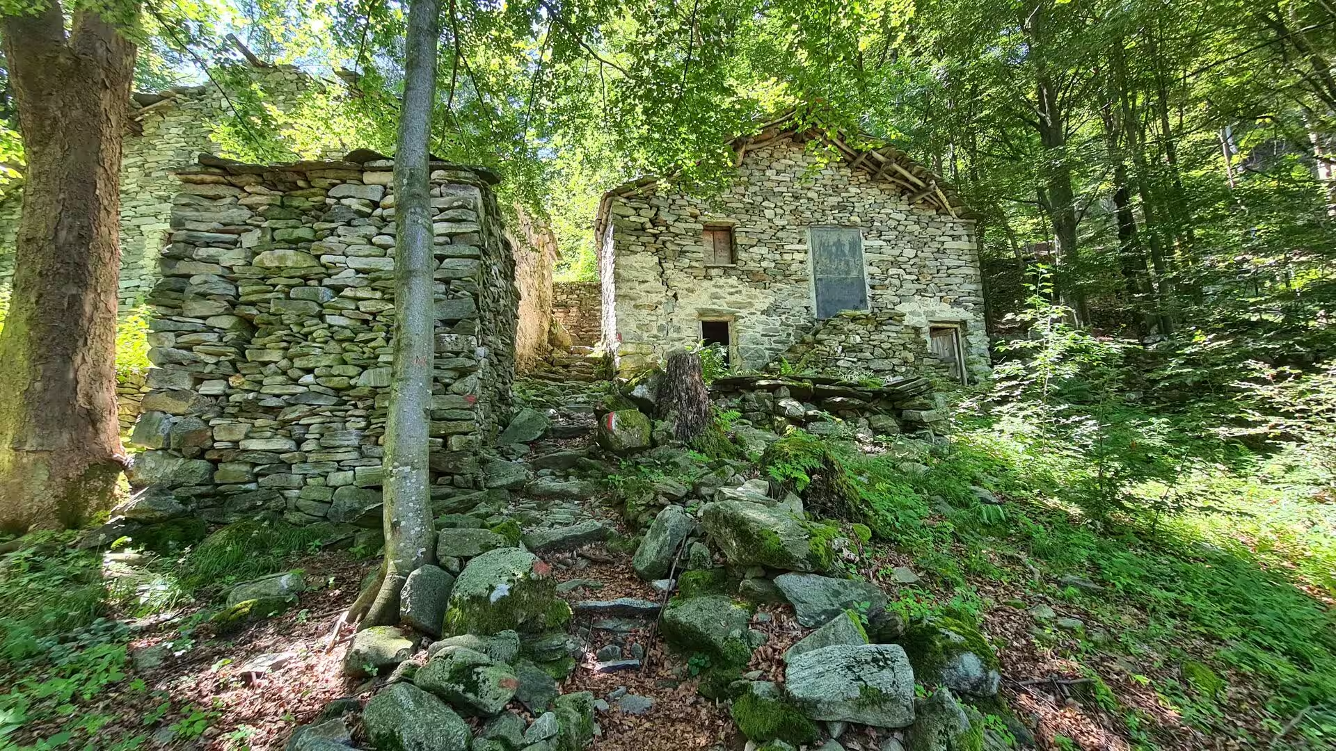
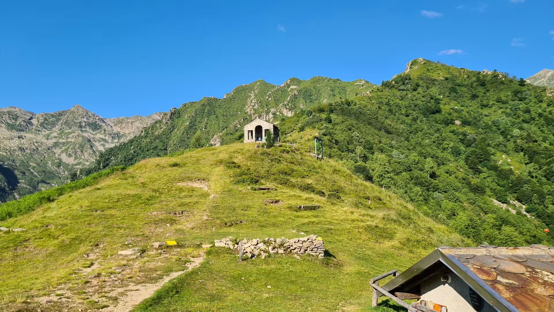
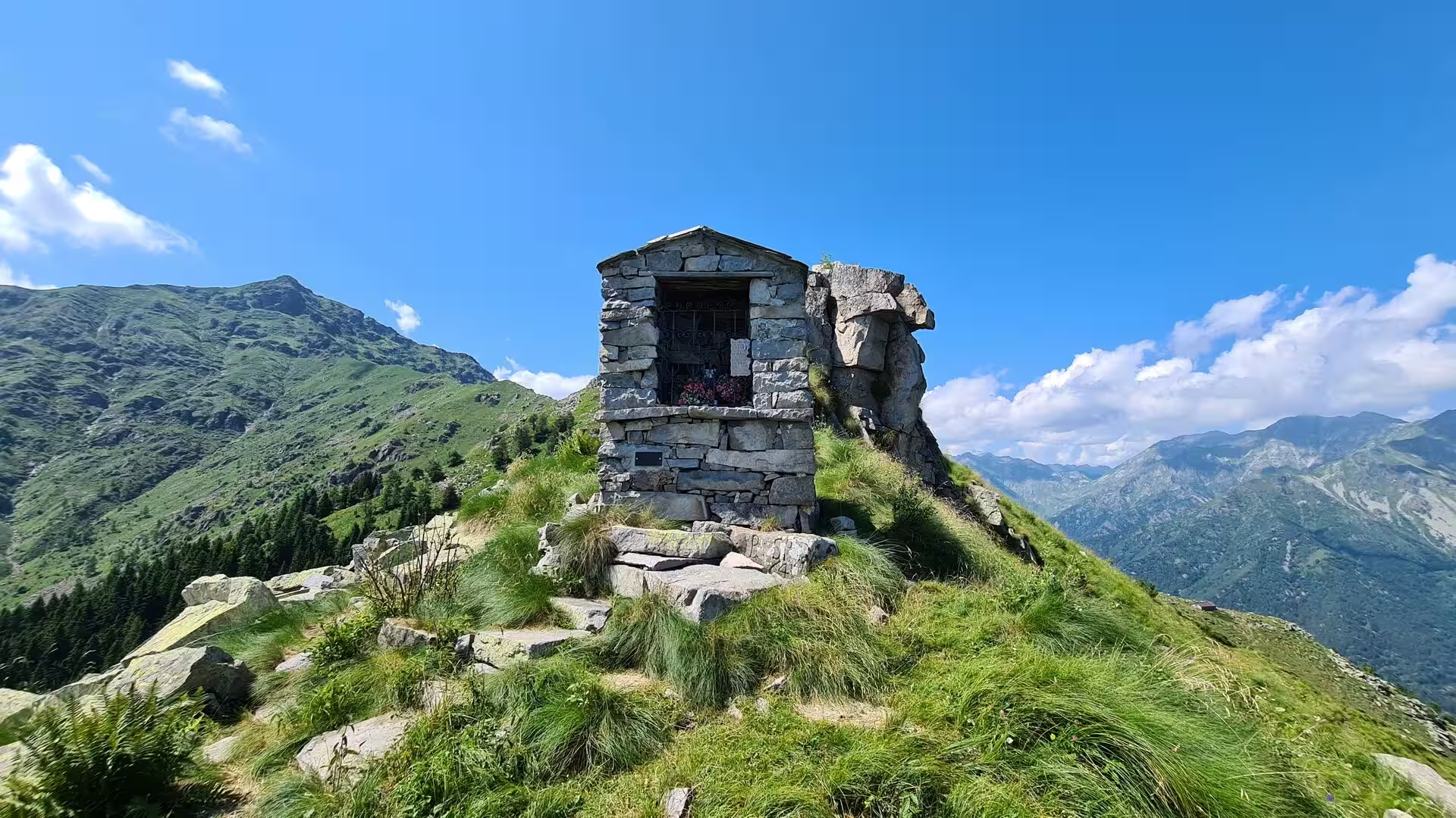
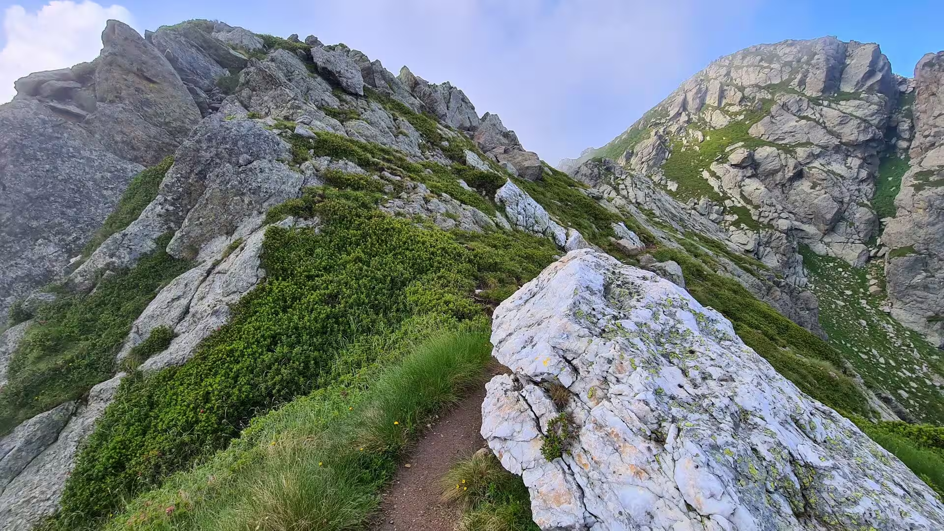
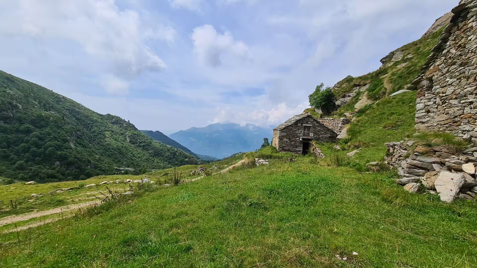
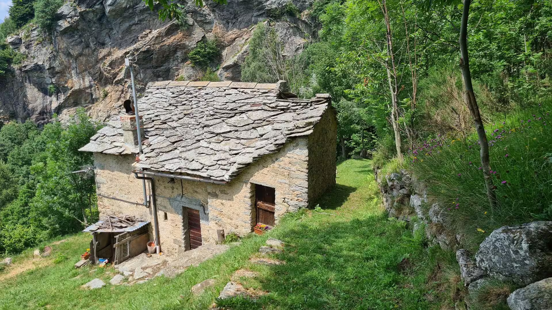
The high pastures are the working landscape of the route. Dry-stone huts with slab roofs stand in groups on the alpeggi, some still used for the summer cattle, others abandoned; the trails between them are old mule tracks, wide enough for a loaded animal and graded for it, which is why a day on the GTA rarely climbs straight up a slope. The passage secured with a steel cable and orange markers, high above the valley, is the exception that reminds the walker how much of this ground is not naturally friendly.
Below the pastures the route drops into the Canavese and its castles. Quincinetto, where the Dora Baltea enters the plain at 295 metres, is the lowest point of the whole traverse and the end of the mountain section; Ivrea, the main town of the Canavese, lies a little further south with the moraine hills and lakes of its glacial amphitheatre around it, and the castle of the House of Ivrea still looks over the valley. The industrial town of the twentieth century stands beside it, a UNESCO World Heritage Site since 2018.
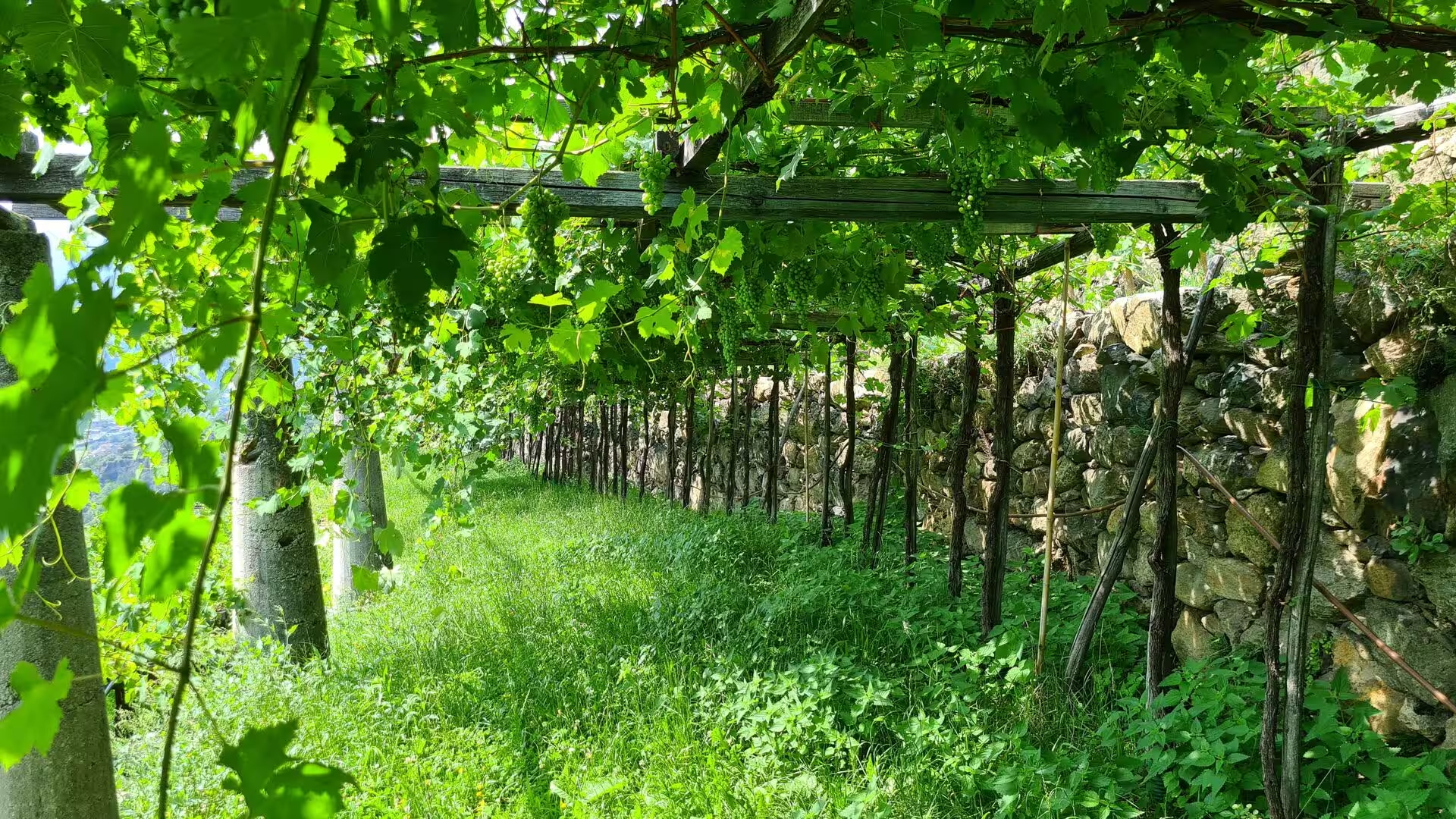
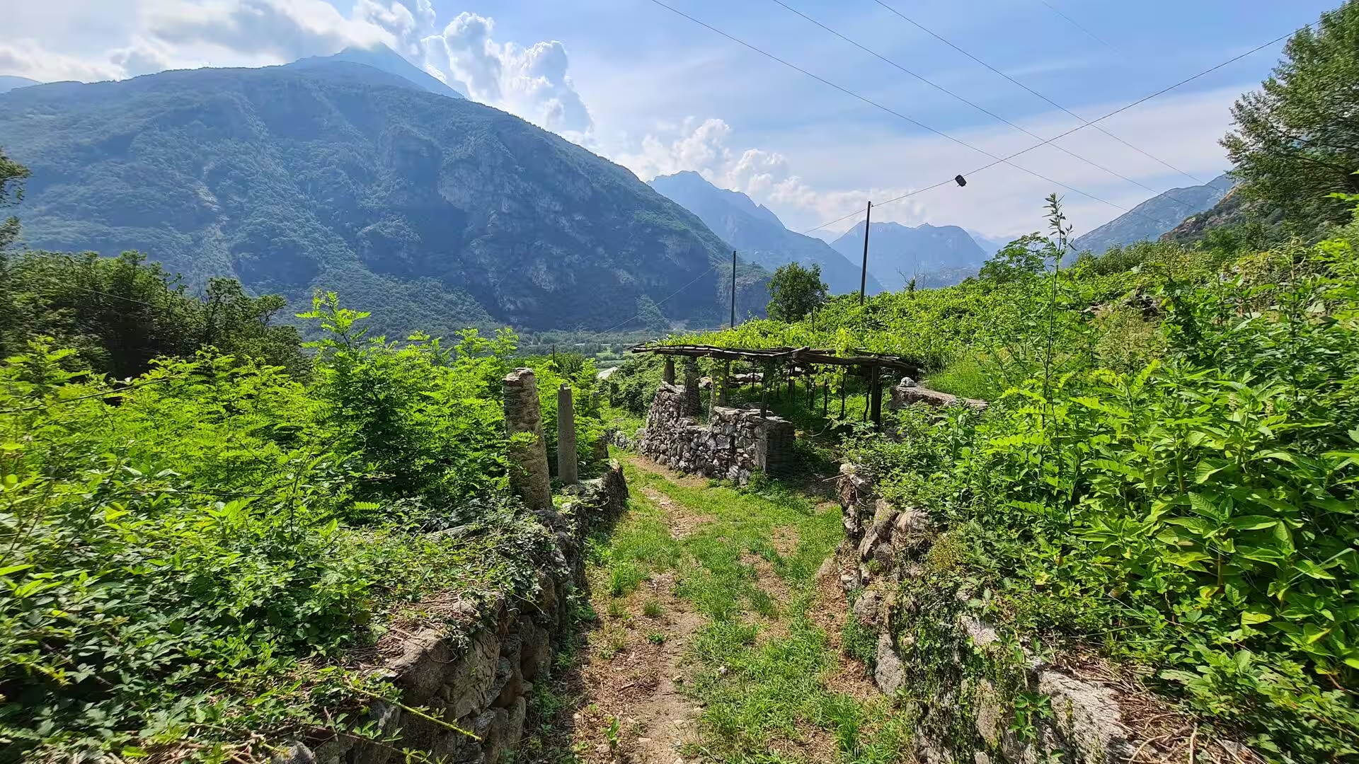
At the very end of the stretch the country turns to vineyards. Carema, on the border of the Aosta Valley, grows its red wine on terraces that climb the slopes above the village, and the vines are trained on stone columns and pergolas so that the soil stays where it is; the neighbouring villages of the lower Dora Baltea, Donnas and Pont-Saint-Martin among them, do the same. A day that begins on a pass above 2,000 metres can end between trellises at 300.
The practical shape of the section is simple. It is walked between the end of June and October, when the passes are free of snow, in stages of five to eight hours with 600 to 1,200 metres of ascent, and the posti tappa with the red and white flag should be booked ahead in the high season, because there are few beds and no large huts. Water is available in the villages and at the fountains but rarely on the ridges, the marking is irregular enough to make a map or a phone essential, and the oldest rules of the Alps still apply: start early, watch the sky, turn back in fog, and leave word of where the day is to end.
References
- Wikipedia contributors (2026). Grande Traversata delle Alpi. en.wikipedia.org/wiki/Grande_Traversata_delle_Alpi
- Wikipedia contributors (2026). Piedmont. en.wikipedia.org/wiki/Piedmont
- Wikipedia contributors (2026). Alps. en.wikipedia.org/wiki/Alps
- Wikipedia contributors (2026). Graian Alps. en.wikipedia.org/wiki/Graian_Alps
- Wikipedia contributors (2026). Penninic. en.wikipedia.org/wiki/Penninic
- Wikipedia contributors (2026). Ivrea zone. en.wikipedia.org/wiki/Ivrea_zone
- Wikipedia contributors (2026). Monte Rosa. en.wikipedia.org/wiki/Monte_Rosa
- Wikipedia contributors (2026). Alagna Valsesia. en.wikipedia.org/wiki/Alagna_Valsesia
- Wikipedia contributors (2026). Valsesia. en.wikipedia.org/wiki/Valsesia
- Wikipedia contributors (2026). Sesia (river). en.wikipedia.org/wiki/Sesia_%28river%29
- Wikipedia contributors (2026). Biella. en.wikipedia.org/wiki/Biella
- Wikipedia contributors (2026). Sanctuary of Oropa. en.wikipedia.org/wiki/Sanctuary_of_Oropa
- Wikipedia contributors (2026). Canavese. en.wikipedia.org/wiki/Canavese
- Wikipedia contributors (2026). Ivrea. en.wikipedia.org/wiki/Ivrea
- Wikipedia contributors (2026). Carema. en.wikipedia.org/wiki/Carema
- Wikipedia contributors (2026). Walser. en.wikipedia.org/wiki/Walser
- Wikipedia contributors (2026). Gran Paradiso National Park. en.wikipedia.org/wiki/Gran_Paradiso_National_Park
- Ivy-Ochs S., Monegato G., Reitner J.M. (2022) The Alps: glacial landforms from the Last Glacial Maximum. European Glacial Landscapes. 449-460. doi.org/10.1016/b978-0-12-823498-3.00030-3
- Gullino P., Larcher F., Devecchi M. (2010) THE IMPORTANCE OF THE CHESTNUT CULTIVATION AND ITS EVOLUTION IN THE PIEDMONT LANDSCAPE (NORTH-WEST ITALY). Acta Horticulturae. 37-42. doi.org/10.17660/actahortic.2010.866.1
- De Togni M., Gattiglio M., Balestro G., Roà M. (2023) Alpine structural evolution of the Internal Piedmont Zone in the Upper Viù Valley (Lanzo Valleys Ophiolite, Western Alps). Rendiconti Online della Società Geologica Italiana. 60. 16-23. doi.org/10.3301/rol.2023.27
- Ghignone S., Sudo M., Balestro G., Borghi A., et al. (2021) Timing of exhumation of meta-ophiolite units in the Western Alps: New tectonic implications from 40Ar/39Ar white mica ages from Piedmont Zone (Susa Valley). Lithos. 404-405. 106443. doi.org/10.1016/j.lithos.2021.106443
- Marcuzzi G., Tasso M. (1994) Mortality of the German linguistic isolates of the Western Italian Alps (Walser). Anthropologischer Anzeiger. 52. 239-259. doi.org/10.1127/anthranz/52/1994/239
- Bonadonna A., Peira G., Giachino C., Molinaro L. (2017) Traditional Cheese Production and an EU Labeling Scheme: The Alpine Cheese Producers’ Opinion. Agriculture. 7. 65. doi.org/10.3390/agriculture7080065
- Hull J.S., Richins H. (2016) Mountain tourism: implications and sustainable futures. Mountain tourism: experiences, communities, environments and sustainable futures. 363-369. doi.org/10.1079/9781780644608.0363
- Gerosa G., Finco A., Negri A., Marzuoli R., et al. (2013) Ozone Fluxes to a Larch Forest Ecosystem at the Timberline in the Italian Alps. Management Strategies to Adapt Alpine Space Forests to Climate Change Risks. doi.org/10.5772/56282