2023 Australia - January
7 May 2023






















Journal Notes
General
Sydney is the largest city of Australia and the capital of the state of New South Wales. It lies on the east coast, between the Pacific Ocean and the Blue Mountains, and in 2021 the population of the city and its suburbs passed 5.2 million, with about forty per cent born overseas. The metropolis surrounds the great inlet of Port Jackson, better known as Sydney Harbour, and spreads along the ocean shore and the river valleys that run inland from it.
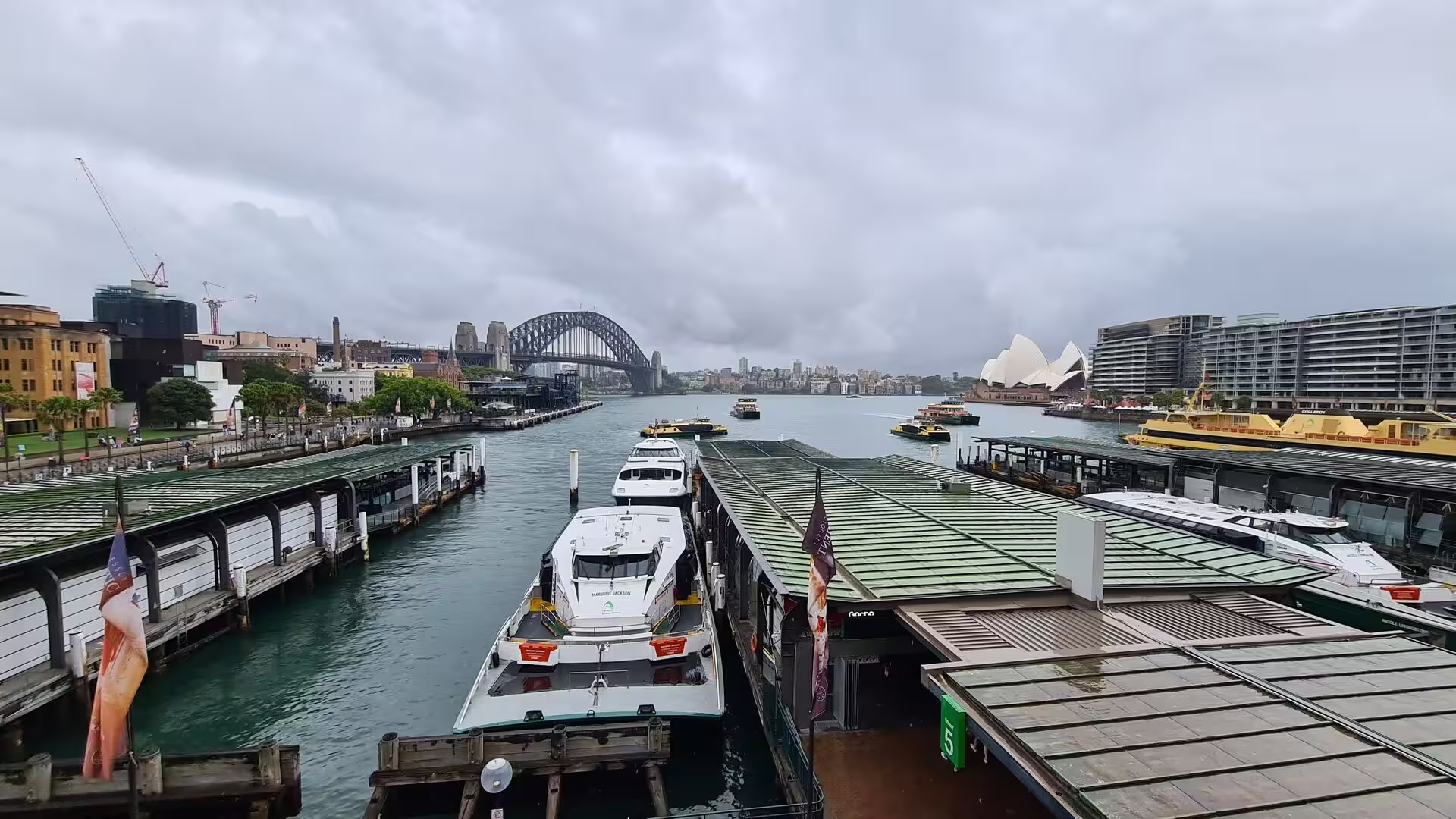
The heart of the city is the harbour. Port Jackson is not a simple bay but a maze of coves, points and side arms, and Sydney has grown around its shores: the central business district rises on the southern side, the older residential quarters climb the northern shore, and the two halves are joined by the steel arch of the Harbour Bridge. At the head of Sydney Cove lies Circular Quay, the landing place of the colony and now the busiest of the harbour ferry terminals.
Sydney is a city of stone and water. The centre is compact, its office towers gathered around green parklands and the sandstone public buildings of the nineteenth century, with the slender shaft of the Sydney Tower above them. At the western edge of Sydney Cove the historic quarter of The Rocks climbs the ridge behind the quay. Further out, the suburbs of the harbour shore step down to their own jetties, beaches and parkland foreshores.
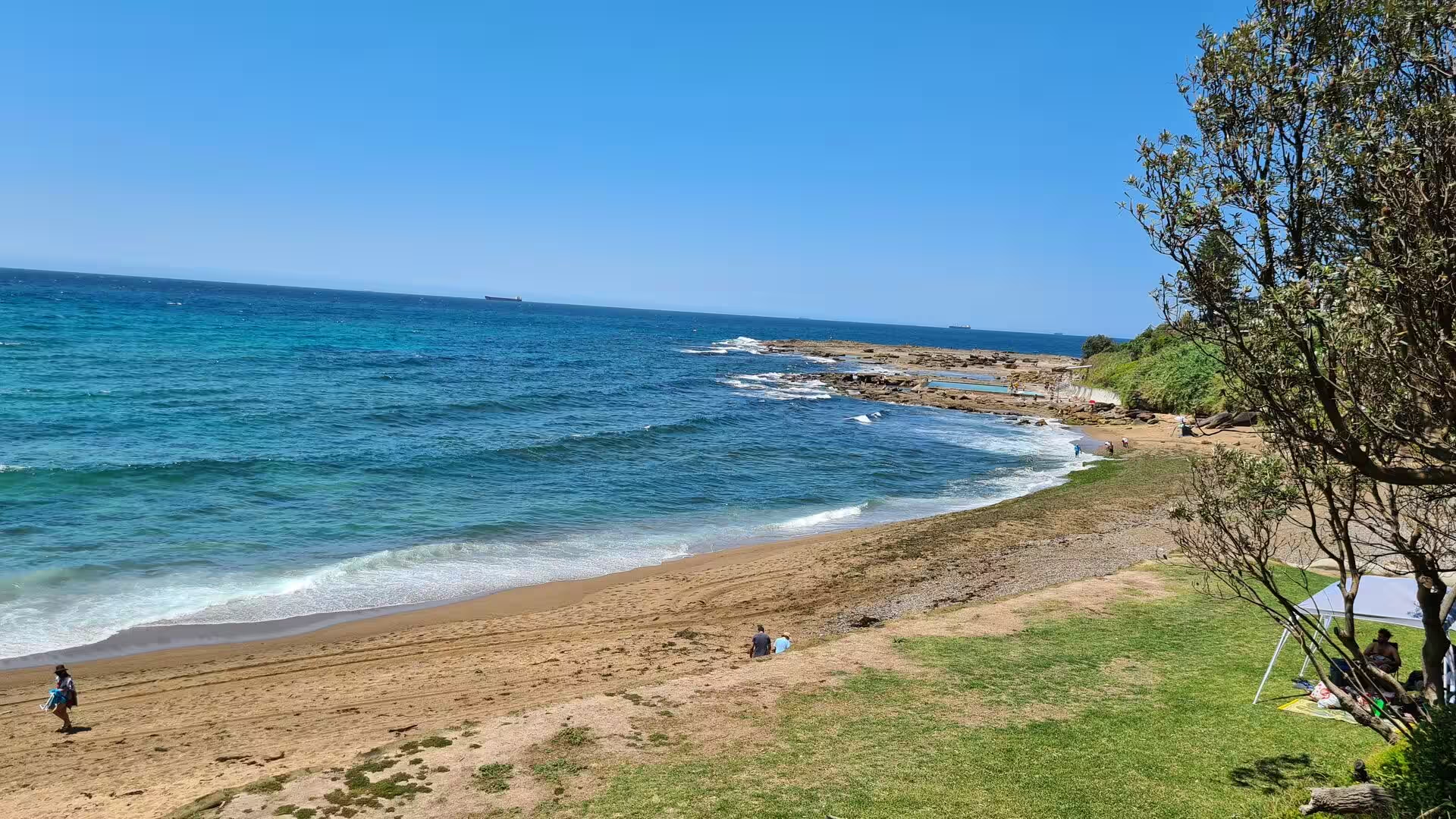
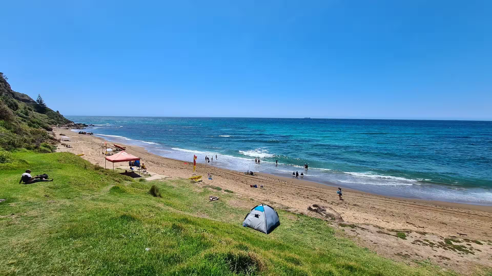
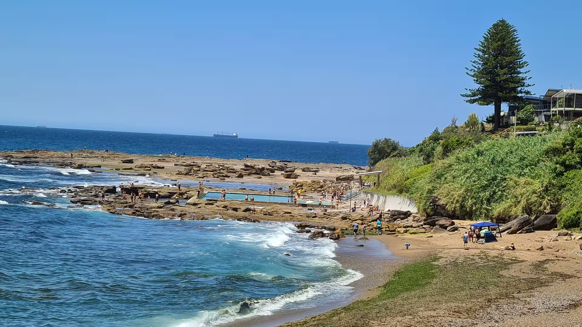
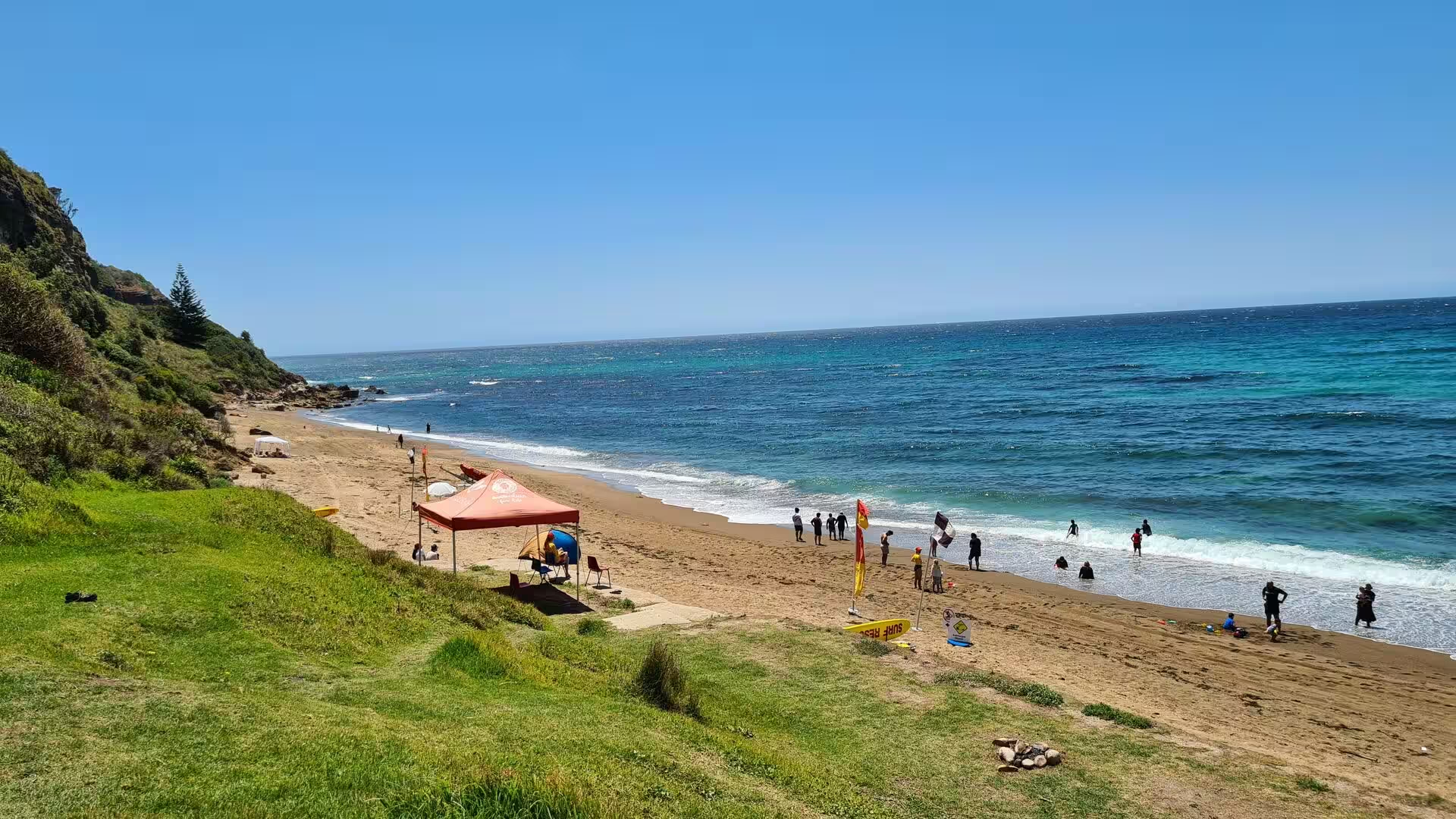
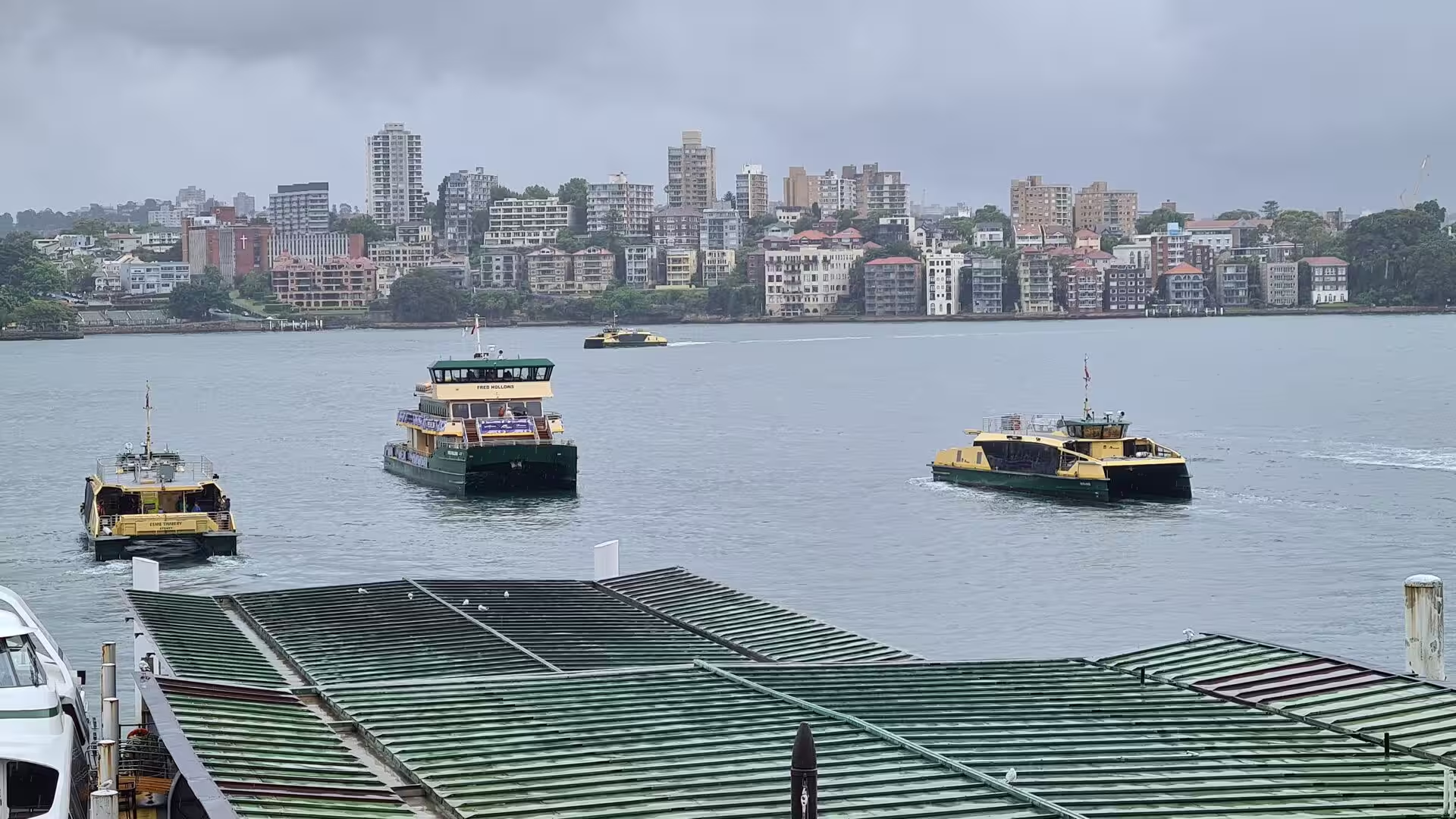
Beyond the Heads the city meets the open ocean. Long beaches of white sand curve between rocky headlands, waves break over platforms of stone, and the coastal walks follow the clifftops from beach to beach. On a summer day the surf beaches fill with swimmers, while the sheltered coves of the harbour offer calmer water, and the ferries cross the harbour day and night below the Opera House and the Bridge.
The coastal belt of New South Wales reaches far beyond the city, and the country described in this account lies almost entirely within it. To the north the shore is broken by Broken Bay and the drowned valley of the Hawkesbury River, and beyond them the beaches and estuaries of the Central Coast lead on to Newcastle at the mouth of the Hunter River. To the south the same coast runs past the Royal National Park to the Illawarra, the narrow plain between the surf and a rainforest-covered escarpment whose principal city is Wollongong. Both directions lie within a day of Sydney by road or rail, and both belong to the same geological basin as the city itself.
History
The shores of Port Jackson have been inhabited for tens of thousands of years. The traditional owners of the land on which Sydney stands are the clans of the Eora people; the Gadigal, whose country runs along the southern shore of the harbour from South Head to Darling Harbour, called their territory Gadi. Before the arrival of the British, between four and eight thousand Aboriginal people lived in the greater Sydney region, and their rock engravings and ceremonial sites survive in the sandstone of the coast.
Europeans first saw the harbour in 1770, when James Cook, sailing north in the Endeavour, named the inlet Port Jackson after Sir George Jackson of the Admiralty. Eighteen years later the First Fleet arrived under Governor Arthur Phillip, eleven ships carrying more than a thousand people, of whom 736 were convicts. After examining Botany Bay, Phillip sounded the entrance of Port Jackson and on 26 January 1788 landed at the cove that he named Sydney Cove, after Thomas Townshend, Lord Sydney, the Home Secretary of the day; the Aboriginal name of the cove was Warrane. There he established the first European settlement of Australia, considering the name Albion before Sydney prevailed.
Early Sydney was a convict colony on a remote shore. From the cove the settlement climbed the ridge of The Rocks and spread along the water; Sydney was declared a city in 1842, and by the middle of the nineteenth century it had become a prosperous port. Its population grew from about 95,000 in 1861 to nearly 390,000 in 1891, and the growing city clothed itself in the local sandstone: the University of Sydney, the Australian Museum, the Town Hall and the General Post Office all rose in the yellow stone of the district.
The coast outside the city developed along its own lines. Newcastle began as a convict station in 1804, when thirty four prisoners were landed at the Hunter River to work the coal seams, coal having been shipped from the harbour five years earlier, and the town grew into the great coal port of the state. South of Sydney the Illawarra was settled by cedar cutters and graziers, and Wollongong lived from coal mining and from the tramway that carried coal down from Mount Keira to its wharves. To the north of Wollongong the road through Stanwell Park, Coalcliff and Clifton was cut along the foot of the escarpment, and remained the only direct route to Sydney until the present bridges opened in 2005.
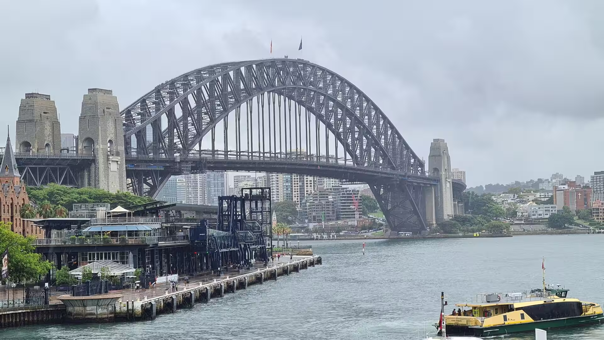
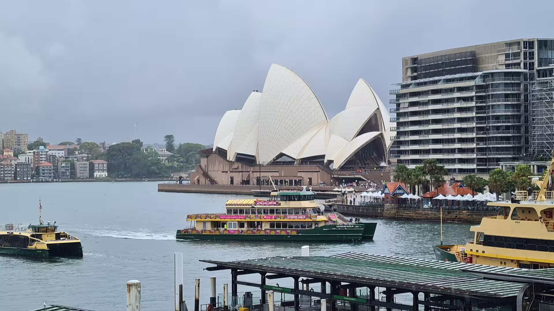
The twentieth century gave Sydney its modern skyline and its two great symbols. The Harbour Bridge, designed under the direction of John Bradfield and built by the British firm Dorman Long, opened in 1932, its steel arch quickly nicknamed the Coathanger. The Opera House, designed by the Danish architect Jorn Utzon after his victory in the international competition of 1957, was built on Bennelong Point and opened by Queen Elizabeth II on 20 October 1973; the Sydney Tower opened to the public in 1981.
Since the 1980s immigration from Asia, the Middle East and Africa has reshaped Sydney into one of the most cosmopolitan cities of the world, and the old harbour town has become a global city of finance, culture and tourism. The same decades carried the suburban railway north to Newcastle and south to Wollongong. Yet the water still defines the region: the ferries run their old routes, and the Opera House and the Bridge remain the face of Sydney to the world.
Geology
Sydney stands on a coast shaped by the rise of the sea. The city lies on the sandstones of the Sydney Basin, sedimentary rocks laid down in the Triassic period, which form the cliffs of the harbour entrance and the platforms of the ocean shore and weather into the golden bluffs of the headlands. The basin reaches from Newcastle in the north to Nowra in the south, and the coal measures beneath its margins are the reason for the industrial ports of Newcastle and Port Kembla.
The most striking feature of the coast is the harbour itself. Port Jackson is a drowned river valley, a ria: before the last ice age the rivers of the region cut deep valleys to a shore far lower than today’s, and when the ice melted and the sea rose, the ocean flooded those valleys to make the branching inlet of the harbour. The same process shaped Broken Bay and the lower Hawkesbury, where the drowned valley of a larger river reaches the sea north of Barrenjoey Head.
To the east the drowned valleys give way to the open coast, where the sea has carved the sandstone into cliffs, platforms and rocky coves and the sand carried along the shore has built the long beaches between the headlands. South of the harbour entrance lies Botany Bay, the broad shallow bay where Cook landed in 1770 and where the First Fleet anchored before moving north, fed by the Georges and Cooks rivers.
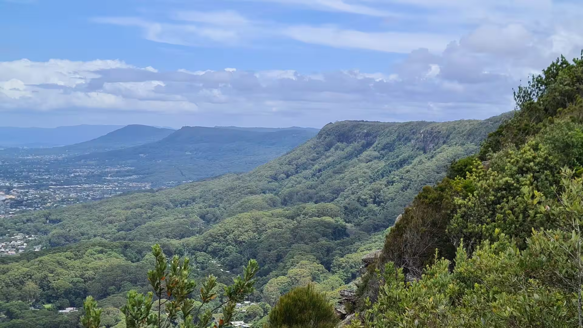
South of Sydney the geology turns vertical. The Illawarra escarpment is a wall of rock rising behind the coastal plain from Stanwell Park to the Shoalhaven, built of folded beds of the Sydney Basin and capped by the same Hawkesbury sandstone as the city. It was created between 225 and 280 million years ago and has since been worn back by creeks into the cliff of today, its face mostly sandstone with great boulders lying on the slopes below; its highest ground stands at about 800 metres on the plateau behind the coast, and because the eastern slopes catch the moist sea air the escarpment carries patches of rainforest close to the surf.
Behind the coastal plain the sandstone country continues west as the Blue Mountains, a plateau cut by gorges that forms the western boundary of the Sydney region. Much of that country is protected in the Greater Blue Mountains Area, listed by UNESCO as a World Heritage Area in 2000 for its eucalyptus forests and their isolation since the break-up of Gondwana. Between plateau and sea the rivers descend to the drowned valleys of the coast, and the sand they carry is reworked by every storm that crosses the Tasman Sea.
Things to See
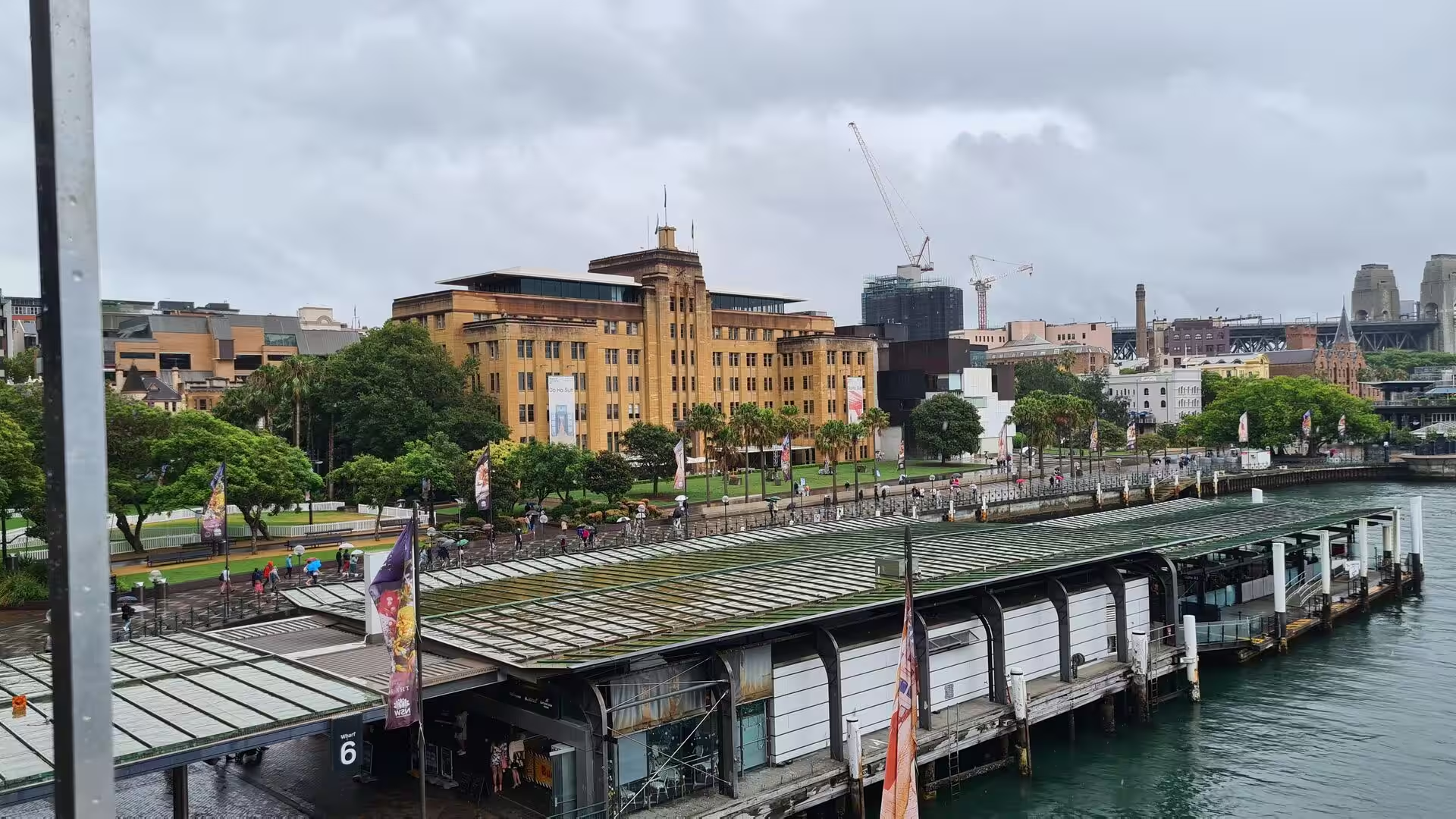
Circular Quay is where Sydney began and where visitors to the harbour still start. The quay, on the shore of Sydney Cove, was the landing place of the First Fleet and the first wharves of the colony, and today its piazzas and ferry terminals open onto the water, with the Opera House on one side and the sandstone terraces of The Rocks on the other. From its wharves the ferries of Sydney run across the harbour, past the Bridge, the Opera House and the islands of the port; the run to Manly, about half an hour across the harbour and out through the Heads, is the best known of them.
The Sydney Opera House stands on Bennelong Point, the small peninsula between Sydney Cove and Farm Cove. Jorn Utzon’s design of interlocking shell roofs was chosen in an international competition in 1957 and the building opened sixteen years later; it houses concert halls and theatres and was inscribed on the World Heritage List in 2007. The Harbour Bridge spans the water between the central business district and the North Shore, its steel arch carrying road, rail, cycle and pedestrian traffic since 1932, and the walk across its eastern footpath gives a panorama of the harbour.
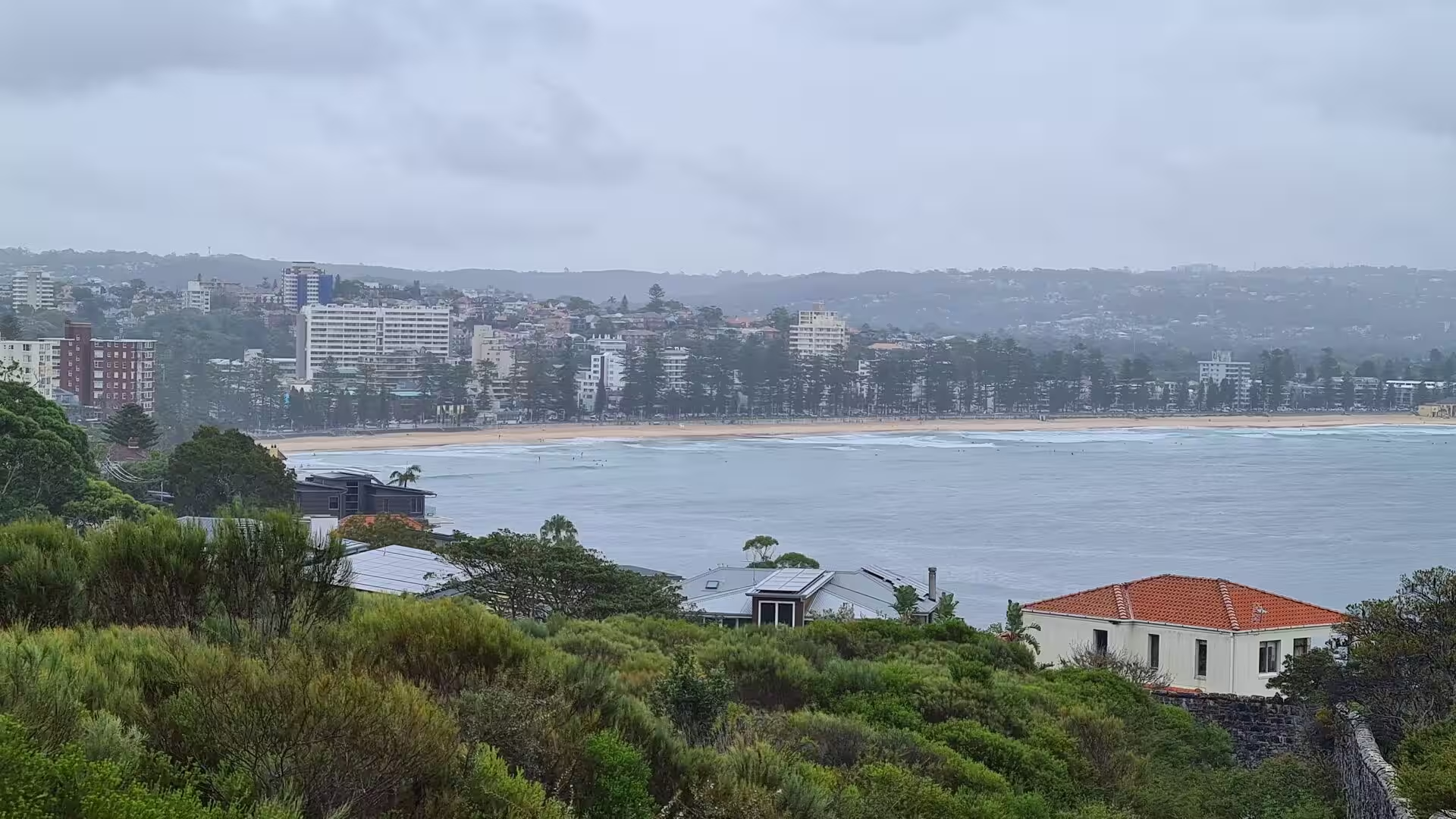
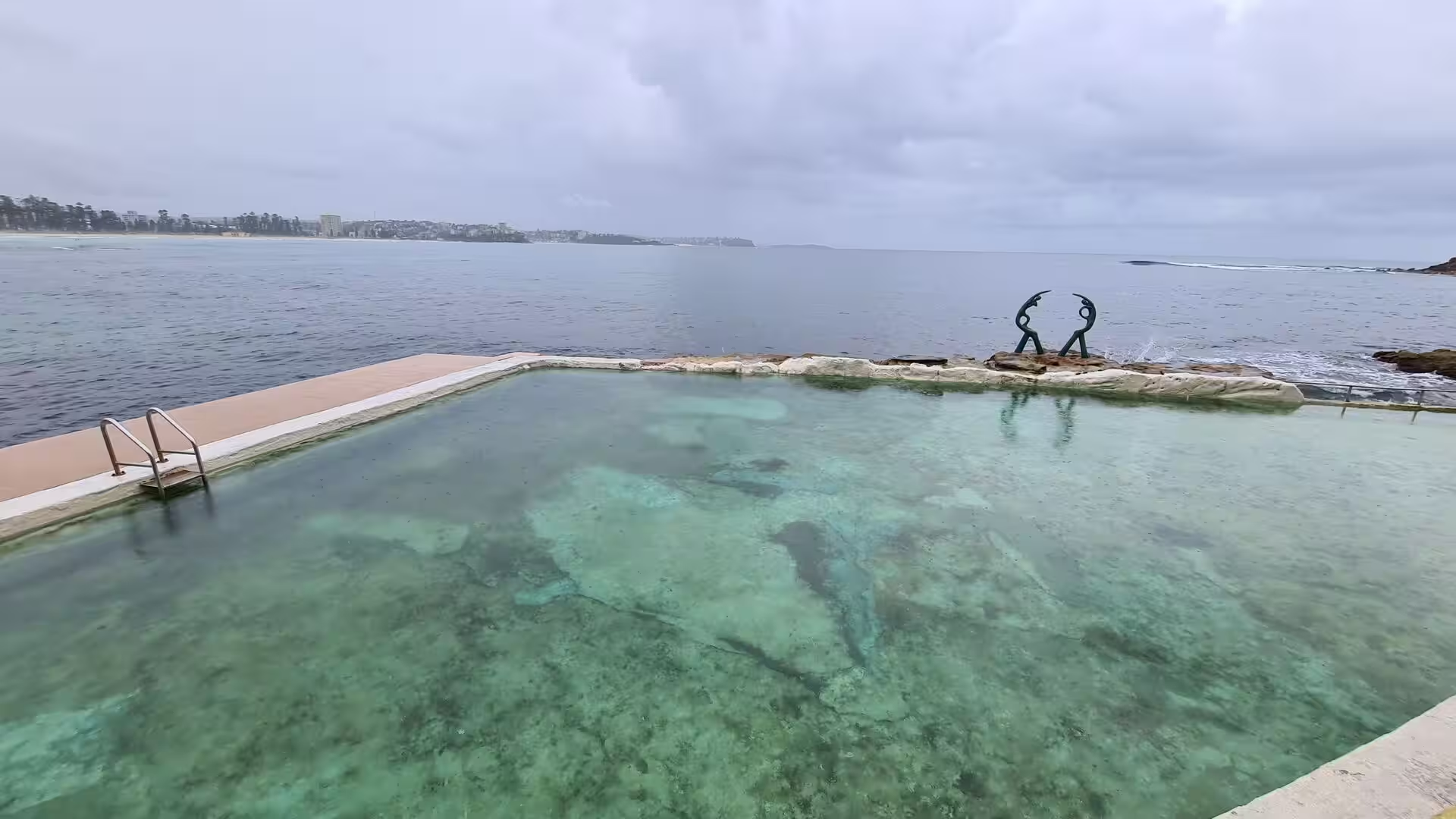
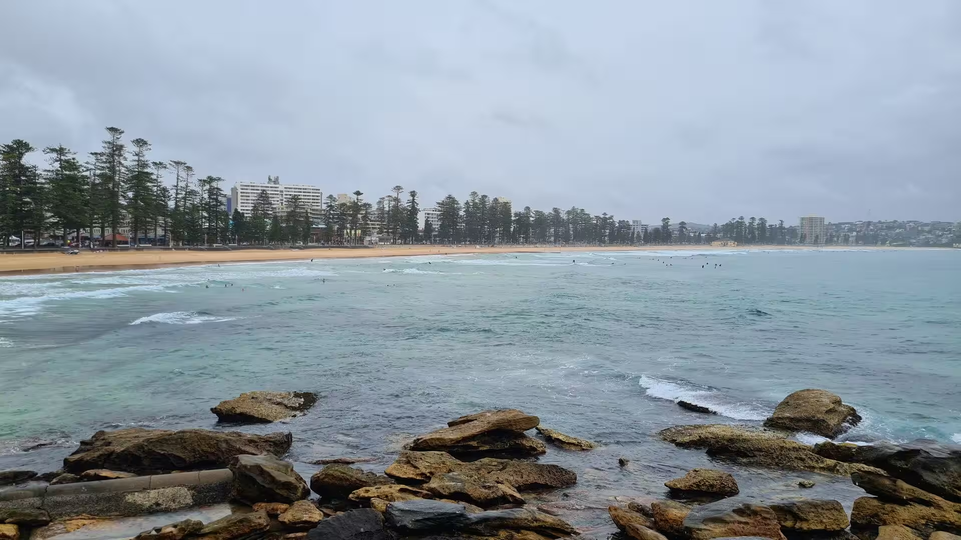
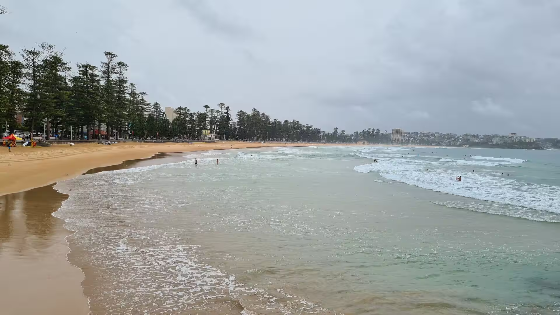
Manly lies seventeen kilometres north-east of the centre, on the ocean side of the harbour entrance, and has been a holiday resort since the ferry service of the 1850s. Its ocean beach runs from Queenscliff through North Steyne to South Steyne, backed by apartment blocks, hotels and the long line of Norfolk Island pines that have become the emblem of the suburb. South of the sand the coast turns into Cabbage Tree Bay, a no-take aquatic reserve of rocky shore and clear water between Manly and Shelly Beach, and at the southern end of the beach the Fairy Bower pool lies on the rock platform with two bronze figures by the sculptor Helen Leete on its seaward rim, known locally as the Sea Nymphs or the Oceanides. Above the bay the land rises to North Head, the sandstone headland long read as the gateway to Port Jackson, with the old quarantine station and the lookouts of Sydney Harbour National Park.
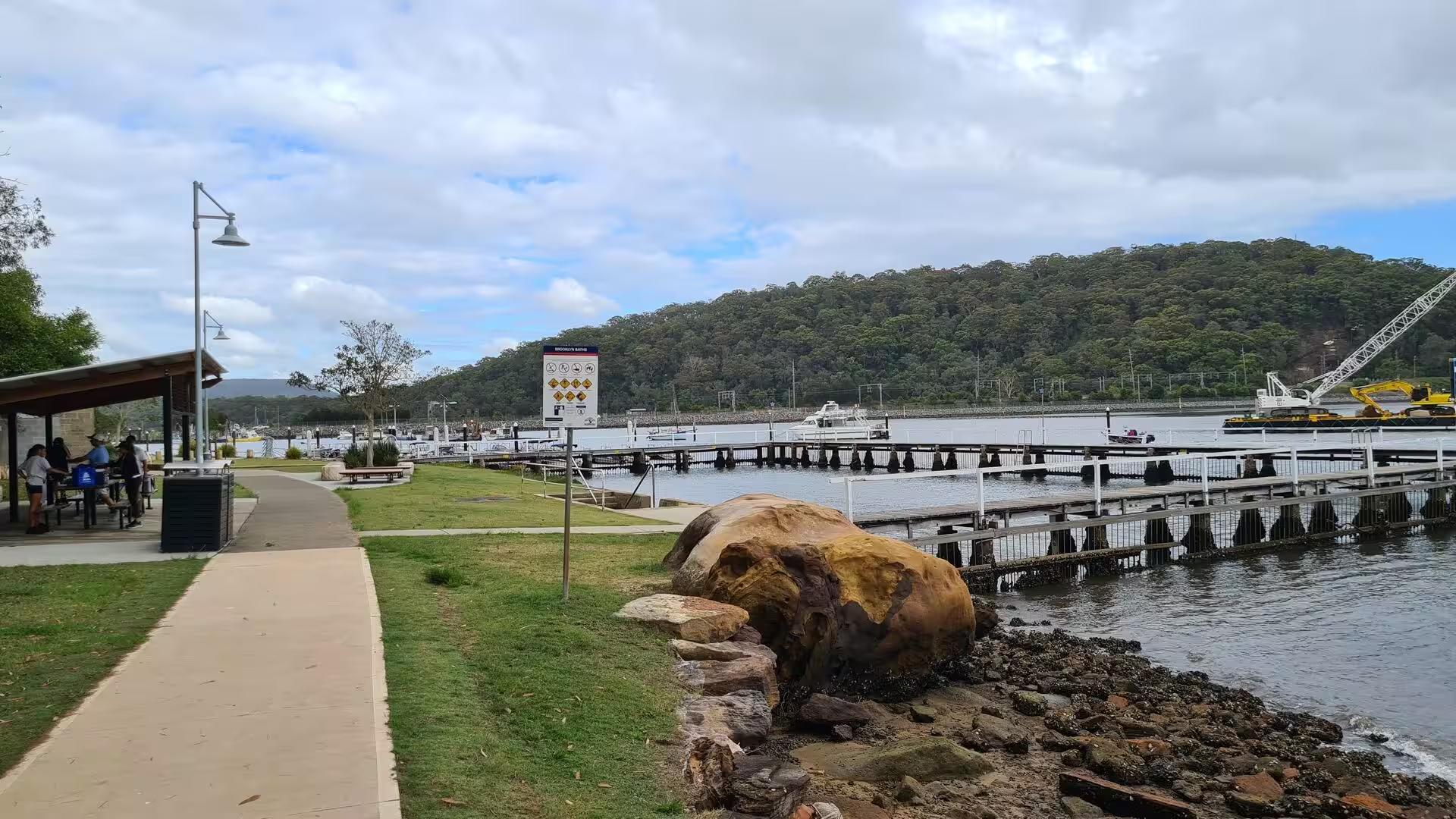
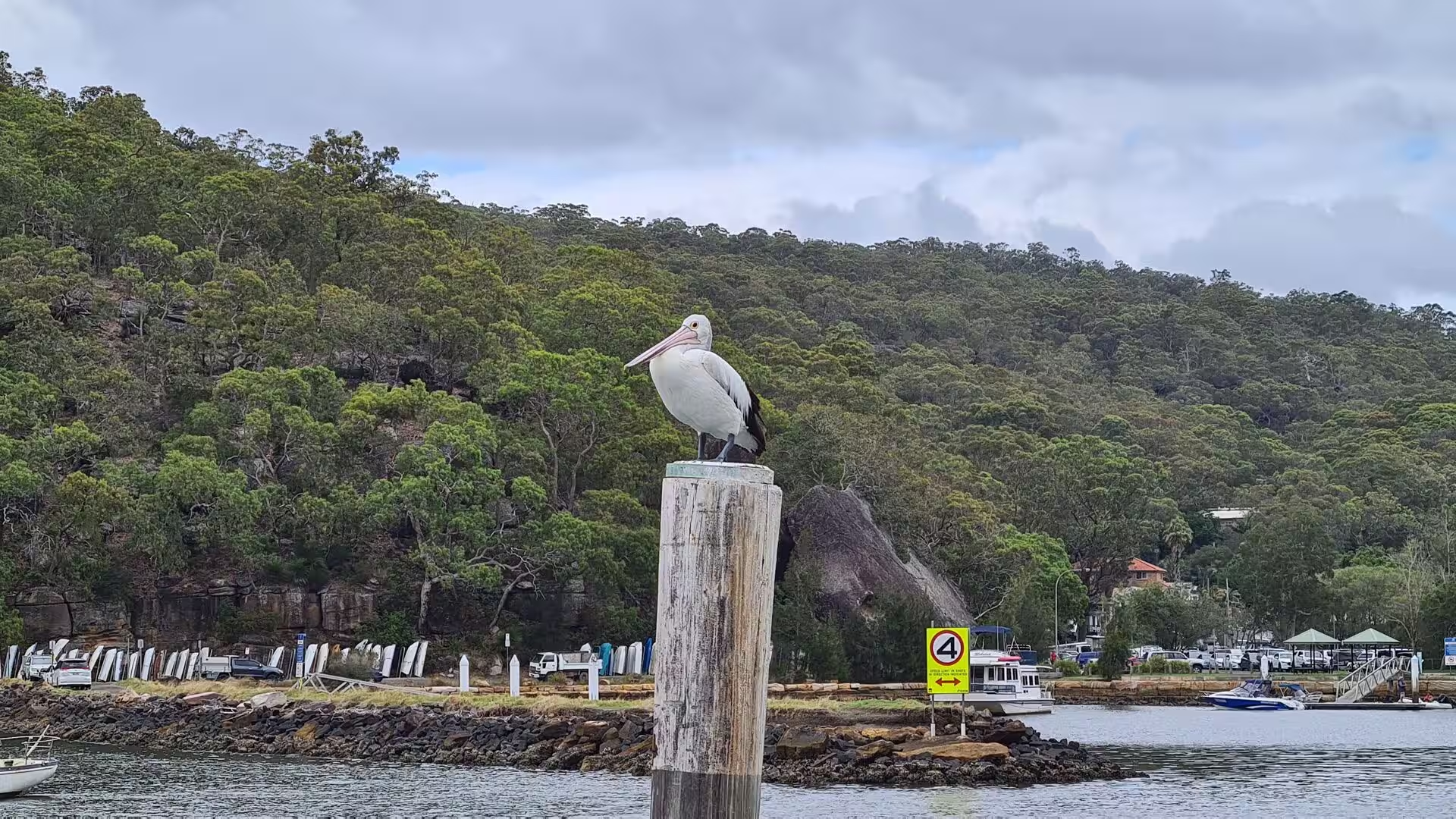
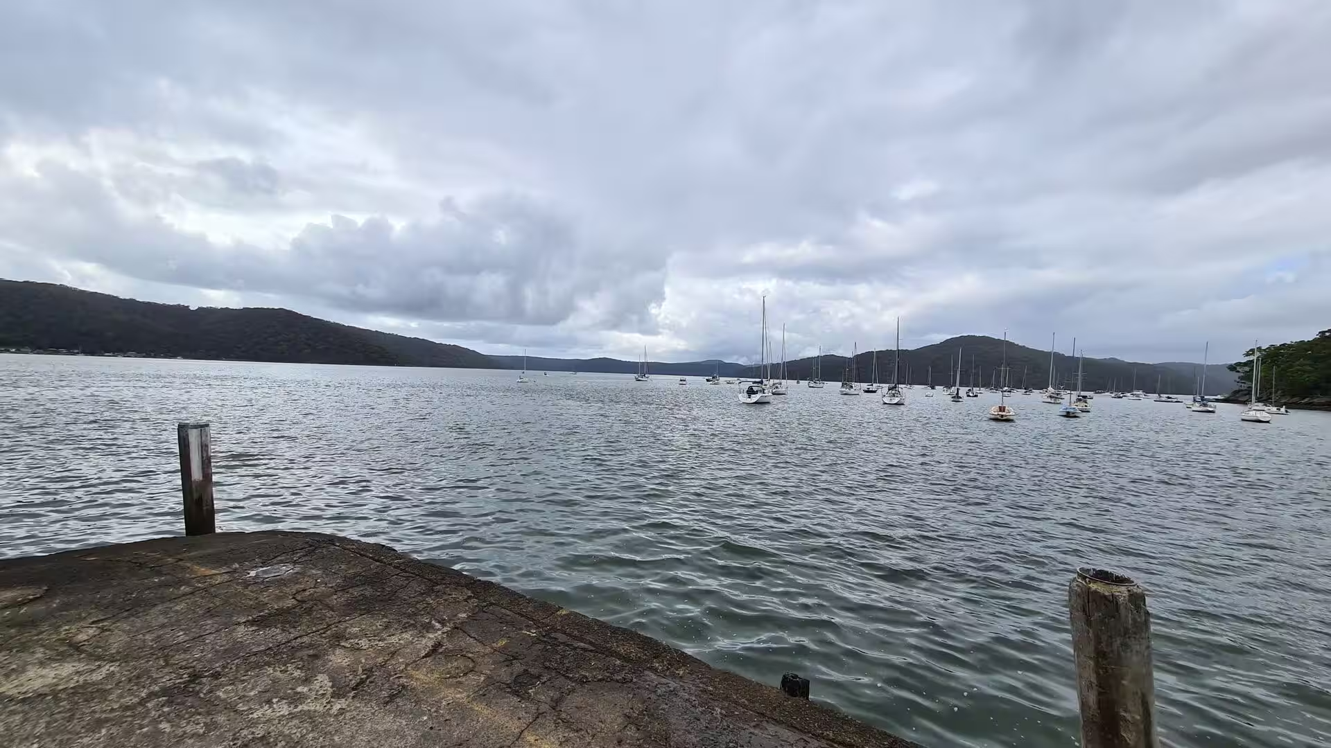
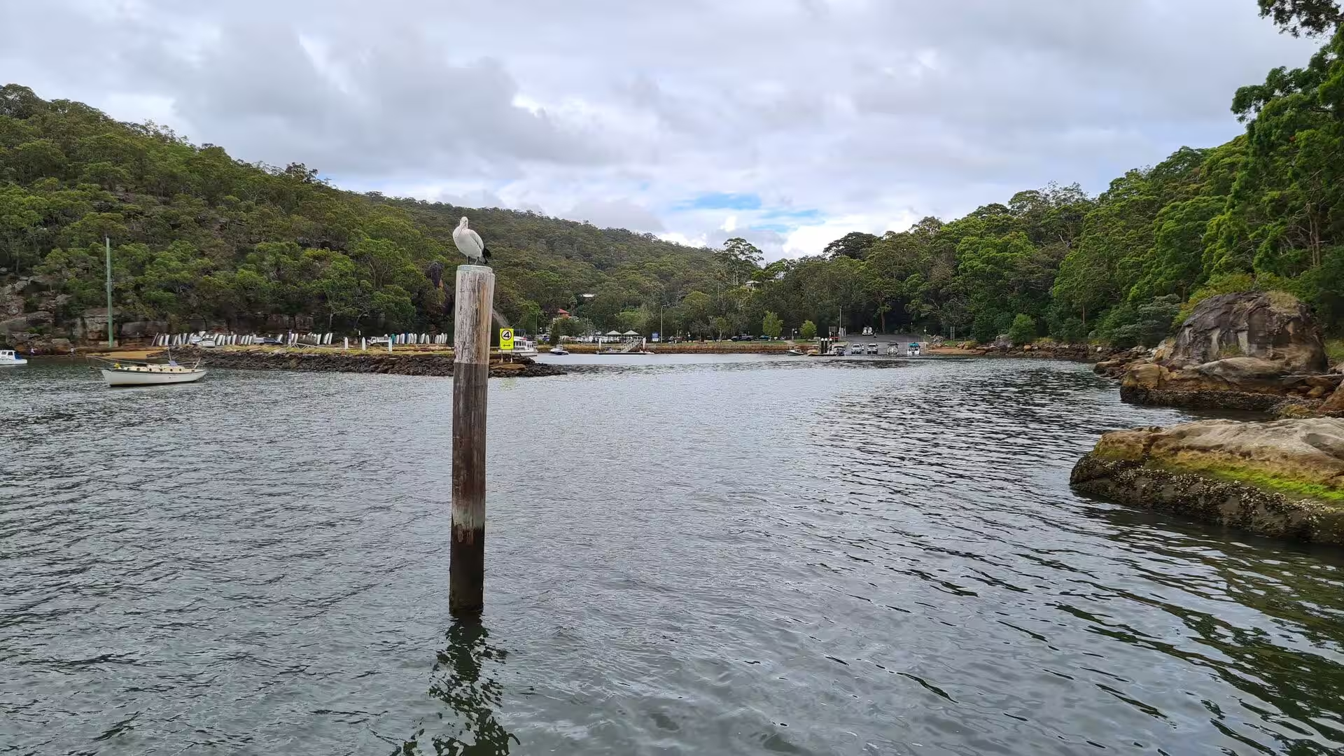
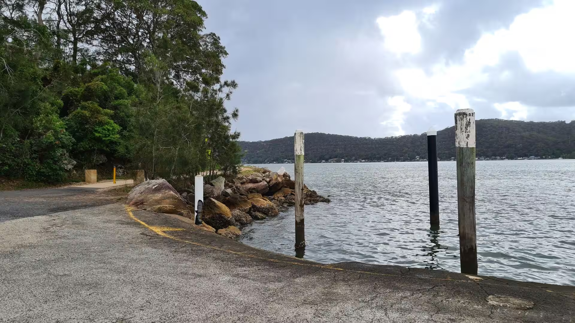
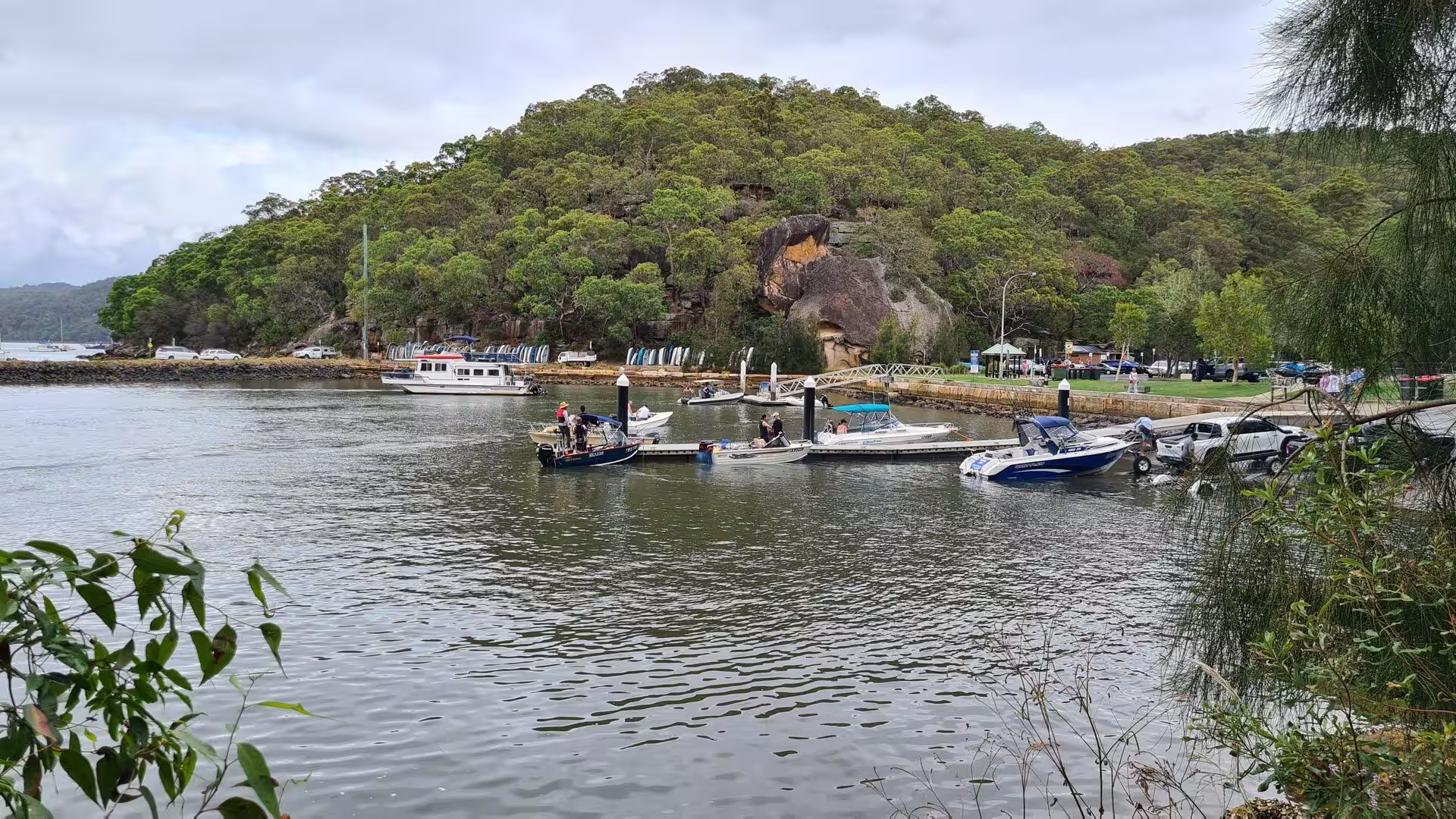
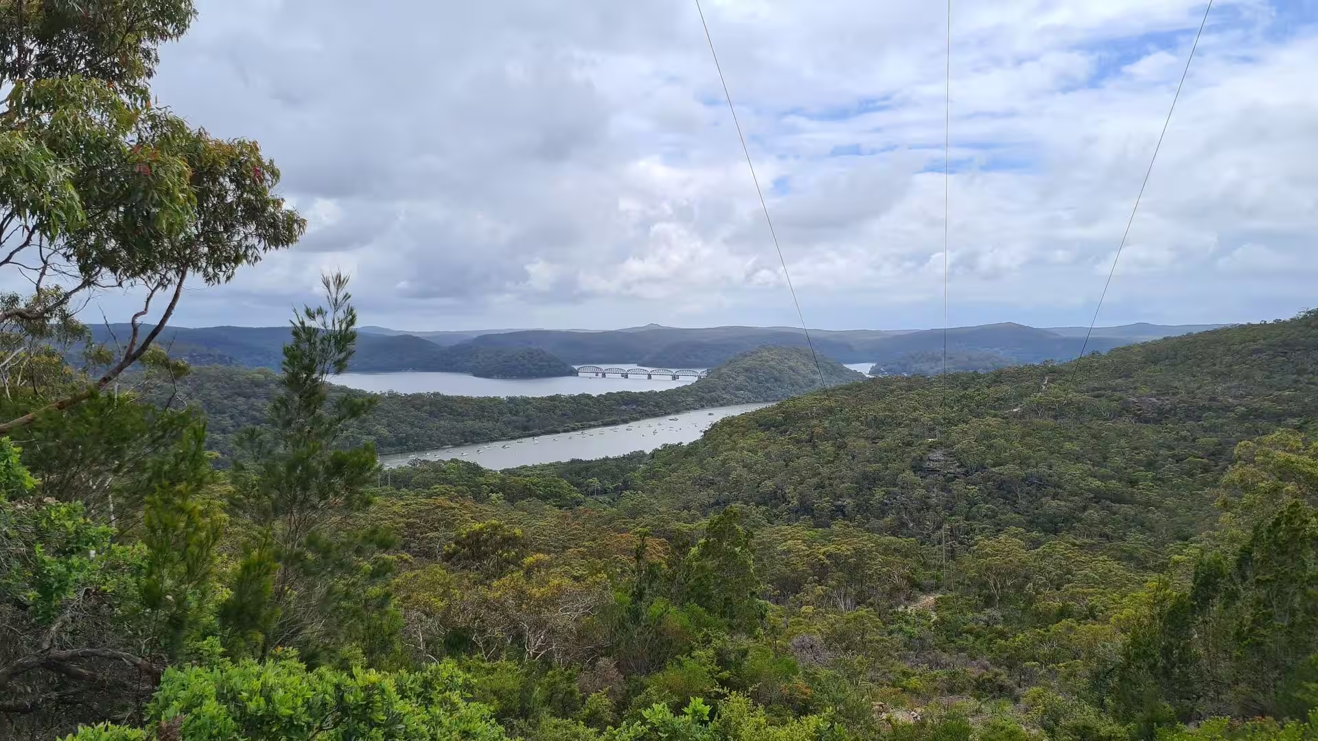
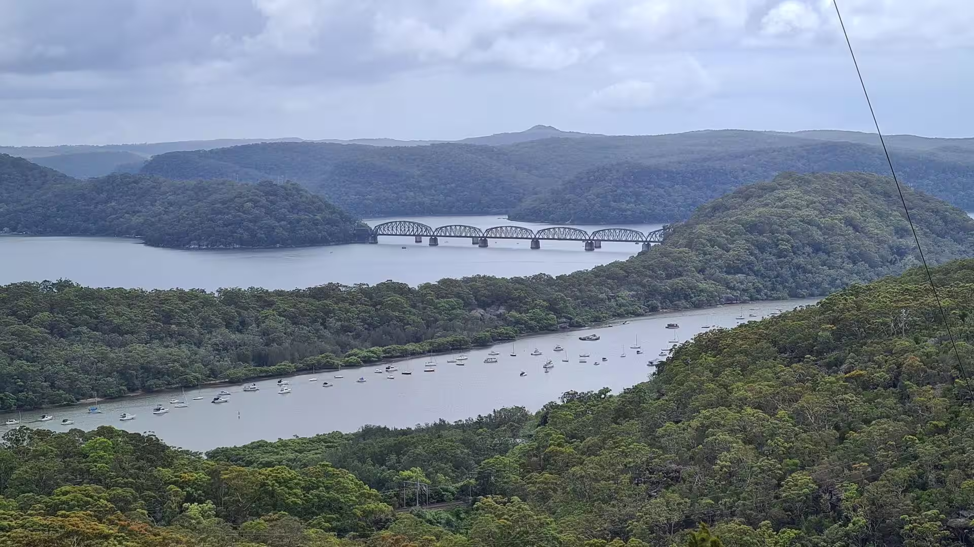
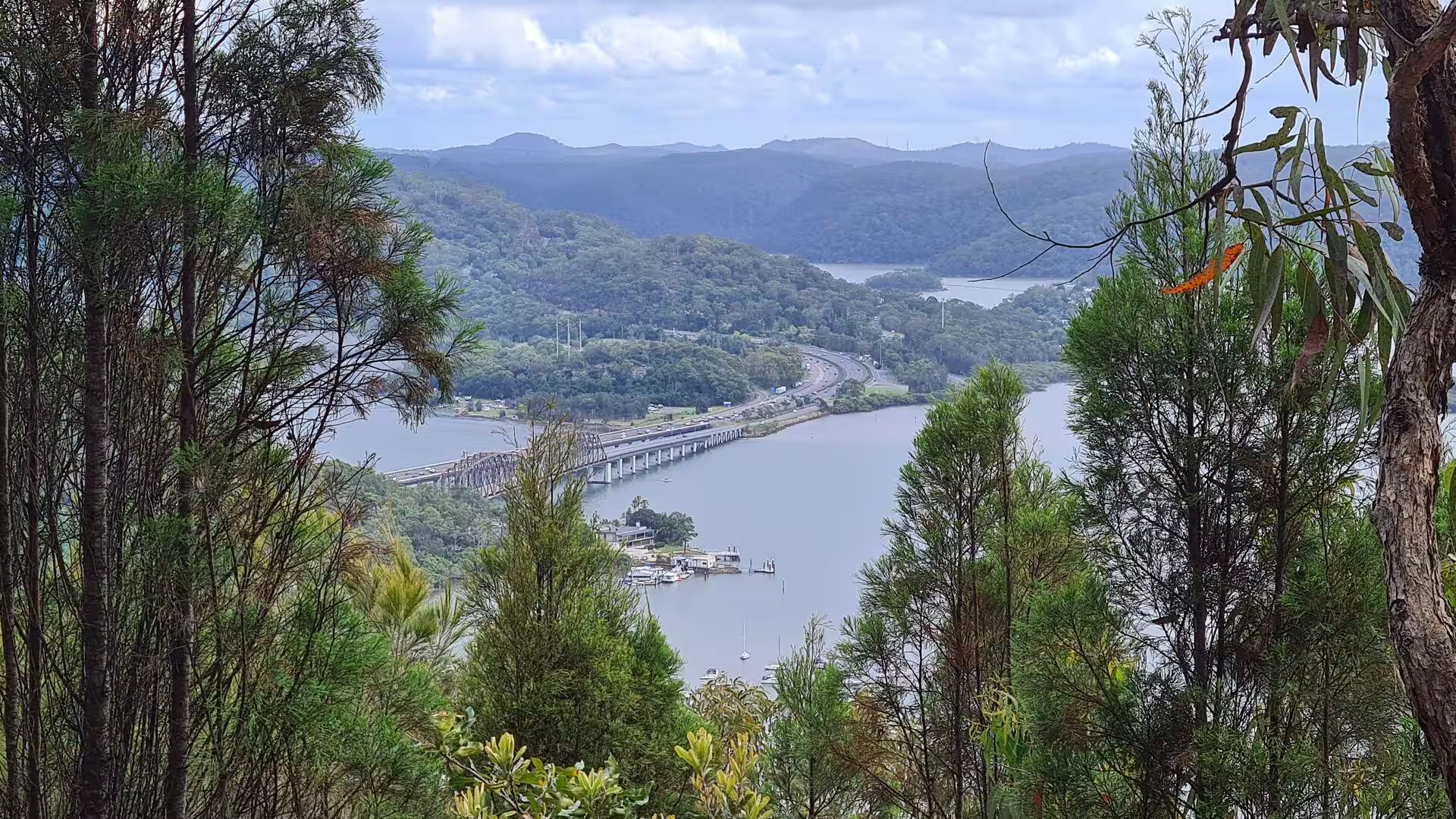
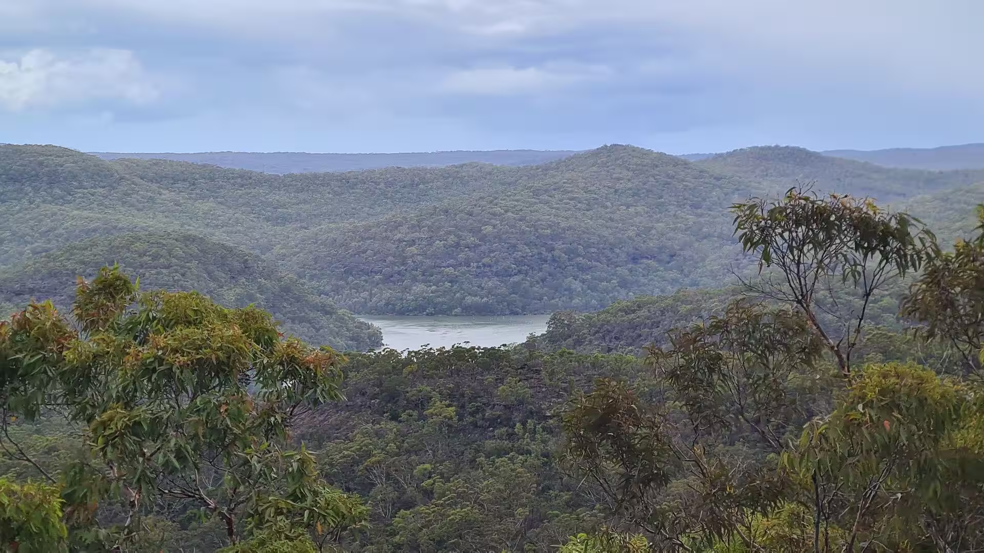
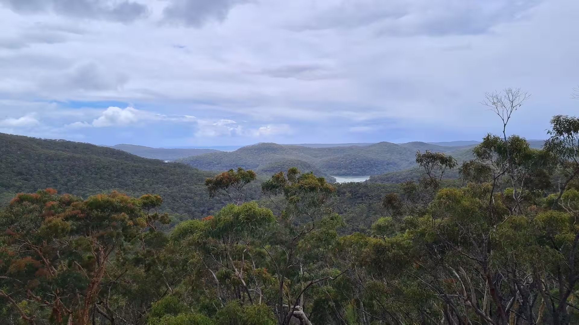
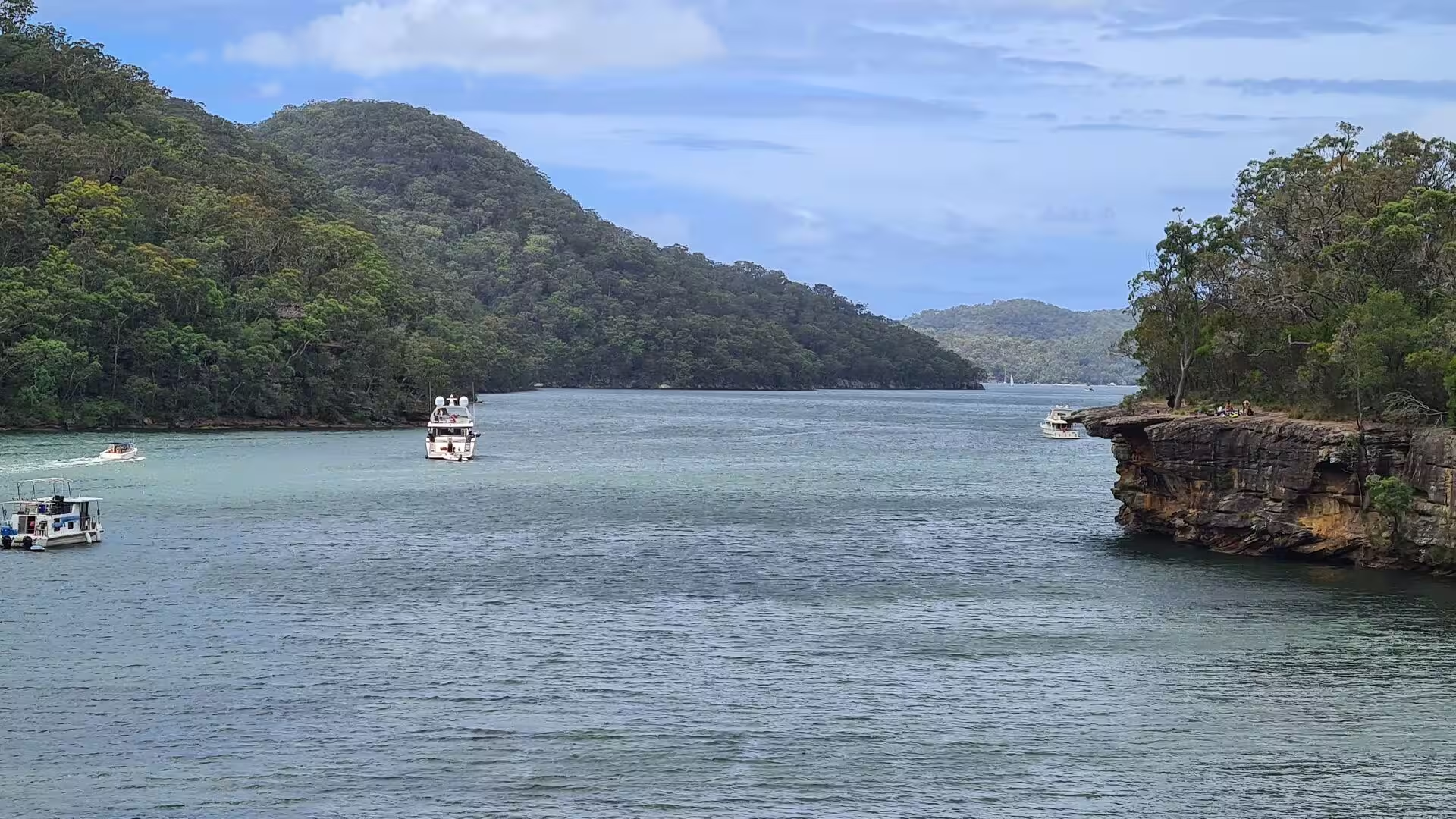
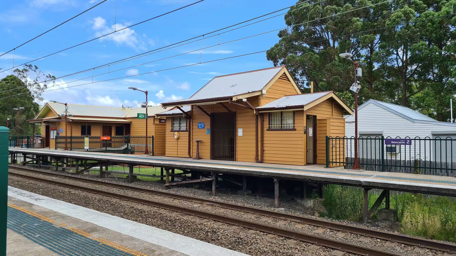
North of the city the shore is broken by Broken Bay, where the drowned valley of the Hawkesbury River reaches the sea. The river, known to the Dharug as Dyarubbin, runs about 120 kilometres from the meeting of the Nepean and the Grose north of Penrith and marks the boundary between Greater Sydney and the Central Coast. At Brooklyn, on the southern bank, it widens into a maze of bays, islands and oyster leases: marinas and moorings line the shore, the river station and the long steel truss bridge beside it carry the northern railway across to the far bank, and the bush of Ku-ring-gai Chase National Park and Muogamarra Nature Reserve comes down to the water on both sides. Sydney rock oysters have been farmed here for generations.
The railway north from Sydney crosses the Hawkesbury at Brooklyn and then follows the shores of Brisbane Water, the estuary of about eighteen kilometres that opens into Broken Bay. Around it lie the towns of the Central Coast, among them Woy Woy, Ettalong and Killcare, with the small fishing village of Hardys Bay behind them, and Gosford, the commercial centre of the region, at the northern end. Gosford stands about 77 kilometres north of Sydney and 86 kilometres south of Newcastle. Beyond the Central Coast the line ends at Newcastle, the second most populous district of New South Wales, which stands at the mouth of the Hunter River and is the largest coal exporting harbour in the world; the city began as a convict station in 1804, and its harbour is guarded by the headland of Nobbys, joined to the mainland by an early breakwater.
South of the city the coast belongs to the Royal National Park, proclaimed by Sir John Robertson on 26 April 1879 and so the first national park of Australia and the second in the world after Yellowstone. Its 151 square kilometres run from the Sutherland Shire to the Illawarra and take in sandstone plateau, rainforest gullies and a long stretch of the ocean shore. The park is reached by road, by the railway along its western edge at Loftus, Waterfall and Otford, or by the ferry from Cronulla to Bundeena inside its boundary. Among its places are Wattamolla, a sheltered cove with a lagoon behind the beach and a waterfall falling into it, the surf beach at Garie, and the Coast Track, which follows the cliffs between Bundeena and Otford for about thirty kilometres.
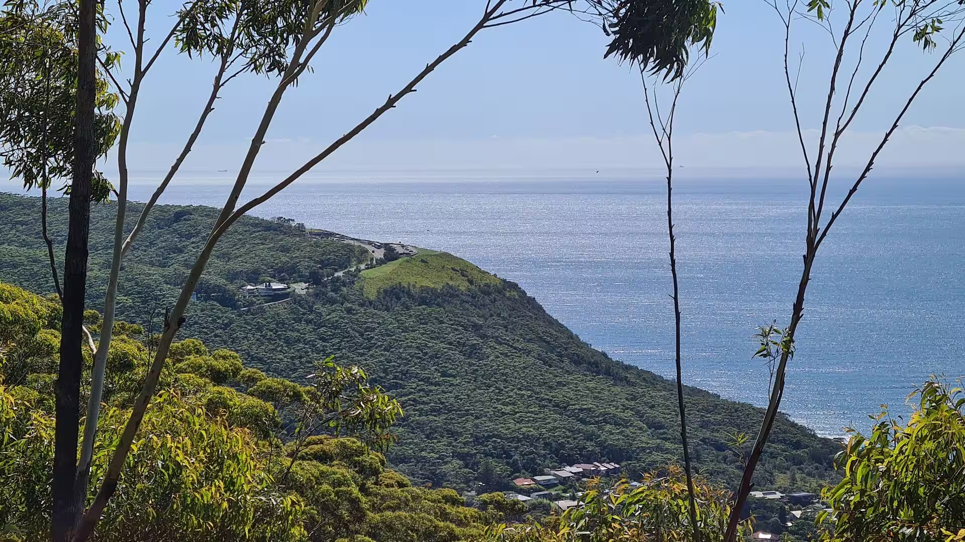
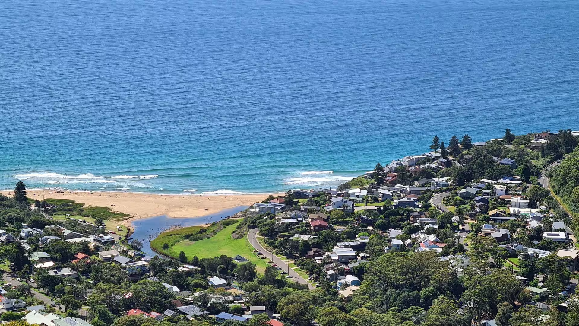
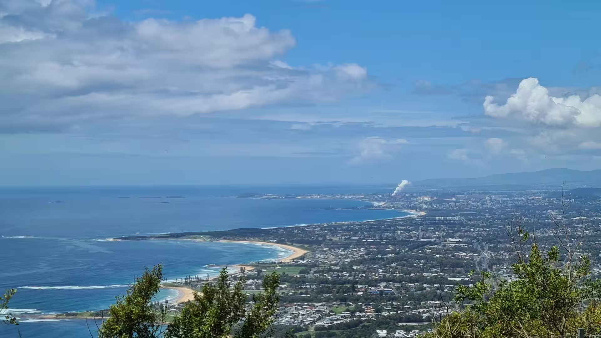
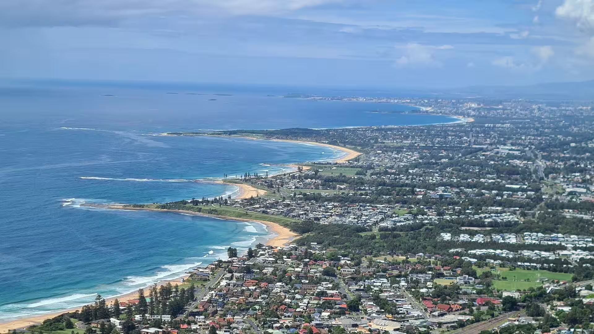
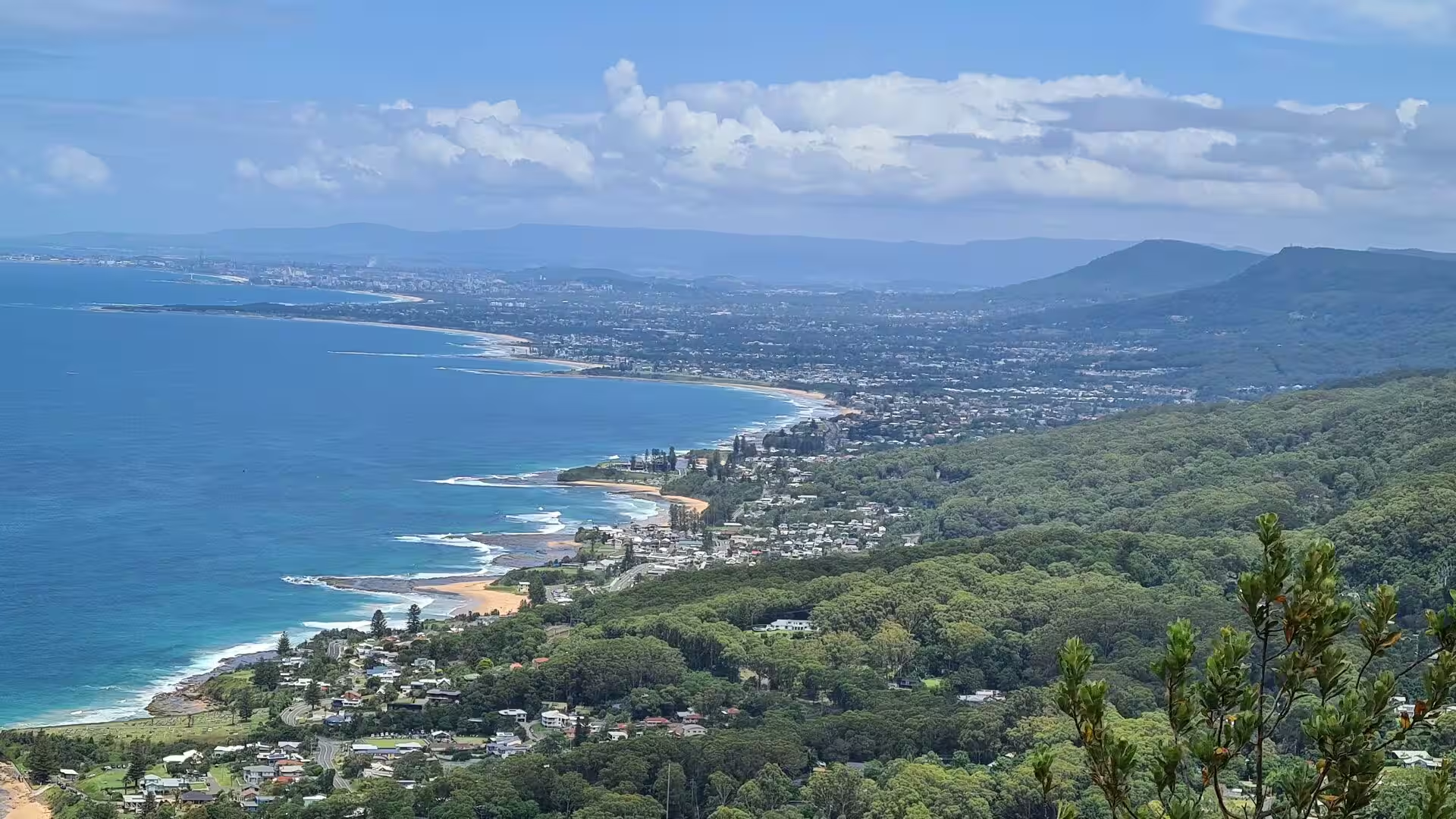
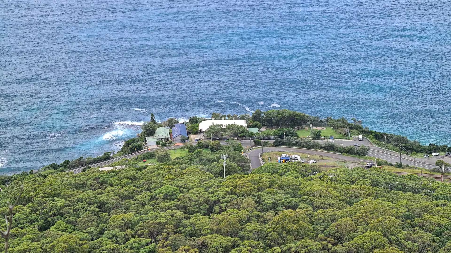
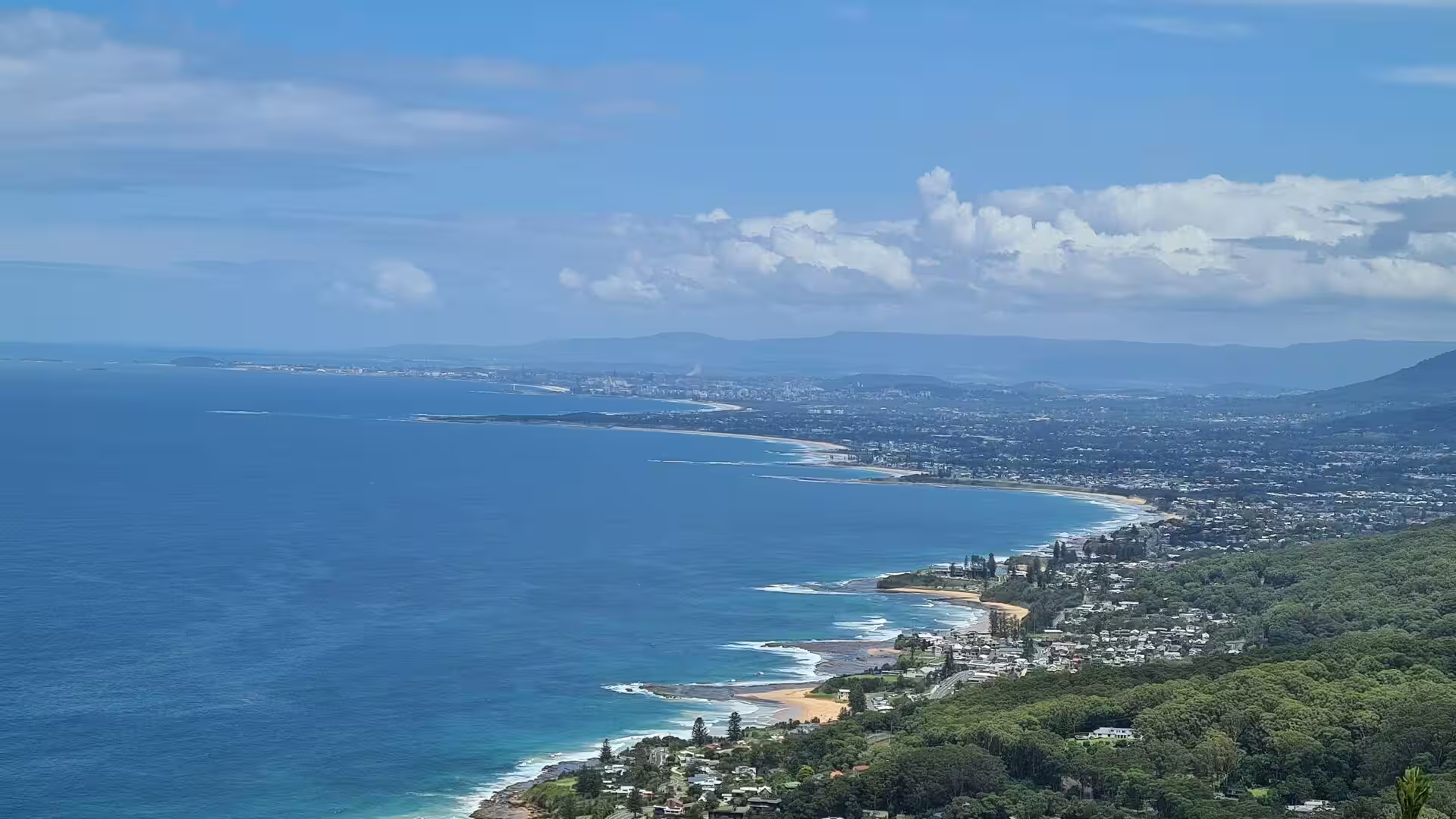
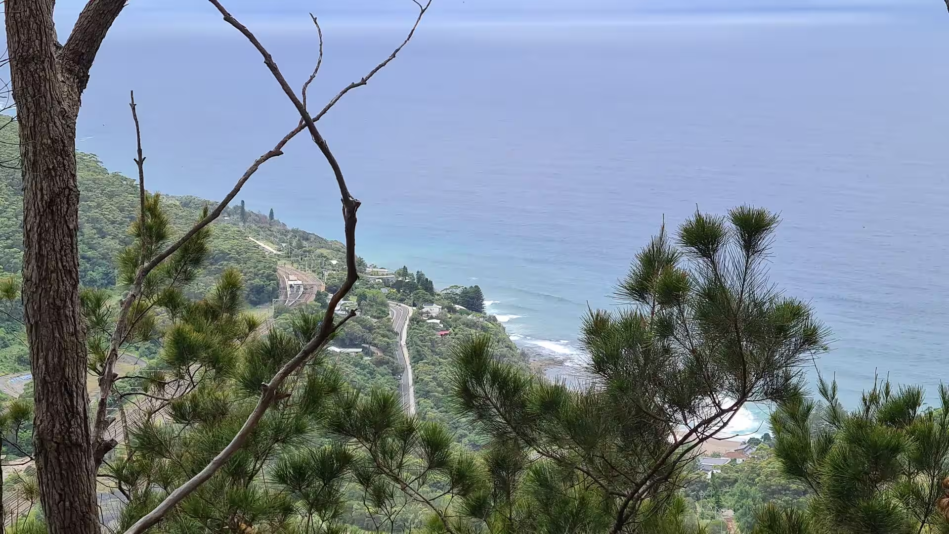
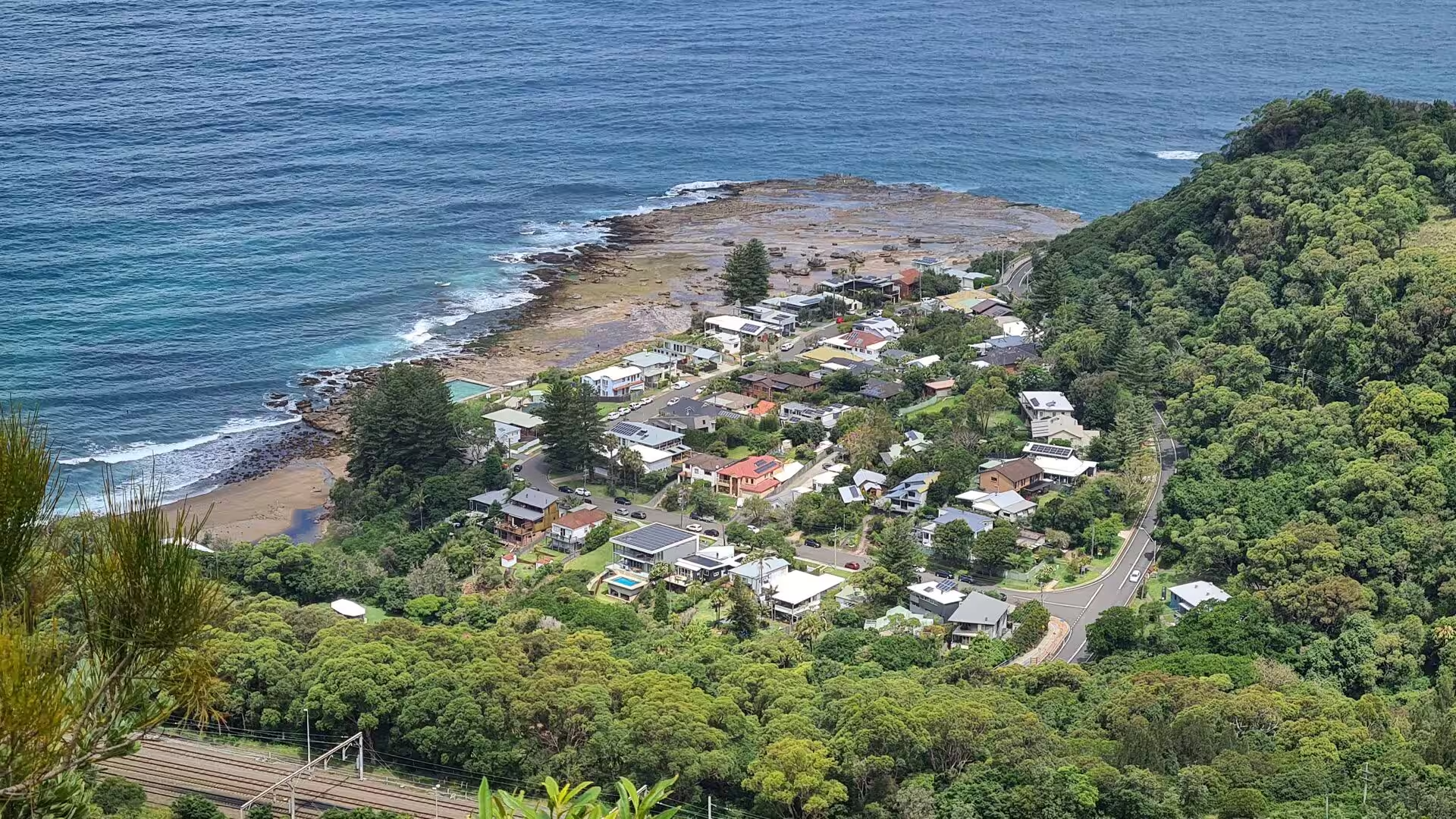
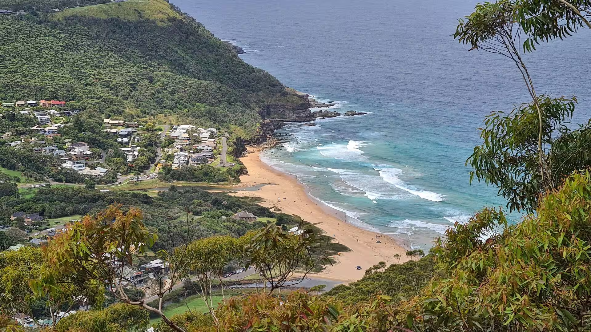
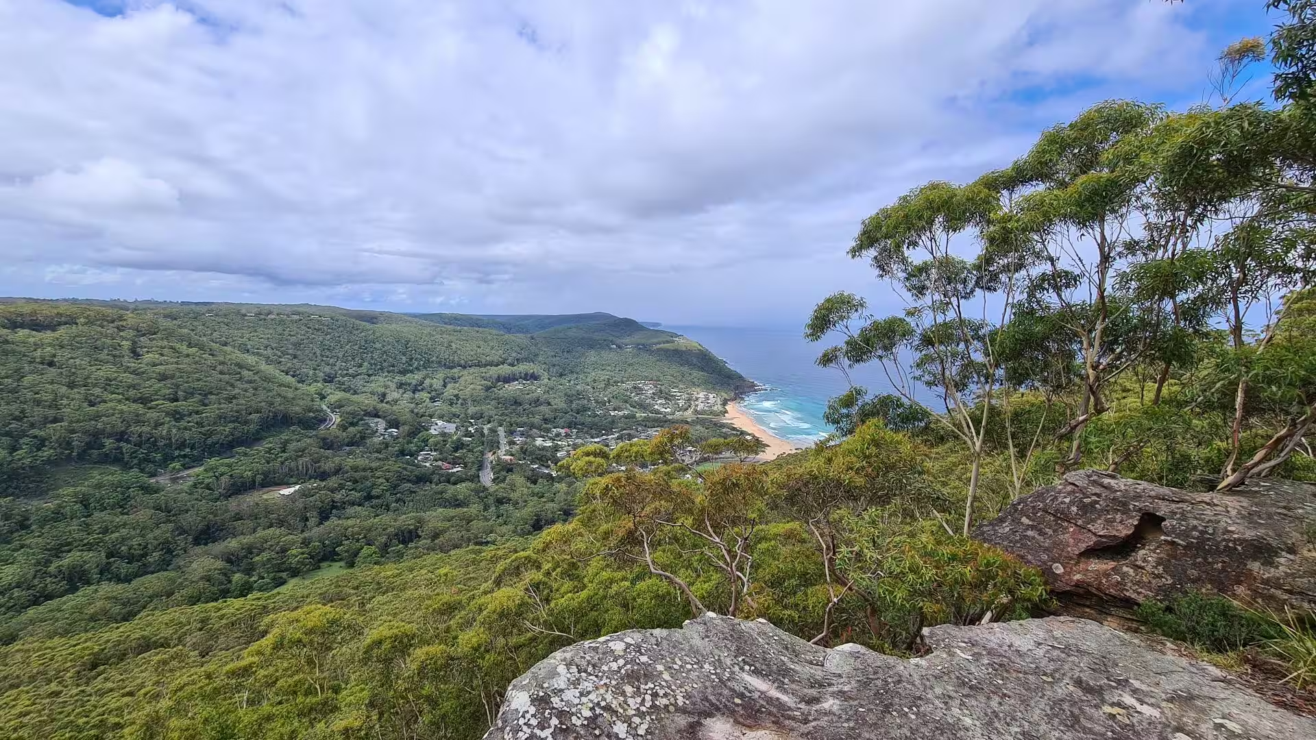
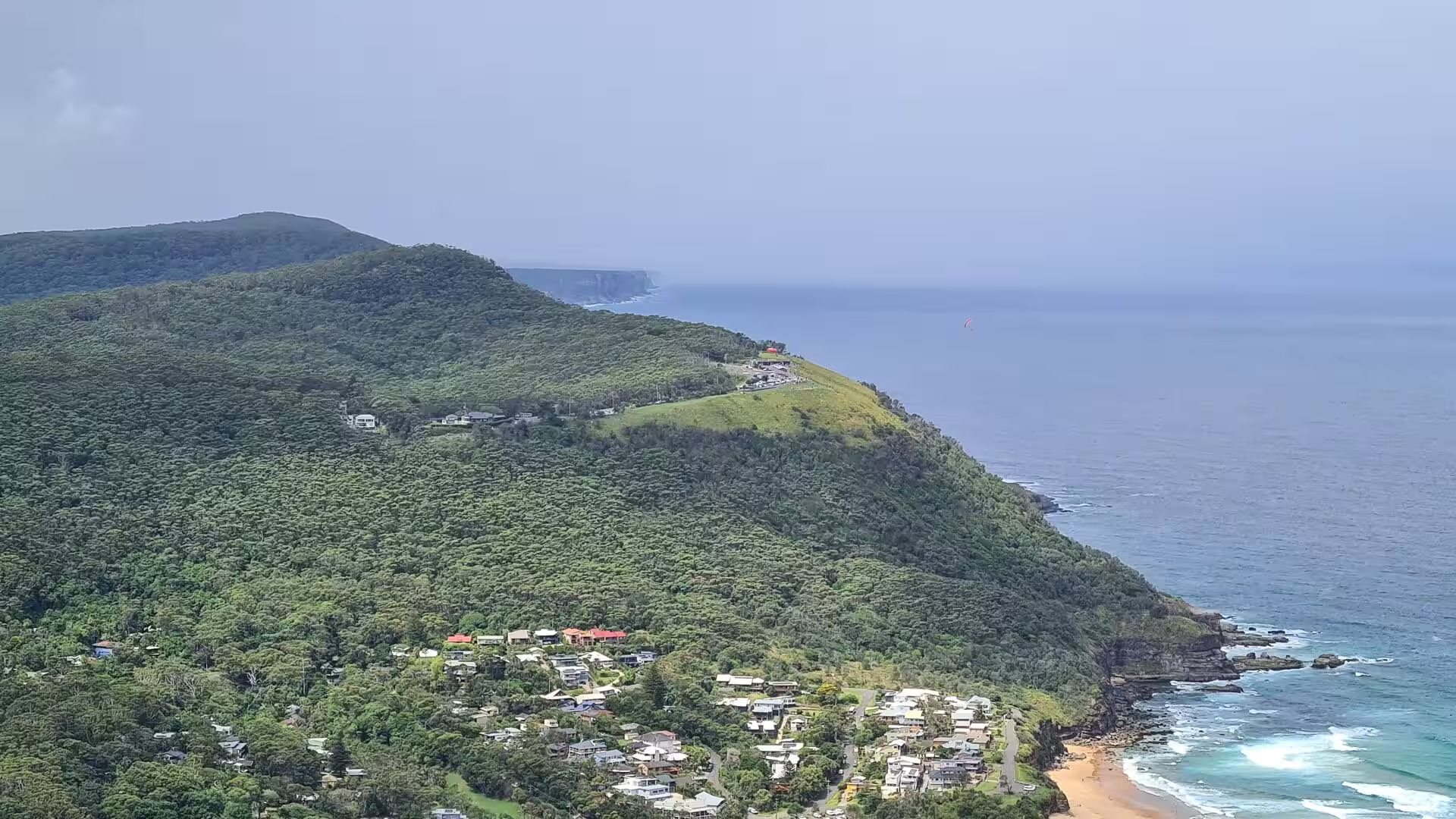
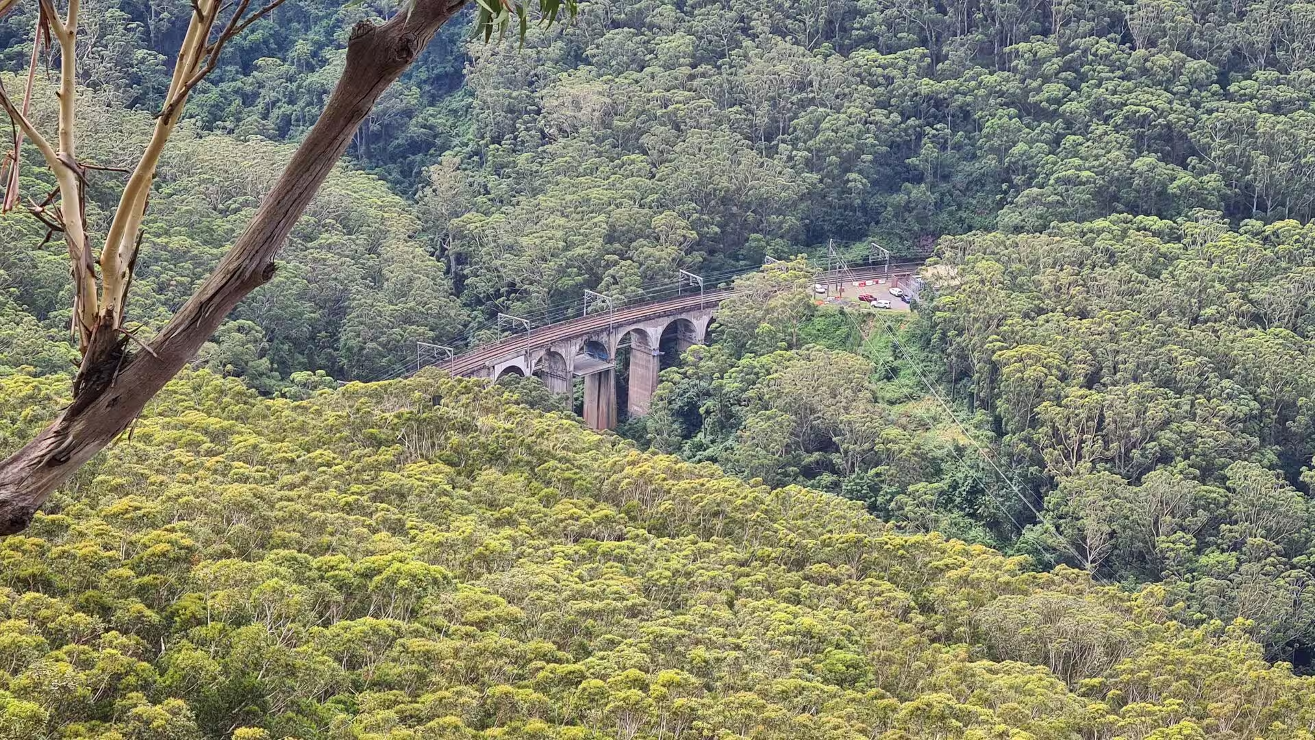
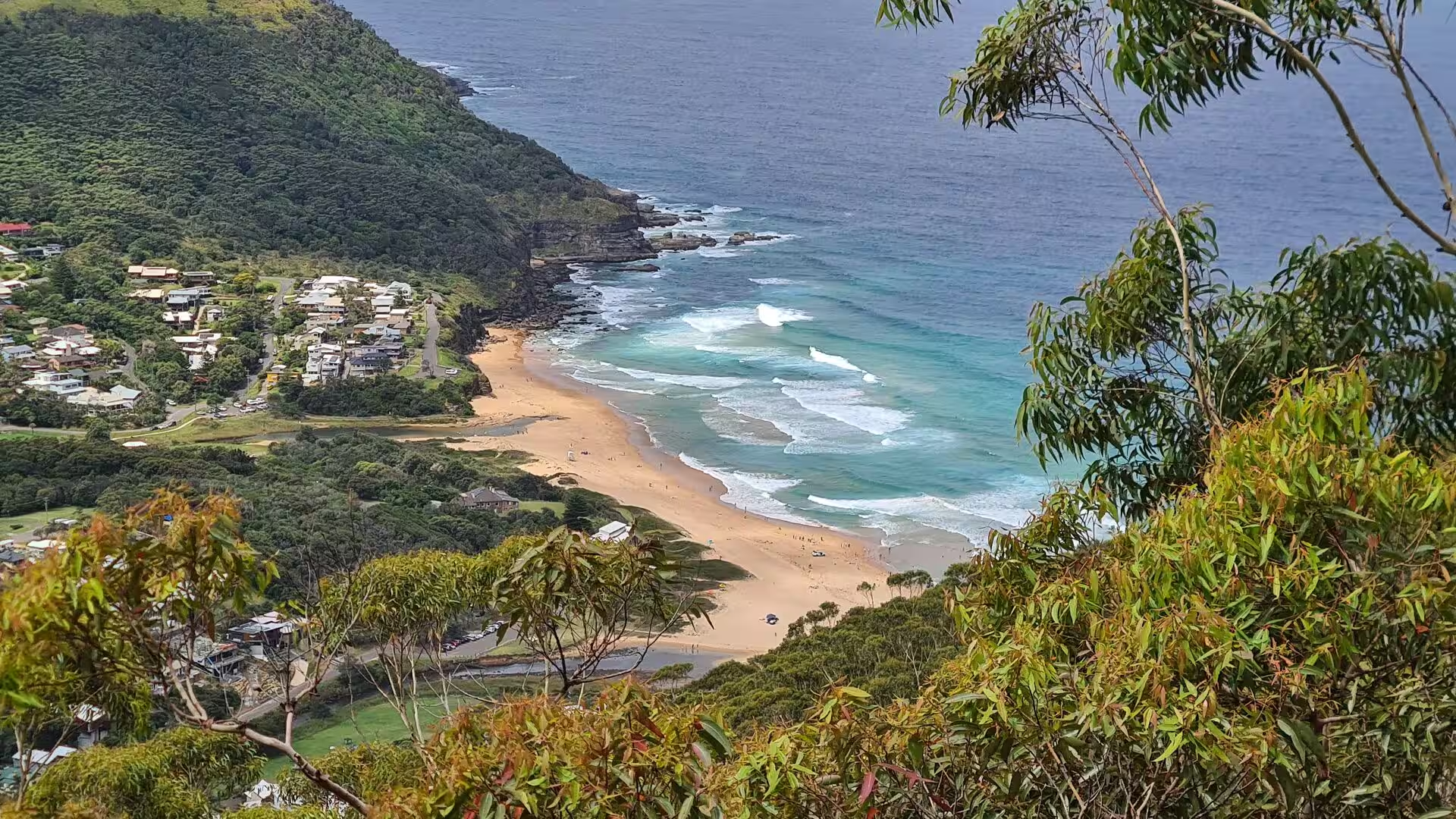
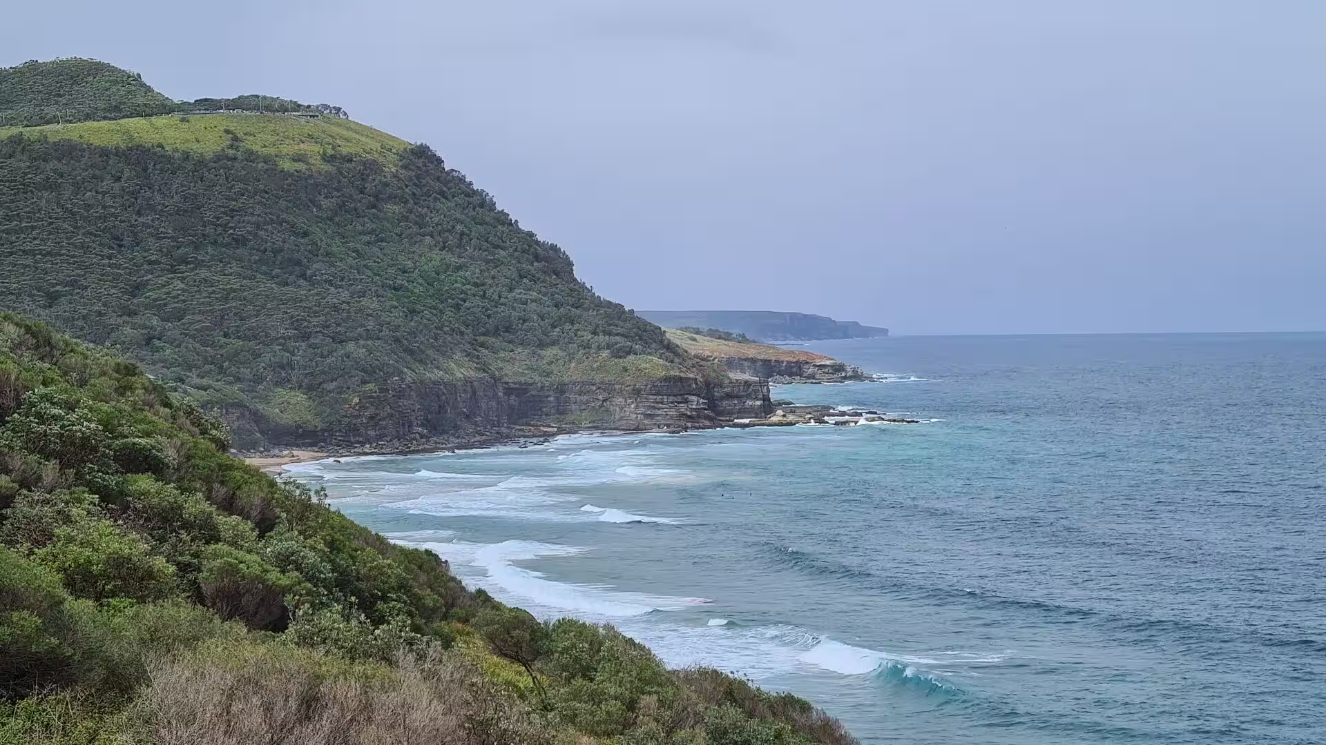
South of Otford the coastal plain narrows, and the road and railway run beneath the Illawarra escarpment, the wall of sandstone and rainforest that rises from the sea to a plateau about 800 metres above it. At Stanwell Tops the escarpment falls away to Bald Hill, a lookout over the whole coast and a launching place for hang gliders, and from there Lawrence Hargrave Drive descends to the villages of Stanwell Park, Coalcliff and Clifton. The Sea Cliff Bridge, opened in 2005, carries the drive on a curved cantilever along the rock face above the water, replacing the old cliff road whose remains can still be seen above it, and forms with the escarpment road part of the Grand Pacific Drive. Wollongong, the third largest city of New South Wales, stands 85 kilometres south on the plain between the surf beaches and the escarpment, with a steelworks at Port Kembla and the rainforest walks of Mount Keira behind it.
References
- Hughes, Robert. The Fatal Shore: The Epic of Australia’s Founding. London: Collins Harvill, 1987.
- Wikipedia: “Sydney”, en.wikipedia.org/wiki/Sydney
- Wikipedia: “Port Jackson”, en.wikipedia.org/wiki/Port_Jackson
- Wikipedia: “Sydney Opera House”, en.wikipedia.org/wiki/Sydney_Opera_House
- UNESCO World Heritage Centre: “Sydney Opera House”, whc.unesco.org/en/list/166
- Wikipedia: “Sydney Harbour Bridge”, en.wikipedia.org/wiki/Sydney_Harbour_Bridge
- Wikipedia: “Sydney Ferries”, en.wikipedia.org/wiki/Sydney_Ferries
- Wikipedia: “Manly, New South Wales”, en.wikipedia.org/wiki/Manly,_New_South_Wales
- Wikipedia: “Manly ferry wharf”, en.wikipedia.org/wiki/Manly_ferry_wharf
- Northern Beaches Council: “Oceanides”, northernbeaches.nsw.gov.au/things-to-do/recreation-area/oceanides
- Wikipedia: “North Head, New South Wales”, en.wikipedia.org/wiki/North_Head,_New_South_Wales
- Wikipedia: “Hawkesbury River”, en.wikipedia.org/wiki/Hawkesbury_River
- Wikipedia: “Brooklyn, New South Wales”, en.wikipedia.org/wiki/Brooklyn,_New_South_Wales
- Wikipedia: “Brisbane Water”, en.wikipedia.org/wiki/Brisbane_Water
- Wikipedia: “Gosford”, en.wikipedia.org/wiki/Gosford
- Wikipedia: “Newcastle, New South Wales”, en.wikipedia.org/wiki/Newcastle,_New_South_Wales
- Wikipedia: “Royal National Park”, en.wikipedia.org/wiki/Royal_National_Park
- NSW National Parks and Wildlife Service: “Royal National Park”, nationalparks.nsw.gov.au/visit-a-park/parks/royal-national-park
- Wikipedia: “Illawarra escarpment”, en.wikipedia.org/wiki/Illawarra_escarpment
- Wikipedia: “Sea Cliff Bridge”, en.wikipedia.org/wiki/Sea_Cliff_Bridge
- Wikipedia: “Wollongong”, en.wikipedia.org/wiki/Wollongong
- UNESCO World Heritage Centre: “Greater Blue Mountains Area”, whc.unesco.org/en/list/917