2024 Australia - February - Sydney






Journal Notes
General
Sydney is the capital of the state of New South Wales and the largest city in Australia. Greater Sydney counted about 5.64 million inhabitants in June 2025, roughly two thirds of the population of New South Wales, spread across 658 suburbs in 33 local government areas. The metropolis gathers around the drowned valley of Port Jackson, known across the world as Sydney Harbour, and extends about 80 kilometres from the Pacific Ocean in the east to the foothills of the Blue Mountains in the west, and from the Hawkesbury River in the north to Botany Bay and the Royal National Park in the south.
The heart of the city is the harbour. Port Jackson is not a simple bay but a deeply branched inlet of the Tasman Sea, formed by Sydney Harbour itself, Middle Harbour and North Harbour together with the drowned mouths of the Lane Cove and Parramatta rivers, so that the water reaches far into the suburbs in long, sheltered arms. The narrows of the inner harbour carry the city’s two most famous landmarks, the steel arch of the Harbour Bridge and the sails of the Opera House, and ferries, yachts and ships share the waterway that gives Sydney its nickname of the Harbour City.
The climate of the coastal metropolis is mild and sunny by the standards of the continent: the summers are warm, the winters are gentle, and rain falls through the year, so that outdoor life belongs to the city as naturally as its beaches. The beaches of the eastern suburbs, with their sandstone headlands and surf, run from the harbour entrance southward past Maroubra toward Botany Bay. Parks and bushland reach far into the built-up area; the city and its surrounds hold more than a million hectares of protected reserves.
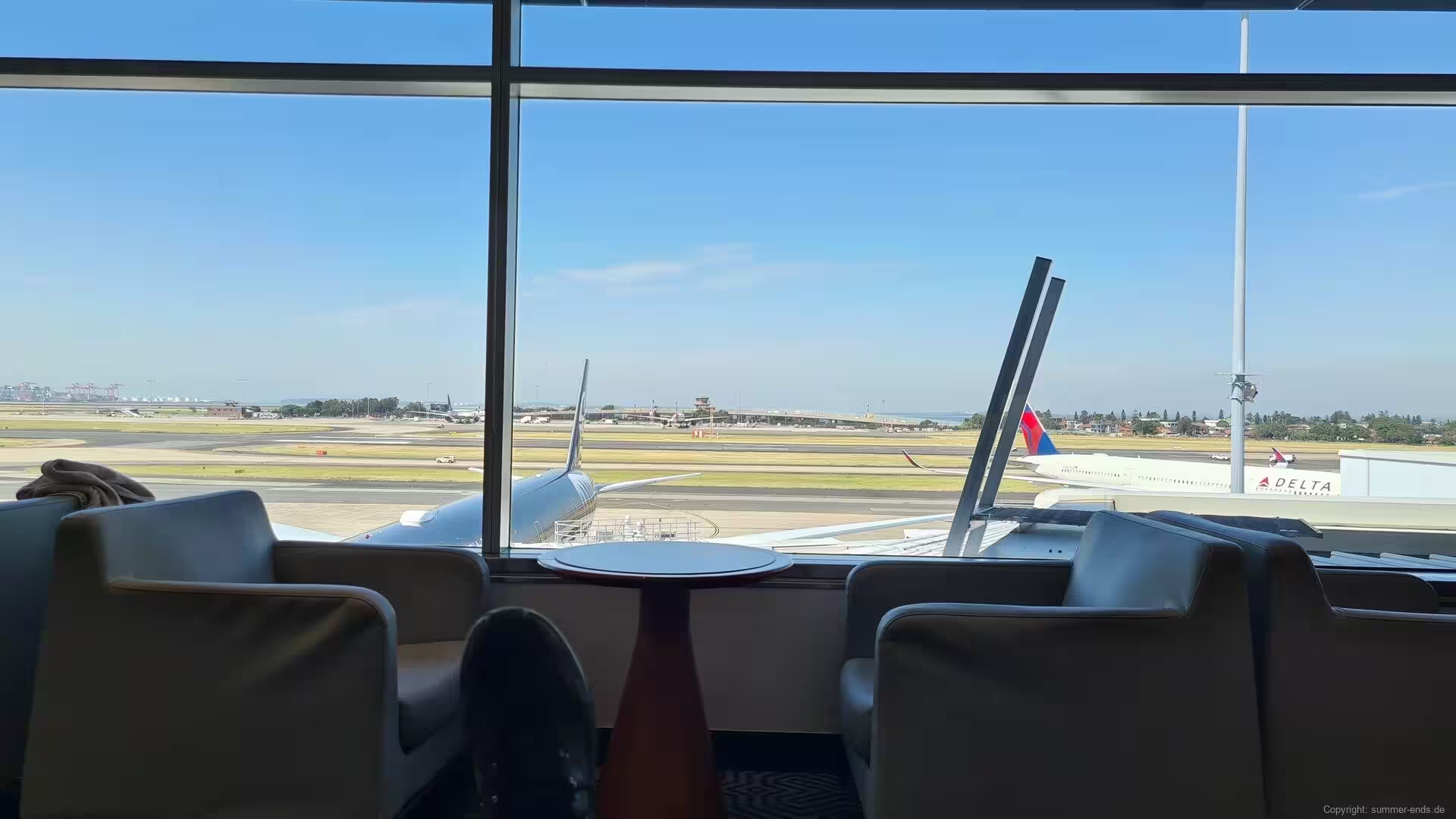
Sydney is Australia’s oldest and largest city and its principal gateway to the world. The financial and commercial district rises in glass towers around the harbour’s southern shore, the container port works at Port Botany, and Sydney Kingsford Smith Airport, opened in the 1920s on the edge of Botany Bay, is the busiest airport of the continent, one of the longest continuously operated commercial airports in the world. The metropolitan economy rests on finance, professional services, education, health care, technology, tourism and the creative industries, and is anchored by the University of Sydney and the University of New South Wales, both among the leading universities of the world.
Sydney has been an immigrant city since its foundation. After the Second World War mass migration from Europe, Asia and later from every continent reshaped its suburbs, and by 2021 more than forty per cent of the population had been born overseas. The city hosted the Olympic Games of 2000, the Rugby World Cup final of 2003 and the final of the Women’s World Cup of 2023, and its harbour, its beaches and its sandstone national parks make it one of the most visited cities of the world.
History
Aboriginal peoples have lived in the Sydney region for at least 30,000 years. The clans of the Eora people held the coast around Port Jackson, the Darug occupied the Cumberland Plain and the Dharawal the country south toward Botany Bay, and their engraved rock art, shell middens and ceremonial sites survive across the metropolitan area.
European ships reached the coast late. James Cook charted the eastern shore of the continent in 1770 and landed at Botany Bay on 29 April of that year, and in January 1788 the First Fleet under Arthur Phillip arrived to found the penal colony that Britain had planned for Botany Bay. Phillip found the bay open, shallow and exposed and moved the fleet a few kilometres north, into the deep, sheltered inlet that Cook had named Port Jackson. On 26 January 1788 the British flag was raised at Sydney Cove, a small sheltered beach below the present centre of the city, named for Thomas Townshend, Lord Sydney, then Home Secretary of Britain.
The settlement began as a convict colony of tents and bark huts, dependent on supplies from England and on the farms that slowly spread along the river flats. Free settlers, soldiers and former convicts soon outnumbered the transported prisoners, wool and whale oil made the port prosperous, and in 1842 Sydney was declared a city, the first in Australia. Through the second half of the nineteenth century the town grew into the principal port and commercial centre of the continent, its sandstone public buildings and its terraced suburbs spreading along the ridges of the harbour.
When the Australian colonies federated in 1901, Sydney became the capital of the new state of New South Wales within the Commonwealth of Australia. The interwar years brought the great public works: the Harbour Bridge, its steel arch completed in 1932 and long the widest of its kind in the world, and the beginnings of the modern city. In 1973 the Opera House, designed by Joern Utzon on Bennelong Point, opened on the harbour’s edge and became the most widely recognised building of Australia.
The decades after the Second World War transformed Sydney into a multicultural metropolis of more than five million people. Migrants from Britain and Europe, then from Asia and the Pacific, rebuilt the inner suburbs, and the city spread across the plain toward the mountains. The Olympic Games of 2000, staged around the harbour and at Homebush, announced the modern city to the world, and Sydney has since renewed its waterfront continuously, its older quarters of timber and sandstone standing beside the towers of the new century.
Geology
Sydney stands in the centre of the Sydney Basin, one of the great sedimentary basins of eastern Australia. The basin preserves Permian and Triassic rocks laid down over about 300 million years and reaching a thickness of some 5,000 metres, with economically important coal seams in its lower beds; it stretches from Newcastle in the north to Batemans Bay in the south and west beneath the Blue Mountains, and its eastern edge has partly subsided beneath the Tasman Sea.
The rock that shapes the scenery of Sydney is the Hawkesbury sandstone, laid down in the Triassic period, probably in a vast freshwater delta, and known to builders as Sydney sandstone or yellowblock. It is the caprock of the region: hard, thick-bedded and warm in colour, it forms the cliffs of the coast, the walls of the harbour and the great escarpments of the Blue Mountains, and its weathered outcrops give the beaches of the eastern suburbs their striped rock platforms. Quarried from the earliest days of the colony, the same sandstone built the public buildings and terraces of the Victorian city.
Port Jackson is a drowned river valley. When the sea level rose at the end of the last ice age, the ocean flooded the lower valleys of the Parramatta and Lane Cove rivers, turning their deep, narrow courses into the branching arms of the harbour. The water is salt to the tidal limit far inland, the old valley sides survive as the cliffs of the inner harbour, and the drowned landscape explains why so much of Sydney sits on water: the city grew around a harbour of extraordinary depth and shelter, carved by rivers that no longer reach the sea by their old beds.
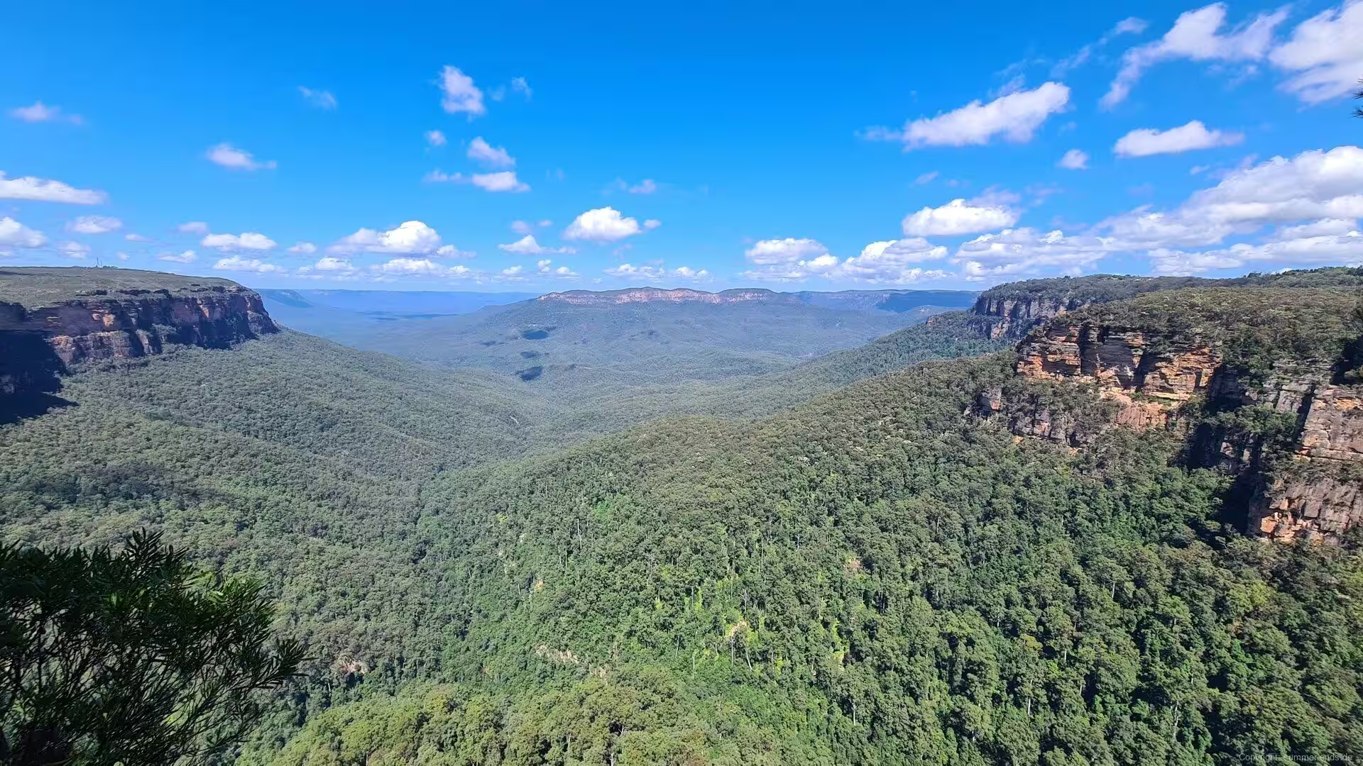
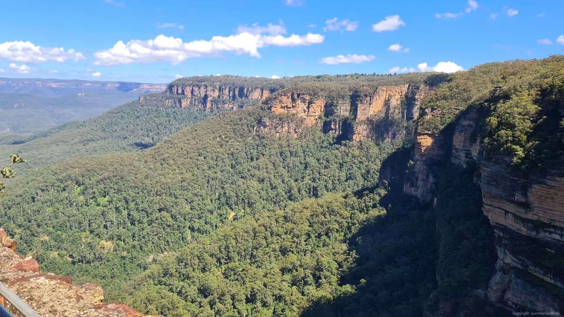
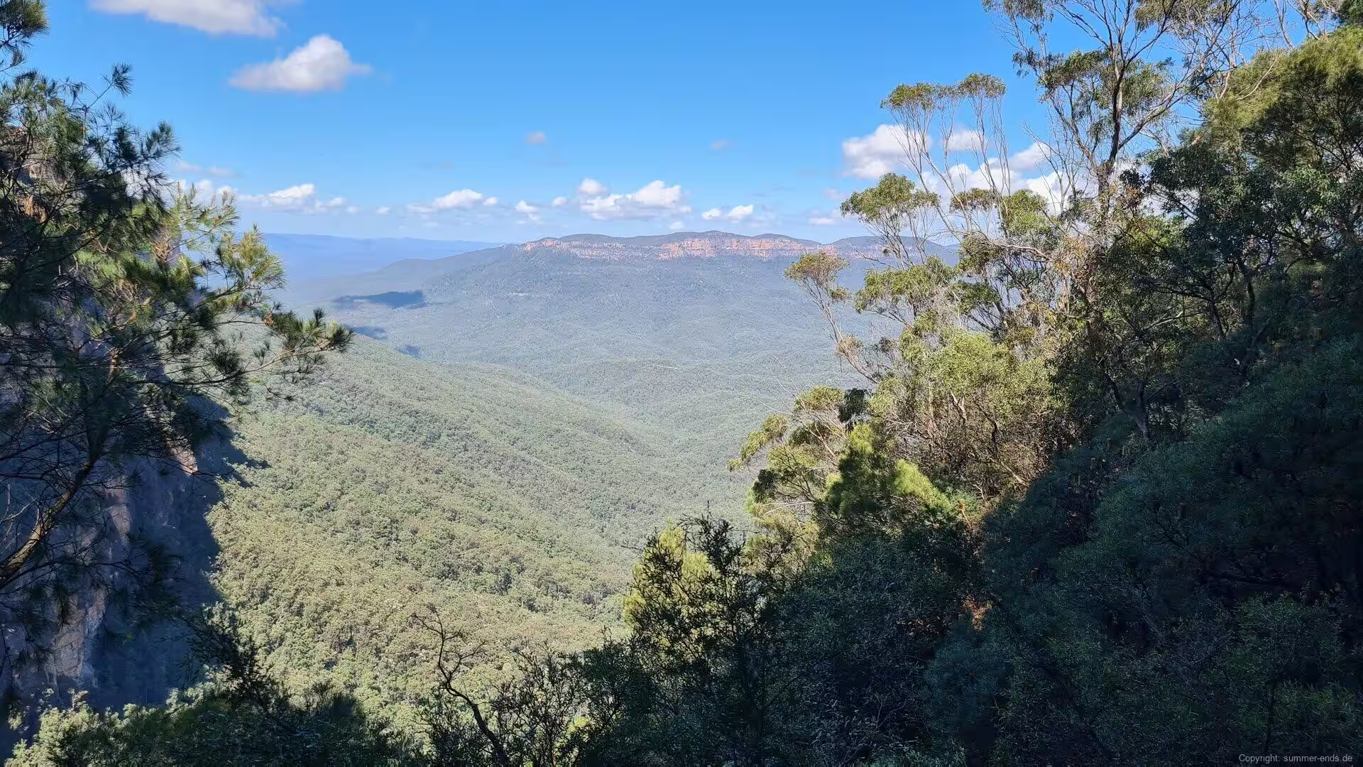
The Blue Mountains, which form the western horizon of the city, are an uplifted plateau of the same sandstone, raised about 50 million years ago and then dissected by rivers. The Grose River and its tributaries cut the deep Grose Valley into the plateau west of Sydney, waterfalls dropped over the escarpment edges as the valleys widened, and the once continuous caprock retreated into the cliffs and lookouts that now frame the valleys. Behind the plateau rim the catchment of Warragamba Dam, impounded as Lake Burragorang, supplies most of the drinking water of Sydney, while volcanic basalt that once covered the high country has largely worn away, surviving only in scattered outcrops.
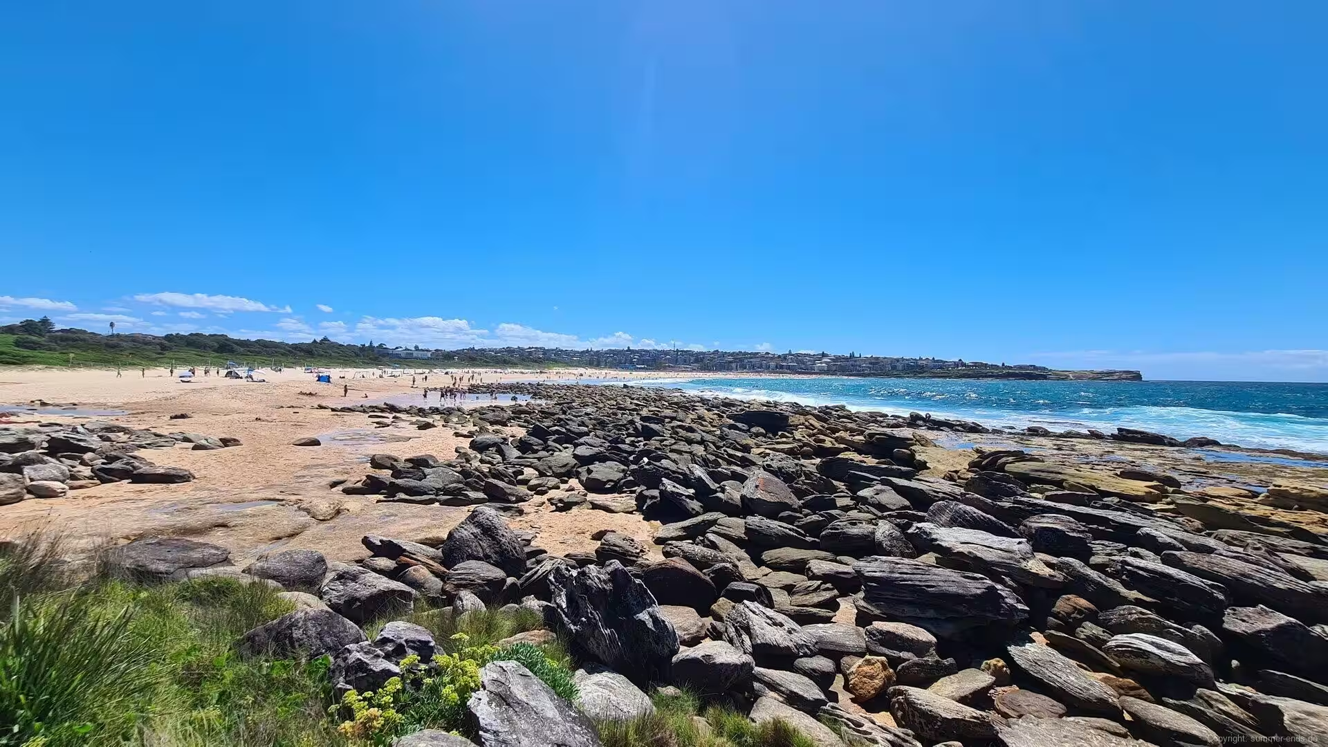
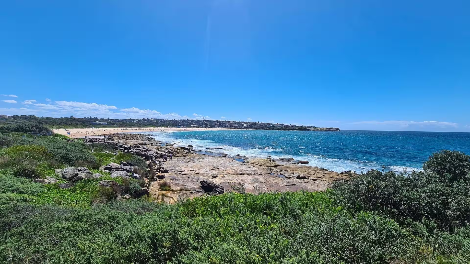
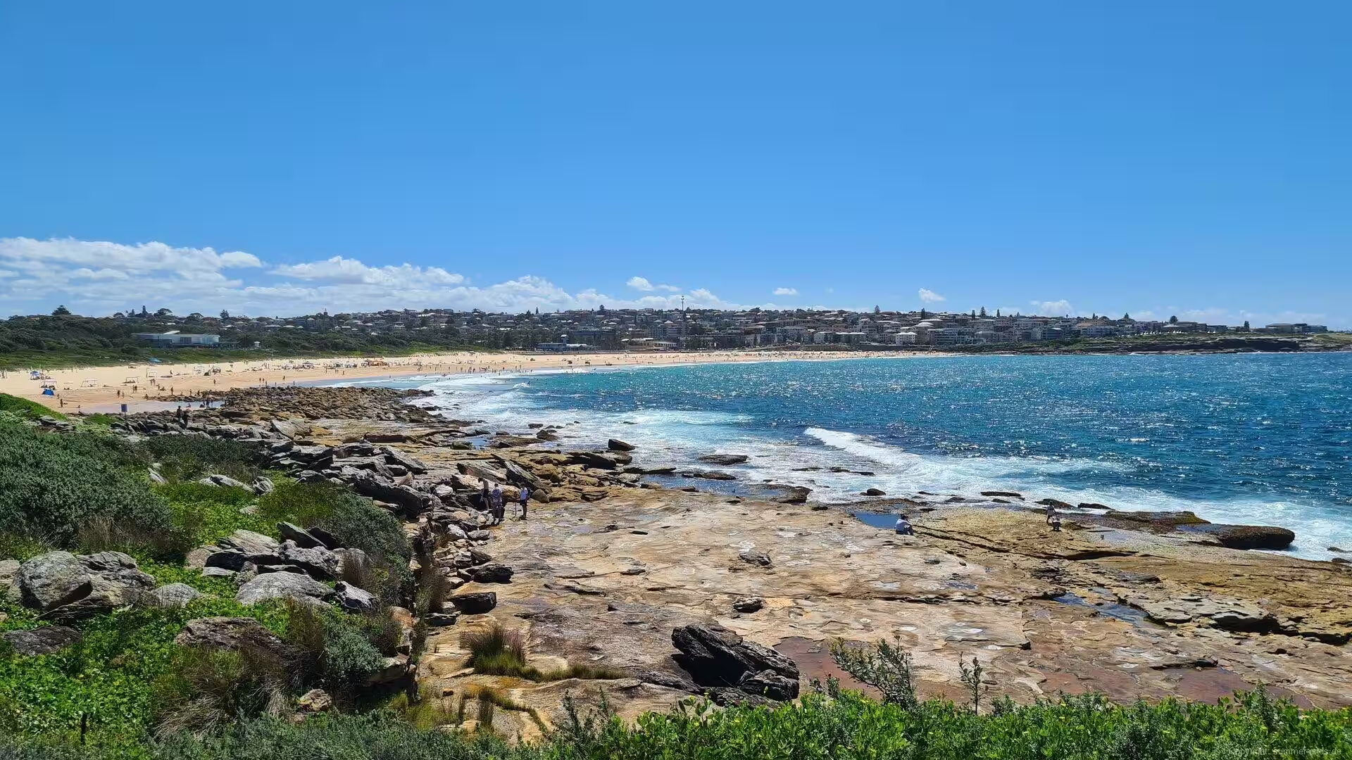
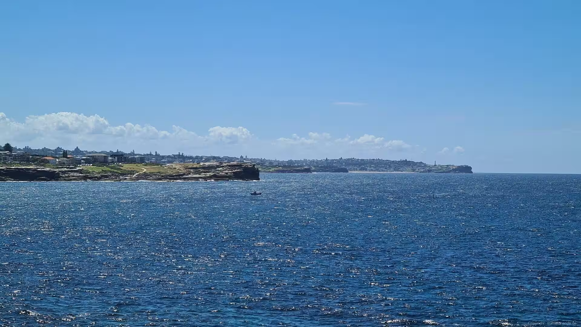
The coastline south of the harbour shows the same sandstone story in miniature. Headlands of Hawkesbury sandstone, their beds tilted and weathered into layered platforms, separate the beaches of the eastern suburbs, and each bay holds its own small beach of golden sand where a creek or a valley once cut through the rock. The surf works constantly at the base of the cliffs, undercutting them into platforms and boulder fields, so that a walk along the shore passes from beach to rock shelf to beach, the same rhythm repeated from the harbour to Botany Bay.
Things to See
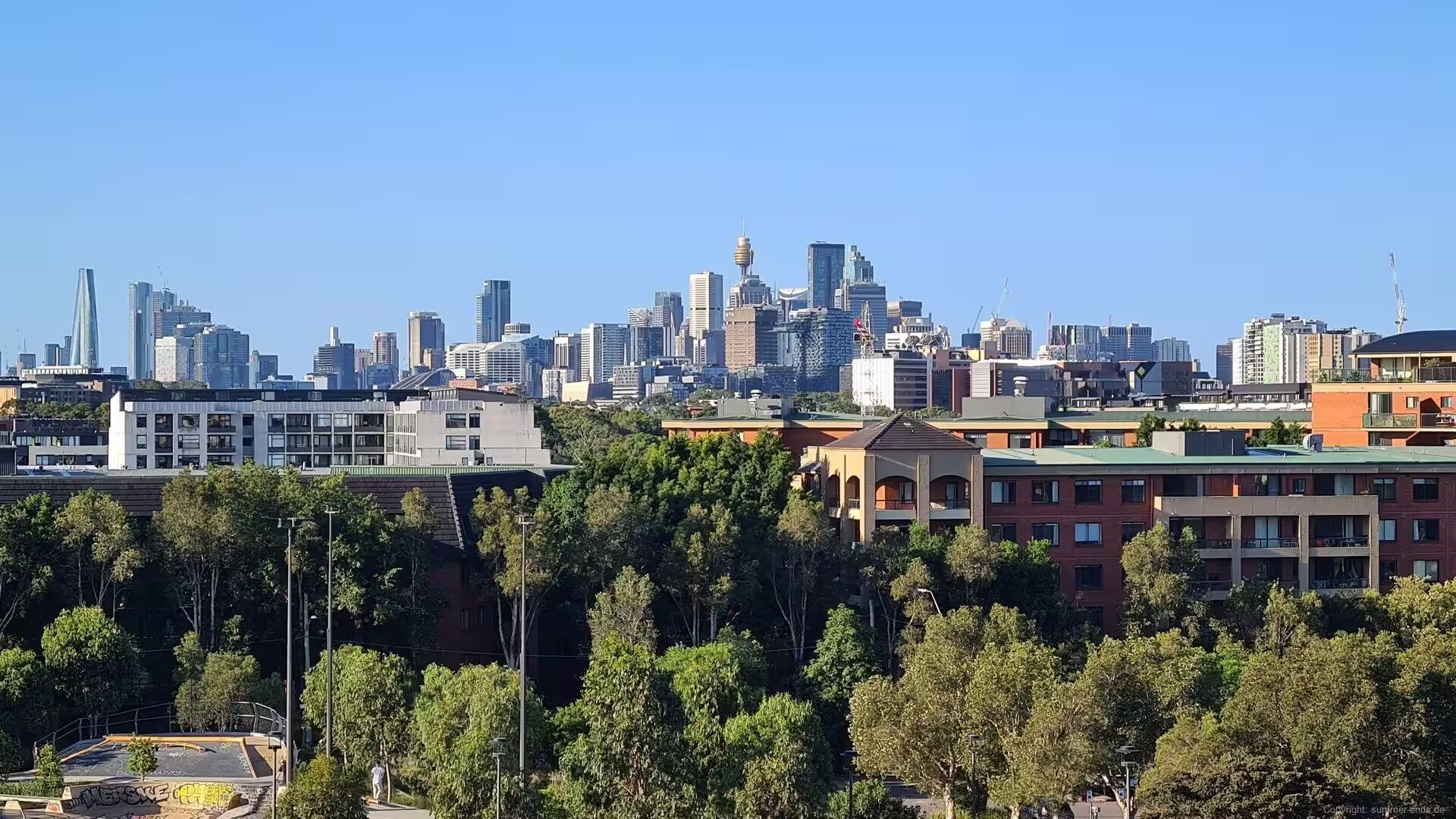
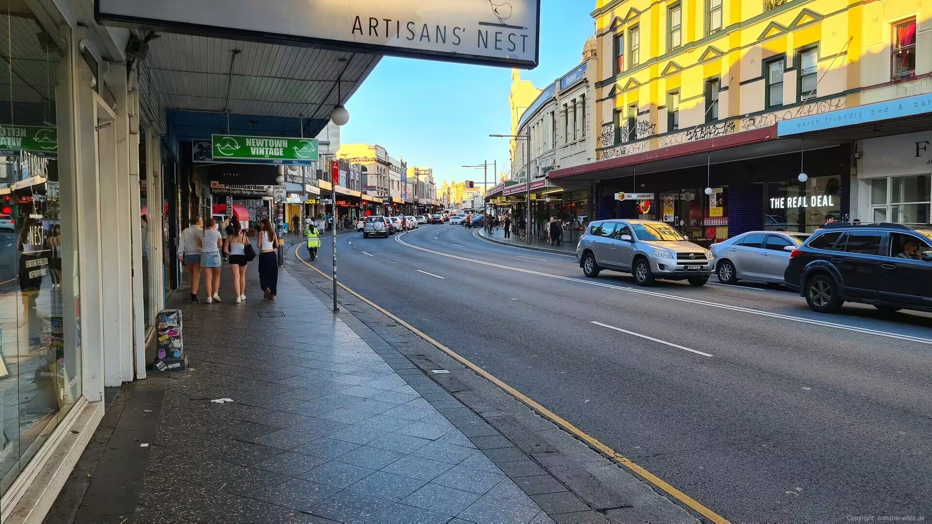
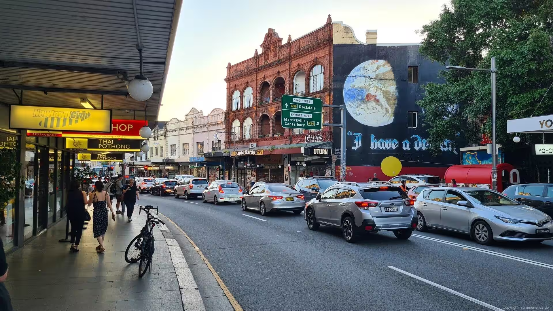
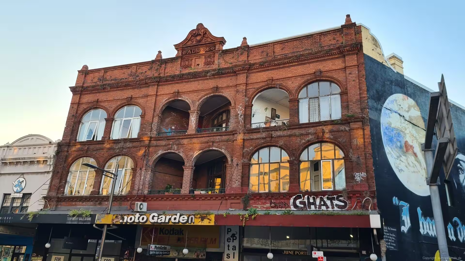
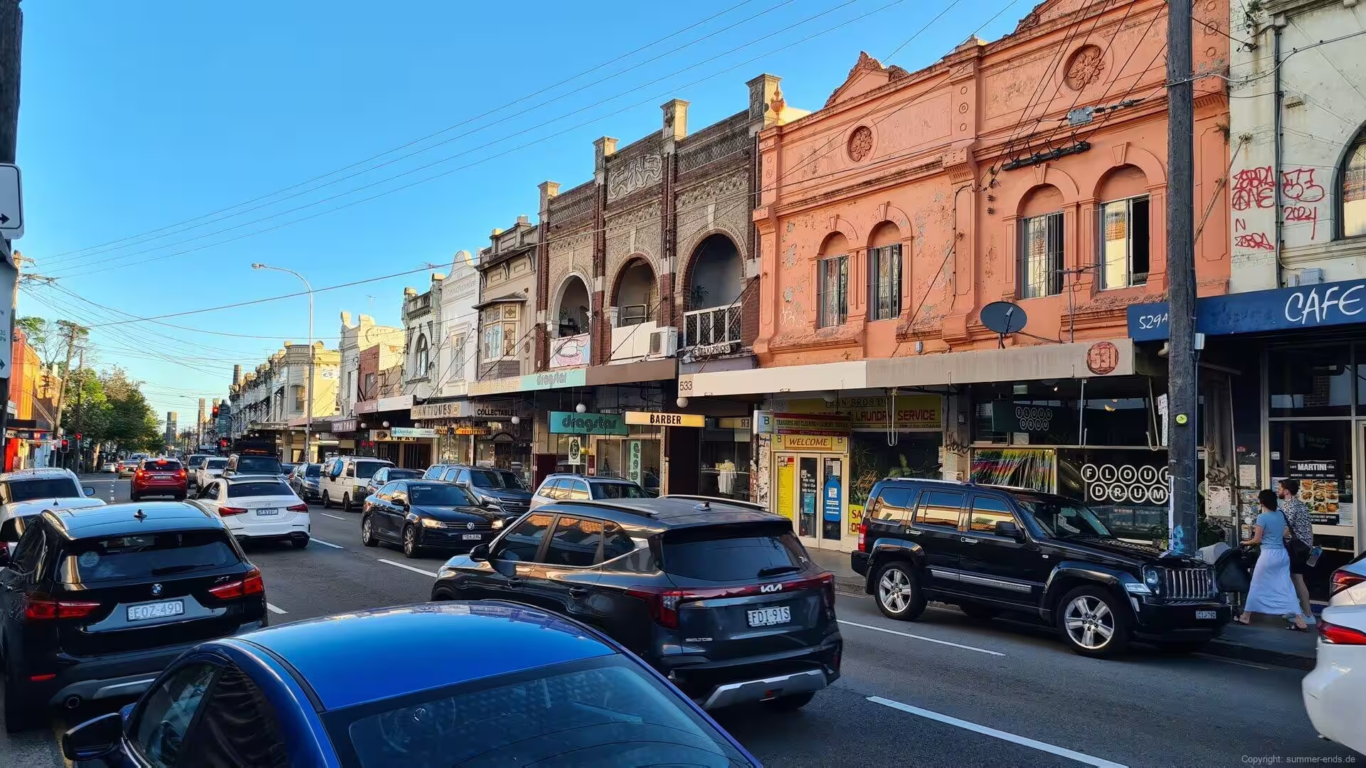
Four kilometres south-west of the centre, the suburb of Newtown lines the ridge of King Street, the longest and most complete commercial precinct of the late Victorian and Federation periods in Australia. More than six hundred shopfronts stand along King Street and its branch Enmore Road: two-storey brick terraces with cast-iron balconies, arched windows and ornate gables, one facade dated 1888, their ground floors given over to bookshops, record stores, pubs, cafes and restaurants. The strip is so dense with eating places that Sydneysiders call it Eat Street, and the gable walls of the older buildings carry large painted murals, among the most visible street art of the city. King Street is said to follow an old Aboriginal track that ran from the western highway to the coastal plains, and the ridge still offers sudden views across the rooftops toward the towers of the centre.
Above that skyline rises the slender shaft of Sydney Tower, the tallest structure of the city. The tower stands 309 metres high on Market Street, above the shopping centre that was once called Centrepoint, and its observation deck has been open to the public since September 1981; its lights mark the centre of Sydney by night. From the deck, and from many ridges of the inner suburbs, the whole harbour city lies below: the bridge, the Opera House, the ferries crossing the water and the sandstone headlands of the entrance.
The great excursion of the region leads west into the Blue Mountains, a sandstone plateau that begins about 50 kilometres from the centre of Sydney and rises to more than a thousand metres. The Blue Mountains National Park, gazetted in September 1959, protects about 268,000 hectares of the plateau, and the park is the core of the Greater Blue Mountains Area, inscribed on the World Heritage List in 2000 as one of the most diverse eucalyptus forests on earth. The escarpment edges carry the walks and lookouts, and the plateau itself is crossed by the railway and the highway that opened the mountains from the 1860s onward.
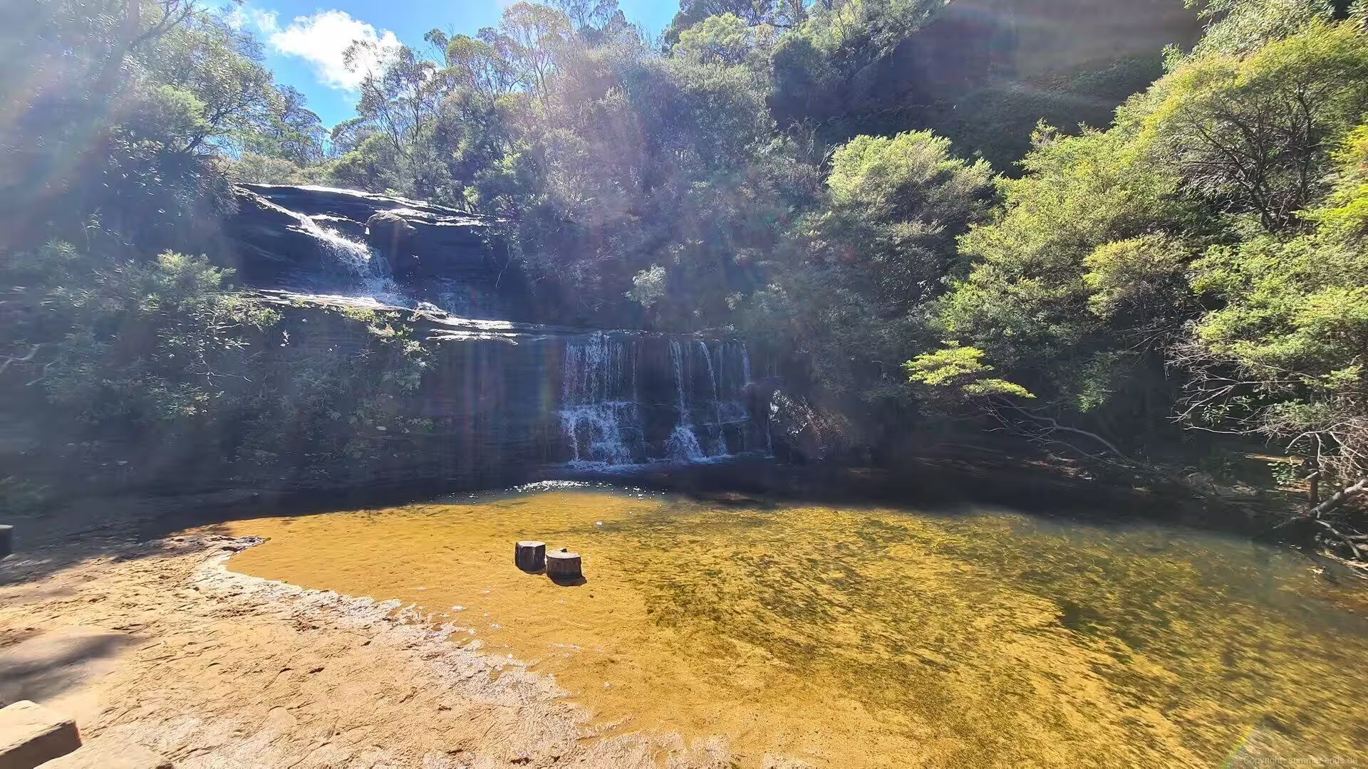
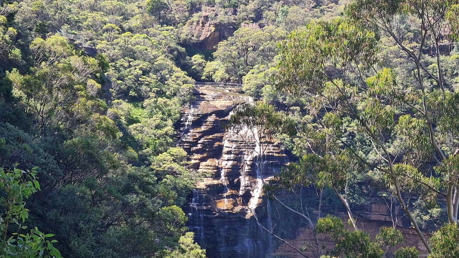
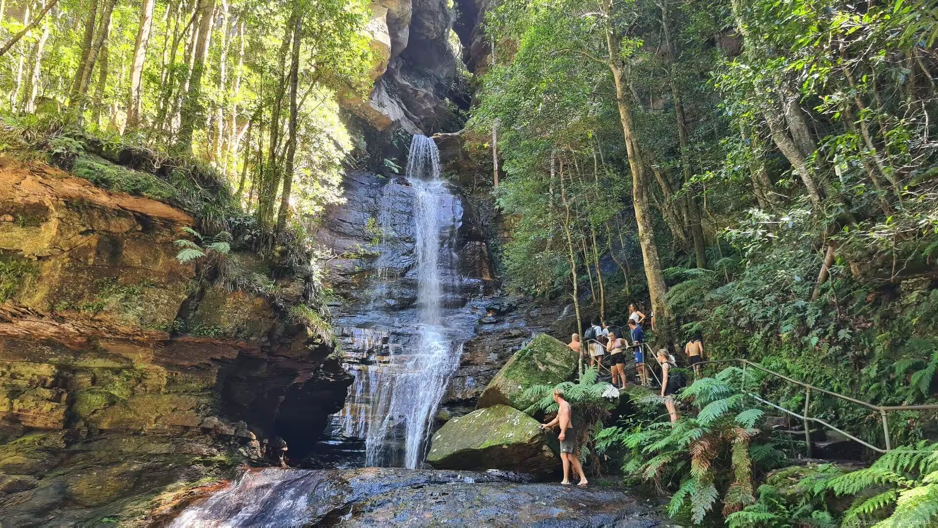
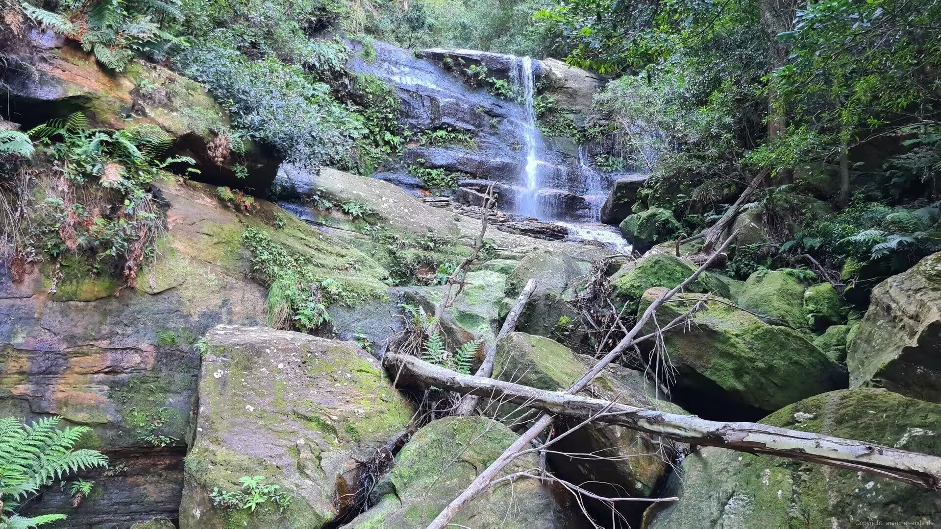
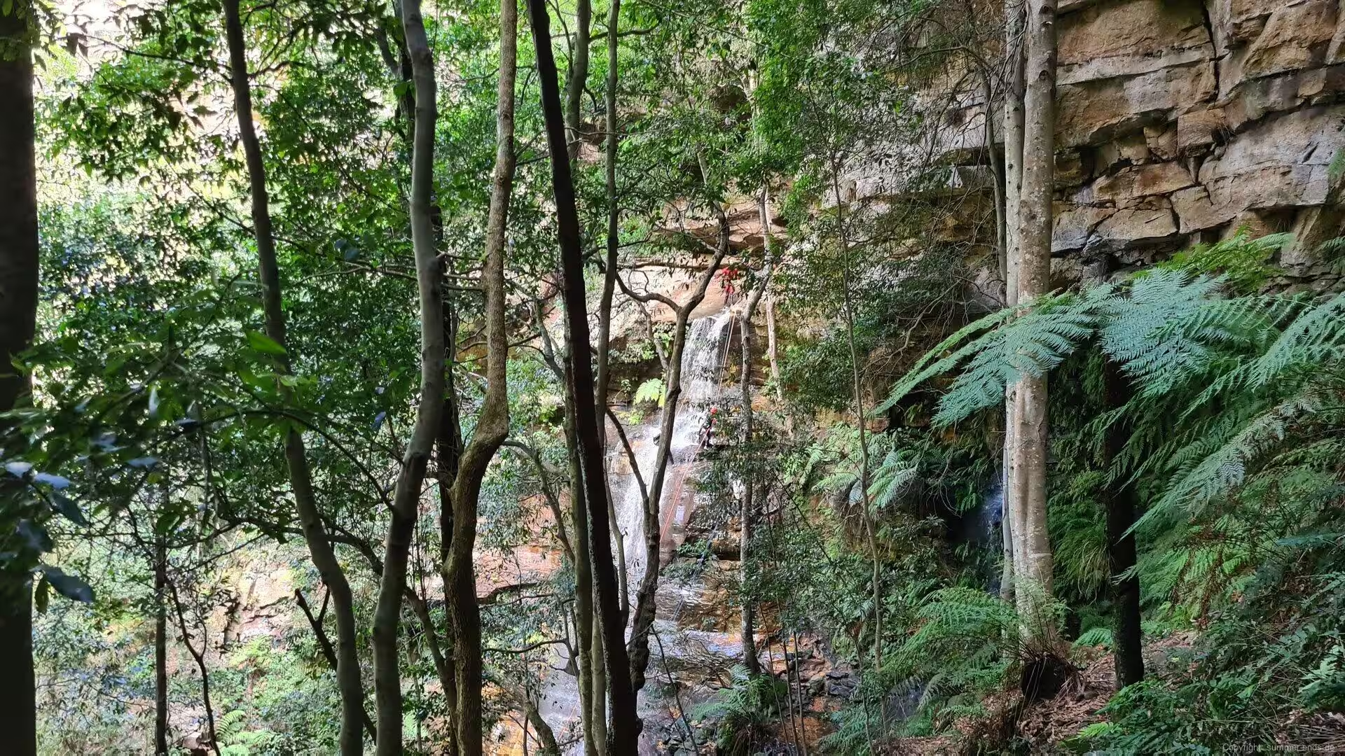
The town of Wentworth Falls stands on the plateau at 867 metres, about 100 kilometres from the city. Its name goes back to the waterfalls where Jamison Creek drops over the sandstone steps of the escarpment into the Jamison Valley: the falls were named for William Charles Wentworth, one of the three men who first crossed the mountains in 1813, and the village took its name from them in 1879. Charles Darwin walked out from the inn at Wentworth Falls in 1836 to the cliff edge, where the valley suddenly opens below, and the Charles Darwin Walk, opened in 1986, follows his route to the rim. Below the falls the creek gathers in clear rock pools ringed by fern and forest, where walkers swim in the summer.
Further west, at the highest point of the range, the town of Blackheath hangs on the edge of the Grose Valley. Two and a half kilometres east of the town, Govetts Leap is the finest of the lookouts: the escarpment falls away into a vast green gorge framed by orange sandstone walls, with the Grose River far below, and at its side the Govetts Leap waterfall drops 180 metres over the cliff called Taylor Wall, among the highest waterfalls of Australia. The valley floor is reached only on foot, and the lookout is one of the classic views of the mountains, its scale best read in the evening light.
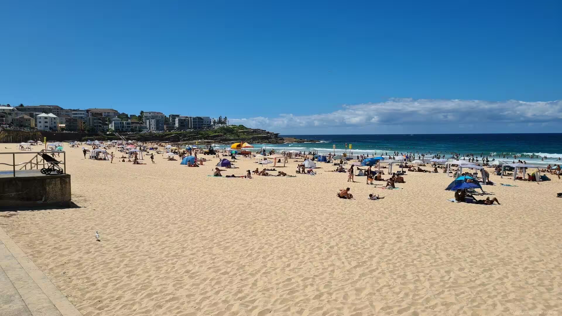
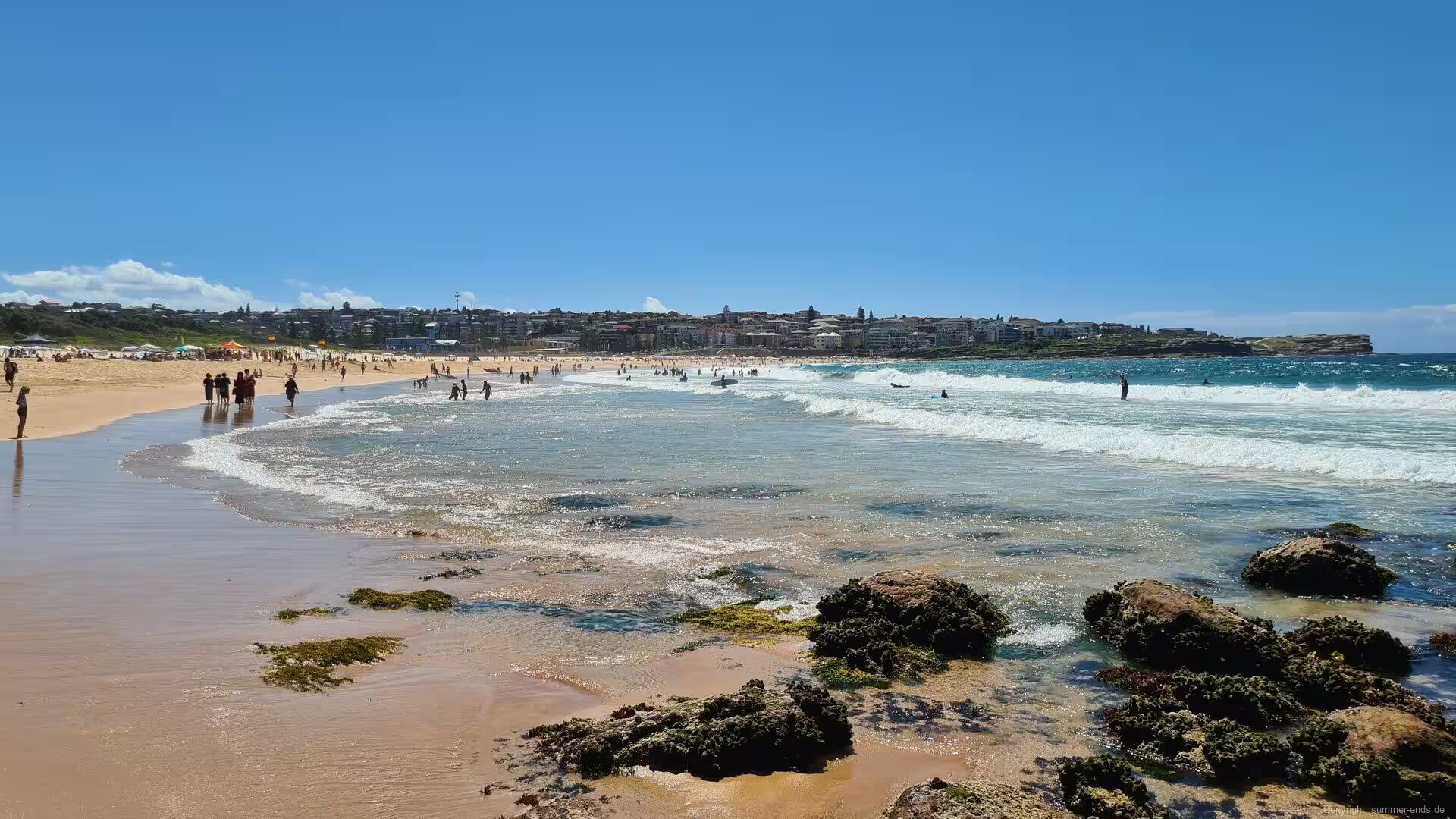
Back on the coast, Maroubra spreads along a wide surf beach ten kilometres south-east of the city centre, the largest suburb of the Randwick district. The beach faces the Tasman Sea between rocky headlands, surfers ride the break off the point, and at its southern end the layered sandstone platforms run out to the water, cut by the swell into shelves and pools. From Maroubra a coastal walk follows the cliffs southward, past the rock shelves and small coves toward Little Bay.
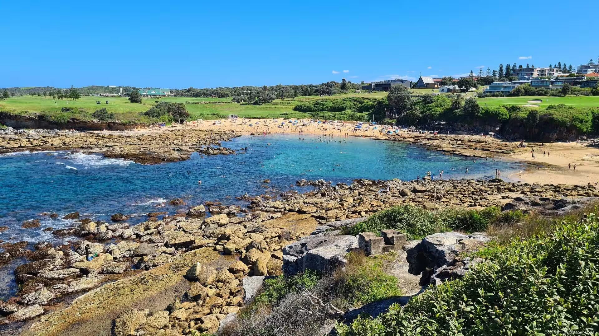
Little Bay is a sheltered turquoise cove between grassy headlands, its beach protected from the ocean swell and popular with swimmers. Above the cove the fairways of the Coast Golf Club run along the clifftops: the course began in the 1920s as a recreation ground for the staff of the nearby Prince Henry Hospital and was formally opened in 1965, and it is counted among the most spectacular coastal courses of Sydney, with the sea below almost every hole.
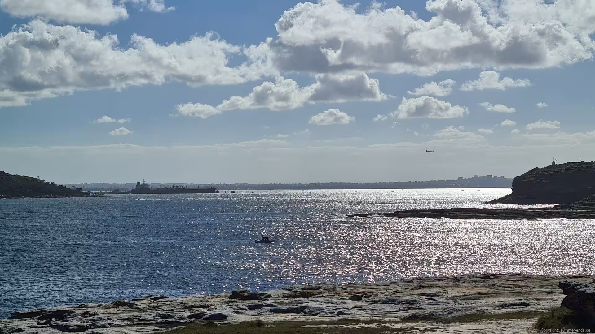
The peninsula of La Perouse closes the view at the northern headland of Botany Bay, fourteen kilometres from the centre. The suburb is named for the French navigator Jean-Francois de Galaup, comte de Laperouse, whose expedition ships Astrolabe and Boussole anchored in the bay in January 1788, only days after the First Fleet, on a voyage of Pacific exploration that had left France in 1785. Bare Island, joined to the shore by a footbridge, carries the fort built between 1881 and 1889 to defend the bay, its tunnels open to guided tours and its waters a favourite ground of divers. From the headland the whole bay opens: the ships working into Port Botany, the runways of Sydney Airport reaching into the water with the aircraft on final approach, and across the bay the Kurnell peninsula where Cook first landed in 1770. Both headlands of the bay belong to the Kamay Botany Bay National Park.
References
- Hughes, R. (1987). The Fatal Shore. London: Collins Harvill.
- Karskens, G. (2009). The Colony: A History of Early Sydney. Crows Nest: Allen & Unwin.
- Wikipedia contributors. Sydney. en.wikipedia.org/wiki/Sydney
- Wikipedia contributors. History of Sydney. en.wikipedia.org/wiki/History_of_Sydney
- Wikipedia contributors. Port Jackson. en.wikipedia.org/wiki/Port_Jackson
- Wikipedia contributors. Sydney Tower. en.wikipedia.org/wiki/Sydney_Tower
- Wikipedia contributors. Sydney Basin. en.wikipedia.org/wiki/Sydney_Basin
- Wikipedia contributors. Sydney sandstone. en.wikipedia.org/wiki/Sydney_sandstone
- Wikipedia contributors. Newtown, New South Wales. en.wikipedia.org/wiki/Newtown,_New_South_Wales
- Wikipedia contributors. King Street, Newtown. en.wikipedia.org/wiki/King_Street,_Newtown,_Sydney
- Wikipedia contributors. Blue Mountains (New South Wales). en.wikipedia.org/wiki/Blue_Mountains_(New_South_Wales)
- Wikipedia contributors. Blue Mountains National Park. en.wikipedia.org/wiki/Blue_Mountains_National_Park
- Wikipedia contributors. Grose Valley. en.wikipedia.org/wiki/Grose_Valley
- Wikipedia contributors. Govetts Leap. en.wikipedia.org/wiki/Govetts_Leap
- Wikipedia contributors. Wentworth Falls. en.wikipedia.org/wiki/Wentworth_Falls
- Wikipedia contributors. Maroubra, New South Wales. en.wikipedia.org/wiki/Maroubra,_New_South_Wales
- Wikipedia contributors. Little Bay, New South Wales. en.wikipedia.org/wiki/Little_Bay,_New_South_Wales
- Wikipedia contributors. La Perouse, New South Wales. en.wikipedia.org/wiki/La_Perouse,_New_South_Wales
- Wikipedia contributors. Bare Island (New South Wales). en.wikipedia.org/wiki/Bare_Island_(New_South_Wales)
- Wikipedia contributors. Botany Bay. en.wikipedia.org/wiki/Botany_Bay
- Wikipedia contributors. Sydney Airport. en.wikipedia.org/wiki/Sydney_Airport
- UNESCO World Heritage Centre. Greater Blue Mountains Area. whc.unesco.org/en/list/917/
- NSW National Parks and Wildlife Service. Kamay Botany Bay National Park. www.nationalparks.nsw.gov.au/visit-a-park/parks/kamay-botany-bay-national-park
- The Coast Golf Club. About Us. www.coastgolf.com.au/cms/about-us/