Grande Traversata delle Alpi · 2025
2025 Italy - Grande Traversata delle Alpi


Journal Notes
General
The Grande Traversata delle Alpi (GTA) is a long-distance walking route of about 1,000 kilometres that follows the arc of the western Alps through the Italian region of Piedmont, from the Pennine Alps in the north to the Ligurian Alps in the south. It is divided into 55 day stages of five to eight hours of walking and was conceived as a route through the lesser-known mountain country of the region: it connects remote valleys and high-lying villages over historic pass routes, avoiding the major tourist centres. The official starting point at the northern end is Molini di Calasca in the Valle Anzasca, and the route ends at Viozene above Ormea in the upper Val Tanaro; it may however be walked in either direction, and the Italian guide tradition describes it from south to north.
Along its course the GTA crosses the Pennine Alps of the Val d’Ossola, the Graian Alps with the Gran Paradiso range, the Cottian Alps between the Susa and Varaita valleys, and the Maritime and Ligurian Alps as far as the Tanaro. The boundary between its northern and southern halves lies in the Susa valley, reached after 26 stages. The lowest point of the whole route is Quincinetto at 295 metres where the Dora Baltea leaves the mountains, while the highest point on the trail itself is the Testa dell’Assietta at 2,567 metres; the Rocciamelone at 3,538 metres can be climbed as an optional side-summit. Stages typically involve between 600 and 1,200 metres of ascent and descent, the route is usually free of snow by late June, and it presents no technical difficulties, although trail marking is irregular in places.
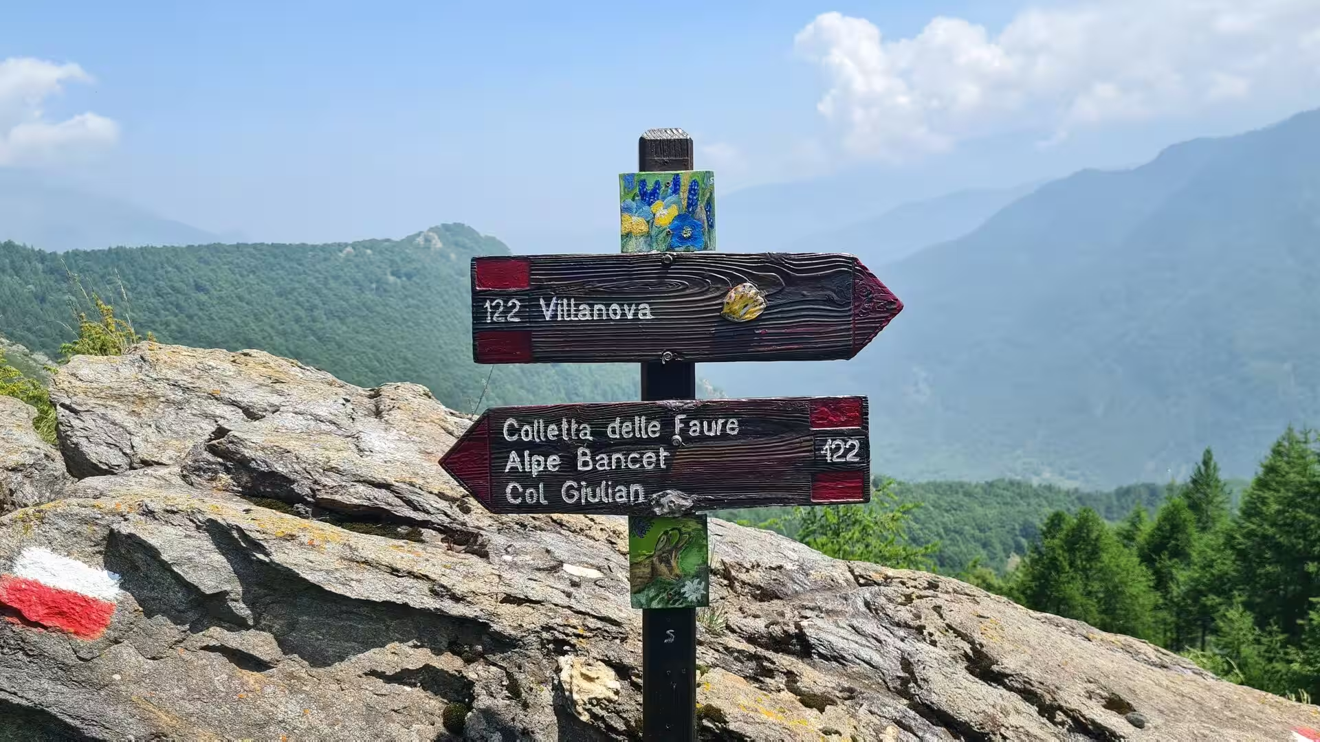
The trail is planned around overnight accommodation. Most stages end at a rifugio or at one of the GTA’s posti tappa, small inns and guesthouses that fly the red-and-white GTA flag and offer half board; between Forno Canavese and Viozene the route can be walked without camping. Waymarking consists of red-white-red paint bars, often carrying the letters gta, and in places the route follows the red-blue trail of the Via Alpina or shares its ground with the Sentiero Italia. The region is Turin’s mountain hinterland: the upper valleys of the Germanasca and the Pellice lie some 50 to 70 kilometres south-west of the city, at the border with the French Queyras.
The landscape through which the GTA passes is subalpine and montane, a formerly cultivated country of terraced slopes, chestnut woods and high pastures that lost most of its population during the twentieth century. Between 1870 and 2000 the valleys of the route lost about 80 per cent of their inhabitants, and some upper communities between 90 and 95 per cent, leaving many hamlets abandoned or inhabited only in summer. The route often follows the old mulattiera paths that once linked these settlements, and it crosses a cultural borderland in which Piedmontese, Occitan and Franco-Provençal speech meet, and where the Waldensian Protestant tradition has its historic home in the valleys of the Pellice, the Chisone and the Germanasca.
Today the GTA is walked by an estimated 1,000 long-distance hikers each season, most of them from German-speaking countries, with an average stay of about a week and many returning walkers. The association that created the route still maintains its network of accommodation, and the trail is promoted as a model of soft, sustainable tourism for mountain regions threatened by depopulation.
History
The idea of the Grande Traversata delle Alpi was taken from France, where a long-distance crossing of the Alps had been established around 1970. In the mid-1970s a group of Turin mountaineering enthusiasts gathered around the Rivista della Montagna, a magazine of the city’s mountain bookshop, and developed the concept of a Piedmontese counterpart: a continuous path following the whole Alpine arc of the region. The volunteers later formed the Associazione GTA, marked the trail and organised its overnight accommodation, attracting public funds. The route was deliberately planned to run from inhabited village to inhabited village rather than along the old trade routes, so that walkers would always find a roof and a meal. A guidebook appeared in instalments between 1981 and 1989, and in 1982 a formal walking tour was organised to publicise the new trail. Interest peaked early: in 1979 some sections recorded up to 300 overnight stays in a season.
In the decades that followed, Italian participation waned and the volunteer base of the association shrank, but the GTA found a new audience abroad. From 1985 the German geographer Werner Bätzing presented the route in the German-speaking world as an exemplary project of environmentally friendly tourism, and his two-volume guide, published by Rotpunktverlag (the northern part in 2005, the southern part in 2003), became the standard German companion to the trail; an English guide by Gillian Price followed with Cicerone Press in 2005. Most of today’s long-distance walkers still come from German-speaking countries, and the valleys of the route owe a visible part of their summer economy to this stream of visitors.
The middle section of the GTA crosses the historic Waldensian valleys. The valleys of the Pellice, the Chisone and the Germanasca served from the Middle Ages as a refuge for the Waldensians, the followers of the preacher Peter Waldo of Lyon, who were persecuted in France and northern Italy. The Waldensians of the valleys adhered to the Protestant Reformation in the early 1530s, at the assembly of Chanforan in the Val Pellice in 1532 and at a synod held in the Germanasca in 1533; in 1556 a temple was built at Ghigo to serve all the Waldensians of the upper valley. The seventeenth century brought repeated campaigns against them: the massacres of the Piedmontese Easter of 1655 cost, according to Waldensian sources, the lives of 1,712 people, and in 1686 Savoyard troops killed about 3,000 and imprisoned some 8,500 more, while the survivors were allowed to emigrate to Geneva.
From Geneva came the Glorious Return of 1689, when about 1,000 Waldensians marched back through the Alps in fifteen days to recover their valleys, beginning a guerrilla war of liberation that ended with the recognition of their rights. The Savoyard state long continued to press Catholicism on the valleys, rebuilding a Catholic church at the frazione of Villa in the Germanasca in 1767; full civil recognition came only with the Statuto Albertino of 1848. Today the Waldensian Evangelical Church still counts the majority of the population of the upper Germanasca and the Val Pellice among its adherents, and the seventeenth of February, the day of the emancipation, is kept as a valley festival.
The Germanasca valley itself, known in earlier centuries as Val San Martino, changed hands repeatedly between Savoy, France and local powers, and its mouth was guarded by the Forte Luigi, one of the fortresses of the House of Savoy. It suffered plague between 1630 and 1655, occupation by French troops after the surrender of 1686, and Napoleonic rule before passing finally to the Savoyard kingdom in 1815. Its lasting industry was the mining of talc, worked in the valley for centuries and still partly active today; the underground galleries can be visited as the Scopriminiera, a show mine that preserves the memory of this trade.
Geology
The western Alps are a young fold mountain chain, raised in the course of the Alpine orogeny when the African plate collided with the European continent. The GTA follows the inner, Italian side of this arc, and its middle section runs through the Cottian Alps, the sector of the chain that separates Piedmont from the French departments of Savoy and the Hautes-Alpes. In the standard SOIUSA subdivision the Cottian Alps are divided into three groups, the Monviso Alps in the south, the Monginevro Alps in the centre and the Moncenisio Alps in the north; the valleys of the Germanasca and the Pellice belong to the central group, the Alpi del Monginevro, whose crests here form the border with France.
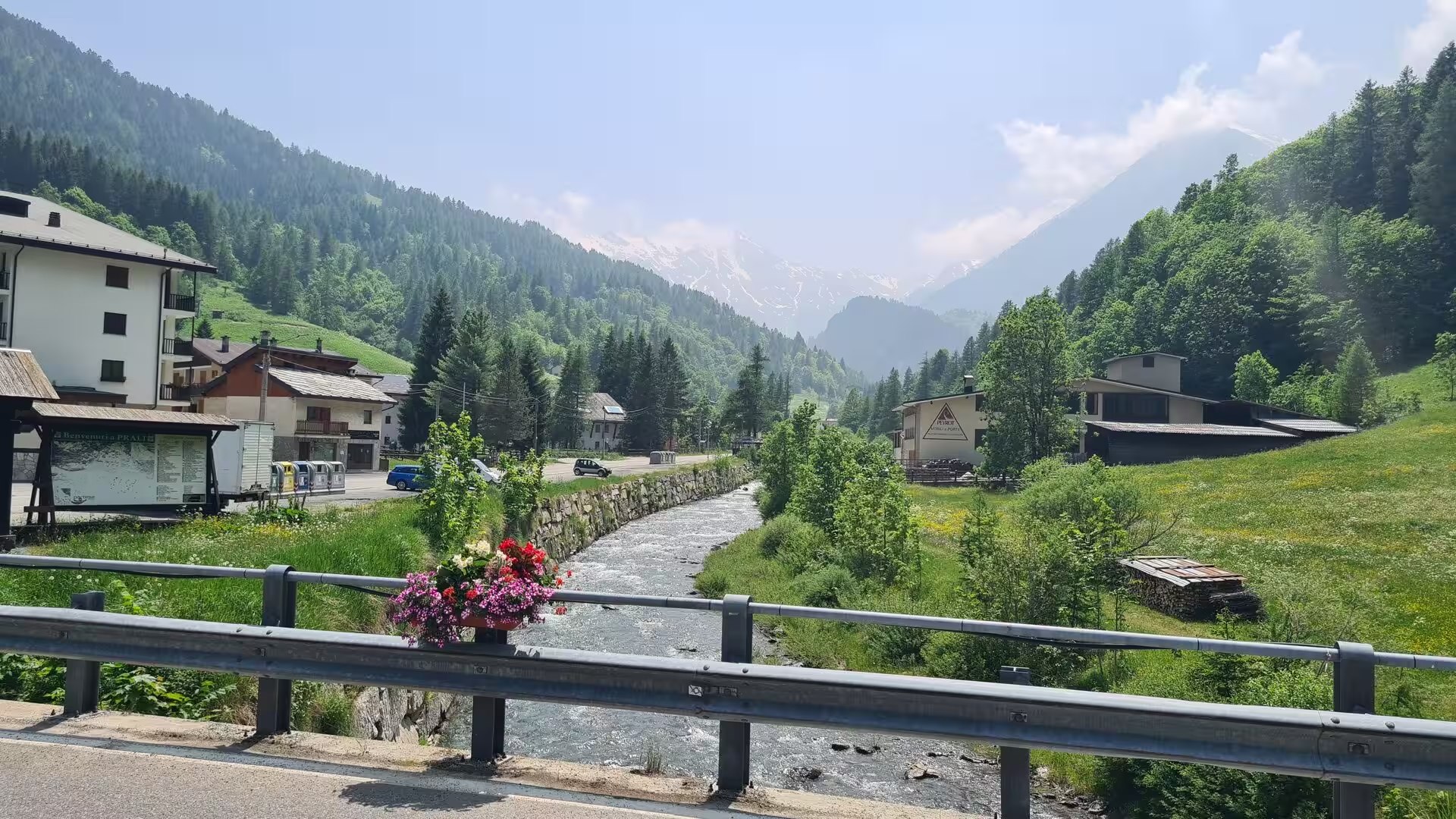
The Germanasca is a transverse valley cut deep into this mountain belt. It joins the wider Val Chisone at Perosa Argentina at about 600 metres and climbs south-westward to the broad basin of Prali at about 1,500 metres, where the main valley ends below a cirque of summits: Gran Queyron at 3,060 metres, Bric Ghinivert at 3,037, Monte Barifreddo at 3,028 and Cima Frappier at 3,003 enclose the head of the valley, and Bric Bucie at 2,998 stands above the watershed with the Val Troncea. The river Germanasca, which gives the valley its name, flows into the Chisone as a right-hand tributary, and the most important of the side valleys, the Vallone di Massello, branches off towards the south-west beneath the same chain of peaks.
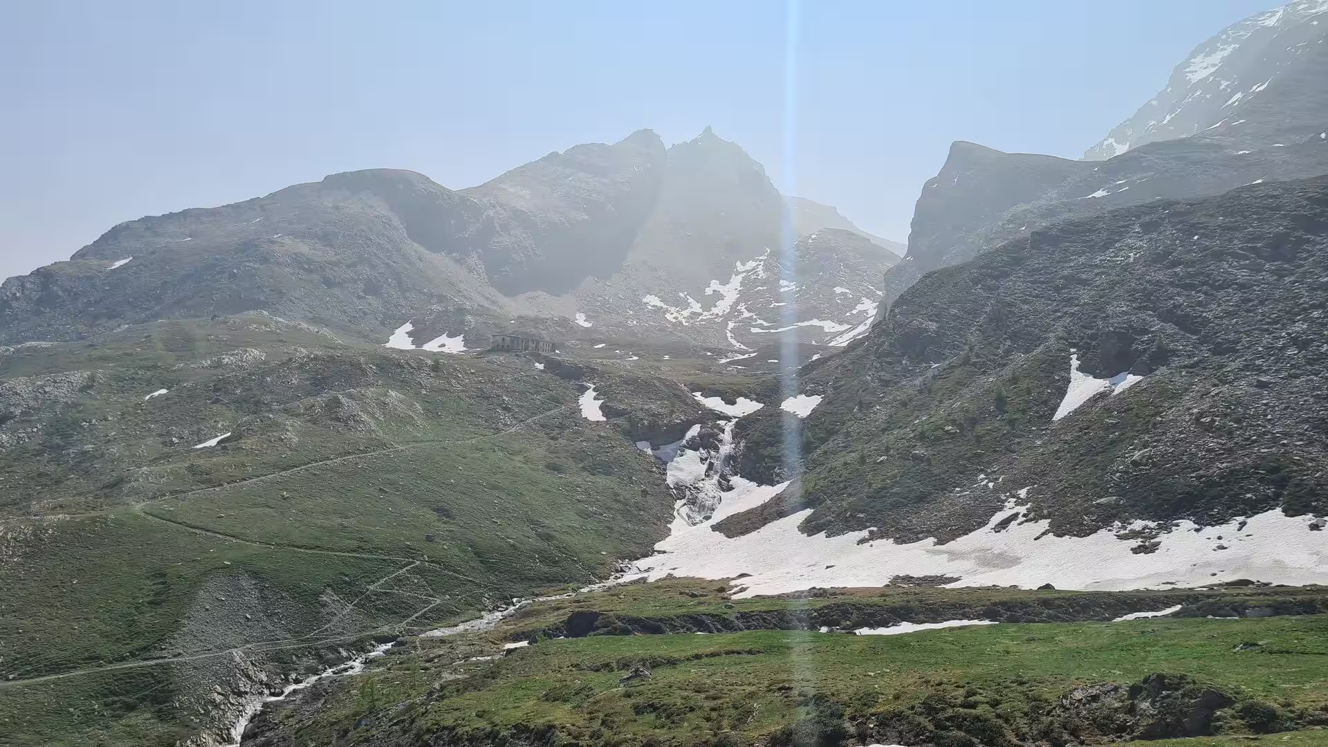
The rocks of the range are predominantly crystalline and metamorphic, deformed and recrystallised during the mountain building; the deep valleys expose long sections through these units, and the highest summits of the region, such as the Monviso at 3,841 metres, the culminating peak of the Cottian Alps which the GTA passes on its way from the Pian del Re to the Varaita valley, are built of rocks that originated in the ancient ocean floor of the Tethys. The shape of the landscape, however, is the work of ice and water. Pleistocene glaciers carved the wide U-shaped valley floors, the cirques at the valley heads and the moraines that dam several of the high basins, and left the chains of small lakes such as those of the Altopiano dei Tredici Laghi above Prali, the plateau of the thirteen lakes served by a chairlift in summer. Snowfields linger in the shaded hollows and on the high passes well into June, feeding the streams and waterfalls of the valley flanks.
The Cottian Alps are also the source region of one of the great rivers of Europe: the Po, the longest river of Italy, rises at about 2,020 metres on the eastern flank of the Monviso group near Pian del Re, and the GTA crosses this uppermost Po basin on its way around the mountain. On the Italian side of the chain the drainage is carried by the Pellice, the Chisone with the Germanasca, the Varaita, the Maira and the Stura di Demonte, all of them tributaries of the Po that the route crosses in turn, while the French side drains towards the Durance and the Arc. The alternation of crystalline ridges, metamorphic schists and glacial deposits gives the valleys their varied soils and, with it, their mosaic of conifer forest, pasture and rocky summit country.
Things to See
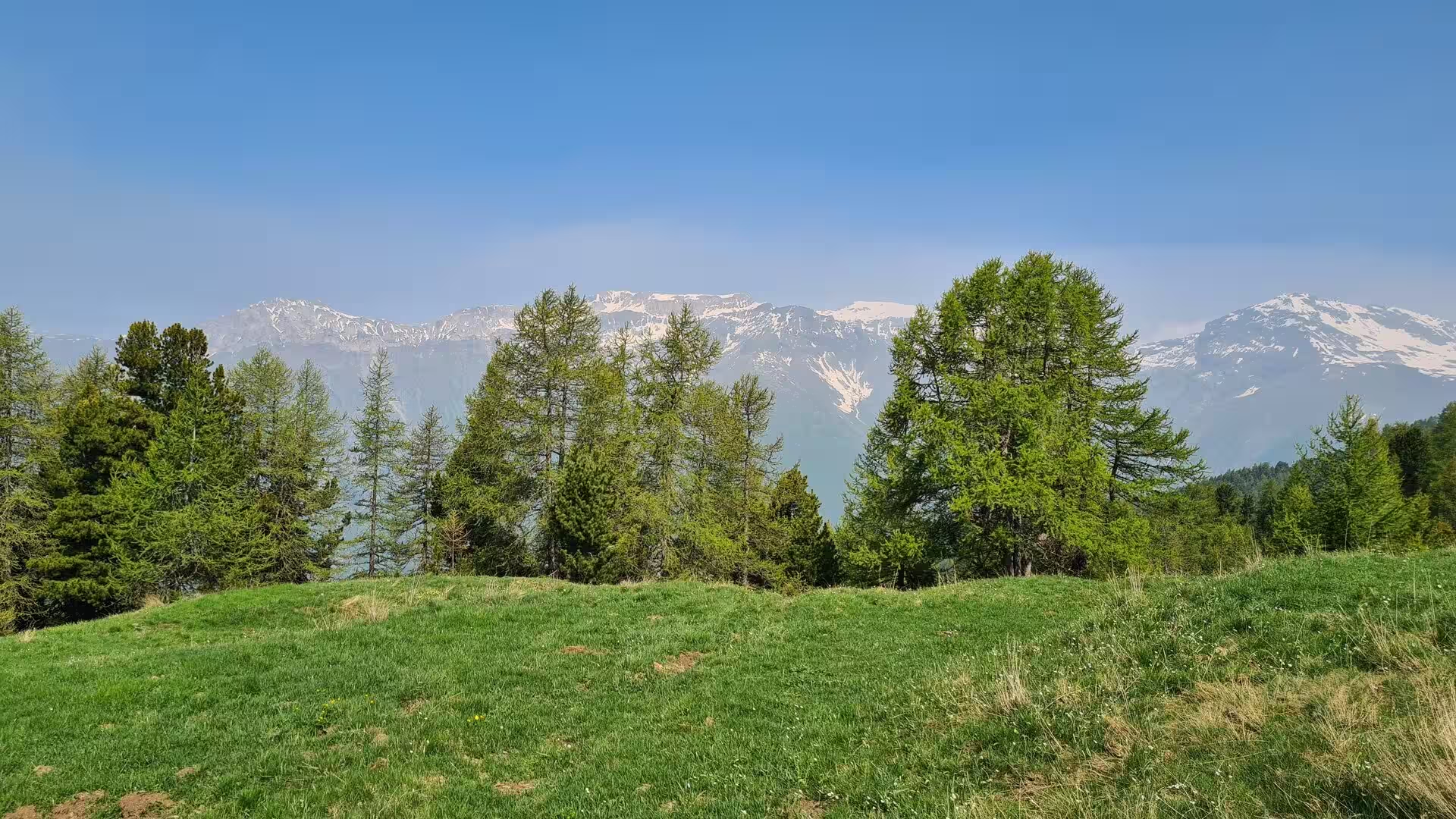
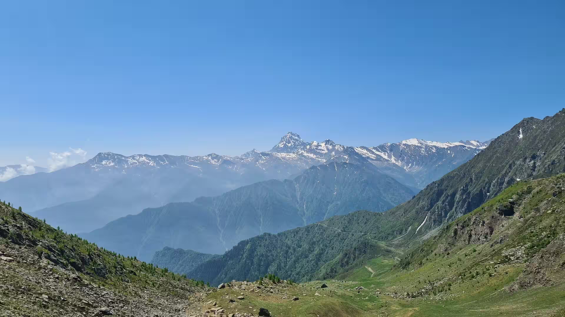
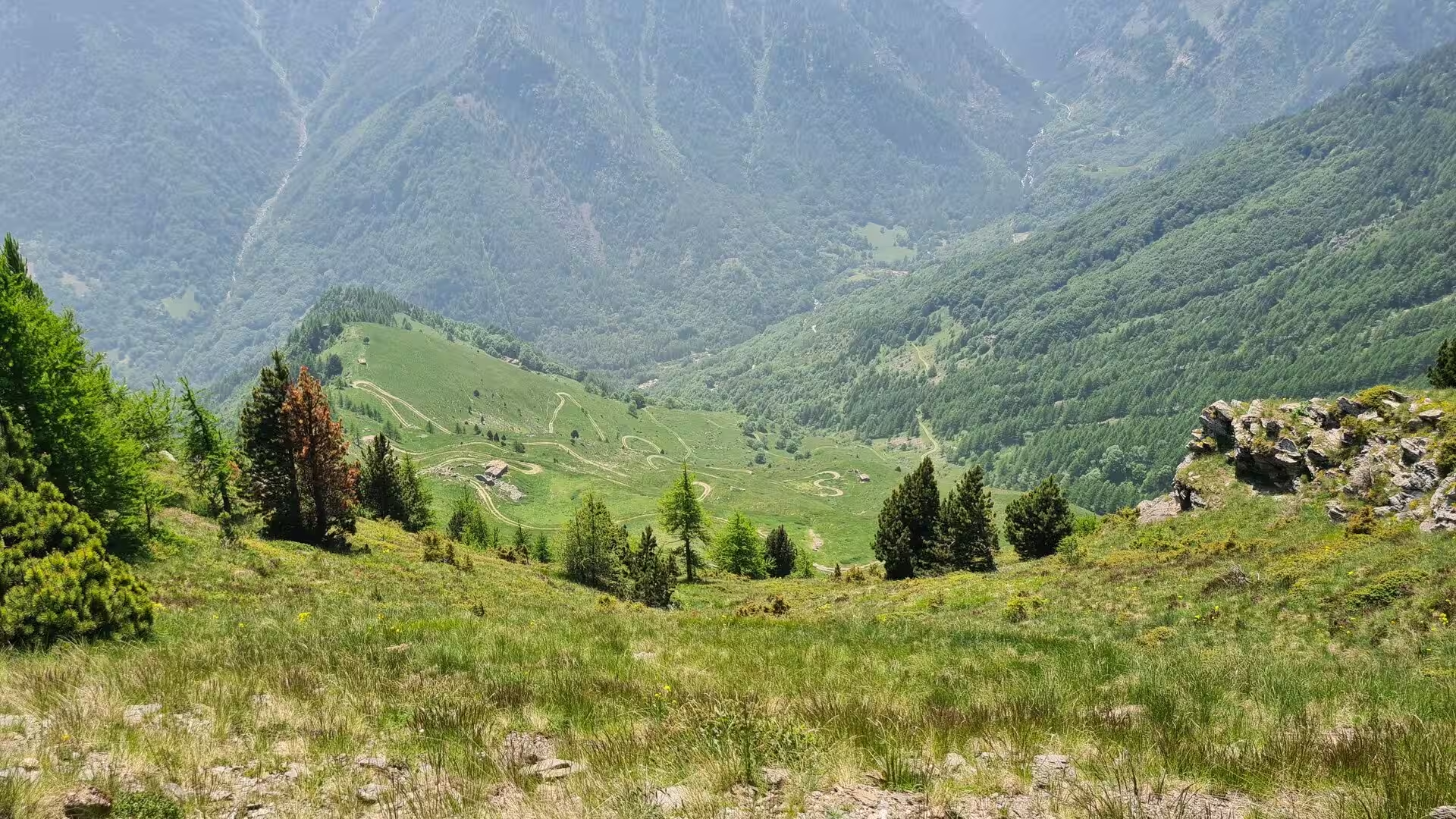
This section of the GTA lies in the Cottian Alps between the upper Val Germanasca and the head of the Val Pellice, two valleys joined by the trail over the Colle Giulian. It is a landscape of high pastures, conifer woods and stone villages that has kept much of its traditional mountain character, and it can be walked in both directions as a three- to four-day section of the grande traversata, with nights spent in the rifugi and posti tappa of the valley.
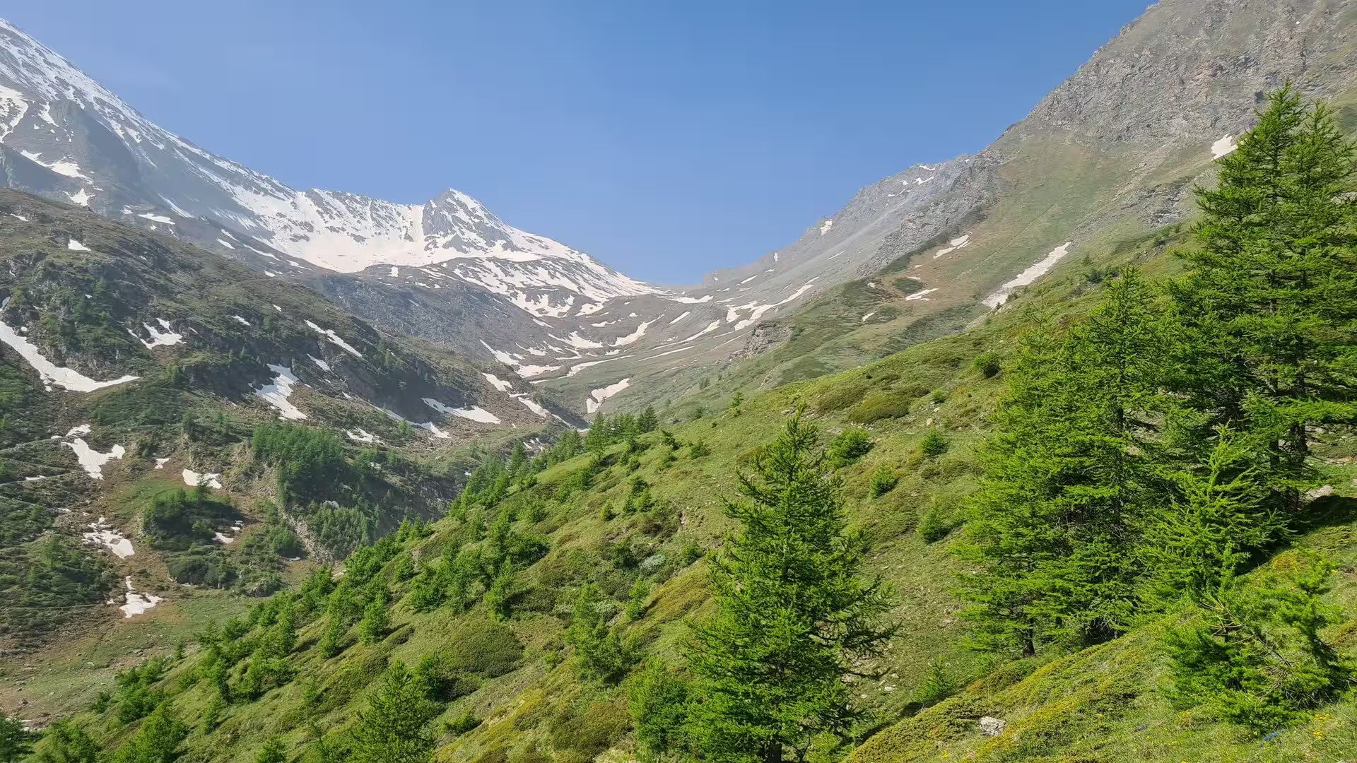
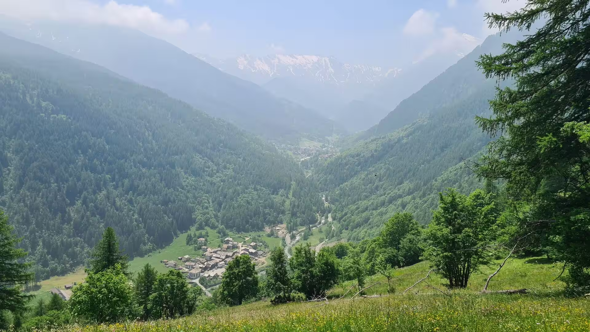
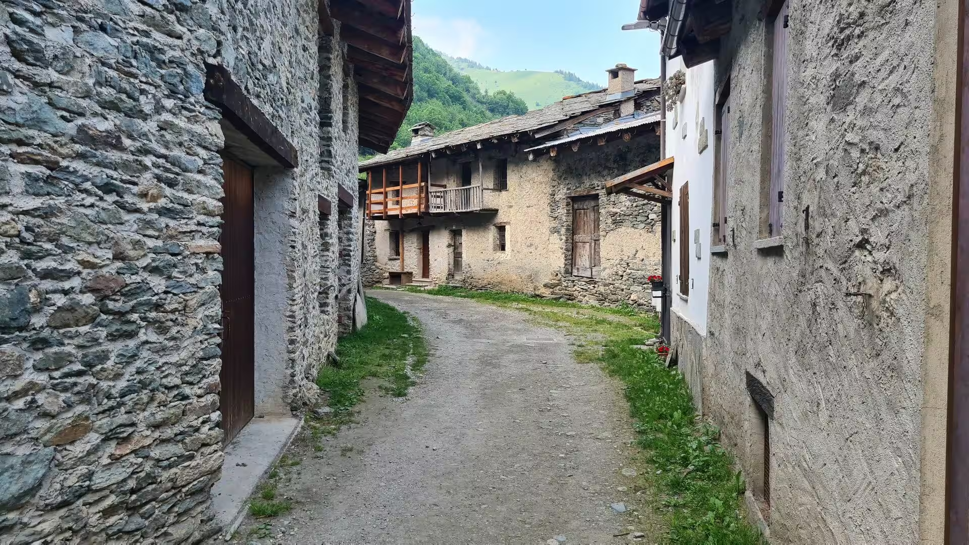
Ghigo di Prali, the chief village of the comune of Prali, stands at 1,455 metres in the wide, level basin at the head of the Germanasca, surrounded by forests of larch and spruce beneath the ring of 3,000-metre peaks. Its lanes run between old stone houses with wooden balconies and carved shutters, and the village preserves the memory of the Waldensian past of the valley: a temple was built here as early as 1556 to serve the whole upper Germanasca. Ghigo is the natural base for the valley, offering the last shops before the high trail and the starting point of the chairlift to the Altopiano dei Tredici Laghi, the plateau of the thirteen lakes whose cirques and moraines fill with hikers and families in summer.
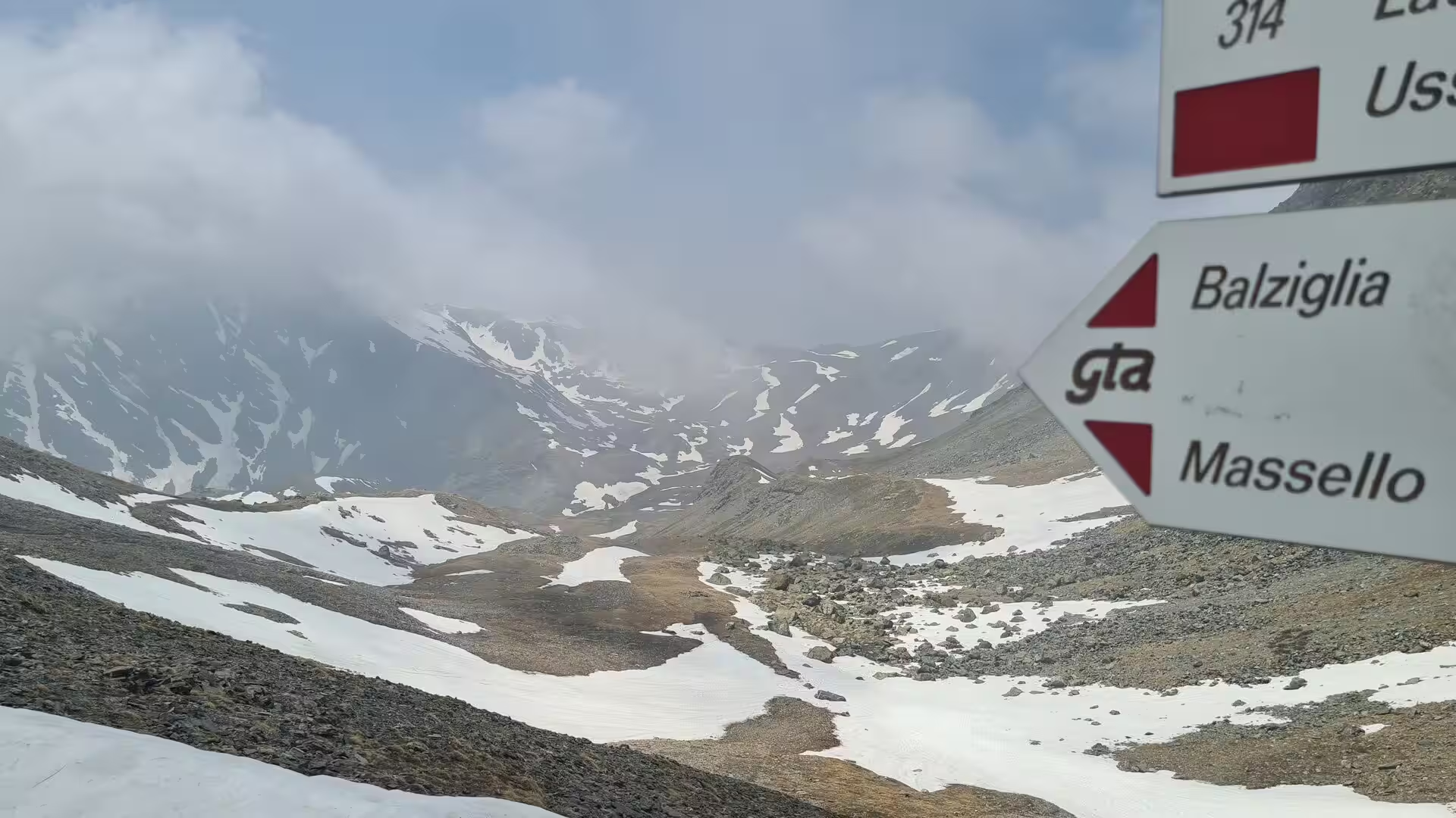
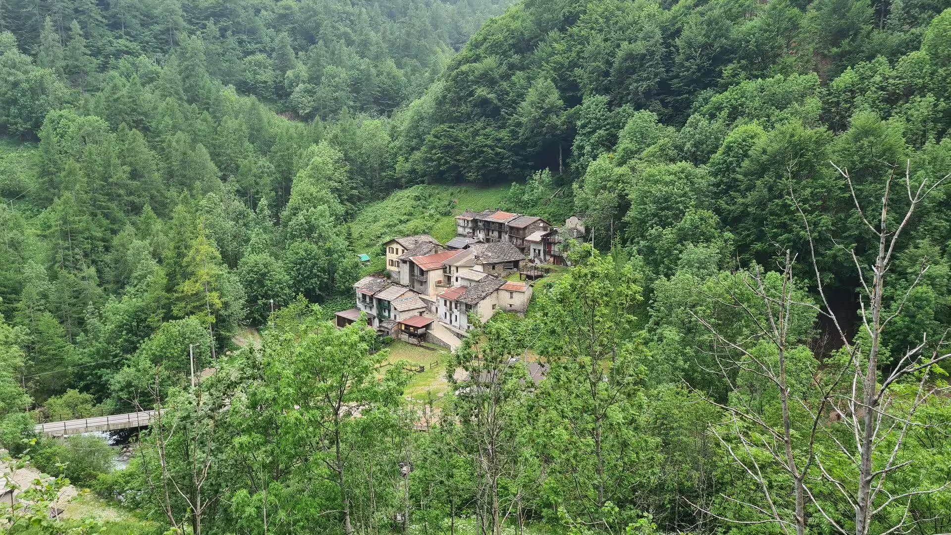
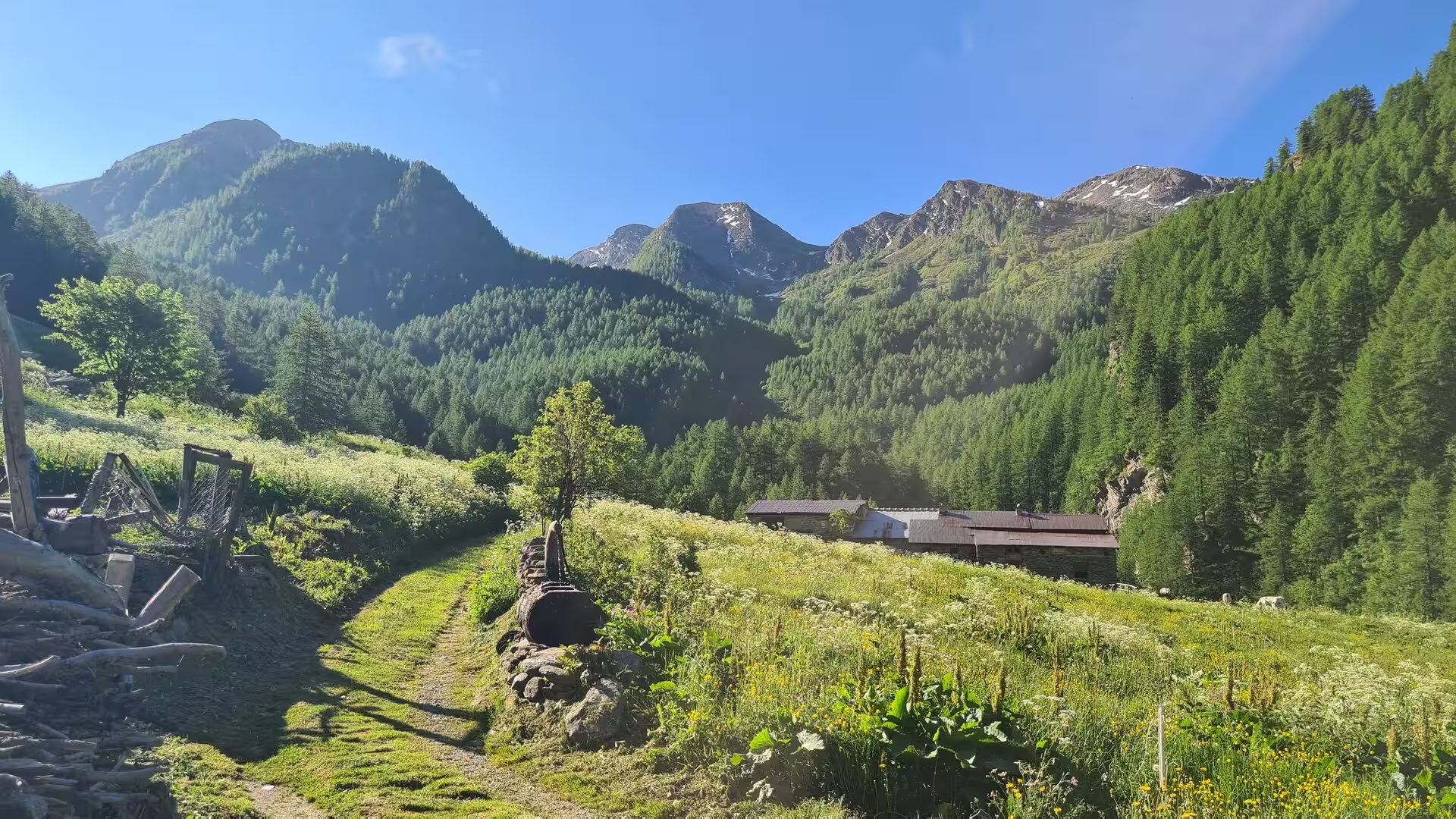
Above Ghigo the side valley of Massello opens towards the south-west. The comune of Massello, with fewer than a hundred permanent inhabitants, is one of the smallest in Piedmont; its stone hamlets cling to the sunny slopes of the Vallone, surrounded by meadows and larch woods, and the old GTA route climbs through them towards the head of the valley. At Balziglia, a settlement of weathered stone houses at 1,370 metres above the valley floor, the red-and-white waymarkers point the way on towards the high passes, and a GTA posto tappa offers the overnight hospitality on which the route is built; the alpine museum of the valley and the information panels at the trailhead explain the history of this upland farming world.
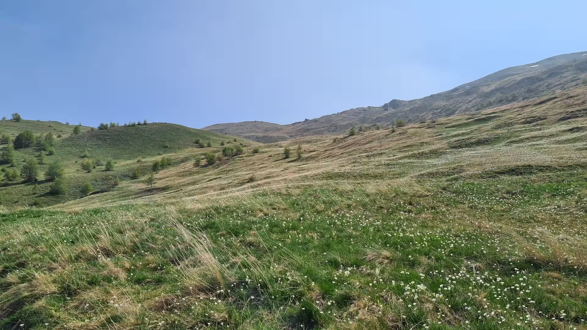
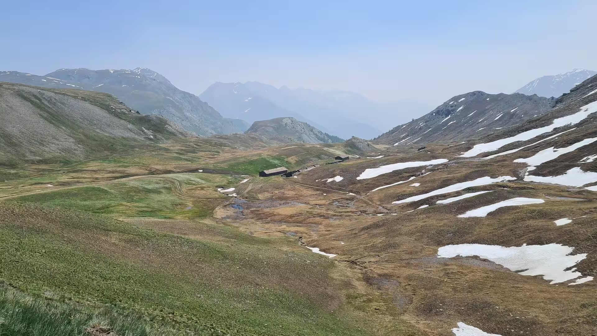
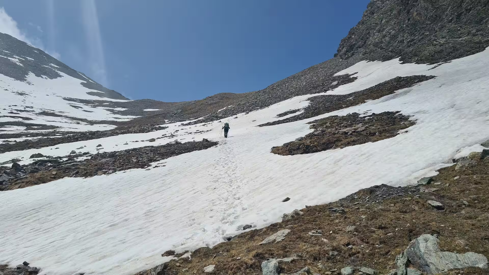
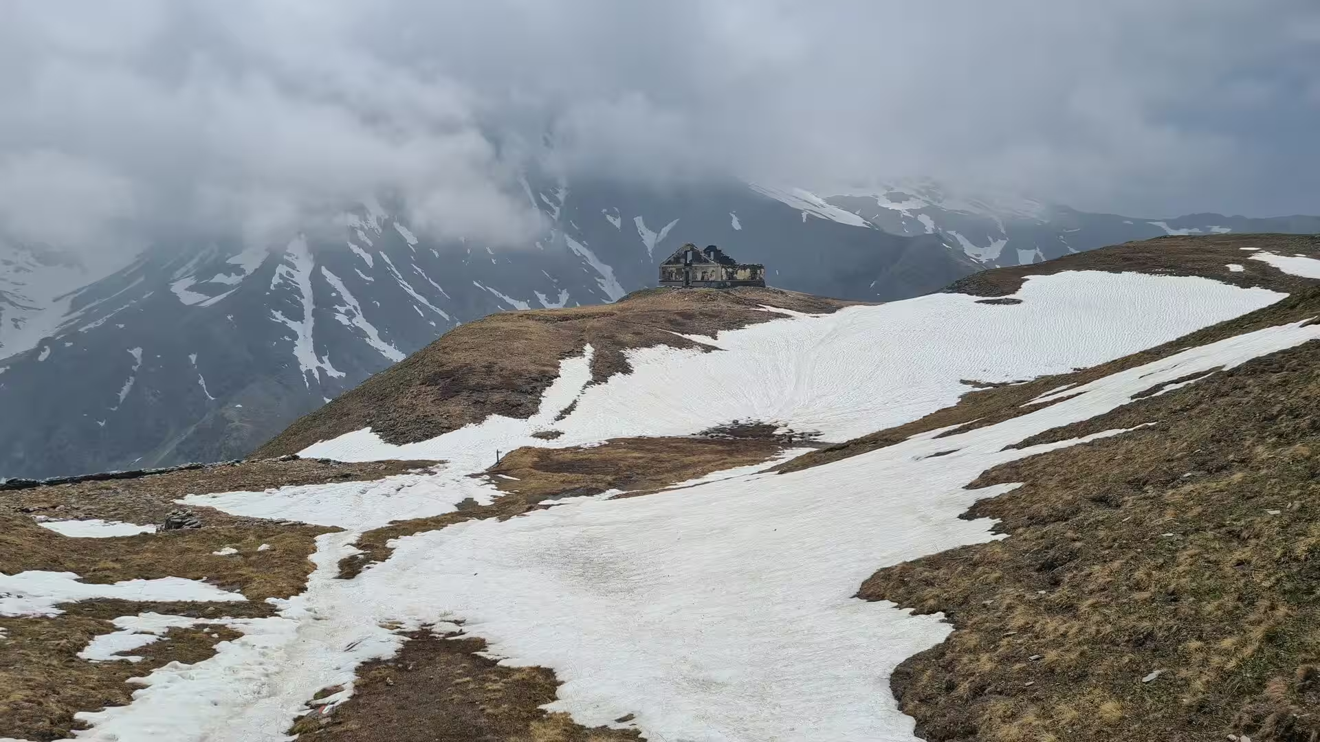
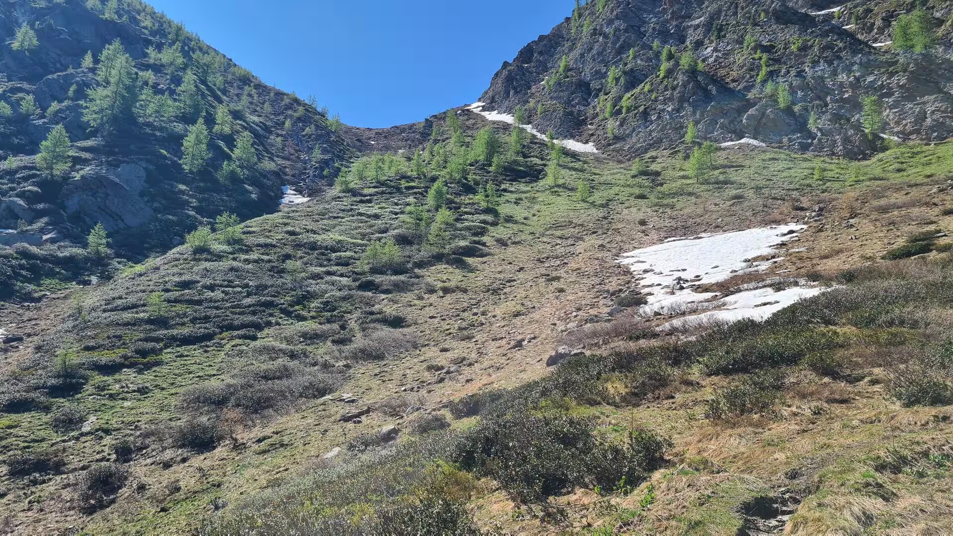
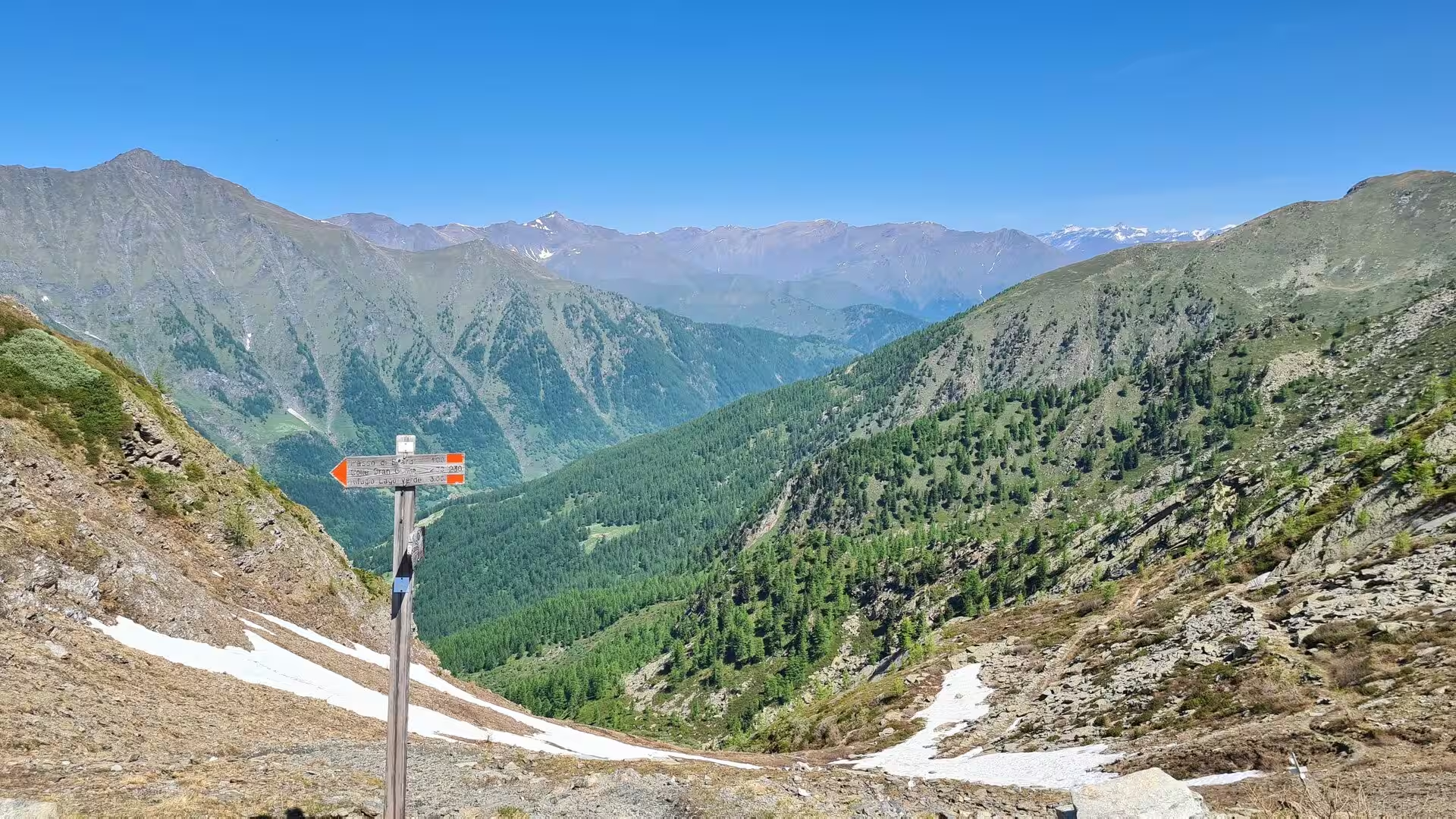
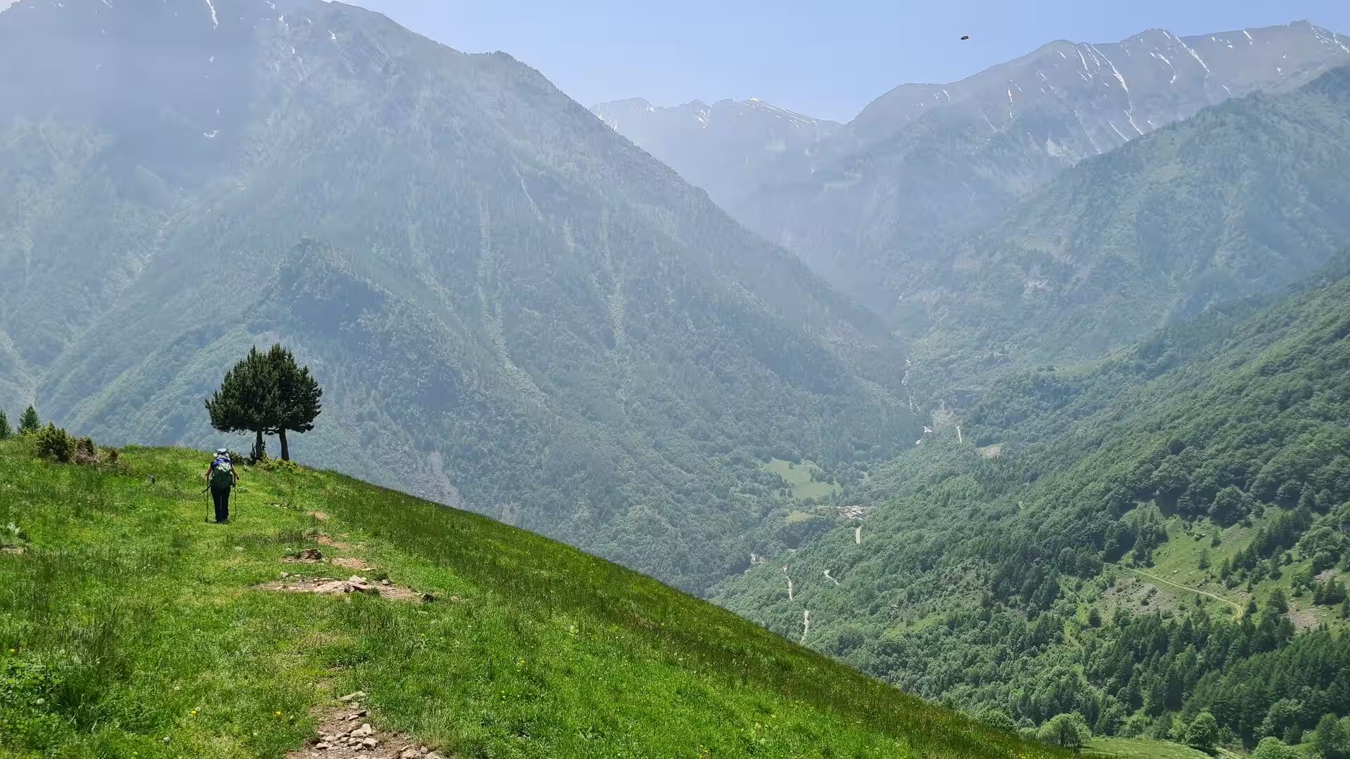
The route then leaves the Germanasca for the Pellice side over the Colle Giulian, a grassy pass of about 2,450 metres that forms the watershed between the two valleys. In early summer the upper slopes are still crossed by snowfields, and the pass rewards the walker with wide views over the surrounding Cottian summits: Gran Queyron and Bric Ghinivert rise above the Germanasca, while to the west the crests of the Queyras close the horizon on French soil. The descent leads into the Val Pellice, past the small lakes and springs of the upper basin and down through larch forest to the first settlements of the Pellice valley.
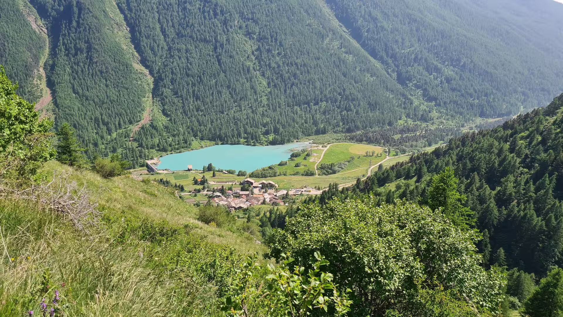
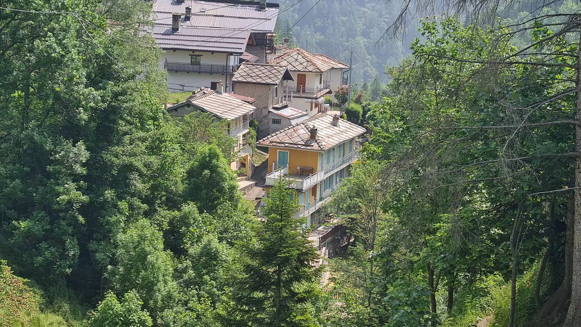
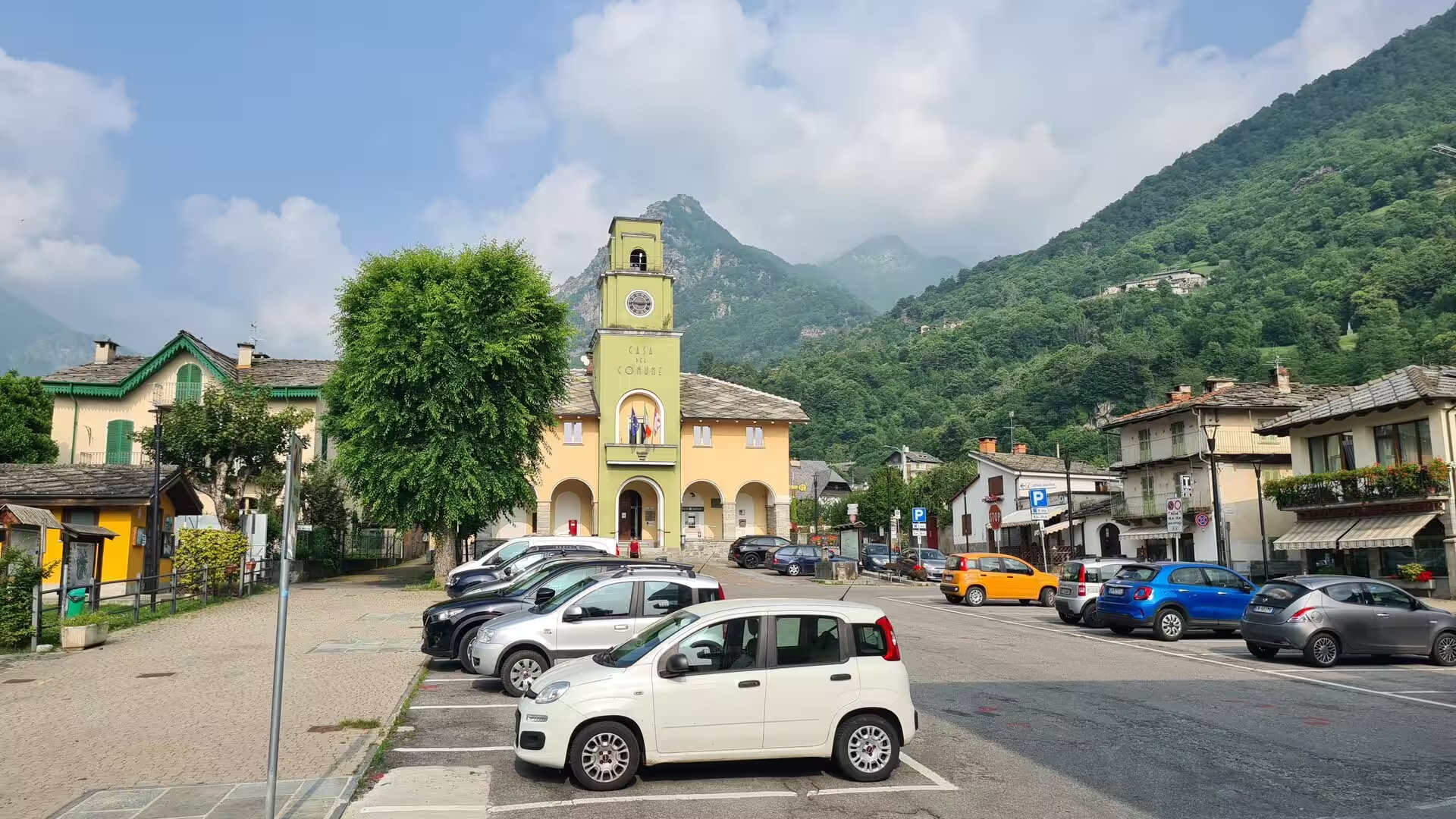
Villanova, a frazione of Bobbio Pellice, is the first village on the Pellice side. Its stone houses and the yellow villa with balconies that gives the hamlet its character stand among chestnut and conifer woods above the river, and the valley floor opens here into meadows and pastures that carry the road onward to Bobbio Pellice. The village square of Bobbio Pellice, at 732 metres the last settlement of the valley, is dominated by the town hall with its clock tower; the Waldensian temple rises beside it, and at the frazione of Podio, on a grassy terrace ringed by old chestnut trees, stands the Stele di Sibaud, the monument raised to the memory of the Glorious Return of 1689, when the Waldensian exiles marched back from Geneva and swore mutual fidelity at this spot. The alpine botanical garden Bruno Peyronel, planted with the flora of the western Alps, lies at the edge of the village.
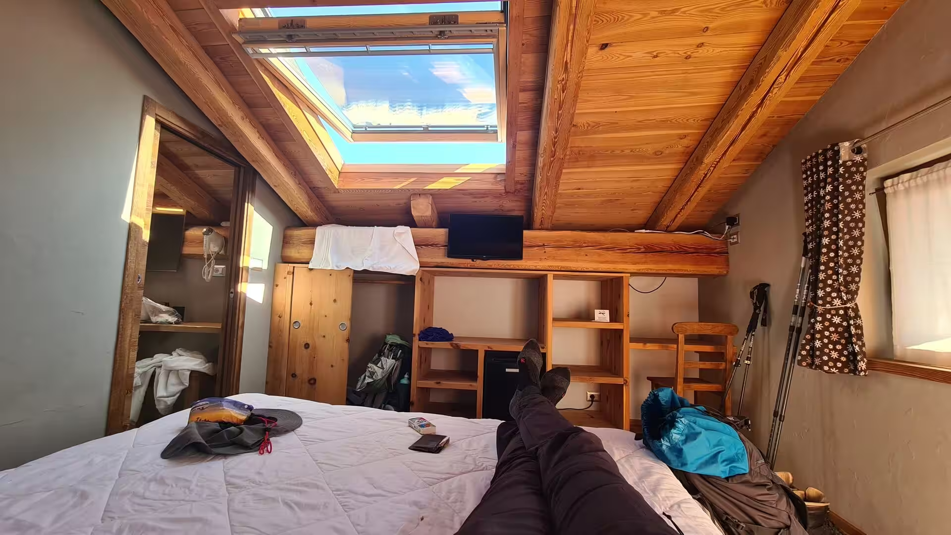
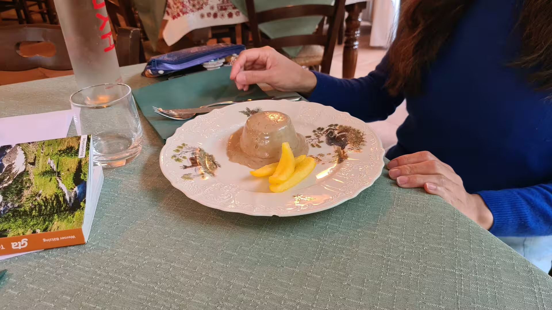
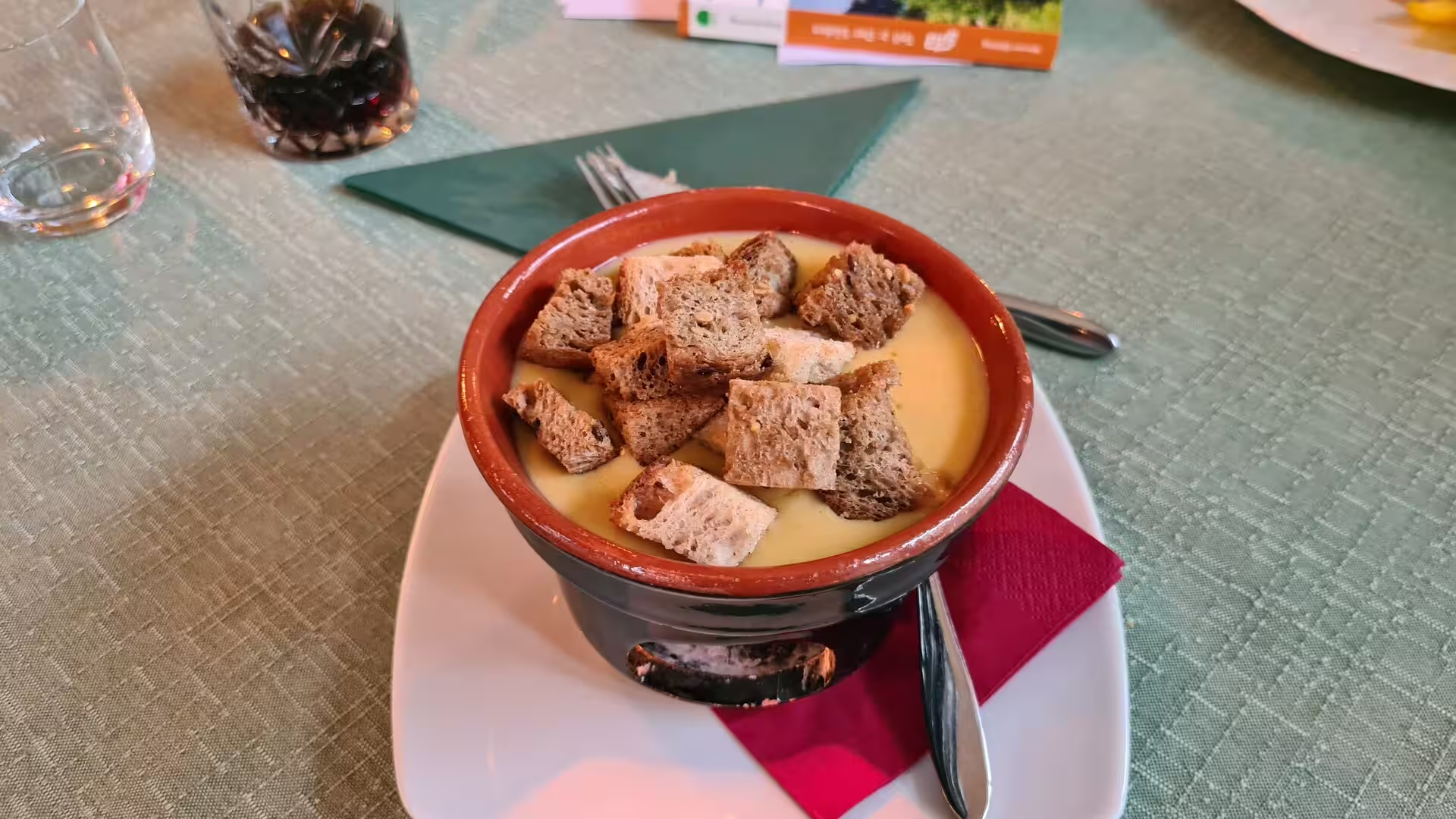
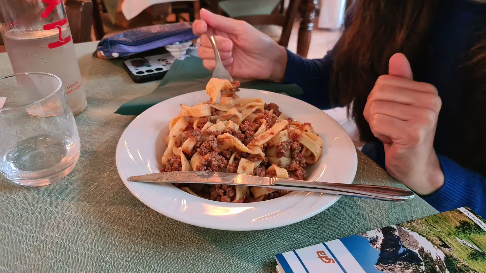
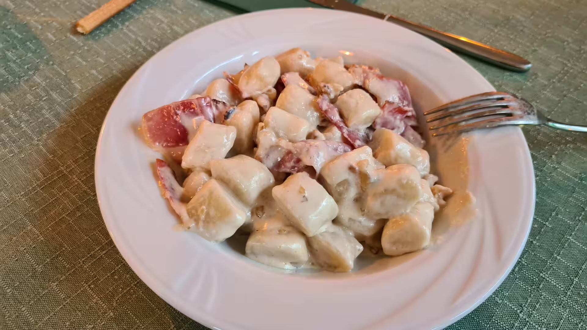
Along the whole of this section the hospitality of the route is one of its attractions. The rifugi and posti tappa of the GTA offer simple rooms and half board in the traditional manner of the valleys, and their kitchens serve the hearty cooking of the region: thick soups, fresh pasta, gnocchi in cheese sauce and desserts made from local fruit, eaten in wood-panelled dining rooms that fill with walkers in the evening. The nights are spent in the quiet of the high valley, and the mornings begin with the trail climbing out of the shadow of the peaks.
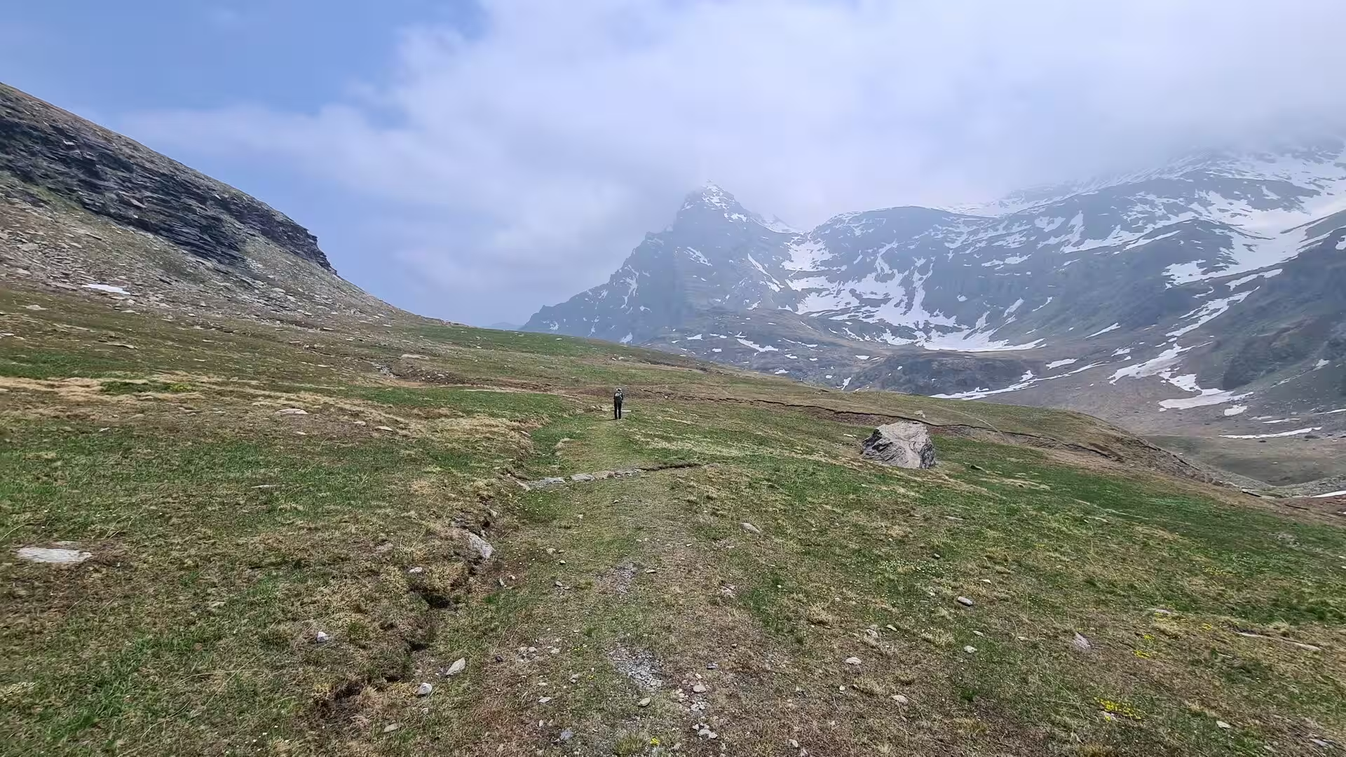
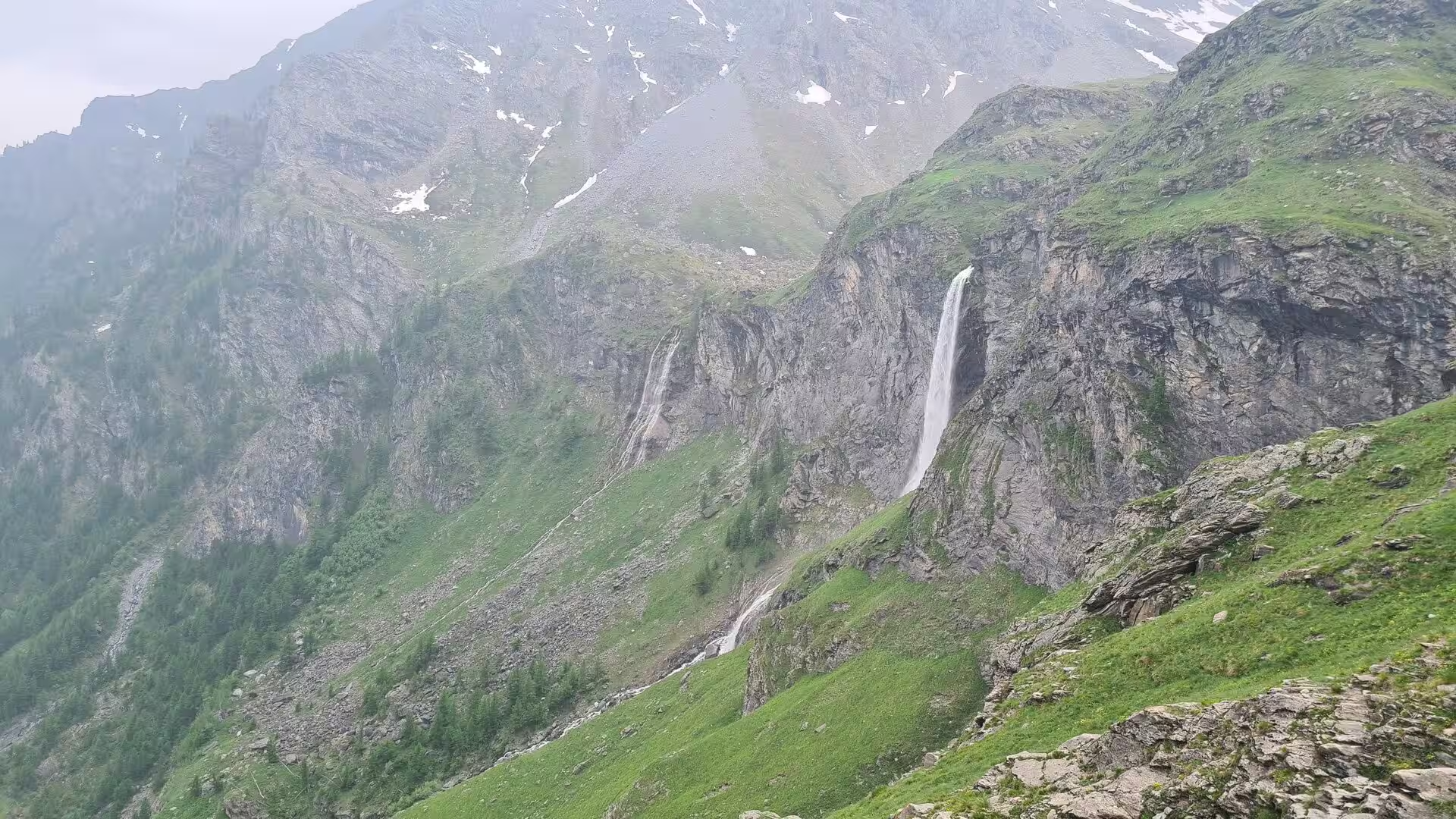
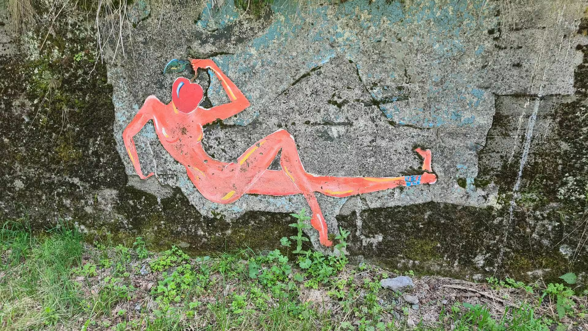
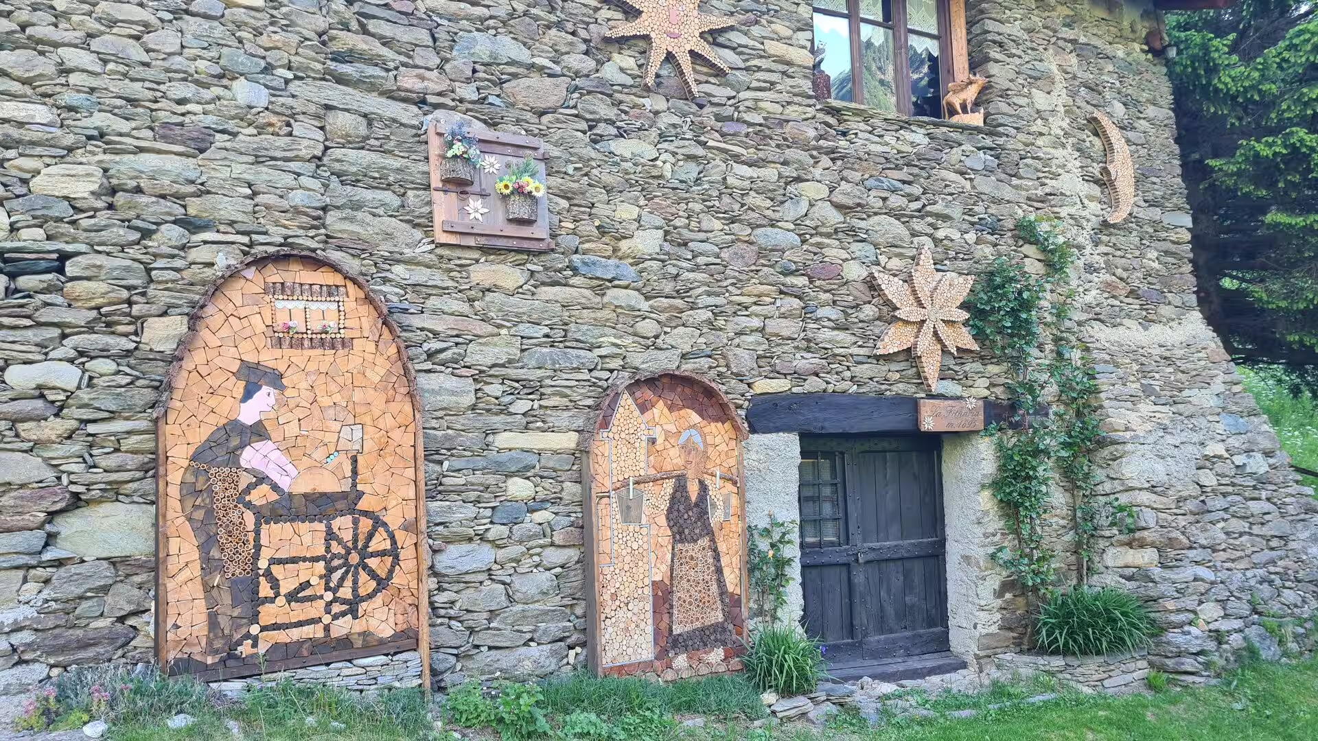
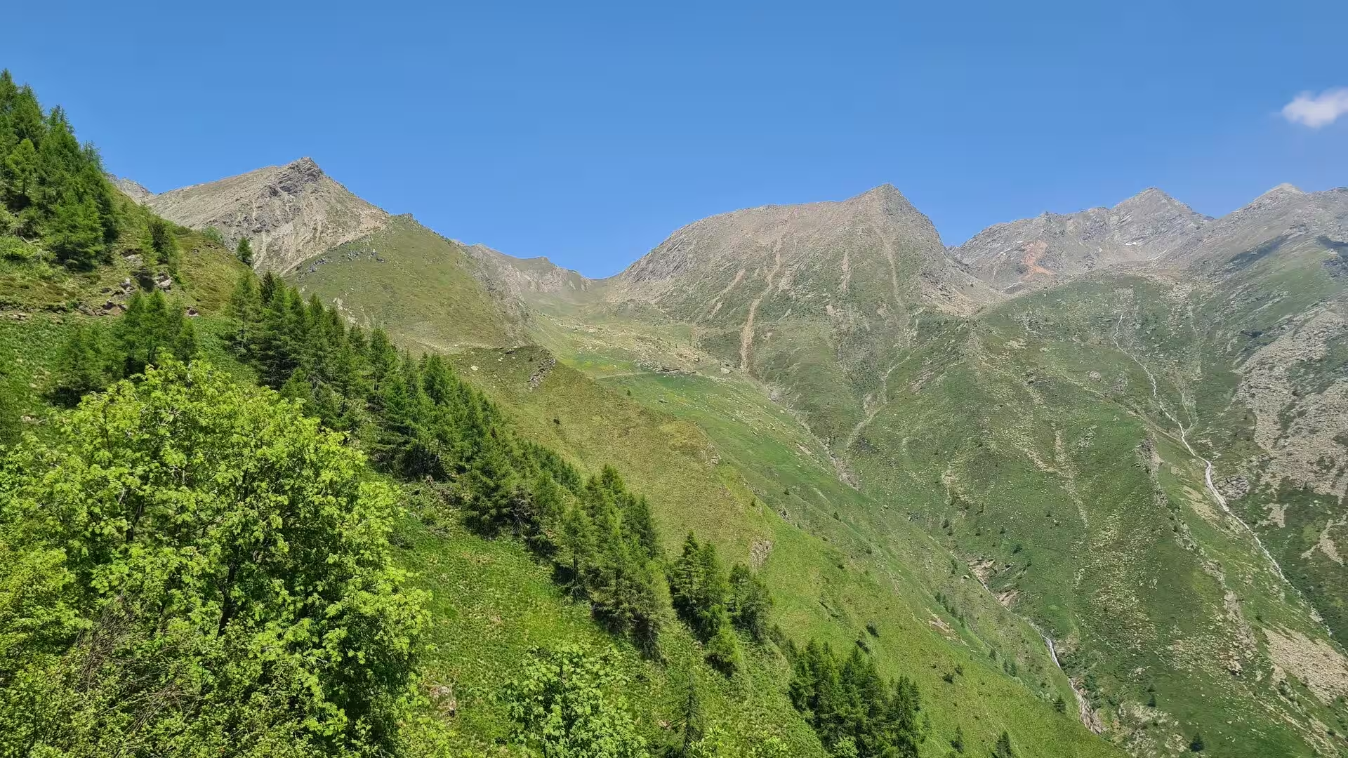
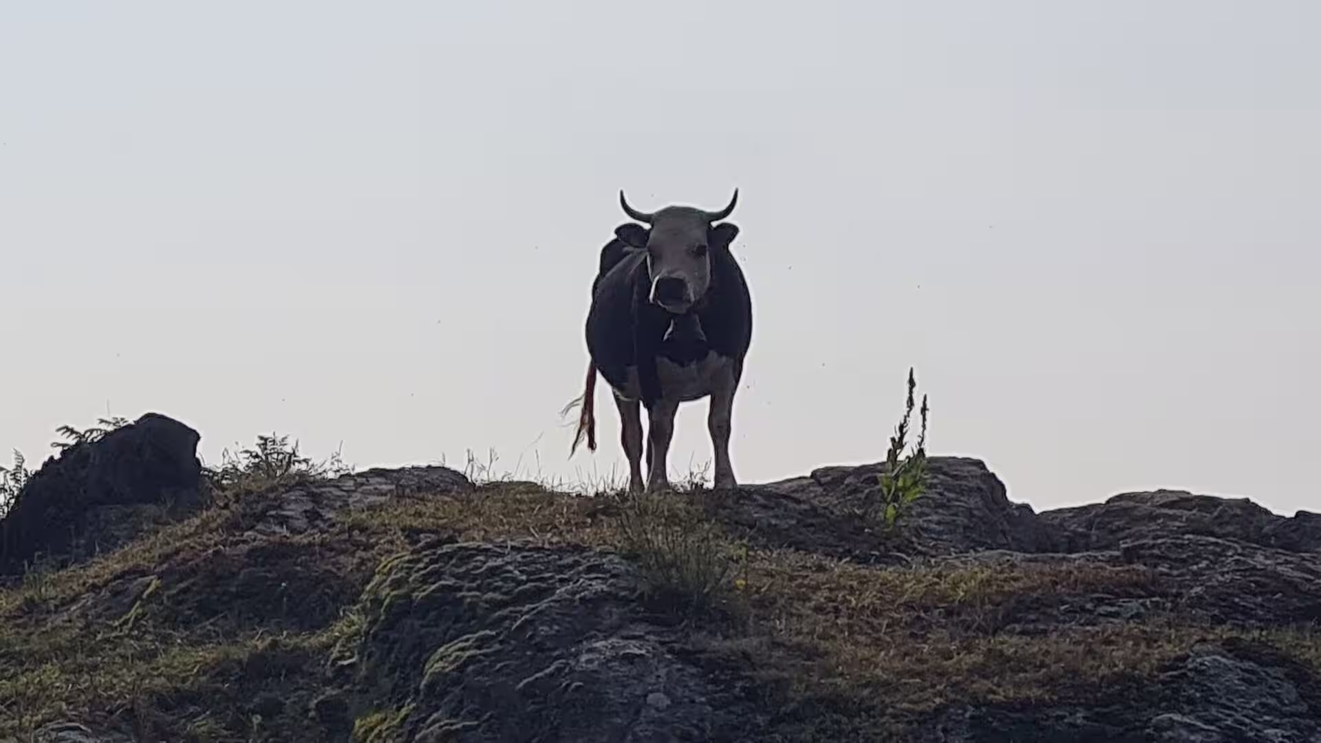
The natural spectacle of the section lies in its water and its pastures. Tall waterfalls pour down the sheer rock faces of the valley sides after the snowmelt, the meadows are bright with wild flowers in June, and cattle graze the upper ridges through the short alpine summer. The lower trails, too, carry the marks of the valley’s living culture: painted boulders and folk-art mosaics on the old farmhouses enliven the paths between the villages, reminders that this is a country shaped not by wilderness alone but by generations of mountain farming.
References
- Bätzing, W. (2003/2005). Grande Traversata delle Alpi: Teil 2, Der Süden (2003); Teil 1, Der Norden (2005). Zürich: Rotpunktverlag.
- Price, G. (2005). Through the Italian Alps: Grande Traversata delle Alpi (GTA). Milnthorpe: Cicerone Press.
- Vogt, L. (2008). Regionalentwicklung peripherer Räume mit Tourismus? Erlangen: Fränkische Geographische Gesellschaft.
- Touring Club Italiano (2026). Bobbio Pellice: destinazioni. www.touringclub.it/destinazioni/bobbio-pellice
- Italia.it (2024). The Great Alpine Crossing: an itinerary through central Piedmont. www.italia.it/en/piedmont/things-to-do/itinerary-great-alpine-crossing
- Wikipedia contributors (2026). Grande Traversata delle Alpi (English). en.wikipedia.org/wiki/Grande_Traversata_delle_Alpi
- Wikipedia contributors (2026). Grande Traversata delle Alpi (Italian). it.wikipedia.org/wiki/Grande_Traversata_delle_Alpi
- Wikipedia contributors (2026). Cottian Alps (English). en.wikipedia.org/wiki/Cottian_Alps
- Wikipedia contributors (2026). Alpi Cozie (Italian). it.wikipedia.org/wiki/Alpi_Cozie
- Wikipedia contributors (2026). Val Germanasca (Italian). it.wikipedia.org/wiki/Val_Germanasca
- Wikipedia contributors (2026). Prali (Italian). it.wikipedia.org/wiki/Prali
- Wikipedia contributors (2026). Valli valdesi (Italian). it.wikipedia.org/wiki/Valli_valdesi
- Wikipedia contributors (2026). Bobbio Pellice (English). en.wikipedia.org/wiki/Bobbio_Pellice
- Wikipedia contributors (2026). Monviso (English). en.wikipedia.org/wiki/Monviso
- Wikipedia contributors (2026). Werner Bätzing (German). de.wikipedia.org/wiki/Werner_B%C3%A4tzing