Italy - Motorbike Aosta · 2025
2025 Italy - Motorbike Aosta Valley

Journal Notes
General
The Aosta Valley (Valle d’Aosta, in French Vallée d’Aoste) is the smallest region of Italy: a mountainous territory of 3,261 square kilometres in the far north-west of the country, with about 123,000 inhabitants and no provinces, governed directly by the regional administration from its capital Aosta. It is bordered by France to the west, by the Swiss canton of Valais to the north, and by Piedmont to the south and east, and it is the only Italian region that borders two foreign countries. Together with its side valleys it includes the Italian slopes of four of the great Alpine massifs, Mont Blanc, Monte Rosa, the Gran Paradiso and the Matterhorn, which makes it the highest region of Italy.
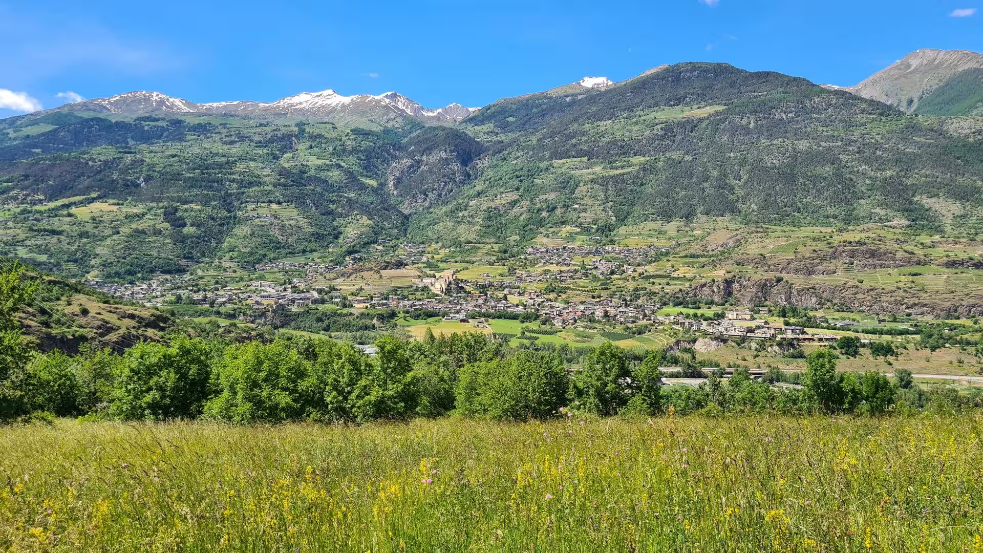
The territory is organised around a single main valley, carved by the river Dora Baltea, which runs from the massifs of the western border down towards the plain of Ivrea, where it joins the Po. From this trunk valley the side valleys branch off in every direction, climbing towards the great peaks: the Valpelline and the valleys of the Grand-Saint-Bernard road to the north, the Valtournenche below the Matterhorn and the Val d’Ayas below the Monte Rosa to the east, the Valgrisenche and the Val di Rhêmes towards the Gran Paradiso to the south, and the Val Ferret and the Val Veny at the foot of Mont Blanc to the west. The valley floor lies at about 500 to 600 metres, while the surrounding summits rise above 4,000; the difference in altitude within one municipality can exceed 3,500 metres.
The climate is alpine: the valley bottom has cold winters and mild summers, while above about 1,600 metres a long snow season lasts eight to nine months in the highest basins. The region is officially bilingual, with Italian and French as equal languages and the local Franco-Provençal dialect, the Valdôtain, recognised as a third; road signs and place names appear in both languages. Its 74 municipalities are among the smallest and highest of the Alps, and much of the population lives in the main valley between Pont-Saint-Martin and Courmayeur.
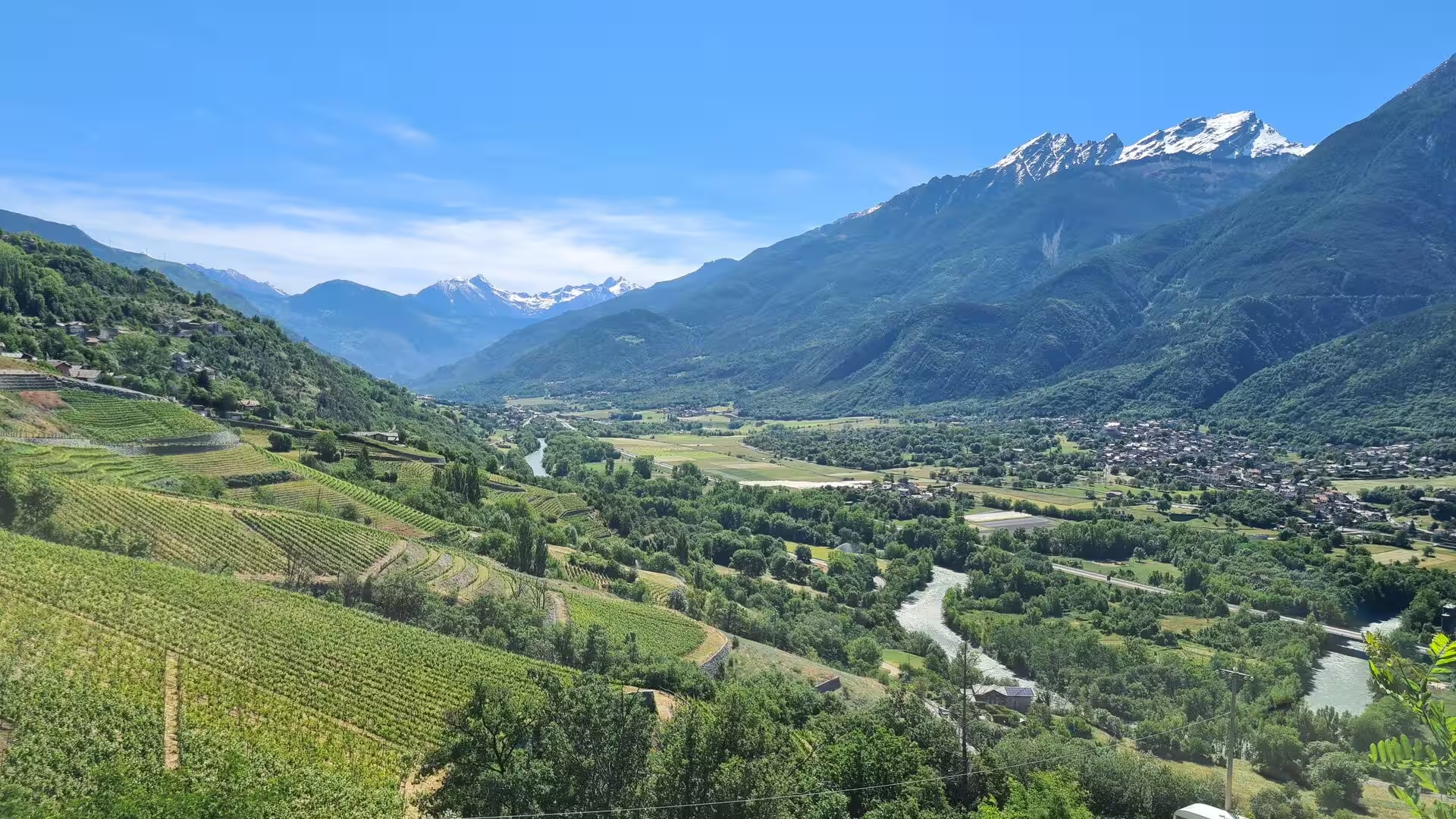
The economy rests on tourism, in summer and winter alike, and on a distinctive agriculture: Fontina, the alpine cheese of the region, has held protected designation of origin status since 1996, and the terraced vineyards of the valley produce wines under the Valle d’Aosta DOC, from the white wines of Morgex, the highest vineyards of the denomination, to the red Enfer d’Arvier of the middle valley. The great traffic routes of the western Alps cross the region: the Mont Blanc tunnel to France, the Grand-Saint-Bernard tunnel to Switzerland, and the two historic pass roads over the Great and Little St Bernard.
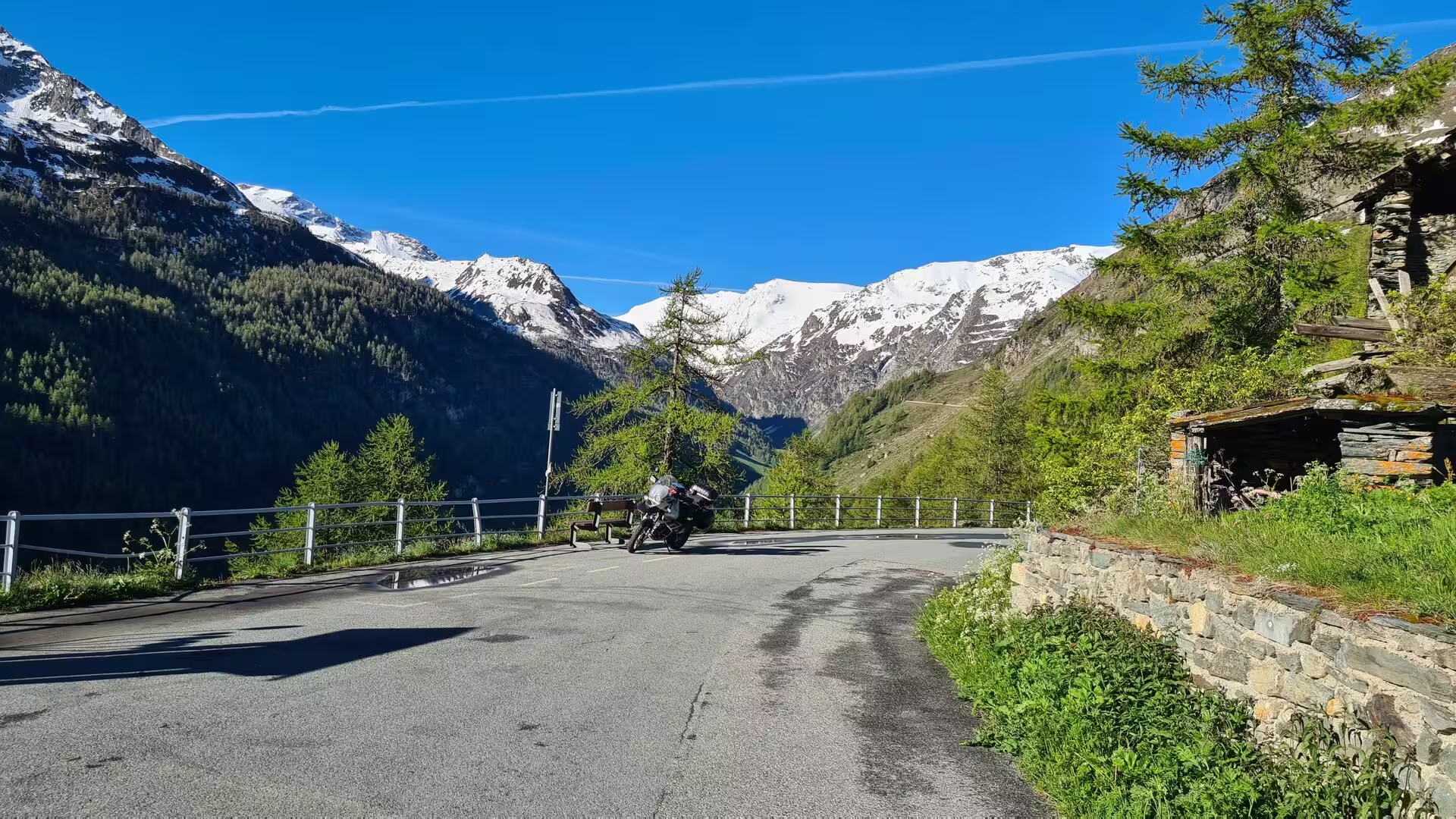
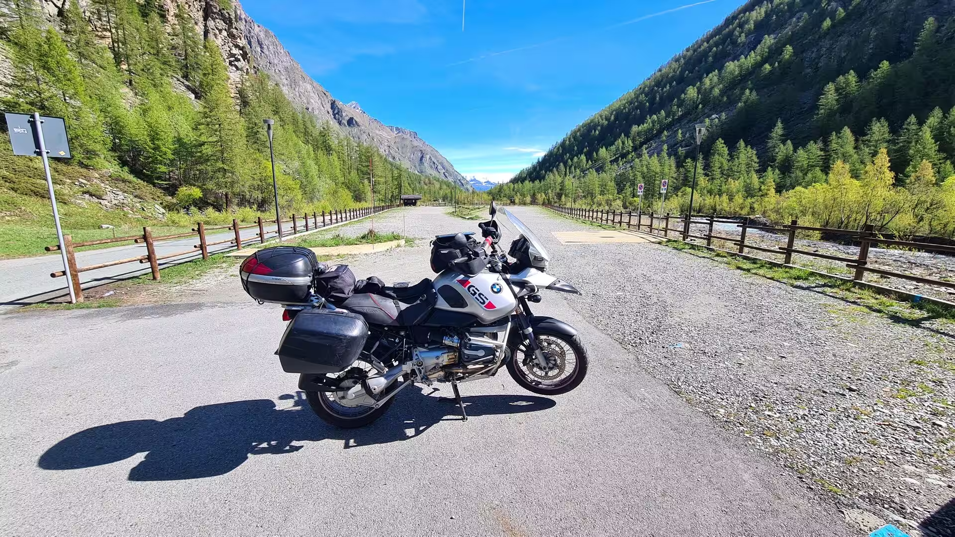
Few regions of the Alps are as well suited to touring by motorcycle. The main valley road and its branches over the passes link a string of medieval towns and castles, the side valleys climb in long, well-surfaced curves to high meadows and mountain lakes, and in late May, when the season begins, the higher passes are still lined with snow while the valley floor is already green and in flower.
History
The valley was settled in antiquity by the Salassi, a Celtic people who controlled the two great pass routes over the Alps, the Alpis Graia over the Little St Bernard and the Alpis Poenina over the Great St Bernard, and who worked the gold of the region. Rome conquered the valley around 25 BC and founded Augusta Praetoria Salassorum, the present Aosta, as a colony for 3,000 veterans, to secure the passes; the Romans built the roads that still determine the alignment of the modern highways, together with bridges and the monumental remains that survive in the centre of Aosta to this day.
The city of Aosta preserves an exceptional Roman ensemble. The Arch of Augustus was raised at the eastern gate of the colony in 25 BC to commemorate the victory over the Salassi; the Roman theatre, whose southern facade still stands 22 metres high, occupied an entire city block; and the walls of the rectangular colony, laid out in the form of a Roman castrum with its grid of streets, survive with their towers and gates. The cryptoporticus, a vast covered gallery that supported the forum terrace, is still partly visible beneath the centre of the modern city, and the medieval tower houses of the town grew up among the Roman ruins.
In the Middle Ages the valley passed to the House of Savoy. Humbert I, the founder of the dynasty, received the title of Count of Aosta from the Emperor Conrad II in 1031 or 1032 and raised a fortification at Bard, in the gorge where the Dora Baltea breaks through the mountains; a few years later, in 1033 or 1034, Anselm of Canterbury, one of the great theologians of the medieval church, was born in Aosta. From the twelfth century onward the valley was divided among a dense network of fortified castles, built by the Savoyard counts and by local lords on the rocky spurs above the valley floor; more than a hundred towers and castles are recorded, among the best preserved of which are Fénis, Verrès and Issogne in the middle valley.
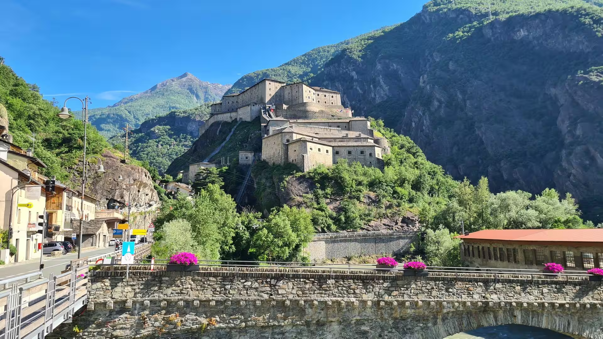
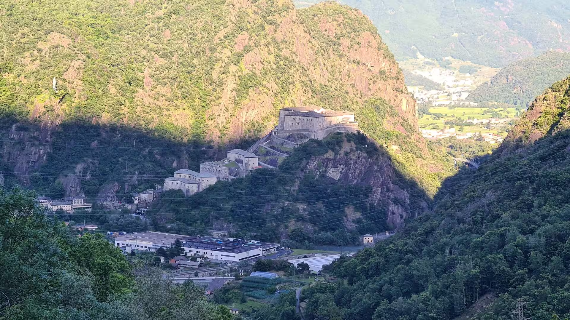
The modern history of the valley is shaped by its position on the border. In 1800 the French army of Napoleon was stopped for two weeks at Bard by the Austrian defenders of the improvised fortress, an episode that delayed the French advance into Italy; the old fort was destroyed in the fighting, and the present Forte di Bard, a massive bastioned fortress, was built on the same rock between 1830 and 1838 by the Kingdom of Sardinia. In the twentieth century the valley became the first region of Italy to abolish its provincial subdivision, in 1945, and received its special statute of autonomy in 1948, which guarantees the bilingual character of the region, its schools and its cultural institutions.
The history of the passes belongs to this border world as well. The Great St Bernard route was used by armies, pilgrims and merchants for millennia, and from the eleventh century the hospice on the pass gave shelter to travellers; the monks bred their famous dogs, whose use in rescue is documented from the seventeenth century. The valley’s identity, expressed in the Valdôtain dialect, in the mountain songs and in the festivals of the alpine summer, grew out of this long coexistence of Roman, Savoyard, French and Swiss influences.
Geology
The Aosta Valley lies at the heart of the western Alps, the young fold mountain chain raised by the collision of the African and European plates in the course of the Alpine orogeny. The region spans the junction of the main structural zones of the chain: the Pennine zone of the internal Alps, with its highly deformed metamorphic rocks, and the Austroalpine units to the south-east, which include the crystalline core of the Gran Paradiso. The result is one of the most intensively studied mountain transects of Europe, where the deep structure of a continental collision is exposed in the walls of the valley.
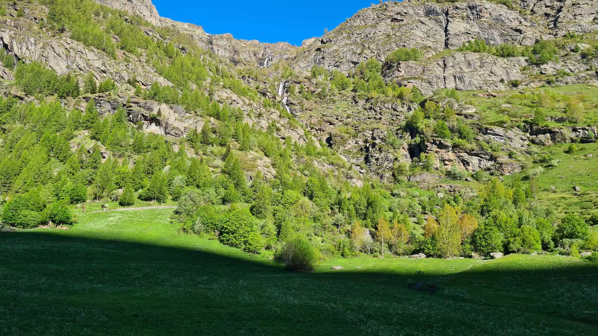
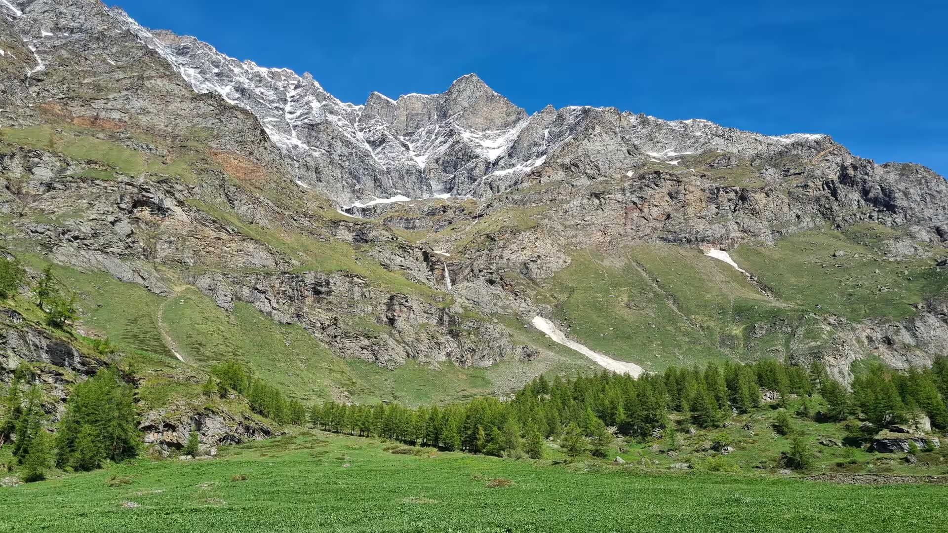
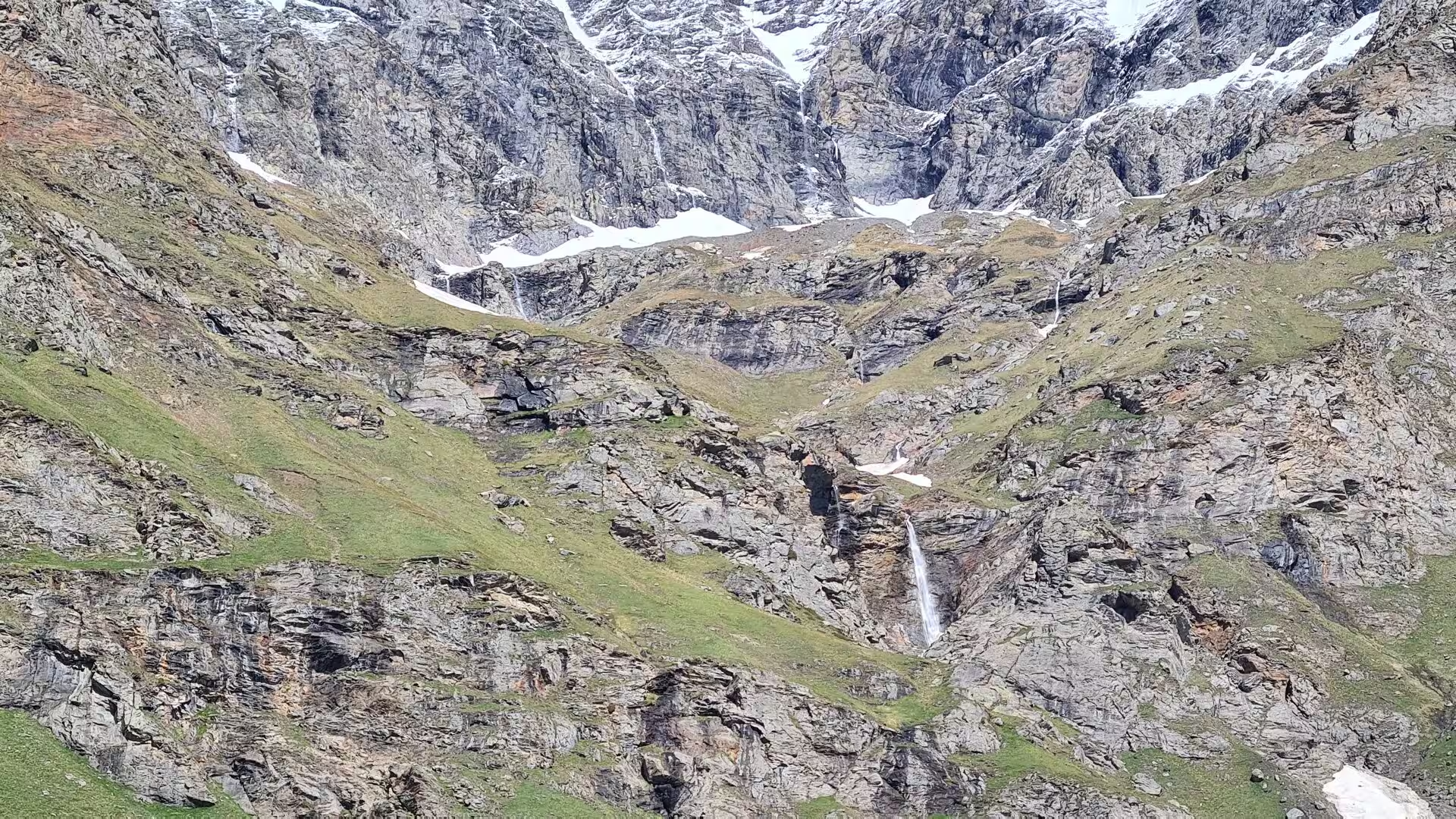
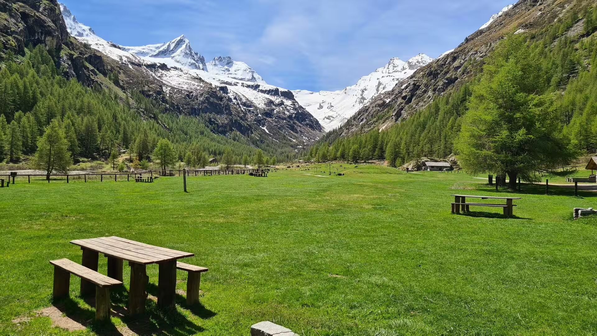
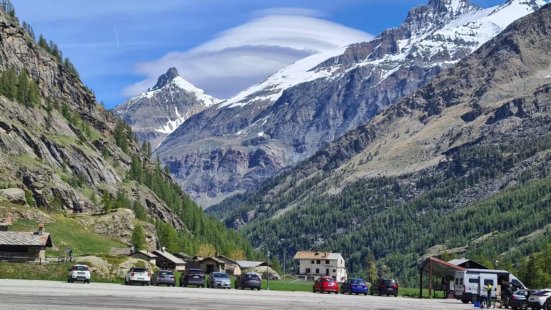
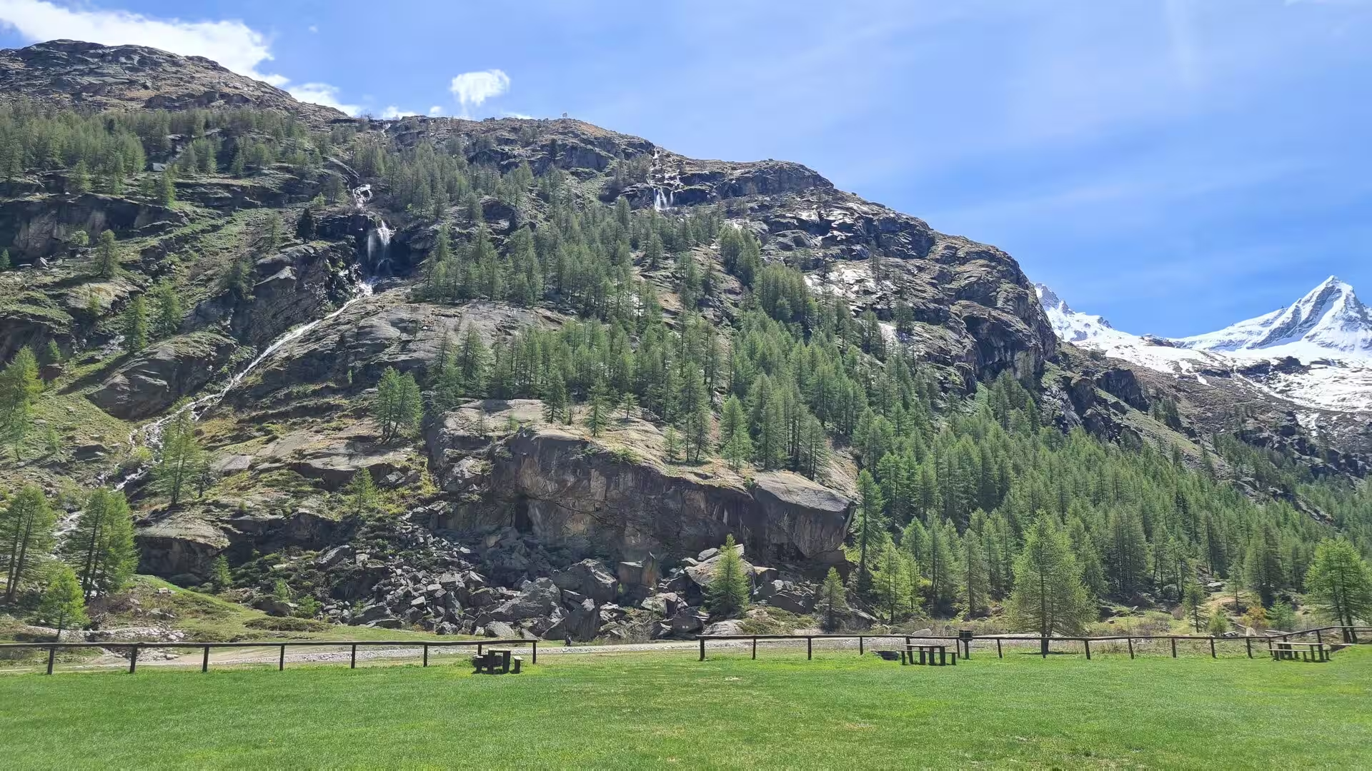
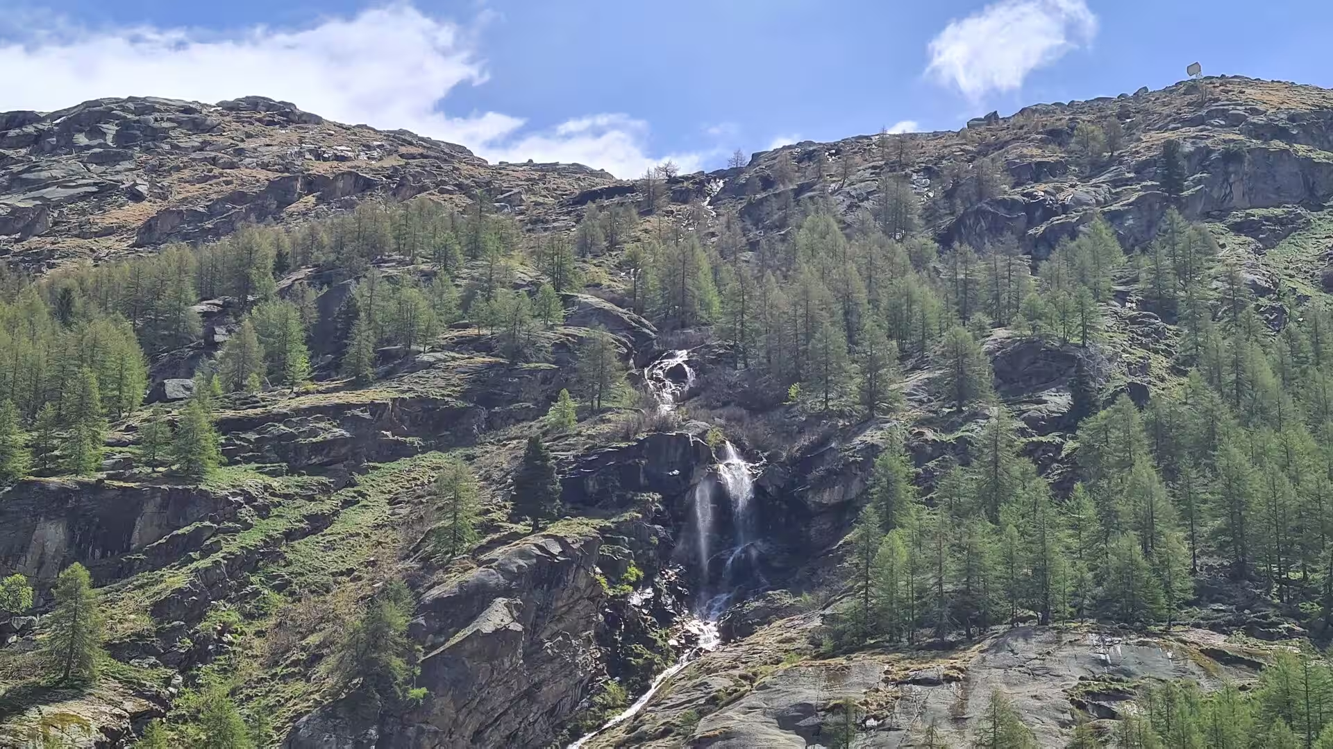
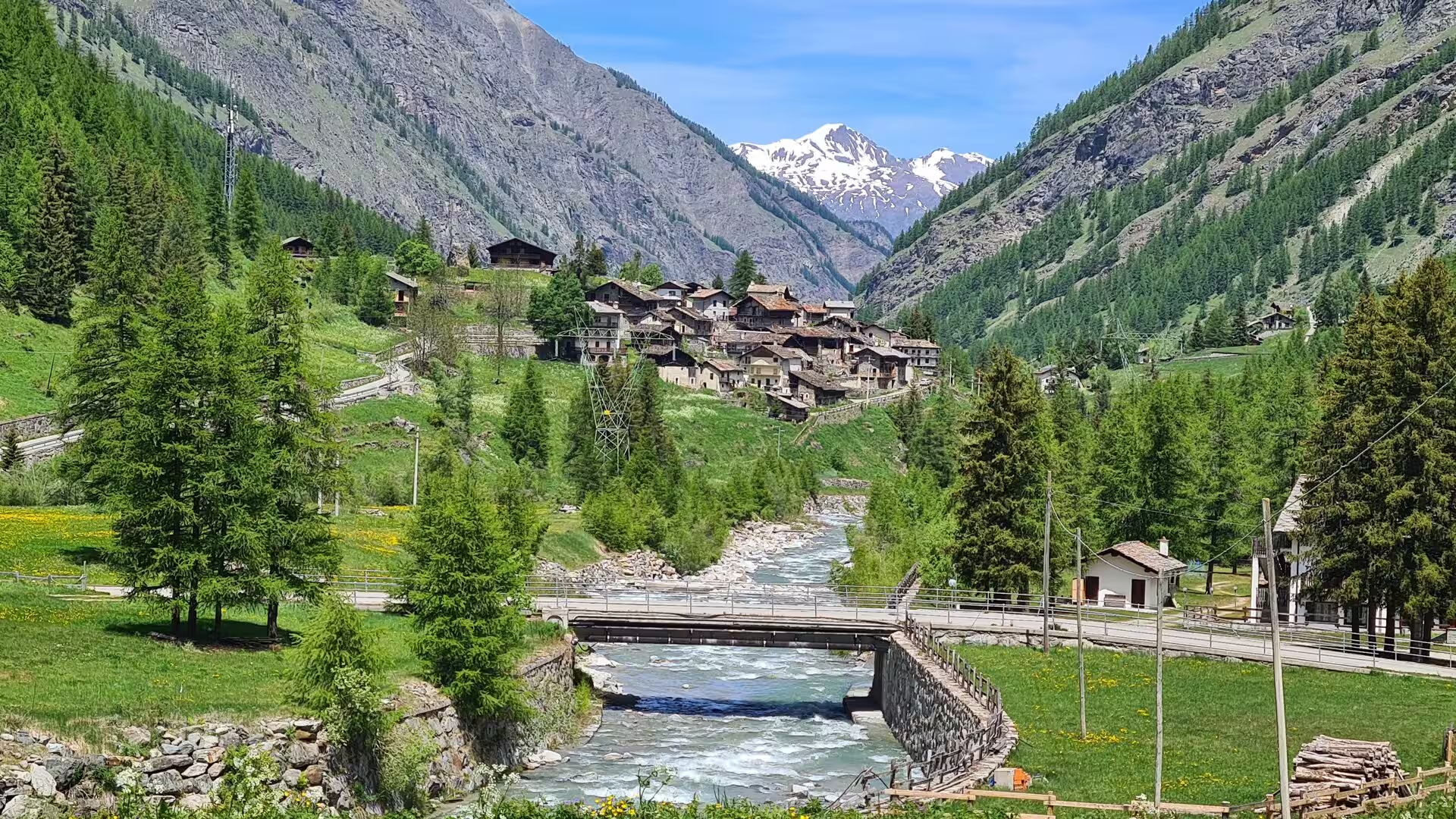
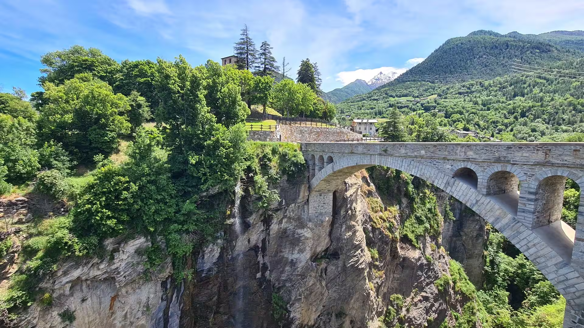
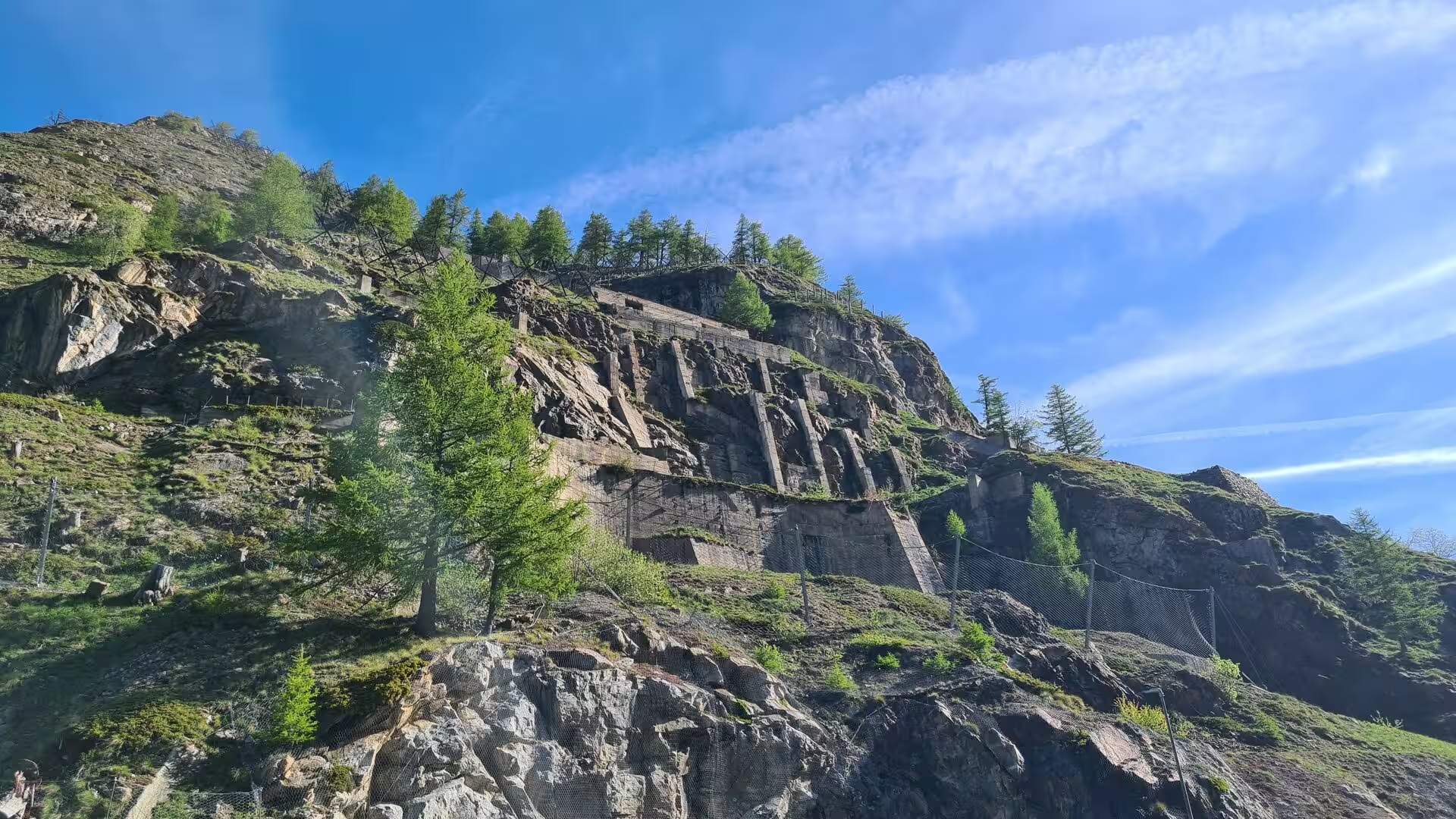
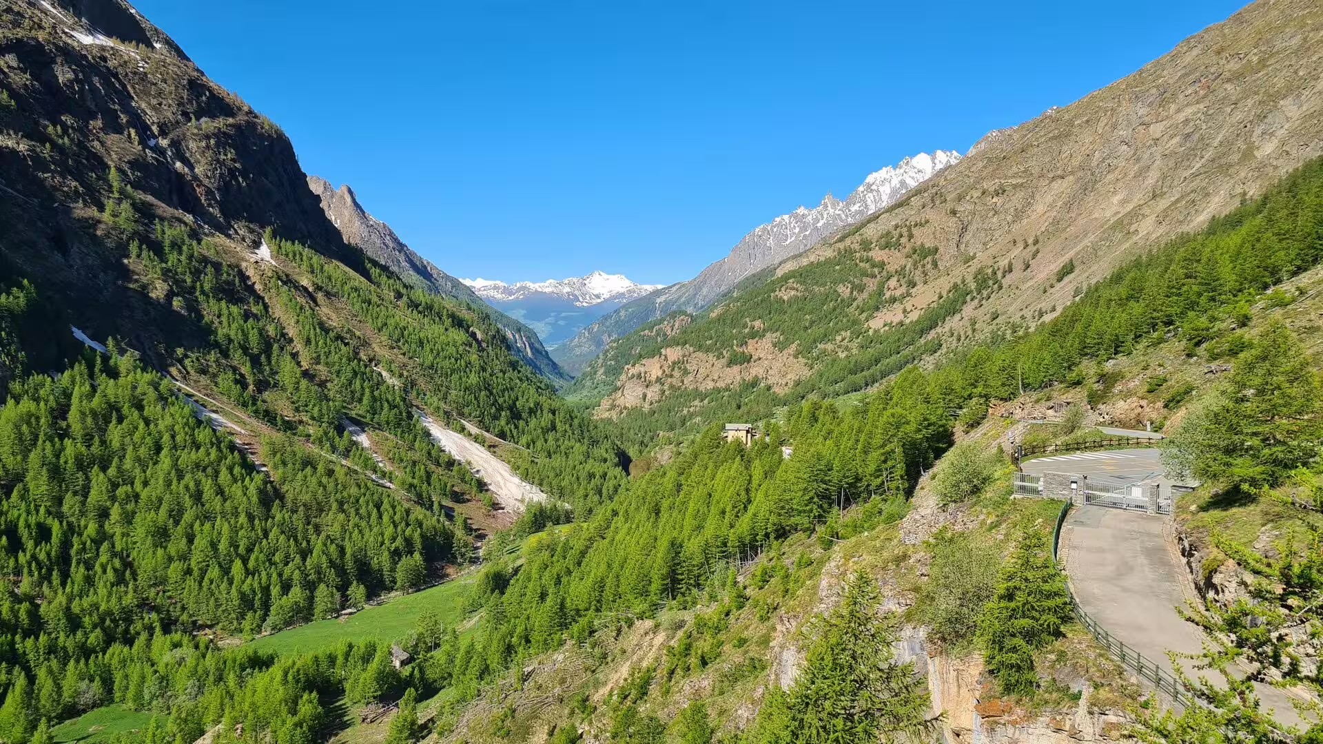
The dominant feature of the landscape is the trough of the Dora Baltea itself, a glacial valley more than a kilometre deep that was carved by the great valley glacier of the Pleistocene and its tributaries. The typical forms of an alpine landscape shaped by ice are everywhere: U-shaped valley cross-sections, hanging side valleys whose streams enter the main valley in waterfalls, cirques below the peaks, and moraines that dam the high lakes. In the side valleys the road climbs through these glacial steps, past rock walls still streaked with snow in early summer, to the wide, flat basins where the glaciers once spread out.
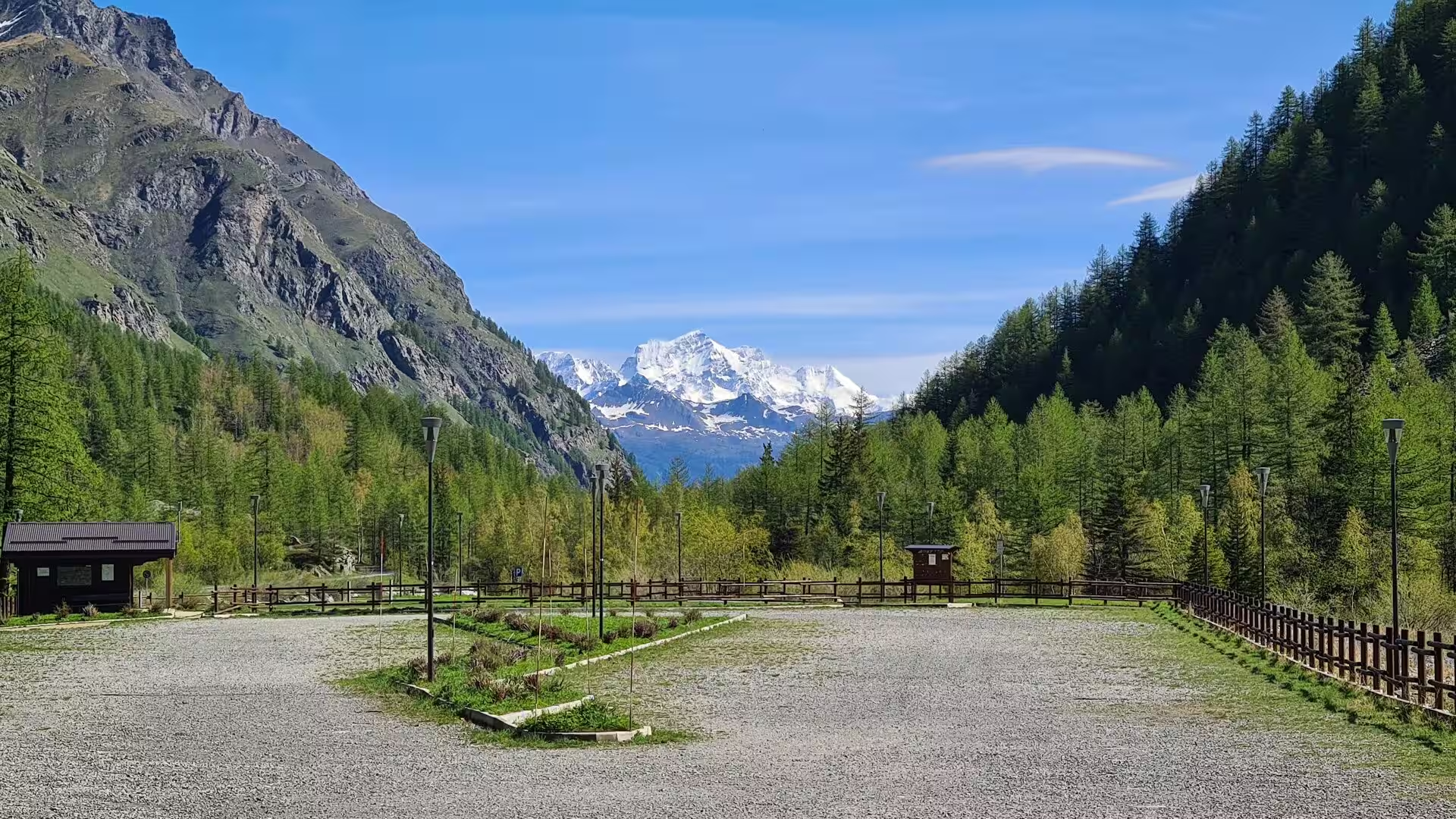
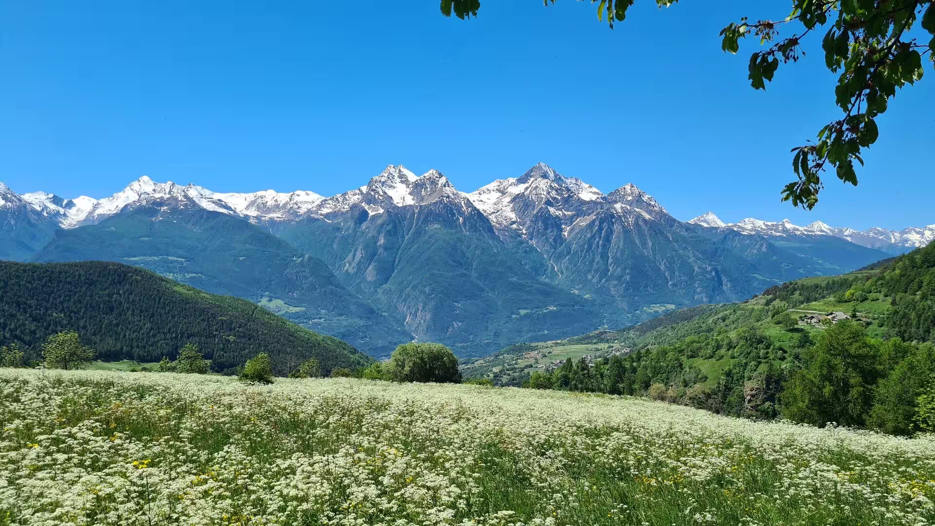
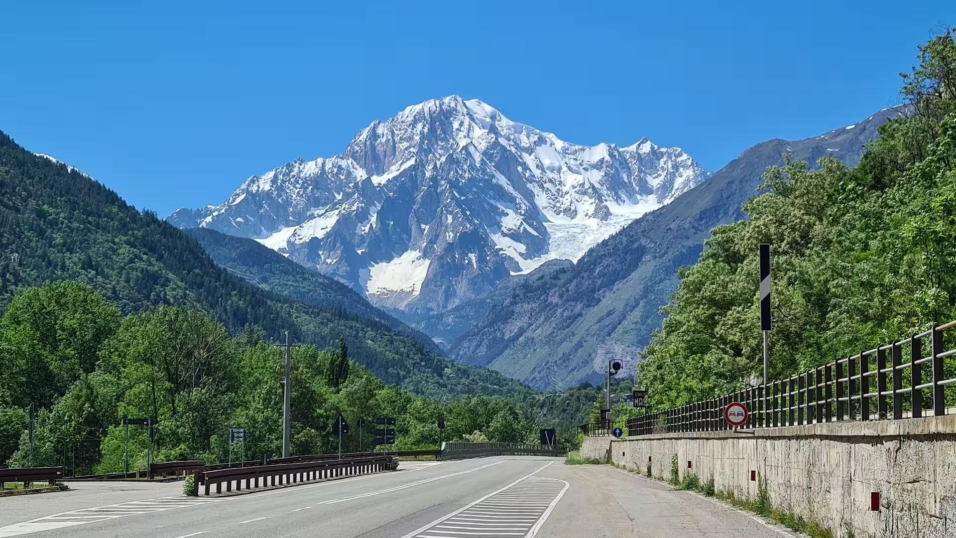
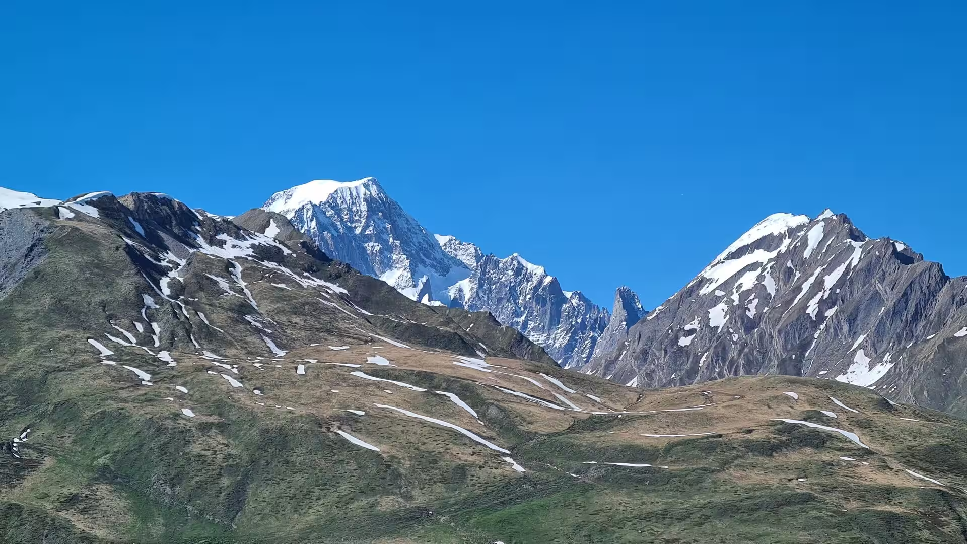
The summits around the valley represent the highest ground of the Alps. Mont Blanc, on the border with France, is the highest mountain of the chain, and the Mont Blanc massif falls steeply to the Val Veny and the Val Ferret on the Italian side; the Gran Paradiso, at 4,061 metres the highest summit lying entirely within Italy, rises south of the valley and gives its name to the national park that surrounds it; the Monte Rosa massif, whose Dufourspitze at 4,634 metres is the second highest summit of the Alps, closes the horizon to the east, and the Matterhorn, at 4,478 metres, stands on the border with Switzerland above the Valtournenche. All four massifs are visible from points along the main valley on a clear day.
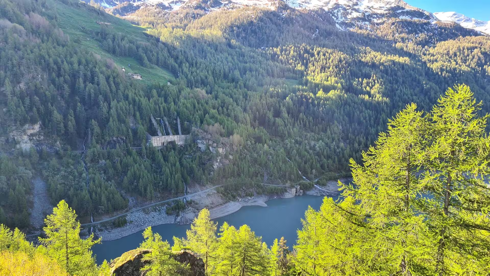
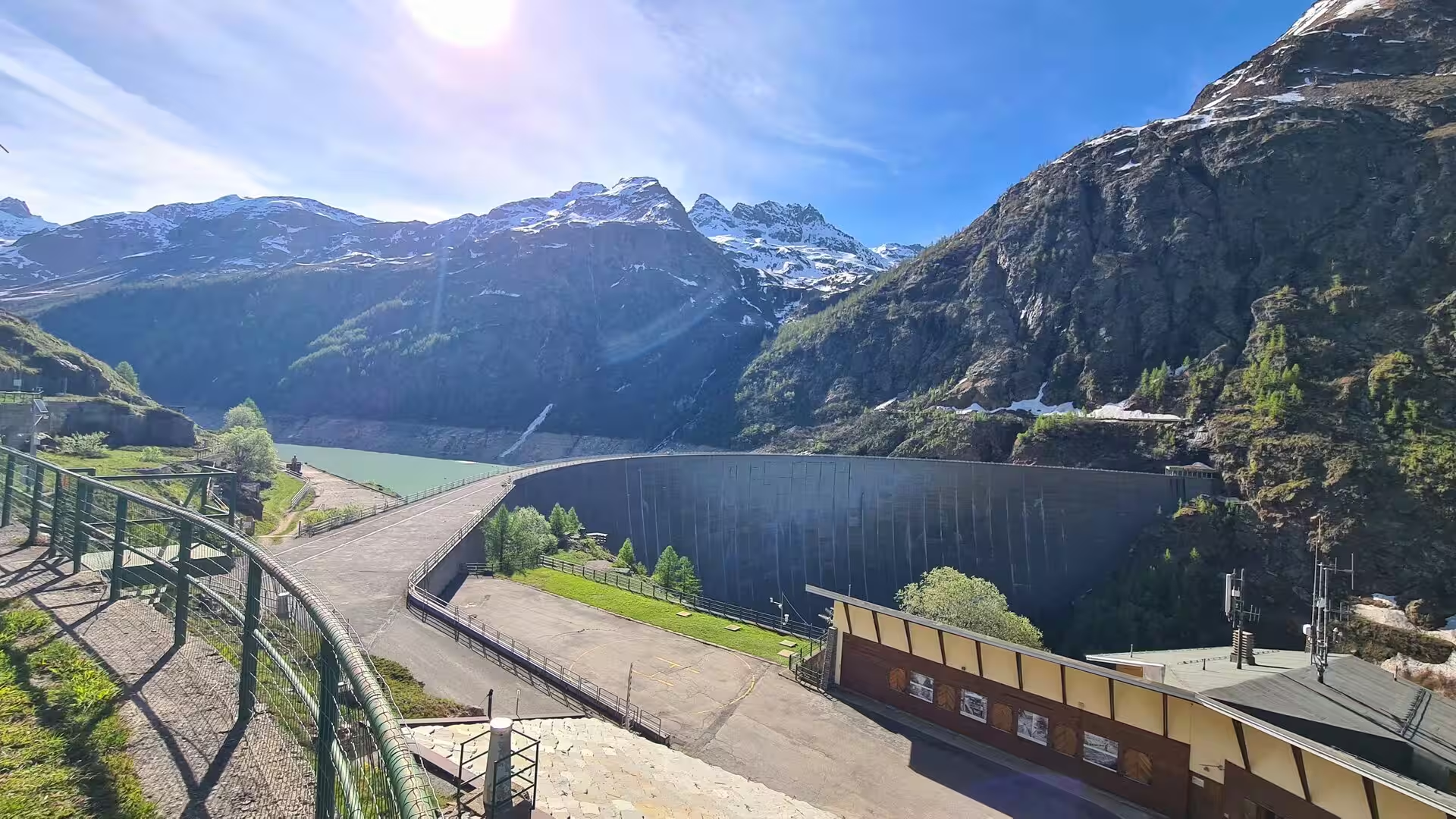
Water has shaped both the geology and the economy of the region. The Dora Baltea and its tributaries, fed by the glaciers and snowfields of the high basins, carry the meltwater of the Alps toward the Po, and the steep gradient of the side valleys has made the Aosta Valley one of the principal centres of alpine hydroelectric power; reservoirs such as the Lago di Place-Moulin in the Valpelline, held back by a curved concrete dam at 1,968 metres, store the water of the high valleys for the power stations below. Above the tree line the landscape is one of rock, scree and snow: the passes of the region, such as the Great St Bernard at 2,469 metres, remain partly snow-covered well into June in most years.
Things to See
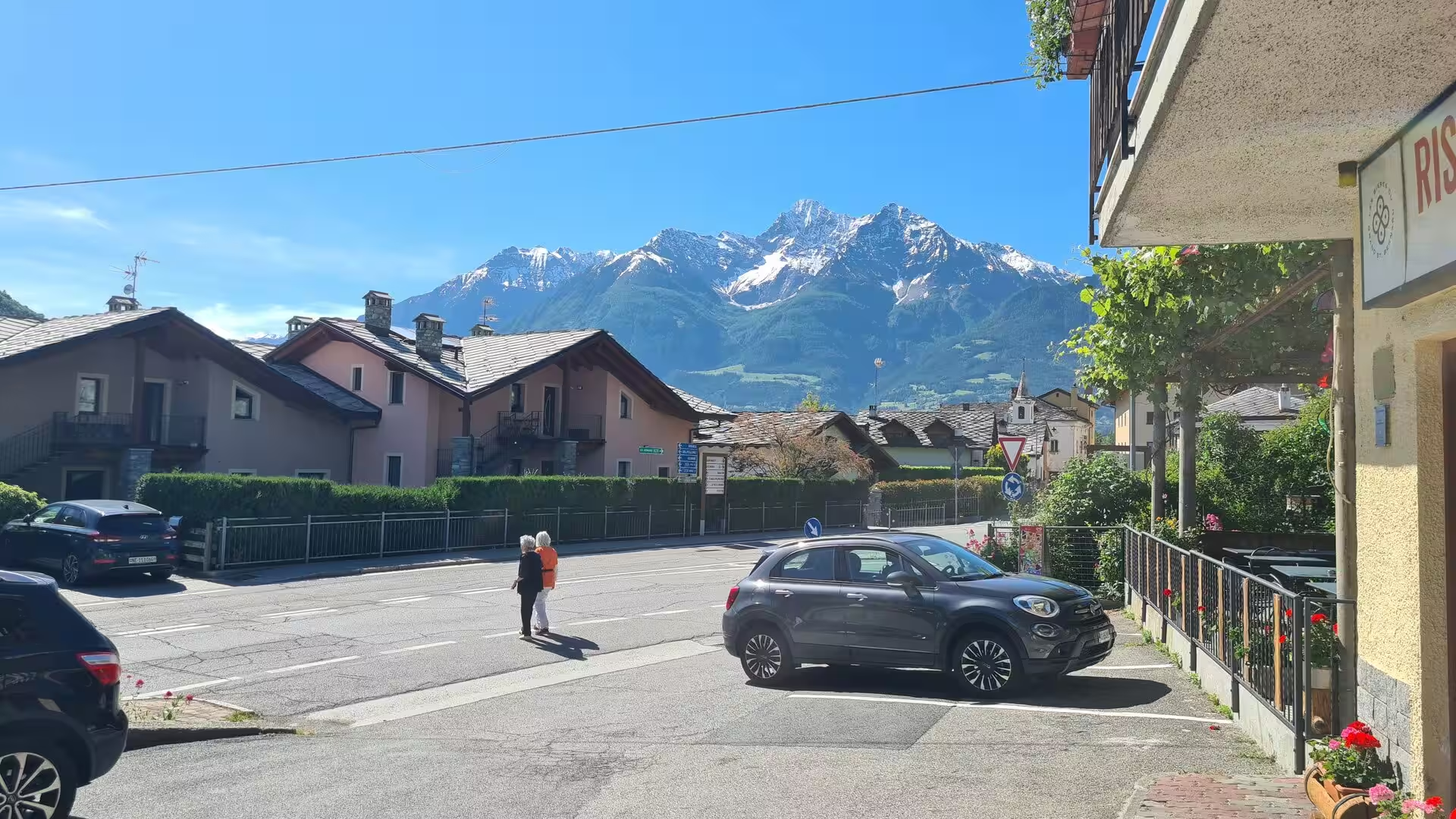
The route through the valley begins at Aosta, whose centre is an open-air museum of two thousand years of history. The Arch of Augustus stands at the east gate of the Roman colony, the ruins of the theatre rise beside the modern pedestrian streets, and the old town is closed by the medieval towers of the lords who succeeded the Romans. The cathedral and the collegiate church of Sant’Orso, with its cloister of carved columns, represent the medieval city, while the shops and cafes of the centre make Aosta a natural base for the touring of the valley.
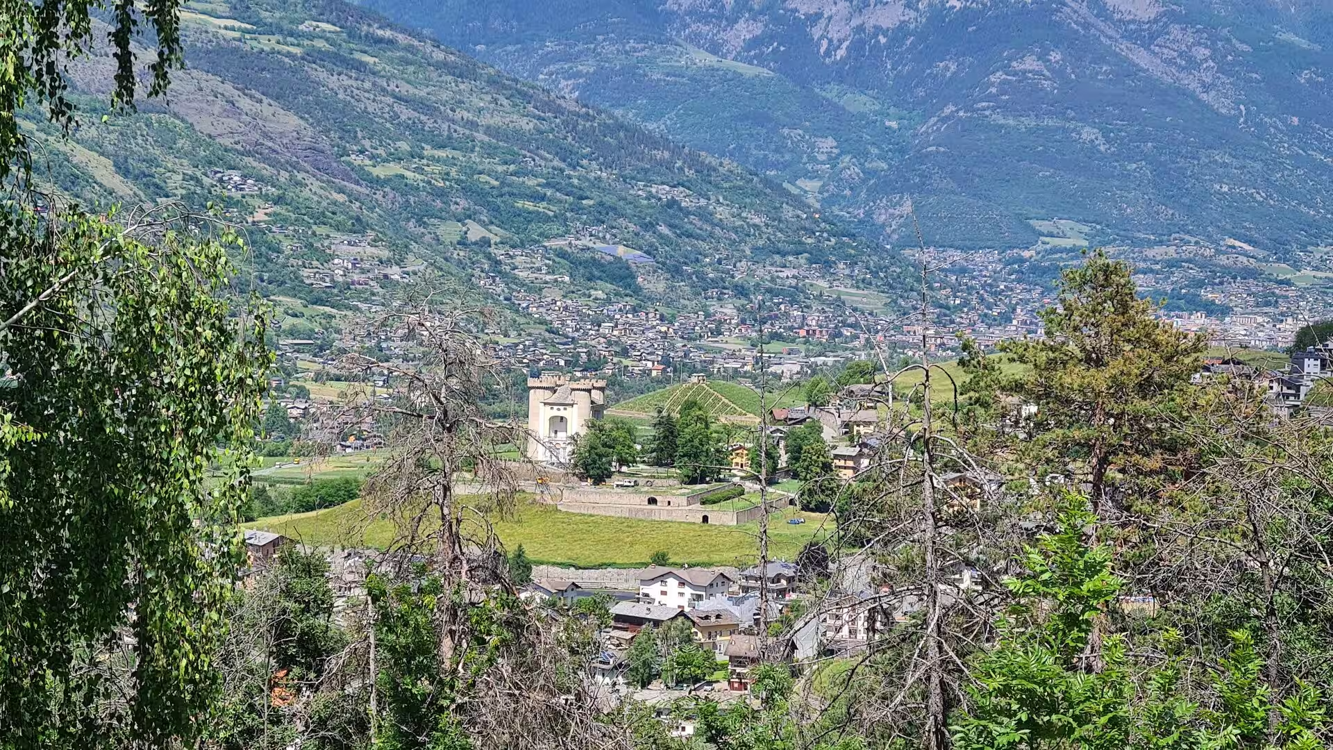
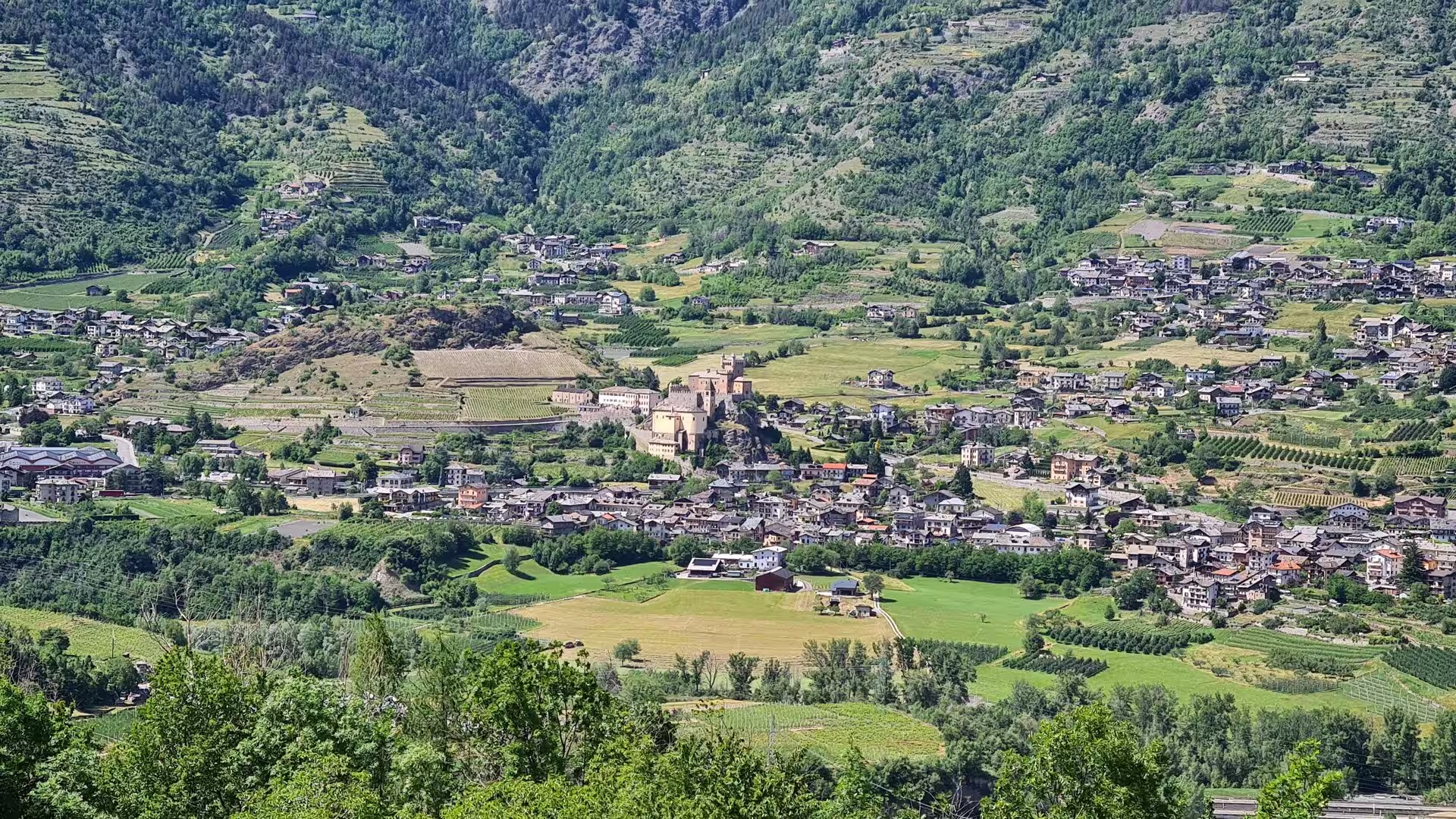
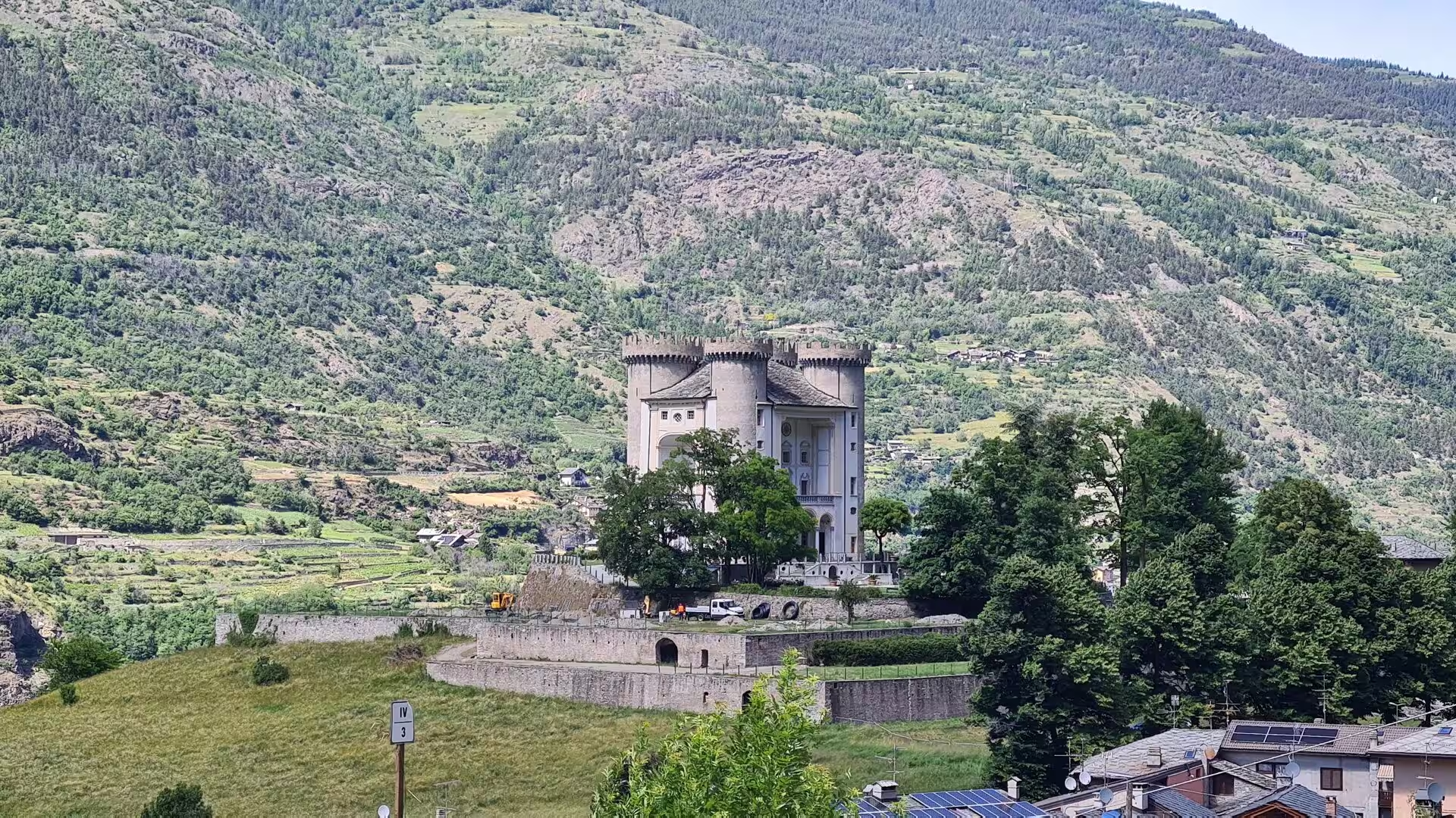
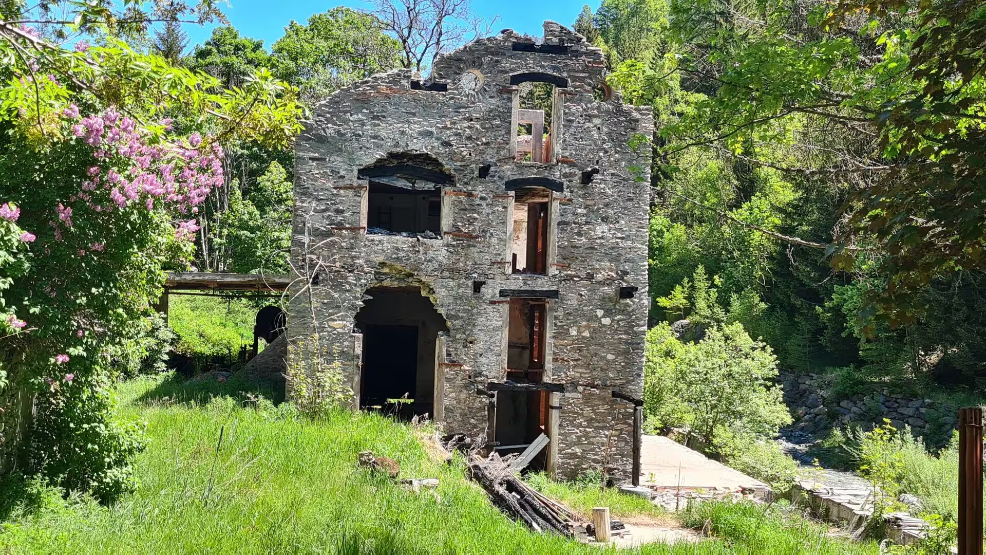
The middle valley between Aosta and Pont-Saint-Martin is lined with castles, and the road passes several of the best preserved of them within a few kilometres. Fénis, built from the thirteenth century onward and surrounded by its complete circuit of walls and towers, is the most famous of the valley’s medieval fortresses; Verrès, a severe square keep rising from a rocky spur above the town of the same name, guards the entrance to the Val d’Ayas; and beyond the gorge of the Dora Baltea, the Forte di Bard, rebuilt between 1830 and 1838 after its destruction in the Napoleonic wars, crowns the rock above the river and houses the Museum of the Alps within its bastions.
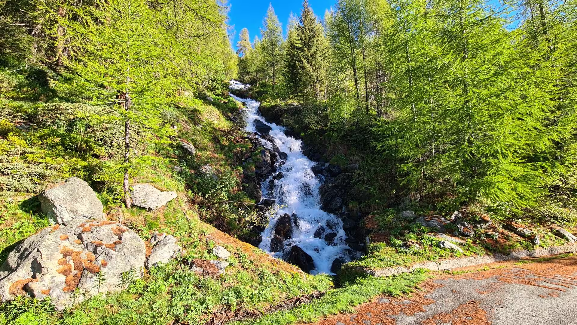
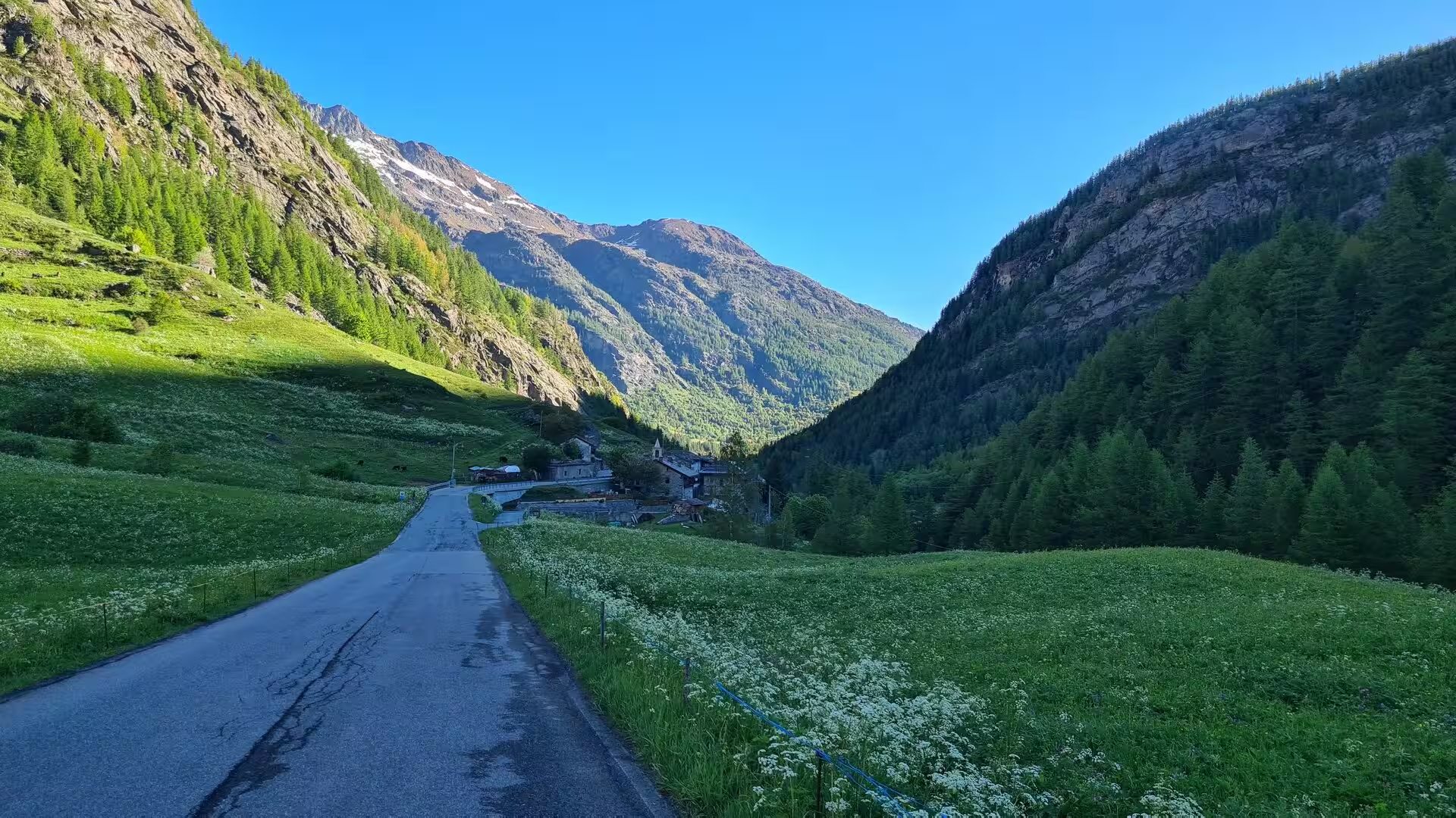
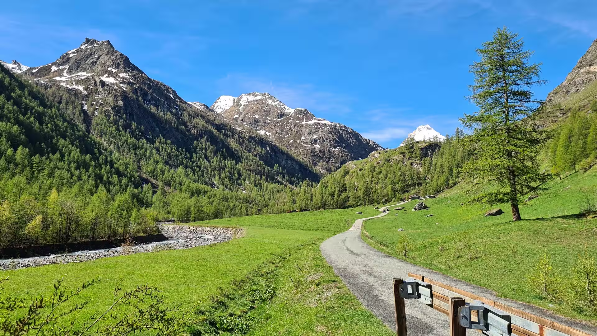
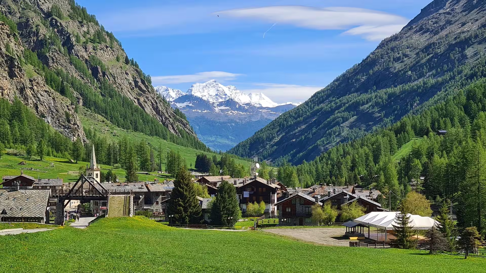
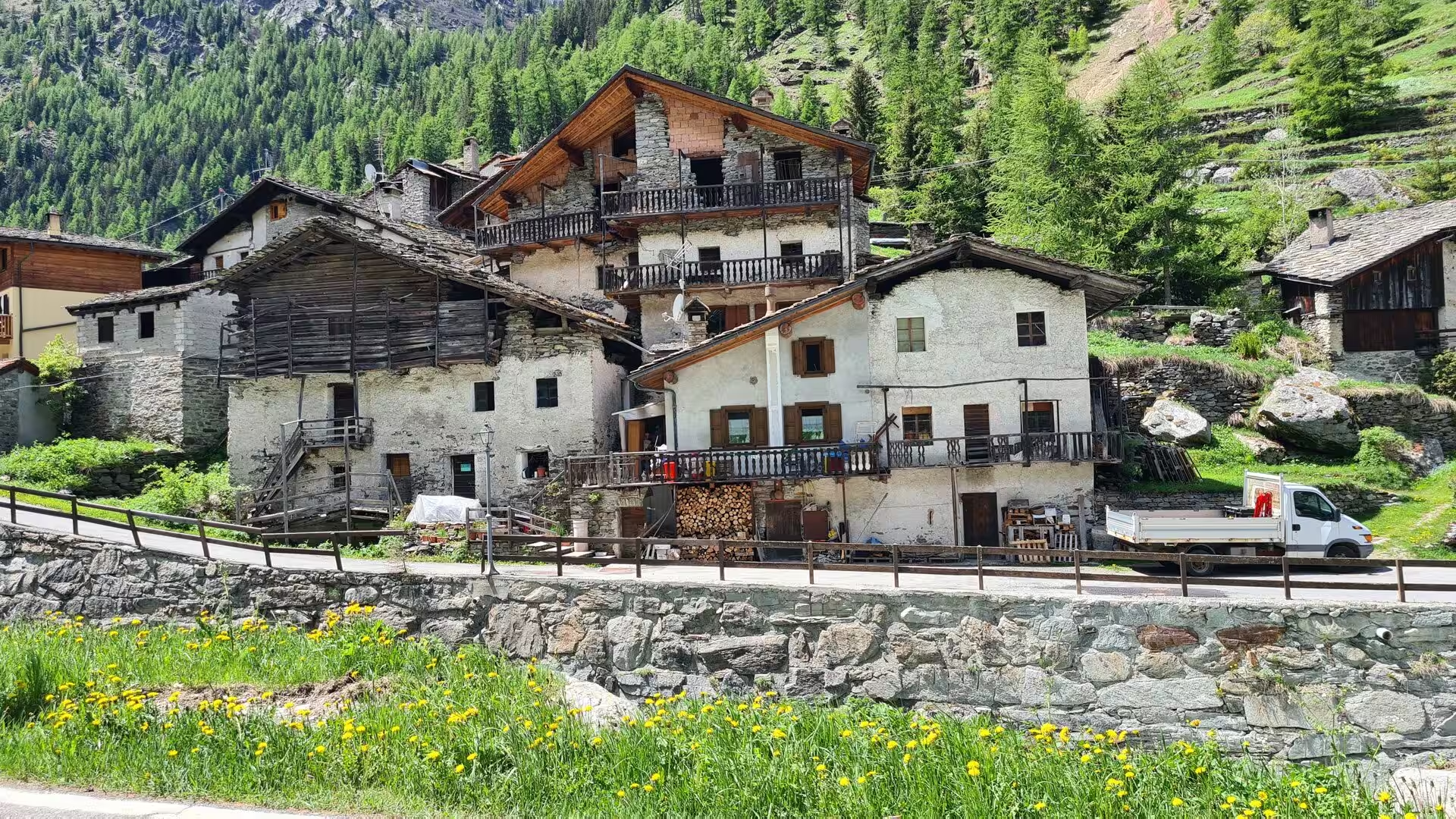
The side valleys are the heart of the mountain world of the Aosta Valley. Above the main road the cultivated valley floor gives way to larch forest and high pasture; the villages of the Valtournenche and the Val d’Ayas, built of stone with wooden balconies and slate roofs, climb the slopes below the Matterhorn and the Monte Rosa, and their churches, with the characteristic bell towers of the alpine baroque, mark the summer pastures where the herds graze from June onward. In late spring the meadows are bright with wild flowers, and the streams of the hanging valleys fall in white cascades over the rock walls.
On the road toward the Swiss border the Valpelline opens north of Aosta, a long, quiet side valley that climbs past the villages of Oyace and Bionaz to the reservoir of Place-Moulin, whose turquoise water lies at 1,968 metres below the surrounding peaks. Above the dam the road continues through the high pastures of the upper valley, past the last hamlets, and climbs in long curves to the Great St Bernard pass at 2,469 metres, on the border with Switzerland.
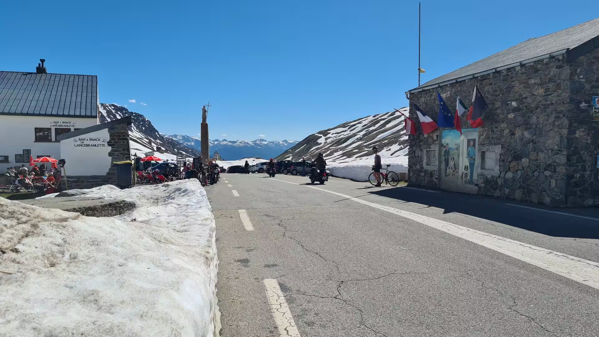
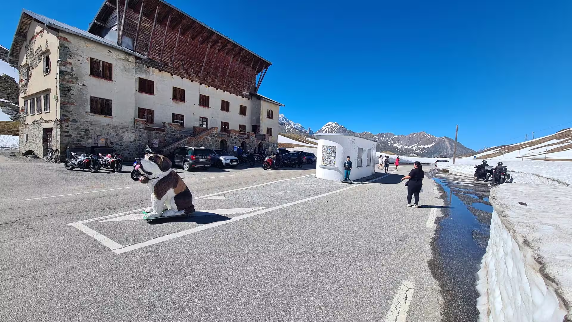
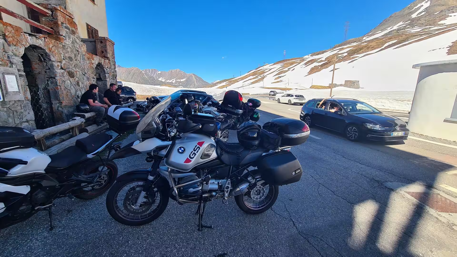
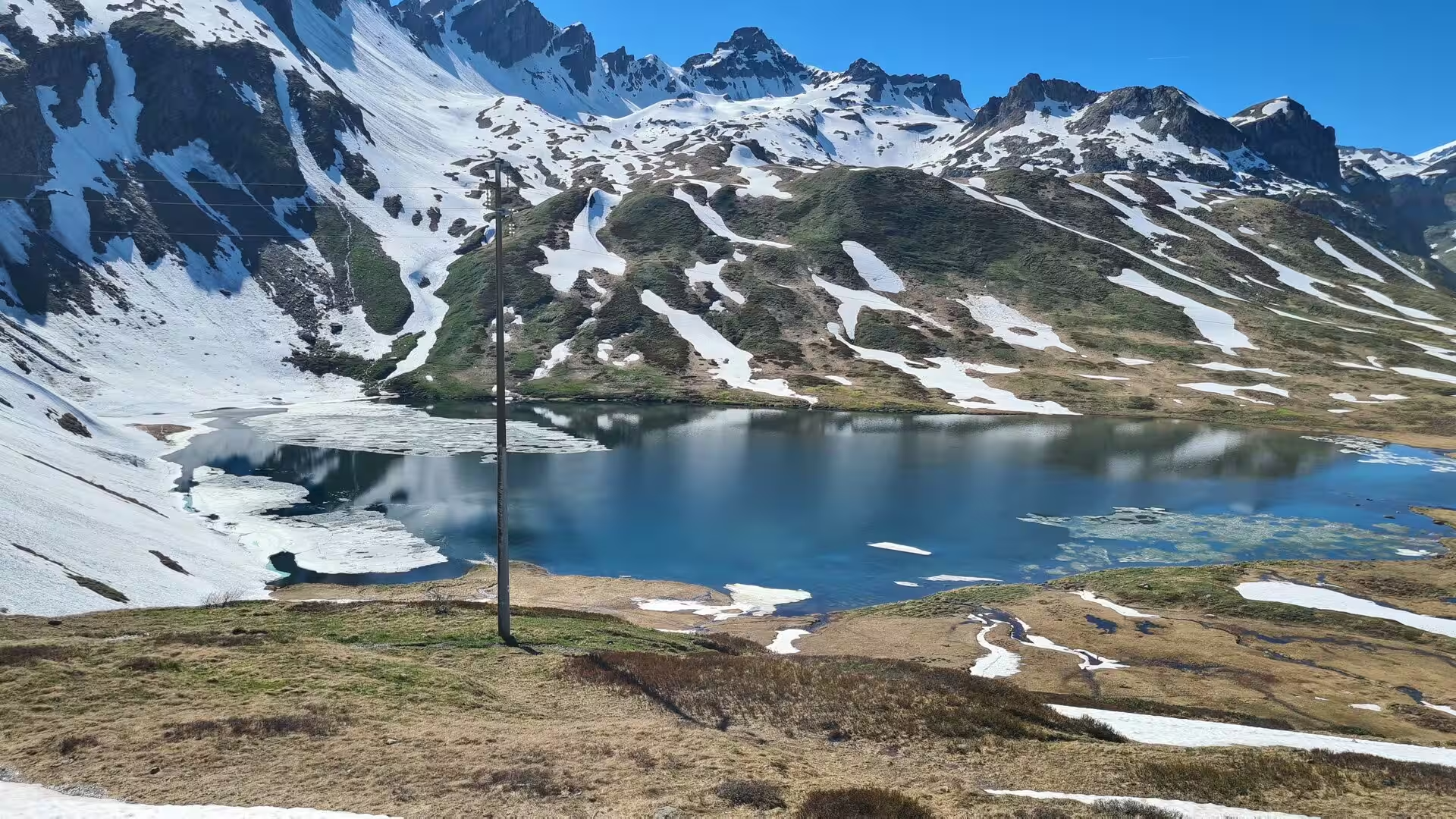
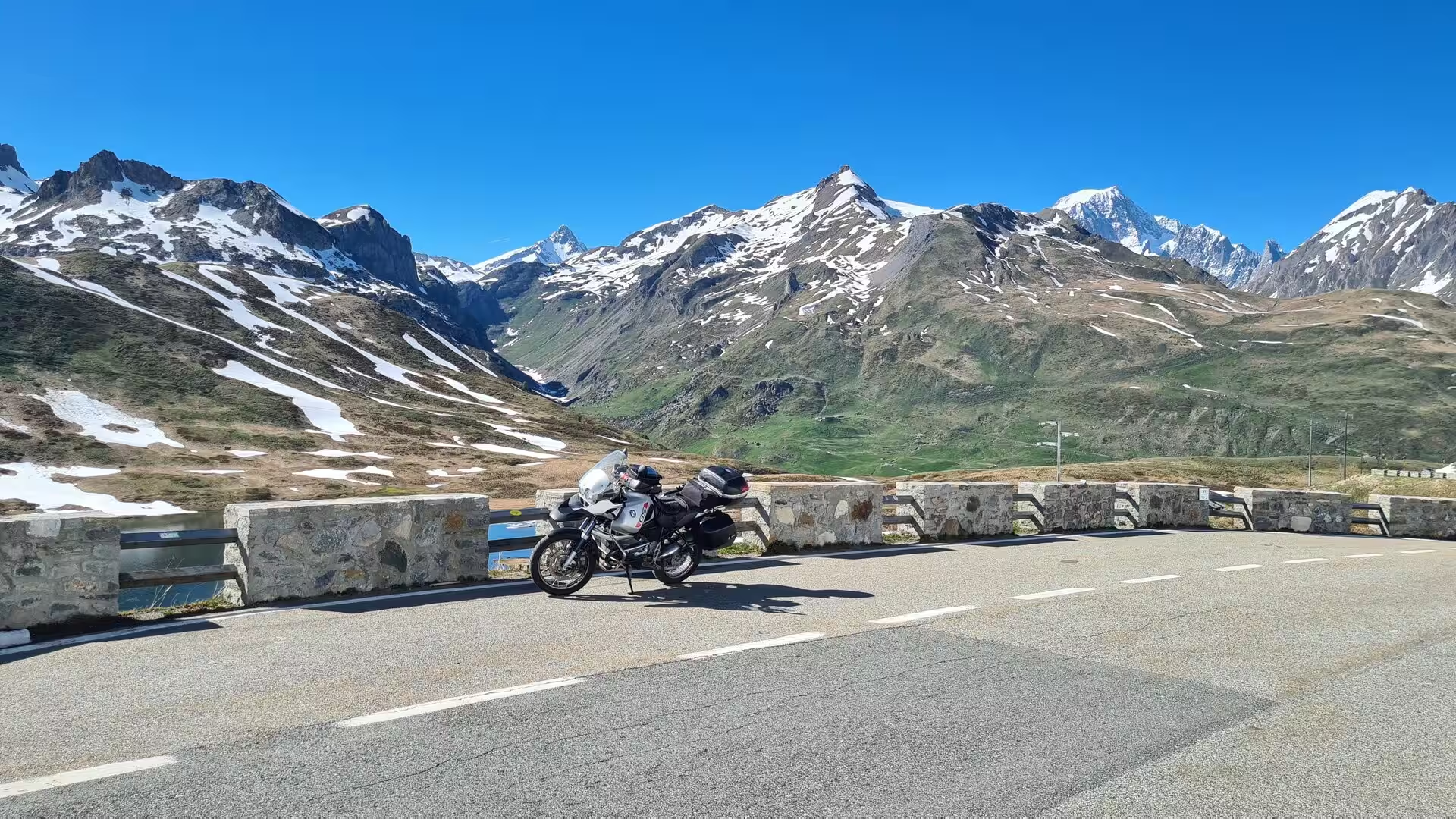
The Great St Bernard is one of the classic passes of the Alps and the goal of the route. The hospice on the summit, founded in 1049 to shelter travellers, is still served by the canons who maintain the tradition of hospitality on the pass, and the stone lodge with its kennels recalls the dogs of the St Bernard, bred here for mountain rescue since the seventeenth century and commemorated by the statue beside the pass buildings. The small lake of the pass, frozen for much of the year, lies below the hospice, and on a clear day the view extends from the Mont Blanc massif to the peaks of the Valais. In late May the pass is still lined with snow, and the contrast between the cold of the summit and the green valley far below is one of the great moments of an alpine crossing.
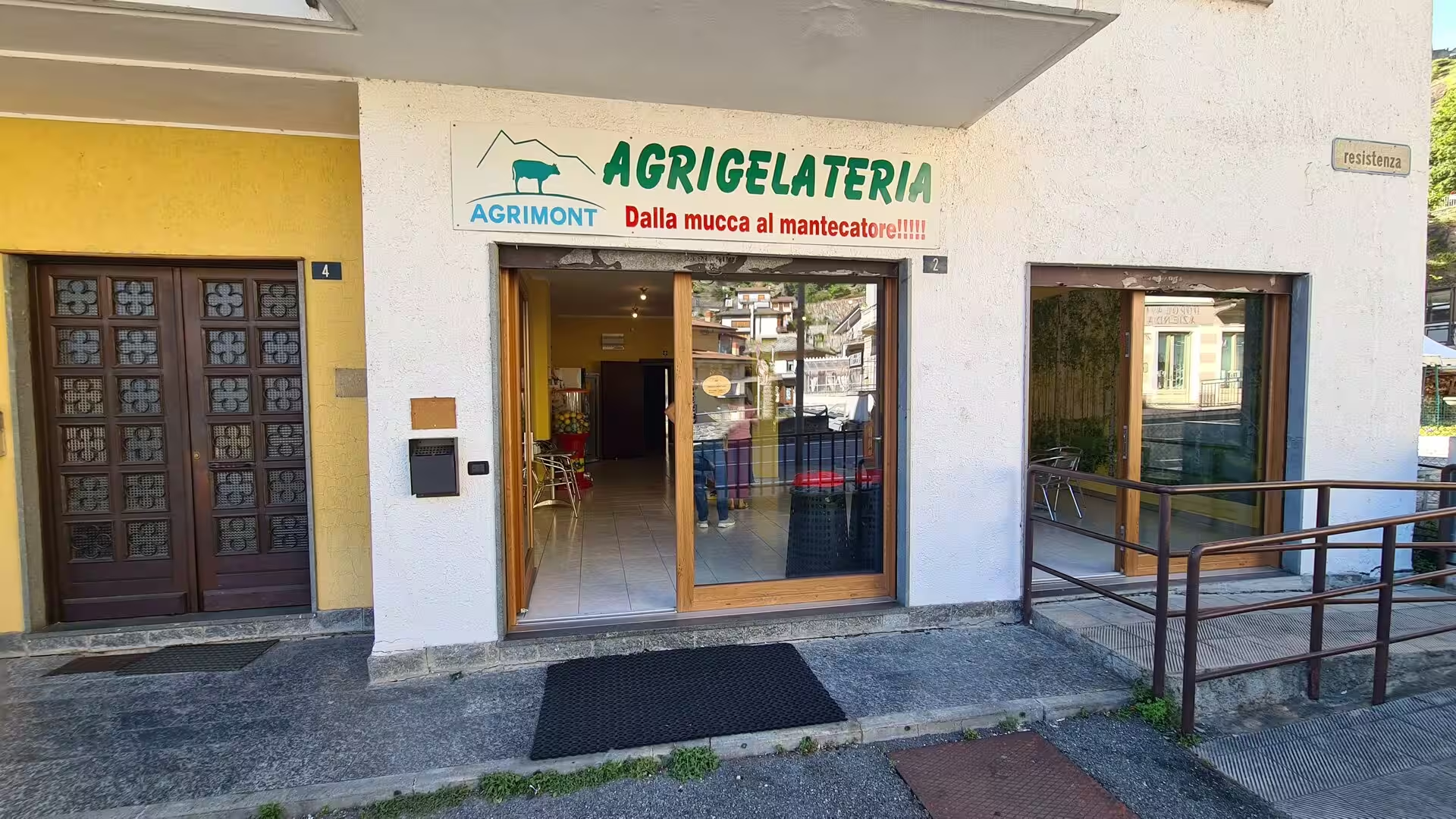
Finally, the valley offers its own table culture. Fontina, the DOP cheese of the region, is made in the alpine dairies from the milk of the high pastures and appears on the table as fonduta; the wines of the Valle d’Aosta DOC accompany the local dishes, from the white wines of the Morgex vineyards, the highest of the denomination at about 1,000 metres, to the red Enfer d’Arvier of the middle valley. The small dairies and gelaterie of the valley towns, with their signs of cows and mountains, belong to the same world as the pastures and the herds, and close the day of a ride through the Aosta Valley with the taste of the region itself.
References
- Cerutti, A. Le Pays de la Doire et son peuple. Quart: Musumeci.
- Regione Autonoma Valle d’Aosta (2026). Official website of the autonomous region. www.regione.vda.it/
- LoveVdA (2026). Aosta Valley official tourism website. www.lovevda.it/en
- Forte di Bard (2026). Associazione Forte di Bard. www.fortedibard.it/
- Wikipedia contributors (2026). Aosta Valley (English). en.wikipedia.org/wiki/Aosta_Valley
- Wikipedia contributors (2026). Aosta (English). en.wikipedia.org/wiki/Aosta
- Wikipedia contributors (2026). Great St Bernard Pass (English). en.wikipedia.org/wiki/Great_St_Bernard_Pass
- Wikipedia contributors (2026). Great St Bernard Hospice (English). en.wikipedia.org/wiki/Great_St_Bernard_Hospice
- Wikipedia contributors (2026). Fénis (English). en.wikipedia.org/wiki/F%C3%A9nis
- Wikipedia contributors (2026). Verrès (English). en.wikipedia.org/wiki/Verr%C3%A8s
- Wikipedia contributors (2026). Forte di Bard (Italian). it.wikipedia.org/wiki/Forte_di_Bard
- Wikipedia contributors (2026). Lago di Place-Moulin (Italian). it.wikipedia.org/wiki/Lago_di_Place-Moulin
- Wikipedia contributors (2026). Mont Blanc (English). en.wikipedia.org/wiki/Mont_Blanc
- Wikipedia contributors (2026). Gran Paradiso (English). en.wikipedia.org/wiki/Gran_Paradiso
- Wikipedia contributors (2026). Fontina (English). en.wikipedia.org/wiki/Fontina