Grande Traversata delle Alpi · 2026
Stage 3 of 8
2026 GTA 3 - From Bellino to the Maira Valley
5 July 2026





Journal Notes
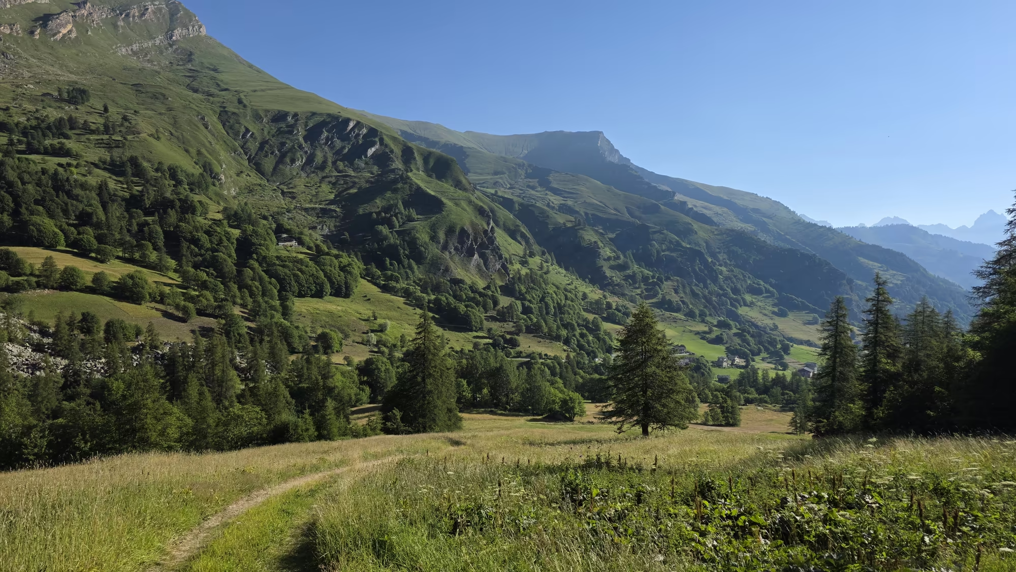
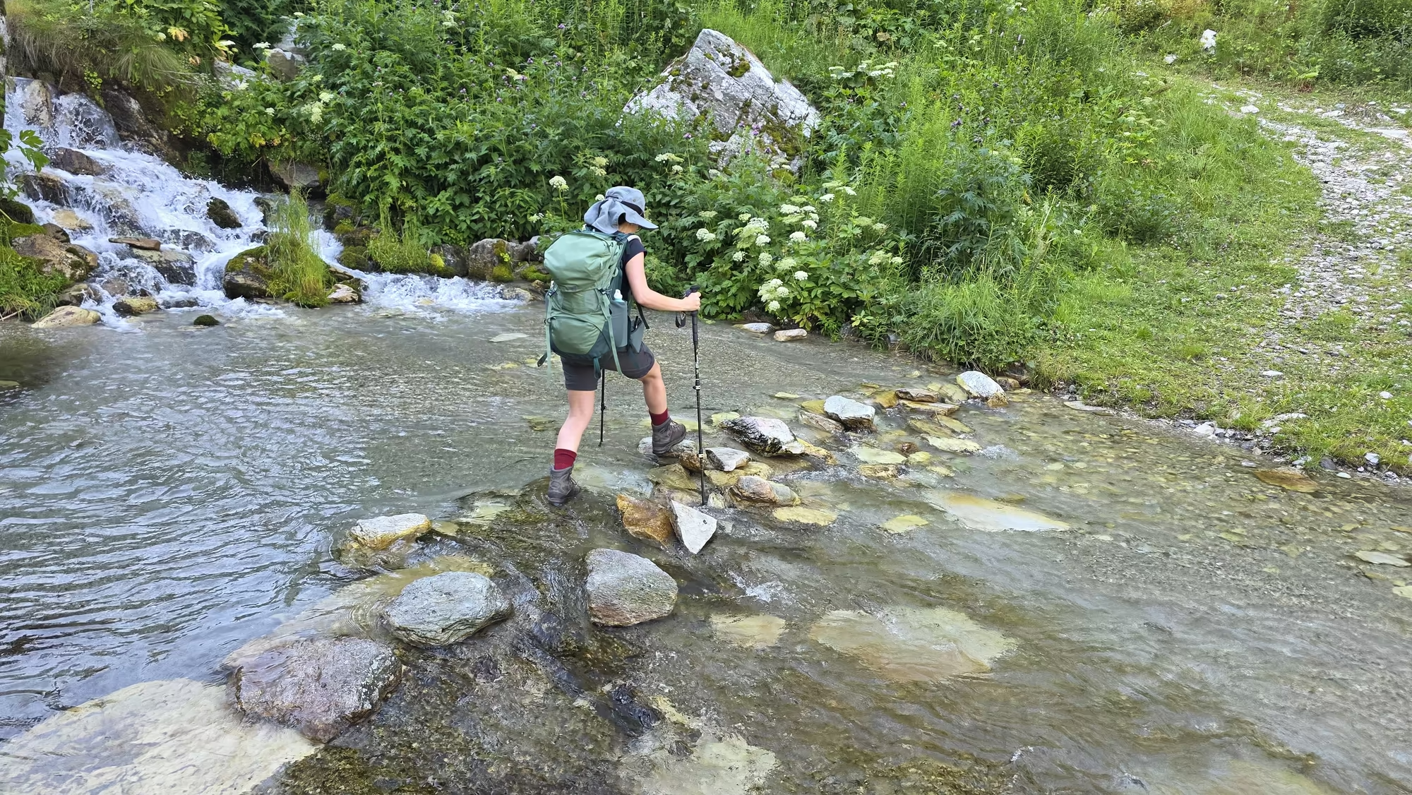
The day opens above the Varaita. At Chiazale the first light comes down the valley wall and reaches the water of a stream that runs fast over pale stones, while the lower fields stay in shadow. The air is cold and carries the smell of cut grass and resin. Nothing moves on the track yet except the water and the small birds working the meadow edge. Higher up, where the slope steepens, the rock is already in sun. This is the highest settled ground of the valley, and the crossing ahead climbs from it into a country of scree, pasture and old stone.
Up from the Varaita Valley
The trail leaves Chiazale behind a last group of houses, drops to the stream, and turns to follow it upward. The Varaita runs clear and cold here, gathered from springs and snowfields on the high ground, and the path keeps close to it for a while, crossing and recrossing on stepping stones that sit just proud of the water. Each crossing asks for a long stride and a shift of weight, a brief hesitation on the wet stone before the far bank is reached. Alders and larches stand along the water, and their shadows make the stream flicker between light and dark.
Above the trees the valley opens into pasture. The Varaita is one of the great Occitan valleys of the Piemont, and its upper course is strung with hamlets that belong to a single old world of stone roofs and terraced fields. The language spoken here until recent generations was Occitan, a tongue of the southern Alps and the plains beyond, and it survives in place names, in a few songs, and in the way the older houses are still named after the families who built them. Unlike the Walser valleys further north, where Germanic dialects took root, this is a landscape of Latin and Provencal inheritance, remade by centuries of herding.
The path is an old one. The mule tracks that link the borgate of Bellino were made for animals carrying hay, cheese and salt, and they find the gentlest line up a slope, hold their height across a flank, and arrive at a village by the shortest sensible route. To walk them is to move at the speed they were designed for.
Celle di Bellino and the Roofs of Lose
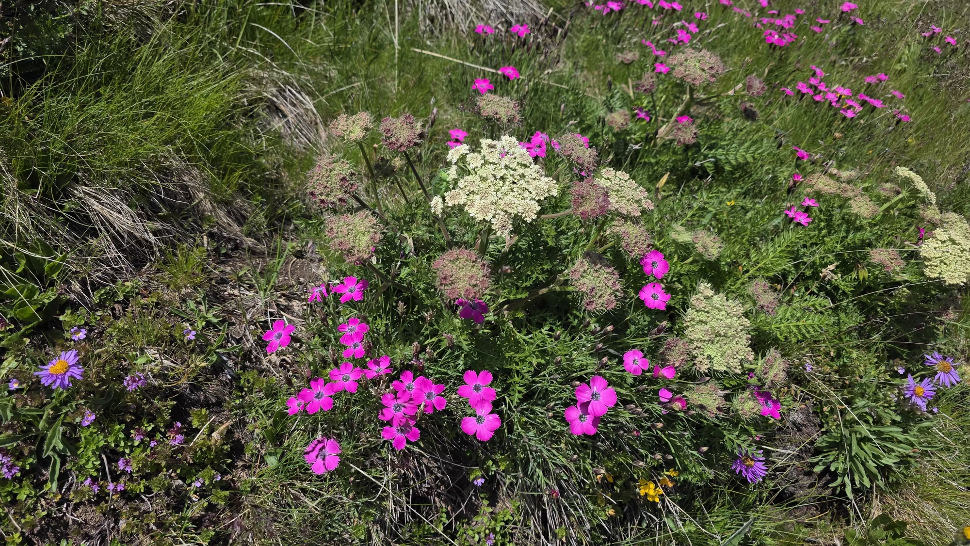
Just above Celle di Bellino the meadows are at their best. Wildflowers stand in the long grass: yellow gentians, pink campion, clover, and the pale heads of alpine orchids. The village sits on a steep slope, its houses fitted one against another so that the roof of the lower house becomes the yard of the one behind, a way of building that wastes no ground and holds the heat of the winter sun.
Nothing about the architecture is decorative. The walls are of local stone, laid dry or in a thin mortar, and the roofs are of lose, the flat slabs of schist that split naturally from the bedrock and give the hamlets their particular grey. The slabs are laid in overlapping courses, heavy enough to resist the wind and pitched steeply enough to shed snow, and their edges are weathered into soft steps. The eaves are carried far out over the lanes, and the window openings are small and set without much symmetry, sized to keep warmth in rather than to please the eye from outside.
Celle di Bellino grew where it did for two reasons: a spring, and the fact that travellers crossing toward the passes needed somewhere to rest. The name is remembered as a place of innkeepers, and the slopes around it were once worked in narrow terraces of vine, rye and hay. Many of the men of these borgate were masons, and their skill travelled with them; they built in the towns of the plain and beyond the mountains, and came home with a little money and a taste for a painted sundial on the whitewashed wall of the house. Several of those dials still work, and their shadows move across the plaster as surely as the sun moves over the valley.
Beneath the High Rock Walls
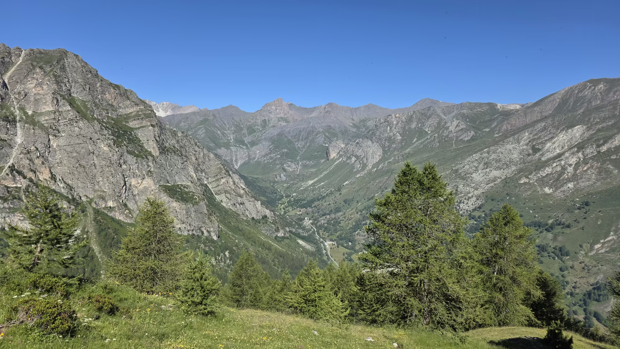
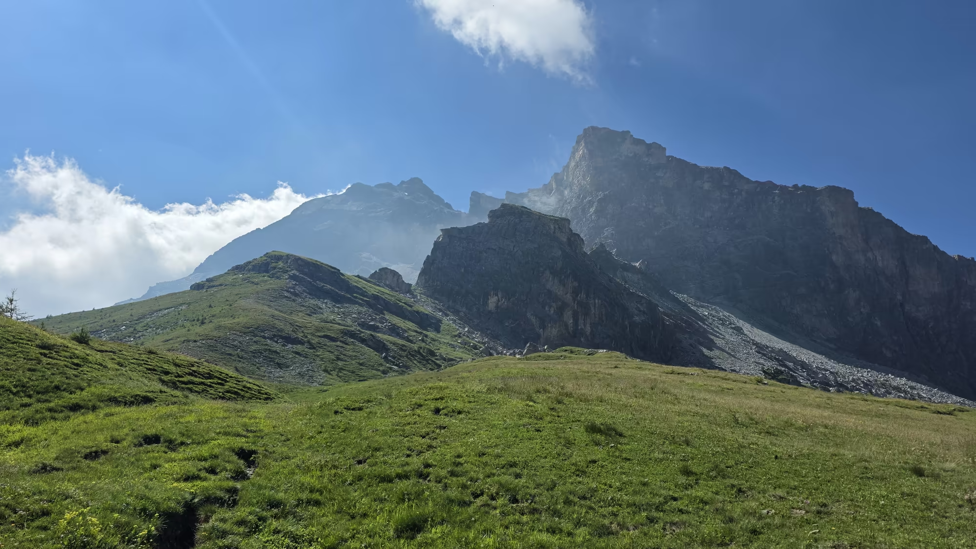
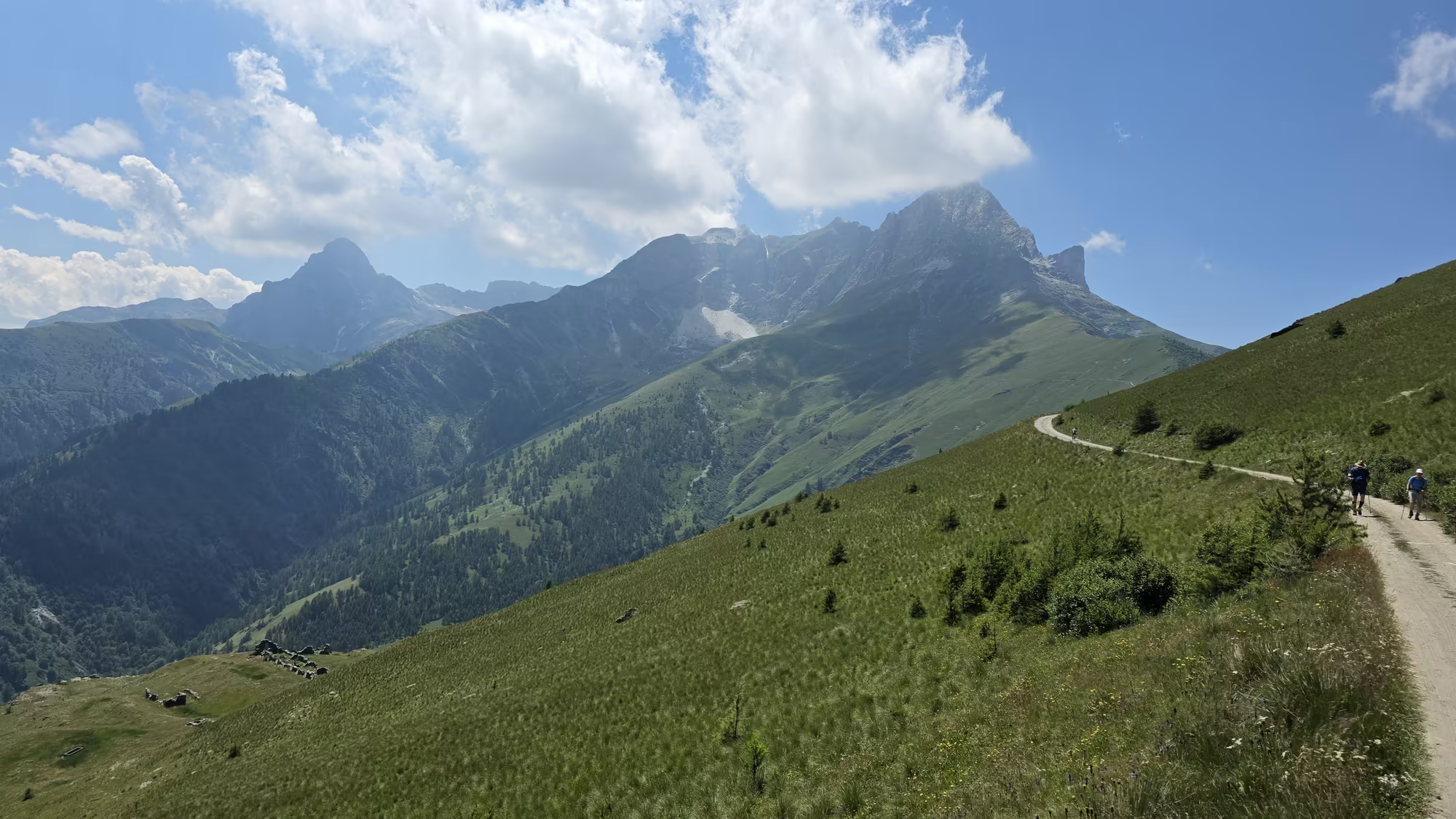
Beyond the last roofs the path climbs beneath high rock walls, grey and banded, that close the head of the valley. The route is faint here, a line of trodden grass and small cairns, and it crosses the mountain flank sideways rather than directly, gaining height in long traverses. The walls cut off the view to one side and throw the path into cold shadow for most of the morning, while across the valley the opposite slopes are already bright.
Above the path the ground turns to open pasture, dotted with the small stone huts of the alpeggi. These are the summer shepherds’ buildings, low and roofless in places, built where the grass is sweetest and the water is near. Herds of cattle and sheep come up to these pastures in the warm months, and the sound of their bells carries a long way on still air. Somewhere in the open ground a marmot whistles, sharp and sudden, and then goes quiet; the animal itself is almost never seen, though its burrows and its alarm calls mark the slopes everywhere.
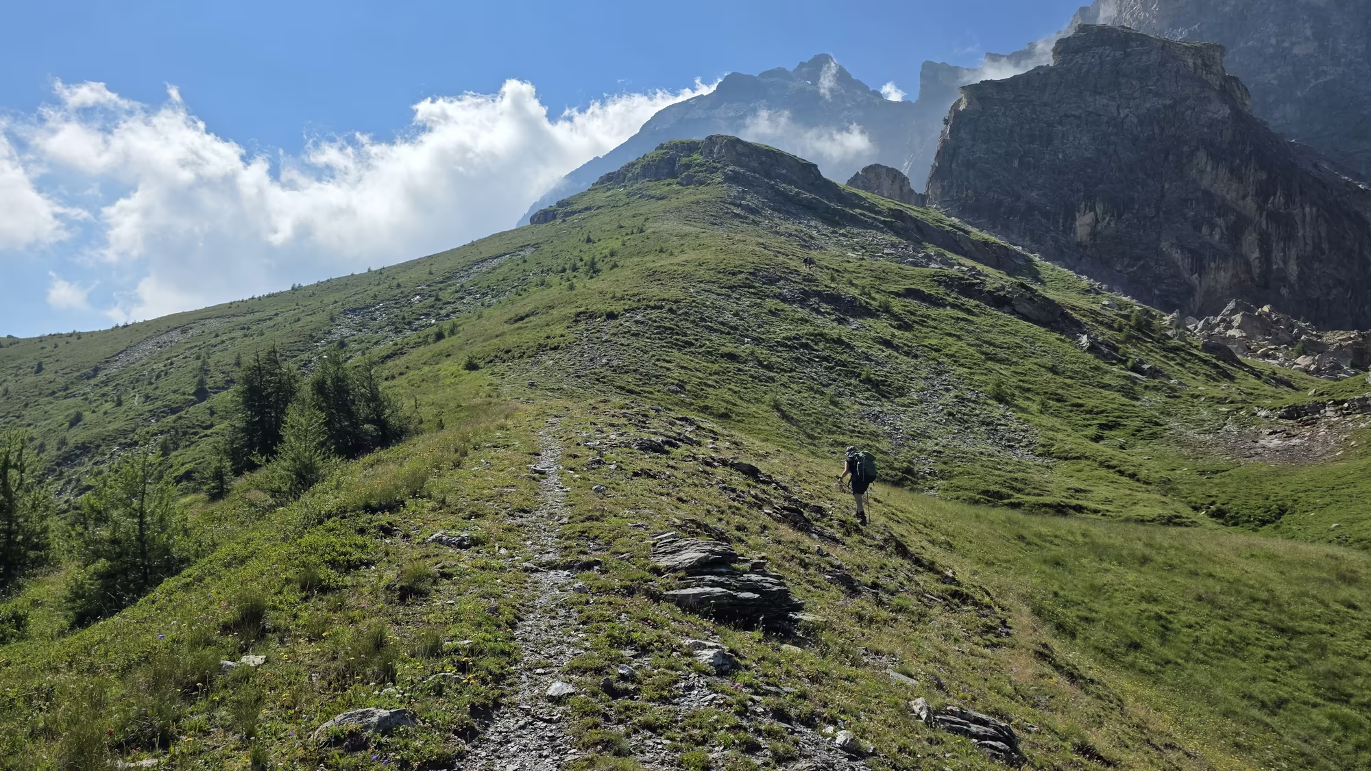
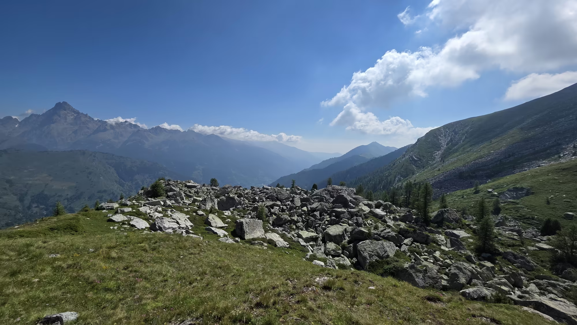
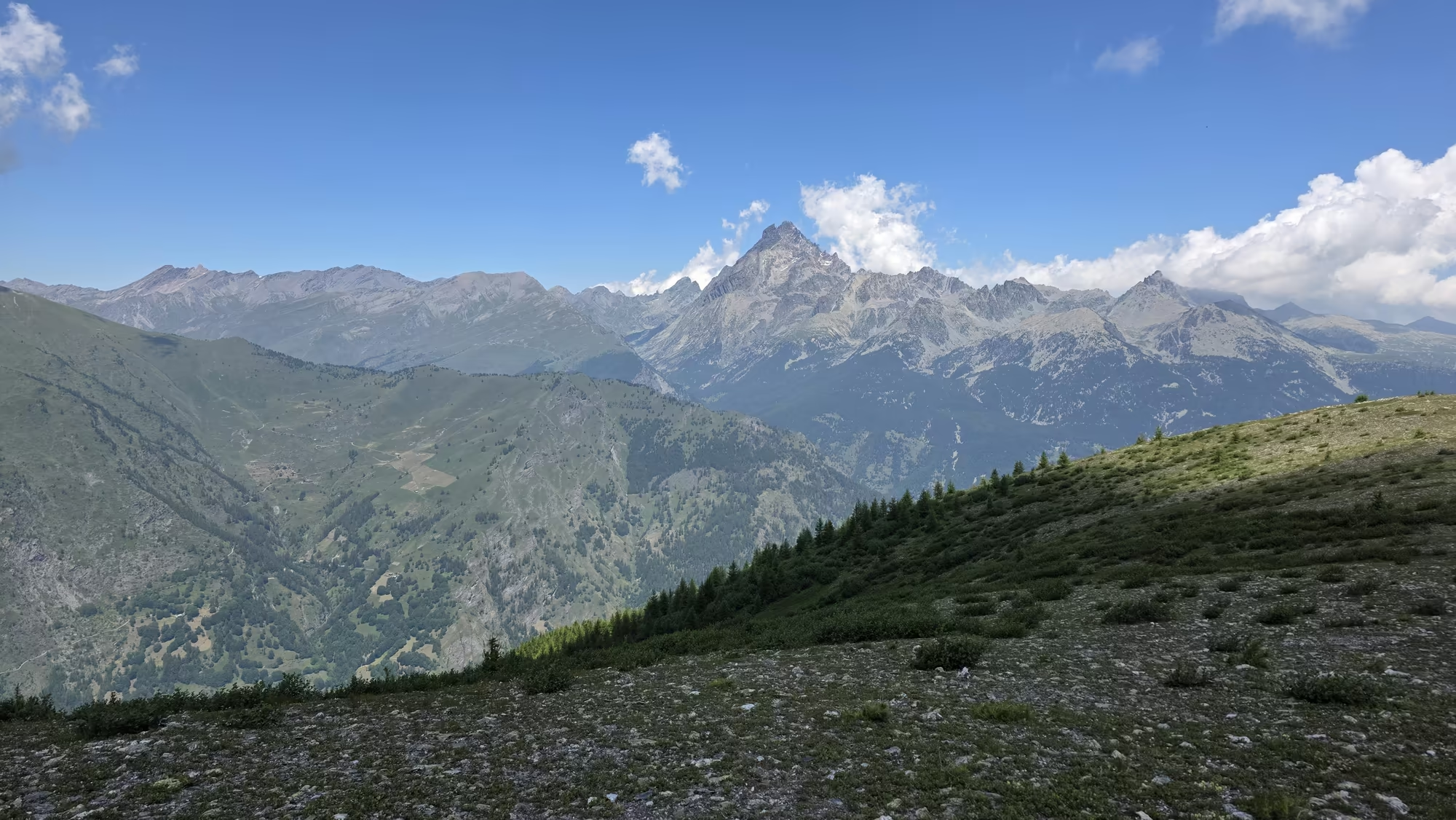
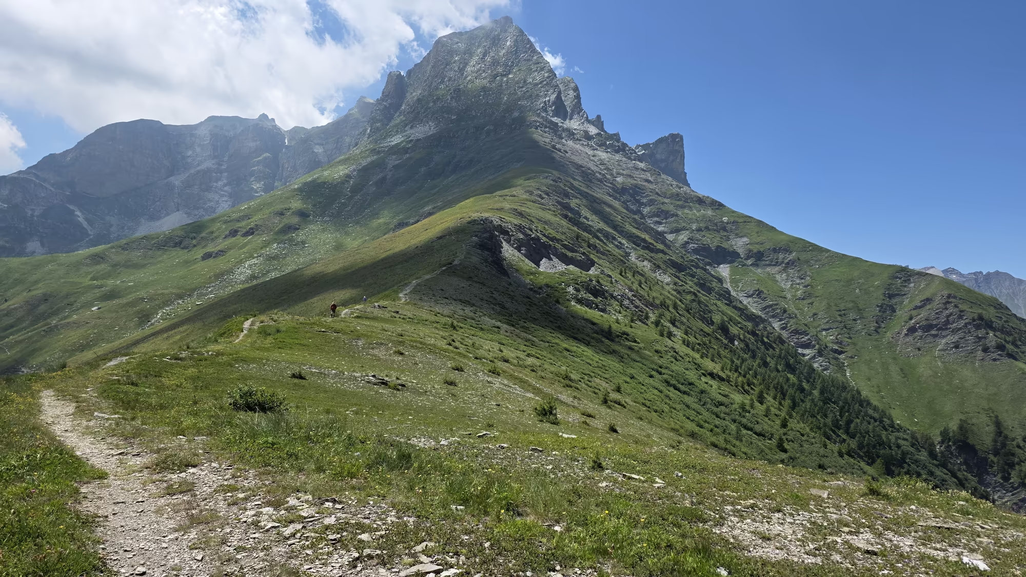
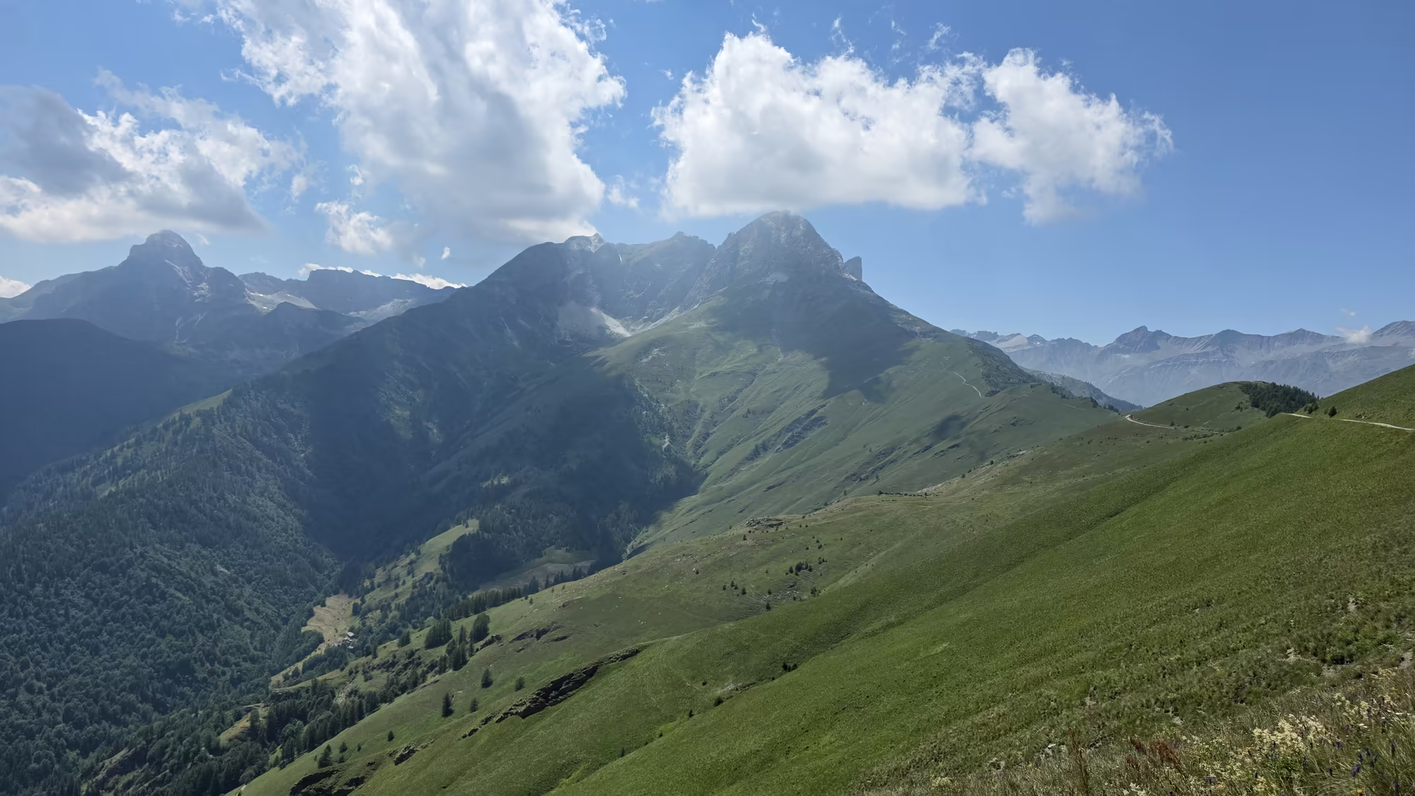
A single larch frames the distant summit, gold green against the sky, and the path climbs on toward the grassy ridge. The high pasture ends, the rock begins to show through the turf, and the last stretch to the crest is made on ground that is more stone than grass. Then the ground rounds off, the ridge is underfoot, and on both sides the valleys fall away.
Across the Scree
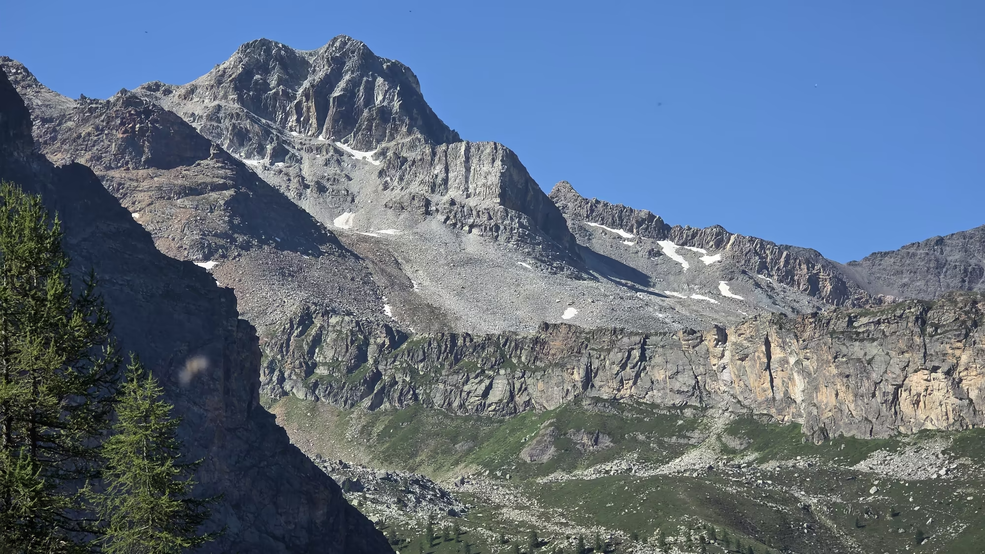
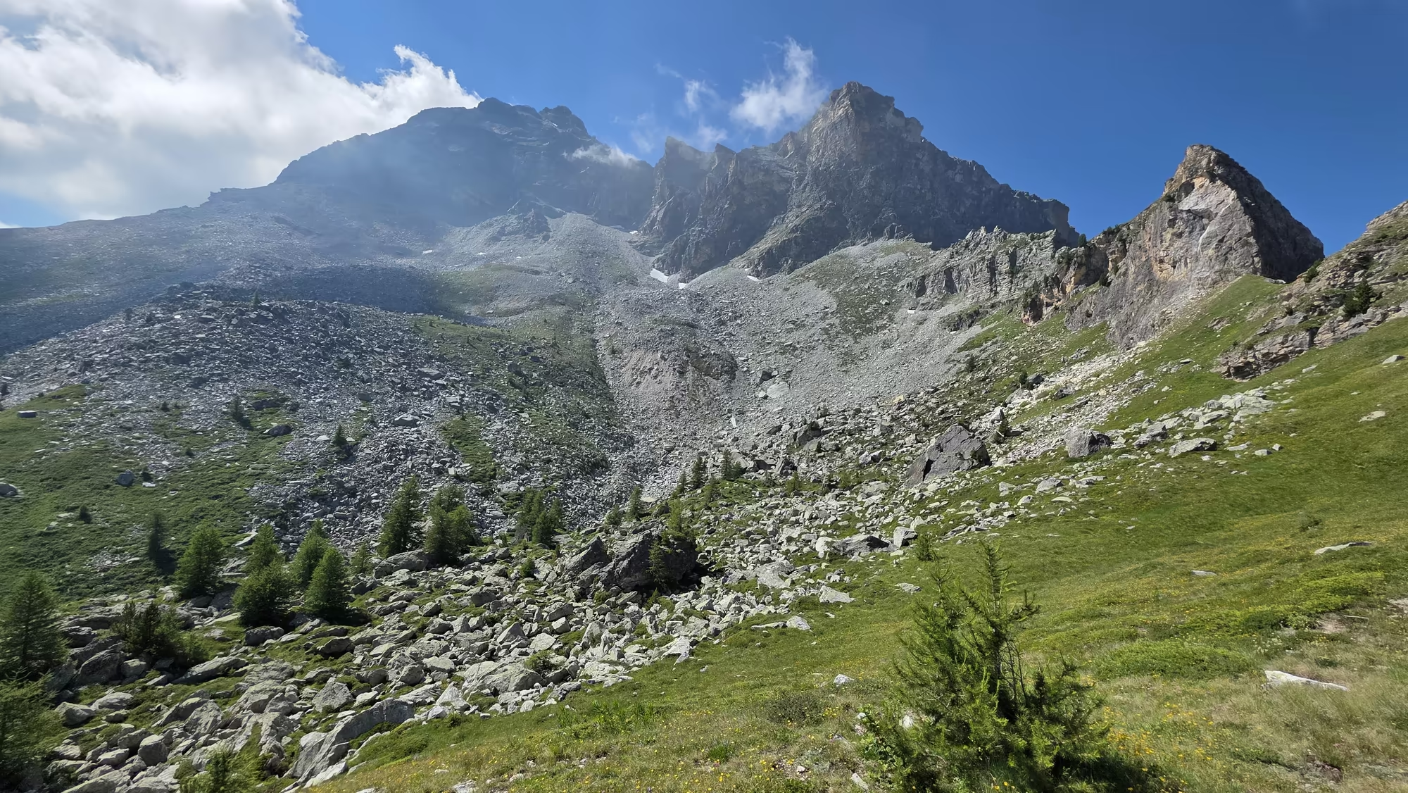
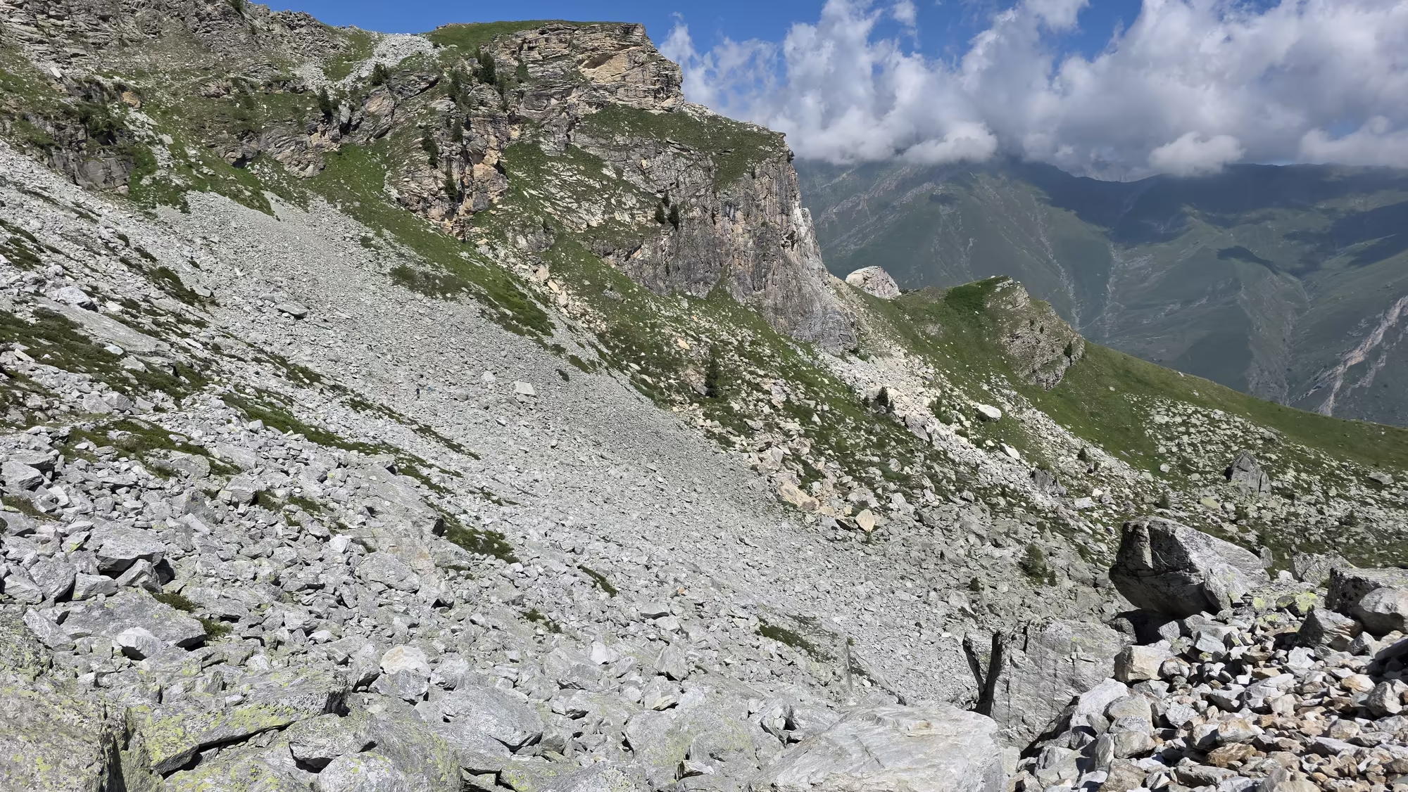
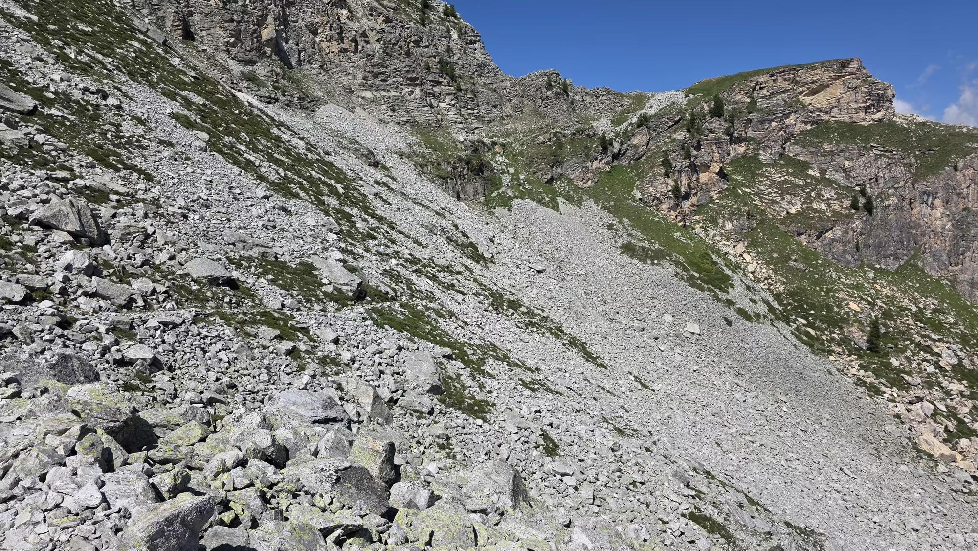
On the far side the route crosses scree slopes below jagged peaks. This is the great scree field, a broad apron of loose slabs spilling from the crags above, pale grey and greenish where lichen has taken hold. Walking here is slow work: the stones shift under each step, and the path, where it exists at all, is a matter of picking the firmest line between the sliding edges.
Higher, the scree gives way to boulders, and the ascent becomes a scramble, hands on cold rock, feet testing ledges that may or may not hold. Loose stones rattle away down the slope with every misstep. The rock is striped and banded, softer beds worn into hollows, harder beds standing out as ribs. Patches of yellow and grey lichen cover the sheltered surfaces, and here and there a cushion of alpine flowers has found a crack to root in.
The crest, when it comes, is a rocky shoulder above the valley, bare of everything but stone and wind. The reward is a rest on the grassy ridge just beyond it, where the ground is level enough to sit and where the view opens in both directions at once. Behind lies the Varaita, ahead the Maira, and between them the long line of the watershed, which is the only border this country has ever really trusted.
Over the Ridge to Elva
Cloud sits on the summit above Elva for much of the day, drifting across the highest ground and dissolving as it reaches the warm slopes below. The descent into the Valle Maira is long and steady, down a broad shoulder of grass and stone, and the whole shape of the valley ahead becomes clear as the height is lost: a wide green basin divided by ridges, with small clusters of roofs scattered across it like seeds.
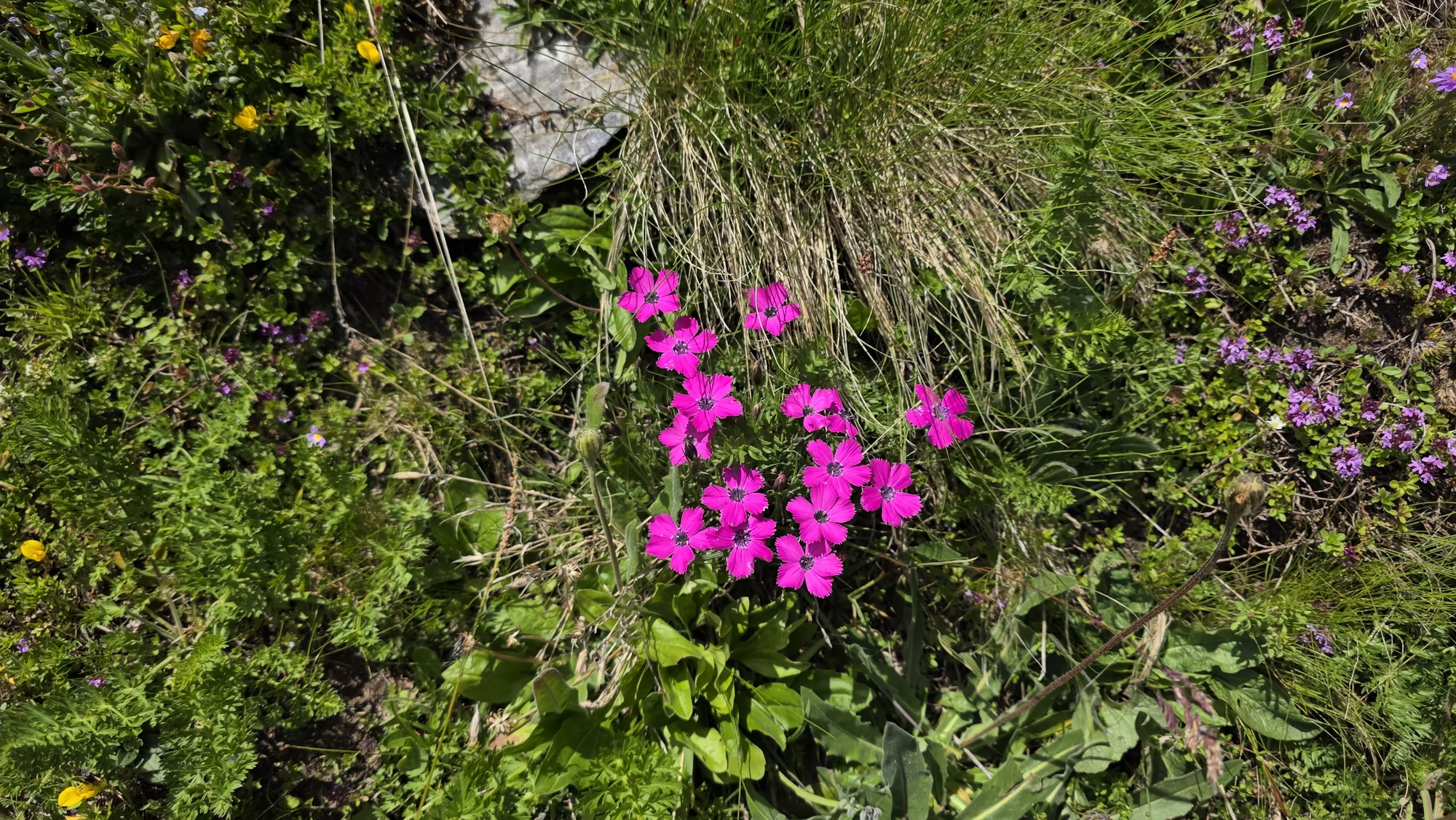
Where the ground levels, the alpine wildflowers return in force. Gentians stand thick in the turf, together with buttercups, milkwort, and the pale yellow flowers that grow in mats on the high ground. In places the blooms form a carpet, dense and bright, so that the path is bordered with colour for long stretches. The hay meadows of the valley are cut late and once only, and the plants that survive the scythe are the ones that flower above the blade or seed before it comes.
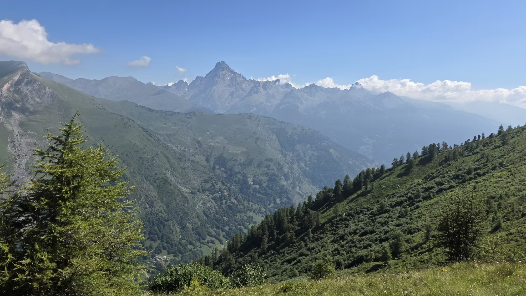
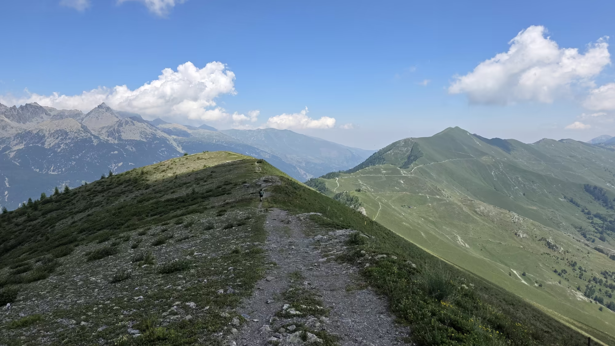
Further on, a hiker moves alone along the ridge trail, small against the scale of the ground, the only figure in a wide landscape. Beyond the ridge a deep valley opens, and in the distance stands a solitary peak with the clean shape of a pyramid, dark against the pale sky. The trail turns away from it and begins the last descent toward Elva, whose roofs are not yet in sight but whose church bell can be heard on the wind when it rings.
The Road of the Lost Villages
The trail runs on beneath a rocky summit, and the forested hillside below is dotted with alpine huts, some still in use, some fallen in. These are the grange and the arberc of an older economy: the low hay barn on the distant meadow, the summer chalet on the high pasture, both built against the slope so that the winter avalanches pass over them rather than through them. The walls are thick, the openings few, and the roof is still of lose.
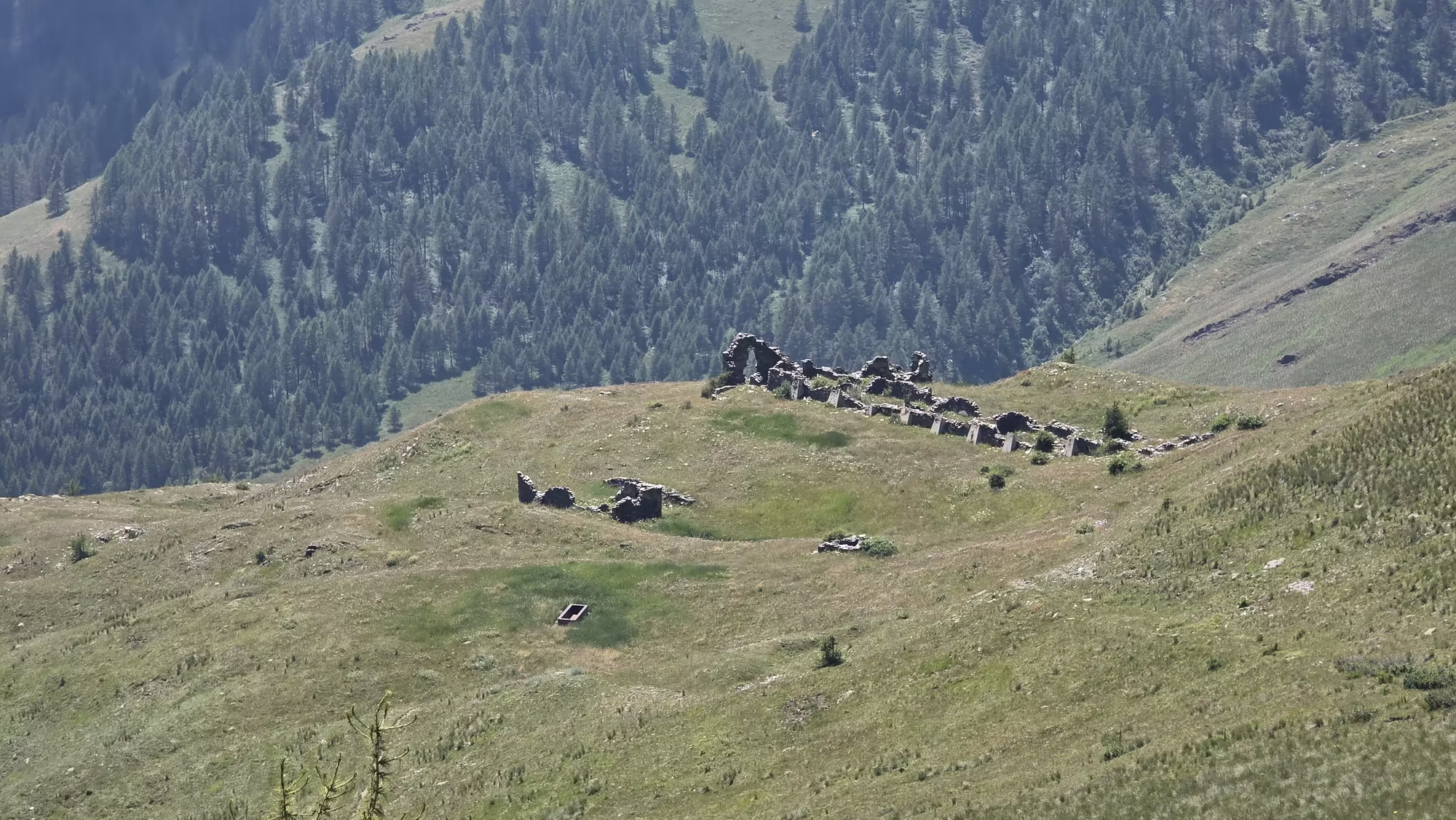
On a grassy ridge above the path stand ruined stone walls, the remains of a settlement left to the weather. Terraces run along the slope beneath them, built by hand from stone cleared from the fields, and now grown over with grass and scrub. This is the pattern across the whole of the Valle Maira: hamlets that were inhabited within living memory and are now roofless, their fields gone back to pasture, their names kept alive only on maps and in the memory of the families who left. The depopulation came with the loss of the herding economy and the pull of work in the towns of the plain.
Crossing this ground, the route meets an old military road that follows the watershed between the Maira and the Varaita. It was built by the Piedmontese army to move guns and supplies quickly between the valleys, a broad track graded for wheels where the mule paths could only take hooves. The fighting it was built for never came, and the track remains as a fine, open way along the ridge, its stone parapets crumbling and its guns long gone.
Elva, the Eagle’s Nest
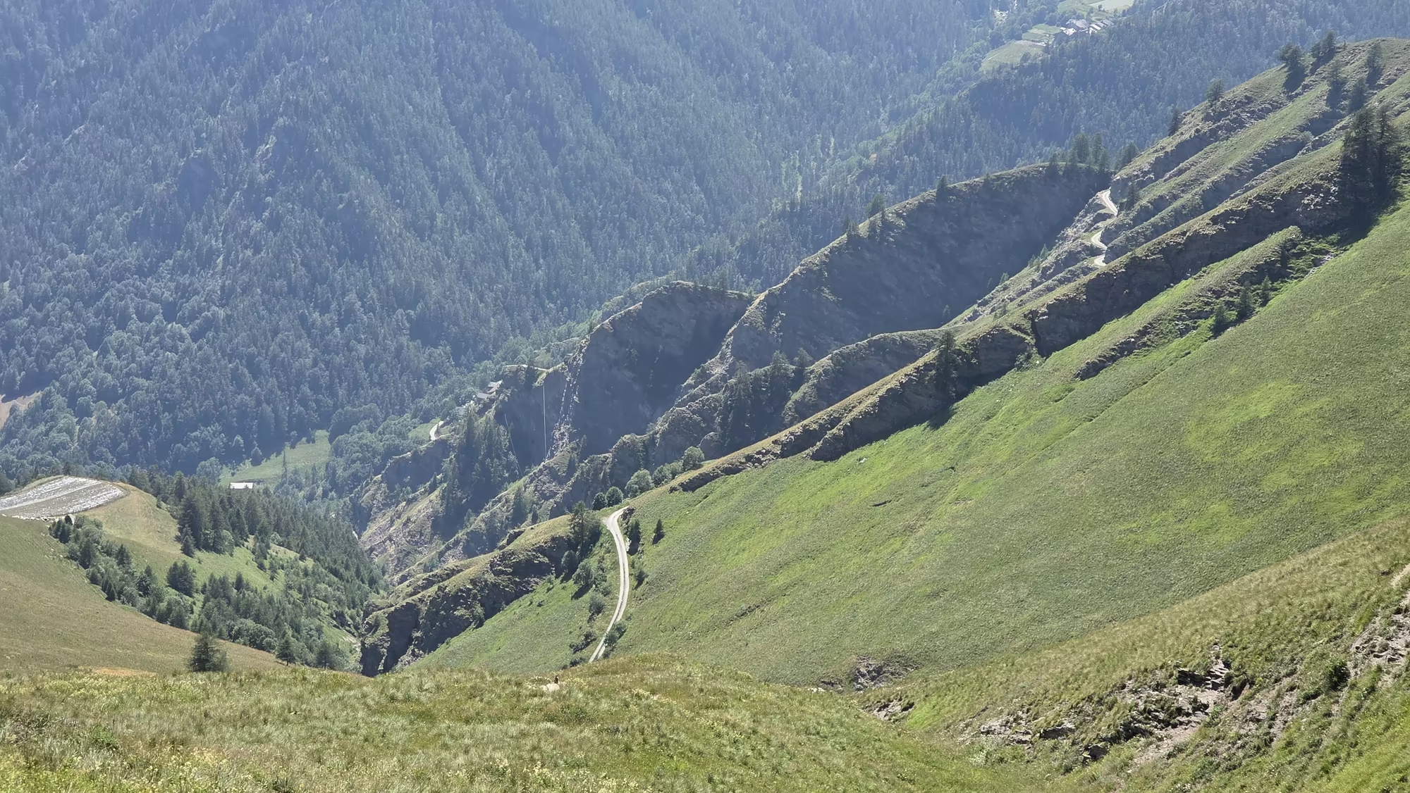
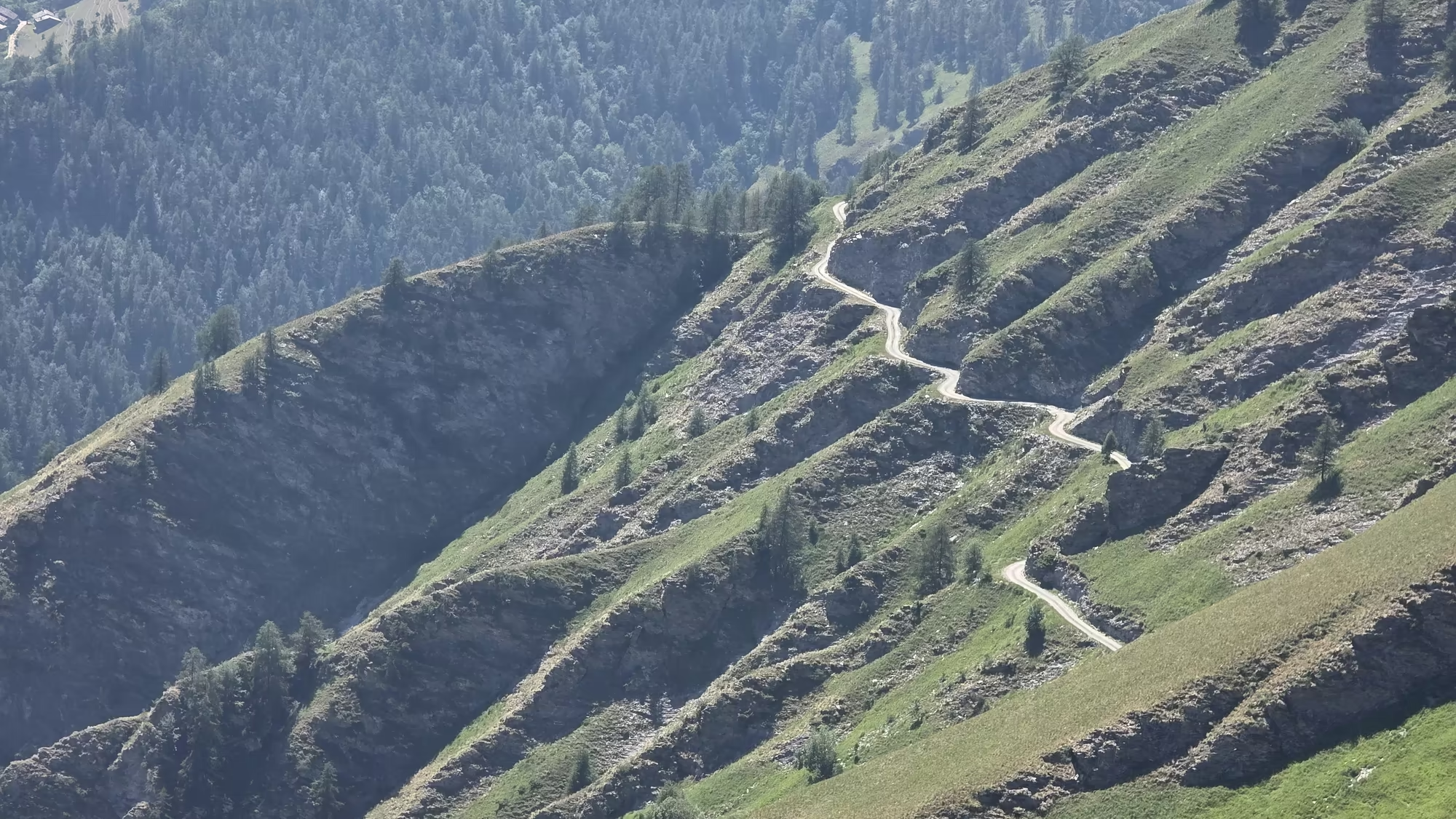
Elva lies in a green basin high in the Valle Maira, ringed by peaks and reached only by a road that winds a long way up through gorges and around the shoulders of the mountains. The approach by trail is better, though the switchback path on the striated slope above the valley is steep and slow. From the last rise the village appears all at once, a tight group of stone roofs gathered around its church, with shuttered houses climbing the slope behind it and hay meadows running down to the stream.
The parish church is the reason Elva is known far beyond its own valley. Inside, a great cycle of frescoes covers the walls, the work of a Flemish painter who came up from the court of the Marquises of Saluzzo and who is remembered, for this commission alone, as the Master of Elva. The paintings tell the stories of the Virgin and of Christ, and the Crucifixion that fills the back wall is among the finest things of its kind in the western Alps. That a village so small and so hard to reach should hold such a work says much about the wealth and the faith of the communities that once lived here.
Time has not been kind to Elva, and most of the hamlets that belonged to it are now empty. What has kept a life in the village is the walking. The GTA passes through, and the arrival of walkers in the warm months has brought a slow return: a few families back in the old houses, a place to sleep, a kitchen open in summer, the church unlocked for those who climb up to it. In the long meadows the cattle and the sheep still come up to the high pasture, and the marmots still whistle from the scree above. Toward evening the valley fills with a clear gold light, and Elva sits in the middle of it, small and quiet.