Day 10 - Coral Bay / Ningaloo Reef






















Journal Notes
General
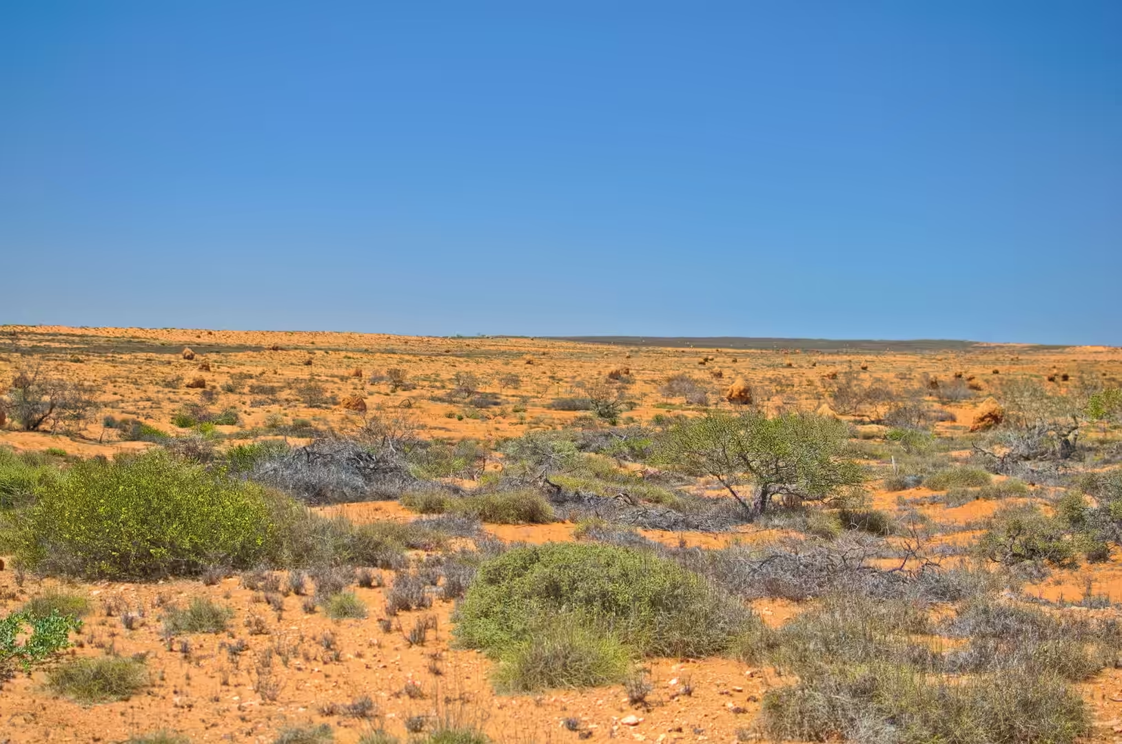
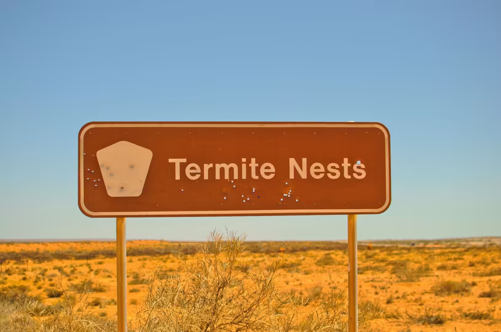
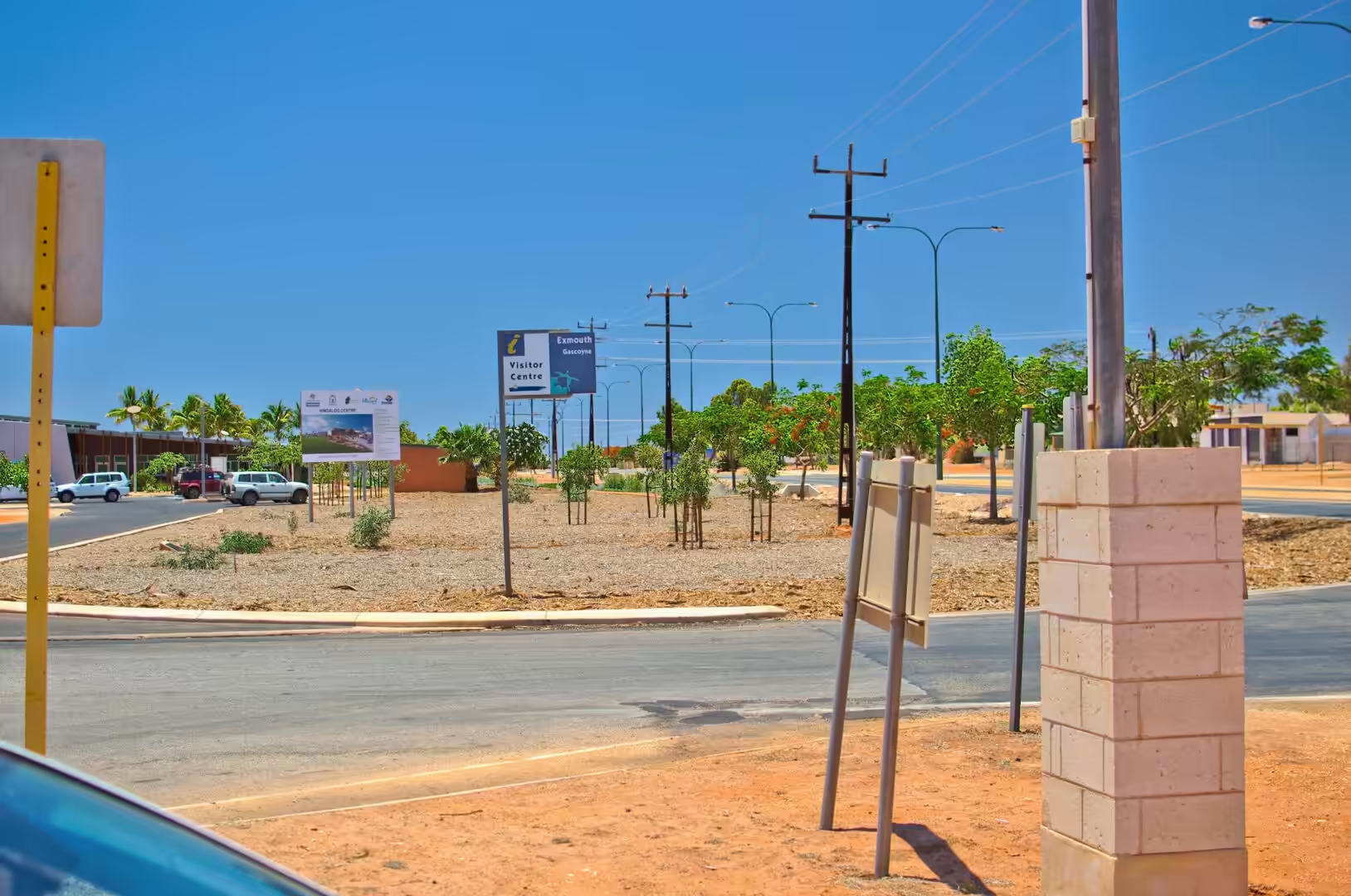
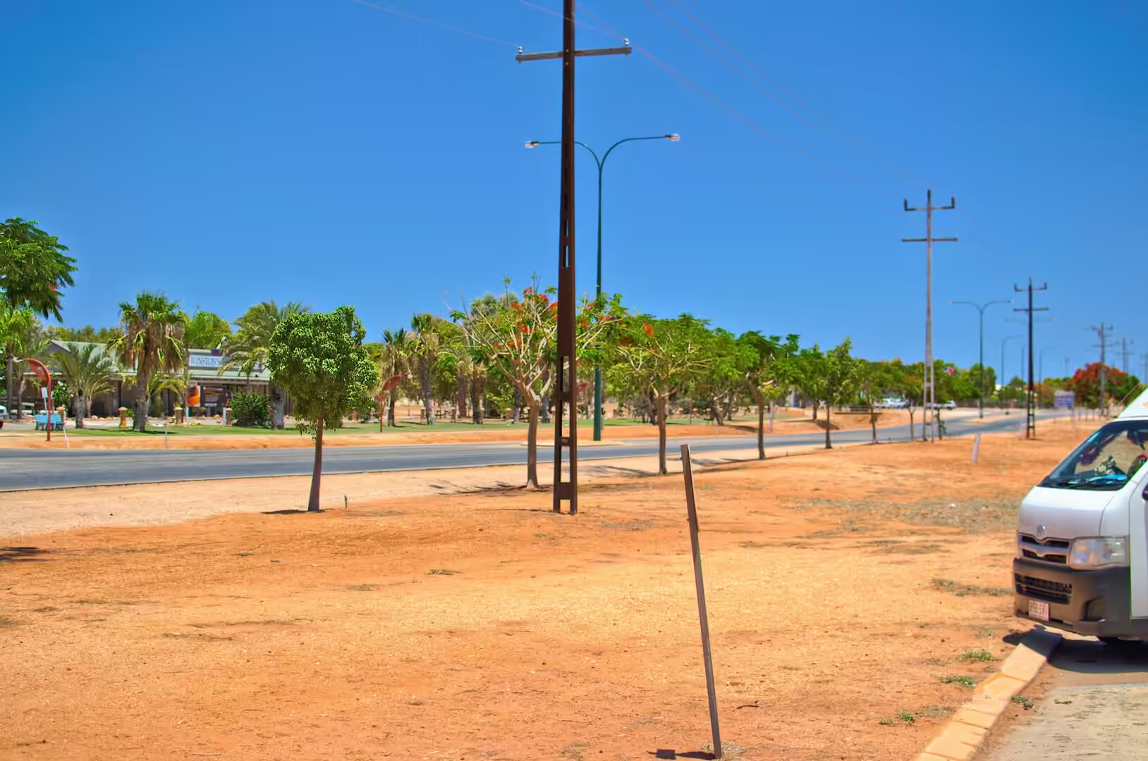
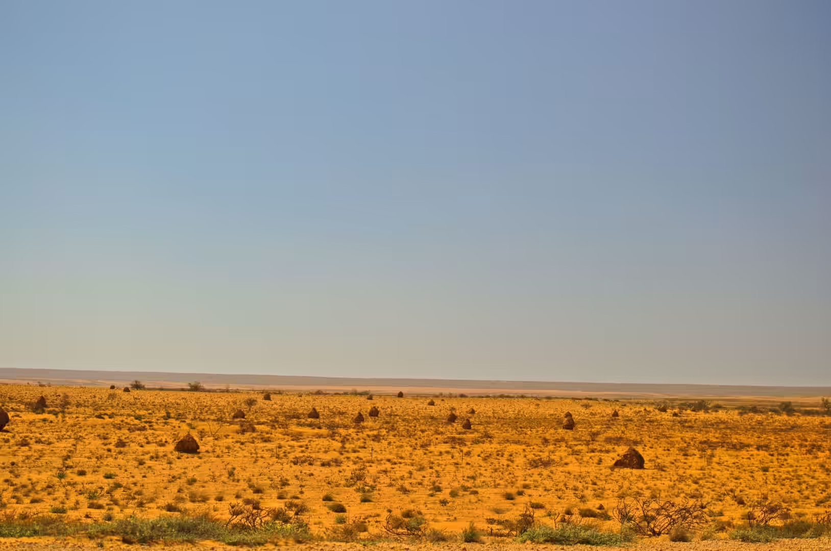
The tenth day was the long drive north from Coral Bay to the tip of the North West Cape, and it is the day the country changes character. The red plain of the Gascoyne gives way to a spinifex landscape with dark outcrops standing in it, the road signs change from kangaroos to termite nests, and the settlements become smaller and further apart until the turn off at Exmouth, where a blue gateway sign stands over a red gravel street lined with palms.
Exmouth is a company town that learned to be a holiday town. Its streets are wide, its houses are low, and everything about it suggests a place that was laid out on a drawing board in the 1960s, which is exactly what it was. The reason it exists is thirty kilometres further north, where a forest of radio masts marks the naval communication station, and the reason visitors come is on the other side of the peninsula, where the reef begins.
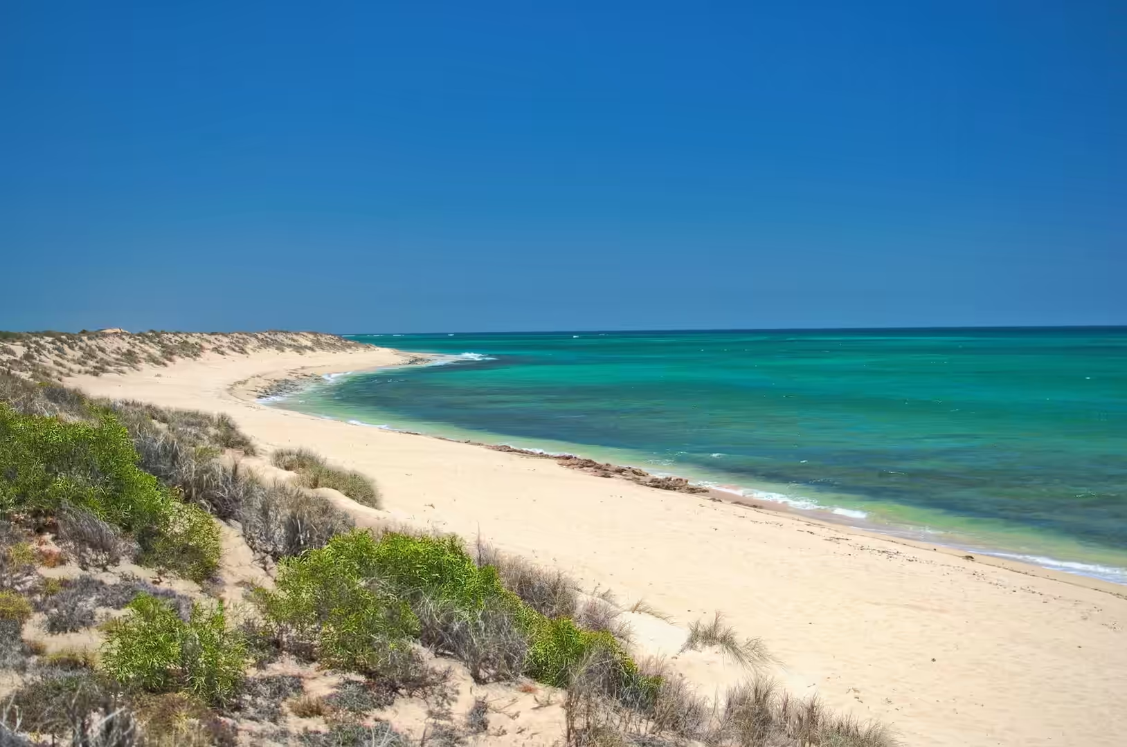
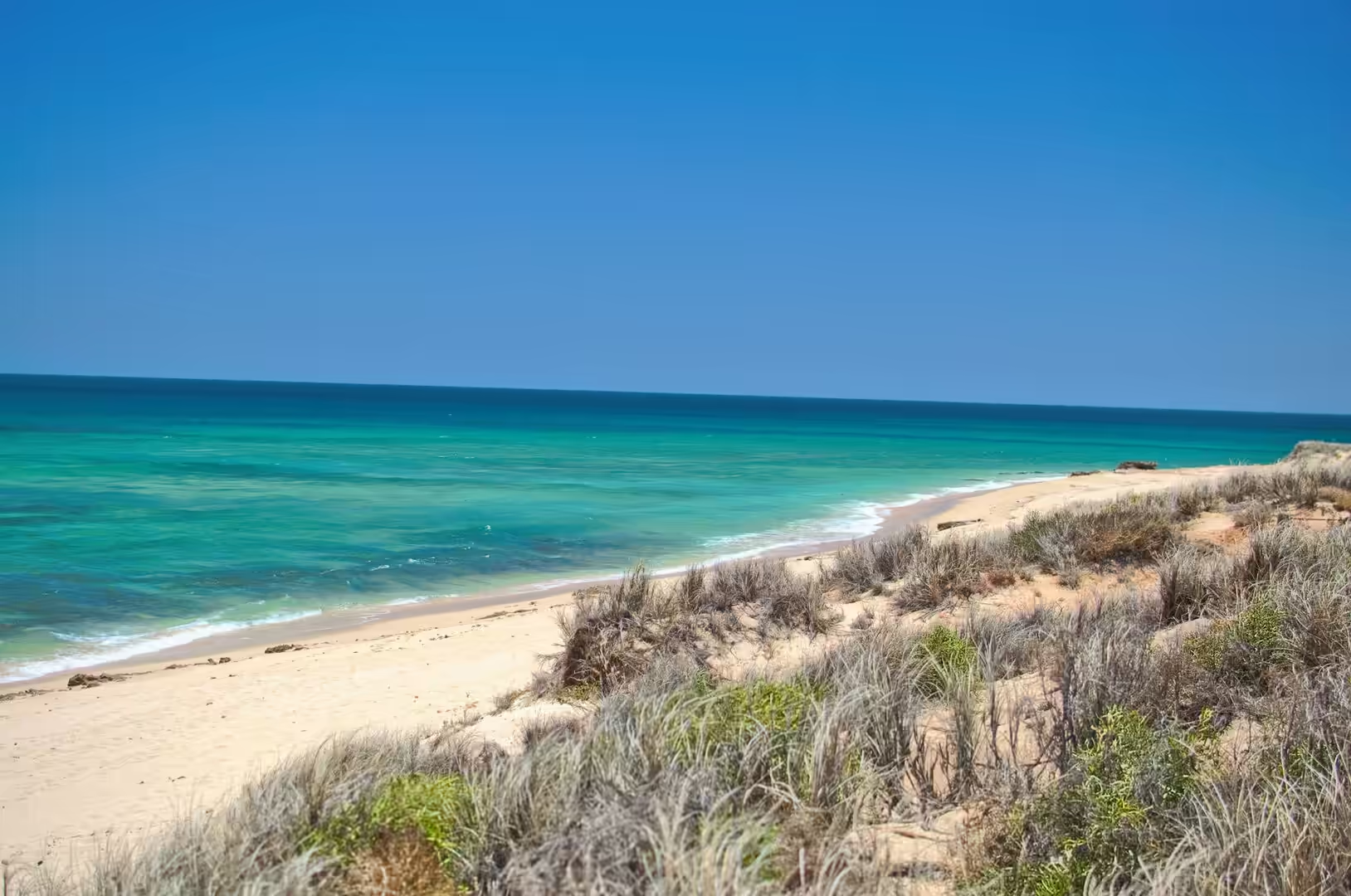
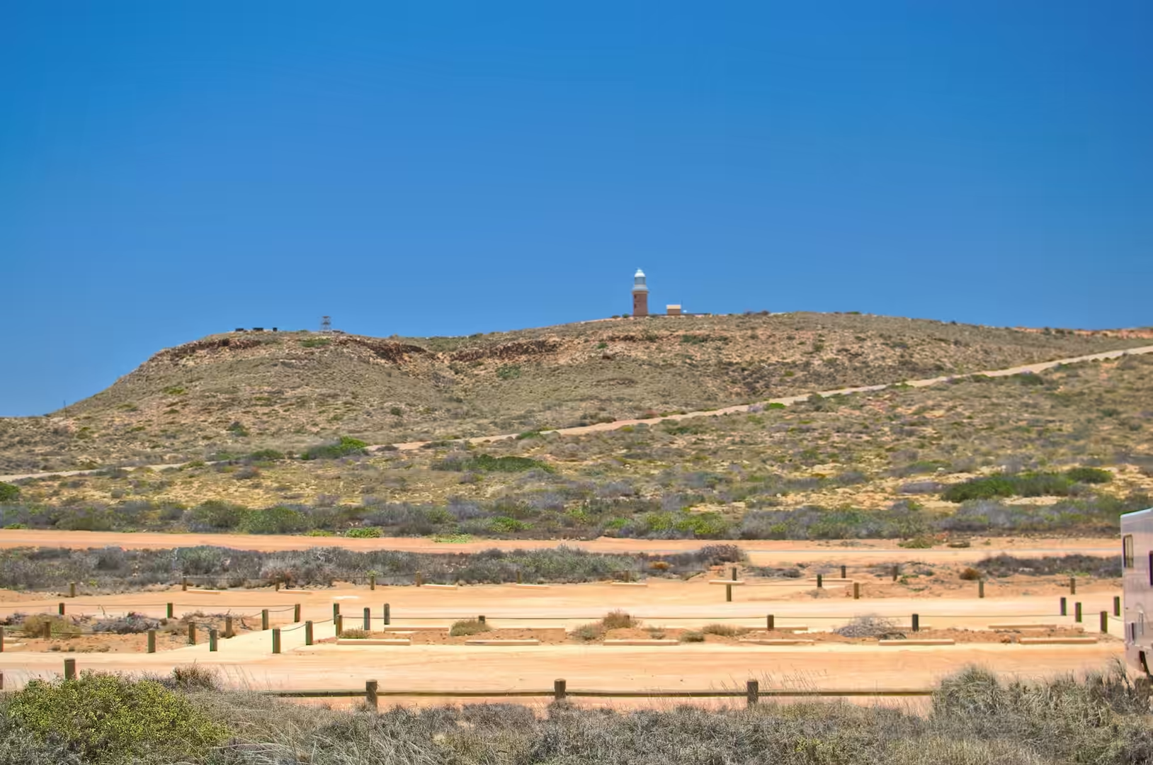
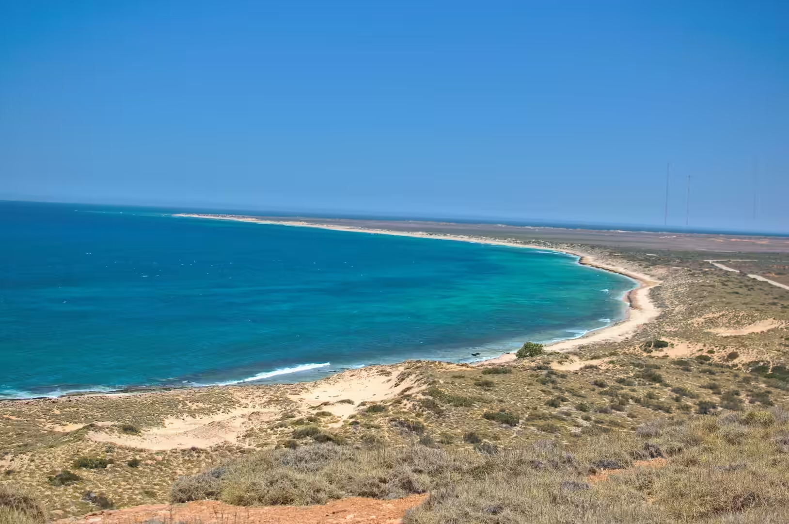
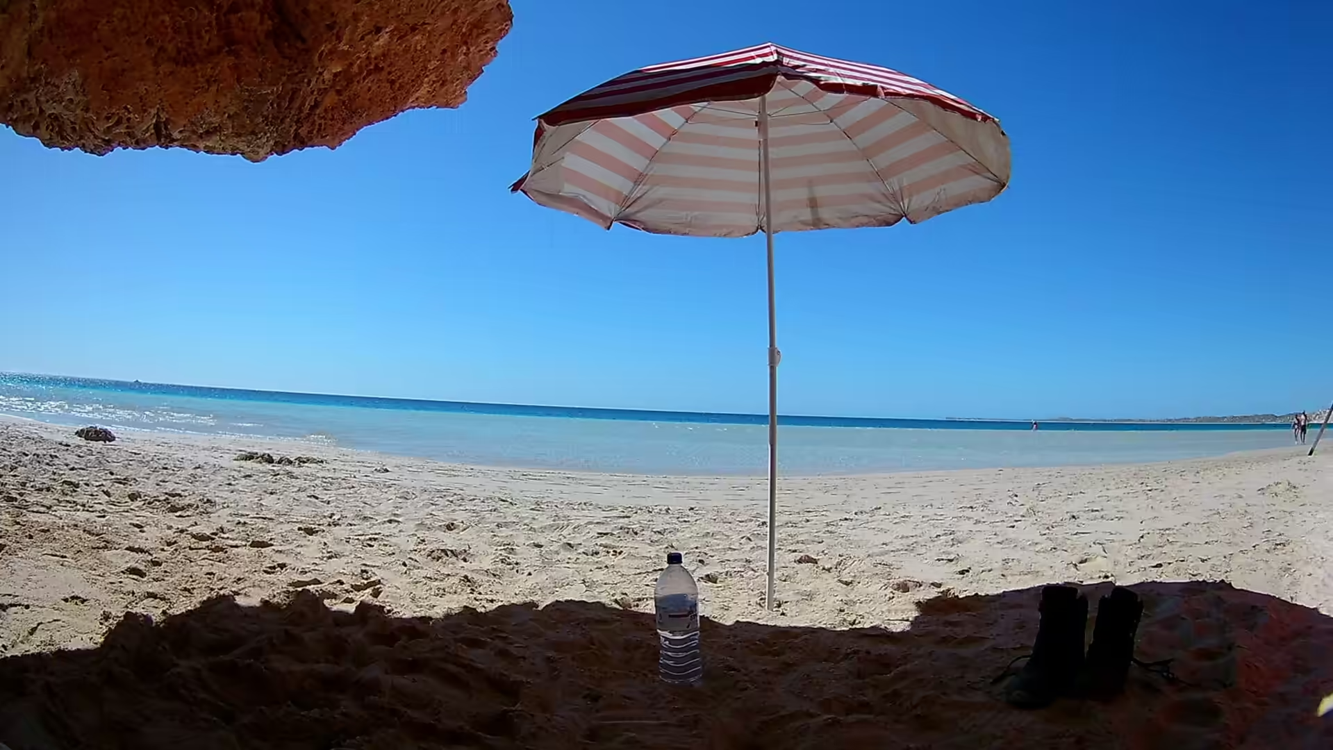
The afternoon was spent exploring the Cape Range side of the peninsula. The road climbs through a red limestone country of dry spinifex and low scrub, passes a white lighthouse standing on a scrubby hill above the plain, and drops into a series of canyons cut into the plateau, where caves open in the cliff faces above white beaches. From a cave mouth the view is of turquoise water, sand and the dark line of the reef, and the colours are so strong that the scene looks lit from below.
The heat on the drive is its own subject. The air conditioning in the car runs at full power from nine in the morning, the water bottles are refilled at every stop, and the passenger’s job includes watching the temperature gauge and the fuel gauge with equal attention. Roadhouses appear every hundred kilometres or so and their signs advertise fuel, ice and a public telephone, which is the honest inventory of what is available. Driving this stretch is not difficult, but it requires a certain discipline: start early, carry more water than seems necessary, and never pass a fuel stop without checking the tank.
History
Exmouth was established in 1964 to support the United States Naval Communication Station Harold E. Holt, which was commissioned three years later, and its existence is inseparable from that decision. The station was built to communicate with submarines at very low frequency, its antenna array covers a large area of the cape, and the town was laid out to house its Australian and American staff. When the visitors arrive and ask why a place this remote has a four lane main street and a proper hospital, the answer is the navy.
The defence history of the cape goes back further than the town. After the Allied retreat from Java in March 1942, the navy needed a forward base on the west coast from which submarines could be supplied and sent out, and the sheltered water of Exmouth Gulf was chosen for it. Fuel, stores and a repair facility were installed on the gulf, and the base operated for the rest of the war. The wreck of the United States submarine that gave its name to the modern station is remembered in the town’s small museum, and the airstrip at Learmonth, which now serves the region, began as a wartime airfield.
The coast itself has been protected in stages. The national park on the western side of the cape was set aside to preserve the limestone ranges, the gorges and the beaches, and the marine park protects the reef and the lagoon between it and the shore. In 2011 the area was inscribed on the World Heritage list as the Ningaloo Coast, in recognition of the reef’s position immediately against the land, its corals and its population of whale sharks, and the listing is the reason the towns here are careful about what they build.
The whale shark industry that now dominates the season in Exmouth grew out of research rather than tourism. The animals were known to fishermen and divers for decades before the first commercial tours began, and the rules that govern the interaction, one boat per animal, limited numbers of swimmers, no touching and no blocking the shark’s path, were written with the advice of the scientists who had been studying them. The result is a wildlife industry that pays for the conservation of the species it depends on, which is not a common arrangement, and it has become the economic mainstay of the town in the months from March to July.
Geology
Cape Range is the only elevated limestone plateau on the north west coast of Australia, and its shape is the result of a straightforward sequence of events. Limestone was laid down in a shallow sea along the edge of the continent, the sea floor was lifted up in a series of movements, and the plateau that emerged was then cut into by wind and water. The result is a range of rugged limestone with canyons on its western side, plateaus rising to about three hundred metres, and a coastal plain between it and the sea.
The canyons are the most dramatic product of that erosion. Streams that flow only after rain have cut down through the limestone along lines of weakness, leaving gorges with vertical walls, caves in their sides and pools at the bottom. Some of them are dry for most of the year, some hold water all year, and all of them hold evidence of the long human history of the cape in the form of rock shelters used for thousands of years. The caves also hold water in another sense: the limestone is porous and the plateau stores fresh water in it, which is why the coastal plain can support vegetation at all.
The reef lies immediately offshore, which is the geological oddity that made the area famous. Most of the world’s large reefs stand far out to sea, separated from the coast by deep water or long distances. Ningaloo is a fringing reef, growing along the edge of the continent, with a lagoon between it and the beach that is shallow enough to wade in and a reef crest close enough to swim to. The reason is the shape of the shelf and the aridity of the land: with almost no rivers delivering sediment to the coast, the water stays clear enough for coral to grow within reach of the shore.
The materials of the peninsula are carbonate and iron. The limestone is the remains of ancient reefs and dunes, the red soil is quartz sand coated with iron oxide, and the beaches are a mixture of both, which is why the sand varies from blinding white to pink and orange within a few kilometres. Behind the beaches the dunes are fixed by spinifex and scrub, and behind them the plain rises to the plateau. The whole peninsula is a study in what happens when an old sea floor is lifted into a dry climate and left to the wind.
The caves of the cape are part of the same limestone system and they are worth a look for the geology alone. Water moving through the rock along joints has dissolved it and left cavities, some of them small holes and some of them chambers with stalactites and stalagmites, and the same process has produced the freshwater lenses in the plateau that the towns draw on. Walking into a cave mouth on a hot day and finding cold air coming out of the ground is a practical demonstration of how the rock behaves, and the fact that the caves have been used by people for thousands of years is a reminder that the geology and the human history of this coast are the same subject.
Things to See
The drive itself is the first attraction of the day and takes most of the morning. The road north from Coral Bay crosses the Tropic country, passes the termite mounds that the signs point out, and runs beside the coast for the last stretch with the reef visible as a line of white water. Fuel and supplies need to be taken seriously: there is a roadhouse or two on the way, but the next substantial town is Exmouth, and the last stretch has no facilities at all.
Exmouth is worth an hour for its own sake. The visitor centre explains the reef, the station and the national park, the main street has a bakery and a small supermarket, and the lookout on the hill gives a view over the gulf on one side and the cape on the other. The town is also the base for the whale shark tours, which run out of the marina in season, and for the fishing charters that work the gulf.
The national park on the western side of the cape is where the day ends. The road down from the plateau passes Yardie Creek, where a short walk leads to a gorge with water in it and rock wallabies on the cliffs, and continues to the beaches, each with a car park, a toilet and nothing else. The limestone cave above one of these beaches is a good place to sit out of the sun and look at the water, and the water itself is the reason the cape has a national park at all.
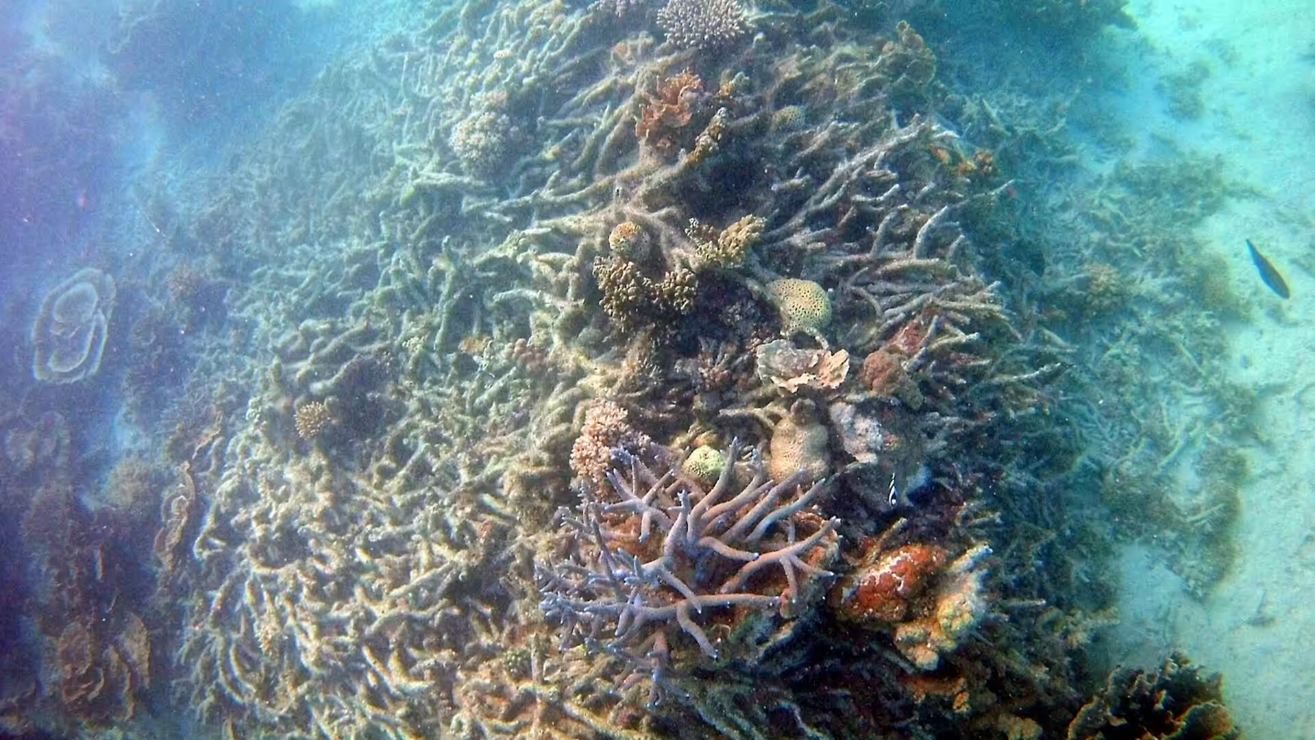
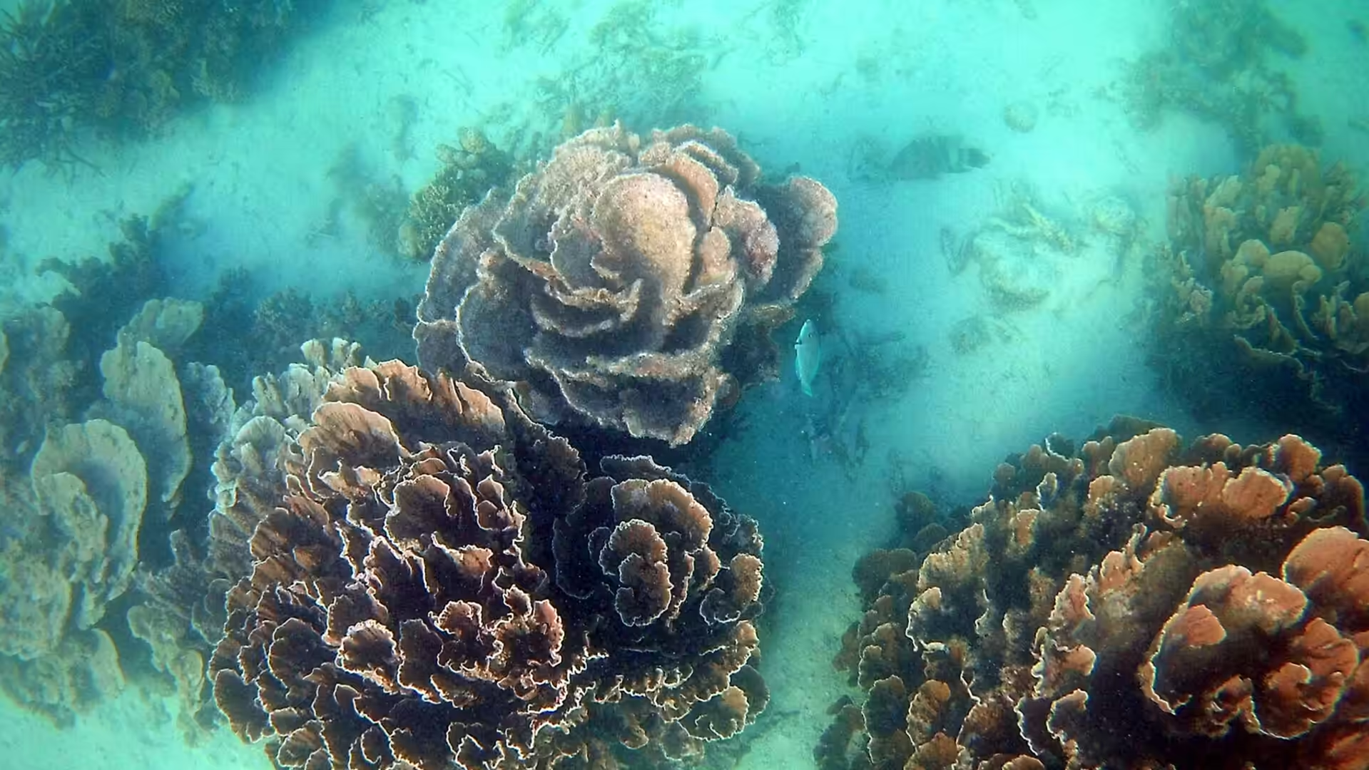
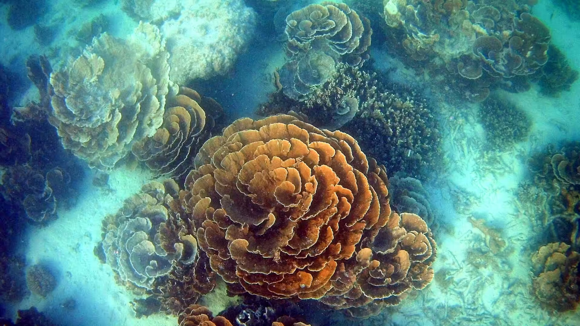
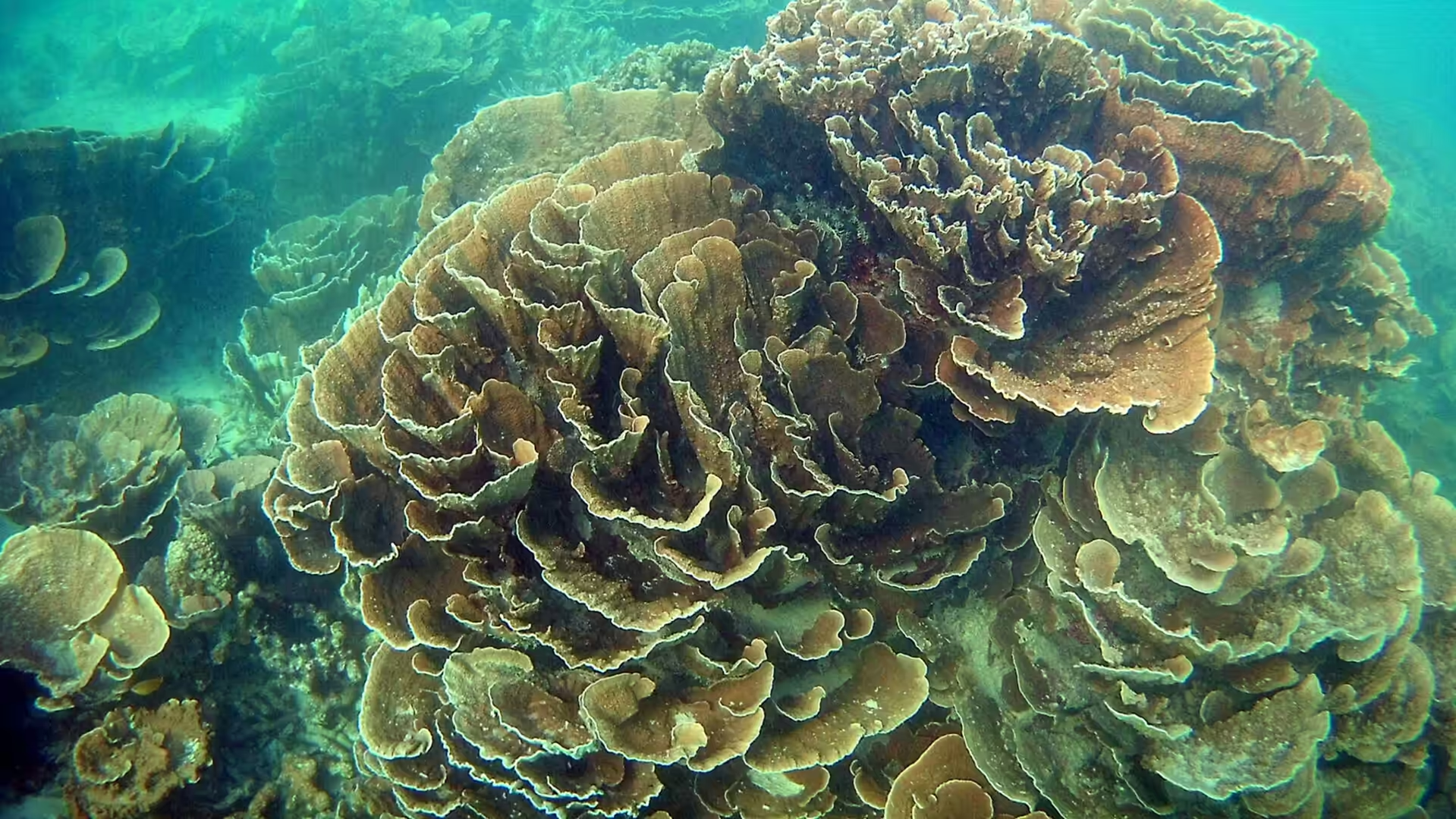
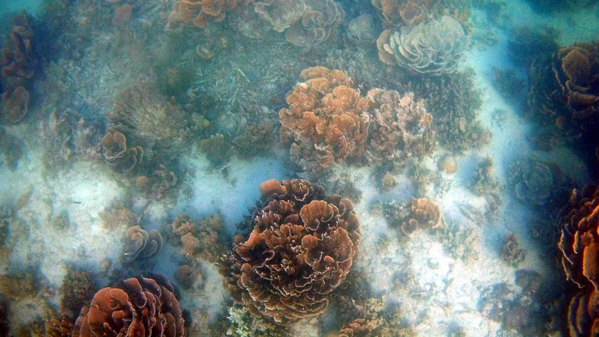
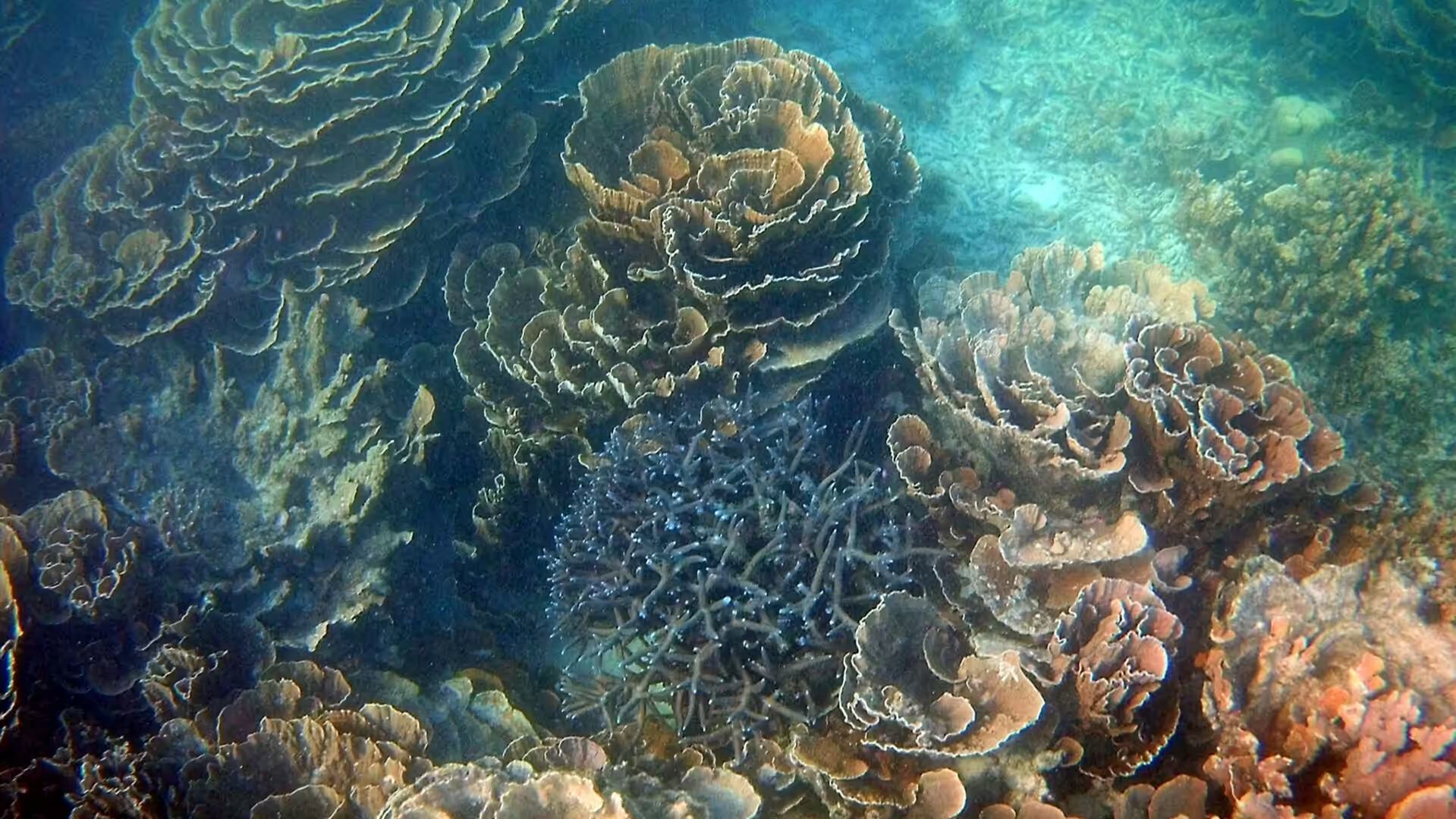
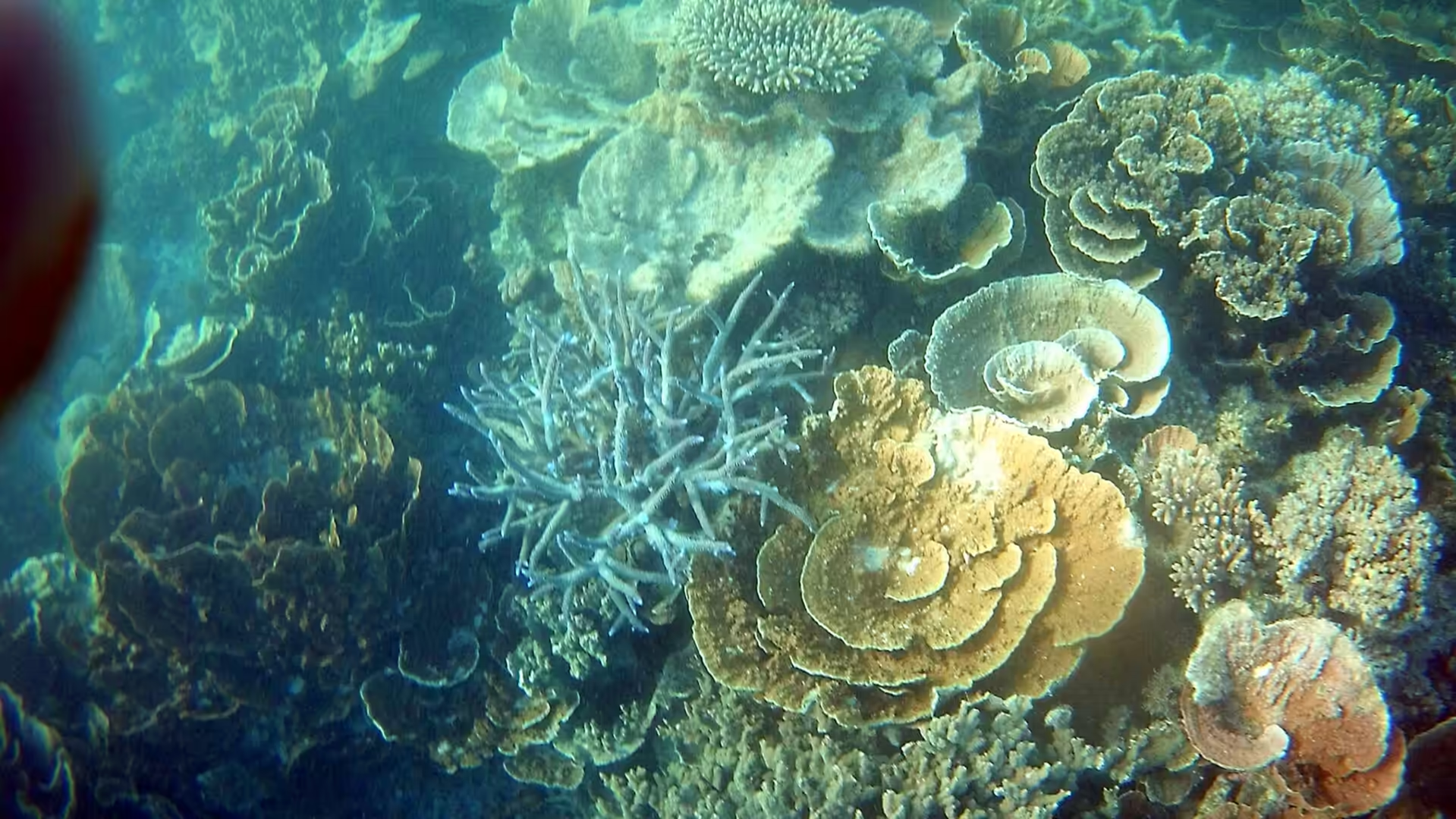
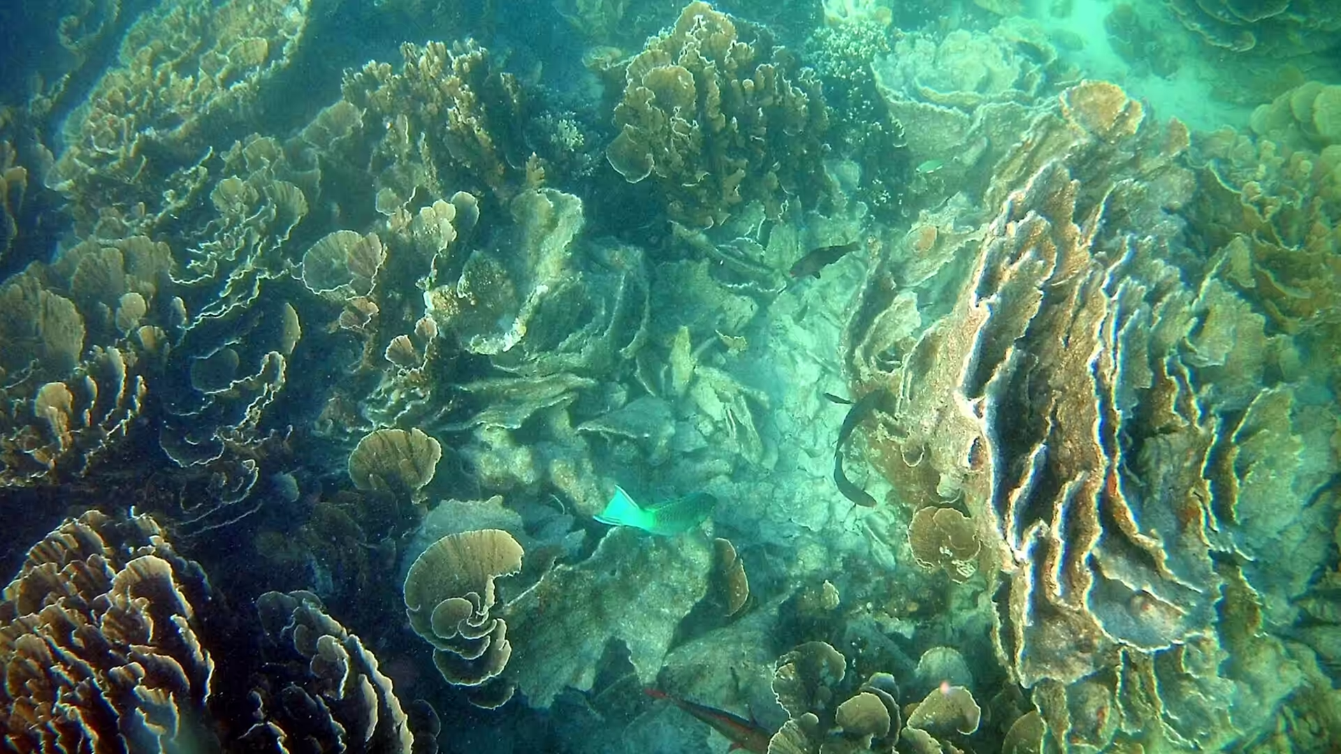
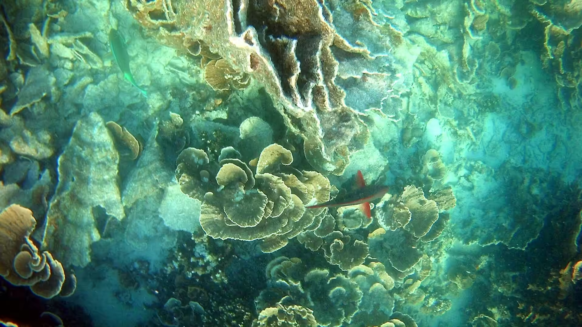
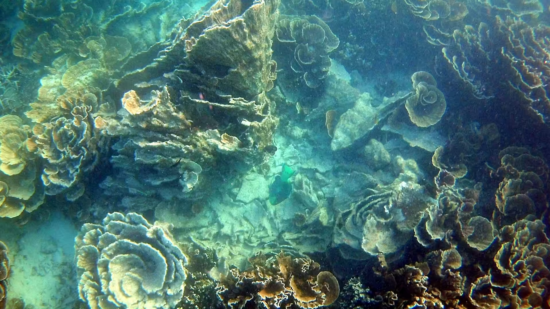
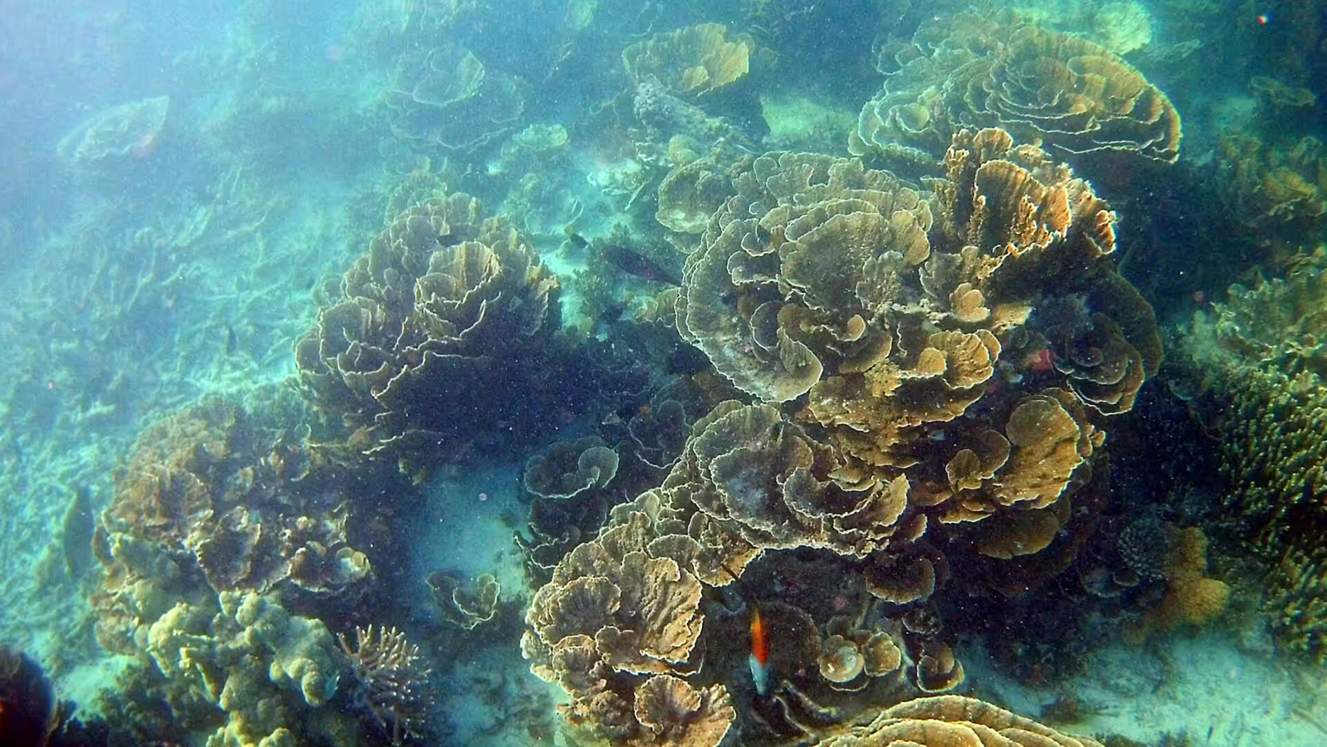
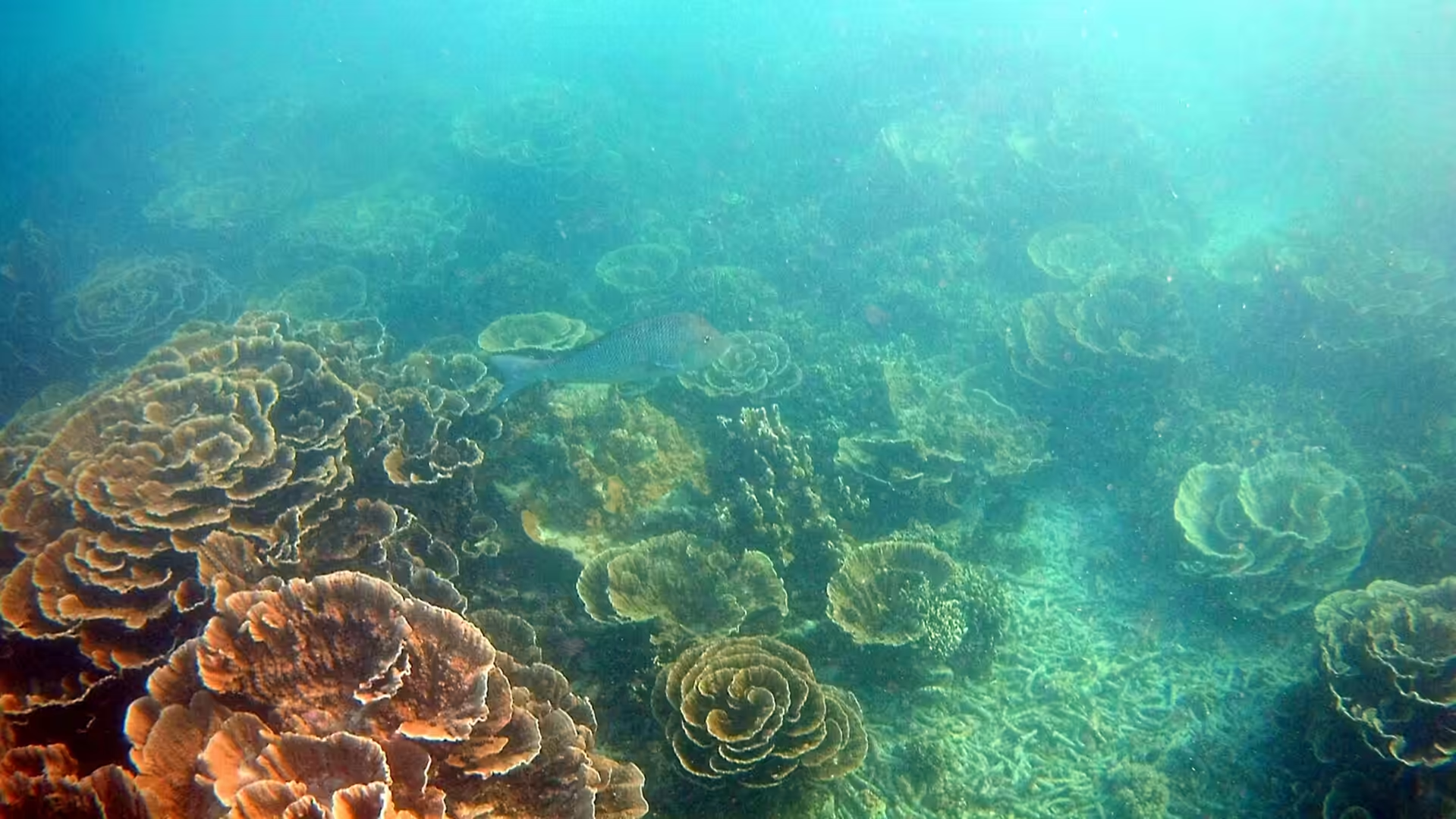
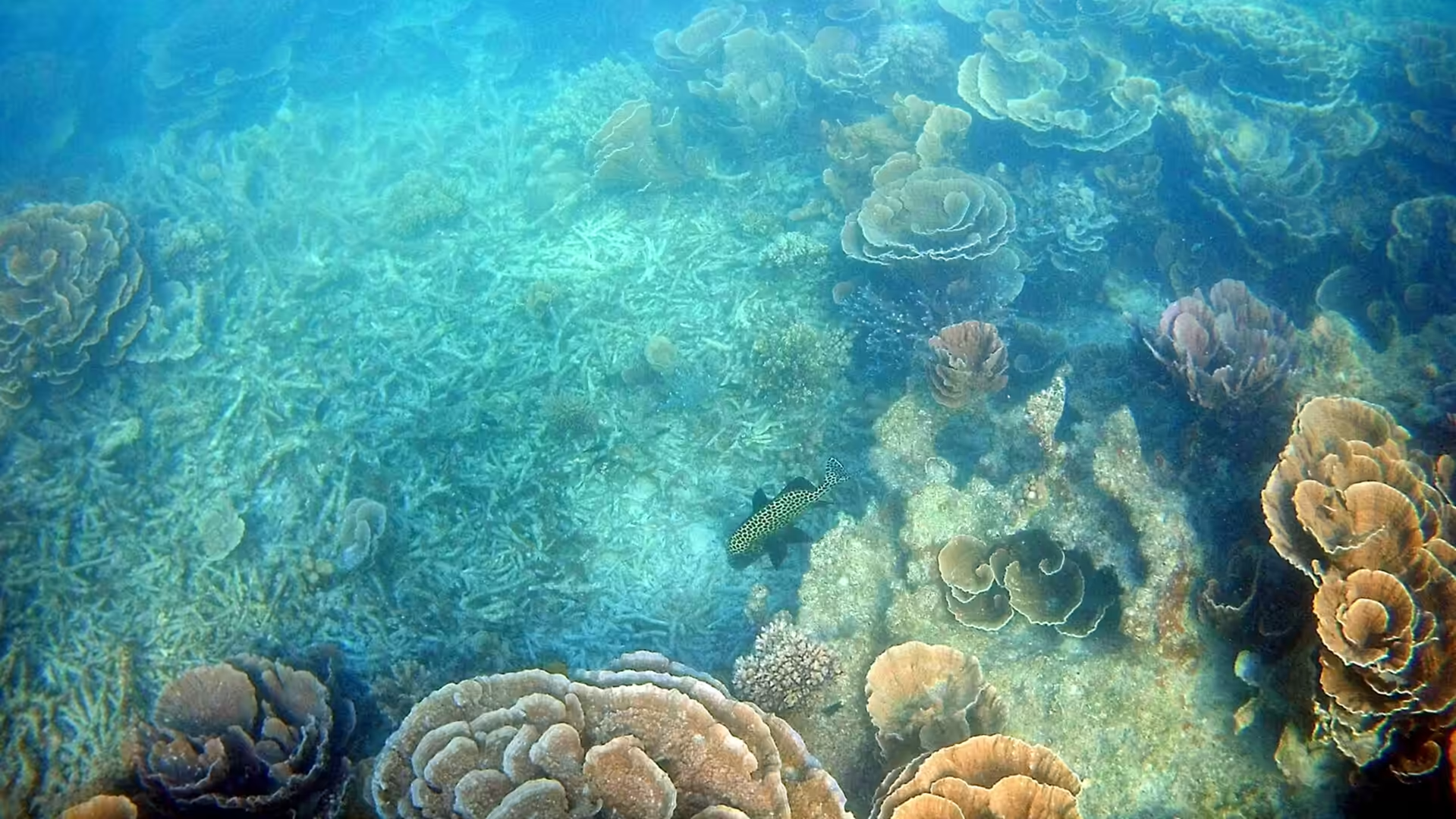
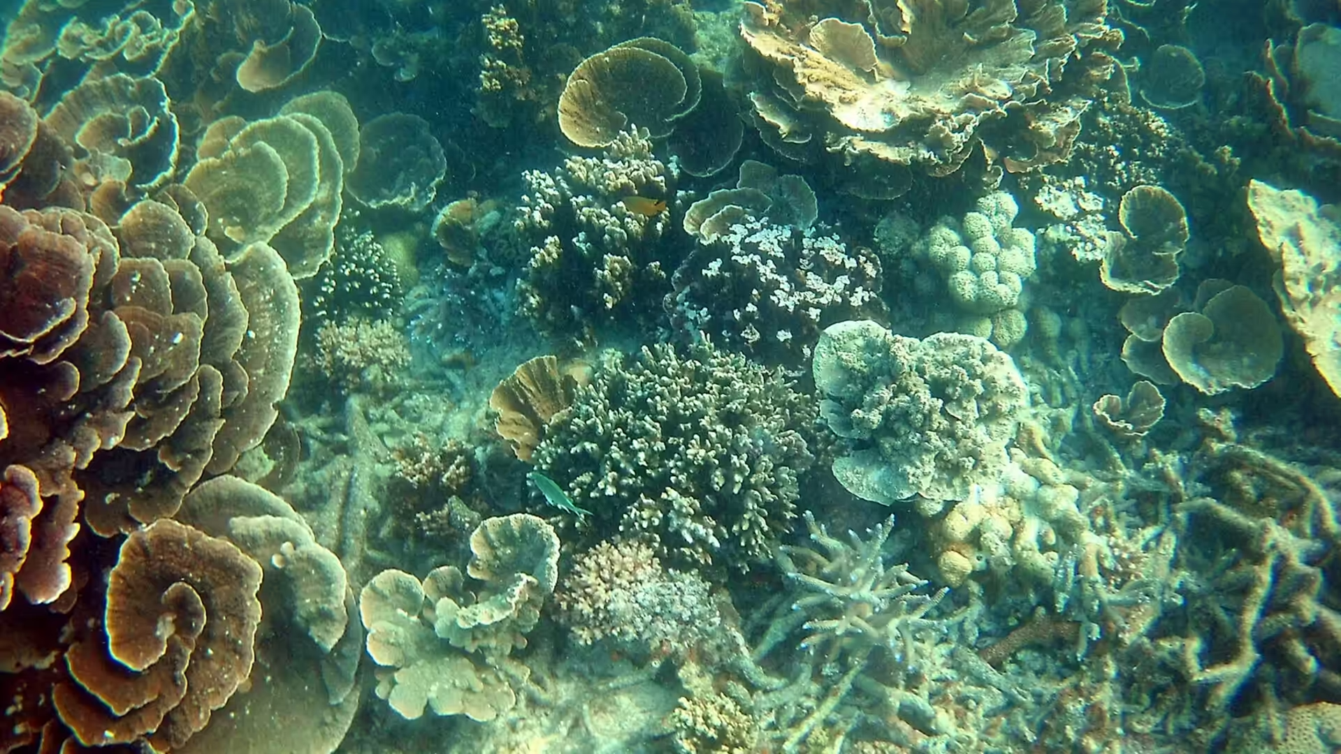
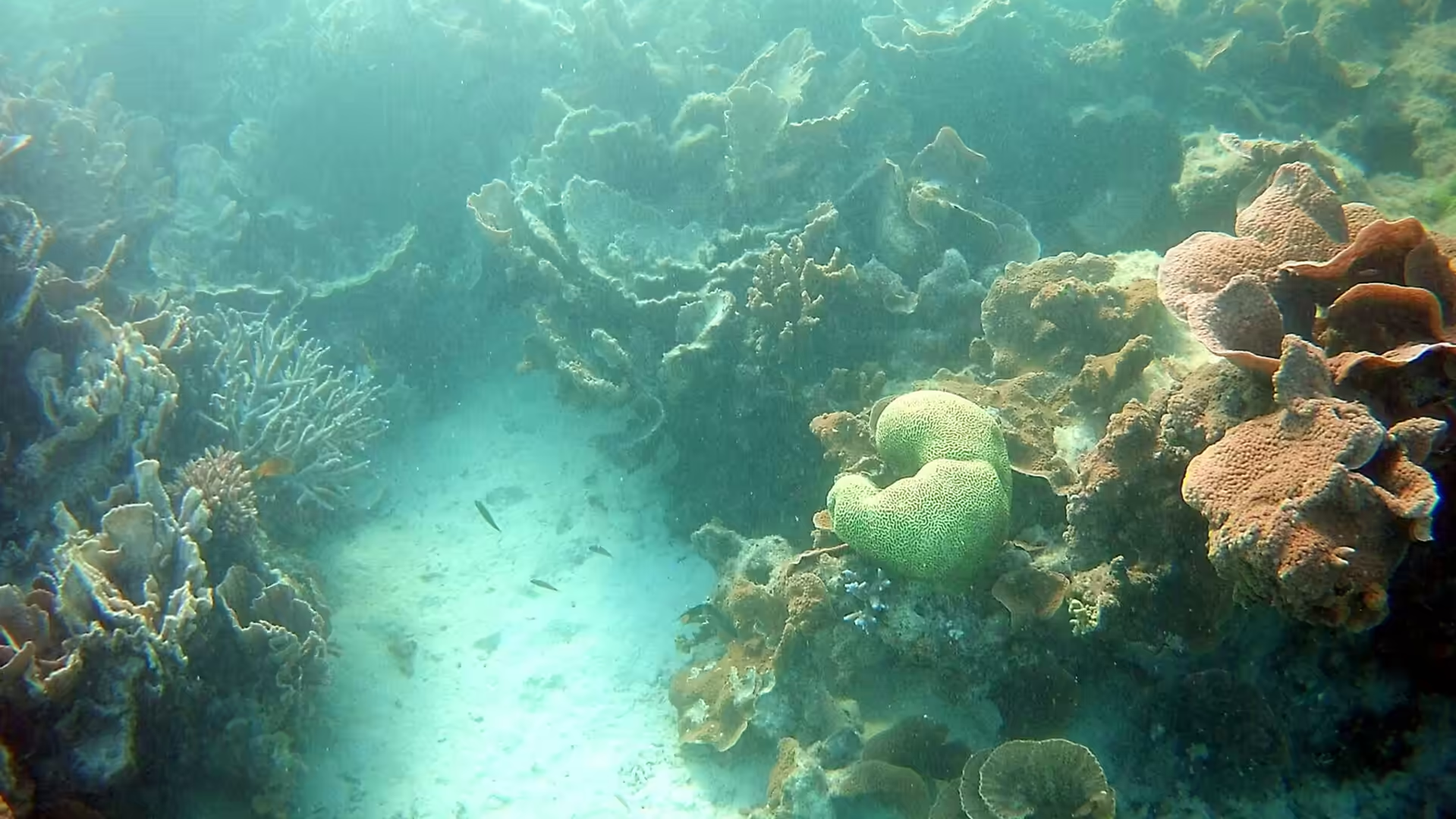
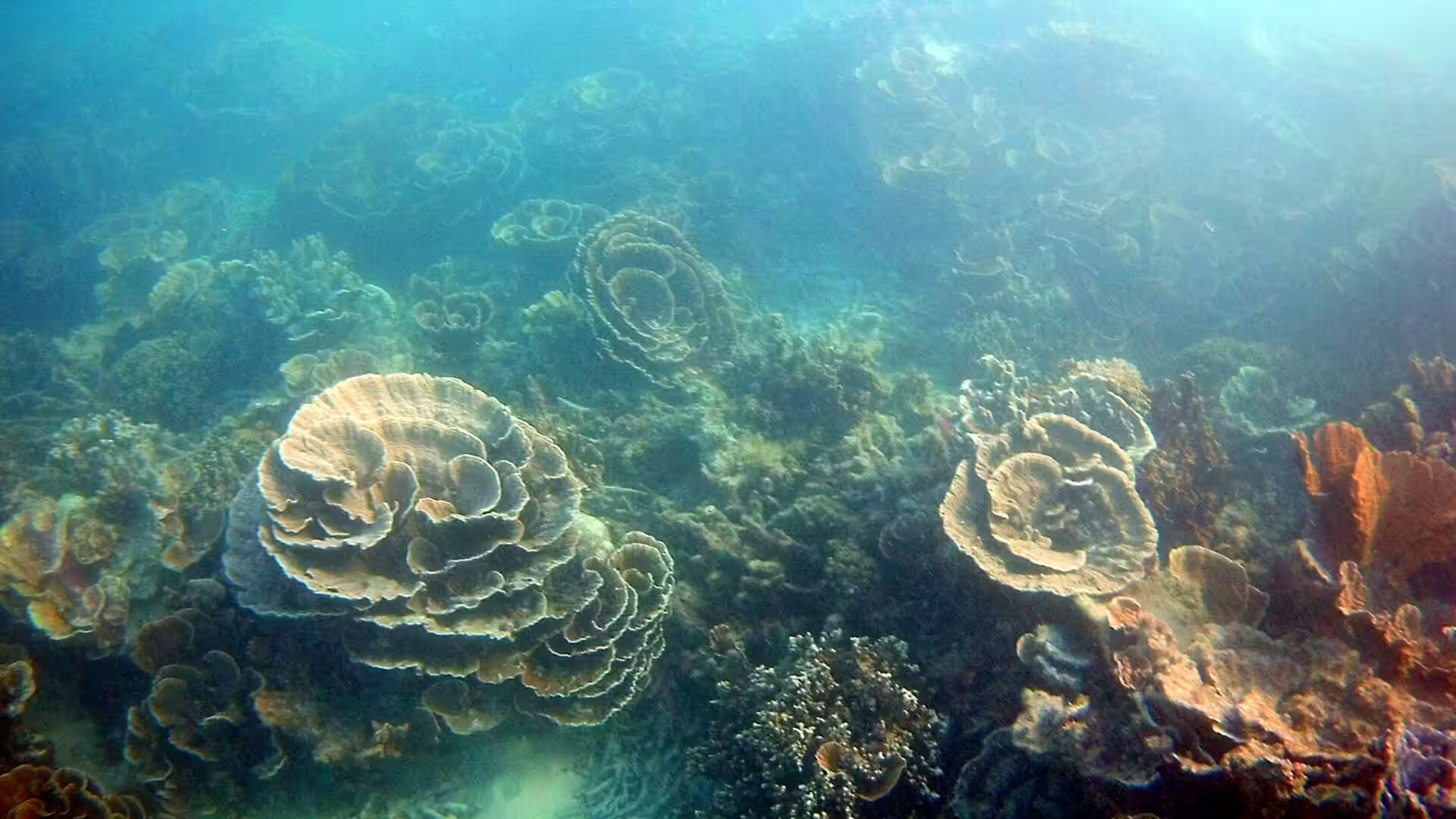
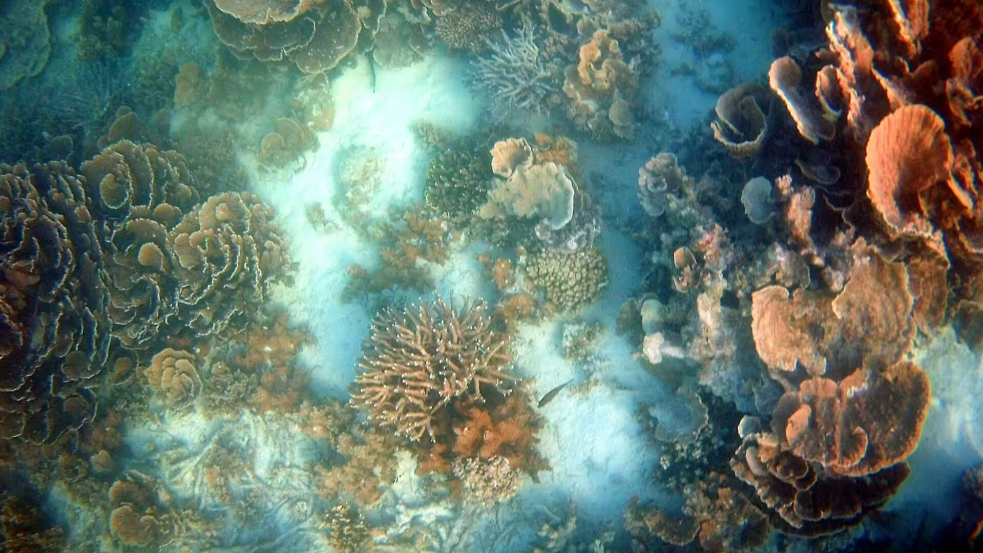
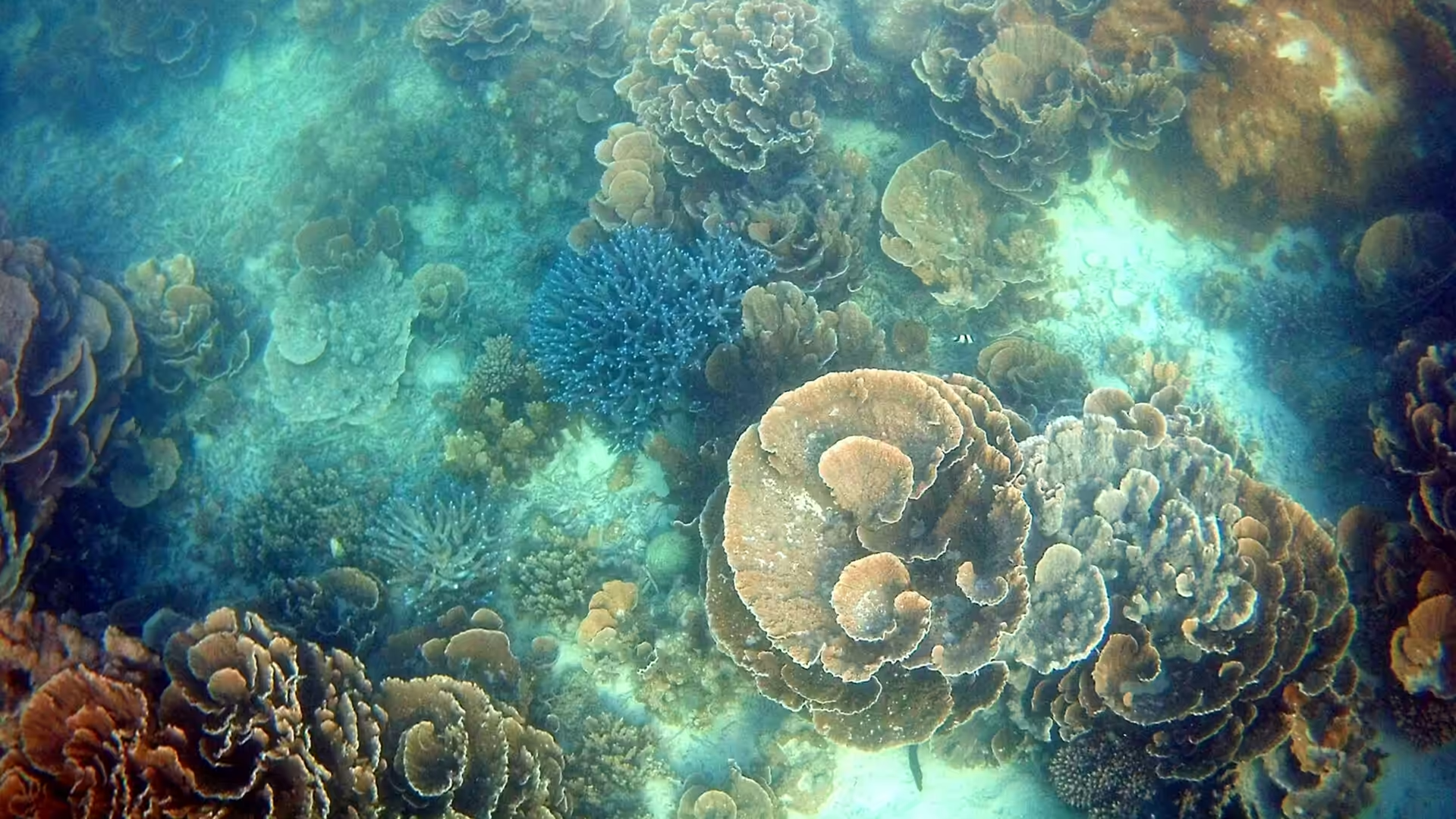
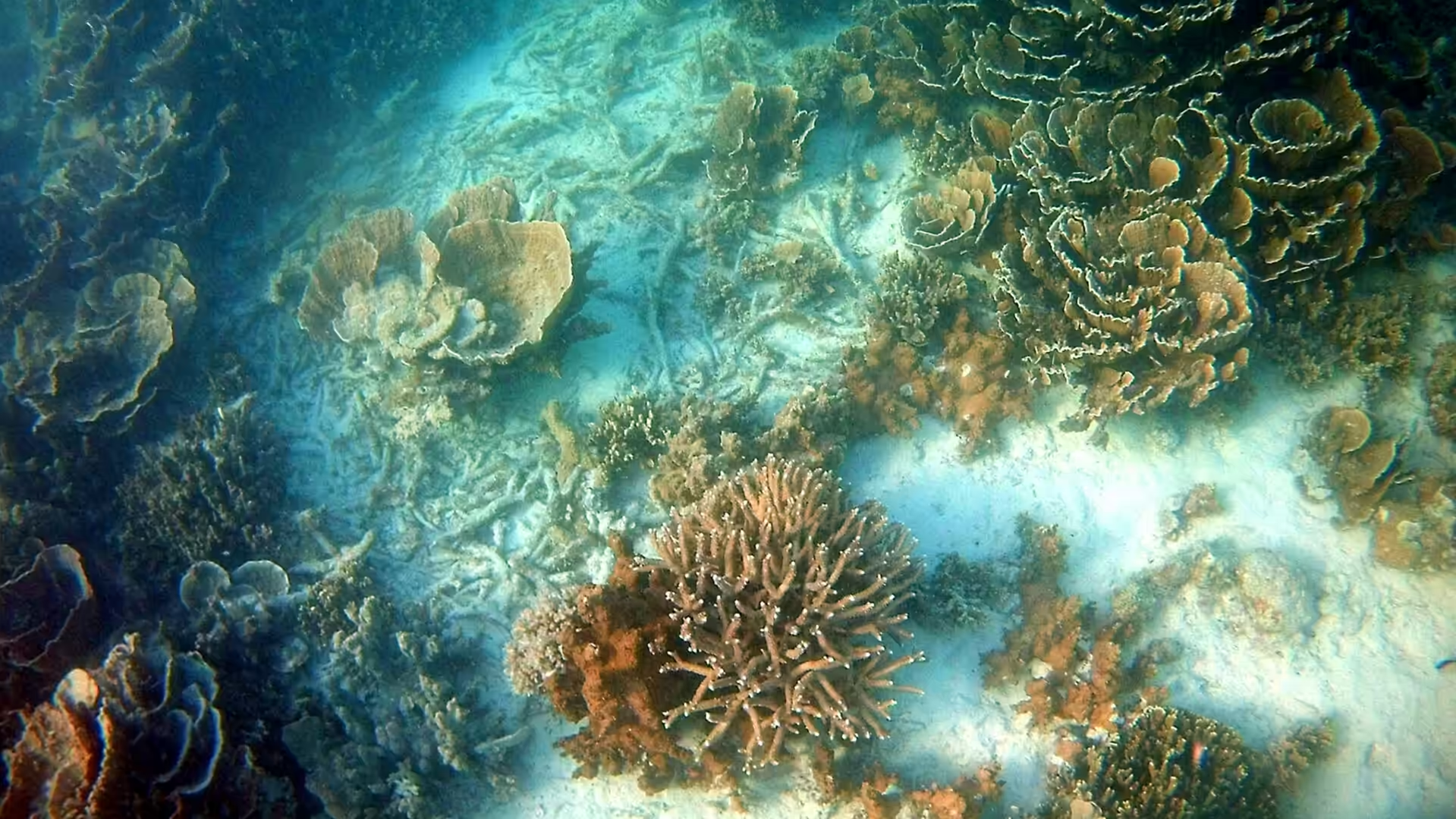
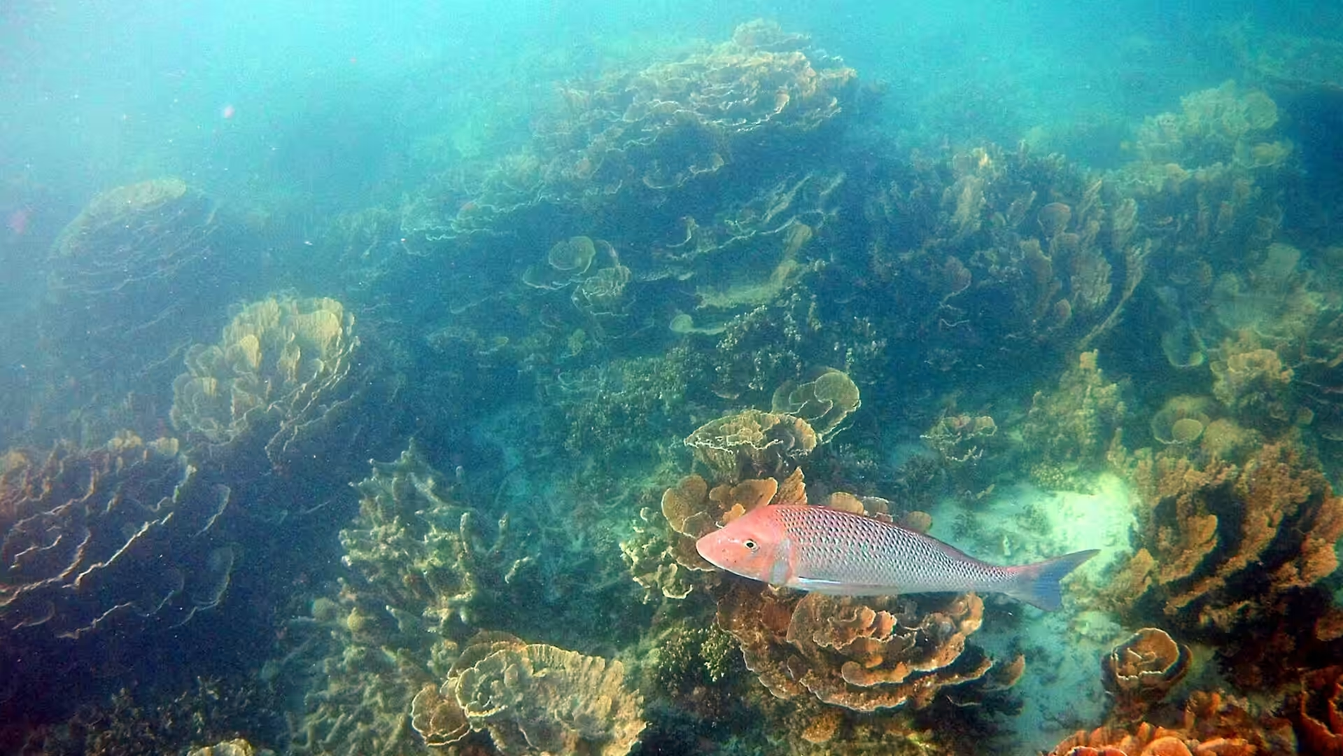
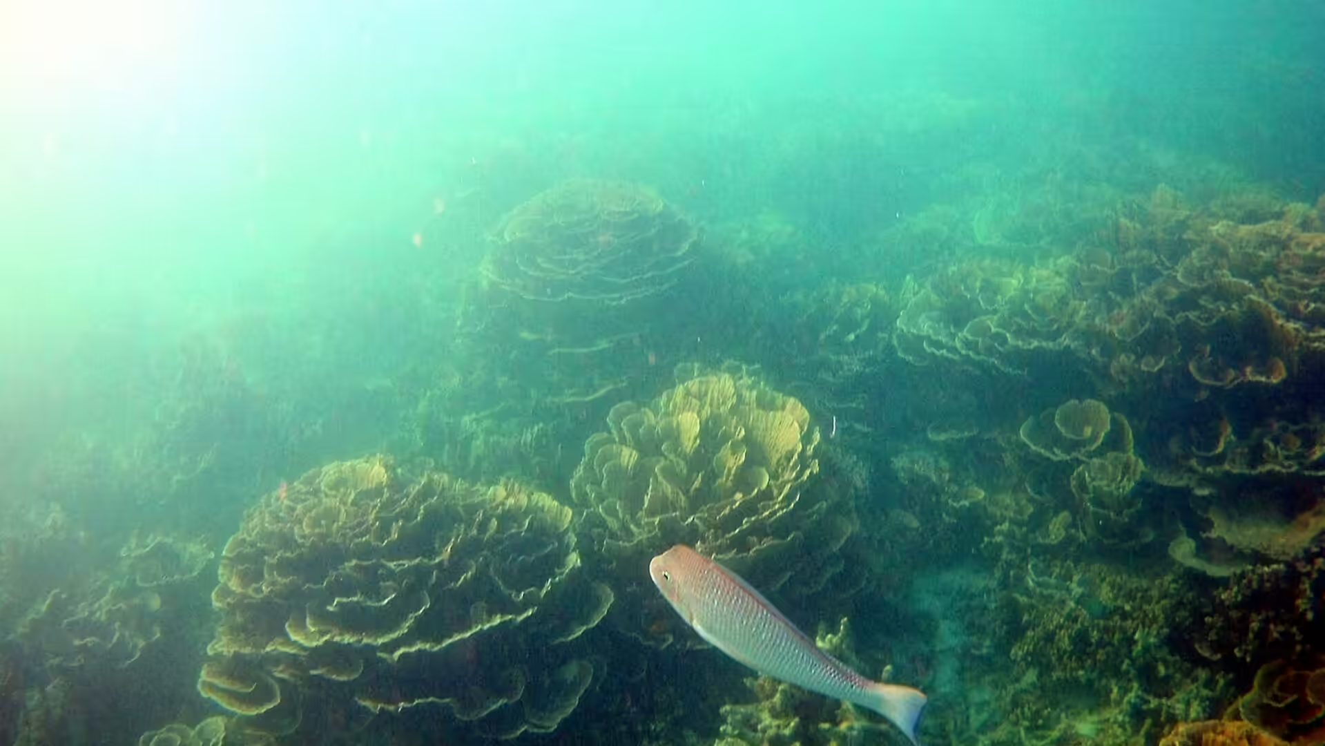
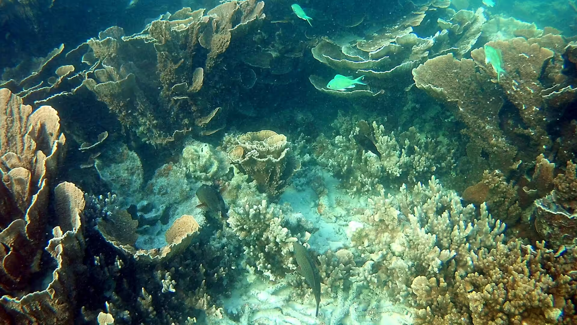
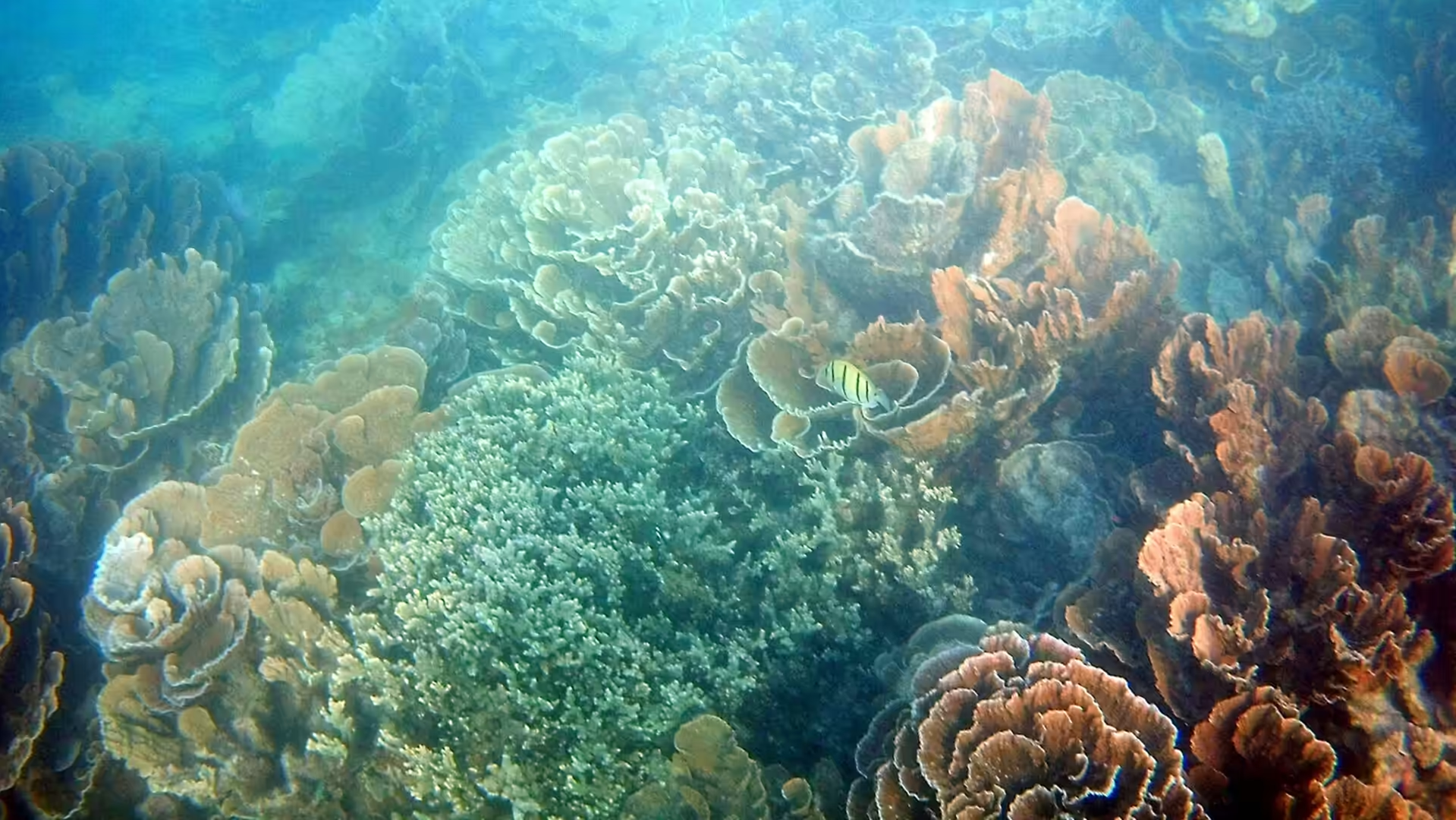
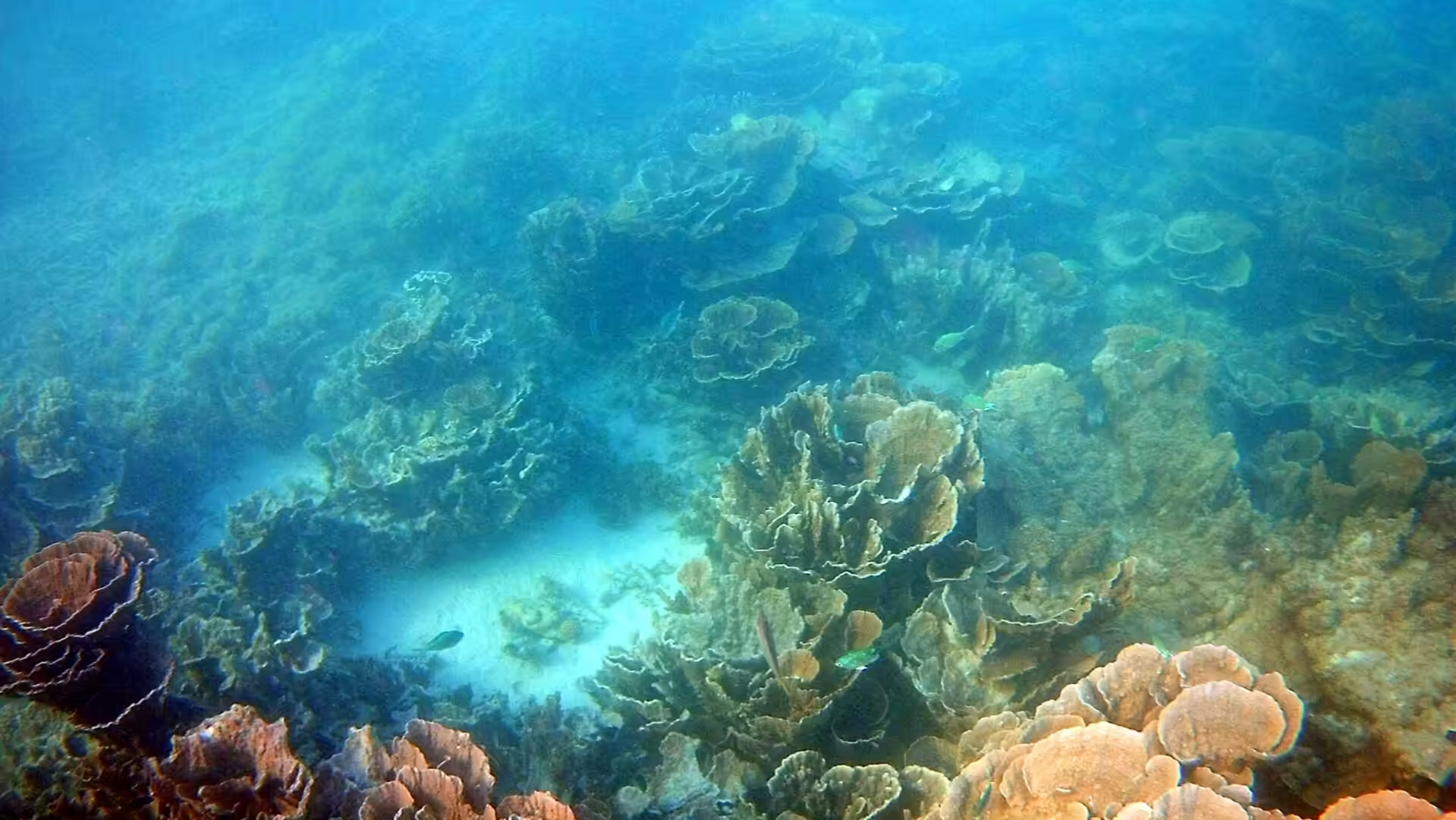
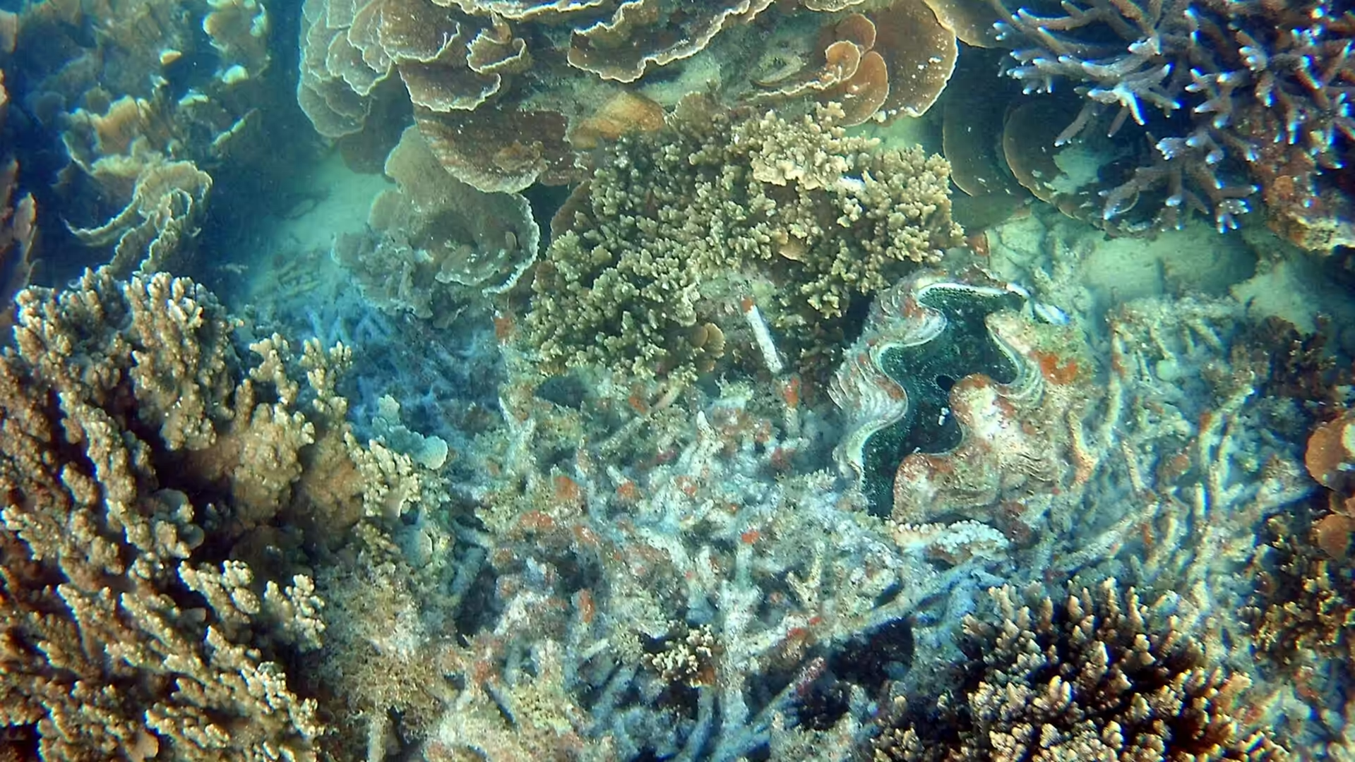
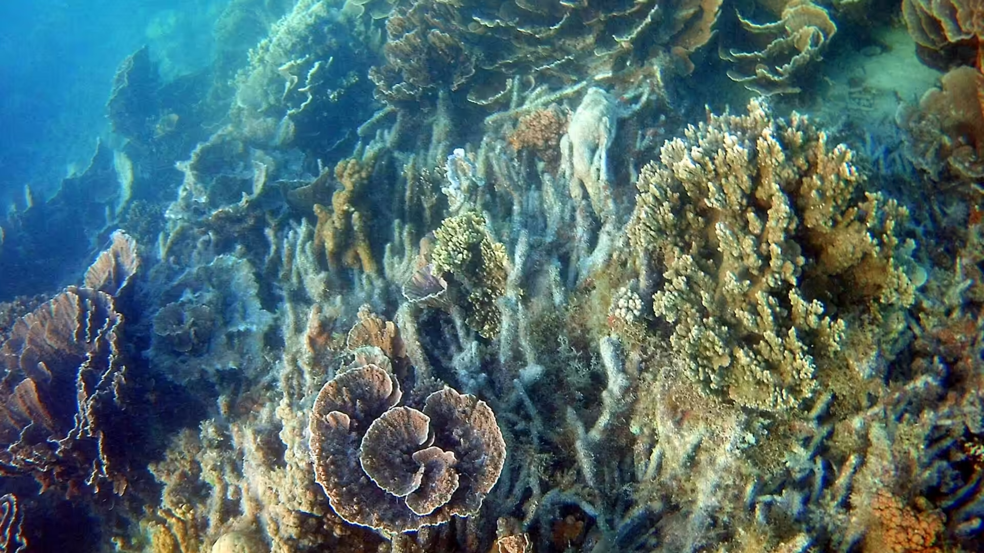
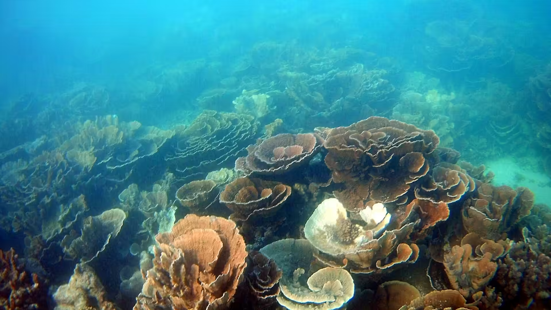
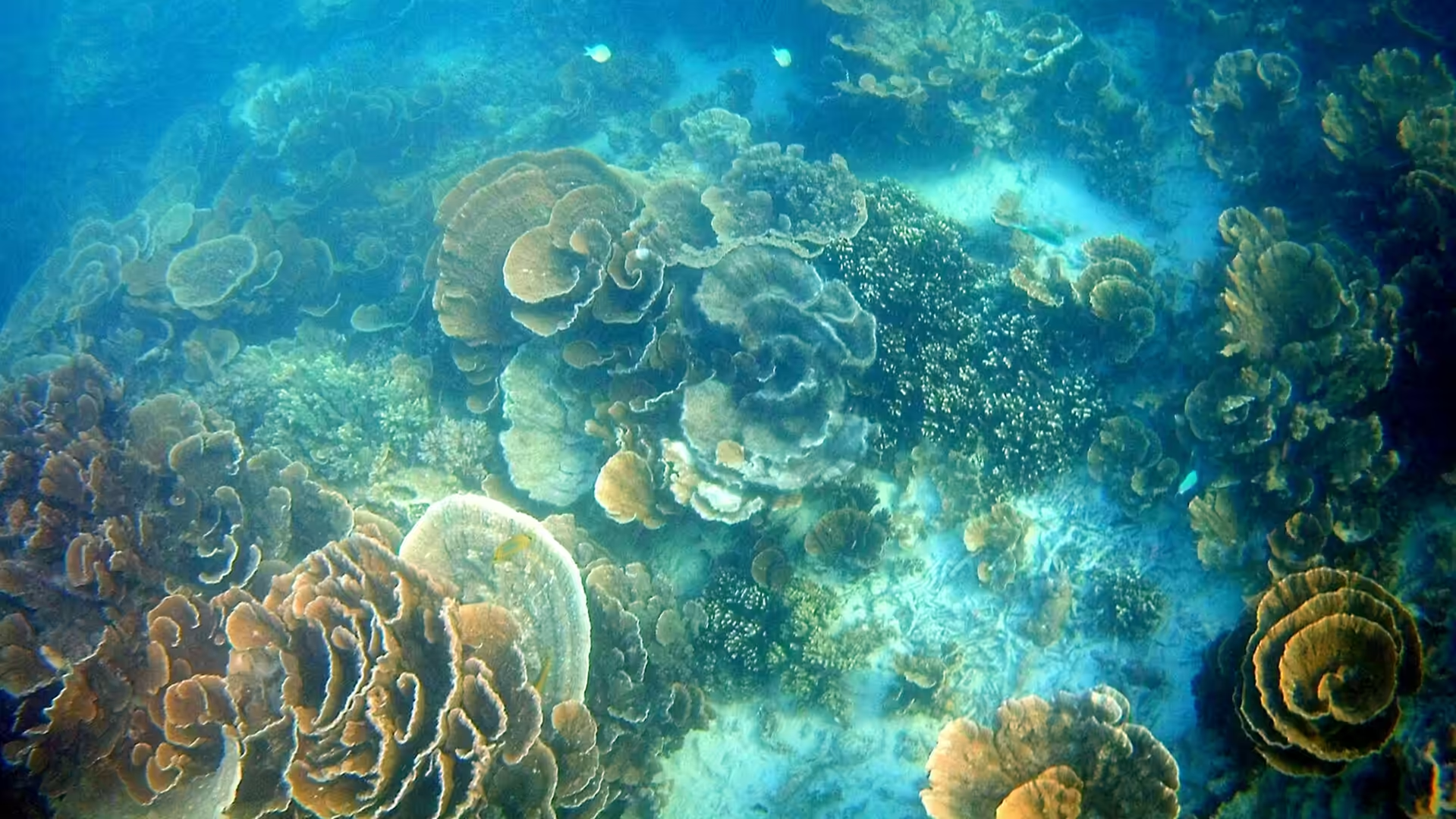
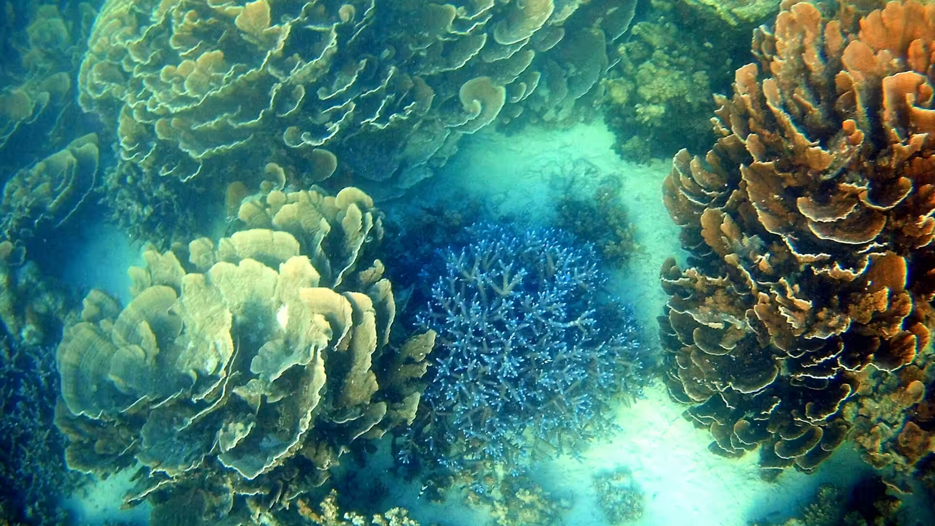
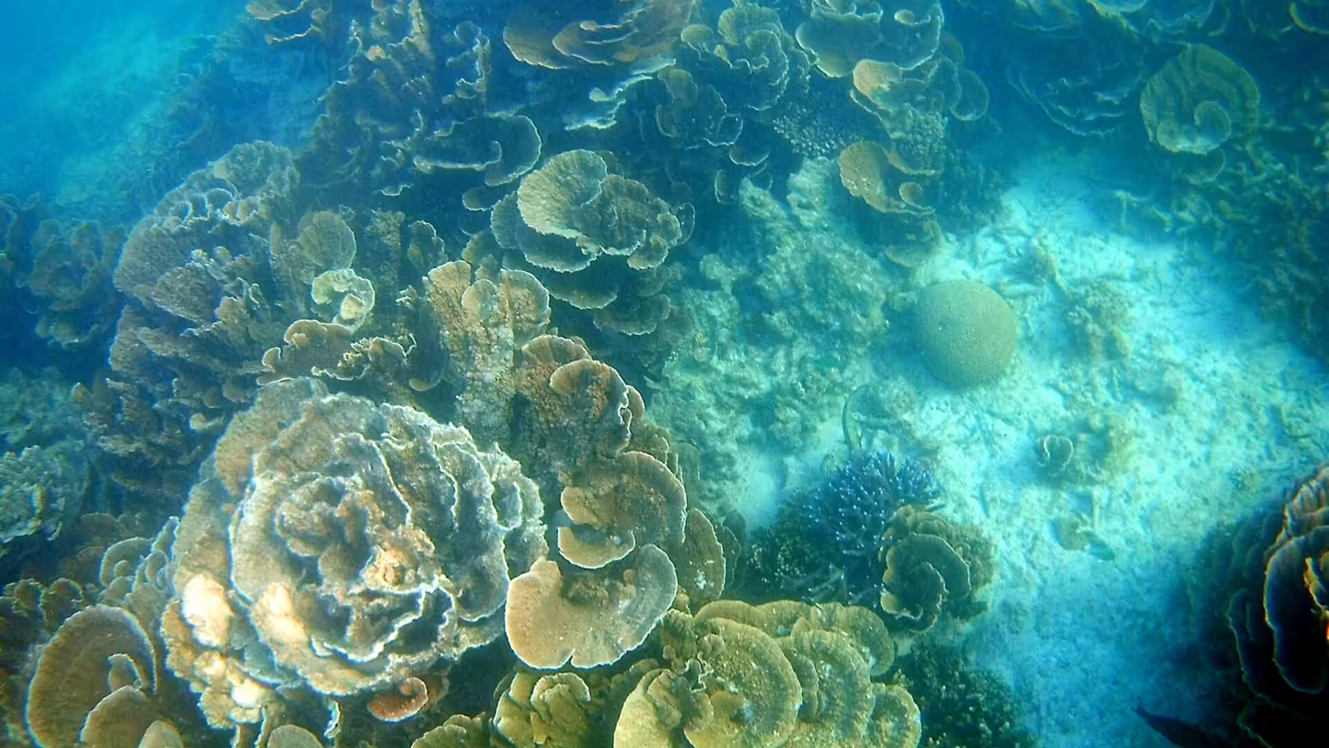
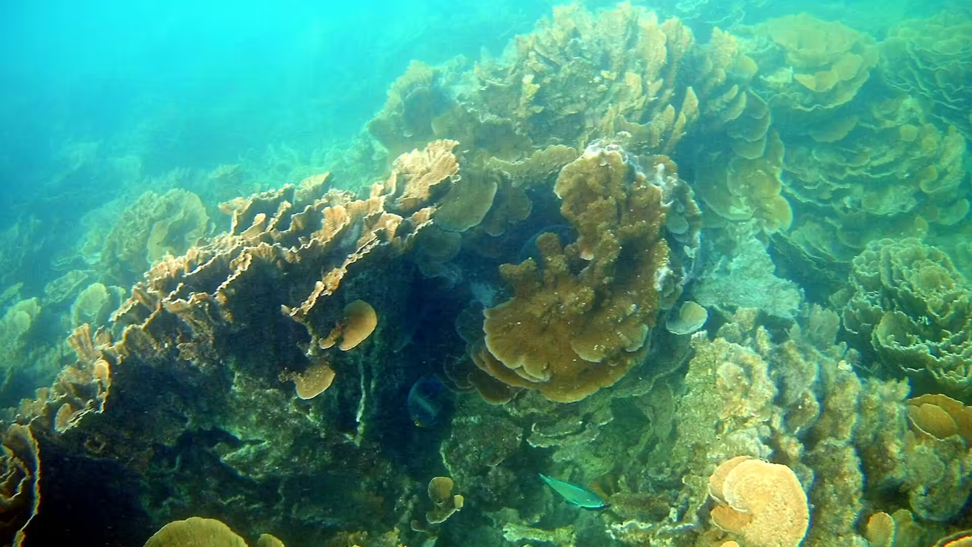
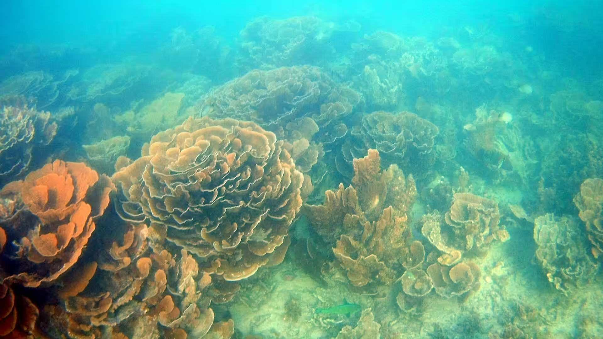
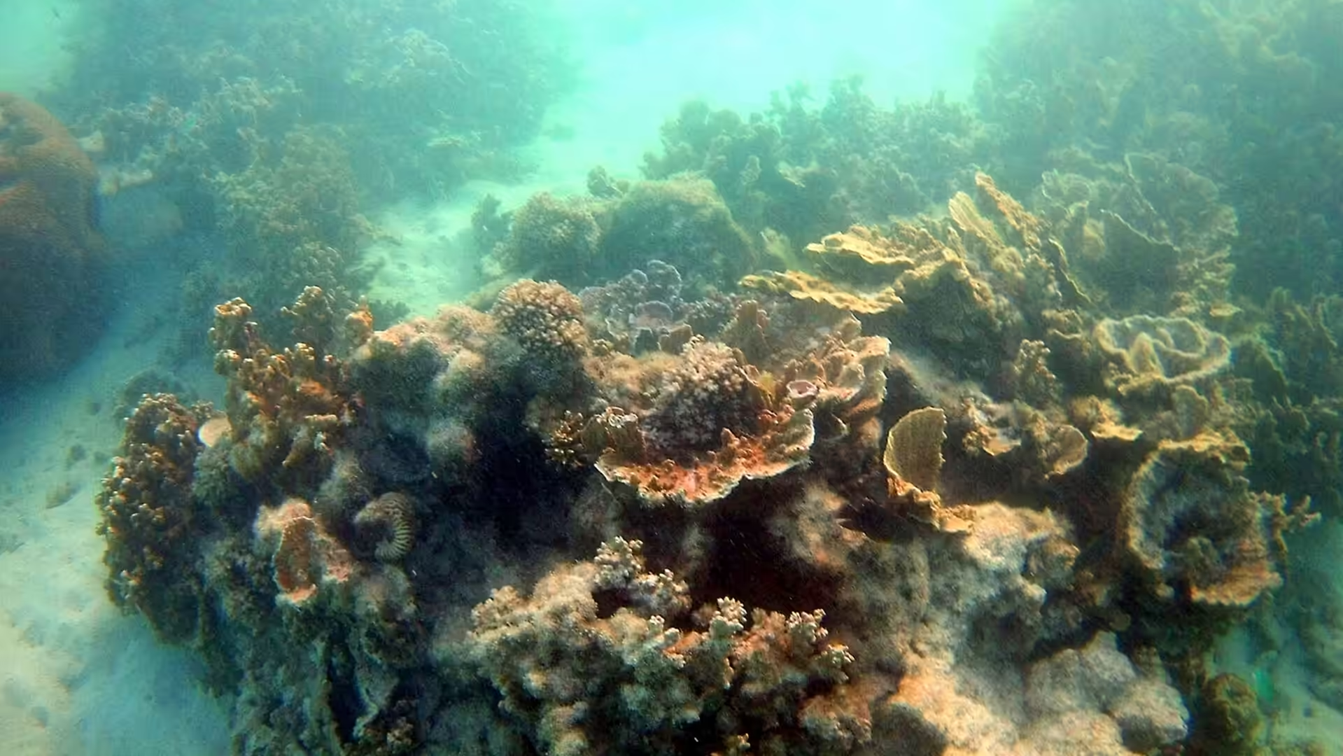
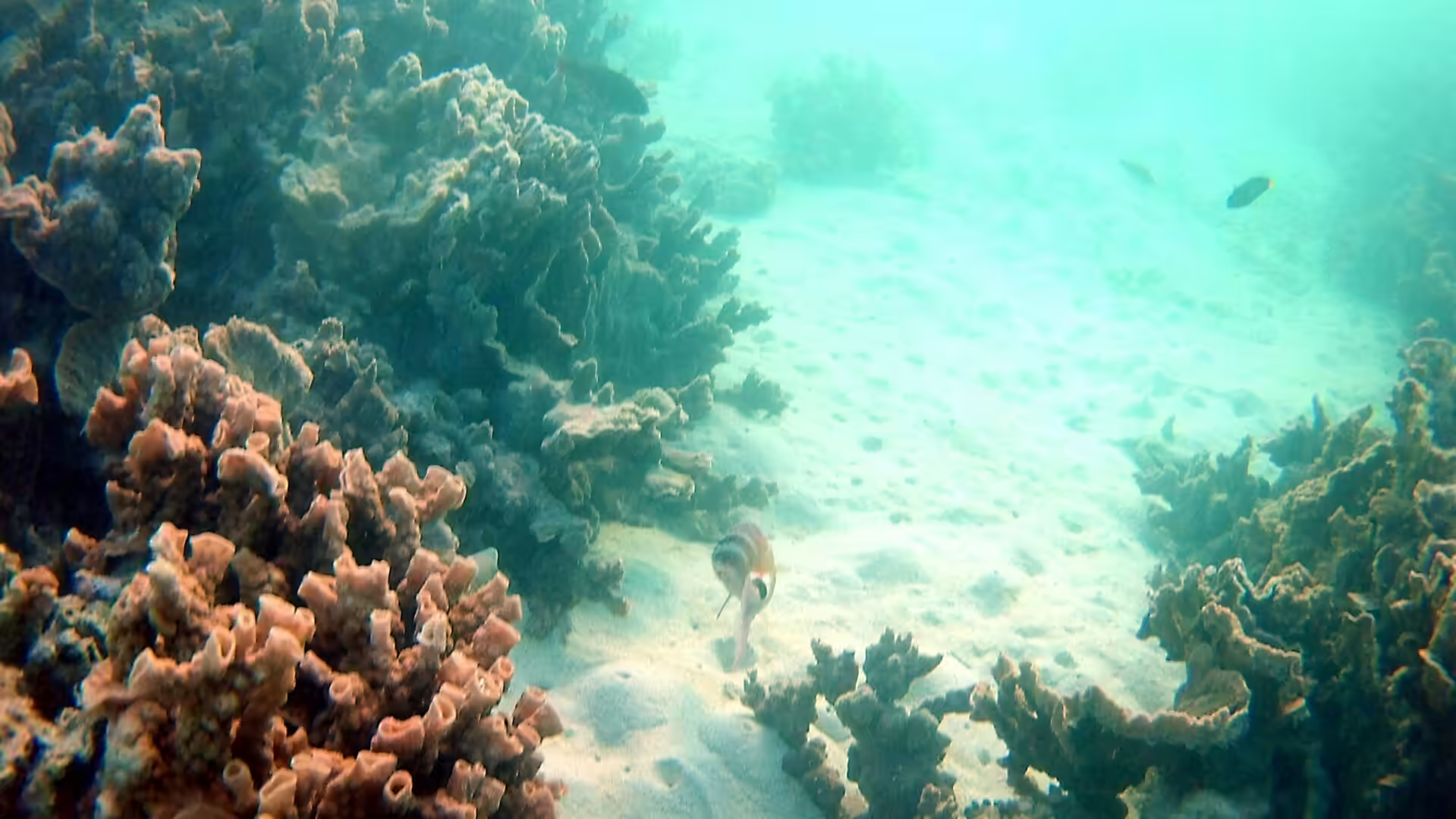
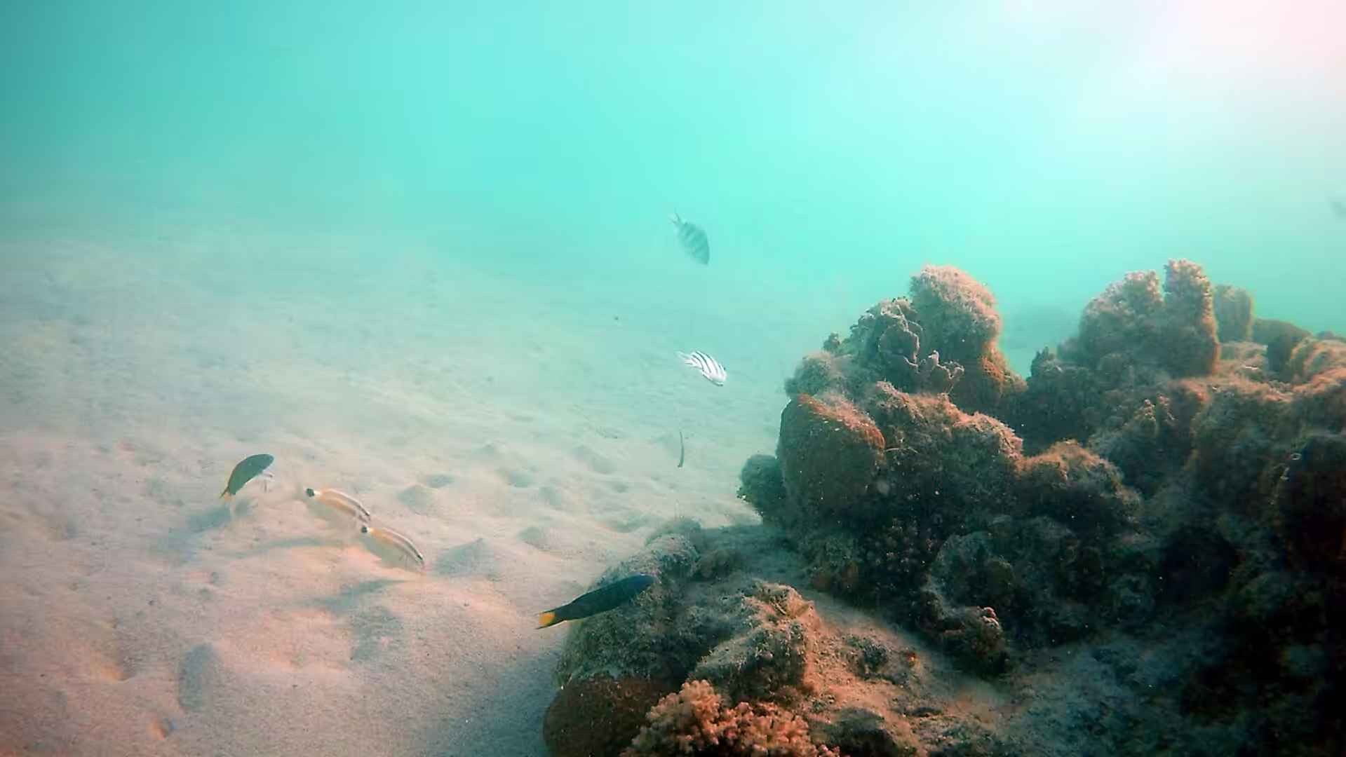
The first swim of the Ningaloo coast is the moment the trip changes. The lagoon is shallow, warm and clear, the coral begins within a few metres of the sand, and the fish are already around the swimmer’s legs before the mask is on properly. Staghorn and plate corals stand in gardens on the floor of the lagoon, sea fans and brain corals appear in the deeper channels, and a giant clam a metre across sits in its own patch of sand without moving. Everything in the lagoon is protected, nothing may be taken or stood on, and the rules are the only thing that keeps the place in the condition that brought the visitor there.
The gulf side of the peninsula is the quiet half of the day, and it is worth an hour in the late afternoon. The marina on Exmouth Gulf holds the tour boats and the fishing charters, the boat ramp beside it is busy with trailers at the change of the tide, and the water is calm, shallow and warm. The gulf is where the prawn fleet works in season, where the game fishermen go for marlin in the deeper water outside, and where the sunset is best seen from the town side of the cape. It is a working piece of coast rather than a holiday one, and the contrast with the reef beaches on the other side of the peninsula is part of the interest of the place.
References
- Wikipedia contributors (2026). Coral Bay, Western Australia. en.wikipedia.org/wiki/Coral%20Bay%2C%20Western%20Australia
- Wikipedia contributors (2026). Ningaloo Coast. en.wikipedia.org/wiki/Ningaloo%20Coast
- Wikipedia contributors (2026). Ningaloo Reef. en.wikipedia.org/wiki/Ningaloo%20Reef
- Wikipedia contributors (2026). Ningaloo. en.wikipedia.org/wiki/Ningaloo
- Wikipedia contributors (2026). Ningaloo Marine Park (Commonwealth waters). en.wikipedia.org/wiki/Ningaloo%20Marine%20Park%20%28Commonwealth%20waters%29
- Wikipedia contributors (2026). Cape Range National Park. en.wikipedia.org/wiki/Cape%20Range%20National%20Park
- Wikipedia contributors (2026). Exmouth, Western Australia. en.wikipedia.org/wiki/Exmouth%2C%20Western%20Australia
- Wikipedia contributors (2026). Whale shark. en.wikipedia.org/wiki/Whale%20shark
- Wikipedia contributors (2026). Exmouth Gulf. en.wikipedia.org/wiki/Exmouth%20Gulf
- Wikipedia contributors (2026). Dugong. en.wikipedia.org/wiki/Dugong
- Wikipedia contributors (2026). North West Cape. en.wikipedia.org/wiki/North%20West%20Cape
- Taylor G. (1989) Whale Sharks of Ningaloo Reef Western Australia: A preliminary Study. The Western Australian Naturalist. 18. 7-12. doi.org/10.5962/p.310640
- Ceh J., Van Keulen M., Bourne D.G. (2010) Coral-associated bacterial communities on Ningaloo Reef, Western Australia. FEMS Microbiology Ecology. 75. 134-144. doi.org/10.1111/j.1574-6941.2010.00986.x
- Duffy S., Layton R., Dwyer L. (2018) Whale shark tourism at Ningaloo Reef. Coral Reefs: Tourism, Conservation and Management. 119-134. doi.org/10.4324/9781315537320-9