Day 12 - Namib Desert / Walvis Bay / Spitzkoppe
28 May 2019

Journal Notes
General
The twelfth day went to the coast and came back to the mountains, and it was the longest drive of the journey. The road runs from the valley across the gravel plains to the sea, through the dunes of the coastal belt and the salt pans behind Walvis Bay, and then turns inland again towards the granite dome of the Spitzkoppe that stands above the plain like a landmark put there on purpose.
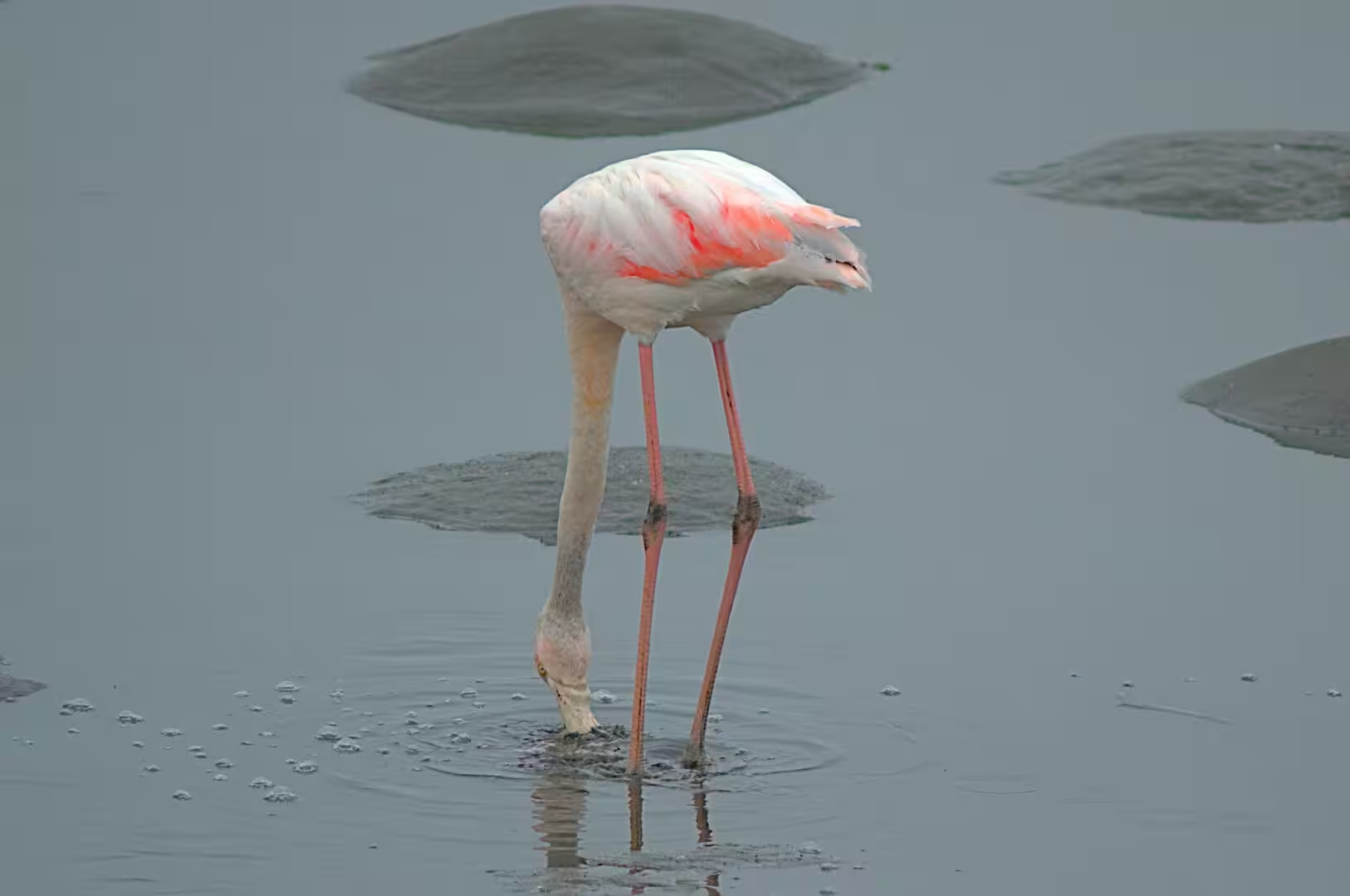
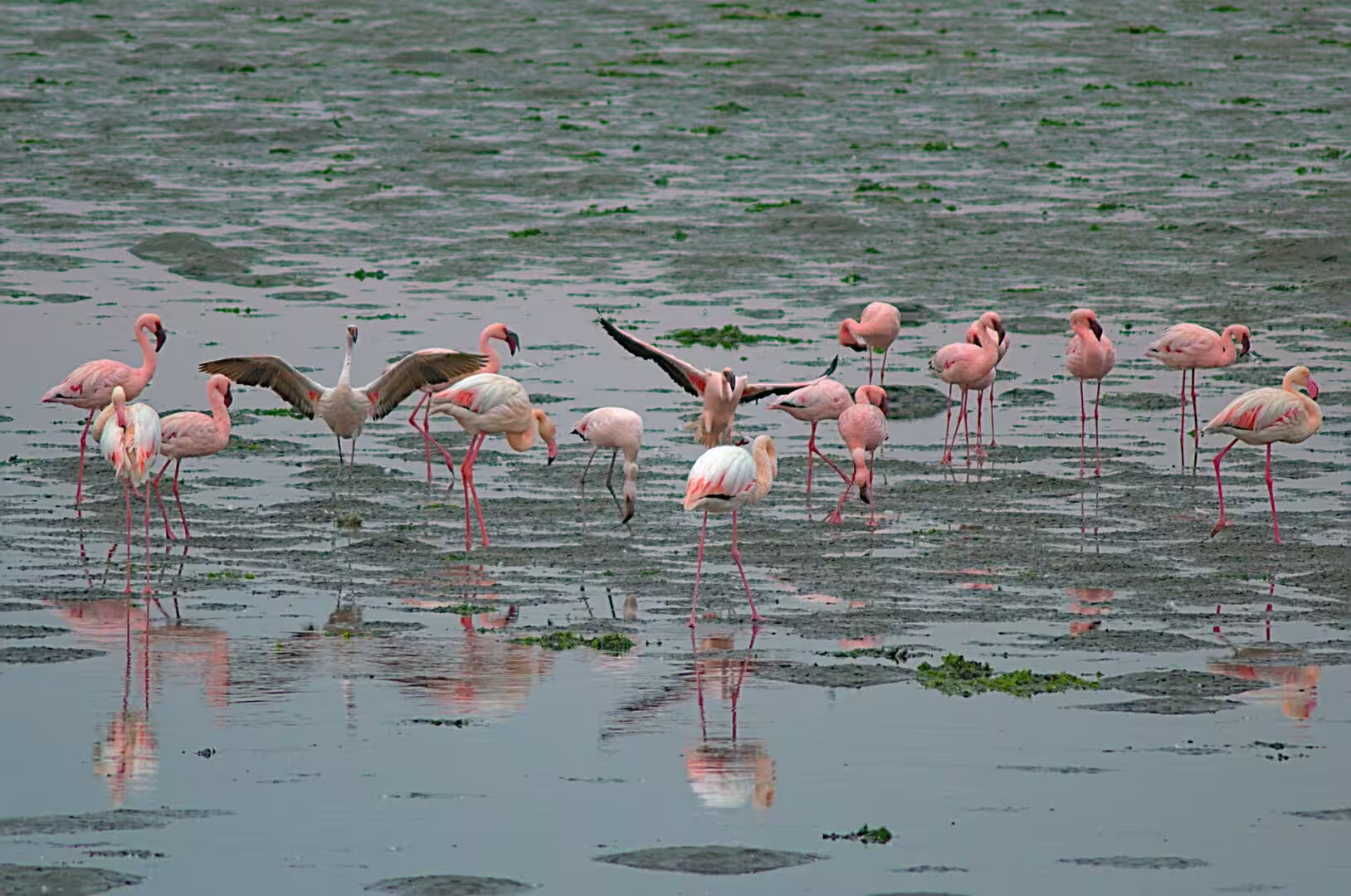
The lagoon behind Walvis Bay was the first stop and the surprise of the day. The water of the bay is shallow, green and full of the life that the cold current of the Atlantic feeds, and the birds that gather on it are the numbers that make the place famous: flamingos wading in the shallows by the hundred, pelicans and cormorants on the water, gulls and terns on the sand banks, and the small waders of the mud flats feeding at the edge. The pink of the flamingos against the grey of the water is the image of the Namibian coast.
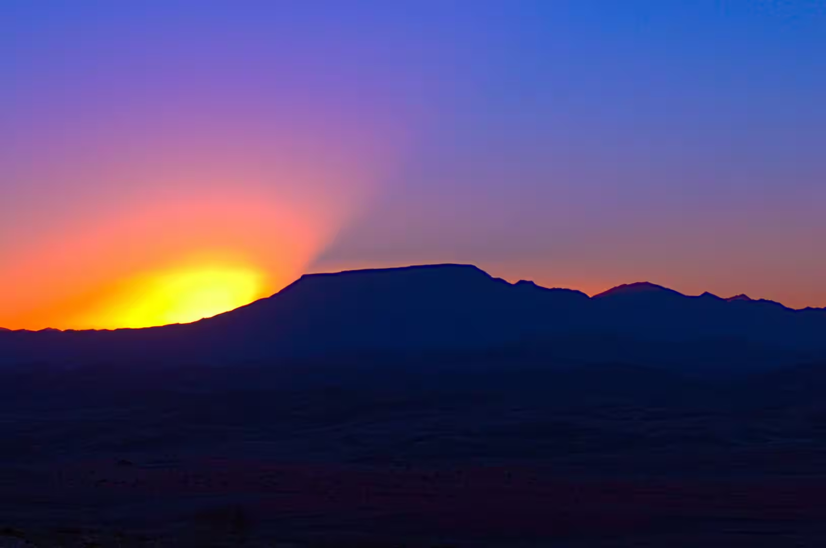
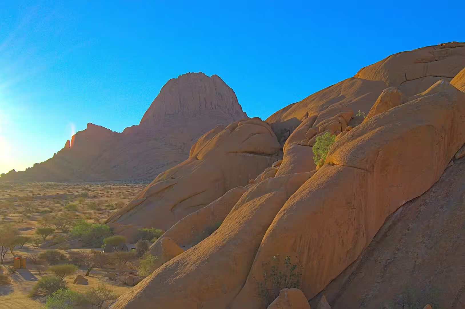
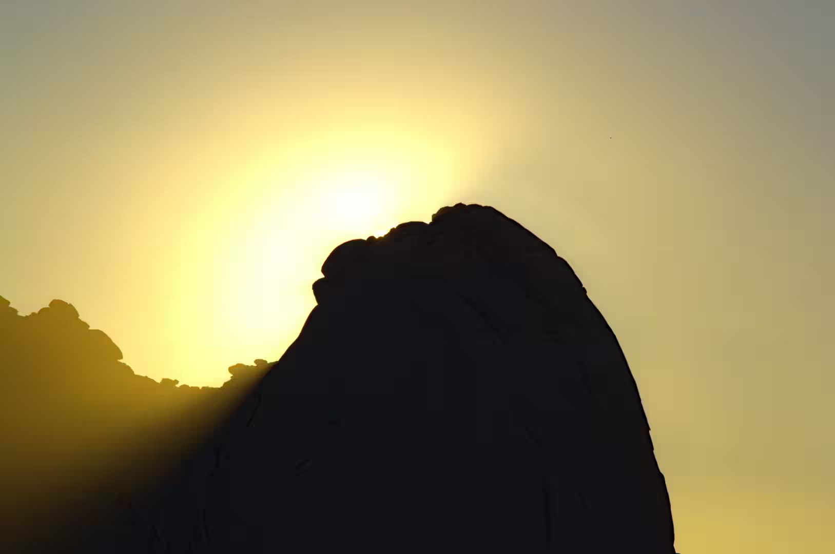
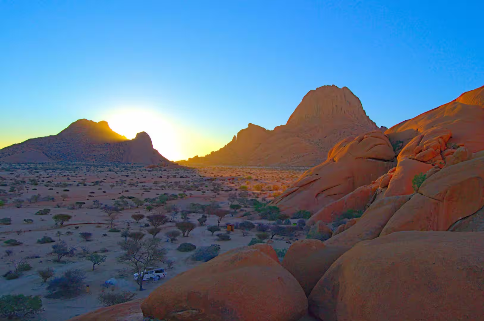
The drive inland ended at the Spitzkoppe in the late afternoon. The group of bald granite domes rises out of the plain between Usakos and Swakopmund, the rock is smooth and pale and warm in the light of the setting sun, and the camp beside it is one of the most spectacular in the country: the pitches are set among the boulders, the fire is lit at the foot of a dome, and the sun goes down behind the silhouette of one of the great rocks with the whole sky burning over it.
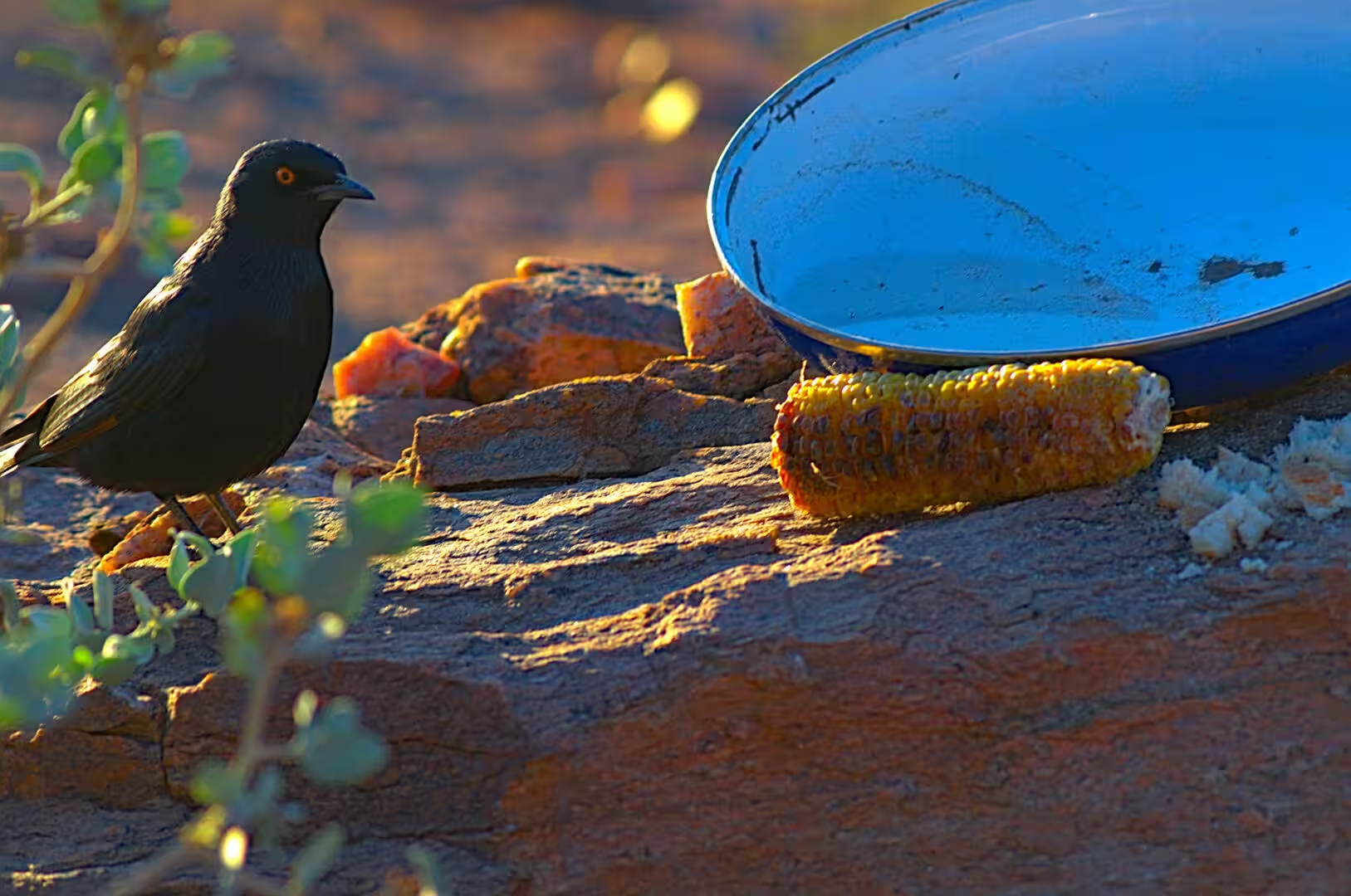
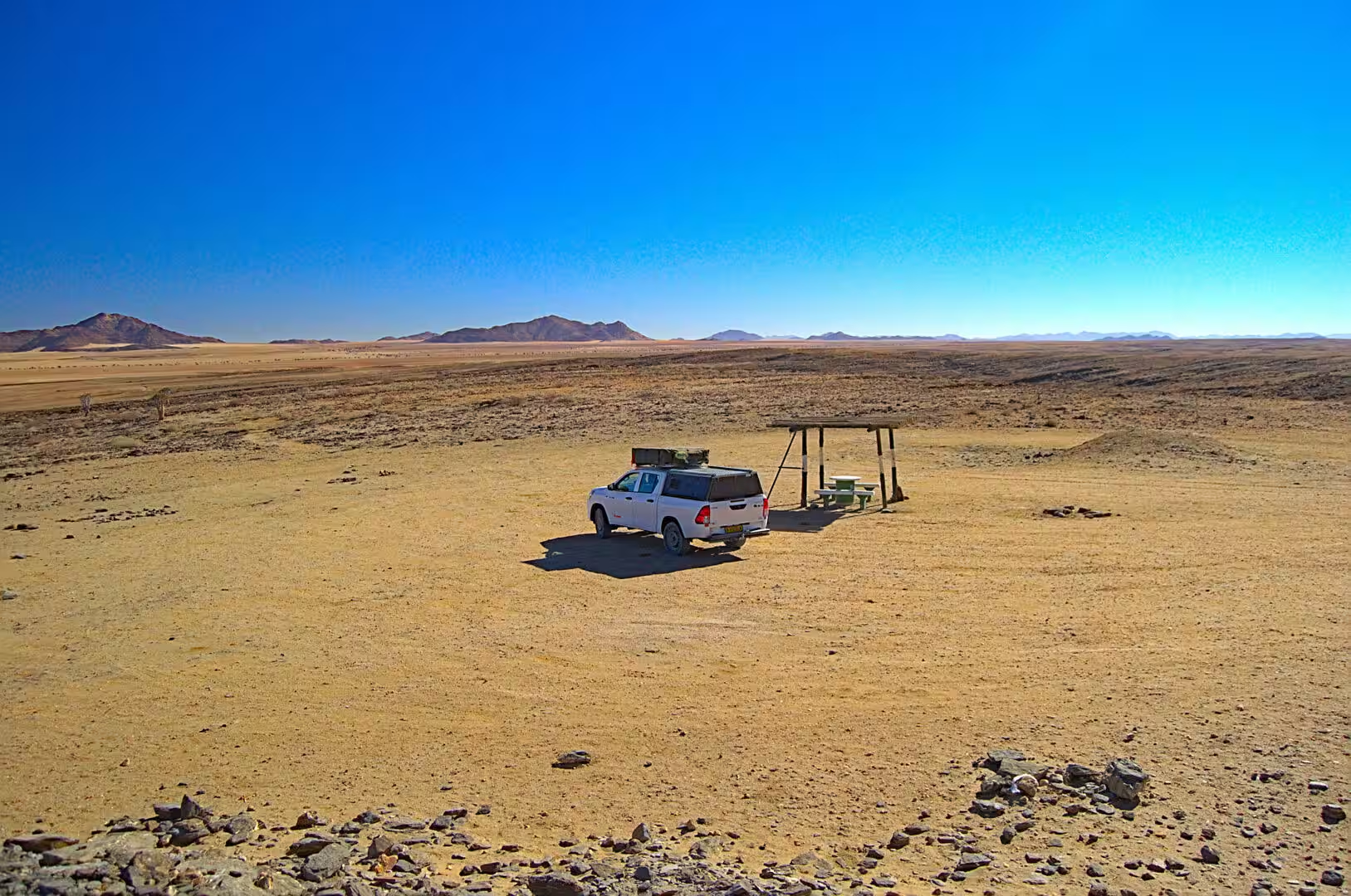
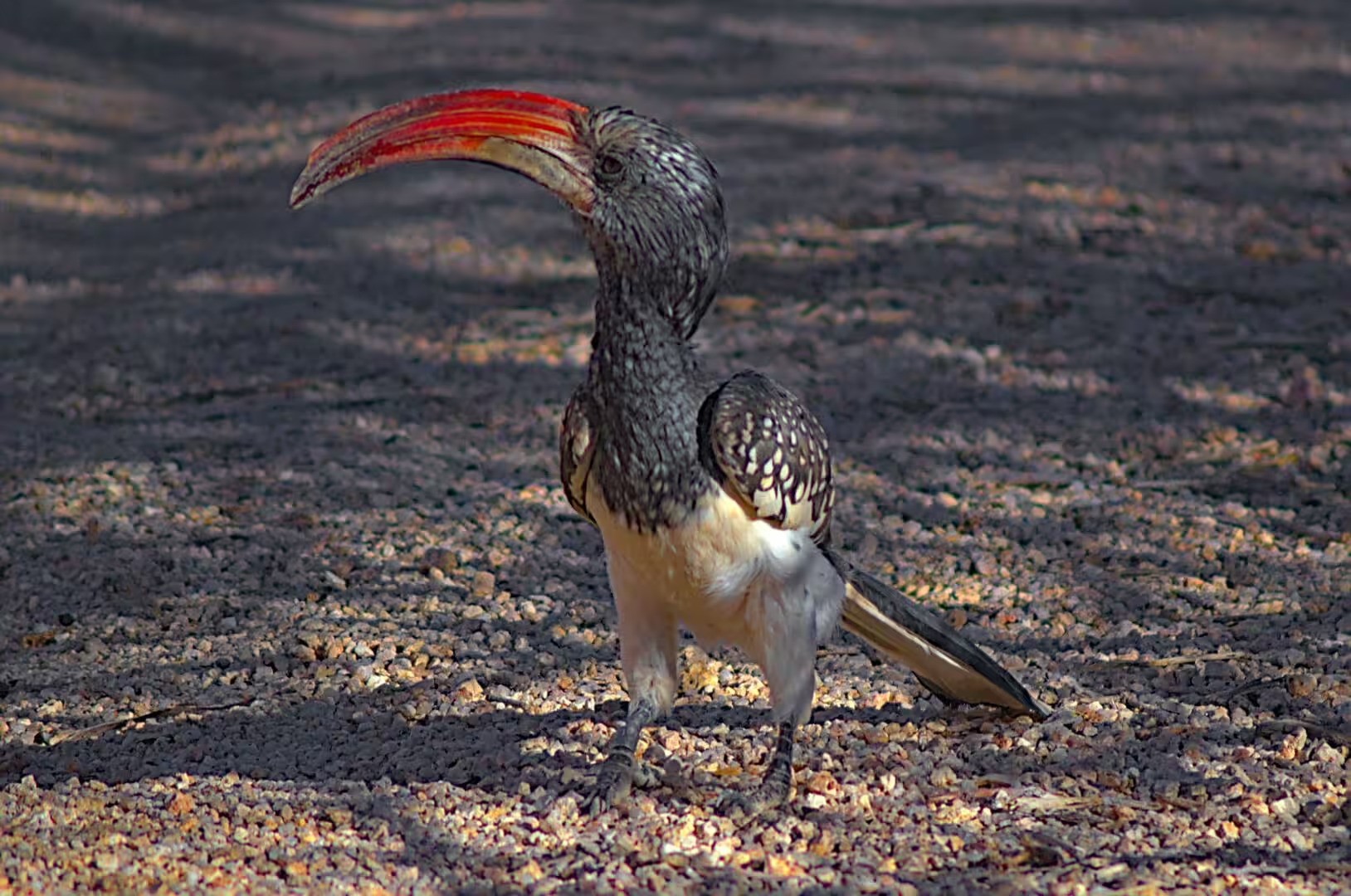
The day also produced the birds of the interior. The hornbill with the long red bill, the glossy black starling with the iridescent head and the orange eye, the small seed eaters of the gravel and the raptors on the poles of the road were all in the day’s collection. The camp of the night was the kind that the traveller remembers for the position rather than the comfort: a campervan among the glowing orange boulders, a fire, and a silence that is only broken by the wind in the rocks.
History
Walvis Bay is the place where the history of Namibia was decided more than once. The bay was known to the navigators of the Portuguese and the Dutch from the end of the fifteenth century, it was the only deep water harbour on the coast, and the powers that sailed past it understood its value long before anyone settled the interior. The British annexed the bay and the surrounding strip in 1878, and the harbour remained a separate territory through the German period and through the South African administration, returning to Namibia only in 1994.
The town that grew around the harbour is the country’s second city and its largest port. The railway of the territory ends there, the salt works behind the town are among the largest in Africa, the fishing and the fish processing industries of the coast are based on it, and the container terminal serves the trade of the whole of the interior of southern Africa. The traveller who drives into Walvis Bay sees the industrial Namibia that the parks hide: the warehouses, the cranes, the fishing boats and the trucks of the road to the interior.
The Spitzkoppe has a history of its own, and it is a history of climbers. The granite domes were first climbed in the colonial period by the farmers and the officials of the territory, the main peak was climbed in the 1940s, and the rock has been one of the standard destinations of southern African climbing ever since. The name that the climbers use for it, the Matterhorn of Namibia, was given because of the shape, and the camps below the rock have been the base for generations of expeditions.
The people of the coast and the mountains have their own histories as well. The Damara, the Nama and the Herero communities of the Erongo region live between the coast and the interior, the fishing towns grew with the industry of the twentieth century, and the farms of the granite country have been worked by the same families for a century. The visitor who stops at a farm stall or a roadside shop between the coast and the mountains will meet the country that lives from the traffic of the road.
Geology
The bay of Walvis Bay is a natural harbour made by the geology of the coast. The sand carried north by the current of the Atlantic has built a spit and a lagoon that shelter the water from the swell, the salt pans and the salt works behind the town are the same process made industrial, and the dunes of the coastal belt, the famous Dune 7 among them, are the sand of the desert arriving at the sea. The whole coastline is a system in motion: the sand comes from the Orange River in the south, travels north with the current, and is blown inland by the wind to build the dunes that the traveller drove through.
The cold water of the coast is the reason for the bay’s biology. The Benguela current brings the water of the Southern Ocean up the coast of the continent, the upwelling of the deep water at the coast supplies the nutrients of the plankton, and the plankton feeds the fish, the birds and the whole of the marine life of the region. The fog that the cold water produces is the other half of the story: it waters the lichens and the beetles of the coastal strip, and it is the reason the coast of this country has a vegetation of its own between the sea and the dunes.
The Spitzkoppe is the interior of the same system written in granite. The rock is more than a hundred and twenty million years old, it was intruded as a mass of molten material into the older rocks of the region, and it was exposed when everything above it was worn away. The rounded domes and the smooth walls that the climbers love are the result of the weathering of that granite in a climate without frost and with very little rain: the rock does not break into the jagged forms of the mountains of Europe, it falls apart in shells, and the forms that remain are the ones the visitor sees.
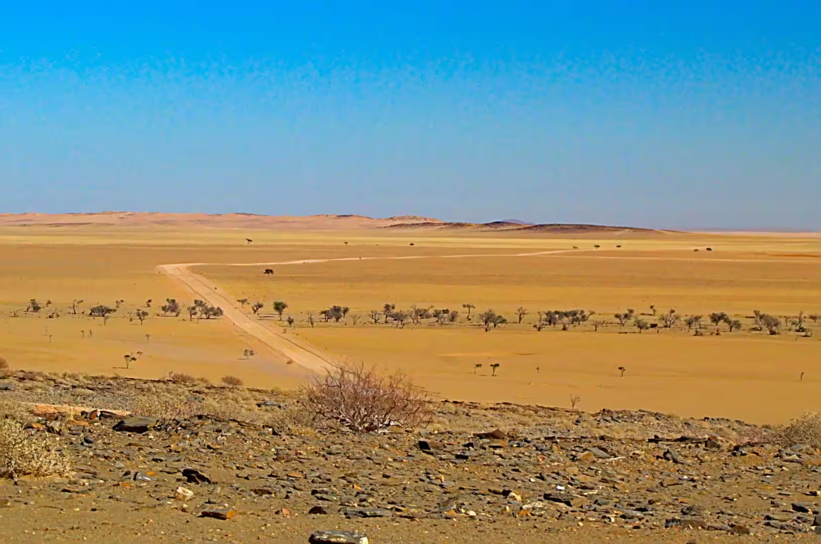
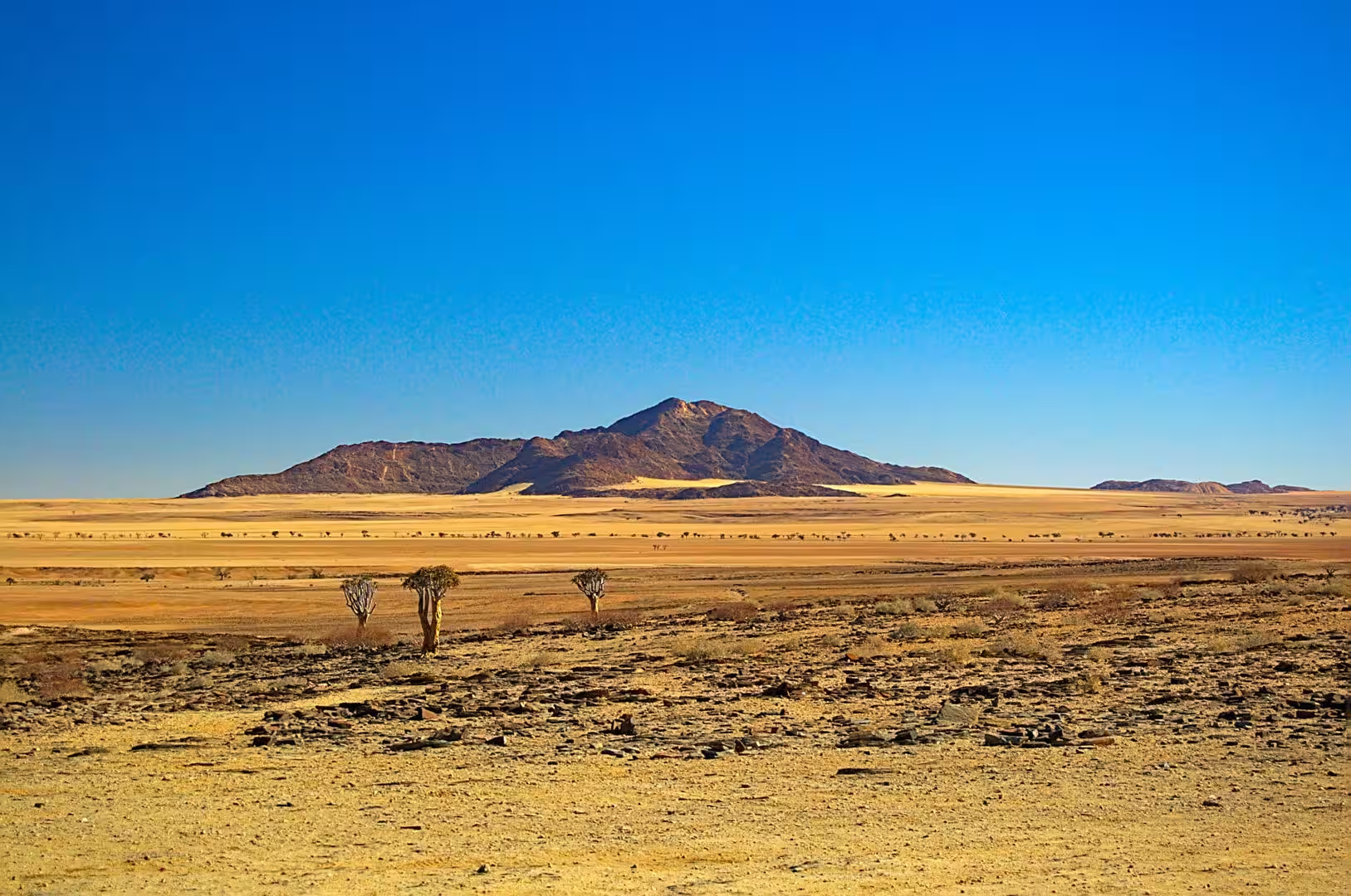
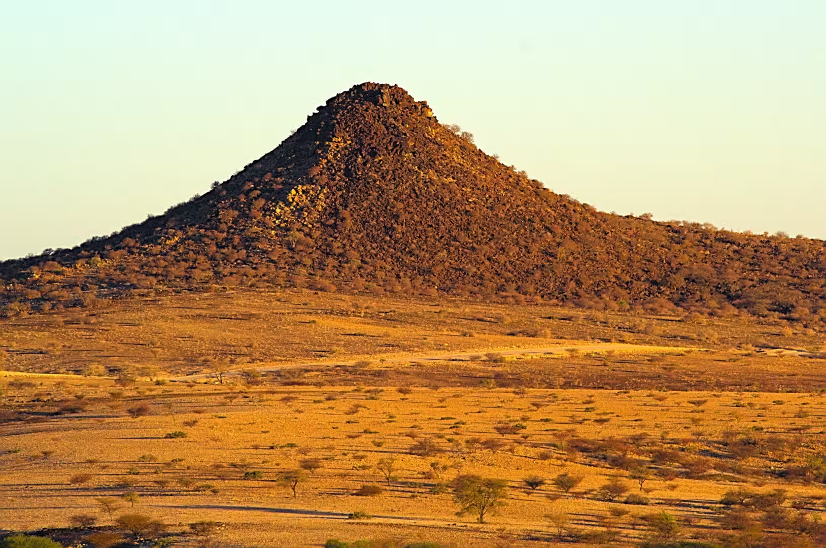
The geology of the drive between the coast and the mountains is a lesson in distance. The gravel plains of the coastal belt are the beds of the rivers that once ran into the sea, the dune belt behind them is the sand of the present one, and the granite domes are the old interior standing above both. The mountains of the Erongo to the north are the remains of a volcanic complex of the Cretaceous, and the whole region is a record of a country that has been desert, sea shore and desert again in the time since the granite was molten.
The salt of the coast is the last product of the geology of the bay. The pans behind Walvis Bay are fed with the sea water, the sun and the wind of the coast evaporate it, and the salt that remains is harvested and exported: one of the oldest industries of the territory and one of the few that needs nothing but the climate. The white mountains of salt beside the road are the landscape of the drive out of the town, and the visitor who tastes the crust on their skin after a day on the water has met the same mineral in its raw state.
Things to See
The lagoon of Walvis Bay is the birding sight of the day, and it is one of the most important wetlands of southern Africa. The flamingos feed in the shallows in their hundreds, the greater and the lesser flamingo among them, the cormorants and the pelicans rest on the water and on the sand banks, and the whole area is protected for the birds that use it as a wintering and a feeding ground. The hides and the viewpoints on the shore road are the place to watch them, and the visitor who goes early in the morning sees the flock at its best.
The town of Walvis Bay is worth the afternoon. The waterfront with its restaurants and its harbour views, the lagoon road with its hides and its salt pans, the museum and the craft market are all part of the tour, and the boat trips to the harbour mouth with the seals, the dolphins and the pelicans are booked from the waterfront. The traveller who has spent a week in the desert will find the sea an unexpected luxury, and the fish of the day in one of the restaurants is the local speciality.
The Spitzkoppe is the landscape sight of the day and one of the great landscape sites of Namibia. The granite domes can be walked around on the trails of the community that owns the land, the rock art of the shelters under the domes is protected and can be visited with a guide, and the climb of the main peak, which is a technical route, is the ambition of the mountaineers. The sunset and the sunrise from the camp among the boulders are the two hours that the place is famous for.
The camp of the night is the last sight of the day. The pitches are set in the sand among the rocks, the ablutions are simple and clean, the water comes from the tanks and the firewood from the community stall at the gate, and the sky after dark is the deepest of the journey so far: the domes stand black against a Milky Way that reaches from horizon to horizon. The visitor who puts the chair out beside the tent and waits for the moon to set will see the southern sky at its best, and will understand why people drive a thousand kilometres to camp on this piece of granite.
The practical side of the day is the side of the coast and the mountains. The road from the interior to Walvis Bay is tarred and fast, the road to the Spitzkoppe is gravel and sandy in places, and the fuel is available at Walvis Bay, Swakopmund and Usakos. The coast is cold when the fog comes in and hot when it does not, the camp at the Spitzkoppe has no power and no water of its own beyond the tanks, and the evening temperature in the winter drops sharply. The traveller who carries a warm layer, a head lamp and the food that the next morning needs will find the day one of the best of the whole journey.
References
- Wikipedia contributors (2026). Walvis Bay. en.wikipedia.org/wiki/Walvis%20Bay
- Wikipedia contributors (2026). Spitzkoppe. en.wikipedia.org/wiki/Spitzkoppe
- Wikipedia contributors (2026). Greater flamingo. en.wikipedia.org/wiki/Greater%20flamingo
- Wikipedia contributors (2026). Namib. en.wikipedia.org/wiki/Namib
- Wikipedia contributors (2026). Namib-Naukluft National Park. en.wikipedia.org/wiki/Namib-Naukluft%20National%20Park
- Wikipedia contributors (2026). Swakopmund. en.wikipedia.org/wiki/Swakopmund
- Wikipedia contributors (2026). Erongo Region. en.wikipedia.org/wiki/Erongo%20Region
- Wikipedia contributors (2026). Cape fur seal. en.wikipedia.org/wiki/Cape%20fur%20seal
- Wikipedia contributors (2026). Namibia. en.wikipedia.org/wiki/Namibia
- Wikipedia contributors (2026). Skeleton Coast. en.wikipedia.org/wiki/Skeleton%20Coast
- Wikipedia contributors (2026). Uis. en.wikipedia.org/wiki/Uis
- Wikipedia contributors (2026). Brandberg Mountain. en.wikipedia.org/wiki/Brandberg%20Mountain
- Wikipedia contributors (2026). Oryx. en.wikipedia.org/wiki/Oryx
- Wikipedia contributors (2026). Common ostrich. en.wikipedia.org/wiki/Common%20ostrich
- Lancaster N. (2026) Dune Sediments. The Namib Sand Sea. 47-80. doi.org/10.1201/9781003763185-4
- Nørgaard T., Dacke M. (2010) Fog-basking behaviour and water collection efficiency in Namib Desert Darkling beetles. Frontiers in Zoology. 7. 23. doi.org/10.1186/1742-9994-7-23