Day 11 - Namib Desert / Valley Of A Thousand Hills Campsite
29 May 2019
Journal Notes
General
The eleventh day was the one that the traveller spends inside the landscape rather than passing through it. The camp lies among the low hills between the Naukluft and the dunes, and the whole of the day was given to the country around it: a walk up the dry watercourse behind the pitches, a drive along the farm track to the belts of red sand, and the long afternoon in the shade of the trees with the dunes on the western horizon.
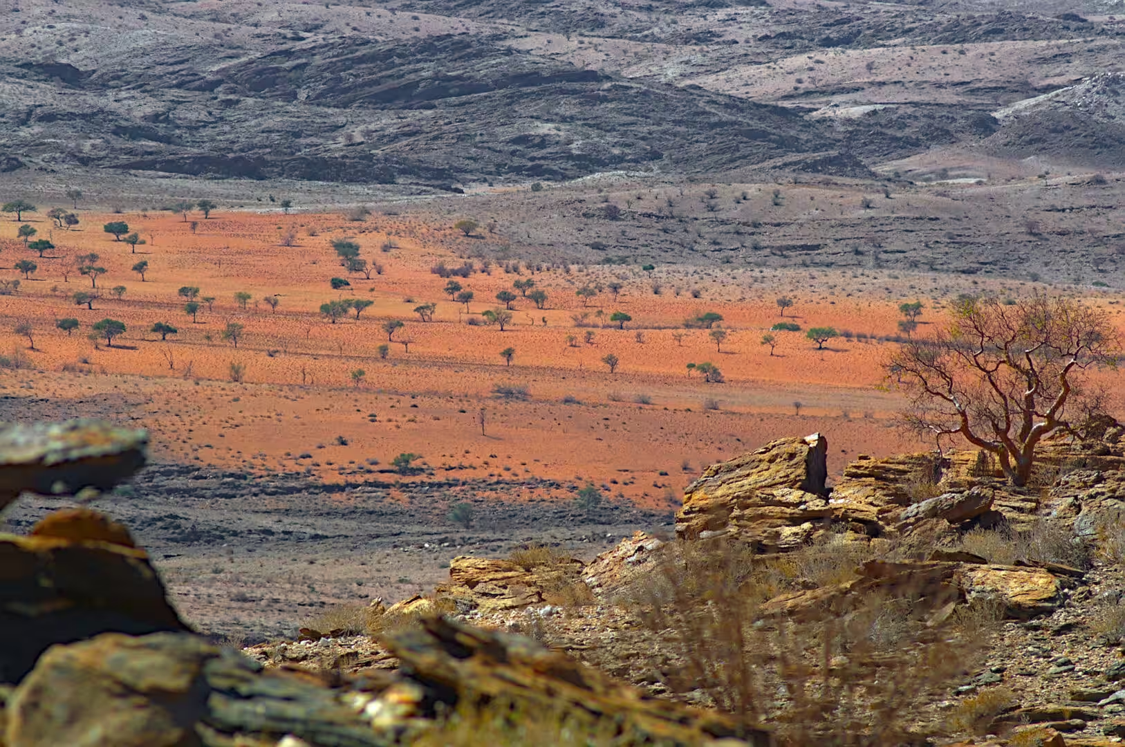
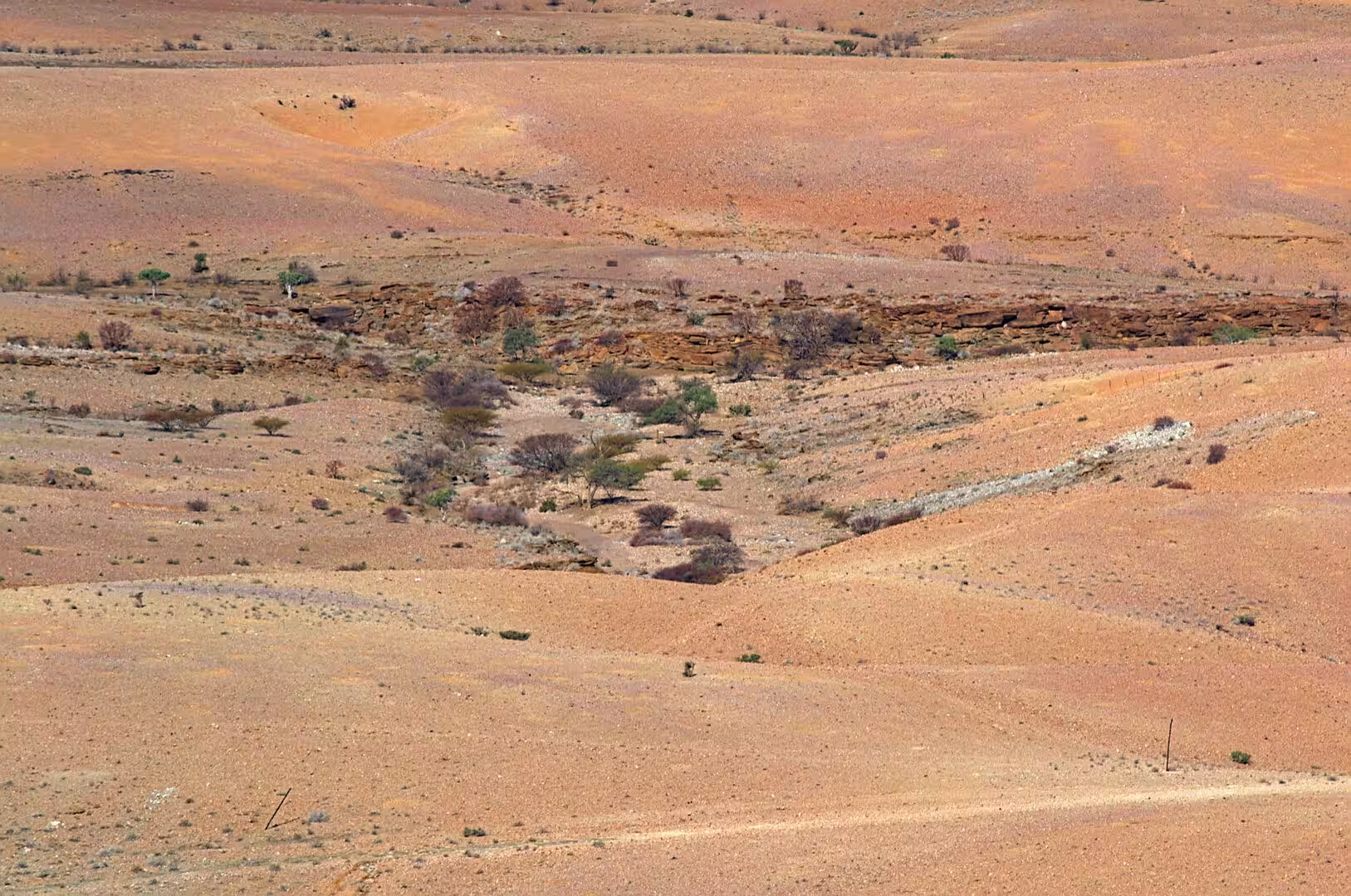
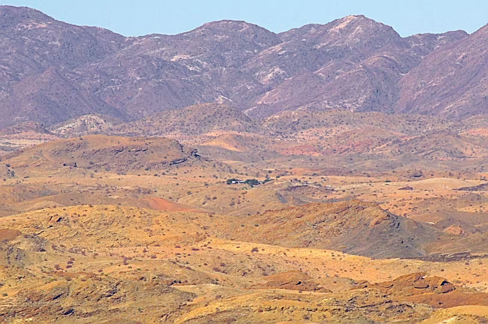
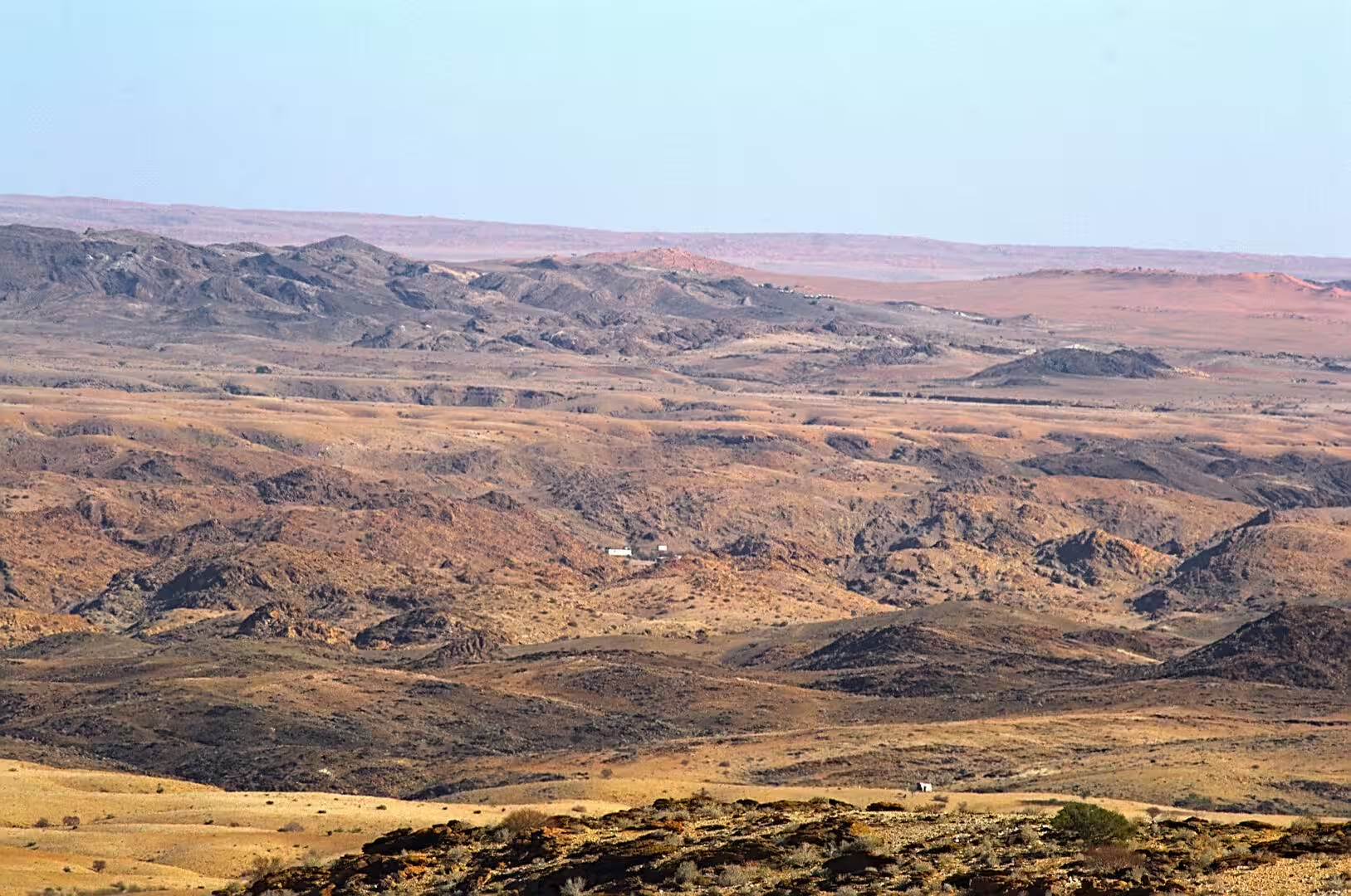
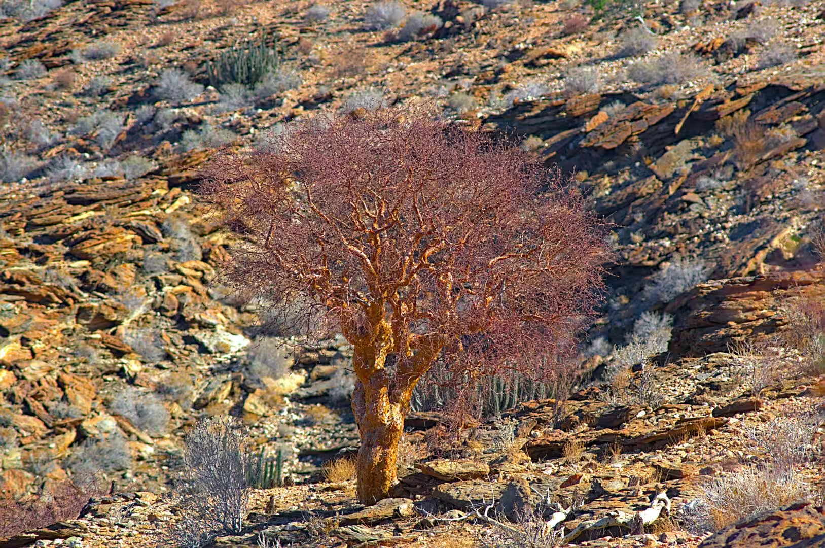
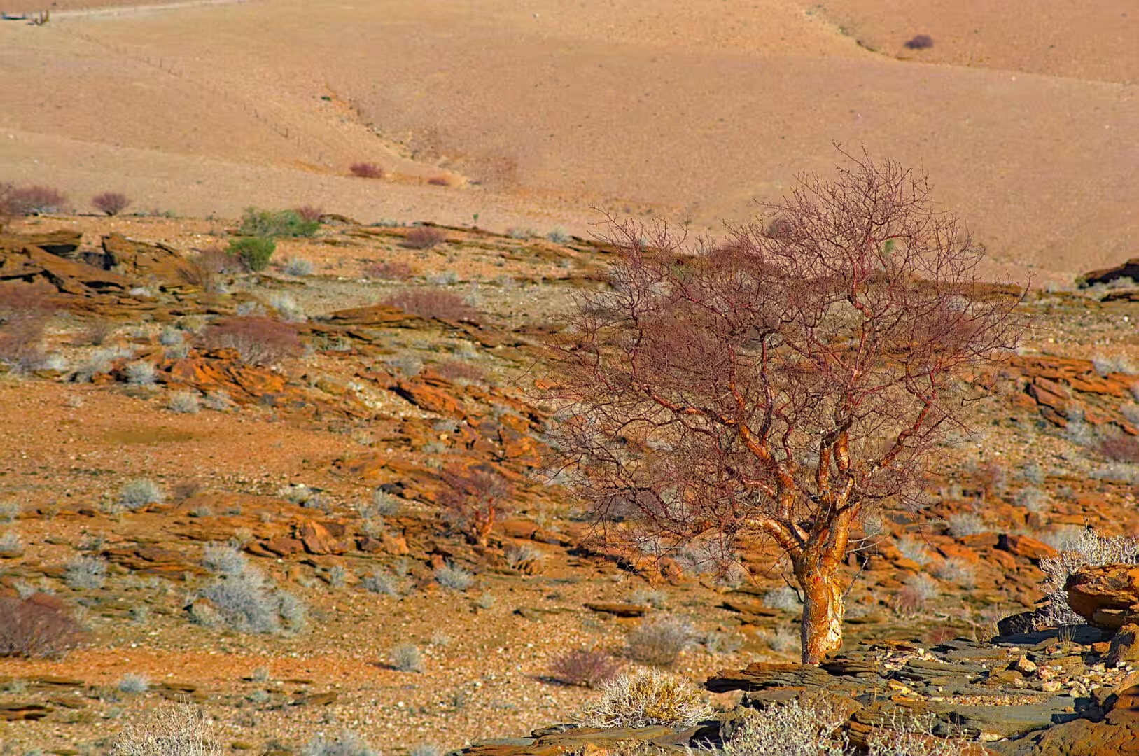
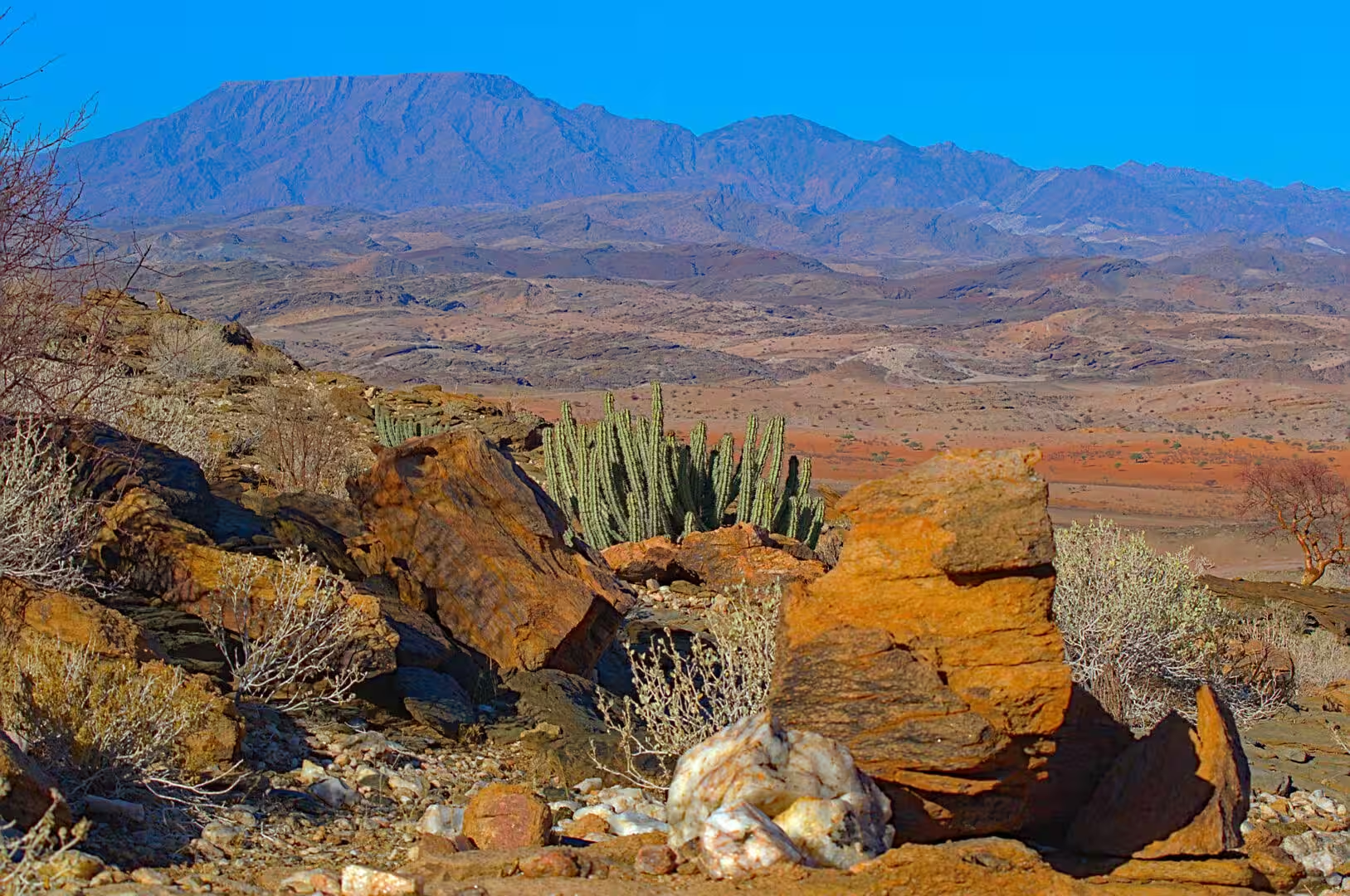
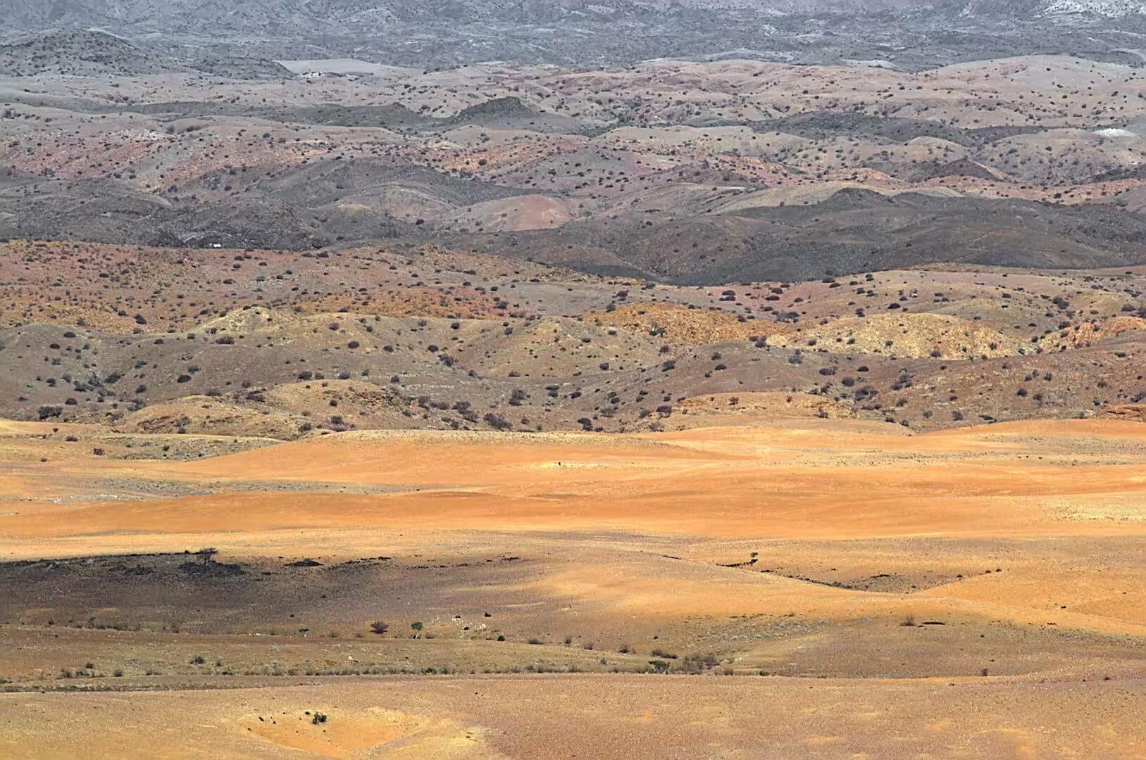
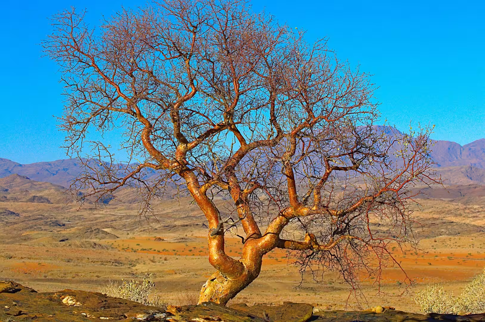
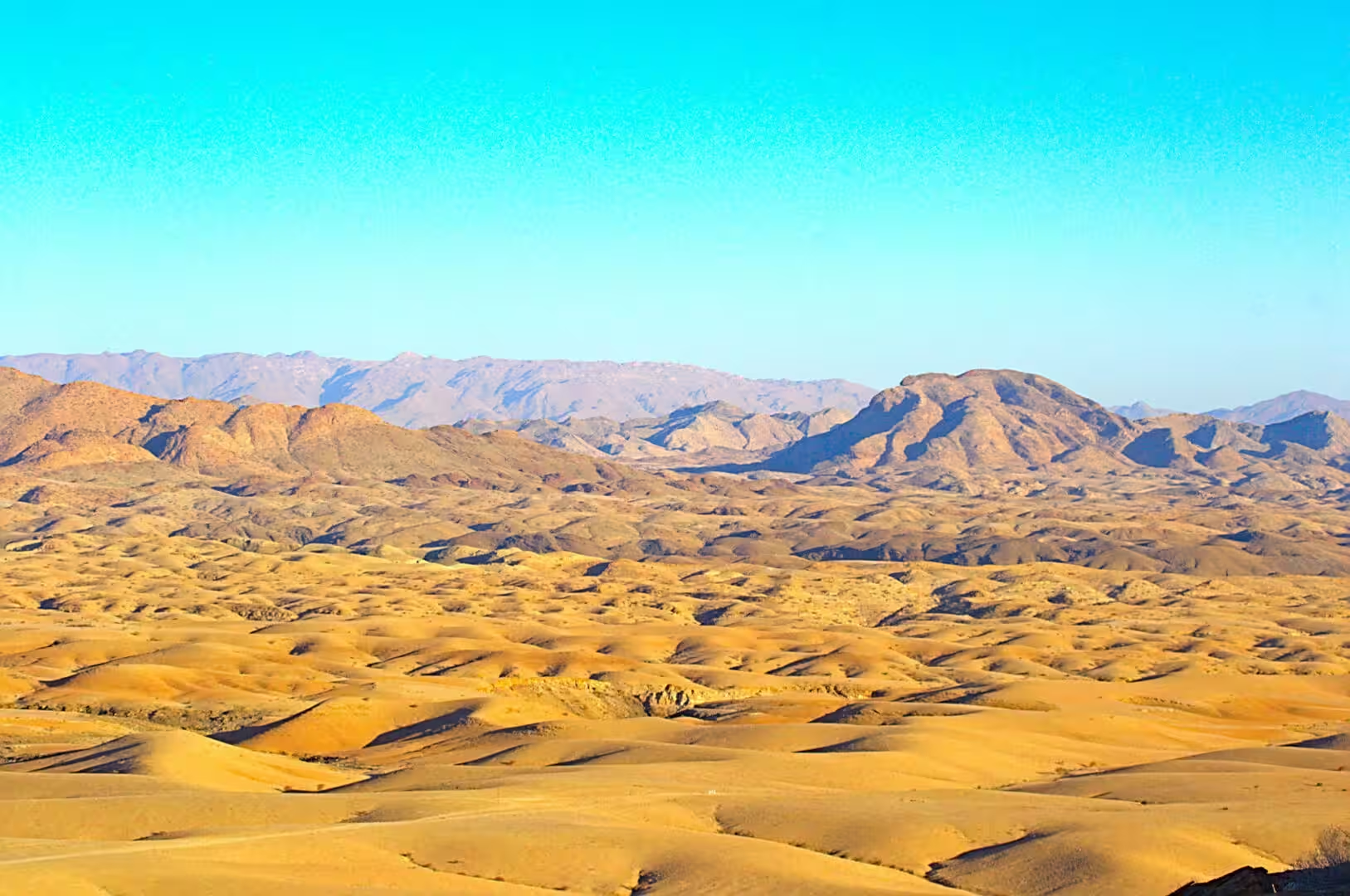
The sights of the day are the sights of the whole Namib. The orange dunes with their crowns of trees, the bare rocky watercourse winding between hills of red gravel, the layered ridges fading into a hazy range on the horizon, a single tree with reddish bark standing alone among orange boulders, and the candelabra shapes of the quiver trees rising from the rock towards a mesa. The country is enormous and its parts are small: a tree, a ridge, a belt of sand, and the space between them.
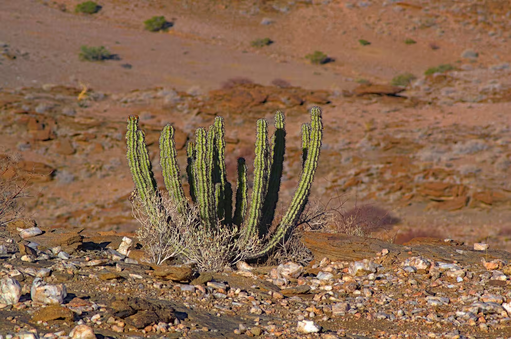
The plants got the attention of the day. The quiver trees of the slopes have the shape that the children draw when they draw a desert, the euphorbias and the ribbed succulents fill the spaces between the rocks, and the leafless trees of the riverbeds stand like sculptures in front of the dunes. The visitor who walks slowly enough to look at a single plant begins to understand how the desert is constructed: the water is stored in the trunk, the leaves are reduced to spines, and the surface is grey or pale to reflect the light.
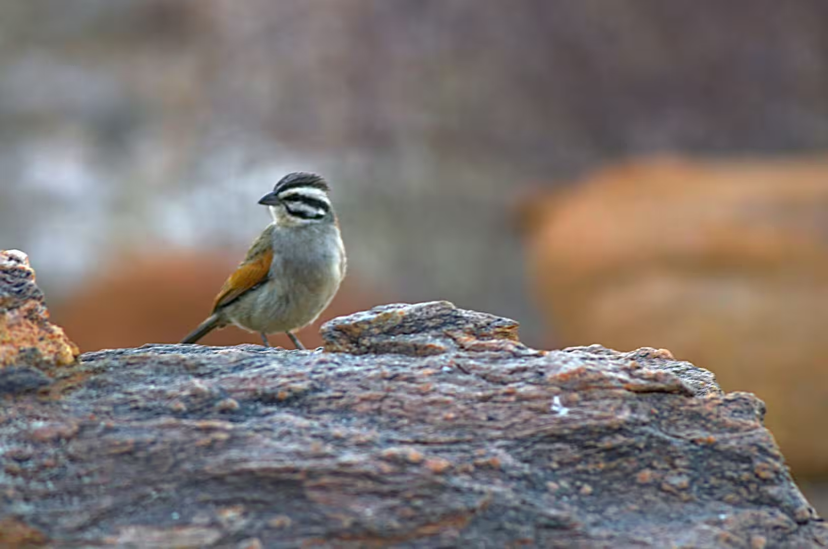
The bird of the day was the small one with the black and white striped head that stood on a red rock beside the track. It is one of the species that live in the scrub and on the stone of the Namib, it is at home in a country where the vegetation offers nothing to hide in, and it allowed the approach to a few paces. The evening was the fire and the stars again, with the temperature dropping and the sky doing what it does in a place with no towns in it.
History
The valley of the day lives from a decision taken by farmers in the 1980s. The land was divided into sheep and cattle farms in the colonial period, and by the middle of the twentieth century the grazing had degraded it: the grass was gone, the sand was moving, and the farms were failing. A group of owners in the country between the Naukluft and the dunes joined their land, took the stock off it, brought the game back and turned the whole into the private reserve that now runs from the mountains to the edge of the sand sea.
The reserve that the camp borders is one of the largest private conservation areas in Africa. The NamibRand Nature Reserve was founded in 1984 and has grown to more than two hundred thousand hectares of the south western Namib, it shares a long border with the national park, and it is financed entirely by the lodges and the fees of the visitors who stay in it. The model is copied across Namibia, and the animals that the visitor sees on the plains of the valley are the result of it.
The people of the valley have their own history of that land. The Nama and the San were the first inhabitants of the waterholes and the hunting grounds, the German and the Afrikaans speaking farmers took the land from them at the end of the nineteenth century, and the families who work on the farms and in the lodges today are in many cases their descendants. The visitor who asks the guide about the springs and the old graves of the valley will get a better history of the country than any museum provides.
The modern history of the valley is the history of its water. The farms were supplied from the boreholes that the first owners drilled, the reserves were only possible because the same boreholes could water the game, and the lodges that fill their pools today are drawing on the same underground resource as the sheep that used to graze there. In a country where the rain is a rumour and the rivers are dry, the right to the water under the ground is the right to the land above it.
The other half of the valley’s history is the modern one, and it is written in the fences and the gateways. The reserve that the camp borders is run as a single ecological unit, the internal fences between the old farms have been taken down, the game moves with the rain and the seasons, and the management of the whole is in the hands of the owners’ association. What the visitor sees from the track, an open country with the animals moving through it, is the product of a decision that the fences should come out, and it has become the model for the private reserves of the whole region.
Geology
The geology of the valley is the geology of the sand sea’s eastern edge. The dunes run in long ridges parallel to the coast, and the belts of red sand that cross the valley are the tongues of the system where the wind has carried the sand inland and the hills have trapped it. The colour of the sand is the colour of its history: the iron that coats the grains is oxidised by the long exposure to the air, and the deeper red of the older sand is the sign of a longer journey.
Below the sand lies the older desert. The gravel plains are surfaces of stone that the wind has polished, and the flat slabs and ledges that the walker crosses on the hillsides belong to the sandstone formation that the geologists know as the Tsondab. It was laid down in the riverbeds and the pans of a wetter Namib, hardened by the lime of the water, and then partly buried by the sand of the drier one. Where the sand has moved on, the old surface is exposed and the visitor walks on the floor of a river that dried up long before the desert was as it is now.
The hills of the valley are the inselbergs of the interior. They are made of granite and of the old metamorphic rocks of the continental crust, they stand above the plains because they are harder than the material around them, and the wind has polished and shaped them into the rounded forms that stand against the sky at the end of the day. The gravel of the plains below them is the same rock in pieces: the mountains that once covered the region have been broken up and spread out, and what remains of them stands as the hills that gave the valley its name.
The climate of the valley is the climate of a desert that is cooled by its own height. The plain stands eight hundred metres above the sea, the nights are cold in the winter, and the fog that waters the coastal strip does not reach this far inland: the plants and the animals depend on the summer rain and on the dew of the mornings. The swings between the day and the night, the dryness of the air and the transparency of the sky are the conditions that make the stars of the valley what they are.
The lichens of the gravel plains are the last piece of the desert’s biology and one of the strangest. They grow on the stones of the plains and of the hills, they are the product of a partnership between a fungus and an alga, and they live on the fog and the dew alone in a country where the rain is a rumour. The orange and grey patches that the walker takes for stains on the rock are the plants themselves, and they grow so slowly that a colony the size of a coin may be older than the country that surrounds it.
Things to See
The dunes are the sight of the region and the reason for the early start. The lodges of the valley run the sunrise drives to the belts of sand on the edge of the valley, the visitor who climbs a ridge in the dark has the whole of the dune country to themselves, and the light that comes up over the sand does what the whole industry of the region promises. The Sossusvlei area with its clay pan and its great dunes lies further north, and the drives are booked the evening before.
The plants of the valley are the other sight of the day and the one that stays with the visitor the longest. The quiver trees, the euphorbias, the camelthorns, the !nara melons of the dunes and the lichens of the plains are all within a walk of the camps, and the guides of the lodges explain how each of them survives: where the water is stored, when the leaves are shed, why the plants of the desert are so often grey or pale. A morning with a guide in this country is worth a week of driving through it.
The birds and the small animals fill the day between the sights. The camps and the lodges of the valley have water points that draw the birds of the region, the tracks of the dunes show the passing of the jackals, the foxes and the small rodents of the night, and the guide who knows the country will find the geckos, the lizards and the scorpions of the rocks. The wild animals of the plains are there as well: the oryx, the springbok, the zebras of the mountains and the ostriches that walk the skyline in the afternoon.
The stars of the valley are the last sight of the day and a reason in themselves to stay in it. The reserve around the camp is protected for the darkness of its sky, the lodges keep their lights low, and the Milky Way, the Magellanic Clouds and the Coalsack stand over the fire in a way that no visitor from Europe has ever seen. The moonless winter nights are the best of them, and the guided star walks that some of the lodges offer are the way to learn the southern sky.
The practical advice for the valley is the advice for the whole Namib. The camps are far from the next town, the roads are sand and gravel and are best driven in the cool hours, the water has to be carried and the fuel should be taken at every opportunity, and the trips into the dunes are made with the guides of the lodges rather than alone. The winter months are the best of the year for the region, and the traveller who plans a day of rest in a place like this one will remember it longer than the days that were spent driving.
References
- Wikipedia contributors (2026). Namib. en.wikipedia.org/wiki/Namib
- Wikipedia contributors (2026). Namib-Naukluft National Park. en.wikipedia.org/wiki/Namib-Naukluft%20National%20Park
- Wikipedia contributors (2026). NamibRand Nature Reserve. en.wikipedia.org/wiki/NamibRand%20Nature%20Reserve
- Wikipedia contributors (2026). Sossusvlei. en.wikipedia.org/wiki/Sossusvlei
- Wikipedia contributors (2026). Deadvlei. en.wikipedia.org/wiki/Deadvlei
- Wikipedia contributors (2026). Naukluft Mountains. en.wikipedia.org/wiki/Naukluft%20Mountains
- Wikipedia contributors (2026). Hardap Region. en.wikipedia.org/wiki/Hardap%20Region
- Wikipedia contributors (2026). Quiver tree. en.wikipedia.org/wiki/Quiver%20tree
- Wikipedia contributors (2026). Welwitschia. en.wikipedia.org/wiki/Welwitschia
- Wikipedia contributors (2026). Namibia. en.wikipedia.org/wiki/Namibia
- Wikipedia contributors (2026). Springbok. en.wikipedia.org/wiki/Springbok
- Wikipedia contributors (2026). Greater kudu. en.wikipedia.org/wiki/Greater%20kudu
- Lancaster N. (2026) Dune Sediments. The Namib Sand Sea. 47-80. doi.org/10.1201/9781003763185-4
- Henschel J.R., Seely M.K. (2000) Long-term growth patterns of Welwitschia mirabilis, a long-lived plant of the Namib Desert (including a bibliography). Plant Ecology. 150. 7-26. doi.org/10.1023/a:1026512608982
- du Toit J.C., van den Berg L., van Lingen M., Goodall V.L., et al. (2022) Catastrophic collapses of sensitive species, including the quiver tree (Aloidendron dichotomum), following fire in the arid Nama-Karoo, South Africa. Journal of Arid Environments. 201. 104737. doi.org/10.1016/j.jaridenv.2022.104737