2024 Australia - February - Brisbane




































Journal Notes
General
Brisbane is the capital of the state of Queensland and the third most populous city in Australia. Greater Brisbane counted about 2.83 million inhabitants in June 2025, and the wider region of South East Queensland, of which the city forms the centre, about 4.1 million. The urban area spreads across the hilly floodplain of the Brisbane River valley between Moreton Bay and the forested ranges of the hinterland, and it is governed by several councils; the inner City of Brisbane, created in 1925 by amalgamating the councils of the metropolitan area, remains the most populous local government area in the country.
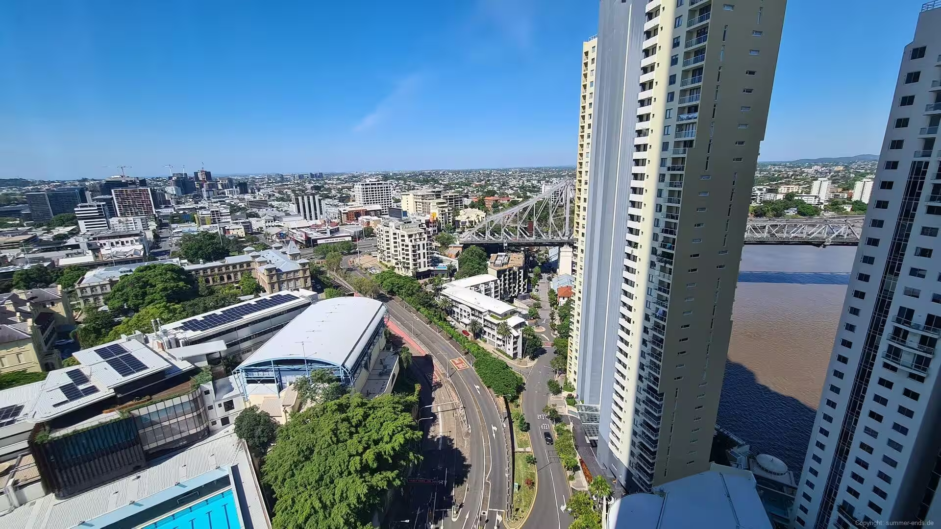
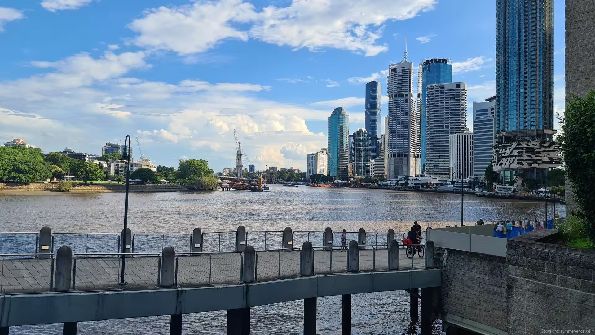
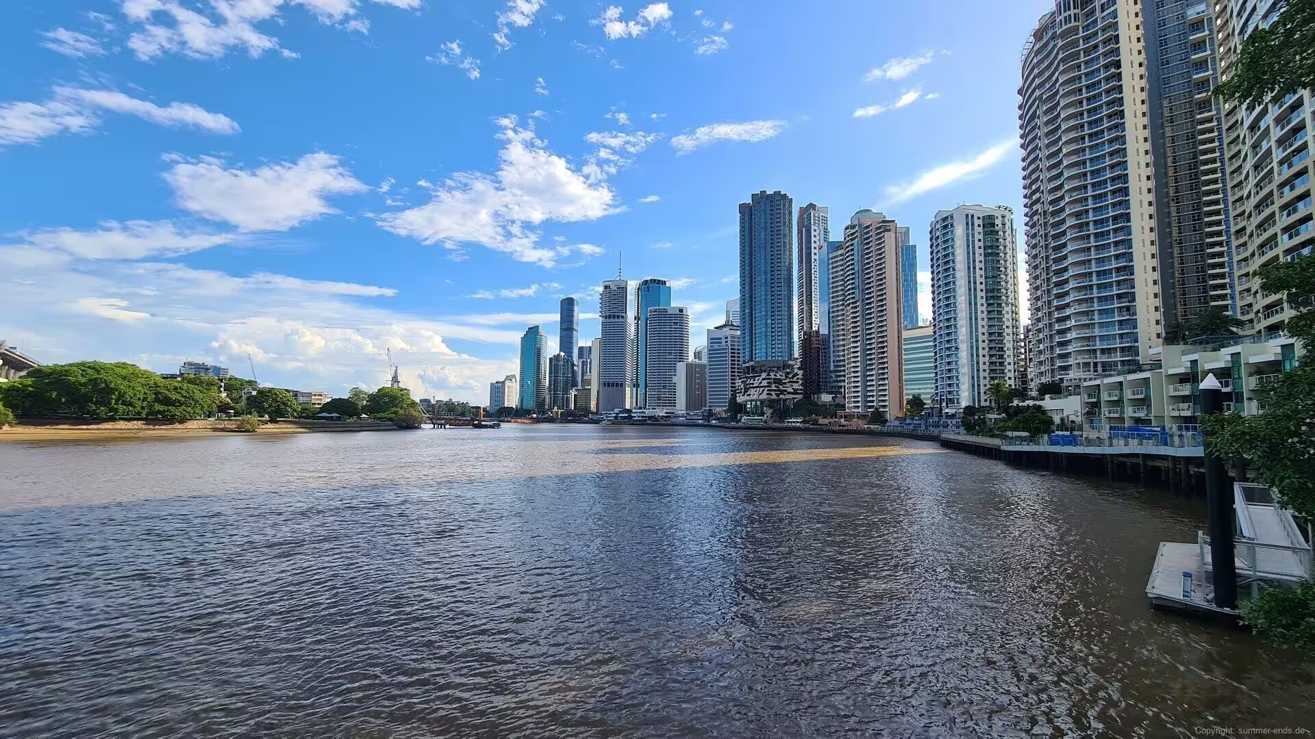
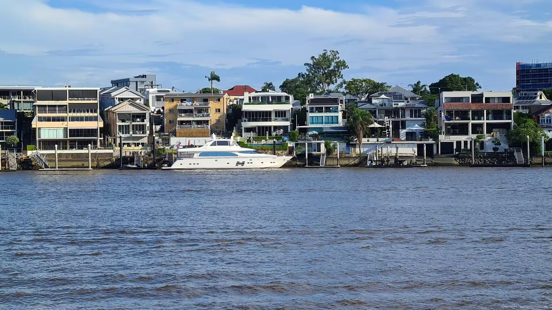
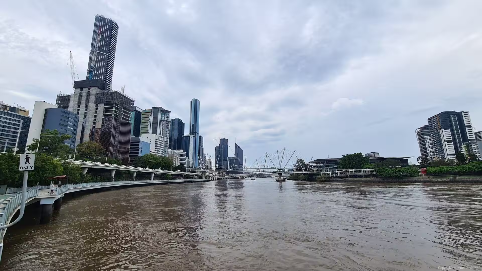
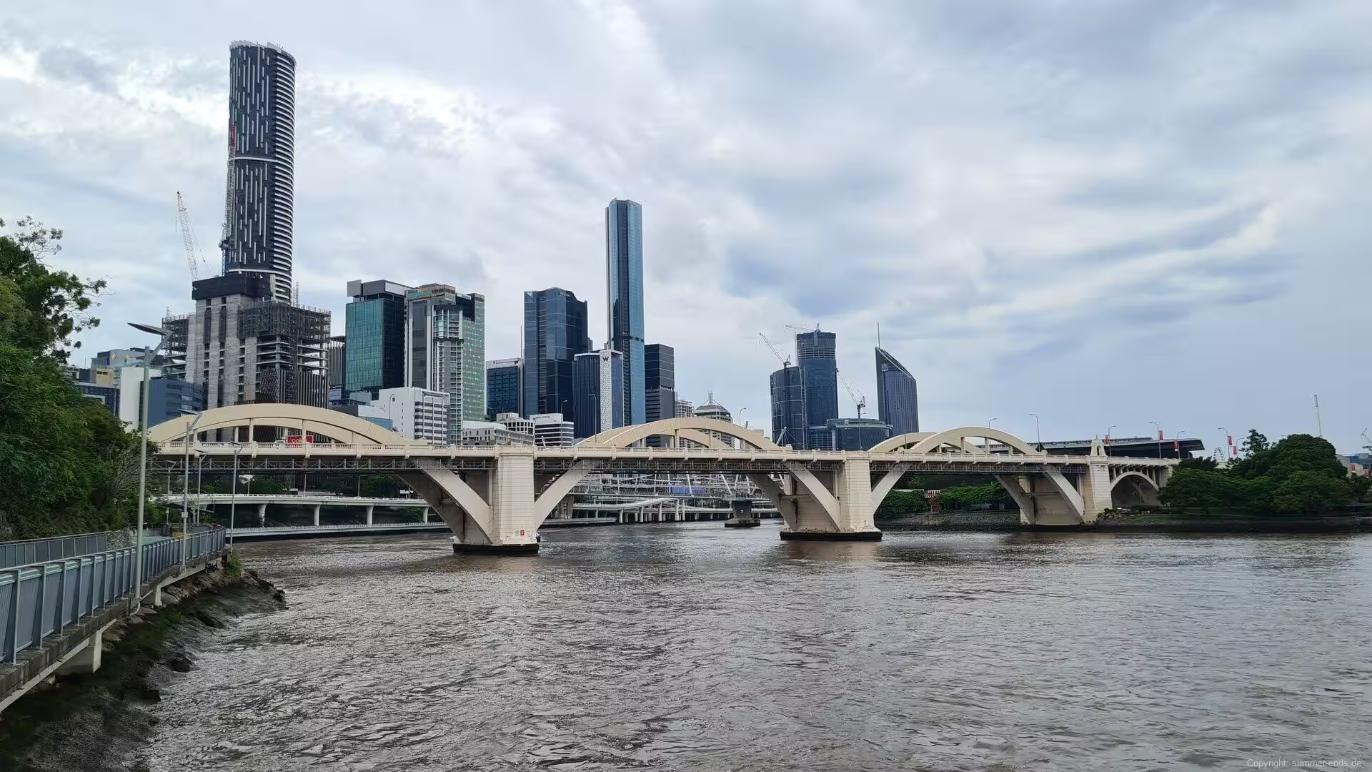
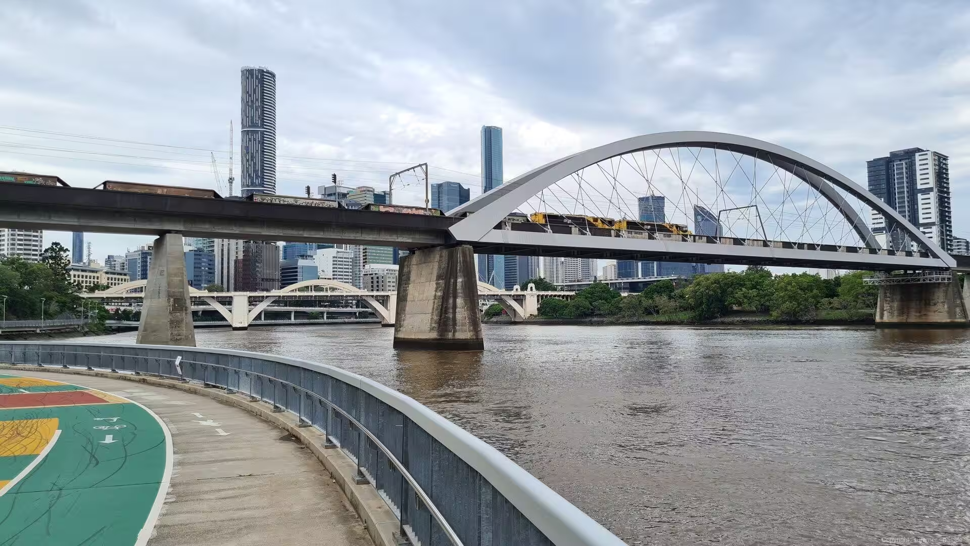
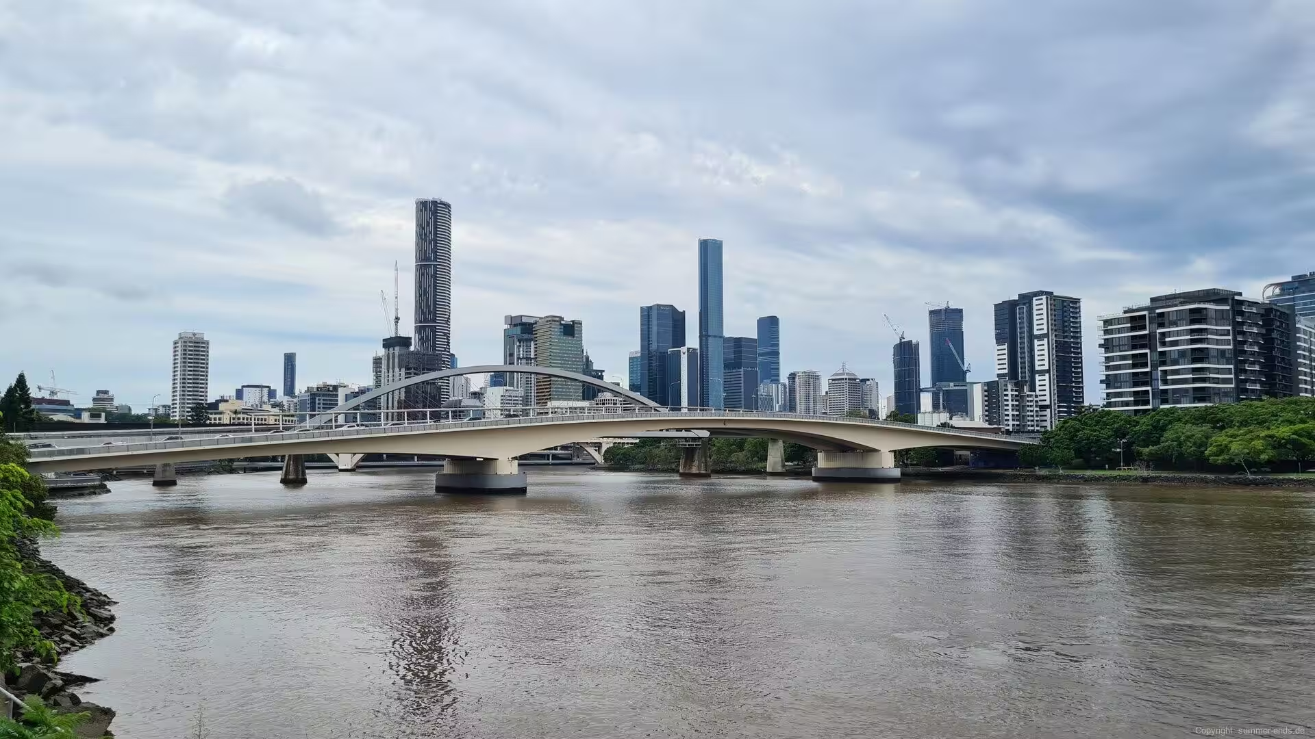
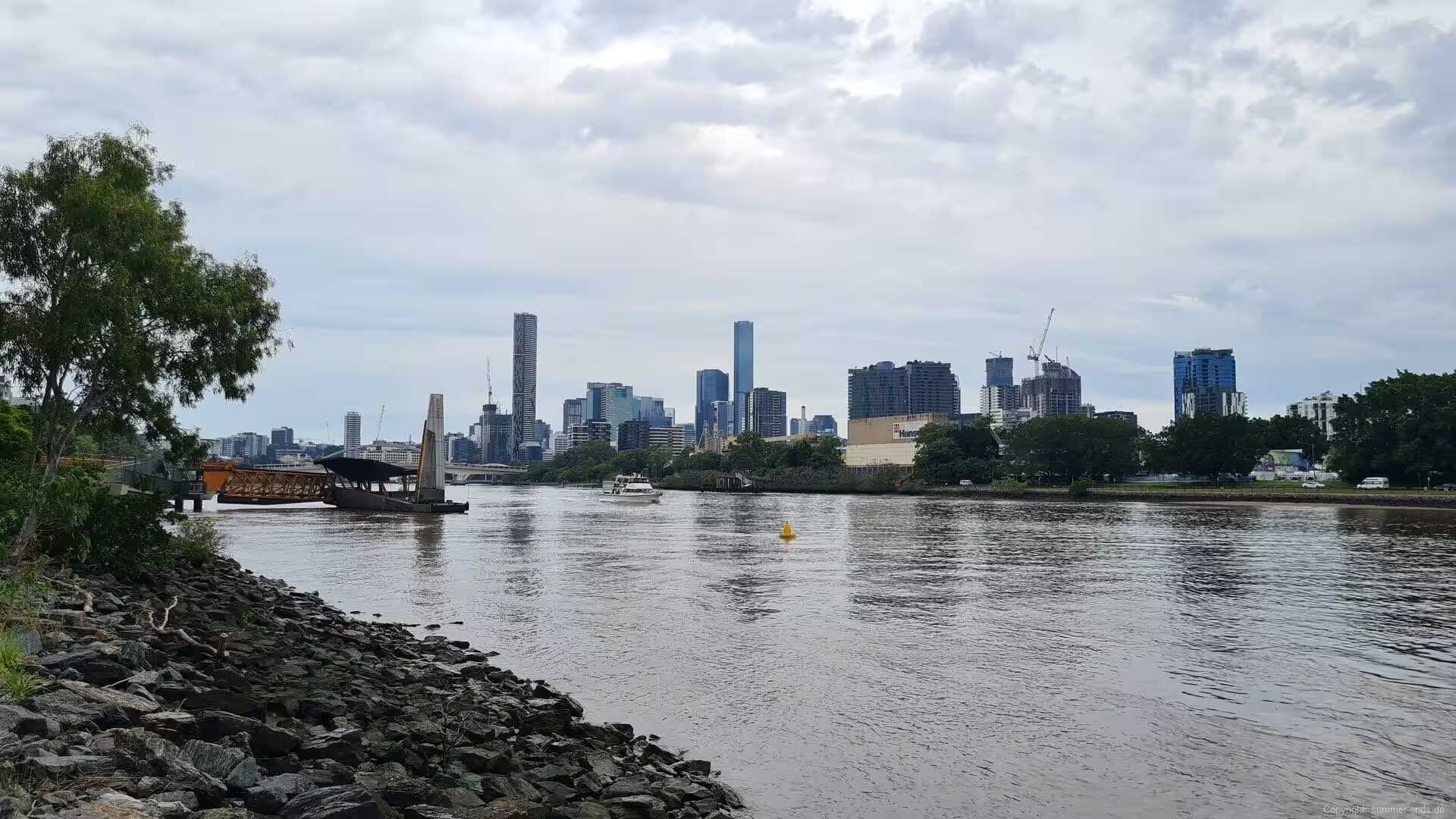
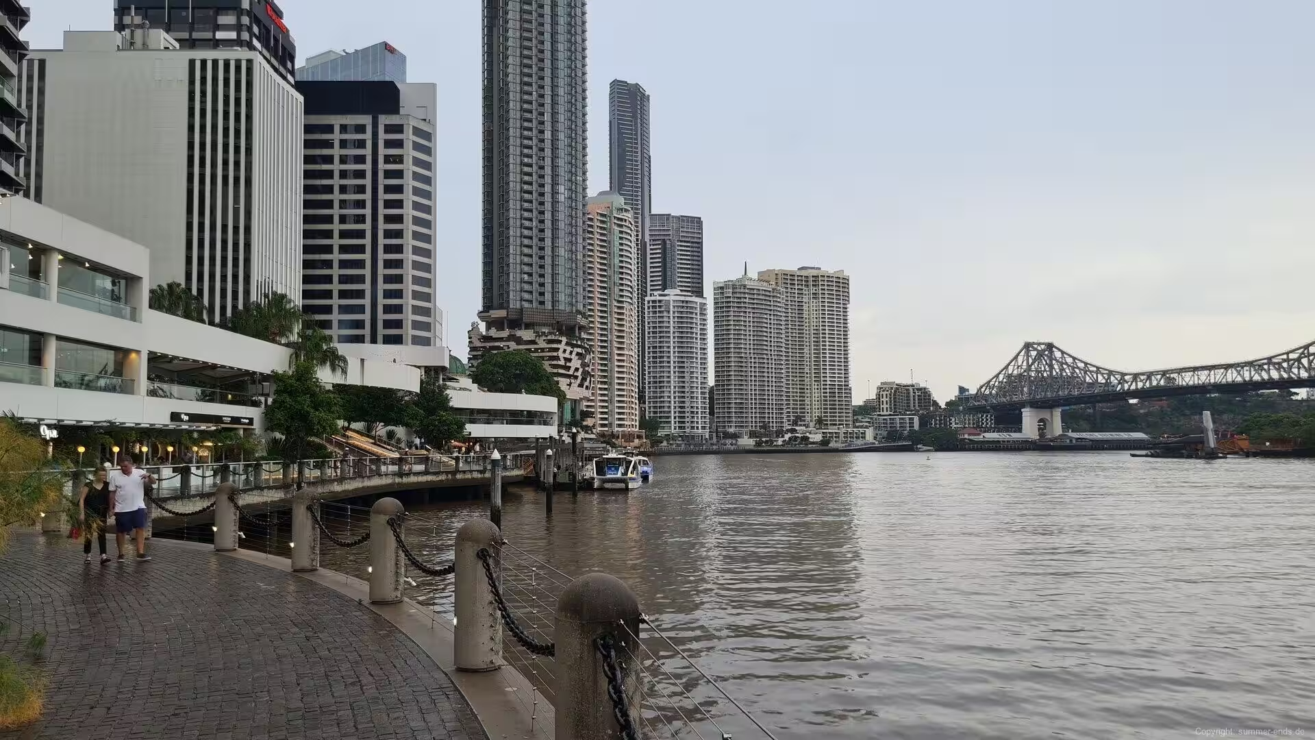
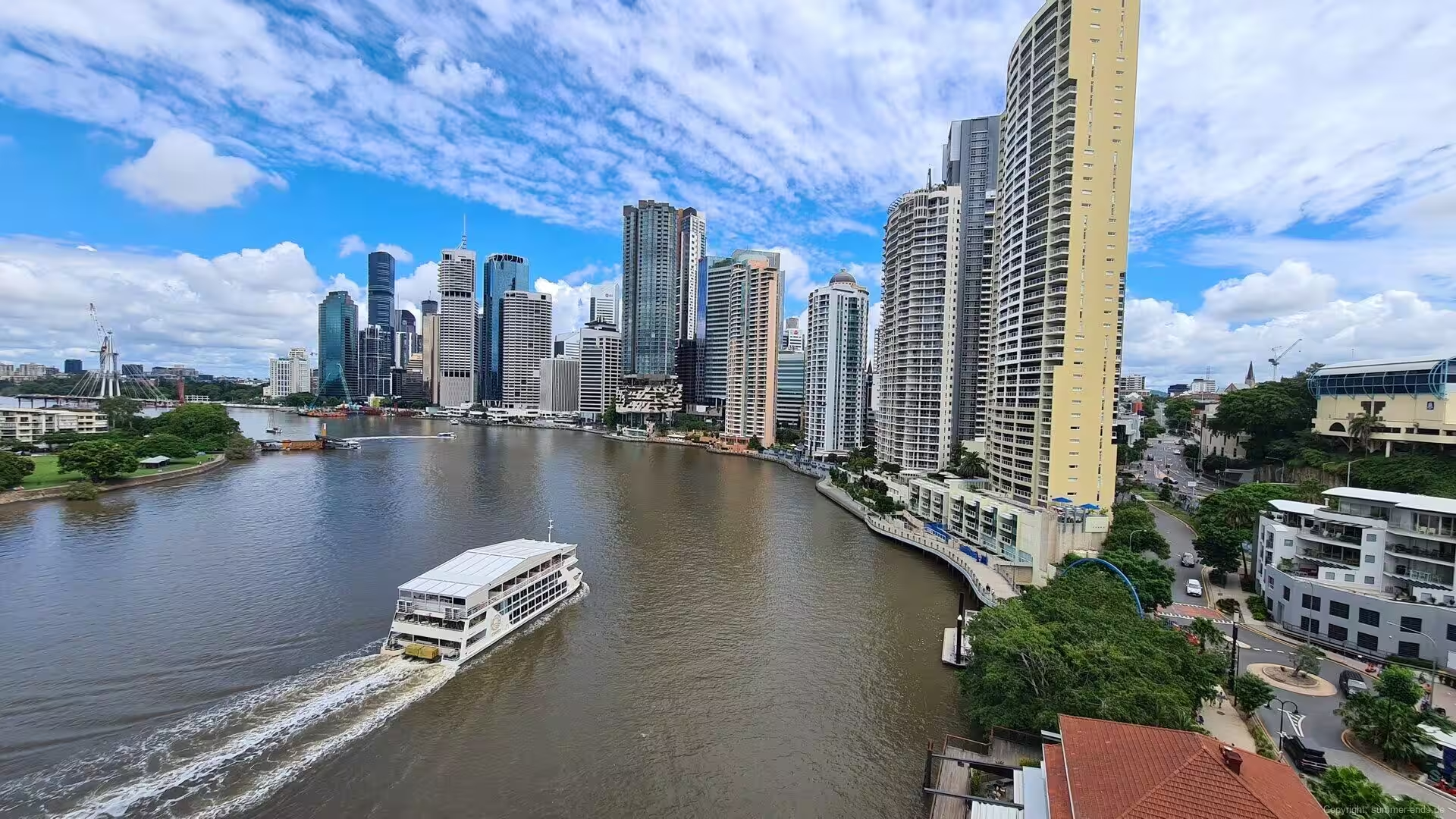
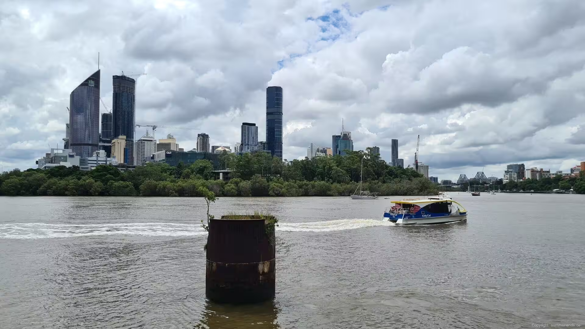
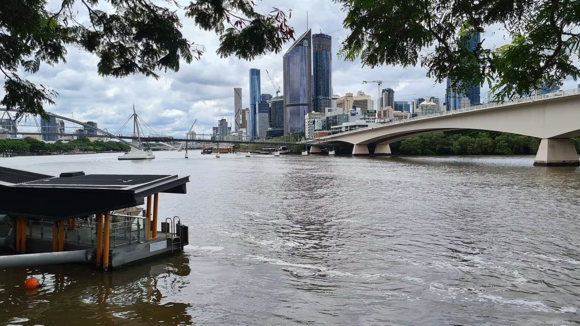
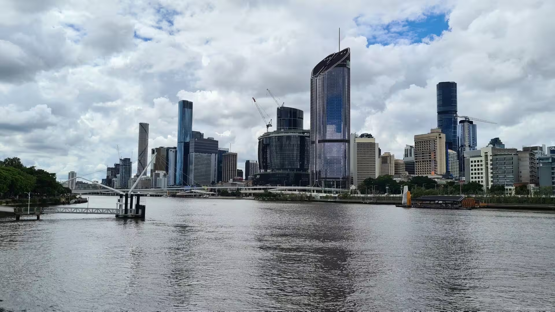
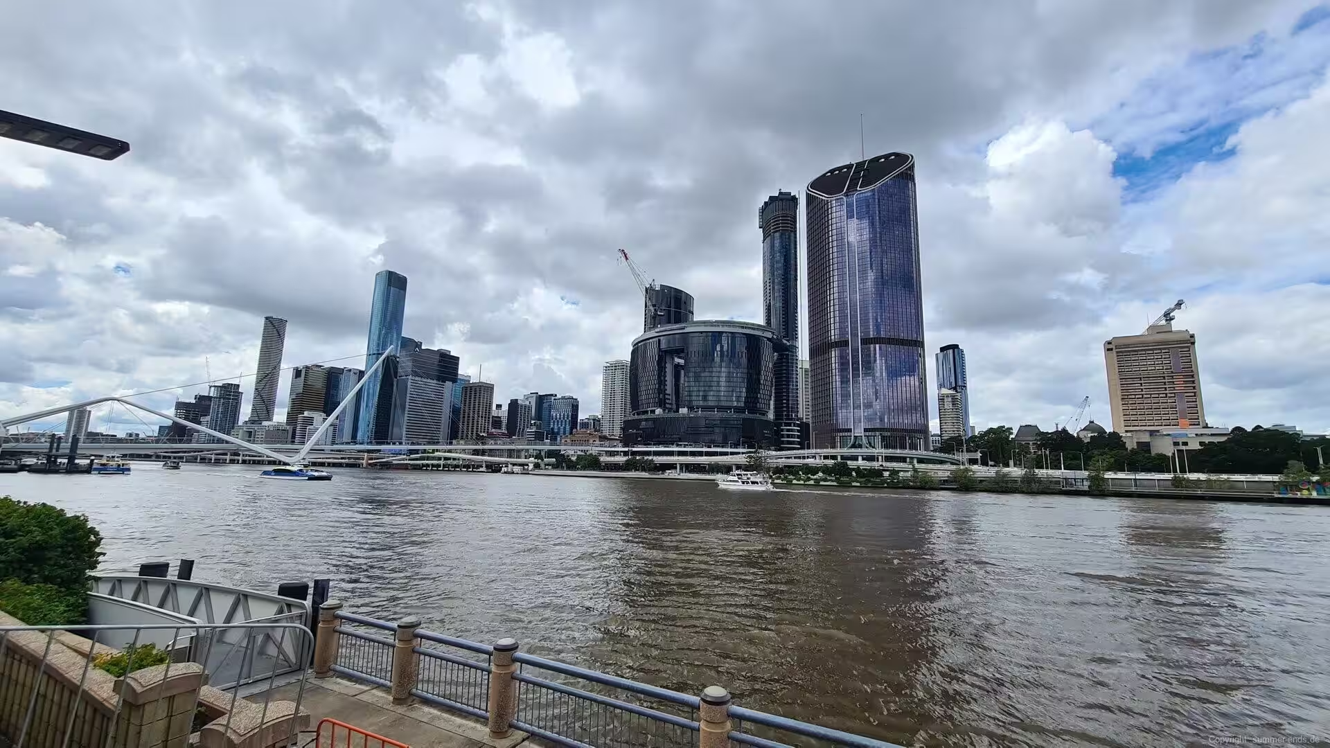
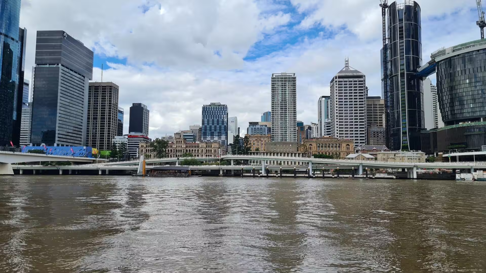
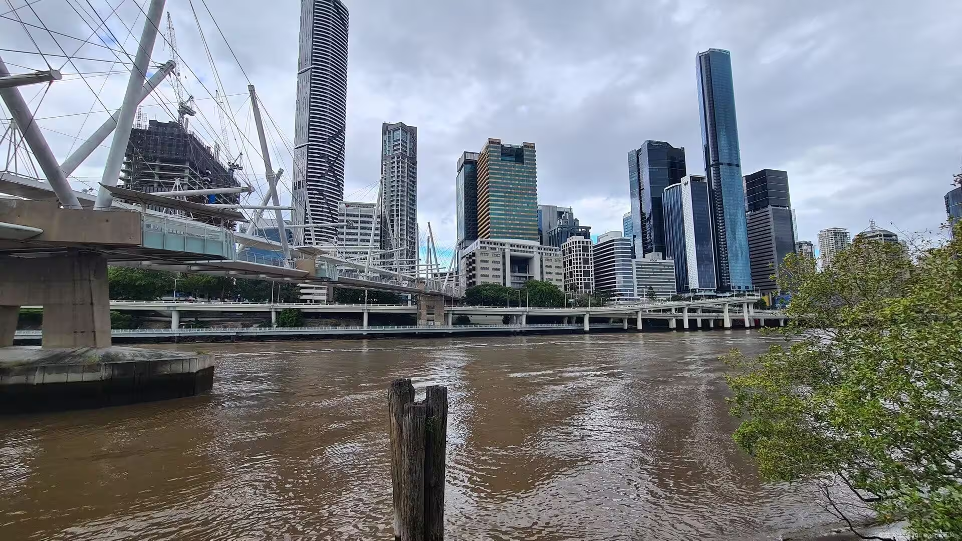
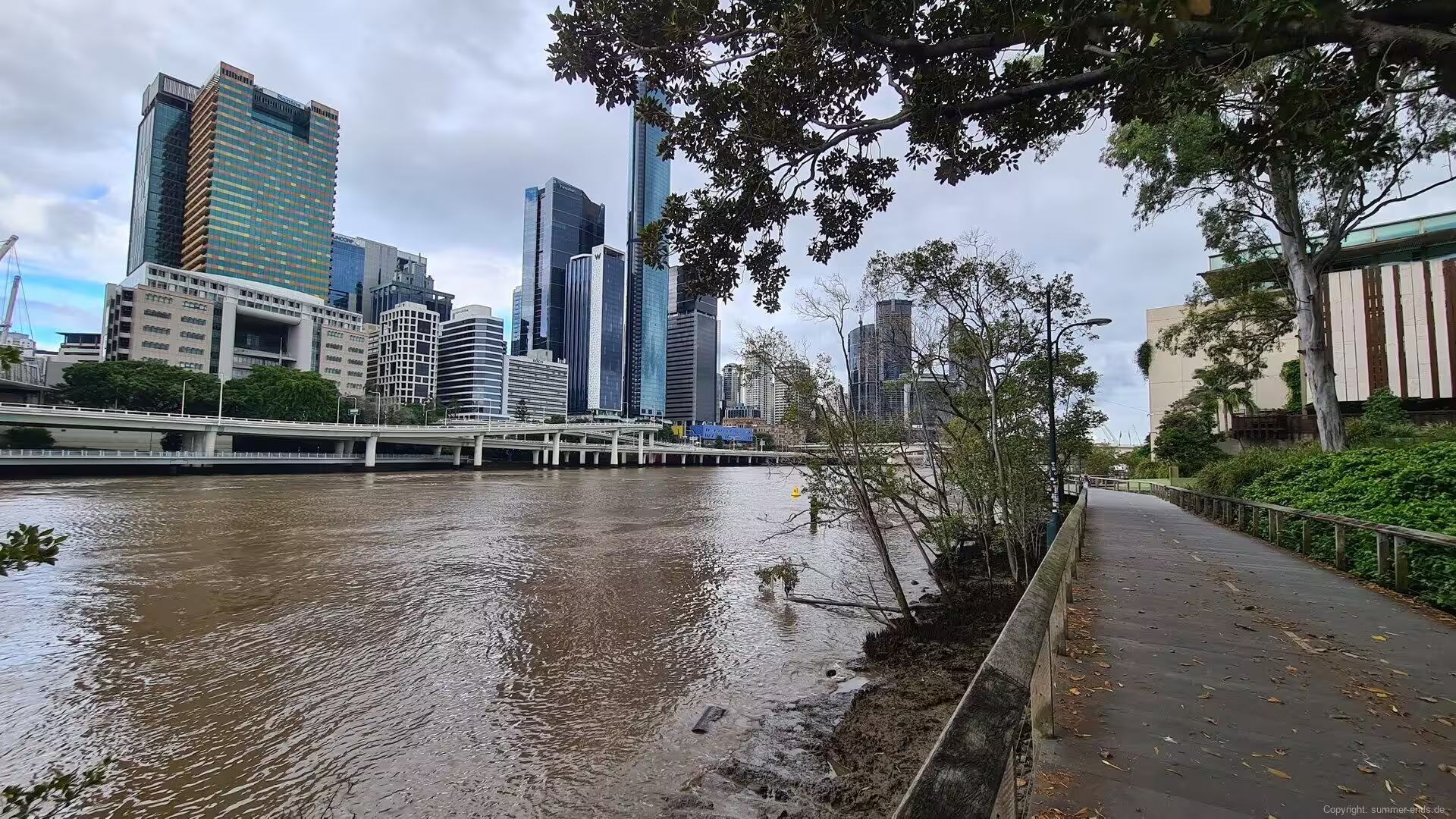
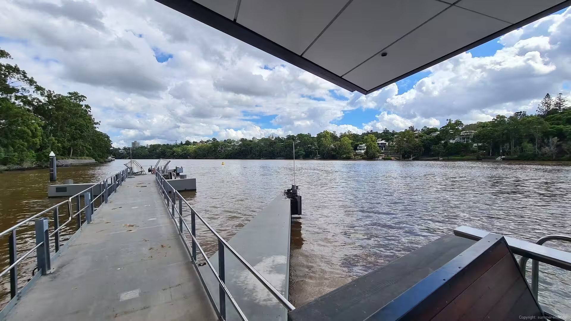
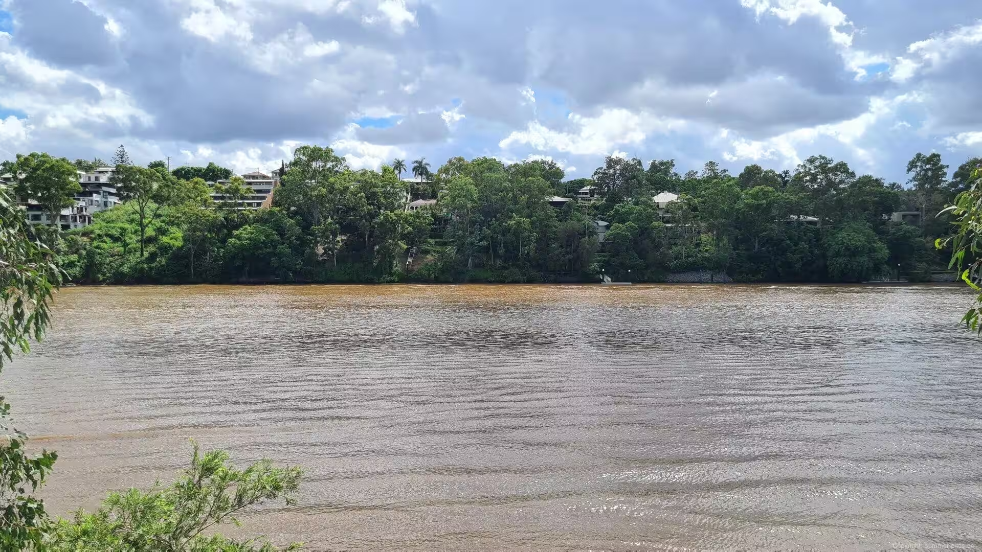
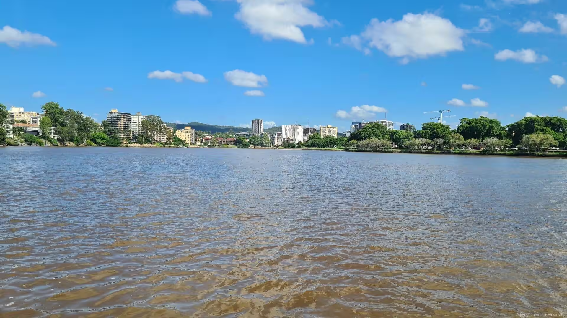
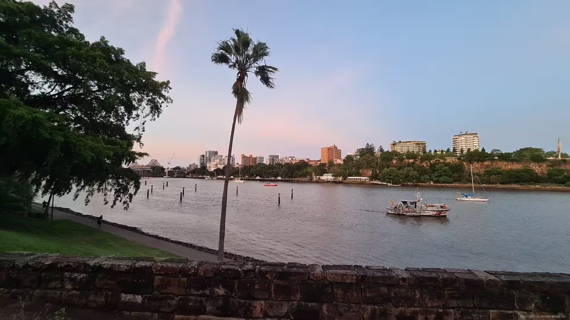
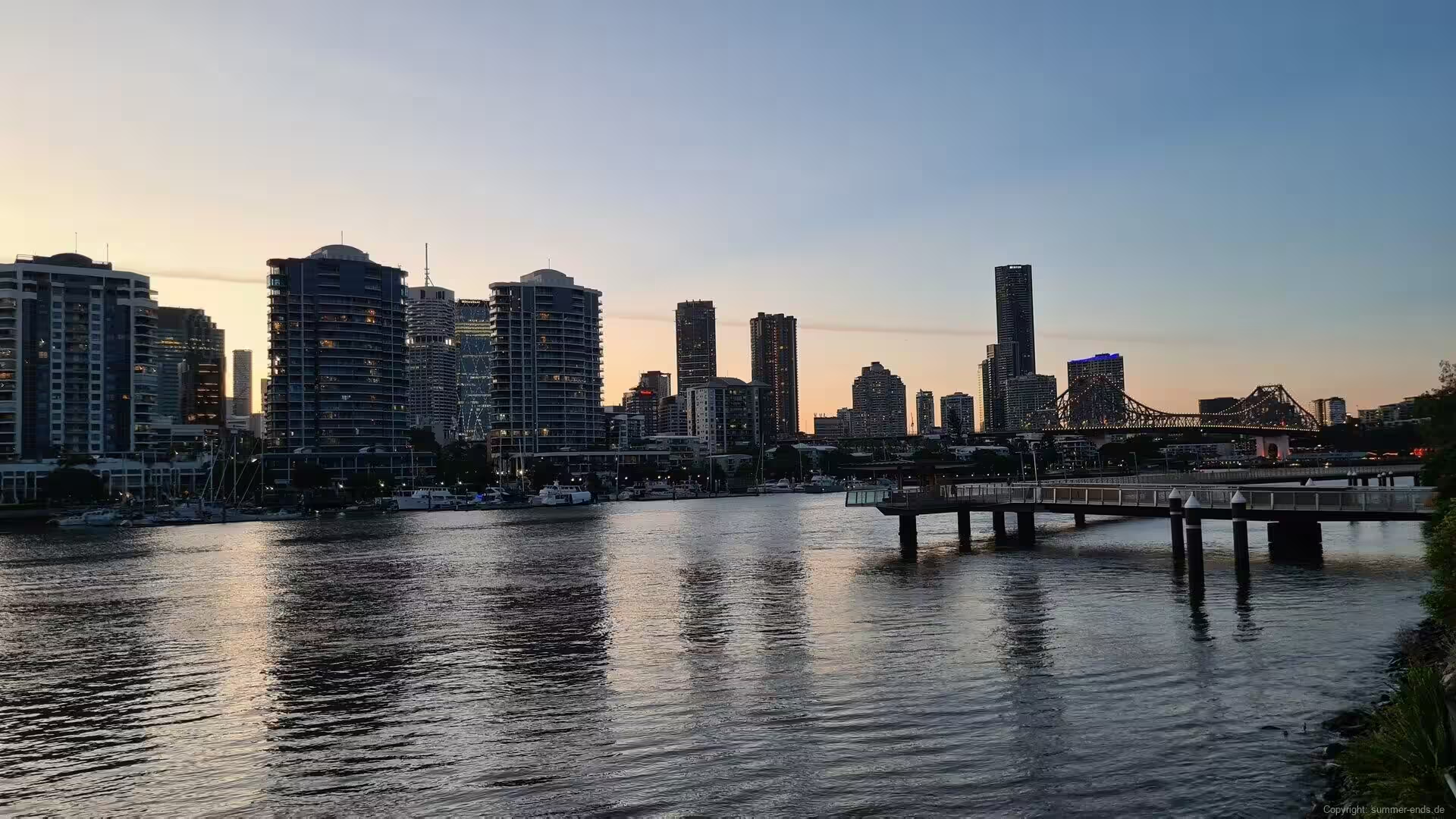
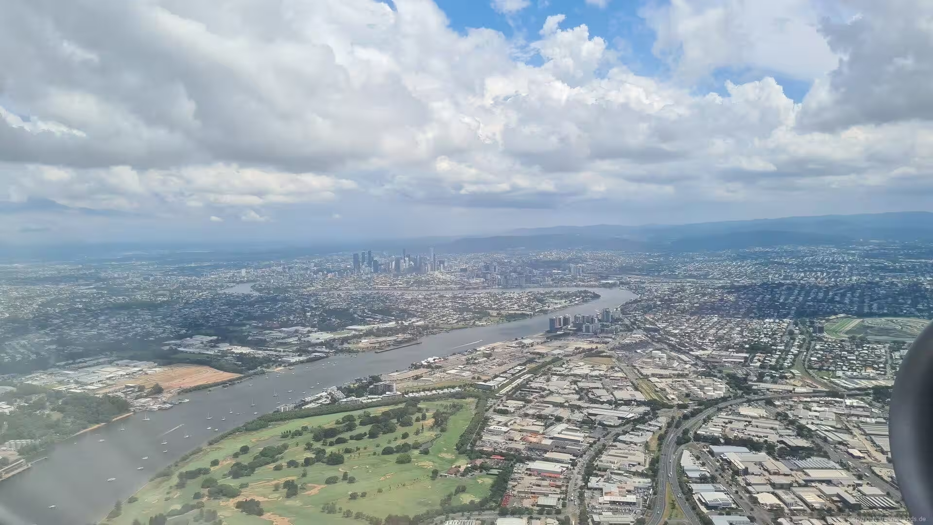
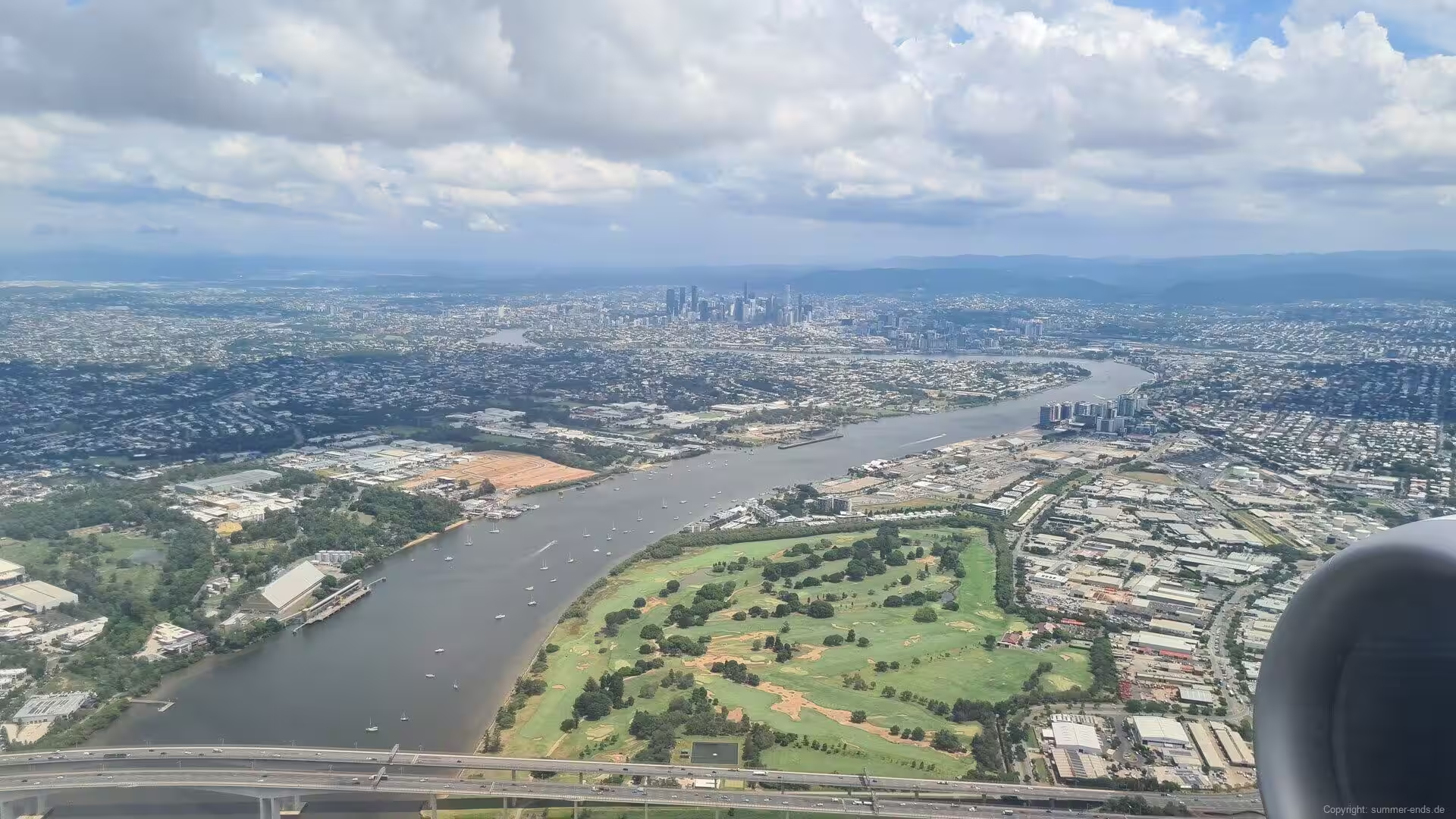
The heart of the city is a tight peninsula of the Brisbane River, well upstream from the river mouth at Moreton Bay, where the water bends around the central business district in a series of close meanders. The river, known in the languages of the local Aboriginal peoples as Maiwar, is the spine of the metropolitan region: it carries the ferries, divides the northern and southern halves of the city and gives Brisbane its widely used nickname, the River City. Its water is famously brown, loaded with the fine silt of the catchment, and Brisbanites affectionately call the river the Brown Snake.
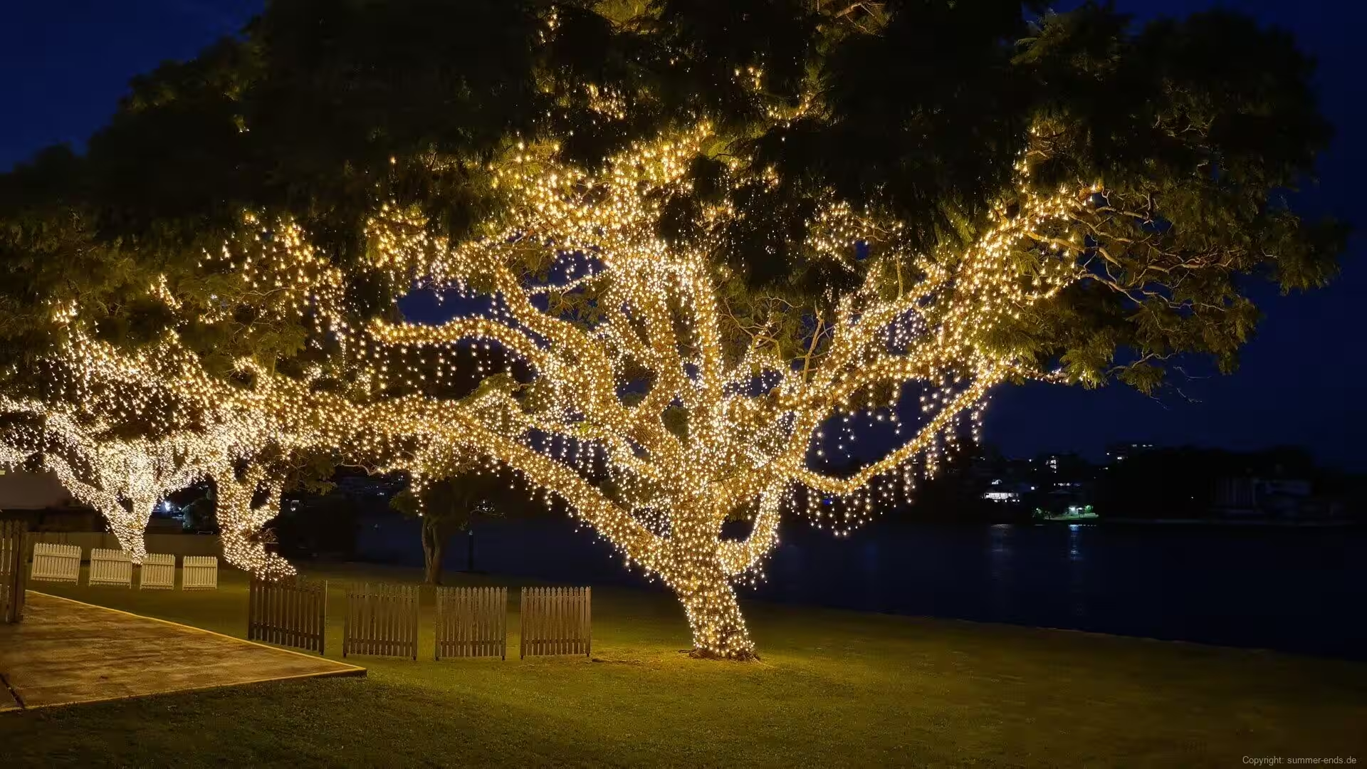
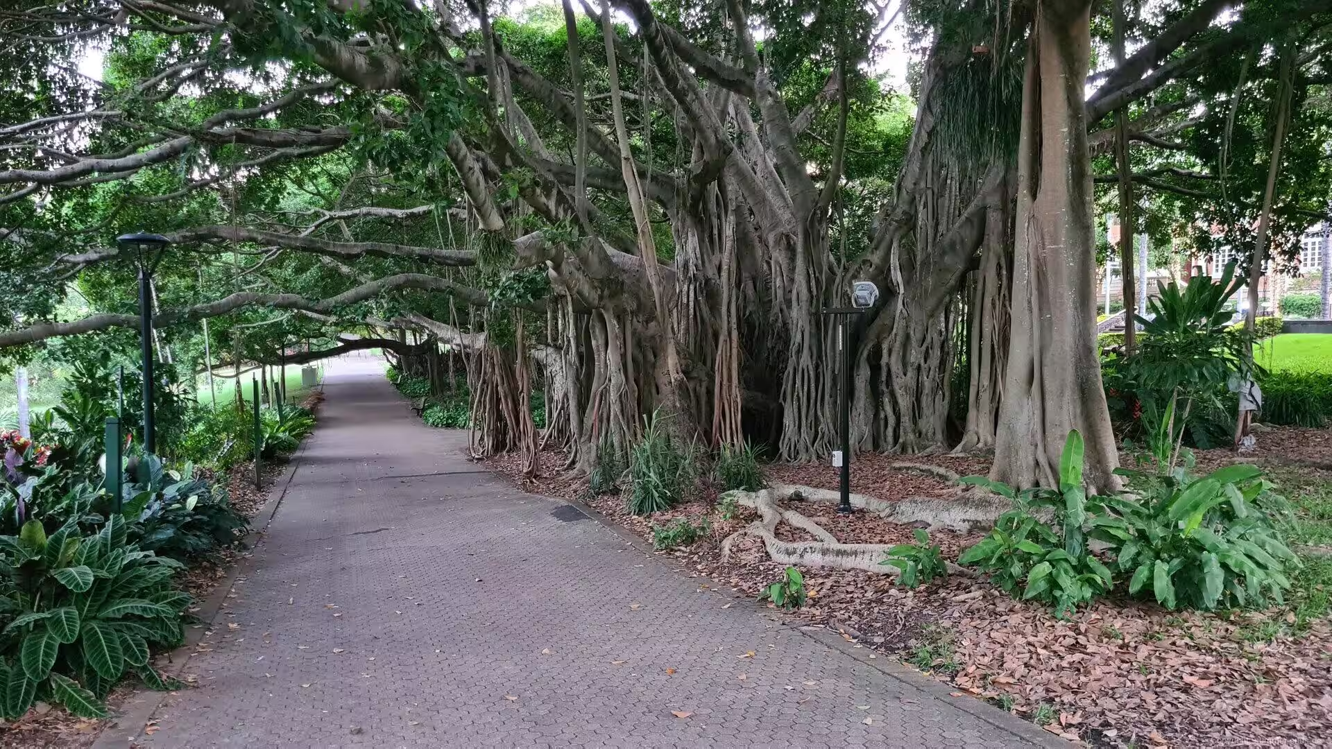
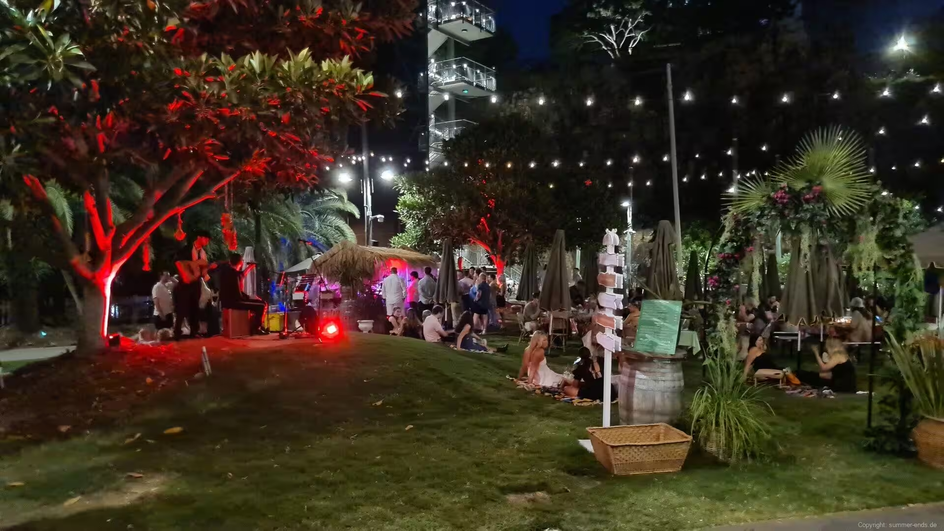
Brisbane has a humid subtropical climate, classified Cfa in the Koppen system, with hot and humid summers, mild and comparatively dry winters and a high number of sunny days. It is the second hottest of the Australian capital cities after Darwin, and thunderstorms roll across the city from November to March, sometimes with hail and damaging winds. The climate shapes the life of the city: parks and riverfront walks are busy throughout the year, verandahs and subtropical gardens belong to the architecture, and October brings the purple bloom of the jacarandas that line many avenues and parks. In the inner city the great Moreton Bay figs, with their broad buttressed trunks, are lit with decorative lights at night.
Brisbane is the administrative, commercial and cultural centre of Queensland, with an economy built on government, education, health care, finance, professional services, tourism and a large port at the mouth of the river. The city has hosted the Commonwealth Games of 1982, World Expo 88 in 1988 and the G20 summit of 2014, and it is preparing to host the Olympic and Paralympic Games of 2032. Its universities, among them the University of Queensland and the Queensland University of Technology, anchor one of the country’s major research regions, and the city is the gateway to the beaches of the Gold and Sunshine Coasts, to the islands of Moreton Bay and to the rainforests and ranges of the Queensland hinterland.
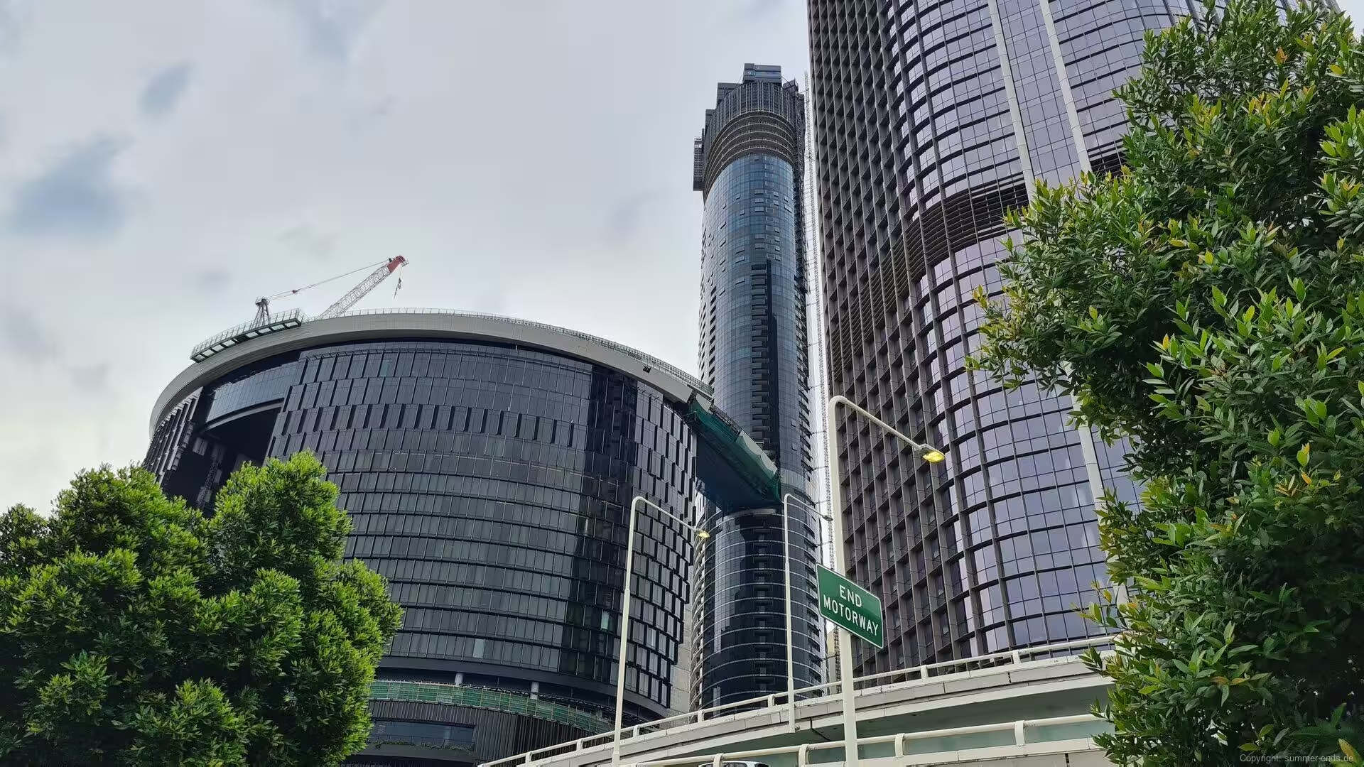
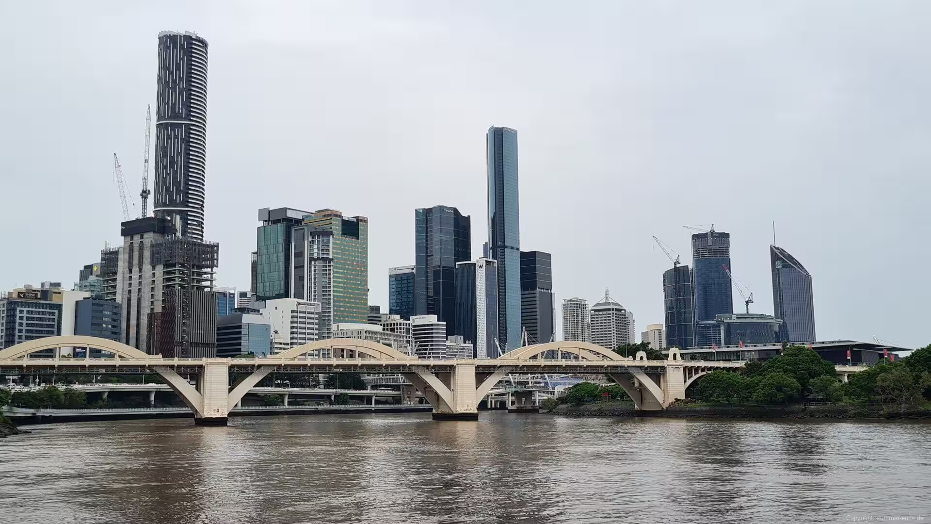
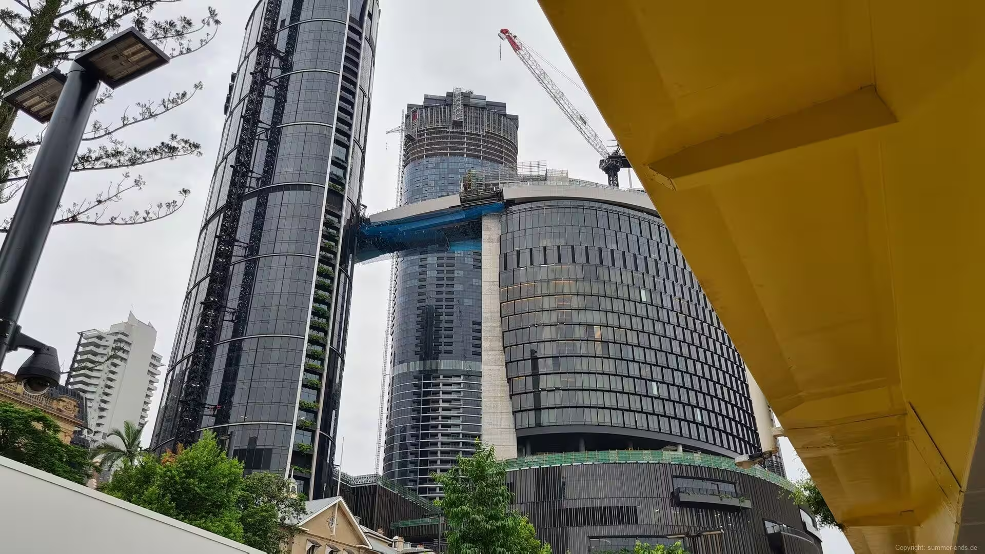
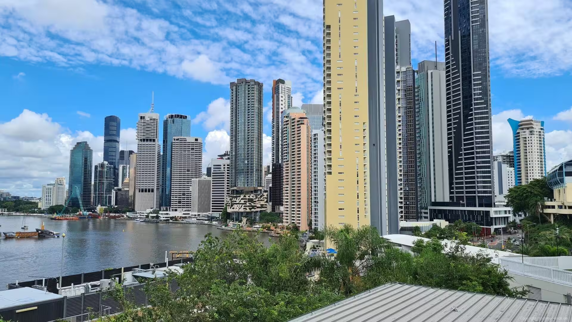
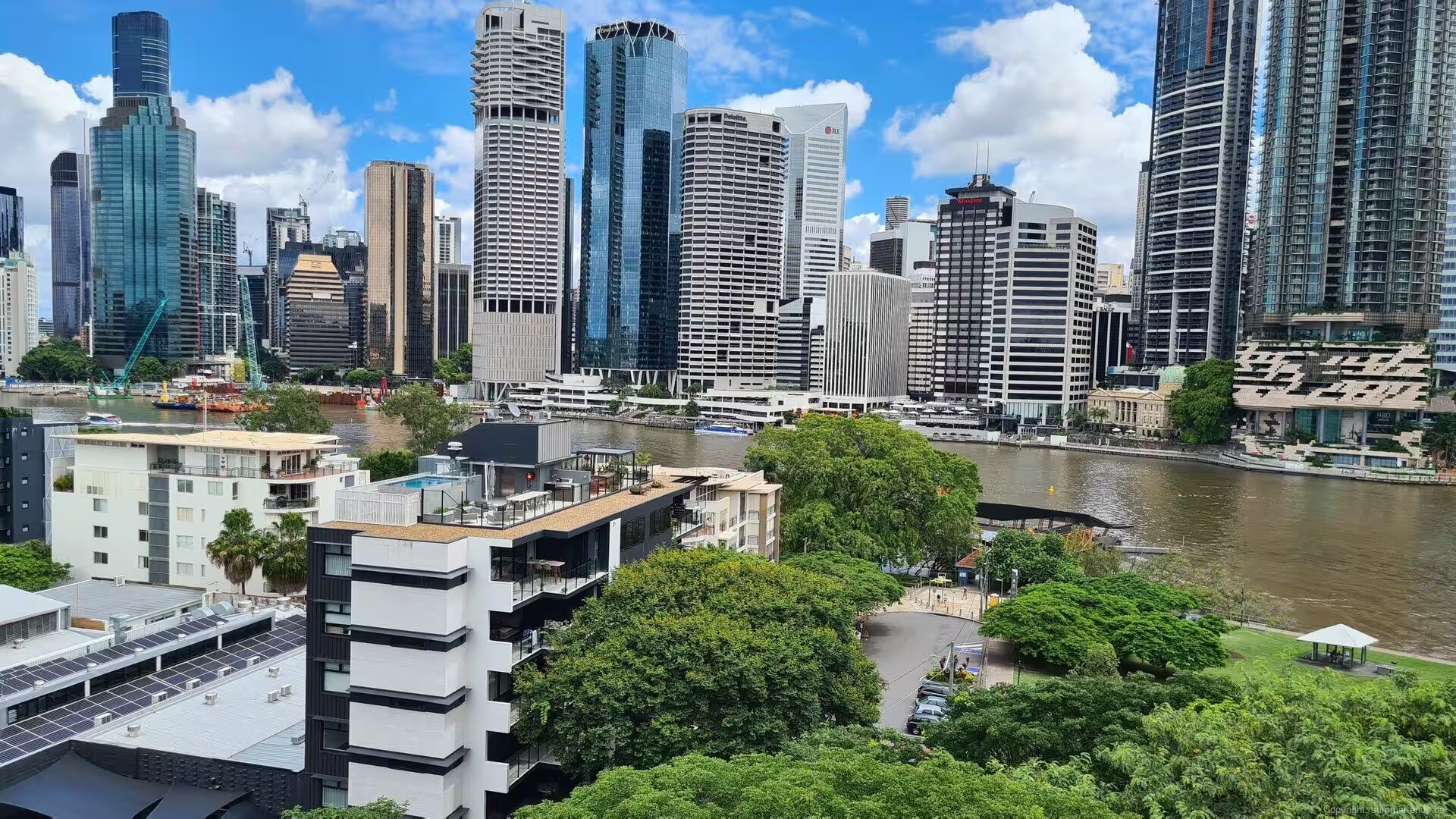
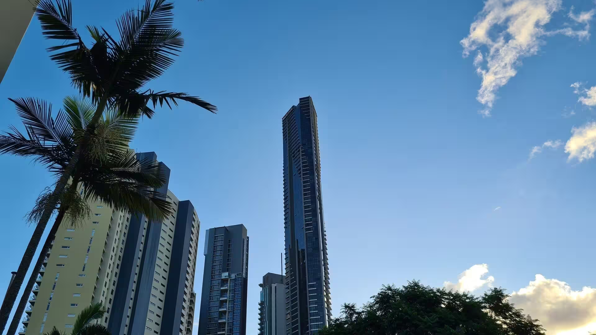
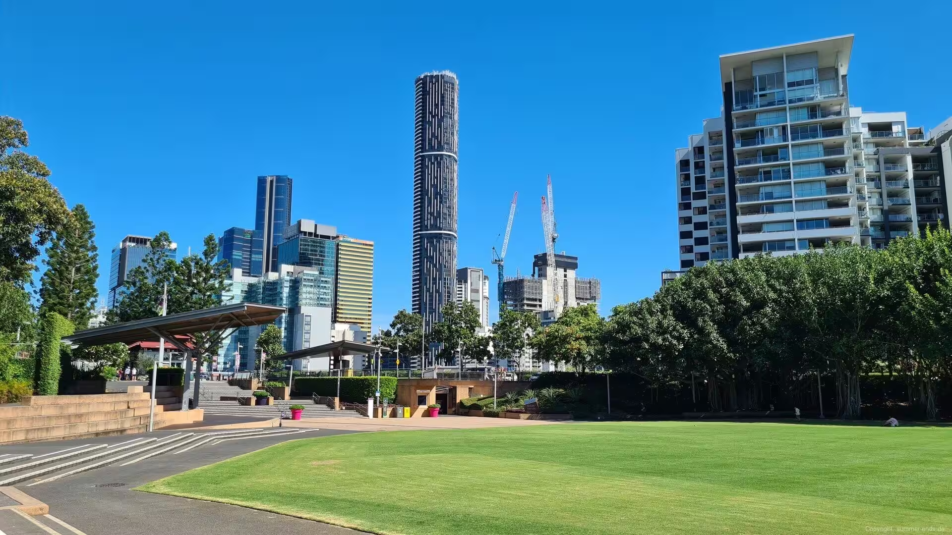
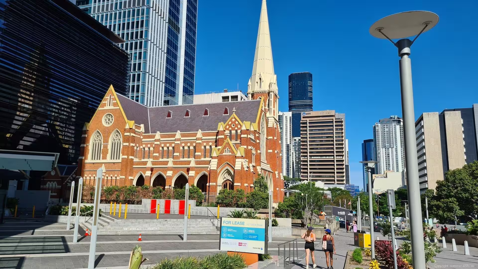
As the centre of South East Queensland, Brisbane has grown rapidly for decades, drawing migrants from other states and from overseas. The skyline of glass towers along the river is young, and the city renews itself continuously: new bridges, new riverfront precincts and new cultural quarters have appeared in the last years, while the older suburbs keep their timber and tin houses raised on stilts, their deep verandahs and their flowering gardens, so that the subtropical river city and the modern metropolis stand visibly side by side.
History
The Brisbane region has been inhabited for more than 22,000 years. The Yagara, Turrbal and Quandamooka peoples lived along the river, the bay and the coastal plains, and the Brisbane River formed the heart of their cultural, economic and ceremonial life, with major camps at Barambin, at Woolloon-cappem and at Musgrave Park. The central peninsula of the modern city was traditionally known as Meeanjin, and the harvests of Moreton Bay, with its fish, shellfish and waterfowl, supported one of the richest Aboriginal economies of the eastern coast.
European knowledge of the region grew slowly. James Cook charted the coast in 1770, Matthew Flinders surveyed parts of Moreton Bay in 1799, and in 1823 John Oxley, guided by two shipwrecked castaways, located the Brisbane River and recommended the site for a settlement. In September 1824 a penal outpost for secondary offenders from New South Wales was established at Redcliffe on the bay, and in May 1825 it was moved to the banks of the river at North Quay, on the ground the modern city occupies. The river had been named for Sir Thomas Brisbane, Governor of New South Wales from 1821 to 1825, and the town beside it took its name from the river.
Under Captain Patrick Logan the penal colony grew from about two hundred convicts to more than a thousand men and became a place of hard labour: convicts built roads, quarried stone and raised the earliest public buildings, among them the Old Windmill on Wickham Terrace of 1828, the oldest surviving building in Queensland, and the Kangaroo Point Cliffs were cut back by convict quarrying of the volcanic rock. In 1842 the district was opened to free settlers and immigration began; among the first land sales, in December 1843, were the allotments of Kangaroo Point across the river. When Queensland separated from New South Wales in 1859, Brisbane became the capital of the new colony and grew rapidly as a port and commercial centre, its wooden wharves lining the river below the town.
The young city was proclaimed under the Local Authorities Act of 1902, one of the first three towns in Queensland to receive city status, and in 1925 the City of Brisbane was formed by amalgamating the councils of the metropolitan area into Australia’s largest municipal authority. The depression years brought the great civic projects: Brisbane City Hall, begun in 1920 and opened in 1930, and the Story Bridge, built as a public works program and opened in 1940. During the Second World War Brisbane served as headquarters of the Allied South West Pacific Area command and became a major staging point for Australian and American forces, a role that transformed the city and its port.
The post-war decades brought steady growth and, in January 1974, the most damaging flood in the city’s recorded history, when the river reached 5.45 metres and the 66,000-tonne vessel Robert Miller broke from its moorings. The Wivenhoe Dam on the upper river, built in the years after the disaster, was designed to hold back the worst of future floods while securing the water supply. Brisbane hosted the Commonwealth Games in 1982 and World Expo 88 in 1988, whose 40-hectare South Bank site became public parklands in 1992, and the city has since renewed its riverfront continuously. Further major floods came in January 2011 and February 2022, and the recovery from each has sharpened the city’s long argument with its river. In 2021 Brisbane was chosen to host the Olympic and Paralympic Games of 2032.
Geology
The geological foundation of Brisbane is older than its hills suggest. The city stands on the Brisbane tuff, a volcanic rock laid down in the Triassic period about 230 million years ago, when explosive eruptions spread ash and pyroclastic flows that filled an ancient river valley and welded into hard, banded stone. The tuff, once wrongly called porphyry, is exposed along the river at the Kangaroo Point Cliffs opposite the city, where the convicts of the 1820s and 1830s quarried it for the stonework of the early settlement; similar rock underlies much of the inner city and appears in the walls of its older buildings.
The landforms of the city itself are young. Brisbane occupies the floodplain of the Brisbane River, which gathers its waters from a catchment reaching to the Bunya Mountains and runs 344 kilometres from Mount Stanley to Moreton Bay. Below the city the river is a tidal estuary, its water brackish as far upstream as the Mount Crosby Weir, and its notorious brown colour comes from the fine clay and silt held in suspension. The river meanders across the plain in a long, winding course, and because the bends slow the escape of floodwater to the bay, high flows rise quickly and spread widely over the low ground, a pattern repeated in the great floods of 1893, 1974, 2011 and 2022.
Moreton Bay, which gives the city its eastern shore, is a drowned river valley: it formed only about 6,000 years ago, when the sea level rose after the last ice age and inundated the floodplains of the Brisbane River and its neighbours. The bay is large and shallow, covering some 1,523 square kilometres with an average depth of about seven metres, and it is sheltered from the open Pacific by the huge sand islands of Moreton and North Stradbroke, whose dunes and heaths rise from the shallow water. Along the western shore, where the rivers enter, the water is muddy and rich, feeding mangroves, seagrass beds and sandbanks that make the bay a great nursery of the Australian coast.
West of the floodplain the ground rises toward the ranges that frame the city. The Taylor Range, whose eastern end is crowned by Mount Coot-tha, rises behind the western suburbs, and the D’Aguilar Range forms the forested skyline of the metropolitan area. North of the city the coastal plain is broken by the Glass House Mountains, a cluster of thirteen volcanic plugs, the eroded cores of volcanoes active in the Tertiary period, which rise abruptly from the flat farmland; the highest of them, Mount Beerwah, reaches 556 metres. These old volcanic hills, the quarried tuff of the inner city and the young alluvial plain of the river together tell the story of a landscape built from deep geological time upward through flood and tide to the modern metropolis.
Things to See
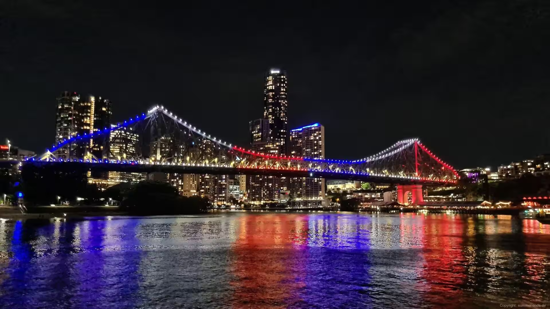
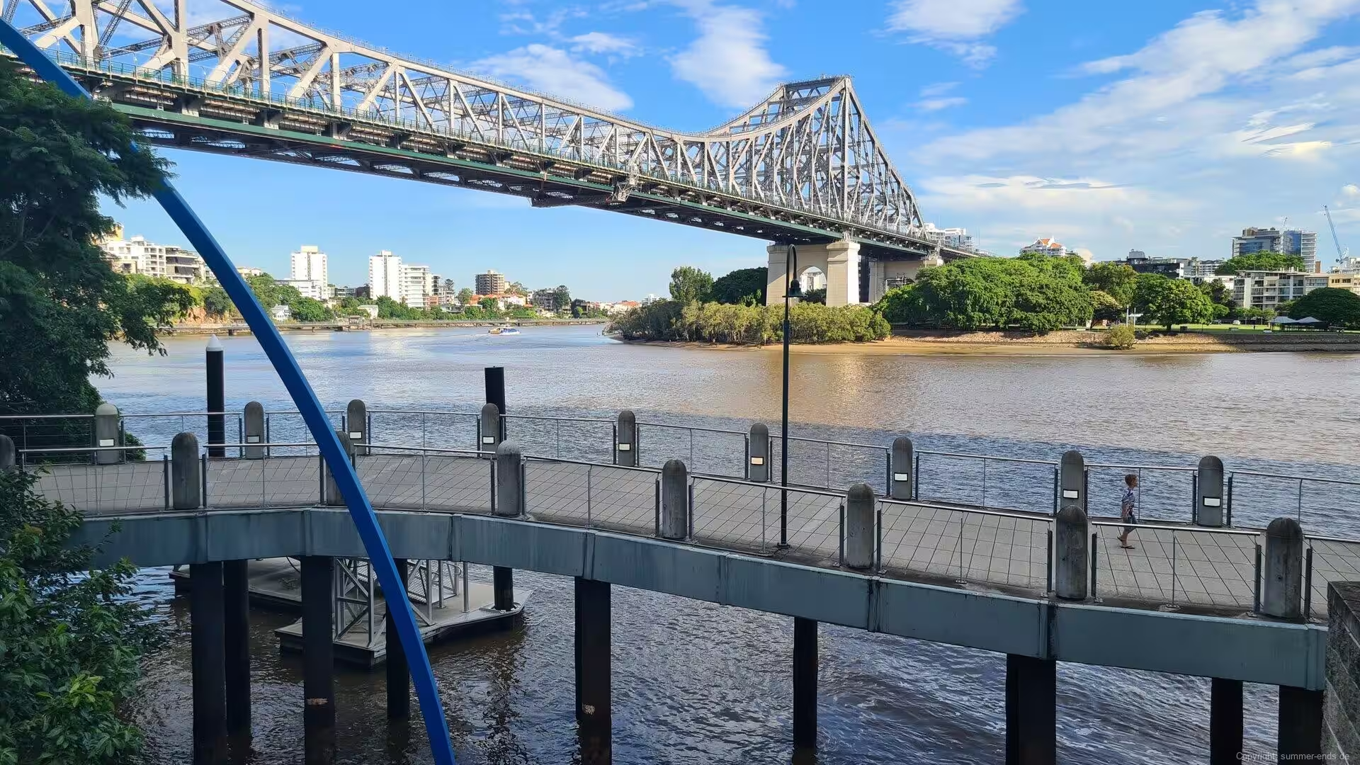
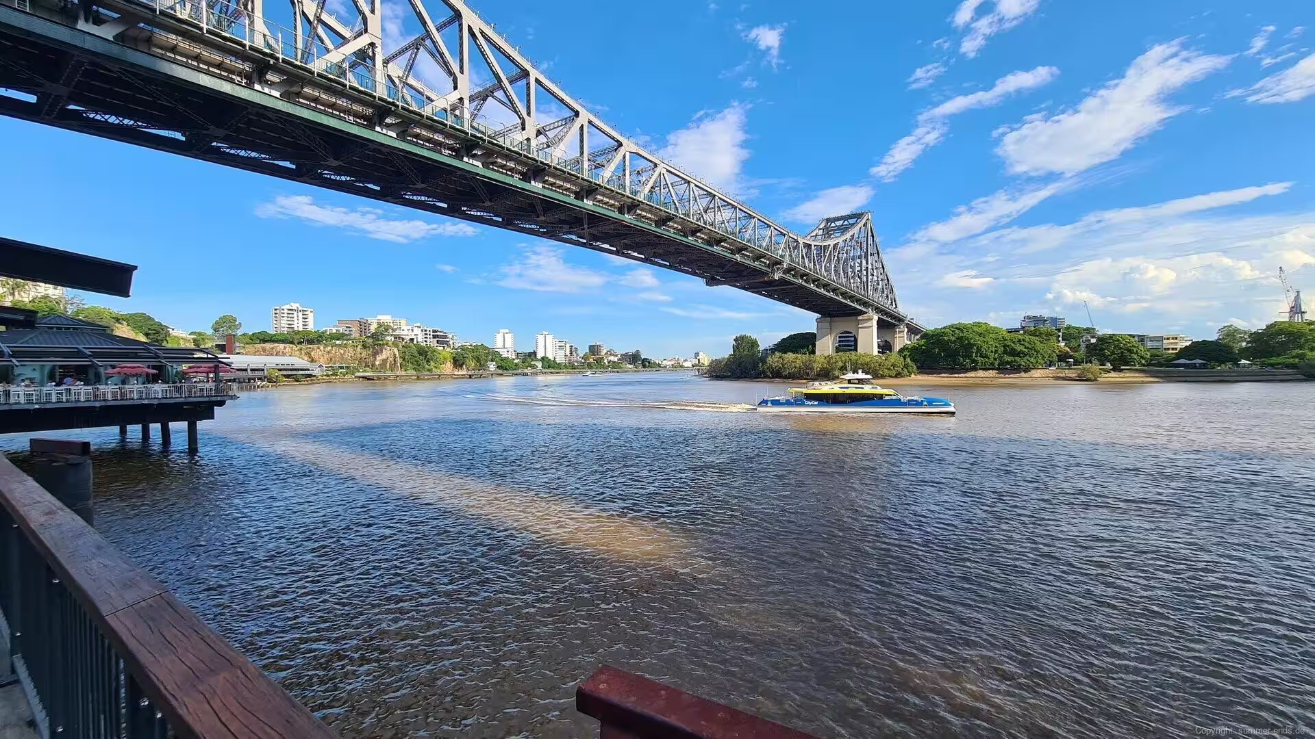
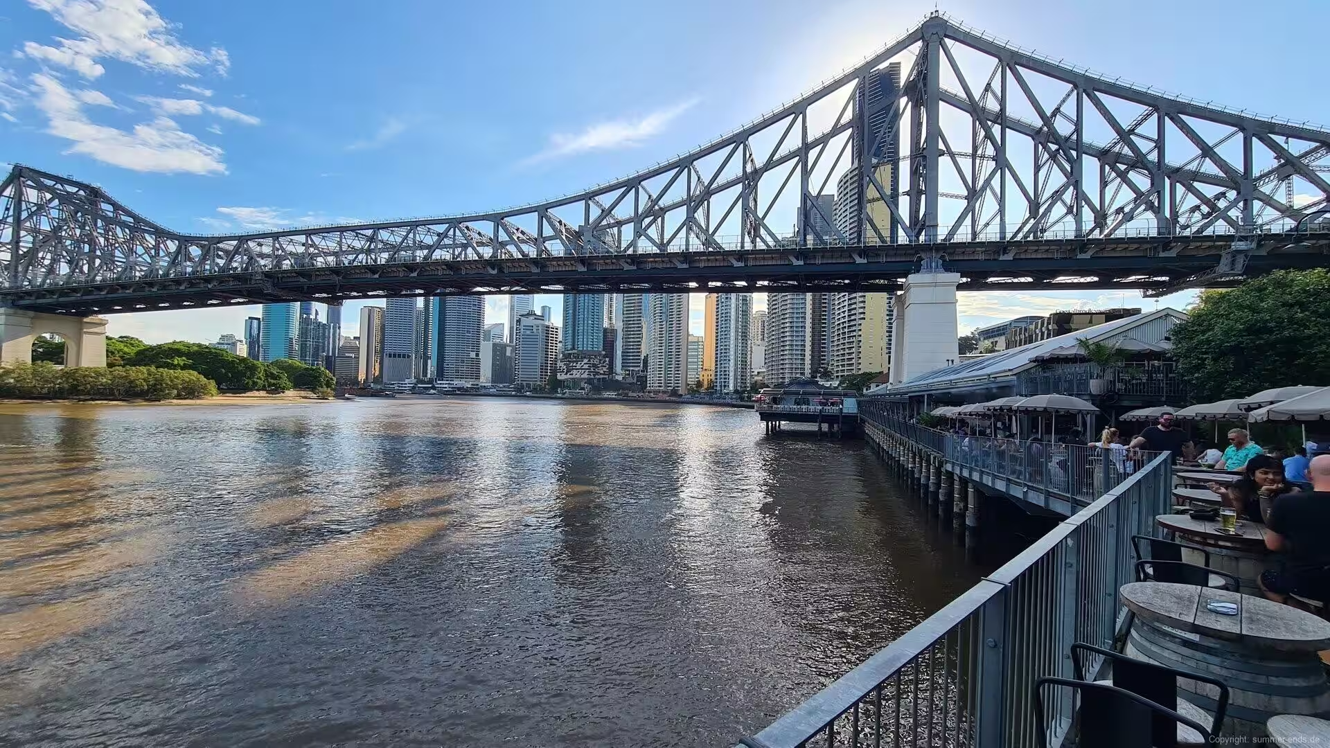
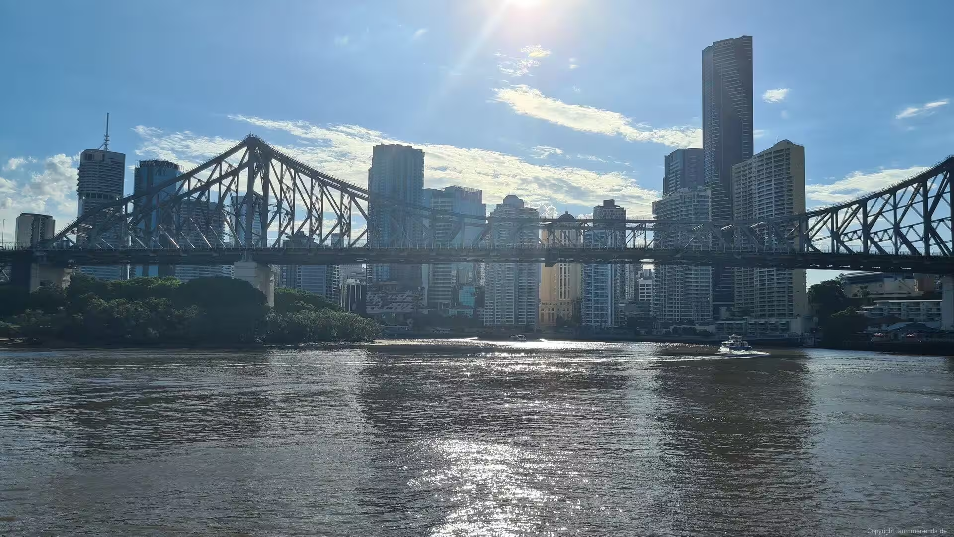
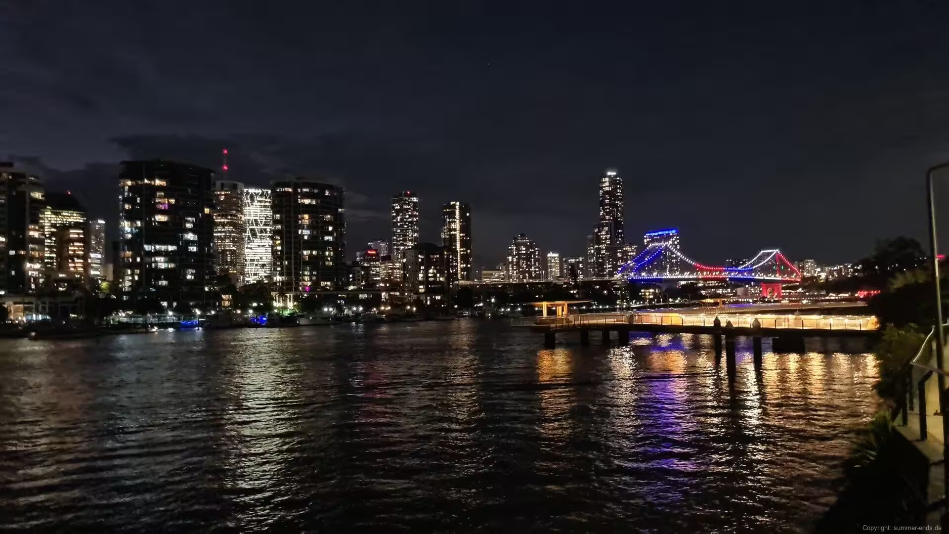
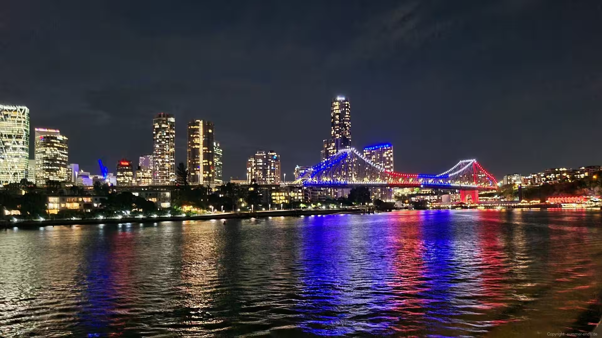
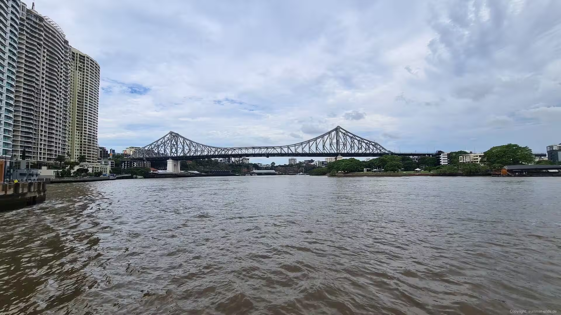
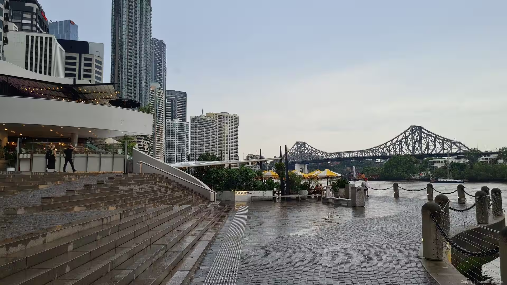
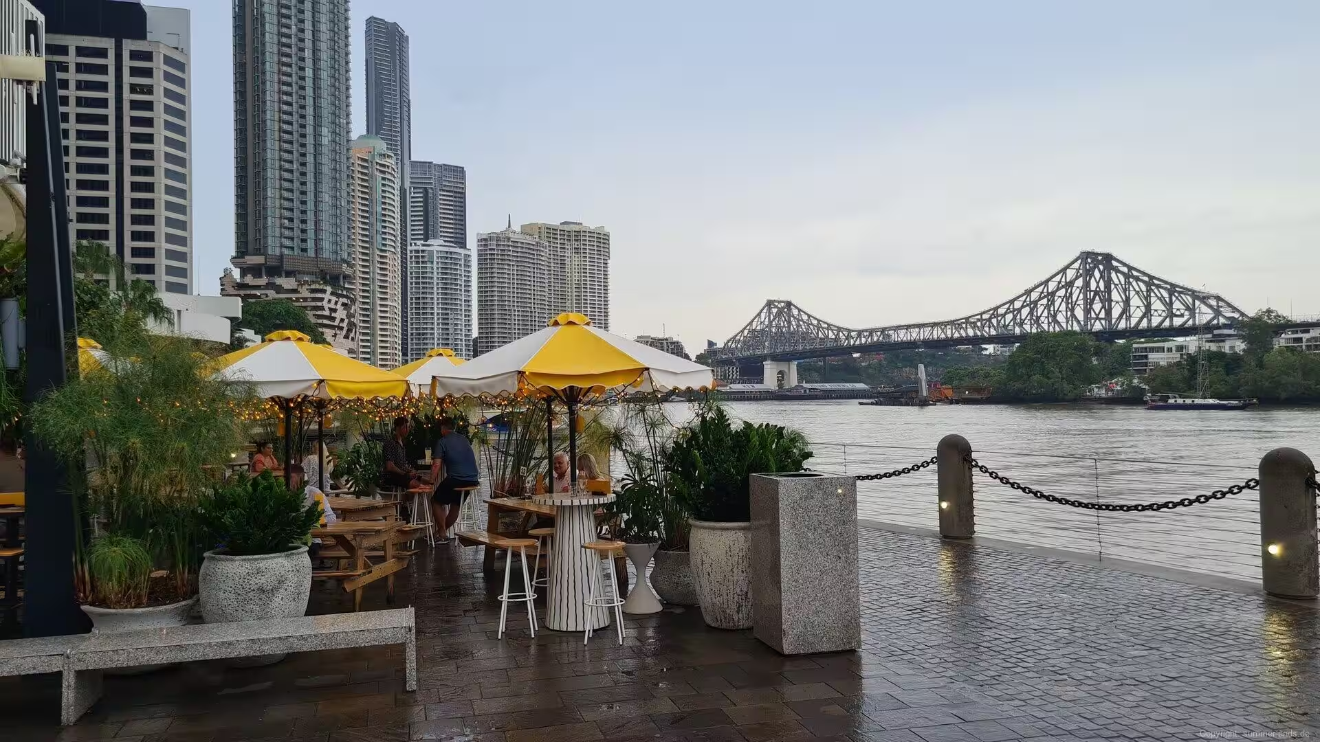
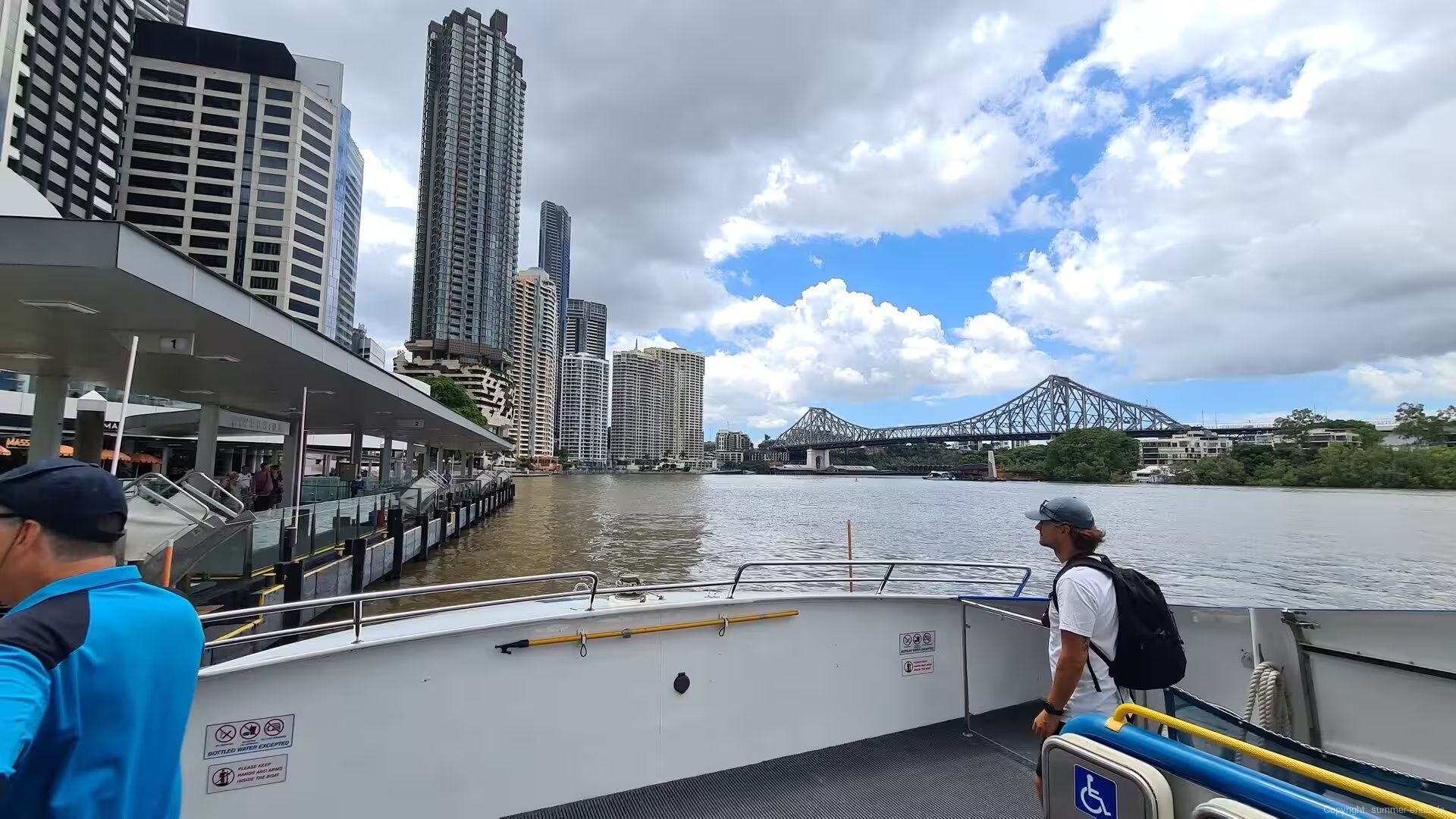
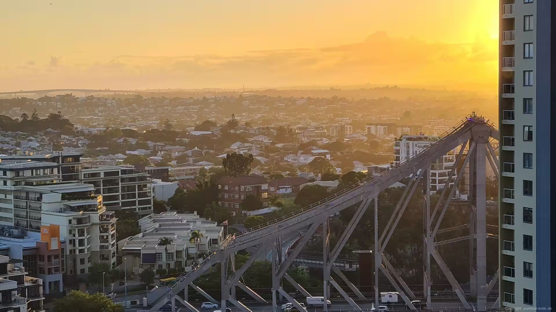
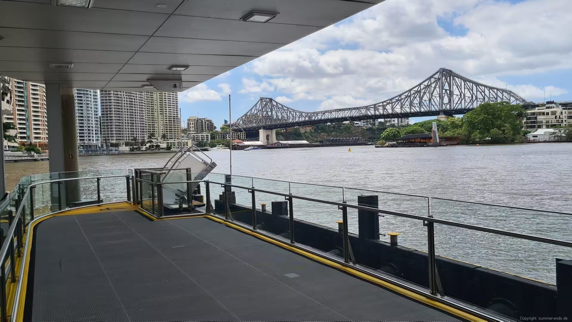
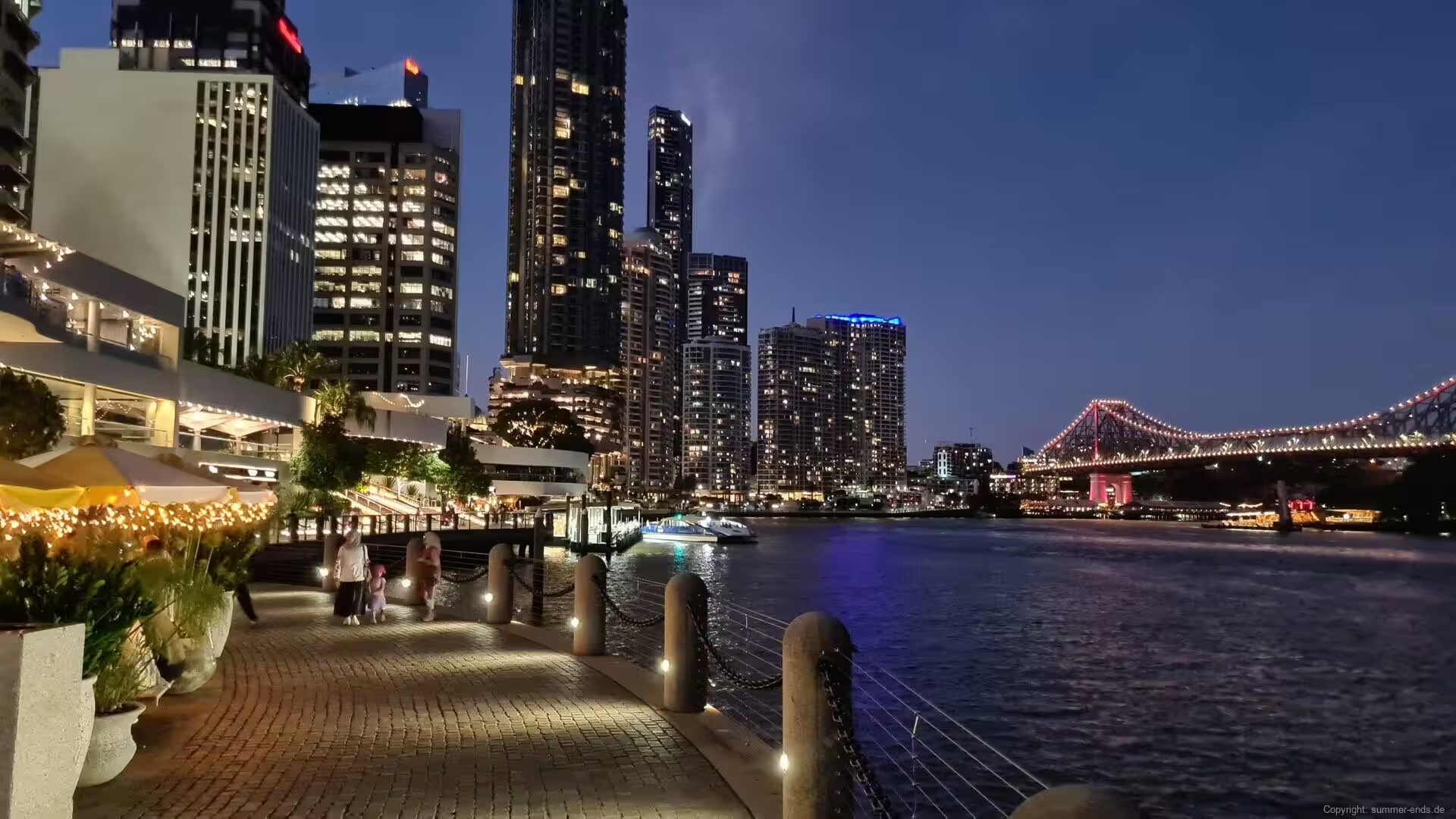
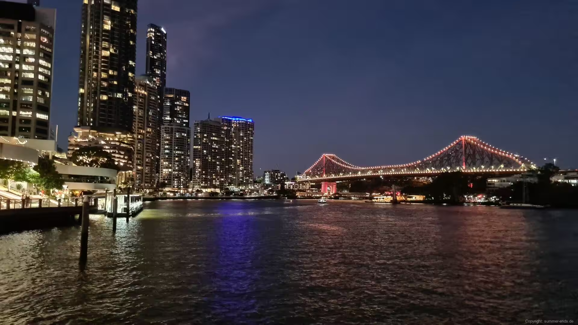
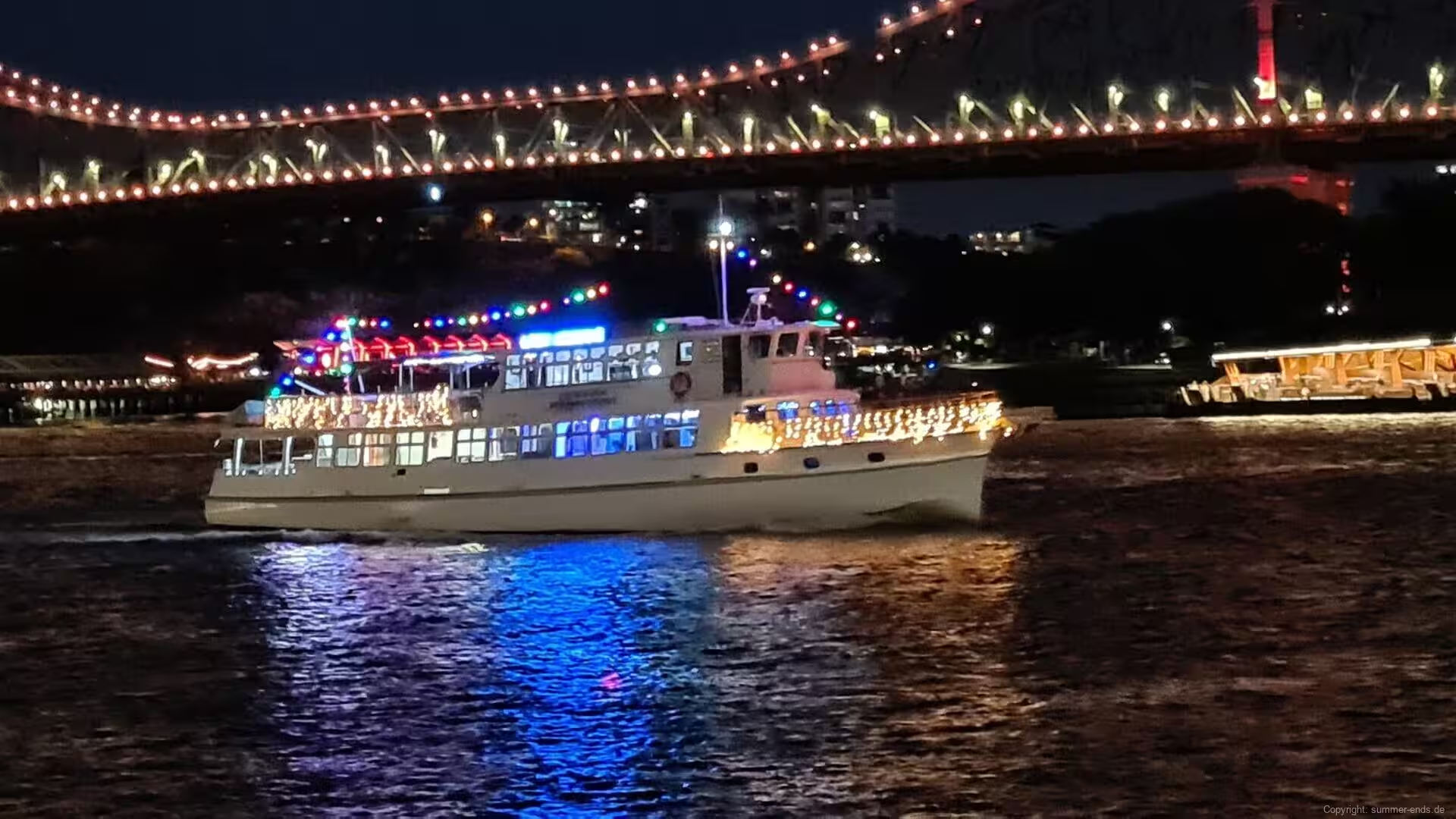
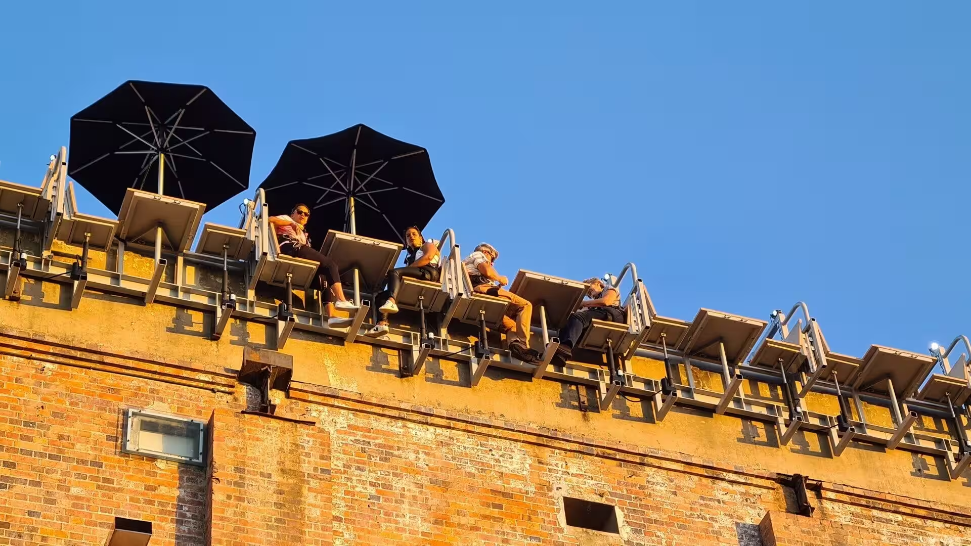
The landmark of the river is the Story Bridge, a steel cantilever of 777 metres whose main span of 282 metres clears the water by some 30 metres. Designed by John Bradfield, the engineer of the Sydney Harbour Bridge, it was built between 1935 and 1940 as a public works project of the depression years, opened in July 1940 and named for the public servant John Douglas Story who had campaigned for it; it is the longest cantilever bridge in Australia. The great trusses are washed in coloured light at night, and a guided climb of the upper span, offered since 2005, opens views over the whole river city.
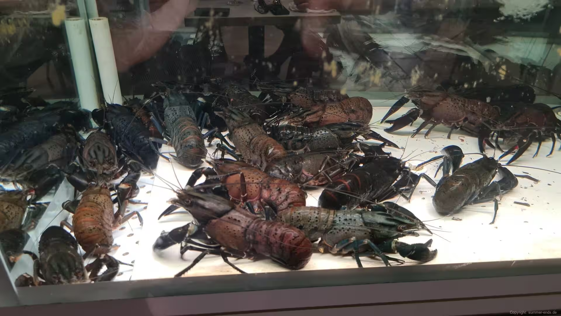
Beneath the city end of the bridge, Howard Smith Wharves fills the interwar wharves leased by that shipping company from the mid-1930s and reopened in late 2018 as a riverside quarter of restaurants beneath the sawtooth roofs of the old sheds. The riverfront walk continues past the Customs House of 1889, whose copper dome closes the view along Eagle Street; closed in 1988 and restored by the University of Queensland, it stands floodlit above the evening promenade, where the city’s riverside restaurants show their tanks of live Queensland rock lobster.
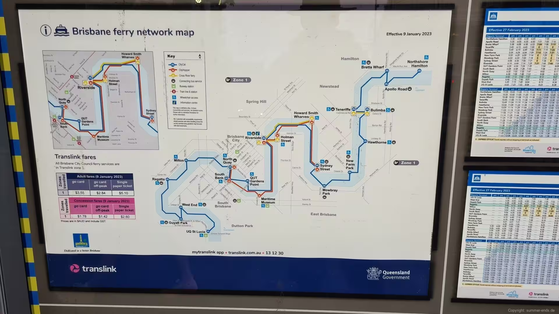
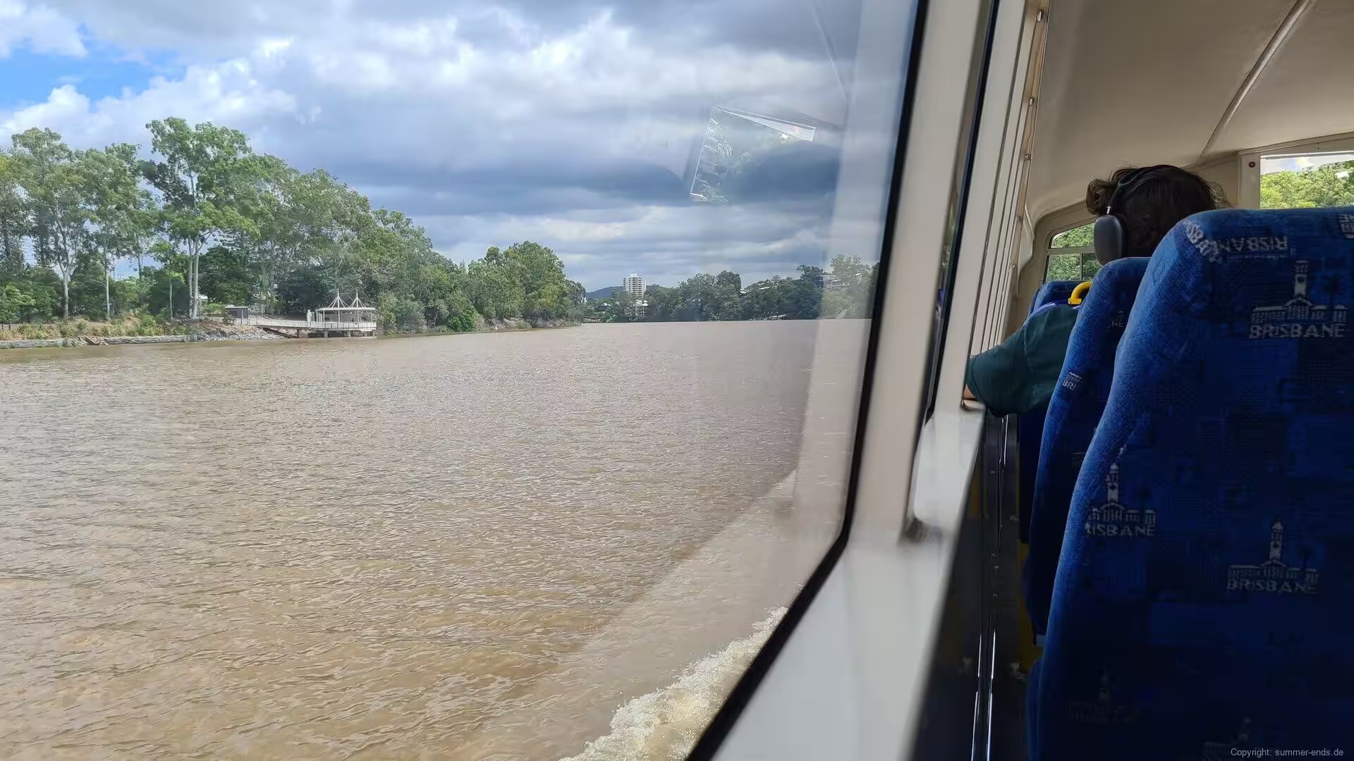
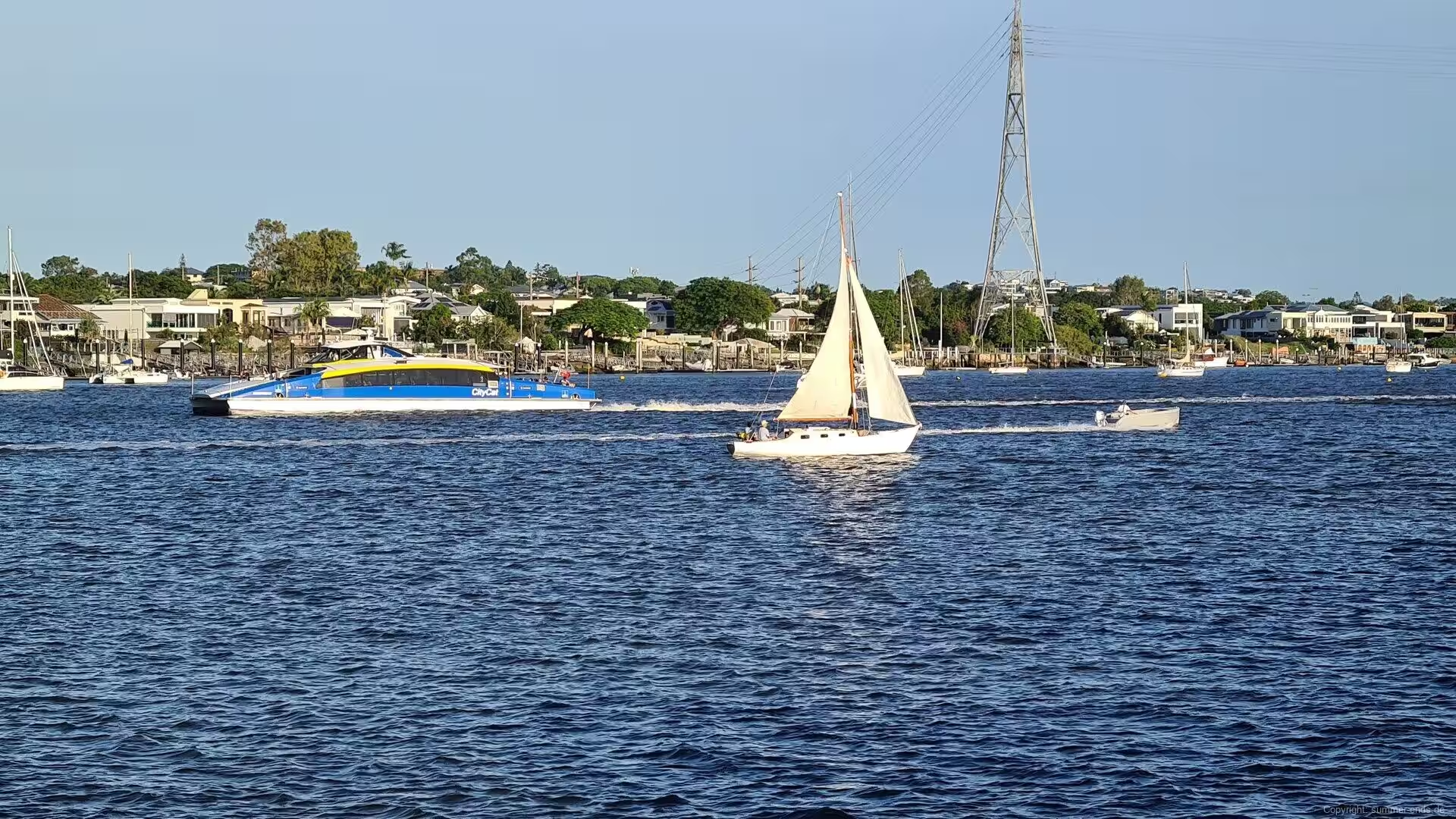
The river itself is best seen from the water. The blue and yellow CityCat catamarans, named after Aboriginal words of the region, have served Brisbane since November 1996, when the service began with six fast vessels; more than twenty now work the wharves of the metropolitan reach, and the small KittyCat ferries cross the river at its narrowest points. A CityCat ride from the towers of the centre toward the bayside suburbs passes bridges, cliffs and riverside parks, and in the late afternoon the light on the water is at its best.
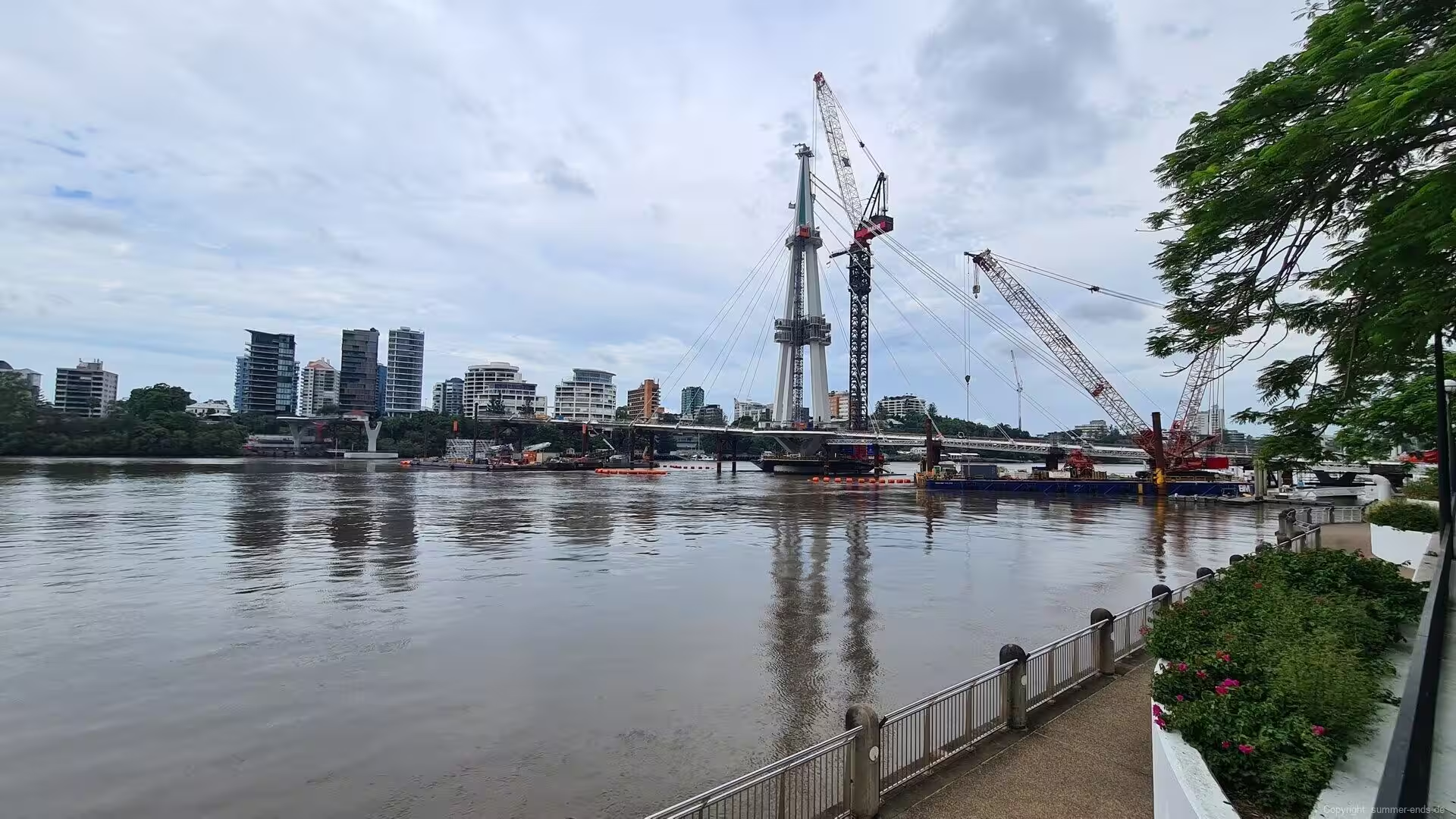
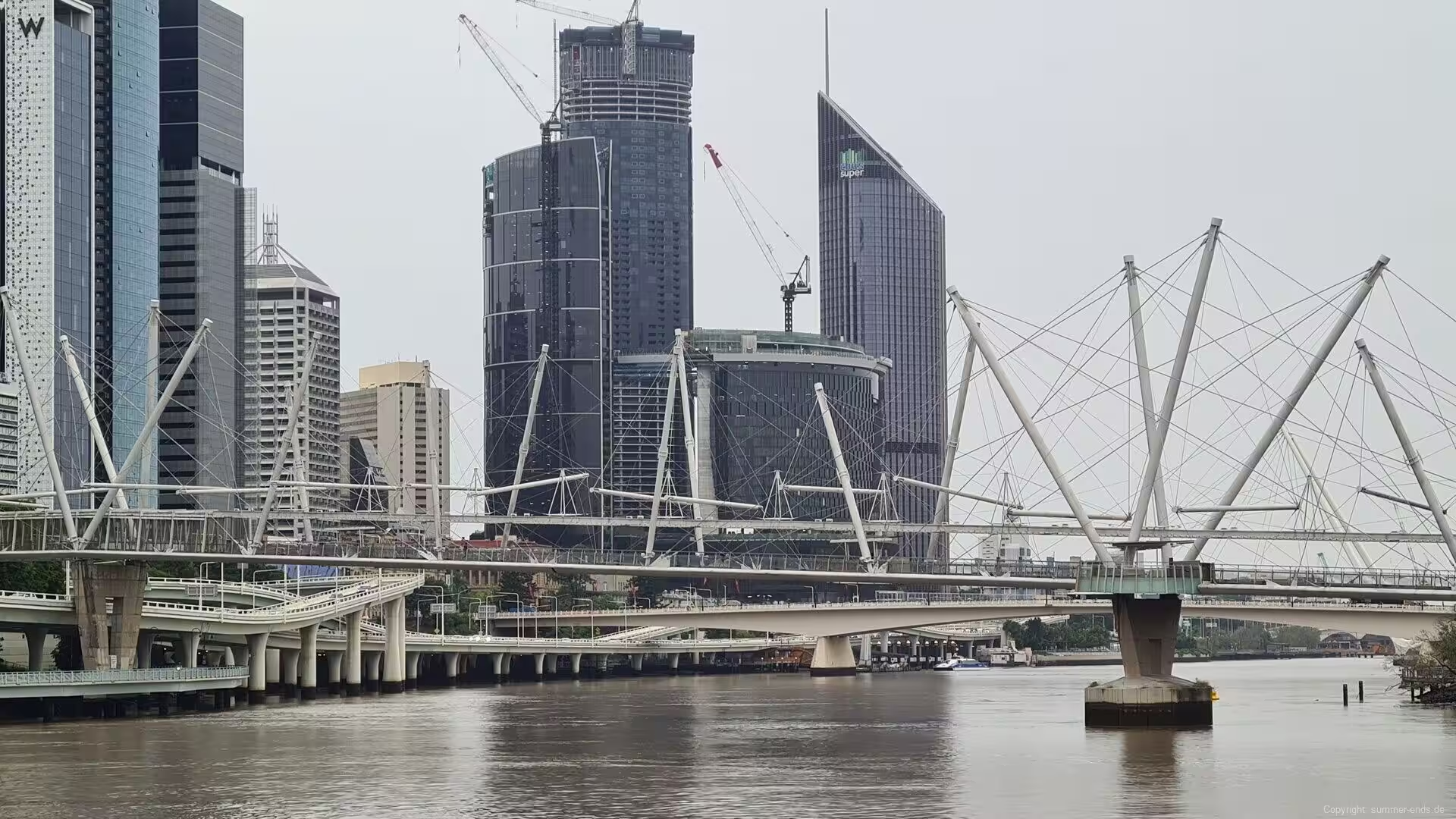
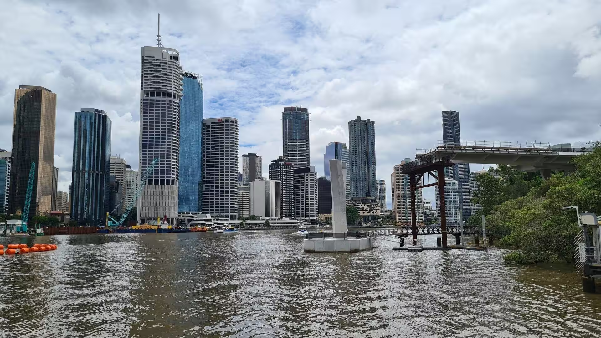
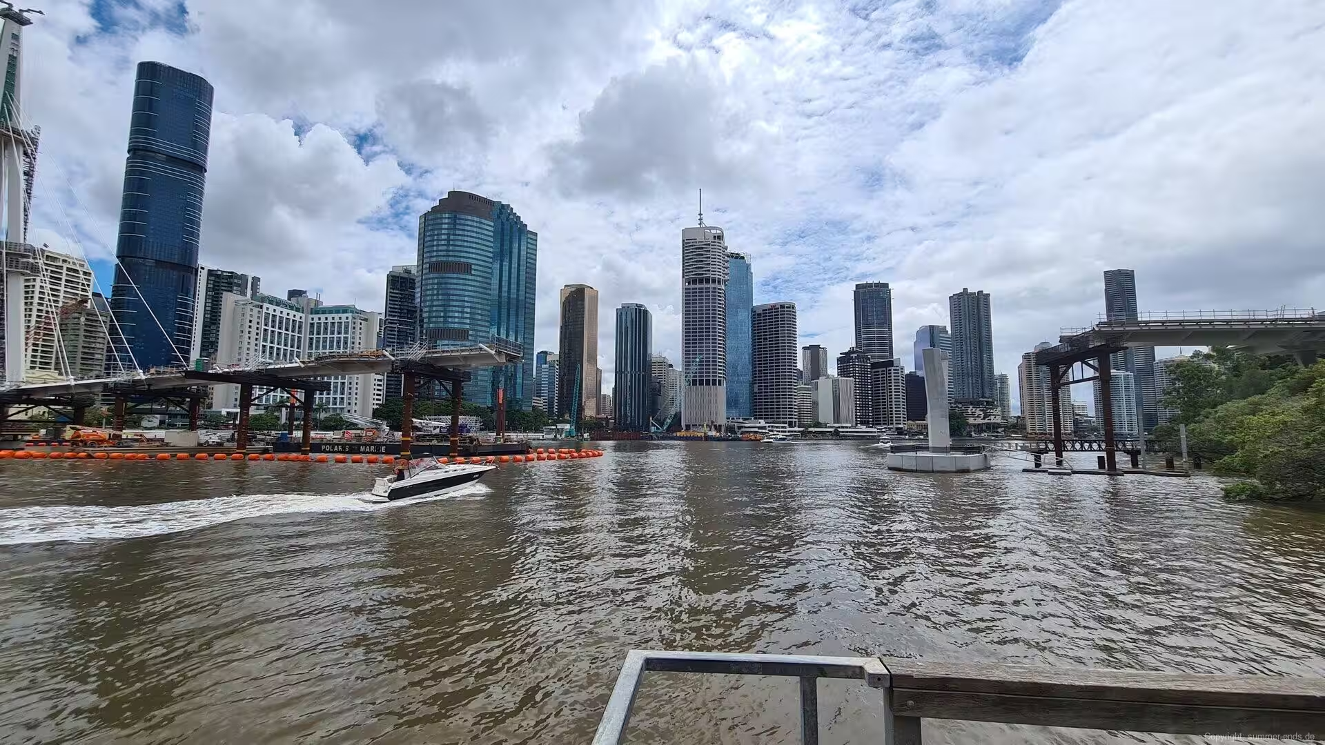
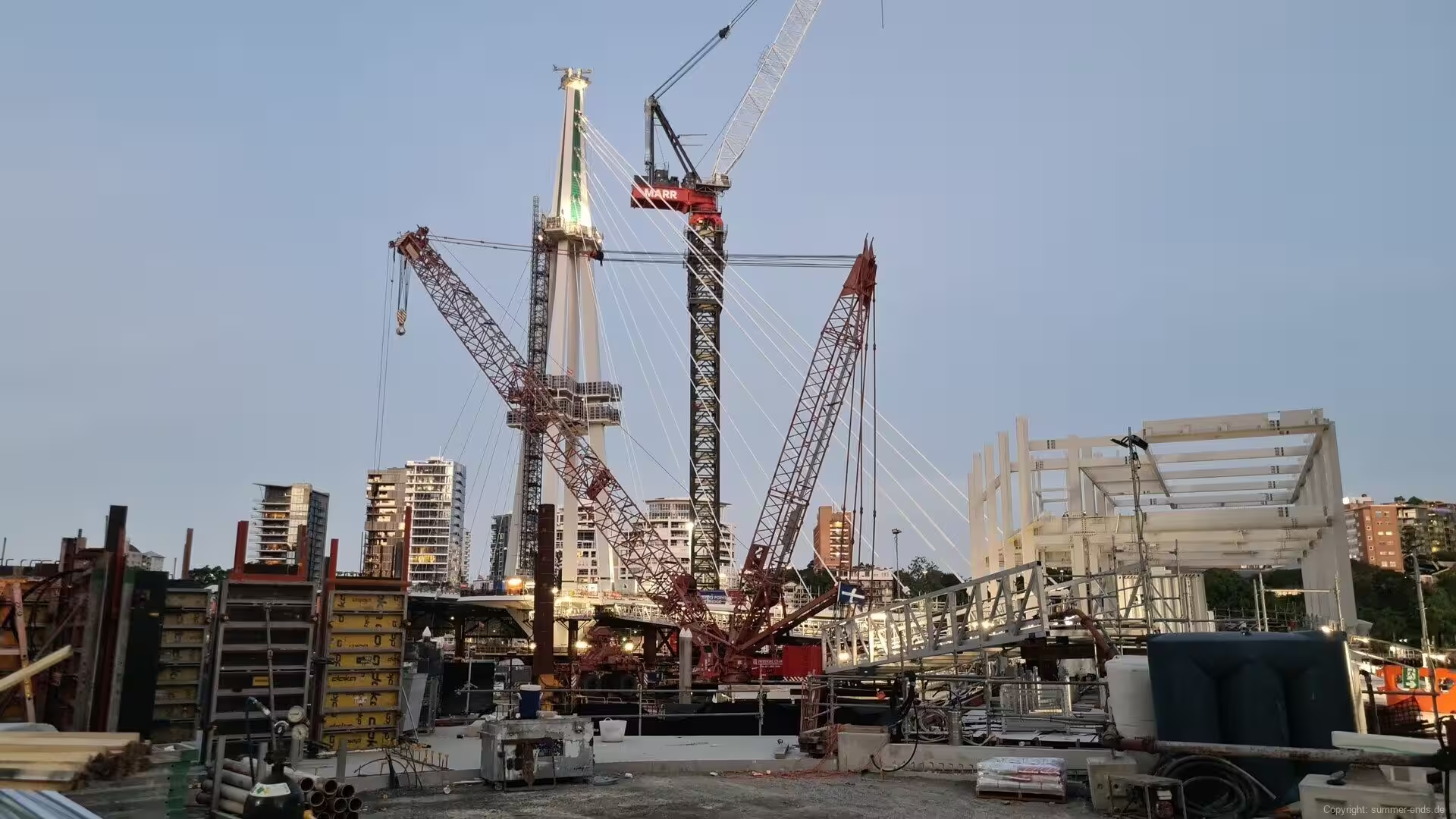
Across the river, the Kangaroo Point Cliffs rise sheer from the water: a wall of quarried Brisbane tuff, at once a piece of convict history, a training ground for climbers and one of the finest viewpoints of the city, with parks and boardwalks below. Since December 2024 the Kangaroo Point Green Bridge, a cable-stayed crossing of 460 metres with a single mast, has carried pedestrians and cyclists between the suburb and the centre.
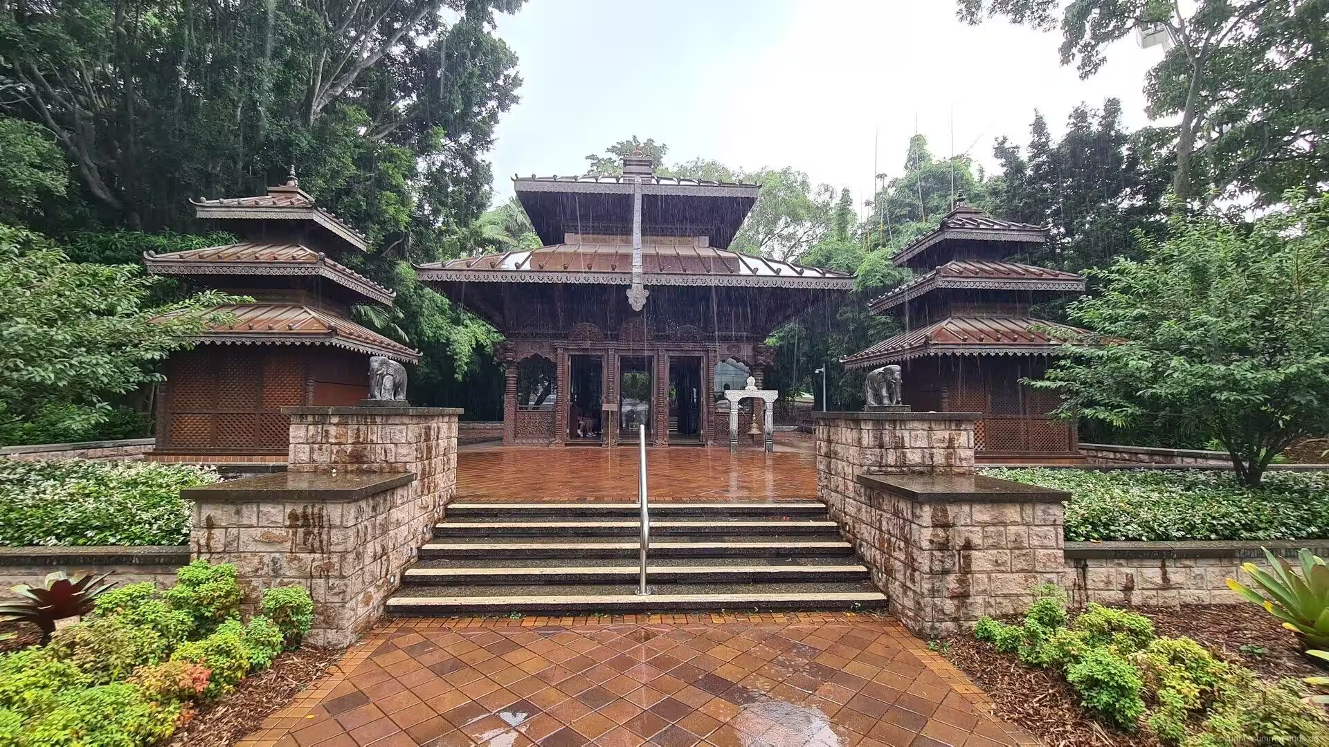
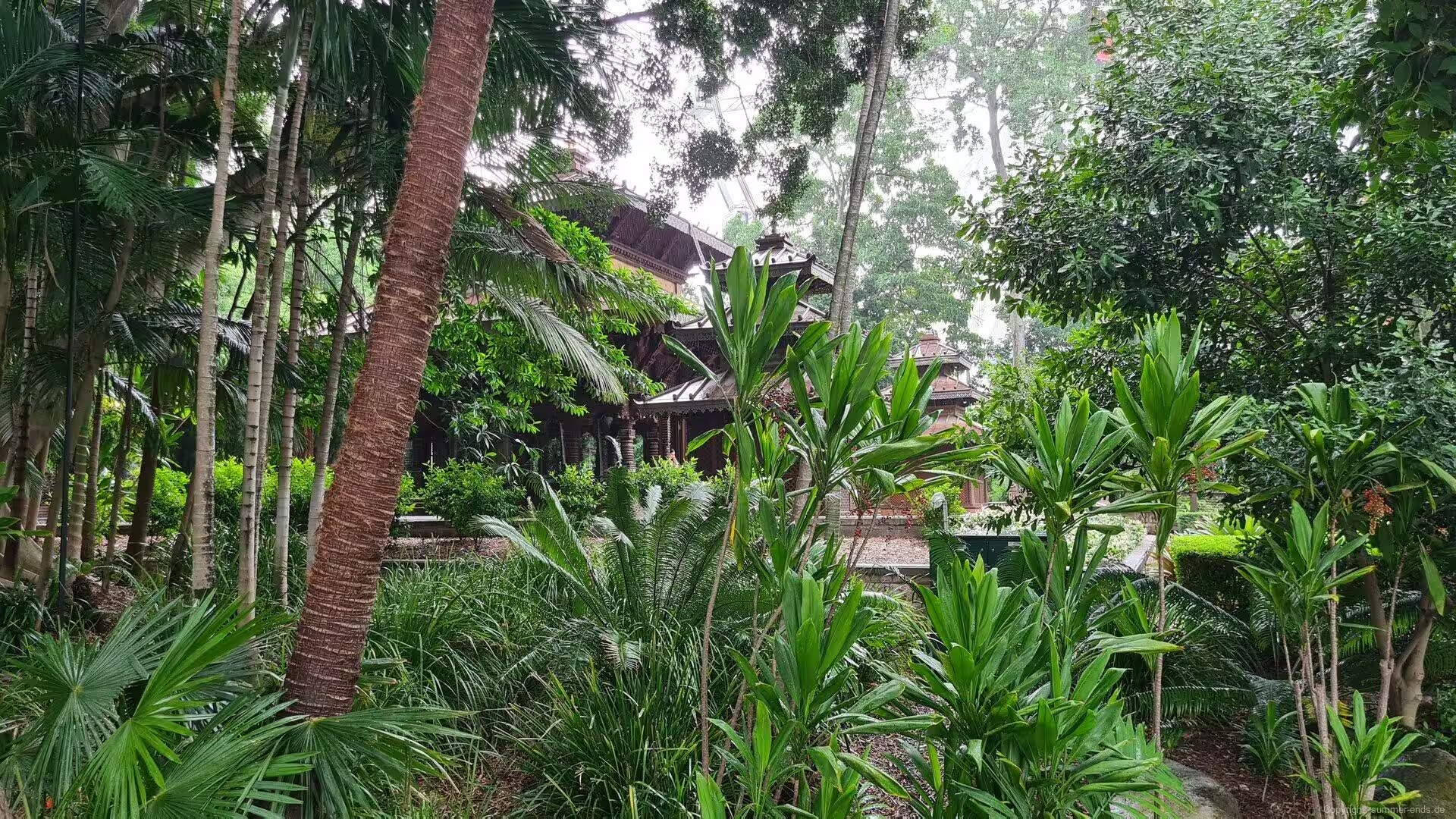
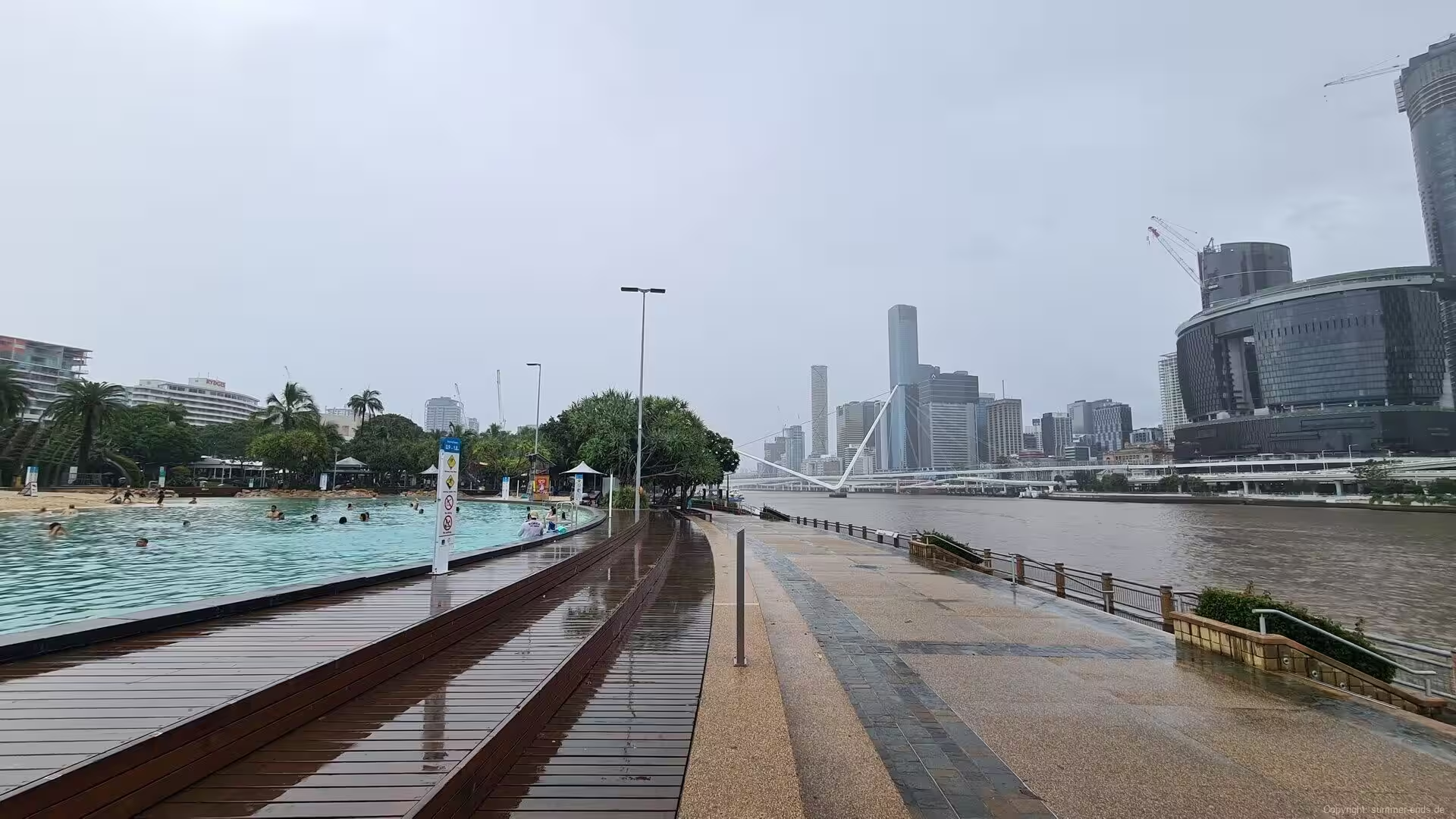
On the southern bank, the South Bank Parklands spread over the site of World Expo 88, whose 40-hectare riverside ground drew more than 18 million visitors in 1988 and became public parklands in June 1992 after a public campaign. The centrepiece is Streets Beach, a man-made lagoon ringed with sand from the Rous Channel of Moreton Bay, where swimmers face the city skyline; beside it stand the Wheel of Brisbane of 2008 and the Nepalese Peace Pagoda, the three-tiered timber temple crafted in Nepal and assembled here for the exposition, the only international pavilion of Expo 88 still standing.
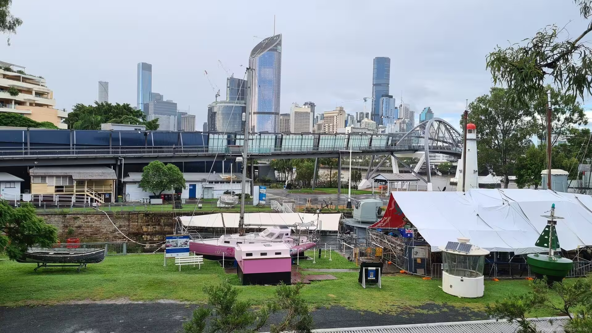
Close by, the Queensland Maritime Museum, founded in 1971, fills the South Brisbane Dry Dock of the 1870s. In the dock lies HMAS Diamantina, a River-class frigate launched in 1944 that served in the Pacific War and later as a survey ship until 1980 and is one of only two preserved ships of her class in the world; the grounds hold the steam tug Forceful of 1925, the last working coal-fired tug of Queensland, the lightship Carpentaria, the lighthouse of the river mouth that served from 1912 to 1983, and the motor yacht of General Douglas MacArthur, whose wartime headquarters stood in the city.
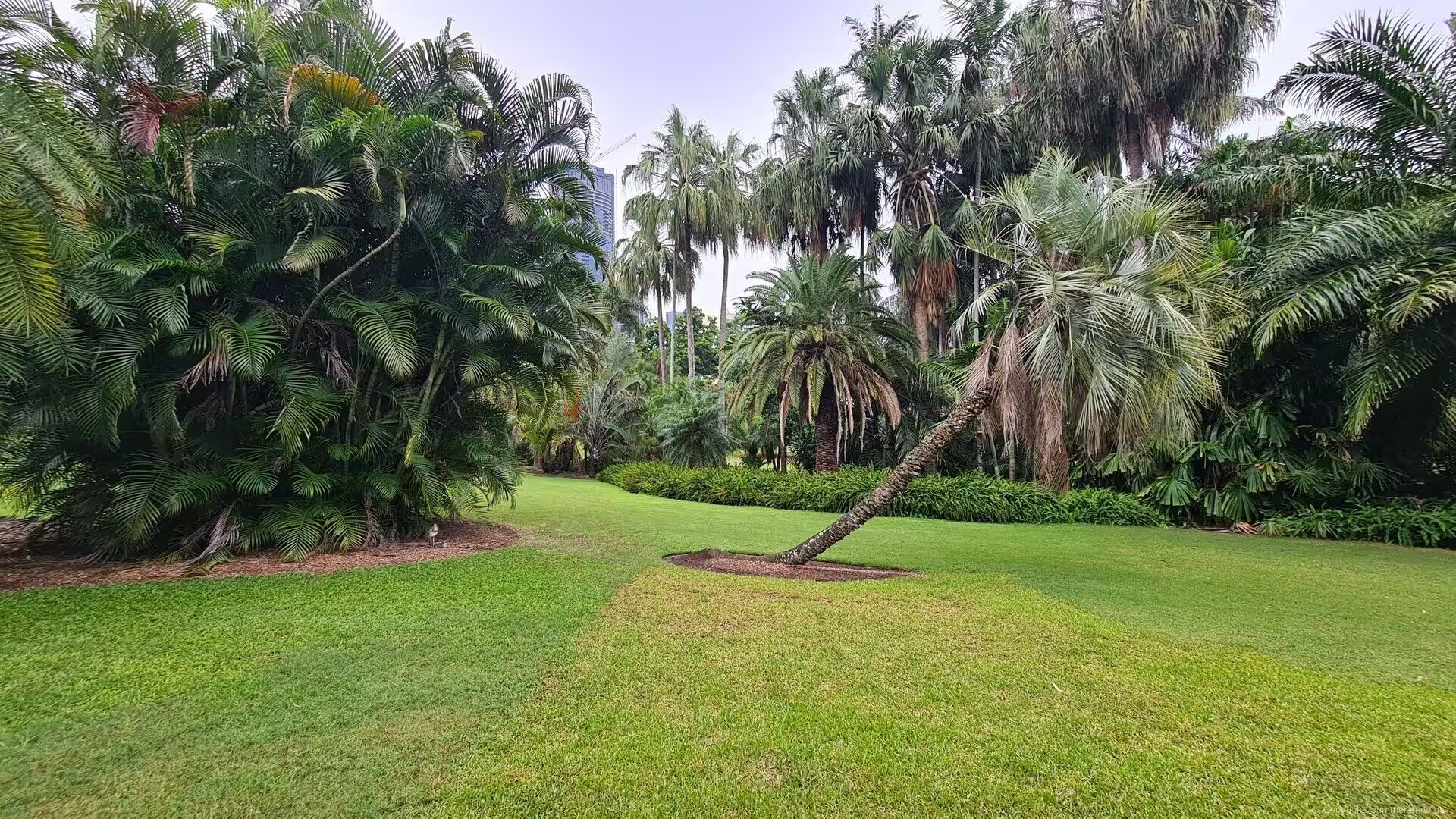
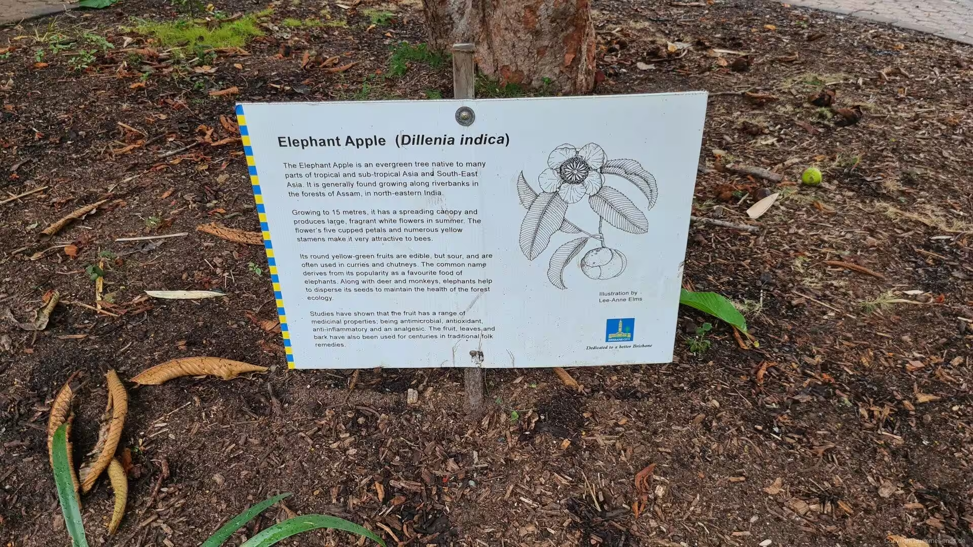
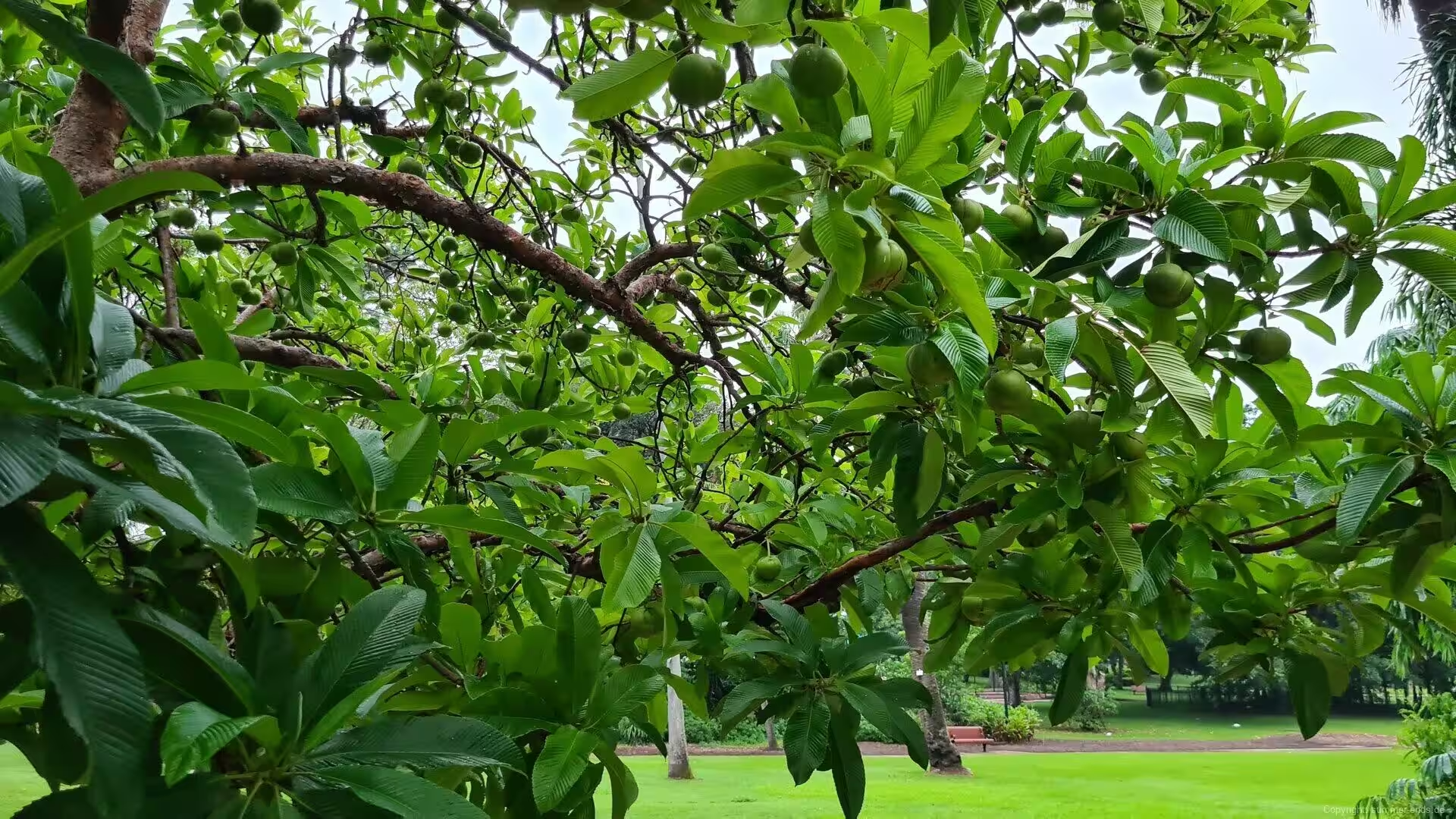
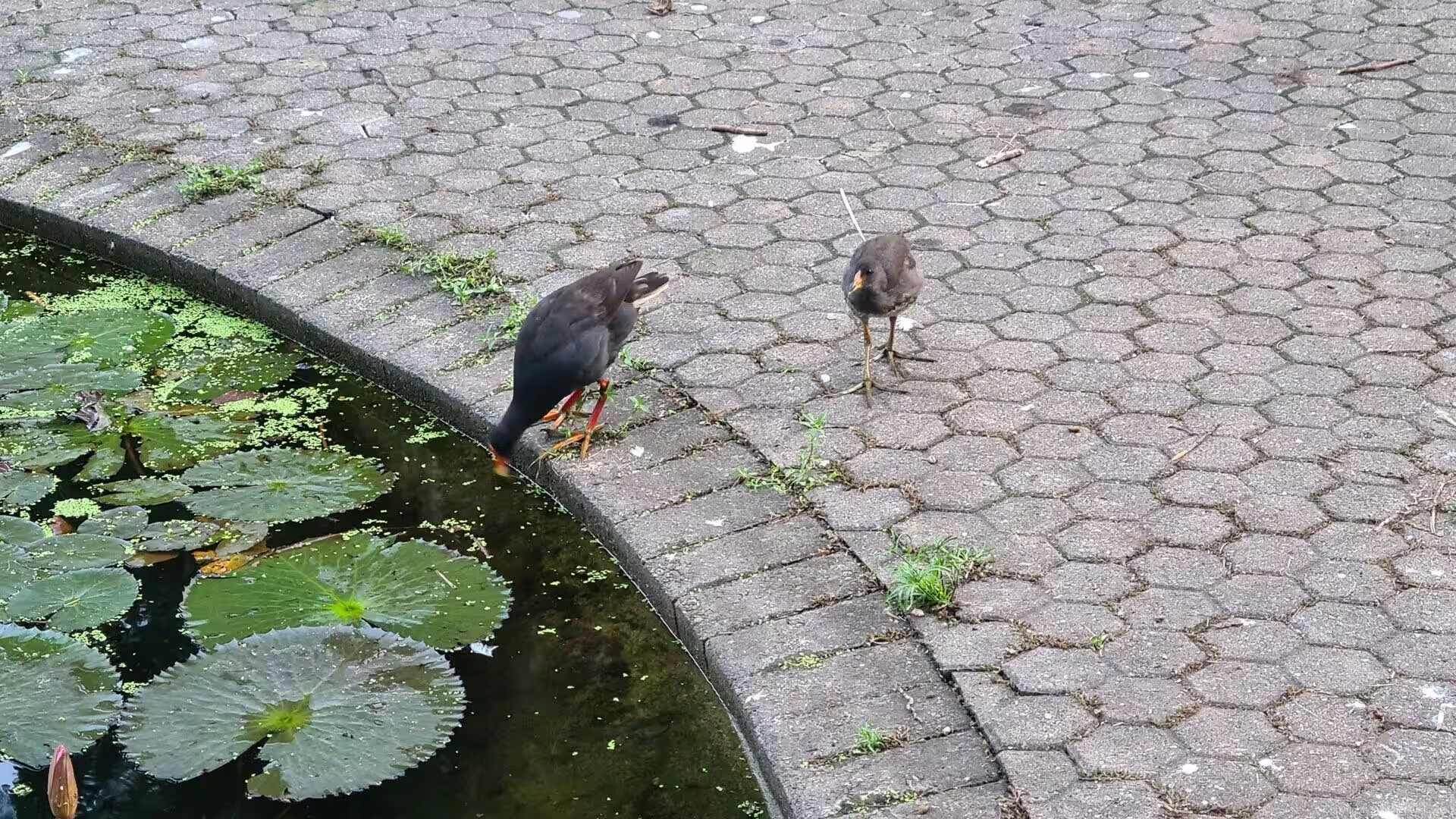
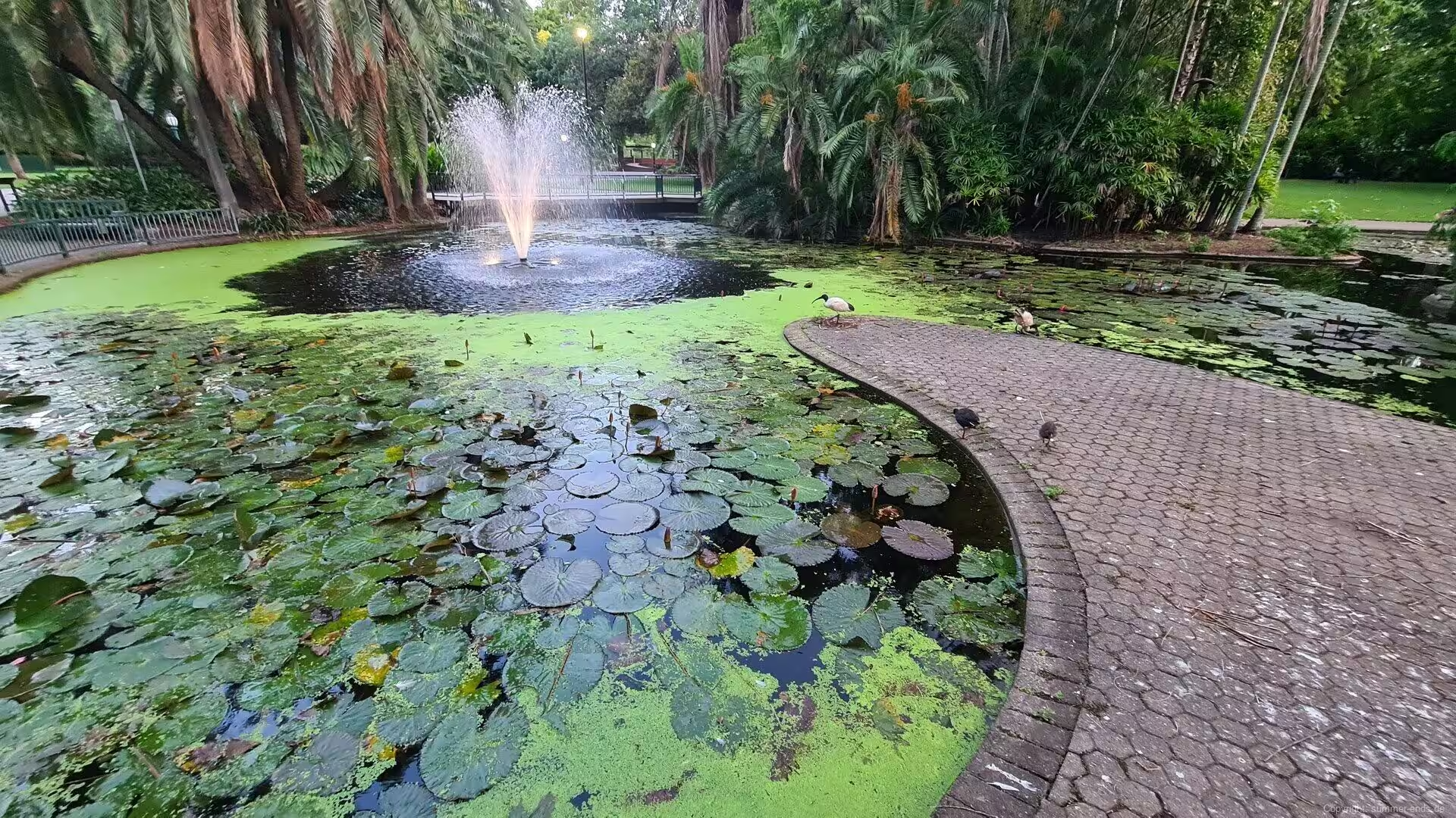
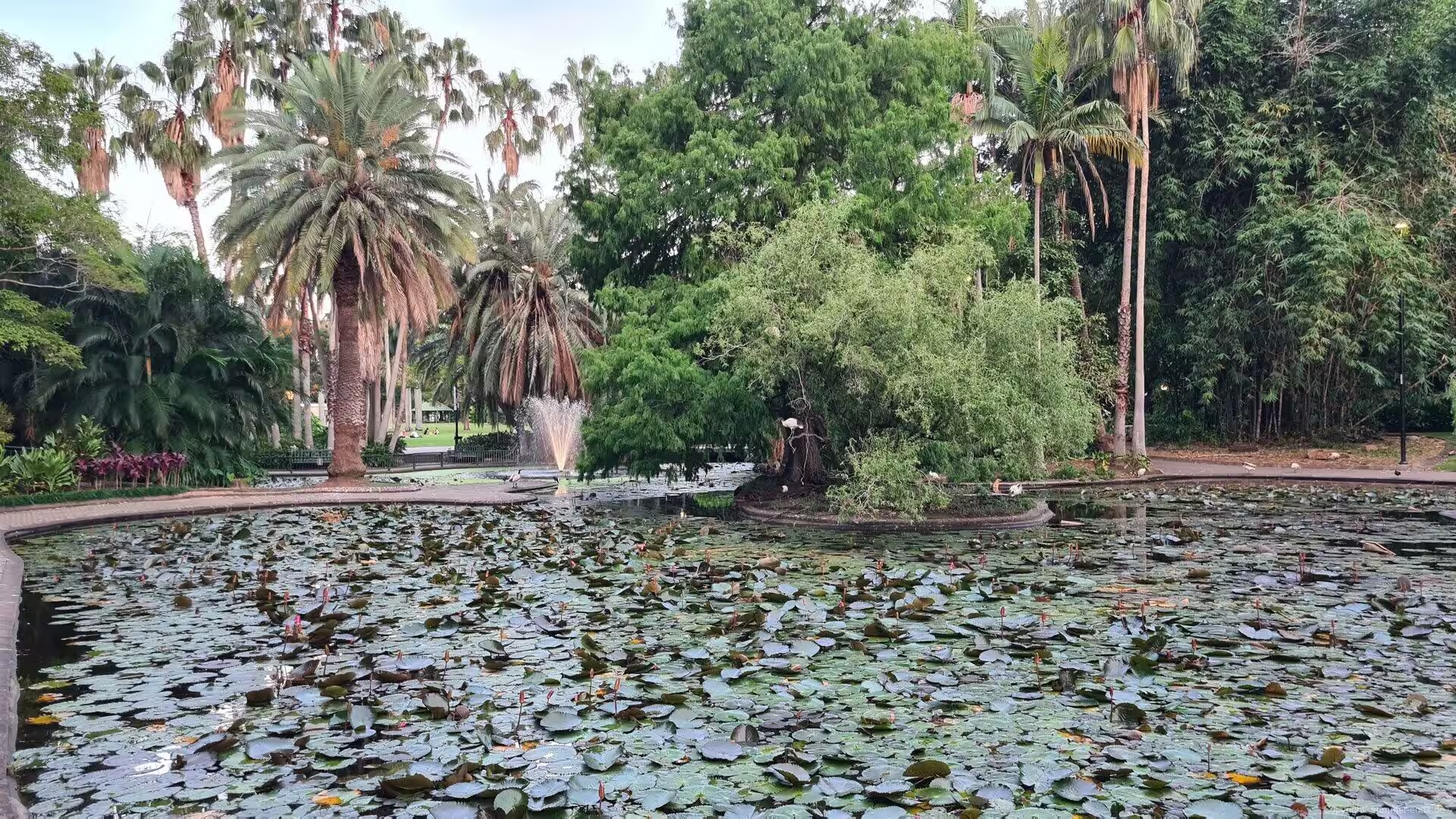
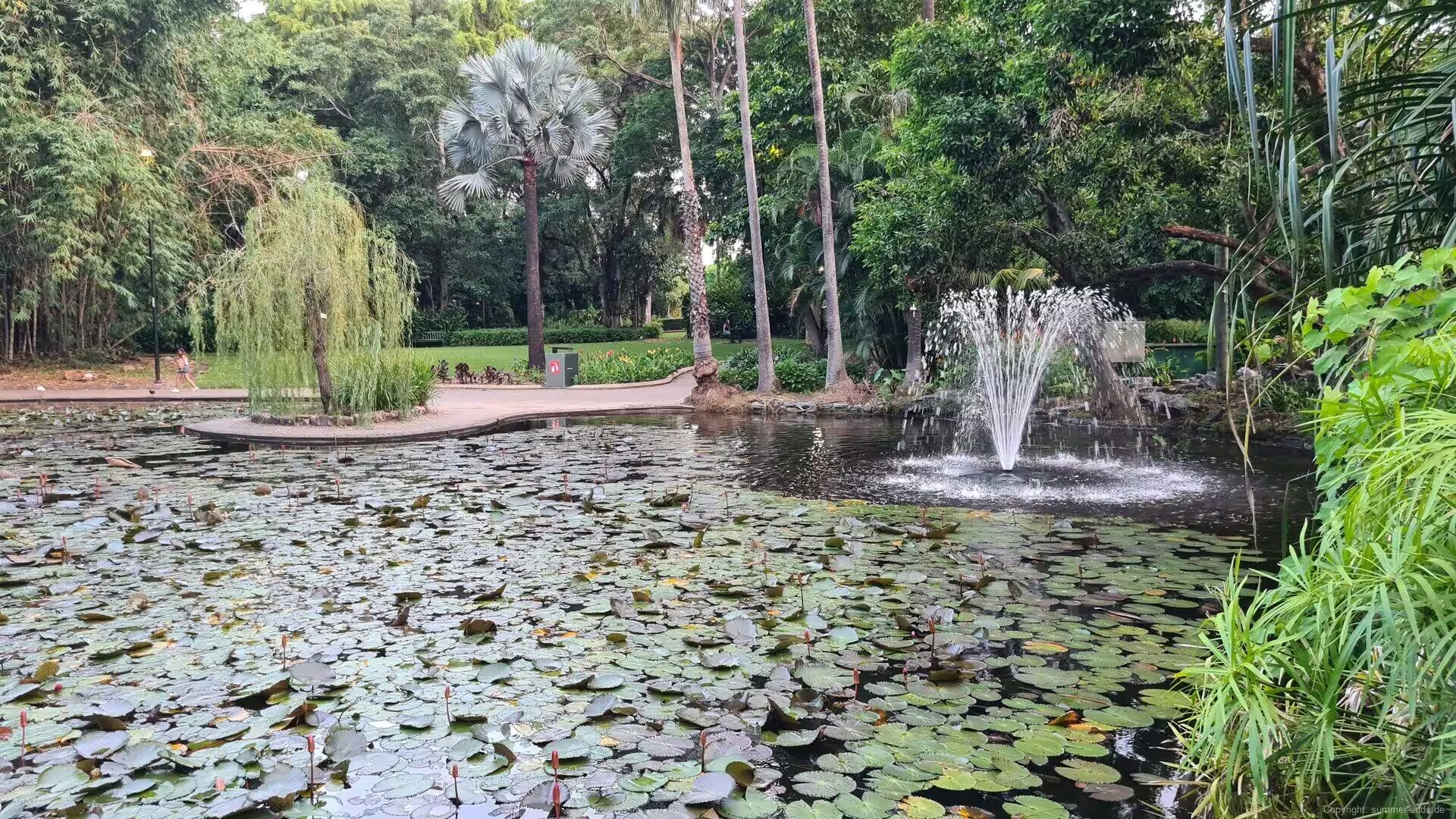
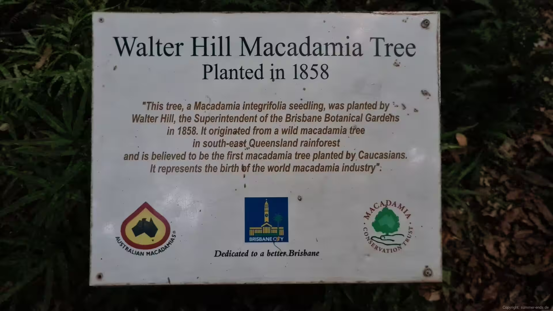
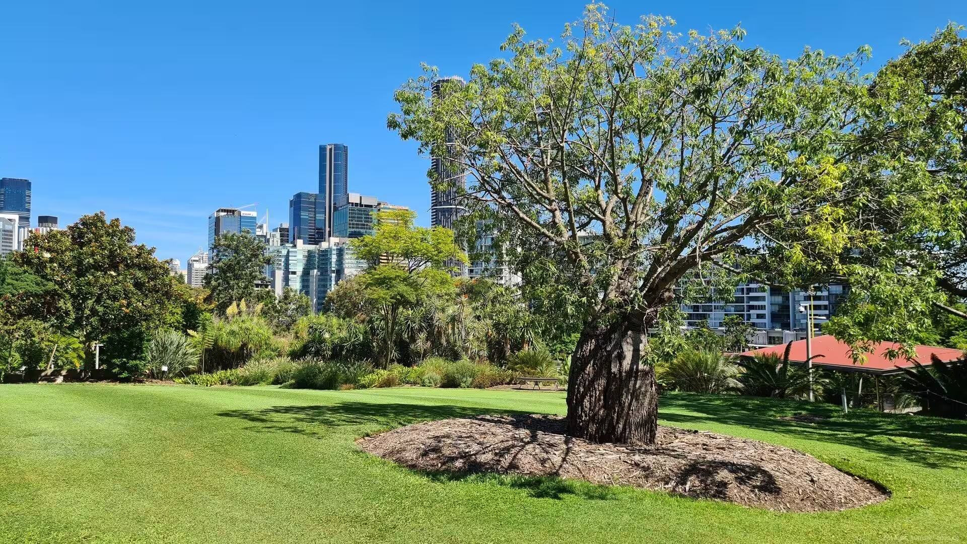
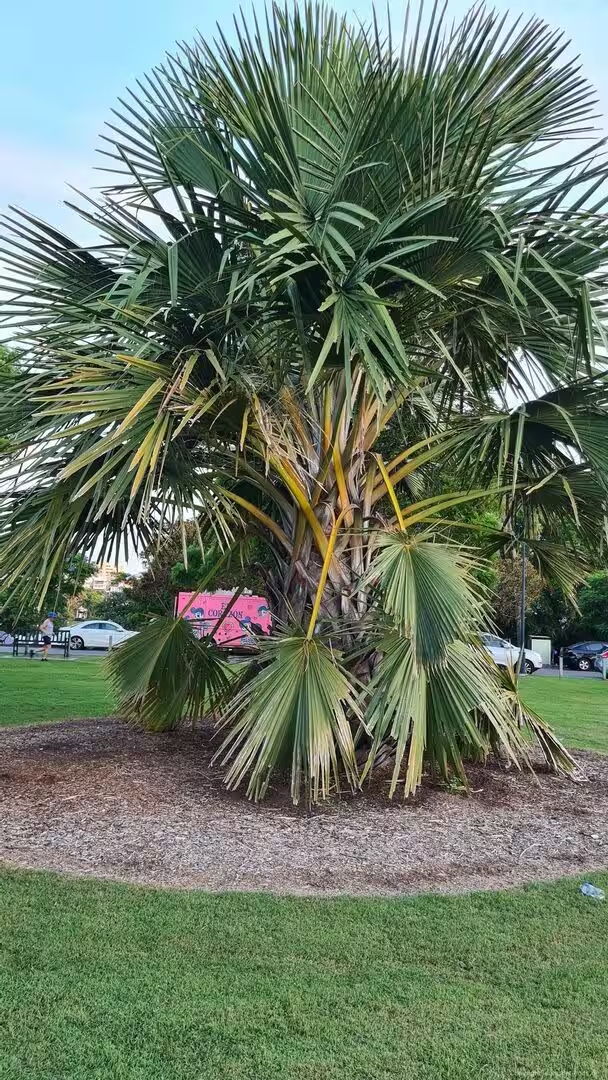
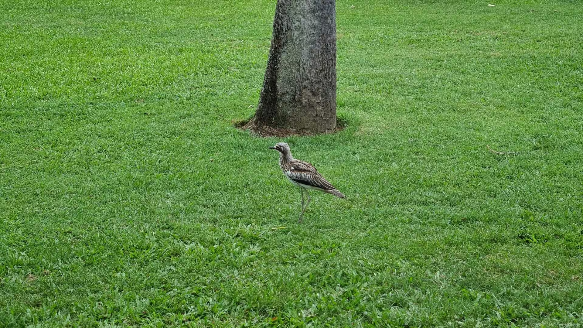
The City Botanic Gardens, beside the river below Parliament House, began as the farm of the penal settlement in 1825 and became a botanic reserve in 1855 under Walter Hill, curator until 1881. Hill acclimatised the plants of the tropics here, among them mango, pawpaw, ginger, tamarind, mahogany, poinciana and jacaranda, and encouraged the sugar pioneer John Buhot, whose work produced the first granulated sugar of Queensland in 1862. The world’s first cultivated macadamia tree, planted by Hill in 1858, still stands beside the lawns among giant figs, cycads and palms, while bush stone-curlews stalk the grass at dusk.
On the western edge of the centre, Roma Street Parkland fills 11 hectares of the old railway goods yards with the world’s largest subtropical garden in a city centre, opened in 2001 with a lake, cascades, a rainforest walk and works by sixteen local artists. Behind it rises the civic quarter: Brisbane City Hall, opened in 1930, lifts a 91-metre clock tower above King George Square, its four faces the largest in Australia when they were installed, and the sandstone Parliament House of 1868 remains the seat of the Parliament of Queensland.
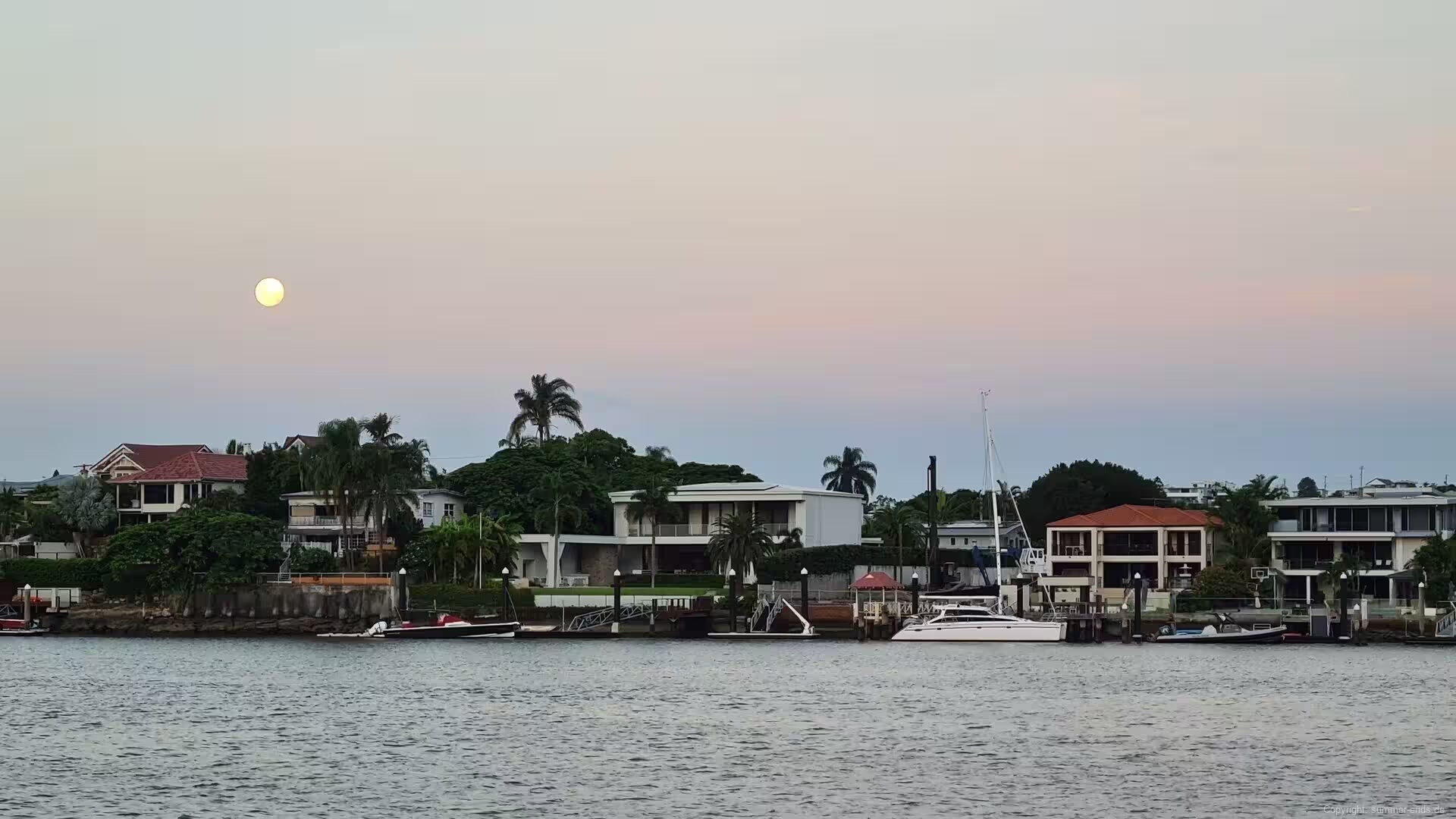
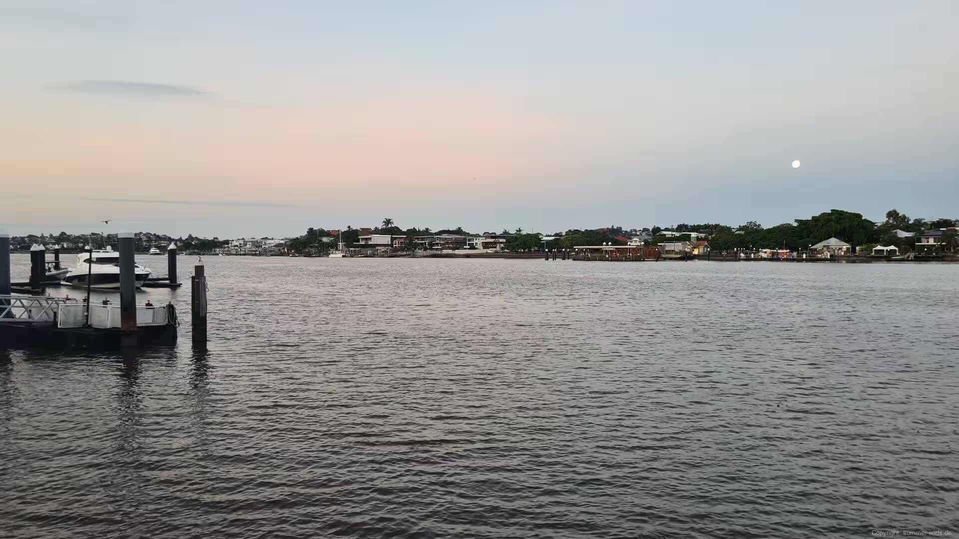
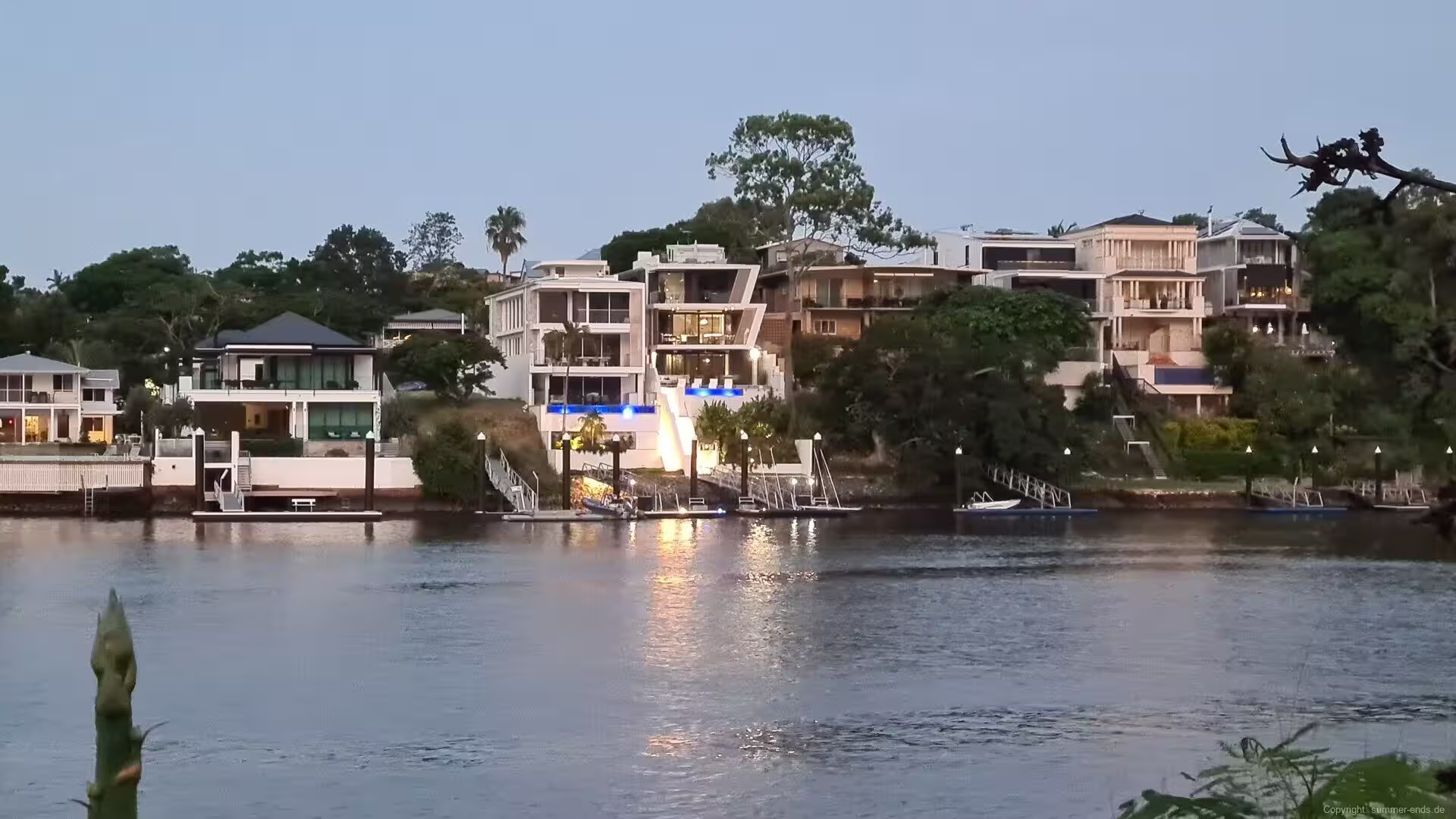
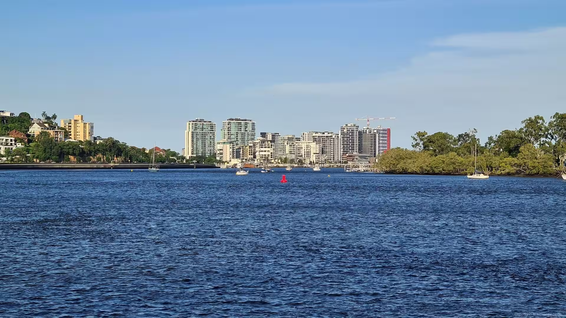
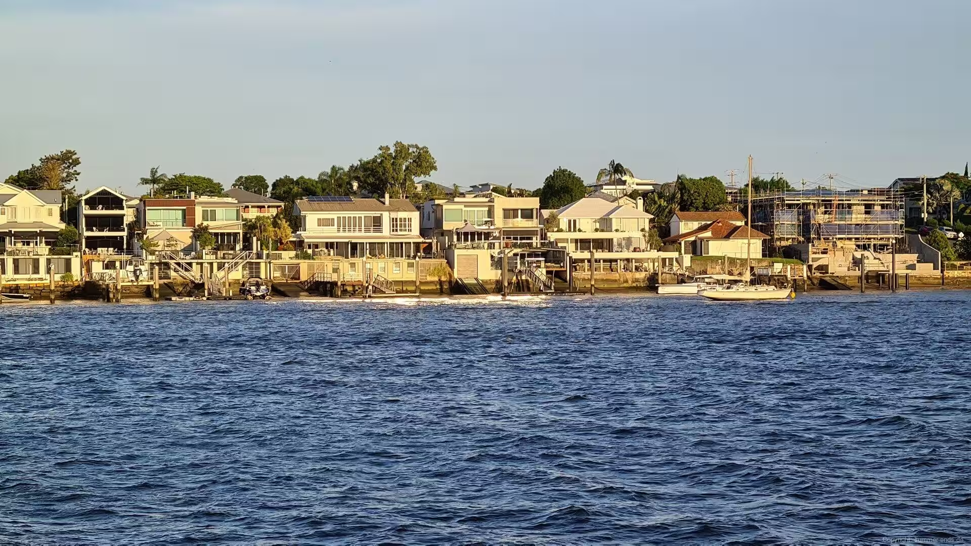
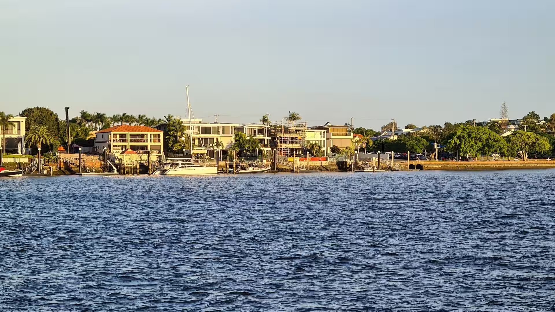
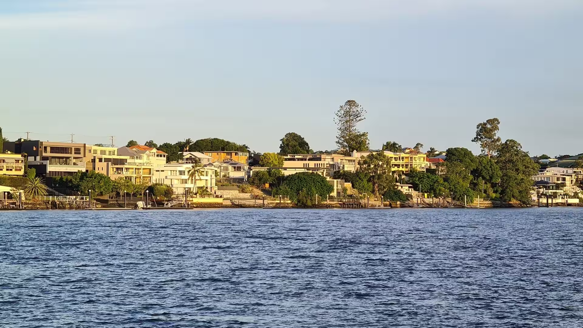
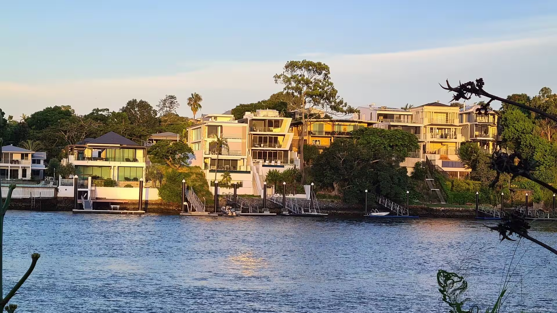
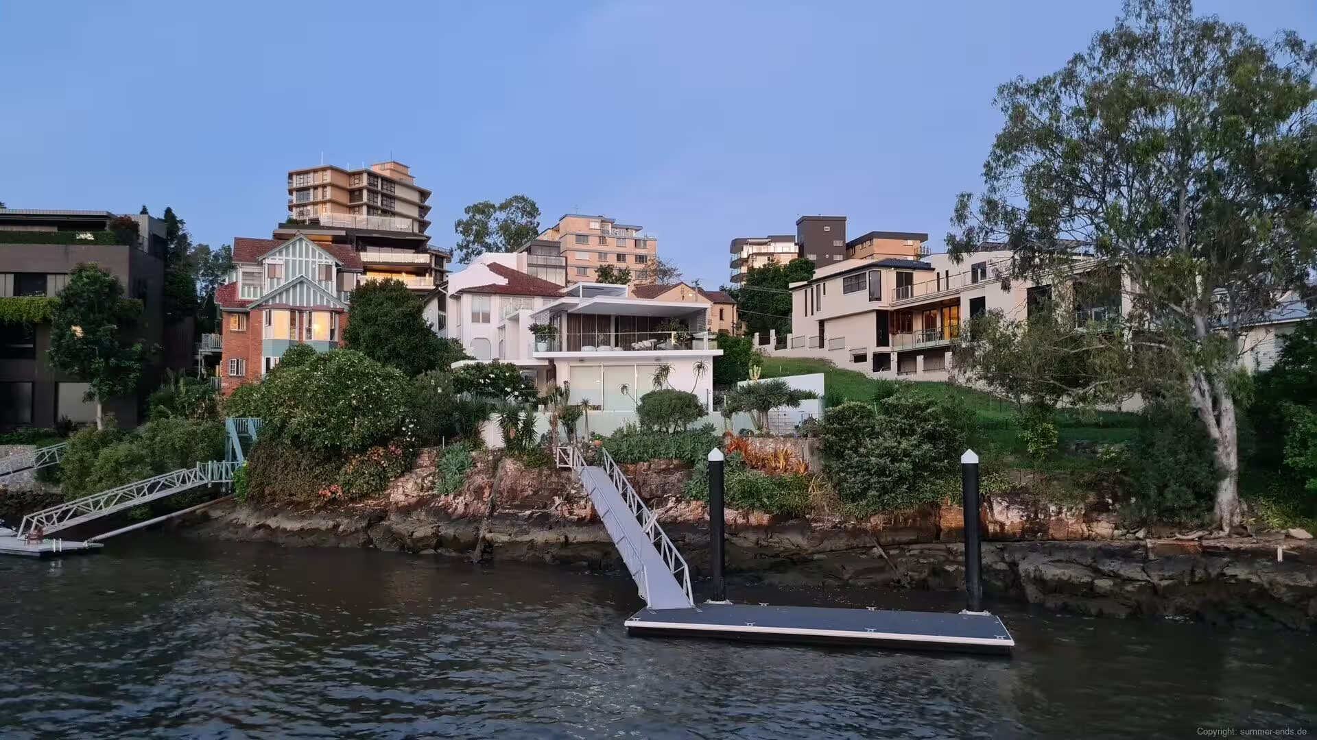
East of the river city, the bayside suburb of Manly opens onto Moreton Bay. Manly Boat Harbour, built in 1958, shelters a marina of 41.8 hectares where yachts lie at their moorings, and waterfront homes keep their private jetties above the calm water. The bay, protected by the sand islands of Moreton and North Stradbroke, holds the seagrass meadows where dugongs gather in the only herds of these animals found in Australia, and in the late afternoon light, with the masts and the islands on the horizon, this is Brisbane at its most serene.
References
- Evans, R. (2007). A History of Queensland. Cambridge: Cambridge University Press.
- Hacker, D. R. (1999). Petries Bight: A Slice of Brisbane History. Bowen Hills: Queensland Women’s Historical Association Inc.
- Moy, M. (2005). Story Bridge: Idea to Icon. Brisbane: Alpha Orion Press.
- Queensland Heritage Register. Story Bridge. apps.des.qld.gov.au/heritage-register/detail/?id=600240
- Brisbane City Council. Kangaroo Point Bridge. www.brisbane.qld.gov.au/transport-and-parking/transport-projects/bridges-for-brisbane/kangaroo-point-bridge
- Wikipedia contributors. Brisbane. en.wikipedia.org/wiki/Brisbane
- Wikipedia contributors. History of Brisbane. en.wikipedia.org/wiki/History_of_Brisbane
- Wikipedia contributors. Brisbane River. en.wikipedia.org/wiki/Brisbane_River
- Wikipedia contributors. Story Bridge. en.wikipedia.org/wiki/Story_Bridge
- Wikipedia contributors. Kangaroo Point Cliffs. en.wikipedia.org/wiki/Kangaroo_Point_Cliffs
- Wikipedia contributors. Brisbane tuff. en.wikipedia.org/wiki/Brisbane_tuff
- Wikipedia contributors. Kangaroo Point Green Bridge. en.wikipedia.org/wiki/Kangaroo_Point_Green_Bridge
- Wikipedia contributors. Howard Smith Wharves. en.wikipedia.org/wiki/Howard_Smith_Wharves
- Wikipedia contributors. South Bank, Queensland. en.wikipedia.org/wiki/South_Bank,_Queensland
- Wikipedia contributors. Queensland Maritime Museum. en.wikipedia.org/wiki/Queensland_Maritime_Museum
- Wikipedia contributors. HMAS Diamantina (K377). en.wikipedia.org/wiki/HMAS_Diamantina_(K377)
- Wikipedia contributors. Nepal Peace Pagoda. en.wikipedia.org/wiki/Nepal_Peace_Pagoda
- Wikipedia contributors. Brisbane City Botanic Gardens. en.wikipedia.org/wiki/Brisbane_City_Botanic_Gardens
- Wikipedia contributors. Roma Street Parkland. en.wikipedia.org/wiki/Roma_Street_Parkland
- Wikipedia contributors. Brisbane City Hall. en.wikipedia.org/wiki/Brisbane_City_Hall
- Wikipedia contributors. Parliament House, Brisbane. en.wikipedia.org/wiki/Parliament_House,_Brisbane
- Wikipedia contributors. Moreton Bay. en.wikipedia.org/wiki/Moreton_Bay
- Wikipedia contributors. RiverCity Ferries. en.wikipedia.org/wiki/RiverCity_Ferries
- Wikipedia contributors. Manly, Queensland. en.wikipedia.org/wiki/Manly,_Queensland