2024 Australia - October - Border Ranges National Park



Journal Notes
General
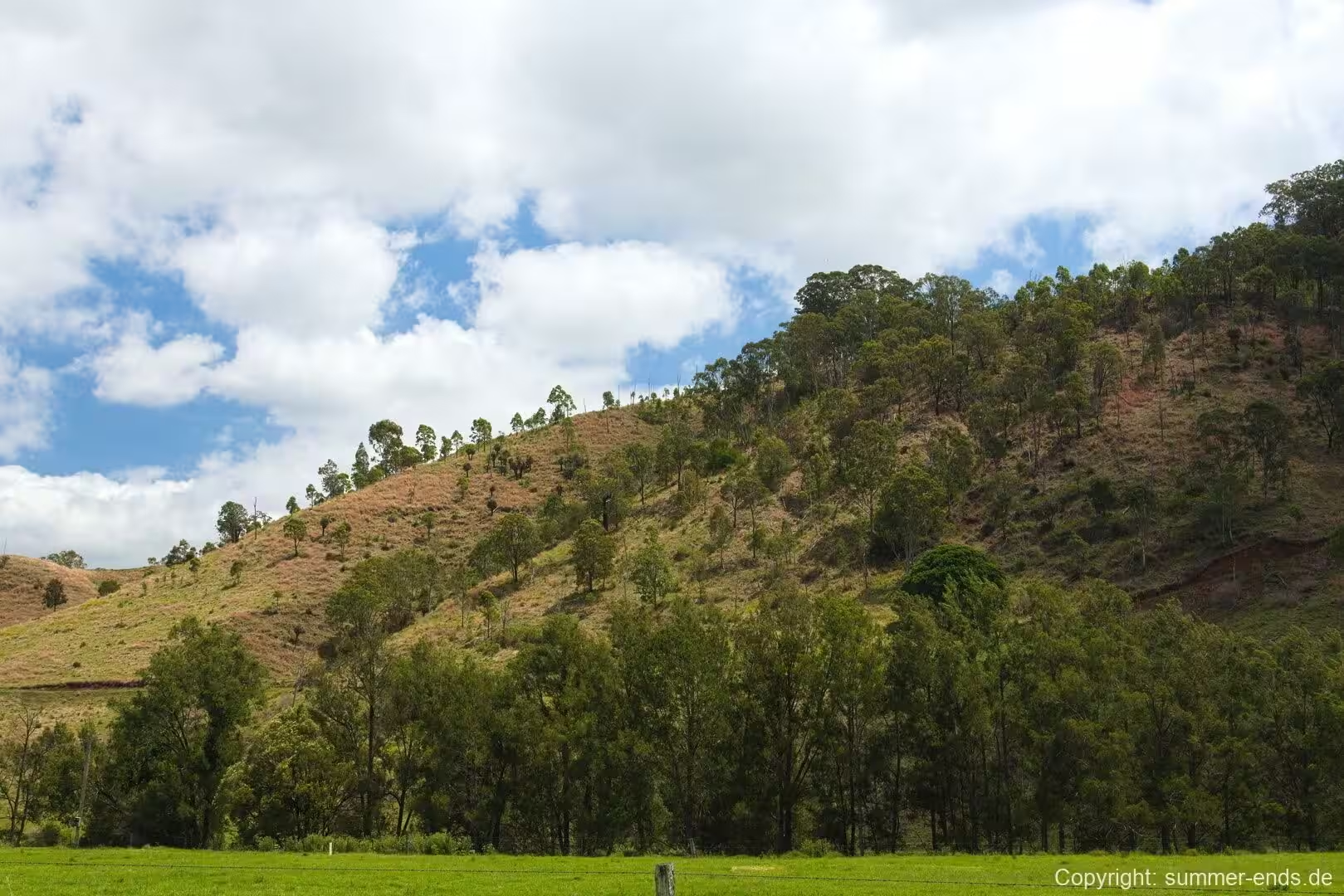
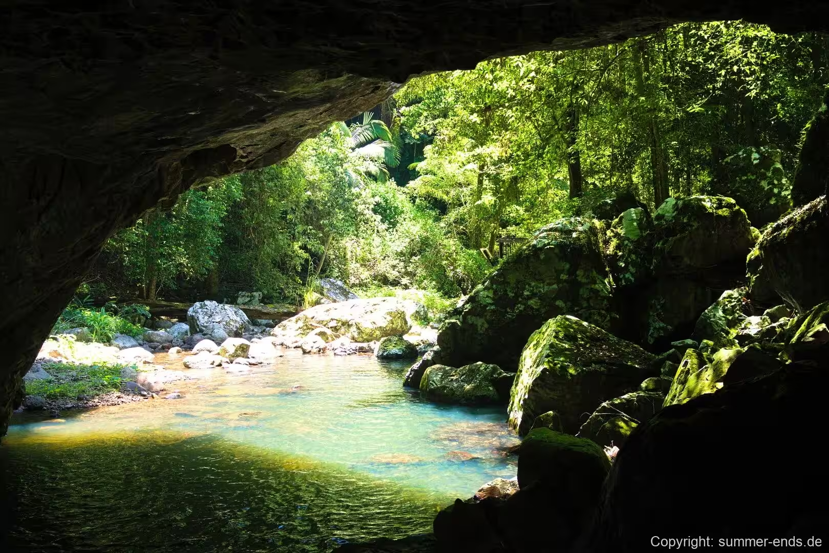
Border Ranges National Park lies in the Northern Rivers region of north-eastern New South Wales, with a small portion spilling across the border into South East Queensland. The park occupies roughly 31,729 hectares in and around the McPherson Range, between Kyogle, Murwillumbah and the Queensland state line. It is a little under 150 kilometres south of Brisbane, yet it feels a world apart: a remote stretch of the Great Dividing Range where the escarpment drops from dense rainforest ridge into the Tweed Valley below.
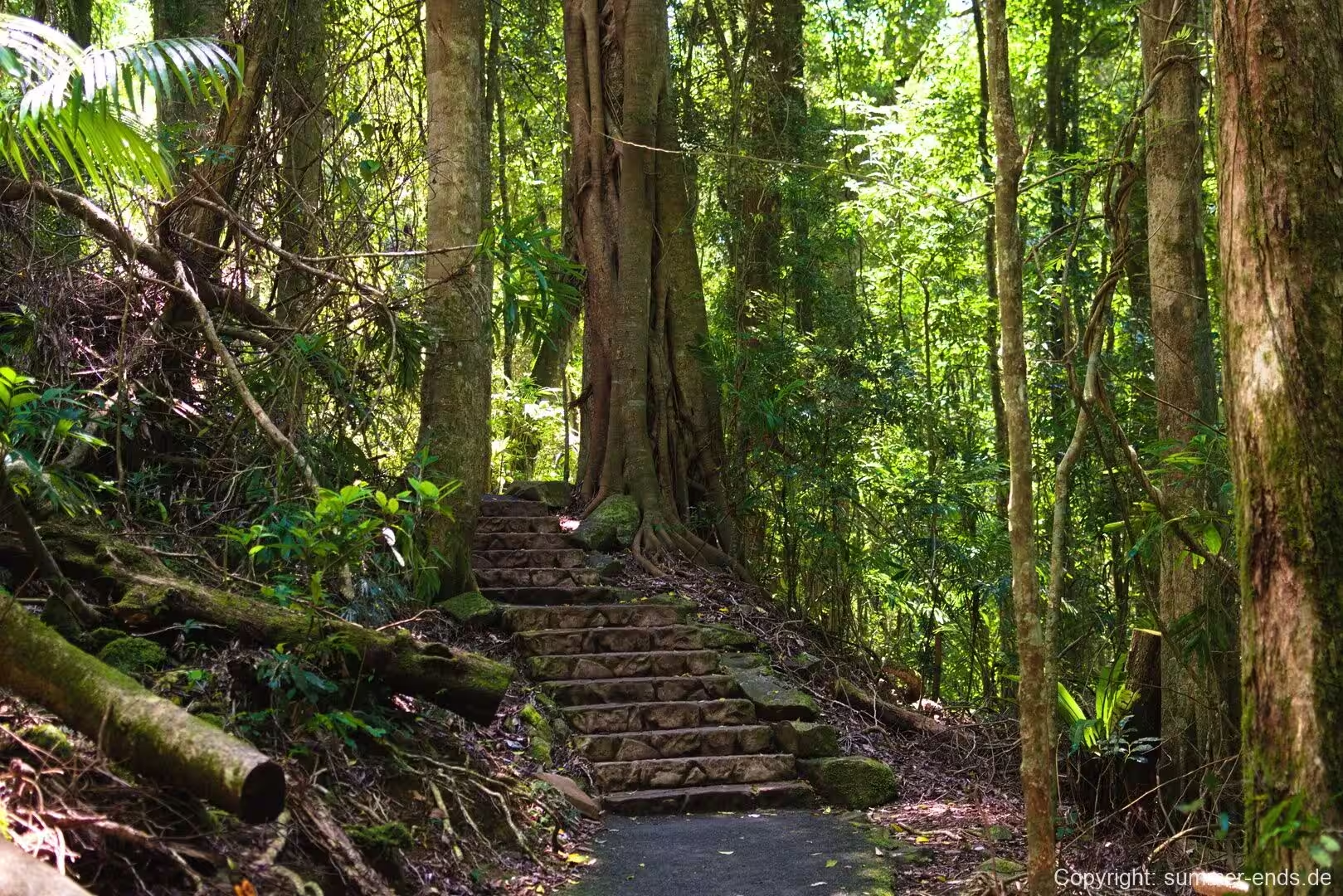
The park sits on the Shield Volcano Group of the Gondwana Rainforests of Australia World Heritage Area, a serial property that protects the largest surviving areas of subtropical rainforest on the planet along with nearly all of the cool-temperate Antarctic beech forest in the world. Within that wider listing, Border Ranges is celebrated for showing the full sweep of rainforest types: subtropical, warm-temperate and cool-temperate, all within the one protected block. That variety in a single park is rare anywhere in Australia.
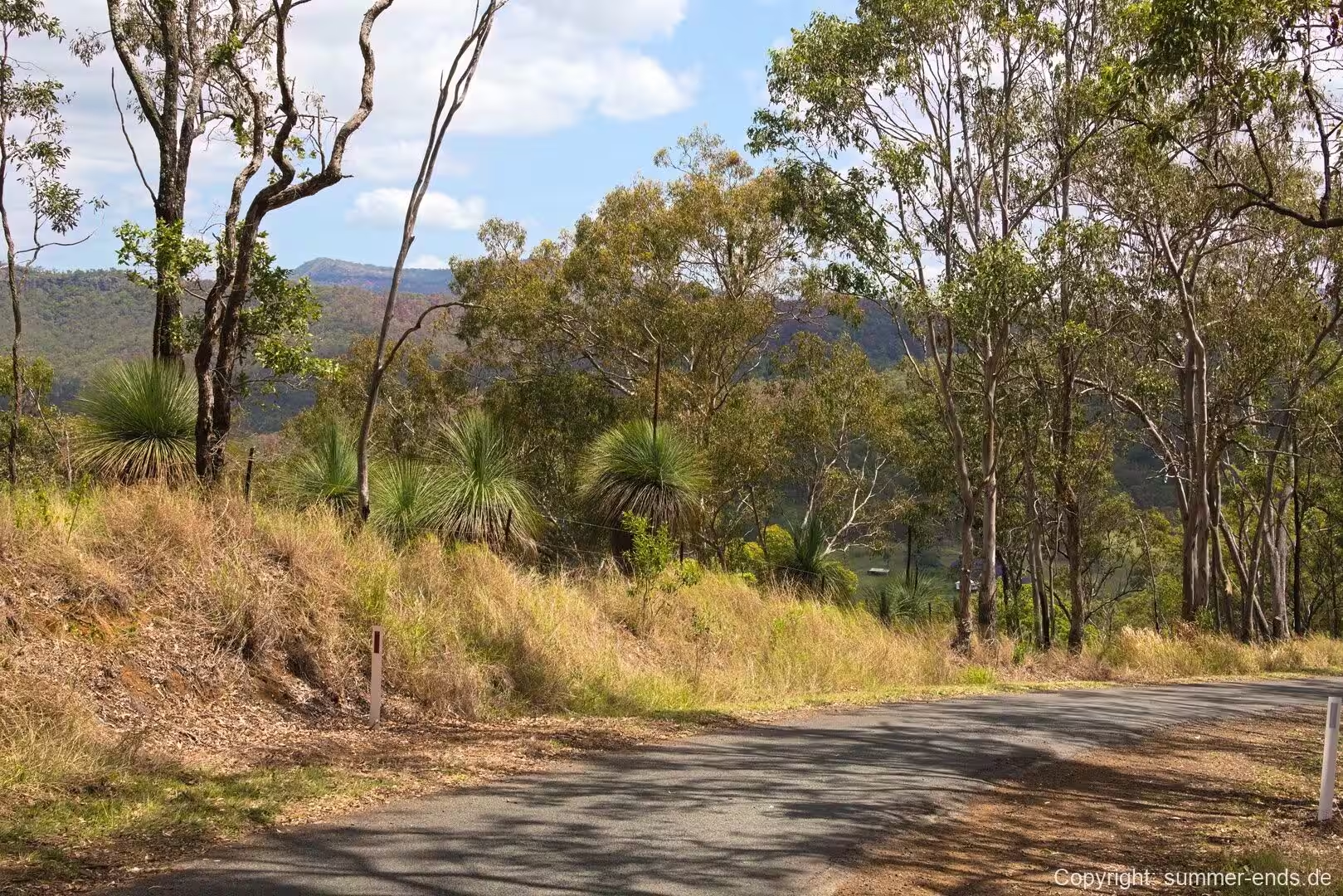
Vegetation is the park’s defining feature. Stands of Antarctic beech (Nothofagus moorei) reach their northern limit on the cooler escarpments here, trees whose living relatives trace back to the ancient supercontinent of Gondwana. Alongside them grow booyong, brush box and a canopy that supports one of the most diverse assemblages of spiders found in Australia’s montane rainforest. The ranges are recognised as a biodiversity hotspot, a junction where northern and southern flora meet in what is known as the McPherson-Macleay overlap, producing a number of endemic, rare and threatened species.
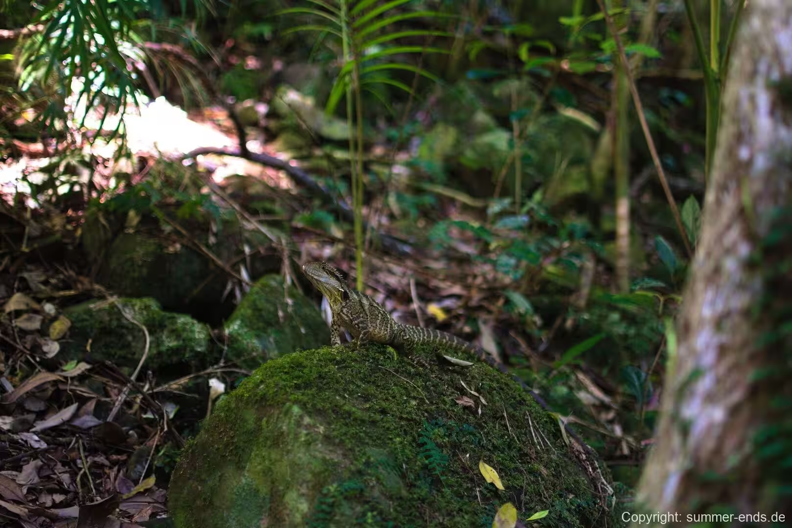
Fauna is just as varied. Lower eucalypt forest holds eastern grey kangaroos, red-necked wallabies, pademelons and potoroo, while the deep rainforest harbours possums and gliding possums and the unusual pouched frog Assa darlingtoni. The rare Albert’s lyrebird is among the birdlife recorded in the region, and echidnas pass through the soft forest floor.
The ranges are among the more reliably wet parts of New South Wales, since the high country intercepts moist air and the rainfall that results sustains the lush growth right to the ridgetops. The park is also a key link in the Scenic Rim, the arc of associated reserve country in Queensland and northern New South Wales, and together with its neighbours it forms a near-continuous corridor of protected habitat rather than an isolated pocket of forest.
A 64-kilometre gravel road, the Tweed Range Scenic Drive, threads the park through contrasting forest types and connects two entrances: Creegans Road to the south and Forest Road, reached via the Summerland Way at Wiangaree, to the north. The loop gives visitors a way into a wilderness that otherwise has a distinctly remote, unroaded character, and rough gravel in parts keeps it quieter than the better-known coastal reserves.
The name refers to the ranges that follow the New South Wales-Queensland boundary, which runs near the crest of the divide, and that shared high country is why the park is so often considered alongside reserves on both sides of the state line. Distinctly for a park of its size, the road network stays deliberately small, and most of the area is genuinely wilderness with no through traffic at all.
History
The ranges were settled later and more sparingly than the coast. Timber cutters moved into the area from the 1840s in search of red cedar, prized timber known locally as red gold, and logging of cedar and later hoop pine extended through the early decades of the twentieth century. This period stripped much of the once-vast rainforest, and by the middle of the century only scattered old growth remained on the steeper, less accessible slopes. Much of the surrounding land was held as state forest, logged under a continuing timber regime.
Protection grew out of a broader conservation movement rather than a single early reservation. As concern over the remaining rainforest mounted through the 1970s, the issue reached national attention, and the widely reported blockades that took place in the neighbouring ranges that same decade put rainforest logging firmly on the public agenda. Pressure to save the trees led to the creation of the park on 8 June 1979. The gazettal marked an end to large-scale logging in the region, safeguarding the tracts that had survived clearing, and the boundary was later adjusted as more of the former timber estate came into reserve.
The park was immediately meaningful beyond New South Wales. It adjoins Lamington National Park across the Queensland border, an area protected decades earlier, so the two reserves together conserve a continuous head of country along the divide. Recognition on the international stage came when the park was inscribed in 1986 as part of the Gondwana Rainforests of Australia World Heritage property, with the wider serial listing extended in 1994. In 2007 the park was also added to the Australian National Heritage List.
That World Heritage status rests on solid grounds. The property was recognised for the outstanding geological features of its shield volcanic craters and for the high concentration of rare, threatened and primitive subtropical and warm-temperate rainforest species, many of which are found within Border Ranges itself.
Geology
The landforms of Border Ranges are the work of an extinct volcano. The park lies on the slopes of the Tweed Volcano, one of the great shield volcanoes of eastern Australia, and the ranges around it are its eroded remains. The broad volcanic edifice built up over many eruptions, layering basalt lava flows that spread across the landscape before the volcano became inactive.
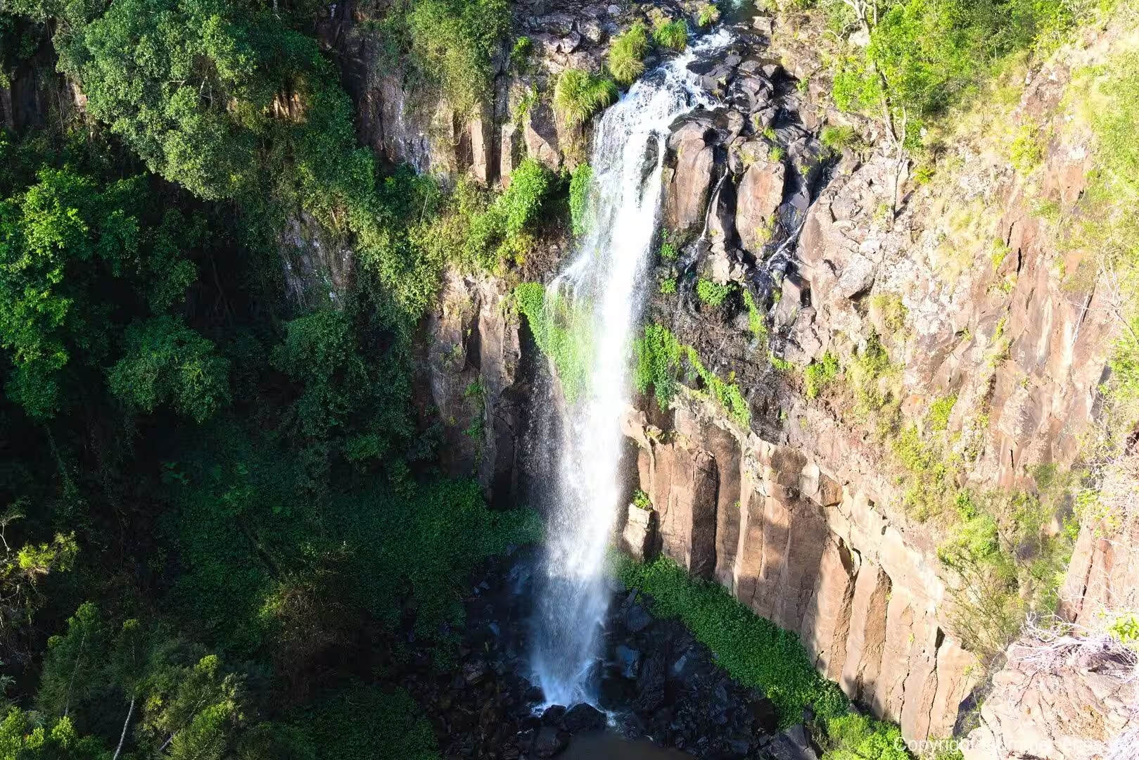
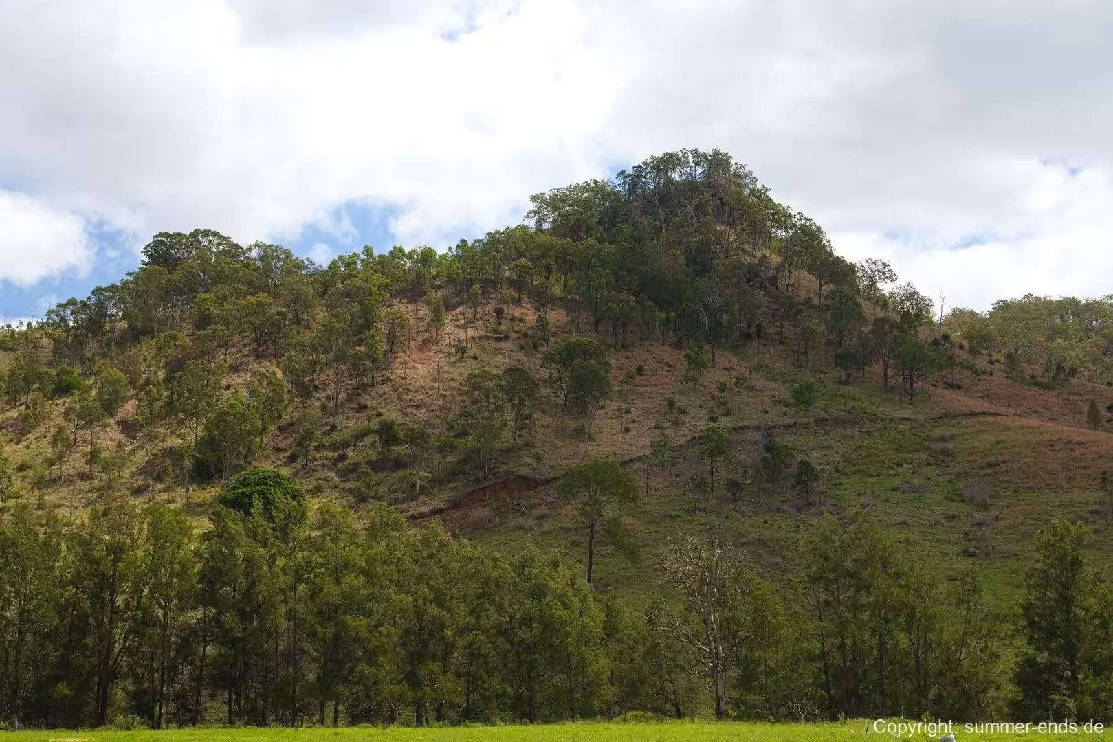
Over millions of years the softer parts of the pile wore away, leaving the resistant ridges and escarpments that now carry the watershed. The McPherson Range, Tweed Range, Lamington Plateau and Levers Plateau all belong to this eroded shield, and a number of volcanic plugs still stand within the park, the hardened necks of old vents revealed as the surrounding rock disappeared. The central remnant is far larger in scale: the caldera rim of the same volcano rises across the valley at Wollumbin, formerly Mount Warning, the surviving central vent of the original eruption.
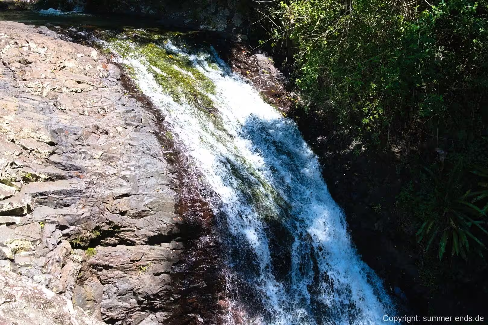
The shape that results is a broad, bowl-like amphitheatre around the Tweed Valley, a form that geologists describe as an erosion caldera. The rim survives as the ranges; the basin inside it was carved by water working on the volcanic pile long after eruptions ceased. Rain that falls on the high ground does the cutting, and as streams drop down the slopes they have worn the deposits into deep valleys and steep scarps, their edges exposing the stacked basalt flows that built the shield. In the quieter knolls the old vent plugs stand like towers, each one a small summit in its own right.
This volcanic origin shapes the whole landscape. Soils derived from the basaltic lavas are comparatively fertile and hold moisture well, which is part of why such tall rainforest can grow on slopes that would otherwise be thin and dry. The cooler, cloudier parts of the escarpment favour the Antarctic beech, while lower ground carries the warmer subtropical forest.
The Shield Volcano Group of the World Heritage property, which includes Border Ranges, Lamington and Springbrook, is defined precisely by these remnants. The layered flows, plugs and deeply cut escarpments together record the life story of a shield volcano and its slow dismantling. The landscape began to take its present shape only after the volcanic pile stopped growing, a sequence of erosion that continues in the tumbling creeks that cut the steep slopes.
Volcanic activity of this kind is ancient in human terms but recent in geological measure, and the peaks that remain still carry the unmistakable outline of a shield that has been shaved down by weathering. For visitors the practical expression of that story is simple: fertile ground, steep ground and a great deal of water, the three ingredients that make the forest here so tall and so green.
Things to See
Much of the park is best taken in from above. Bar Mountain Lookout stands high on Bar Mountain track and gives sweeping views over the escarpment and across to the distinctive Black Hand Mountain. Blackbutt Lookout is a picnic area looking out over the surrounding bush-covered plateau and the valleys of the Tweed, with extensive views to Wollumbin. The Pinnacle walk and Lookout is a short, easy grade of about 600 metres return with a wide panorama that takes in the ranges and drops into the neighbouring Mebbin National Park. Border Loop Lookout is a different kind of viewpoint, built for railway watchers at a point where the main line performs one of the only railway spirals in New South Wales.
The lookouts and the roads between them also frame views of Wollumbin and the Tweed Valley, the great rounded peak of the old central vent rising above the surrounding rim. The celebrated Brummies Lookout, famous for its vantage over the western cliff face of Wollumbin, sits a short distance outside the park on the adjoining ridge in the neighbouring Wollumbin National Park, reached by a climb from the Tyalgum side. Within the park itself, the scalloped ridge of the Tweed Range Scenic Drive is the most reliable way to catch the summit panoramas.
Walking reveals the forest itself. The Bar Mountain Circuit is a loop of roughly four kilometres through the Gondwana forest, passing the lookout on the way. Booyong Track is a longer one-way trek of about nine kilometres beneath tall, cathedral-like canopy, and Brindle Creek Walking Track, the Falcorostrum Loop and the Helmholtzia Loop are shorter walks of a few hours each that wind beneath beech and booyong and past small cascades on the steep, fern-lined slopes. Near Sheepstation Creek, the Palm Forest walk and the Rosewood loop add gentle contrasts. The tracks are uneven underfoot, root and stone, and graded from easy to demanding, so firm footwear and a full water bottle are sensible.
Facilities are deliberately basic. Picnic areas, some with shelters, water and composting toilets, sit at points in the rainforest beside the road, and the viewing spot at Blackbutts Lookout is among the most rewarding. Two campgrounds provide the only overnight options: Forest Tops, a small site beside the head of Booyong Track, and Sheepstation Creek, which is larger and makes a convenient base for the cluster of walks around it. Visitors should carry all of their own food and drinking water.
Wildlife is a reward for quiet walking. Pademelons and potoroo move along the forest floor, and echidnas leave their tracks in the soft ground. Lyrebirds are heard more often than seen, and the rare Albert’s lyrebird is one of the blue-ribbon species of the Range. Possums and gliding possums take over after dark, and on the higher ridges the Antarctic beech forest turns a walk into a passage through some of the oldest living trees in Australia.
A day out can pair the lookouts with a stop at one of the short forest loops, and the route between them is easy to follow though surfaced only in places. Driving cuts travel time but walking is where the park opens out, and the softer rewards come at the range’s own pace: the cool, misty mornings on the high ground and the hush of the forest after rain. Whatever the distance covered, the mix of summit views, rainforest interior and World Heritage designation is the reason visitors come.
References
- www.nationalparks.nsw.gov.au/visit-a-park/parks/border-ranges-national-park
- www.nationalparks.nsw.gov.au/visit-a-park/parks/border-ranges-national-park/learn-more
- www.nsw.gov.au/visiting-and-exploring-nsw/locations-and-attractions/border-ranges-national-park
- en.wikivoyage.org/wiki/Border_Ranges_National_Park
- en.wikipedia.org/wiki/Border_Ranges_National_Park
- en.wikipedia.org/wiki/Gondwana_Rainforests_of_Australia
- en.wikipedia.org/wiki/Tweed_Volcano
- en.wikipedia.org/wiki/Mount_Warning
- en.wikipedia.org/wiki/Nothofagus_moorei
- en.wikipedia.org/wiki/McPherson_Range
- en.wikipedia.org/wiki/Lamington_National_Park
- en.wikipedia.org/wiki/Scenic_Rim
- en.wikipedia.org/wiki/Wollumbin_National_Park
- en.wikipedia.org/wiki/Albert%27s_lyrebird
- en.wikipedia.org/wiki/Tweed_River_(New_South_Wales)