2024 Australia - October - Gold Coast




Journal Notes
General
The Gold Coast is a large coastal city in the south-eastern corner of Queensland, Australia, roughly 70 kilometres by road south of the Brisbane city centre and about 30 kilometres north of the New South Wales border. It fronts the Coral Sea and is laid out along a flat, heavily built coastal strip that runs parallel to the shoreline. The city is Australia’s sixth largest and its largest non-capital city, and the local government area recorded a population of 625,087 at the 2021 census, while estimates for the wider metropolitan area reached roughly 750,000 by 2024.
The municipality stretches about 56 kilometres from the Albert and Logan rivers and the southern shores of Moreton Bay in the north to the state border with New South Wales in the south, and extends west from the ocean to the foothills of the Great Dividing Range, which here is known as the Gold Coast hinterland. The heavily built suburbs of Southport and Surfers Paradise together form the commercial centre of the city. Two shallow river systems wind through the district, the Nerang and the Coomera, and the broad catchment between them is threaded with canals and artificial waterways.
Within the local government area the municipality covers a large territory, and the council seat sits at Surfers Paradise. The City of Gold Coast is the second most populous local government area in Queensland, after Brisbane. Much of that territory remains unbuilt: roughly half of the Gold Coast is still under forest of various kinds, from small patches of near-pristine ancient rainforest and mangrove-fringed islands to coastal heathland and blocks of uncleared eucalypt forest, while pockets of farmland and a few surviving stands of the plantation pines raised in the 1950s and 1960s break up the bush. Before European settlement nearly all of it was wooded, and the 19th century brought extensive clearing for grazing, timber and the new townships.
The economy is dominated by the service sector, with tourism at its heart: the region has long been sold as a beach and leisure destination and is a major centre for theme parks, conventions and events. The Gold Coast is also one of Australia’s largest centres for television and screen production, ranked third nationally behind Sydney and Melbourne. The climate is humid subtropical, with warm, humid summers and short, mild winters, and most of the rain falls between November and March. Rainfall is shaped strongly by the coastal position and by orographic lift against the hinterland ranges, and the district has become one of the fastest-growing parts of the country, centred firmly on coastal, recreation-orientated living. Transport is anchored by the Pacific Motorway, part of the Brisbane to Sydney corridor, and by the Gold Coast Airport at Coolangatta at the southern end of the strip, close to the state border.
History
Before European colonisation the district was the ancestral home of the Yugambeh people, whose clans in the immediate area included the Kombumerri, the Mununjali and the Wangerriburra. Archaeological evidence points to occupation of the wider region for at least 23,000 years, and the coastal, riverine and forest country around the lower Nerang supported complex economies built on fishing, collecting and small-scale cultivation. The first Europeans recorded a visit in 1823, when John Oxley explored the Tweed and its river, but settlement began only slowly and was driven inland through the middle of the 19th century as cedar and other timbers drew workers into the hinterland.
Small townships grew up along the shore and in the ranges. Nerang was surveyed as a base for the timber industry and had a town reserve by 1870, and Burleigh Heads followed in 1873. The little settlement at the head of the Nerang, originally called Nerang Heads, was surveyed and renamed Southport in 1875, and it quickly became a summer retreat for wealthy Brisbane families. By the end of the 19th century seaside hotels and boarding houses lined the esplanades, and the district had begun to think of itself as a resort. From the years after the First World War until 1946 cheap seaside shacks were run up all along the strip, many of them built from recycled or second-grade timber, and the modest coastal holiday gradually became a fixture of the local economy.
The decisive figure in the modern suburb was James (Jim) Cavill, a Brisbane hotelier who opened the Surfers Paradise Hotel in the late 1920s, after which the district began to grow considerably; Cavill Avenue, one of the busiest shopping strips in Queensland, still carries his name. The region was long known as the South Coast, simply because it lay south of Brisbane, and the name Gold Coast emerged only as a nickname in 1950, after a period of sharply inflated property prices. Many locals disliked the tag at first, but within a few years it had become the accepted name of the strip from Southport to Coolangatta.
Administratively the district was consolidated in 1949, when the Town of South Coast was formed by merging the towns of Southport and Coolangatta with the coastal parts of the Shire of Nerang. That body was renamed the Town of Gold Coast on 23 October 1958 and was proclaimed a city on 16 May 1959. The city boomed as a tourist destination through the 1980s, absorbed the neighbouring Shire of Albert in 1994, overtook Newcastle to become the country’s sixth largest city in 2007, and hosted the 2018 Commonwealth Games. Those decades also saw the strip reshaped by high-rise towers, canalside housing and the northern theme park belt that now anchors the tourism economy.
Geology
The city is set on a low coastal plain of recent sedimentary origin. The heavily developed strip occupies a narrow, sandy barrier that lies between the estuarine waterways and the open sea; the beach itself is a ribbon of sand almost 42 kilometres long, swept by longshore drift and rebuilt by wind into low dunes. Behind this barrier the ground falls away to the broad, flat floor of the Nerang, an area that was once extensive wetland but has been drained and cut into a network of engineered tidal canals and artificial islands that now extend to more than 260 kilometres, over nine times the length of the canals of Venice.
The beaches are not fixed: they are mobile sand bodies that shift with each winter swell, and the worst of the southern cyclones have repeatedly stripped sand from the foreshore. Since the 1970s this has forced a series of engineered beach protection works, including the construction of the Gold Coast Seaway and the long programme of sand bypassing and coastal dredging that continues to hold the shore in place. At the northern end the Seaway is the engineered entrance between the Spit and South Stradbroke Island; the sand that would naturally drift away from the beaches past its walls is pumped back onto the foreshore each year, and the entrance itself maintains the tidal exchange between the river and the sea on which the canals depend. The sand on the beaches is largely reworked coastal sediment delivered by longshore transport rather than by the short, steep rivers that drain the district.
Rising sharply to the west is the hinterland of the Great Dividing Range, including the Tweed Range, the Nimmel Range, Tamborine Mountain, the Numinbah Valley and the eastern McPherson Range. These uplands are the eroded remains of the Tweed Volcano, an extinct shield volcano that formed when the region passed over the East Australia hotspot roughly 23 million years ago. The volcano originally stood more than 100 kilometres across, and since it died out erosion has removed almost all of it, leaving a vast caldera around the basalt plug of Mount Warning, the largest erosion caldera in the Southern Hemisphere. Above the plain the dissected plateaus of Springbrook and the Lamington Plateau carry patches of near-pristine subtropical rainforest, and the 206 square kilometres of Lamington National Park are inscribed on the World Heritage list for the outstanding geological features displayed around the shield volcanic craters and for their rare and threatened rainforest species.
Things to See
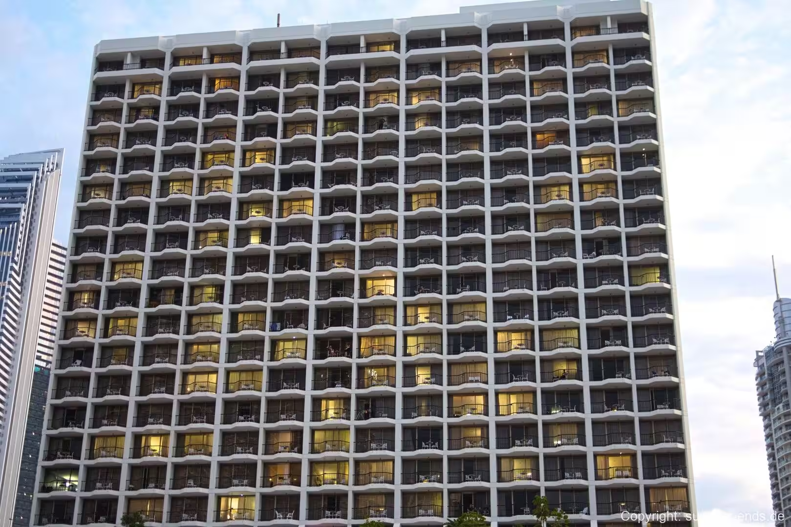
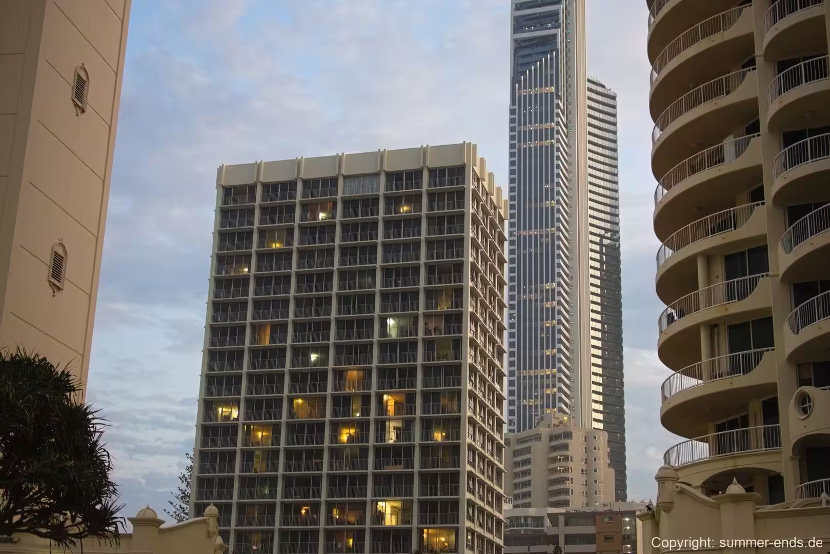
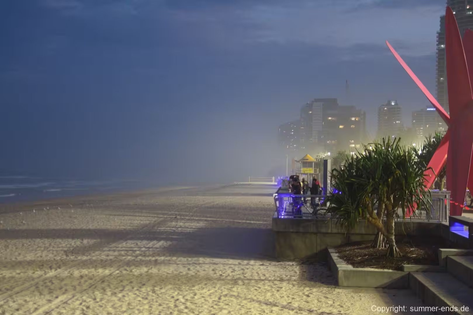
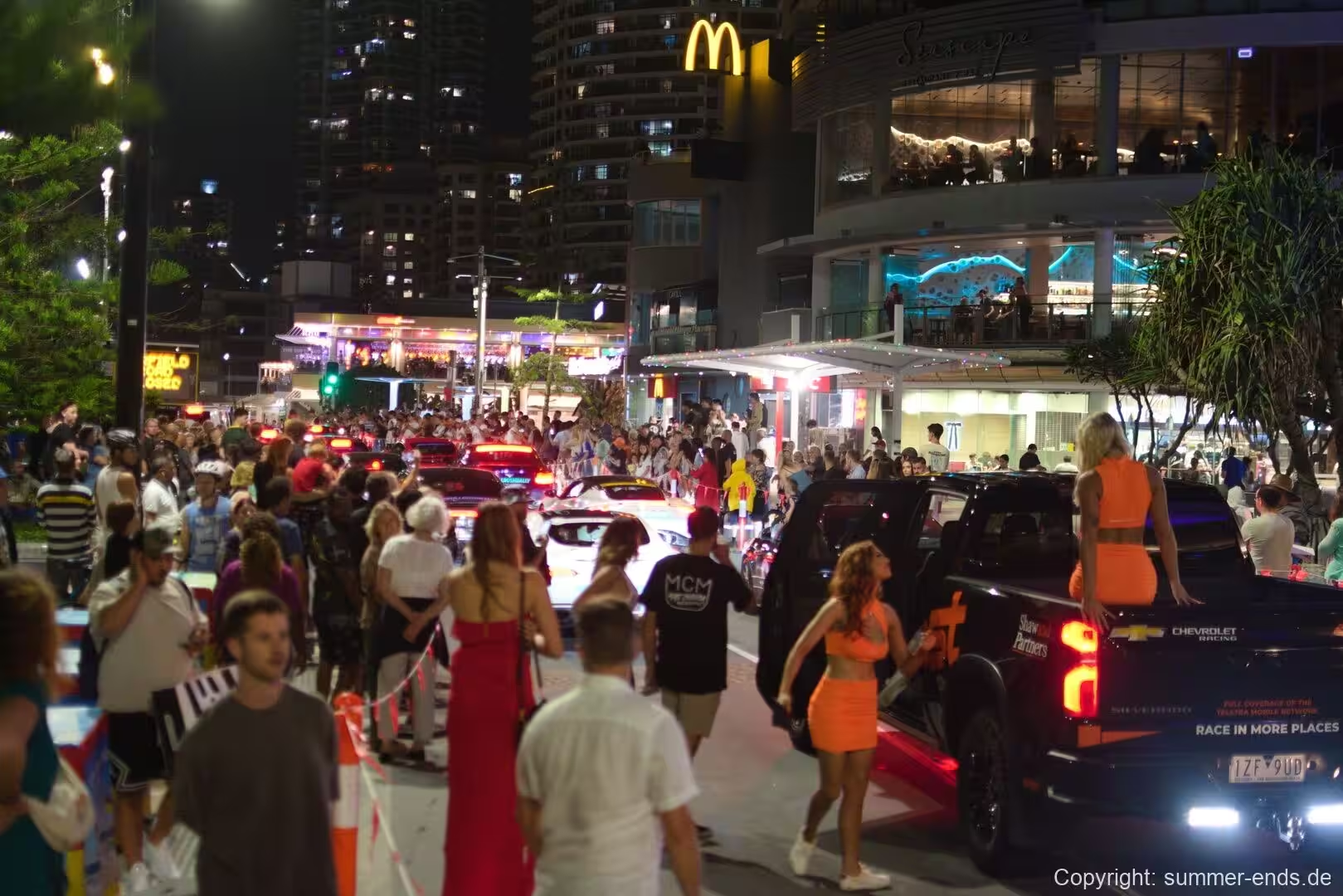
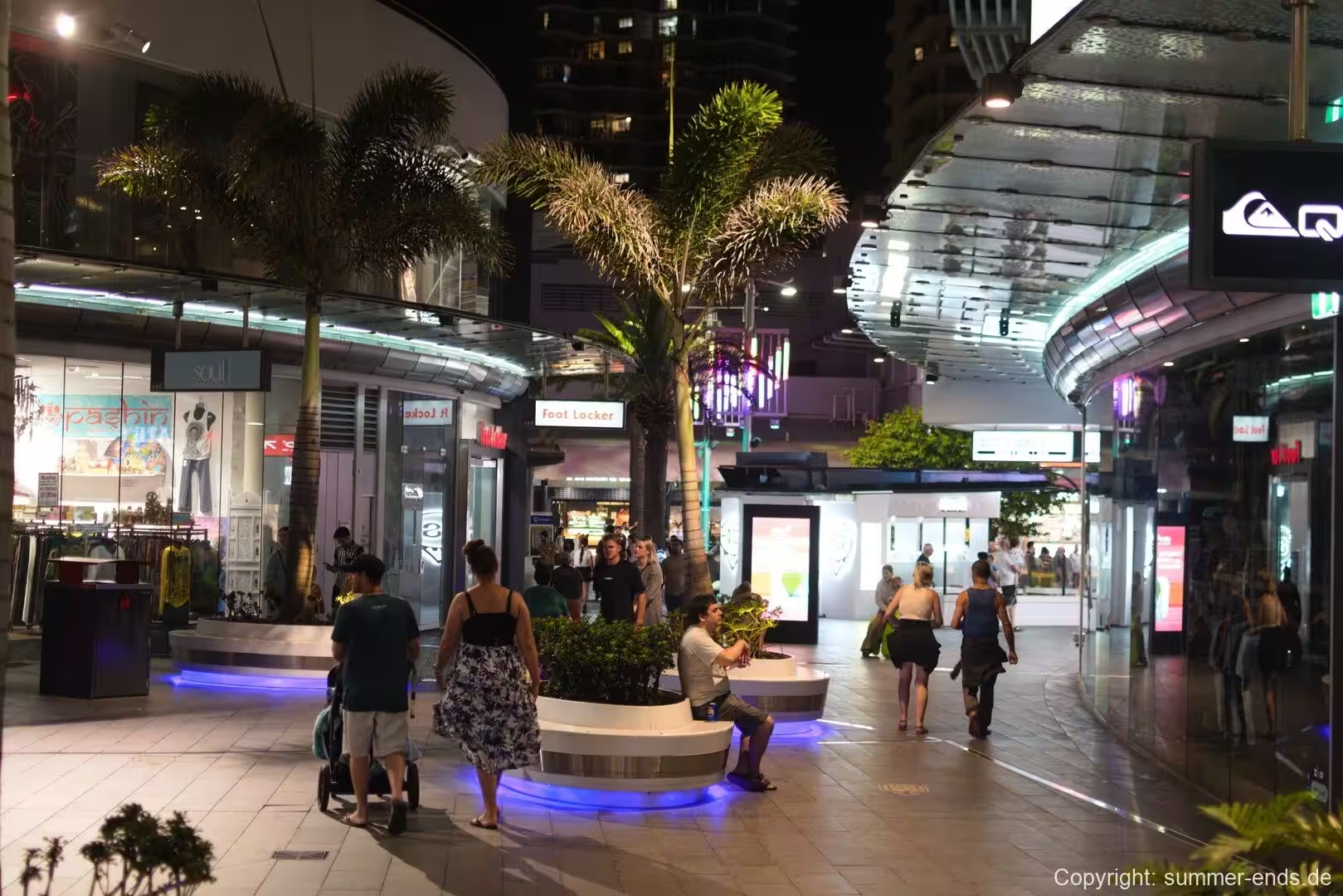
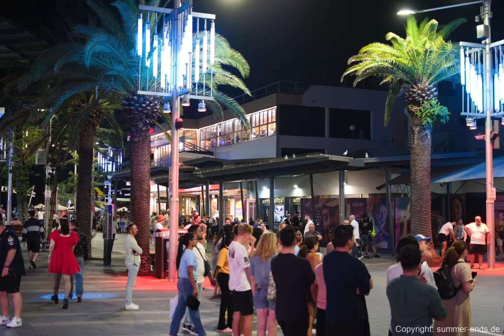
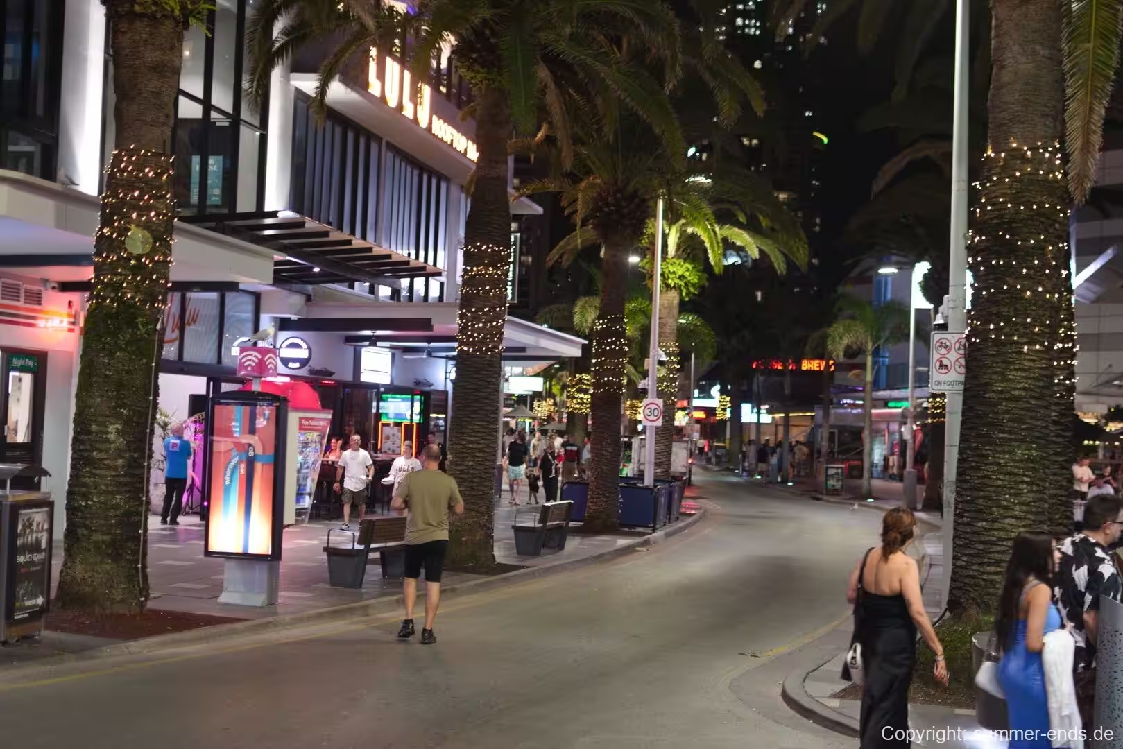
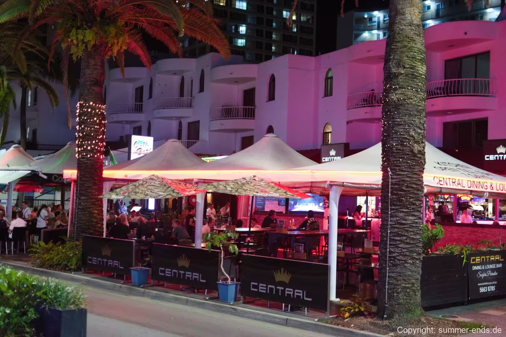
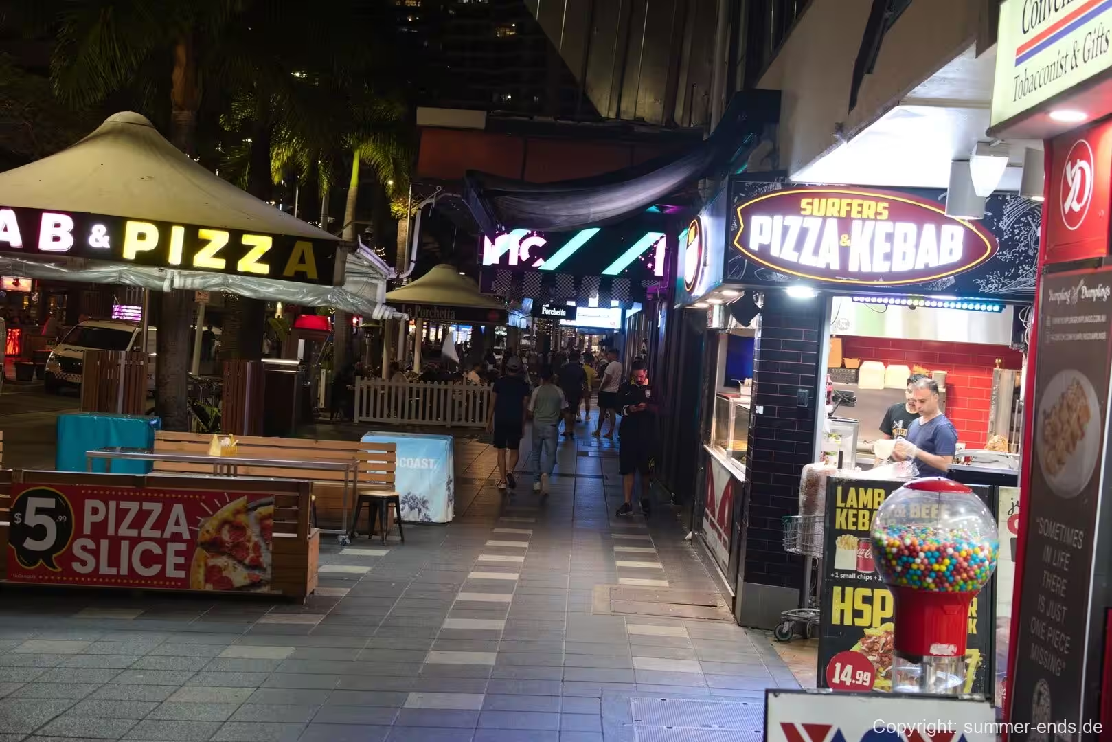
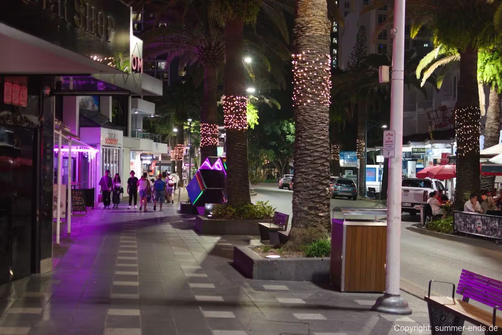
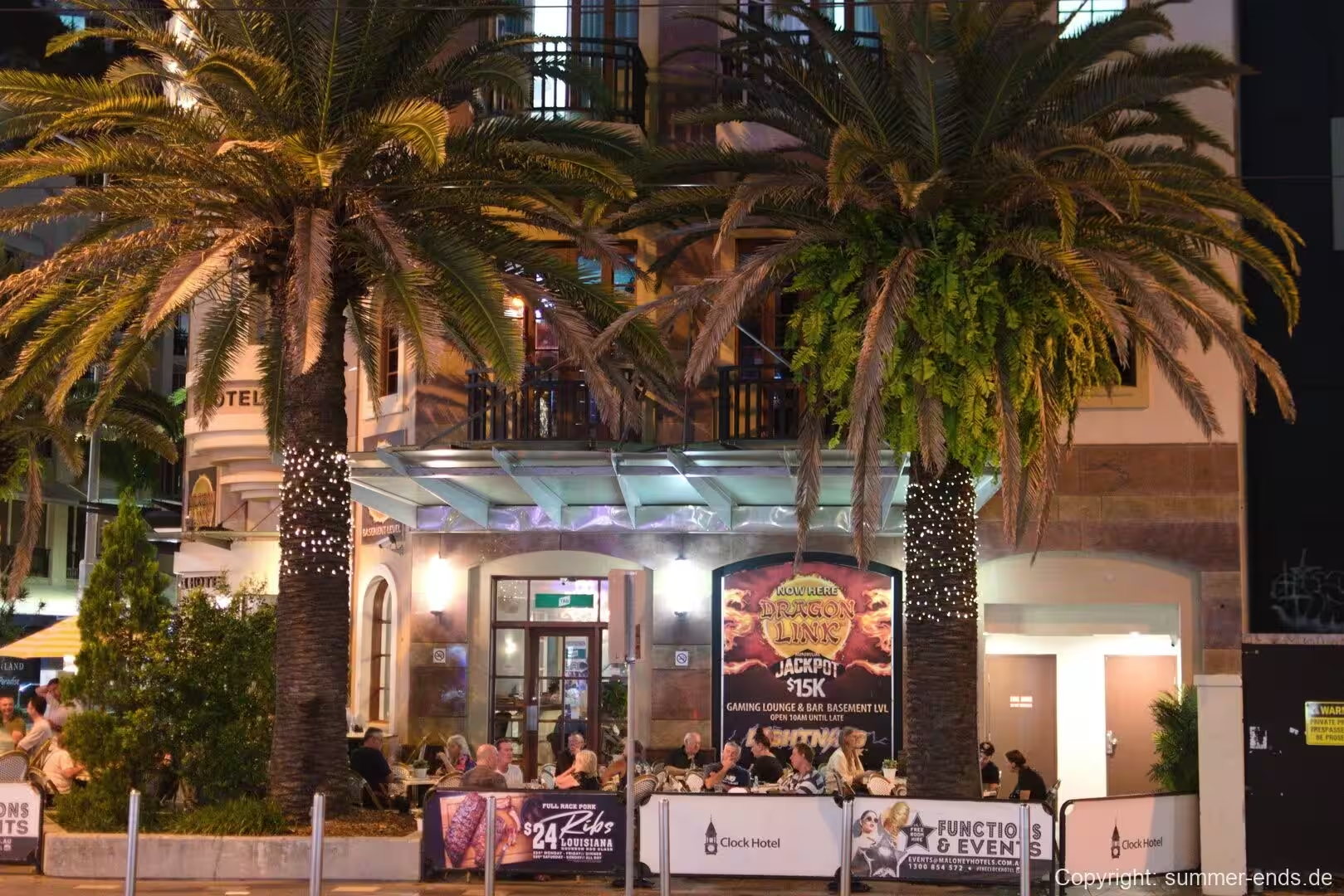
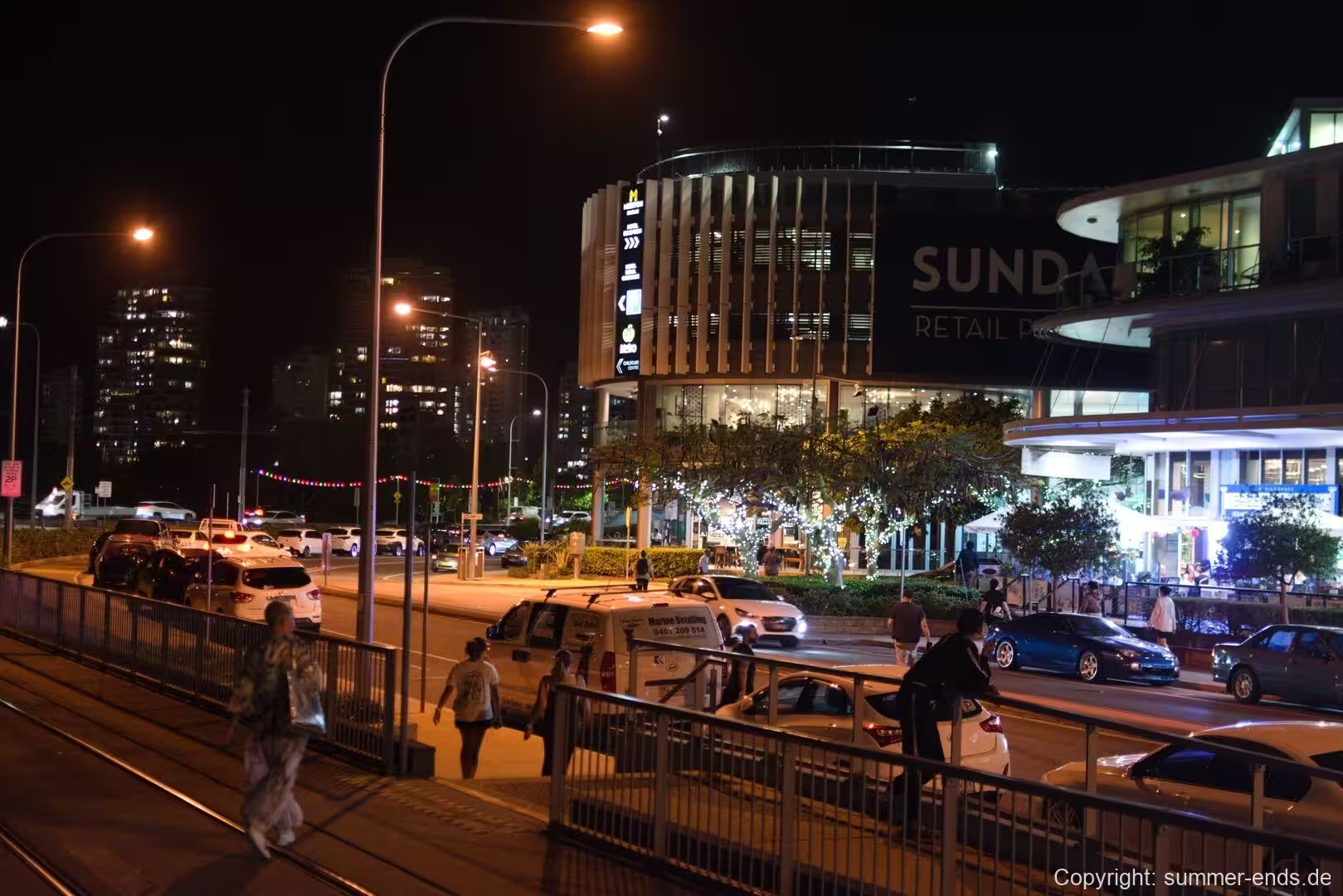
Surfers Paradise is the drawcard that gives the coastal strip its identity, and its seafront is the natural place to begin: a long, safe, patrolled beach of pale sand that ends at a dense wall of high-rise towers. It is the busiest stretch of sand on the coast and the centre of the nightlife district. Behind the beach, the Cavill Avenue precinct is one of the busiest shopping strips in Queensland, and in the evenings its neon-lit mall and side streets are alive with restaurants, bars and crowds, while the surf breaks offshore are picked out by floodlights long after dark.
The vertical signature of the district is the Q1 Tower, an abbreviation of Queensland Number One, which rises to 322.5 metres and was completed in 2005. It is the tallest building in Australia and the second tallest in the Southern Hemisphere, behind the Autograph Tower in Jakarta, and between 2005 and 2011 it was the tallest residential building in the world. The SkyPoint observation deck sits at 235 metres and commands sweeping views over the beaches, the waterways and the hinterland.
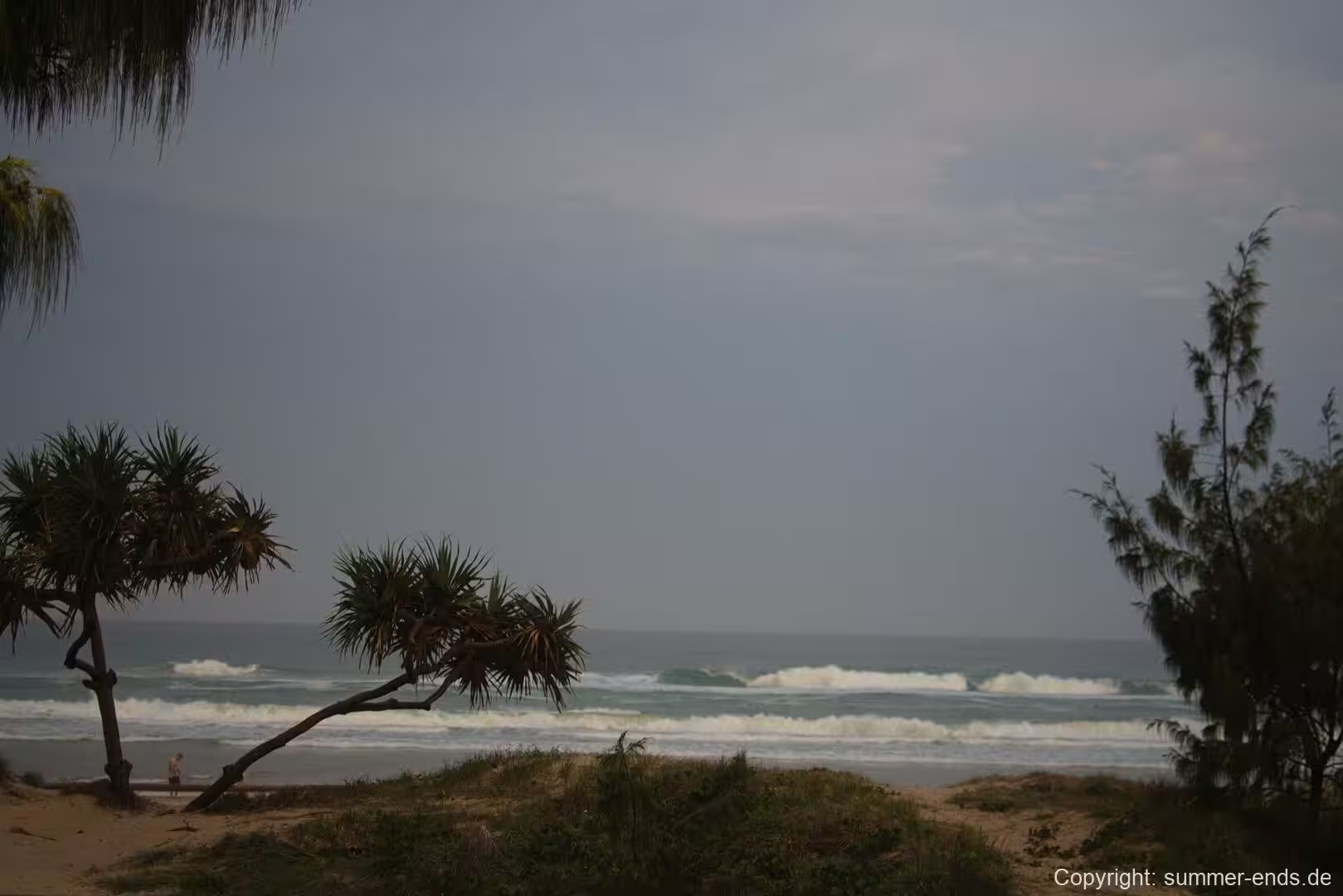
The beaches and their surf are the heart of the place. Almost 42 kilometres of unbroken beachfront run north from Coolangatta, and celebrated breaks such as Surfers Paradise, Broadbeach, Burleigh Heads, Kirra and Snapper Rocks draw surfers all year round; Duranbah, near the border, counts as one of the best-known surf beaches in the world. A professional surf lifesaving service patrols the shore, and the Surfers Paradise Meter Maids, a local institution devoted to goodwill among tourists, hand out coins for the parking meters along the foreshore. Behind the sand the beachfront widens into landscaped parks and a continuous coastal path that runs south along the surf, a route popular with walkers and cyclists.
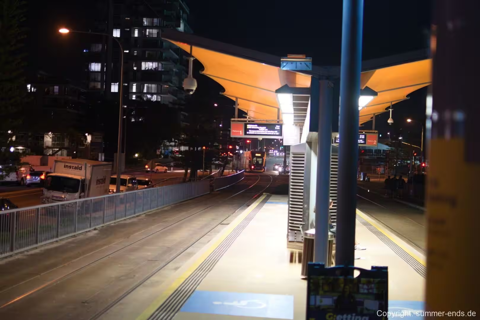
Away from the sand the city is a web of waterways. The man-made canals and tidal inlets that thread the lowland hold marinas, moored boats and waterfront homes, and the Broadwater at Southport together with the calm lagoons of the Spit and Main Beach offer boating and fishing. The strip is also served by the G:link light rail, opened in 2014 between Broadbeach and Southport and extended to Helensvale in 2017, which links the main centres with the suburbs and the wider rail network.
South of the tourist strip, Currumbin Creek marks a quieter stretch of beach and estuary, and the Currumbin Wildlife Sanctuary beside it is a long-established refuge with the country’s best known collections of koalas and lorikeets. Burleigh Hill, the headland that separates Burleigh from the beachfront walk eastwards, carries a walking track through Burleigh Head National Park and gives a fine vantage over the shoreline. The city also sustains a growing cultural quarter, with the Home of the Arts on the Nerang at Surfers Paradise hosting theatre, gallery and live music, and open-air markets and promenades running along the broadwalk nearby.
Further afield, theme parks such as Dreamworld, Sea World, Warner Bros. Movie World and Wet’n’Wild Water World cluster in the north of the city, and the hinterland is a short drive inland, where Springbrook and Lamington National Park offer lookouts, walking trails and World Heritage rainforest. In October the city stages the Gold Coast 500, a Supercars championship round on the Surfers Paradise street circuit, which turns the roads and the foreshore into a motor-racing festival.
References
- CSIRO Publishing 2015. Gold Coast Transformed: From Wilderness to Urban Ecosystems. Melbourne: CSIRO Publishing. doi.org/10.1071/9781486303304
- City of Gold Coast. Official website. www.goldcoast.qld.gov.au/
- Destination Gold Coast. Official tourism site. www.destinationgoldcoast.com/
- We Are Gold Coast. Regional tourism publication. www.wearegoldcoast.com.au/
- Q1 (SkyPoint). Official website. www.q1.com.au/
- UNESCO World Heritage Centre. Gondwana Rainforests of Australia. whc.unesco.org/en/list/368
- Wikipedia. Gold Coast, Queensland. en.wikipedia.org/wiki/Gold_Coast,_Queensland
- Wikipedia. City of Gold Coast. en.wikipedia.org/wiki/City_of_Gold_Coast
- Wikipedia. Surfers Paradise, Queensland. en.wikipedia.org/wiki/Surfers_Paradise,_Queensland
- Wikipedia. Q1 (building). en.wikipedia.org/wiki/Q1_(building)
- Wikipedia. Gold Coast hinterland. en.wikipedia.org/wiki/Gold_Coast_hinterland
- Wikipedia. Tweed Volcano. en.wikipedia.org/wiki/Tweed_Volcano
- Wikipedia. History of the Gold Coast, Queensland. en.wikipedia.org/wiki/History_of_the_Gold_Coast,_Queensland
- Wikipedia. Lamington National Park. en.wikipedia.org/wiki/Lamington_National_Park
- Wikipedia. G:link. en.wikipedia.org/wiki/G:link
- Wikipedia. Mount Warning. en.wikipedia.org/wiki/Mount_Warning
- Wikipedia. Springbrook National Park. en.wikipedia.org/wiki/Springbrook_National_Park
- Wikipedia. Burleigh Heads, Queensland. en.wikipedia.org/wiki/Burleigh_Heads,_Queensland