2024 Australia - October - Bundeena





Journal Notes
General
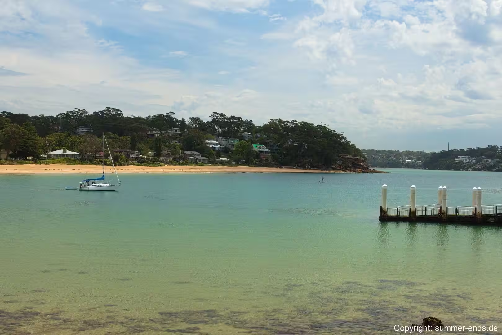
Bundeena is a small beachside village and suburb on the outskirts of southern Sydney, in the state of New South Wales. It sits roughly 29 kilometres south of the Sydney central business district, within the local government area of the Sutherland Shire, and lies on the southern side of the Port Hacking estuary, directly opposite the suburbs of Cronulla and Burraneer on the far shore. The settlement is almost entirely enclosed by the Royal National Park, which forms its northern boundary along the water and wraps around its landward sides, so that the bush meets the bay within a few streets of the village centre.
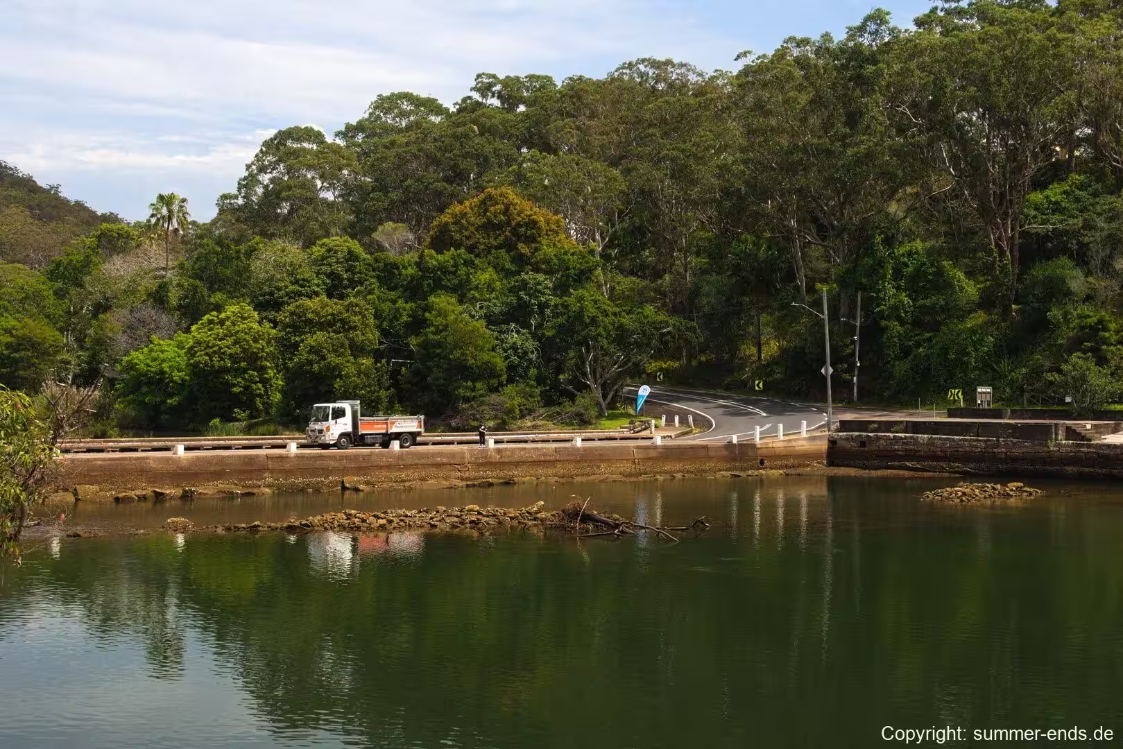
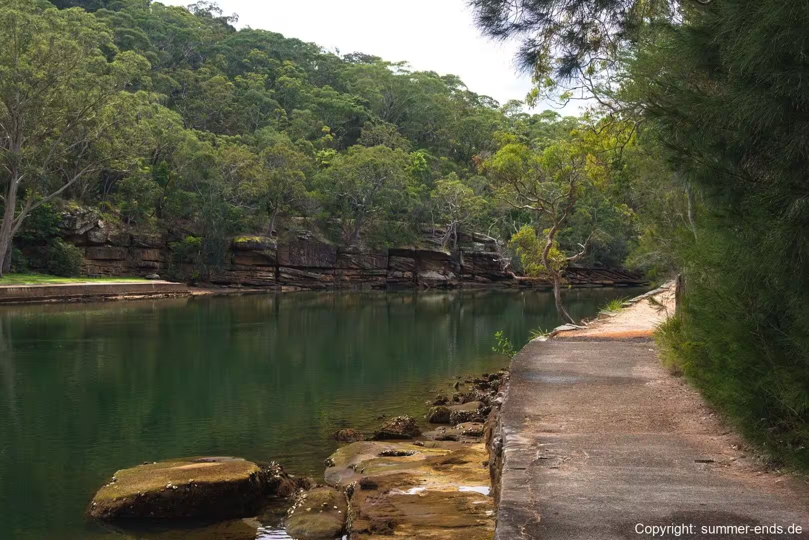
The village is reached in two quite different ways. The more memorable is the passenger ferry that crosses Port Hacking from Cronulla, a service operated by Cronulla and National Park Ferry Cruises and often made aboard the MV Curranulla, described as the oldest operating commuter ferry in Australia. The crossing takes about 20 to 30 minutes, depending on the weather, and lands at the wharf in the heart of the village. Bundeena can also be reached by road, by driving south through the Royal National Park from Sutherland or Waterfall. The approach crosses a low causeway that carries the road over the edge of the estuary and then follows the water into the settlement, passing from the quiet bush into the first houses. This pairing of a short sea crossing and a winding bush road gives Bundeena the character of both a harbour-side suburb and an outpost of the national park, and much of the village’s daily rhythm still follows the ferry timetable.
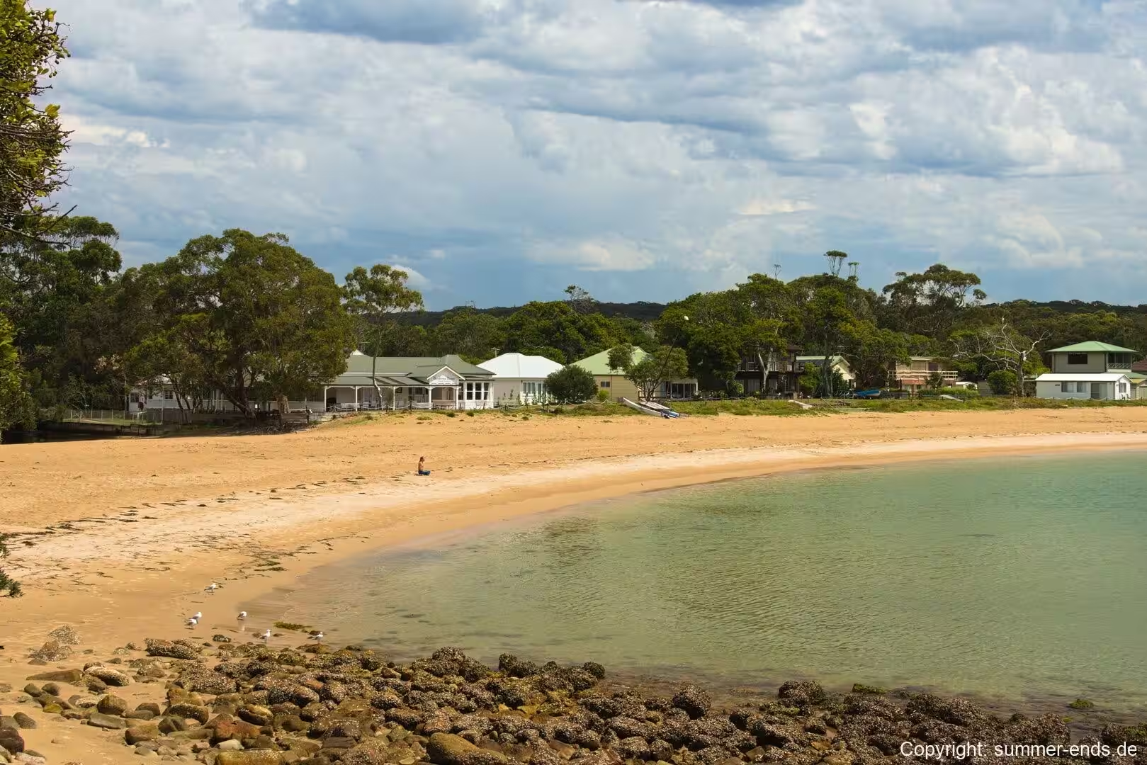
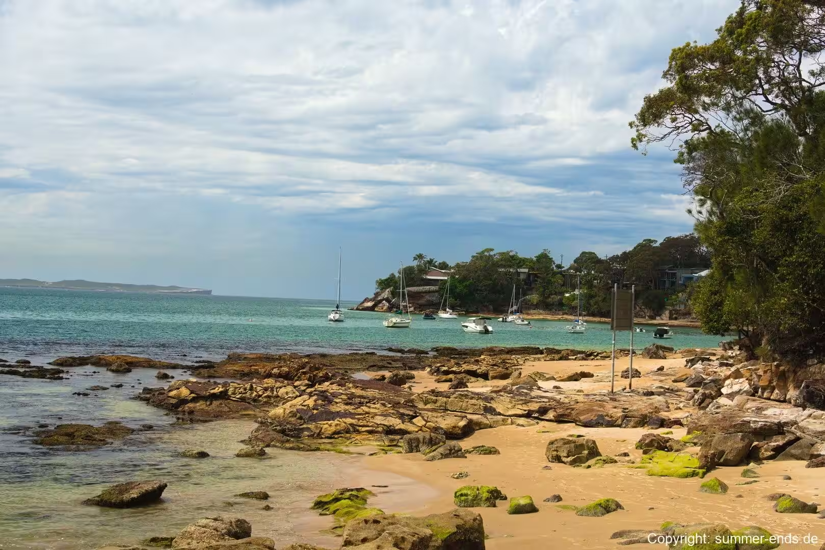
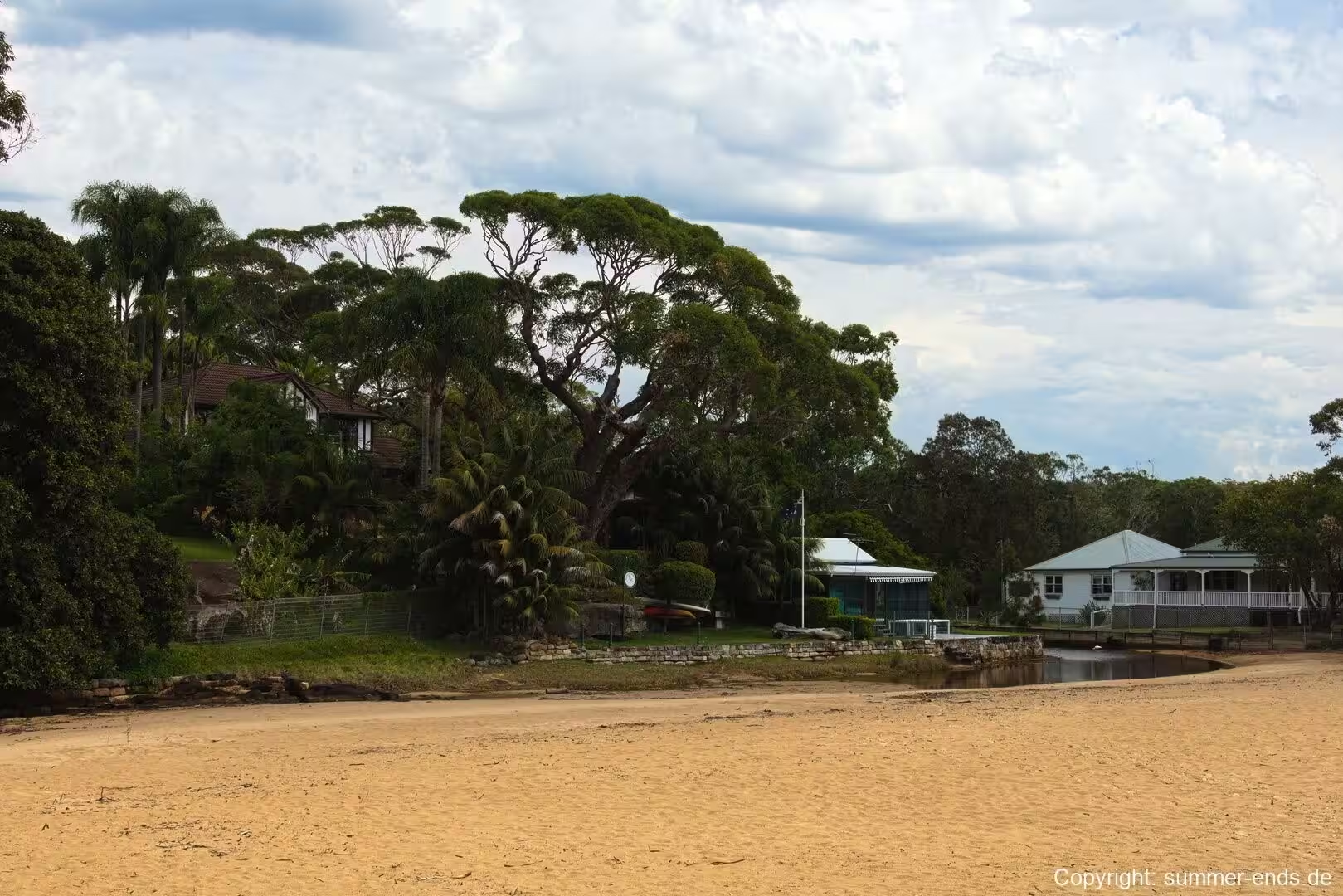
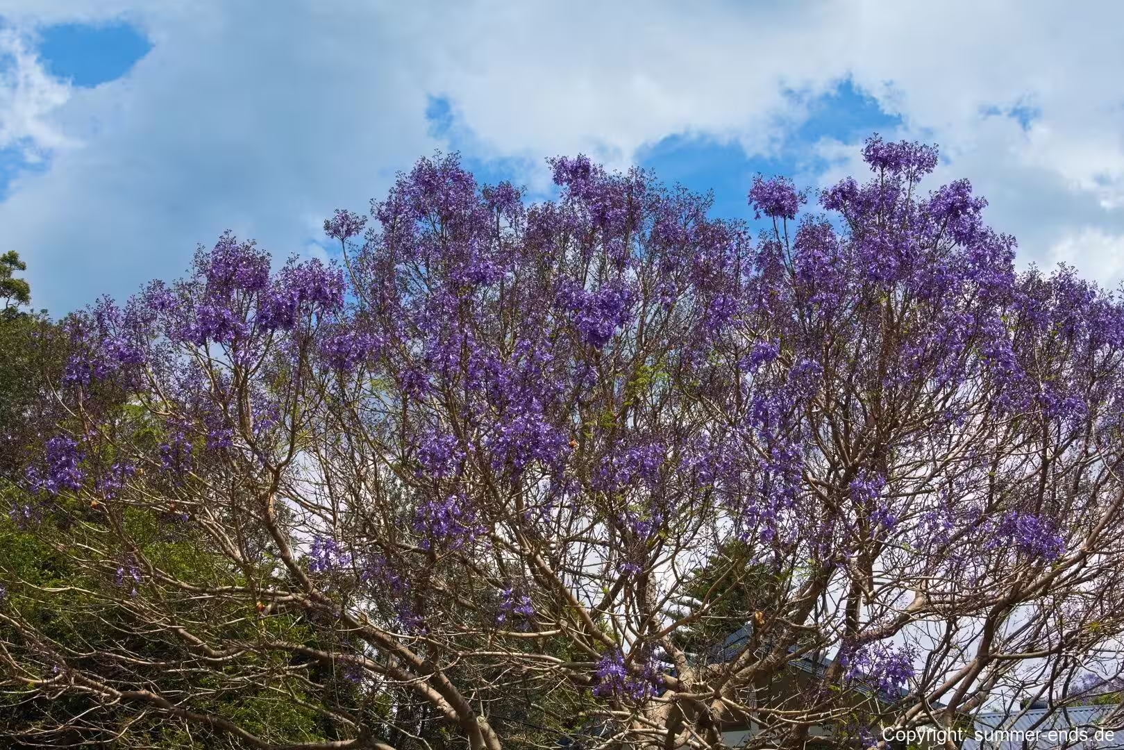
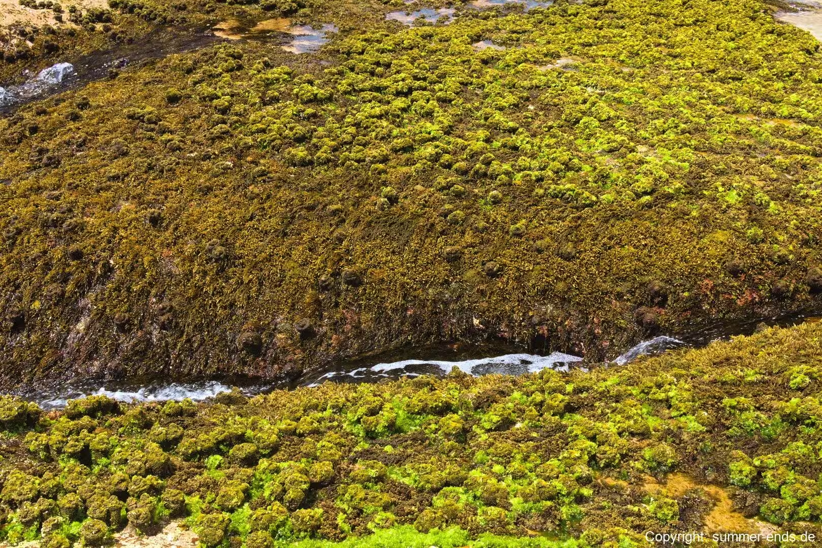
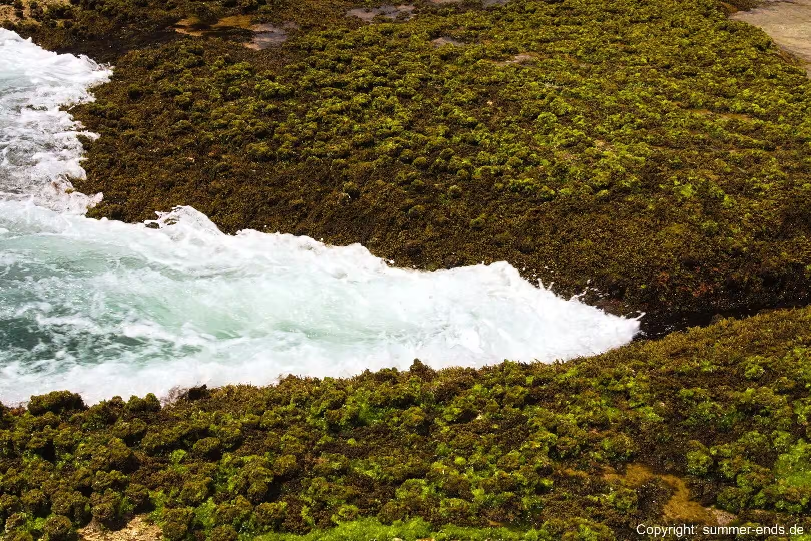
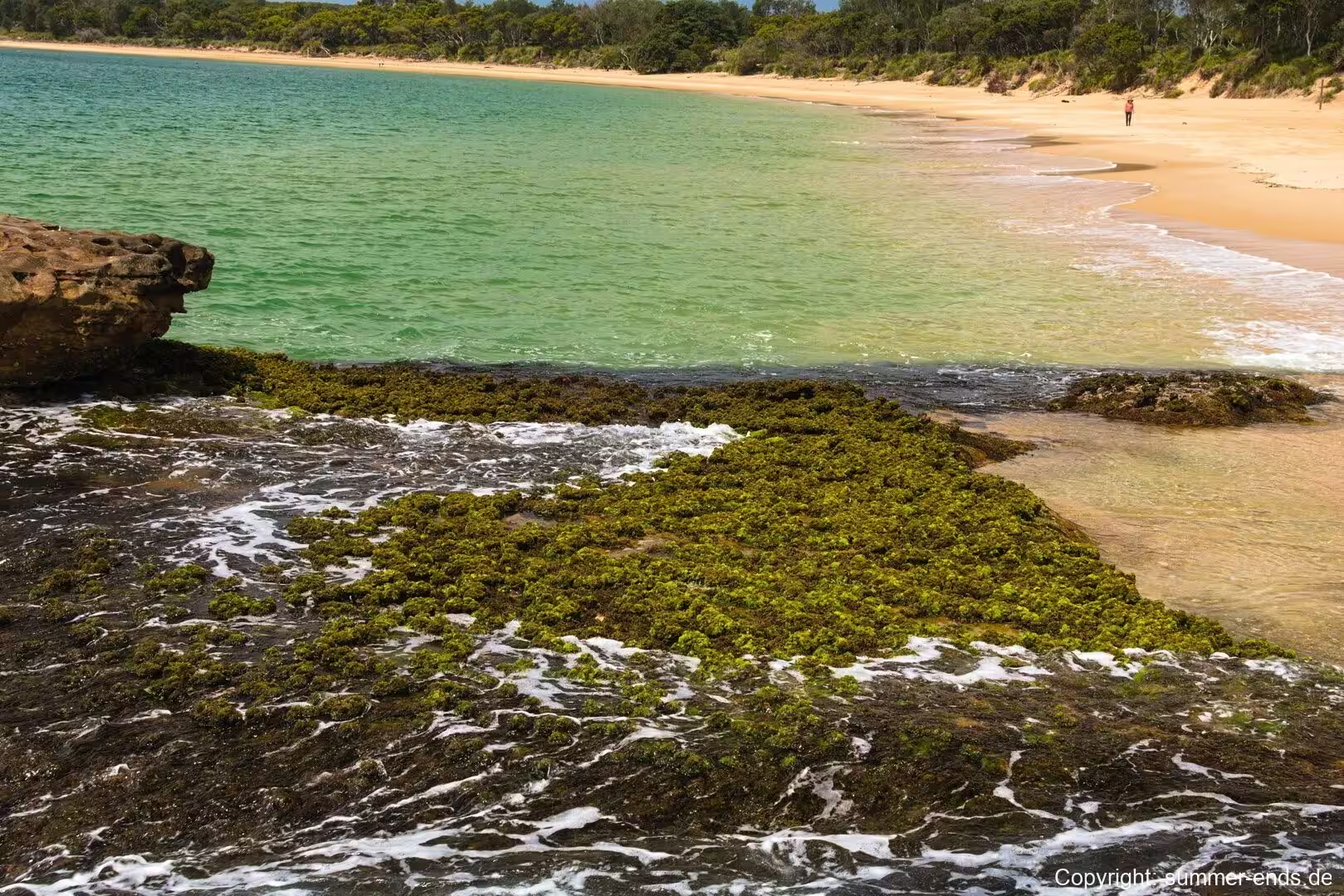
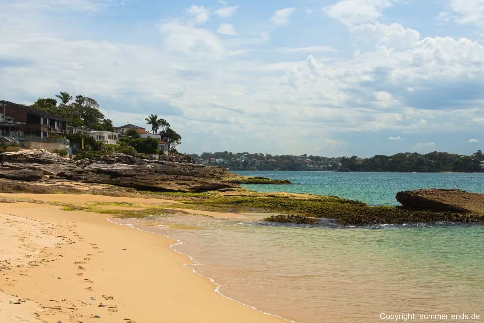
The village itself is compact and hugs the foreshore. Houses spread back from the bay into the surrounding coastal forest, so that bungalows and gardens sit within sound of the surf and the bush at once. A bush track and footbridge link Bundeena to its smaller neighbour, Maianbar, to the north across Cabbage Tree Creek and the sheltered stretch of water known as The Basin. Along the shoreline the sand is a warm, golden colour, and the well-protected water of the bay is dotted with sailboats moored among the moored yachts and small craft. In spring, jacarandas and flowering gums colour the streets, while the headlands are covered in hardy coastal heath that fills with wildflowers.
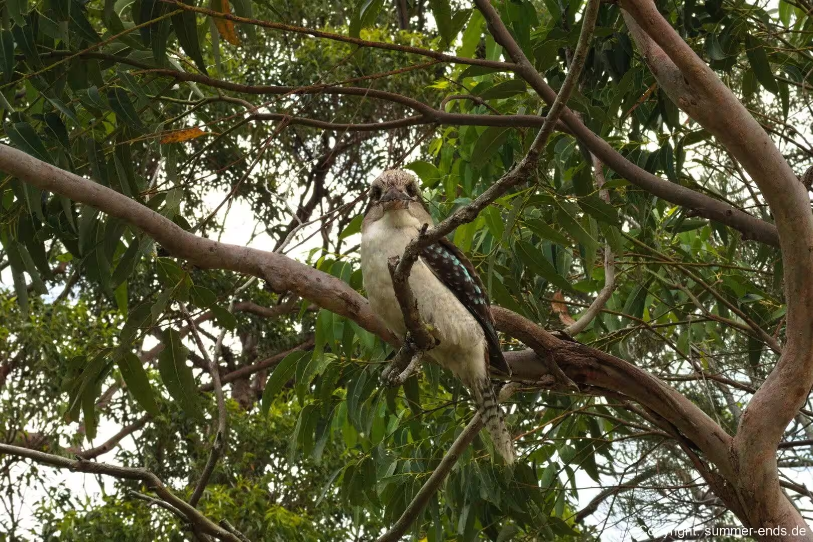
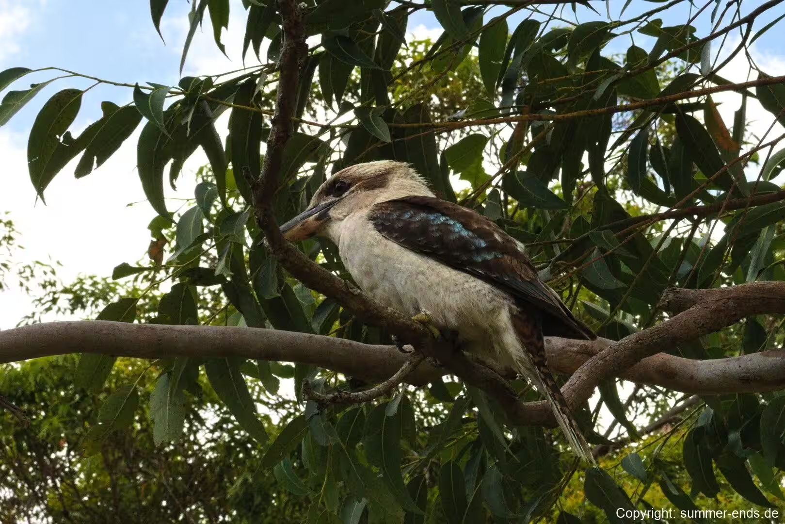
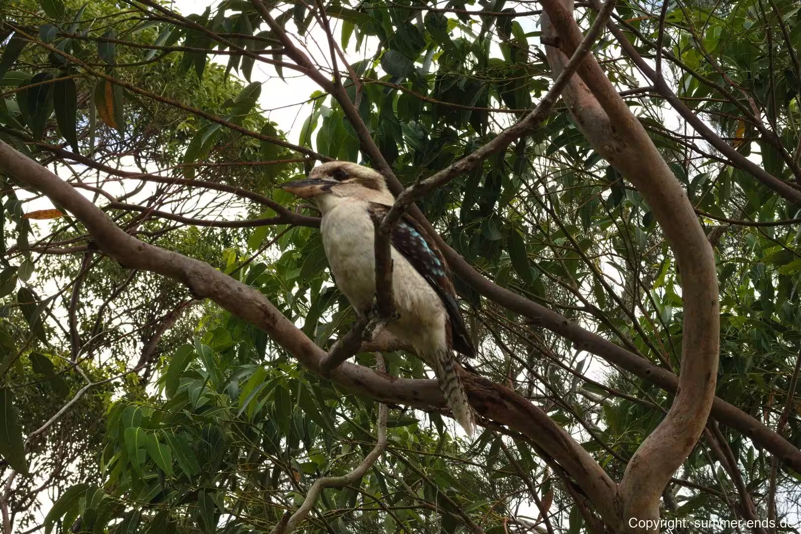
The birds of the area are often the first thing visitors notice. Laughing kookaburras are heard in the trees around the village and the campgrounds, and the bush is alive with honeyeaters and smaller heath birds, many of which have largely vanished from the more built-up parts of Sydney. The rusa deer that were introduced during early colonial settlement have also become a familiar, if divisive, presence, and the village is home to a mix of residents, weekenders and visitors from the ferries. Because Bundeena is small and surrounded by protected bushland, its character is defined more by the bay and the park than by the town itself, and the village remains a quiet pocket between the sandstone cliffs of the park and the calm water of the port.
History
Bundeena takes its name from an Aboriginal word that is understood to mean “noise like thunder”, a reference to the sound of waves breaking on Horderns Beach. The land around Port Hacking is part of the traditional country of the Dharawal people, who used the estuary for thousands of years as a source of food and a place of trade, and Aboriginal rock engravings made by the Dharawal can still be seen on the sandstone at Jibbon Head. The village therefore sits on land with a long Aboriginal history that long predates the European settlement of the region, and the coast around the port is rich in middens, carvings and other sites that record that past.
Europeans surveyed the area in 1796, when Matthew Flinders and George Bass explored Port Hacking and concluded that it was not a suitable place for a settlement; the estuary took its English name from Henry Hacking, the colonial game hunter who had told the explorers of a river he had seen inland. The first authorised white settler on the site was Owen Byrne, who received a land grant in 1832. George Simpson was granted land at the adjacent Bonnie Vale in 1863, and his son William opened Simpson’s Hotel in the 1870s in the area now known as Simpsons Bay. The sandstone Simpson’s House, built in the same decade, still stands at what is now the Bonnie Vale Campground. A wharf was completed in 1890, a launch service across the water ran from 1908, and Captain R. R. Ryall began the regular Cronulla to Bundeena ferry service in 1915. Bundeena Public School opened in September 1948, with classes held first in the local hall.
The most significant event in the area’s wider story came on 26 April 1879, when the Royal National Park was formally proclaimed, founded by Sir John Robertson, the Acting Premier of New South Wales. It was the first national park declared in Australia and is widely regarded as the second oldest in the world, having been established just seven years after Yellowstone National Park in the United States and eleven years before Yosemite. Originally named simply National Park, it was renamed in 1955 after Queen Elizabeth II, and it was added to the Australian National Heritage List in December 2006. Today the park includes the settlements of Bundeena and Maianbar within its boundaries, which is why the village sits inside a protected landscape rather than a purely urban one, and why its access by car has long been subject to the park’s own rules and gates.
The village has also long been a home to artists, with residents over the years including Garry Shead, George Gittoes and Shen Jiawei, drawn by the light, the water and the relative seclusion. That mix of deep Aboriginal history, a nineteenth-century ferry settlement and a more recent artistic community gives Bundeena a heritage that is both long and layered, and the village has grown slowly without losing its small scale.
Geology
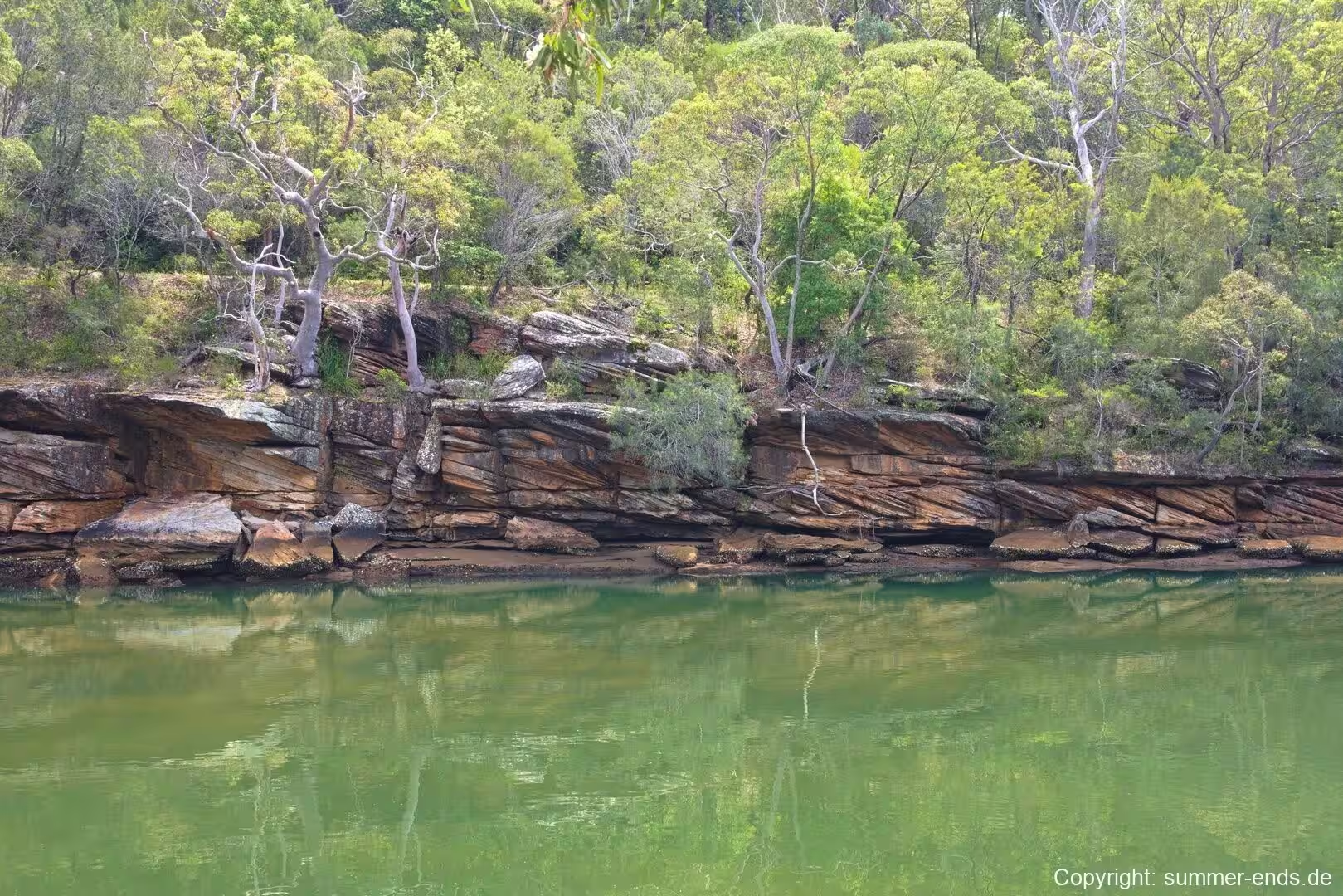
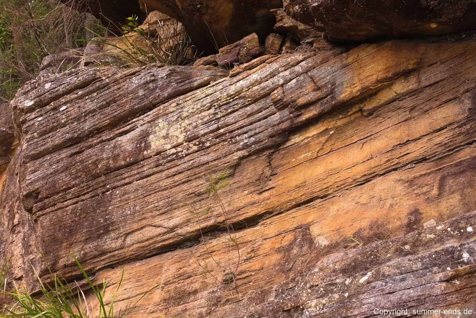
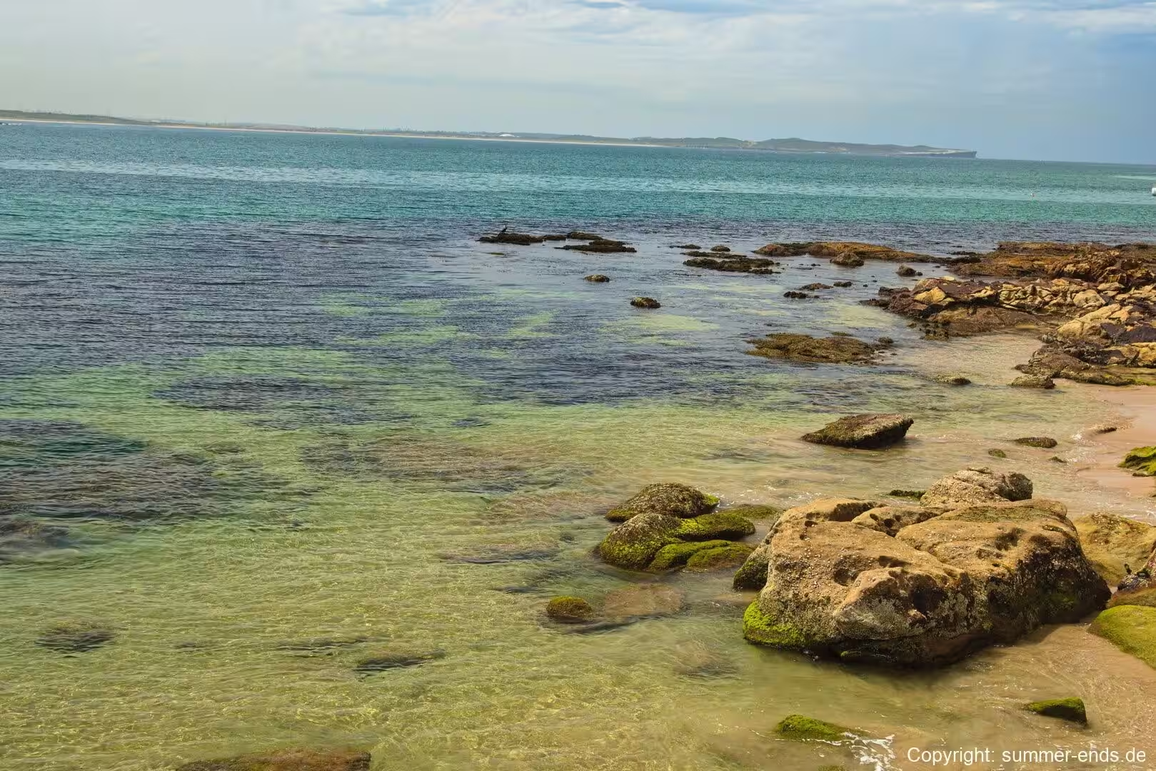
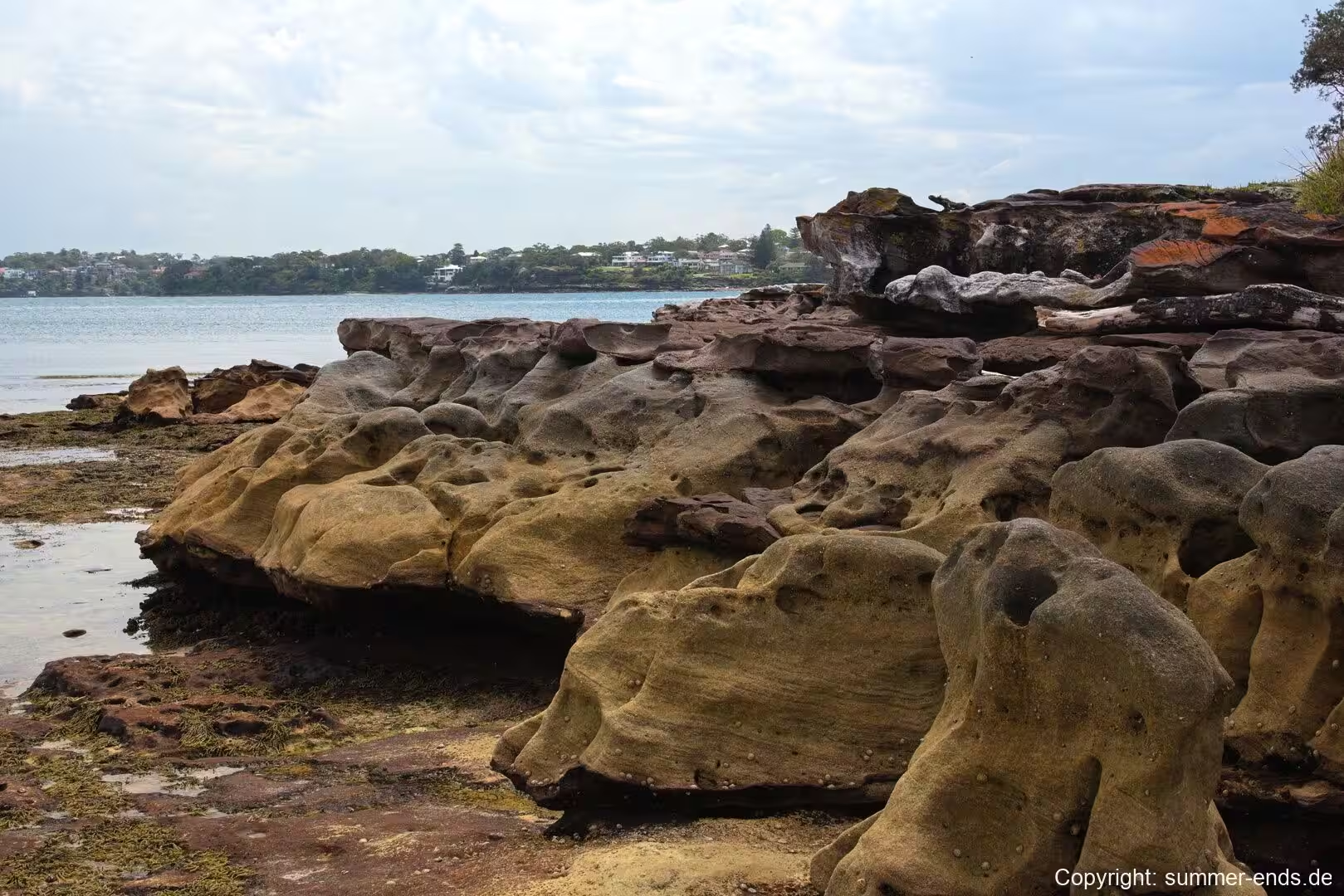
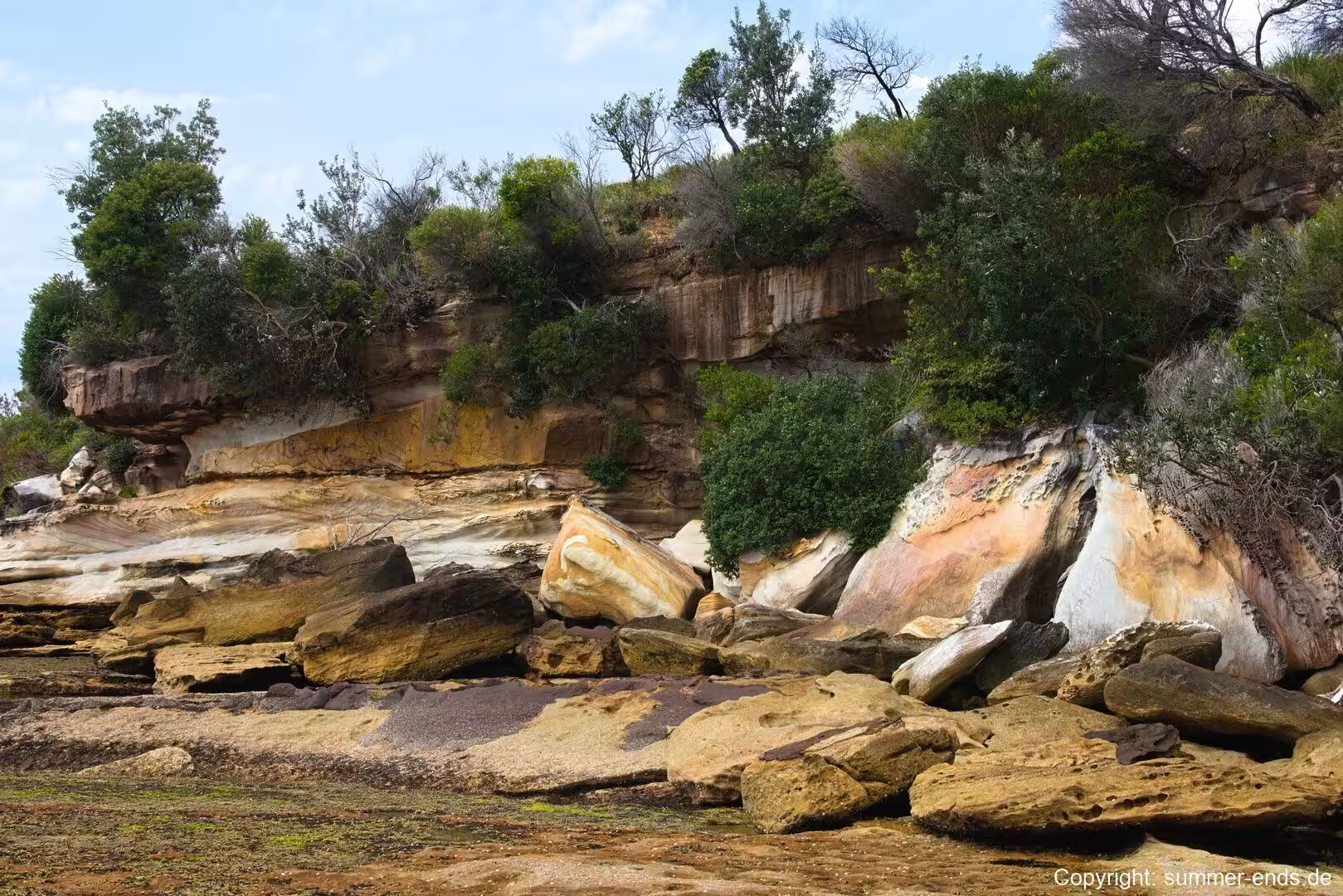
The cliffs and headlands that frame Bundeena are the product of the sedimentary rocks of the Sydney Basin. Much of the rock exposed along this coast is the Hawkesbury Sandstone, a sheet sandstone laid down during the Triassic period, roughly 200 million years ago, most probably by a vast braided river system that has been compared in scale and character to the modern Brahmaputra River. The stone is made of very pure silica grains bound in a clay matrix, is porous, and oxidises to the warm yellow-brown colour that is so familiar in the cliffs around the bay. Its bedding shows clear, distinct layers, and the ripple marks left by the ancient river are still visible in places, recording the direction of the water that carried the sand.
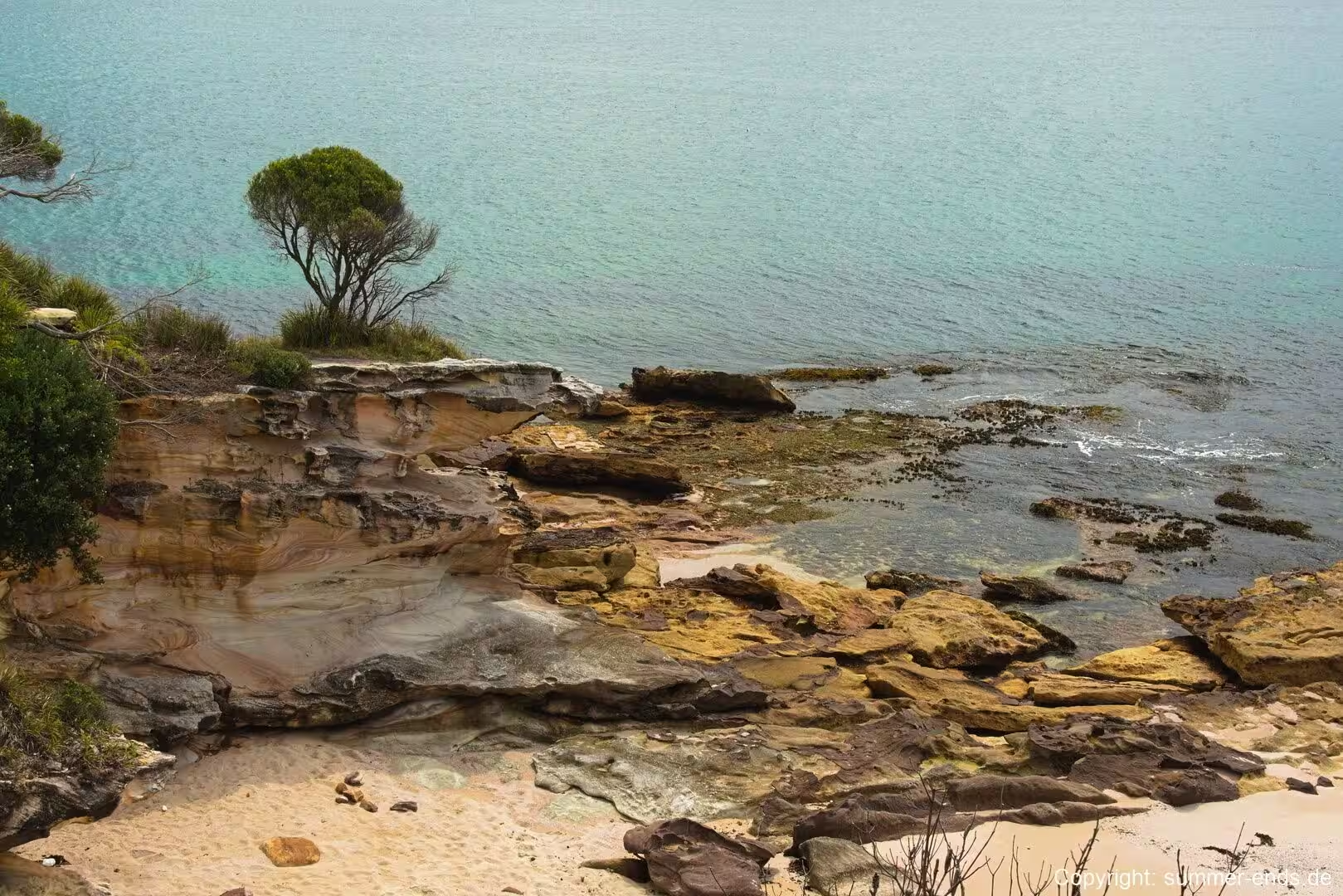
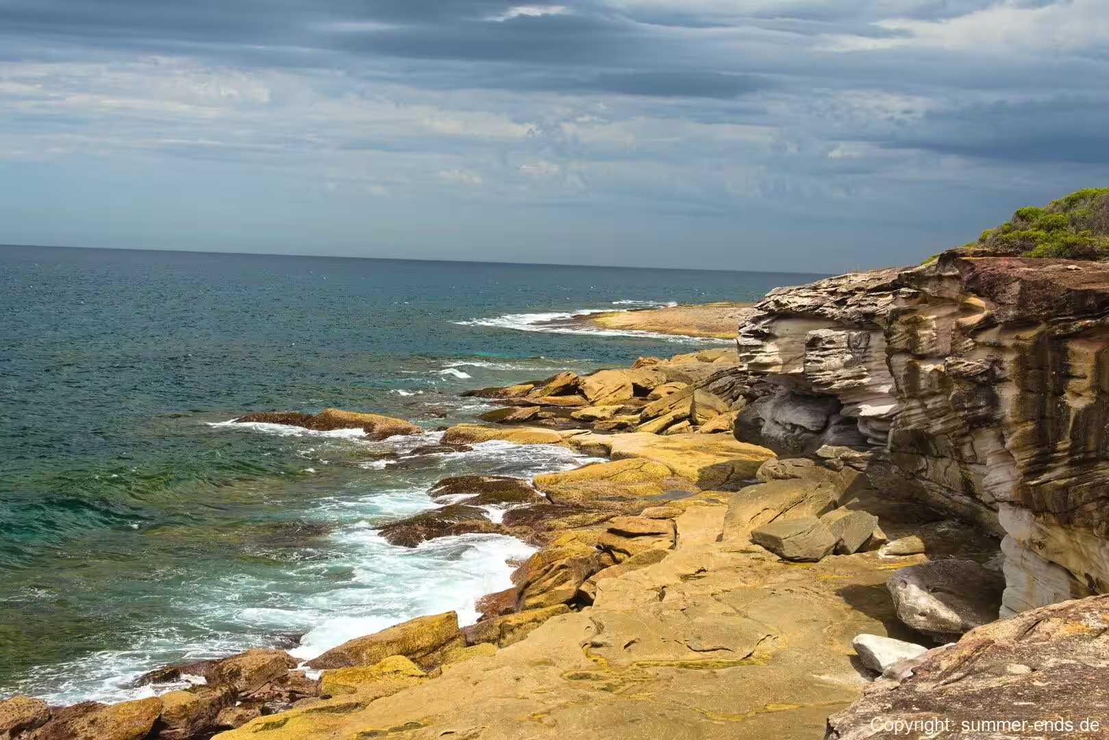
At the cliff face the sandstone frequently appears as roughly horizontal bands of differing tone and grain, a pattern that gives the rock a striated appearance. These banded layers are the cross beds and channel fills left by the shifting braids of the river, and weathering along the weaker seams helps shape the stepped profiles of the headlands. Harder lenses and iron-rich bands resist erosion more strongly, which is why the coast is marked by so many small ledges, caves and platforms where the softer rock has been worn away. In places the heath grows right to the rim of these cliffs, and the rock beneath carries the signs of the plant roots and the dry, coastal wind.
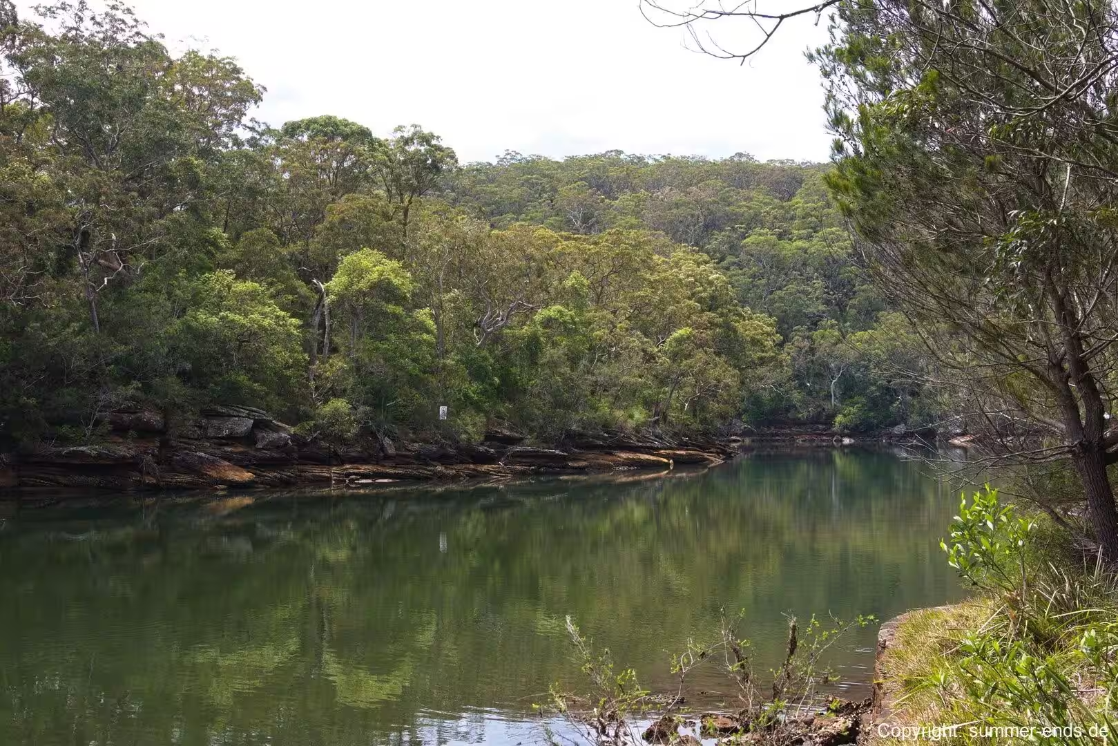
The whole landscape here is a drowned river valley. Port Hacking is an open, tide-dominated estuary that occupies the valley carved by the Hacking River and its tributaries, and it was flooded as sea level rose after the last glacial period. The sandstone walls of the valley, now partly submerged, are the reason the bay is so sheltered and the water so calm compared with the ocean beaches just a short walk to the east. The southern side of the estuary, where Bundeena sits, remains largely untouched, while the northern shore has been heavily urbanised, and this contrast is one of the defining features of the port.
Sandy coves and beaches sit in the gaps between the headlands, and behind some of them lie dune systems that are far older than they appear. The large dunes behind Marley Beach, for example, cover an area of more than 130,000 square metres and are remnants of a chain of beaches that existed along this coast around 7,000 years ago, when the sea stood at a different level. The sandstone is also the reason the Dharawal rock engravings have survived at Jibbon Head; the hard, slow-weathering stone retained the carvings that softer rock might have lost. Taken together, the geology explains much of what draws people here: the sheltered bays, the clean beaches and the dramatic platforms of banded rock.
Things to See
Bundeena sits at the northern end of the Royal National Park and is the starting point for many of its best-known sights. The beaches immediately around the village are Jibbon, Gunyah, Horderns and Bonnie Vale, and each has its own character. Jibbon Beach faces the sheltered water of the bay and is a calm spot by the headland, while Horderns Beach is the closest to the centre and the most popular for a swim. Bonnie Vale, at the western end, is also one of the few campgrounds within the park and looks out across the water. Beyond the village, a walk south leads to the larger and more exposed beach at Marley, which is the biggest in the area and is backed by sweeping dunes, though the surf there is strong and the beach is unpatrolled and not recommended for swimming.
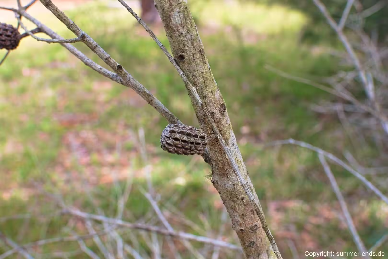
The headland at Jibbon rewards walkers with views back across the bay and with the Aboriginal rock engravings carved into the sandstone, a reminder of the long Aboriginal history of the area. In winter and spring, the lookouts along the cliff tops are good places to watch for whales migrating along the coast, a season that runs from around June to October. The coastal heath that covers the headlands is dense with low shrubs, banksias and, in season, wildflowers, and the banksias with their distinctive woody seed cones are common along the cliff paths, where honeyeaters gather to feed on their flowers.
The most famous walking route in the park is the Coast Track, sometimes called the Royal Coast Track, which runs for about 26 kilometres between Bundeena and Otford along the cliff line. It is a demanding walk, usually completed over two days, and it passes a string of hidden beaches and coves, including Marley, Wattamolla, Garie, Burning Palms and North Era, with lookouts, seasonal wildflowers and whale watching along the way. As the northern trailhead, Bundeena is where many walkers begin, and the village also offers shorter bush tracks that loop through the heath and down to the beaches, so that a visit of an afternoon still gives access to a genuine slice of the park.
On the water, the bay is popular for boat hire and kayaking, with local operators offering both guided tours and self-guided trips among the beaches of Bundeena and into the park. Sailboats are a common sight anchored in the shelter of the bay, and the calm water of the port makes it a gentle place to paddle, whether on a three-hour guided trip or a shorter self-guided outing. Back on land, the village is home to a small ferry wharf, a public school and the local oval, and the loop of quiet streets beneath the coastal forest has a relaxed pace that is part of the attraction. Laughing kookaburras in the trees, the tock of a boat hull against the slipway and the sound of the bush all make the village feel pleasantly out of place and out of time.
References
- en.wikipedia.org/wiki/Bundeena,_New_South_Wales
- en.wikipedia.org/wiki/Royal_National_Park
- en.wikipedia.org/wiki/Port_Hacking
- en.wikipedia.org/wiki/Sydney_sandstone
- en.wikipedia.org/wiki/Sydney_Basin
- en.wikipedia.org/wiki/Cronulla_and_National_Park_Ferry_Cruises
- en.wikipedia.org/wiki/Marley_Beach
- en.wikipedia.org/wiki/Banksia
- en.wikipedia.org/wiki/Kookaburra
- en.wikipedia.org/wiki/Geology_of_New_South_Wales
- www.nationalparks.nsw.gov.au/things-to-do/walking-tracks/the-coast-track
- www.nationalparks.nsw.gov.au/things-to-do/guided-tours/kayak-tours-bundeena-royal-national-park/learn-more
- www.sydney.com/destinations/sydney/sydney-south/bundeena
- www.visitbundeena.com.au/
- bundeenakayaks.com.au/royal-national-park/
- www.visitsutherlandshire.com.au/operators/cronulla-and-national-park-ferry-cruises/