2024 Australia - October - Binna Burra




Journal Notes
General
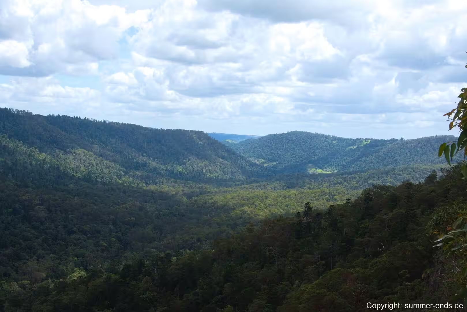
Binna Burra lies in the north-eastern corner of the Lamington Plateau in the McPherson Range of south-east Queensland, roughly 75 kilometres south of Brisbane in the hinterland of the Gold Coast. The district is a small parcel of private land and mountain lodge on Mount Roberts, ringed on almost every side by Lamington National Park, and it sits within the catchment of the upper Coomera River.
The name Binna Burra comes from the local Aboriginal language and means “where the beech tree grows”, a reference to the stands of Antarctic beech that survive in the rainforest close by. The settlement is set about 800 metres above sea level, so the air is noticeably cooler than on the coast below. The surrounding reserve, Lamington National Park, covers about 20,600 hectares and protects one of the largest remnants of upland sub-tropical rainforest in the world, along with the most northerly cool temperate rainforest of Antarctic beech in Australia.
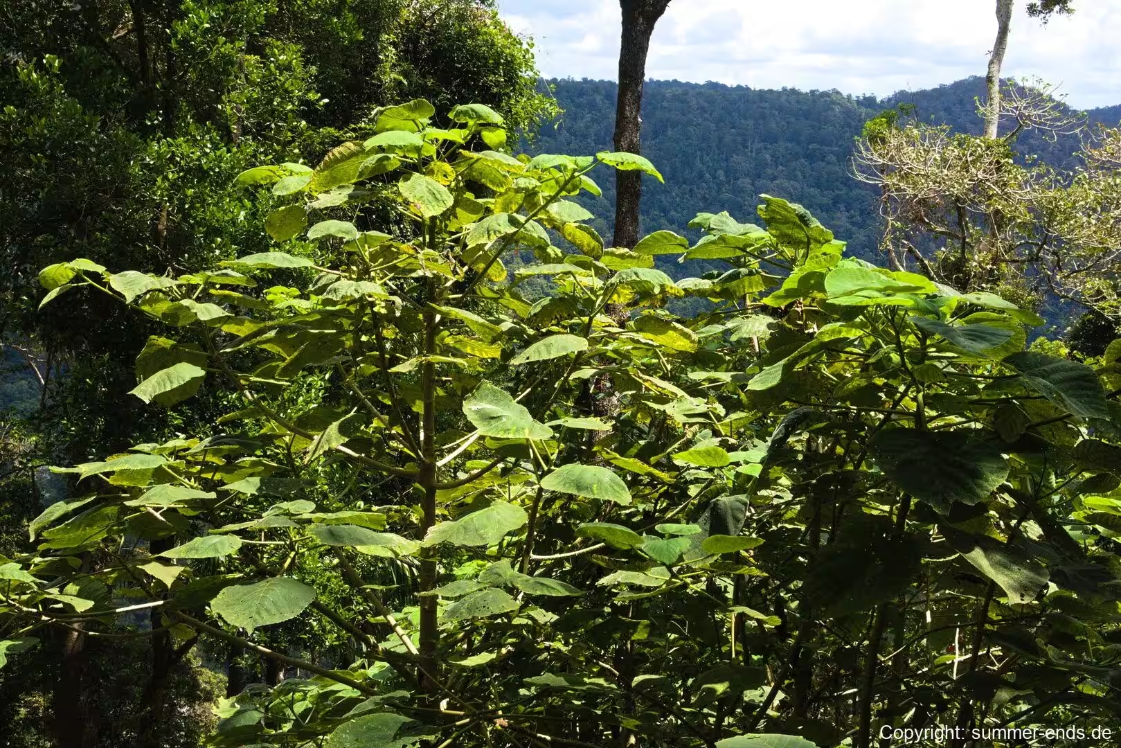
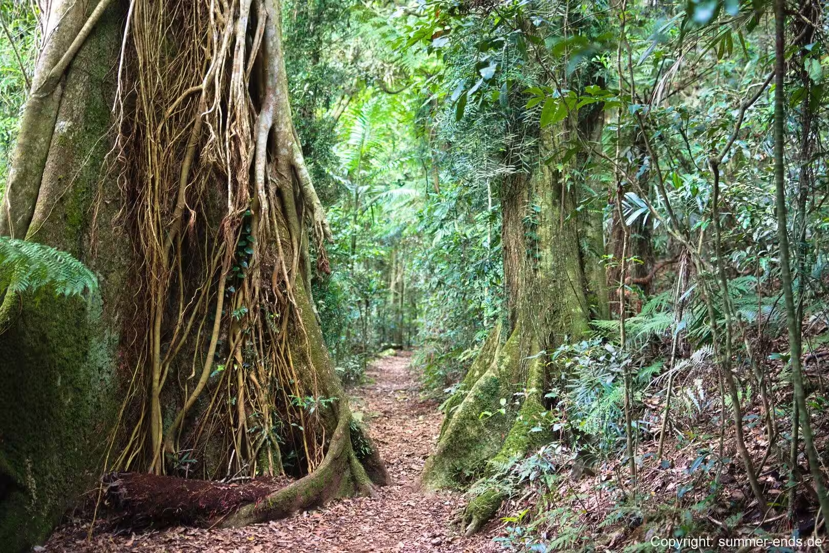
The vegetation around Binna Burra changes with altitude and aspect. Below about 880 metres, stands of white booyong and black booyong are common in the richer gullies. Higher up, yellow carabeen, red carabeen, pigeonberry ash, rosewood and soft corkwood take over, and the canopy is threaded with vines, plank buttresses and epiphytes. On the coolest ridgelines the forest turns to Antarctic beech, the northernmost occurrence of Nothofagus moorei in Australia and one of the last living remnants of the forests that once spanned the ancient southern supercontinent.
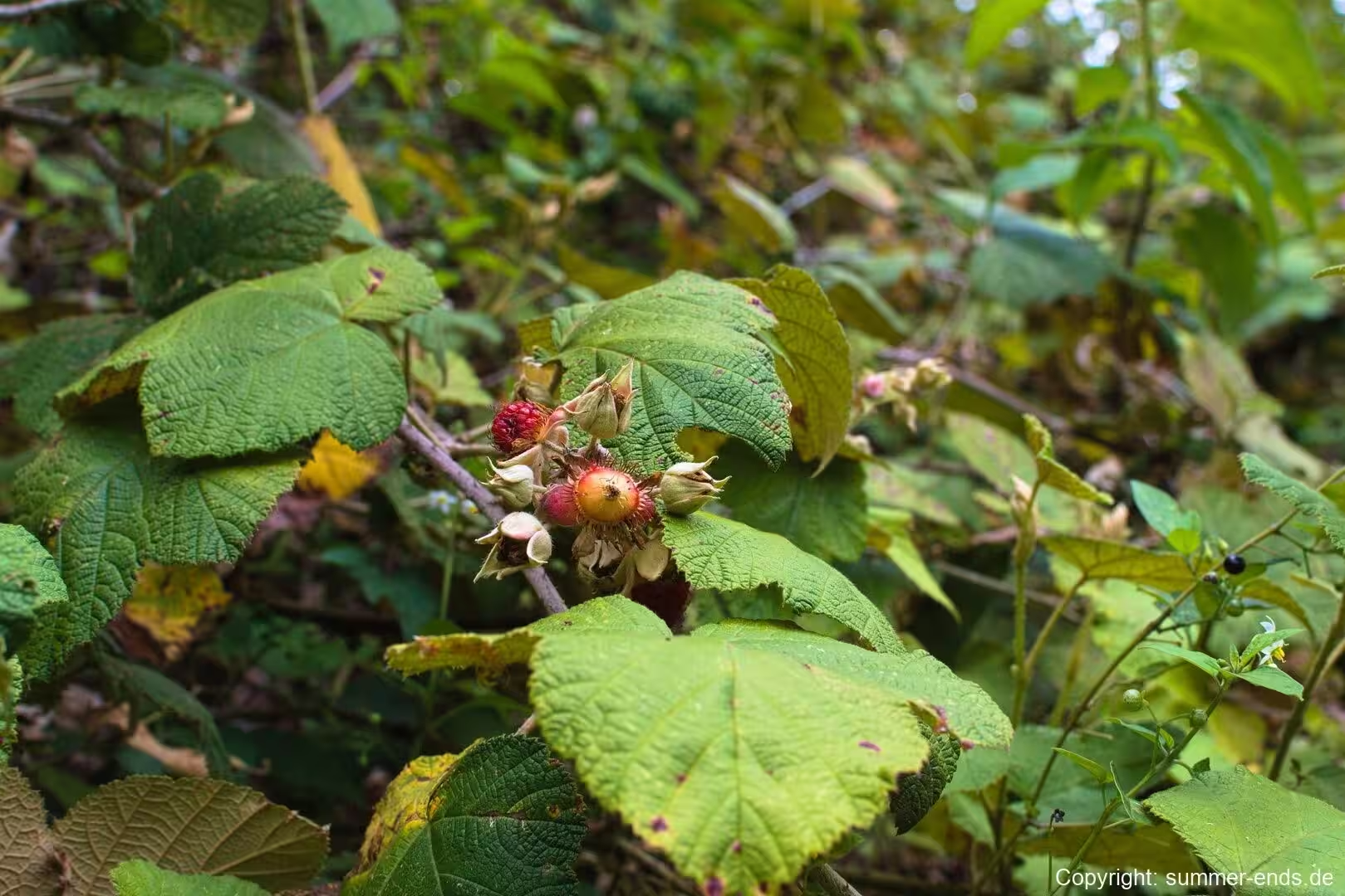
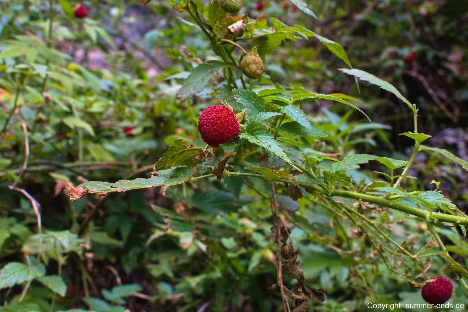
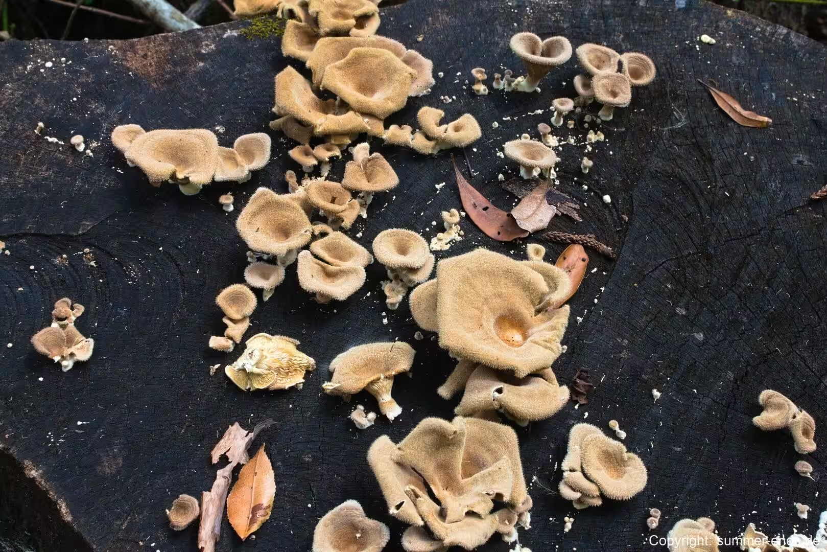
Along the tracks the forest floor is rich with fungi. Bracket fungi grow on the trunks of ageing trees, and in the wetter months red berries colour the understorey where native lilies and vine species fruit. Ferns and mosses clothe the shaded banks, and the leaf litter is broken down by a host of fungi and invertebrates that keep the rainforest in slow, steady motion. The area is also celebrated for its wildlife, with more than two hundred species of birds recorded, including the Albert’s lyrebird, whose rich song is heard where the forest is quietest.
Because of this richness, the district was inscribed as part of the Gondwana Rainforests of Australia World Heritage Area, a serial property running across the border into New South Wales and recognised for the way it shows the evolution of plant families tied to the ancient southern world. Binna Burra serves as one of the principal gateways to this landscape, the northern trailhead for the range of walks that fan out across the plateau.
History
Aboriginal people have lived in and visited these mountains for thousands of years. The Wangerriburra and Nerangballum peoples claimed territory across the plateau, and the long cavity of Bushrangers Cave near Mount Hobwee preserves evidence of occupation going back many thousands of years. The plateau is one of several places in the region where the country was used and cared for long before the arrival of Europeans.
The first European explorers reached the area in the 1820s and 1830s, among them Patrick Logan and Allan Cunningham. Timber cutters followed, including the Lahey family, who owned one of the largest timber mills in Queensland. The need to protect the forests from logging was raised late in the nineteenth century, most notably by Robert Collins, who campaigned hard before entering parliament, though the protection of the McPherson Range did not come until after his death.
It fell to the forester and businessman Romeo Lahey to carry the campaign through. Recognising the value of the forests, he pressed for the area to be protected, and in 1915 Lamington National Park was gazetted, making it one of the first such reserves in Queensland. The park was named for Lord Lamington, Governor of Queensland from 1896 to 1902.
The founding of Binna Burra grew directly out of the national park movement. In 1930 the National Parks Association of Queensland was formed, the first dedicated conservation organisation in the state, with Lahey as its founding president and Arthur Groom as its inaugural secretary. The two men shared a belief that if more people could experience the wilderness on foot, they would come to support its protection. To make that possible they wanted comfortable but low cost accommodation close to a national park.
They took an option on a property on Mount Roberts at the north-eastern edge of Lamington and, in the face of a slow sale of shares during the Depression, ran a promotional camp over the King’s Birthday weekend in June 1933, followed by a longer canvas holiday camp from December 1933 until February 1934. The company that would carry the project, Queensland Holiday Resorts Limited, was incorporated in March 1934. Its stated aim was to provide tourist facilities and accommodation in beautiful places across Queensland and, as far as possible, to help preserve those places in their natural state for future generations.
The site was renamed Binna Burra to avoid confusion with another Mount Roberts. An old boarding house from Canungra was dismantled and hauled to the site to serve as a dining and recreation room, and the first log cabins were raised with tallow-wood drop-slab walls and stringybark shingle roofs. By the end of 1938 cabin accommodation for forty-four guests was complete, and by 1939 the lodge could hold fifty-four. The final leg of the drive was extended in 1947 so that visitors no longer had to walk the last stretch, and over the same period Lahey marked out and built many of the walking tracks that now give the park its character.
In 1975 the Lamington Natural History Association was formed as a joint venture involving Binna Burra, O’Reilly’s Rainforest Retreat and the state wildlife service, the first organisation of its kind in Australia. It established an environmental study centre in the timber cottage Groom had built for himself in 1935 and has since supported interpretation, education and guided walks across the plateau. The lodge remains privately owned on its small freehold parcel and has been recognised over the years for its environmental practice and its role as one of Australia’s longest standing nature based resorts.
Geology
The Lamington National Park lies on the northern side of the Tweed Volcano, a large shield volcano more than 100 kilometres in diameter that extends from Tamborine Mountain in the north to Lismore in the south. The volcanic plug of Mount Warning marks the centre of the original volcano, which was active around 23 million years ago when this part of Australia sat above a hotspot in the mantle.
Both basaltic and rhyolitic lavas were erupted from the volcano, building up thick layers of rock. Below these flows lies a bed of tuff, formed from volcanic ash and fine rock, which reaches up to 60 metres thick in places. The basalts that cap the Lamington Plateau were erupted by the Focal Point volcano, and near Binna Burra the basalt sequence is estimated to be about 700 metres thick at its maximum. The rhyolitic rocks are harder and more resistant, and together the two rock types have weathered at different rates to produce the escarpments and platforms of the McPherson Range.
Erosion by rain and running water, acting over millions of years, has carved the cliffs, gorges and cave openings that give the range its rugged outline. The durable volcanic plateaus stood firm while the surrounding country was worn away, leaving broad forested summits and steep drops into the valleys of the Coomera and other rivers on either side. The hardness of the basalt on the high ground and the tuff beneath have together shaped the stepped, cliff lined country that marks the Binna Burra corner of the park.
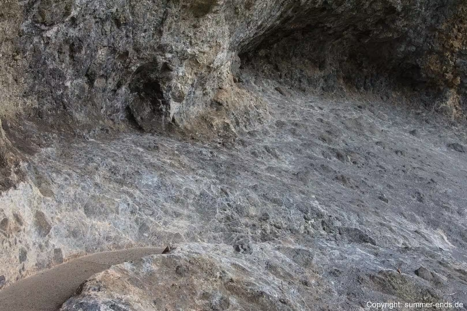
On the plateau surfaces the rock is often masked by deep clay soils and a mat of roots, so the geology is most clearly read in the cliff lines, in the rock arches and overhangs cut by water, and in the boulders and stones that break the surface along the walking tracks. Near Mount Hobwee, the highest point in the park, and around Bushrangers Cave, the volcanic rock opens into cavities and natural chambers shaped by a long period of weathering and collapse.
Things to See
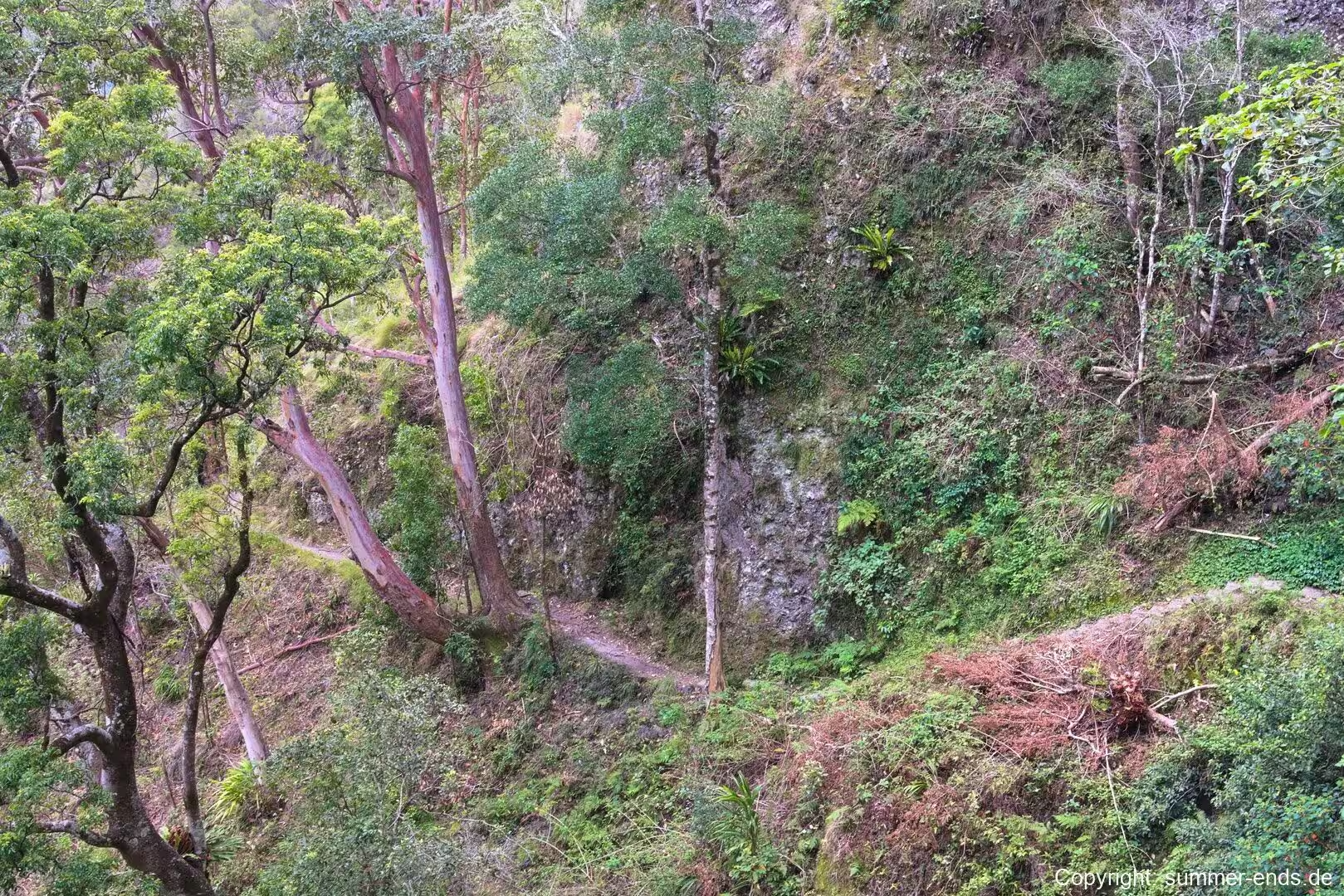
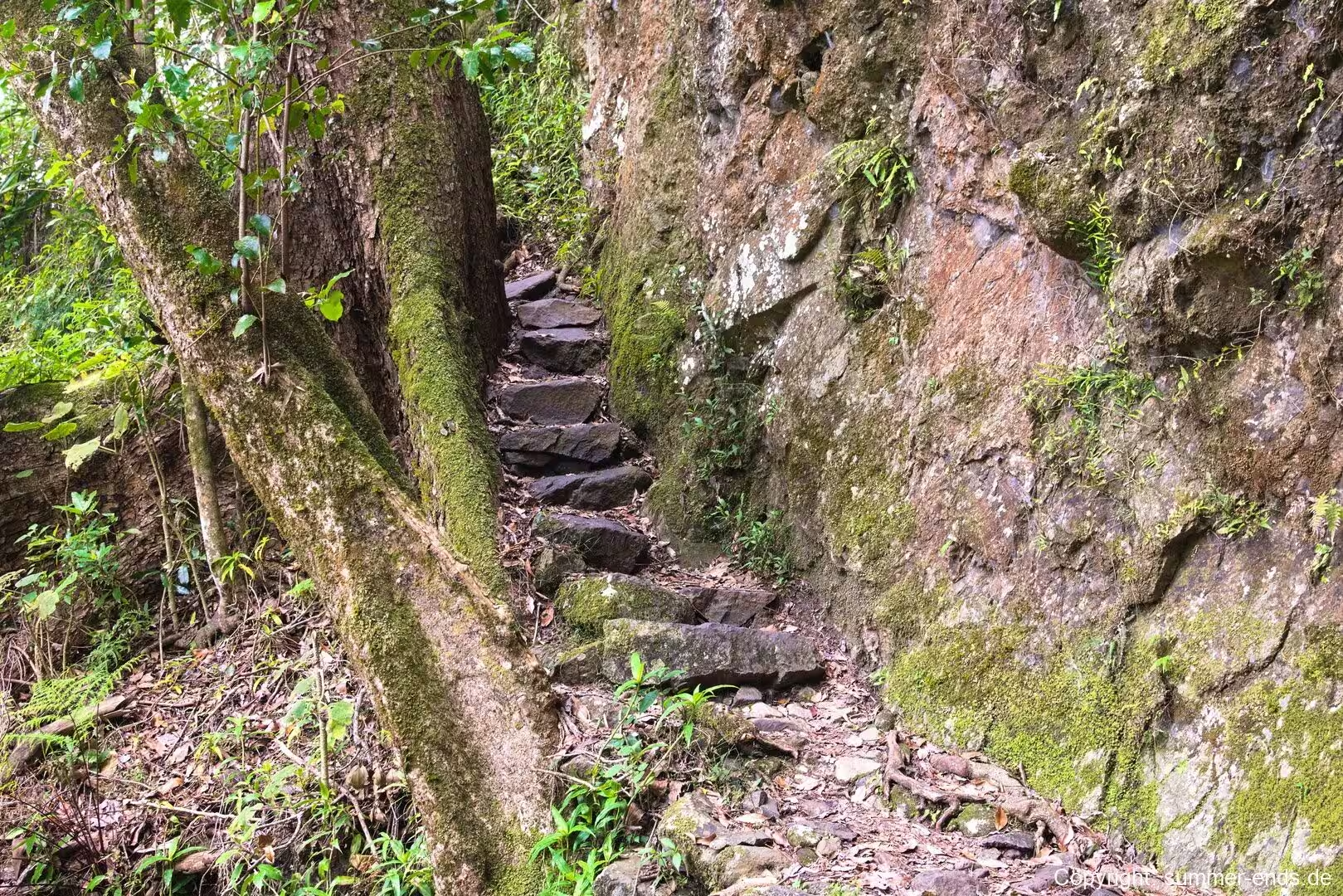
Binna Burra is the northern hub for the walking network of Lamington National Park, where more than 150 kilometres of clearly marked tracks fan out across the plateau. The trails were laid out on gentle gradients, so that paths rarely climb steeply, and where a climb was unavoidable stone steps and sections of timber were cut into the slope. From the trailhead a short Rainforest Circuit offers an easy introduction to the sub-tropical forest, while the Tullawallal Circuit gives a longer look at the transition from warm rainforest to cool cloud forest.
The Tullawallal Circuit branches off the Border Track and climbs to a small summit on which grows the northernmost patch of Antarctic beech in Australia. Along the way the forest changes before your eyes: strangler figs, plank buttresses, vines and epiphytes give way to a mossier woodland with fewer buttresses and more ferns, until the ridge is reached where the old beeches stand amid a carpet of fallen leaves and bracket fungi. This is the most accessible cool temperate rainforest in the park and one of the clearest links to the forests of Gondwana.
The Border Track itself follows the state boundary along the crest of the McPherson Range, linking Binna Burra to the Green Mountains section at O’Reilly’s Rainforest Retreat. The track is well maintained and signed, and from its high points there are views down into Coomera Gorge and across the ranges. It was built in the late 1930s and remains one of the great range top walks in eastern Australia.
For those with a full day, the Mount Hobwee Circuit climbs to the highest point in the park, passing through beech forest and a mossy cloud forest before reaching Dacelo Lookout, which looks out across the Scenic Rim towards Mount Warning and the Border Ranges. The Ships Stern Circuit descends through stands of piccabeen palm to the floor of Nixon Valley, home to red cedar and flooded gum, and passes the lower Ballunjui Falls before climbing to the open eucalypt ridge of Ships Stern, where the lookout at Kooloobano Point gives sweeping views down the Numinbah Valley past Turtle Rock and Egg Rock to distant lakes and ranges.
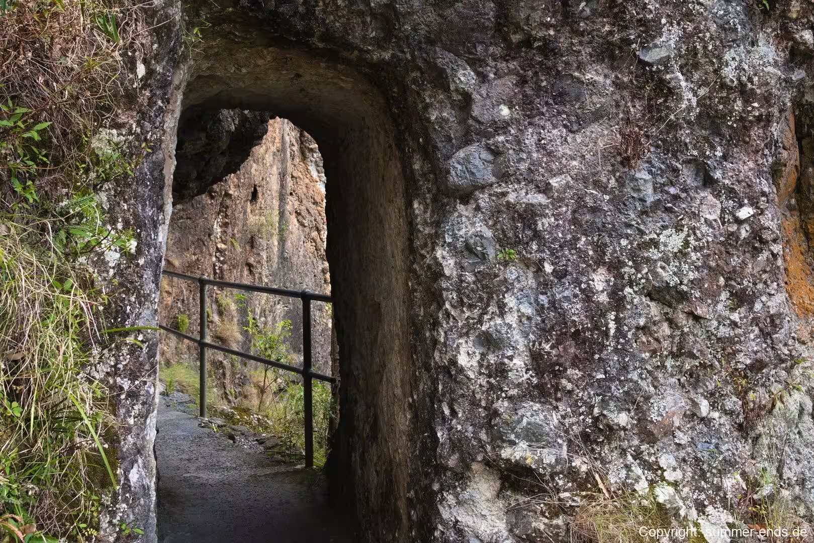
Shorter options include the Bellbird Lookout track and the Caves Track. The Lower Bellbird circuit passes Koolanbilba and Yangahla lookouts, with views of Ships Stern and the Numinbah Valley, as it descends through dry rainforest dominated by hoop pine and crosses tributary streams. The Caves Track winds through open forest and rainforest past cave formations in the volcanic rock, where water has carved natural chambers and rock archways from the basalt. On the cliff faces along the way, orchids and ferns cling to the stone, and the higher ridges carry the bracket fungi and moss that flourish in the moist air.
Across all these routes the bush is alive with detail. Red berries appear in the understorey in the wetter months; shelf-like brackets of fungus grow from the trunks of old trees; the roots of the oldest beeches run like buttresses across the forest floor; and the stone steps that drop down the escarpments show how steep this country is. Along the quieter tracks walkers may hear the song of the Albert’s lyrebird, and the pools and falls of the Coomera circuit hold the coldest water in the park. Swimming in the creeks is discouraged, the tracks are graded and can be long, and a good map is essential for anything beyond the short circuits.
References
- Groom, Tony (1973). Lamington National Park. Adelaide: Rigby.
- Keates, Margaret (2017). History of the Formation of Lamington National Park. Brisbane: Royal Geographical Society of Queensland.
- Stubbs, Brett and Specht, Raymond (2005). Lamington National Park and Binna Burra Mountain Lodge, Queensland: Partners in Conserving Rainforest. Brisbane: Queensland Parks and Wildlife Service.
- About Binna Burra. www.binnaburralodge.com.au/about/
- History. www.binnaburralodge.com.au/history/
- Walking Tracks in Lamington National Park. www.binnaburralodge.com.au/walking-tracks-in-lamington-national-park/
- Caves Track, Lamington National Park. www.queensland.com/au/en/plan-your-holiday/journeys/p-56b262497b935fbe730e20de-caves-track-lamington-national-park
- Lamington National Park. en.wikipedia.org/wiki/Lamington_National_Park
- Binna Burra (lodge). en.wikipedia.org/wiki/Binna_Burra_(lodge)
- Binna Burra, Queensland. en.wikipedia.org/wiki/Binna_Burra,_Queensland
- Gondwana Rainforests of Australia. en.wikipedia.org/wiki/Gondwana_Rainforests_of_Australia
- Nothofagus moorei. en.wikipedia.org/wiki/Nothofagus_moorei
- McPherson Range. en.wikipedia.org/wiki/McPherson_Range
- Tweed Volcano. en.wikipedia.org/wiki/Tweed_Volcano
- Eastern Australian temperate forests. en.wikipedia.org/wiki/Eastern_Australian_temperate_forests
- Coomera River. en.wikipedia.org/wiki/Coomera_River
- Lord Lamington. en.wikipedia.org/wiki/Lord_Lamington
- Romeo Lahey. en.wikipedia.org/wiki/Romeo_Lahey