2015 USA - Analogue Pictures 4
















Journal Notes
General
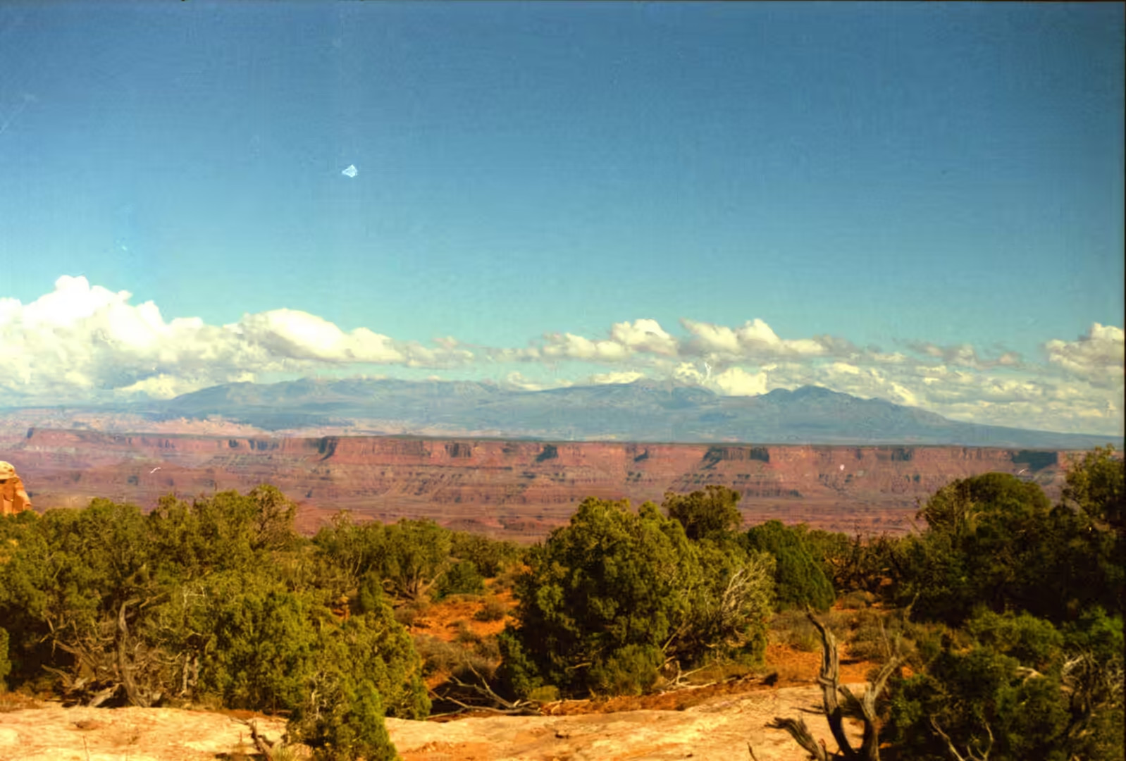
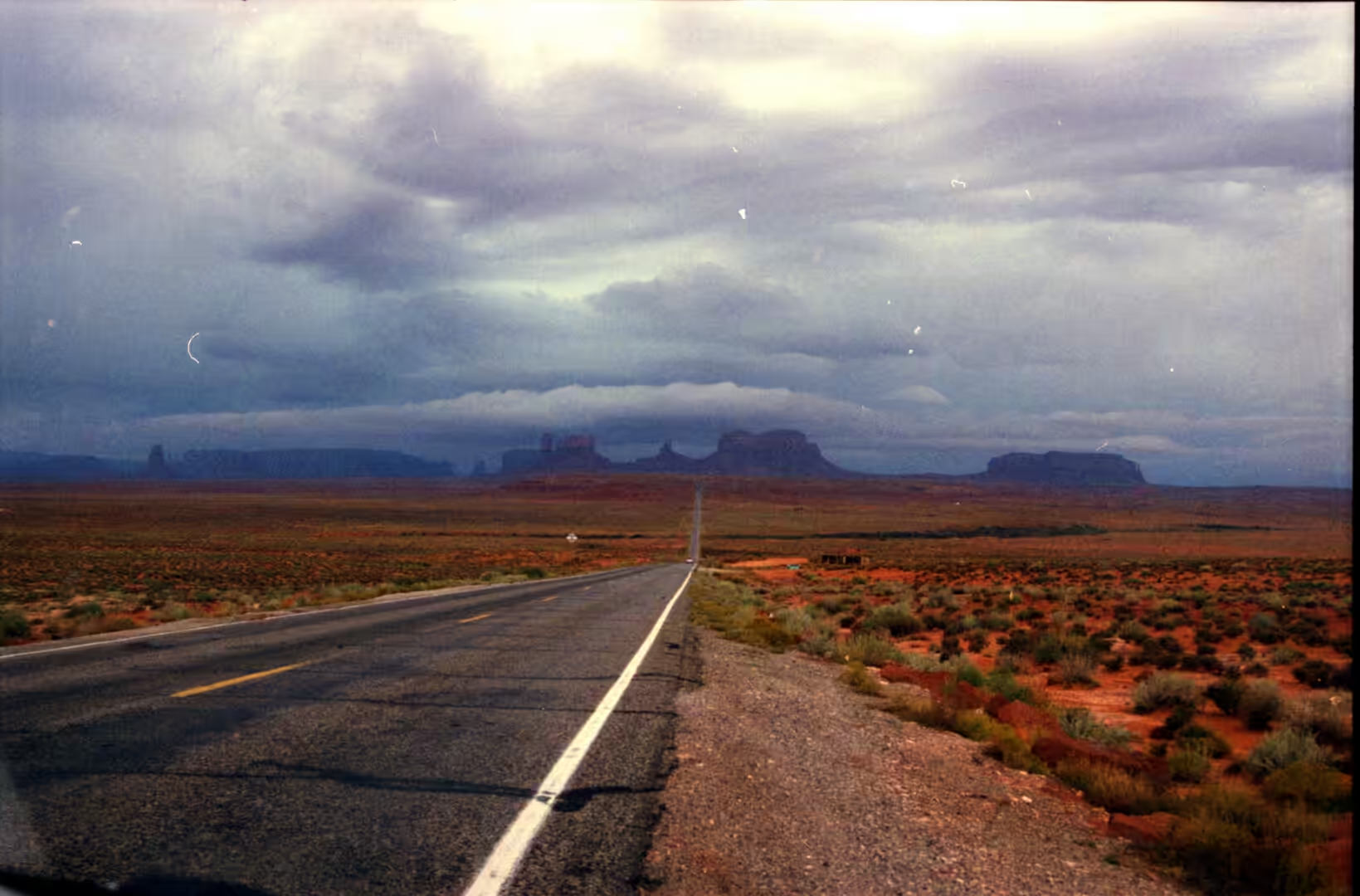
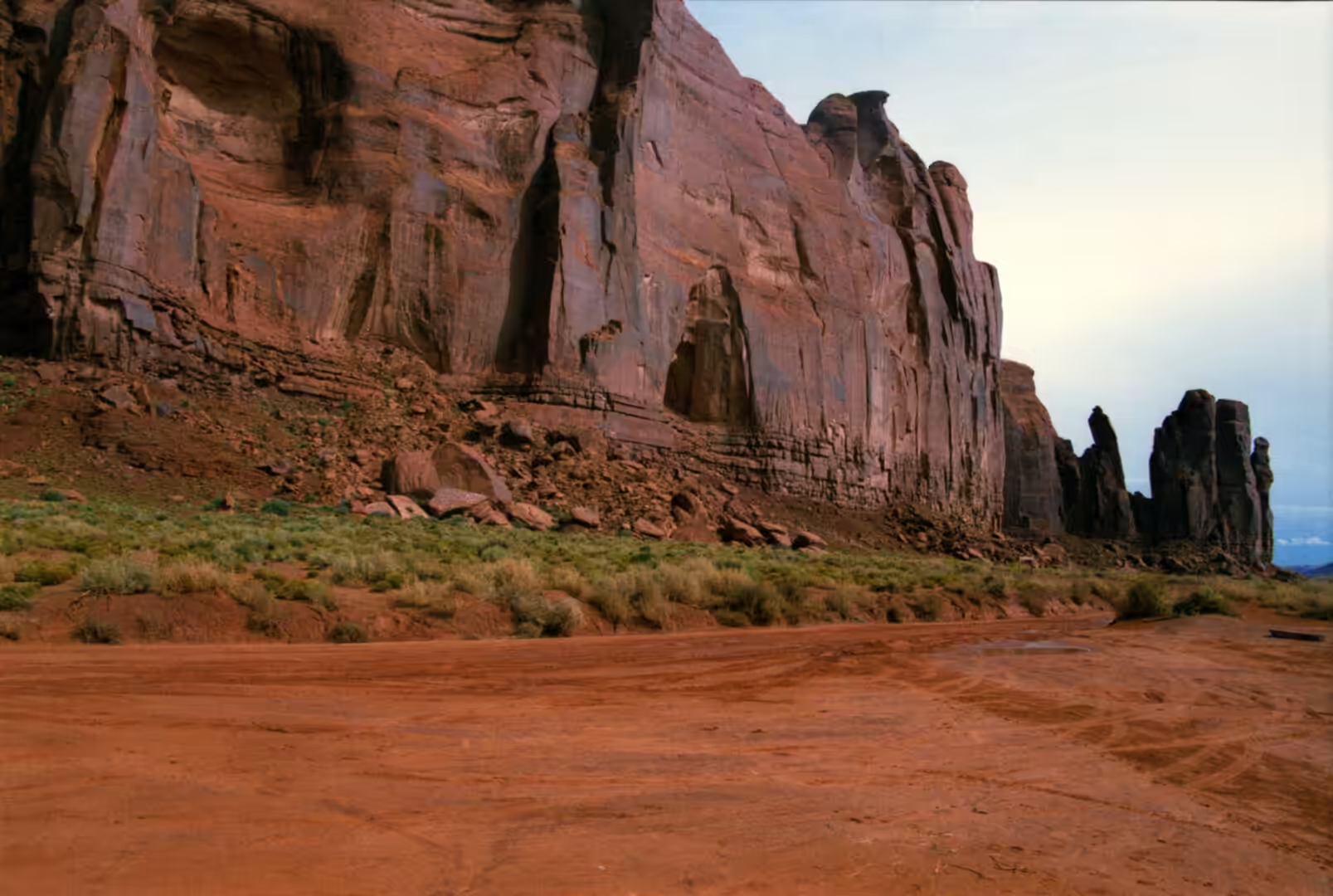
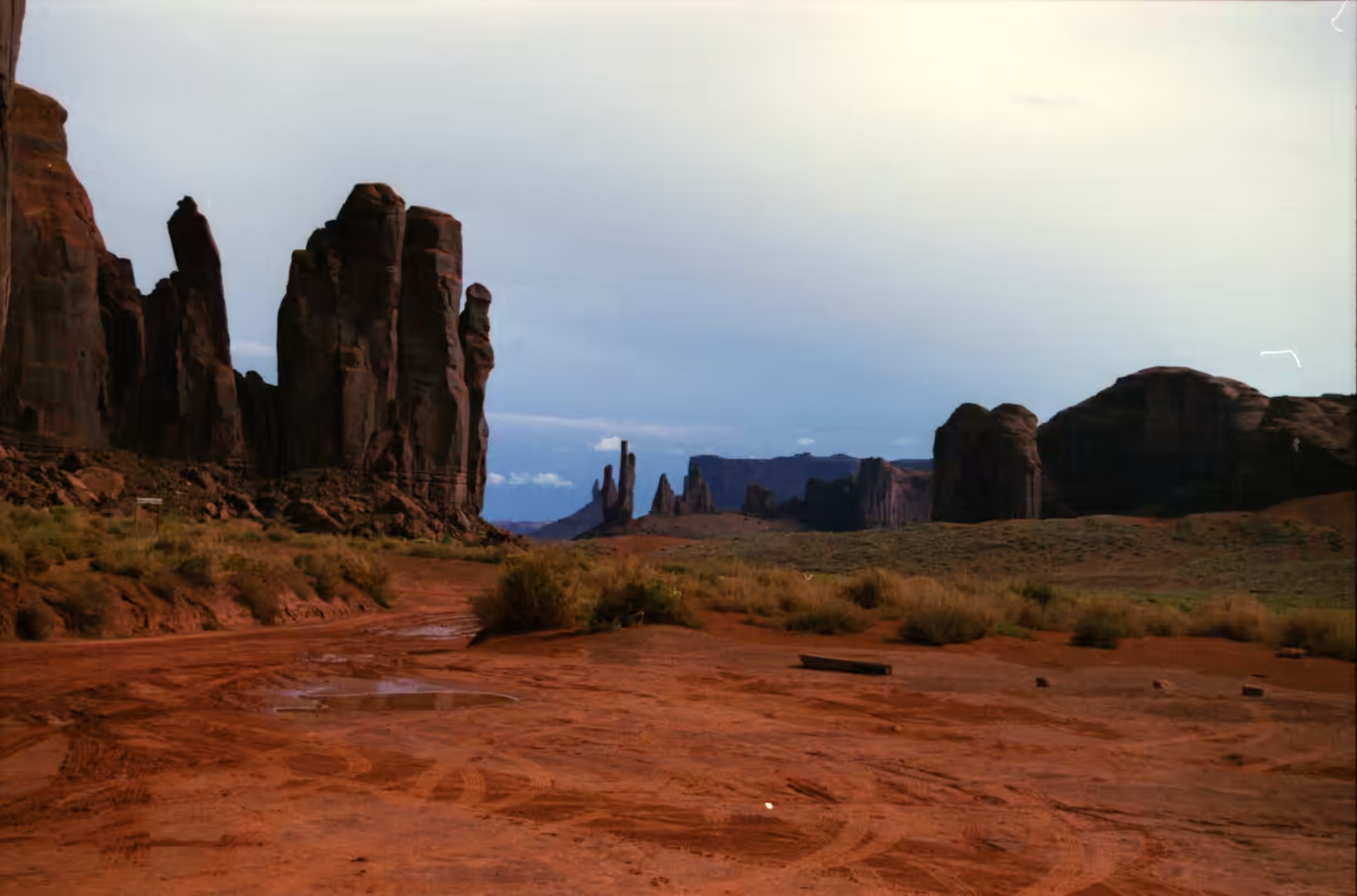
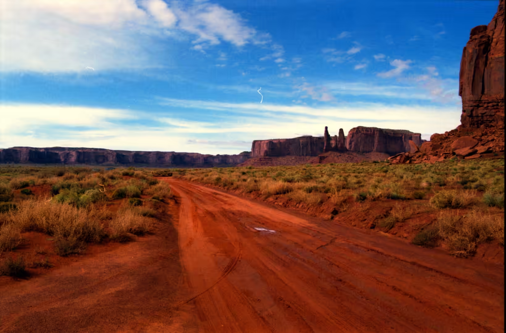
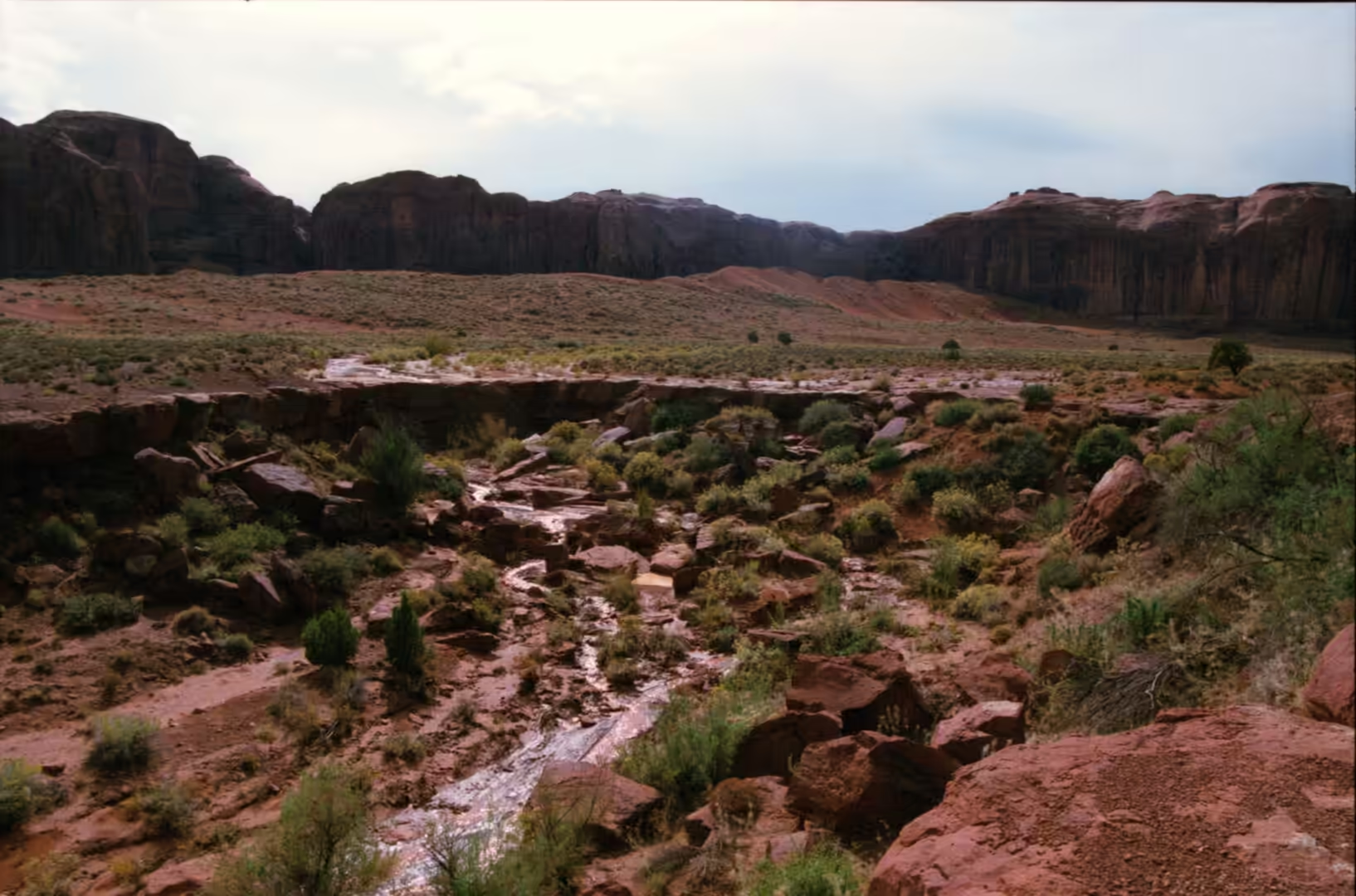
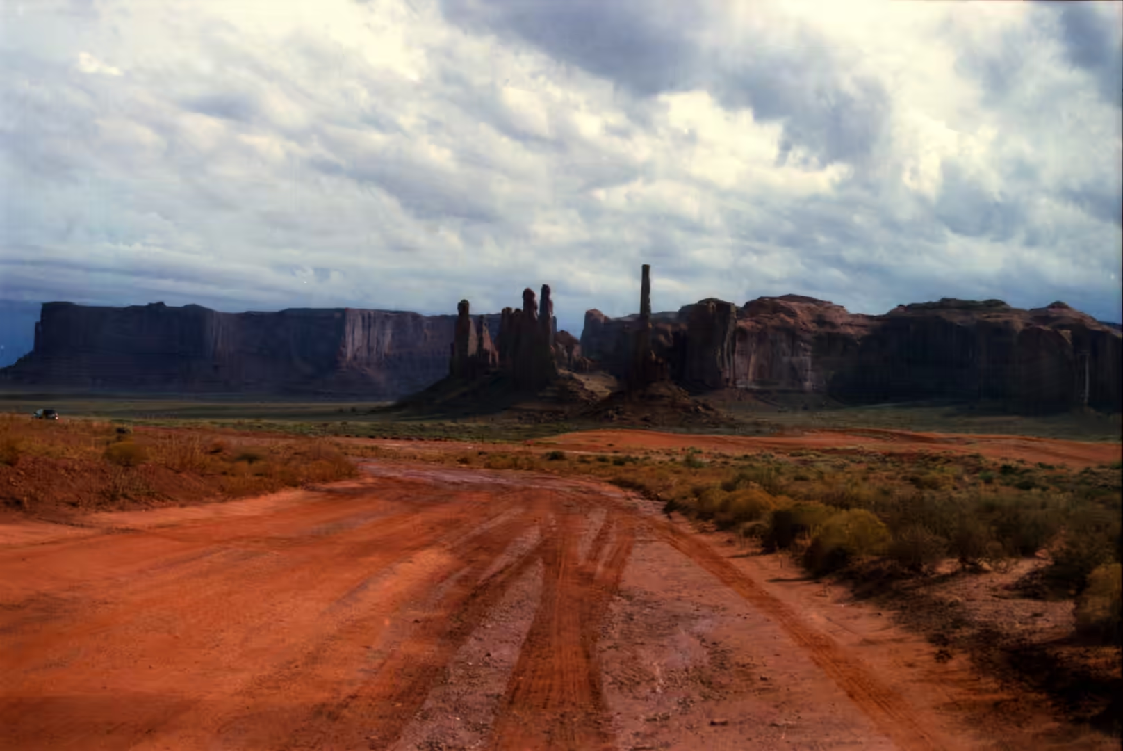
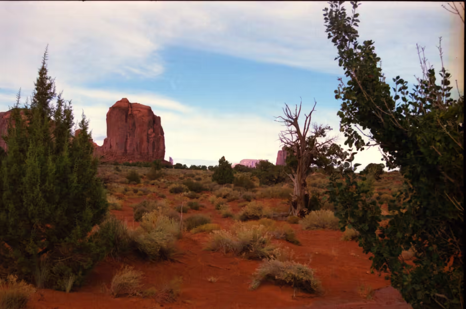
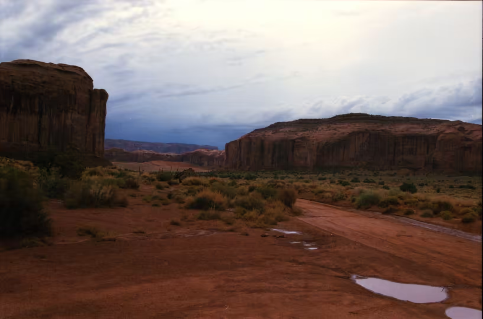
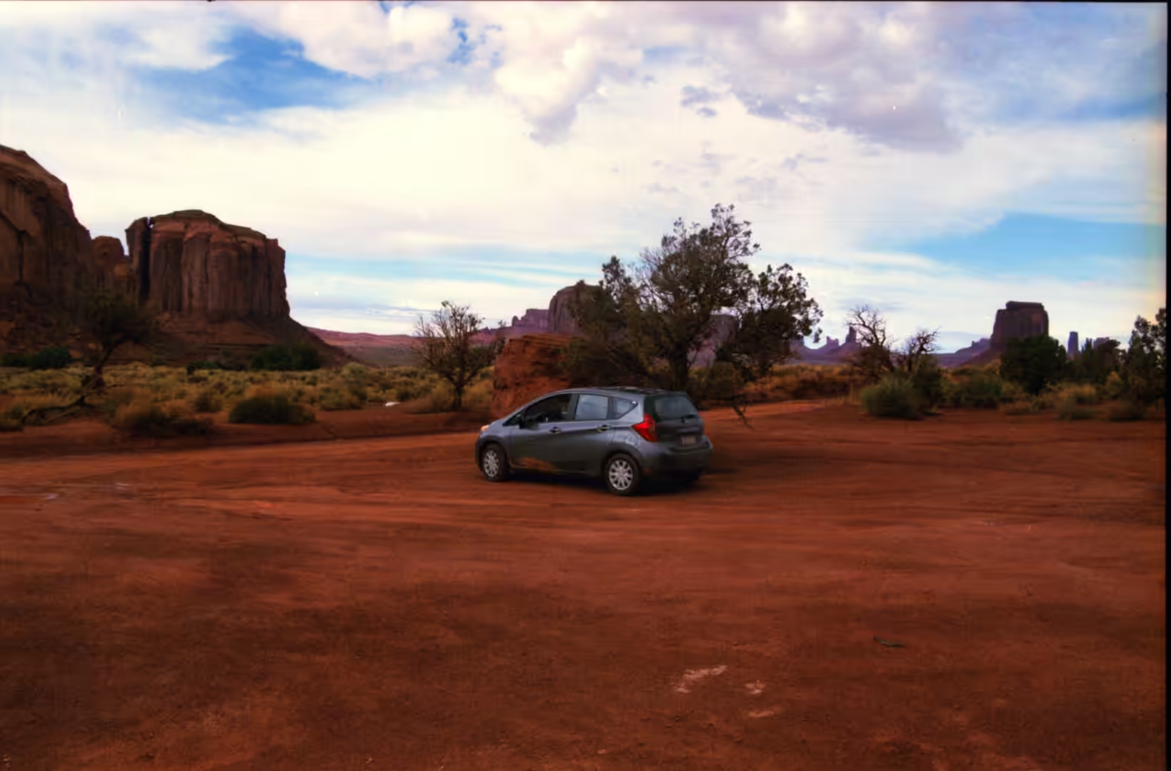
The fourth album is devoted to a single valley and to the shapes that stand in it. Its subjects are red rock spires, buttes and pinnacles rising from an open floor, mesas with sheer walls and flat tops, red gravel and paved roads curving towards distant towers, red rock plateaus under dramatic clouds, and an empty highway running towards the stone. Everything in the album is Monument Valley, or the country around it, and the effect of the place comes from the density of the formations rather than from any one of them: dozens of towers stand close together on a floor that is almost level, so that they can be compared side by side and the sequence from mesa to butte read almost at a glance.
Monument Valley is a region of the Colorado Plateau, and it is famous for the sandstone buttes that rise from the valley floor, the largest of them reaching about 300 metres above the ground. The best known of the formations stand in the north eastern part of Arizona on the border with Utah, and the whole of the valley lies within the Navajo Nation, on whose reservation it sits. The valley is a tribally administered park, Monument Valley Navajo Tribal Park, and the rules about filming, access and behaviour exist because this is inhabited country with its own government, not a piece of empty scenery.
The valley is sacred to the Navajo, and specific formations are bound up with stories and with the place of the people in the world. Visitors are asked to respect that: the valley is not a theme park and the people who live there are not part of an exhibit, and the roads, the homesteads and the livestock are part of a working landscape. For the traveller the practical consequences are simple: stay on the marked route, take a guide for the back roads, and treat the valley as somewhere people live rather than somewhere people visit.
Access is straightforward but basic. The valley is reached from the town of Kayenta in Arizona on US Route 163, and the road along the border towards Mexican Hat in Utah is the route most visitors travel, running between the buttes with the Mitten and Merrick formations on one side of the highway and fences, hogans and grazing land on the other. The visitor centre and the start of the scenic drive lie a short distance off that road, and the paved approach is the only part of the valley that is not reached over dirt.
The climate is desert, but the altitude tempers it. Monument Valley has cold winters and hot summers, and while the summer days are hot the heat is reduced by the height of the valley above sea level; summer nights are comfortably cool and the temperature drops quickly after sunset, so a jacket is useful in the evening even in July. Winters are cold but the daytime highs are usually above freezing, and snow falls occasionally and normally melts within a day or two. The light snowfall on red rock is one of the reasons visitors come to the valley outside the summer season.
The valley is larger than the tribal park inside it. Monument Valley as a region includes much of the area surrounding Monument Valley Navajo Tribal Park, which is the Navajo Nation equivalent of a national park, and the community of Oljato also lies within the area carrying the name. Visitors pay an access fee and drive through the park on a dirt road, while parts of the valley such as Mystery Valley and Hunts Mesa can only be reached with a guide. From the north the classic approach runs south on US Route 163 from beyond the Utah and Arizona state line, past the point where the highway rises and the whole line of buttes appears ahead: a view so often reproduced that it now stands for the American West in general, and one that repays stopping for rather than viewing from a moving car.
History
The valley and its people have a modern history as well as an older one. The Navajo Nation, which surrounds the valley, is the largest Indian reservation in the United States, large enough to exceed the area of ten of the fifty states, occupying parts of north eastern Arizona, north western New Mexico and south eastern Utah with its government at Window Rock in Arizona. The reservation was established by treaty in 1868 and expanded several times after that, the chapter system dates from 1922 and the tribal council from 1923, and at the 2010 census 173,667 of the 332,129 enrolled Navajo lived on the reservation.
The traditional economy was pastoral. Navajo families raised sheep and goats, in particular the Navajo-Churro breed, sold the wool for cash or spun and wove it on vertical and back strap looms, and the weaving of rugs and blankets became the best known product of the reservation. Herding gave the families a reason to be spread across the country rather than gathered in towns, and that pattern is still visible in the grazing land and the scattered homesteads of the valley. The craft stalls along the highway belong to this economy rather than to the tourist trade alone.
Mining left a heavier mark. Between 1945 and 1967 uranium was mined on the southern part of the Monument Upwarp, a geological structure where older rock has been lifted towards the surface, with the ore taken from the Shinarump Conglomerate; vanadium and copper were produced in the same operations. The mines brought wages and roads into a remote part of the reservation and also left abandoned workings and their consequences, and the period is part of the modern history of the valley as much as the scenery is.
The valley entered world culture through the cinema. From the 1930s it was used as a setting for western films, above all by the director John Ford, whose work made the buttes of Monument Valley familiar to audiences who had never been within a thousand miles of them; other directors followed, among them Sergio Leone, who used similar country in Once Upon a Time in the West. The valley has become one of the most recognisable landscapes in the world, and the result is a place that feels familiar on a first visit, which is a strange thing to have done to a working landscape.
Geology
The vocabulary is worth setting out, because the shapes have names. A mesa is an isolated hill with steep sides and a small flat top, and it is larger than a butte, which is a hill with steep sides and a small flat top of its own; the practical rule of thumb used in the region is that if the top of the formation is wider than the height of its walls, it is a mesa, and if the top is narrower than the height, it is a butte. A plateau is larger again. The word butte comes from the French for a knoll, and both forms are the products of erosion working on a once continuous layer of rock.
The process runs from plateau to butte in three steps. A plateau is cut by rivers and weathering until it is divided into mesas separated by valleys; the mesas are then attacked along their sides, the soft beds beneath the resistant cap wearing away faster than the cap itself, so that their edges retreat and their tops shrink; and finally a mesa is reduced to a butte standing on the plain. The resistant cap is what delays the end: as long as the hard layer survives, the shape below it is protected, and when the cap fails the whole structure goes quickly. Examples of the same family occur across the plateau, from Courthouse Butte near Sedona in Arizona to the Pawnee Buttes on the plains of Colorado.
Monument Valley is an unusually clear place to watch this happen. The layers are close to horizontal, because the plateau was lifted rather than folded, so the formations stand in vertical walls with level lines running through them. The red colour comes from iron oxides in the sandstone, and the darker, more resistant bands cap the towers and produce the flat tops and the narrow necks beneath them. Because the rock has been jointed and then cleared along the joints, the towers are separated by straight corridors of red sand, and the floor between them is covered with the debris of the process in the form of gravel, sand and dust.
On the ground the geology is a matter of surface. The roads of the valley are red because the rock they are cut from is red, and the gravel and dust that cover them are the same material; after rain, the surface is slippery and the tracks are cut into ruts, and in dry weather the dust rises behind vehicles and hangs over the road. Driving the scenic drive is therefore also an exercise in reading the country: red dirt road curving between formations, a mesa wall in the middle distance, and a plateau edge where the road leaves the valley for the open country beyond.
Things to See
The classic circuit is the scenic drive, which leaves the visitor centre and runs about 17 miles through the valley over unpaved road, past the best known formations. The route is one way for most of its length, and the surface is graded dirt and rock, which is why ordinary cars manage it in dry weather and struggle in the wet. The first formations, including the Mittens, stand close to the start, and the drive continues past a series of overlooks, side spurs and parking areas where the sequence from mesa to butte can be followed in a single afternoon.
The road along the border is the other essential view. From the highway the formations are seen from a distance across open country, with the towers in a line and the valley floor running away behind them, and this is the view that has stood in for the whole American West in films and advertisements. It is also a road with traffic on it: the highway here is a working route between the towns of the reservation, and the pull offs are the places to stop rather than the road itself.
On foot the valley opens up in a different way. Outside the vehicle route, the valley is reached by guided tours with Navajo guides, on horseback or in four wheel drive vehicles, and the back roads lead to places that the scenic drive does not touch. Walking away from the roads is not permitted without a guide, which protects both the ground and the privacy of the people who live in the valley. Where walking is allowed, the scale is deceptive: a formation that appears to be a twenty minute walk away is usually much further, and the sand makes the going slow.
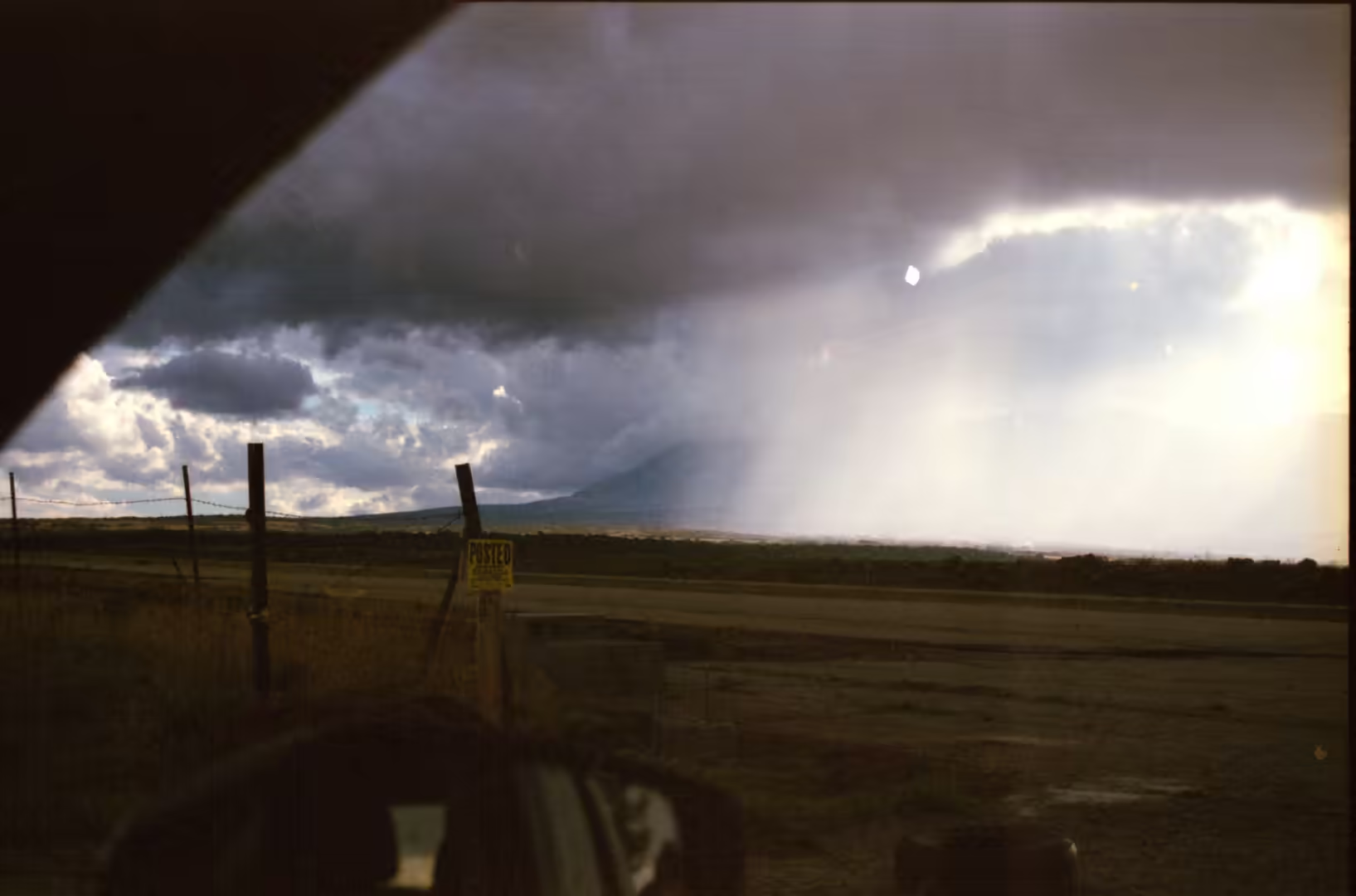
The best times of day are the ends of it. In the early morning the formations stand against a pale sky with long shadows across the floor, and in the evening the sandstone turns from orange to deep red while the clouds above the plateau catch the last light. The weather moves quickly over the open ground: clouds form along the plateau edge in the afternoon, storms cross the valley in a short time, and the light afterwards is the best of the day. Standing at a viewpoint with the wind in the juniper and nothing else to hear, the valley is at its most convincing, which is why so much of the album is of the valley floor rather than of the buttes alone.
References
- Baker, A. A. & others (1936). Geology of the Monument Valley-Navajo Mountain region, San Juan County, Utah. United States Geological Survey Bulletin 865. doi.org/10.3133/b865
- Baker, A. A. (1936). The Monument Valley-Navajo Mountain Country. Geographical Review 26, 592-602. doi.org/10.2307/209072
- Wikipedia contributors (2026). Butte. en.wikipedia.org/wiki/Butte
- Wikipedia contributors (2026). Colorado Plateau. en.wikipedia.org/wiki/Colorado_Plateau
- Wikipedia contributors (2026). Four Corners. en.wikipedia.org/wiki/Four_Corners
- Wikipedia contributors (2026). Mesa. en.wikipedia.org/wiki/Mesa
- Wikipedia contributors (2026). Mitchell Mesa. en.wikipedia.org/wiki/Mitchell_Mesa
- Wikipedia contributors (2026). Monument Valley. en.wikipedia.org/wiki/Monument_Valley
- Wikipedia contributors (2026). Navajo Nation. en.wikipedia.org/wiki/Navajo_Nation
- Wikipedia contributors (2026). Uranium mining. en.wikipedia.org/wiki/Uranium_mining
- Wikipedia contributors (2026). Waterpocket Fold. en.wikipedia.org/wiki/Waterpocket_Fold
- Witkind, I. J. & others (1963). Geology and uranium-vanadium deposits of the Monument Valley area, Apache and Navajo Counties, Arizona. United States Geological Survey Bulletin 1103. doi.org/10.3133/b1103