2015 USA - Analogue Pictures 5













Journal Notes
General
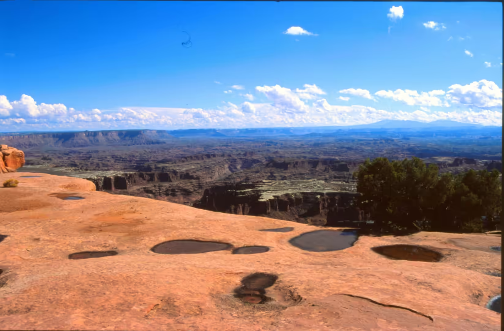
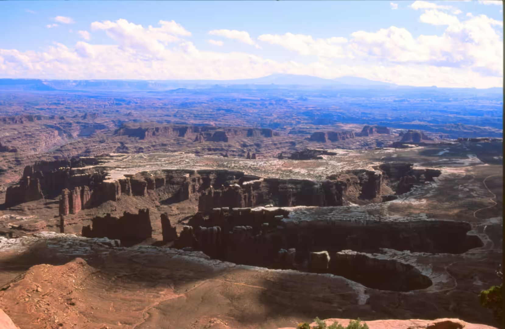
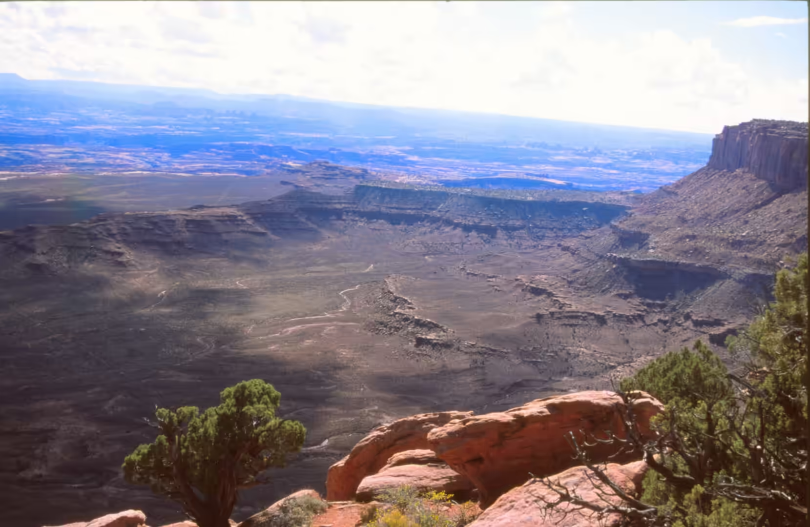
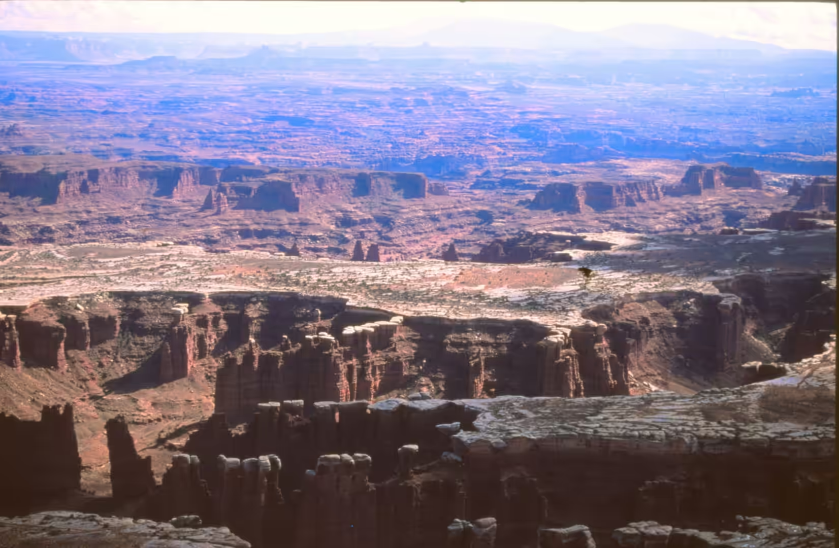
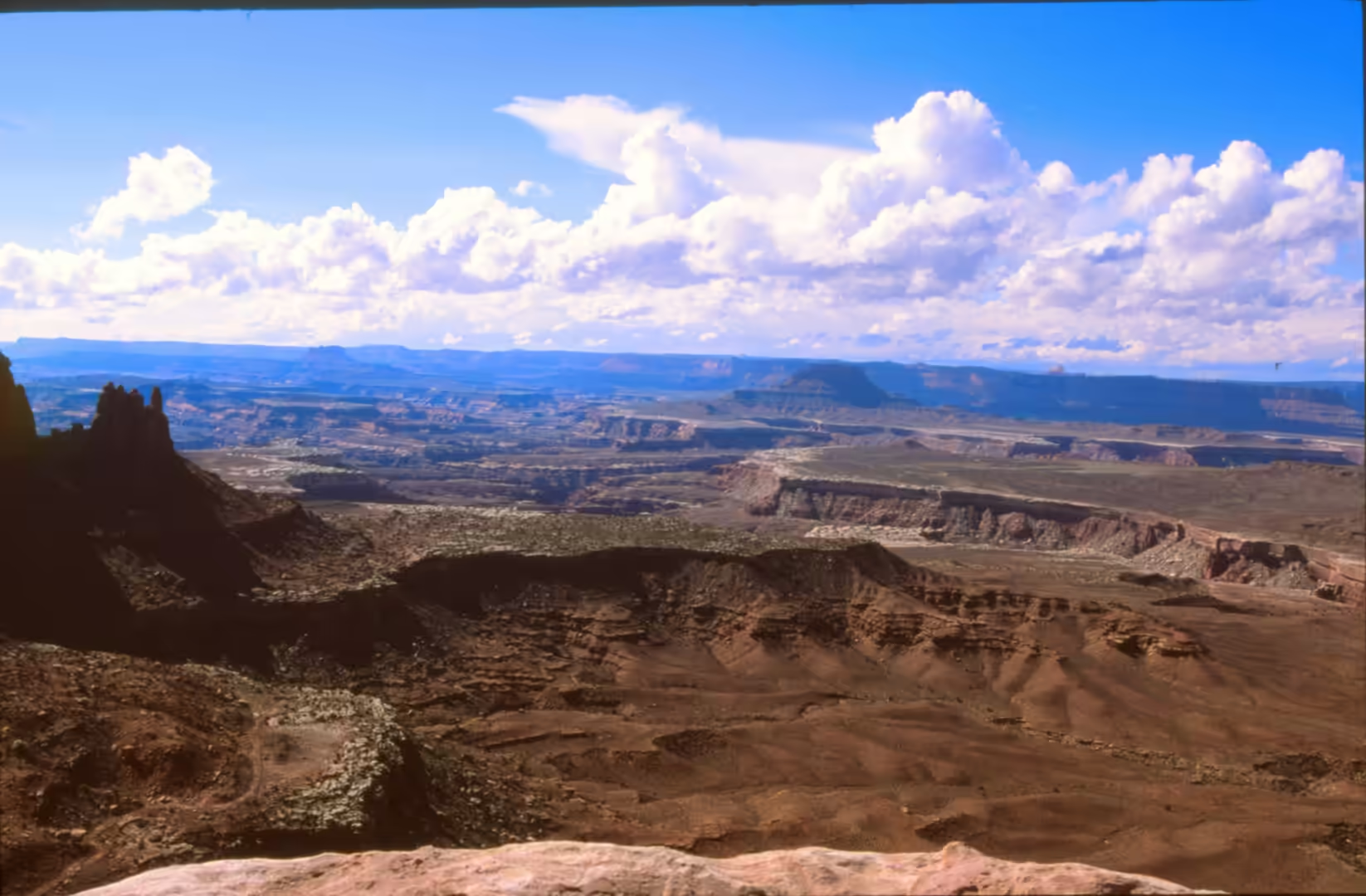
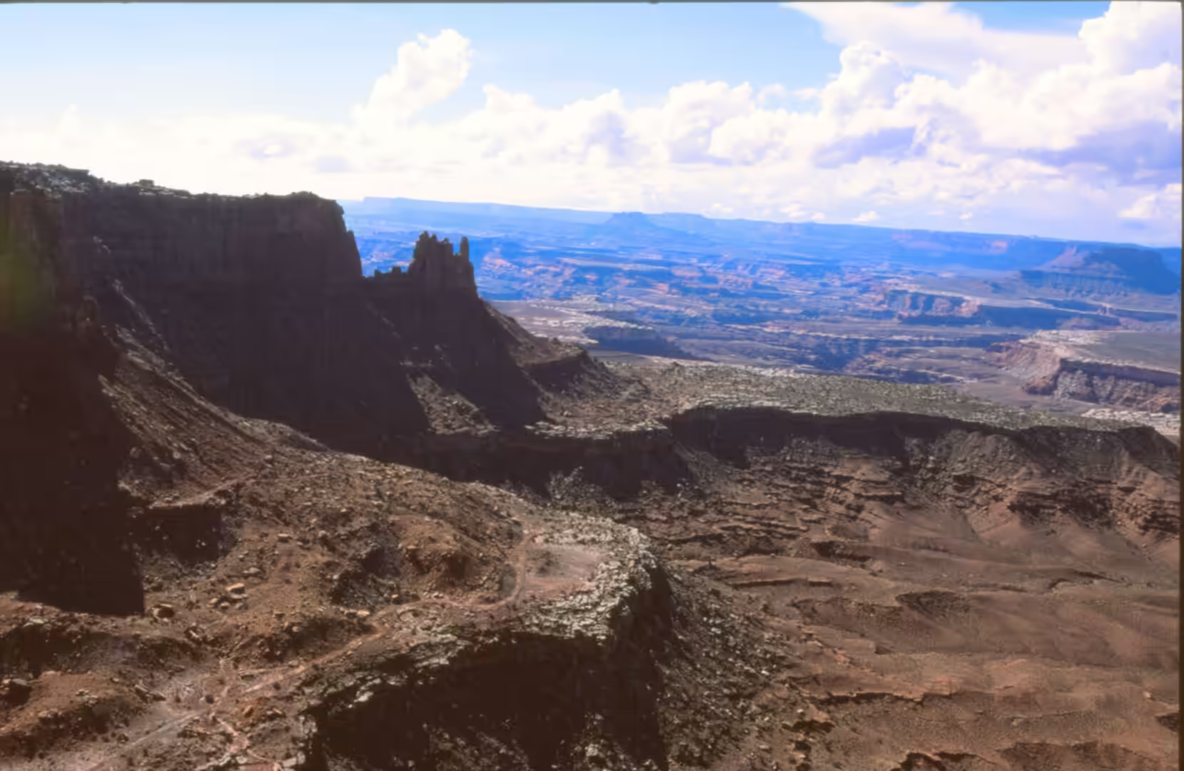
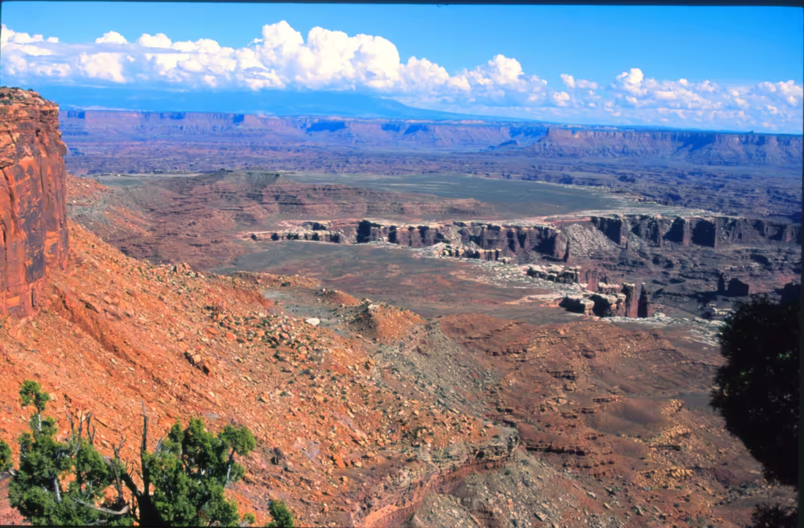
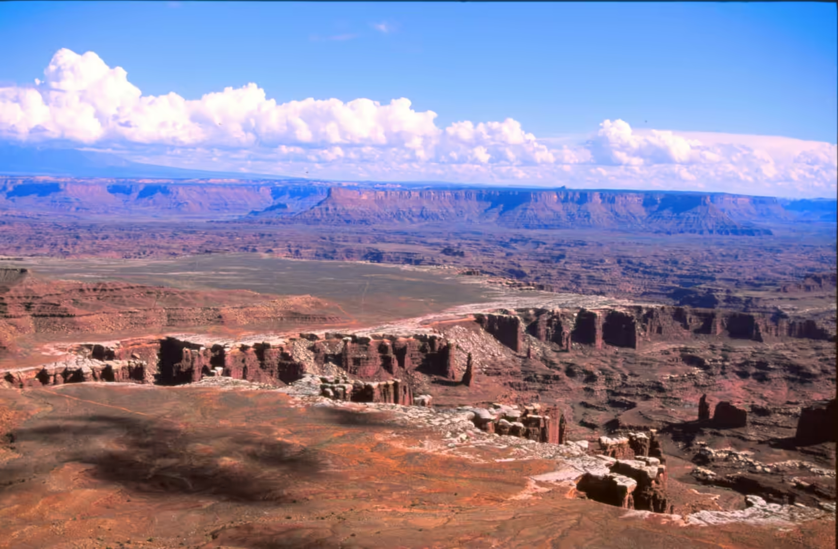
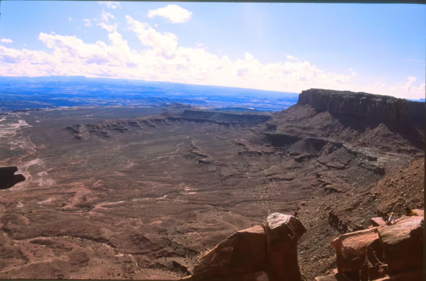
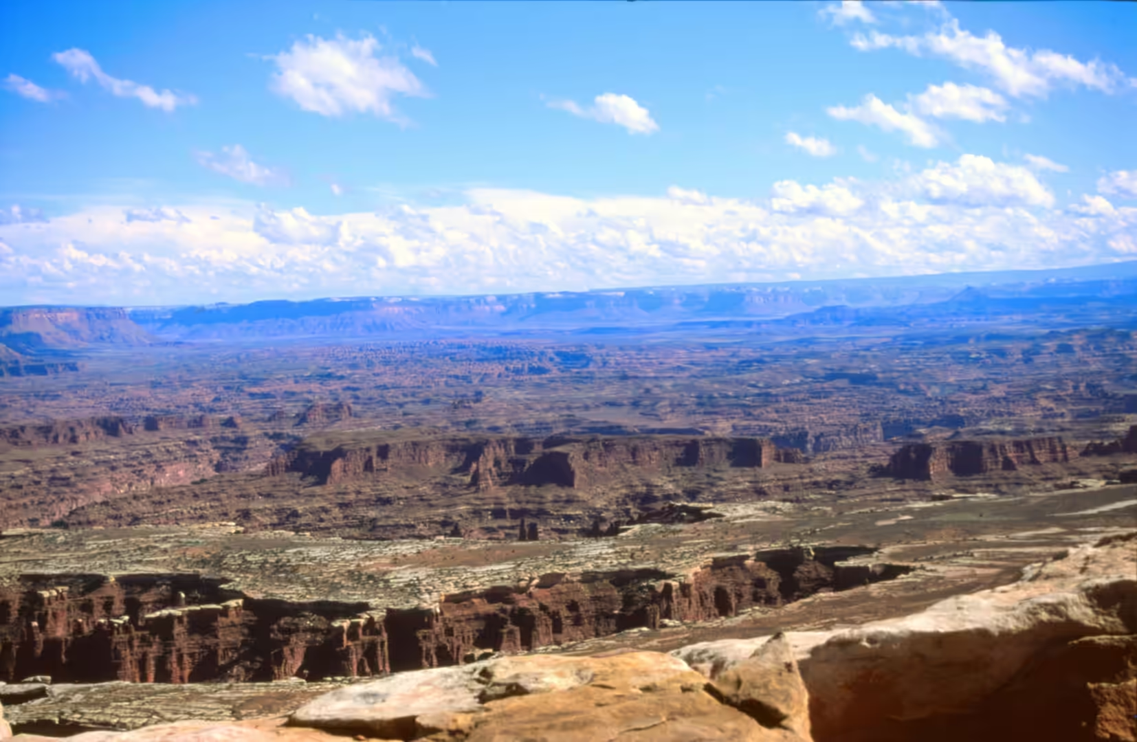
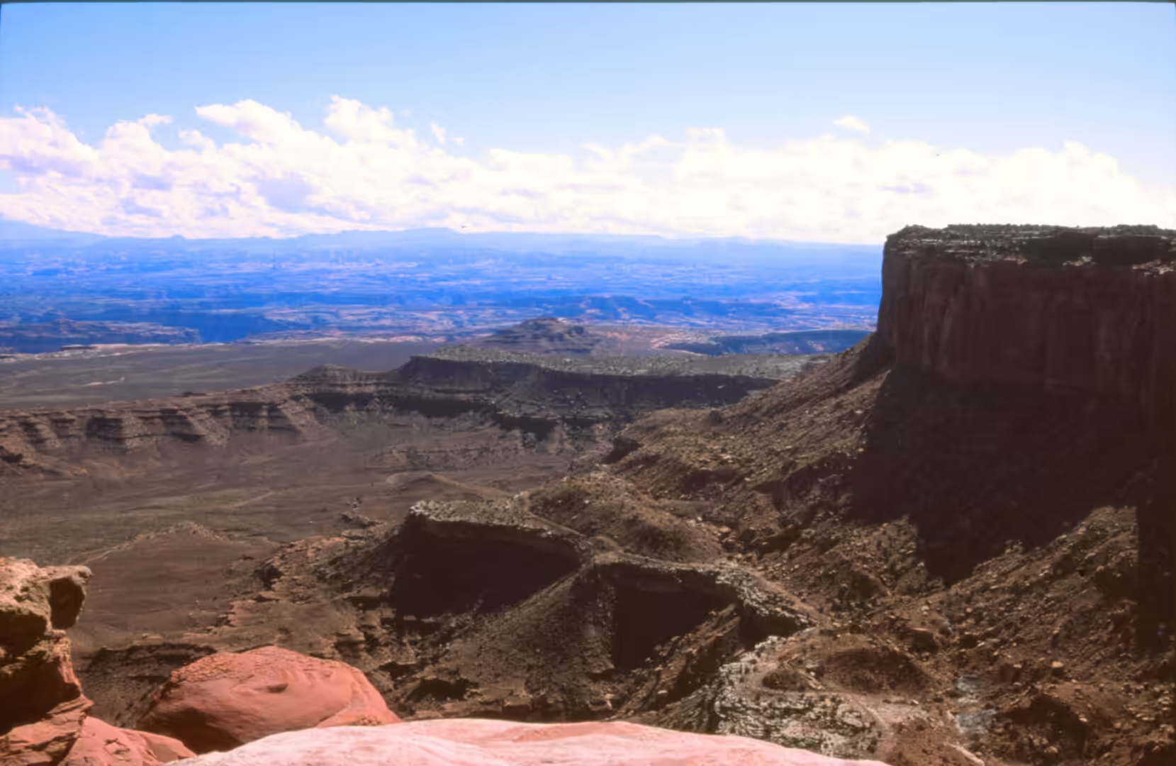
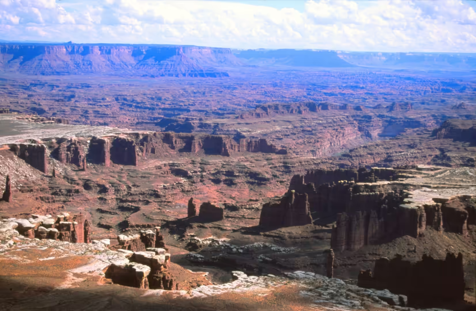
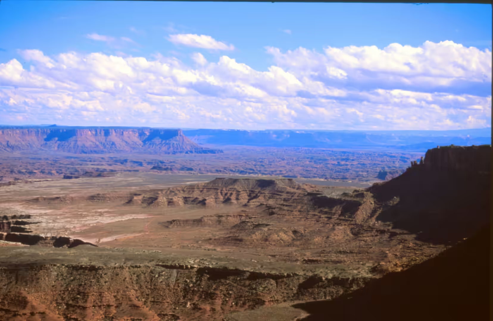
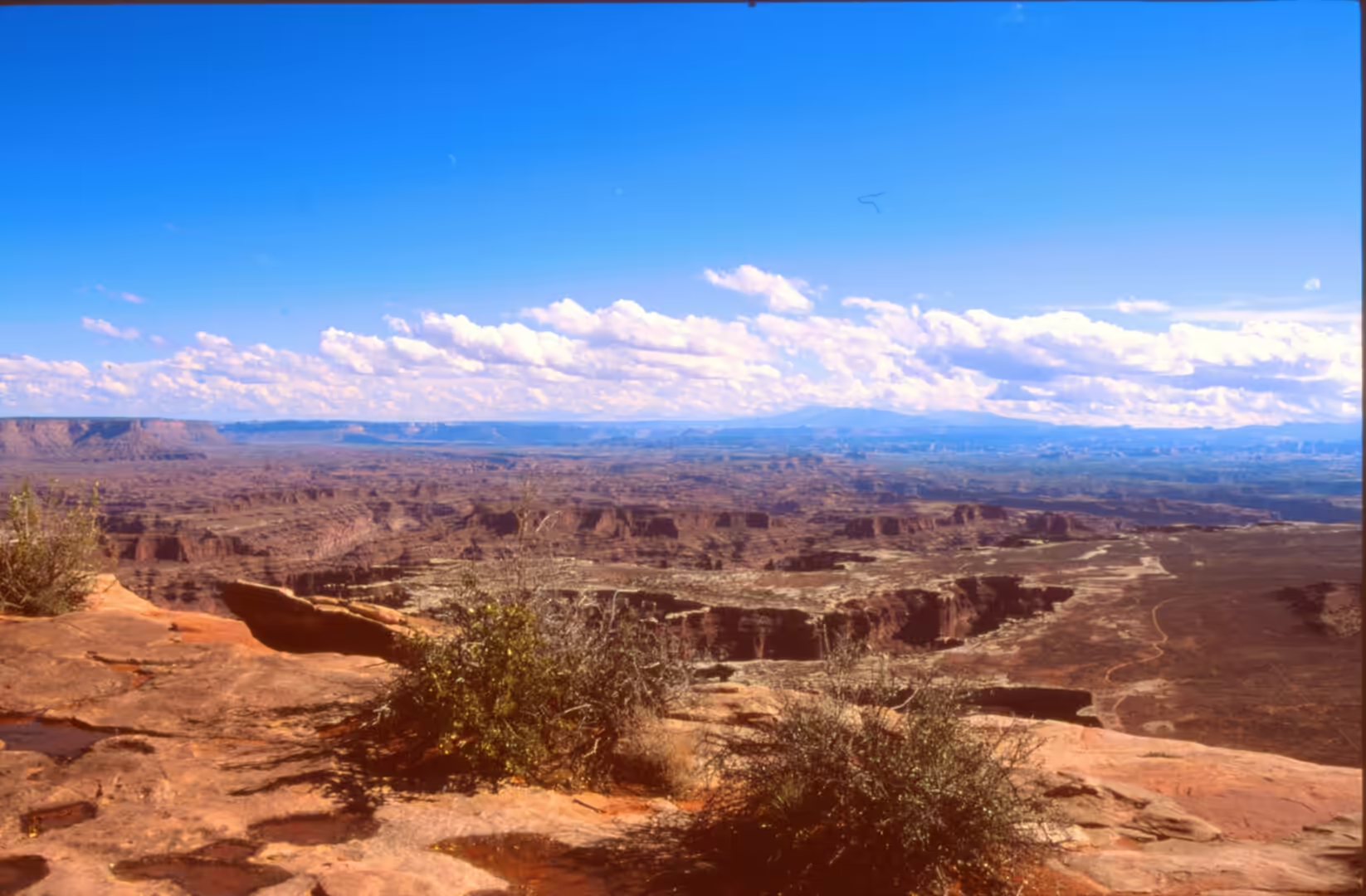
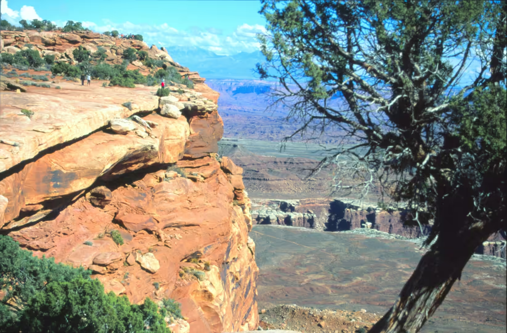
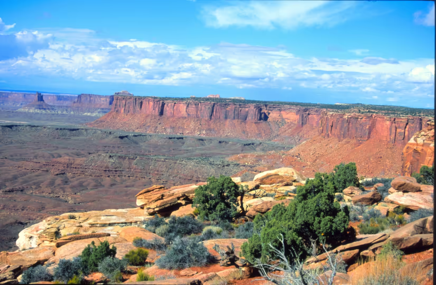
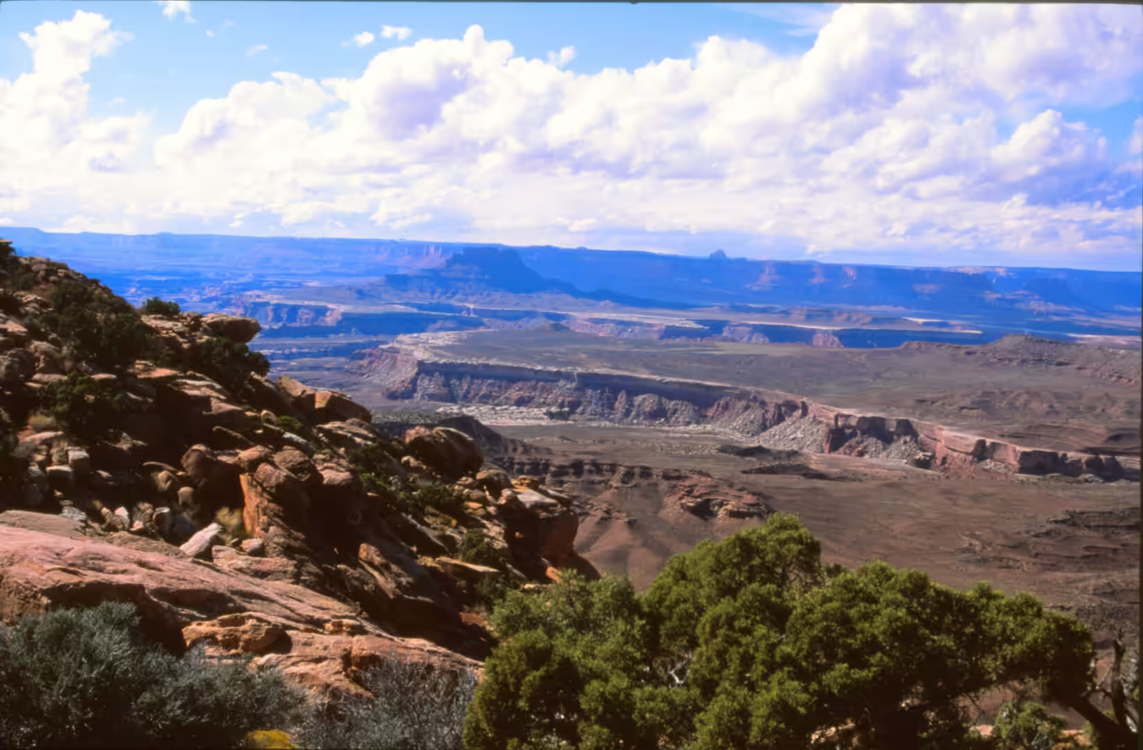
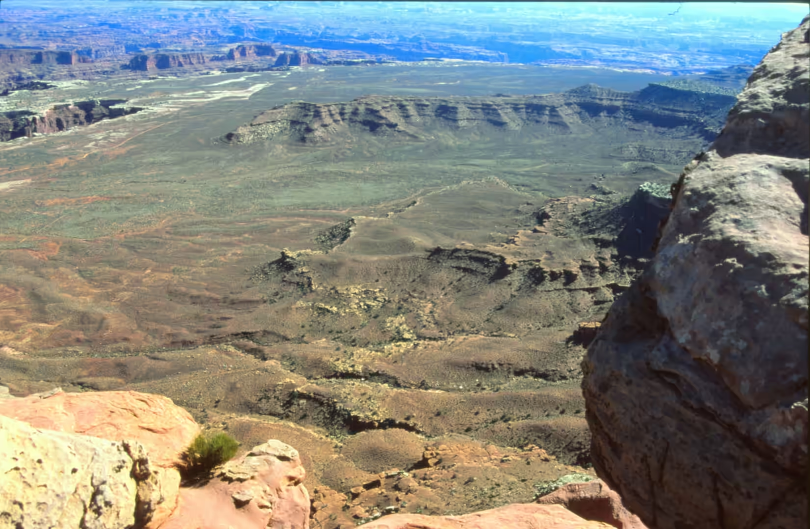
The fifth album is the deep canyon country of south eastern Utah. Its subjects are sweeping canyon views from the top of the plateau, mesas and buttes of red and orange rock with greenish bands, a deep winding canyon with a river turning through it, a wooded gorge below a huge curved cliff face, S curves on an asphalt road seen from above, dry ridges with scattered shrubs, and trails crossing bare rock. This is Canyonlands National Park, where the Colorado and Green rivers have cut the plateau into a landscape of mesas, canyons and benches, and where the distances are measured in hundreds of metres vertically rather than in miles.
The park lies south west of Moab and was established by an act signed in September 1964 by President Lyndon Johnson. It is divided into four districts, which share a primitive desert atmosphere and nothing else: the Island in the Sky, the Needles, the Maze, and the rivers themselves, which the park treats as a fifth element because they are the reason for everything else. Each district retains its own character and has its own access road, and the distances between them are considerable, so a visit is usually to one district rather than to the park as a whole.
The writer Edward Abbey, who worked as a ranger in this country, called it the most weird, wonderful and magical place on earth, and the description has stuck because the landscape does indeed behave like something impossible. From the rim of the Island in the Sky the visitor looks down onto a sandstone bench, the White Rim, about 370 metres below, and then another 300 metres further down to the rivers, and beyond them to more mesas and more canyons in the same pattern. There is no single viewpoint from which the whole park can be seen, and this is part of the point of it.
Visitation is moderate by the standards of the neighbouring parks. Since 2007 more than 400,000 people have visited each year, and the record was 911,594 in 2021, which is a large number for a place with very few roads. The park was closed on 27 March 2020 during the pandemic. Most visitors concentrate on the rim drives, while the backcountry of all three land districts sees almost nobody, because reaching it requires time, water, navigation and, in the Maze, a long drive over rough roads before the walking even begins.
History
The park is young, but the argument for it is older. Explorations by Bates Wilson and others expanded the areas proposed for protection to include the confluence of the Green and Colorado rivers, the Maze district and Horseshoe Canyon. In 1961 the Secretary of the Interior, Stewart Udall, was scheduled to address a conference at Grand Canyon National Park and flew over the confluence on the way; the view apparently sparked his interest in Wilson’s proposal, and he began promoting the establishment of a regional park. The Utah senator Frank Moss introduced the legislation, which attempted to satisfy both nature preservationists and commercial developers, and over the next four years his proposal was struck down, debated, revised and reintroduced before President Lyndon Johnson signed it in September 1964. Bates Wilson became the first superintendent and is often called the father of Canyonlands.
People had been here long before the park. Horseshoe Canyon, a detached unit of the park to the west, contains panels of rock art made by hunter gatherers, including the Great Gallery, a group of painted and pecked figures of human size that is among the best known in North America. The panels predate the Puebloan cultures of the surrounding region, and access to them requires a long drive and a walk in deep sand, which keeps the numbers low and the place quiet. Other sites in the park record later occupation, including the period when the region was crossed by Spanish expeditions and, much later, by trappers, prospectors and stockmen.
The rivers were the routes of the region long before there were roads. The Green River rises in the Wind River Range in Wyoming and crosses Colorado before entering Utah, and the Shoshone knew it as the Seeds-kee-dee-Agie, the Prairie Hen River. In 1776 the Spanish friars Silvestre Vélez de Escalante and Francisco Atanasio Domínguez crossed it near present day Jensen on an expedition that was looking for a route between Santa Fe and the missions of California; they turned back without finding one, and their journals are the first written record of this country by Europeans. The same rivers that made the canyons were the only highways through them.
The modern history of the rivers has been a contest over what to do with them. Dams were proposed and built in the middle of the twentieth century, including the Flaming Gorge Dam on the Green River, whose construction in the 1950s and filling to 1963 was opposed by conservationists who argued that the canyons of the Green and the Yampa should be left flowing. The argument between damming and preserving the rivers of the Colorado basin is one of the foundations of the American conservation movement, and it is the reason several of the canyons in this part of Utah were never flooded.
Geology
The park is a lesson in what a river can do to a plateau. The Colorado Plateau was lifted as a block rather than folded as a range, so its sedimentary layers lie almost flat, and a river crossing the lifted block cuts downwards at the rate the land rises. The result is not a valley with sloping sides but a canyon with vertical walls: the river maintains its course and the rock is removed from beside it, so the layers remain horizontal and stand in the walls at the height at which they were deposited. The two rivers, the Green and the Colorado, cut two such canyons and meet at a confluence in the middle of the park.
The stacked layers are what the visitor sees from the rim. The White Rim is a sandstone bench that stands between the top of the Island in the Sky and the rivers, and it is a resistant bed that has held out while the softer material around it has been removed; below it the canyon narrows to the water. The colours come from mineral content, reds and oranges from iron oxides and paler greys and whites from other sandstones and limestones, and because the beds are continuous across the region they appear as bands at consistent heights wherever they are seen, which is what makes the landscape readable from a distance.
The scenery of the Needles district is made by jointing rather than by layering. Where vertical fractures run through the sandstone in parallel sets, water entering them widens them into corridors and isolates towers and spires, and the result is the array of parallel rock needles that gives the district its name. Druid Arch, at the end of a long walk in the same district, is an opening formed in one of these masses, standing above the surrounding rock with a shape that resembles the stone structures of northern Europe. The forms in the Maze district are the same, harder to reach, and consequently seen by fewer people.
The surface of the ground is a living crust. Much of the soil in the park is held in place by cryptobiotic soil, a community of cyanobacteria, lichens, mosses and algae that fixes nitrogen and holds moisture for seeds, and that is the foundation of life in this dry country. It is fragile enough that a single footprint can destroy decades of growth, which is why walking in the park is restricted to established routes and why the tracks of an off road vehicle remain visible for years. The plants that live above it are the usual scrub of the plateau: blackbrush, four wing saltbush, Mormon tea, cliffrose and juniper, with grasses between them and little shade anywhere.
Things to See
The Island in the Sky district is the part of the park that most visitors see, because it can be reached from Moab by a paved road with overlooks along it. Grand View Point, at the end of the road, looks towards Monument Basin and gives the widest view in the park, with the canyons of the two rivers opening away in different directions. Mesa Arch, a short walk from the road, is a small opening in a rock wall framing the canyon below, and it is at its best at sunrise, when the underside of the arch catches the light reflected from the rock behind it. Both are easy walks on defined paths, and both are busy at the appropriate hour.
Beyond the end of the paved road a dirt track, the Shafer Canyon Road, descends the cliff face in a series of switchbacks to the bench below, and the White Rim Road continues from there around the island on a route used by four wheel drive vehicles and bicycles. This is the only way to see the bench at close quarters, and it is a full day at the very least. The road is cut into the rim with a drop on one side, does not have barriers in most places, and requires a high clearance vehicle, so the decision to drive it belongs to a different category from the decision to stop at a viewpoint.
For on foot access, the trails in the Needles district are the best introduction to the interior. They cross bare rock and sand, pass between the rock needles and lead at length to Druid Arch, which is a substantial day. In the Island in the Sky district the shorter walks reach the rim, the arch and the dome at the western end of the main road, the last a crater whose origin is debated: some scientists explain it by the movement of the Paradox salt bed beneath the park, creating a salt dome, while more recent studies favour a meteorite impact. Either way it is a strange feature in the middle of a landscape produced by salt and river, and it repays the walk.
The rivers themselves are the last part of the park to see, and they can be seen from the water as well as from above. Rafts run the rapids of Cataract Canyon, below the confluence, where the combined flows of the Green and the Colorado run through a deep canyon; from a boat the walls rise on both sides and the geology is visible in the same order as at the rim, only from below. Multi day trips require permits and planning, and the season is limited by flows and weather. For the traveller without a boat, the practical alternative is to stand at an overlook at the end of the day and watch the light move along the canyon rims, which is the view the album keeps returning to.
References
- Geological Society of America (2025). Geology from the Green River Overlook, Island in the Sky District, Canyonlands National Park, Utah. GSA Abstracts with Programs. doi.org/10.1130/abs/2025rm-409342
- Jordan, S. & others (1999). Benthic invertebrates of a large, sandy river system: the Green and Colorado Rivers of Canyonlands National Park, Utah. Fundamental and Applied Limnology 147, 91-115. doi.org/10.1127/archiv-hydrobiol/147/1999/91
- Pederson, J. L. & others (2002). Colorado Plateau uplift and erosion evaluated using GIS. GSA Today 12, 4-10. doi.org/10.1130/1052-5173(2002)012<0004:cpuaee>2.0.co;2
- Wikipedia contributors (2026). Biological soil crust. en.wikipedia.org/wiki/Biological_soil_crust
- Wikipedia contributors (2026). Canyonlands National Park. en.wikipedia.org/wiki/Canyonlands_National_Park
- Wikipedia contributors (2026). Colorado Plateau. en.wikipedia.org/wiki/Colorado_Plateau
- Wikipedia contributors (2026). Colorado River. en.wikipedia.org/wiki/Colorado_River
- Wikipedia contributors (2026). Druid Arch. en.wikipedia.org/wiki/Druid_Arch
- Wikipedia contributors (2026). Green River (Colorado River tributary). en.wikipedia.org/wiki/Green_River_(Colorado_River_tributary)
- Wikipedia contributors (2026). Horseshoe Canyon (Utah). en.wikipedia.org/wiki/Horseshoe_Canyon_(Utah)
- Wikipedia contributors (2026). Island in the Sky. en.wikipedia.org/wiki/Island_in_the_Sky
- Wikipedia contributors (2026). Mesa Arch. en.wikipedia.org/wiki/Mesa_Arch
- Wikipedia contributors (2026). The Needles. en.wikipedia.org/wiki/The_Needles
- Wikipedia contributors (2026). White Rim Trail. en.wikipedia.org/wiki/White_Rim_Trail