2015 USA - Analogue Pictures 6





Journal Notes
General
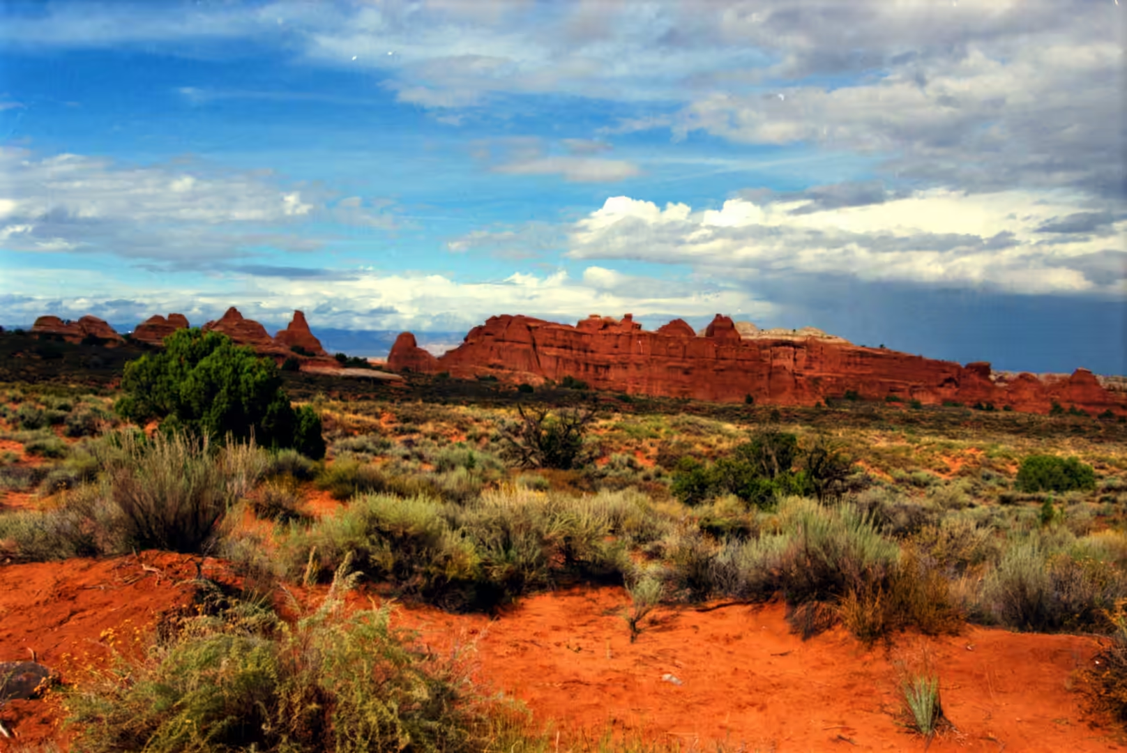
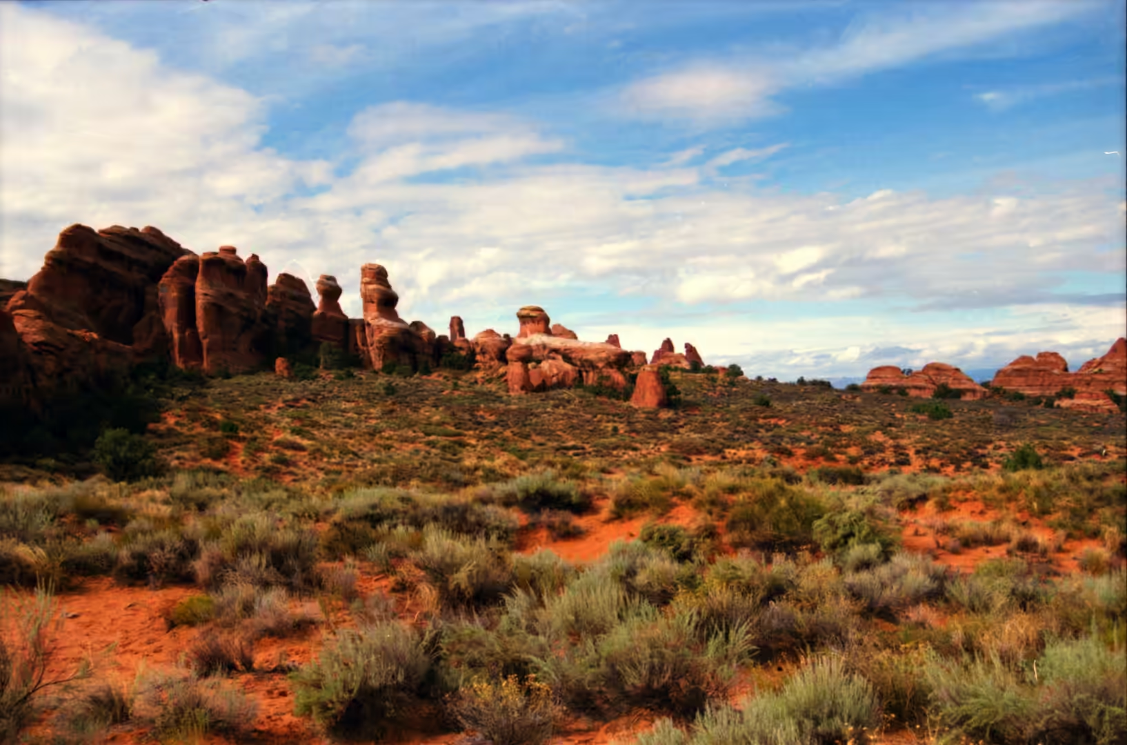
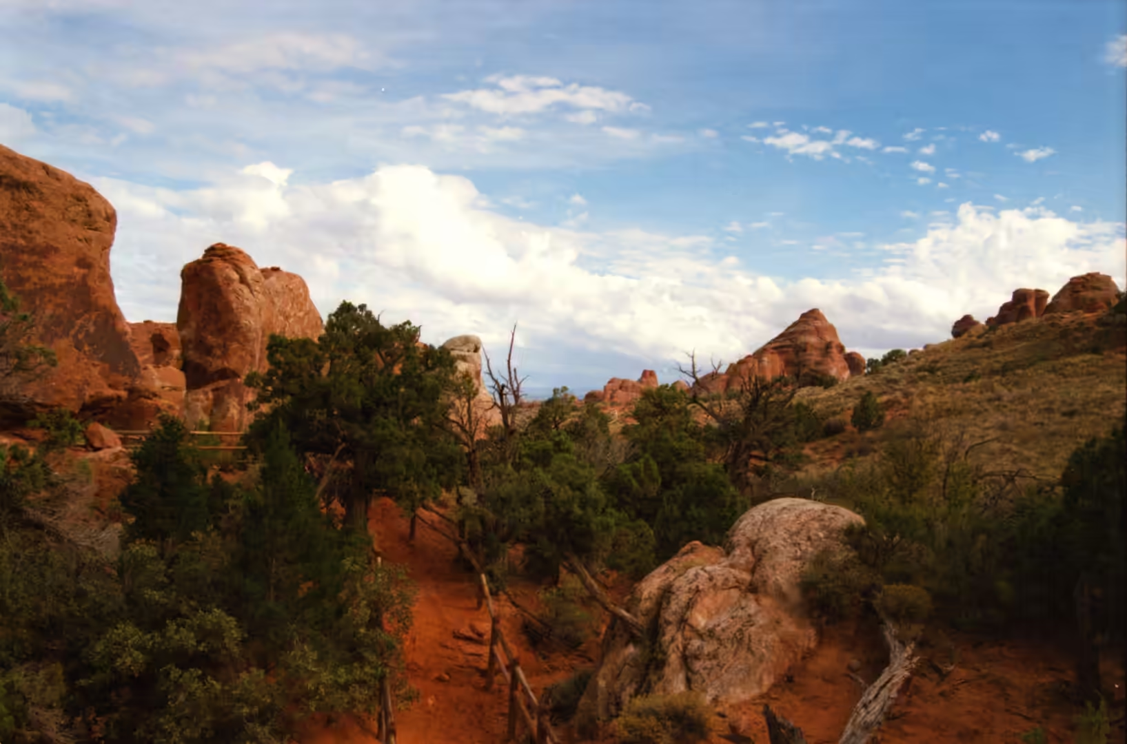
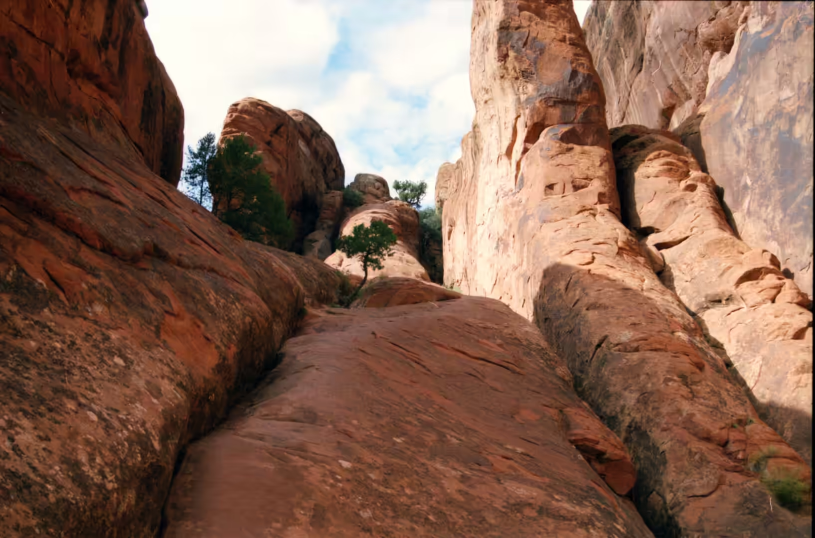
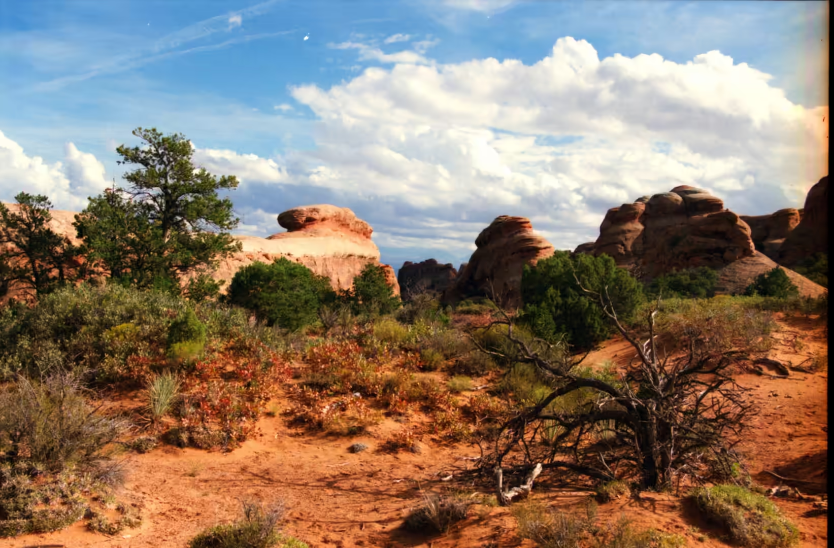
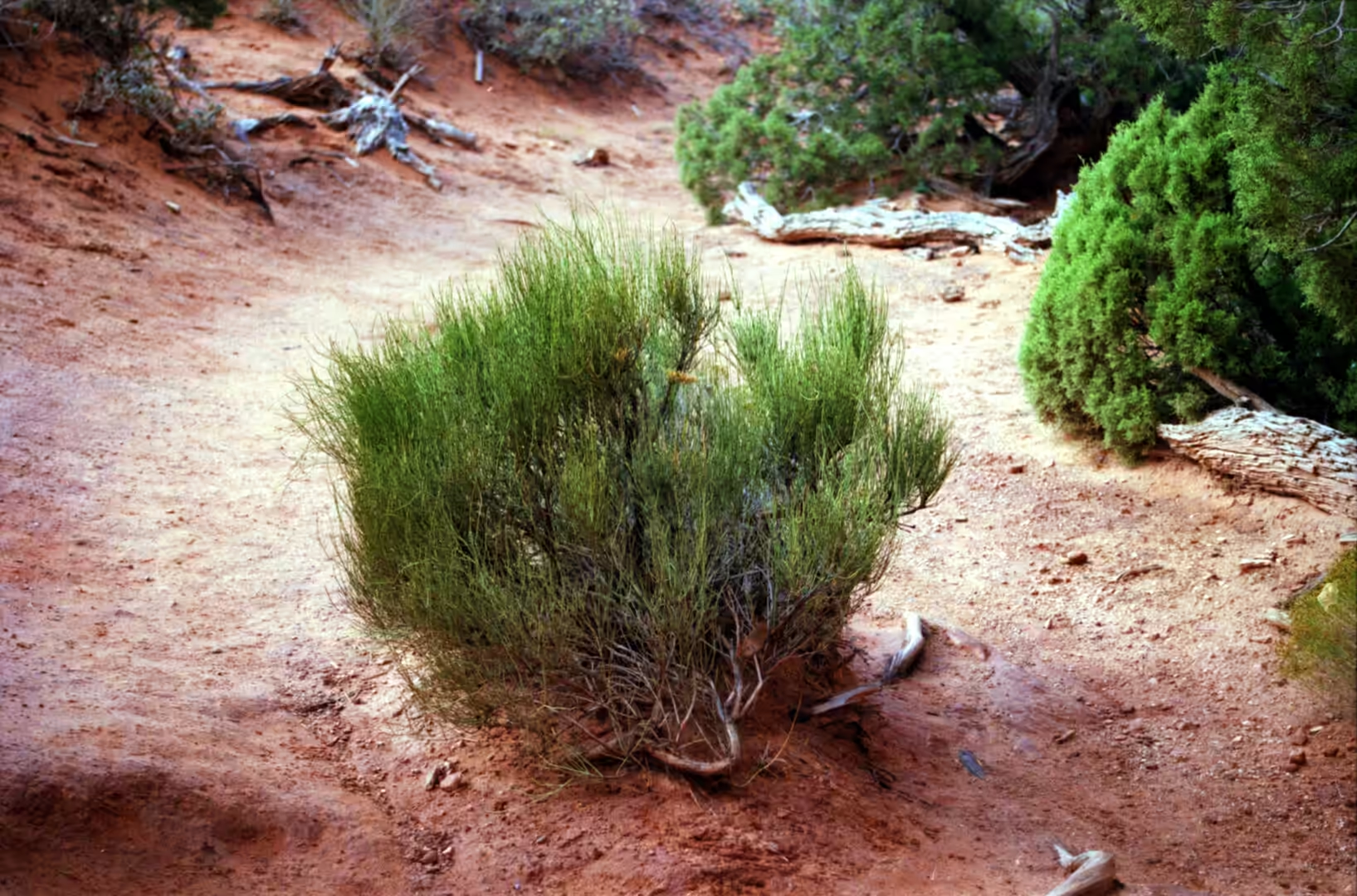
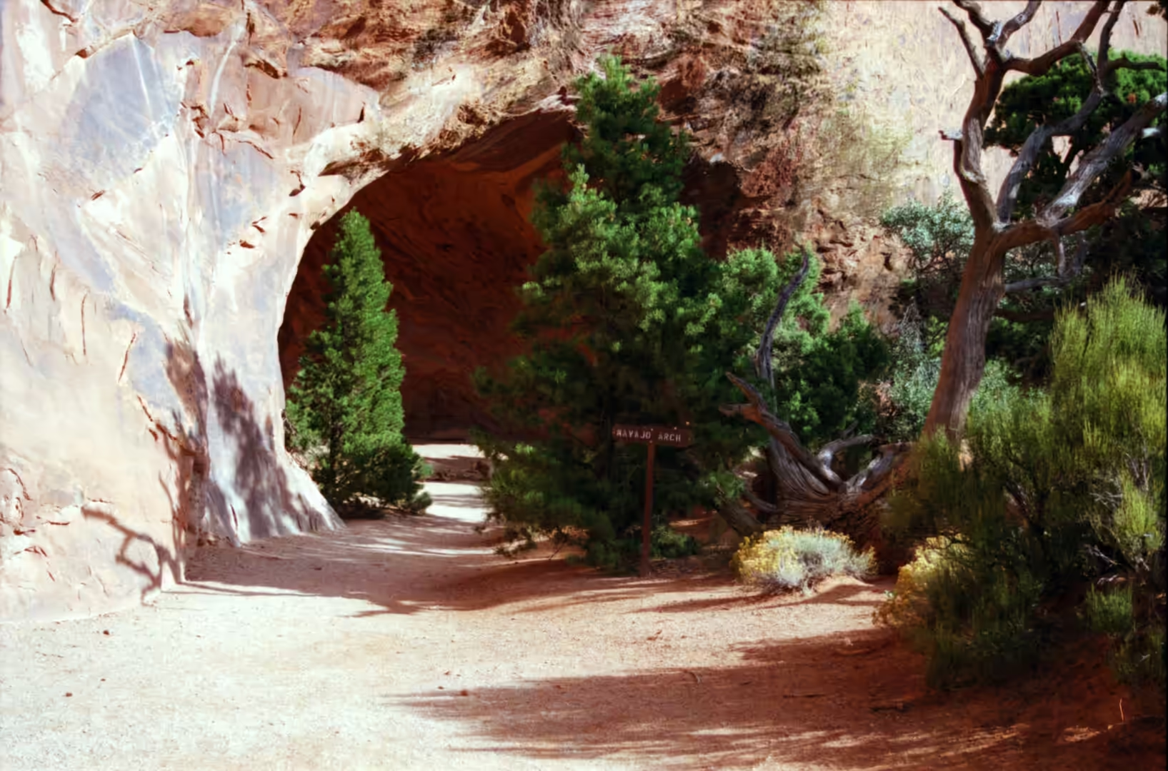
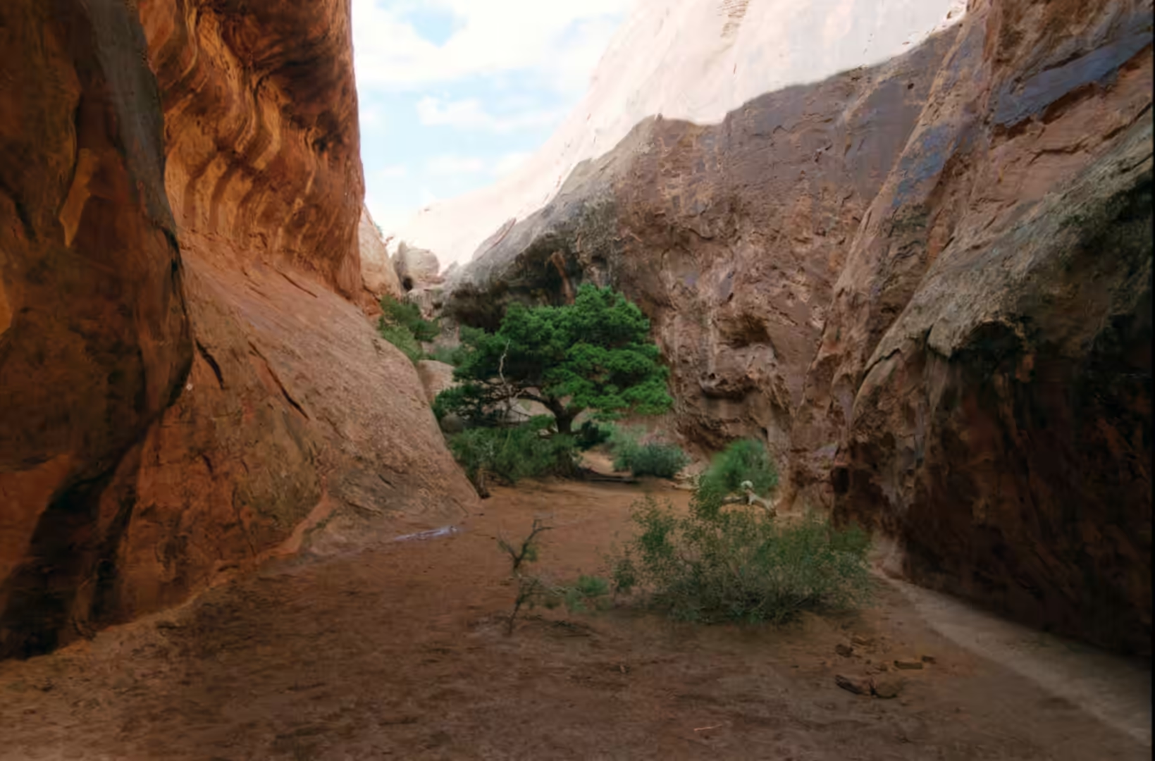
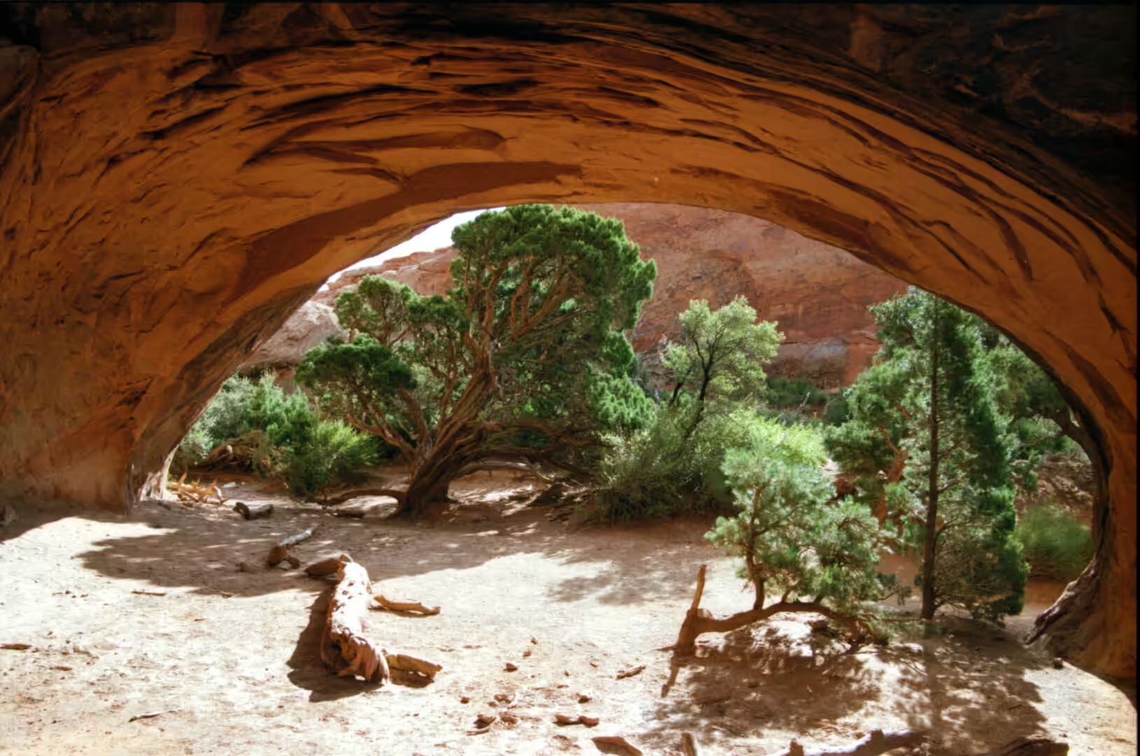
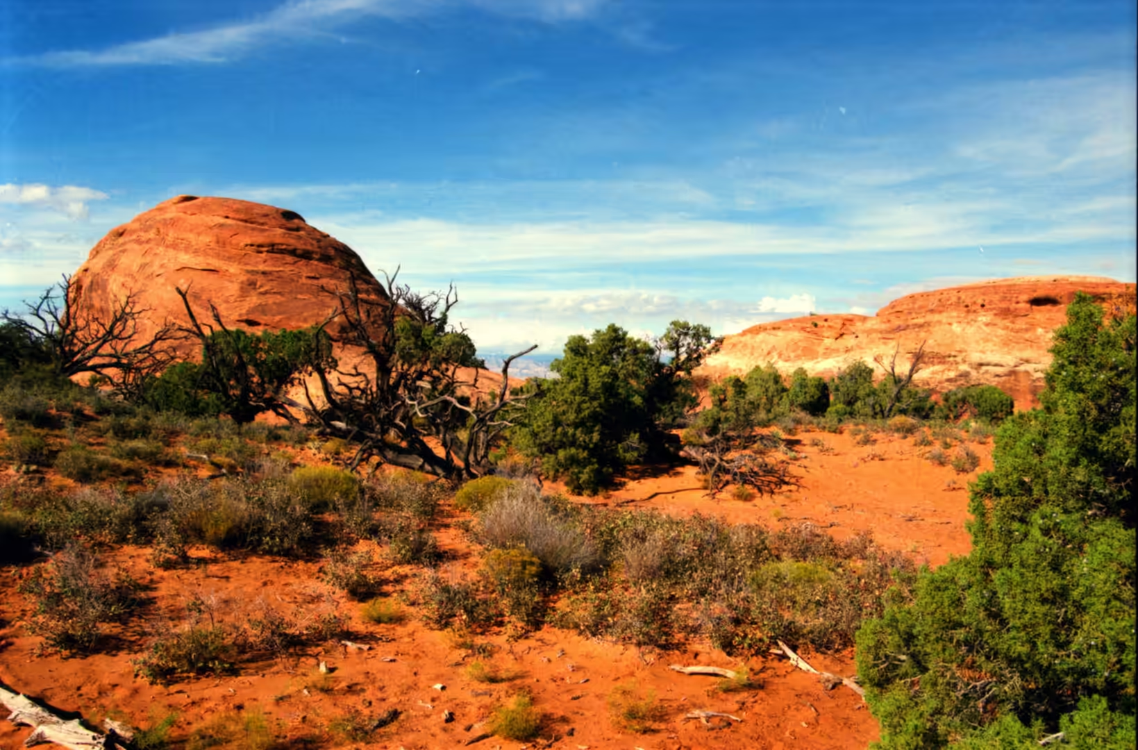
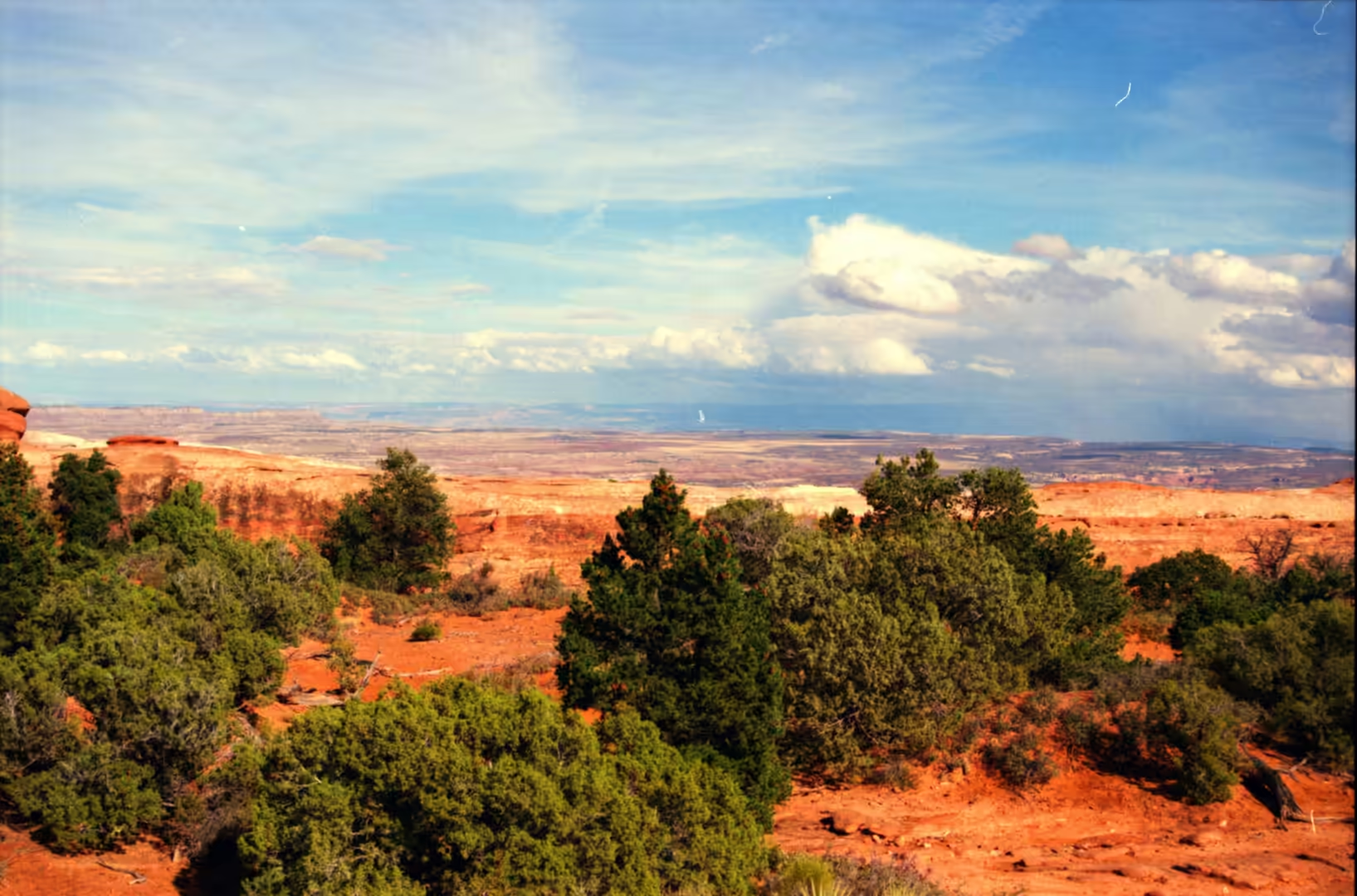
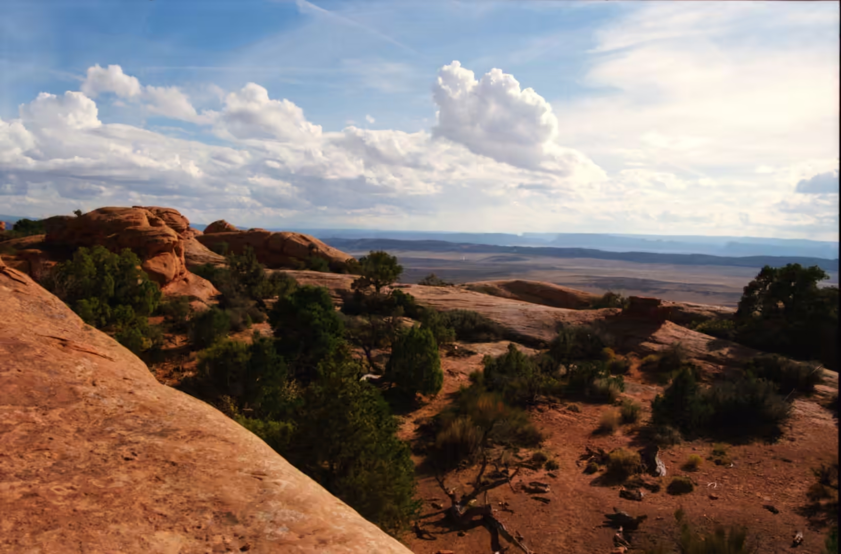
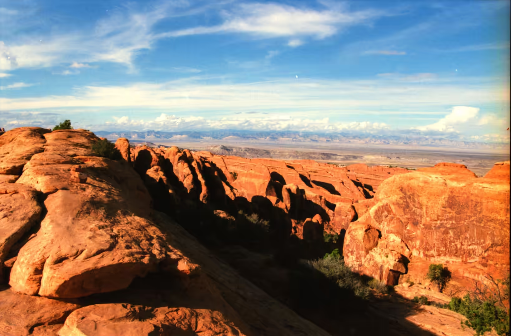
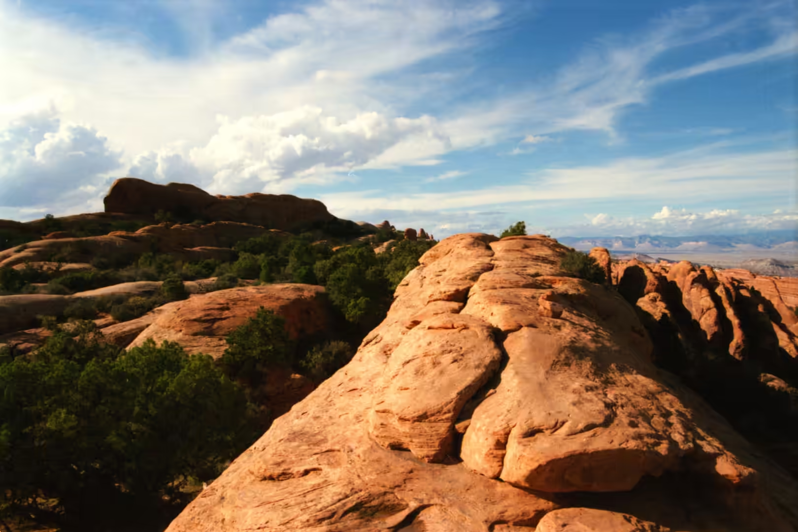
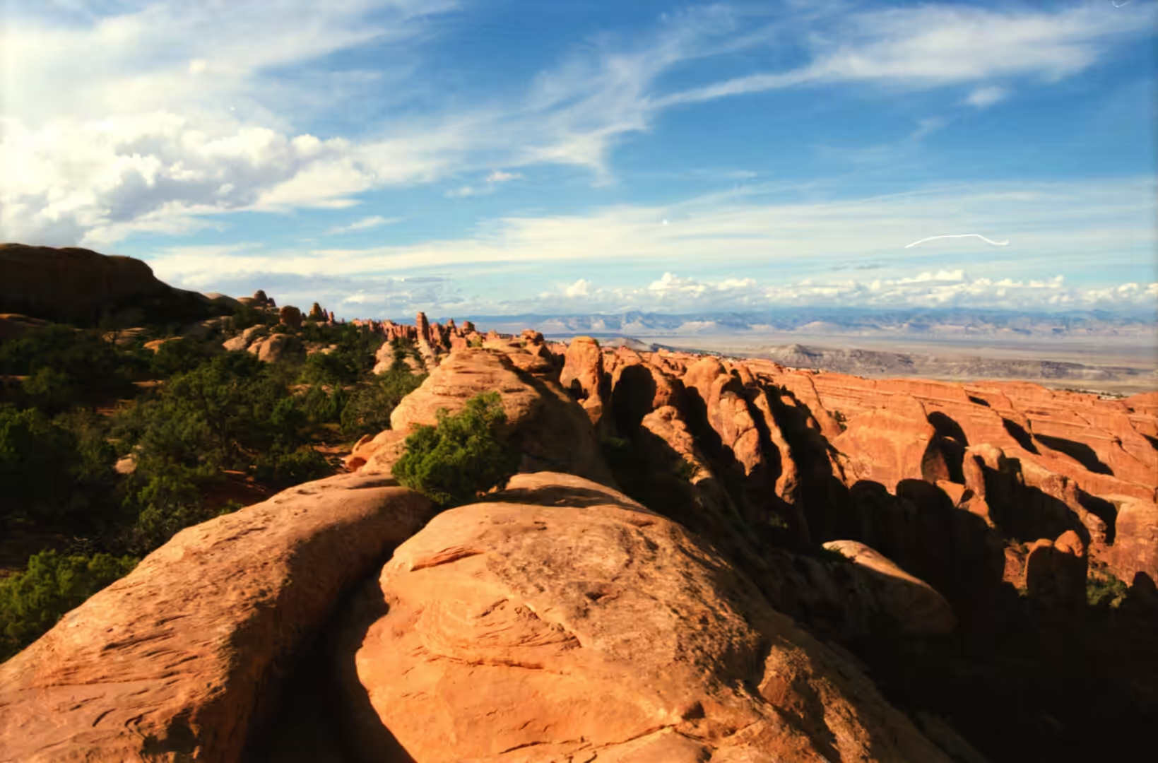
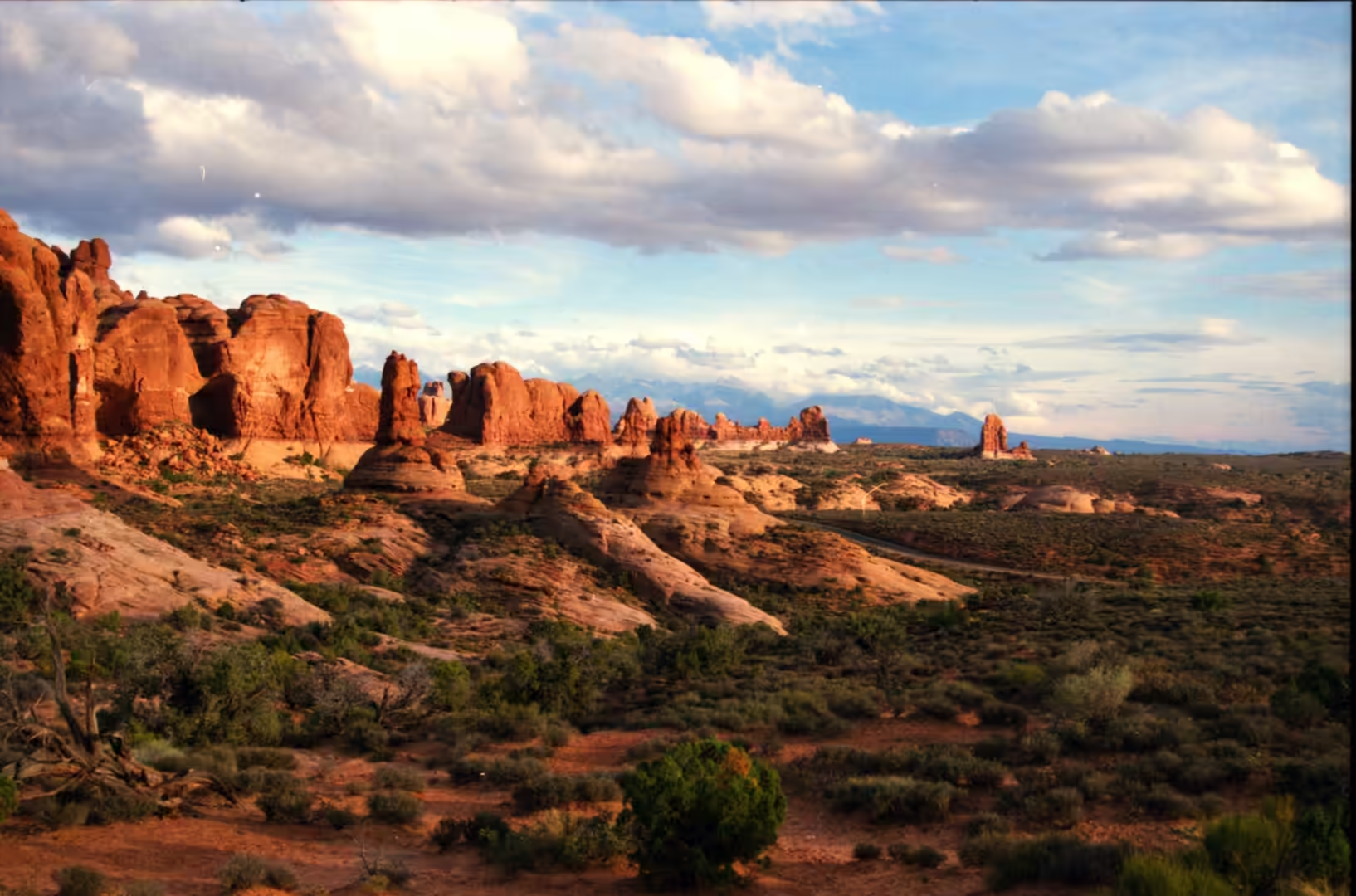
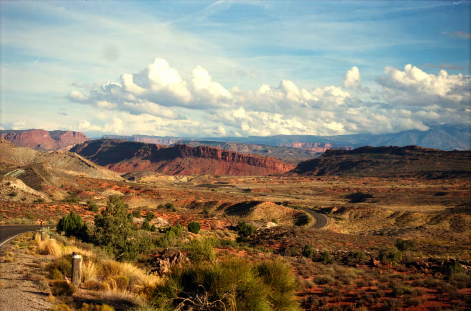
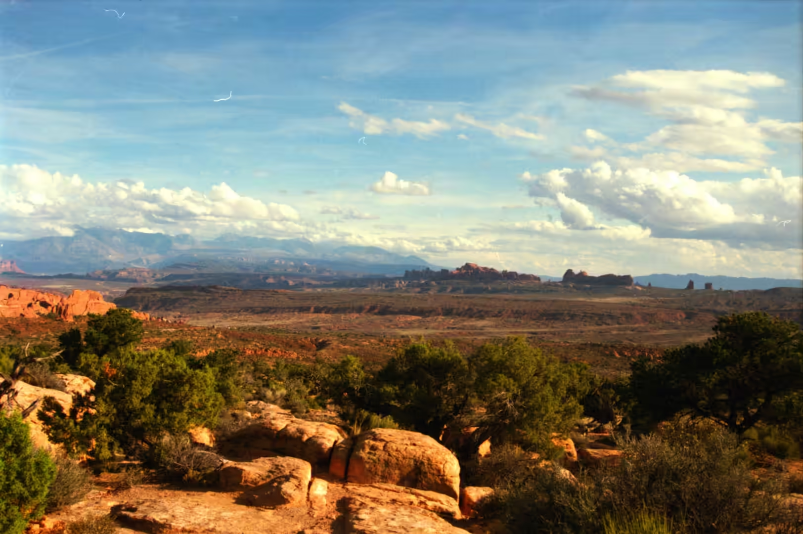
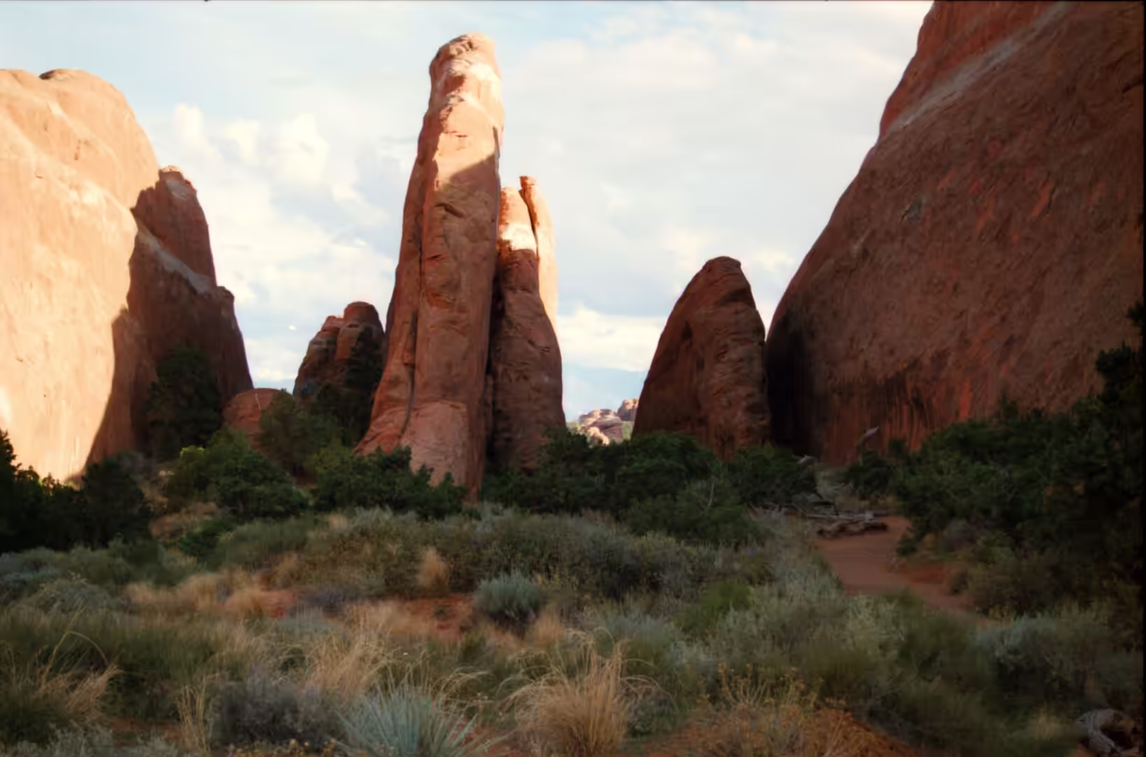
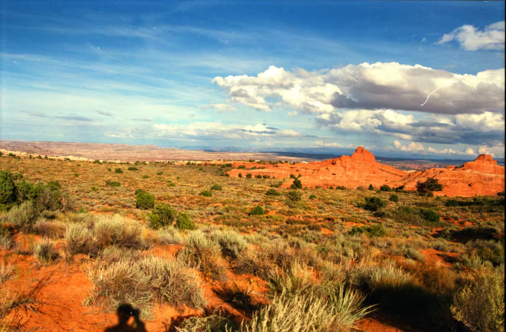
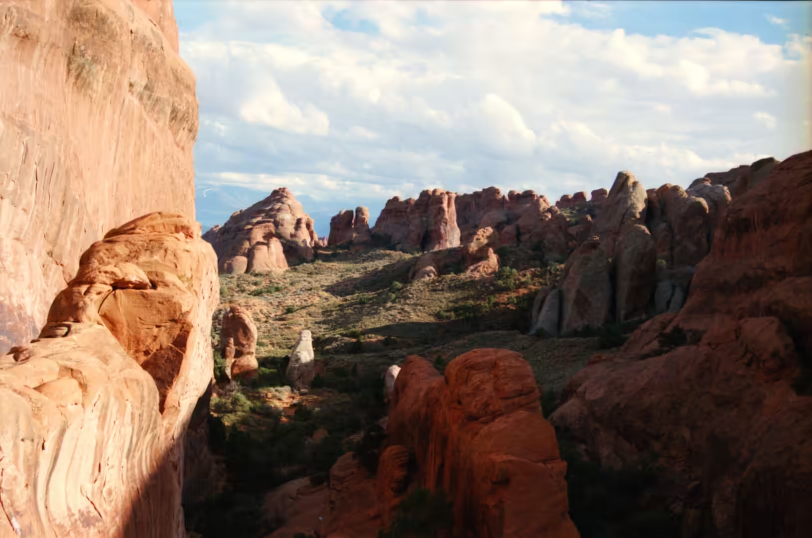
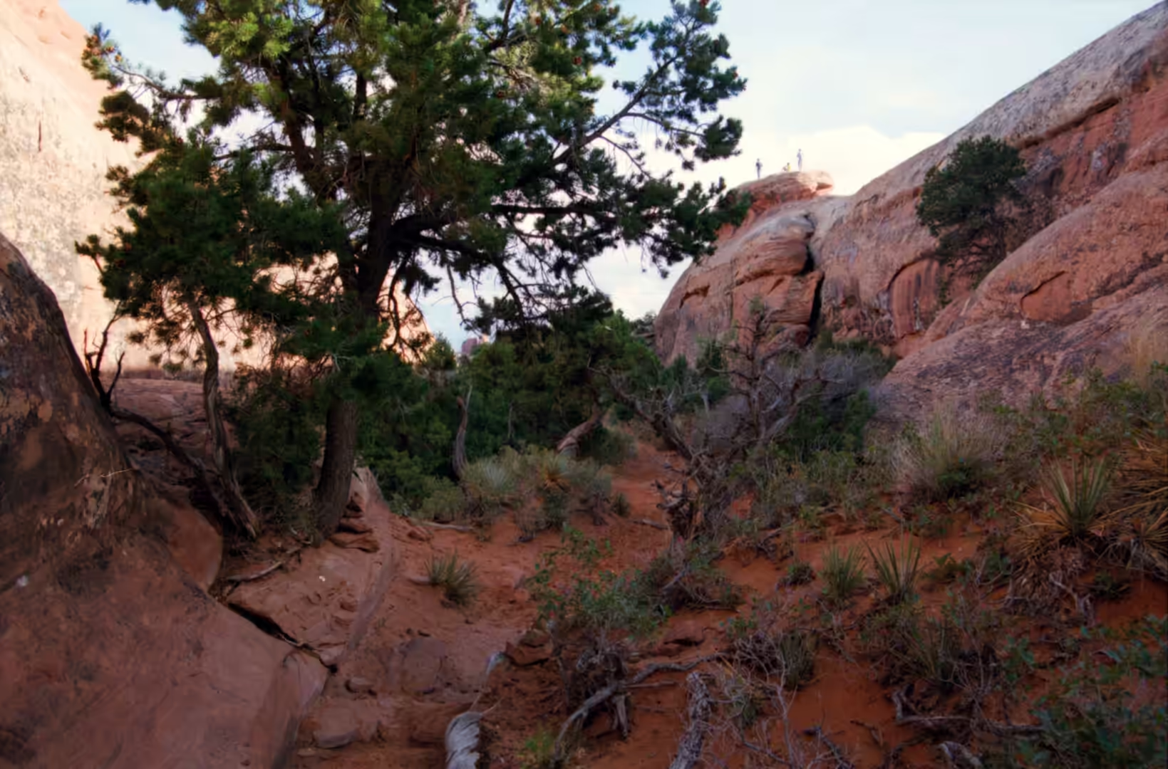
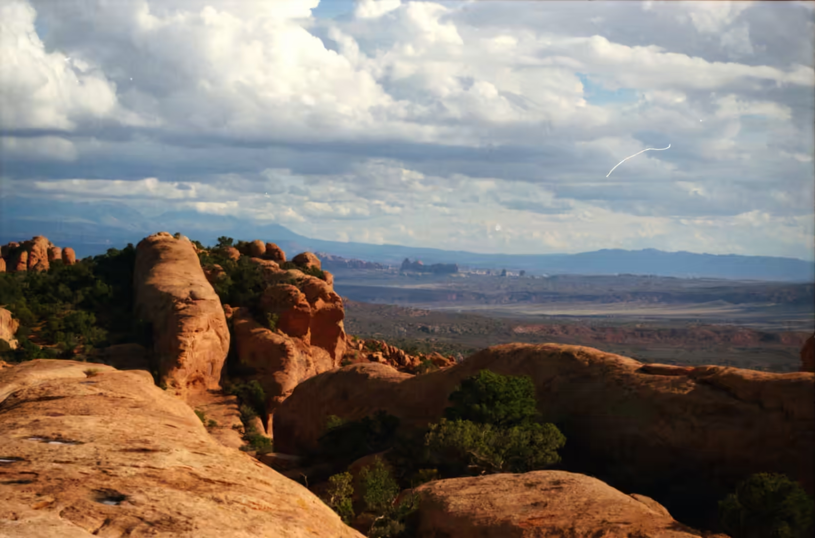
The sixth album returns to the arches, and to the ground they stand on. Its subjects are a crack between smooth sandstone walls, a trail of red sand crossing a slab of bare rock, a lizard on sandstone, a white blossom on a prickly pear, a twisted gnarled juniper beside a path, a green tree framed by rock, towers of red sandstone rising past a road sign, a small spring below a cliff, and a wide valley seen from a rim with a river winding through it. The country is the same Entrada Sandstone as in the first album, but the pictures are taken closer in, at the scale of a walk rather than of a panorama.
Arches National Park holds more than 2,000 natural sandstone arches, the greatest density in the world, together with spires, fins, balanced rocks and eroded monoliths, in an area of 310.31 square kilometres of high desert on the Colorado Plateau a few miles north of Moab. The park was declared a national monument in April 1929 and became a national park on 12 November 1971. It receives fewer than 250 millimetres of rain a year, has its highest ground at Elephant Butte and its lowest at the visitor centre, and has grown steadily in popularity, passing 1.8 million visitors in 2021.
The structure beneath the whole area is the reason for the arches. An underground evaporite layer, a salt bed left by seas that dried out repeatedly, lies beneath the sandstone and behaves as salt does under pressure: it flows. As the salt moved it bent and cracked the younger layers above it, and water, frost and wind then worked on the joints, dividing the rock into the long thin walls called fins and hollowing them into openings. More than 1,500 metres of younger sediment once lay above the salt and has mostly been removed by erosion, which is why the arches are visible at the surface instead of buried.
The rock layer that does the work is the Entrada Sandstone of Middle Jurassic age, made up of mudstones and siltstones laid down by rivers and sandstones laid down by wind, extending across the Colorado Plateau and named in 1928 after Entrada Point in the San Rafael Swell. It is divided into members, and the two that decide the local scenery are the harder Slick Rock Member, which forms the spans and caps, and the softer Dewey Bridge Member beneath it, which erodes faster and produces the pedestals and the undermined ledges. The sandstone preserves the cross bedding of the dunes it was built from, so the walls show the internal slope of the original sand.
History
The human record here reaches back about ten thousand years. Hunter gatherers came into the country at the end of the last ice age and worked the chert and chalcedony they found in Courthouse Wash and Salt Valley into stone tools, and about two thousand years ago some groups began to farm, with ancestral Puebloan farming in the region reaching its height between 500 and 1300 AD. Few dwellings have been found inside the park, because the ground offers little shelter, but the travel routes and the worked stone remain, and the Ute left petroglyphs that can be seen beside the trail to Delicate Arch.
The exploration and naming of the park belongs to the early twentieth century. Landscape Arch, in the Devils Garden, was named by Frank Beckwith, who led an expedition through the area in the winter of 1933 and 1934, and other features were named by the surveyors, ranchers and promoters who worked the country in the same period. Delicate Arch had earlier been known to local cowboys as the Chaps and as the Schoolmarm’s Bloomers, and was also called Bloomers Arch, Marys Bloomers, Old Maids Bloomers, Pants Crotch, Salt Wash Arch and School Marms Pants. It played no part in the original designation of the monument, which was made for the scenery as a whole.
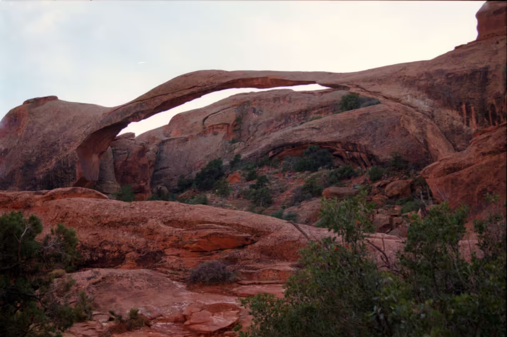
The park exists in part because of what was being lost. Collecting of rock, artefacts and plant material was uncontrolled in the early years, and the same period brought the first scientific interest in the features. The monument was enlarged over the following decades and became a national park in 1971. In recent years the park has recorded the failure of its own landmarks: a large slab fell from Landscape Arch in 1991 and two more large rockfalls followed in 1995, after which the ground beneath the span was closed, and a smaller companion to Balanced Rock known as Chip Off the Old Block collapsed in the winter of 1975 and 1976.
The modern management of the park is largely about feet. Visitation has grown to the point where the main road and the car parks at the Windows and Delicate Arch fill early in the day, and the protection of the ground has become a practical as well as a symbolic matter. Because much of the park is bare rock, walking is easy; because the soil between the rock is alive and fragile, walking off the trail is not. Signs, barriers and ranger advice work on the same principle, and the result is a park in which the visitor is asked to treat the surface itself as the thing being protected.
Geology
An arch is the last stage of a wall. The sandstone of the plateau is jointed in parallel fractures, and water entering the joints separates the mass: it freezes and thaws, dissolves the cement between the grains and carries material away, until what was solid is divided into fins. A fin standing free is attacked from both sides, and when the hollows on its two faces meet, an opening exists. The opening widens as its span is thinned, and when the span falls the two stumps that remain are the end of the sequence. Everything in the park is somewhere along that line, from a crack in a wall to a stump beside the road.
The Devils Garden is the clearest place to see fins. It is a ridge along which many arches and columns are scattered in a line, with trails following the top of the rock between them, and the parallel walls give a sense of how the openings begin. Landscape Arch, in the same area, is the longest arch in the park, with a span measured in 2004 at about 290 feet at a height of 77.5 feet and considered by the Natural Arch and Bridge Society the fifth longest natural arch in the world, after four in China. The Fiery Furnace, nearby, is a district of maze like narrow passages and tall rock columns where the joints have been widened into corridors, and it is entered only with a permit or a ranger.
Other forms in the park come from the same materials arranged differently. Balanced Rock is a block of the hard Slick Rock Member standing on a column of the softer Dewey Bridge Member, 39 metres high with the balancing block rising about 17 metres and weighing approximately 3,577 tons, the largest of its kind in the park. Double Arch, in the Windows section, is two openings that share a common end. The Windows themselves are arches formed in a single wall, and the park lists many more: Broken Arch, Skyline Arch, Double O Arch, Navajo Arch, Partition Arch, Pine Tree Arch, Tunnel Arch, Sand Dune Arch and the Three Gossips among them.
The ground between the rock is a living surface. A biological soil crust of cyanobacteria, lichens, mosses, green algae and microfungi lies over much of south eastern Utah, holding the soil against wind and water and fixing nitrogen for the plants that grow in it. The vegetation above the crust includes prickly pear, Indian ricegrass, bunch grasses, cheatgrass, yucca, four winged saltbush, pinyon pine, evening primrose, sand verbena and sacred datura. The animals that live among it are mostly small and mostly hidden: collared lizards on the rocks, yucca moths on their plant, midget faded rattlesnakes and western rattlesnakes in the brush. One footprint in the crust can destroy decades of growth, which is why the trails exist.
Things to See
The Windows section is where most visits begin. Several arches stand within a short walk of one another on flat ground, including Double Arch, and the paths are short and easy, which makes this the busiest part of the park. From the car park the rock walls rise on both sides with towers above them and a road sign in the foreground, and a short walk in any direction brings the visitor to an opening. In the middle of the day the rock is hot and the shade is scarce, so the early morning is the better time for the same walk.
The Devils Garden trail is the longer outing and the one that shows the park in sequence. The route crosses slickrock between fins, passes Landscape Arch and continues to Double O Arch and beyond, with sand and bare rock alternating underfoot and juniper and pinyon growing in the joints. Farther on the trail becomes rougher, with sections of scrambling and exposure, and it is worth turning back when the going stops being a walk. Near the start a crack between smooth walls leads into a channel of shadow, one of the small features that is easy to pass without noticing.
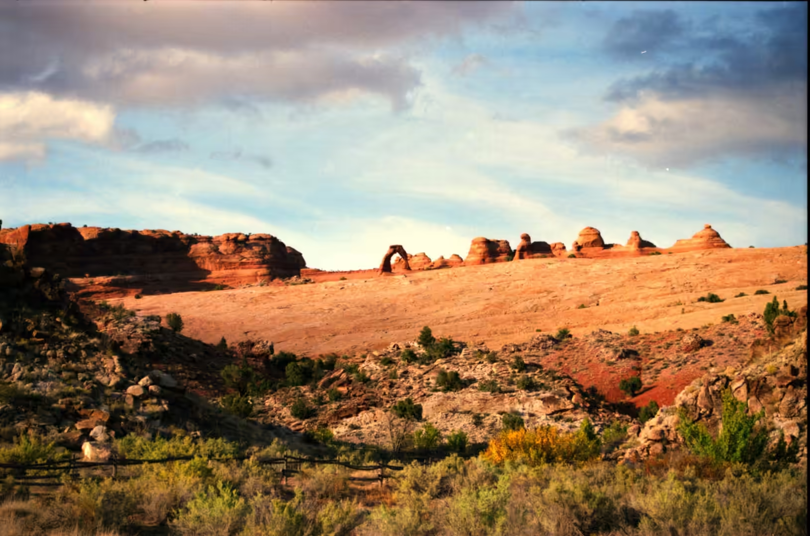
Delicate Arch is the walk the day should be built around. It stands free on the rim of a bowl of slickrock, reached by a steady climb of about three miles with little shade, or by a shorter walk to a lower viewpoint from which the arch is seen across the canyon. The arch is shown on the Utah licence plate and on a postage stamp for the centennial of statehood, and the torch relay for the 2002 Winter Olympics passed through it. In the last hour of light it turns from pale orange to deep red while people gather on the opposite ledge, and the path back is walked in the dark.
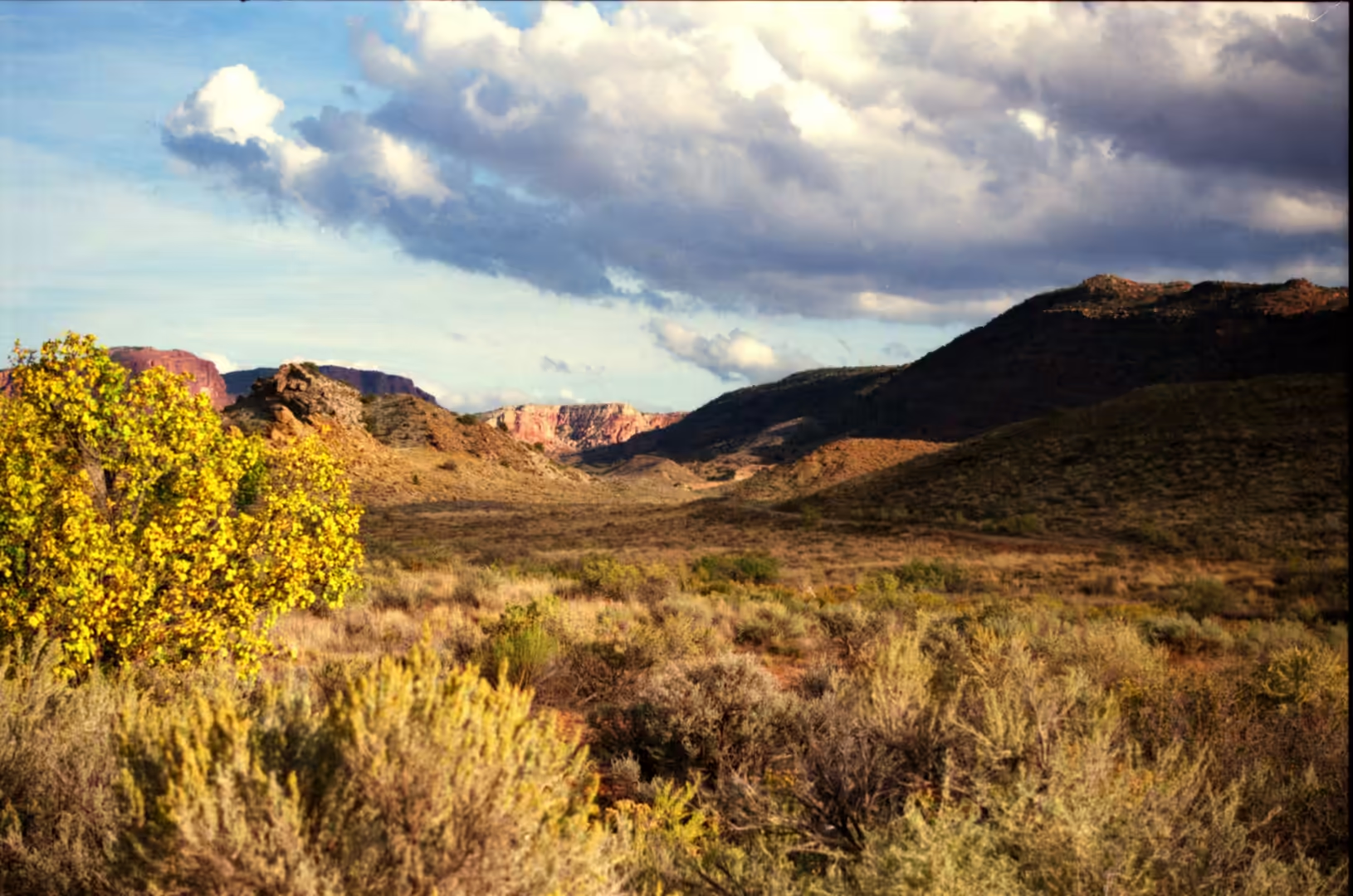
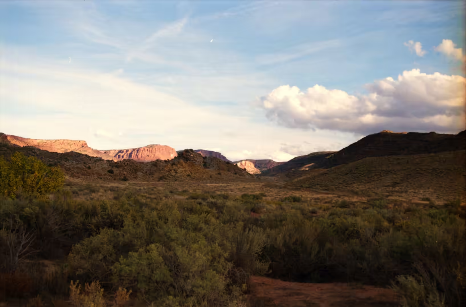
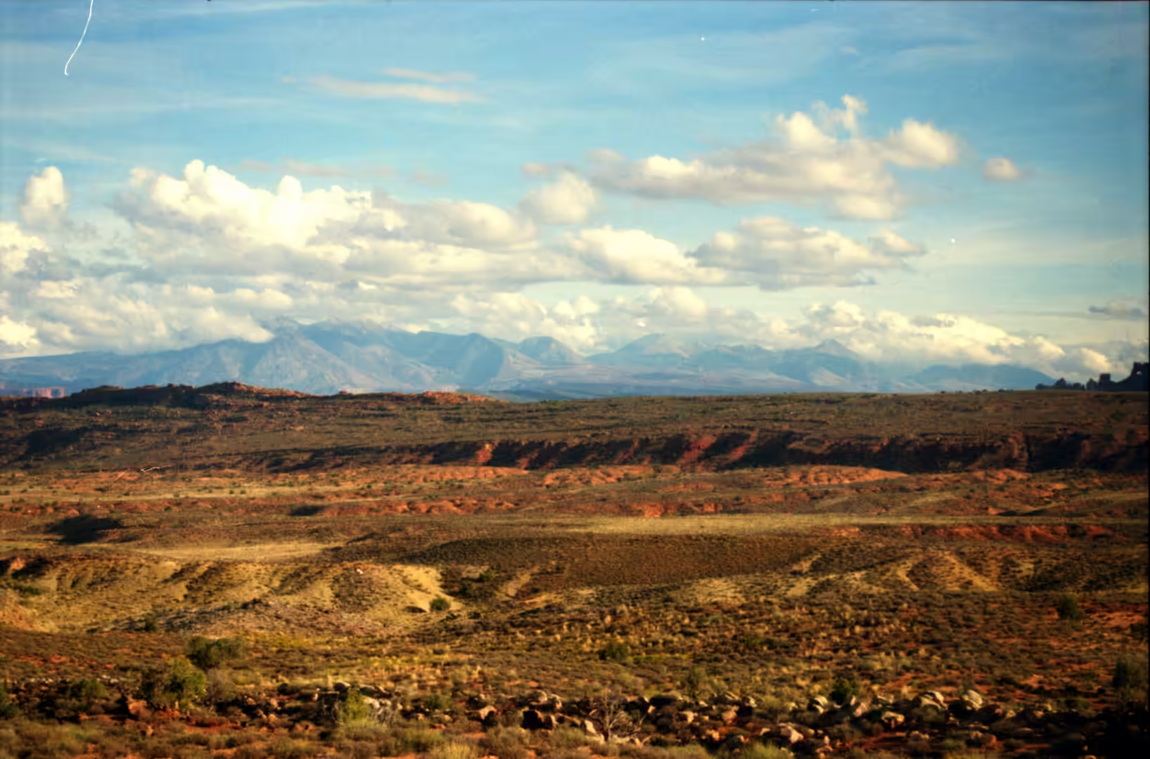
The smaller things are what the album is made of, and they are the reason to walk slowly. A trail of red sand crossing a slab of bare rock, a lizard on a warm stone, a white blossom on a prickly pear, a gnarled juniper beside a path, a green tree framed by red rock, a small spring below a cliff and a wide valley seen from a rim with a river winding through it: each is a part of the same system, and none of them is visible from a car. Walking in this country is a matter of looking down as much as looking up, and the reward is a landscape that makes sense at the scale of a few metres, which is not how the arches themselves are usually seen or remembered.
References
- Cruikshank, K. M. & Aydin, A. (1994). Role of fracture localization in arch formation, Arches National Park, Utah. Geological Society of America Bulletin 106, 879-891. doi.org/10.1130/0016-7606(1994)106<0879:roflia>2.3.co;2
- Cruikshank, K. M. & Aydin, A. (1995). Unweaving the joints in Entrada Sandstone, Arches National Park, Utah, U.S.A.. Journal of Structural Geology 17, 409-421. doi.org/10.1016/0191-8141(94)00061-4
- Scoon, R. N. (2021). Arches National Park and Dinosaur National Monument, Eastern Utah. The Geotraveller: Geology of Famous Geosites and Areas of Historical Interest. doi.org/10.1007/978-3-030-54693-9_2
- Wikipedia contributors (2026). Arches National Park. en.wikipedia.org/wiki/Arches_National_Park
- Wikipedia contributors (2026). Balanced Rock. en.wikipedia.org/wiki/Balanced_Rock
- Wikipedia contributors (2026). Biological soil crust. en.wikipedia.org/wiki/Biological_soil_crust
- Wikipedia contributors (2026). Collared lizard. en.wikipedia.org/wiki/Collared_lizard
- Wikipedia contributors (2026). Delicate Arch. en.wikipedia.org/wiki/Delicate_Arch
- Wikipedia contributors (2026). Entrada Sandstone. en.wikipedia.org/wiki/Entrada_Sandstone
- Wikipedia contributors (2026). Fiery Furnace (Arches National Park). en.wikipedia.org/wiki/Fiery_Furnace_(Arches_National_Park)
- Wikipedia contributors (2026). Fin (geology). en.wikipedia.org/wiki/Fin_(geology)
- Wikipedia contributors (2026). Landscape Arch. en.wikipedia.org/wiki/Landscape_Arch
- Wikipedia contributors (2026). Moab, Utah. en.wikipedia.org/wiki/Moab,_Utah
- Wikipedia contributors (2026). Natural arch. en.wikipedia.org/wiki/Natural_arch