2015 Morocco - Analogue Pictures 1


Journal Notes
General
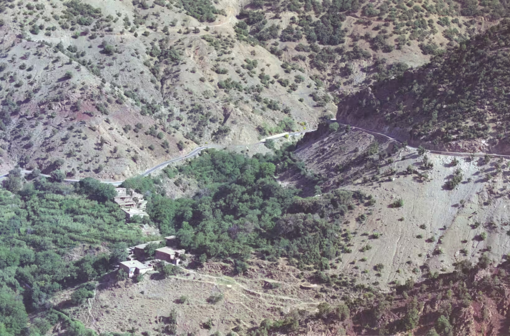
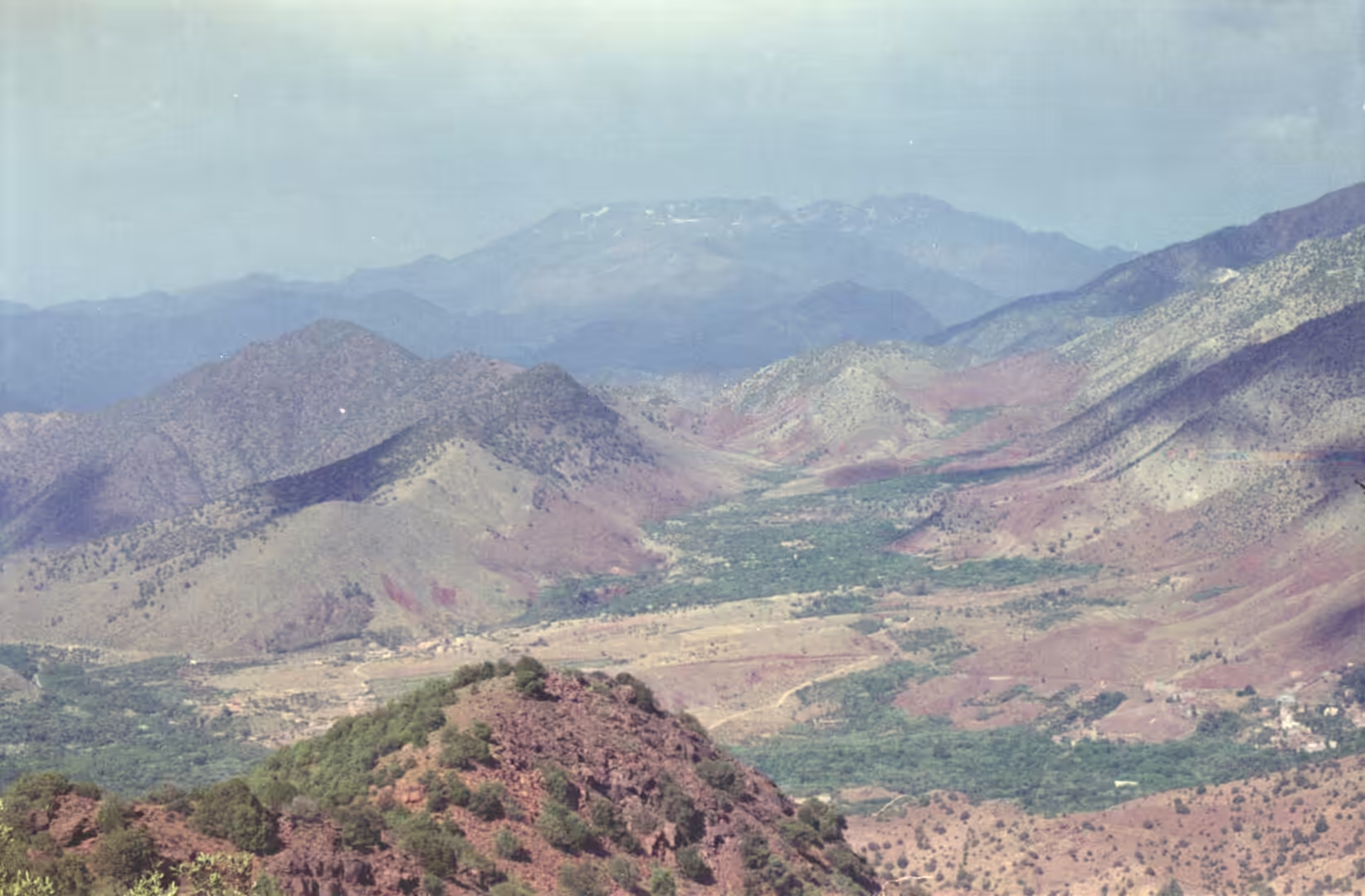
The road south from Marrakesh crosses the High Atlas at the Tizi n’Tichka, and the pass marks the point where the journey changes character. The road links the south east of Marrakesh with Ouarzazate and is the highest major mountain pass in North Africa. A sign at the summit has long given an elevation of 2,260 metres, while a GPS reading taken on 30 November 2022 put the top of the road at about 2,205 metres, a figure confirmed by satellite terrain models. The surface was laid by the French military in 1936 along the old caravan trail and now forms part of National Route 9. Snow falls on the pass between November and March, and even in summer the air at the top is sharp while the plain below is hot. The crossing leads to Ouarzazate, the capital of its province in the Drâa-Tafilalet region and the usual starting point for the Draa valley and the desert beyond it. West of the city stands the fortified village of Aït-Ben-Haddou, a UNESCO World Heritage Site since 1987. Where the road begins to descend, terraced fields and scattered villages appear on both sides of the valley, and several peaks in the range around it rise above 4,000 metres, the highest of them Jbel Mgoun at 4,068 metres on the M’Goun side.
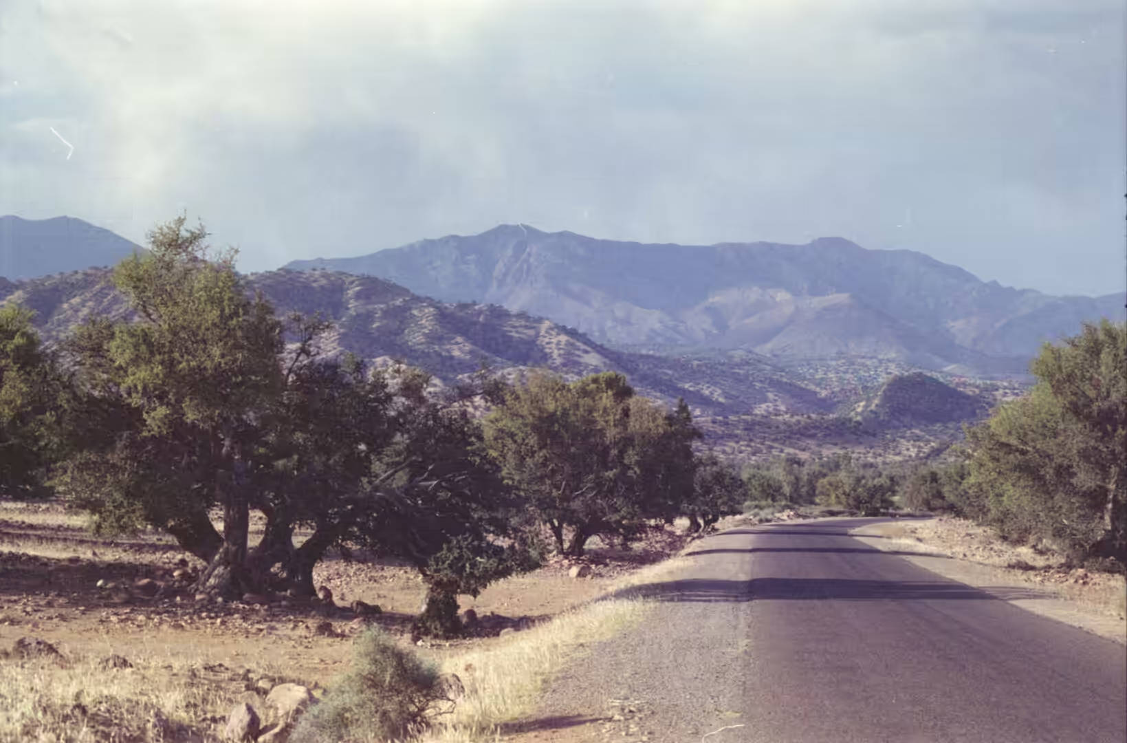
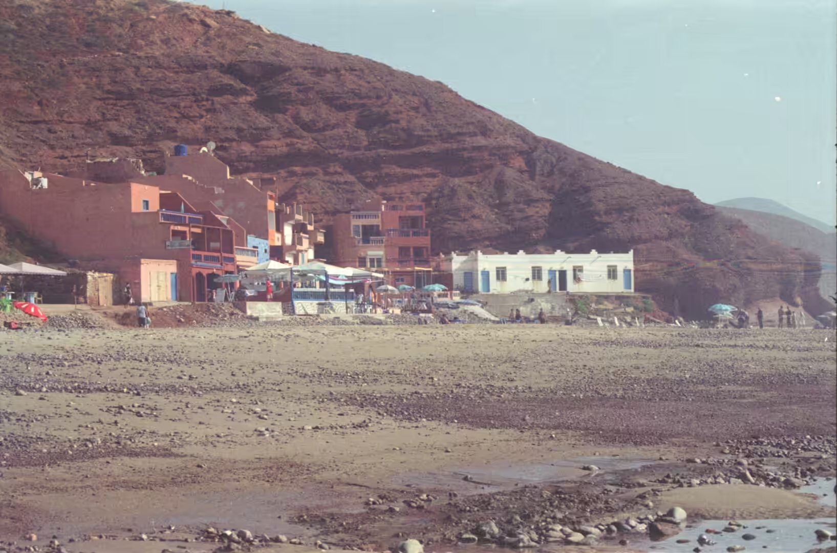
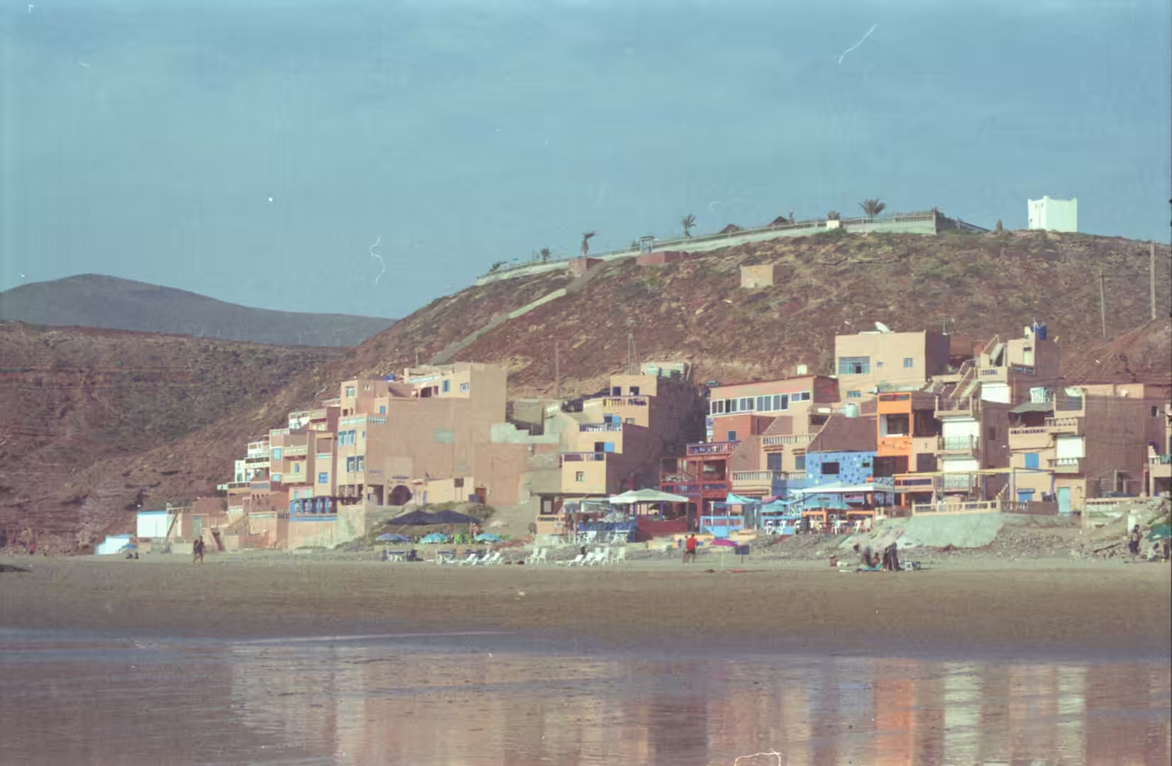
West of the mountains the High Atlas drops towards the Atlantic, and the last ridges meet the ocean along the stretch of coast known as the Haha country. Argan trees grow there on headlands and seaside cliffs, including Cap Sim, Cap Tafelney and Cap Ghir, together with wild olive and lentisc. The coast itself alternates between sandy bays and low cliffs of red rock. The small town of Mirleft sits on ocher coloured cliffs above the water and had a population of 7,026 at the 2004 census, living in 1,303 households. Further south, the bays north of Sidi Ifni are cut into sandstone that glows in the evening, and the fishing harbour there still lands what the day boats bring in.
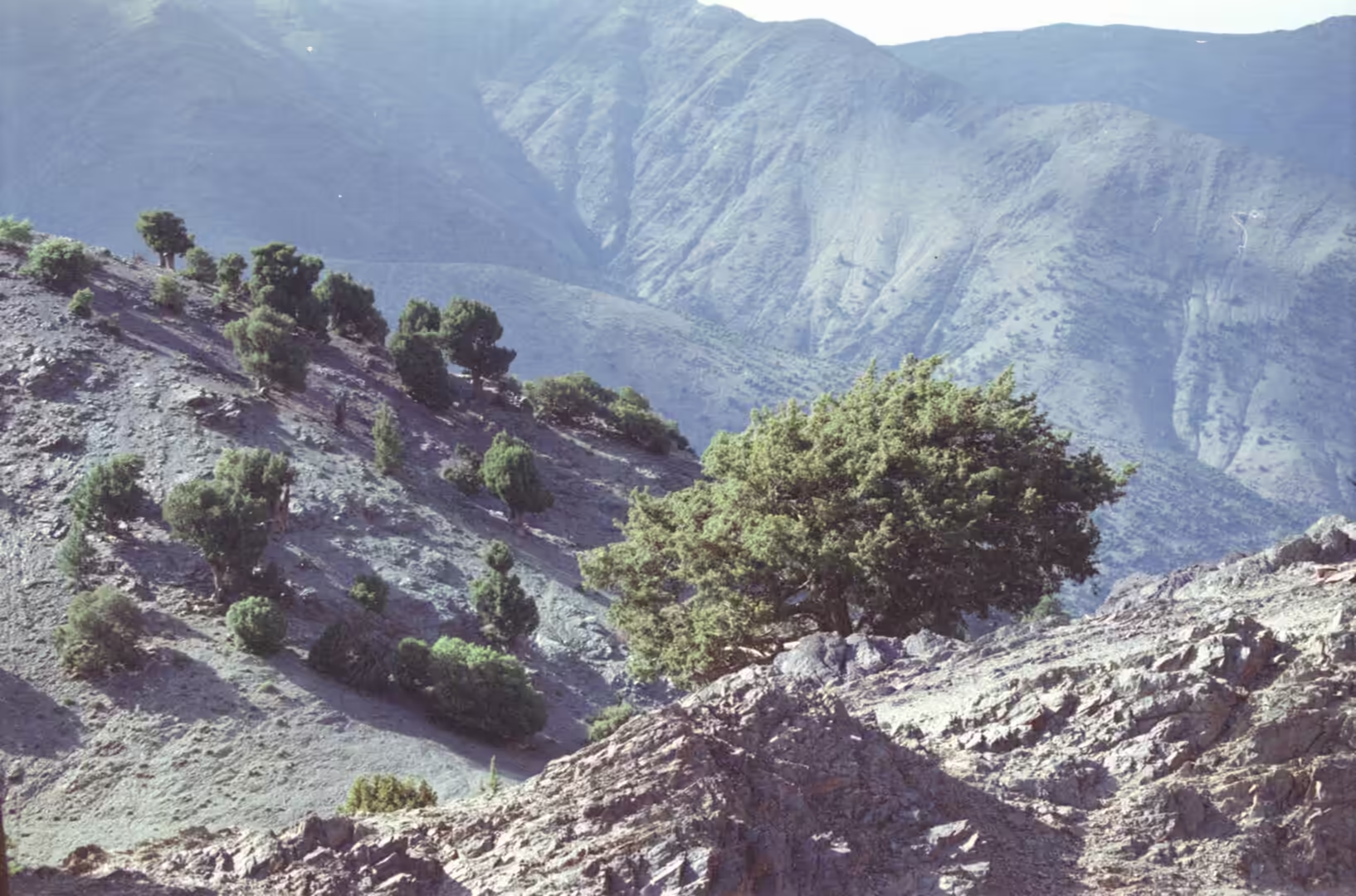
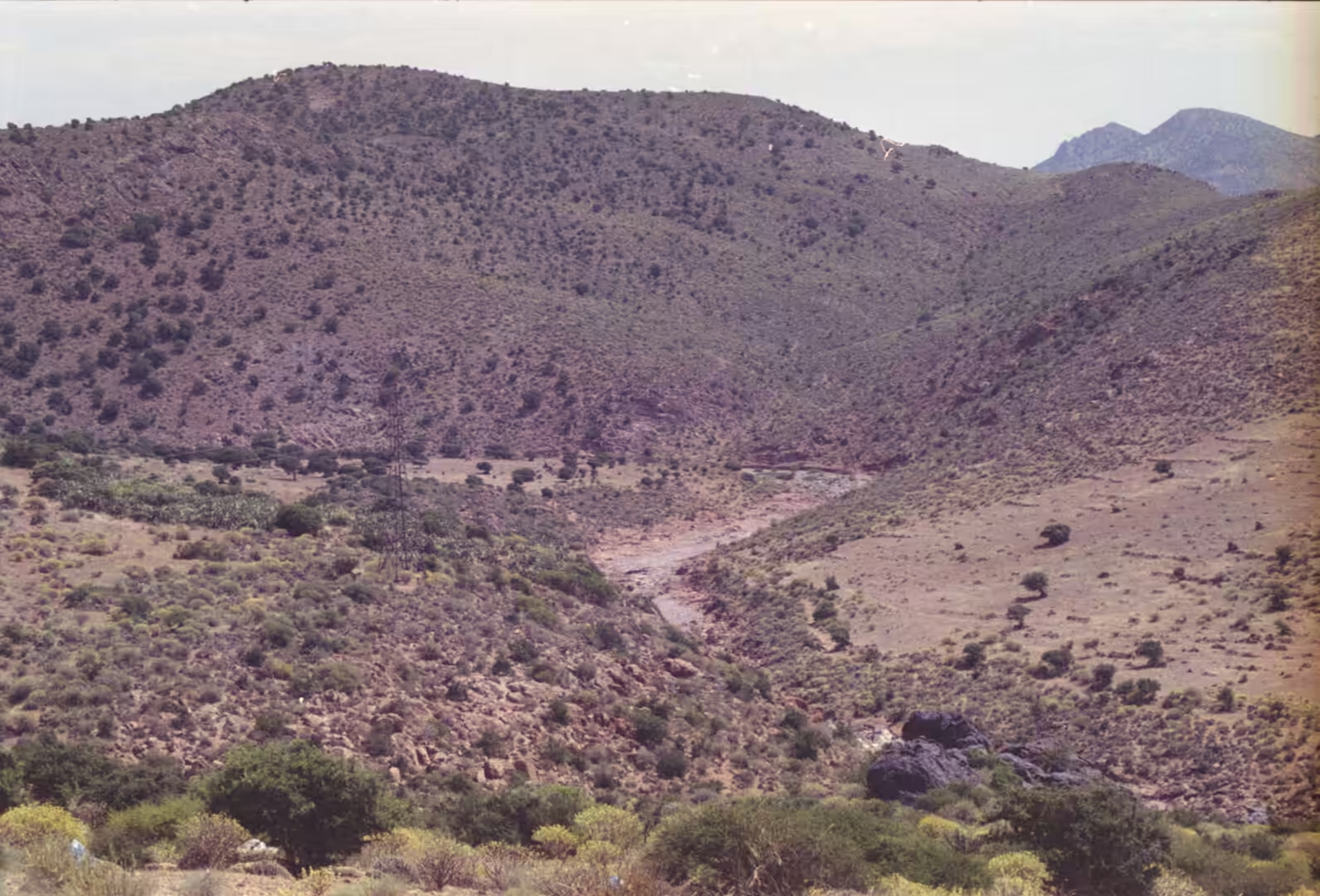
The two halves of this journey belong to different weather systems. The High Atlas runs east to west and acts as a barrier that separates the Sahara from the Mediterranean and continental zones to the north and west. South of the range the rainfall drops sharply and the valleys turn arid, while the coastal belt keeps a mild, damp climate with morning fog that feeds the argan woodland. Olives and almonds do well in the inland valleys, figs and argan along the shore. For a traveller moving from the pass to the sea in a single day, the change from bare mountain slopes to olive groves, dry riverbeds and then open ocean is the defining impression of this part of Morocco.
History
Mountain passes have always carried the traffic of southern Morocco. The Tichka road follows a caravan route that linked the plains around Marrakesh with the oases beyond the range, and control of that crossing was worth fighting for. The Almoravids crossed the High Atlas in 1058 and took Aghmat before moving north to found their capital at Marrakesh, and later dynasties used the same corridor to hold the south. Until the twentieth century the Tichka was the only road over this part of the range, and the crossing kept its character as a mule track for merchants, pilgrims and herders. Tarmac came only in 1936, when the French military built the present alignment, and the second modern crossing further east was surfaced much later.
Seasonal movement of flocks is the older economy of these valleys. Herders take animals up to the high pastures once the snow has gone from the mule passes, since mules and donkeys will not cross snow, and the ascent usually begins after Easter. The same families hold land on the valley floor for barley, olives and vegetables. On the coast, the pattern is different: fishing, small trade and, in the twentieth century, the politics of empire. Spain held Ifni as a possession from 1934 and only handed it back in 1969, while the abandoned Fort Tidli above Mirleft, built in 1935, remains as a marker of that period. Tiznit, founded further south in 1881 and walled soon afterwards, grew as the administrative centre of the region.
The mountains became a destination in their own right during the last century. The first recorded ascent of Jbel Toubkal was made on 12 June 1923 by the Marquis de Segonzac with Vincent Berger and Hubert Dolbeau, and the massif was measured in the following year. Toubkal National Park was created in 1942 and is now the most visited protected area in the country, with the usual route to the summit starting from the village of Imlil and taking two days with a night in a refuge. Skiing is possible at Oukaïmeden on the western side of the range. The coast has changed more slowly, and the argan groves that support the villages are now managed through a network of cooperatives that was set up in 2002.
Geology
The High Atlas, also called the Grand Atlas, is the highest part of the Atlas Mountains. It rises in the west at the Atlantic Ocean and runs east towards the Moroccan border with Algeria. To the south west the range falls away steeply towards the coast and the Anti-Atlas, while on the northern side, facing Marrakesh, the descent is gentler. Jbel Toubkal is the highest peak in Morocco, in the whole of North Africa and in the Arab world, and it stands inside Toubkal National Park. Much of the range is built of sedimentary rocks, but the Toubkal massif itself consists of volcanic rocks that have weathered into alpine crests cut by deep, narrow valleys. On the south side the mountain drops towards a small lake, Lac d’Ifni.
The range as a whole was lifted in three phases along a Precambrian basement that is exposed in places at the margins. The Tichka massif, crossed by the road, is a Palaeozoic plutonic body and is one of the classic examples of contemporaneous acidic and basic plutonism, described in detail by Vogel and Walker in 1975. A traveller notices the result without knowing the term. The pass separates two massifs of very different shape: the M’Goun, whose Tamazight name means windy mountain, has the soft forms of a Jurassic landscape, while the Toubkal side is markedly alpine. The name Tichka itself means pass of the pastures in Tamazight, which is a fair description of what the herders still use it for.
Weathering of the sandstone that forms many of the lower slopes has been studied in the High Atlas by Robinson and Williams, who described the sequence of salt, wetting and drying and frost processes that break the rock down, and the way in which resistant beds stand out as ledges and blocks. The same processes shape the dry valleys below the pass, where the beds of seasonal streams are lined with gravel and boulders and the slopes carry only scattered shrubs. Water from these catchments feeds the aquifer of the Haouz plain around Marrakesh, a system studied by Izarif and colleagues, who traced the contribution of the mountain watersheds to the groundwater that the city depends on.
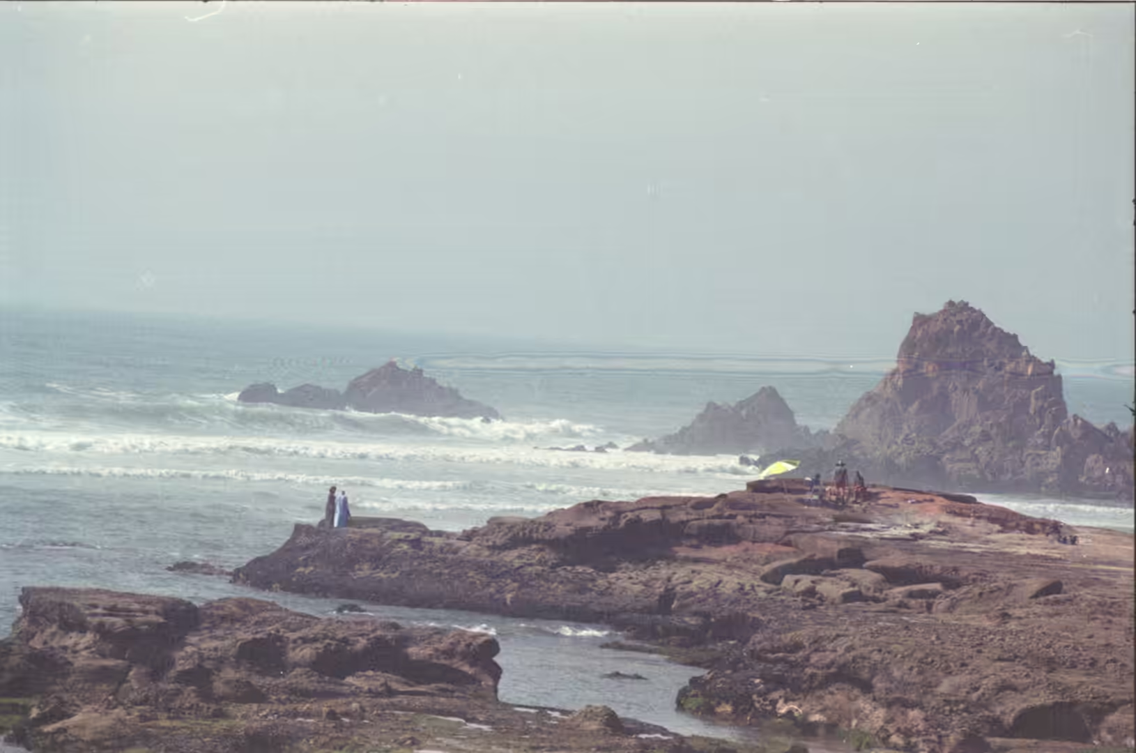
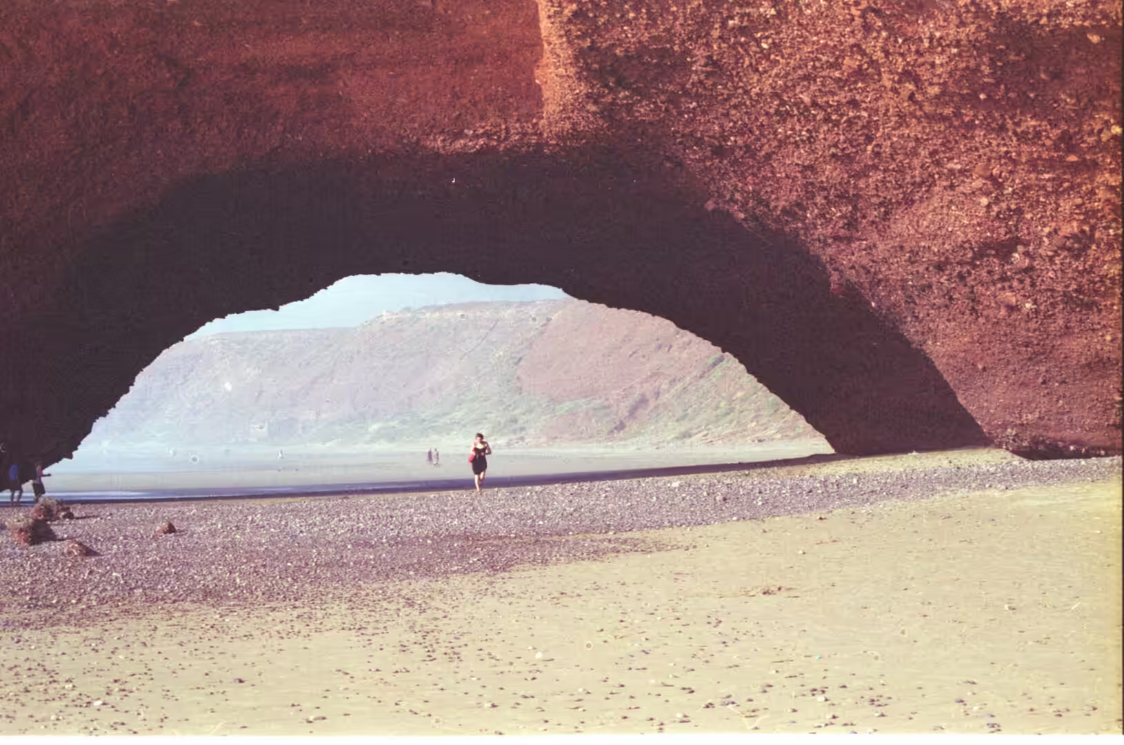
On the coast the geology is dominated by the swell of the North Atlantic. Göttisheim and Flemming described the shore between Cabo de Santa Maria in Portugal and Rabat in Morocco as a very large headland and bay coastline controlled by that swell, with long sandy embayments separated by rocky promontories. Where the rock is resistant, cliffs stand at the water’s edge and erosion cuts them back from below, leaving sea stacks and, where a cave is driven inland until it meets another from the other side, natural arches. The mechanism is well understood: the softer bed erodes into alcoves under a harder caprock until the alcoves meet. Famous arches have failed in recent years, among them the Azure Window in Malta in 2017 and Darwin’s Arch in the Galápagos in 2021. Sea caves of the same family are common on coasts of this kind: the best known in Europe include Fingal’s Cave on the island of Staffa, a passage some 70 metres long cut in columnar basalt, while the largest wave-cut caves known lie on the Norwegian coast and now stand well above the present sea level.
Two further coastal processes belong to this landscape. The first is the tide, the periodic rise and fall of sea level caused mainly by the gravitational pull of the Moon and the Sun, which at this latitude leaves a wide strip of wet rock and pools twice a day. The second is the record of storms and tsunamis preserved in the sediments of the North Atlantic coast of Morocco, reconstructed by Khalfaoui and colleagues from layers of sand driven inland by exceptional waves. The bedrock beneath the southern part of this coast belongs to the Sidi Ifni Inlier, a block of Palaeoproterozoic intrusive and sedimentary rocks described by Boger and colleagues, which reaches the sea between the younger cover rocks.
Things to See
The drive over the Tichka is the first thing to see. From the plain the road climbs through olive groves and then along the flank of the valley in a long series of bends, with roadside stalls selling honey and pottery at the wider corners and tea houses where the lorries stop. Near the summit a sign gives the elevation, and the view opens over ridgelines in ochre, green and grey. On the southern side the difference is immediate, because the M’Goun forms are rounded where the Toubkal slopes are steep. In winter the verges hold snow and the pass can close for a day at a time, which is worth checking before setting out.
Below the pass the villages and their terraces are the second subject. Fields are held by low stone walls on the valley sides, irrigated by small channels, and the houses are built of earth and stone with flat roofs. Olive and almond trees grow around the settlements, and in the Ourika valley, about thirty kilometres from Marrakesh, the Barbary macaque lives as the only primate of the region, a species that is now endangered and protected by law. The mountain road continues through several villages where mules still carry loads and where the local language is Central Atlas Tamazight.
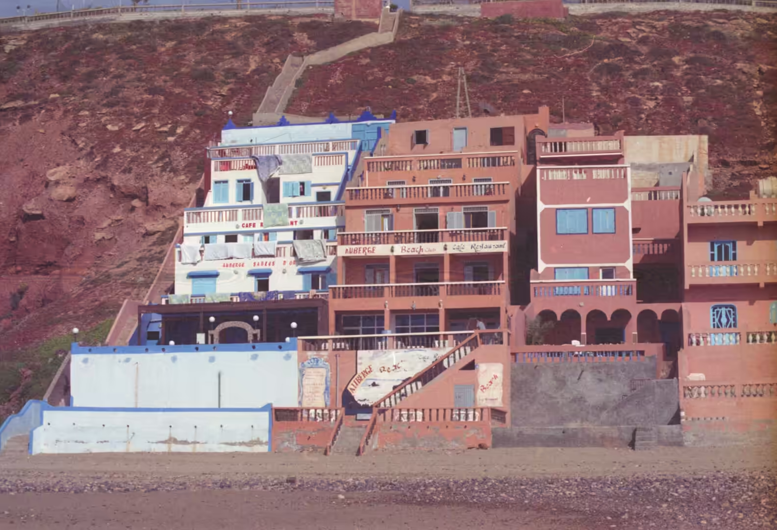
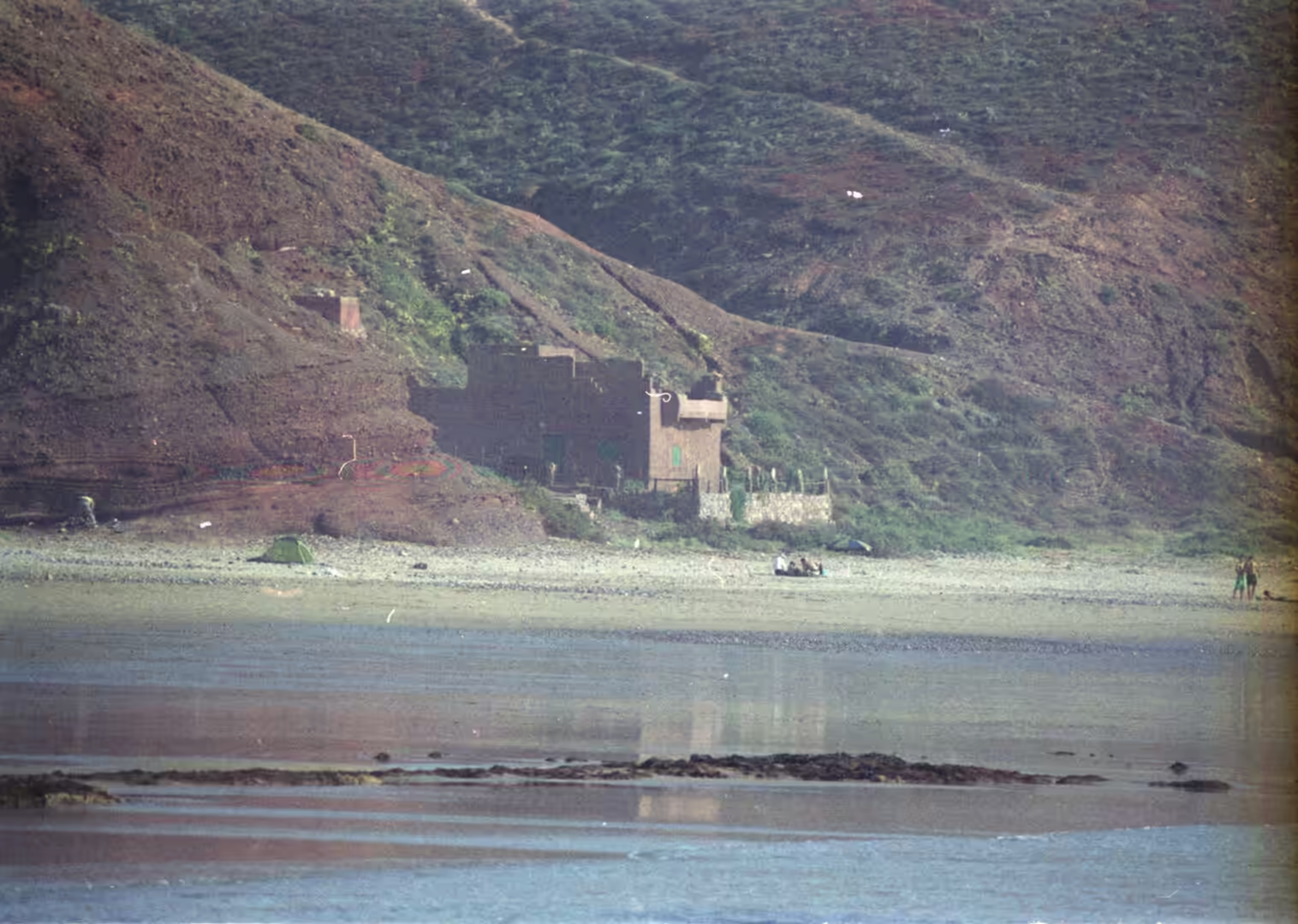
At the coast the sequence begins with the rocky shoreline: low cliffs, rock platforms, sea stacks and pools left by the falling tide. Mirleft is a good base, with its stretch of beach, its surf and bodyboard breaks and the abandoned Fort Tidli on the cliff above the town, and it sells argan oil, pottery and leather slippers in the small shops along the traditional street. South of there, the bays towards Sidi Ifni are framed by red sandstone, and the natural arch and the sea cave in the same cliffs can be reached on foot at low water. The harbour at Sidi Ifni is worth a visit in the afternoon, when the boats come back.
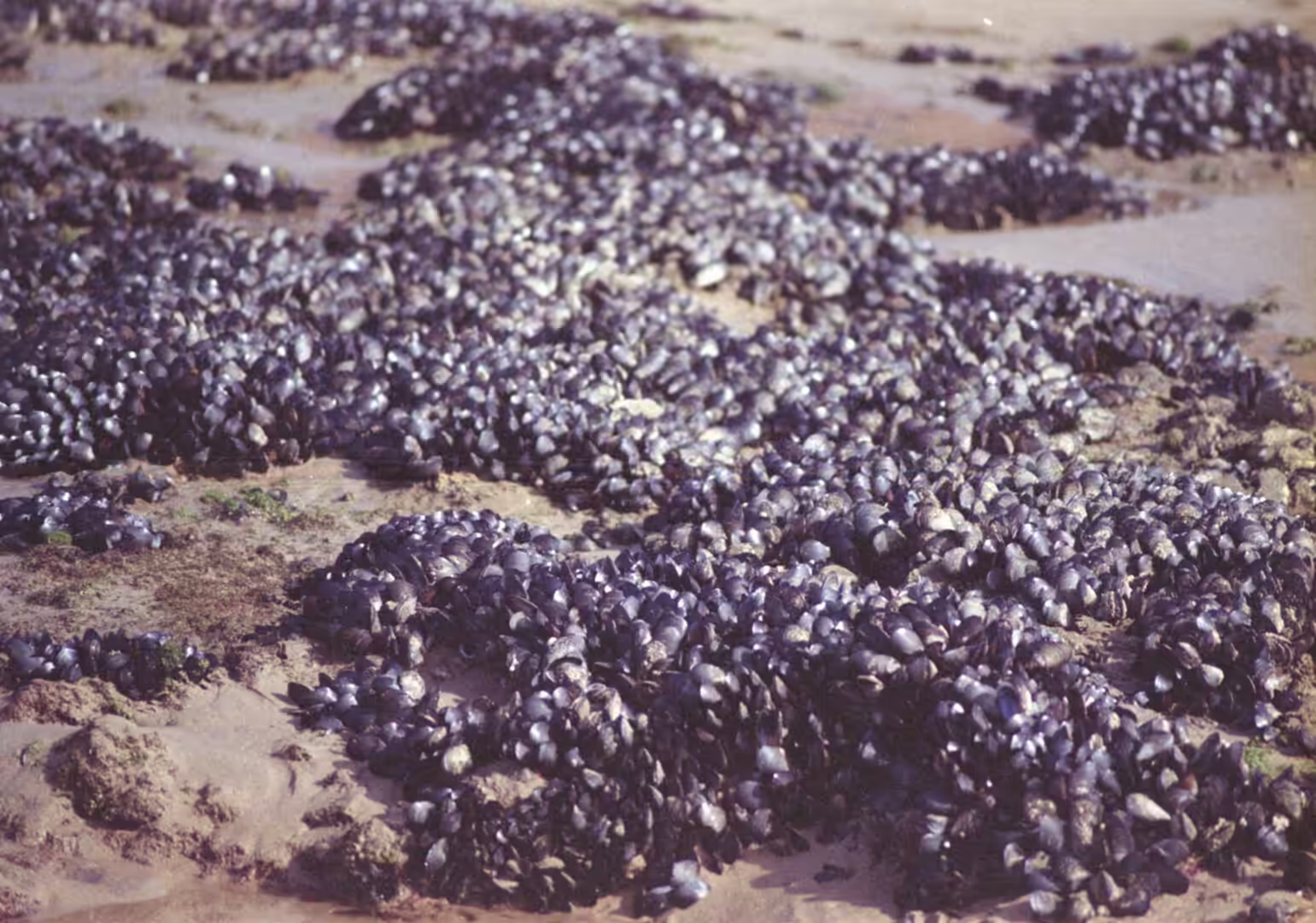
Low tide is the moment to look at the shore itself. The water goes out over the rock platform and leaves pools and weed, and mussels sit in dense bands on the rock faces where the waves break. The Mediterranean mussel, Mytilus galloprovincialis, is the common species of this coast and is also farmed in Morocco, and the smaller mussel Perna picta has been studied on the Atlantic shore, where Shafee estimated the production of a single population. White shells and stranded weed mark the line of the last high water along the sand. Two hundred metres inland the argan trees begin, and the cooperatives that press the oil welcome visitors.
References
- Bhaby, S. (2015). Synchronous reproduction in mussel (Mytilus galloprovincialis) population from Atlantic Ocean of Morocco. Journal of Aquaculture & Marine Biology 2. doi.org/10.15406/jamb.2015.02.00031
- Boger, S. D., Schulte, B., Benziane, F., Yazidi, A. & Fanning, C. M. (2025). Paleoproterozoic intrusive and sedimentary rocks of the Sidi Ifni Inlier (Anti-Atlas Mountains, Morocco) and their correlatives in West Africa and Amazonia. Journal of the Geological Society 182. doi.org/10.1144/jgs2024-219
- Göttisheim, J. & Flemming, B. W. (2012). The coast between Cabo de Santa Maria (Portugal) and Rabat (Morocco): a mega-size headland-bay shoreline under control of the North Atlantic swell? Geo-Marine Letters 33, 183-193. doi.org/10.1007/s00367-012-0308-9
- Izarif, Y., Laftouhi, N.-E., El Ghazali, F., De la Hera, Á., Ghanem, M. and others (2022). Preliminary results of the contribution of Marrakech High Atlas watersheds to the Plioquaternary aquifer of the Haouz plain recharge. EGU General Assembly, EGU22-10233. doi.org/10.5194/egusphere-egu22-10233
- Khalfaoui, O., Dezileau, L., Degeai, J.-P. & Snoussi, M. (2019). Reconstruction of past marine submersion events (storms and tsunamis) on the North Atlantic coast of Morocco. Natural Hazards and Earth System Sciences, discussion paper. doi.org/10.5194/nhess-2019-130
- Robinson, D. A. & Williams, R. B. G. (1992). Sandstone weathering in the High Atlas, Morocco. Zeitschrift für Geomorphologie 36, 413-429. doi.org/10.1127/zfg/36/1992/413
- Shafee, M. (1992). Production estimate of a mussel population Perna picta (Born) on the Atlantic coast of Morocco. Journal of Experimental Marine Biology and Ecology 163, 183-197. doi.org/10.1016/0022-0981(92)90048-f
- Vogel, T. A. & Walker, B. M. (1975). The Tichka Massif, Morocco, an example of contemporaneous acidic and basic plutonism. Lithos 8, 29-38. doi.org/10.1016/0024-4937(75)90028-6
- Moroccan National Tourist Office (2026). Visit Morocco. visitmorocco.com/en
- UNESCO World Heritage Centre (2026). Aït-Ben-Haddou. whc.unesco.org/en/list/444
- Wikipedia contributors (2026). Argania. en.wikipedia.org/wiki/Argania
- Wikipedia contributors (2026). Atlas Mountains. en.wikipedia.org/wiki/Atlas_Mountains
- Wikipedia contributors (2026). Barbary macaque. en.wikipedia.org/wiki/Barbary_macaque
- Wikipedia contributors (2026). High Atlas. en.wikipedia.org/wiki/High_Atlas
- Wikipedia contributors (2026). Mirleft. en.wikipedia.org/wiki/Mirleft
- Wikipedia contributors (2026). Mytilus galloprovincialis. en.wikipedia.org/wiki/Mytilus_galloprovincialis
- Wikipedia contributors (2026). Sea arch. en.wikipedia.org/wiki/Sea_arch
- Wikipedia contributors (2026). Sea cave. en.wikipedia.org/wiki/Sea_cave
- Wikipedia contributors (2026). Tide. en.wikipedia.org/wiki/Tide
- Wikipedia contributors (2026). Tizi n’Tichka. en.wikipedia.org/wiki/Tizi_n%27Tichka
- Wikipedia contributors (2026). Toubkal. en.wikipedia.org/wiki/Toubkal