2015 Morocco - Analogue Pictures 2
Journal Notes
General
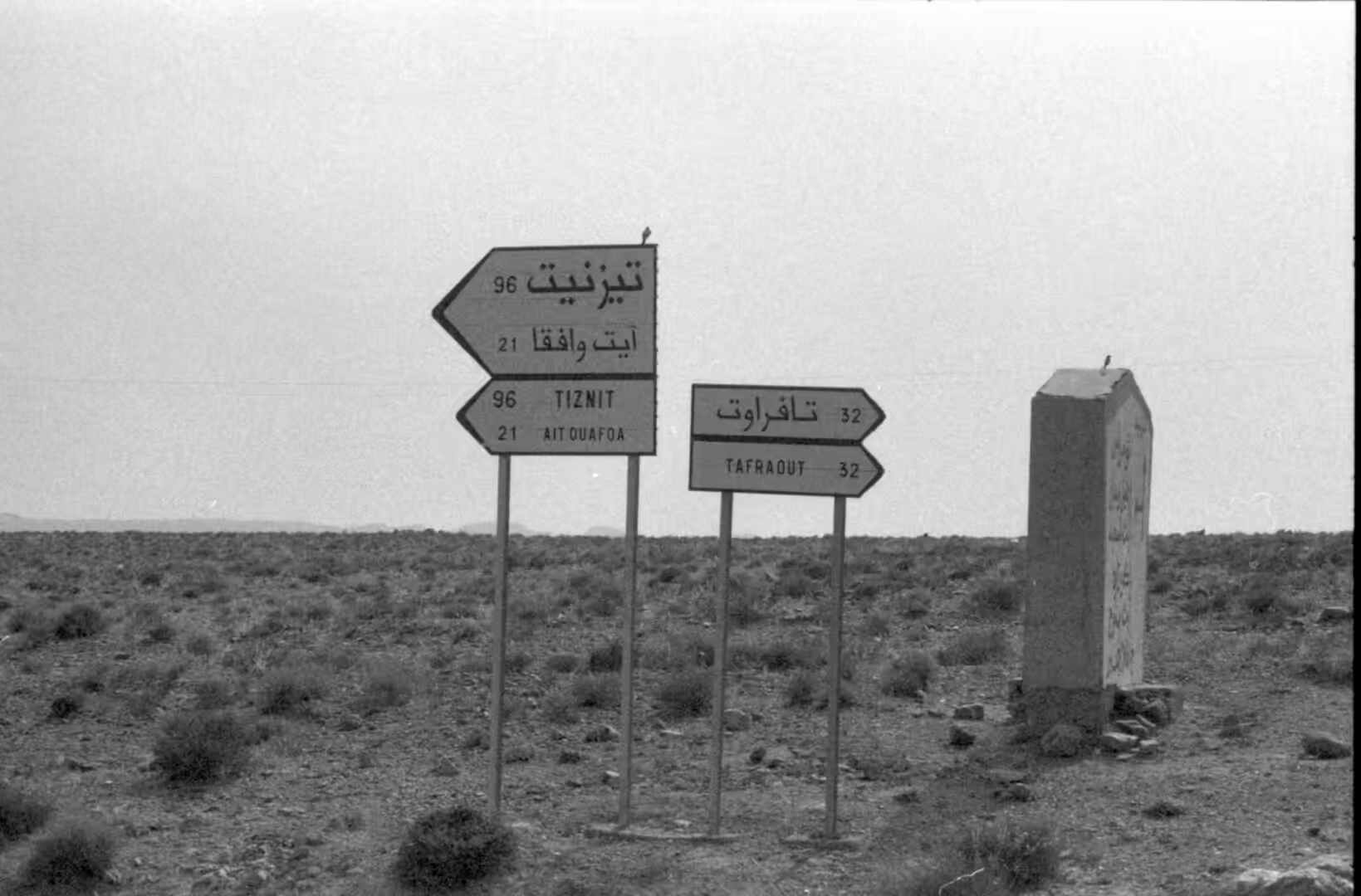
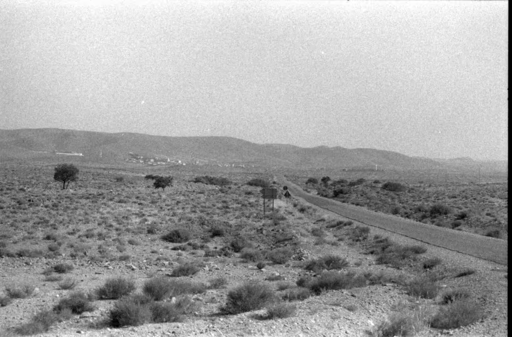
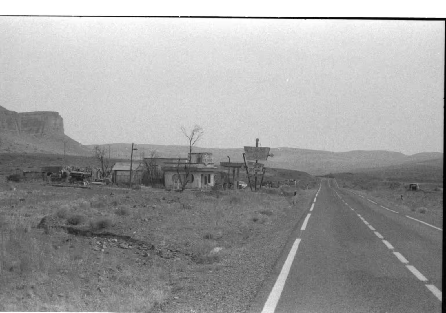
South of Agadir the road leaves the Souss plain and turns inland towards the Anti-Atlas, and for a long stretch the only landmarks are the signs counting down the distance to Tiznit and Tafraout. Tiznit is the capital of its province and the market town of this part of the Souss-Massa region; it was founded in 1881 by the Alawi sultan Hassan I and recorded 74,699 inhabitants at the 2014 census, with later counts putting the town above 86,000. The road out of it climbs steadily, crossing bare ridges and shallow passes where the surface is laid in long straights between bends. Petrol stations and a few roadside cafes stand alone in the open ground, and between them there is nothing but rock, dust and the shadow of a single tree at a well.
Tafraout lies in the central part of the Anti-Atlas and is the largest settlement of the range. The 2024 census counted 6,124 residents. The town stands in a small valley at the foot of Djebel Lekest, a pink granite mountain shaped by erosion, and its name comes from the Shilha word tafrawt, which means a basin or cistern into which water drawn from a well is poured, with the derived sense of valley. A male inhabitant is u Tfrawt and the people are ayt Tfrawt. The Anti-Atlas has been described as the Berber heartland, and the country around the town is planted with olive and almond groves as well as argan and fig trees, held on terraces and in the wider valley floors.
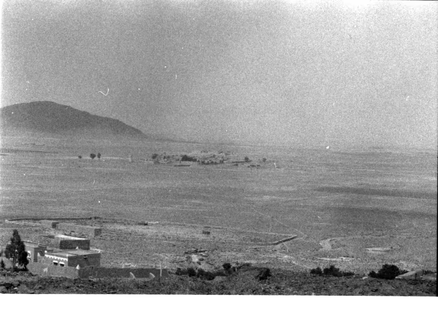
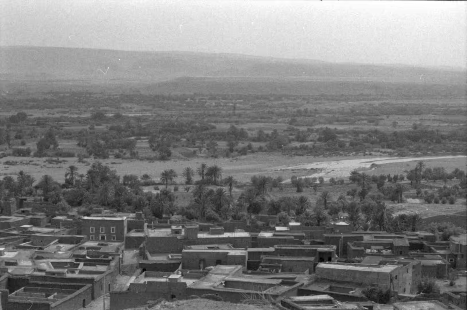
The range itself is sparsely inhabited and has no large cities. Its summits reach moderate heights, with a plateau at 1,700 to 1,800 metres on the northern side and the Saharan highlands at about 700 metres to the south, and it is strongly fissured, particularly towards the south. The population is traditionally Berber, belonging to the Chleuh group. Rock paintings are found in certain areas of the massif, and the eastern continuation of the chain, the Jbel Saghro, is the driest part of the whole Atlas system. Travelling through the region means moving between small centres, each with a weekly market and a cluster of villages around it, rather than between cities. The green patches that punctuate the route are oases in the strict sense: fertile ground in a desert or semi-desert setting where water reaches the surface from a spring, an underground river or an aquifer. Most of the oases seen today are artificial in that the water is led to them by wells and channels, and many of them began as rest stops on trade routes rather than as natural features.
History
Tiznit is a young town by Moroccan standards. It was founded in 1881 by Sultan Hassan I, who gave it a long wall around the old medina in 1883, and an expedition in 1886 strengthened the authority of the sultan in a region that was becoming more important as Spain pressed its claims on the coast at Ifni after the Spanish-Moroccan War of 1860. The ramparts still enclose the medina, and the town has kept its role as the administrative and commercial centre of the province. Its souk is known for silver work in the southern style, and the Living Heritage Centre in the medina, designed by Studio Salima Naji, was recognised in 2026 for its use of the earthen building traditions of southern Morocco.
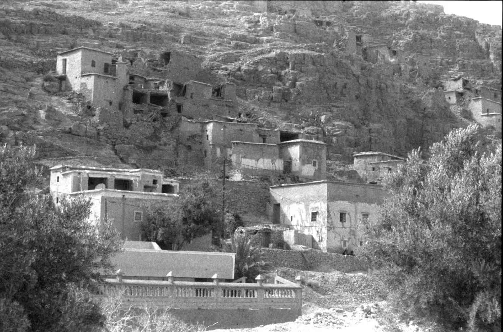
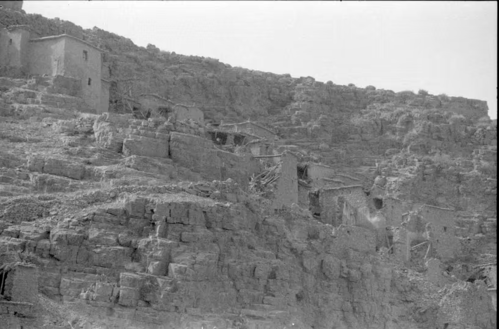
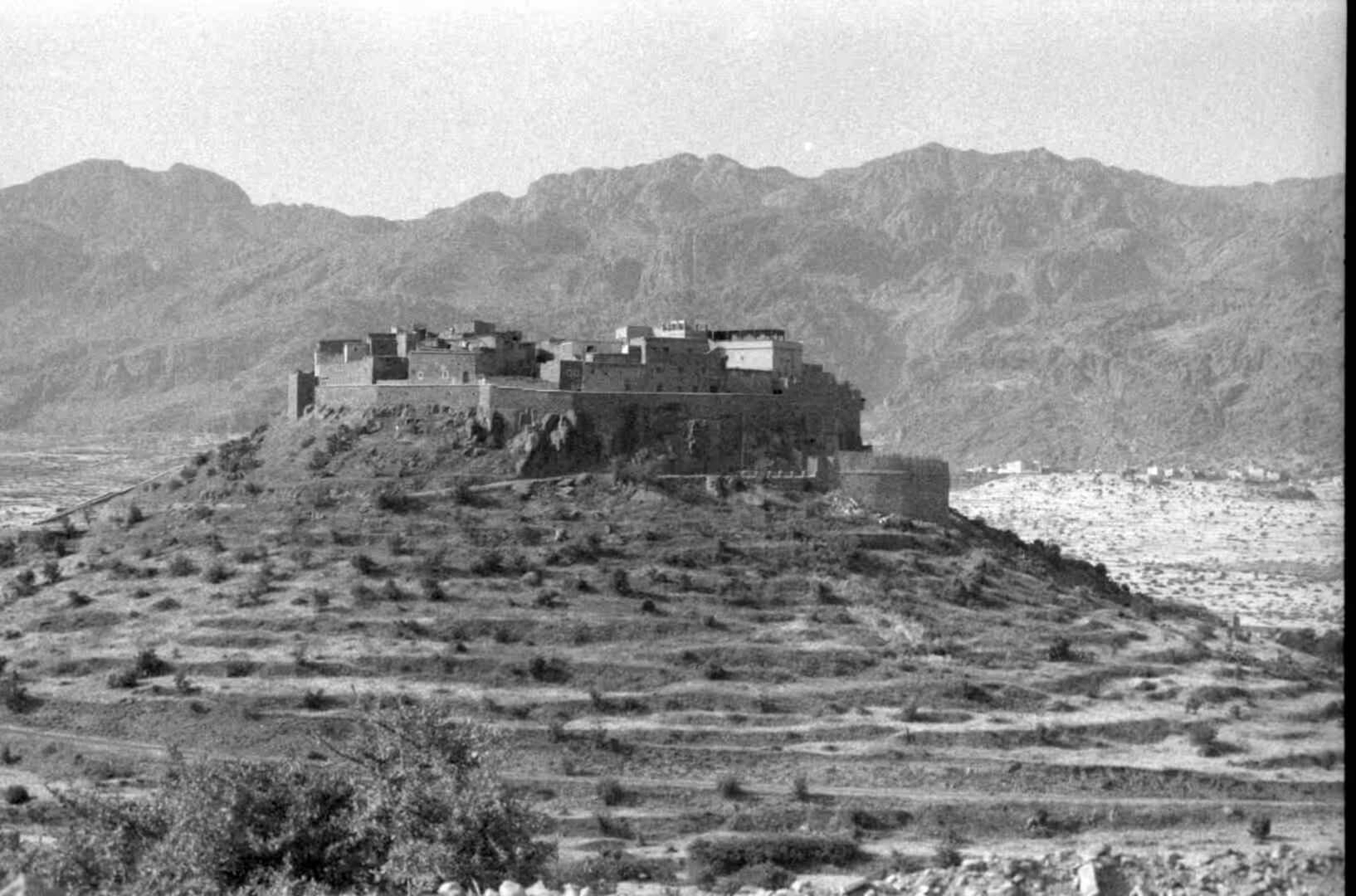
The fortified villages of the south are older than any of this. A ksar, in the plural ksour, is a fortified settlement of the Berber regions of North Africa, built as a continuous block of attached houses and often enclosed by a single wall, sometimes placed on a hill or against a cliff where defence is easier. Many are found among the oasis populations of the Maghreb, and the finest surviving example in Morocco is Aït-Ben-Haddou, west of Ouarzazate, which has been on the UNESCO World Heritage list since 1987. Ksour of this kind commonly included a collective granary, and the towers that stand on the ridges above the villages are part of the same defensive habit of building. Behind the single outer wall the houses share party walls, and the whole complex is built of adobe or of cut stone, with provisions kept in a collective granary of the agadir type found in Morocco and the ghorfa type known in Tunisia. A mosque, a hammam, a communal oven and a few shops are often part of the same enclosure, so that a ksar was a complete settlement rather than only a strong point.
Water, not defence, has shaped the farming. In southern Morocco the underground channel known elsewhere as a qanat or foggaras is called a khettara, and it carries water from a hillside aquifer to the fields by gravity alone, with shafts at intervals for cleaning. Lightfoot described the system and its slow decline in 1996, when falling water tables were already putting the channels out of use, and work continues on reviving them in the oases of the south east. Date palms stand at the centre of the irrigated ground, with fruit trees and vegetables below them. Argan oil, pressed from the kernels of the argan tree, has been made in the region for centuries and is now sold through cooperatives.
Geology
The Anti-Atlas, also called the Lesser Atlas, is a mountain range in Morocco and forms part of the Atlas system of north west Africa. Its rocks are much older than those of the High Atlas. The chain lies along the northern edge of the West African craton, and Soulaimani and Burkhard described it as the southern margin of the Variscan belt where it runs along that ancient boundary. The basement consists of Precambrian rocks affected by the Pan-African orogeny, covered by a thick Palaeozoic succession that preserves marine fossils, and the whole massif was later uplifted and dissected. Gouiza and colleagues used low temperature thermochronology to reconstruct its post-Variscan history of burial, uplift and erosion.
The boundary between the Ediacaran and the Cambrian is unusually well exposed in this belt. El Kabouri and colleagues reviewed the biostratigraphy, chemostratigraphy and geochronology of the interval in 2025 and treated the Anti-Atlas as one of the reference areas for that transition. Later in the Palaeozoic the region lay close to the South Pole, and Le Heron documented the glacial record of the Late Ordovician in the same mountains, where tillites and associated deposits mark the advance and retreat of ice sheets over what is now desert. Between these episodes the area collected the sandstones and limestones that now form the bare ridges along the road.
The granite of Tafraout belongs to a different chapter again. Granite is a coarse grained intrusive rock composed mostly of quartz, alkali feldspar, mica and plagioclase, formed from magma that cooled slowly underground and is exposed only when the cover above it is removed. The pink granite of Djebel Lekest has been sculpted by erosion into rounded domes and boulders, and the same weathering that shapes it works on the sandstone ridges around the town, where resistant beds stand out as ledges while softer layers are hollowed into alcoves and caves. Akdim described the weathering and morphotectonic effects on the sandstones of southern Morocco, including the Dades valley and the country around Ouarzazate.
The argan tree is the botanical signature of this landscape. Its accepted name is Sideroxylon spinosum, long known as Argania spinosa, and it is native to the calcareous semi-desert of the Sous, Chiadma and Haha regions of Morocco, with outlying stands in south western Algeria, Mauritania and Western Sahara. Argan oil comes from the kernels of the fruit; it consists almost entirely of triglycerides and is used both in cooking and in cosmetics. The groves support a rural economy that has been studied by Barkaoui and colleagues, who recorded the ethnobotany and traditional knowledge attached to the tree in the western Anti-Atlas. In the kitchen the oil is used to dip bread at breakfast and to dress couscous, and in the towns it is sold for skin and hair. The United Nations proclaimed 10 May as the International Day of Argania in 2021, and the groves are also managed as a biosphere reserve.
Things to See
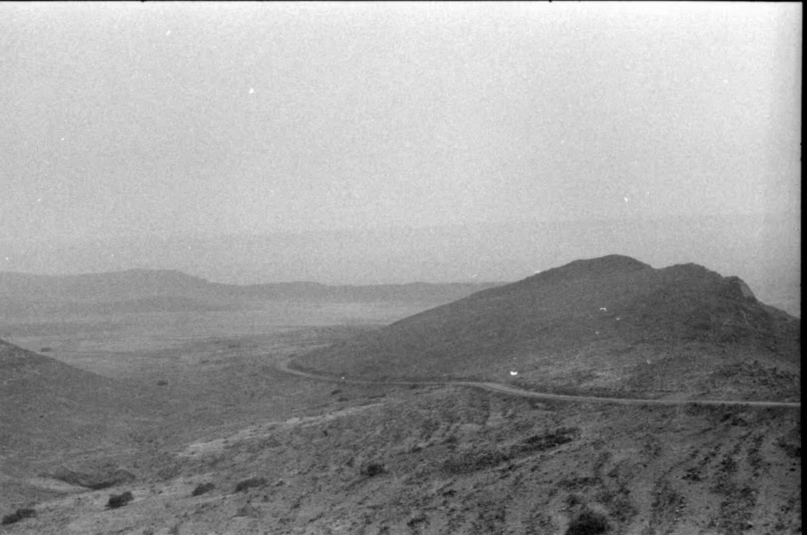
The drive between Tiznit and Tafraout is the first thing to look at, and the road signs are part of it, since they name the next town and the distance in kilometres and give some idea of how empty the country is between them. The route crosses several passes, and from each of them the view opens over layered ridges in grey, ochre and dark brown. Roadside stops are few and simple: a pump, a cafe with plastic chairs, a mechanic’s yard. It is worth filling the tank and carrying water before leaving Tiznit, because the settlements between the two towns are small and widely spaced.
The fortified villages are the second subject. On a hill above the terraced fields a ksar presents a solid face of earthen walls, with the houses packed together and the corners reinforced by towers. Some are still lived in and others stand empty, their walls melting back into the slope. Terraced fields run below them in narrow steps, held by dry stone walls, and the highest terraces are usually the first to be abandoned when a village loses families to the towns. Where a village looks out over a palm oasis the contrast between the bare rock above and the green below is the defining view of the southern valleys.
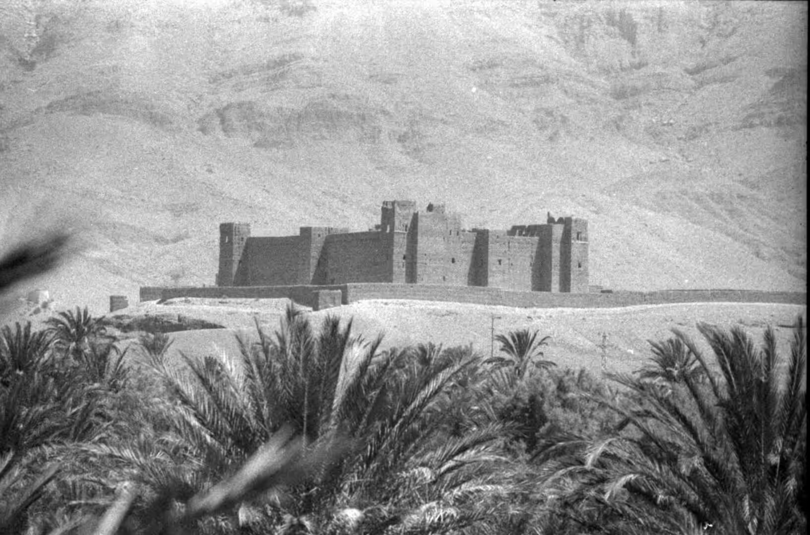
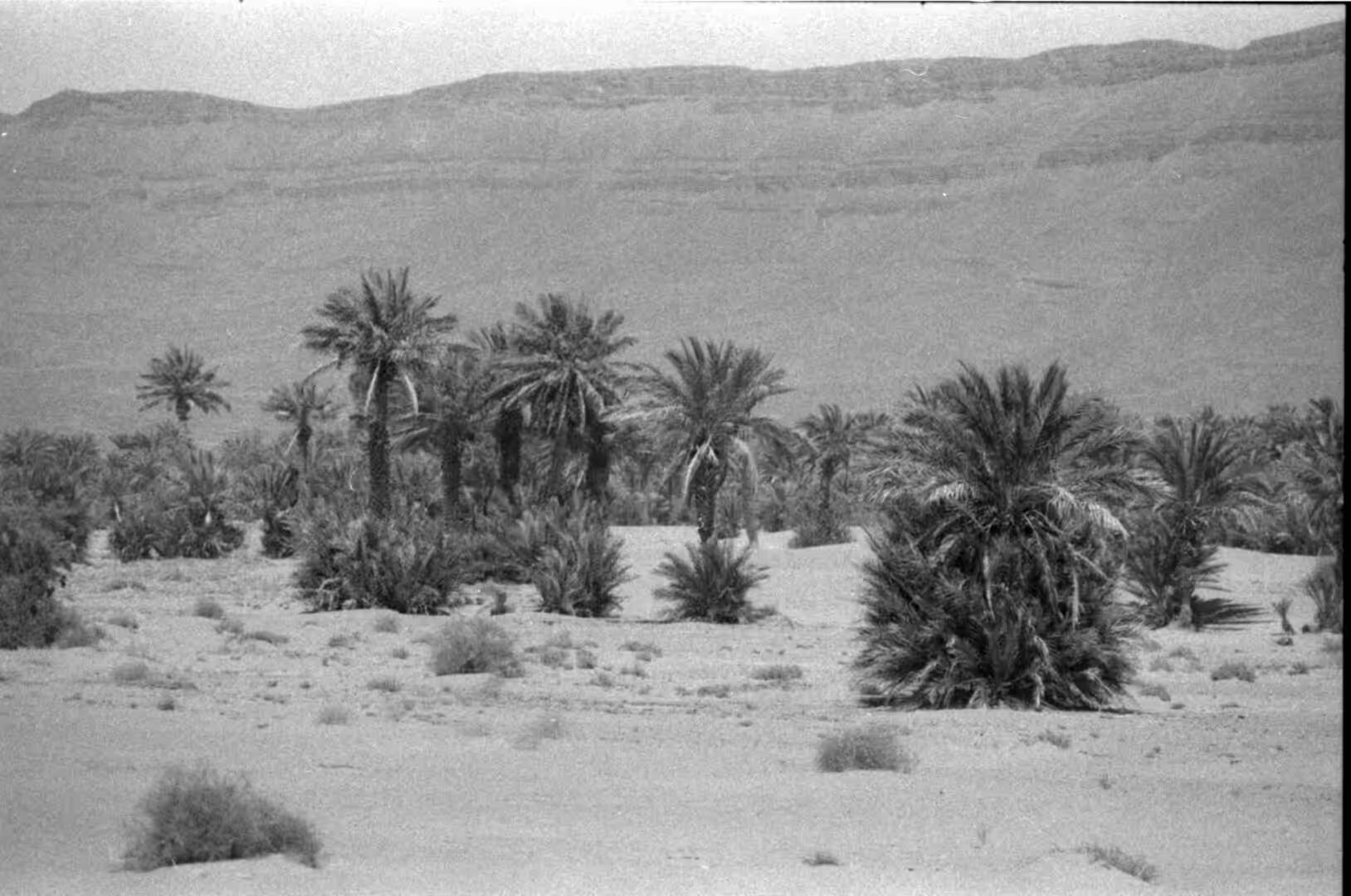
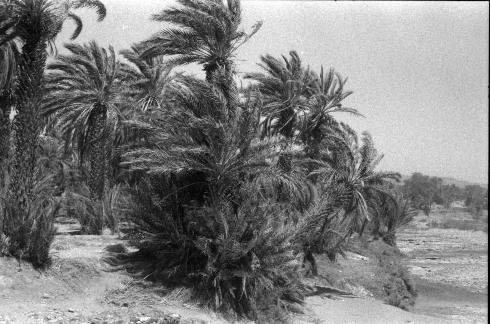
The oases themselves deserve a morning. Date palms are planted in blocks along the beds of seasonal rivers, and the ground under them is divided into small plots irrigated by channels that run from the khettara or from a spring. A ruined kasbah often stands at the edge of the palms, built of the same earth as the village and slowly losing its upper storeys to rain. In the dry season the riverbed is white gravel and sand with a few pools in the shadow of the palms, and in spring meltwater from the mountains can fill it within a day. Tracks through the groves are used by donkeys and small tractors. The date palm, Phoenix dactylifera, is the tree that defines the oasis. It is dioecious, with male and female plants, and can live for more than a century when it is looked after. Because only about half of the seedlings raised from seed are female and fruiting, plantations are usually established from cuttings of heavy cropping palms. Dates have been cultivated in Arabia since the sixth millennium BC and contain roughly 63 to 64 per cent sugar when dried, which is the reason they travel well and have always been a trade good.
Around Tafraout the granite is the attraction. The domes above the town can be walked to in an hour, and the balanced boulders and smooth slabs are a favourite of climbers. The valleys hold olive and almond groves and, further out, argan woodland, and the almond blossom in late winter is the season the town is busiest. Argan oil, amlou, pottery and silver are sold in the shops and cooperatives, and the weekly market brings in produce and livestock from the surrounding villages. For a traveller heading further south the road continues towards Tiznit and the coast, or eastwards towards the Saharan side of the range.
References
- Akdim, B. (1996). The sandstone geomorphic aspects in Southern Morocco (Dades Valley, Ouarzazate): weathering and morphotectonic effects. Zeitschrift für Geomorphologie 40, 85-95. doi.org/10.1127/zfg/40/1996/85
- Barkaoui, M., Msanda, F., Boubaker, H., El-Boullani, R., Asri, O. E. and others (2024). Ethnobotany, traditional knowledge, and nutritional value of argan (Argania spinosa (L.) Skeels) in Western Anti-Atlas of Morocco. Brazilian Journal of Biology 84, e260477. doi.org/10.1590/1519-6984.260477
- El Kabouri, J., Errami, E., Bowyer, F. T., Becker-Kerber, B., Belkacim, S. and others (2025). Ediacaran-Cambrian Boundary in the Anti-Atlas belt (Morocco): a review of biostratigraphy, chemostratigraphy and geochronology. Earth-Science Reviews 261, 105010. doi.org/10.1016/j.earscirev.2024.105010
- Gouiza, M., Charton, R., Bertotti, G., Andriessen, P. & Storms, J. E. A. (2016). Post-Variscan evolution of the Anti-Atlas belt of Morocco constrained from low-temperature geochronology. International Journal of Earth Sciences 106, 593-616. doi.org/10.1007/s00531-016-1325-0
- Khettouch, A., Ait Brahim, Y., Hssaisoune, M. & Bouchaou, L. (2025). Indigenous water management amid global changes: reviving ancient oasis irrigation systems in Southeastern Morocco. EGU General Assembly, EGU25-4278. doi.org/10.5194/egusphere-egu25-4278
- Le Heron, D. P. (2007). Late Ordovician glacial record of the Anti-Atlas, Morocco. Sedimentary Geology 201, 93-110. doi.org/10.1016/j.sedgeo.2007.05.004
- Lightfoot, D. R. (1996). Moroccan khettara: traditional irrigation and progressive desiccation. Geoforum 27, 261-273. doi.org/10.1016/0016-7185(96)00008-5
- Sedra, M. H. (2015). Date palm status and perspective in Morocco. In: Date Palm Genetic Resources and Utilization, 257-323. doi.org/10.1007/978-94-017-9694-1_8
- Soulaimani, A. & Burkhard, M. (2008). The Anti-Atlas chain (Morocco): the southern margin of the Variscan belt along the edge of the West African craton. Geological Society, London, Special Publications 297, 433-452. doi.org/10.1144/sp297.20
- Moroccan National Tourist Office (2026). Visit Morocco. visitmorocco.com/en
- UNESCO World Heritage Centre (2026). Aït-Ben-Haddou. whc.unesco.org/en/list/444
- Wikipedia contributors (2026). Anti-Atlas. en.wikipedia.org/wiki/Anti-Atlas
- Wikipedia contributors (2026). Argan oil. en.wikipedia.org/wiki/Argan_oil
- Wikipedia contributors (2026). Argania. en.wikipedia.org/wiki/Argania
- Wikipedia contributors (2026). Chleuh. en.wikipedia.org/wiki/Chleuh
- Wikipedia contributors (2026). Ksar. en.wikipedia.org/wiki/Ksar
- Wikipedia contributors (2026). Oasis. en.wikipedia.org/wiki/Oasis
- Wikipedia contributors (2026). Phoenix dactylifera. en.wikipedia.org/wiki/Phoenix_dactylifera
- Wikipedia contributors (2026). Tafraout. en.wikipedia.org/wiki/Tafraout
- Wikipedia contributors (2026). Tiznit. en.wikipedia.org/wiki/Tiznit
- Wikipédia contributeurs (2026). Tiznit. fr.wikipedia.org/wiki/Tiznit