2015 Morocco - Analogue Pictures 3
Journal Notes
General
Below Ouarzazate the road follows the Draa, the longest river system in Morocco. The river is formed a few kilometres east of the city by the meeting of the Dadès with the Oued Ouarzazate in the lake behind the Al Mansour Ad-Dahbi dam, built in 1971 to regulate the flow and to serve the regional capital. The Dadès comes down from the eastern High Atlas with the Oued M’Goun as a tributary, while the Oued Ouarzazate is fed from the north west by the Ounila and the Imini, which drain Tizi n’Telouet and Tizi n’Tichka and the northern flank of Jbel Siroua. Below the dam the river runs south east and then turns west, reaching the Atlantic at Foum Draa between Guelmim and Tan-Tan. For most of the year it is dry over long stretches, and only the middle valley keeps a chain of green oases alive.
This is the region of Drâa-Tafilalet, one of the twelve regions of Morocco. It covers 88,836 square kilometres and has its capital at Errachidia. Its two main watersheds are the Draa in the west and the Ziz in the east, which irrigates the Tafilalt oasis, and it borders Souss-Massa, Marrakesh-Safi, Béni Mellal-Khénifra, Fès-Meknès and Oriental, as well as the Algerian provinces of Tindouf and Béchar. The region was formed in September 2015 by merging the provinces of Errachidia and Midelt with three provinces of the former Souss-Massa-Drâa region. Its best known economic activity is the film industry around Ouarzazate, but the pottery of Tamegroute and the rugs of Taznakht are equally part of local trade.
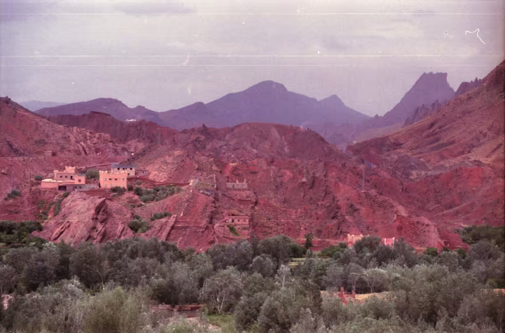
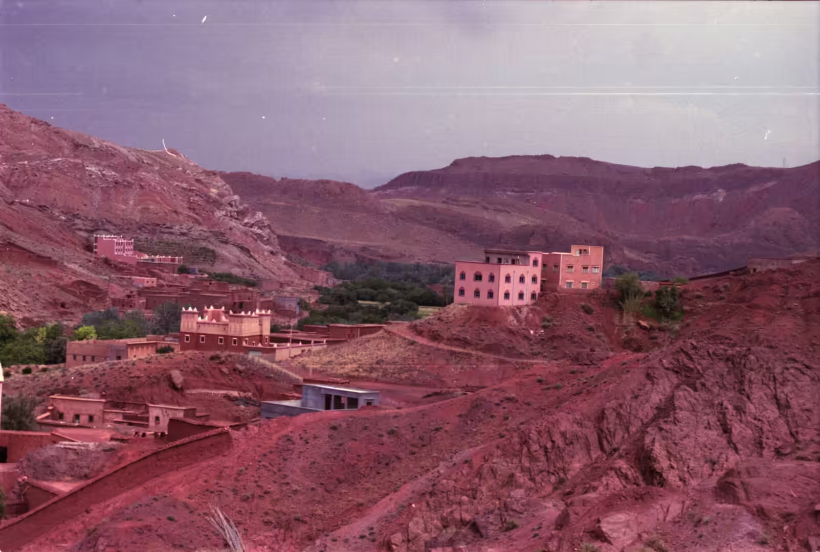
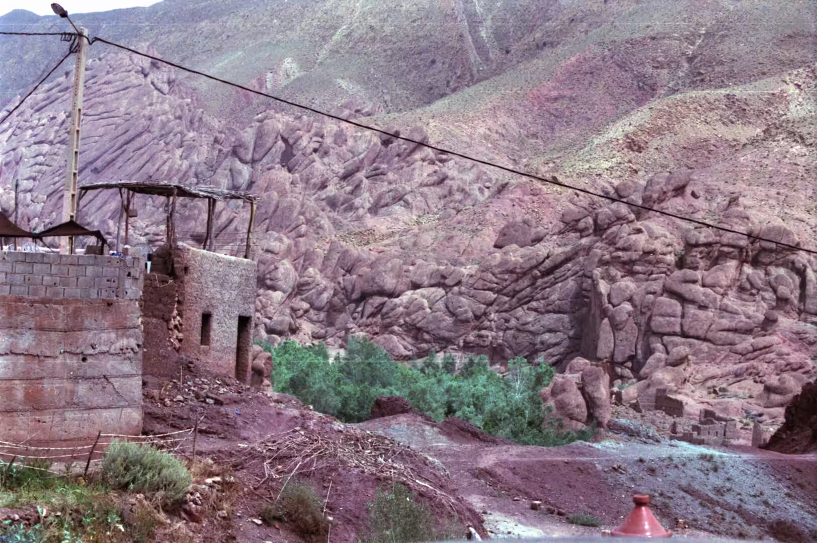
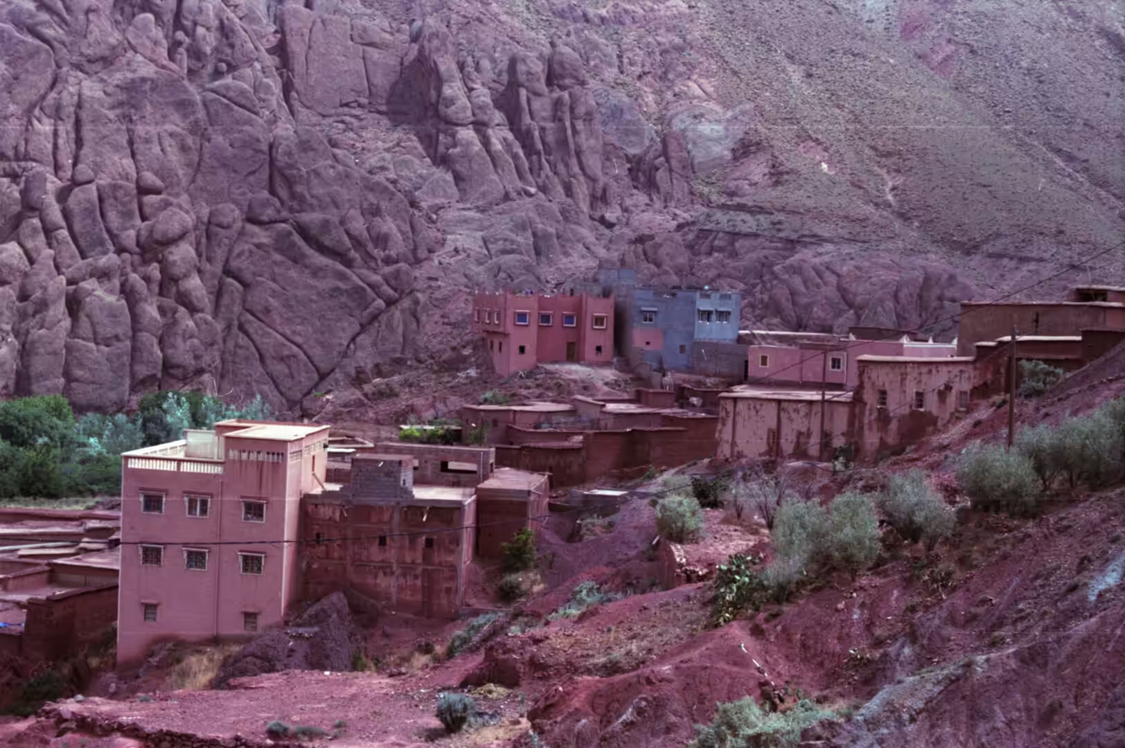
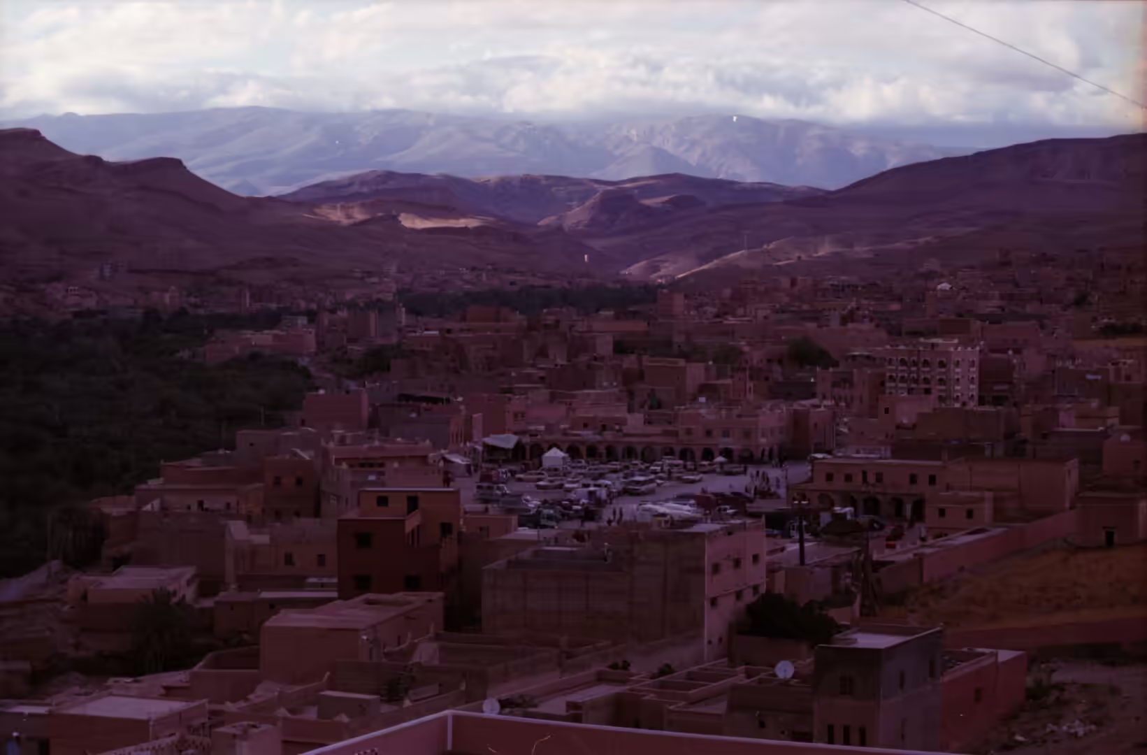
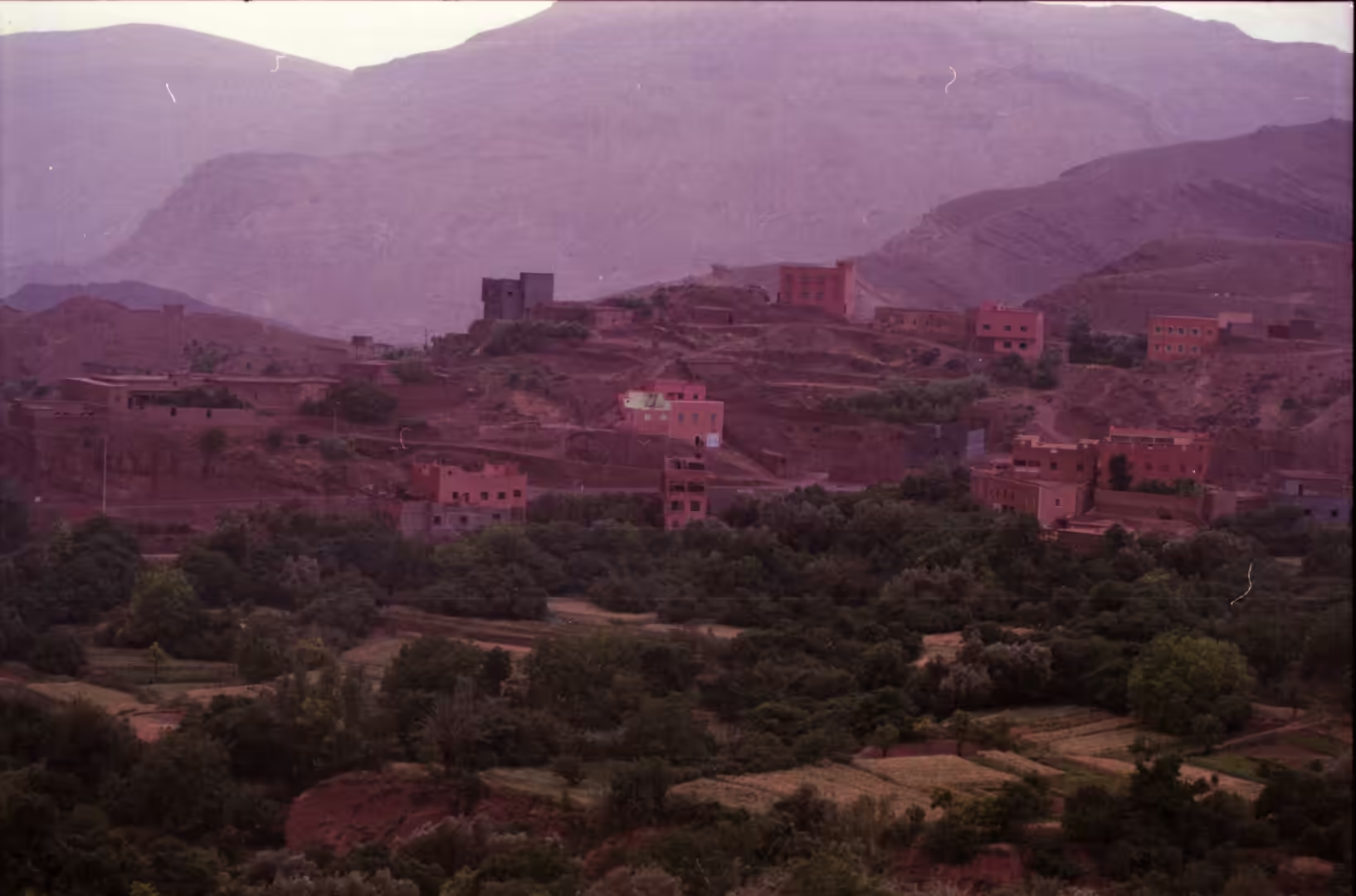
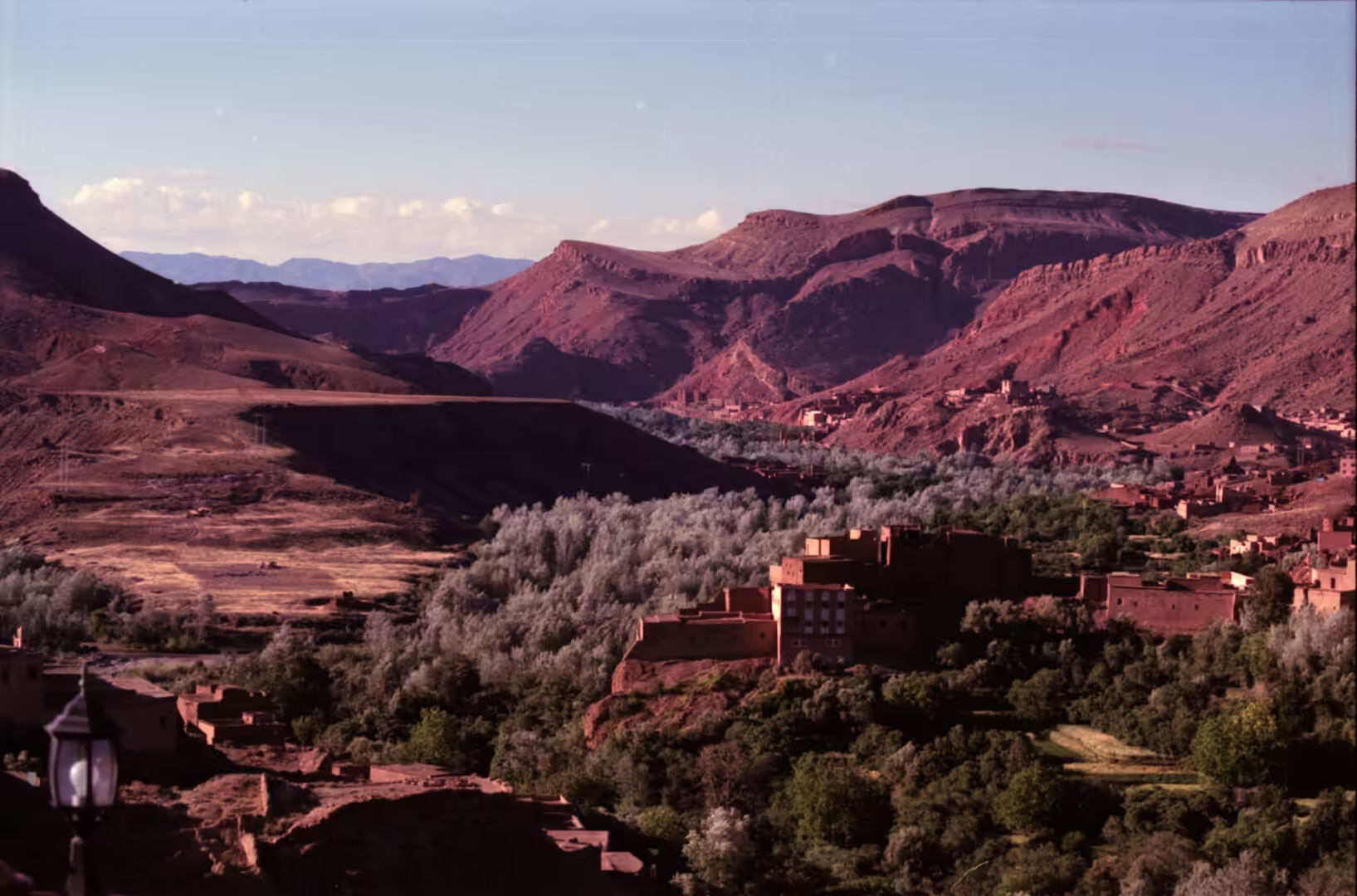
The villages along the road sit where water can still be reached, and the building material comes from the ground they stand on. Walls are raised from rammed earth or from mudbrick, roofs are flat, and the colour of the settlement is the colour of the slope behind it, which in this part of the country ranges from ochre to deep red. Towers stand at the corners of the larger compounds and on the ridges above the villages, and the minaret of the mosque is usually the only element painted white. Between the villages the land is gravel plain, low rocky hills and terraces, with the palms of each oasis visible from a long way off.
History
The fortified villages of this valley grew up along a caravan route between the Sahara and Marrakesh. Aït Benhaddou, the best known of them, stands on the slopes of a hill beside the Ounila river and has been fortified since the eleventh century, in the Almoravid period. None of the buildings now standing is thought to predate the seventeenth century, but they reproduce methods and designs used for centuries before that. The village is grouped inside a defensive wall with corner towers and a gate, and it contains a public square and both a Muslim and a Jewish cemetery, a reminder that the southern oases were home to mixed communities. It was added to the UNESCO World Heritage list in 1987 and was damaged by the earthquake of September 2023.
Two building types give the valley its character. A kasbah is a fortress, most often the citadel of a town, and in the Amazigh regions of Morocco the word is used for a fortified residence of the tighremt type, built of mudbrick, of which Kasbah Telouet and Kasbah Amridil are the usual examples. An agadir, in the plural igudar, is a fortified communal granary, found above all in the High Atlas, the Anti-Atlas and the Draa valley, with some examples going back to the tenth century. Both types were built of rammed earth or dry stone, and the granaries were placed on rocky heights where they could protect the harvest of the surrounding farms. The larger dry stone examples are several storeys high and are laid out along narrow internal alleys, each level made up of rows of cell-like rooms reached from outside by stepping on stones that protrude from the facade. Rammed earth versions are commoner in the High Atlas, where they resemble the ordinary houses of the region and sometimes carry decoration worked in mudbrick.
Dynasties fought over this corridor. After the Saadians came the Alaouites, and four sons of Moulay Ismail held the title of khalifa of the Draa in the late seventeenth and early eighteenth centuries, including a governor of 1702 and 1703 who appears in the records as khalifa of the province. A map of southern Morocco drawn by Nicolaas Sanson in 1705 shows the province of Darha, or Draa, marked out between the mountains and the desert, which gives a fair idea of how the valley was understood from outside at the time. The oases remained the points of contact between the settled south and the caravan traffic from beyond the Sahara, and the ksour were the places where that traffic was taxed and lodged. The greatest of the desert trading towns, Sijilmasa, was founded on the banks of the Ziz in the Tafilalt, far to the east of this valley, and the gold that crossed the Sahara reached Morocco through it before being carried north over the Atlas. and lodged.
Geology
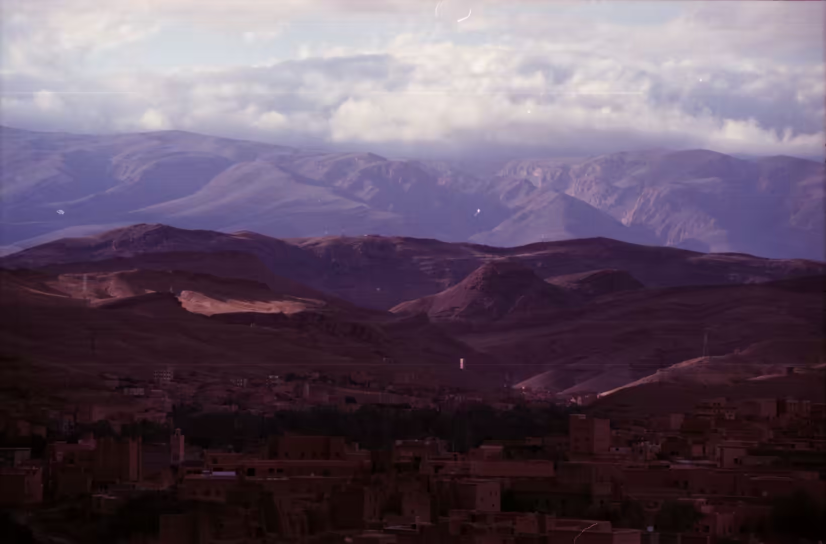
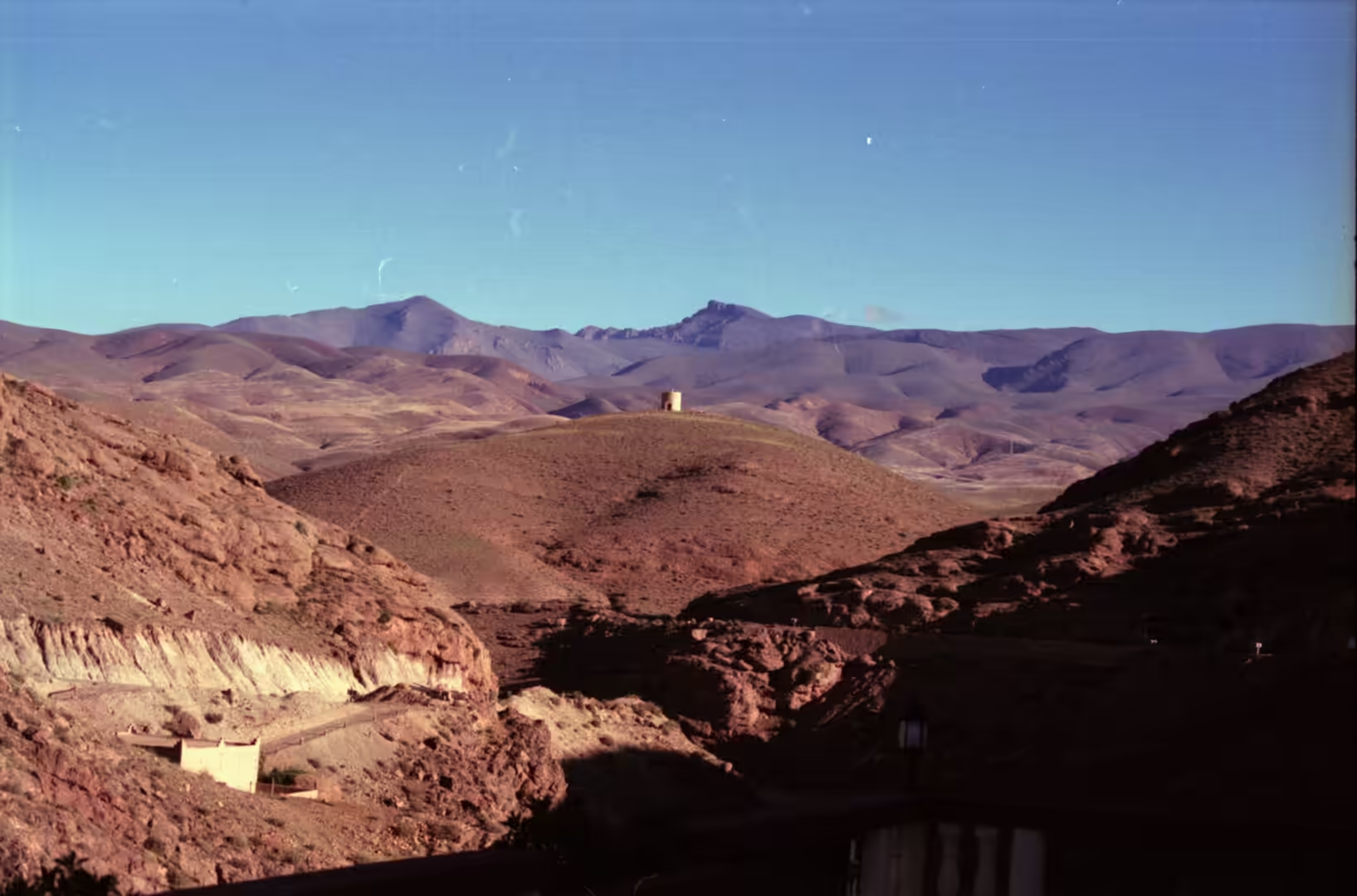
The course of the river is older than the mountains it crosses. The High Atlas runs east to west and acts as the barrier between the Sahara and the wetter zones to the north, while the Anti-Atlas lies to the south of it. Around Ouarzazate the Anti-Atlas is cut through by the Draa valley, which opens towards the south, and the river has kept its line across a range that rose after the drainage had already been established. The mountains were lifted in several phases along a Precambrian basement, and the southern flanks fall away towards gravel plains that run out into the desert.
The water that keeps the oases comes from the high ground. The M’Goun massif exceeds 4,000 metres and its southern slopes feed the Dadès, while the Imini drains the country around Tizi n’Tichka and the Ounila the valley below Tizi n’Telouet. Snow melt in spring can fill the riverbed within days, and the rest of the year the bed is sand and gravel with a few pools. Sediments brought down over long periods form the terraces on which the villages stand, and those same deposits, reworked by hand into mudbrick, are what the houses are built of. Weathering of the sandstone and mudrock in this dry climate has been described by Akdim for southern Morocco and by Robinson and Williams for the High Atlas.
The wider geology of the belt is well studied. Soulaimani and Burkhard set out the position of the Anti-Atlas as the southern margin of the Variscan belt along the edge of the West African craton, and Gouiza and colleagues reconstructed its later history of uplift and erosion from low temperature thermochronology. Older still are the Ediacaran and Cambrian rocks reviewed by El Kabouri and colleagues, which make this area a reference section for the boundary between those periods, and the Late Ordovician glacial deposits described by Le Heron show that the region lay near the South Pole in the Palaeozoic. A traveller sees the result as bare ridges in grey and purple, standing above softer slopes.
Life in the oases is organised around scarce water. The channel known in southern Morocco as a khettara takes water from an aquifer to the fields by gravity through a tunnel with access shafts, and Lightfoot described both the technique and its slow decline, as falling water tables left channels dry. Work on reviving these systems continues in the oases further east, and along the Ziz the older rule still applies that every village and every household has a right to a fair share of the water. Date palms form the upper storey of the gardens, with fruit trees and vegetables below them, and the palms of the Draa are the reason the valley is green at all.
Things to See
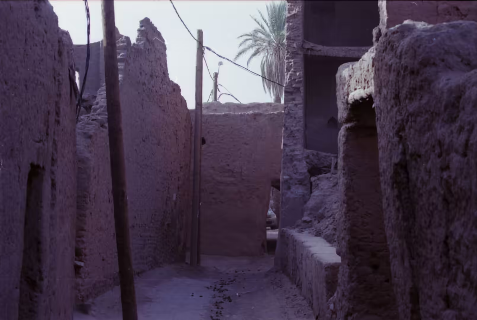
The earthen villages are the first thing to look at closely. Alleys run between walls of mudbrick, cool in the middle of the day, and the doors are set in the blank faces of the houses rather than along a street. Where a village has been abandoned the walls lose their tops first and the mud returns to the slope. On the hill above Aït Benhaddou the collective granary still stands at the summit, and the walk up through the ksar passes the mosque, the square and the two cemeteries. A footbridge built in 2011 links the old village with the modern one across the river.
Kasbahs are the second subject, and they are best seen from a distance before they are entered. A large one presents a square mass of red earth with corner towers and a single decorated upper storey, and the best known, such as Telouet and Amridil, are kept in repair while dozens of others stand roofless beside the road. The ornament is cut into the mud, not applied to it, and the patterned bands around doorways and windows survive only as long as the wall does. Visiting a ruin means watching where the ground has been undermined, since the material that makes these buildings possible is also what makes them temporary.
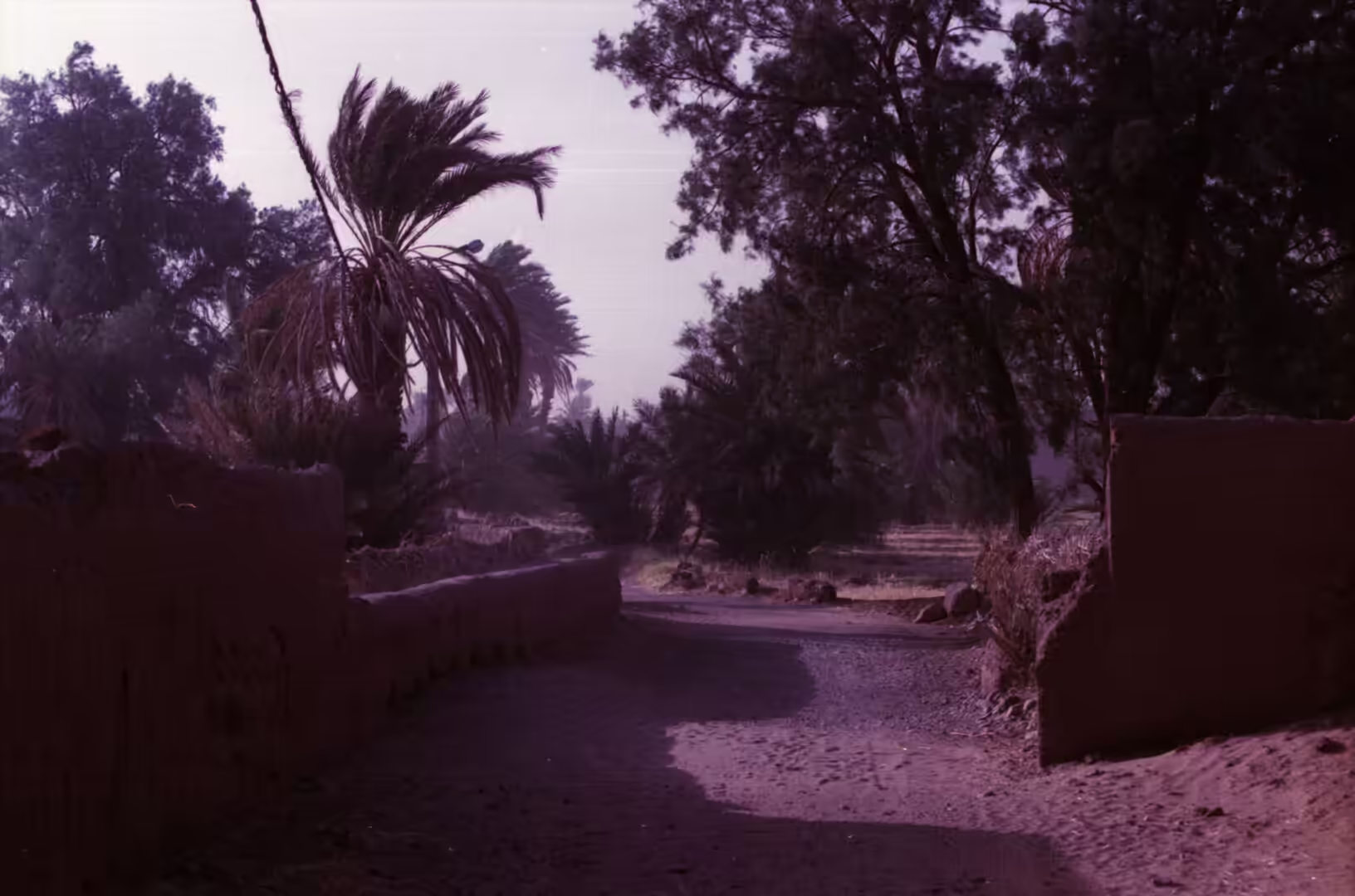
The palm gardens deserve an unhurried morning. Water is divided by small channels and by turns that follow an old rule, and the plots under the palms carry lucerne, vegetables, maize and fruit. Beyond the gardens the riverbed is white in the sun, and the road crosses it on a causeway where the water goes in spring. The palms that give the oasis its structure are date palms, Phoenix dactylifera, which are either male or female and can live for more than a century; since only about half of the seedlings raised from seed are female, new plantations are grown from cuttings of palms that crop well. Small shops by the market square sell dates of several varieties, almonds, cumin and dried figs, and the market day brings in livestock and pottery from the surrounding country.
For the traveller the valley offers a series of short stops rather than single sights. The pottery village of Tamegroute and the rug workshops of Taznakht are on the route, and amlou, the spread of argan oil with almonds and honey, is sold in shops and served at breakfast with bread or pancakes. Ouarzazate, with the film studios that have stood in for Tibet, Rome and Egypt since the 1960s, is the usual place to break the journey, and the airport there is the busiest in the region. The town grew under the French protectorate as a garrison, administrative centre and customs post, and the church of Saint Thérèse was built there in 1931; in 1954 the Jewish quarter still held about 170 people. Among the productions shot in the area are Lawrence of Arabia in 1962, The Man Who Would Be King in 1975, Gladiator in 2000 and parts of Game of Thrones, and the nearby solar power station has become a destination of its own. Summer heat between June and September is severe, so the valley is best walked in the morning and late afternoon.
References
- Akdim, B. (1996). The sandstone geomorphic aspects in Southern Morocco (Dades Valley, Ouarzazate): weathering and morphotectonic effects. Zeitschrift für Geomorphologie 40, 85-95. doi.org/10.1127/zfg/40/1996/85
- Barkaoui, M., Msanda, F., Boubaker, H., El-Boullani, R., Asri, O. E. and others (2024). Ethnobotany, traditional knowledge, and nutritional value of argan (Argania spinosa (L.) Skeels) in Western Anti-Atlas of Morocco. Brazilian Journal of Biology 84, e260477. doi.org/10.1590/1519-6984.260477
- El Kabouri, J., Errami, E., Bowyer, F. T., Becker-Kerber, B., Belkacim, S. and others (2025). Ediacaran-Cambrian Boundary in the Anti-Atlas belt (Morocco): a review of biostratigraphy, chemostratigraphy and geochronology. Earth-Science Reviews 261, 105010. doi.org/10.1016/j.earscirev.2024.105010
- Gouiza, M., Charton, R., Bertotti, G., Andriessen, P. & Storms, J. E. A. (2016). Post-Variscan evolution of the Anti-Atlas belt of Morocco constrained from low-temperature geochronology. International Journal of Earth Sciences 106, 593-616. doi.org/10.1007/s00531-016-1325-0
- Khettouch, A., Ait Brahim, Y., Hssaisoune, M. & Bouchaou, L. (2025). Indigenous water management amid global changes: reviving ancient oasis irrigation systems in Southeastern Morocco. EGU General Assembly, EGU25-4278. doi.org/10.5194/egusphere-egu25-4278
- Le Heron, D. P. (2007). Late Ordovician glacial record of the Anti-Atlas, Morocco. Sedimentary Geology 201, 93-110. doi.org/10.1016/j.sedgeo.2007.05.004
- Lightfoot, D. R. (1996). Moroccan khettara: traditional irrigation and progressive desiccation. Geoforum 27, 261-273. doi.org/10.1016/0016-7185(96)00008-5
- Robinson, D. A. & Williams, R. B. G. (1992). Sandstone weathering in the High Atlas, Morocco. Zeitschrift für Geomorphologie 36, 413-429. doi.org/10.1127/zfg/36/1992/413
- Sedra, M. H. (2015). Date palm status and perspective in Morocco. In: Date Palm Genetic Resources and Utilization, 257-323. doi.org/10.1007/978-94-017-9694-1_8
- Soulaimani, A. & Burkhard, M. (2008). The Anti-Atlas chain (Morocco): the southern margin of the Variscan belt along the edge of the West African craton. Geological Society, London, Special Publications 297, 433-452. doi.org/10.1144/sp297.20
- UNESCO World Heritage Centre (2026). Aït-Ben-Haddou. whc.unesco.org/en/list/444
- Moroccan National Tourist Office (2026). Visit Morocco. visitmorocco.com/en
- Wikipedia contributors (2026). Agadir (granary). en.wikipedia.org/wiki/Agadir_(granary)
- Wikipedia contributors (2026). Aït Benhaddou. en.wikipedia.org/wiki/Aït_Benhaddou
- Wikipedia contributors (2026). Amlou. en.wikipedia.org/wiki/Amlou
- Wikipedia contributors (2026). Draa River. en.wikipedia.org/wiki/Draa_River
- Wikipedia contributors (2026). Drâa-Tafilalet. en.wikipedia.org/wiki/Drâa-Tafilalet
- Wikipedia contributors (2026). Kasbah. en.wikipedia.org/wiki/Kasbah
- Wikipedia contributors (2026). Ksar. en.wikipedia.org/wiki/Ksar
- Wikipedia contributors (2026). Oasis. en.wikipedia.org/wiki/Oasis
- Wikipedia contributors (2026). Ziz River. en.wikipedia.org/wiki/Ziz_River