2015 Morocco - Analogue Pictures 5
Journal Notes
General
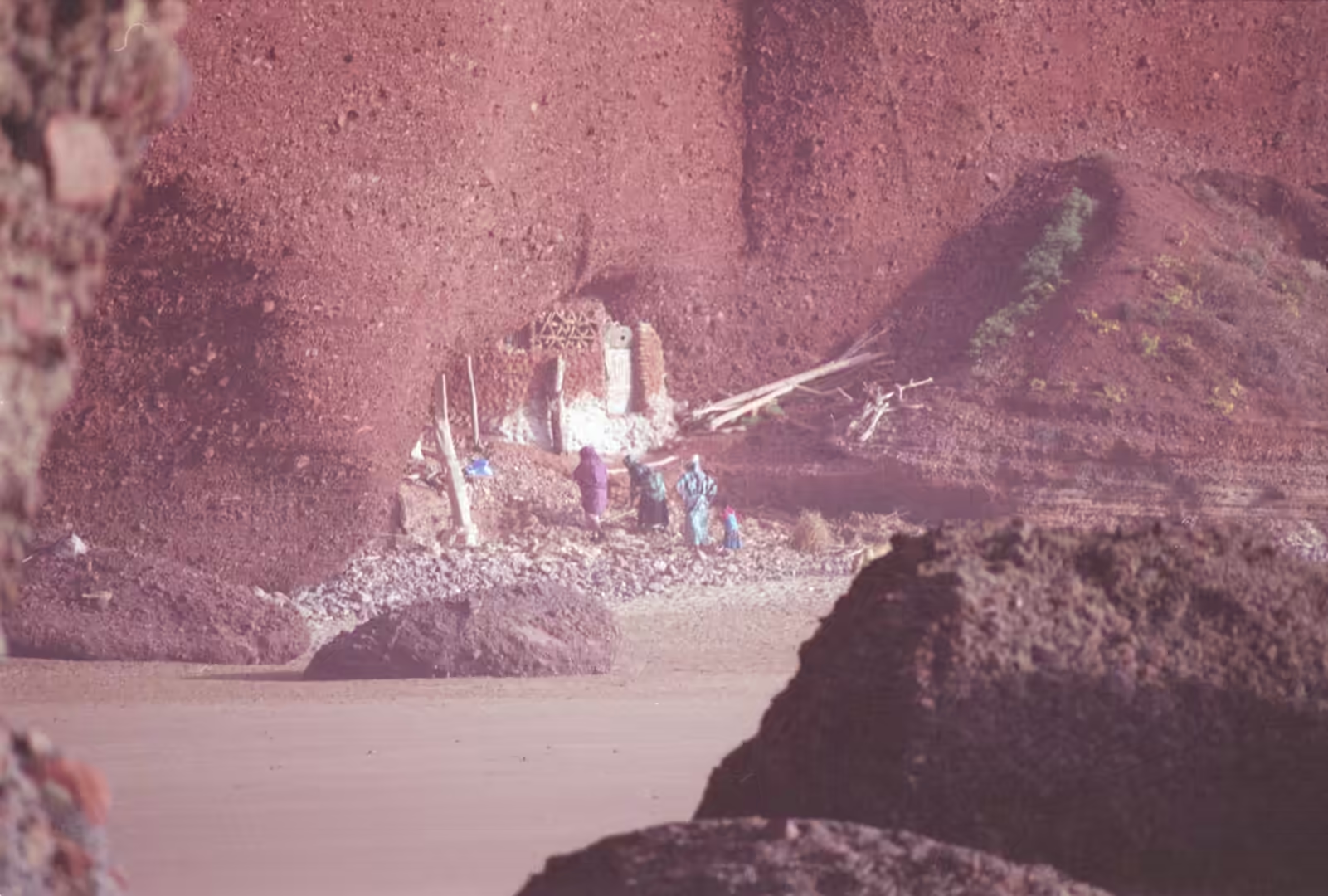
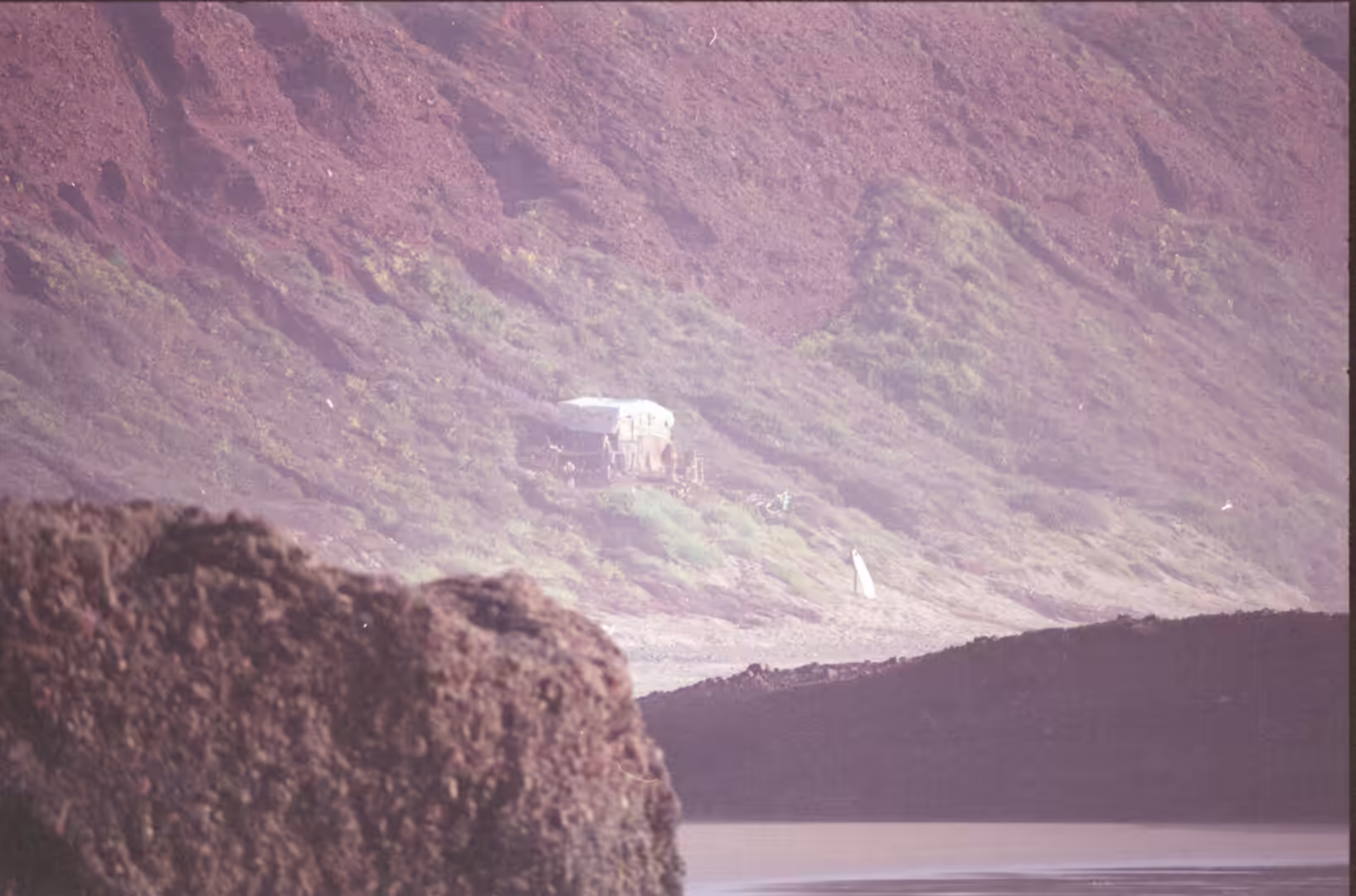
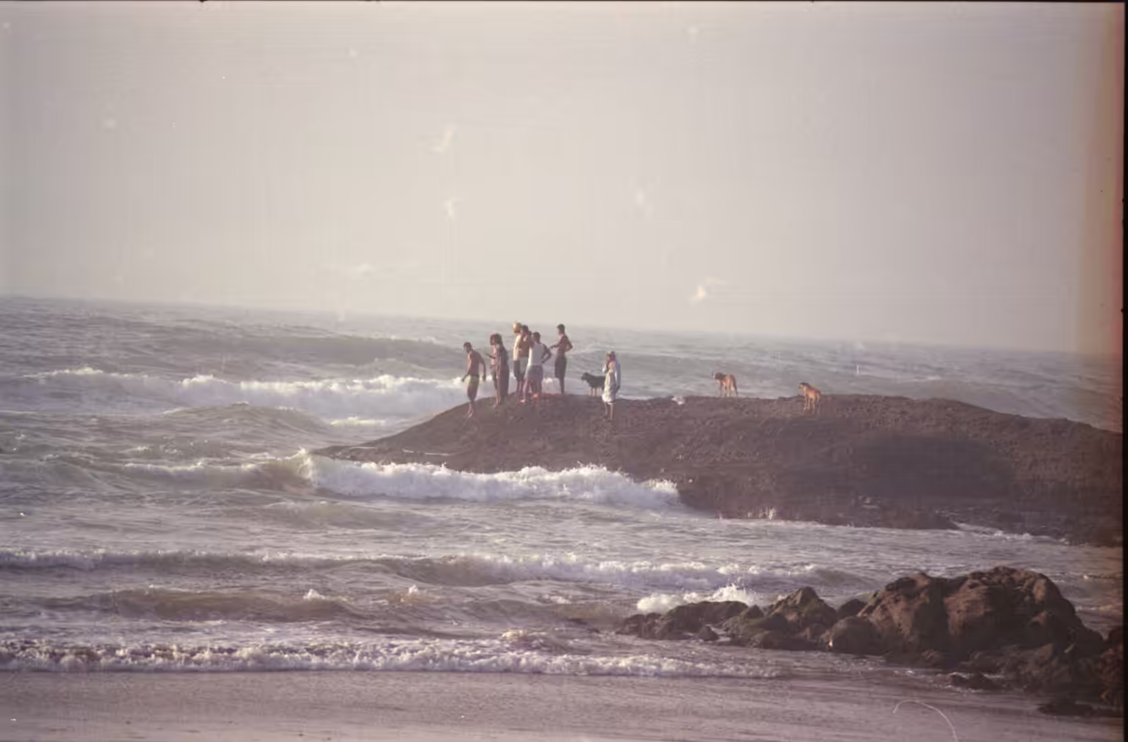
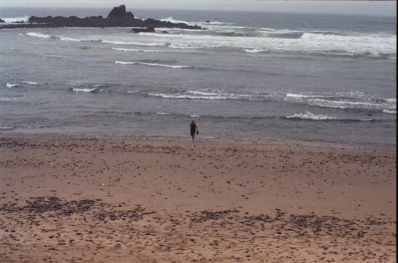
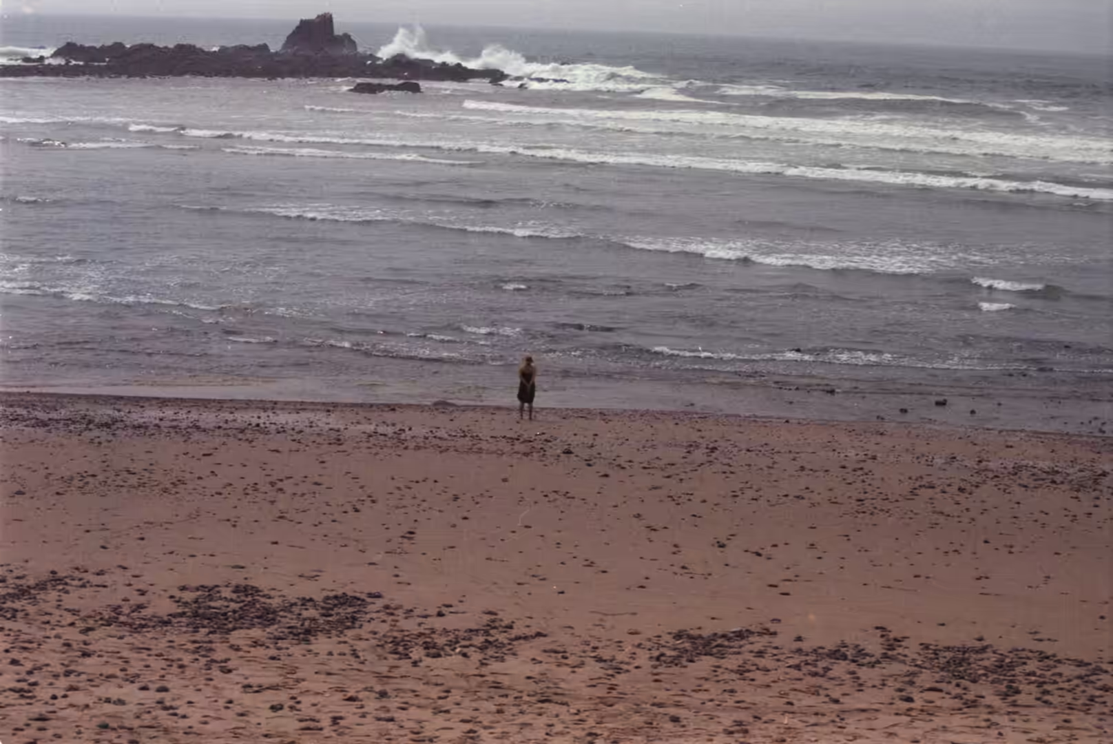
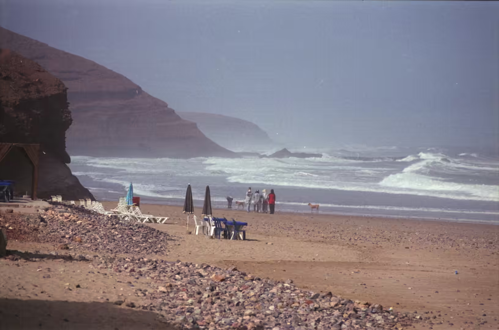
Legzira is a beach on the Atlantic coast of southern Morocco, about 10 kilometres north of the small city of Sidi Ifni and some 150 kilometres south of Agadir. The coast there is a succession of sandy bays cut into cliffs of red rock, and the beach is often named among the most beautiful in the world, best known for its long sunsets and for the rock formations that frame them. It belongs to the province of Sidi Ifni, which was created in 2009 out of the southern part of Tiznit province and lies in the region of Guelmim-Oued Noun. The province is rural in character, covers 3,790 square kilometres and is mostly mountainous, rising into the hills of the Aït Baâmrane; the 2014 census counted 115,691 inhabitants. Among the tourist sites of the province the beaches of Sidi Ifni, Mirleft and Legzira are listed first. The province borders Tiznit to the north, Tata to the east and Guelmim to the south, and the ocean to the west; besides Sidi Ifni itself its towns are Mirleft and Lakhsas, both small, and the rest of the population lives in rural communes strung along the coastal plain and the valleys behind it.
Sidi Ifni, the provincial capital, is a town of just over 20,000 people whose economy rests on fishing. A fishing port was completed there in 2000 and now serves as a base for exports of fish. The inhabitants are Shilha, the Chleuh group of the Aït Baâmrane tribe, and the town is the natural base for anyone visiting the beaches of this stretch of coast. In the season the road north to Legzira carries swimmers, surfers and walkers, and the beach itself is broad enough to absorb them: at low tide the sand runs back a long way between the cliffs, and at high water the same cliffs stand directly in the surf.
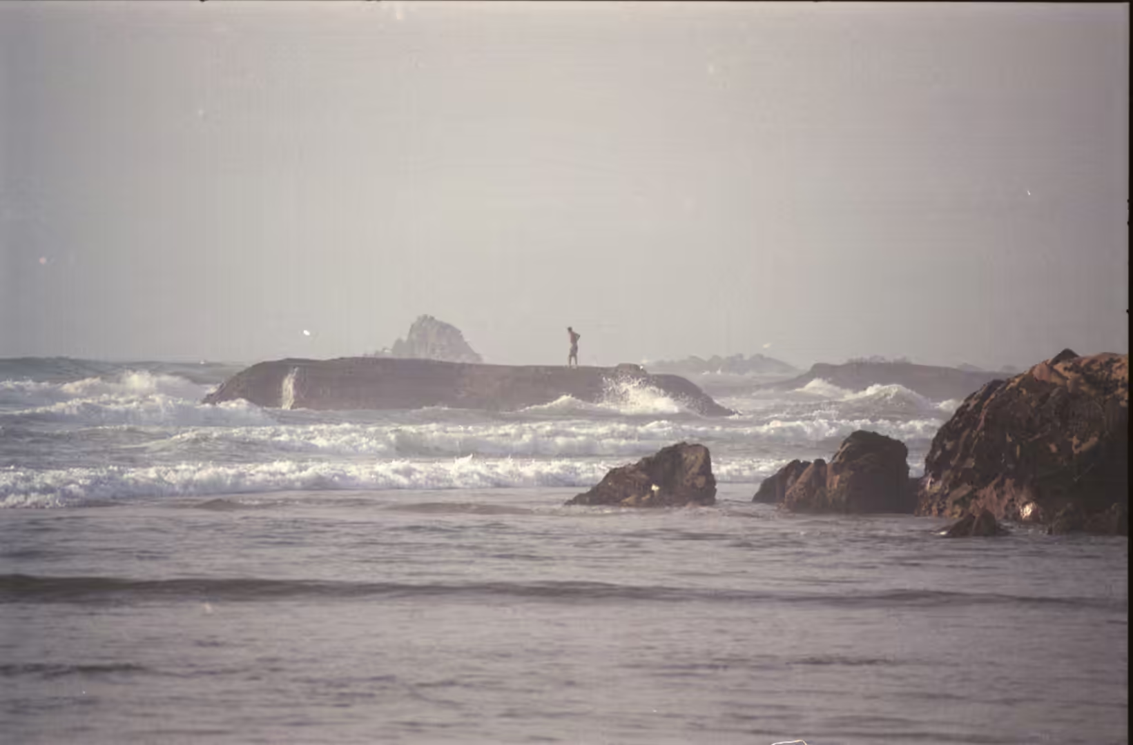
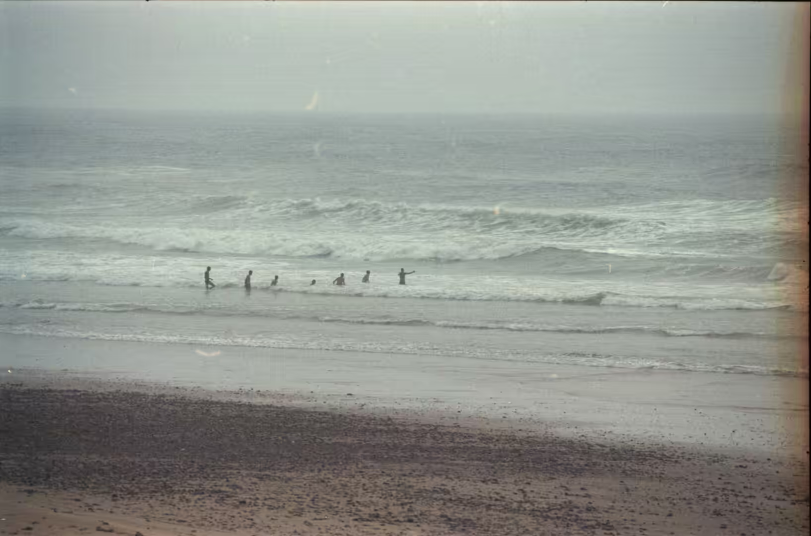
The whole coast is shaped by the ocean, since the water here is the open North Atlantic, the second largest of the world’s oceans, covering about 17 per cent of the surface of the planet. Tides are the periodic rise and fall of sea level caused chiefly by the gravitational pull of the Moon and the Sun, and on this shore they combine with a heavy Atlantic swell to work continuously on the base of the cliffs. The result is a low, changing coastline of red rock, sand and rubble, where the land loses material in one season and gains it in the next, and where the shape of a beach is never quite the same from one year to the next.
History
The region around Sidi Ifni has been the country of the Aït Baâmrane tribe for centuries. Its people lived from husbandry and traded with Europeans and with northern Morocco, acting as intermediaries in the traffic that crossed the Sahara, and the coast was known to sailors long before it was mapped or garrisoned. The Spanish were the first European power to establish themselves on the spot: in 1476 an enclave on the coast of present-day Sidi Ifni was occupied by forces from the Iberian peninsula and named Santa Cruz de la Mar Pequeña, and it remained in Spanish hands until 1524, when it was taken by forces of the Saadi sultanate.
Spain never abandoned the claim. A Hispano-Moroccan treaty of 1767, confirmed by the treaty of 1860, conceded to Spain a territory sufficient for the foundation of a fishing establishment in the Ifni region, although the ground was only effectively occupied in 1934. Franco later made the enclave a military base and the political centre of Spanish West Africa, and with financial support from Madrid the town developed quickly along a colonial plan: a grid of streets and avenues with an oval central square, around which the principal buildings were placed, among them the Spanish consulate, the governor’s palace, the cathedral and the town hall. The territory held by Spain shrank over the years until, in the 1960s, it was little more than a ring of a few kilometres around the town.
The end came in two stages. In the Ifni War, which ran from 23 November 1957 to 30 June 1958, the Moroccan Army of Liberation and allied Sahrawi tribes, some thirty thousand strong, fought a Spanish garrison of about ten thousand men supported from 1958 by a French contingent and by aircraft, and besieged Sidi Ifni for months; Spain won the military argument, Morocco the political one, and the war closed with the Treaty of Angra de Cintra. Spain finally abandoned Ifni in 1969, in accordance with United Nations resolution 2072 of 1965, and the town and its hinterland passed to Morocco. The memories of the departing Spanish community have been written about since, down to the death in 2001 of María Gómez, the last person of Spanish origin who had stayed. The province as it is drawn today was created in 2009 by detaching the southern part of the province of Tiznit.
Geology
The coast belongs to the Anti-Atlas, the range sometimes called the Lesser or Little Atlas. It is traditional Berber country, inhabited by the Chleuh and sparsely settled, with no large cities; its main town is Tafraoute, and its eastern prolongation is the Jbel Saghro, while the volcanic Jbel Sirwa, just over 3,300 metres high, forms its northern continuation towards the High Atlas. Along the southern side runs the much lower Jebel Bani. To the north of the range lies a plateau at about 1,700 to 1,800 metres, while to the south the land falls away to the Sahara highlands at roughly 700 metres, so that the Anti-Atlas forms a dry middle step between the High Atlas and the desert. Between these ridges the rock record is unusually complete and unusually old.
At Sidi Ifni the coast cuts into what geologists call the Sidi Ifni inlier, which contains intrusive and sedimentary rocks of Palaeoproterozoic age, some of the oldest in Morocco, with counterparts across the Atlantic in West Africa and Amazonia (Boger and others, 2025). Further east the Anti-Atlas preserves the record of a late Ordovician glaciation, when ice sheets advanced over what is now desert (Le Heron, 2007). The coastal block itself has moved up and down along the rifted margin of the Central Atlantic, a history that has been reconstructed by low-temperature thermochronology along a transect named after Sidi Ifni (Charton and others, 2022). The red rock of the cliffs seen from the beach is the visible surface of this very long story.
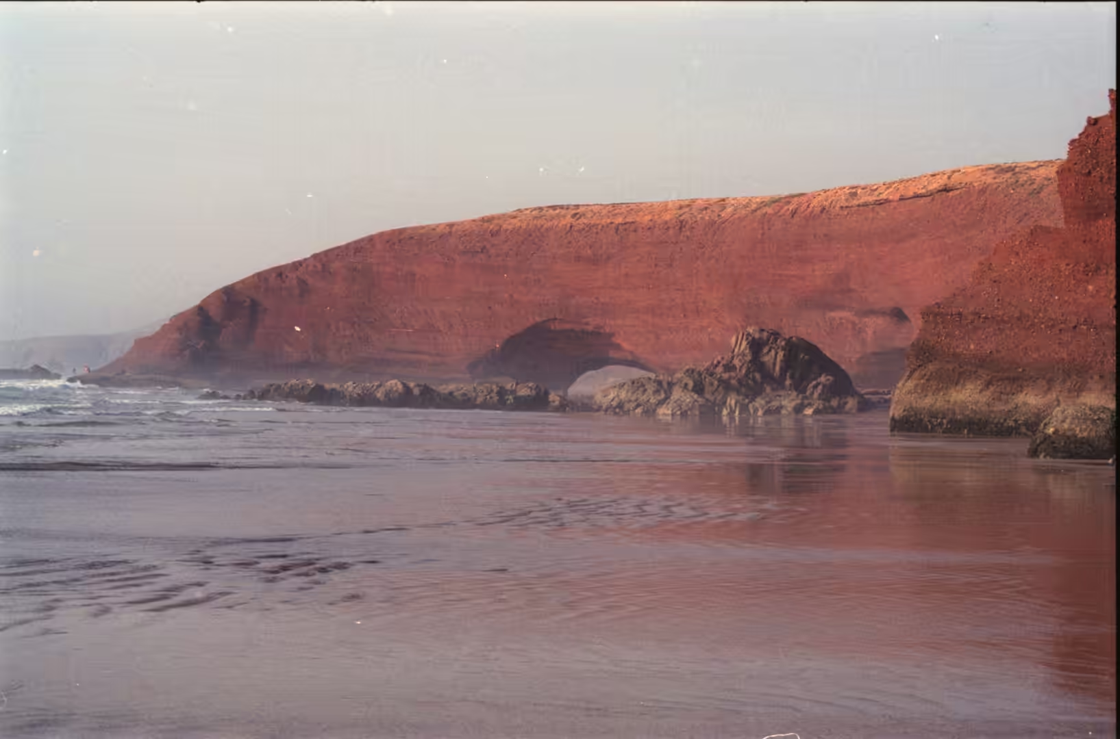
The arches for which the beach is known are products of the same erosion, working at a much faster rate. On a coast, two kinds of arch can form according to the lay of the rock, and most begin as narrow fins or sea stacks of sandstone or limestone with steep faces; the softer beds wear away into shallow shelters or alcoves on both sides of the stack, beneath a harder layer that acts as a caprock, and the alcoves grow until they meet underneath it. From then on the caprock itself continues to erode, and collapse is the eventual outcome, a pattern repeated at rock coasts around the world. At Legzira there were two large arches. The one in the foreground, with an estimated span of about eighteen metres, collapsed on 23 September 2016 and left a heap of red rubble on the sand; a crack had opened on its southern face in March of that year, and falls of rock became frequent from the middle of September. The cause was never established, though the movement of the sea was considered a likely factor. The second and larger arch, with a span estimated at some twenty-seven metres, was not affected and still stands further along the beach.
Such losses are normal on an exposed coast. The Azure Window in Malta fell in 2017 and Darwin’s Arch in the Galápagos in 2021, while London Bridge in Victoria, Australia, lost its landward connection as long ago as 1990, and on the Moroccan Atlantic coast storms and tsunamis have left layers of sand and rubble far inland of the present shoreline, a record that has been reconstructed from the sediments of the coastal plain (Khalfaoui and others, 2019). The beach at Legzira is not a fixed shape but a stage in a long process, and its outline in any one year is a configuration that will not return.
Things to See
The beach itself is the reason to come. Its sand runs between cliffs of red rock that rise directly from the water, cut by shelters and shallow caves, and the surviving arch stands in the surf line further along the bay, a frame for the evening light that made the place famous. At low tide the walking is easy along the whole length of the bay; at high water parts of the route are closed by the sea, and swimming is best left to those used to a heavy Atlantic swell, since the beach is open to the ocean with no sheltering headland.
Sidi Ifni, ten kilometres to the south, is worth a day of its own. The old Spanish town is laid out around the oval square, and the consulate, the governor’s palace, the cathedral and the town hall still stand around it, giving the place an appearance unlike any other town on this coast. Below it lies the fishing port, completed in 2000, where the catch is landed and the boats are repaired, and the town holds its own festival each year. The old quarter is compact enough to walk in an hour, and the contrast between its arcaded square and the plain concrete of the newer streets is part of what makes Sidi Ifni unlike the resort towns further north. The provincial authorities list the beaches of Sidi Ifni, Mirleft and Legzira as the chief attractions of the area, and Mirleft, a smaller resort on the same stretch of coast, can be visited in the same trip.
Inland the country changes quickly. Behind the coastal hills the Anti-Atlas rises in bare ridges, and the town of Tafraoute, described as the heartland of Berber Morocco, lies within a day’s drive to the south east. Between the coast and the mountains the road passes villages of earth and stone where the older economy of husbandry and small farming is still visible, and the market days bring the surrounding country into town. The landscape here is drier and emptier than the coast north of Agadir, and the sense of distance is part of what the region offers. Rock paintings in the range show that these mountains have been travelled and inhabited for a very long time, and the small museums and craft workshops of the towns along the coast keep part of that history on view.
For practical purposes the beach makes an easy day trip: it lies a short drive north of Sidi Ifni, and about three hours by road from Agadir to the north. The light is best in the late afternoon, when the cliffs turn a deeper red, and the season runs through the cooler months, when the Atlantic is at its most bracing and the beach at its emptiest on weekdays.
References
- Boger, S. D., Schulte, B., Benziane, F., Yazidi, A. & Fanning, C. M. (2025). Paleoproterozoic intrusive and sedimentary rocks of the Sidi Ifni Inlier (Anti-Atlas Mountains, Morocco) and their correlatives in West Africa and Amazonia. Journal of the Geological Society 182. doi.org/10.1144/jgs2024-219
- Charton, R., Bertotti, G., Arantegui, A. & Bulot, L. (2022). The Sidi Ifni transect across the rifted margin of Morocco (Central Atlantic): vertical movements constrained by low-temperature thermochronology. EarthArXiv preprint. doi.org/10.31223/X5PC9T
- Khalfaoui, O., Dezileau, L., Degeai, J.-P. & Snoussi, M. (2019). Reconstruction of past marine submersion events (storms and tsunamis) on the North Atlantic coast of Morocco. Natural Hazards and Earth System Sciences, discussion paper. doi.org/10.5194/nhess-2019-130
- Le Heron, D. P. (2007). Late Ordovician glacial record of the Anti-Atlas, Morocco. Sedimentary Geology 201, 93-110. doi.org/10.1016/j.sedgeo.2007.05.004
- Ojeda-Mata, M. (2023). De Ifni a Sidi Ifni. Illes i imperis, 273-278. DOI 10.31009/illesimperis.2023.i25.18
- Pandey, A. (2003). Nostalgic lives: memories of Maria in Sidi Ifni, Morocco. The Journal of North African Studies 8, 92-114. DOI 10.1080/13629380308718509
- The Guardian (2016). Rock archway collapses on to beach in Morocco. theguardian.com/world/2016/sep/25/morocco-legzira-beach-rock-archway-collapses
- Natural Arch and Bridge Society (2016). Major arch collapse at Legzira Beach, Morocco. naturalarches.org/blog/major-arch-collapse-at-legzira-beach-morocco
- Morocco World News (2016). Legzira Beach’s Archway Crumbles. moroccoworldnews.com/2016/09/106188/legzira-beachs-archways-crumble
- Moroccan National Tourist Office. Visit Morocco. visitmorocco.com/en
- Wikipedia contributors (2026). Sidi Ifni. en.wikipedia.org/wiki/Sidi_Ifni
- Wikipedia contributors (2026). Sidi Ifni. fr.wikipedia.org/wiki/Sidi_Ifni
- Wikipedia contributors (2026). Ifni War. en.wikipedia.org/wiki/Ifni_War
- Wikipedia contributors (2026). Guerre d’Ifni. fr.wikipedia.org/wiki/Guerre_d%27Ifni
- Wikipedia contributors (2026). Sidi Ifni Province. en.wikipedia.org/wiki/Sidi_Ifni_Province
- Wikipedia contributors (2026). Sea arch. en.wikipedia.org/wiki/Sea_arch
- Wikipedia contributors (2026). Anti-Atlas. en.wikipedia.org/wiki/Anti-Atlas