2015 USA - Analogue Pictures 1










Journal Notes
General
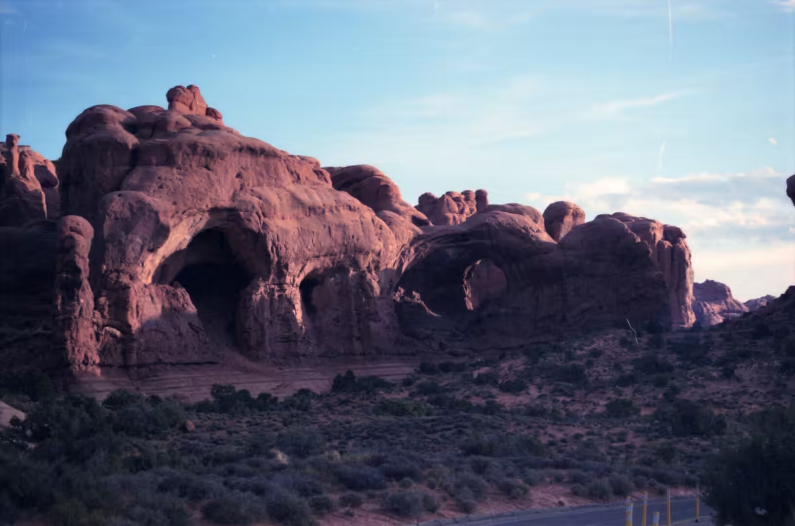
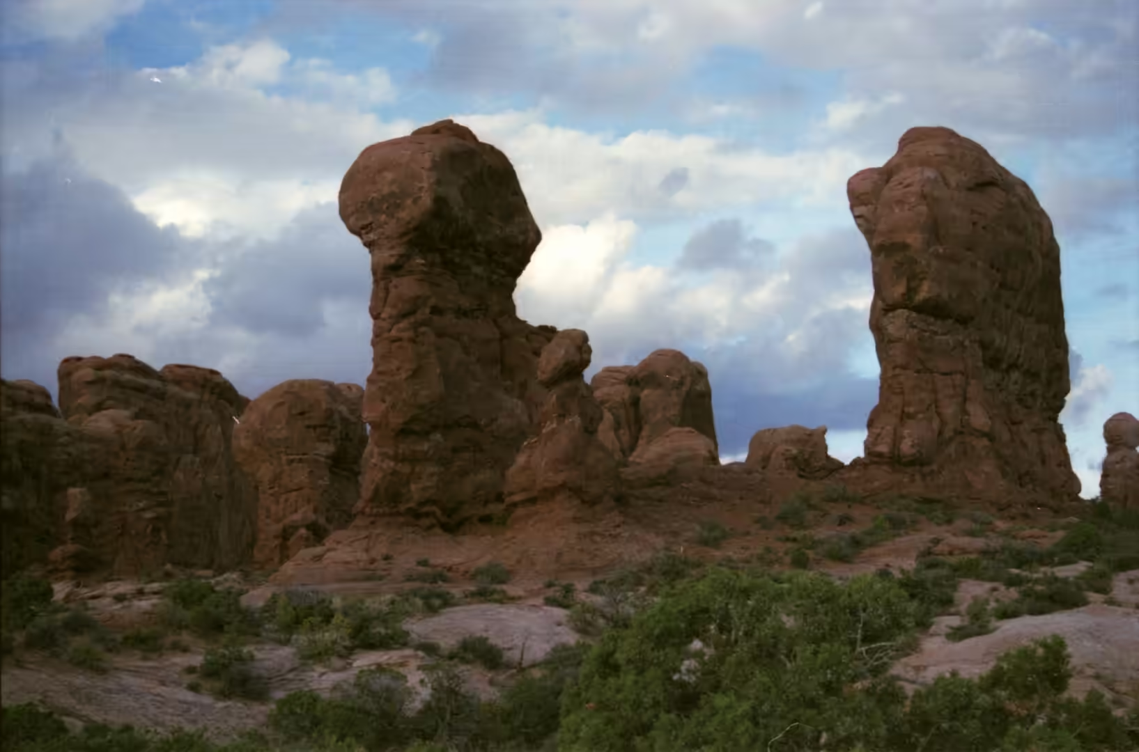
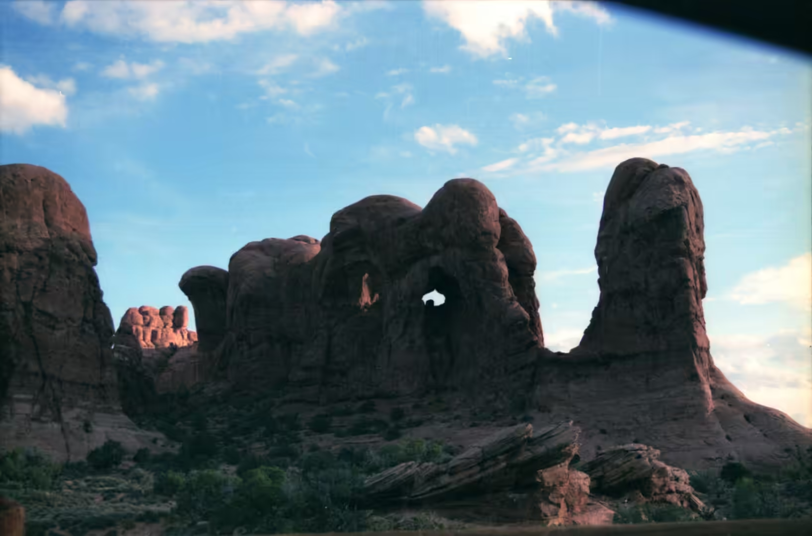
The first album of the journey belongs to the canyon country of south eastern Utah, and its subject is the arch. Arches National Park contains more than 2,000 natural sandstone arches, the highest density of any place on earth, and they come in every state of development: a hole beginning in a fin, a window with a thin span above it, a free standing frame, and finally a stump where a span has fallen. The park covers 310.31 square kilometres of high desert on the Colorado Plateau and lies a few miles north of Moab. It was declared a national monument in April 1929 and became a national park on 12 November 1971.
The arches are the product of an unusual arrangement of rock. Beneath the whole area lies an underground evaporite layer, a salt bed left by seas that dried out repeatedly, and salt behaves in a way that other rock does not: under the weight of sediment above it, it flows. As the salt moved it bent and cracked the younger layers over it, and those layers are what the wind and water have since cut into fins, spires, balanced rocks and windows. More than 1,500 metres of younger sediment was deposited above the salt and has mostly been eroded away, which is why the structures are visible at all.
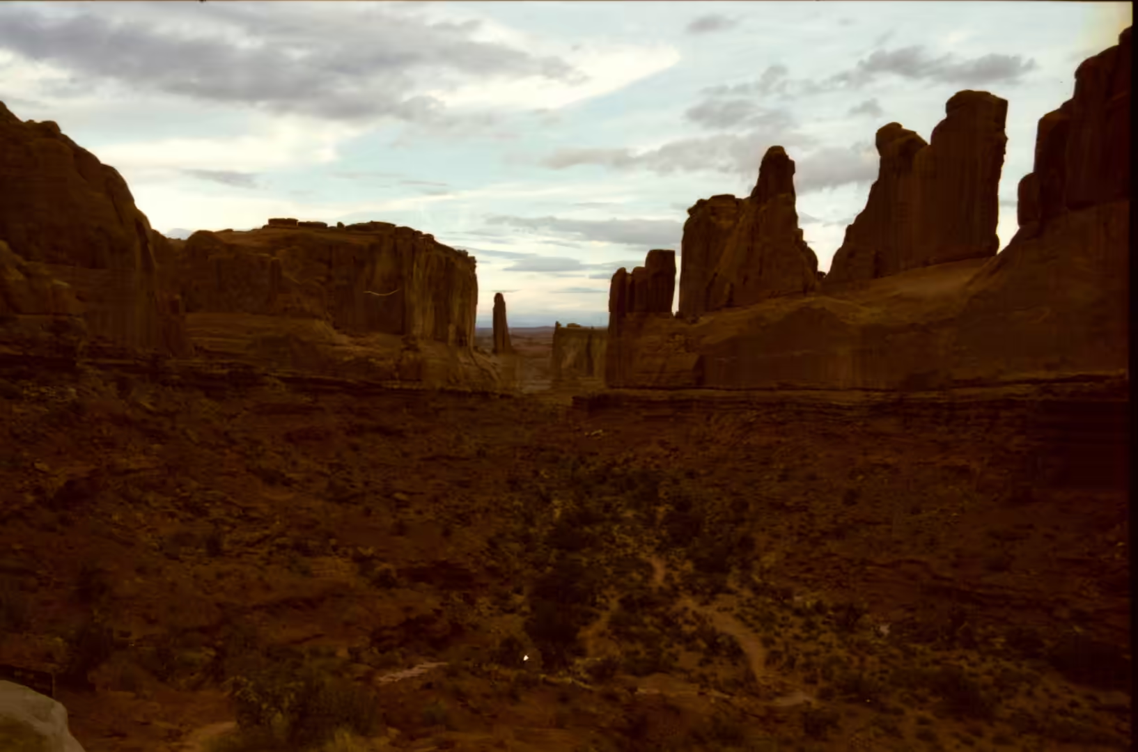
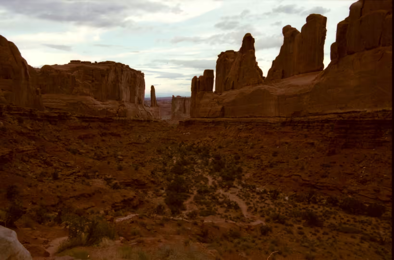
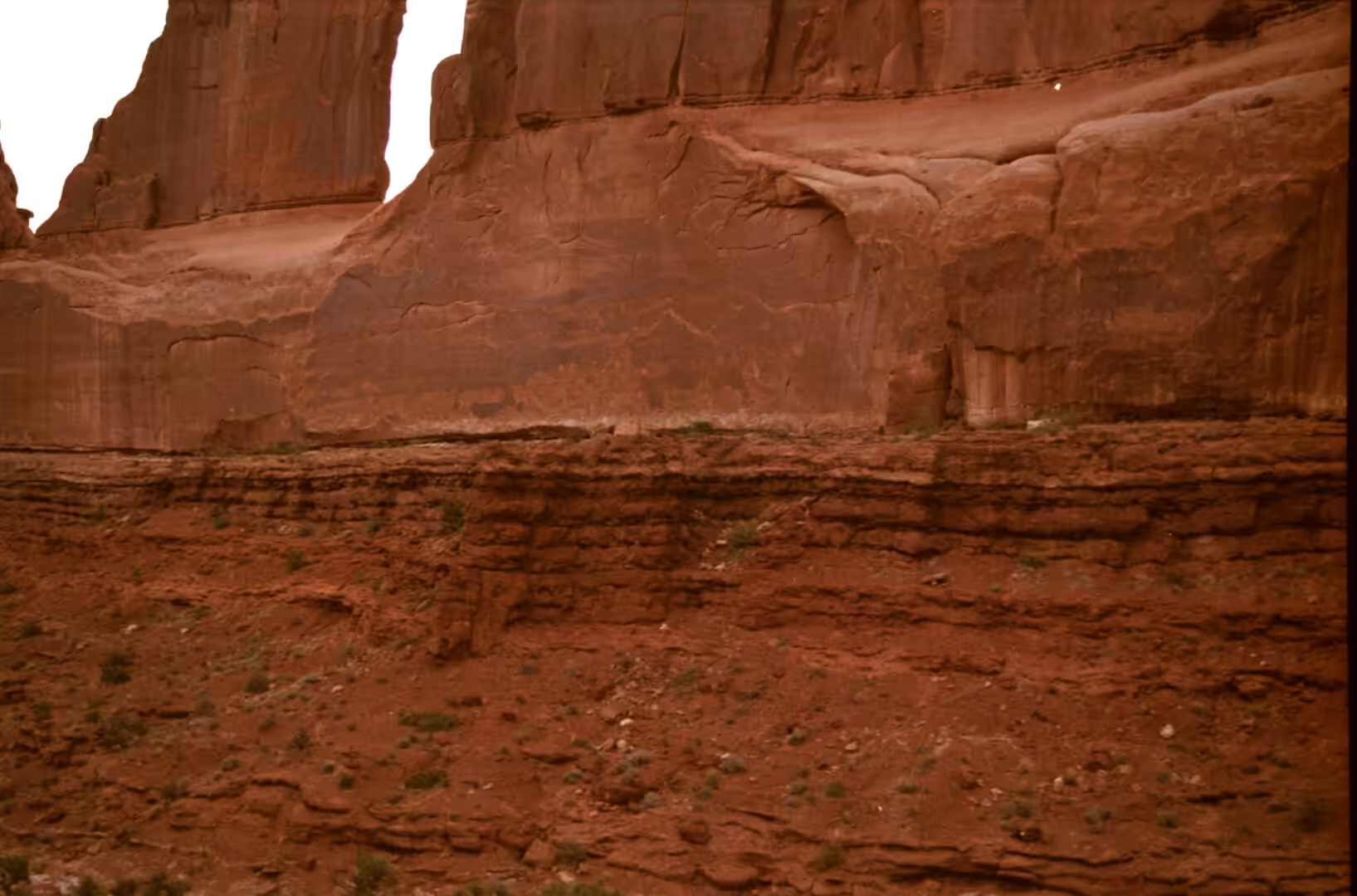
The rock that does the work is the Entrada Sandstone, a formation of Middle Jurassic age made up of river mudstones and siltstones and wind blown sandstone that extends across the Colorado Plateau. It was named in 1928 after Entrada Point in the San Rafael Swell, and it is divided into members, of which the Slick Rock Member and the Dewey Bridge Member are the two that decide the local scenery. The sandstone preserves the cross bedding of the dunes it was built from, so the walls of the park show the original slope of the sand inside the rock, layer upon layer of it, tilted and then cut across by the erosion that followed.
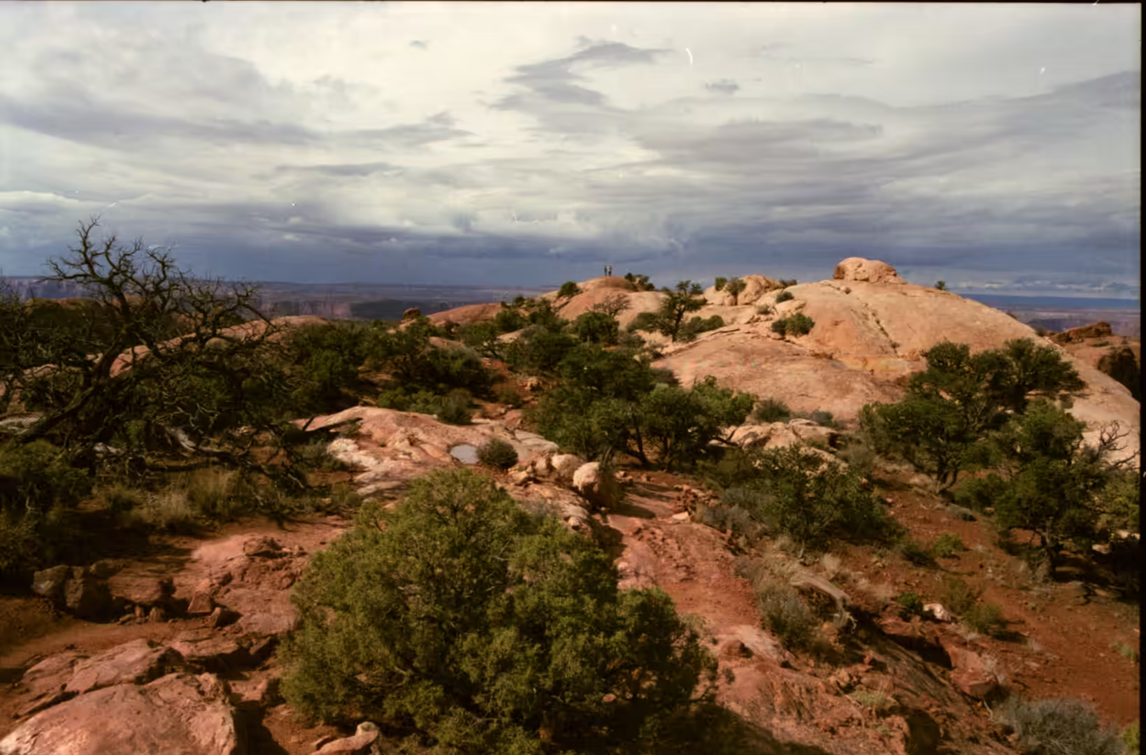
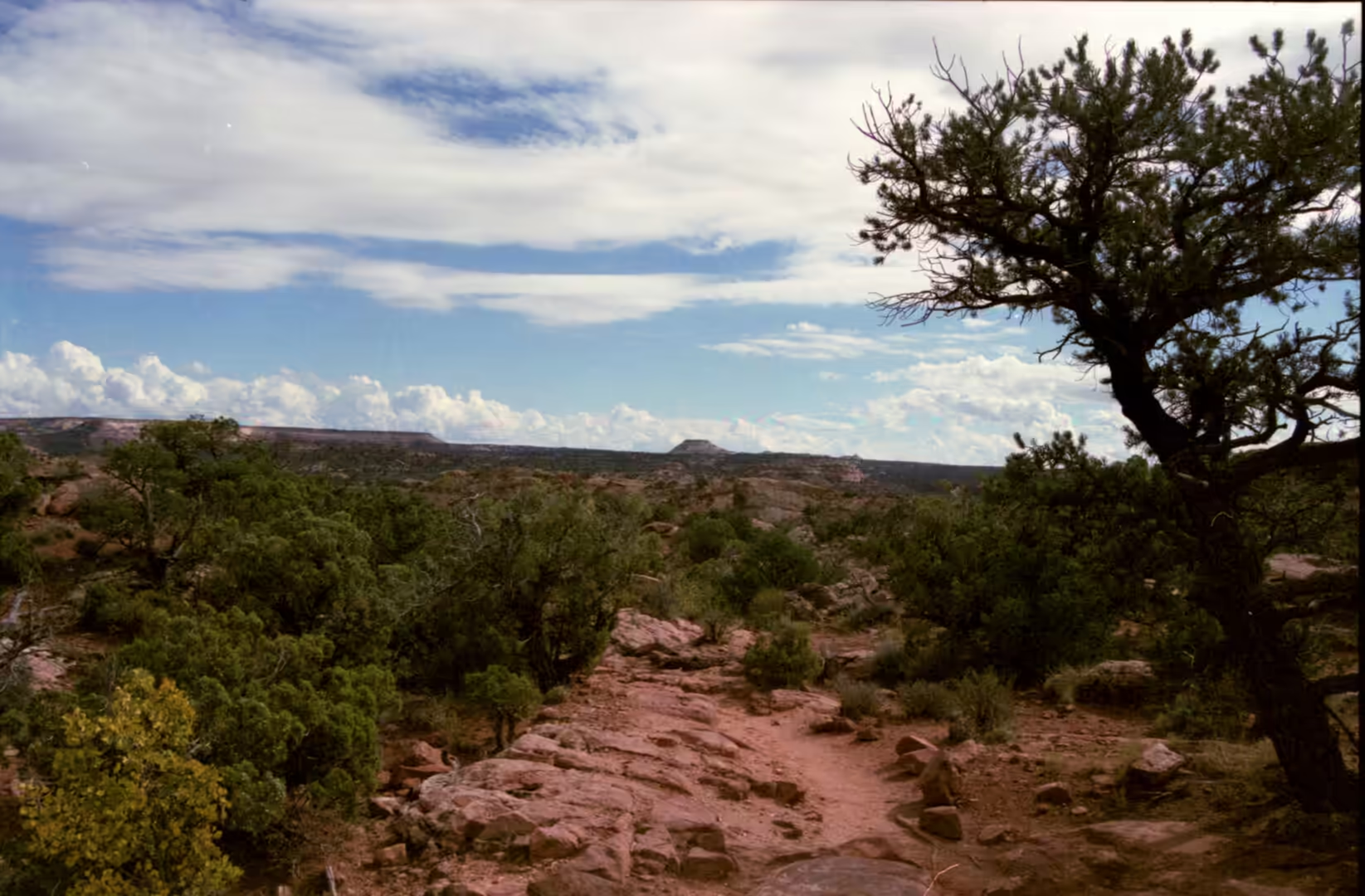
Around the arches the country is dry, high and sparsely covered. The park receives on average less than 250 millimetres of rain a year, and the highest point is at Elephant Butte while the lowest is at the visitor centre. Between the rock formations the ground carries prickly pear, Indian ricegrass, bunch grasses, yucca, pinyon pine and four winged saltbush, and over much of it lies a biological soil crust of cyanobacteria, lichens, mosses, green algae and microfungi. That crust holds the surface together and fixes nitrogen, and it is the reason walkers are asked to keep to trails and rock rather than to cut across the open ground.
History
People have lived in and passed through this country for about ten thousand years. Hunter gatherers moved into the area at the end of the last ice age and found pockets of chert and chalcedony in Courthouse Wash and Salt Valley, which they worked into stone tools, and roughly two thousand years ago some of these groups began to farm, with ancestral Puebloan farming in the region reaching its height between 500 and 1300 AD. Few dwellings have been found inside the present park, because the ground offers little shelter, but the trails and the fields were here, and the Ute left petroglyphs that can still be seen beside the path to Delicate Arch.
The nineteenth and early twentieth centuries brought ranchers, prospectors and finally the first conservationists. The names given to the arches were coined by the people who worked the country: Delicate Arch was known to local cowboys as the Chaps and as the Schoolmarm’s Bloomers, and over the years it was also called Bloomers Arch, Marys Bloomers, Old Maids Bloomers, Pants Crotch, Salt Wash Arch and School Marms Pants. The arch played no part in the original designation of the monument, which was made for the scenery as a whole, and it became the emblem of Utah only later, appearing on the state licence plate and on a stamp for the centennial of statehood in 1896.
The park was created partly to stop the removal of what it contained. Collecting was uncontrolled in the early years, and the same period saw the naming and the first scientific exploration of the features: Landscape Arch, in the Devils Garden, was named by Frank Beckwith, who led an expedition into the area in the winter of 1933 and 1934. The monument was enlarged over the following decades and became a national park in 1971. Visitation has grown steadily since, passing 1.8 million in 2021, which is a great many people for a single road.
What the visitors come to see is a process rather than a monument, and the park’s recent history includes the loss of parts of it. A large slab fell from Landscape Arch in 1991 and two more large rockfalls followed in 1995, after which the ground beneath the span was closed. Balanced Rock had a smaller companion known as Chip Off the Old Block, which collapsed in the winter of 1975 and 1976. Every one of these events was a normal step in the life of the rock, and the fact that they happen within living memory is what makes the landscape legible.
Geology
An arch begins as a wall. The sandstone of the plateau is jointed in parallel fractures, and water entering those joints does the work of separation: it freezes and thaws, dissolves the mineral cement between the grains, and carries material away, so that a solid mass is divided into long thin fins. Once a fin stands free, its base is attacked from both sides by wind and rain until a hollow forms, and the hollows on opposite faces meet to make an opening. The opening widens as the span above it is thinned by the same processes, and eventually the span falls, leaving the two stumps that are the last stage of an arch.
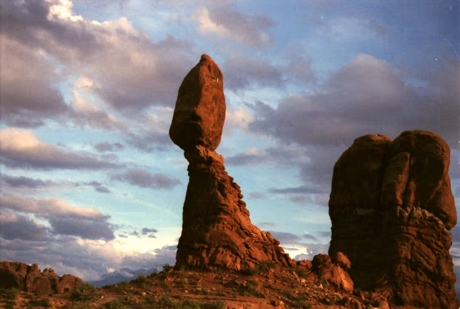
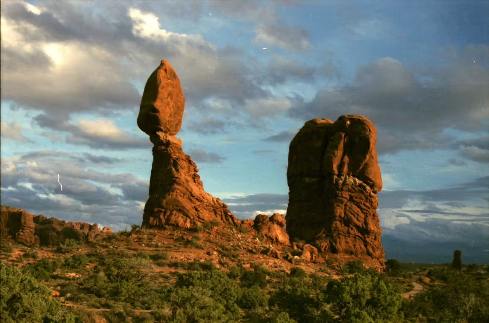
Where the rock is layered in hard and soft members, the result is a pedestal. Balanced Rock is the standard example and the most visited: a block of the hard Slick Rock Member sits on a column of the softer Dewey Bridge Member, which erodes faster than the rock it carries. The whole feature is 39 metres high, with the balancing block rising about 17 metres above its base, and it weighs approximately 3,577 tons, which makes it the largest of its kind in the park. Because the pedestal is wearing away and the block is not, the feature has a limited future; the park expects it to collapse, as its smaller neighbour did.
Length is measured with care in a place like this, and the numbers are surprising. Landscape Arch in the Devils Garden is considered by the Natural Arch and Bridge Society the fifth longest natural arch in the world, after four arches in China; its span was measured in 2004 at about 290 feet, at a height of 77.5 feet, and it is the longest arch in the park. The same society measured the slightly shorter Kolob Arch in Zion National Park at about 287 feet in 2006, so the difference between the two is smaller than the distance between their car parks.
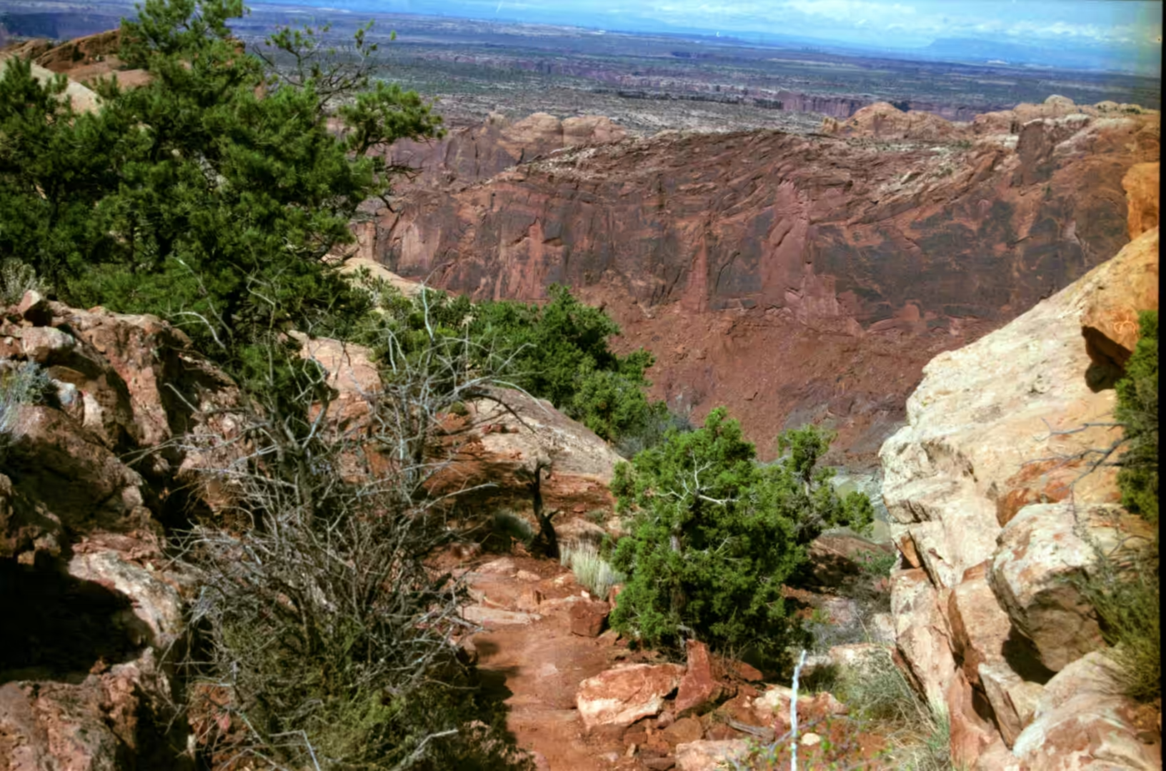
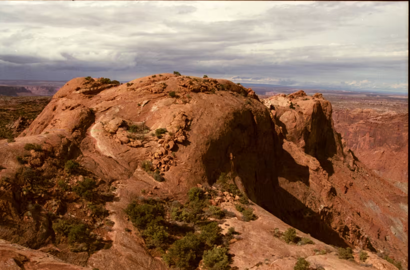
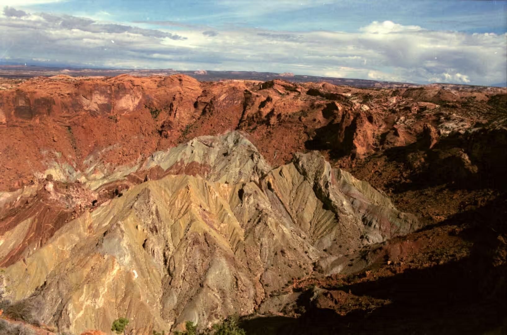
Beyond the arches the park shows the mechanics of the whole plateau. The Fiery Furnace is an area of maze like narrow passages and tall rock columns where the joints have been widened into corridors, and the Devils Garden is a ridge along which many arches and columns are scattered in a line. Upheaval Dome, west of the main road, is the most argued about feature in the region: one explanation is that it was formed by the movement of the Paradox salt bed, creating a salt dome, but more recent studies favour a meteorite impact. Either way it is a crater in the middle of a landscape built by salt, and the trail to its rim passes a sign explaining the puzzle.
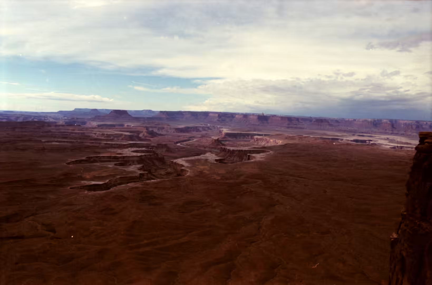
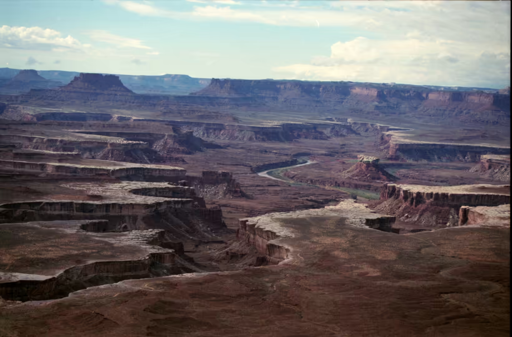
The same landscape continues west in the neighbouring park, and the comparison is instructive. There the great mesa of the Island in the Sky stands between two rivers, with the White Rim, a sandstone bench, about 370 metres below it and the rivers another 300 metres below that, and the rim road connects a series of overlooks above the drop. Mesa Arch and the Green River Overlook are both reached by short walks, and from Grand View Point the canyon opens towards Monument Basin in a panorama of layered cliffs. Rafts run the rapids of Cataract Canyon further south, and the Shafer Canyon Road climbs the cliff face on a track that was built for mining. The rock of the two parks is the same stack of sedimentary beds, cut at different depths by different rivers, and the arches of one are the towers and mesas of the other seen from a different angle.
Things to See
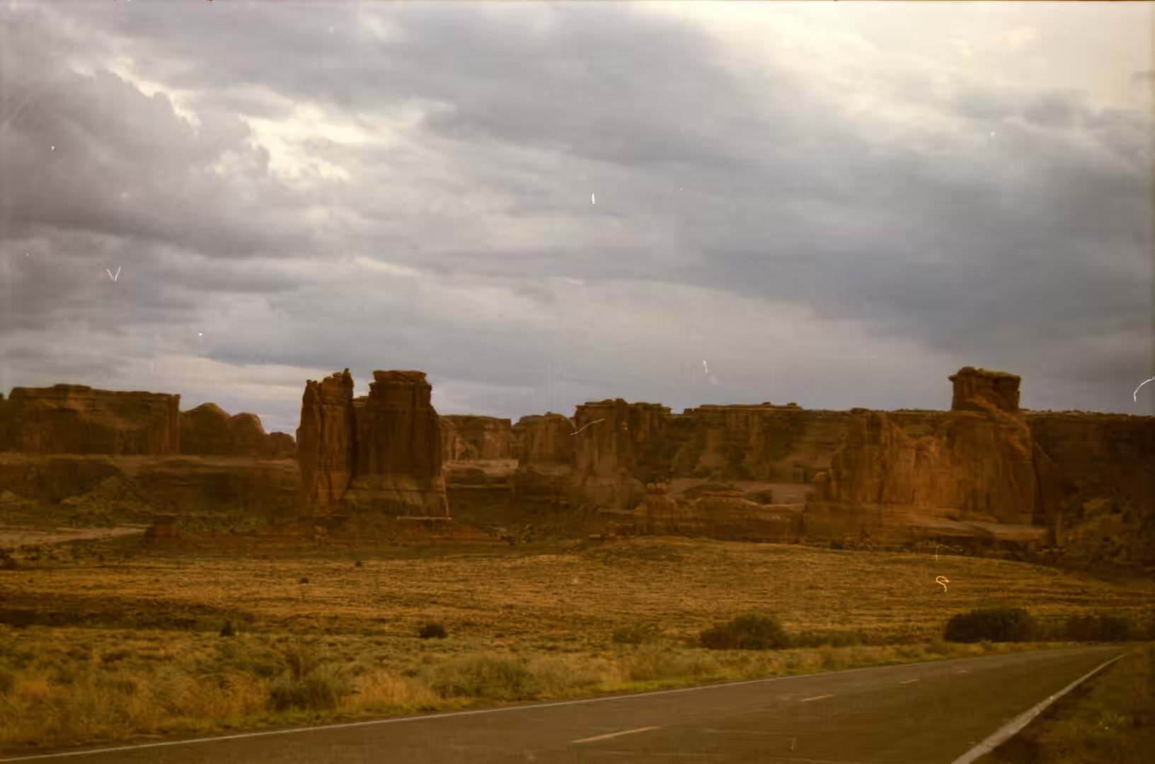
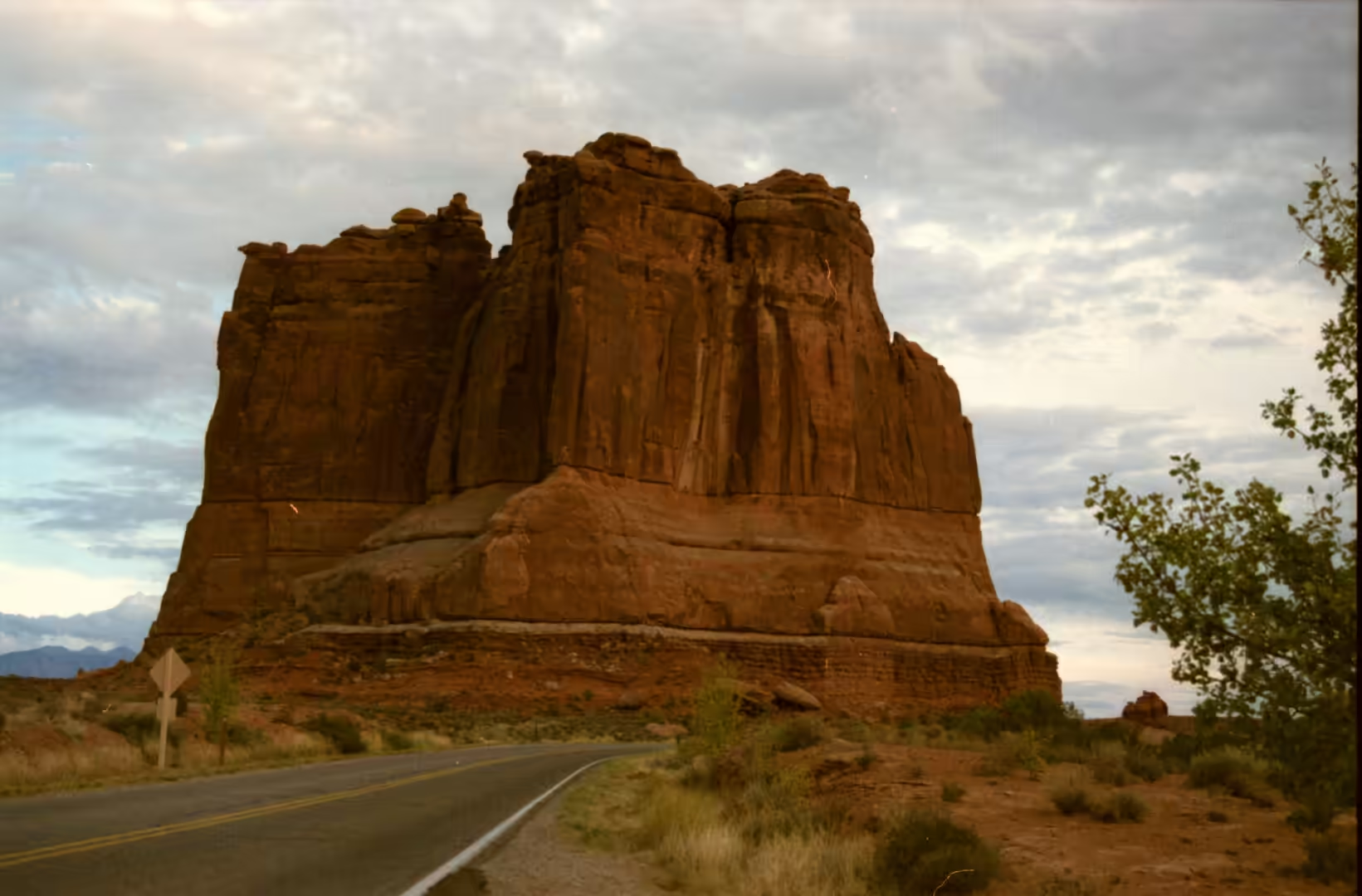
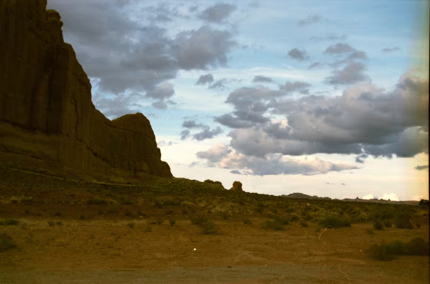
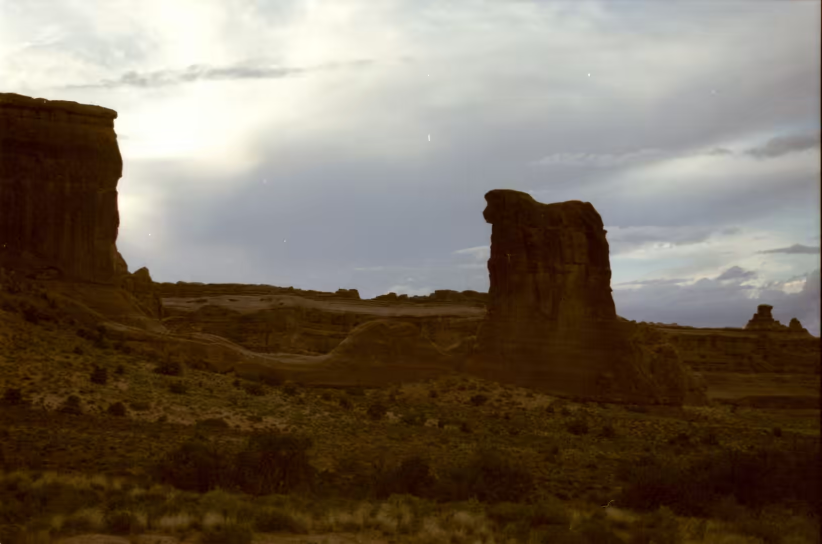
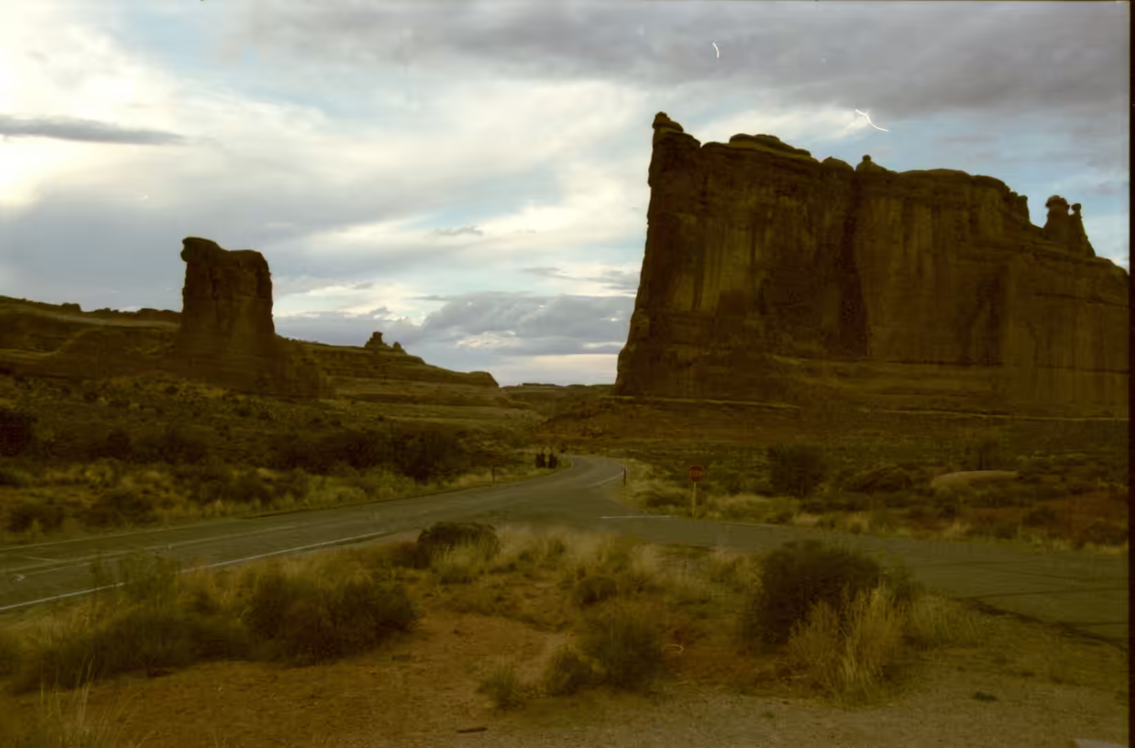
A day in the park usually begins with the drive from the entrance to the Windows section, because the road lays out the geology in order. Red sandstone cliffs stand beside the paved surface, turnouts give views across a desert basin with juniper and distant mountains, and the highway itself winds between rock formations that stand like walls on either side. The Windows section holds several arches within a short walk of one another, including Double Arch, where two openings share a common end, and the trails are short, flat and easy, which makes this the busiest part of the park.
Balanced Rock comes next on the same road, about 9.2 miles from the entrance, and it can be walked around in twenty minutes. The path circles the base and shows the pedestal from every side, and the difference between the hard cap and the soft column is visible without any explanation. In the late afternoon the rock glows, and a second formation nearby provides a comparison of scale. Because it is one of the few features clearly visible from the road, it is also the one that most visitors see first, usually from a car window.
Delicate Arch is the walk the day should be built around. It stands free on the rim of a bowl of slickrock, reached either by a steady climb of about three miles with little shade, or by a much shorter walk to a lower viewpoint from which the arch is seen at a distance across the canyon. The arch is depicted on the state licence plate and on a postage stamp for the centennial of Utah statehood, and the torch relay for the 2002 Winter Olympics passed through it. In the last hour of daylight it turns from pale orange to deep red while people gather along the opposite ledge to watch.
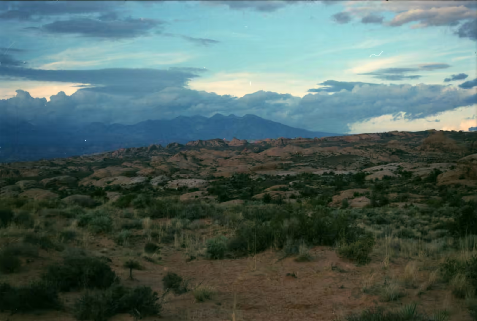
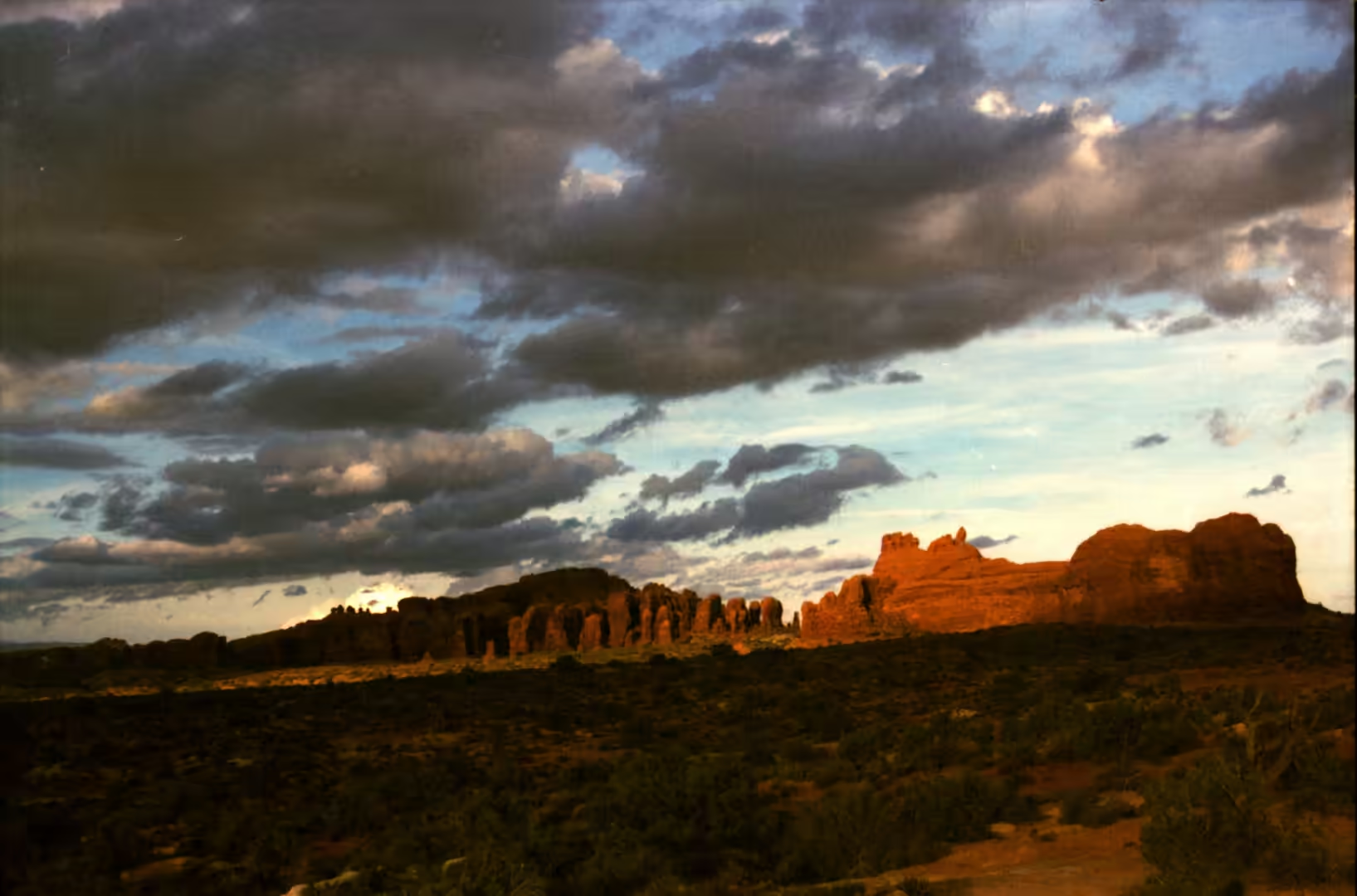
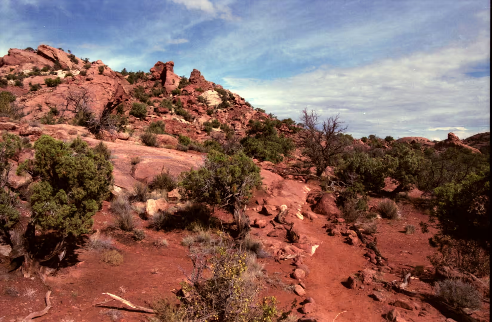
The last stretch of road runs to the Devils Garden, and beyond it to the canyon rim of the neighbouring park. Trails cross slickrock and sandy washes, juniper grows in the shelter of the rock, and collared lizards and the occasional rattlesnake move between the stones; the yucca moth and its plant, and the cactus, are part of the same community. Where a river has cut through the plateau, as at the Green River and Colorado river canyons further west, the view opens over layered cliffs and a winding river far below, and the whole structure that produced the arches can be seen at once. Leaving the park at dusk, the light on the fins lasts a long time, and the road back to Moab runs through open country with the La Sal mountains on the horizon.
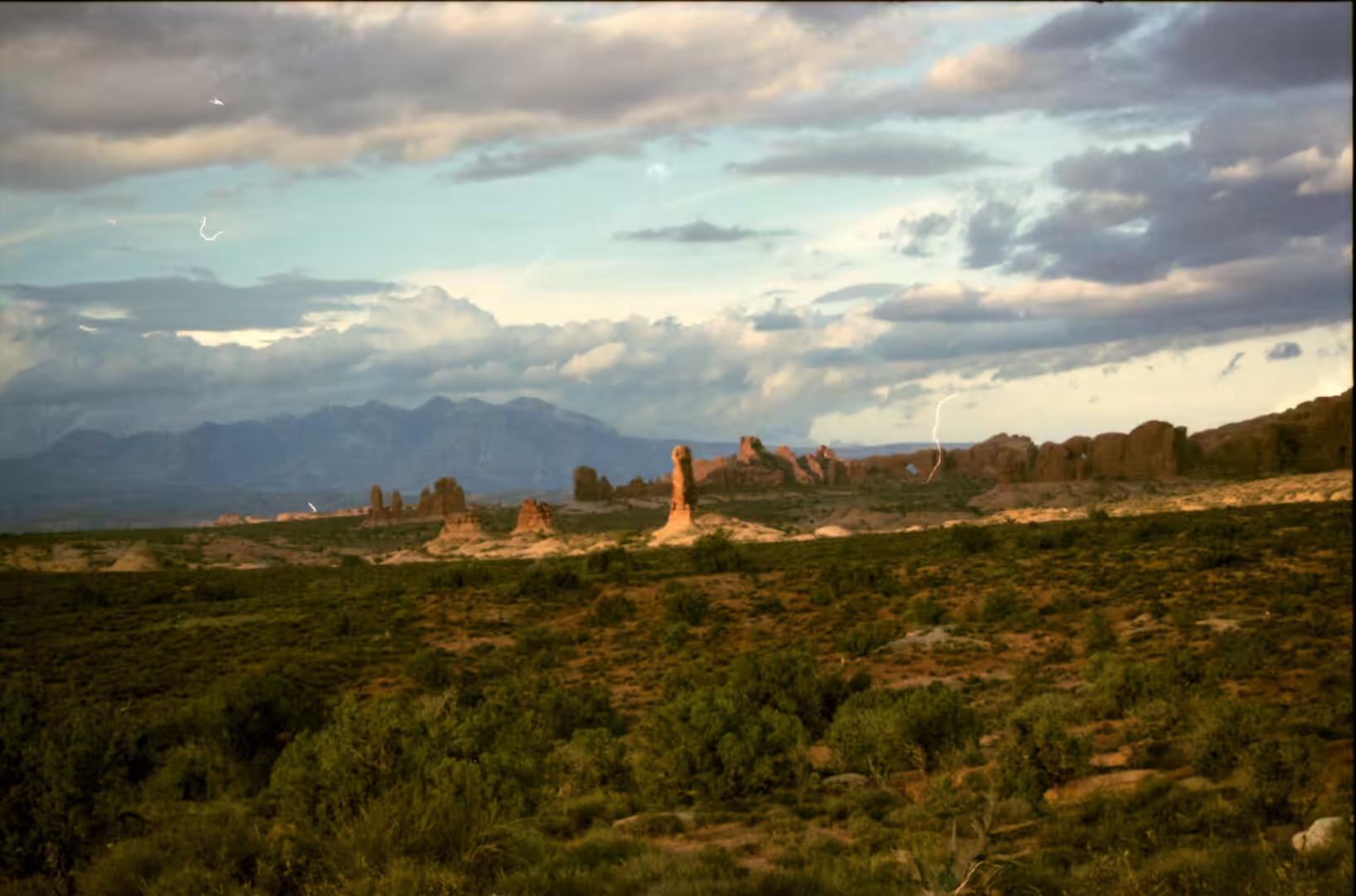
The named features in the Devils Garden and around it are worth collecting on foot. Broken Arch, Skyline Arch, Double O Arch, Navajo Arch, Partition Arch, Pine Tree Arch, Tunnel Arch, Sand Dune Arch and the Three Gossips all stand within a few miles of one another, some beside the road and some at the end of a trail, and each shows a slightly different stage of the same process. A trail leads between tall fins of red sandstone towards distant towers, and another crosses a plateau dotted with juniper. In the canyon country to the west, Druid Arch stands in the Needles district at the end of a longer walk, and the dry washes between the rock ledges carry deep sand that makes the going slow.
References
- Chamberlin, R. M. (1989). The Laramide Zuni uplift, southeastern Colorado Plateau. Southeastern Colorado Plateau, New Mexico Geological Society Guidebook 40. doi.org/10.56577/ffc-40.81
- Cruikshank, K. M. & Aydin, A. (1994). Role of fracture localization in arch formation, Arches National Park, Utah. Geological Society of America Bulletin 106, 879-891. doi.org/10.1130/0016-7606(1994)106<0879:roflia>2.3.co;2
- Cruikshank, K. M. & Aydin, A. (1995). Unweaving the joints in Entrada Sandstone, Arches National Park, Utah, U.S.A.. Journal of Structural Geology 17, 409-421. doi.org/10.1016/0191-8141(94)00061-4
- Pederson, J. L. & others (2002). Colorado Plateau uplift and erosion evaluated using GIS. GSA Today 12, 4-10. doi.org/10.1130/1052-5173(2002)012<0004:cpuaee>2.0.co;2
- Wikipedia contributors (2026). Arches National Park. en.wikipedia.org/wiki/Arches_National_Park
- Wikipedia contributors (2026). Balanced Rock. en.wikipedia.org/wiki/Balanced_Rock
- Wikipedia contributors (2026). Canyonlands National Park. en.wikipedia.org/wiki/Canyonlands_National_Park
- Wikipedia contributors (2026). Colorado Plateau. en.wikipedia.org/wiki/Colorado_Plateau
- Wikipedia contributors (2026). Delicate Arch. en.wikipedia.org/wiki/Delicate_Arch
- Wikipedia contributors (2026). Entrada Sandstone. en.wikipedia.org/wiki/Entrada_Sandstone
- Wikipedia contributors (2026). Fiery Furnace (Arches National Park). en.wikipedia.org/wiki/Fiery_Furnace_(Arches_National_Park)
- Wikipedia contributors (2026). Fin (geology). en.wikipedia.org/wiki/Fin_(geology)
- Wikipedia contributors (2026). Green River (Colorado River tributary). en.wikipedia.org/wiki/Green_River_(Colorado_River_tributary)
- Wikipedia contributors (2026). Island in the Sky. en.wikipedia.org/wiki/Island_in_the_Sky
- Wikipedia contributors (2026). Landscape Arch. en.wikipedia.org/wiki/Landscape_Arch
- Wikipedia contributors (2026). Mesa Arch. en.wikipedia.org/wiki/Mesa_Arch
- Wikipedia contributors (2026). Natural arch. en.wikipedia.org/wiki/Natural_arch
- Wikipedia contributors (2026). Upheaval Dome. en.wikipedia.org/wiki/Upheaval_Dome