2015 USA - Analogue Pictures 2

Journal Notes
General
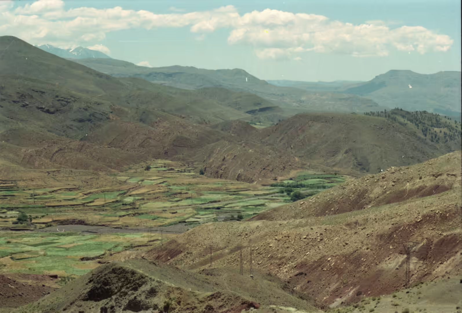
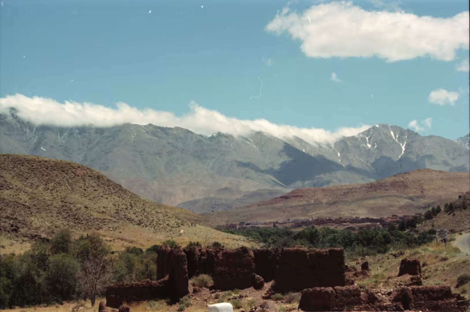
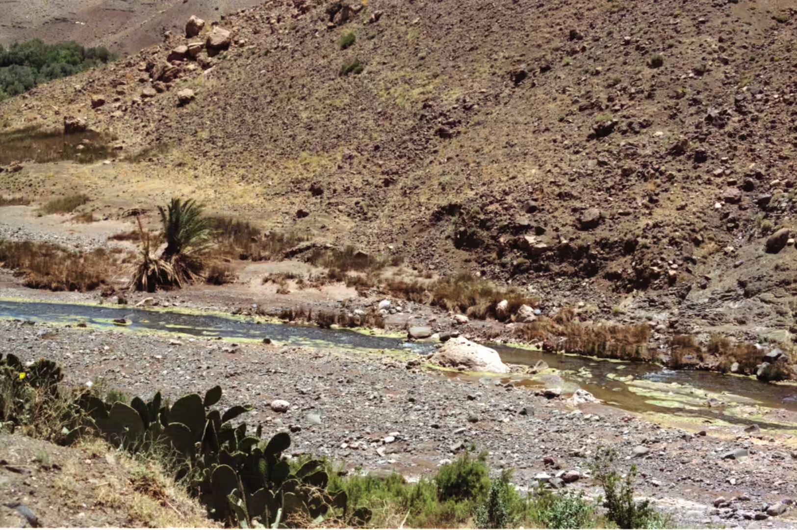
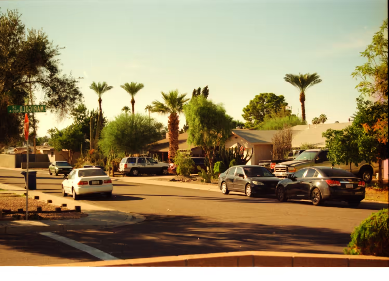
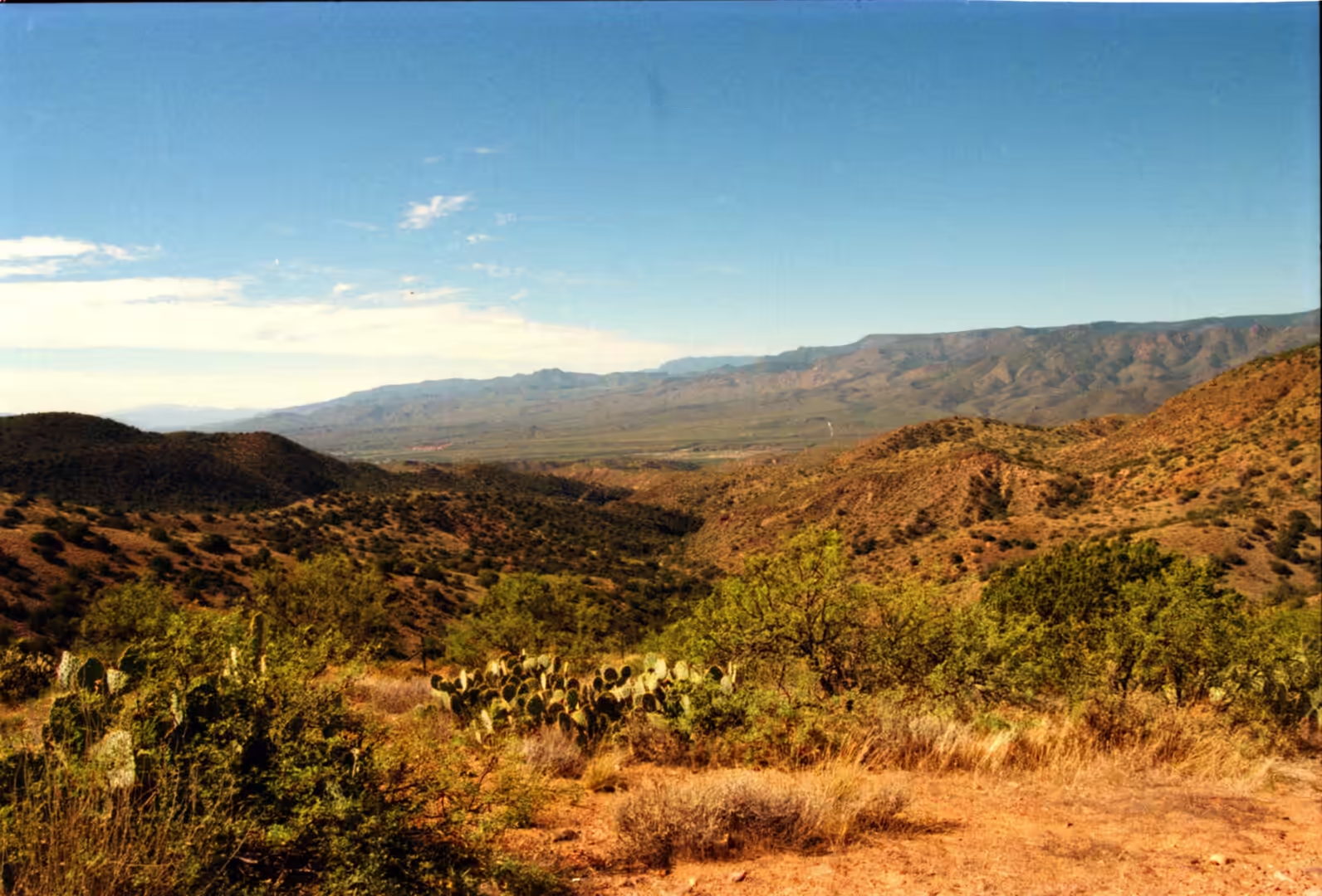
The second album belongs to the desert and to the mountains that rise out of it. Its subjects are the green terraced fields of a valley among brown hills, ruins in a valley beneath snow capped peaks, a snowy summit above a tree lined valley, a palm tree and cacti beside a rocky creek, and streets and yards in small settlements where the desert meets the mountains. This is the country of southern Arizona and the edges of New Mexico, where the Sonoran Desert in the low ground gives way within a few thousand feet of climbing to pine forest on the summits of the ranges.
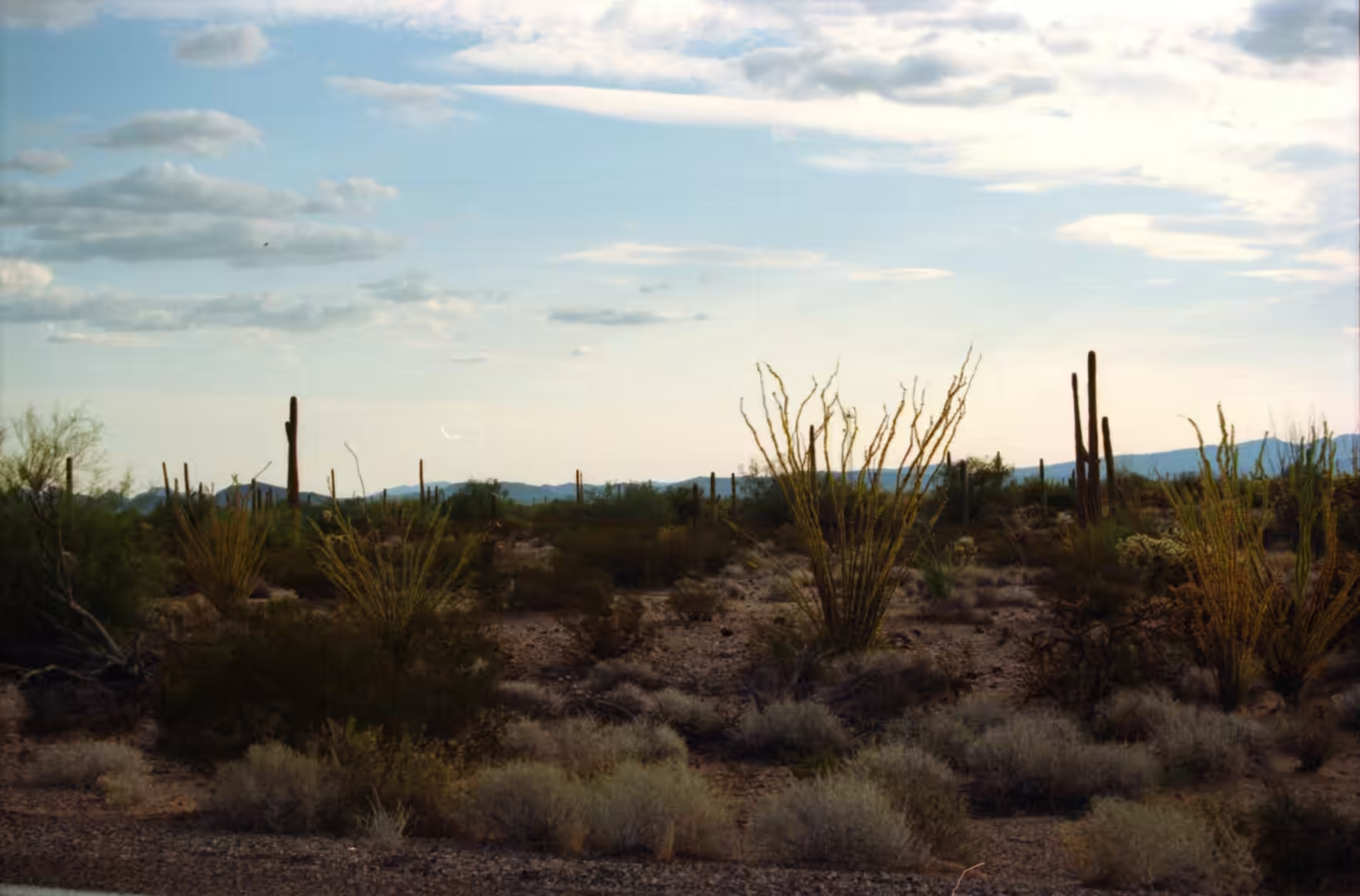
The Sonoran Desert is a hot desert and ecoregion that covers parts of the Mexican states of Sonora, Baja California and Baja California Sur together with parts of Arizona and California. What sets it apart from the Mojave, the Great Basin and the Chihuahuan deserts is a combination of subtropical warmth in winter and two seasons of rainfall instead of one, so that the vegetation has two chances to grow each year and the desert is thicker and taller than it looks from a distance. The saguaro and the organ pipe cactus are the two plants that most clearly mark out the region.
Tucson is the largest settlement in this part of the desert and the second most populous city in Arizona, with 542,630 residents at the 2020 census and about 1.08 million in the metropolitan area. It lies south east of Phoenix and north of the Mexican border, ringed by mountain ranges that rise abruptly from the plain, and those ranges are the source of everything green in the album: the higher slopes catch more rain, hold snow in winter and carry woodlands that have nothing in common with the desert below. The drive from the city floor to a forested ridge can be made in less than an hour.
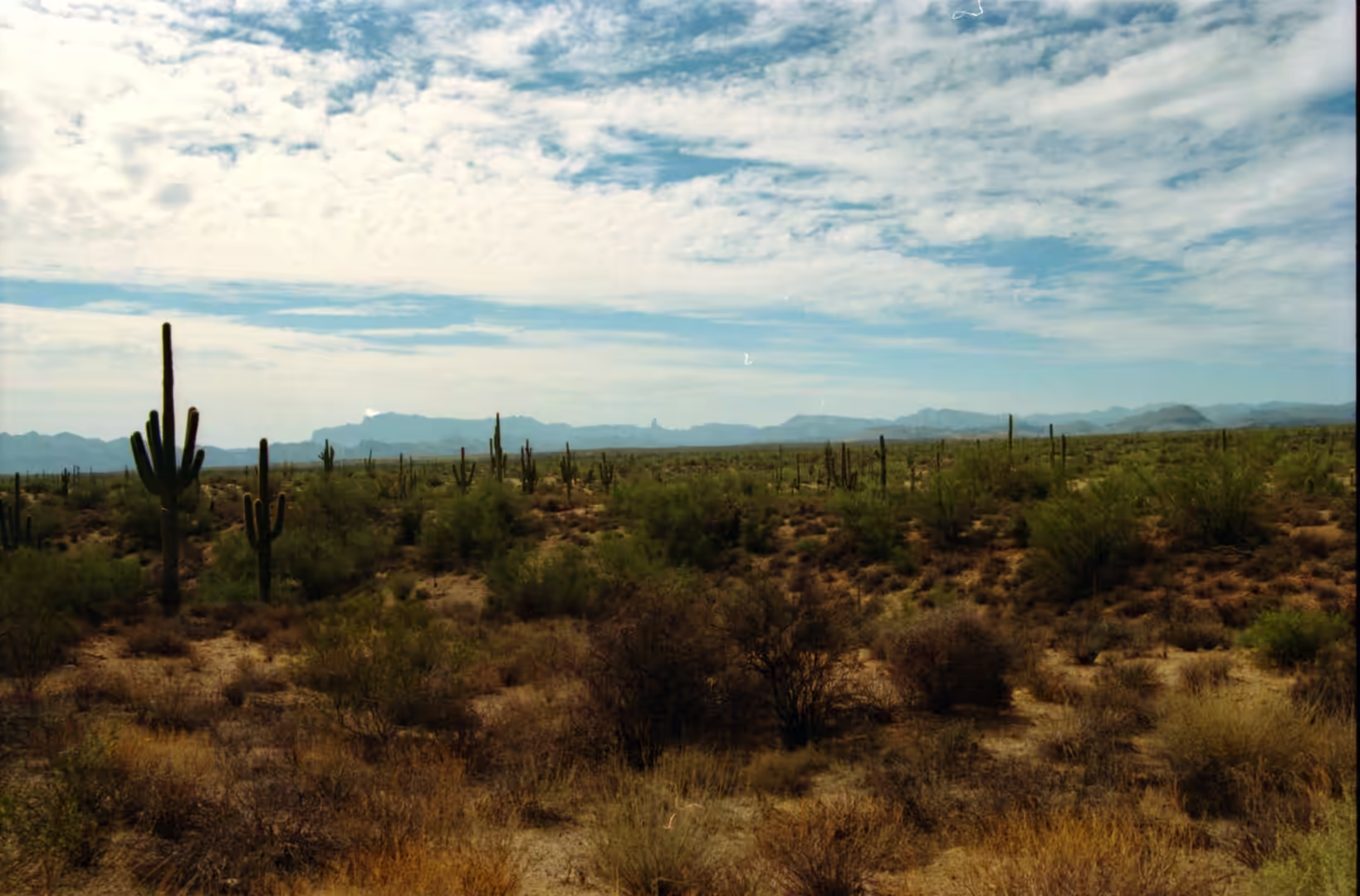
The saguaro itself is the emblem of the whole region. Carnegiea gigantea grows to more than twelve metres, lives for well over 150 years and grows its first side arm only at the age of 75 to 100, which means that the large plants in any stand are older than most of the settlements around them. It grows from sea level to about 1,200 metres, is native to Arizona, Sonora and the Whipple Mountains in California, and its blossom is the state wildflower of Arizona. Saguaro National Park, near Tucson, was designated in 1933 to protect the species and its habitat.
Saguaros have been useful as well as decorative for thousands of years. The sweet red flesh of the fruit was turned into syrup by native peoples including the Tohono O’odham and the Pima, the wooden ribs of dead plants were used as building material in a desert with almost no timber, and the plant itself shelters a community of birds and insects: house sparrows nest in holes in the stems, and the cactus flowers feed insects and bats. A fully hydrated saguaro can weigh between 1,450 and 2,180 kilograms, held in a pleated stem that expands and contracts with the water inside it.
Individual plants reach a size that makes them landmarks. The largest known living saguaro in the United States, listed by the National Register of Champion Trees in Maricopa County, is 13.8 metres high with a girth of 3.1 metres, has an estimated age of 200 years and survived damage in the 2005 Cave Creek Complex fire. The tallest ever measured was an armless specimen 23.8 metres high, which was toppled by a windstorm in 1986. Some plants are cristate, or crested, because of a developmental condition called fasciation, in which the growing point spreads into a fan.
History
The human history of this ground runs from the desert to the pueblos. Tucson was founded as a Spanish military settlement when the Presidio San Agustín del Tucsón was authorised in 1775, and after Mexico gained independence from Spain in 1821 the town belonged to the state of Sonora; it passed to the United States in the middle of the nineteenth century. Further east, the Ancestral Puebloans, also called the Basketmaker Pueblo culture, occupied the Four Corners region of Utah, Arizona, New Mexico and Colorado, and they are the people who built the pueblos and the cliff dwellings that give this part of the country its archaeological depth.
Farming in this dry country was a matter of terraces and water. The Puebloan communities grew crops on level platforms cut into slopes and on the flat tops of mesas, held the soil with low walls and channelled runoff from the summer storms, and lived in settlements that grew denser as the climate became less reliable. Their buildings were made with stone, with windows facing south for warmth, arranged in U, E and L shapes around open spaces, with towers built near the kivas for reasons that are still discussed. Ancestral Puebloan farming in the wider region peaked between 500 and 1300 AD, and the terraces and field systems visible today are the remains of that system.
Later centuries layered other peoples on top of the same ground. Spanish and Mexican settlers brought sheep, cattle and adobe building, and the small settlements of the south west preserve that period in their church architecture, their irrigation ditches and their flat roofed houses. The Apache and other groups held the mountains and the desert margins, and the arrival of the railroads and then the highways brought the towns that now stand along the interstate. Many of the older houses in the album, with their timber roofs and stone steps, belong to that transitional period between the ranching economy and the modern one.
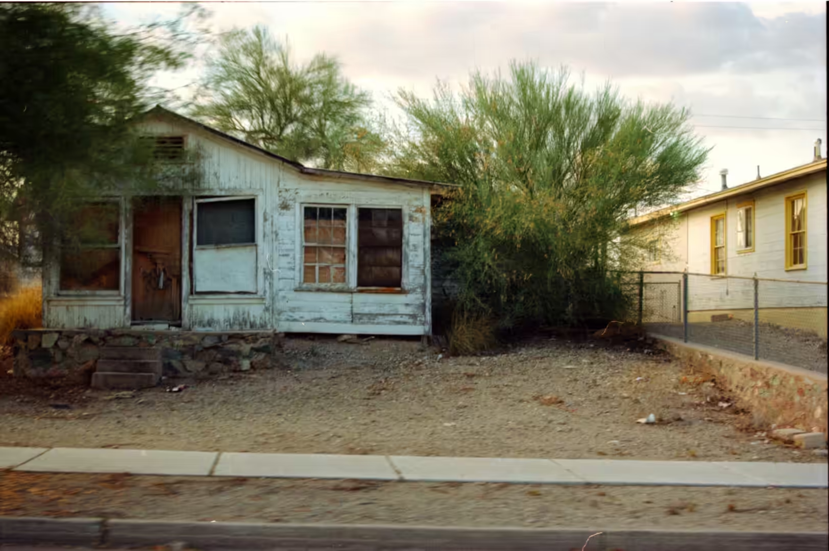
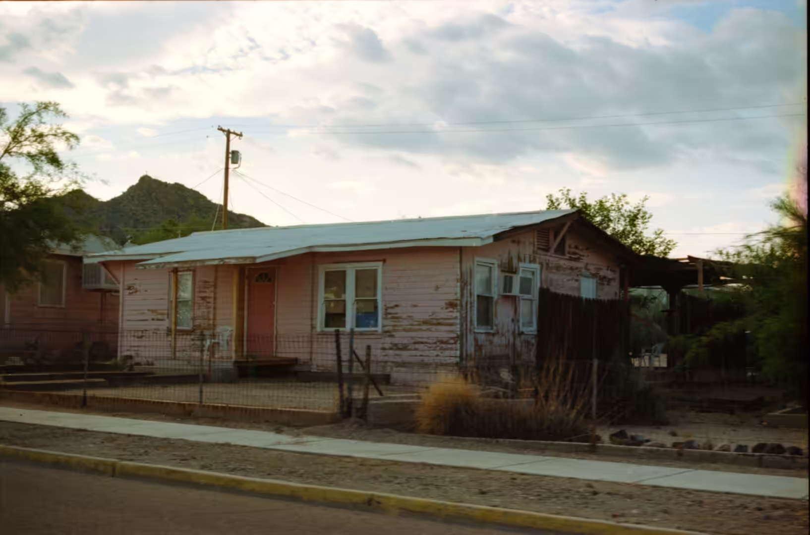
The result today is a landscape of small places rather than big ones. Except for Tucson and Phoenix, the settlements here are modest: a main street, a school, a store, a scatter of houses with yards of gravel and cactus. The houses in this part of the journey are of that kind, wooden and painted, standing behind chain link fences with fields beyond, and their interest is that they are ordinary buildings in an extraordinary setting, which is the same quality the desert itself has when seen away from the viewpoints.
Geology
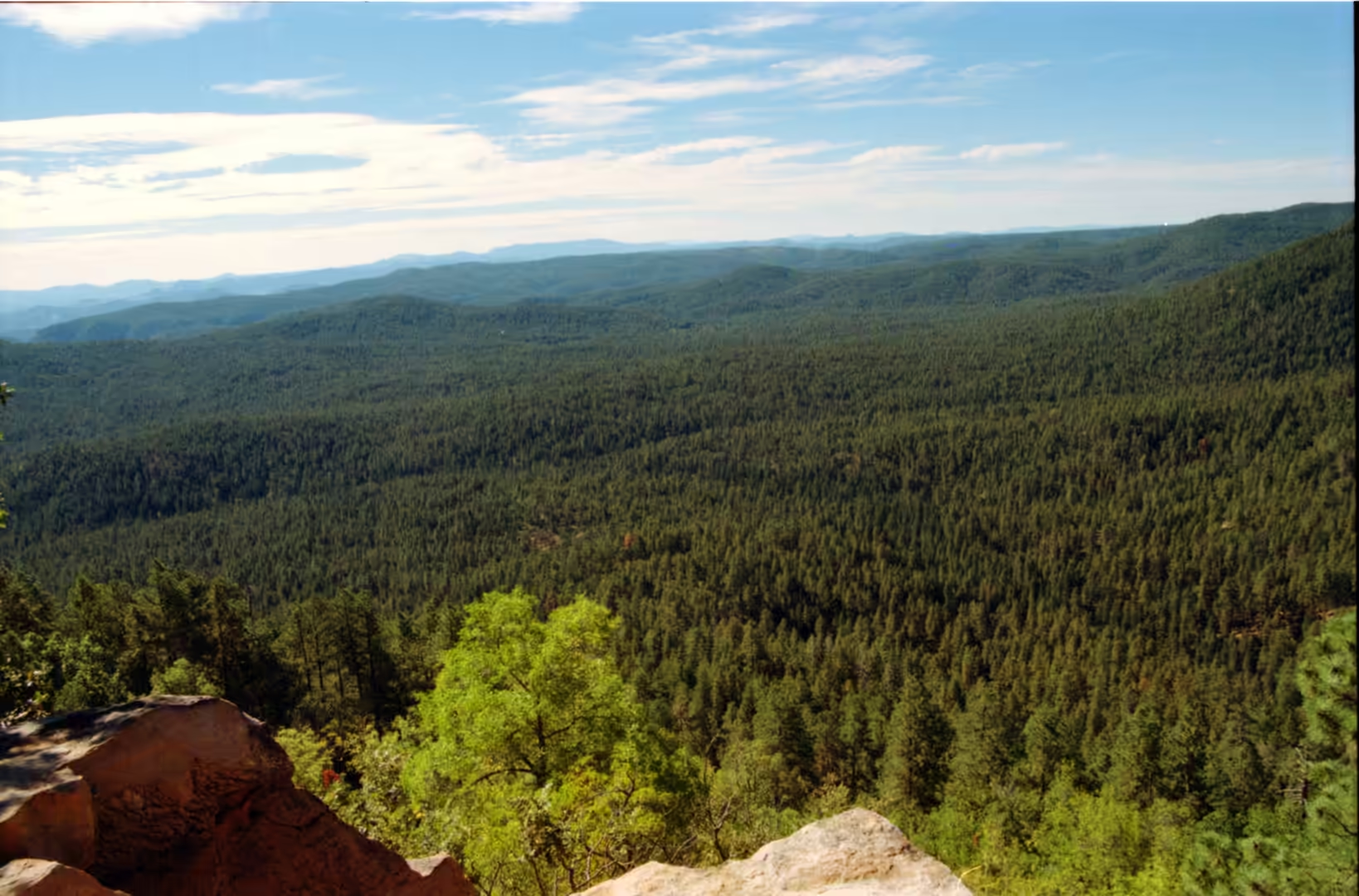
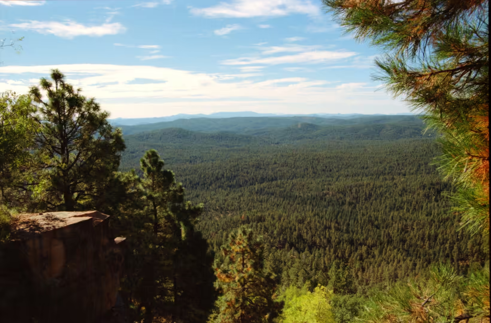
The mountains of southern Arizona are fault block ranges, and they are wet enough to carry forests. The crust here has been stretched and broken, so ranges have risen along faults while the ground between them has dropped into basins, and the pattern repeats from the border northwards. Because the ranges are higher they are cooler and catch more rain, and the vegetation on them changes with elevation: cactus and creosote on the floor, oak and juniper on the lower slopes, pine on the summit ridges, and snow in winter on the highest ground. A range of this kind is sometimes called a sky island, because the habitats on it are separated from the next range by a sea of desert.
Water in the desert is a moving thing. The two rainy seasons, one in winter and one in high summer, deliver most of the annual moisture in a few events, and because the ground is hard the water runs off quickly, filling the dry washes and carrying sand and gravel down to the basins. The rocky creeks of the higher country flow for most of the year, where the shade and the snowmelt keep them going, and dry up entirely lower down. That contrast, water in the mountains and dust in the basins, is the reason the desert is greener along the edges of the ranges.
The rocks themselves are a mixture of everything the region has been through. There are limestones and sandstones laid down in shallow seas, volcanic rocks from eruptions that covered parts of the basins, granite and metamorphic rock in the core of the ranges, and deep gravels and clays in the low ground where the debris has collected. The valley floors carry alluvium, a mixture of clay, silt, sand and gravel, which is the material that makes farming possible where water can be brought to it, and the same material is what the older buildings in the settlements were made from.
Weathering in this climate is slow on rock and fast on paint. The dry air preserves timber and stone for a long time, which is why abandoned buildings last for decades, and it also limits vegetation, so the ground between plants is bare. Erosion happens in floods rather than gradually, cutting vertical banks in the washes and moving boulders in a single storm. For a traveller, the practical result is that the landscape looks stable and is not: the creek beds are dry because they are waiting, and the road that crosses one is built to be washed out occasionally.
The higher ground of the ranges holds habitats that the desert floor does not share. Because the summits are cooler and wetter, they carry woodland and forest, and because the basins between the ranges are dry, each range is separated from the next by country that most plants and animals cannot cross. The result is a series of isolated communities on the high ground, with species that occur on one range and not on the one beside it, and the same principle explains why the mountain forests of the south west are of interest to biologists: they are islands in the strict sense, surrounded by a hostile sea of heat and drought rather than by water.
Things to See
The first thing to look at is the transition from desert to forest, which is best seen by climbing one of the ranges above Tucson. The road up from the desert floor passes through the whole sequence in an hour: saguaro and prickly pear at the bottom, then oak and juniper, then pinyon and finally pine on the ridge, with a view back over the basin. The temperature falls several degrees on the way, and the smell changes completely. Where a stream crosses the road in the higher country there is a creek with palm trees and cacti standing together in the same view, which is one of the oddities of the south western mountains.
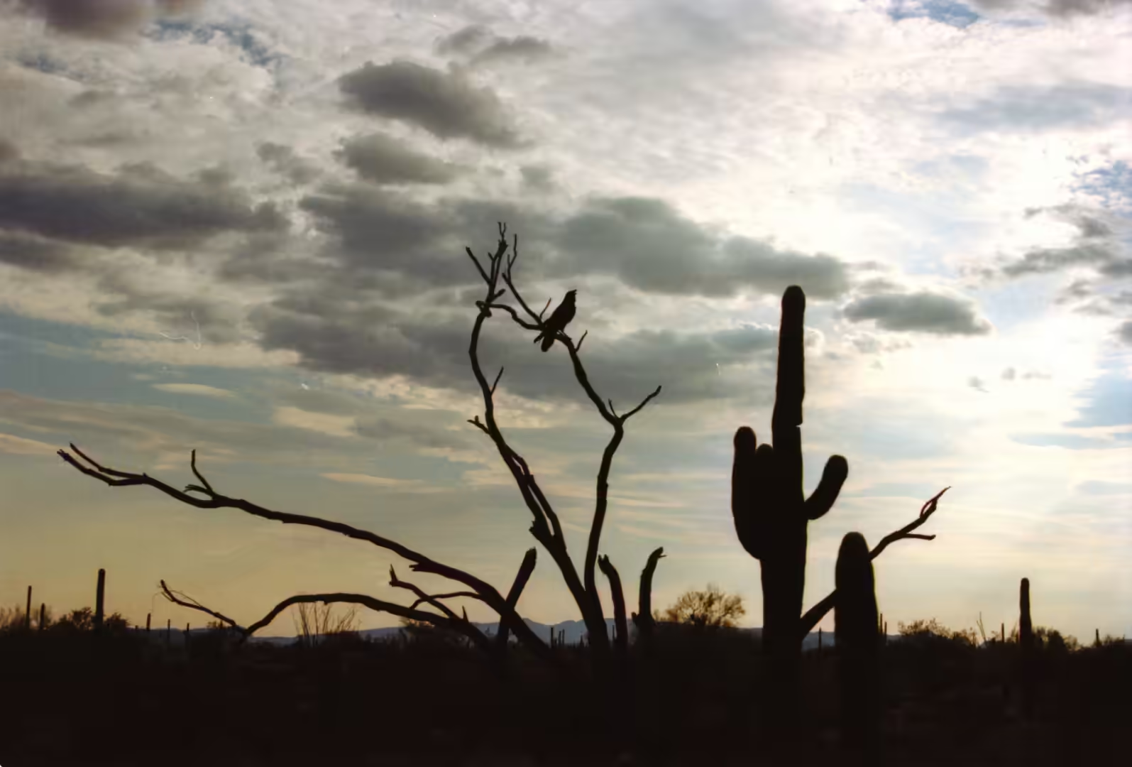
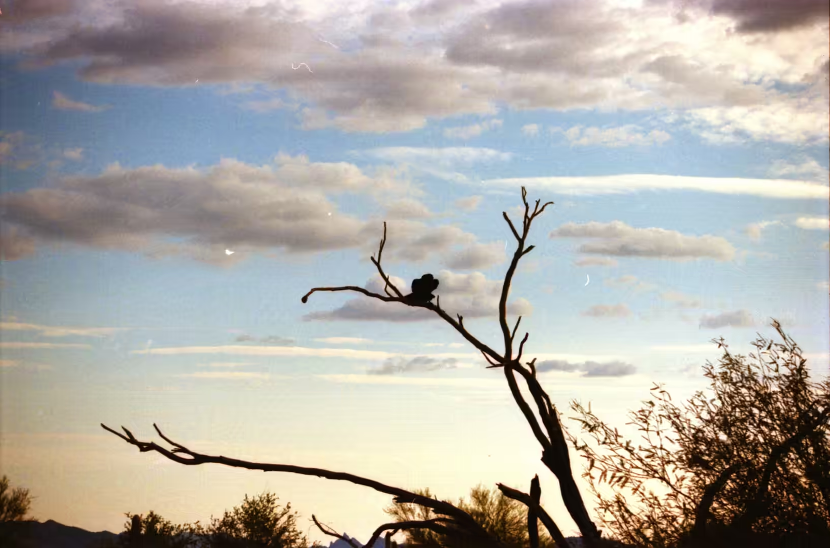
The desert floor itself deserves a slower day. Saguaros stand on the rocky slopes in loose stands with prickly pear and shrubs between them, and the light on the spines is the best reason to be out early. Birds are everywhere in the desert in spring and early summer, and a bird seen against a saguaro or perched on a bare branch is one of the standard subjects of the region. The vegetation is fragile and the ground is easy to damage, so the trails and the pull offs are the places to walk and stop.
The villages and their fields are the second subject. Terraced fields in a valley among brown hills, irrigation ditches along the road, old wooden houses with stone steps and yards, and a pink house with a metal roof behind a chain link fence all belong to the working landscape of the small towns. Where the older Puebloan terraces survive, the contrast between the two systems, one hand built with stone and one cut into the slope with a plough, is a useful reminder of how long people have been solving the same problem in this country.
The ruins are the last and quietest part of the album. Stone masonry walls of ancient buildings, circular ceremonial rooms built of layered stone, crumbling walls with rectangular window openings and tall rooms with the original timber roof beams still in place are the vocabulary of Puebloan architecture, and they are usually seen in alcoves or on the tops of mesas where the stone was close at hand. Visiting them means walking a short way from a car park and then standing in a small stone room that has been empty for seven hundred years, with the desert below and nothing to hear but the wind.
References
- Averill-Murray, R. C. (ed.) (2019). Population Ecology of the Sonoran Desert Tortoise in Arizona. The Sonoran Desert Tortoise. doi.org/10.2307/j.ctvfjcx1x.9
- Lowe, C. H. (1967). Supercooling of the Saguaro Species Drosophila nigrospiracula in the Sonoran Desert. Ecology 48, 989-992. doi.org/10.2307/1934547
- Rodriguez-Buritica, H. & Ezcurra, E. (2013). Population dynamics of Sonoran Desert saguaro cactus (Carnegiea gigantea) at the Desert Laboratory, Tucson, Arizona. Ecology 94, 2503-2511. doi.org/10.1890/13-0182.1
- Wikipedia contributors (2026). Basin and Range Province. en.wikipedia.org/wiki/Basin_and_Range_Province
- Wikipedia contributors (2026). Chihuahuan Desert. en.wikipedia.org/wiki/Chihuahuan_Desert
- Wikipedia contributors (2026). Colorado Plateau. en.wikipedia.org/wiki/Colorado_Plateau
- Wikipedia contributors (2026). Mojave Desert. en.wikipedia.org/wiki/Mojave_Desert
- Wikipedia contributors (2026). Pinus ponderosa. en.wikipedia.org/wiki/Pinus_ponderosa
- Wikipedia contributors (2026). Saguaro. en.wikipedia.org/wiki/Saguaro
- Wikipedia contributors (2026). Sonoran Desert. en.wikipedia.org/wiki/Sonoran_Desert
- Wikipedia contributors (2026). Tucson, Arizona. en.wikipedia.org/wiki/Tucson,_Arizona