Day 10 - Around Etna Vulcano

Journal Notes
General
The tenth day leaves the coast and follows the northern side of the volcano inland, into the valley of the Alcantara. The river rises on the south side of the Monti Nebrodi and empties into the Ionian Sea at Capo Schiso in Giardini Naxos, and on its way to the sea it passes north of Mount Etna through the municipalities of Randazzo, Mojo Alcantara, Francavilla di Sicilia, Motta Camastra, Castiglione di Sicilia, Graniti, Gaggi, Calatabiano and Taormina. Its name is of Arabic origin and refers to a bridge from Roman times found by the Arabs, a reminder of how many peoples have named the same water.
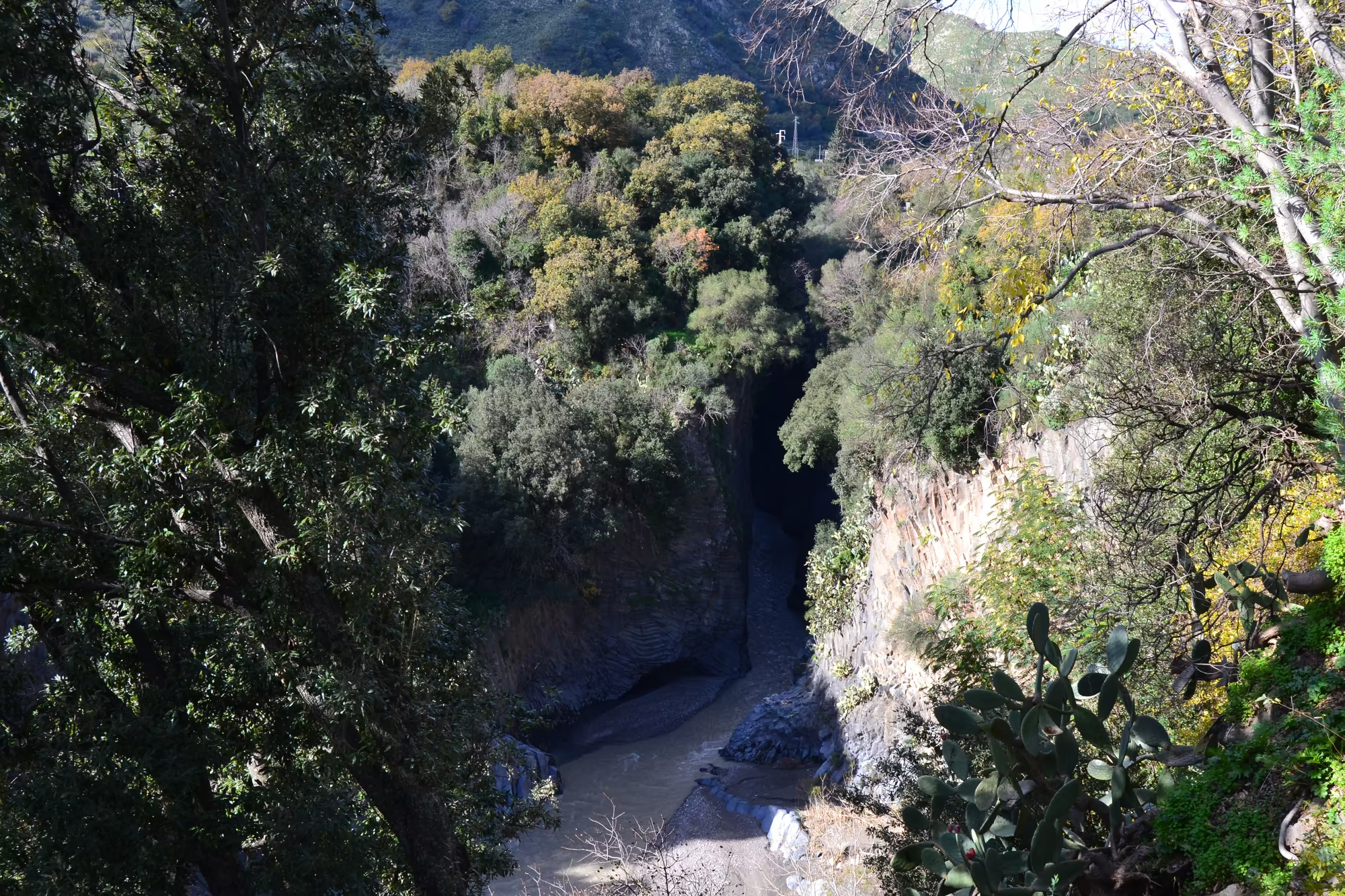
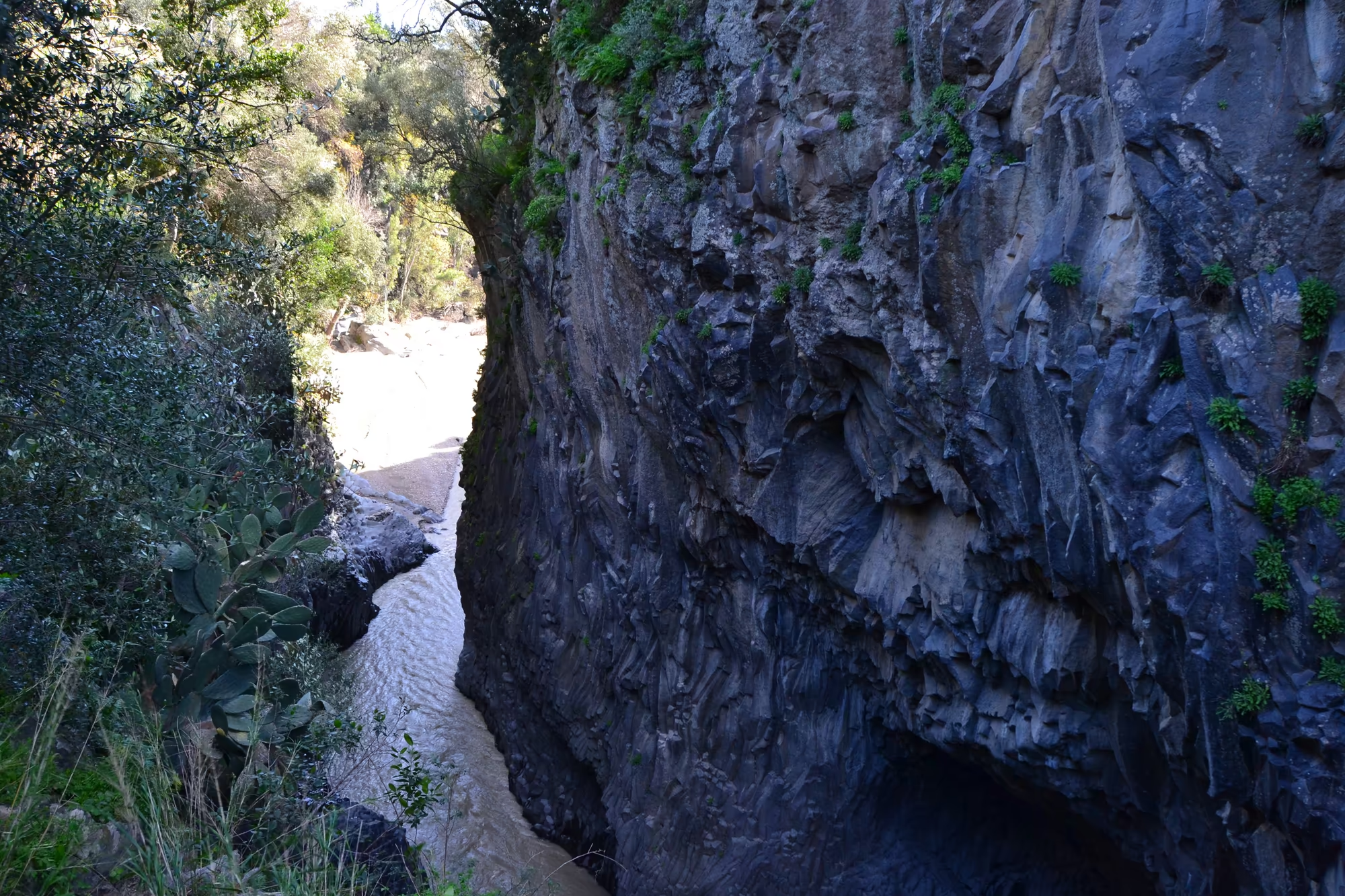
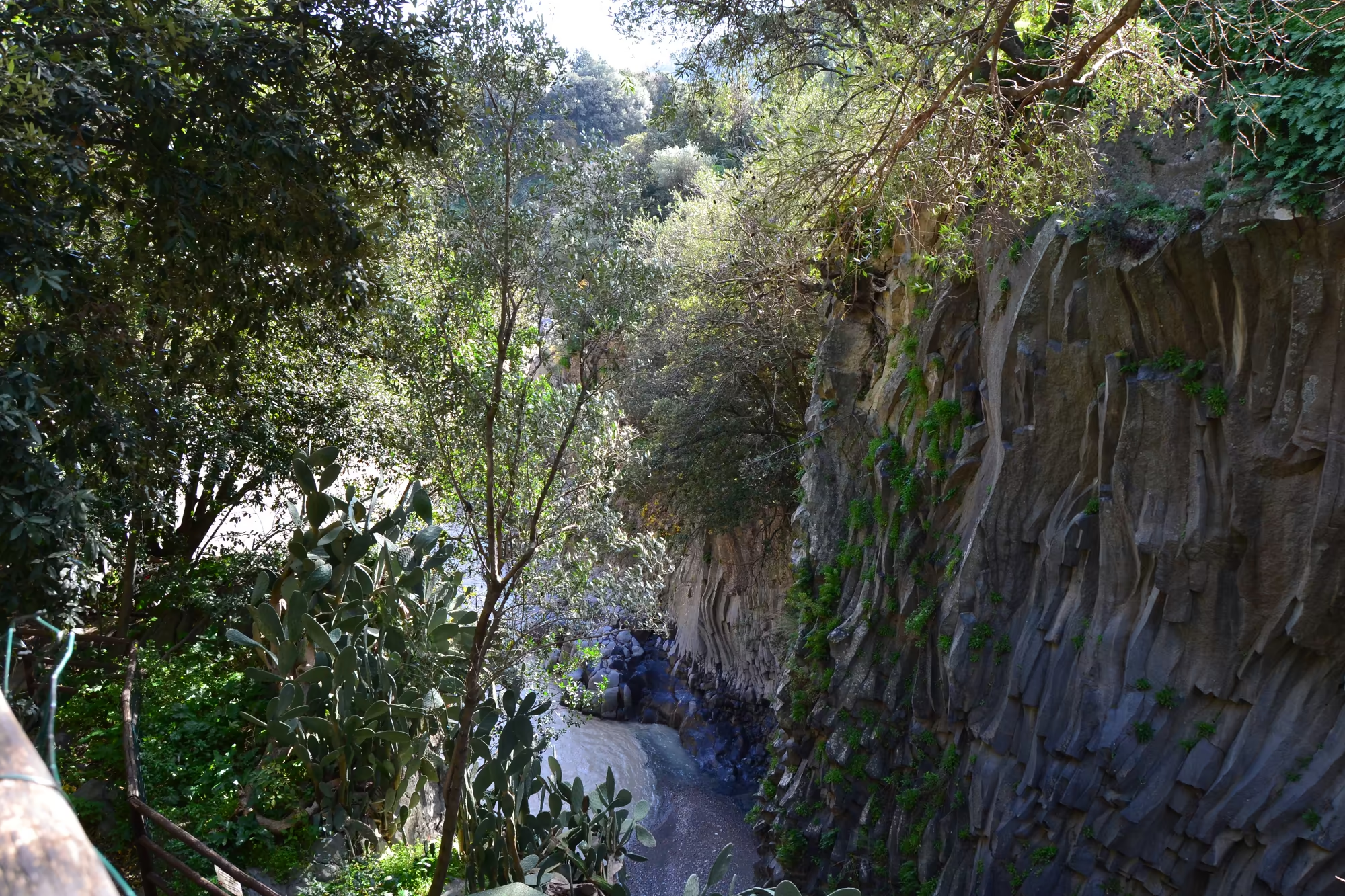
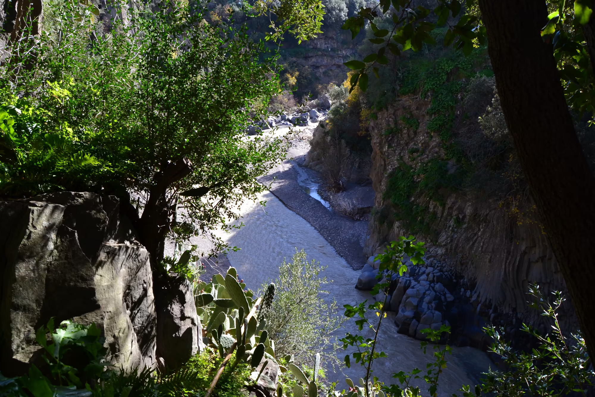
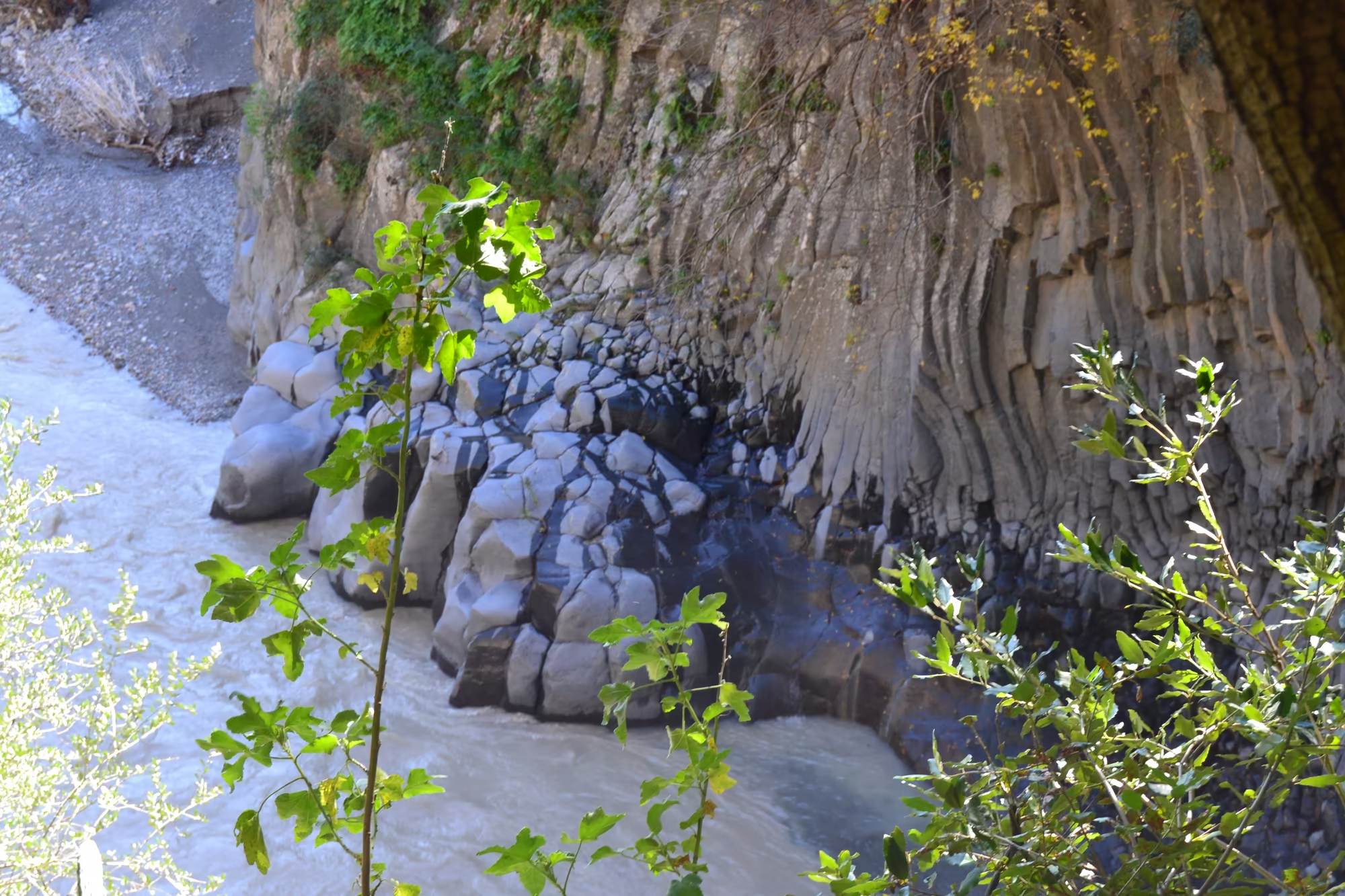
The river is known for its gorge. The Alcantara River Park, the Parco fluviale dell’Alcantara, was established in 2001 for the protection of the river, and within it the Gole dell’Alcantara cut through dark volcanic rock in a narrow channel of sheer walls and clear water. The rock here is basalt, formed when lava cooled slowly in thick masses and cracked into columns, and the columns stand in the walls of the gorge like a row of organ pipes; the site appears in the segment called The Enchanted Doe in the 2015 film Tale of Tales, which is a fair indication of how theatrical it looks.
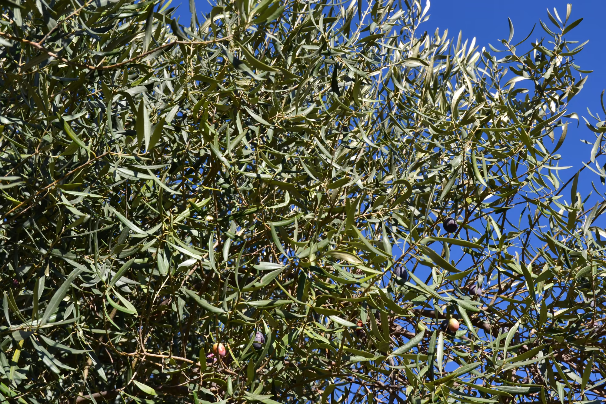
The surrounding country is the northern slope of Etna, which is agricultural rather than coastal. Vineyards, olive groves and fruit orchards cover the terraced hillsides between the villages, the highest of them planted on the slopes of the volcano itself, and the wine of this side of the mountain is made under the Etna designation. In February the vines are bare, the olives have been picked, the ground is wet, and the streams run full, which is why the pictures of this day are dominated by water and stone rather than by colour.
Getting there is part of the experience, because the northern slope is crossed by an unusual railway. The Ferrovia Circumetnea, roughly the round Etna railway, is a narrow gauge regional line constructed between 1895 and 1898, which follows a route that almost completely encircles the volcano: from its terminal at Catania the line starts westward and loops around Mount Etna in a clockwise direction, eventually reaching its other terminal at the seaside town of Riposto, about 28 kilometres north east of Catania. The railway and the river run through the same country, and a day here moves between them.
The valley is also wine country. The northern slope of Etna around Passopisciaro and the villages of Castiglione di Sicilia is planted with vines at altitude on volcanic soil, and the wine made there is sold under the designation of the mountain; the vineyards are worked in small plots between the older terraces of olives and fruit, and they occupy some of the highest agricultural ground in Sicily. The cellar doors along the road are a modern addition to an agricultural landscape that has been cultivated since the Greeks.
History
The valley of the Alcantara has been a route since antiquity. The river is mentioned by Thucydides on the occasion of the attack made on Naxos by the Messenians in 425 BCE, under the name Acesines, which was also its Latin name along with Assinus, Assinos, Asines, Asinius, Onobala and Onobalas; the Normans later used another name, Cantera. The Arabic name by which the river is now known, and the Roman bridge that gave rise to it, belong to the long period in which Sicily was governed from Palermo, Tunis and Cairo as much as from Rome.
The villages of the upper valley are medieval in origin and agricultural in character. Castiglione di Sicilia is a municipality of the Metropolitan City of Catania, listed among the most beautiful villages of Italy, and it borders a remarkable number of neighbours, among them Adrano, Belpasso, Biancavilla, Bronte, Calatabiano, Francavilla di Sicilia, Gaggi, Graniti, Linguaglossa, Maletto, Malvagna, Mojo Alcantara, Motta Camastra, Nicolosi, Piedimonte Etneo, Randazzo, Roccella Valdemone, Sant’Alfio, Taormina and Zafferana Etnea. Its position above the river made it a natural place of defence, which is what its castle and its name record.
The railway belongs to the nineteenth century, when the new Kingdom of Italy was connecting the island. The Ferrovia Circumetnea was built between 1895 and 1898 to serve the villages around the mountain and to carry their produce, wine and people; its original terminal was at Catania Porto, although Catania Central was the last stop for the trains, and its other end is at Riposto on the coast. In the 1990s the section from Catania Central to Catania Borgo was converted to standard gauge and moved underground for most of its length for use as the new metro of Catania, so the line as it exists today is a hybrid of a historic mountain railway and a modern urban one.
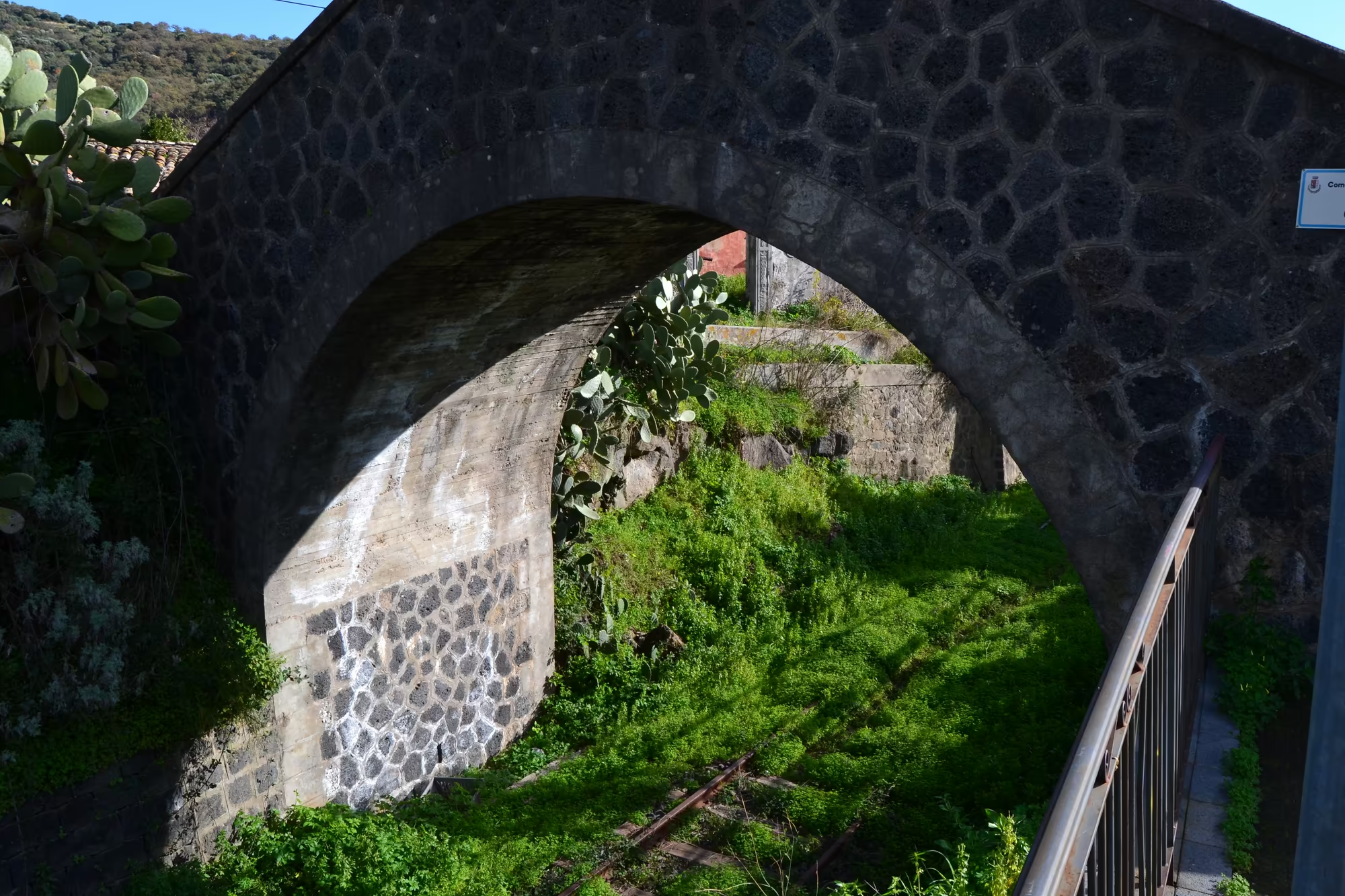
The line has had a difficult recent history, which is visible in the landscape. On 15 June 2024 the movement of trains on the Catania Borgo to Paternò route was suspended because of the upgrade works for the extension of the Catania metro, with an associated change of gauge, and as of 2026 trains run from Santa Maria di Licodia Sud to Randazzo while a bus service replaces the line from Nesima to Licodia. The abandoned bridges, cuttings and station buildings along the route, with their stone arches and empty platforms, are a characteristic sight of the northern slope, and one of the pictures of this day is a weathered stone arch spanning a railway cutting with prickly pear growing on the slopes above it.
The river has been a boundary as well as a route. Its valley separated the territories of different towns and lords, and the castles that stand on the ridges above it, Castiglione di Sicilia among them, were built to control the crossings; the villages along its course, Randazzo, Mojo Alcantara, Francavilla di Sicilia, Motta Camastra, Graniti, Gaggi and Calatabiano, are all placed where a road or a bridge met the water. The river is still the line that separate municipalities follow.
Geology
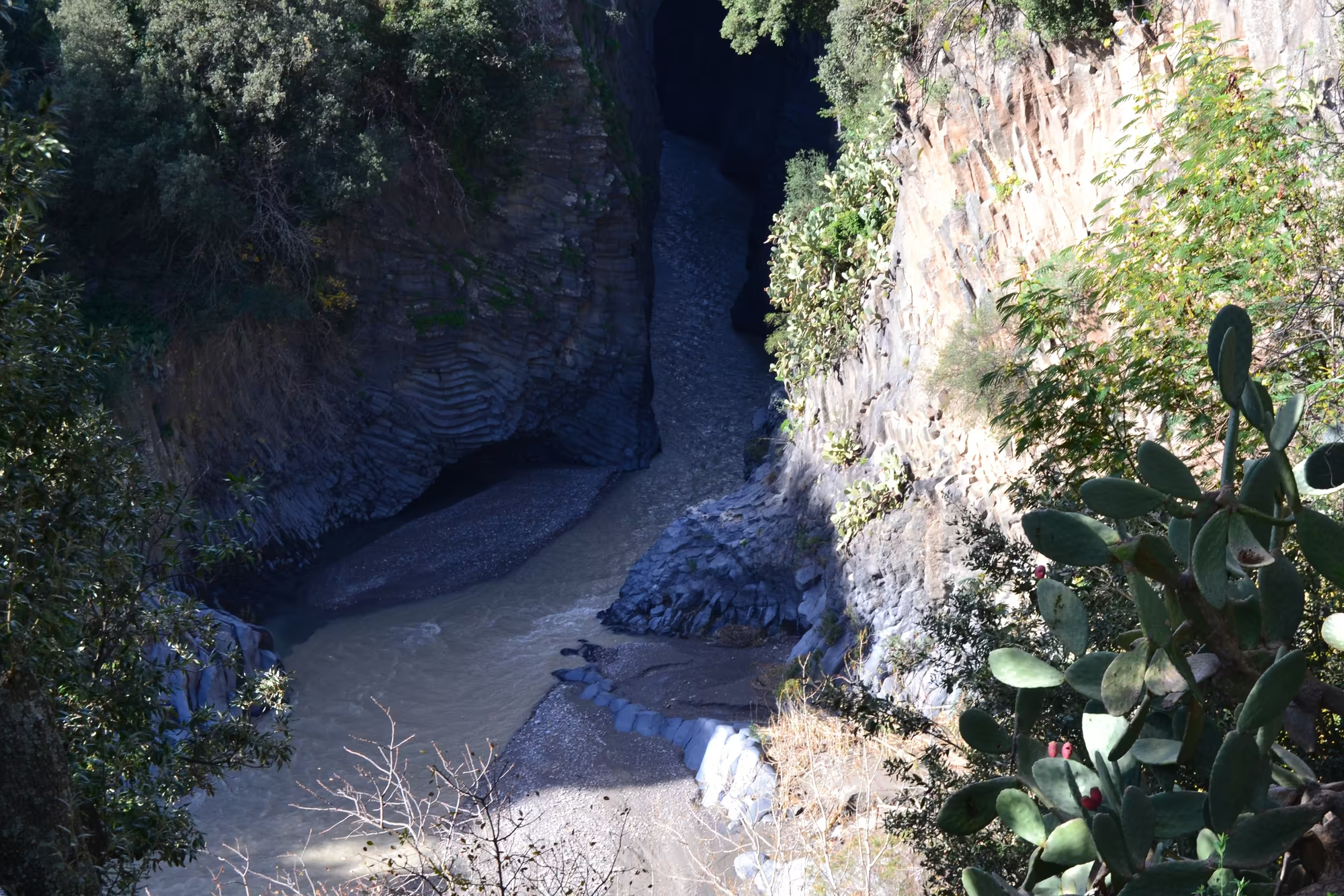
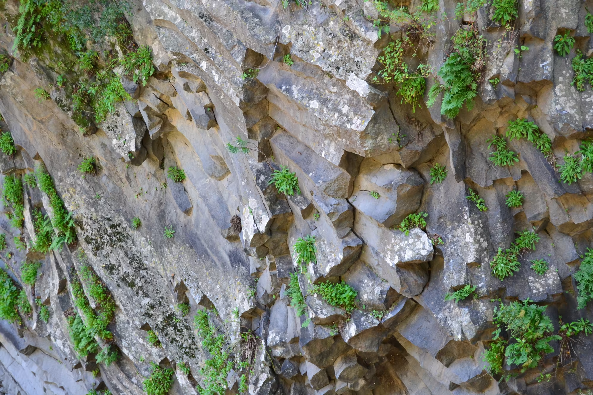
The gorge of the Alcantara is a lesson in how lava cools. When a thick flow of lava is trapped in a valley or cools slowly beneath the surface, it contracts as it solidifies and cracks into long polygonal columns, usually with five or six sides, standing perpendicular to the cooling surface; the result is the columnar basalt that gives the Gole dell’Alcantara its appearance. The river has since cut down along the columns, exposing them in the walls of a narrow channel, and the water flows over the polished tops of the same columns in the bed.
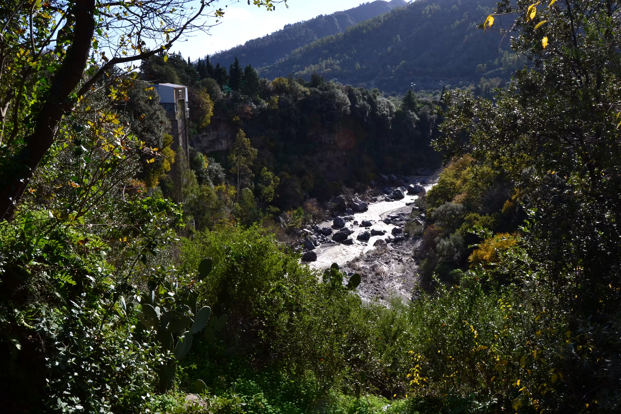
The rock of the walls also records its own history. There are layers upon layers of volcanic material, some of it lava and some of it the loose products of explosions, with the softer beds eroded into ledges and the harder ones projecting as shelves; ferns and wild plants grow out of the joints, and the base of the gorge is filled with boulders and rounded stones brought down by floods. In winter the stream is white and fast over the boulders, and the water carries mud when the ground above is wet, which is why the river in the pictures is brown rather than clear.
Above the gorge the country is built of the same material in other forms. There are olive terraces on the gentle slopes, vineyards on the volcanic soils around Passopisciaro and the villages of the north flank, and ridges of older, harder rock where the mountain meets the Nebrodi; Mount Etna itself is an active stratovolcano on the east coast of Sicily in the Metropolitan City of Catania, between Messina and Catania, standing above the convergent margin between the African and Eurasian plates, and it is the highest ground in Italy south of the Alps at around 3,403 metres, a figure that changes with eruptions.
That activity is the reason the northern slope looks as it does. Since the year 1600 there have been at least 60 flank eruptions and countless summit eruptions, nearly half of the flank eruptions since the start of the twentieth century, with flank activity in 2001, 2002 to 2003, 2004 to 2005 and 2008 to 2009 and summit eruptions in 2006, 2007 to 2008, twice in 2012, in December 2018 and in February 2021. The lavas and ashes of those events have built the terraced, fertile, and repeatedly disrupted ground on which the vineyards and the villages of this valley stand.
The river has cut through several different materials on its way to the sea. Above the gorge it runs over older sedimentary and metamorphic rock from the Nebrodi, in the middle it crosses the lavas of Etna, and at the coast it has built a small delta at Capo Schiso in Giardini Naxos; the combination is why the gorge is narrow and stepped rather than uniform. The hardest bands stand out as ledges in the walls, and the water has exploited them, cutting down where the rock was weakest.
Things to See
The gorge is the destination. The river runs at the bottom of a narrow channel between steep walls, one side of which is a dark, layered rock face with ferns and wild plants growing out of its cracks, and the water in the bed is studded with rounded boulders and the tops of columns; in one place a stream emerges from a cave-like opening between high walls, and in another rounded columnar pillars stand directly in the flow beside a tall cliff. The path along the edge and the steps down to the water are the standard route, and the sound of the river in the gorge is the loudest thing on the whole day.
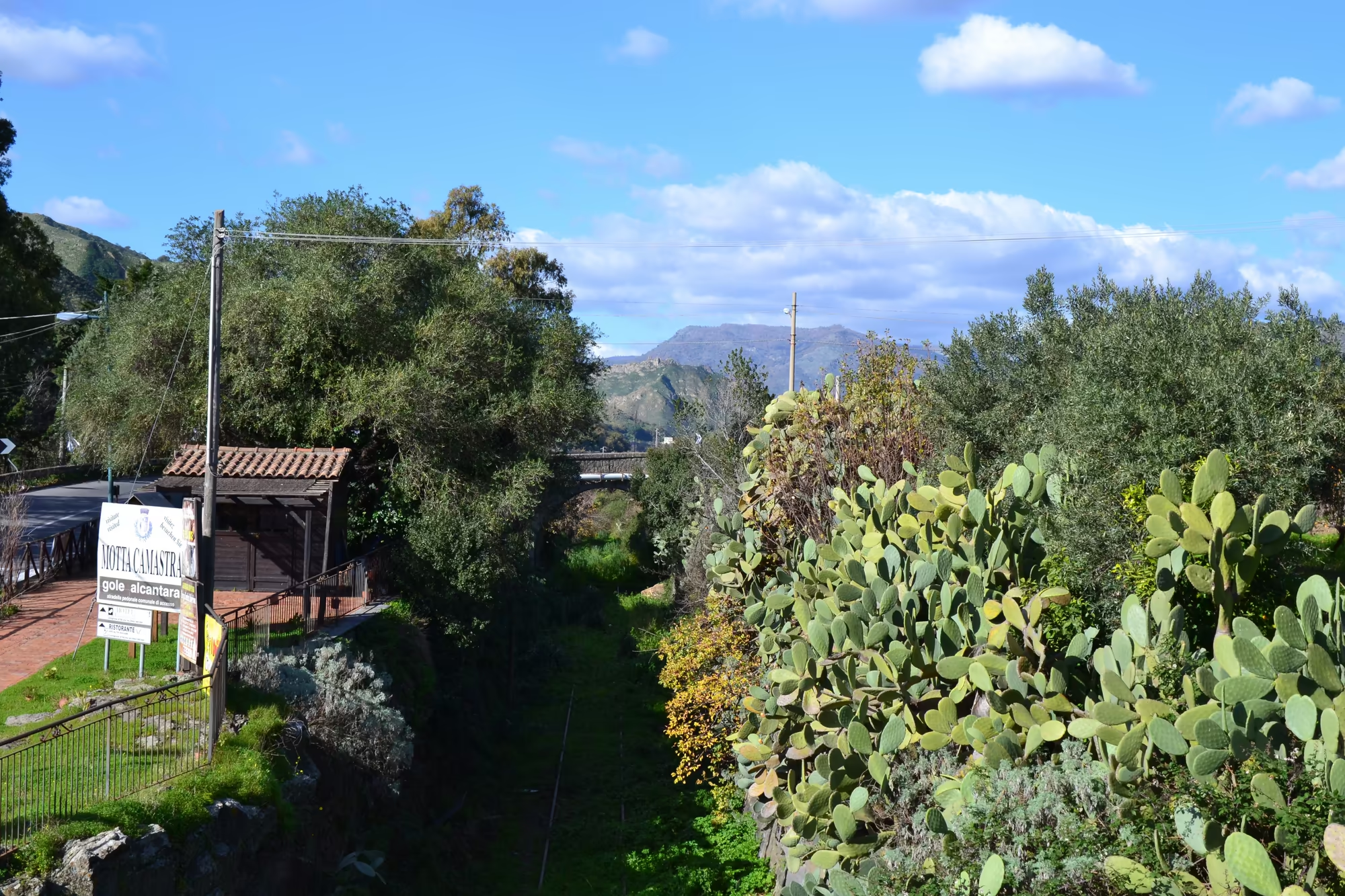
The railway provides the second set of subjects. A weathered stone arch spans a lush, overgrown railway cutting with prickly pear on the slopes above, a small station shelter stands in a green valley with the arch bridge beside it, and an old faded red single storey house with a tiled roof stands among wild vegetation near the line. Walking along a disused section of the Circumetnea is easy and legal in most places, and the structures of the line, bridges, culverts, platforms and walls, are the clearest record of the engineering that connected these villages.
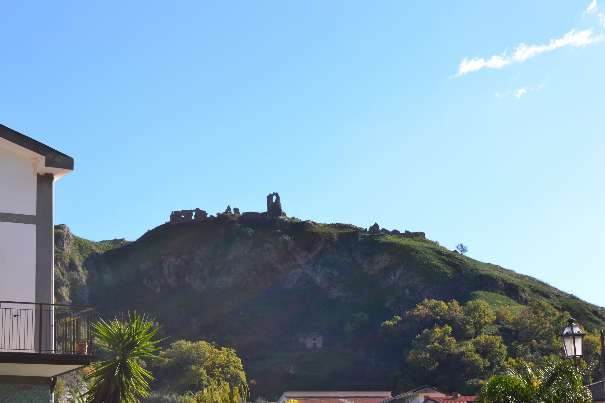
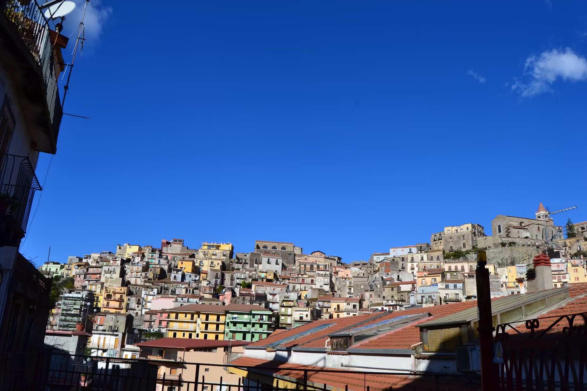
The villages and the farmland fill the rest of the day. A dense hillside village of closely packed houses in warm colours rises on a slope below the mountain, a compact town sits on a ridge with the snow covered summit visible above it, and stone castle ruins stand on the ridge of a green hill seen from a town with a palm tree. Between the settlements the ground is terraced, planted with olives, vines and fruit, and the vineyards of the north flank are the ones that produce the wine of the Etna designation, which grows here at altitude on volcanic soil.
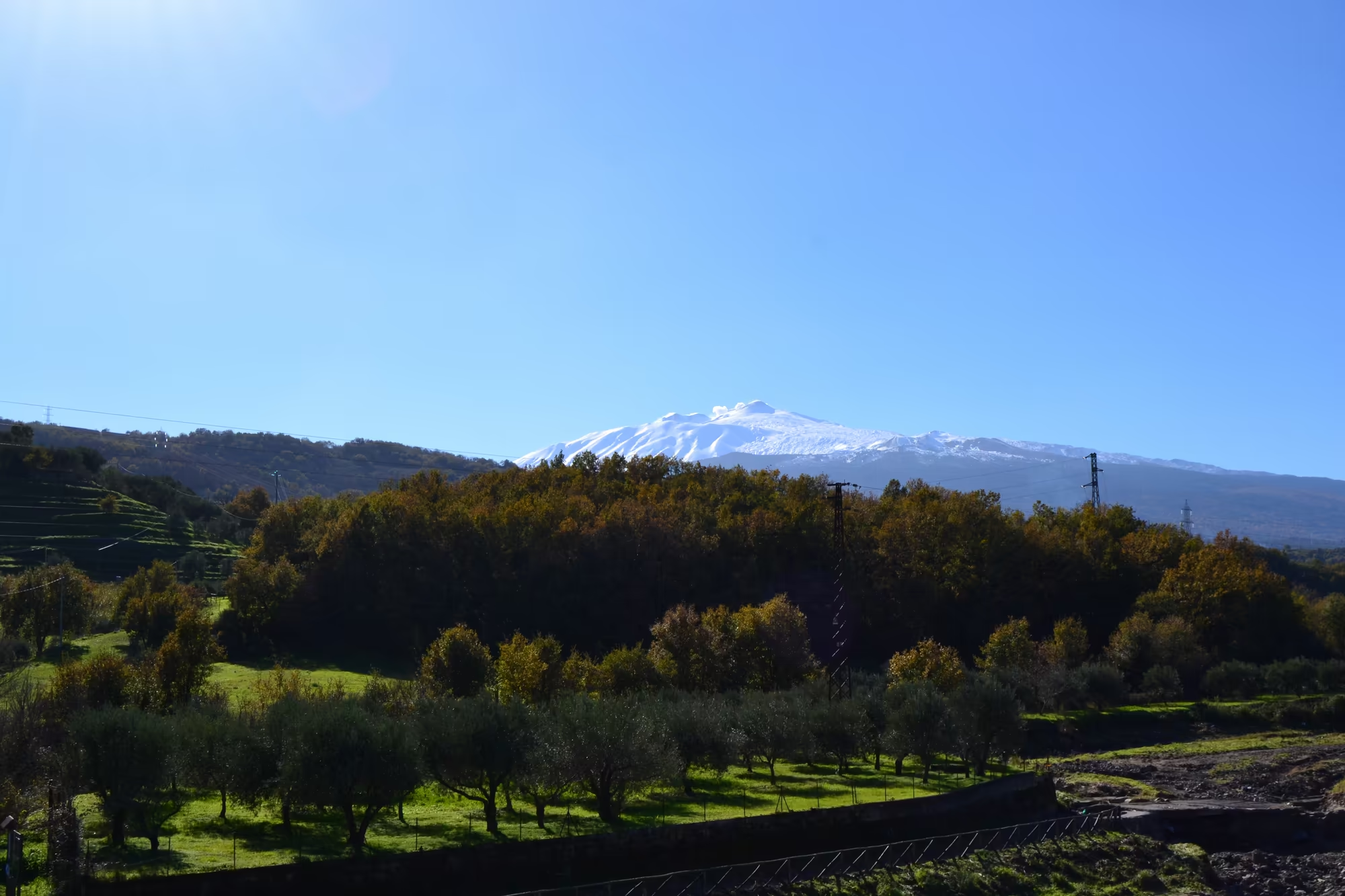
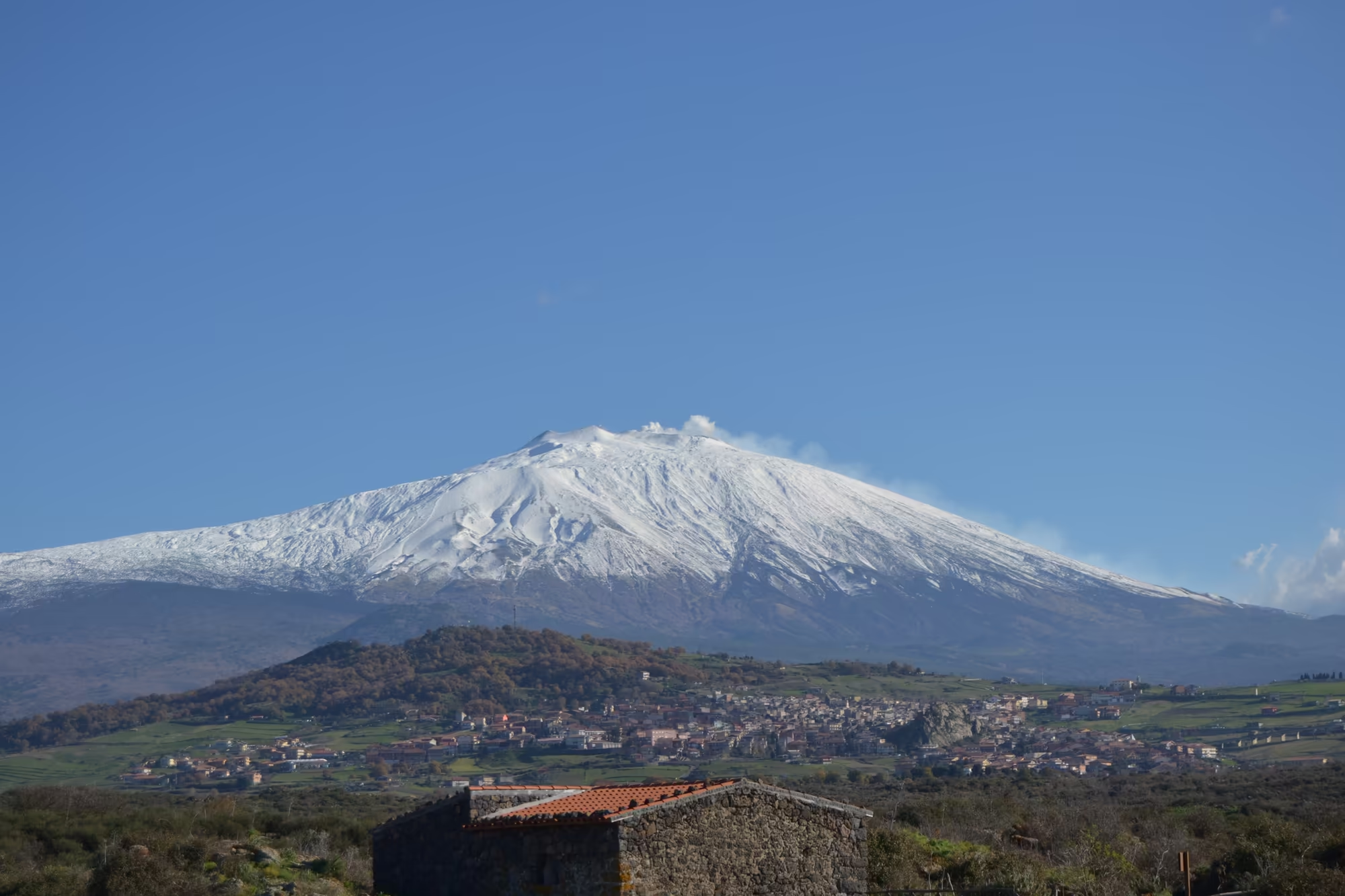
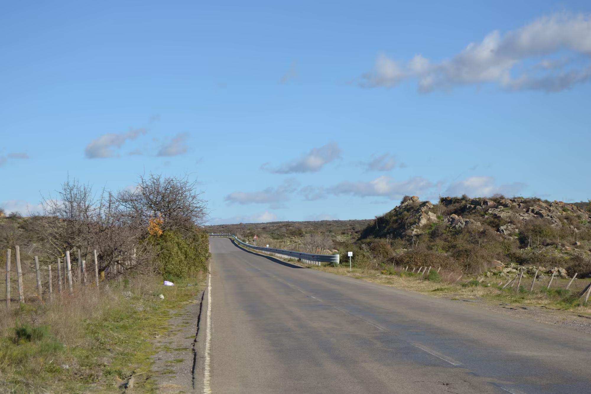
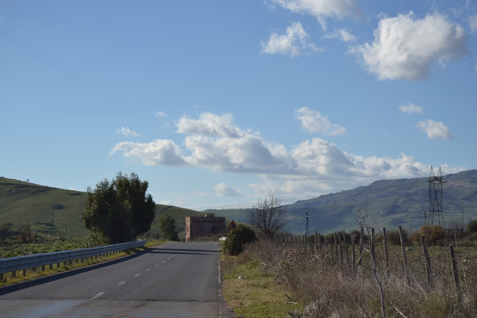
The last part of the album is the mountain road. Snow capped Mount Etna rises on the horizon above green hillside fields and trees, an empty straight asphalt road curves through dry scrubland beside a wire fence, and a country road with a metal guardrail leads towards a small stone building. In February the light is low, the olives are silver, the vines are bare and the volcano is white; driving these roads, with the river somewhere below and the railway beside them, is the best way to see how the northern slope is put together, a strip of fertile ground between the sea and the snow.
The village of Castiglione di Sicilia is worth the detour on its own. It is a municipality of the Metropolitan City of Catania listed among the most beautiful villages of Italy, and it borders an unusual number of neighbours, from Randazzo and Linguaglossa to Taormina and Zafferana Etnea; its streets are steep, its castle stands above them, and the country around it is a patchwork of terraces, vines and stone. From its upper streets the gorge and the snow of the volcano can be seen at the same time.
References
- Wikipedia contributors (2026). Alcantara (river). en.wikipedia.org/wiki/Alcantara_(river)
- Wikipedia contributors (2026). Basalt. en.wikipedia.org/wiki/Basalt
- Wikipedia contributors (2026). Castiglione di Sicilia. en.wikipedia.org/wiki/Castiglione_di_Sicilia
- Wikipedia contributors (2026). Columnar jointing. en.wikipedia.org/wiki/Columnar_jointing
- Wikipedia contributors (2026). Etna DOC. en.wikipedia.org/wiki/Etna_DOC
- Wikipedia contributors (2026). Ferrovia Circumetnea. en.wikipedia.org/wiki/Ferrovia_Circumetnea
- Wikipedia contributors (2026). Monti Nebrodi. en.wikipedia.org/wiki/Monti_Nebrodi
- Wikipedia contributors (2026). Mount Etna. en.wikipedia.org/wiki/Mount_Etna
- Wikipedia contributors (2026). Passopisciaro. en.wikipedia.org/wiki/Passopisciaro
- Wikipedia contributors (2026). Randazzo. en.wikipedia.org/wiki/Randazzo
- Wikipedia contributors (2026). Sicily. en.wikipedia.org/wiki/Sicily