Day 9 - Giarre
Journal Notes
General
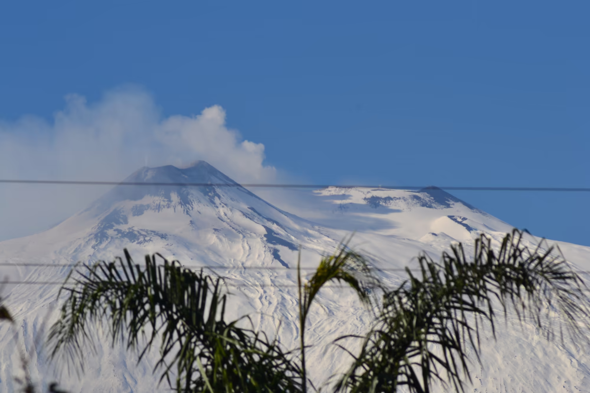
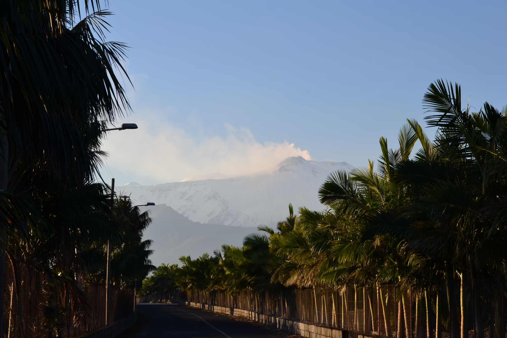
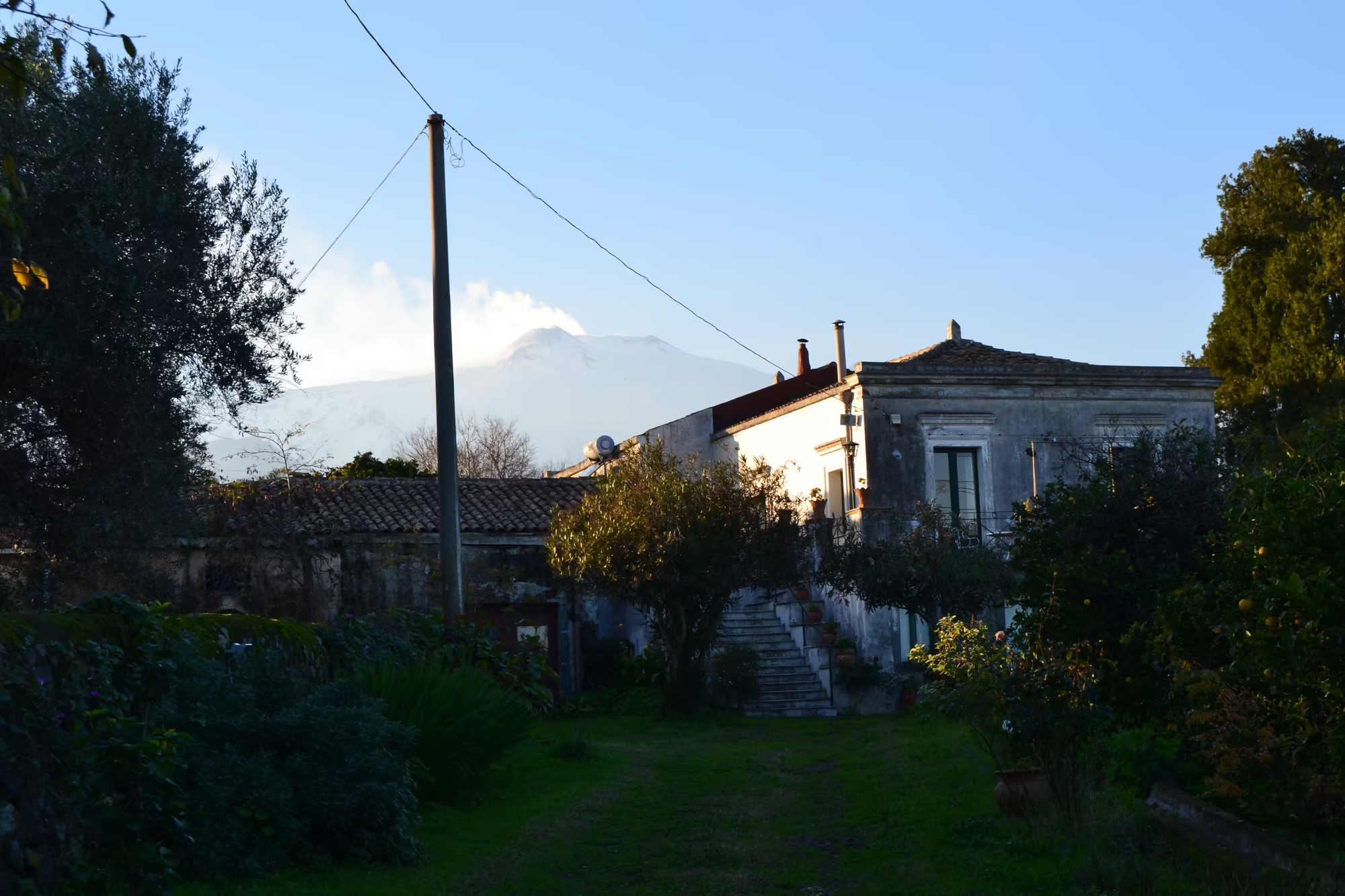
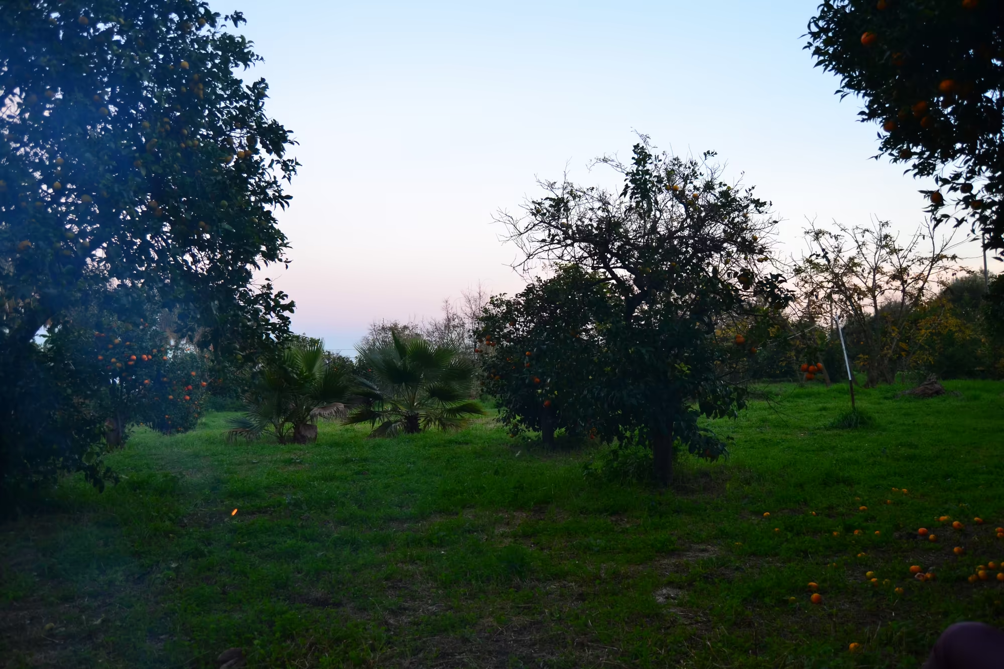
This is a day of looking at the mountain from below. The snow covered twin peaks of Mount Etna rise above the coast with a plume of smoke and gas drifting from the summit, and the same mass is visible at the end of an avenue of tall palms, above the roof of a stone courtyard, and behind the orange trees of a farm at dusk. From the streets of Giarre the volcano is not a destination but a neighbour: it occupies one end of almost every view, and the light on it changes through the day.
The setting is the eastern flank of the mountain in the Metropolitan City of Catania, between Catania and Messina, where the built up area of Giarre and Riposto sits on the lower slopes with the Ionian Sea in front of it. Etna is an active stratovolcano and the highest ground in Italy south of the Alps, currently around 3,403 metres although the height changes with eruptions, and its summit lies only a few kilometres from towns and orchards. The summit eruptions are spectacular but rarely dangerous; the flank eruptions are the ones that have historically buried roads and fields, sometimes only a few hundred metres above sea level.
The agricultural belt between the town and the mountain is what the day is really about. Because the volcanic soil is fertile and the sea keeps the winters mild, the slopes carry vineyards and orchards, and the plain of Catania below carries more of the same; orange and lemon trees grow beside palms and olives, and the fruit is picked in the winter months while the mountain above is under snow. The combination of a working harvest and a snow capped volcano in the same view is the characteristic image of this coast in February.
The town provides the frame for all of it. Giarre is bounded by Acireale, Mascali, Milo, Riposto, Sant’Alfio, Santa Venerina and Zafferana Etnea, and it forms a single settlement with Riposto on the coast; the streets of the older quarters climb the slope, and the upper streets look straight at the mountain. In the winter the town is quiet, the sea is rough and the bars and shops are busy with local life rather than visitors, which is when the place is easiest to read.
The season explains the farming calendar. Because the sea keeps the coast mild and the mountain collects the rain and snow, the winter here is the harvesting season for citrus: the fruit ripens through the cold months and is picked from December into March, while the vines and olives of the higher ground rest. The same winter brings snow to the summit and the almond blossom to the lower slopes in the following weeks, so that the year on this coast has two springs and one long autumn.
History
The history of this coast is a history of small towns and great powers. The town of Giarre grew out of the county of Mascali, of which it was a village from the late sixteenth century until 1815, and its neighbour Riposto developed as the harbour of the same agricultural country. The land was held in large estates for centuries, and the pattern of terraces, dry stone walls and small plots on the slopes is the physical record of how it was divided and worked.
Sicily as a whole changed hands often enough that every period left something on the ground. After the Sicilian Vespers of 1282 the island was ruled by the Crown of Aragon and then by the Spanish monarchy, either in personal union or through a viceroy, and in 1816 the kingdom was joined to the Kingdom of Naples to form the Kingdom of the Two Sicilies. In 1860, following the Expedition of the Thousand led by Giuseppe Garibaldi and a plebiscite, the island became part of the newly unified Italy, and on 15 May 1946 it was given special status as an autonomous region, eighteen days before the referendum that decided the future of the Italian monarchy.
Agriculture held the economy together through all of it. Oranges, lemons, olives, vines and vegetables have been the cash crops of these slopes for centuries, and the citrus groves of the Ionian coast were part of an export economy that reached northern Europe by sea. The terraces, the irrigation channels and the small stone buildings scattered among the plots are the infrastructure of that trade, built by generations of families who worked the same ground.
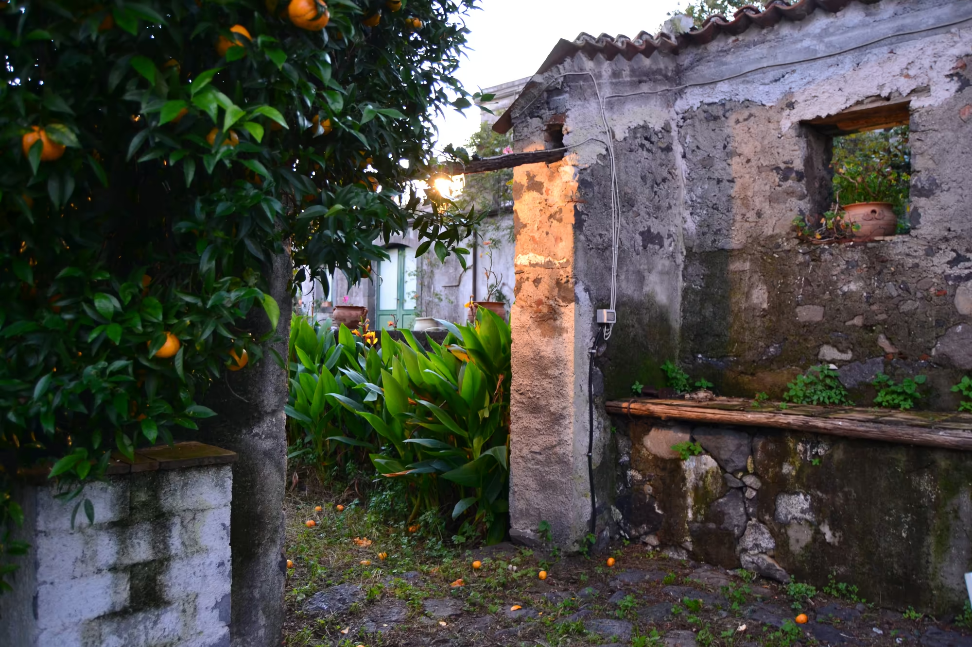
The farmhouses have taken on a new role in the last few decades. With farm incomes falling and the towns expanding, many of the old estates and country houses on the slopes were converted to farm stays and holiday accommodation, and agritourism became a way of keeping the buildings and the land in use. The courtyard house with the tiled roof and the garden around it, in these pictures, belongs to that development: it is a working farm that also takes guests, which is the arrangement that has preserved most of these buildings.
The citrus groves were planted for export, and the infrastructure followed them. Oranges and lemons from these slopes were an export crop carried by sea from harbours such as Riposto to markets in northern Europe, and the terraces, walls and irrigation channels that surround Giarre were built to support that trade; the packing houses and the small stations on the old railway lines belong to the same period. When the trade declined, the trees stayed, and the groves of the town became part of its landscape rather than only its economy.
Geology
The mountain above the town is built of layers, and its growth is usually described in stages. Etna began as submarine fissural activity that produced pillow lavas and a first shield volcano, a broad low form built of fluid lava, and then passed through three main stratovolcano stages, Monte Calanna and Trifoglietto 1 and 2, which built steeper cones. The present Mongibello system has developed in two successive stages from about 15,000 years ago, and the centres of activity have gradually shifted towards the north west, leaving the older edifices as fragments on the flanks.
The flanks carry more than 300 vents, from small holes in the ground to craters hundreds of metres across, and the practical difference between summit and flank activity is a matter of distance. Summit eruptions can be highly explosive and spectacular but rarely threaten the inhabited areas around the volcano; flank eruptions can open at a few hundred metres of altitude, close to or even within settlements, and those are the events that have destroyed villages on this side of the mountain. Since 1600 at least 60 flank eruptions have been recorded, nearly half of them since 1900, with four in the years 2001, 2002 to 2003, 2004 to 2005 and 2008 to 2009.
The soils of the slopes are the reason the agriculture is here. Lava and ash weather into material rich in minerals, which drains quickly and holds moisture in its pores, and where it has been broken up and terraced it supports citrus, olives, vines and vegetables with very little flat ground. The terraces on the hillside above the town, with their dry stone retaining walls, are the way a steep volcanic slope is converted into farmland, and they follow the old flows across the hill.
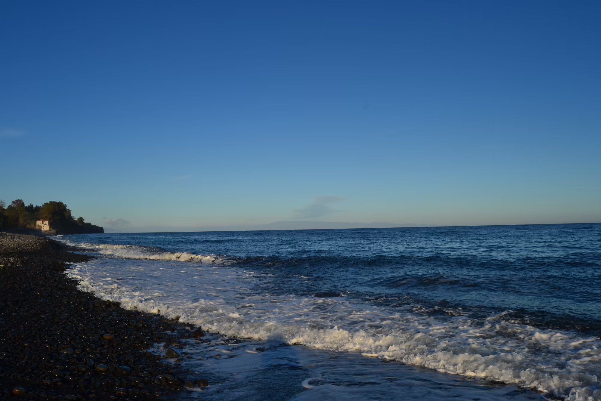
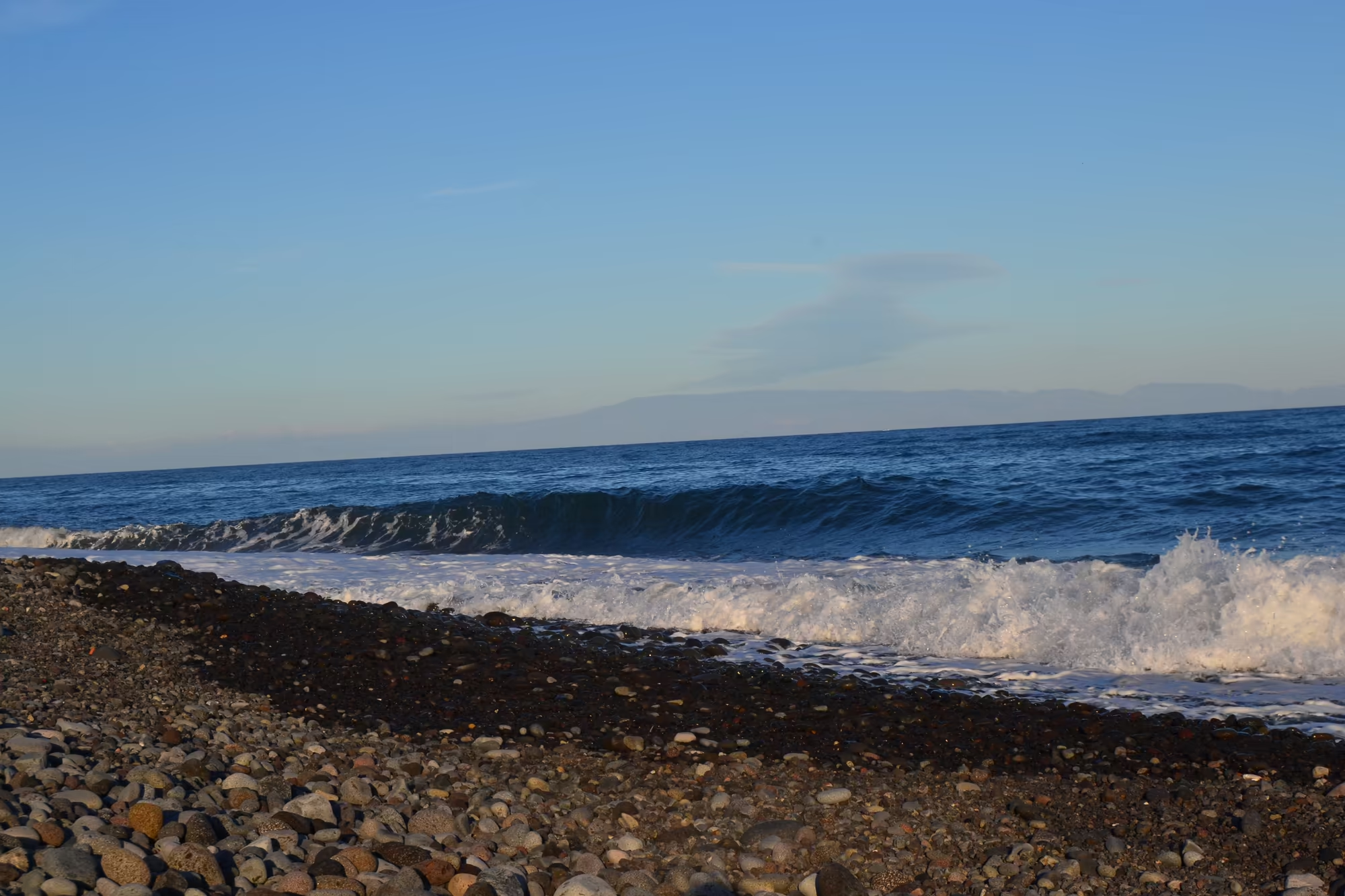
The coast is the other side of the same process. Where lava reached the sea it built platforms and deltas, and the beaches between them are made of dark rounded pebbles rather than sand. Winter waves move the shingle and cut into the soft ground behind it, so the shoreline is a moving boundary: what is beach this year can be rock next year, and the coastal road has to be maintained against both the sea and the mountain behind it. On the day of these pictures the waves were breaking hard along the pebbles, with white foam and a grey sky, which is the coast at its most energetic.
Weather and rock combine to make the terraces work. Rain on a volcanic slope runs off quickly unless it is slowed, and the dry stone walls of the terraces slow it, hold the soil behind them and let the surplus through their joints rather than over the surface; the volcanic material below drains fast, so the roots do not stand in water. The result is a farming system that depends on walls as much as on soil, and which has to be repaired after every heavy winter.
Things to See
The views of the summit are the first thing to watch. In the morning the twin peaks stand above the blue sky with a plume of smoke from the crater, snow lying on the ridges and the coast spread out below; by evening the summit keeps the light after the plain has gone grey and the palm fronds show as silhouettes against it. Because the mountain is so close, its moods are part of the daily weather report rather than a spectacle to be visited.
The orange groves are the second subject, and in February they are at their best. Trees heavy with ripe fruit stand in rows, with fallen oranges scattered on the ground between them, and a weathered stone wall or an outbuilding with a tiled roof provides the frame; at dusk the fruit keeps the light long after the leaves have gone dark. The harvest in this season is the central agricultural event of the year on these slopes, and the groves are worked rather than decorative.
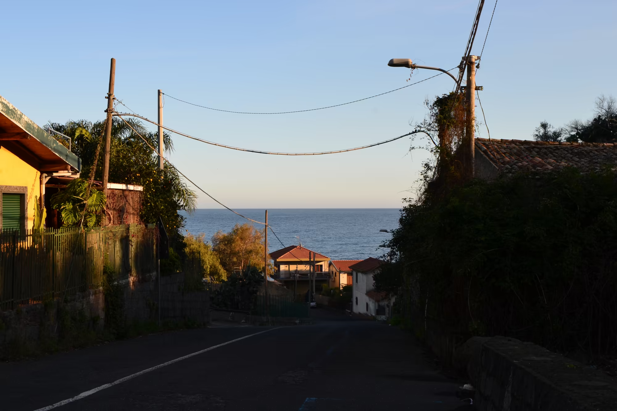
The avenues and streets give the mountain its frames. A broad avenue lined with tall palms curves towards the snow capped summit, and a narrow village street with terracotta roofed houses slopes down towards the sea with the mountain behind; both are compositions that exist because the town is built between the two. Walking them in the late afternoon, with the light low and the air cold, is the best way to see how the town and the volcano are arranged.
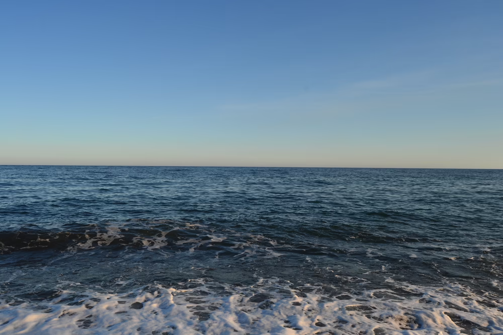
The sea completes the day. Blue water rolls towards the shore and breaks in white foam along a curved pebble beach with a tree covered headland beyond it, and a large wave curls and throws spray over the stones in the wind. Between the groves and the beach, a stone courtyard with a tiled roof and steps stands in a lush garden, which is where the day usually ends: fruit on the trees above, waves below, and the white summit of the volcano hanging over both.
The coast path and the beaches are worth an afternoon in their own right. The shore below the town is a series of dark pebble beaches and low rocky points, with a tree covered headland in one direction and the houses of the town in the other; in winter the waves arrive without warning and the beaches are empty, and the shingle is moved by every storm. Where the ground above the beach is flat enough there are small gardens and steps down to the water, which is the closest thing this coast has to a promenade.
References
- Longo, S. & others (2021). Distribution and density of scale insects on citrus-groves in eastern Sicily. In: Integrated Pest Control in Citrus-Groves. doi.org/10.1201/9781003079279-13
- Orange and lemon cultivation in Sicily (1886). Scientific American 54, 118. doi.org/10.1038/scientificamerican02201886-8454asupp
- Wikipedia contributors (2026). Acireale. en.wikipedia.org/wiki/Acireale
- Wikipedia contributors (2026). Blood orange. en.wikipedia.org/wiki/Blood_orange
- Wikipedia contributors (2026). Citrus. en.wikipedia.org/wiki/Citrus
- Wikipedia contributors (2026). Decade Volcano. en.wikipedia.org/wiki/Decade_Volcano
- Wikipedia contributors (2026). Etna DOC. en.wikipedia.org/wiki/Etna_DOC
- Wikipedia contributors (2026). Giarre. en.wikipedia.org/wiki/Giarre
- Wikipedia contributors (2026). Ionian Sea. en.wikipedia.org/wiki/Ionian_Sea
- Wikipedia contributors (2026). Lemon. en.wikipedia.org/wiki/Lemon
- Wikipedia contributors (2026). Mount Etna. en.wikipedia.org/wiki/Mount_Etna
- Wikipedia contributors (2026). Orange (fruit). en.wikipedia.org/wiki/Orange_(fruit)
- Wikipedia contributors (2026). Sicily. en.wikipedia.org/wiki/Sicily