Day 4 - Rub' al Khali - The Empty Quarter












Journal Notes
General
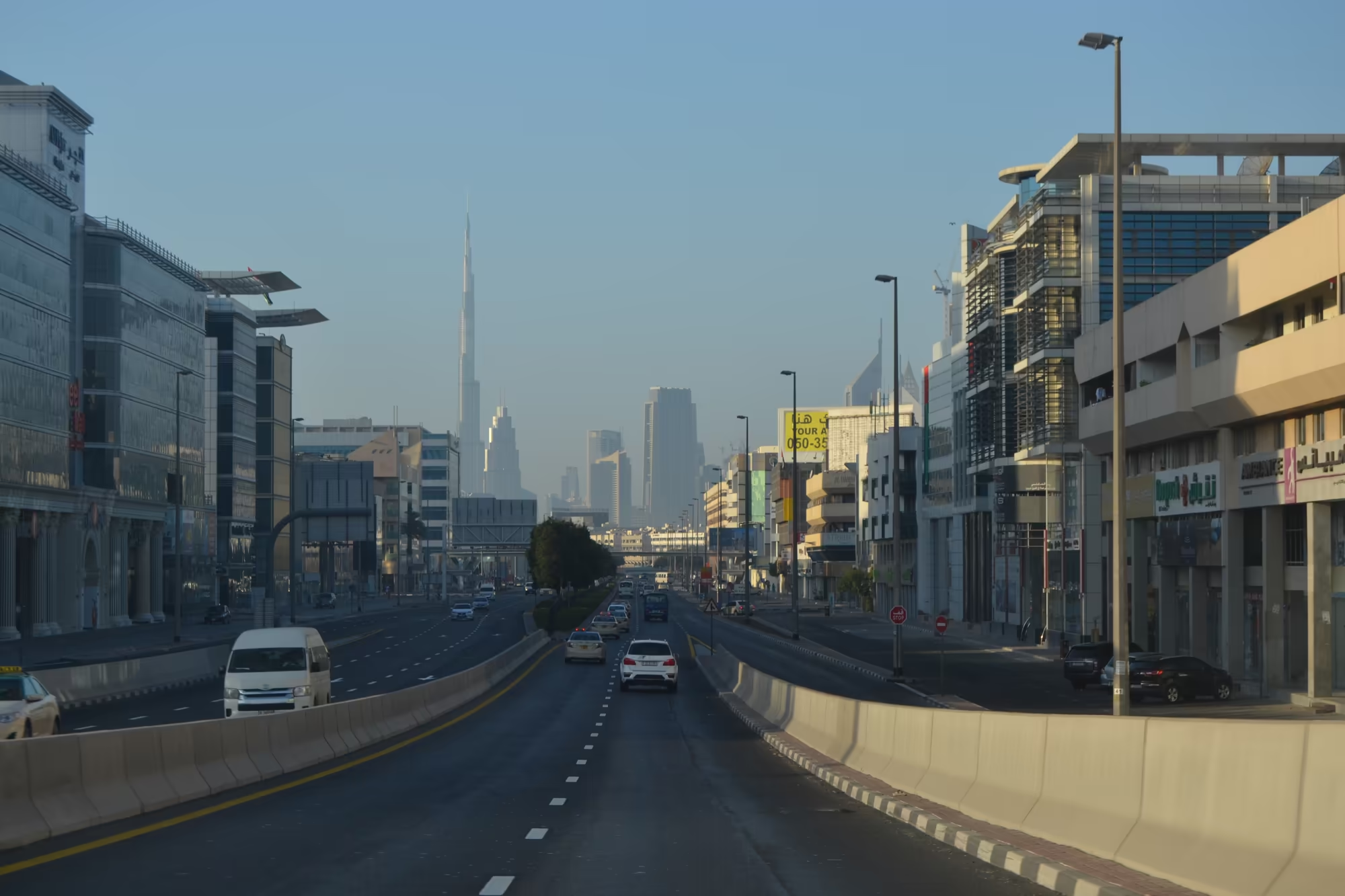
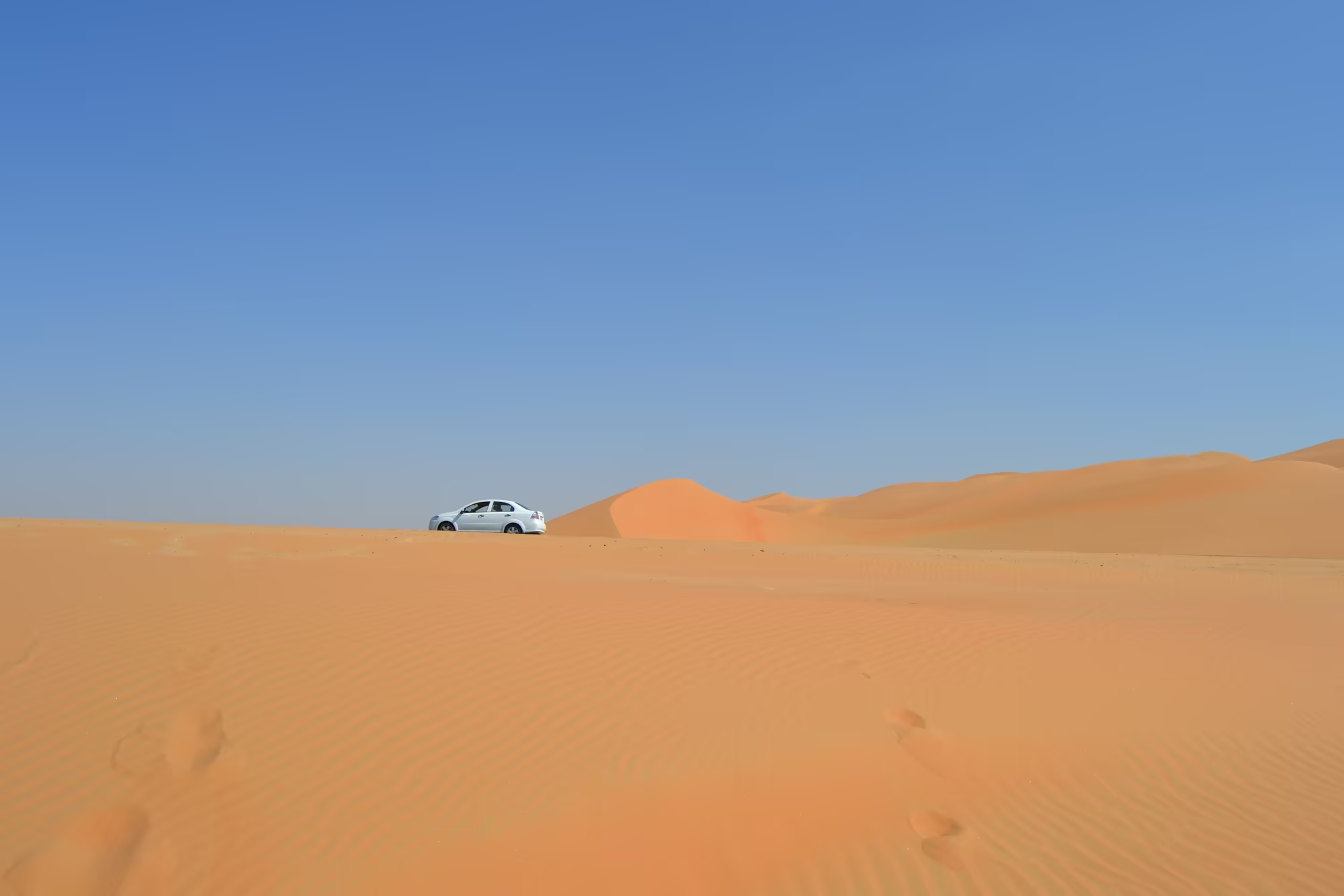
The last day of the journey was the long one. It began in the city, with the skyline in the mirror and the Burj Khalifa standing over it, and it ended a hundred and fifty kilometres south west of Abu Dhabi, on the northern edge of the Rub’ al Khali, the Empty Quarter, in a landscape of orange sand that runs to the horizon in every direction. Between the two lay four hours of desert road, several police checkpoints, two towns, a camel farm, and a great deal of nothing that is worth the drive in itself.
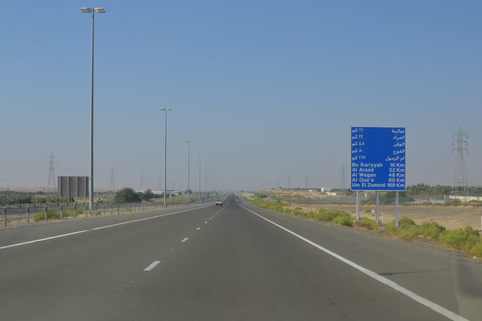
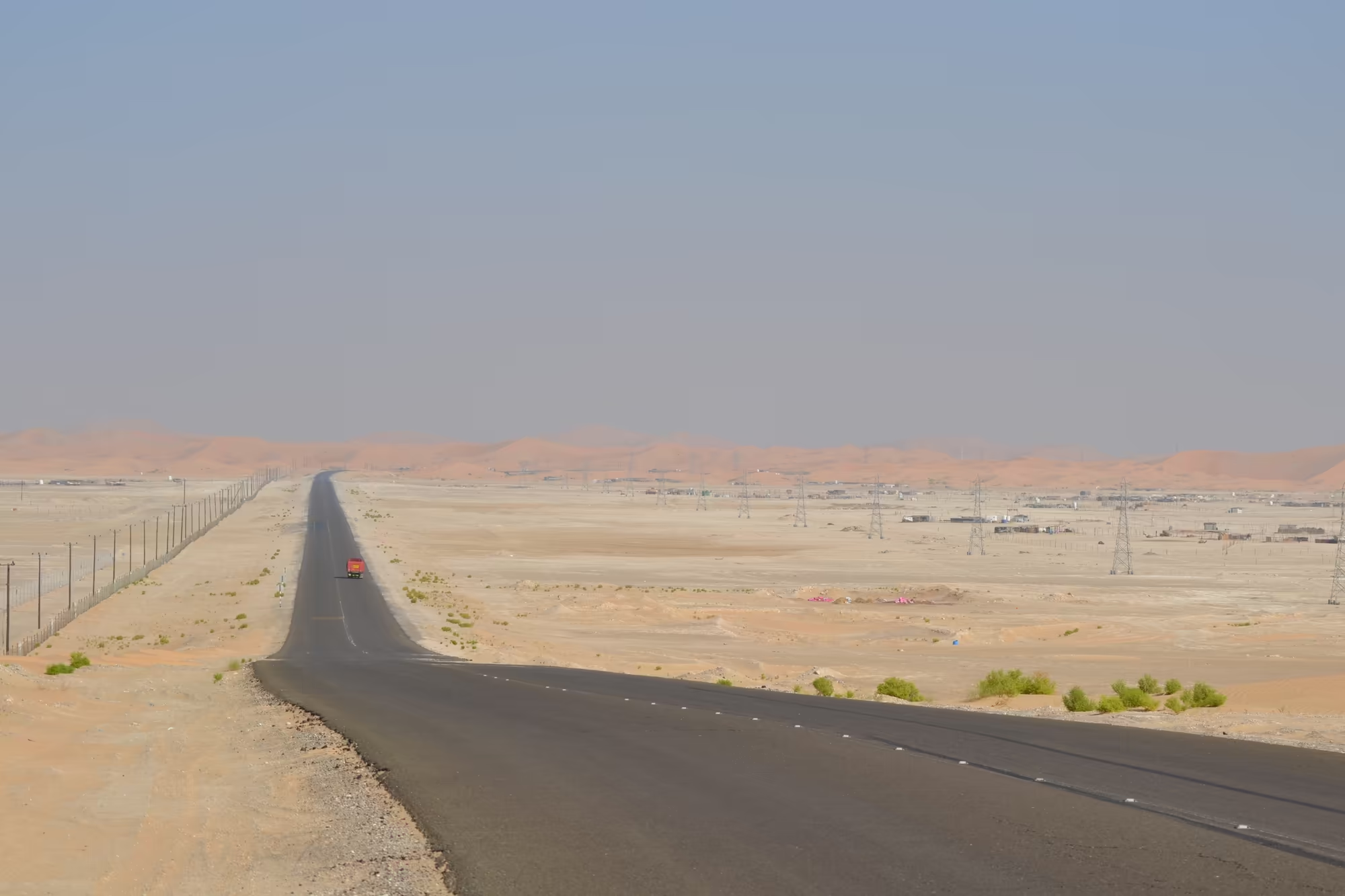
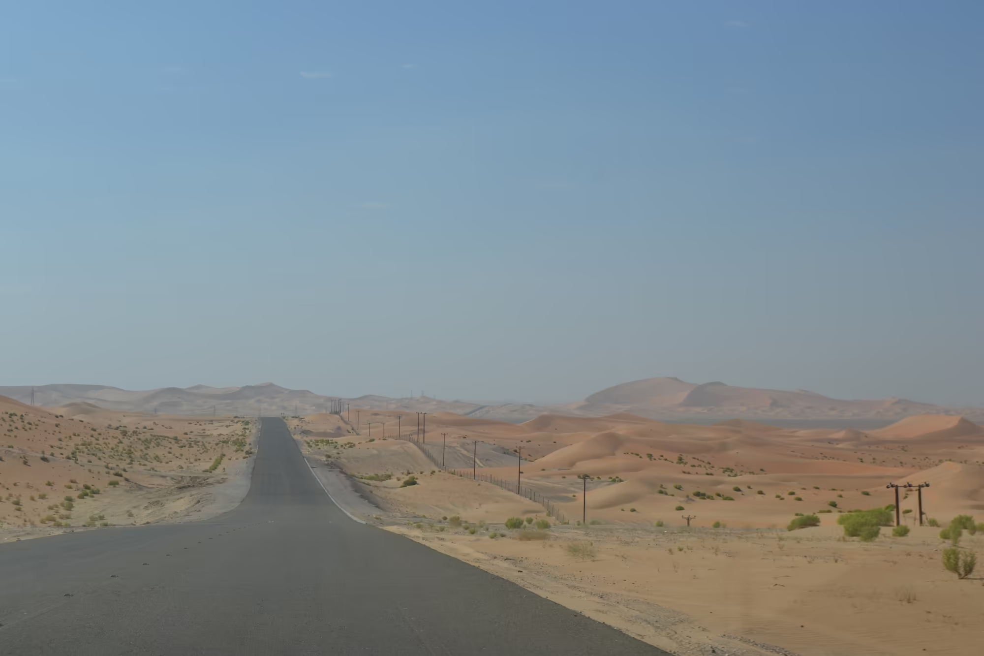
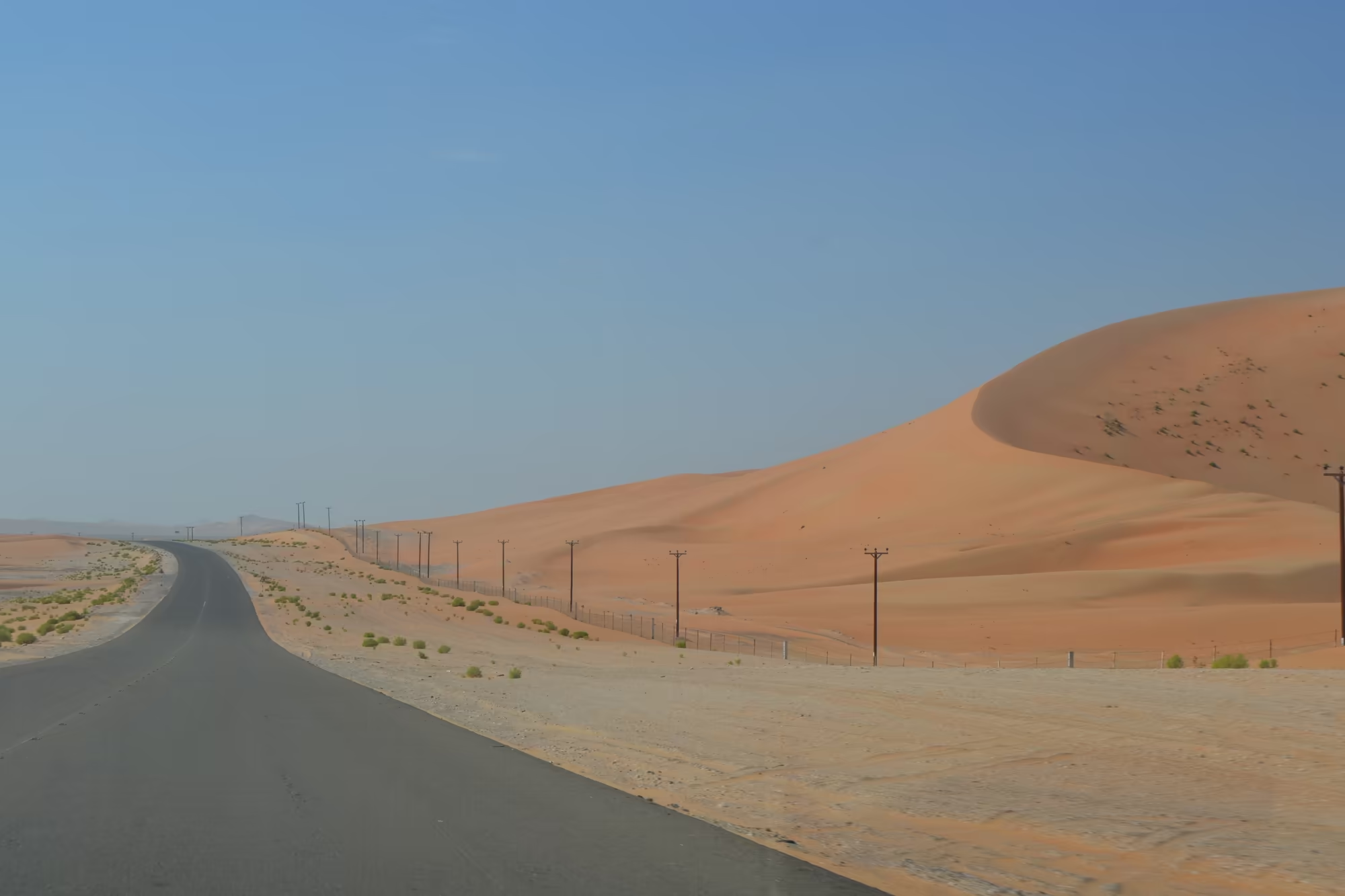
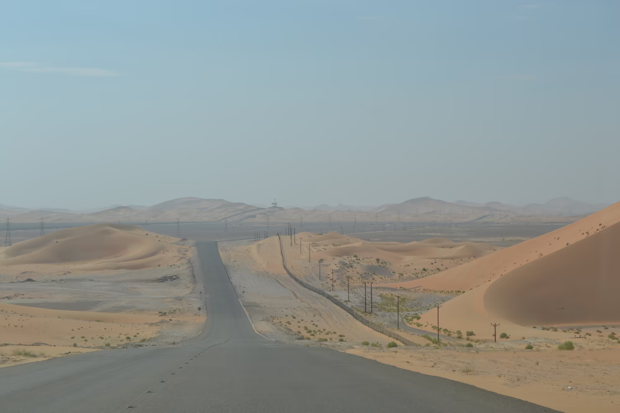
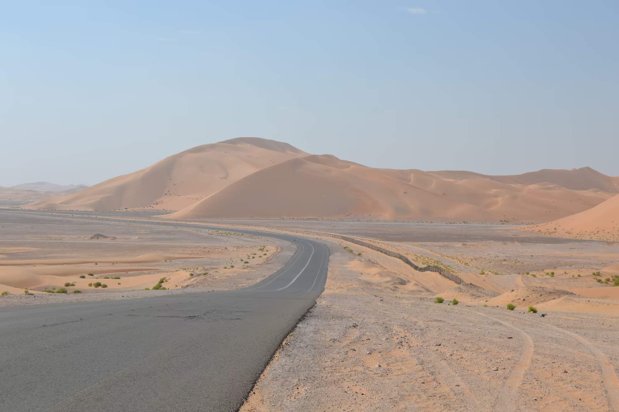
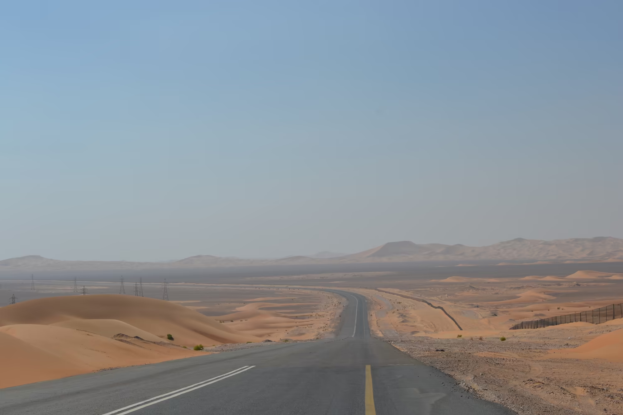
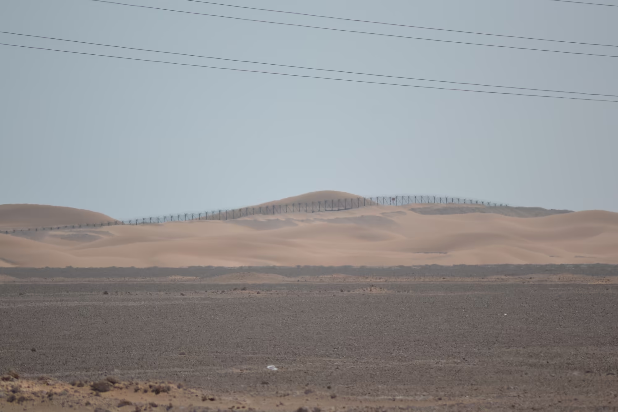
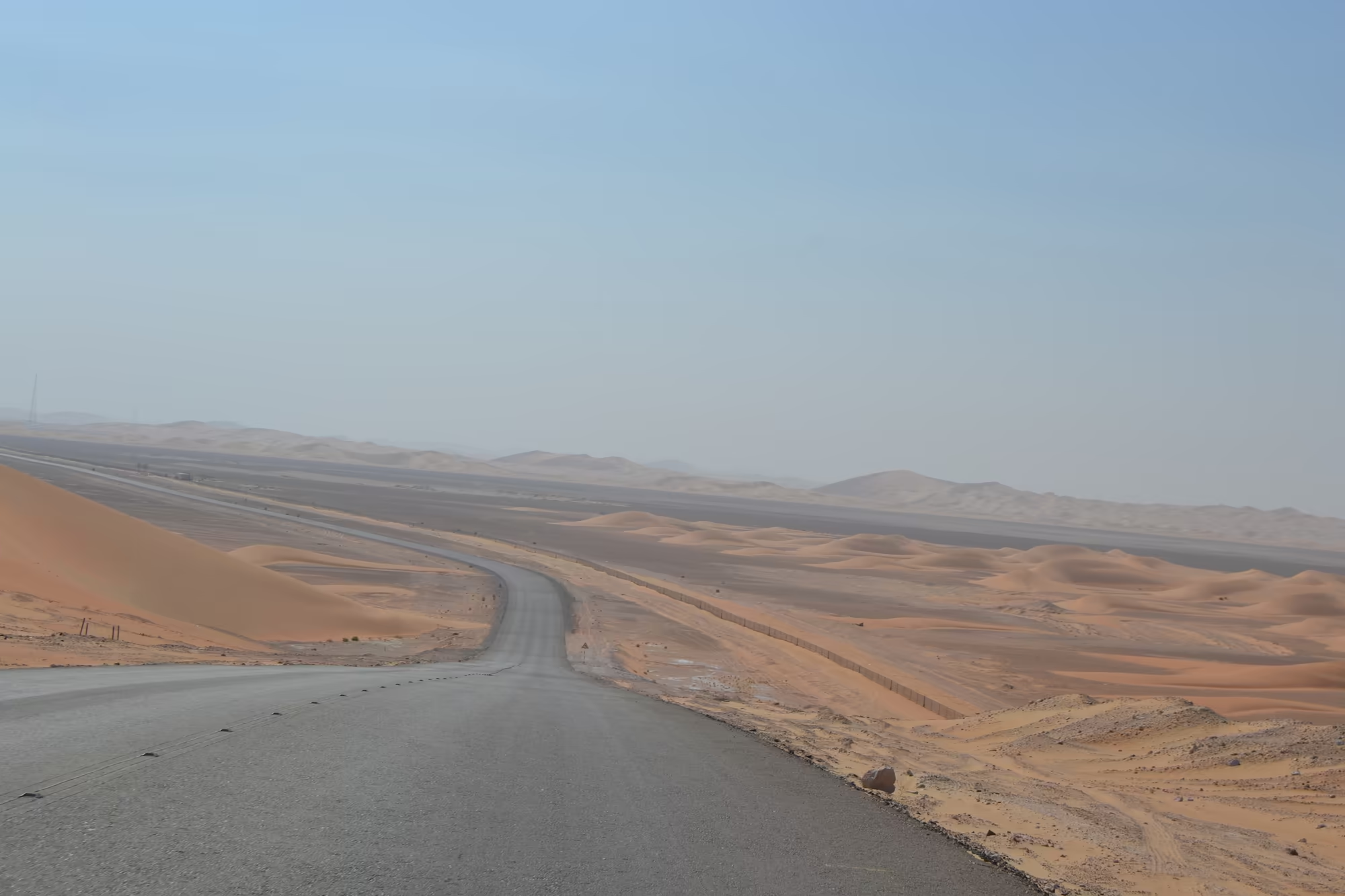
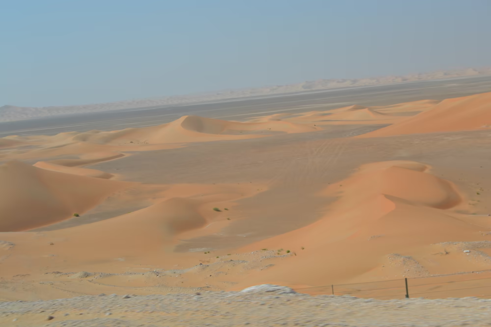
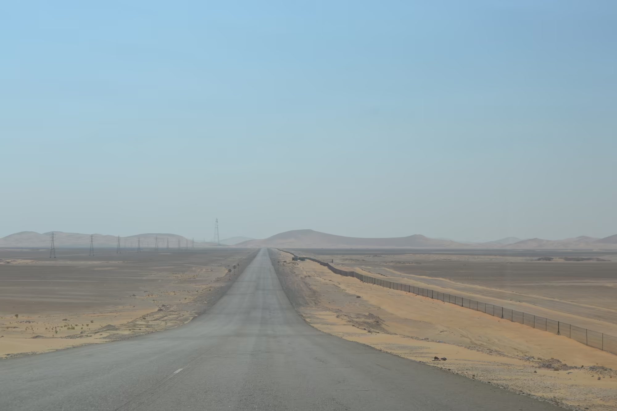
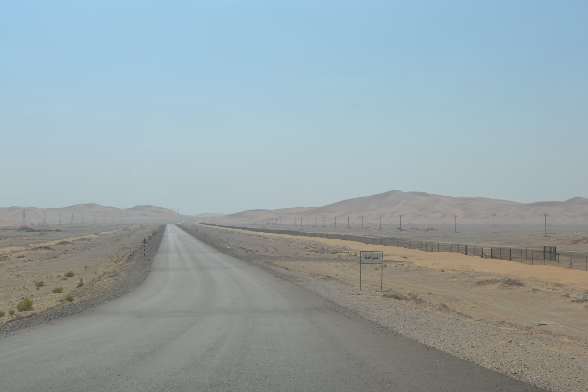
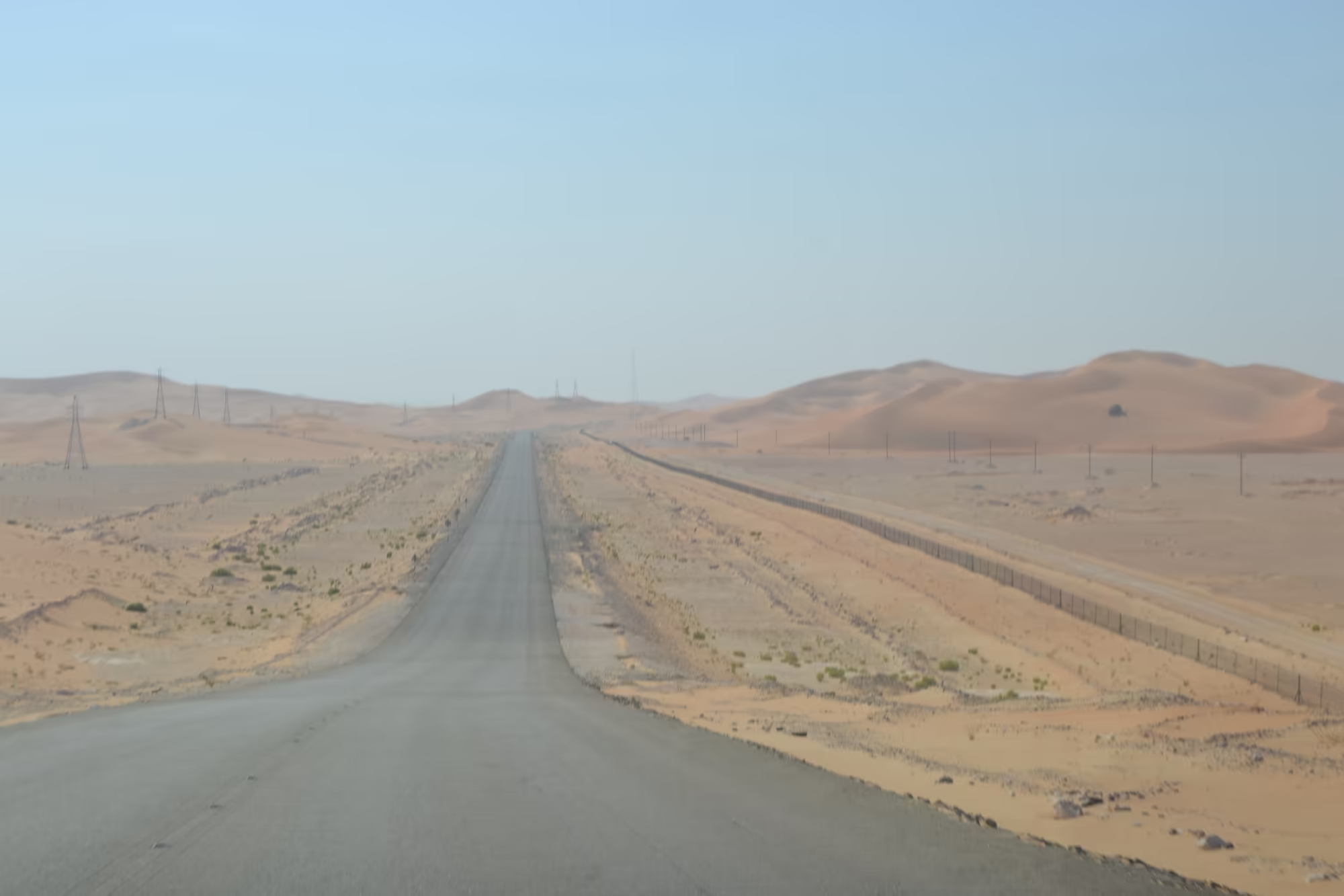
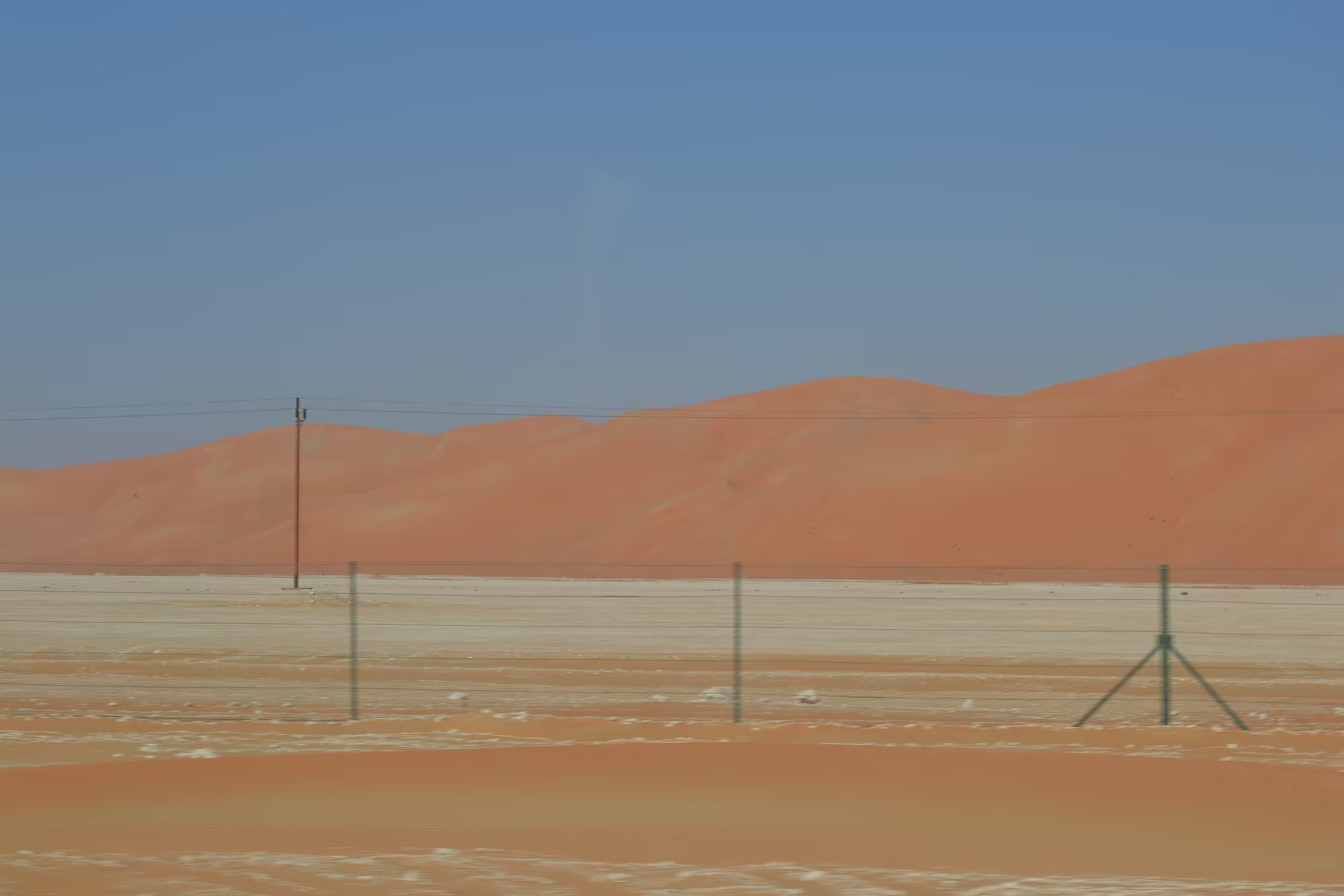
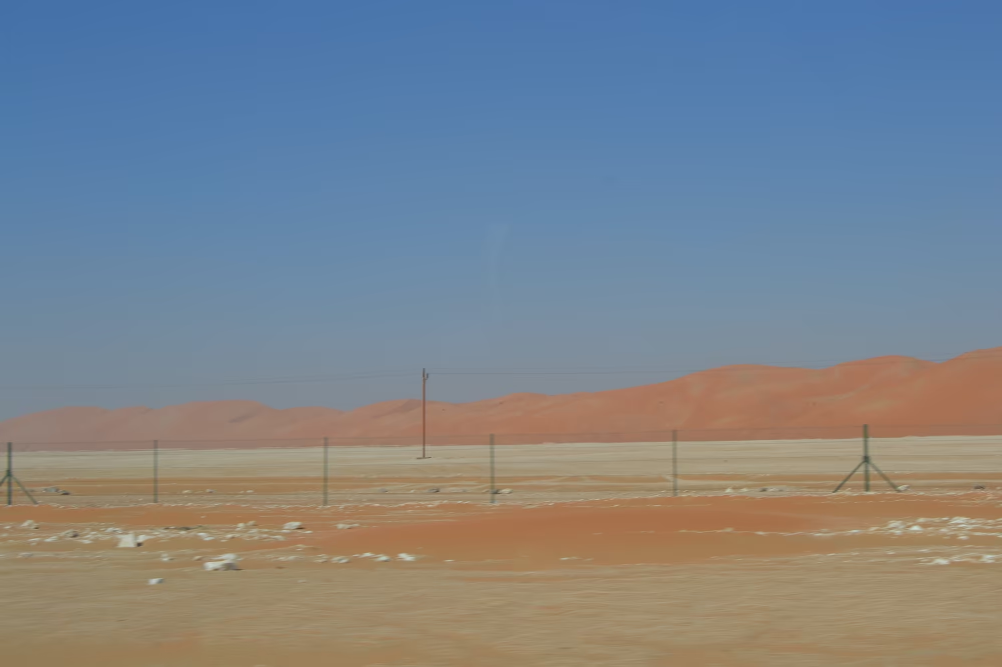
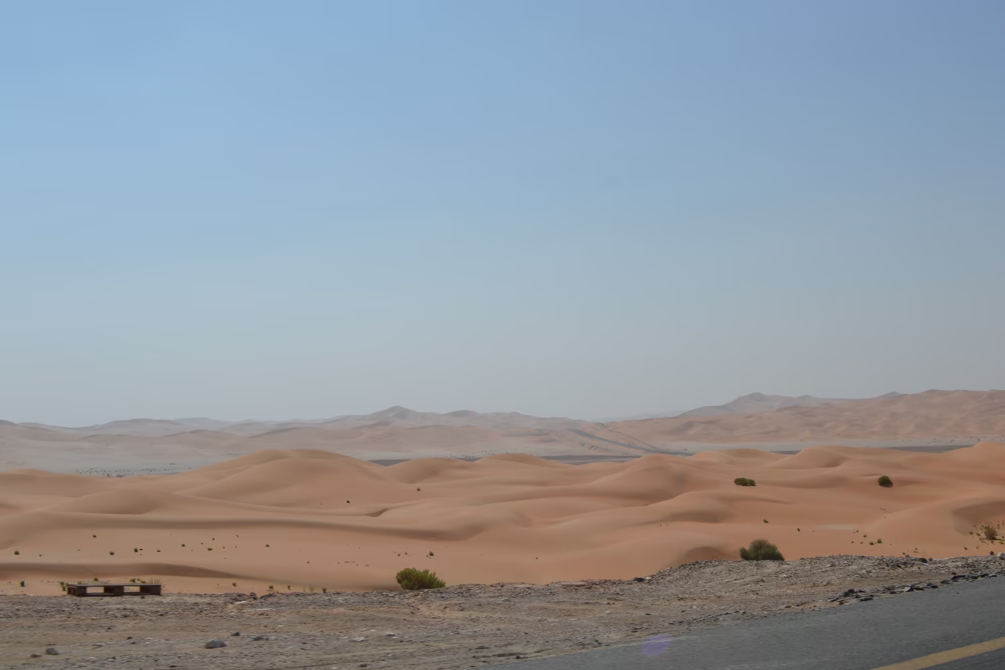
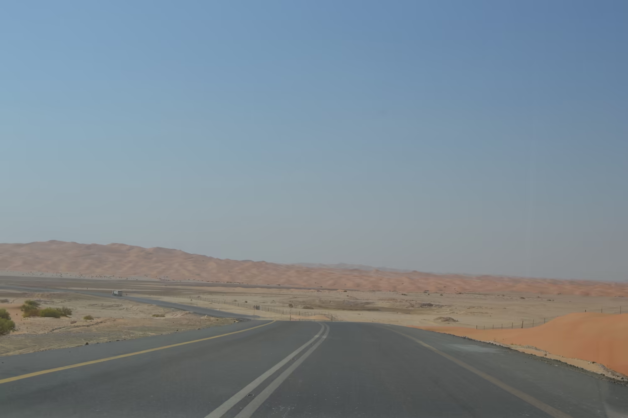
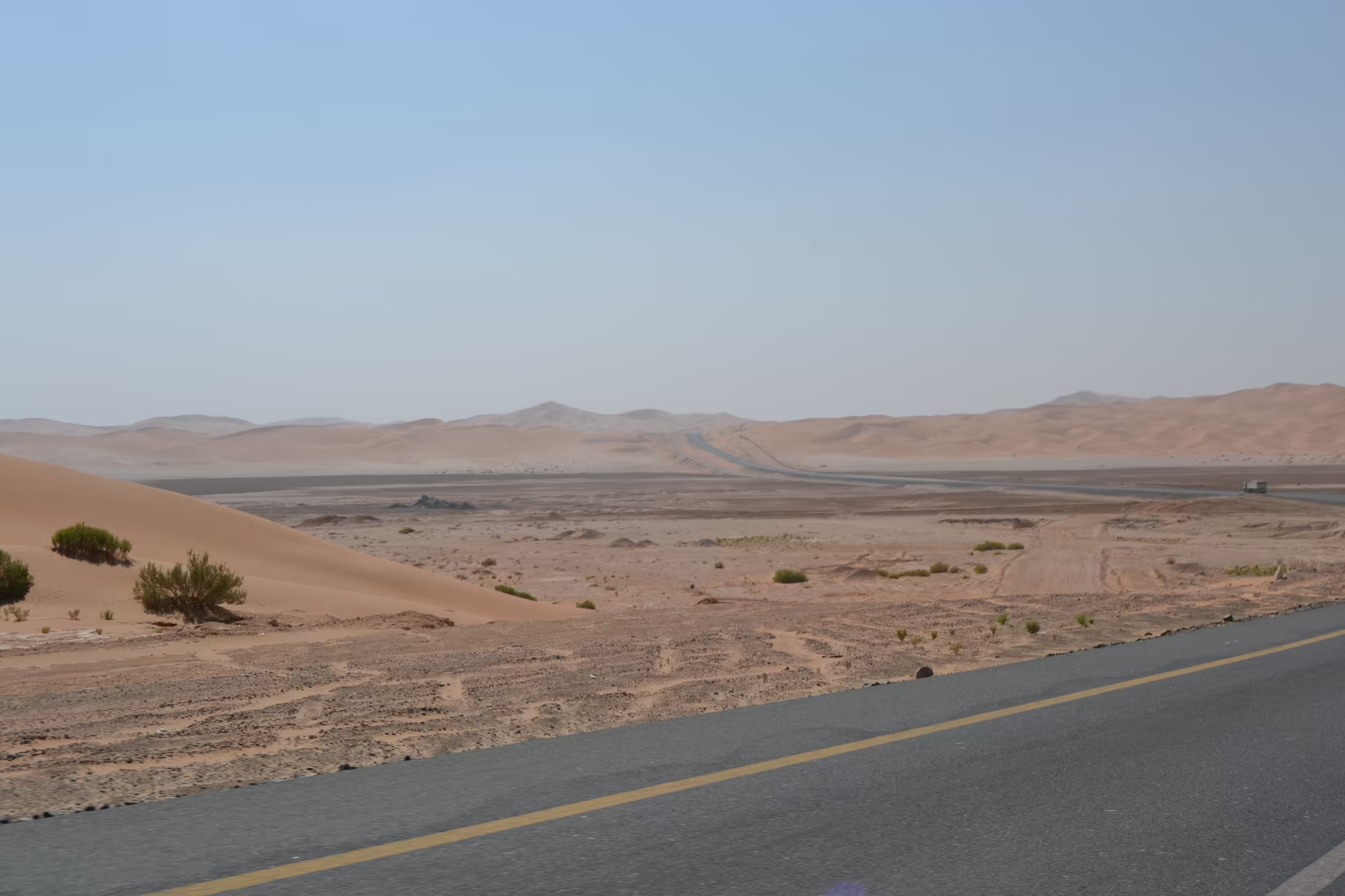
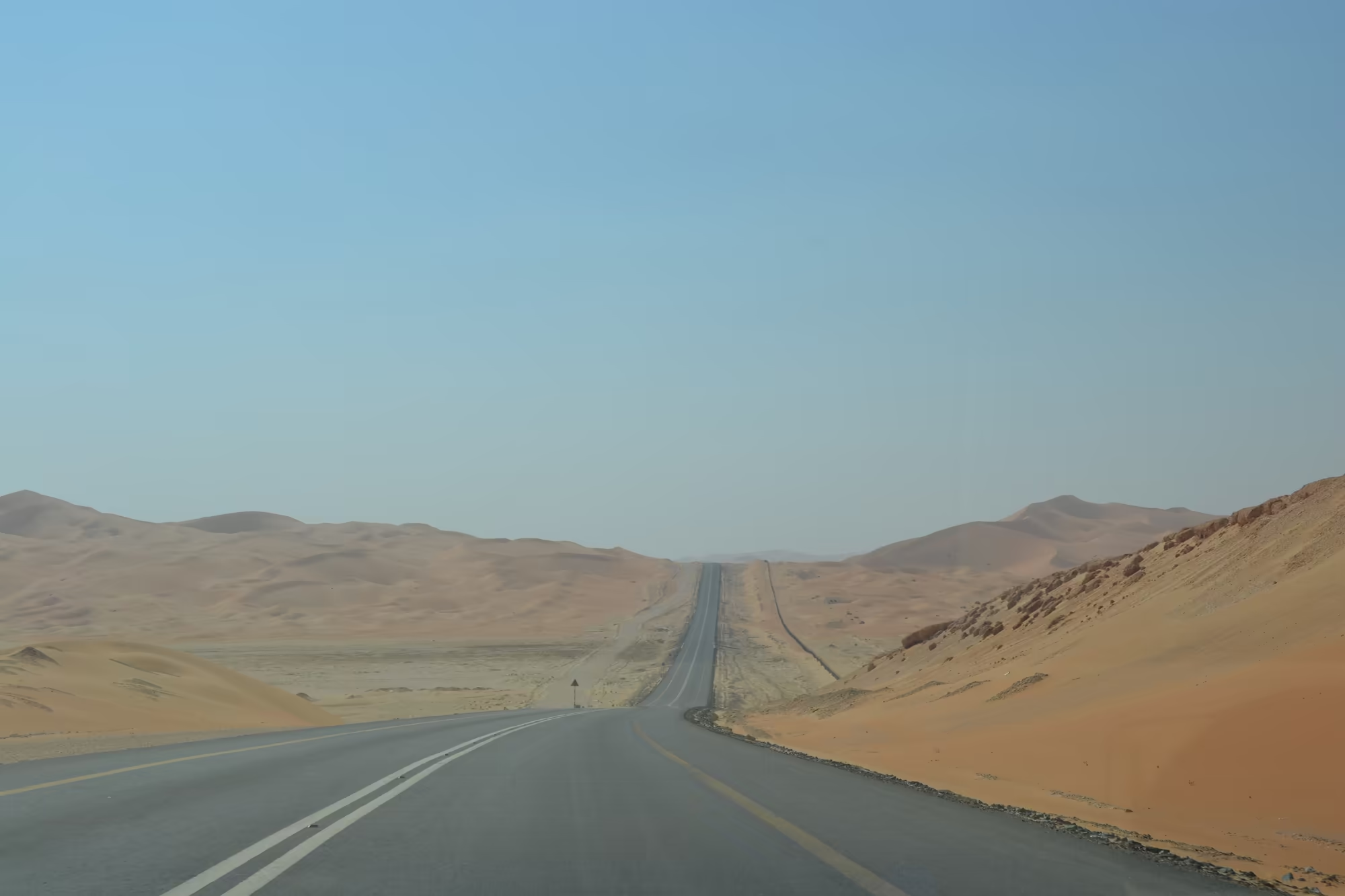
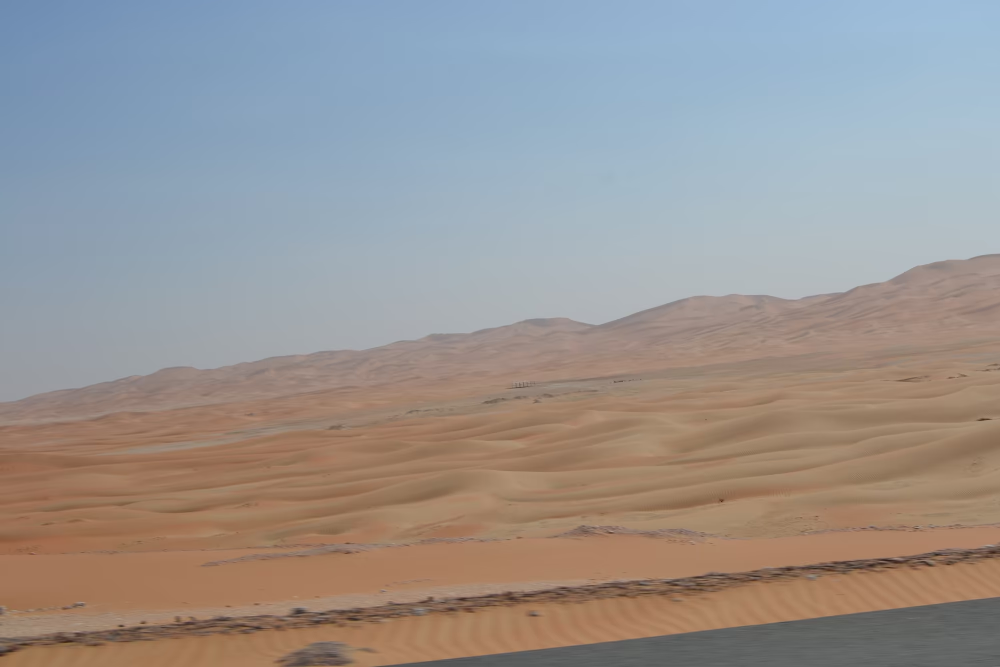
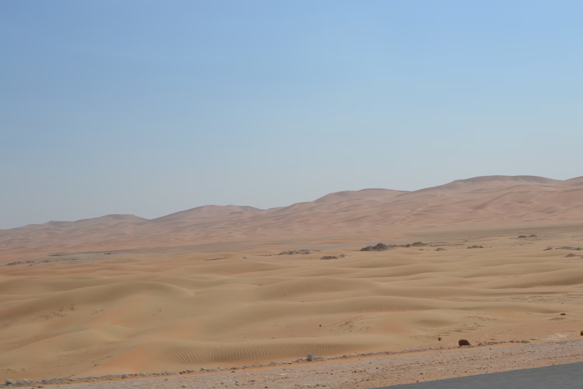
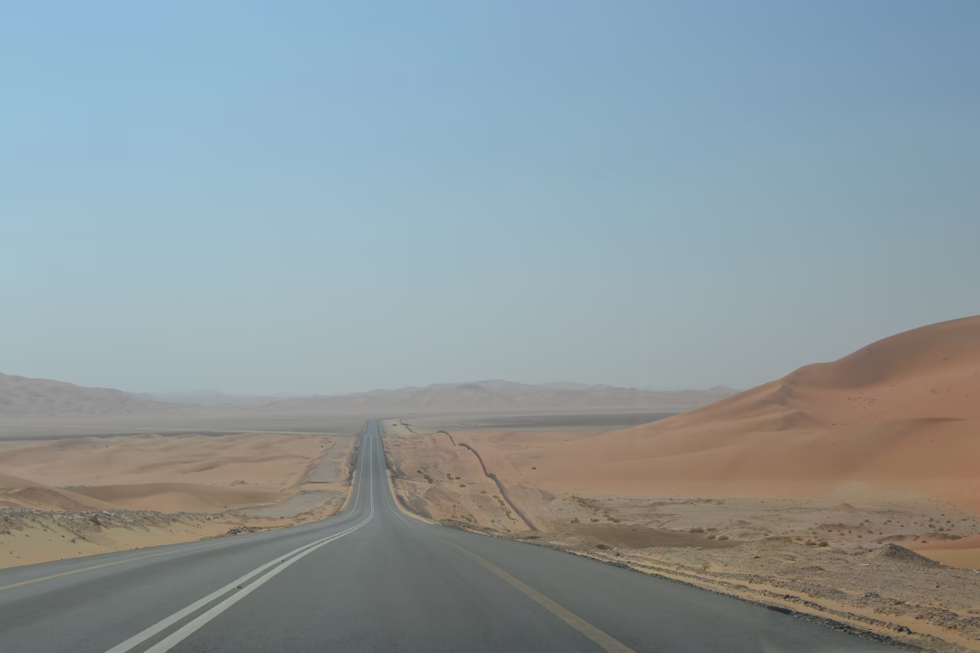
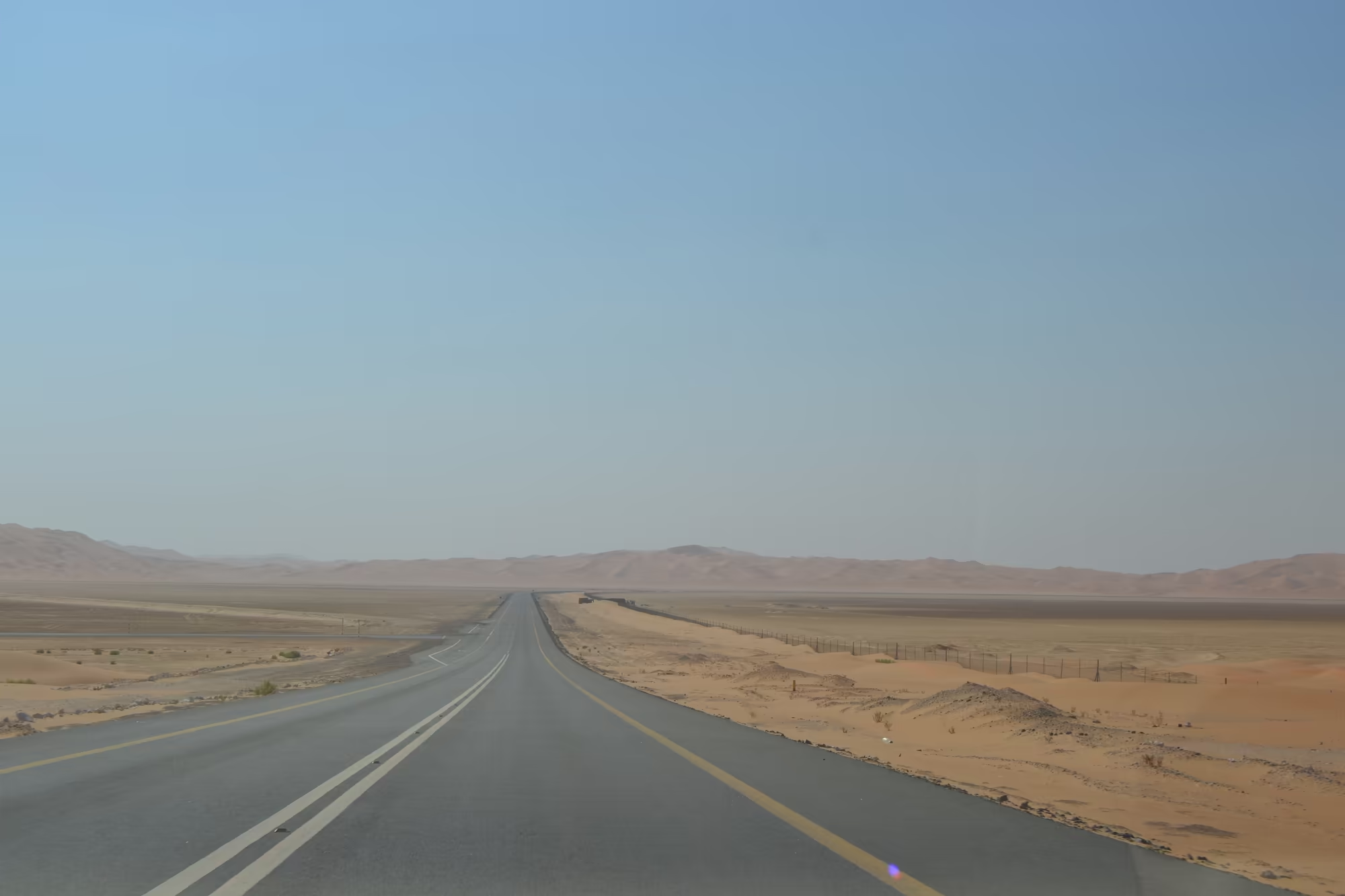
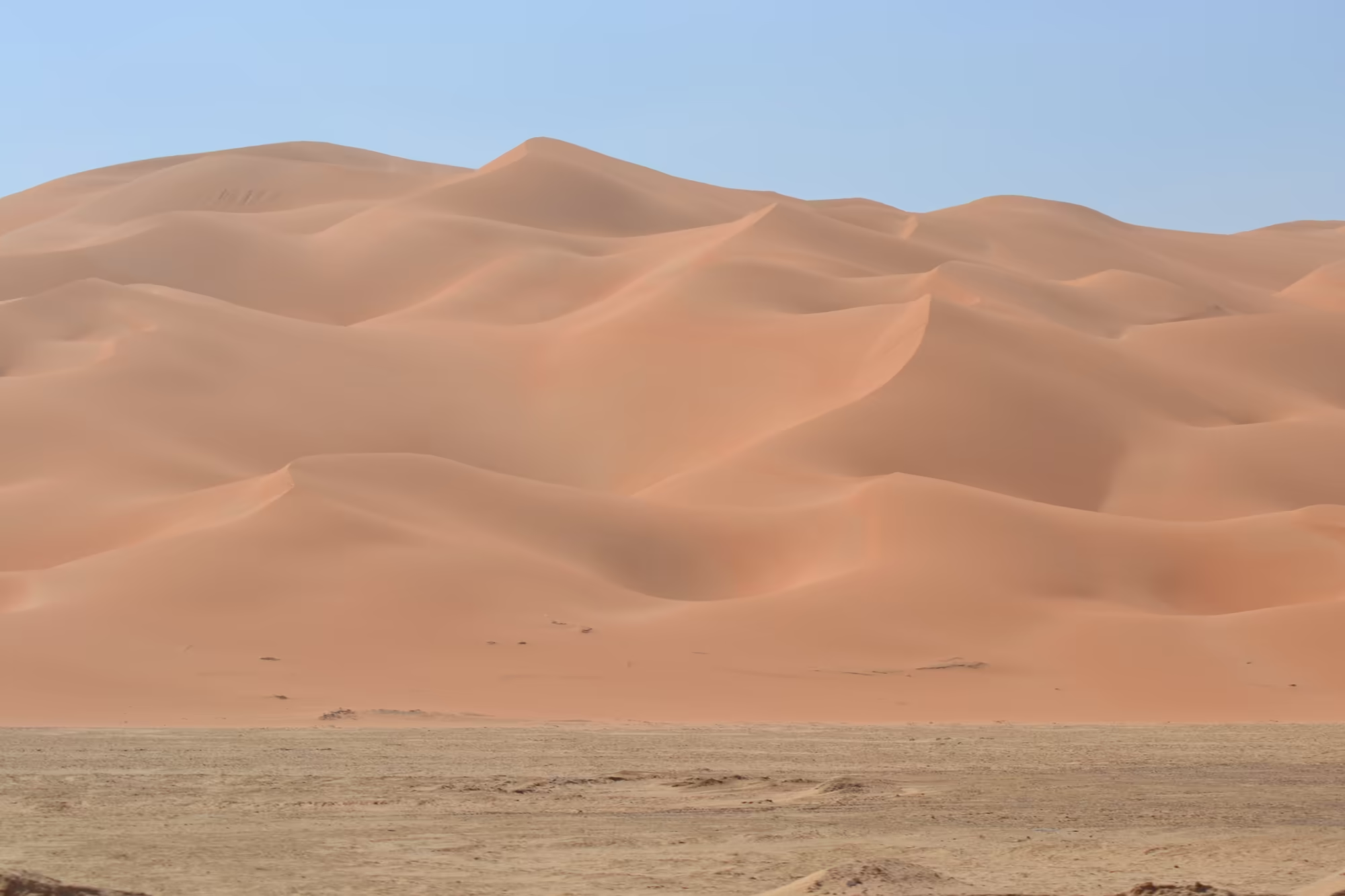
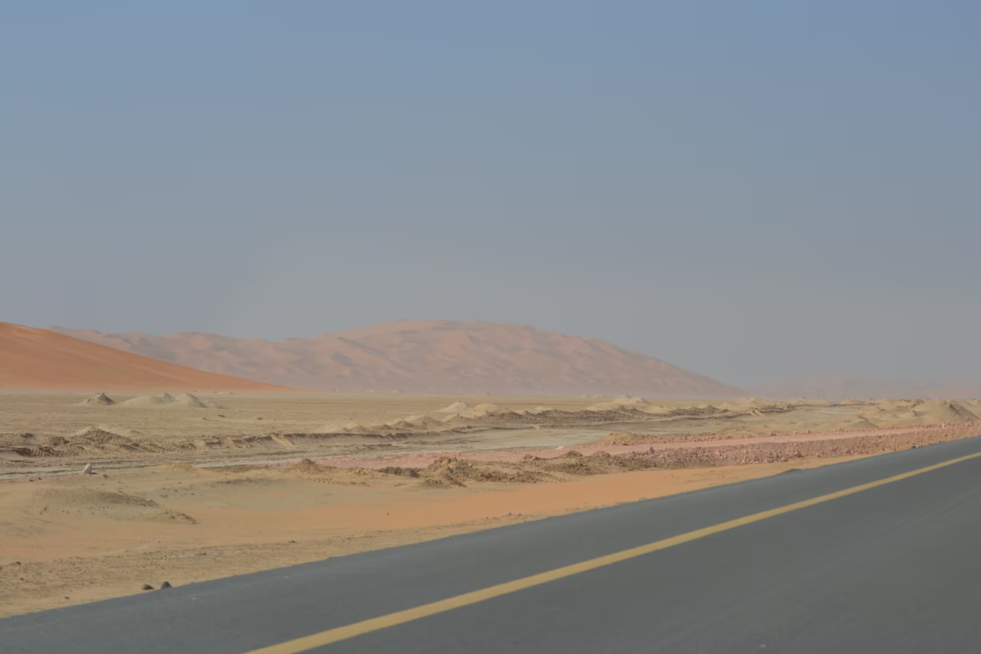
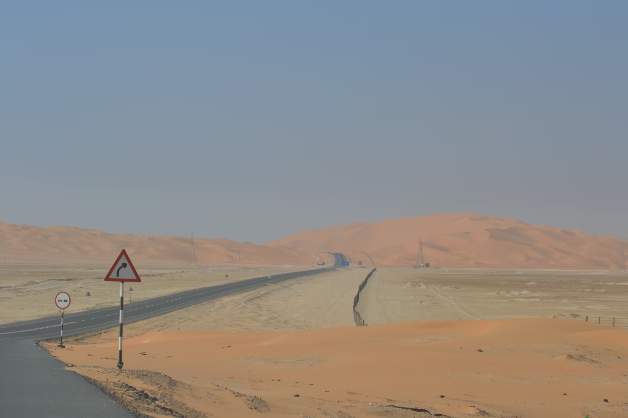
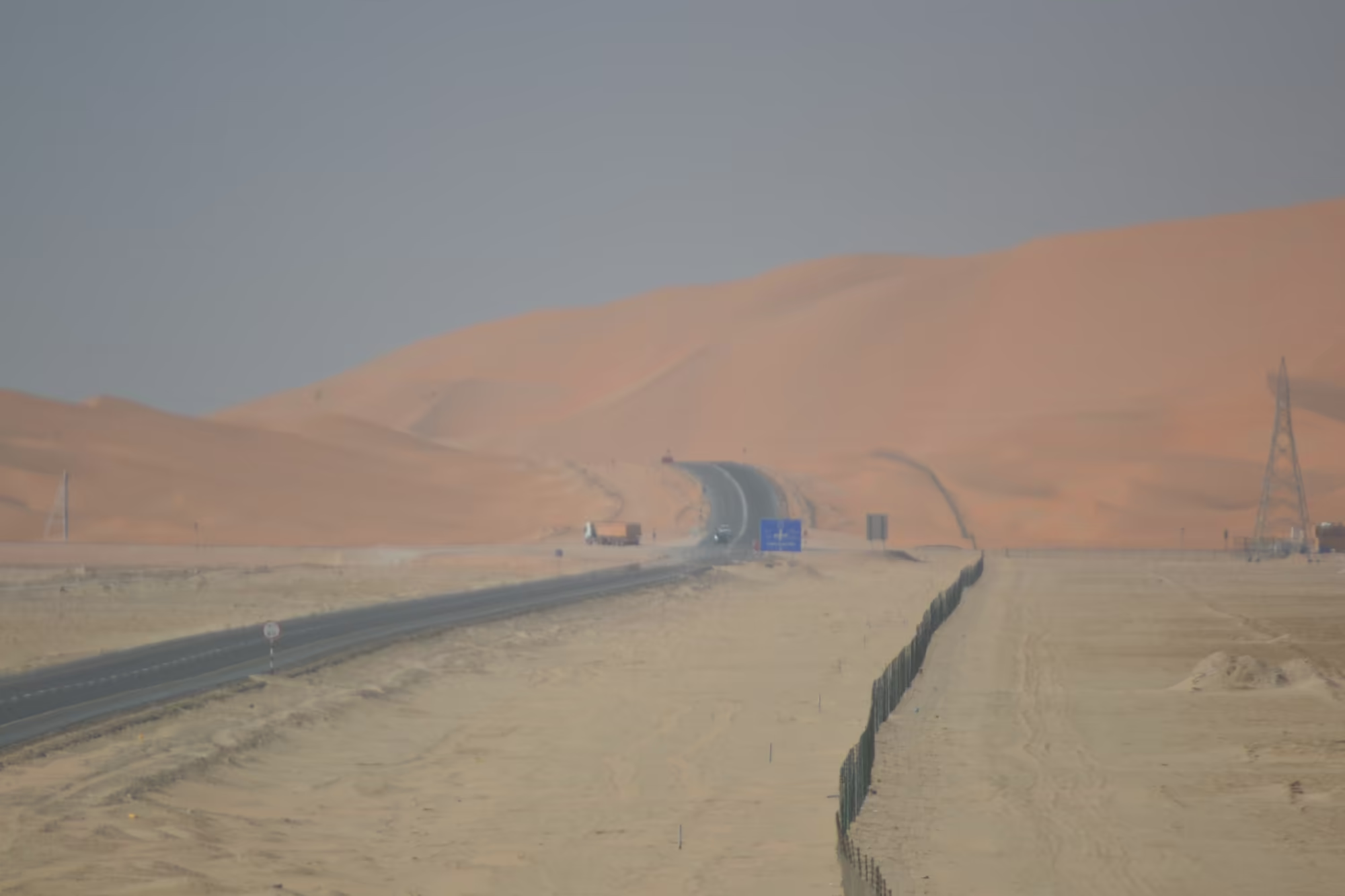
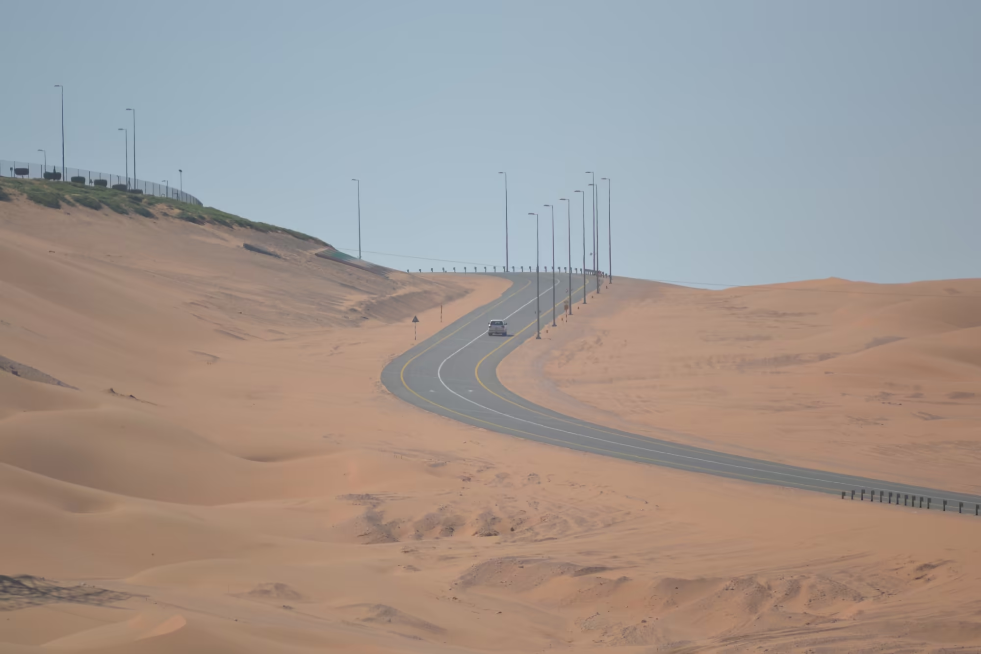
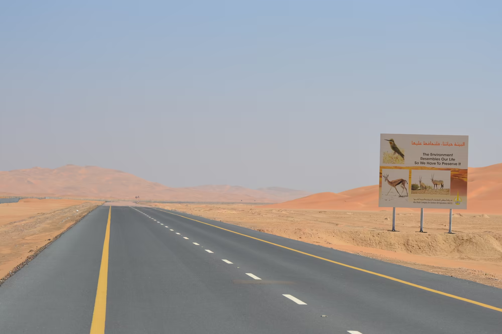
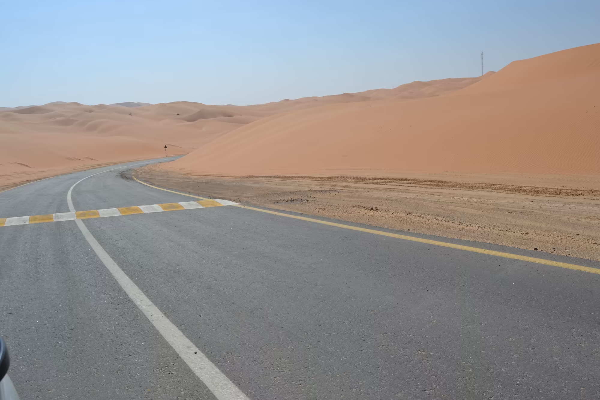
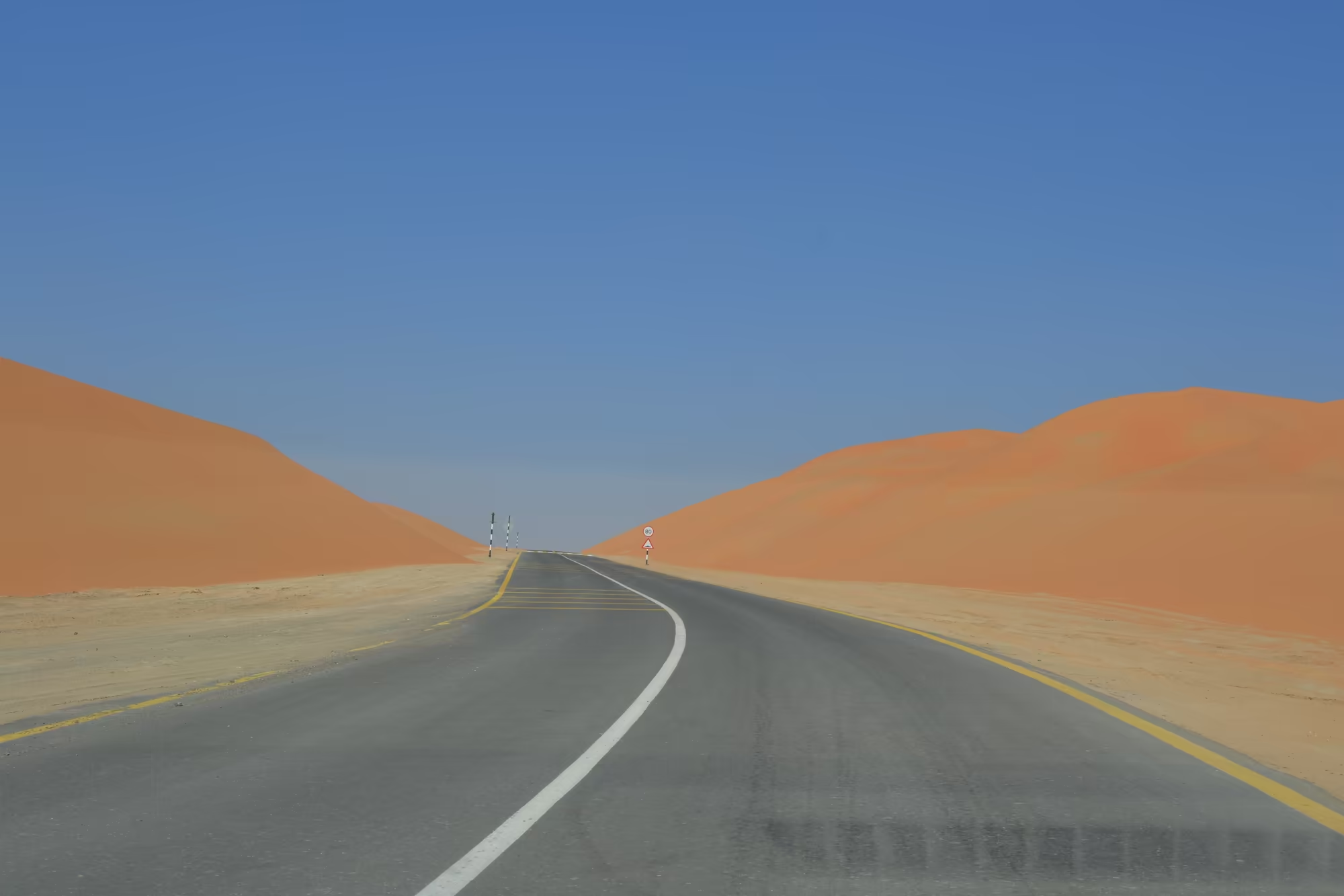
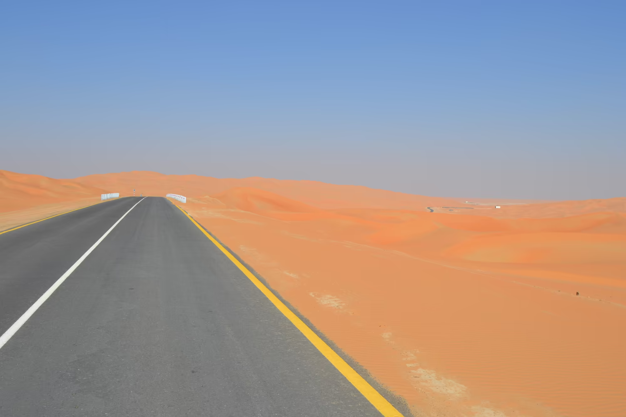
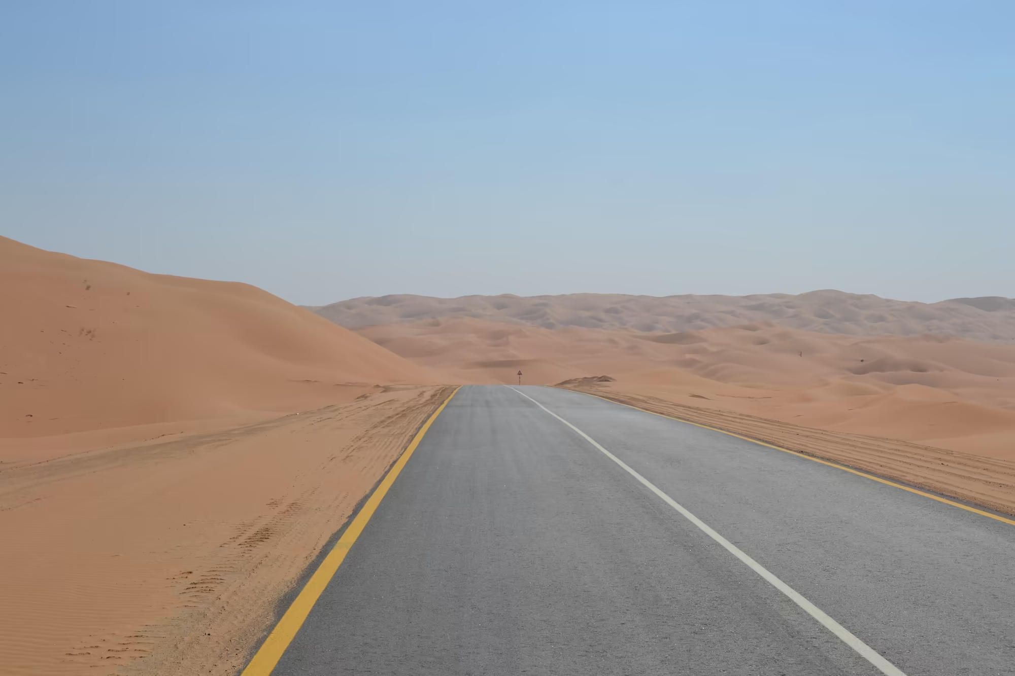
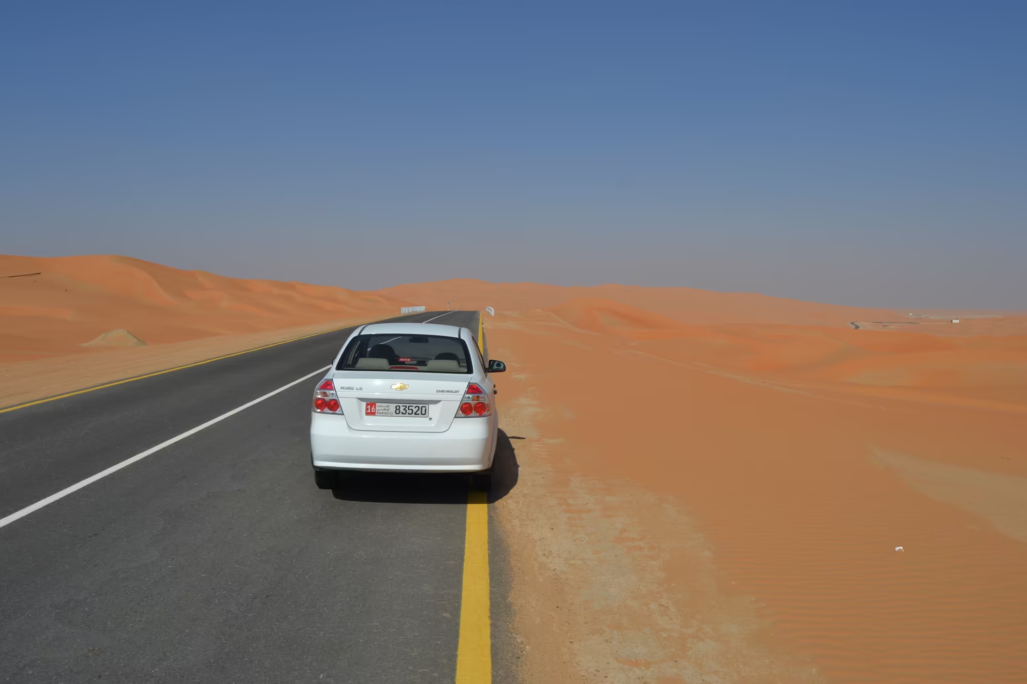
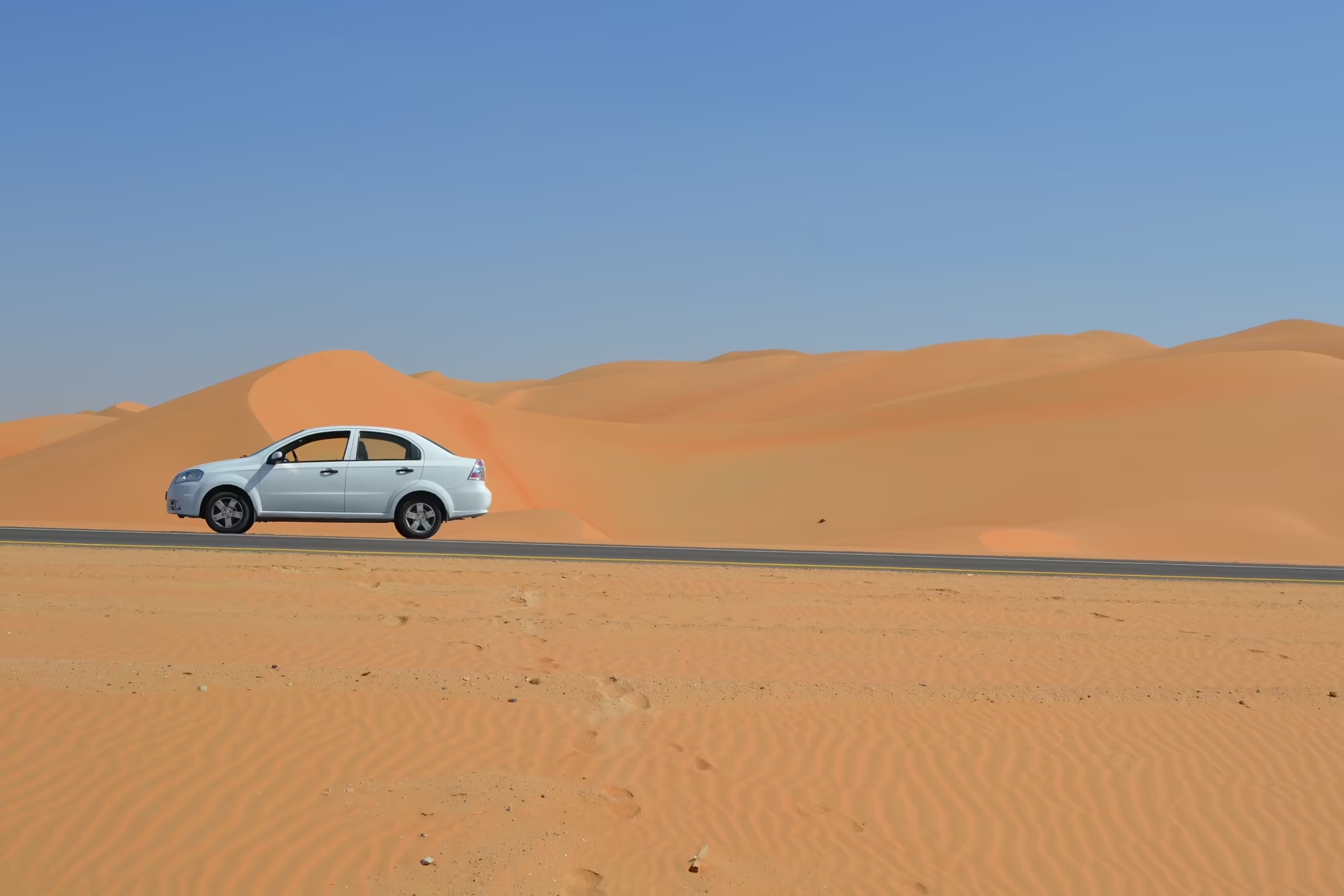
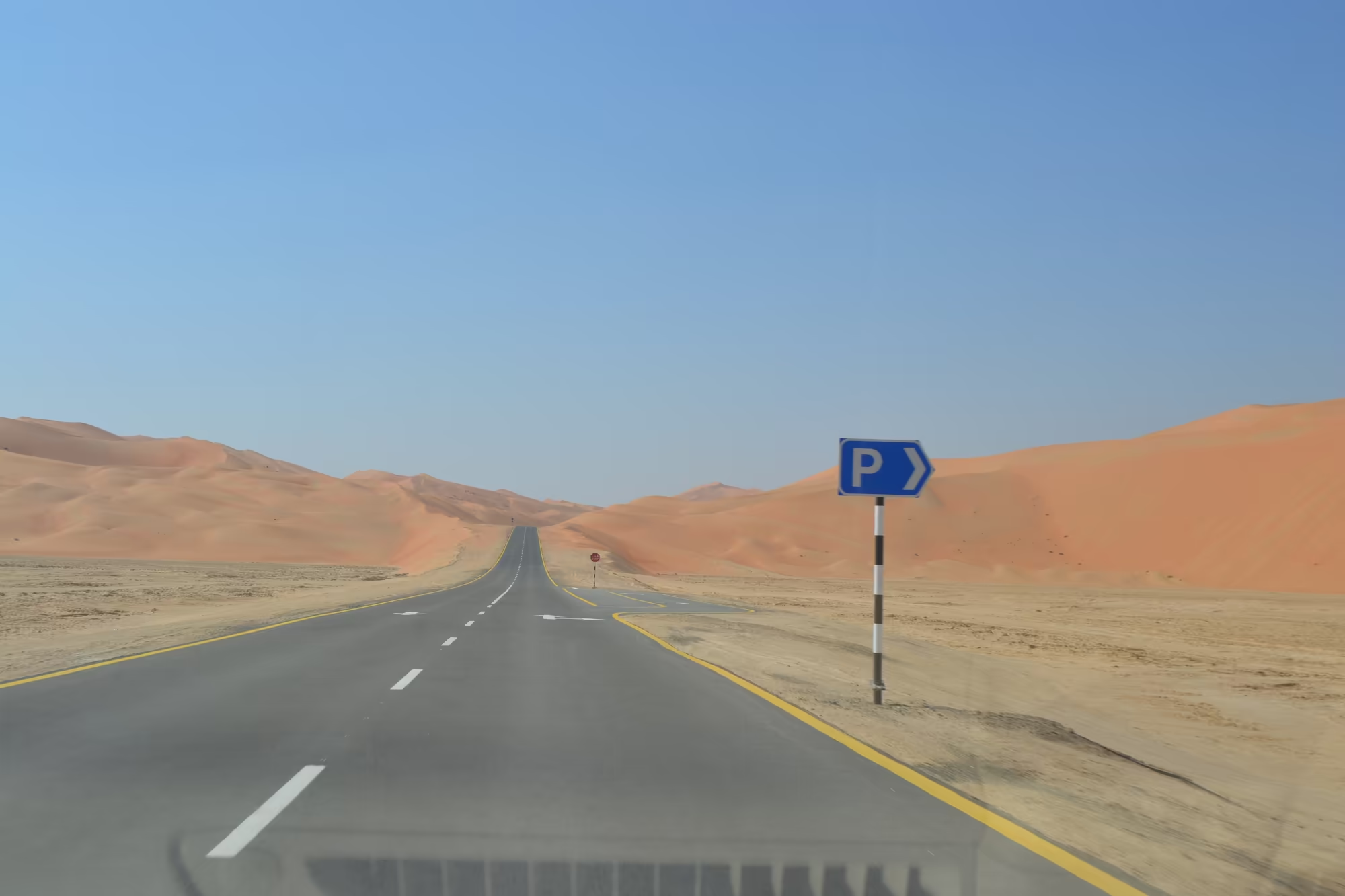
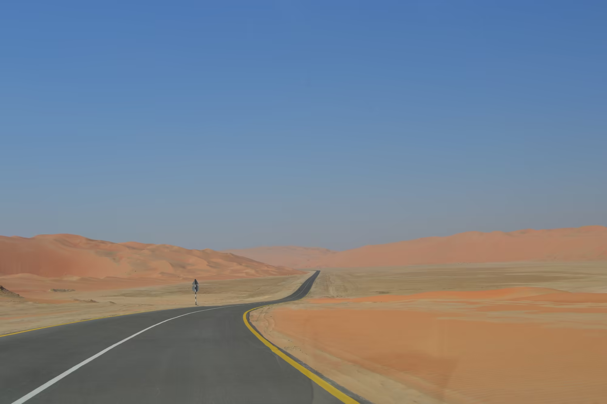
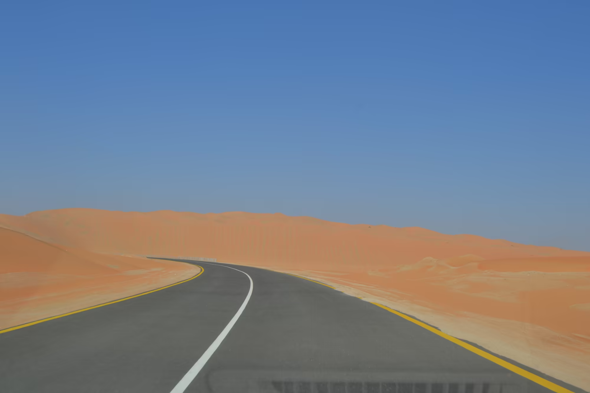
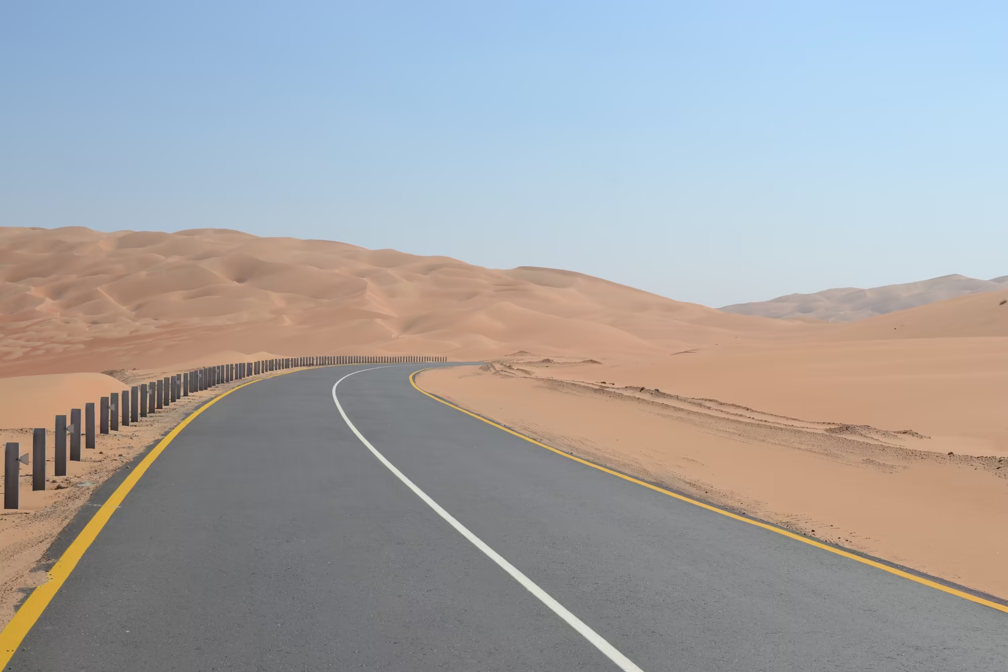
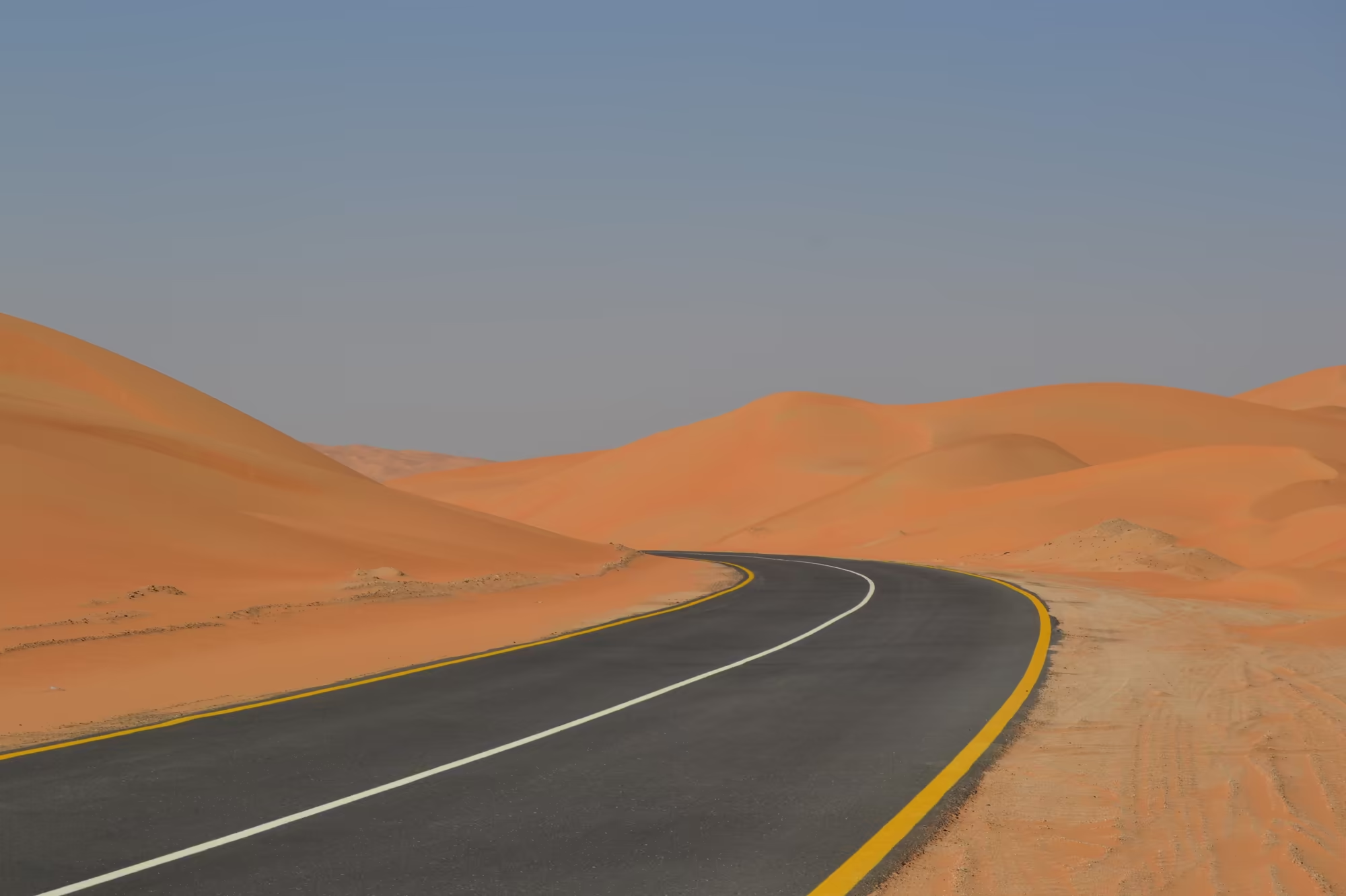
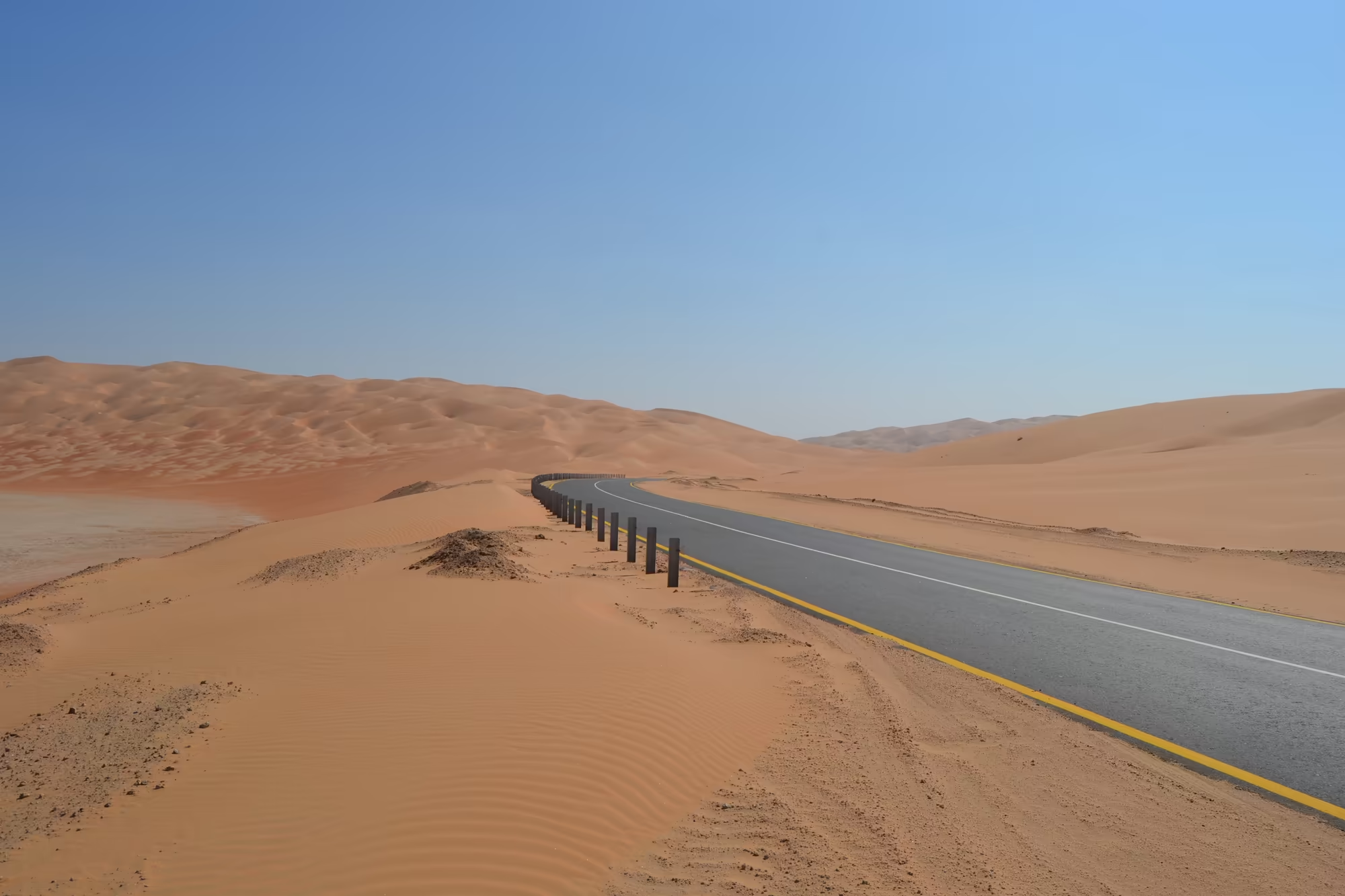
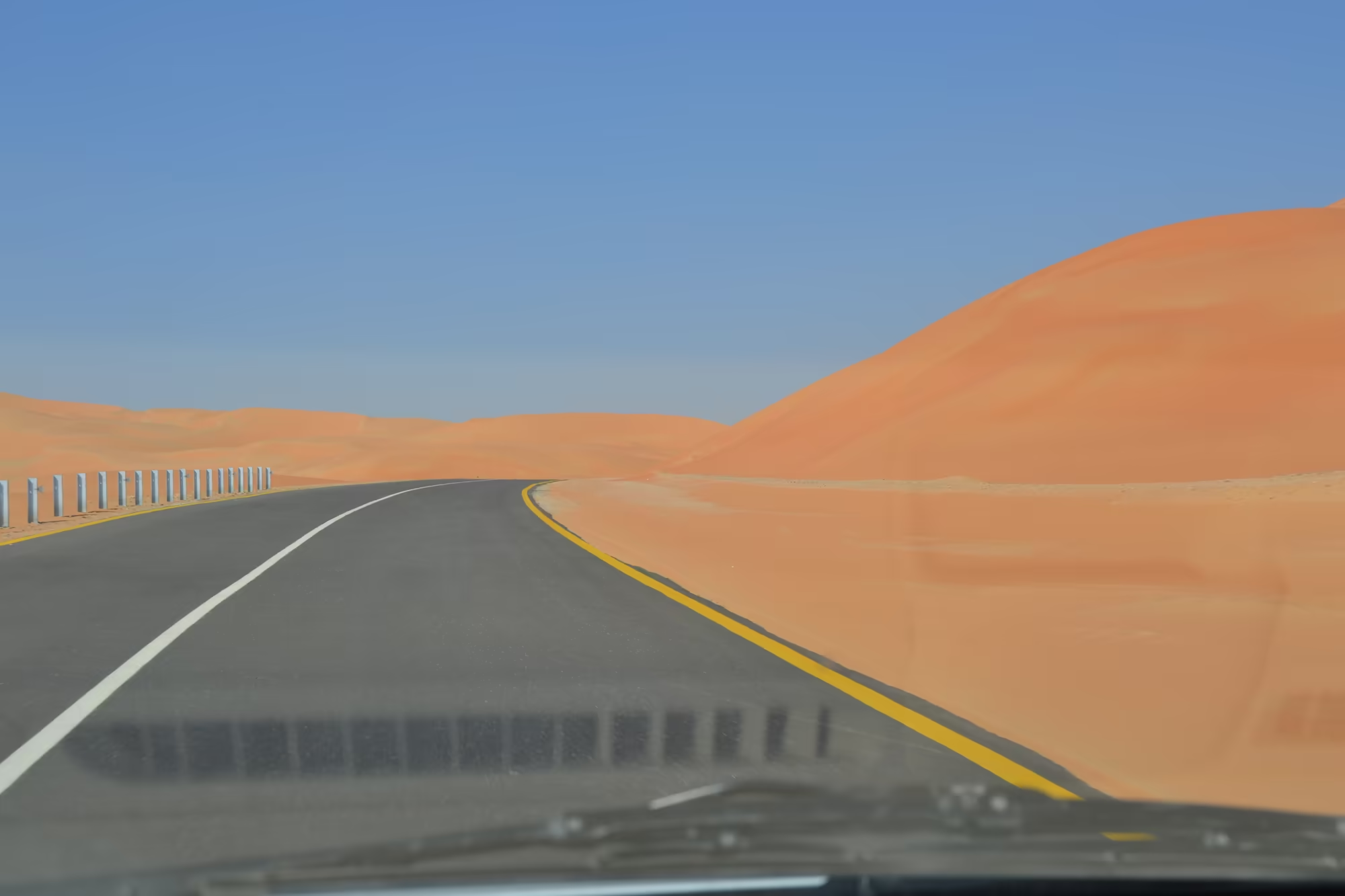
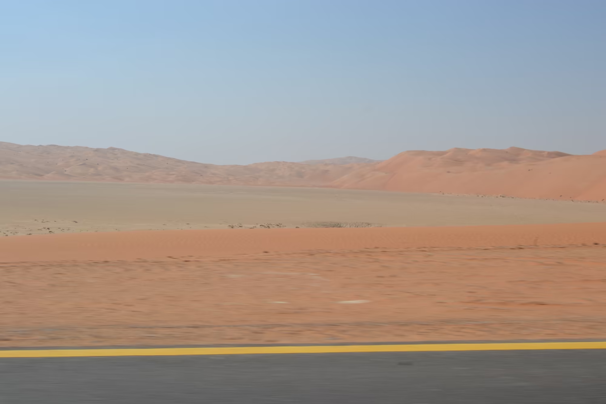
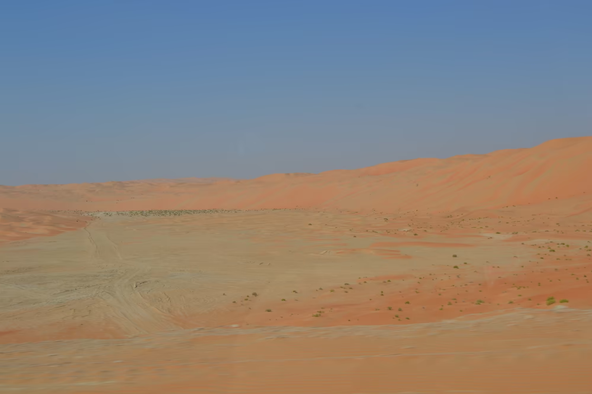
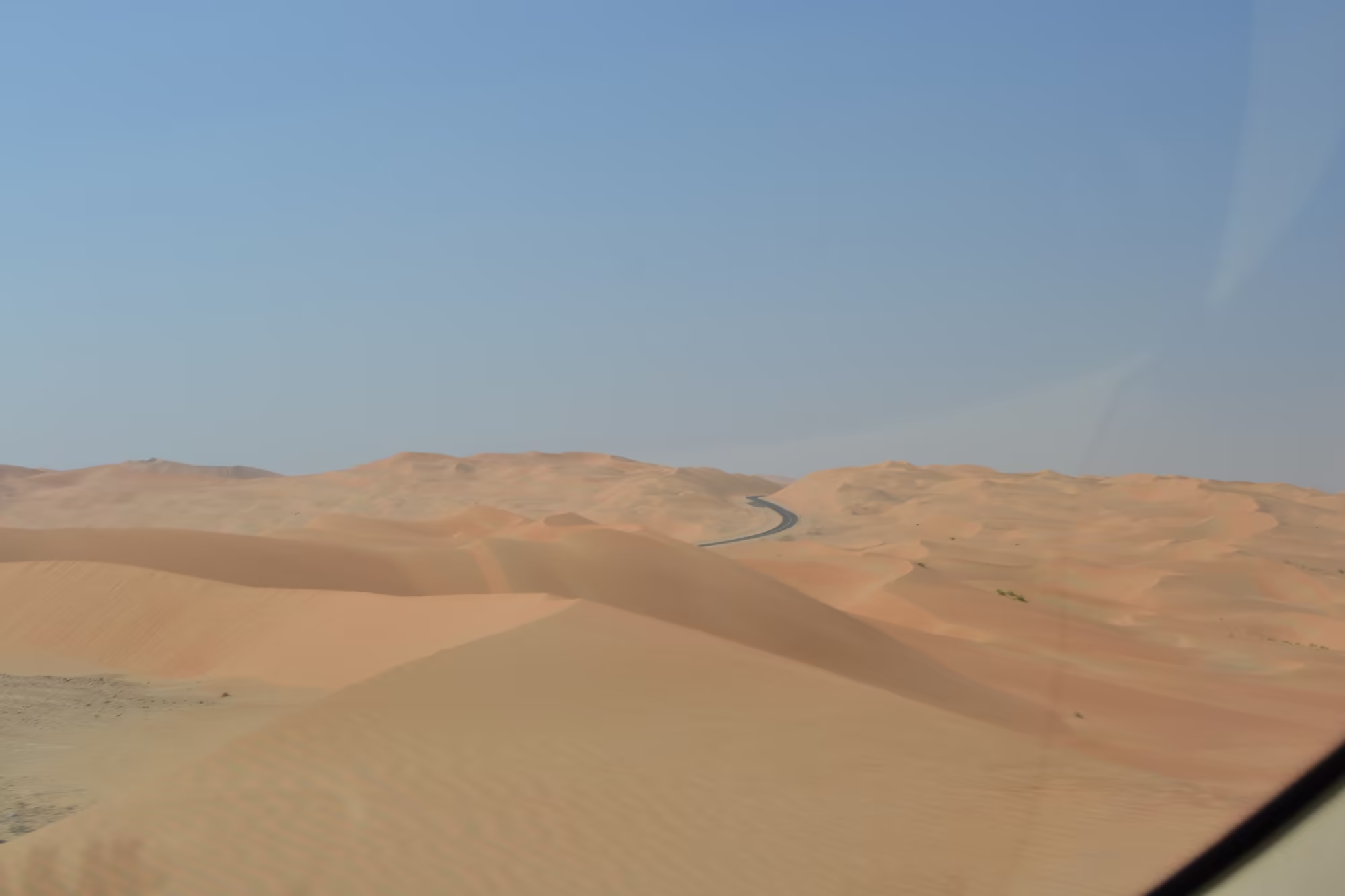
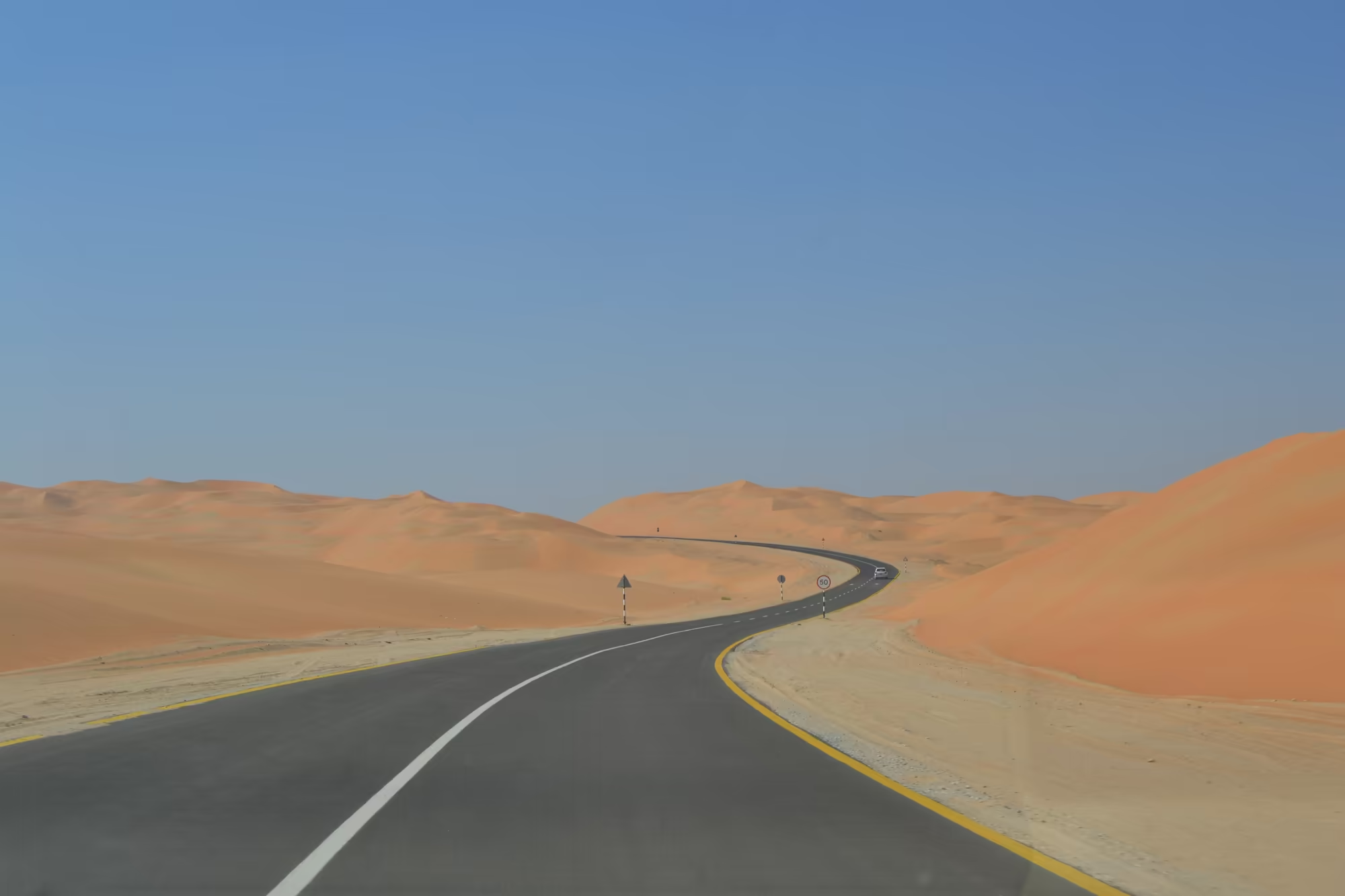
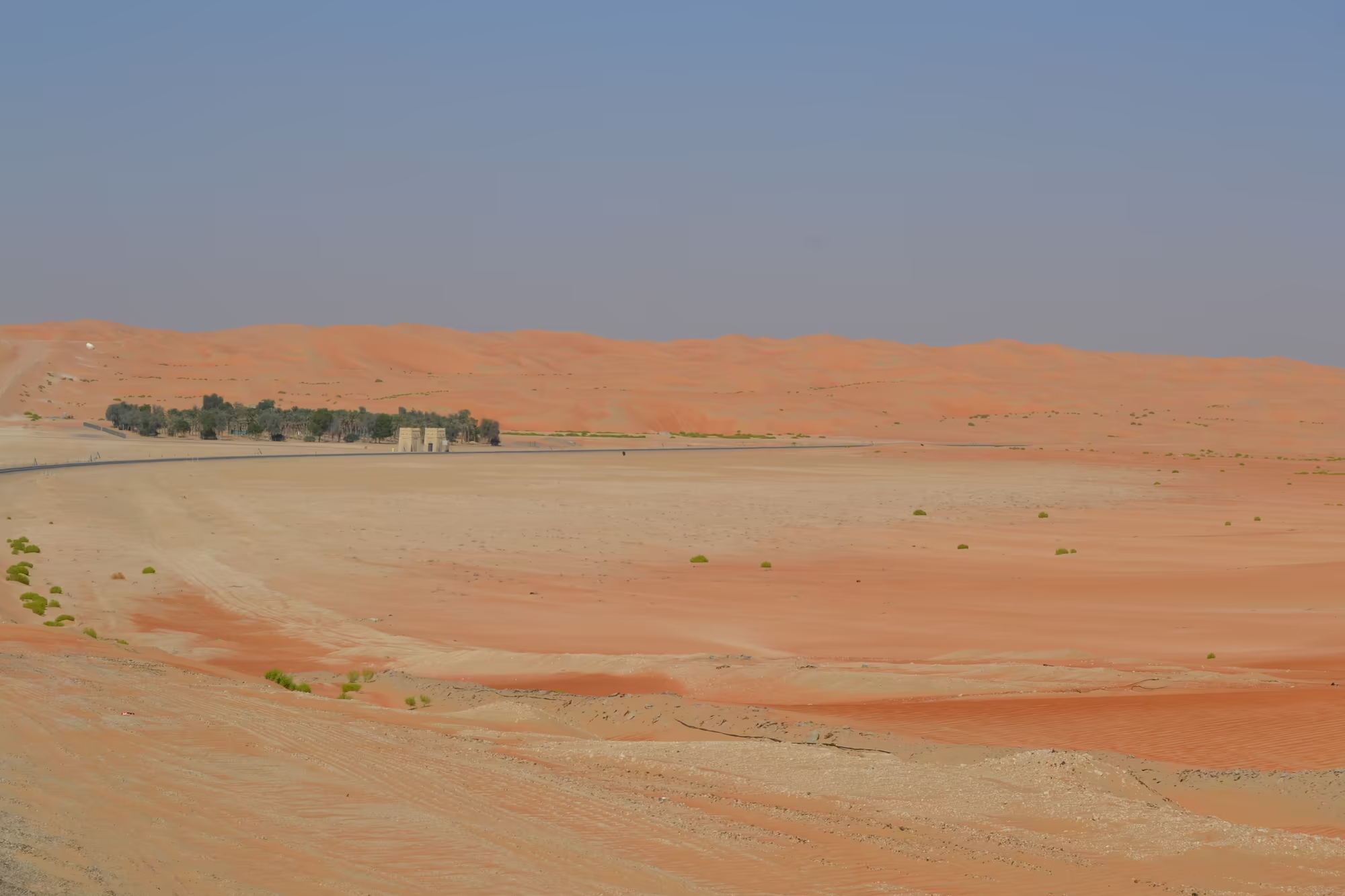
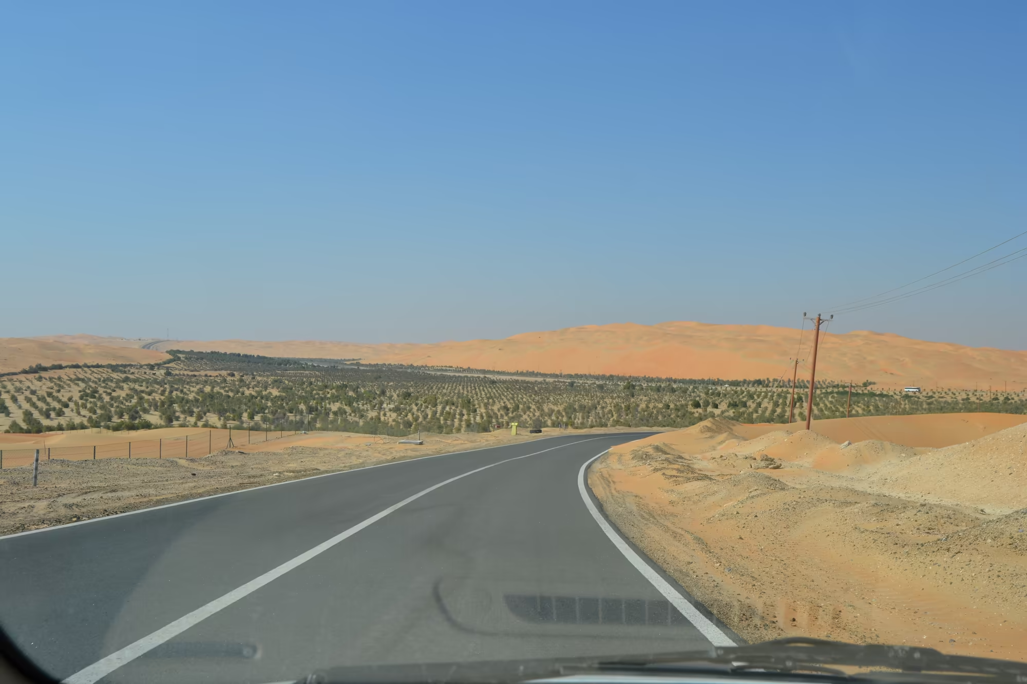
The route leaves the city on a multi lane highway and heads south west across a plain that grows emptier by the kilometre. There are signs to Al Qua’a, to Um El Zumool and to Abu Dhabi, and there are long stretches in which the only structures are an electricity pylon, a fence, and the corrugated containers and water tanks of a road maintenance outpost. Then the dunes begin: at first a low ridge on the horizon, then a wall of red orange sand standing directly beside the tarmac, with the road doing what the sand allows it to do, curving and climbing and descending through the dune field.
The destination was the oasis of Liwa, the largest settlement on the northern side of the Empty Quarter. Liwa lies about ninety eight kilometres south of the Gulf coast and about a hundred and fifty kilometres south west of the city of Abu Dhabi, and it stretches some hundred kilometres from east to west along an arc that curves to the north, made up of about fifty villages, with the centre of the oasis at Muzayri. It is the last green place before the sand sea begins, and the road from the coast runs the length of the arc with the dunes always on the left hand side.
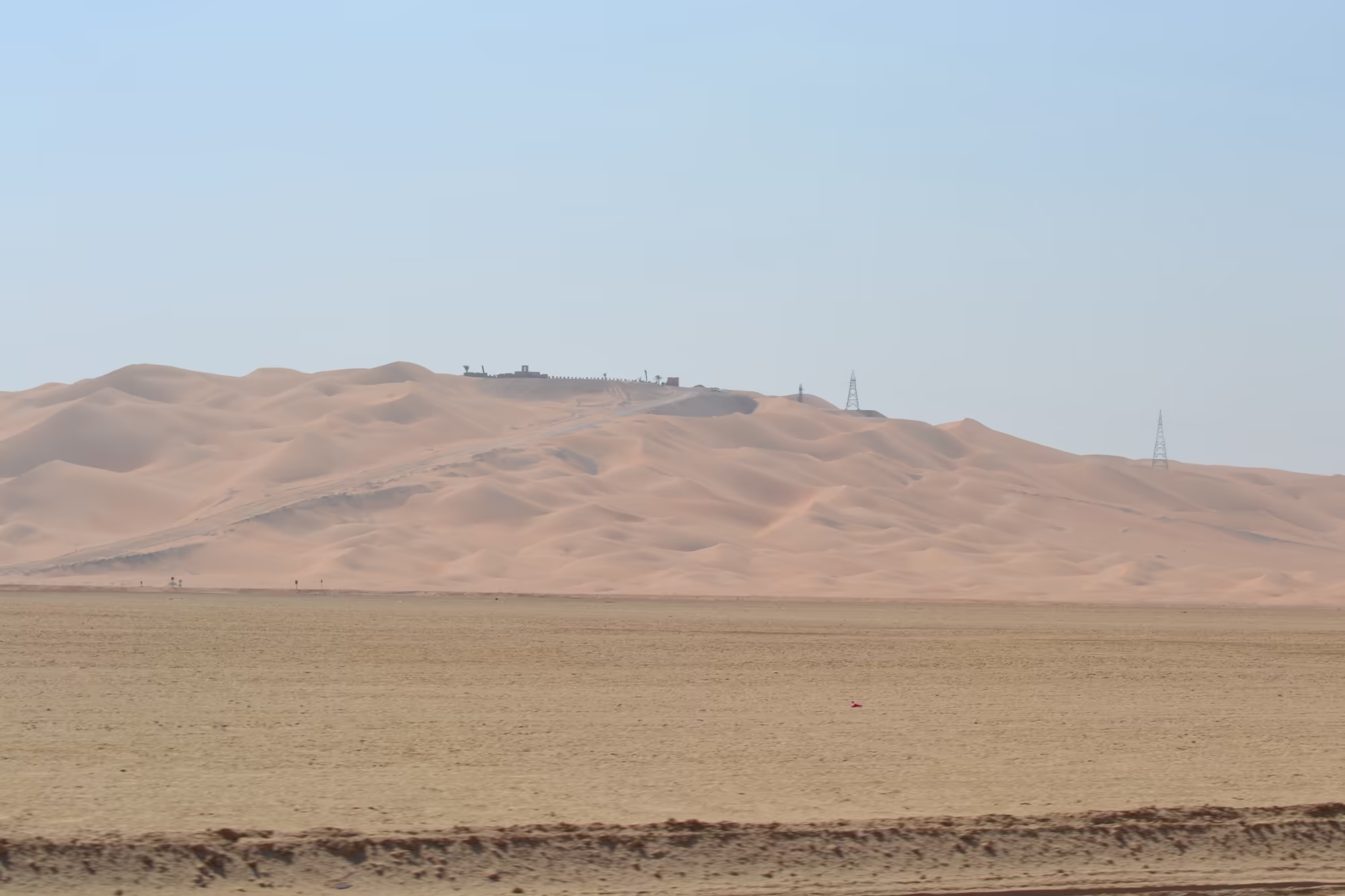
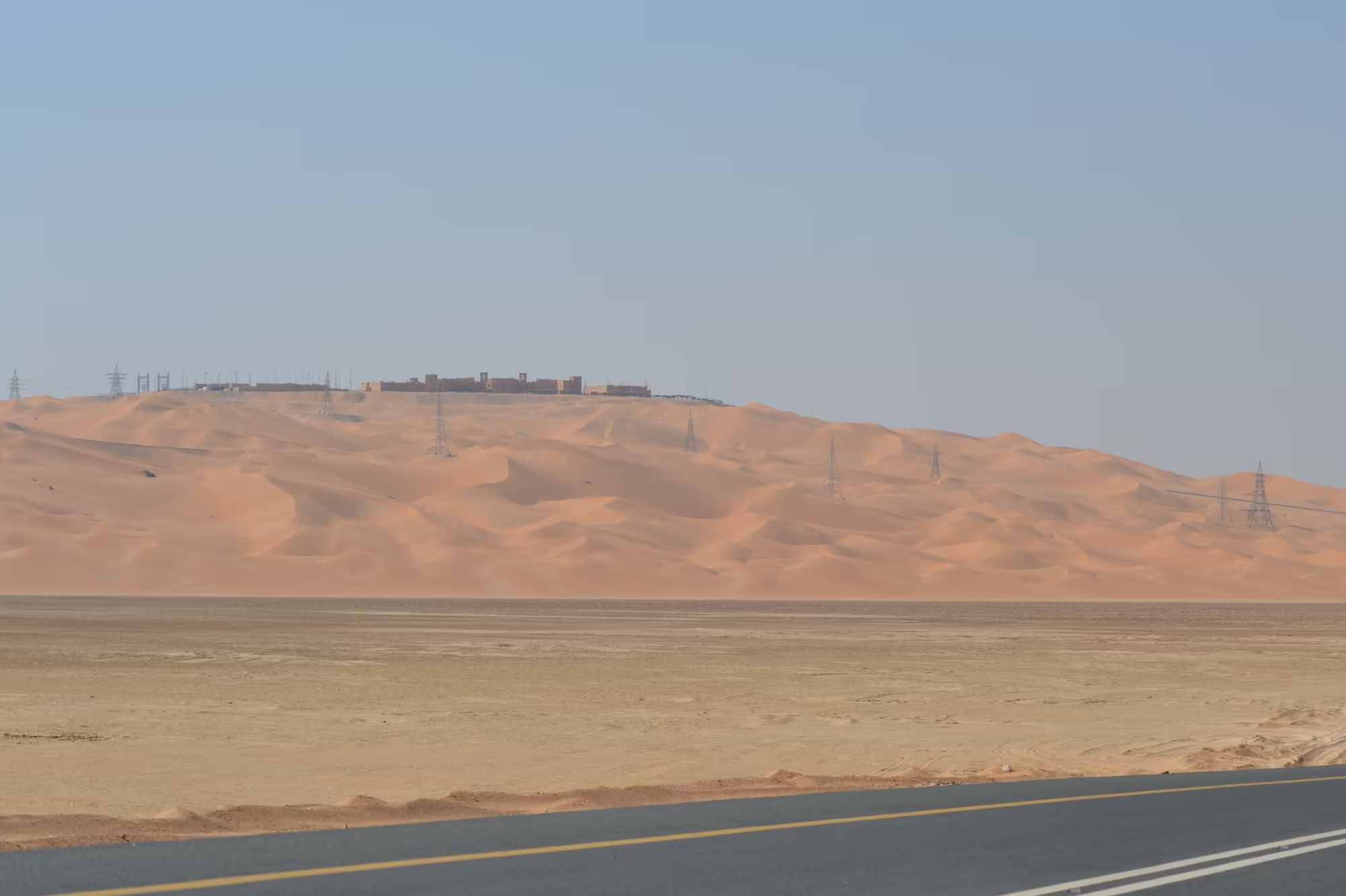
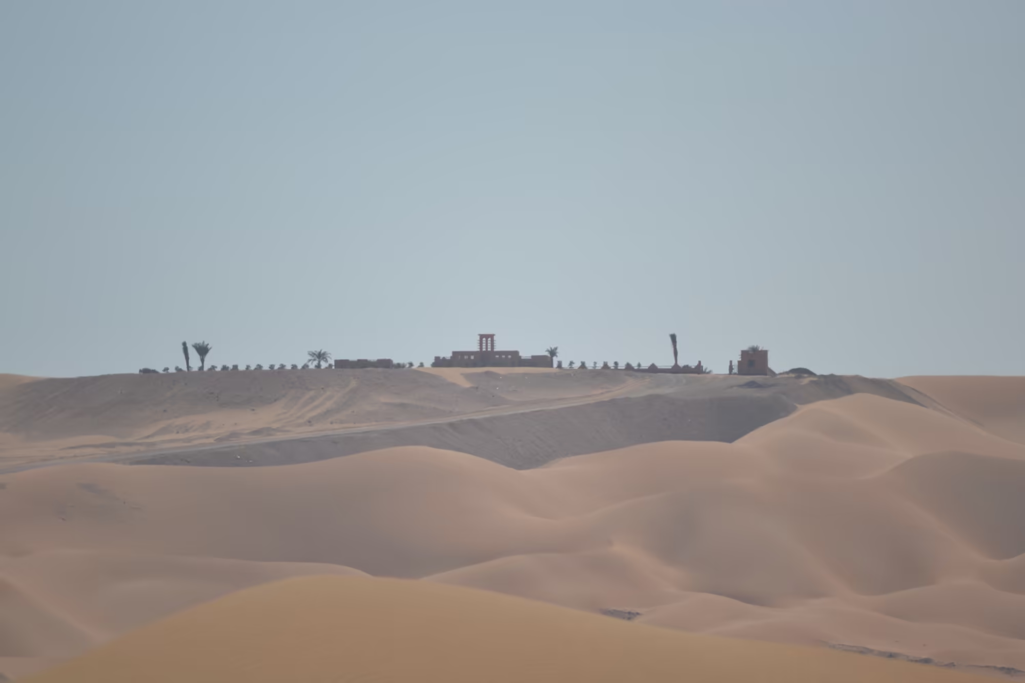
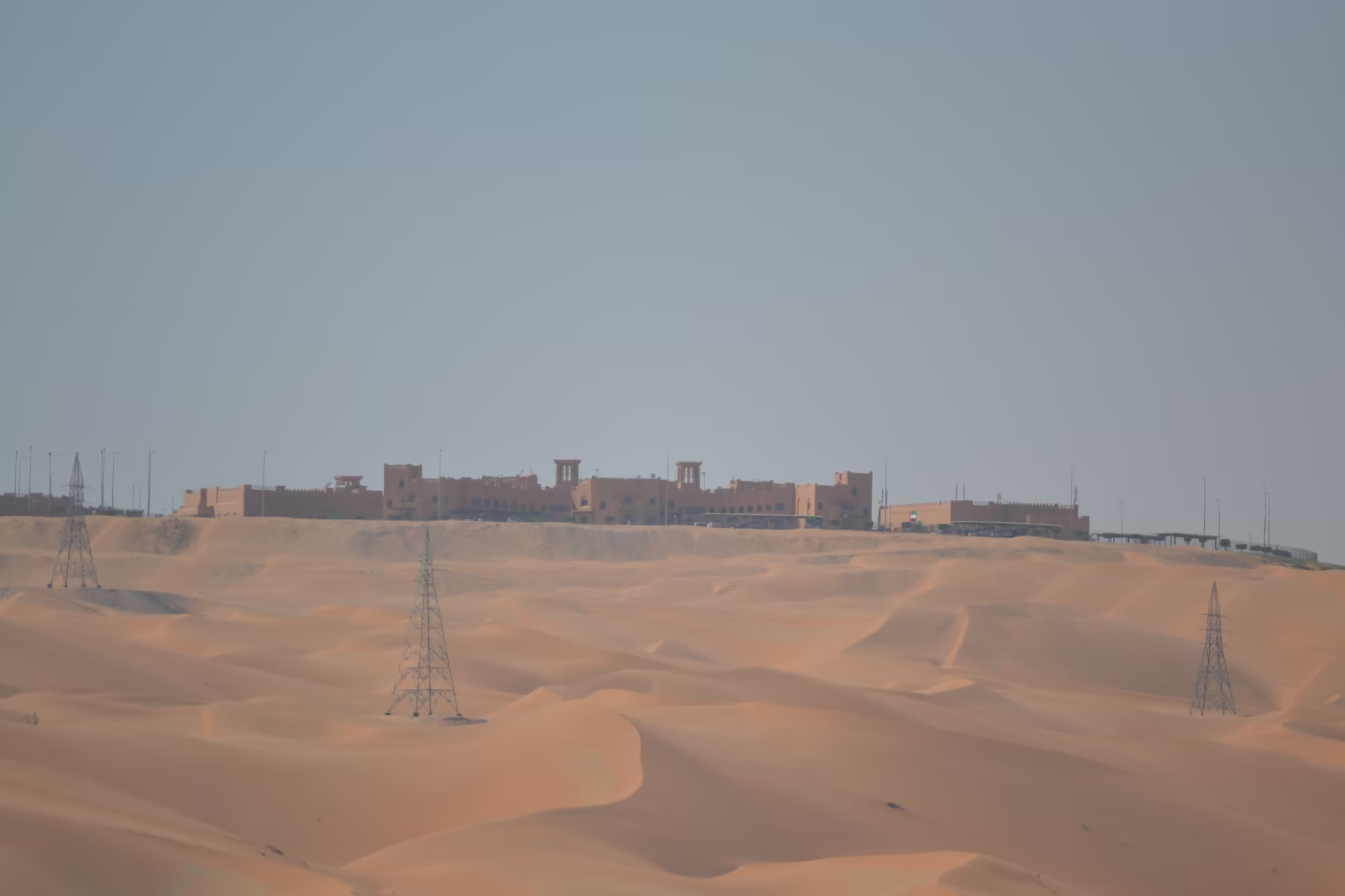
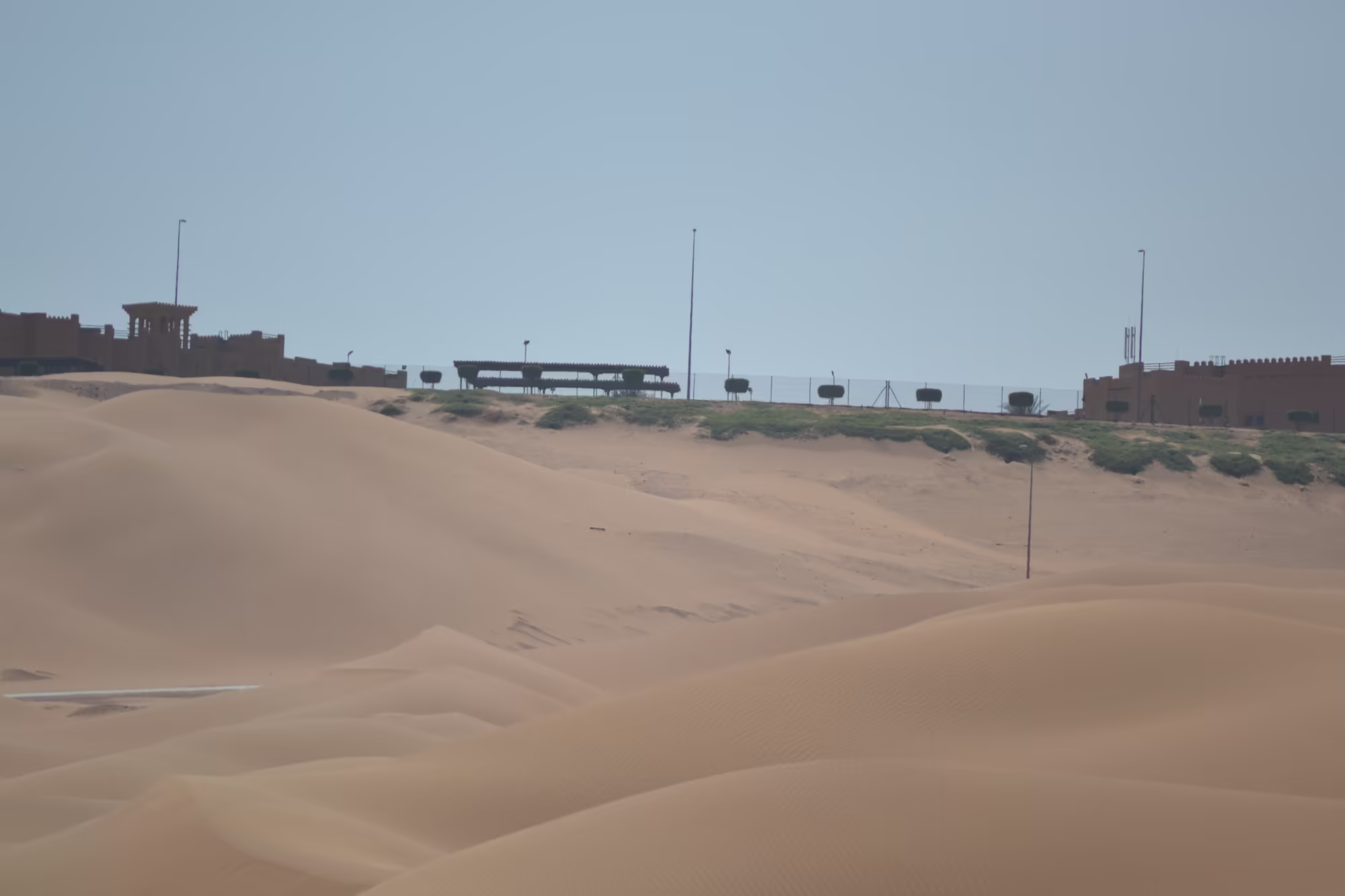
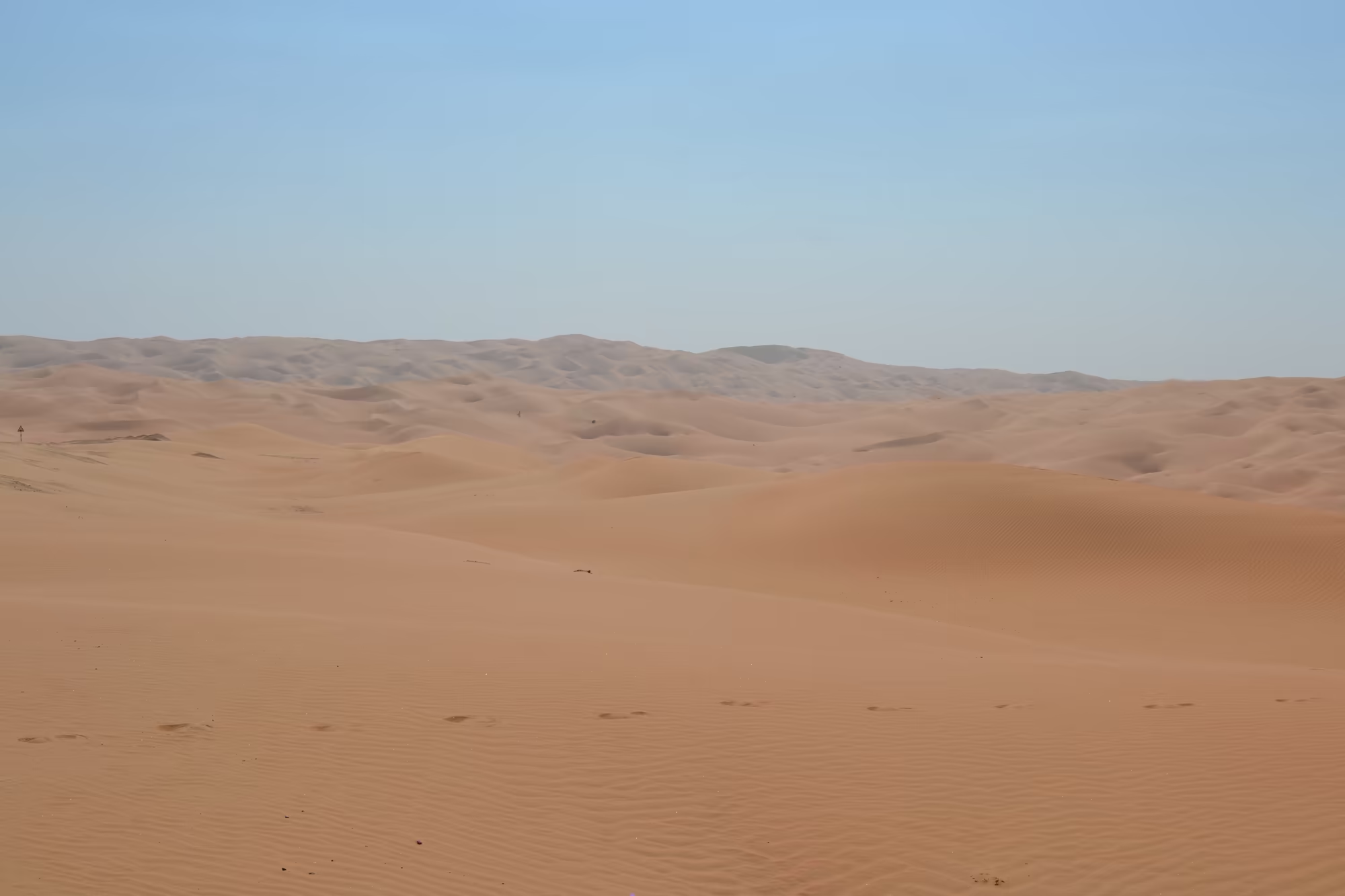
The day ended on a dune ridge above one of the oases, at a camp built in the shape of a fort, with crenellated walls, towers and a courtyard, standing on the crest where the sand meets the planted ground. From the roof, in the last light, the oasis was a dark green band with the dunes rising behind it, and beyond them, for hundreds of kilometres, the Empty Quarter. The name is no exaggeration. It is the largest continuous body of sand in the world outside the Sahara, and from the top of a dune in the evening it looks exactly like what it is called.
History
The Empty Quarter has been inhabited, sparsely, for as long as there has been anyone to inhabit it. Its people belong to a number of tribes whose territories meet in the sand, among them the Al Murrah, with the largest area, and the Banu Yam and Banu Hamdan in the south, while in the United Arab Emirates the Bani Yas, the tribe of the ruling families of Abu Dhabi and Dubai, had their summer settlements on the northern edge of the desert and their grazing in the interior. A few road links now connect these settlements to the oilfields and the water sources that keep them going.
Before the sand made the crossing impossible, there was trade through it. Caravans carrying frankincense from the south of Arabia crossed what are now impassable stretches of the Rub’ al Khali on their way north, until about the year 300. The desertification that closed the routes has been going on for millennia, and the last traces of that trade survive in a form nobody expected: camel tracks invisible on the ground still appear in satellite images.
The first non residents to cross the desert deliberately were British explorers in the early 1930s. Bertram Thomas and St John Philby both made documented journeys into it and Philby crossed it, and their accounts created the image of the Empty Quarter as the last blank space on the map of Arabia. It was Wilfred Thesiger, however, who made the place his own. Between 1946 and 1950 he crossed the desert several times with Bedouin companions, mapping large parts of it and travelling in the manner of the people he travelled with, and his book Arabian Sands, published in 1959, remains the classic account of the region.
Thesiger’s first camel expedition had left Salalah in Dhofar in October 1945 and reached Tarim in the Hadhramaut in February 1946. His first large crossing began in October 1946, again from Salalah, with a party of Bedu who were not all willing to continue, and it is from these journeys that the modern knowledge of the interior comes. In June 1950 a United States Air Force expedition crossed the desert from Dhahran to central Yemen with the support of the Smithsonian Institution, testing desert survival procedures as much as it explored, and the crossings have continued ever since, on camel, on foot and with vehicles, among them an on foot crossing from Salalah to Liwa in 2013 and further expeditions in 2020 and 2023.
Liwa itself is the oldest continuously inhabited place in the story, and its history is the history of water rather than of sand. The oasis lives from the aquifer beneath the dunes and from the date palm, which tolerates salt, shade and heat and produces a crop that can be stored for years. The villages are built where the water is closest to the surface, and the older parts of them are still made of the mud and stone of the plain, with watchtowers and forts of the kind that a settlement on the edge of tribal territory needed. In the twentieth century the oasis became the heartland of the Bani Yas and then, with the roads and the oil money, a place within reach of a weekend, and the camps and hotels that now stand on the dune ridges above the palm gardens are the newest layer of a settlement pattern that is thousands of years old.
Geology
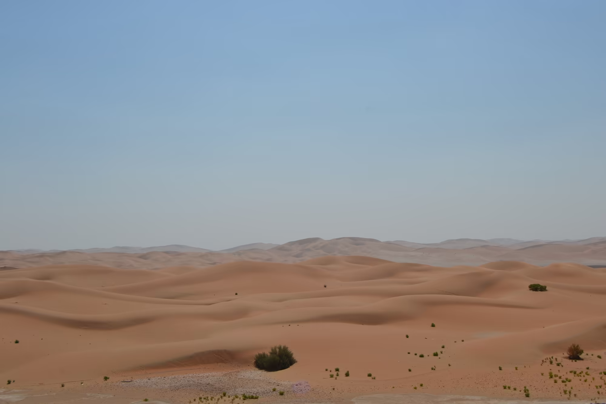
The Rub’ al Khali is a desert covering most of the southern third of the Arabian Peninsula, spread across parts of Saudi Arabia, Oman, the United Arab Emirates and Yemen, and it is part of the larger Arabian Desert. Its extent is about 650,000 square kilometres, which places it among the largest sand deserts on earth, and it measures roughly a thousand kilometres from north east to south west and five hundred kilometres across. The surface falls from about eight hundred metres in the south west to near sea level in the north east, and most of it consists of ergs, fields of sand dunes that reach two hundred and fifty metres in height, with plains of gravel and gypsum between them.
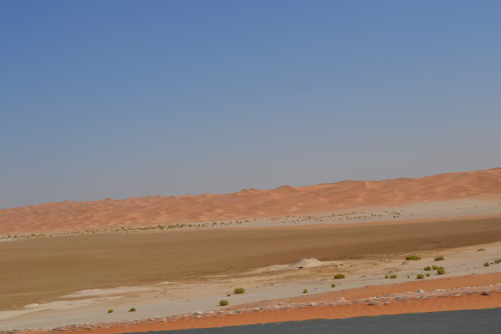
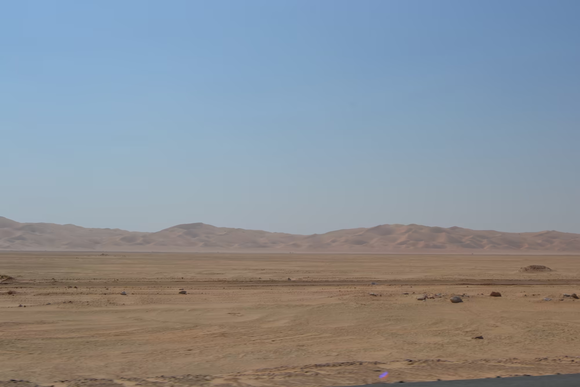
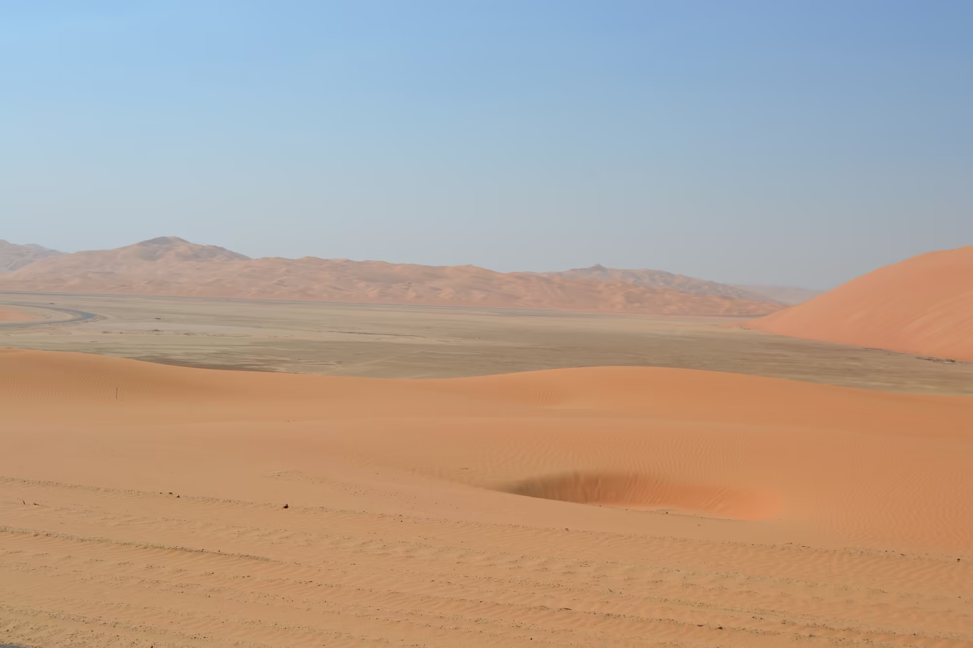
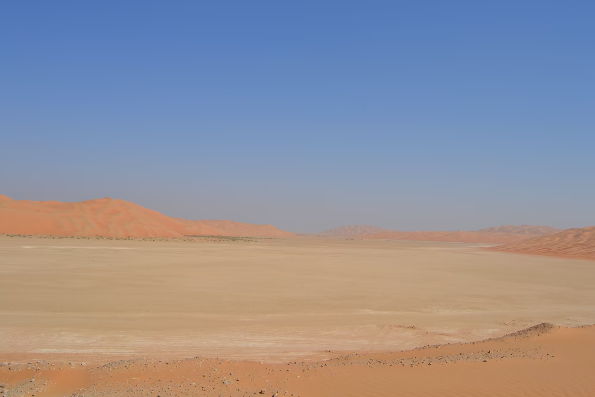
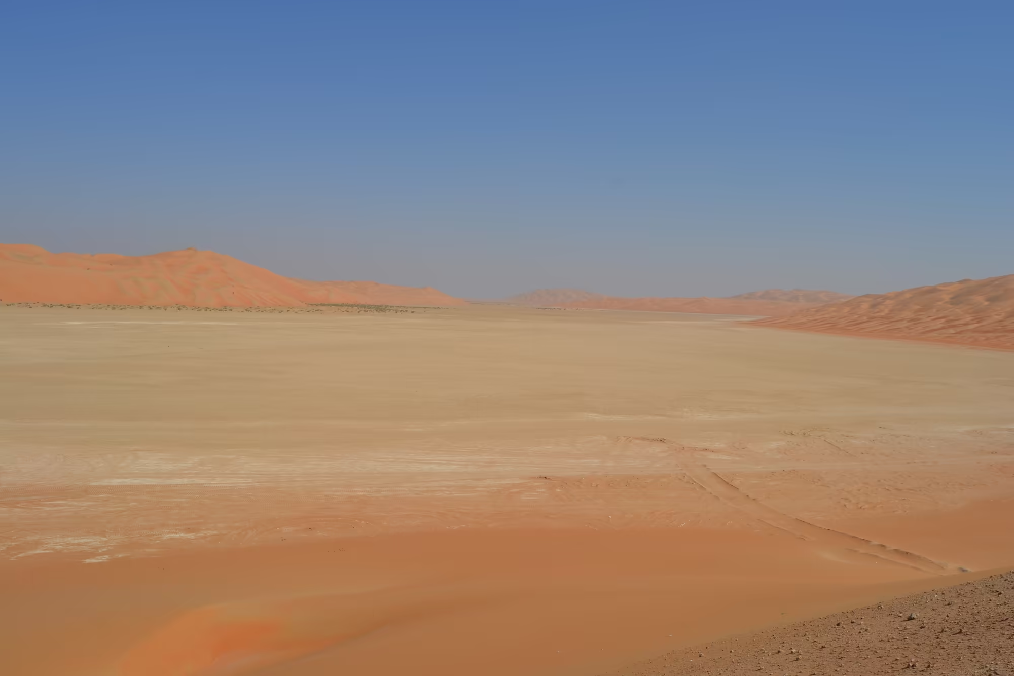
The sand itself is the reason the dunes have the colour they do. It is reddish orange, and the colour comes from feldspar in the grains, a mineral that survives weathering better than the darker constituents of the original rock. The dunes are not travelling in the way that dunes in a film travel. Sand blows from the surface constantly, and the ripples on a dune face change with every wind, but the shape of the large dunes remains remarkably stable, most probably because moisture drawn up from the surrounding salt flats into their base holds the sand in place. Those salt flats, the sabkha, appear in the east of the desert as brackish pans, among them Umm al Samim, and they are the boundary of the sand sea on that side.
Between the dunes there is more than sand. Along the middle of the desert lie raised, hardened patches of calcium carbonate, gypsum, marl and clay that were once the beds of shallow lakes, and the dating of them gives the recent climatic history of Arabia: they existed in periods about six thousand to five thousand years ago and again about three thousand to two thousand years ago, and they are thought to have formed during spells of cataclysmic rainfall similar to present day monsoon rains, most of them lasting only a few years. In the Mundafen area in the south west, some of the lakes lasted much longer. Chipped flint tools show that people were there when the lakes were, although no human remains have been found. The climate now is hyper arid, with annual rainfall generally under fifty millimetres and mean daily relative humidity falling from about fifty two per cent in January to fifteen per cent in June and July.
The dunes record the wind of the past as well as the present. In the Miocene Shuwaihat Formation of Abu Dhabi, the fossilised dunes contain a record of the prevailing wind directions at the time of their deposition, which is how the ancient wind pattern of the region has been reconstructed.
Water, the thing the desert does not have, is stored below it. The Quaternary sands of the Liwa area form an aquifer of continental and aeolian sands laid down during the wetter phases, holding groundwater that fell as rain tens of thousands of years ago and has not been replaced since at the present rate of rainfall. The oasis is a place where that water comes close enough to the surface to be reached by wells and by falaj channels, and the agricultural fields that appear among the dunes at Liwa are the visible result. The aquifer is also a strategic resource, and the relationship between what is drawn from it and what seeps back into it is a subject of study in its own right.
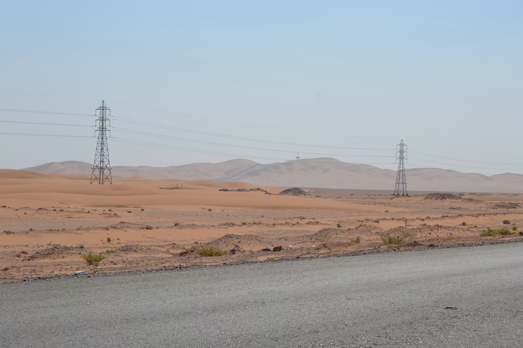
Under all of it lie the rocks that pay for the roads. The Shaybah oil field, discovered in 1968, lies within the Rub’ al Khali, and the South Ghawar field, discovered in 1948 and the largest oil field in the world, extends southwards into the northernmost part of the desert. The petroleum is hosted in the carbonate and sandstone reservoirs of the Arabian shelf, the same sequence that lies beneath the coastal cities hundreds of kilometres to the north east, and the infrastructure of the oil industry, fences, pylons, roads and pipelines, is part of the landscape a traveller drives through.
Wildlife survives in this environment in forms that are adapted to doing without water. The dunes and the gravel plains carry insects, reptiles and small mammals, and the vegetation, where there is any, consists of shrubs and grasses that appear after rain and set seed before it dries. Larger animals have been lost and, in one case, recovered. The Arabian oryx, a white antelope of the desert, was extinct in the wild by the early 1970s, was kept alive in zoos and private reserves, and was reintroduced from 1980. It was classified as endangered in 1986 and, in 2011, became the first animal ever to be moved back from extinct in the wild to vulnerable on the Red List. It is listed in Appendix I of CITES, and the wild population was estimated at about 1,220 individuals in 2016, with six to seven thousand more in captivity. Its activity pattern follows the heat of the day in a way that has been studied in detail, and the herds that now stand beside a desert road at dusk are the result of a programme that took fifty years.
Things to See
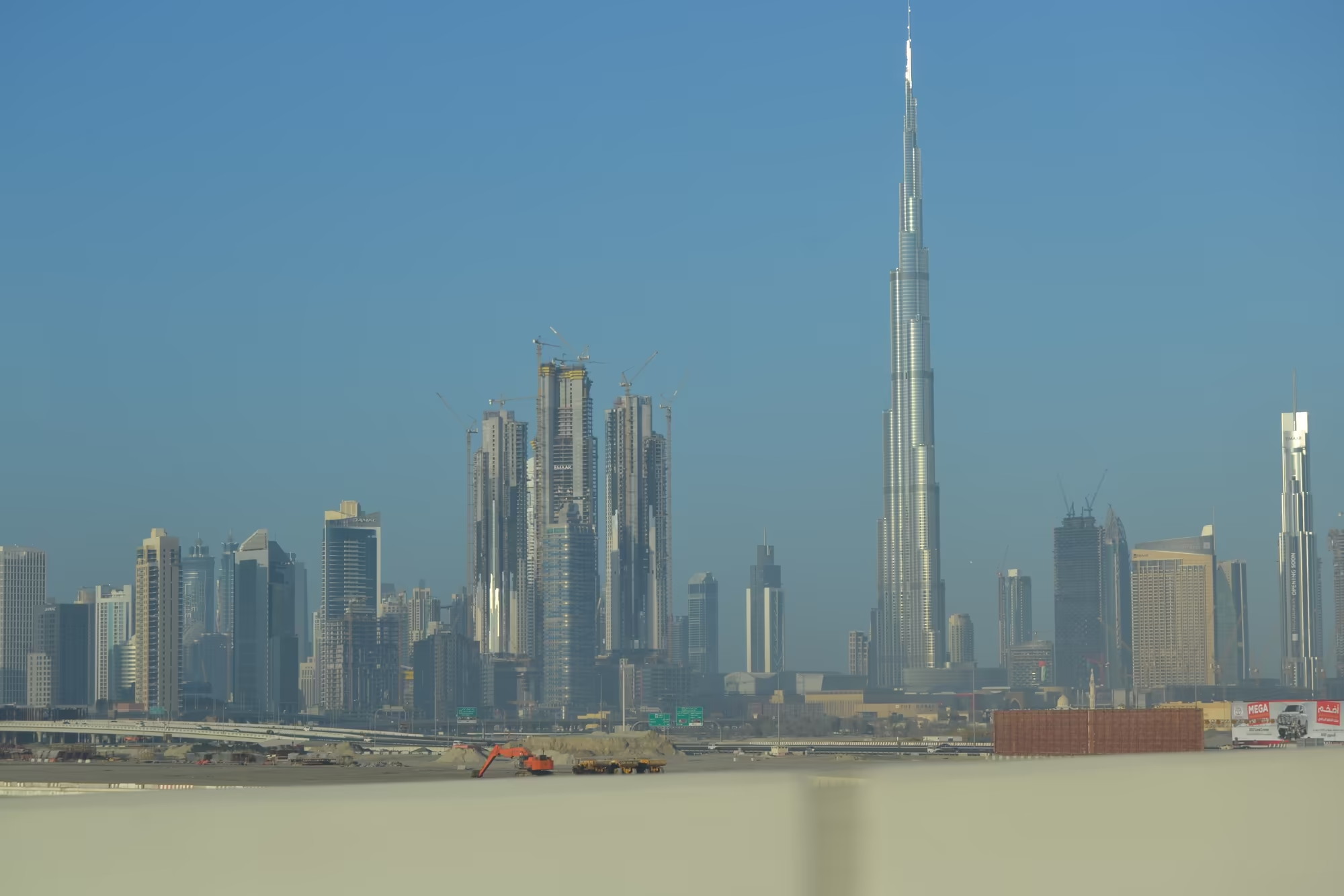
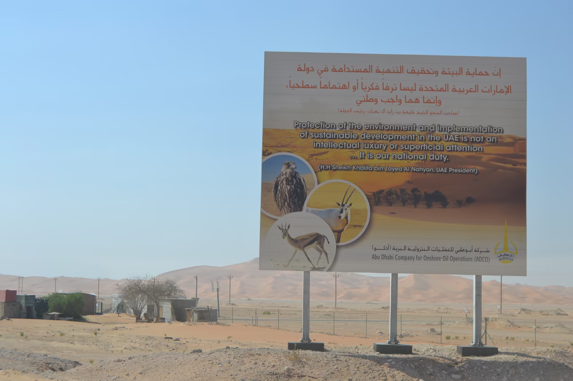
The first sight of the day is the city itself, seen in the mirror on the way out. The highway climbs away from the creek and the bay with the skyline on one side, the Burj Khalifa above everything, and cranes and an excavator still working on the edge of it, because Dubai has not finished building itself and probably never will. Then the towers shrink in the haze, and the last of them disappears behind a billboard about environmental protection that carries a falcon and an Arabian oryx and nothing else that a driver would remember.
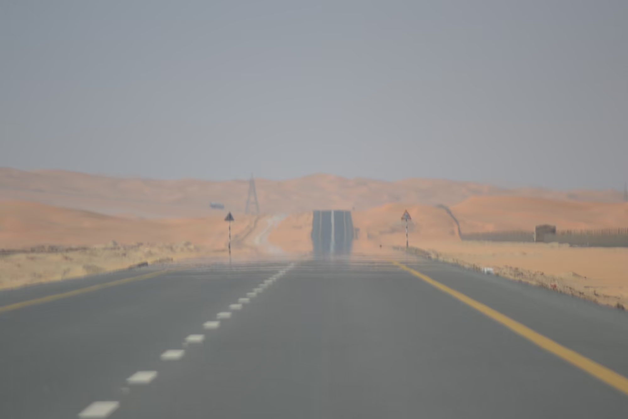
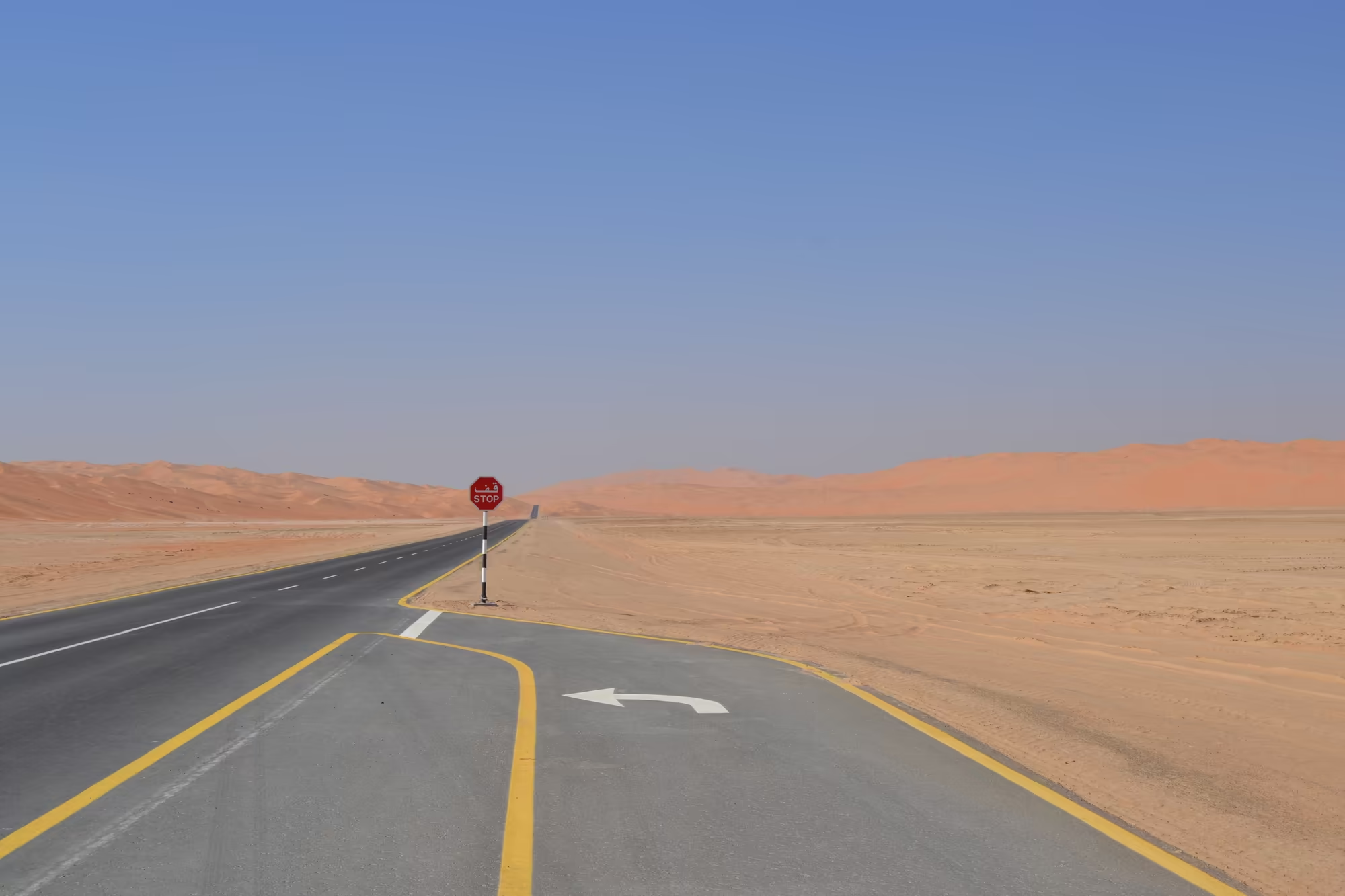
What follows is the road. It runs straight for kilometres at a time between dunes that stand above it on both sides, orange sand with a line of thin green shrub at the base and a fence along the crest, and then it curves, climbs and drops again because a large dune was in the way. Blue signs point to Al Qua’a and Um El Zumool, junction signs order a stop, a speed bump painted yellow and white crosses the lane before a tower, and a half built compound with an antenna mast stands off to the right with nothing else around it for twenty kilometres.
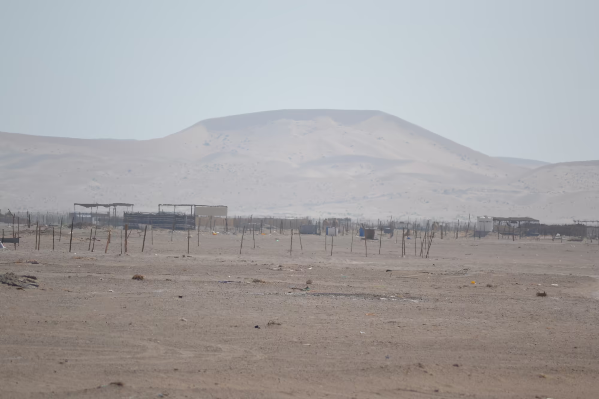
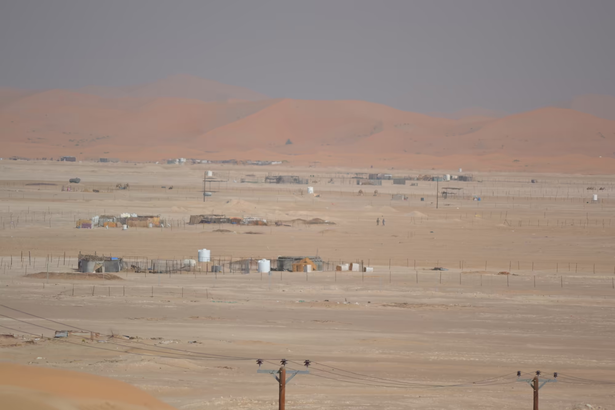
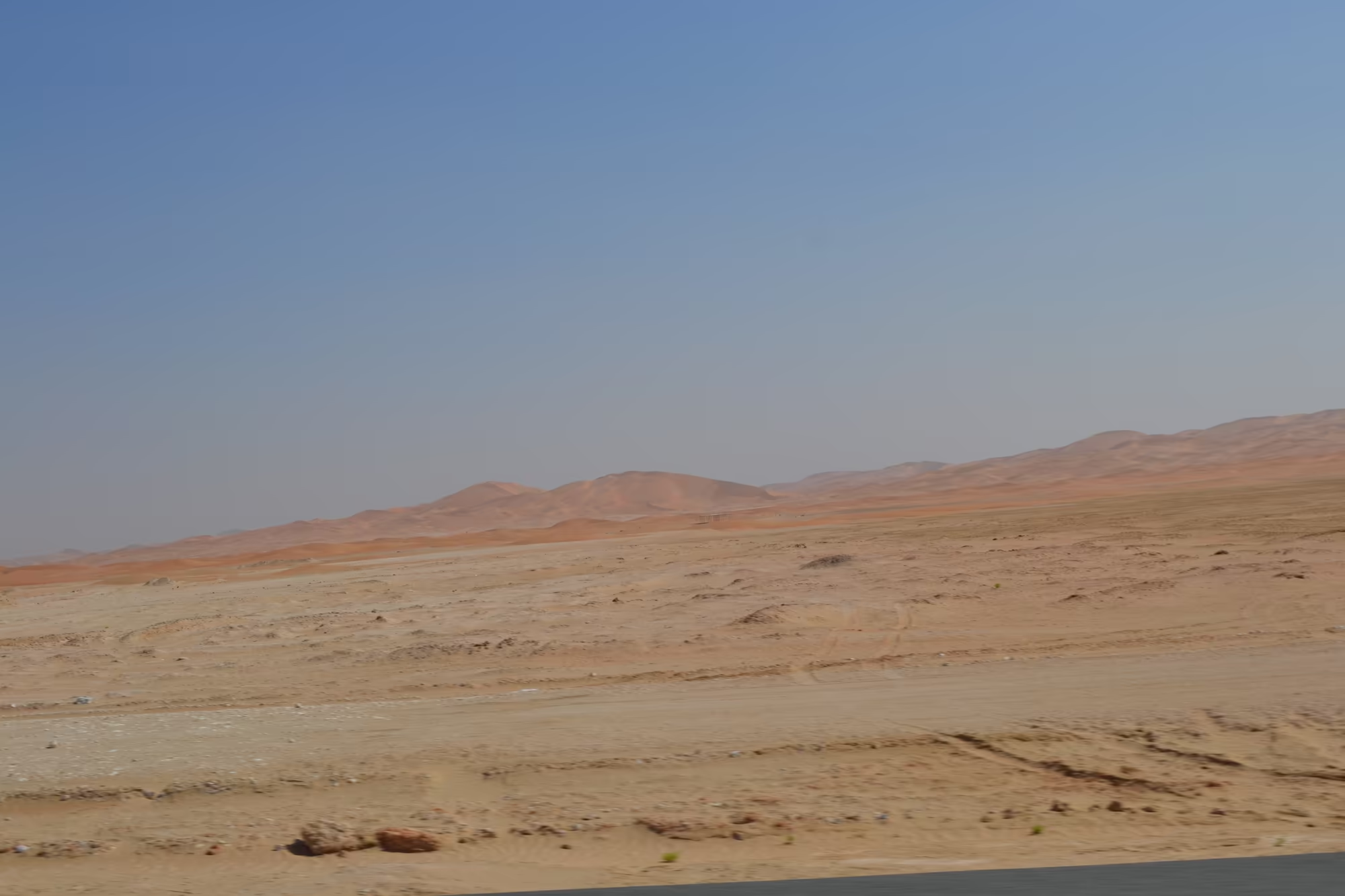
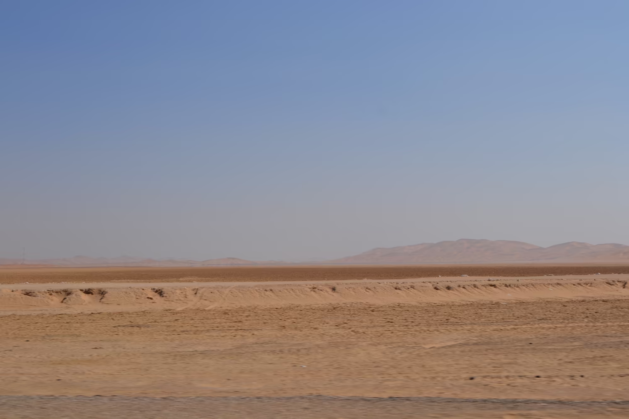
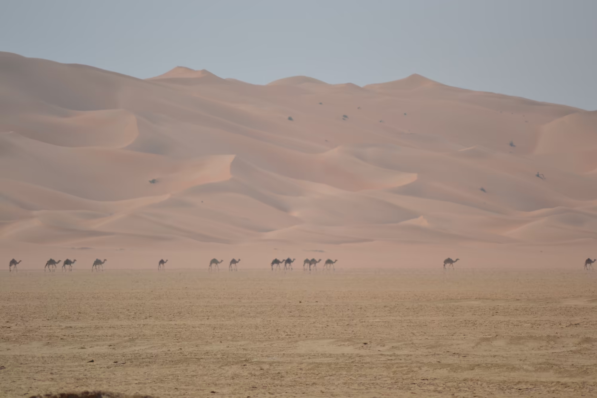
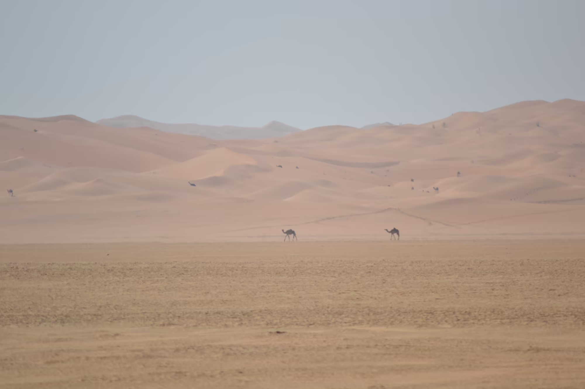
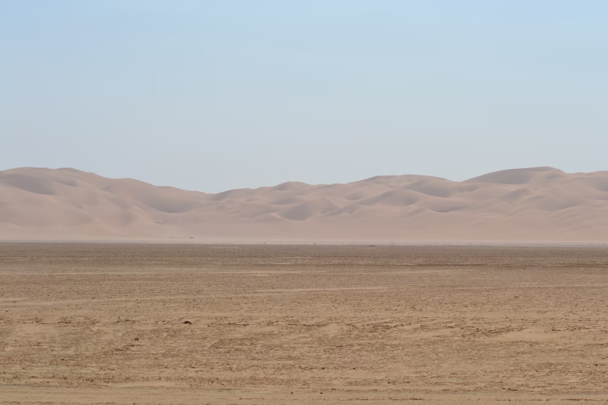
The desert between the dunes has its own detail. A camel farm lies behind wire fencing, with pens of straw shades and blue tarpaulins, and the animals stand on the open plain in front of the red dunes in a caravan of twenty or thirty, walking in a line with the light behind them. A single truck drives away down a straight road towards the horizon. Elsewhere there is a flat topped brown hill above an arid plain, an abandoned concrete building with dark openings and one green tree beside it, and a stretch of salt flat, pale and cracked, crossed by a fence and a power line with the dunes rising behind.
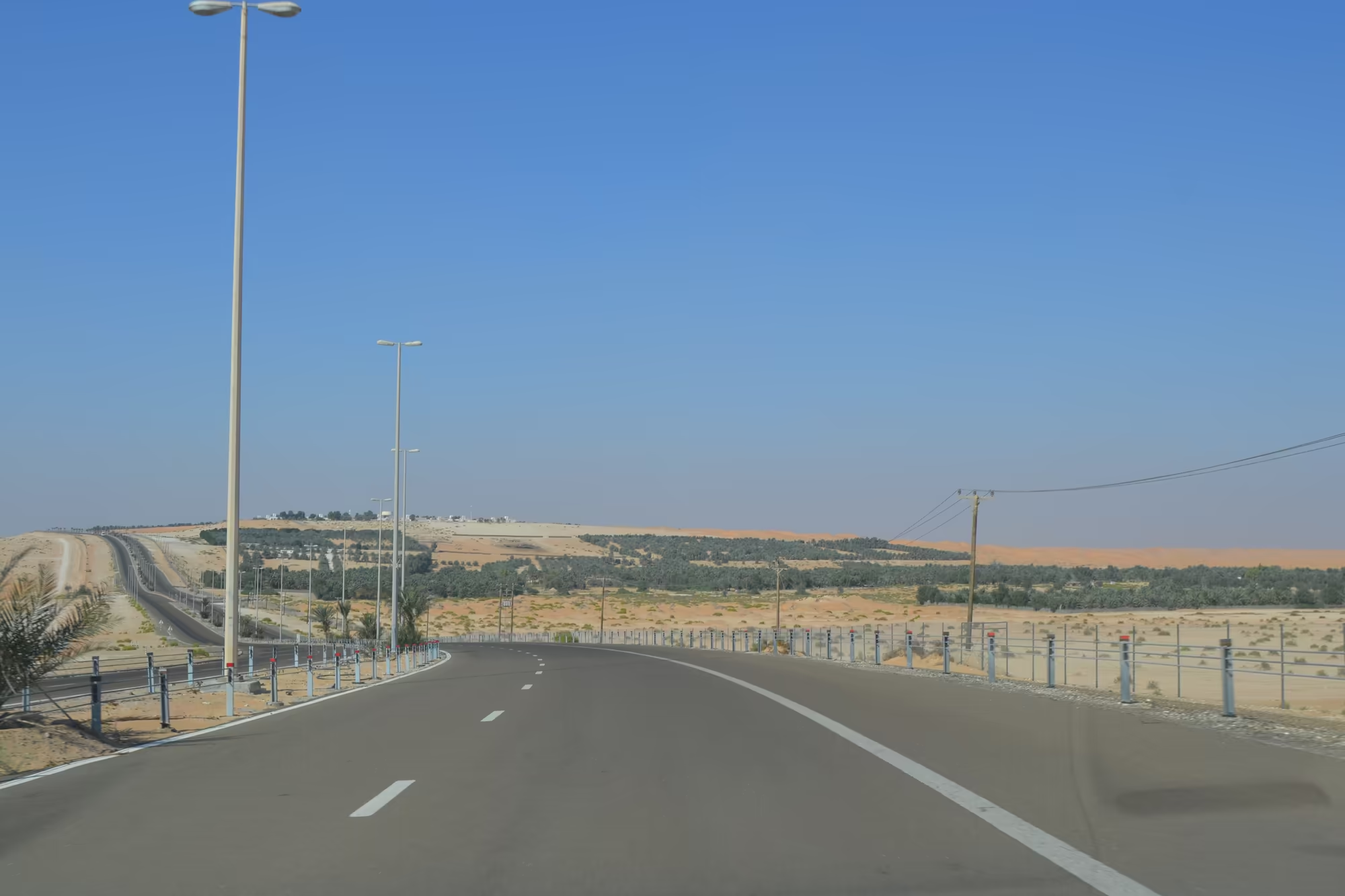
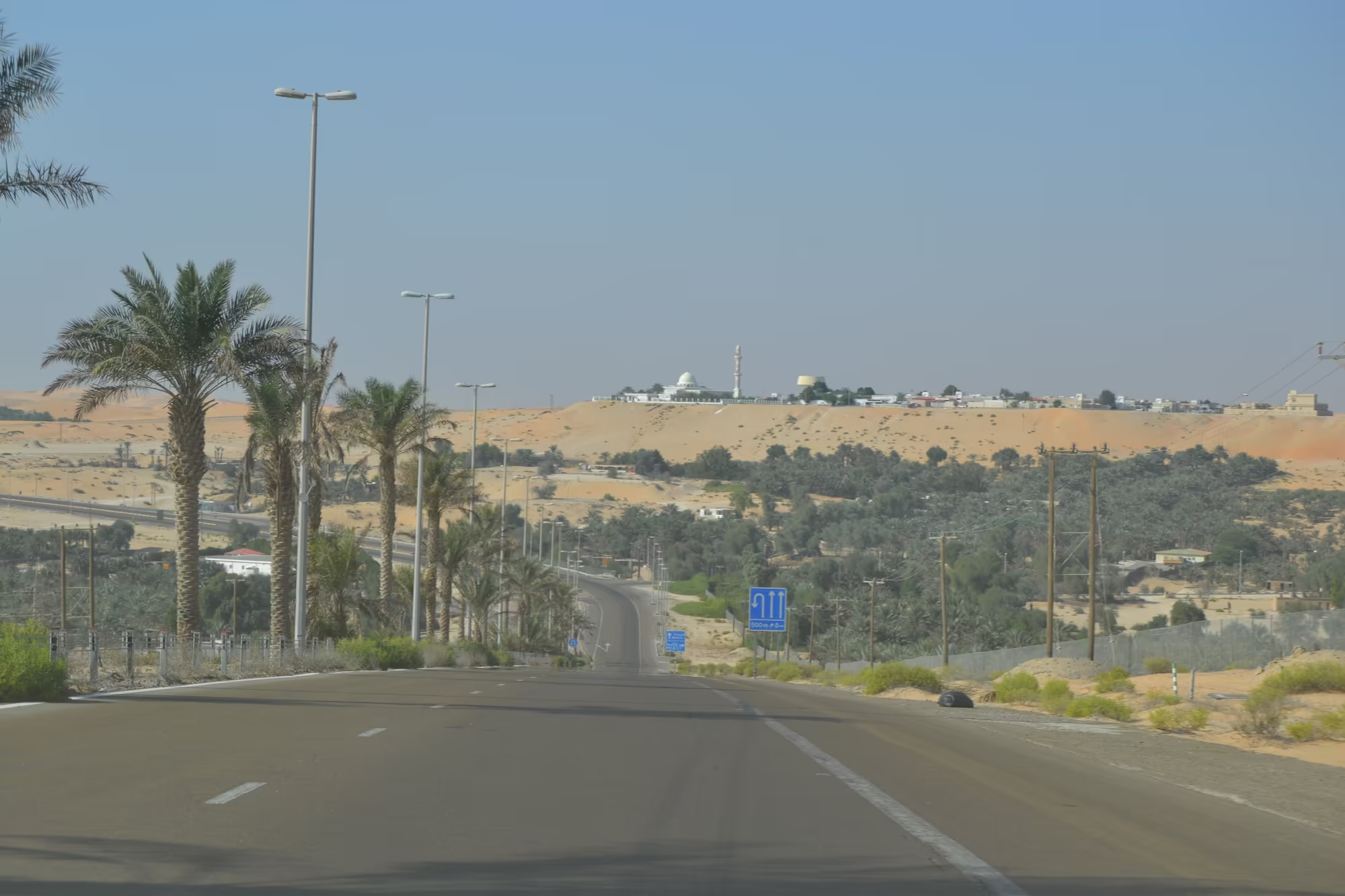
The oasis appears gradually and then all at once. The first sign of it is a palm grove on the horizon and a line of orange dune beyond, then planted fields with green crops under blue plastic mulch, irrigation pipes, and street lamps and traffic signs among the trees. The road runs along the arc of the oasis between the palms and the sand, past a roundabout with a large coffee pot monument, and climbs a ridge to the camp, which stands on the crest with crenellated walls and towers, more fort than hotel from a distance.
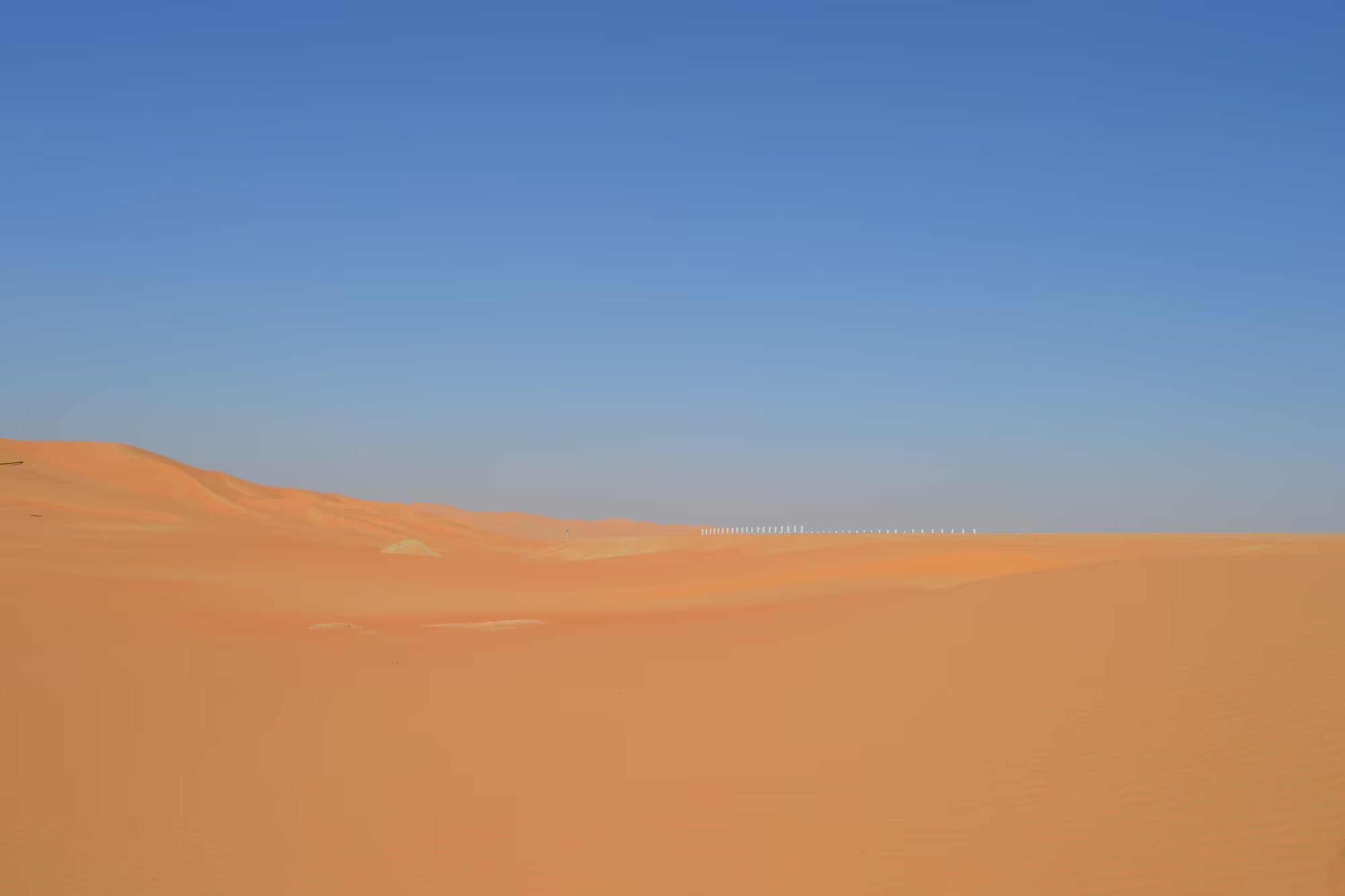
The evening on the dune is the point of the whole day. The sand underfoot is soft and fine and still warm an hour after the sun has gone, the ridges turn from orange to red to grey, and the tracks of a dozen vehicles and a hundred footprints lead down the face of the slope towards the flat ground. A line of white posts marks a fence along the crest, and there is nothing beyond it but more dunes, all the way to the Saudi border and past it. In the last light the oasis below turns dark green.
References
- Wikipedia contributors (2026). Rub’ al Khali. en.wikipedia.org/wiki/Rub’_al_Khali
- Wikipedia contributors (2026). Liwa Oasis. en.wikipedia.org/wiki/Liwa_Oasis
- Wikipedia contributors (2026). Wilfred Thesiger. en.wikipedia.org/wiki/Wilfred_Thesiger
- Wikipedia contributors (2026). Arabian oryx. en.wikipedia.org/wiki/Arabian_oryx
- Wikipedia contributors (2026). Dune. en.wikipedia.org/wiki/Dune
- Wikipedia contributors (2026). Aeolian processes. en.wikipedia.org/wiki/Aeolian_processes
- Wikipedia contributors (2026). Sabkha. en.wikipedia.org/wiki/Sabkha
- Wikipedia contributors (2026). Al Ain. en.wikipedia.org/wiki/Al_Ain
- Wikipedia contributors (2026). Al Ain Oasis. en.wikipedia.org/wiki/Al_Ain_Oasis
- Wikipedia contributors (2026). Abu Dhabi (emirate). en.wikipedia.org/wiki/Abu_Dhabi_(emirate)
- Wikipedia contributors (2026). Bani Yas. en.wikipedia.org/wiki/Bani_Yas
- A. S. Alsharhan, Z. E. Rizk, Liwa Quaternary Sand Aquifer, in: World Water Resources (2020) 395-426. doi.org/10.1007/978-3-030-31684-6_12 doi.org/10.1007/978-3-030-31684-6_12
- A Journey into the Liwa, in: Abu Dhabi, the United Arab Emirates and the Gulf Region (2016) 54-57. doi.org/10.1017/9783959940016.008 doi.org/10.1017/9783959940016.008
- Development Anomalies in the Beduin Oases of Al-Liwa, in: Abu Dhabi, the United Arab Emirates and the Gulf Region (2016) 58-72. doi.org/10.1017/9783959940016.009 doi.org/10.1017/9783959940016.009
- H. Heatwole, The ant assemblage of a sand-dune desert in the United Arab Emirates, Journal of Arid Environments 21 (1991) 71-79. doi.org/10.1016/s0140-1963(18)30729-8 doi.org/10.1016/s0140-1963(18)30729-8
- C. S. Bristow, N. Hill, Dune morphology and palaeowinds from aeolian sandstones in the Miocene Shuwaihat Formation, Abu Dhabi, in: Quaternary Deserts and Climatic Change (2020) 553-564. doi.org/10.1201/9781003077862-56 doi.org/10.1201/9781003077862-56
- United States Geological Survey, Geology of the northeastern Rub al Khali quadrangle, Kingdom of Saudi Arabia (1961). doi.org/10.3133/i214a doi.org/10.3133/i214a
- J. A. Spalton, M. W. Lawerence, S. A. Brend, Arabian oryx reintroduction in Oman: successes and setbacks, Oryx 33 (1999) 168-175. doi.org/10.1046/j.1365-3008.1999.00062.x doi.org/10.1046/j.1365-3008.1999.00062.x
- P. J. Seddon, K. Ismail, Influence of ambient temperature on diurnal activity of Arabian oryx: implications for reintroduction, Oryx 36 (2002) 50-55. doi.org/10.1017/s003060530200008x doi.org/10.1017/s003060530200008x