2017 Aosta Valley 1


























Journal Notes
General
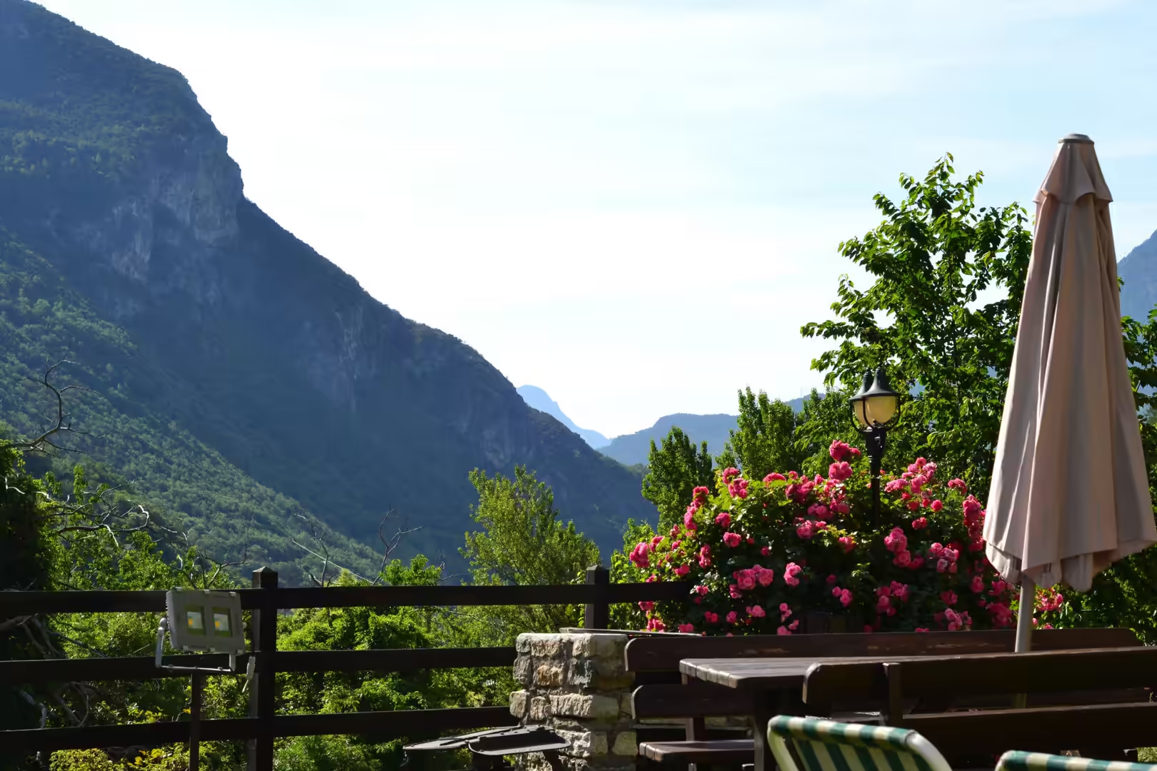
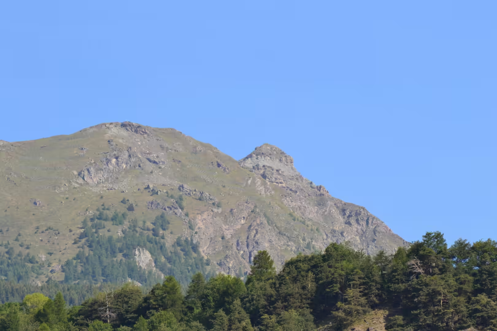
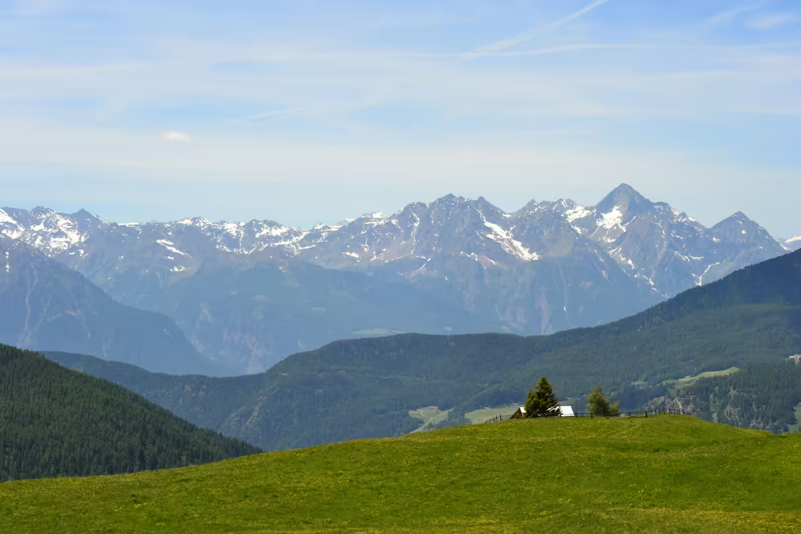
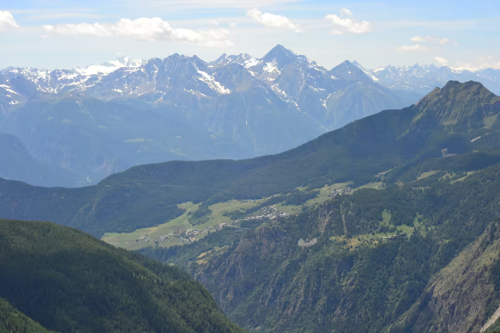
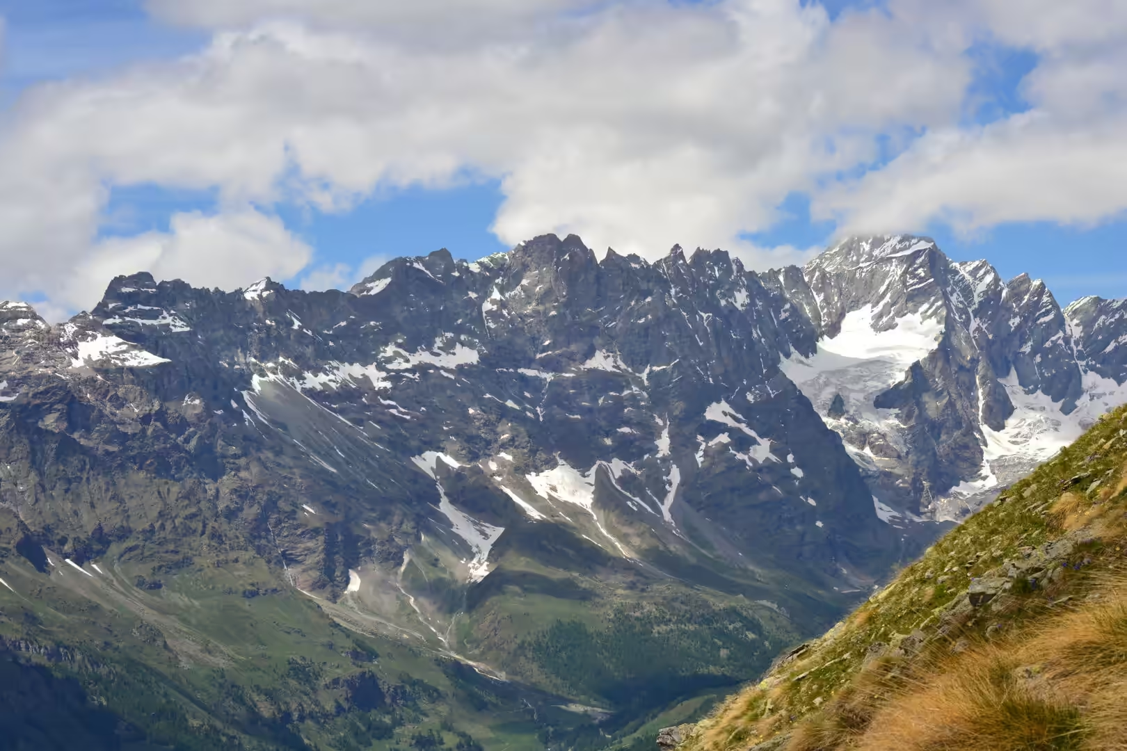
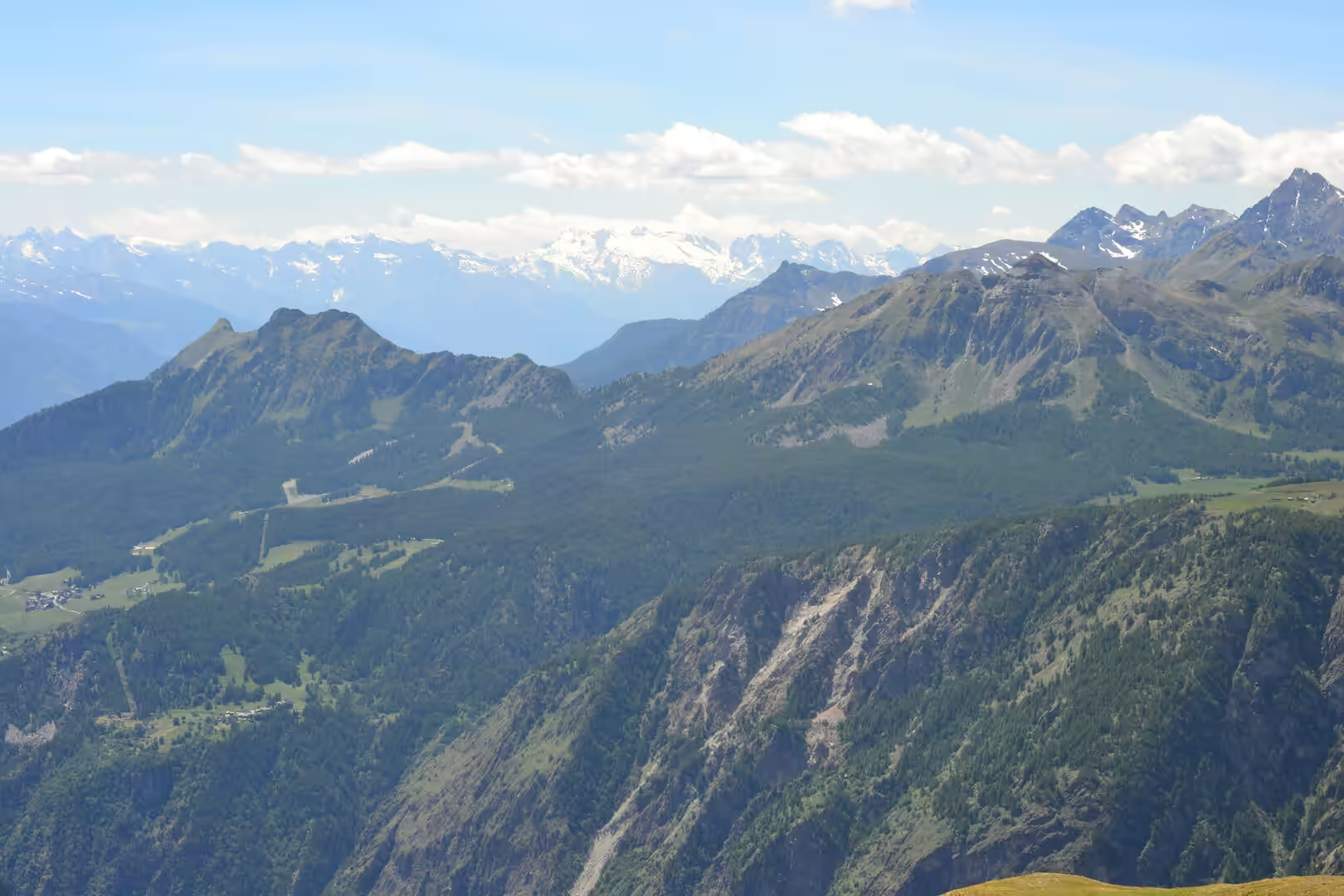
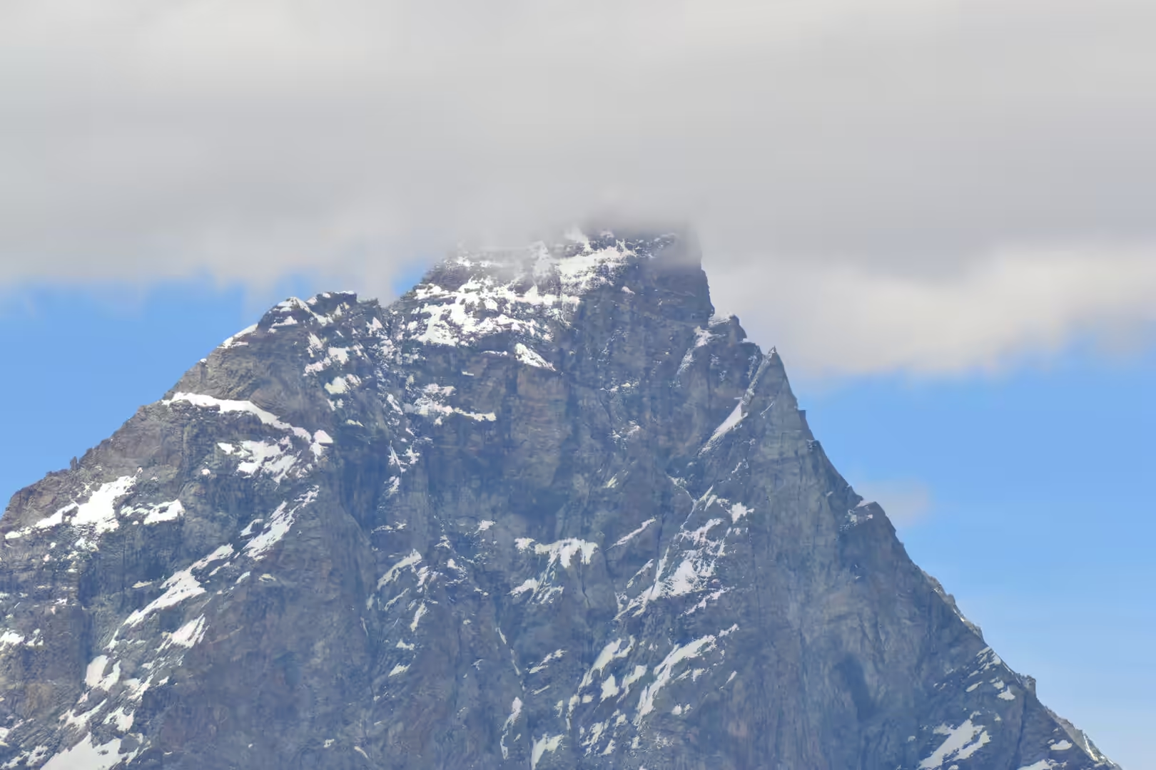
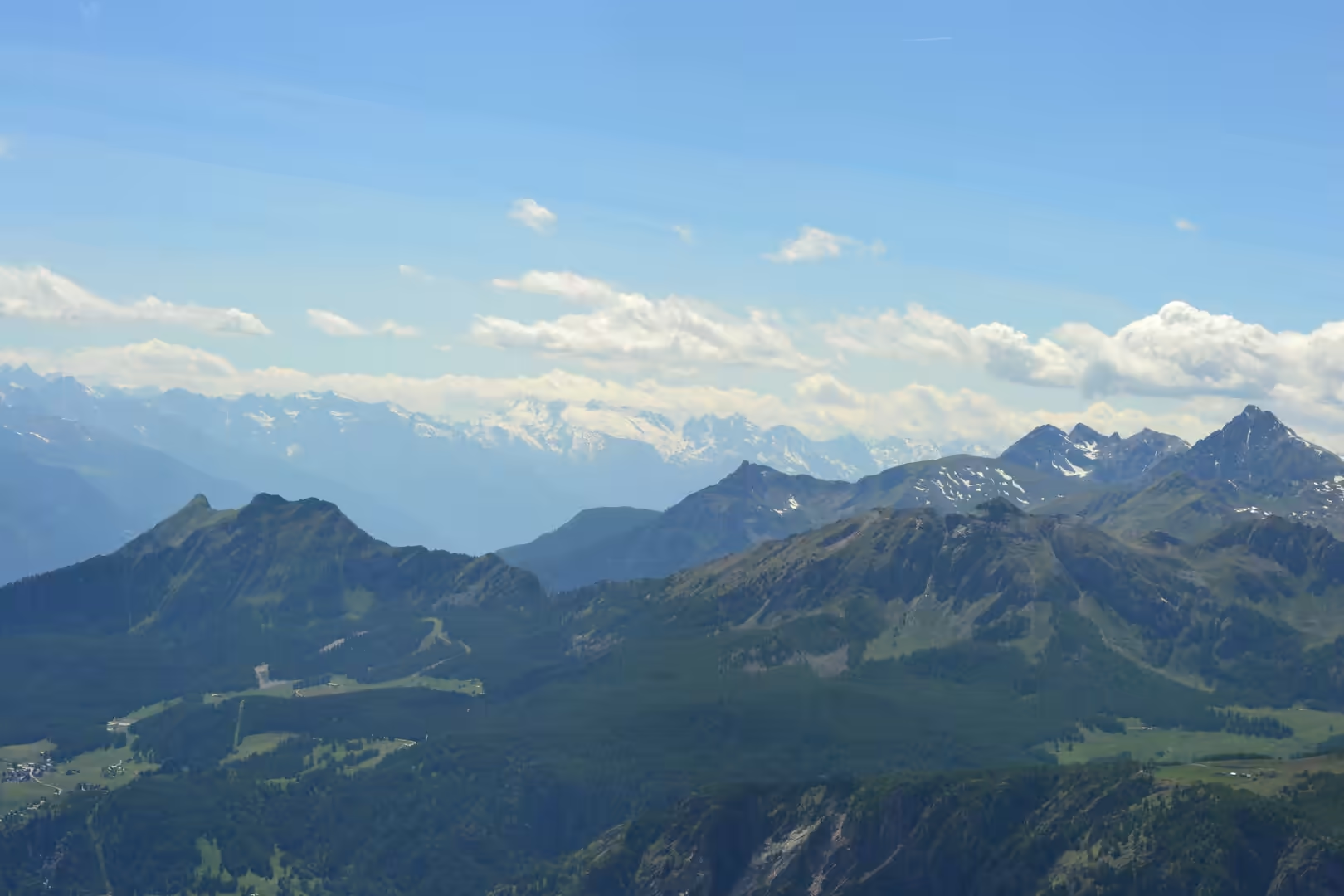
The Aosta Valley is the smallest region of Italy and the highest, a long trough in the Alps that runs from the plains of Piedmont up to the glaciers of Mont Blanc and the Matterhorn. Arriving in it at the end of June means arriving in the middle of the flowering season: the meadows on the valley floor are cut for hay, the slopes above them are covered in wildflowers, and the snow is still lying on the summits that close the valley at its head.
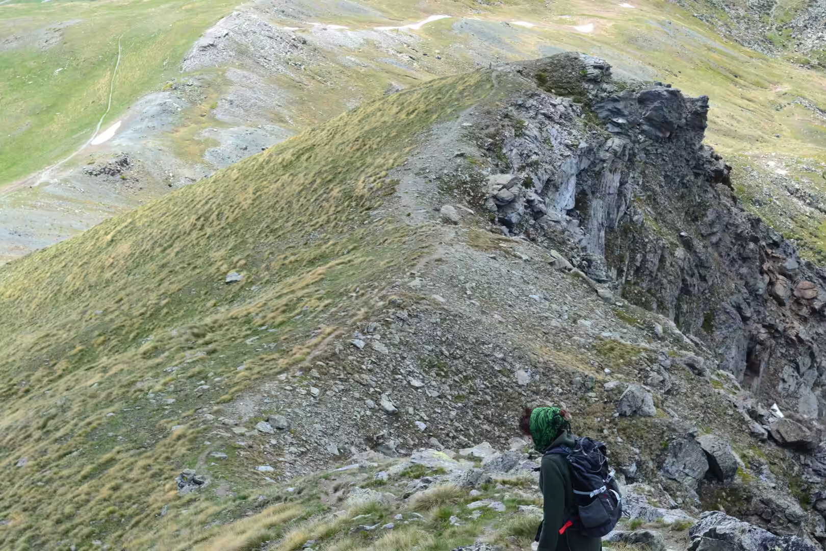
The days here were spent walking. The valley has a network of marked trails that is one of the densest in the Alps, the paths are signposted with destinations, walking times and difficulty, and a person can leave a village in the morning and be above the tree line by lunchtime without a car. The pattern of a day is simple: a climb through the forest, a stretch of open meadow with flowers, a ridge or a hut for the view, and the descent in the afternoon light.
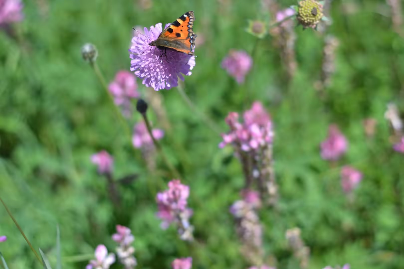
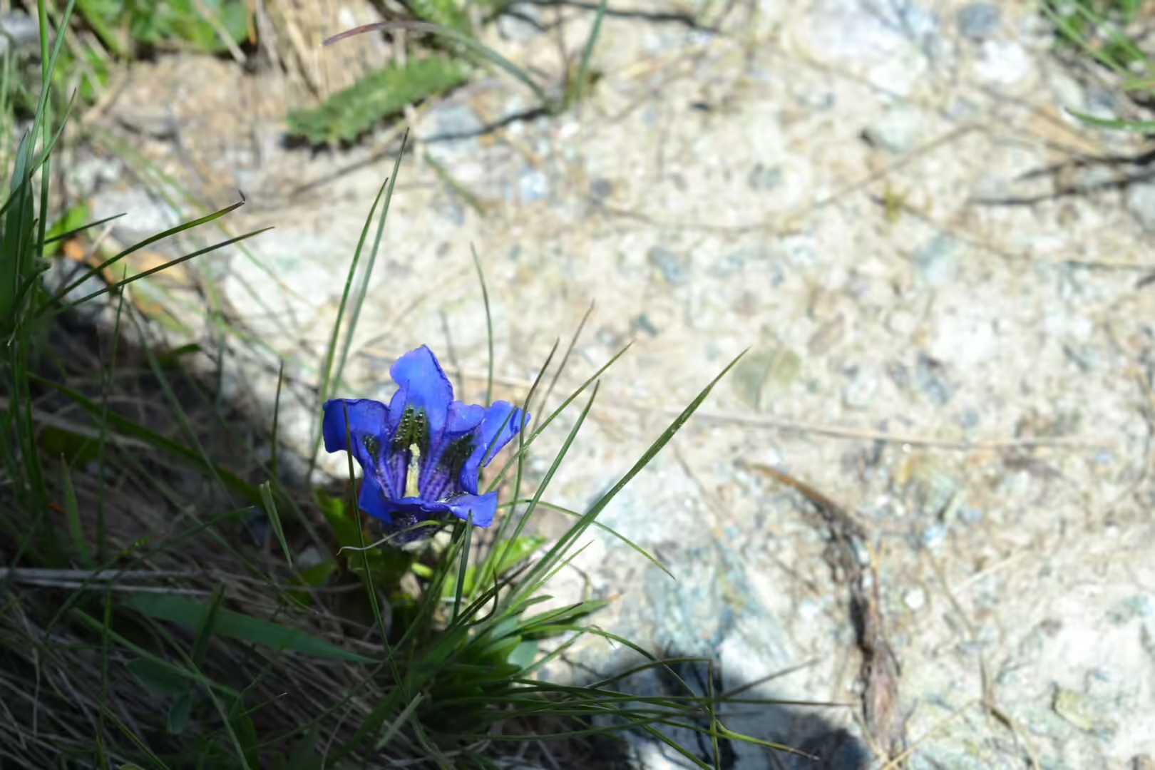
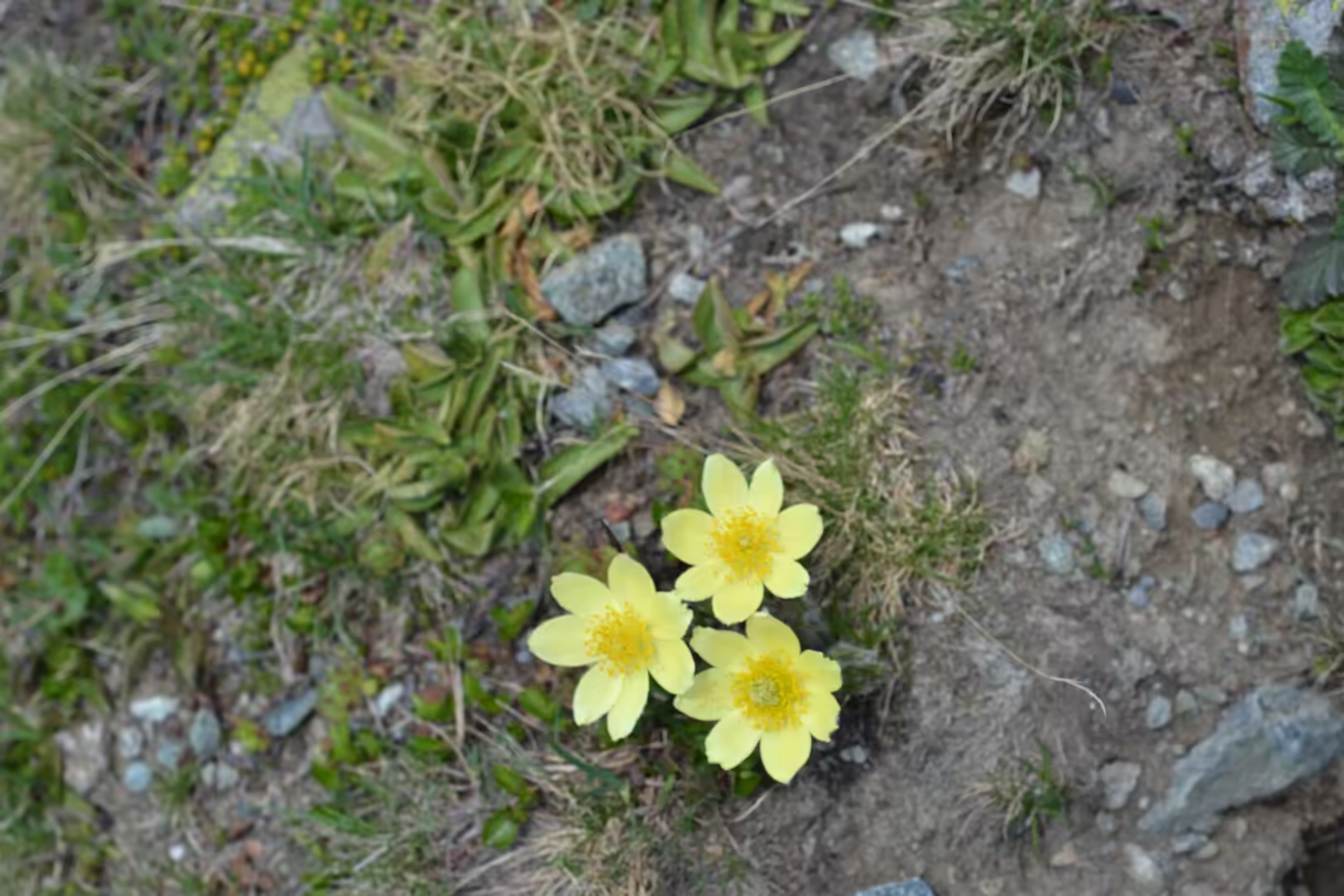
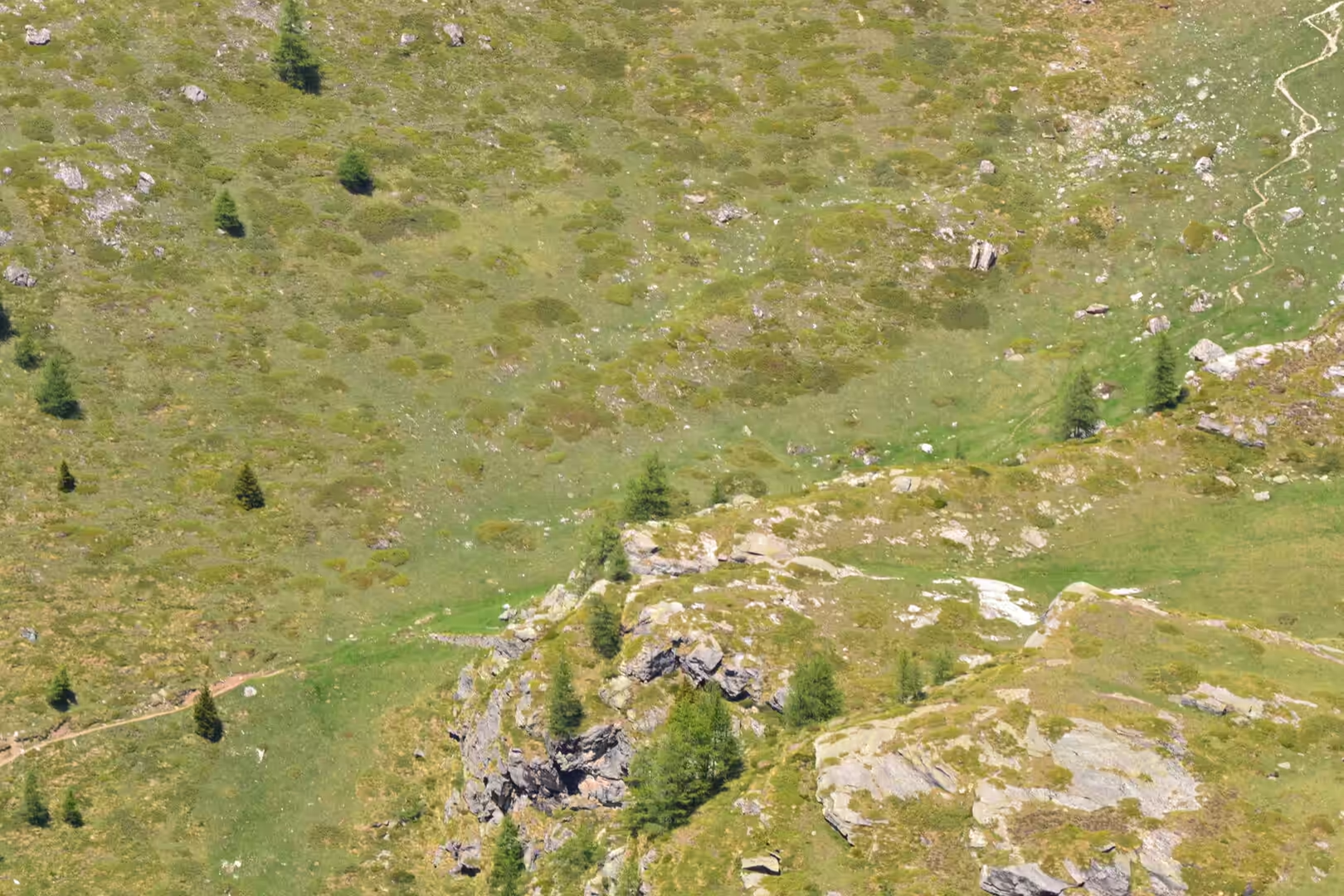
The flowers are the thing that a visitor from the north does not expect. The alpine meadows above the villages carry gentians in a blue that looks artificial, pink and white cushion plants growing out of the scree, yellow buttercups and globeflowers, and tiny ground-hugging species in the moss beside the paths. The butterflies are everywhere, and the butterflies here are large, dark and slow enough to watch.
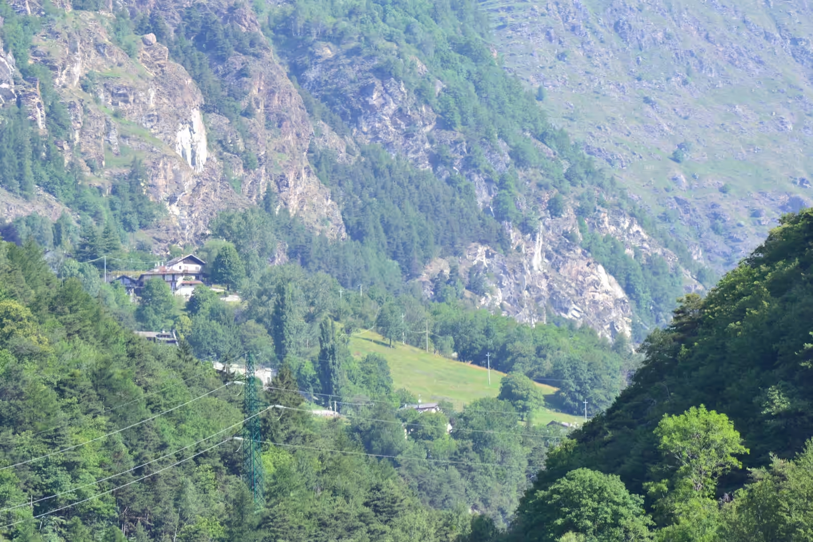
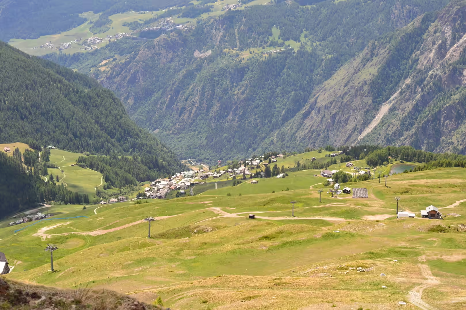
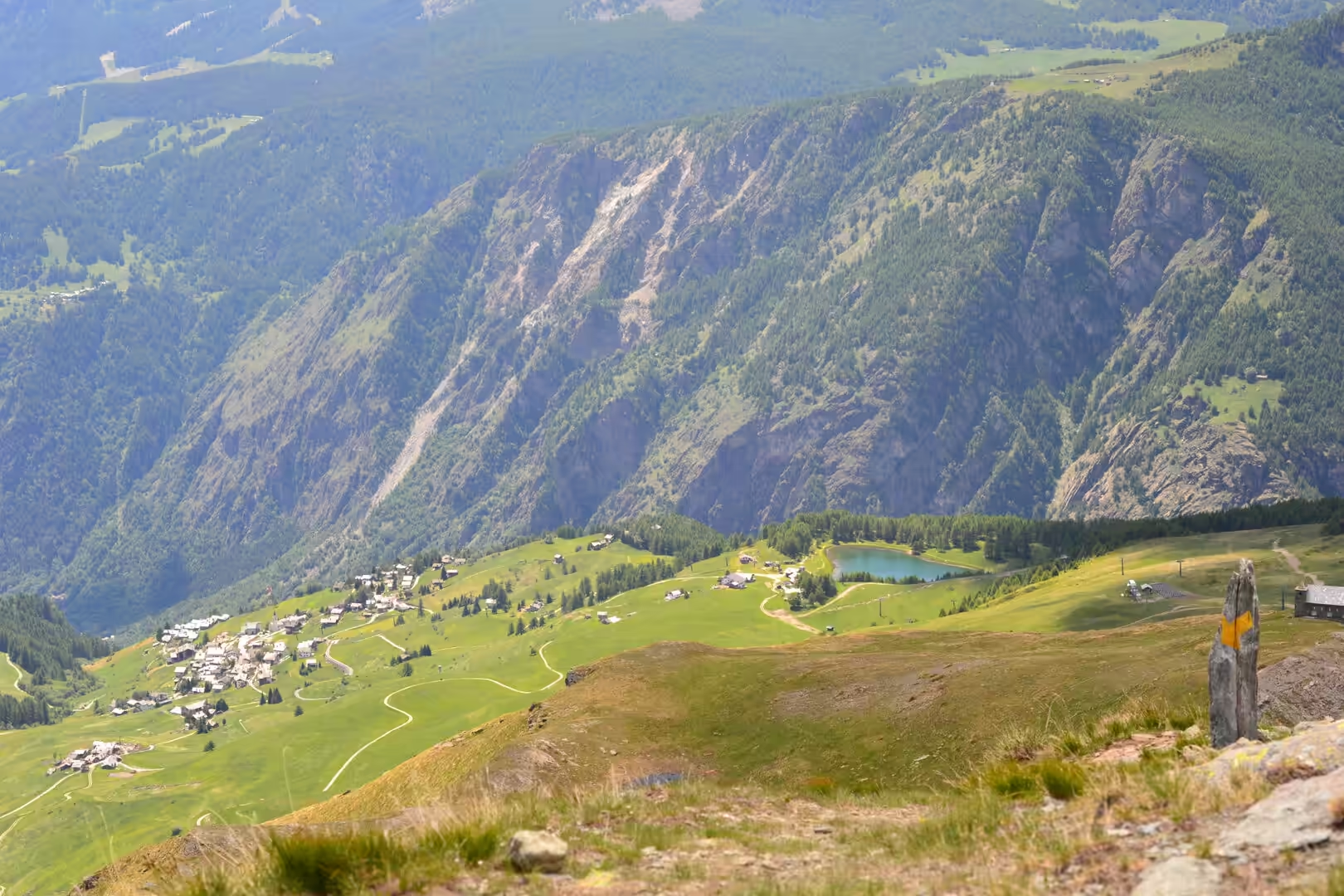
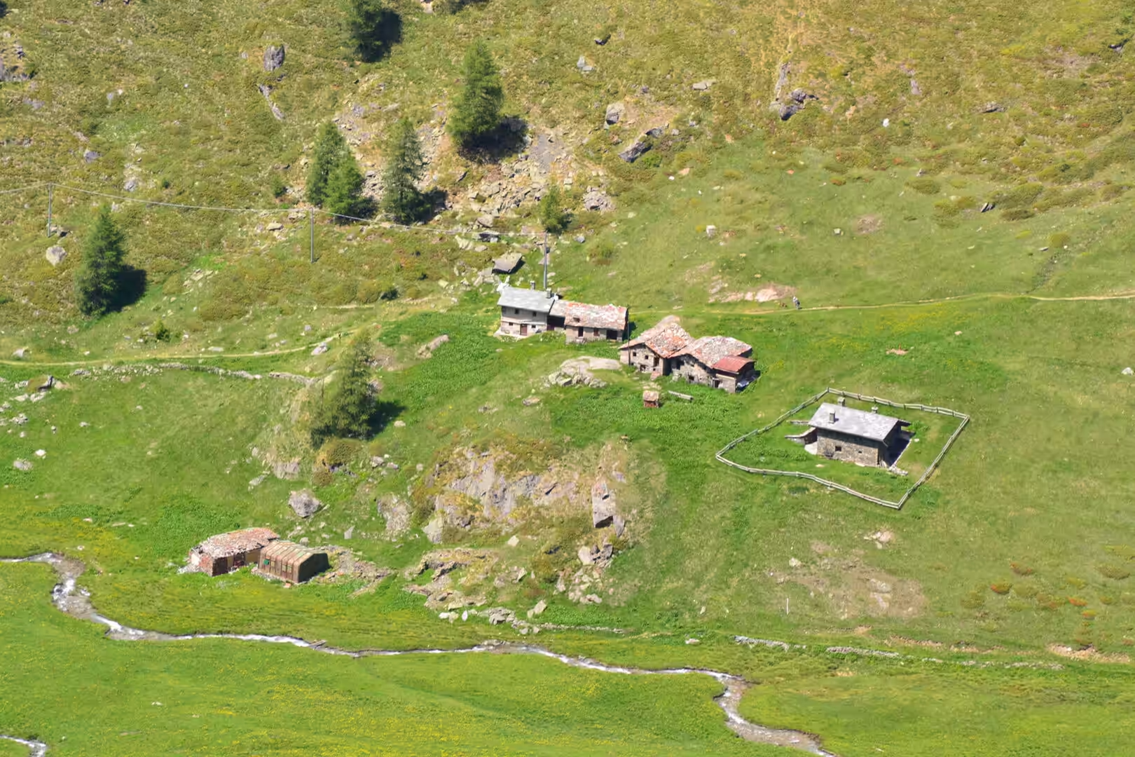
The villages are part of the pleasure. Each one has a church with a stone tower, a cluster of houses built of stone and larch, barns on the edges of the meadows, and a fountain where the old men sit in the afternoon. The architecture changes from valley to valley: the houses of the Valpelline are roofed with flat stone, those of Cogne are built of timber, and the Walser villages higher up look like something from the Swiss valleys because that is exactly what they are.
The weather during the walking days was the classic alpine pattern of early summer. Mornings were clear and cool, the meadows were wet with dew until the sun came over the ridge, and the middle of the day was hot on the south-facing slopes and cold in the shade of the larch. By three in the afternoon the clouds had built up over the peaks, and the thunderstorms that followed were brief, loud and followed by a light that made the whole valley glow. The rule of starting early is not a superstition in this valley, it is the way the day is arranged.
History
The valley has been a corridor through the Alps since prehistory, and the Romans made it a province. The Salassi, the people who lived here, were defeated by a Roman army in 25 BC, and the colony of Augusta Praetoria Salassorum was founded at the point where the valley roads meet, with three thousand retired veterans settled in it. The plan of that colony is still the plan of the modern town of Aosta, and its walls, gate, arch and theatre are still standing.
After the Romans the valley passed through the hands of the Burgundians, the Franks and the kingdom of Burgundy, and by the Middle Ages it was a collection of feudal lordships. The families that ruled it built the castles that are its most conspicuous inheritance, and the most famous of them, the castle at Fénis, belonged to the Challant family, who were among the most powerful of the local dynasties. The valley’s position on the roads to the passes made its lords rich, and it made the valley a place where the languages of France, Italy and Germany met.
The German language arrived with the Walser, settlers from the Valais in what is now Switzerland, who moved into the high valleys of the Alps between the twelfth and thirteenth centuries. They took up land that nobody else wanted, above the existing villages, and their communities kept their own dialects, their own form of timber building and their own legal customs. The villages they founded still exist in the upper valleys of the region, and the Walser language and identity are still part of the culture of the valley.
The twentieth century added two more layers. The first was hydroelectricity: the rivers of the valley were dammed from the 1920s onwards, and the reservoirs, power stations and aqueducts that were built above the villages changed the appearance of whole side valleys. The second was conservation: the royal hunting reserve that had been created around the Gran Paradiso in 1856 to protect the ibex became a national park in 1922, and the park’s network of trails, originally laid out for the animals and their guards, is now the backbone of the walking in the region.
The valley’s autonomy is the other fact that a visitor notices. The region has a special status within Italy, with its own statutes, its own arrangements for taxation and spending and two official languages, Italian and French, which is why the road signs, the school names and the shop fronts are bilingual and why the local dialect, Valdôtain, is heard in the villages. The arrangement has its roots in the post-war settlement and in the valley’s position on the border, and it is the reason the region has been able to invest in its paths, its parks and its mountain infrastructure in a way that other alpine areas have not.
Geology
The Alps are a mountain chain built by collision. The African plate moved north against the European one over tens of millions of years, the sediments and the ocean floor between them were pushed up and piled into sheets, and the result is a chain in which the rocks are stacked in slices, one on top of another, with the older and deeper formations carried upward over the younger ones. The Aosta Valley lies in the middle of that structure, and the rocks on its two sides belong to different slices of the pile.
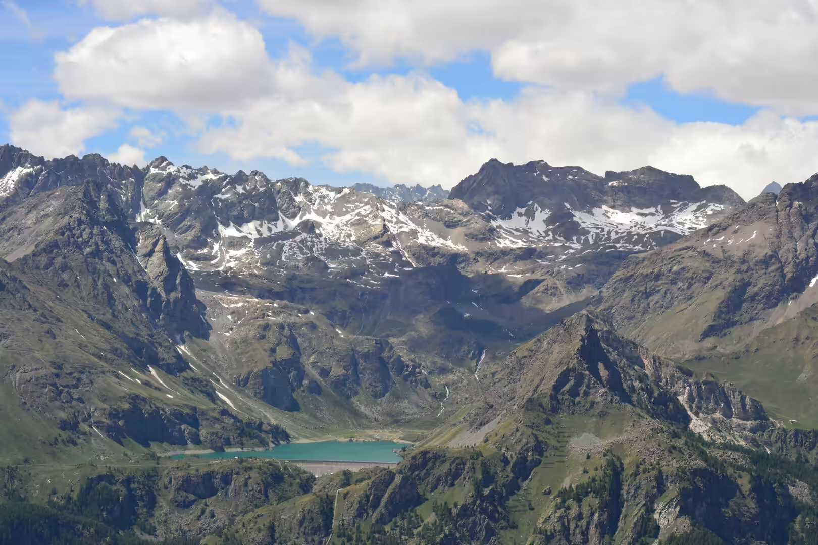
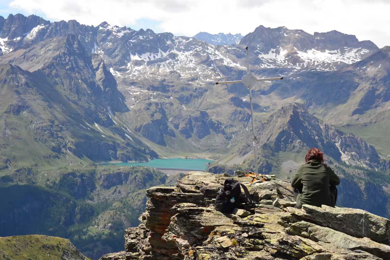
The valley itself was carved by ice. It is a glacial trough, shaped by a glacier that filled it to a depth of hundreds of metres during the ice ages, and the marks of that are everywhere: the smoothed rock on the shoulders of the valley, the moraines that block side valleys and hold lakes behind them, the hanging valleys whose streams fall into the main valley as waterfalls, and the lakes in the hollows that the ice excavated. The turquoise reservoir behind the dam at Place Moulin is a modern version of the same thing: a glacial valley, dammed.
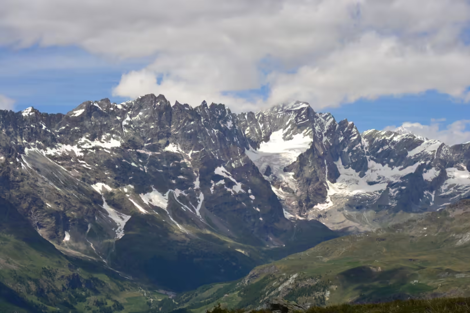
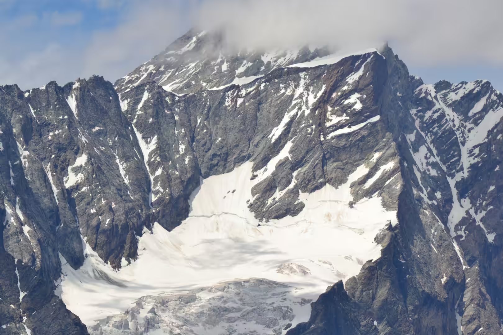
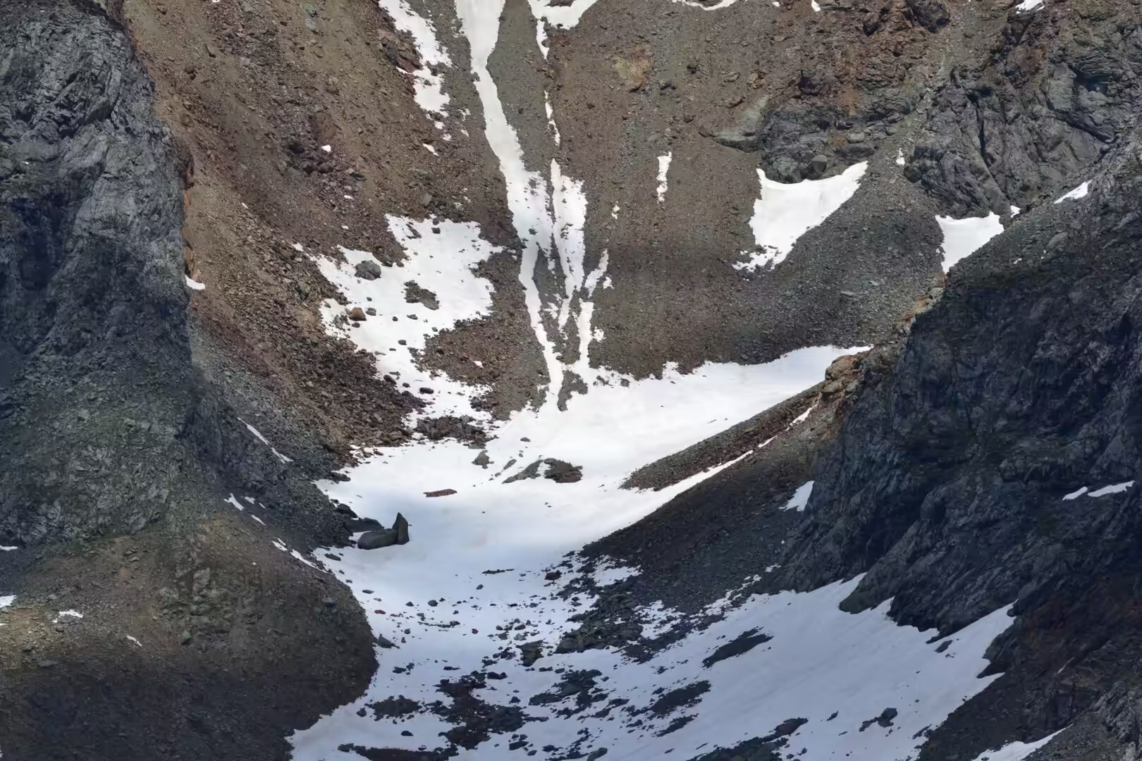
The glaciers that remain are a fraction of what was here, and they are shrinking. The ice fields of the Mont Blanc massif, the Gran Paradiso and the side valleys of the region have lost a large part of their volume in the last century, the glacier tongues have retreated up their valleys, and the streams that drain them carry the sediment that the melting releases. The process is visible on any walk above the tree line: bare moraine, new lakes, and the grey, unstable slopes that the ice has left behind.
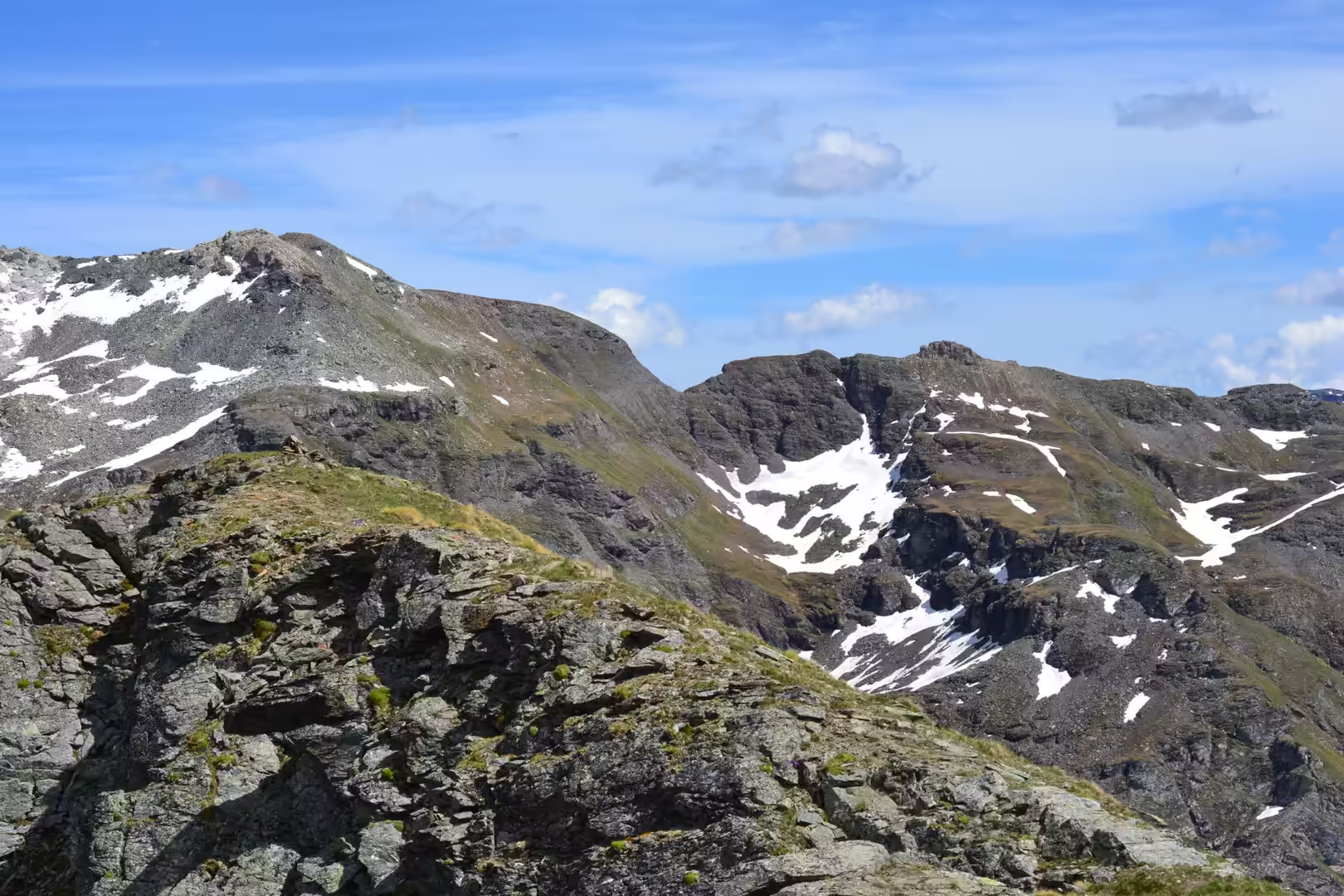
The alpine vegetation above the tree line is a community of survivors. The growing season is short, the temperature falls below freezing at night for much of the year, the wind is strong and the soil is thin, so the plants that live there are low, cushion-shaped, deep-rooted and hairy. The flowers of the alpine meadows are the visible result of that strategy, and the treeline itself is a boundary that the plants draw and the climate moves: in this valley it runs at about two thousand metres, and the cultivated meadows and the hay barns stop at about the same height.
The mineral wealth of the valley is part of its geology and its history. Iron, copper and gold were worked in the side valleys from the Middle Ages onwards, the mines of Cogne produced iron ore for centuries, and the smelting works and the forges that used it left their marks on the villages and the forests. The mineralisation belongs to the same collision that built the chain: the hot fluids that moved through the rocks as the plates came together concentrated the metals in veins, and the miners followed the veins into the mountains.
Things to See
The walking in the Aosta Valley is organised in a way that makes it easy for a visitor. The regional authorities maintain a network of numbered trails, the signs at the junctions carry the destination, the walking time and a difficulty grading, and the huts and the villages along the way provide food and accommodation. The dogs that accompany the walkers are as common as the walking poles, and the paths are used by families on the lower slopes and by serious mountaineers higher up.
The national park of the Gran Paradiso is the centrepiece of the region for most visitors. It protects a massif of more than four thousand metres, its forests and its meadows, and it is famous for the ibex that were saved from extinction by the hunting reserve that preceded it. The chamois, the marmots and the eagles are common in the park, the ibex are seen regularly on the high slopes, and the trails of the park include some of the best known walks in the Alps.
The reservoirs and the dams are worth a visit for anyone interested in the landscape of the last century. The Place Moulin dam above Bionaz is a large arch dam in a glacial valley, with a reservoir of turquoise water behind it and a road that runs along the shore, and the engineering is as impressive as the mountain above it. The dams also created problems that are still being managed: the slopes above some of the reservoirs have been unstable since they were filled, and one of them, at Beauregard in the Valgrisenche, has been monitored for decades.
The smaller pleasures of a walking holiday here are the villages and the food. The lard of Arnad, the fontina cheese of the valley, the rye bread and the honey are the produce of the same meadows that the walkers cross, and the restaurants of the villages serve them in portions that a walker has earned. The coffee is Italian, the wine comes from the slopes of the valley, and the bill at the end of a day in the mountains is a fraction of what the same day would cost in a resort on the other side of the Alps.
The practical advice for a walking holiday in the valley is short. Water is available from the fountains of the villages, the huts take bookings in the season, and the bus network connects the side valleys with the main railway line, which means that a route can be walked in one direction without a car. The weather changes quickly in the mountains, a jacket and a map belong in the pack whatever the forecast says, and the afternoon thunderstorms of midsummer are a reason to start early and to be down by the middle of the day.
A note on the practicalities of walking here is worth having before setting out. The regional path network is marked with numbers and signs, the bus services reach the trailheads in the side valleys, and the tourist offices publish maps and route cards in several languages. Water can be taken from the village fountains, the huts serve meals without a booking at midday, and the emergency number for the mountain rescue service is displayed at every trailhead. The mountains here are high but the infrastructure is good, and the result is that a walker with ordinary fitness can reach places that would be expeditions elsewhere.
References
- Wikipedia contributors (2026). Aosta Valley. en.wikipedia.org/wiki/Aosta%20Valley
- Wikipedia contributors (2026). Aosta. en.wikipedia.org/wiki/Aosta
- Wikipedia contributors (2026). Cogne. en.wikipedia.org/wiki/Cogne
- Wikipedia contributors (2026). Gran Paradiso. en.wikipedia.org/wiki/Gran%20Paradiso
- Wikipedia contributors (2026). Gran Paradiso National Park. en.wikipedia.org/wiki/Gran%20Paradiso%20National%20Park
- Wikipedia contributors (2026). Valgrisenche. en.wikipedia.org/wiki/Valgrisenche
- Wikipedia contributors (2026). Valpelline. en.wikipedia.org/wiki/Valpelline
- Wikipedia contributors (2026). Place Moulin Dam. en.wikipedia.org/wiki/Place%20Moulin%20Dam
- Wikipedia contributors (2026). Walser. en.wikipedia.org/wiki/Walser
- Wikipedia contributors (2026). Alps. en.wikipedia.org/wiki/Alps
- Wikipedia contributors (2026). Glacier. en.wikipedia.org/wiki/Glacier
- Wikipedia contributors (2026). Great St Bernard Pass. en.wikipedia.org/wiki/Great%20St%20Bernard%20Pass
- Wikipedia contributors (2026). Little St Bernard Pass. en.wikipedia.org/wiki/Little%20St%20Bernard%20Pass
- Wikipedia contributors (2026). Fort Bard. en.wikipedia.org/wiki/Fort%20Bard
- Wikipedia contributors (2026). Dora Baltea. en.wikipedia.org/wiki/Dora%20Baltea
- (ohne Angabe) (1970) Alpine Ibex near Gran Paradiso (4,061 m) in Italian Alps (Photo by Ariberto Segàla). Arctic and Alpine Research. 2. doi.org/10.1080/00040851.1970.12003564
- Parrini F., Grignolio S., Luccarini S., Bassano B., et al. (2003) Spatial behaviour of adult male Alpine ibexCapra ibex ibex in the Gran Paradiso National Park, Italy. Acta Theriologica. 48. 411-423. doi.org/10.1007/bf03194179
- Barla G., Antolini F., Barla M., Mensi E., et al. (2010) Monitoring of the Beauregard landslide (Aosta Valley, Italy) using advanced and conventional techniques. Engineering Geology. 116. 218-235. doi.org/10.1016/j.enggeo.2010.09.004
- Capsi J., Esteve H. (2020) 4 Long Trails in Europe: The path to success of hiking tourism products. Hiking in European Mountains. 35-50. doi.org/10.1515/9783110660715-004
- Guillon H., Mugnier J., Buoncristiani J. (2018) Proglacial sediment dynamics from daily to seasonal scales in a glaciated Alpine catchment (Bossons glacier, Mont Blanc massif, France). Earth Surface Processes and Landforms. 43. 1478-1495. doi.org/10.1002/esp.4333