2017 Aosta Valley 2



Journal Notes
General
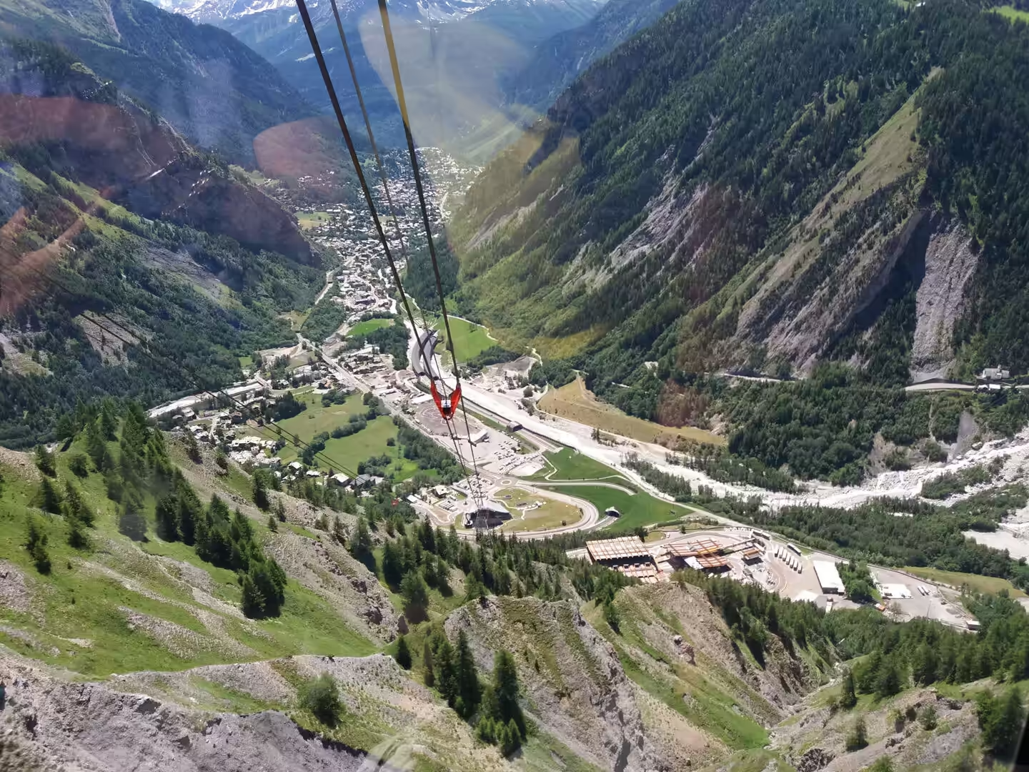
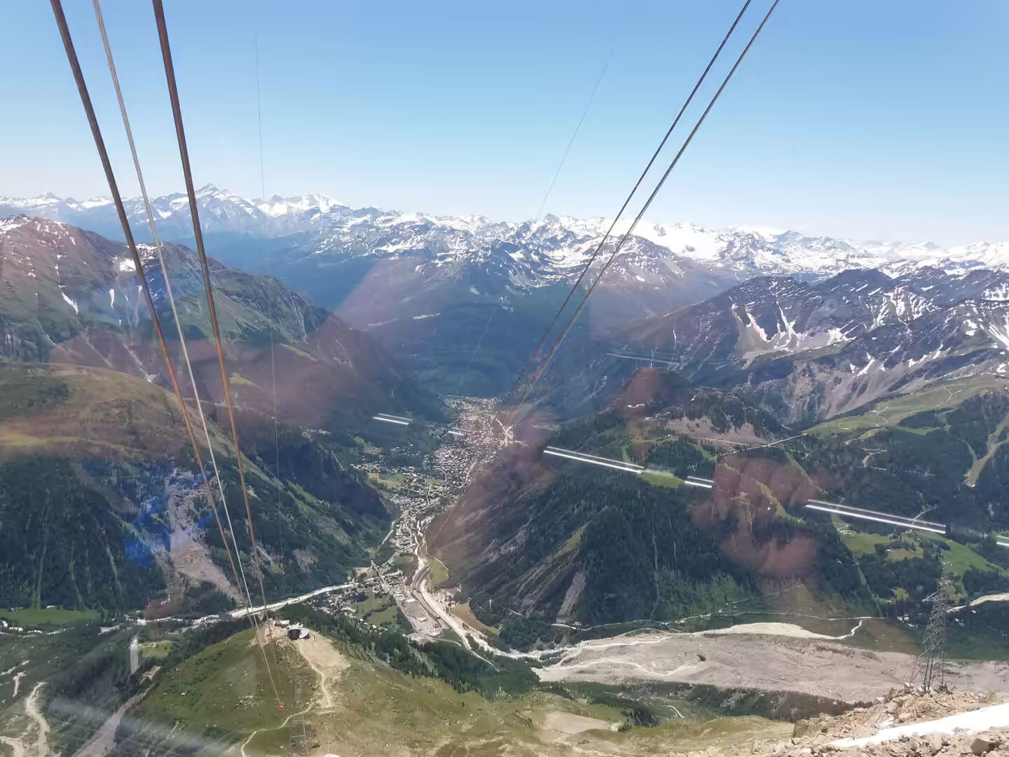
The second day in the valley was given to the highest mountain in western Europe. The road from Aosta runs north through Courmayeur and up to Entrèves, and from there the Skyway Monte Bianco lifts visitors from the valley floor to the ridge of the Mont Blanc massif in two stages. The cabins are round, glazed and rotating, so that every passenger sees the whole of the view, and the ascent takes about half an hour in total.
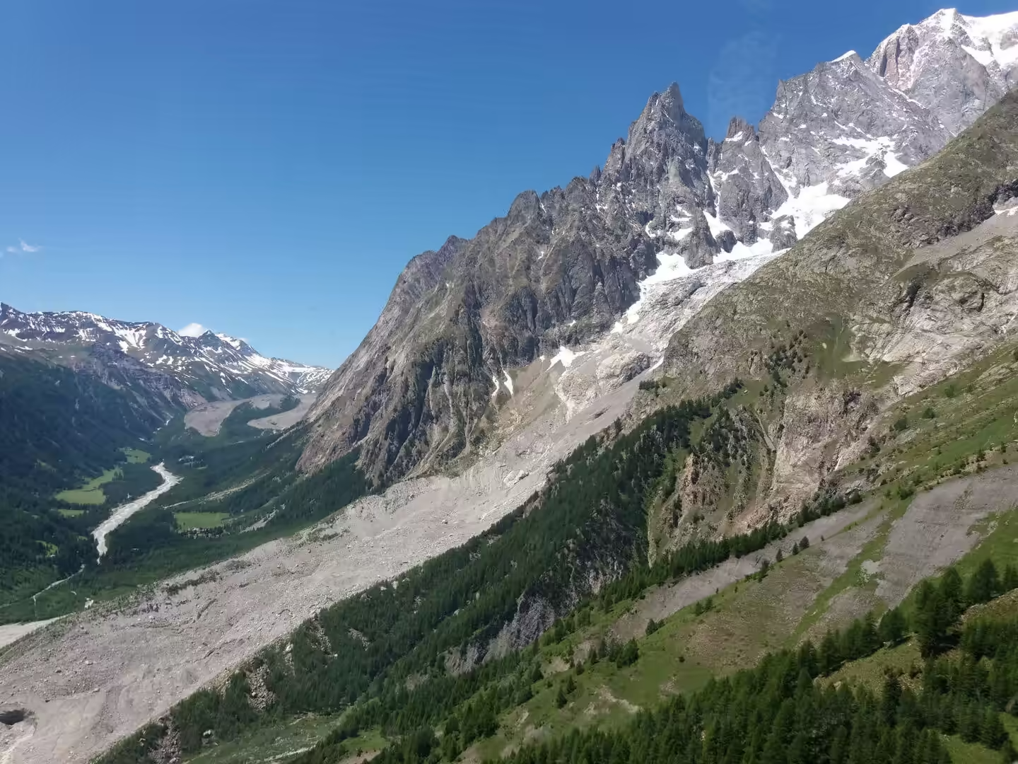
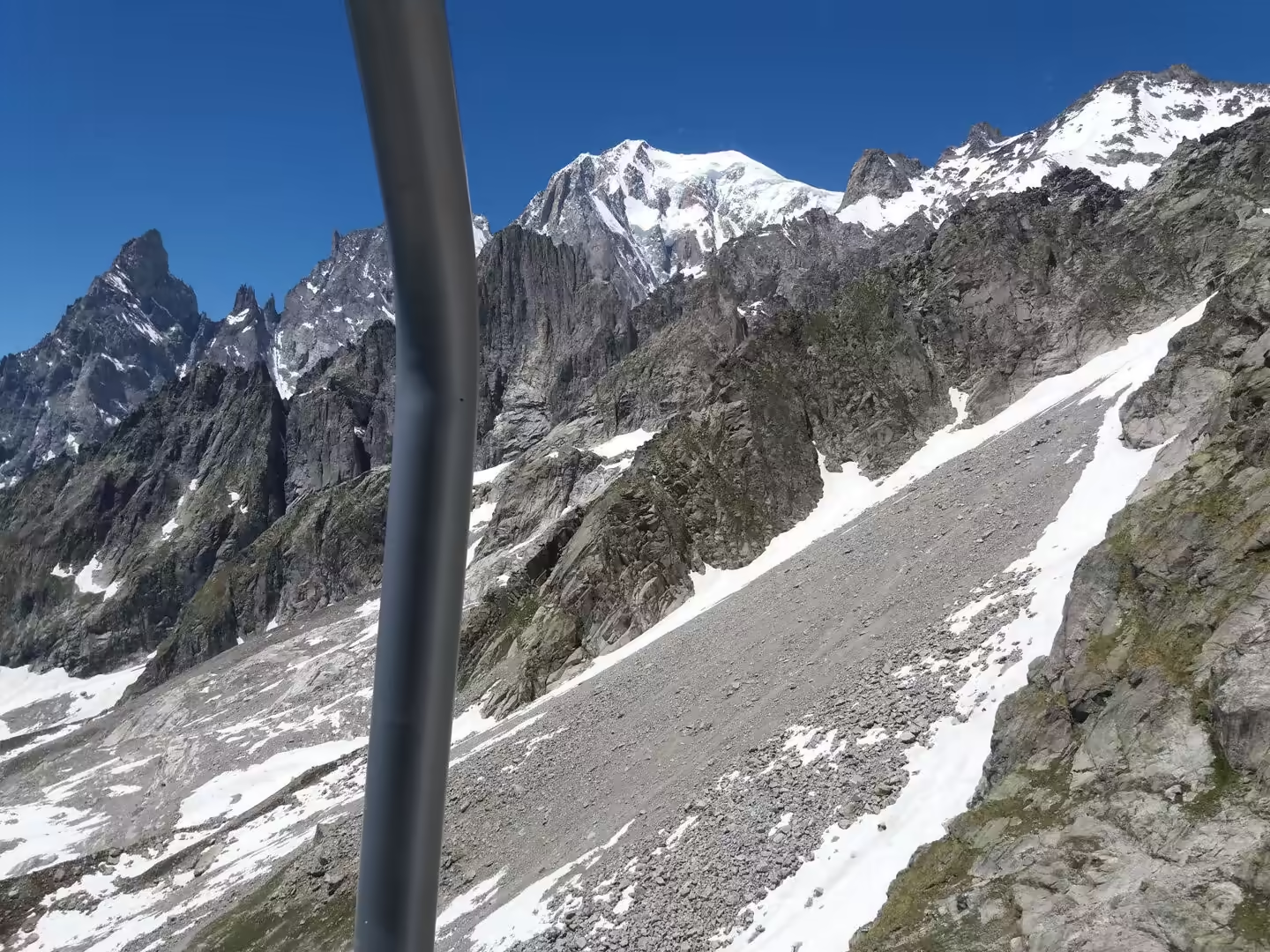
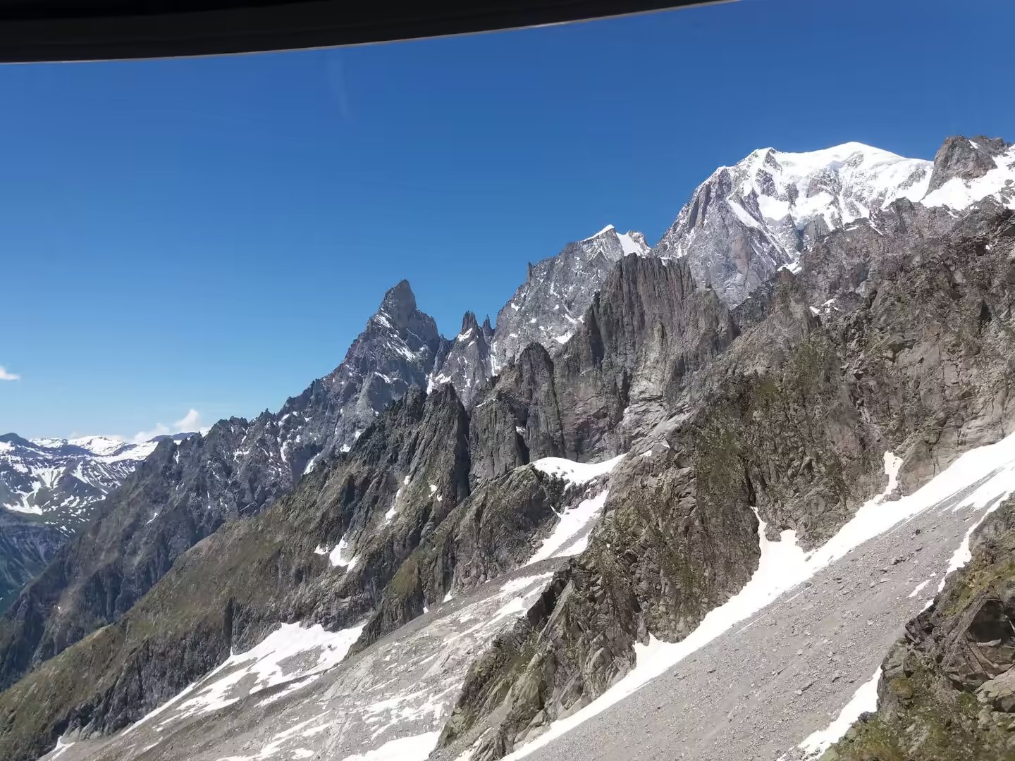
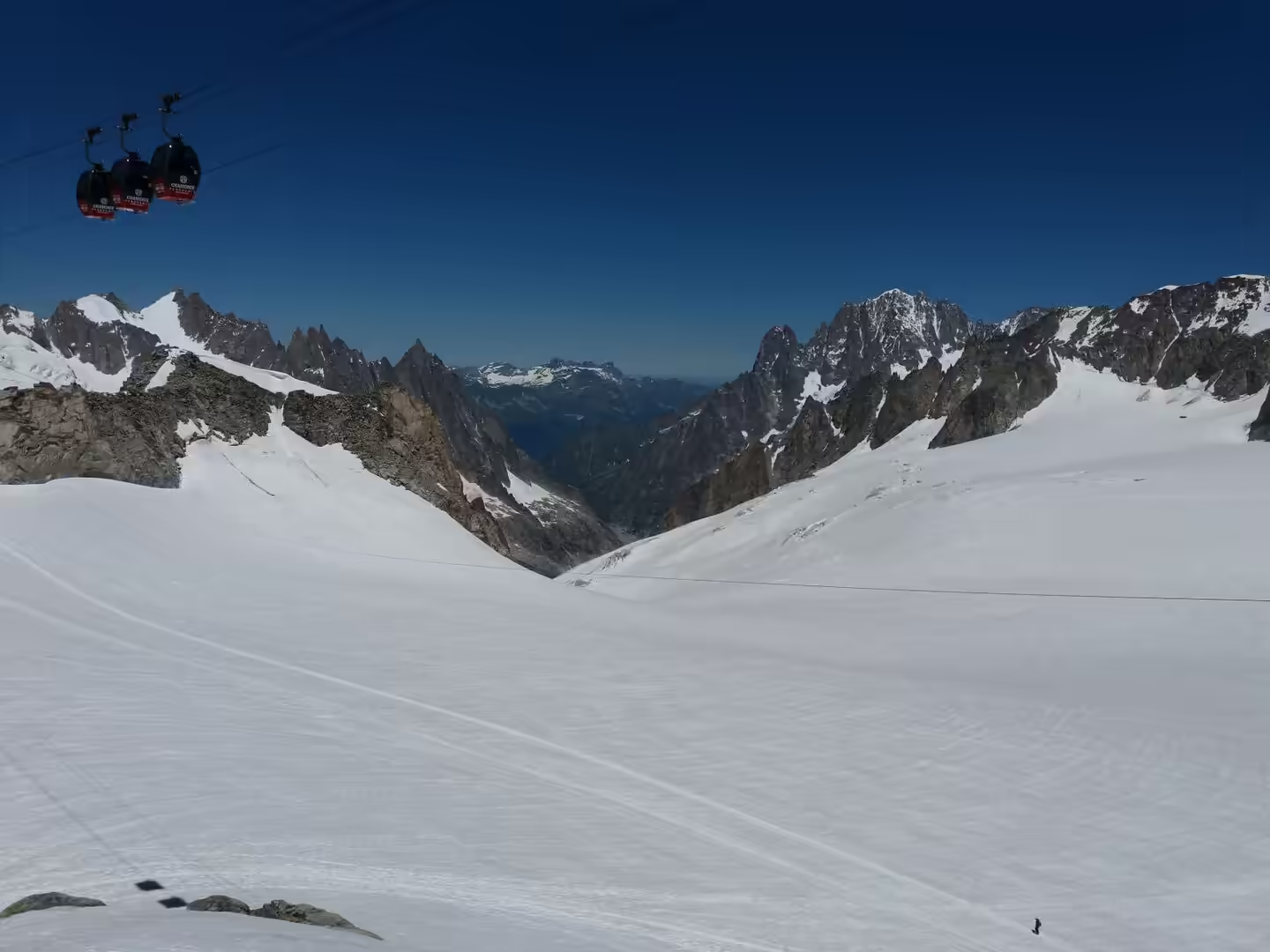
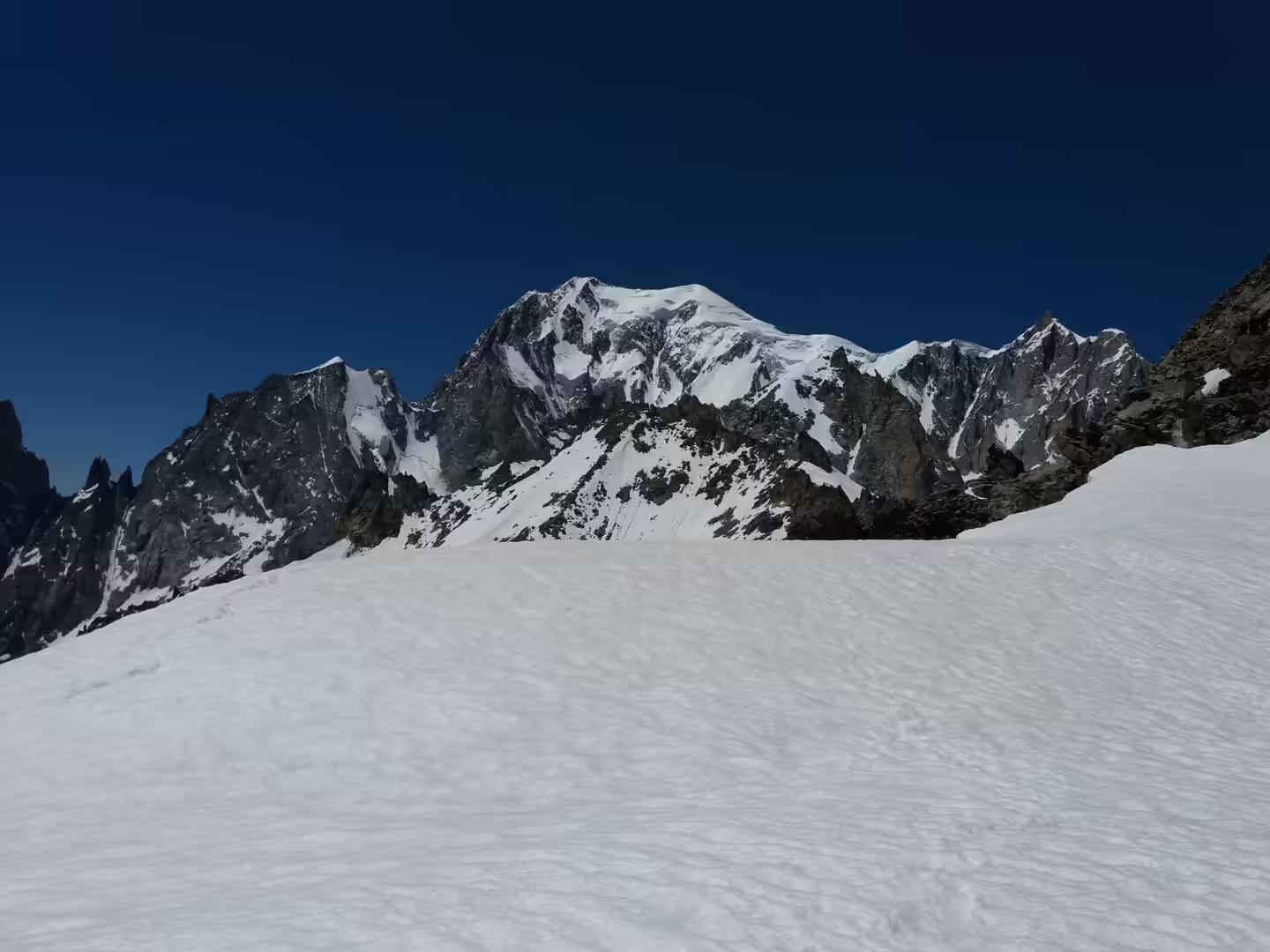
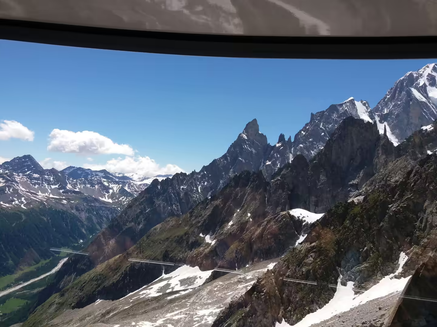
The view that opens on the way up is the whole story of the massif. The valley falls away below with the town and the road visible at the bottom of it, the granite spires of the Grandes Jorasses stand across the gap, the glaciers come down between them, and the summit of Mont Blanc itself stands above everything at the head of the ridge. The surface of the glacier below the upper station is a wreck of crevasses, ice falls and rock, and the tracks of the mountaineers who have crossed it are visible as thin lines.
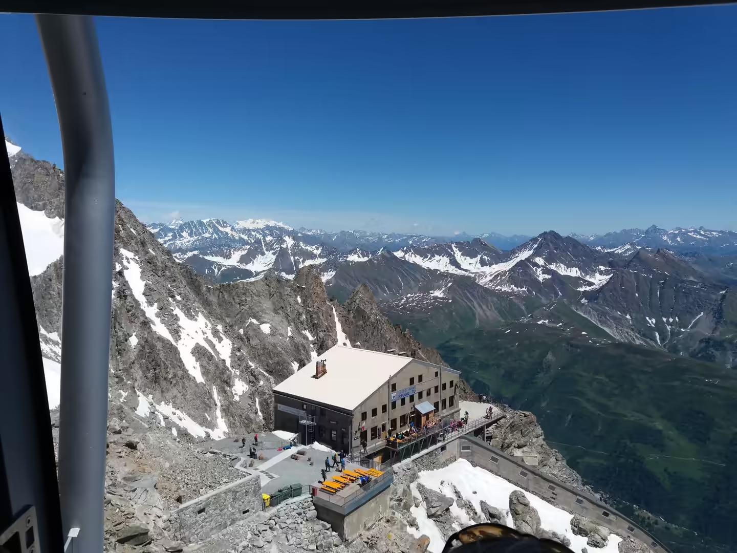
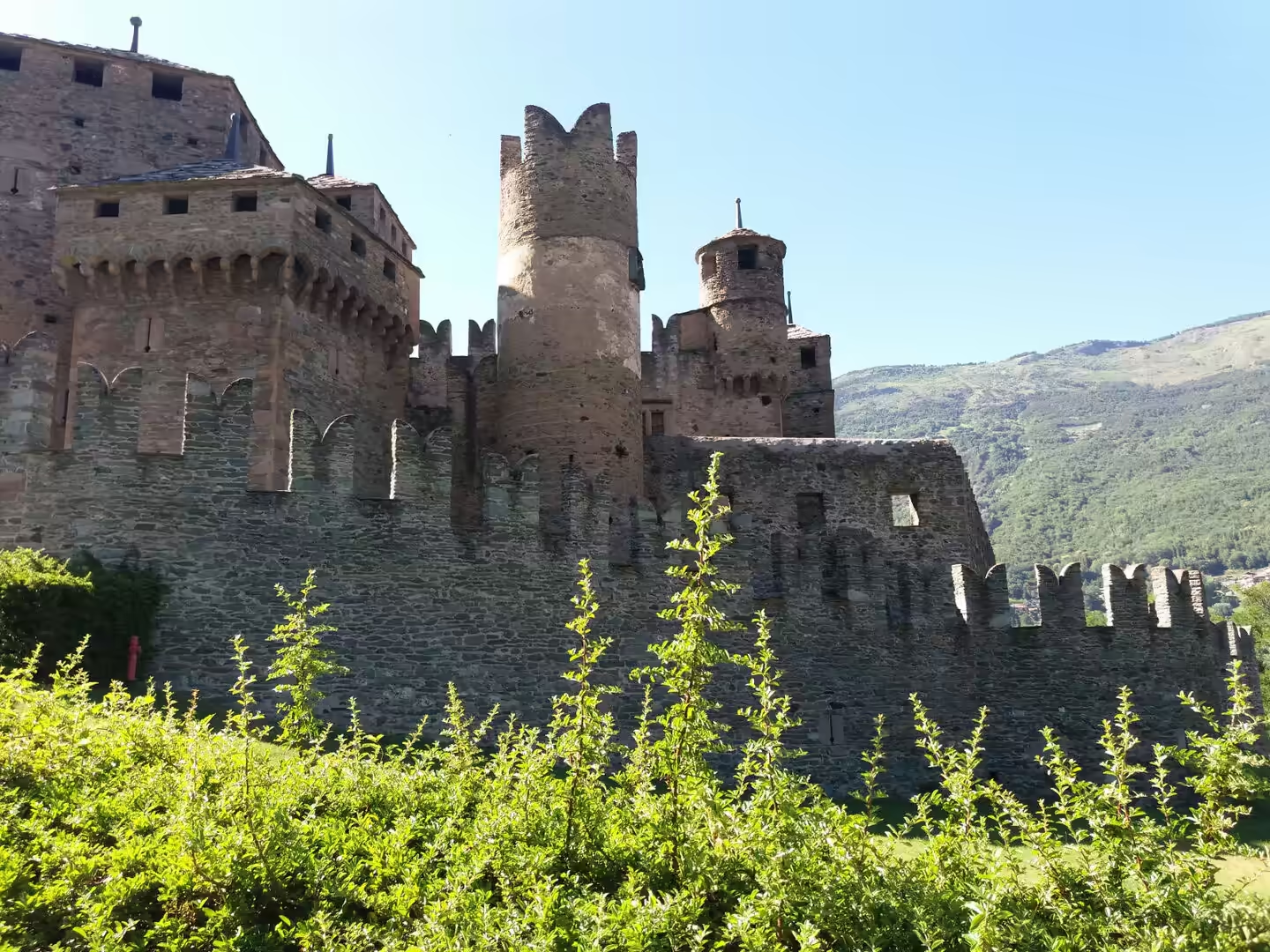
At the top the air is thin, the temperature is near freezing even in summer, and the snowfield on the watershed between France and Italy stretches away on both sides of the ridge. The stone refuge of the Club Alpino Italiano stands a few minutes below the station, and beyond it the crossing to Chamonix descends over the glacier to the French side. The day ended back in the valley at the castle of Fénis, whose towers and battlements are the most visited building in the region.
The days in the valley end early and quietly. The towns empty after the last cable car has come down, the shops close, and the restaurants fill with walkers and climbers comparing notes about the weather and the routes. The local wine is light and drunk young, the cheese comes from the meadows that were crossed during the day, and the conversation in the square is in two languages and sometimes three. It is a mountain culture that has been a tourist culture for two hundred years, and the mixture is comfortable rather than spoiled.
History
The cable car from Courmayeur to the ridge is the latest chapter in a long history of people going up this mountain. The first recorded ascent of Mont Blanc was made from the French side in 1786, the massif’s glaciers and ridges became the laboratory of mountaineering in the nineteenth century, and the Italian side developed its own route through the spires and the ice. The cable car that now carries visitors to the ridge was built over three years and opened in 2015 at a cost of a hundred and ten million euros, and it is considered the most expensive cable car installation in the world.
The tunnel beneath the mountain changed the valley more than any other single project. The Mont Blanc Tunnel was opened in 1965 and runs for eleven and a half kilometres between Italy and France, making the valley a corridor of European traffic rather than a remote cul de sac. The motorway and the tunnel brought trade and tourists, they also brought heavy lorries through the villages, and the safety regime of the tunnel has been redesigned since the end of the twentieth century, with the result that the traffic is now controlled and the tunnel is one of the most closely monitored road tunnels in the world.
The castle at Fénis is the other end of the valley’s history, and it is the best preserved of its kind in the region. It appears in a document of 1242 as a property of the Viscounts of Aosta, the Challant family, and it was rebuilt in the fourteenth century as the residence of a powerful household, with a double ring of walls, round towers, battlements and a courtyard with painted arcades. It was abandoned later and used as a farm building, and it was bought in 1895 by the architect Alfredo d’Andrade, who began the restoration that was completed in 1935 and gave it its present appearance.
The castles of the valley are a system rather than a collection. The Challant family and their rivals built them at the points where the side valleys join the main one, so that the roads and the passes could be controlled, and the towers stand today above the vineyards, the orchards and the motorway in a way that makes the medieval geography of the region unusually easy to read. The castle at Fénis is the showpiece, but there are dozens of others, some restored and open, some ruined on their hilltops, and all of them part of the same story of a valley that was worth fortifying.
Geology
Mont Blanc is a granite massif, and the rock is the reason the mountain has the shape it does. The granite was intruded into the older rocks of the chain during the collision of the plates, it cooled slowly at depth and it is hard, coherent and resistant to erosion, which is why the massif stands above the softer rocks around it and why its peaks are spires rather than ridges. The spires of the Grandes Jorasses and the aiguilles above Chamonix are the same granite seen from different sides.
The glaciers of the massif are the other half of the story. The ice that once filled the valley of Courmayeur is gone, but the high basins still hold the largest ice fields of the western Alps, and the Mer de Glace and the Glacier du Géant flow down the flanks of the mountain toward the valleys on both sides. The glaciers are retreating: their tongues have shortened, the ice has thinned, and the moraines of the nineteenth century stand far beyond the present edge of the ice. A visitor arriving by cable car sees that history in a single afternoon, because the old high-water marks of the ice are visible on the rock walls beside the stations.
The mountain is also the watershed of western Europe. Rain and snow that fall on the summit reach the sea through the Rhône and the Mediterranean on the French side and through the Po and the Adriatic on the Italian, and the ridge that separates them runs through the massif at more than three and a half thousand metres. The line of the border follows the ridge, and the cable car crosses it, which is why the same mountain has two names, two countries and two traditions of climbing it.
The rocks around the massif include the deep formations that the collision carried up from the floor of an ancient ocean. Bodies of dark, dense rock, some of them the remains of the oceanic crust with its mantle rocks, are exposed in the foothills of the Graian Alps, and their study was part of the work that established the theory of plate tectonics in the Alps. Walking in the lower valleys, a visitor is walking over the floor of a sea that no longer exists, lifted three thousand metres and squeezed into the pile of sheets that makes up the chain.
One consequence of the geology is visible in the valley’s water. The rivers that drain the glaciers are milky with the fine sediment that the ice grinds out of the rock, and the reservoirs that collect them are the colour of turquoise because the same particles scatter the light. The hydroelectric system of the valley, built from the 1920s onwards, is a chain of dams, tunnels and power stations that uses the drop from the high valleys to the plain, and it is the reason the region was one of the first in Italy to be electrified. The water that the walkers drink from the village fountains has usually been through a turbine on its way down.
Things to See
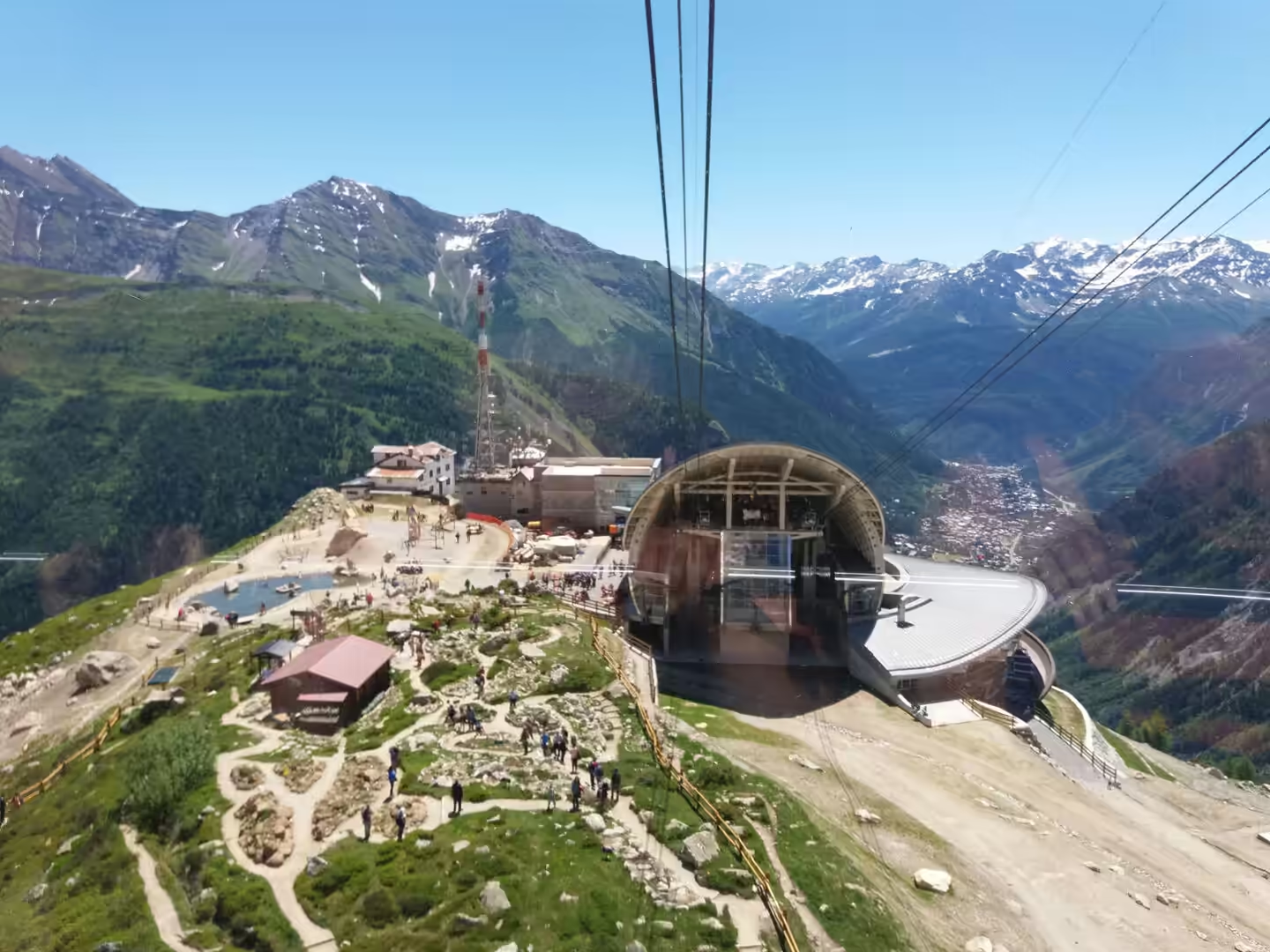
The Skyway is the main attraction of the day and needs to be booked in advance in the season. The lower station is at Entrèves above Courmayeur, the middle station at the Pavillon du Mont Fréty has a restaurant, a conference centre and a botanical garden with some nine hundred species of alpine plants, and the upper station is on the ridge at Pointe Helbronner at three thousand four hundred and sixty two metres. The cabins rotate on the way up and down, and the terraces at the top look onto the glacier, the massif and the French side of the mountain.
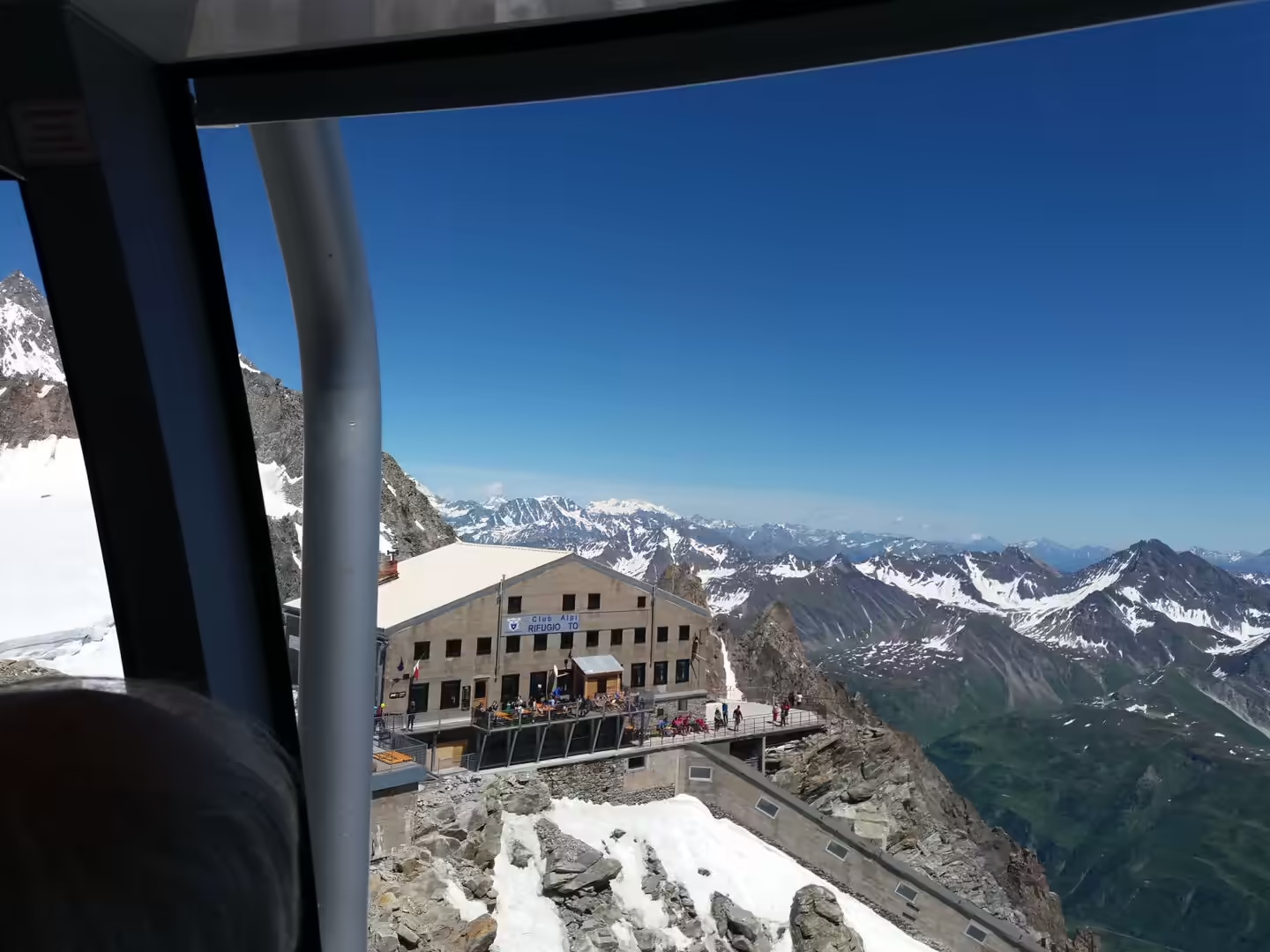
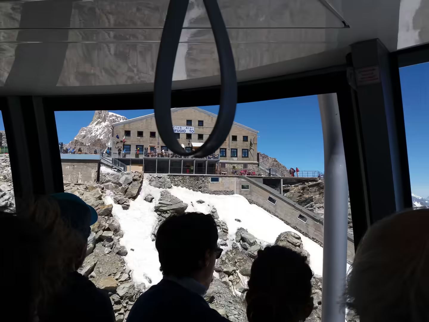
The mountain refuge below the upper station is the other place to spend time. The Rifugio Torino belongs to the Italian alpine club, it stands on the rocky ridge at the edge of the glacier, and it serves food and beds to the mountaineers who use the ridge as the starting point for the routes on the massif. Visitors who have come up by cable car can walk across to it in a few minutes on the snow, and the terrace of the refuge is the best place to watch the parties setting off toward the summit or the Grandes Jorasses.
The descent can be made by cable car to Courmayeur or over the glacier to Chamonix, and either way the middle station is worth a stop. The botanical garden at the Pavillon is a serious collection arranged by altitude and habitat, and the trails from the station run through the meadows above the tree line with views of the valley below. It is the easiest place in the region to see the alpine flora that the walkers on the longer routes take days to reach.
The castles are the counterpoint to the mountains and can be visited on the same day. Fénis is the best known, with its double walls, its painted courtyard and its towers, and it has a museum that explains the life of a medieval household in the valley. The other castles of the region, at Issogne, Verrès, Sarre and elsewhere, are within an hour of each other by car or bus, and the castle trail of the valley is a well-organised introduction to the history of a region that was, for several centuries, one of the most strategic corners of the Alps.
Practical advice for the cable car day is worth setting down. The Skyway runs from Entrèves, a few minutes above Courmayeur, and the tickets are best bought in advance because the numbers on the upper station are limited. The temperature at the top can be below freezing while the valley is at twenty five degrees, so warm clothing, sunglasses and sun cream all belong in the day bag. The station is at three and a half thousand metres and the altitude is felt by anyone who has come up from sea level the day before, which is a reason to take the ascent slowly.
References
- Wikipedia contributors (2026). Mont Blanc. en.wikipedia.org/wiki/Mont%20Blanc
- Wikipedia contributors (2026). Skyway Monte Bianco. en.wikipedia.org/wiki/Skyway%20Monte%20Bianco
- Wikipedia contributors (2026). Punta Helbronner. en.wikipedia.org/wiki/Punta%20Helbronner
- Wikipedia contributors (2026). Courmayeur. en.wikipedia.org/wiki/Courmayeur
- Wikipedia contributors (2026). Mont Blanc Tunnel. en.wikipedia.org/wiki/Mont%20Blanc%20Tunnel
- Wikipedia contributors (2026). Grandes Jorasses. en.wikipedia.org/wiki/Grandes%20Jorasses
- Wikipedia contributors (2026). Matterhorn. en.wikipedia.org/wiki/Matterhorn
- Wikipedia contributors (2026). Breuil-Cervinia. en.wikipedia.org/wiki/Breuil-Cervinia
- Wikipedia contributors (2026). Fénis Castle. en.wikipedia.org/wiki/F%C3%A9nis%20Castle
- Wikipedia contributors (2026). Aosta. en.wikipedia.org/wiki/Aosta
- Wikipedia contributors (2026). Aosta Valley. en.wikipedia.org/wiki/Aosta%20Valley
- Wikipedia contributors (2026). Alps. en.wikipedia.org/wiki/Alps
- Wikipedia contributors (2026). Glacier. en.wikipedia.org/wiki/Glacier
- Wikipedia contributors (2026). Arch of Augustus (Aosta). en.wikipedia.org/wiki/Arch%20of%20Augustus%20%28Aosta%29
- Wikipedia contributors (2026). Great St Bernard Pass. en.wikipedia.org/wiki/Great%20St%20Bernard%20Pass
- (ohne Angabe) (1910) Proposed Mont Blanc Tunnel. Scientific American. 70. 05-05. doi.org/10.1038/scientificamerican07021910-05bsupp
- Vuilleumier F., Weatherill A., Crausaz B. (2002) Safety aspects of railway and road tunnel: example of the Lötschberg railway tunnel and Mont-Blanc road tunnel. Tunnelling and Underground Space Technology. 17. 153-158. doi.org/10.1016/s0886-7798(02)00018-4
- Guillon H., Mugnier J., Buoncristiani J. (2018) Proglacial sediment dynamics from daily to seasonal scales in a glaciated Alpine catchment (Bossons glacier, Mont Blanc massif, France). Earth Surface Processes and Landforms. 43. 1478-1495. doi.org/10.1002/esp.4333
- Schaltegger U., Gebauer D., von Quadt A. (2002) The mafic-ultramafic rock association of Loderio-Biasca (lower Pennine nappes, Ticino, Switzerland): Cambrian oceanic magmatism and its bearing on early Paleozoic paleogeography. Chemical Geology. 186. 265-279. doi.org/10.1016/s0009-2541(02)00005-0