2017 Sydney I 3

















Journal Notes
General
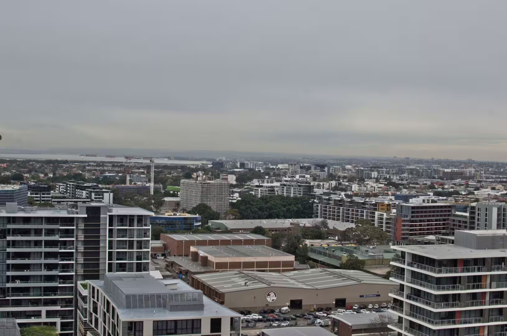
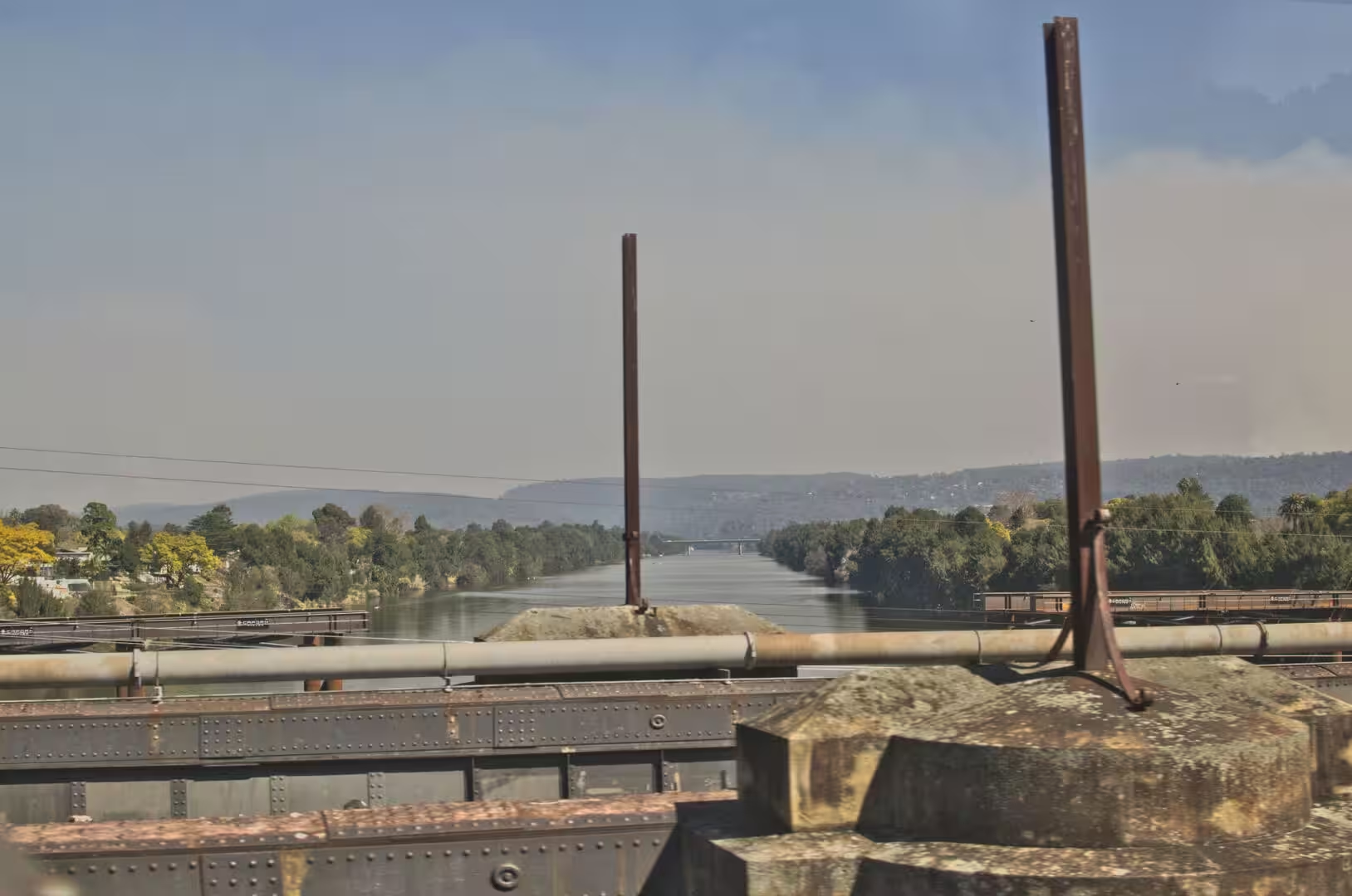
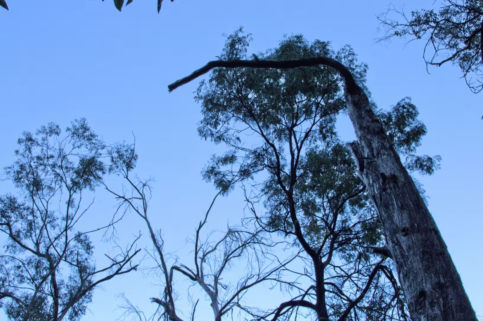
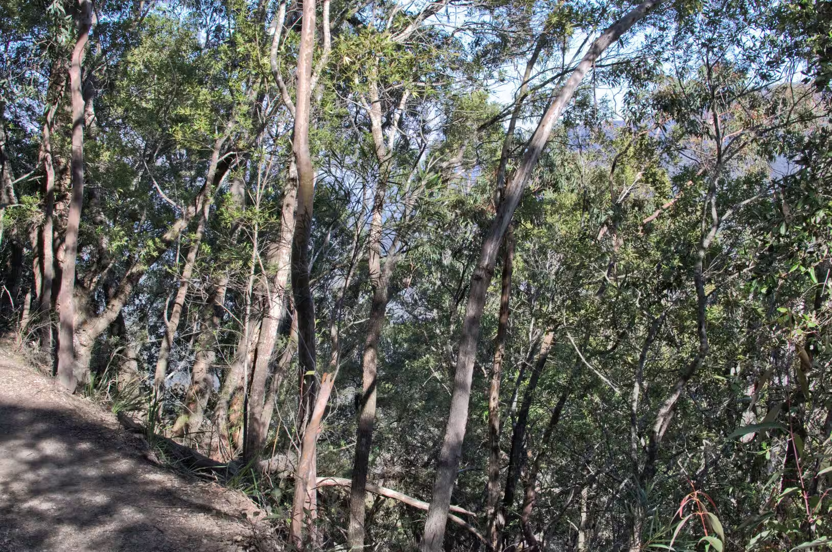
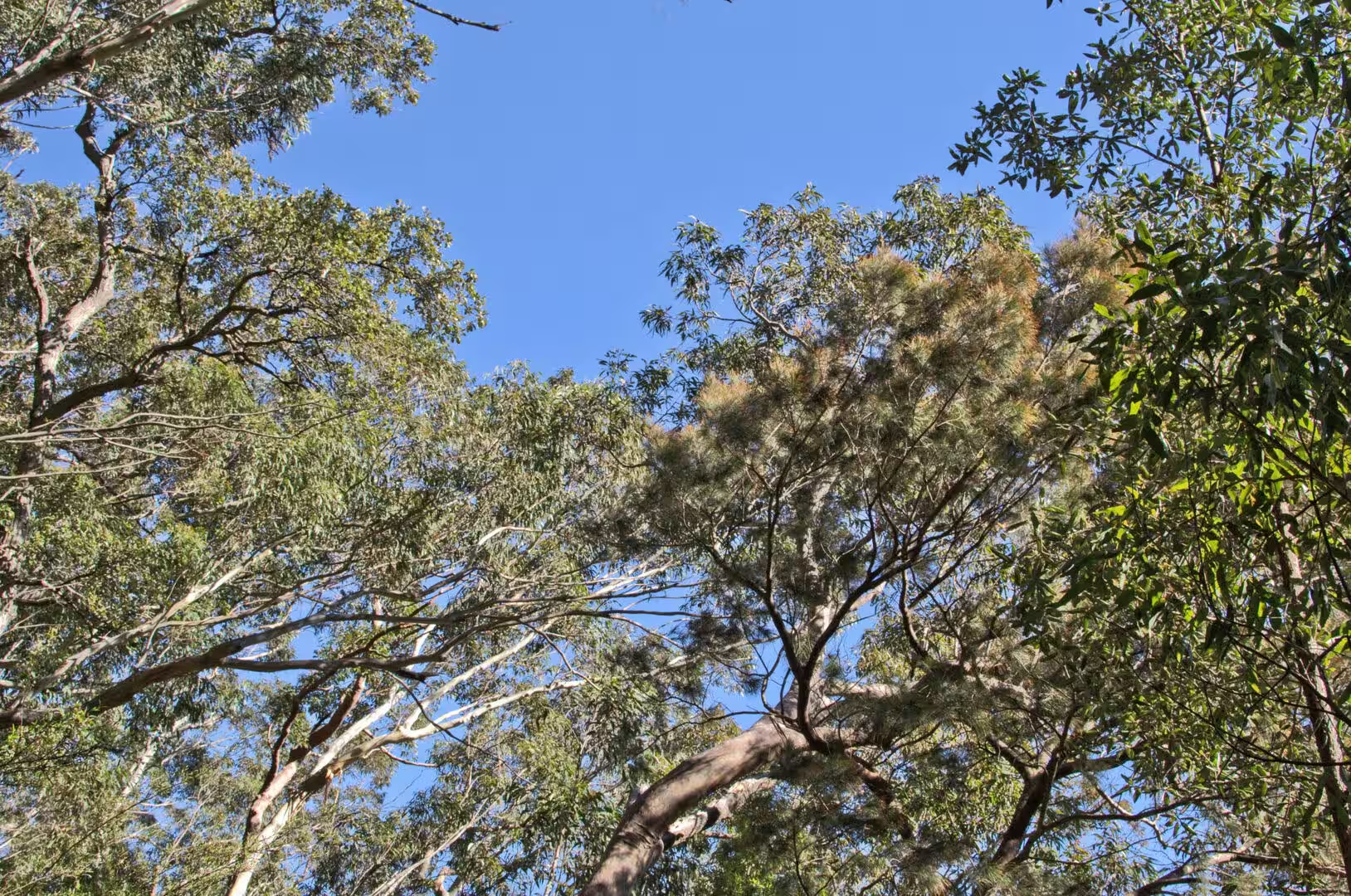
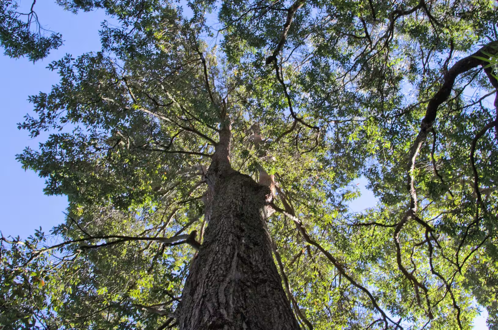
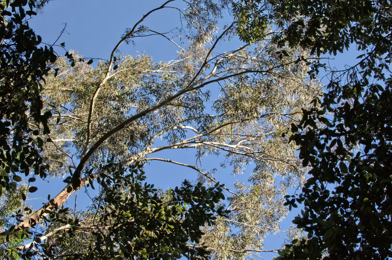
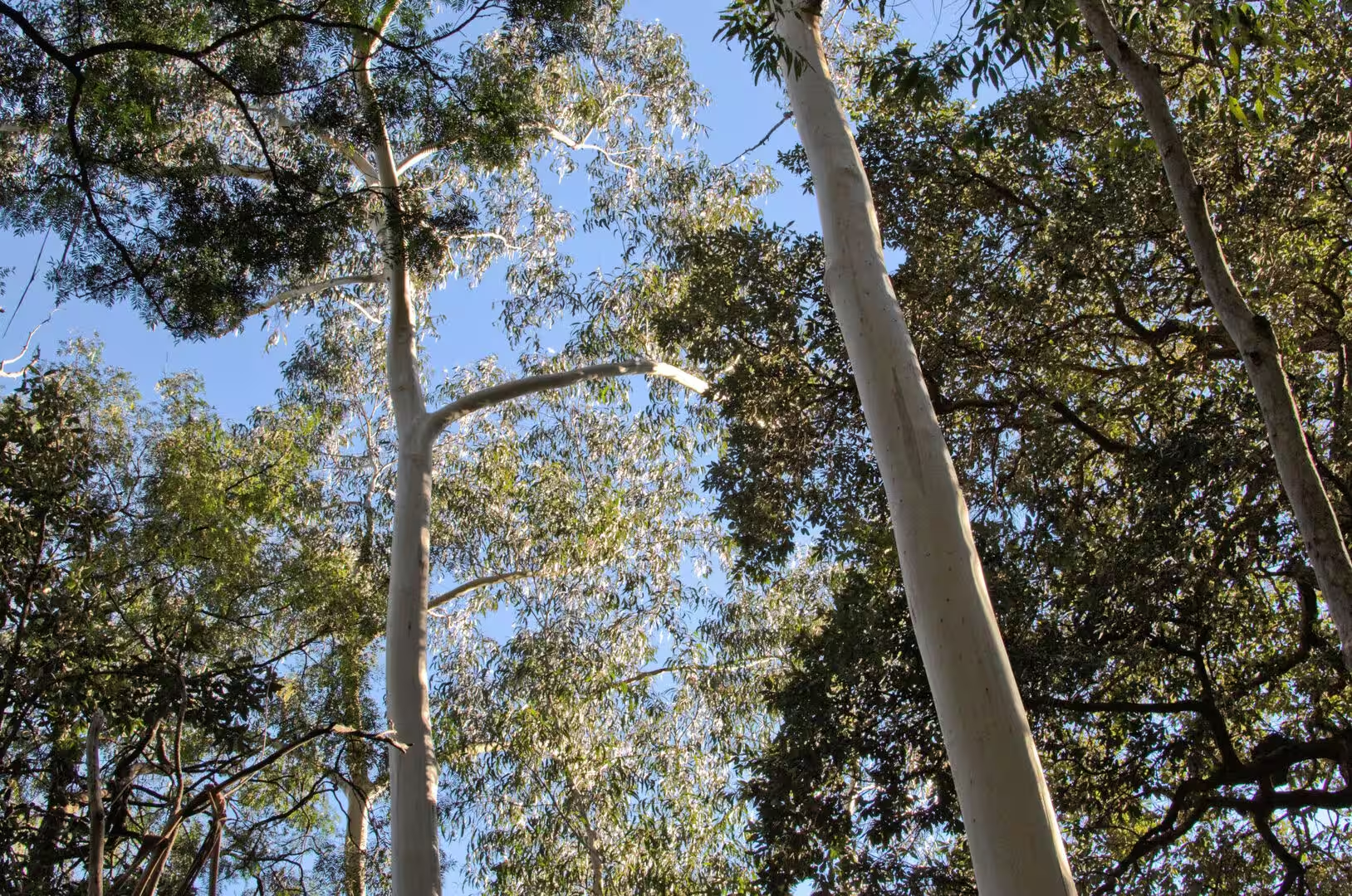
The third day went west, to the mountains. The train or the road leaves the city through the suburbs, crosses the flat ground of the Cumberland Plain, and then begins to climb the escarpment at a place where the highway and the railway run side by side up the slope. Within an hour of leaving the towers behind, the country is eucalyptus forest, the air is cooler, and the horizon is a wall of cliffs.
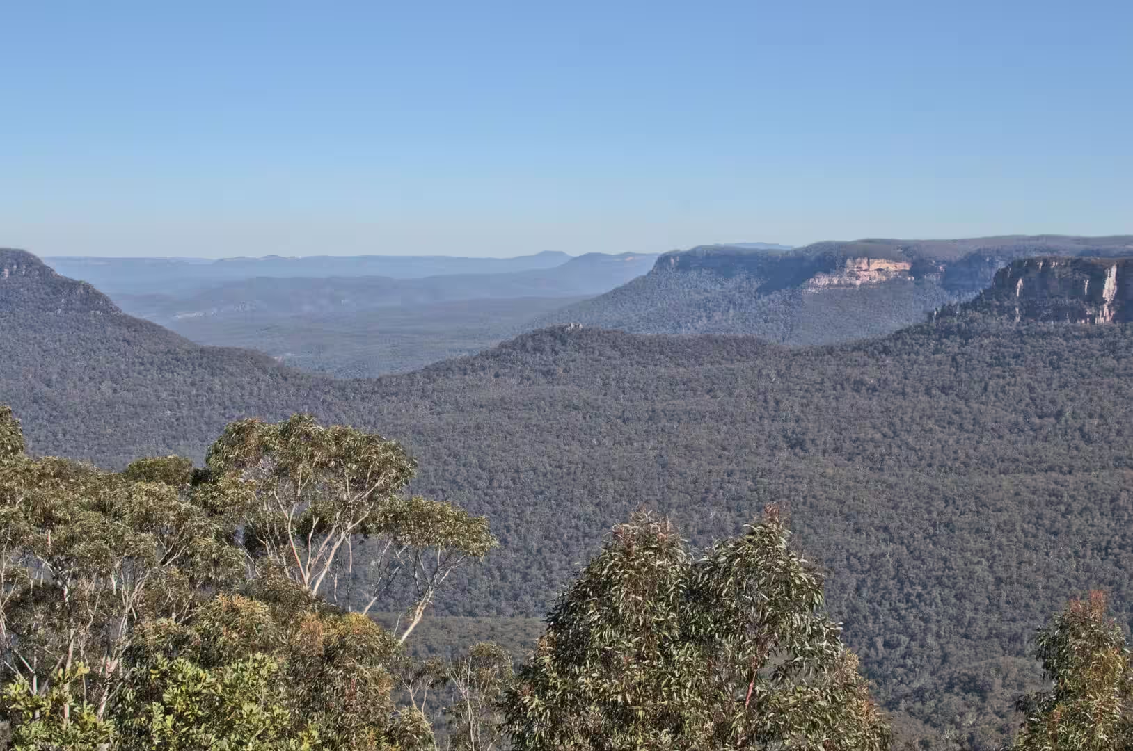
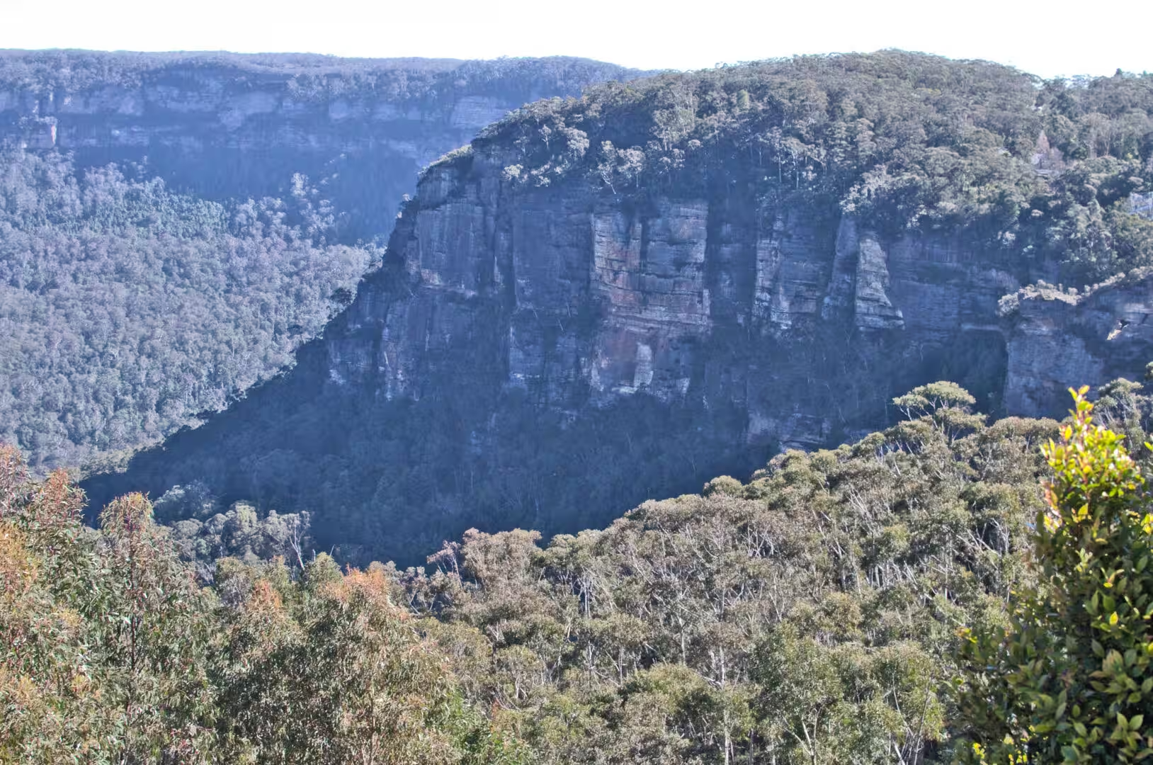
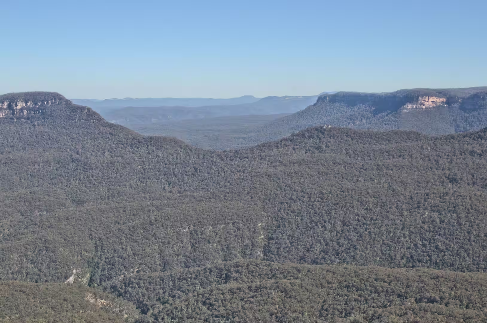
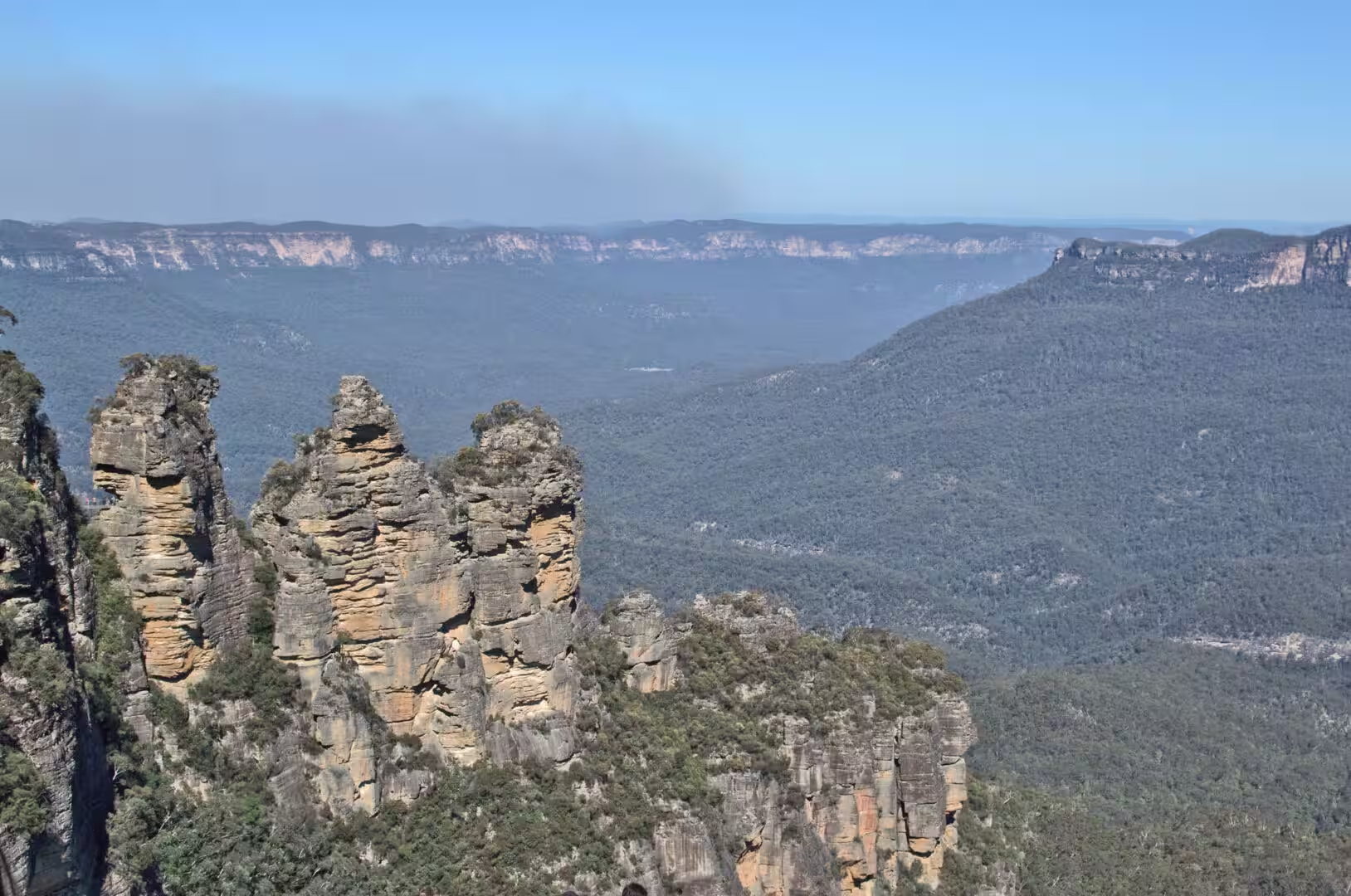
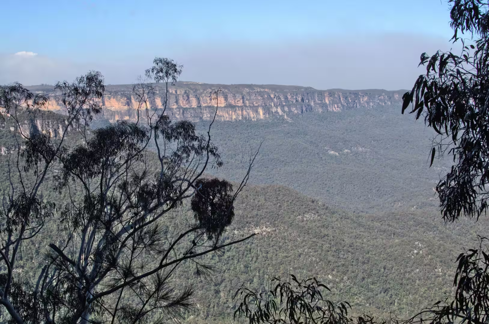
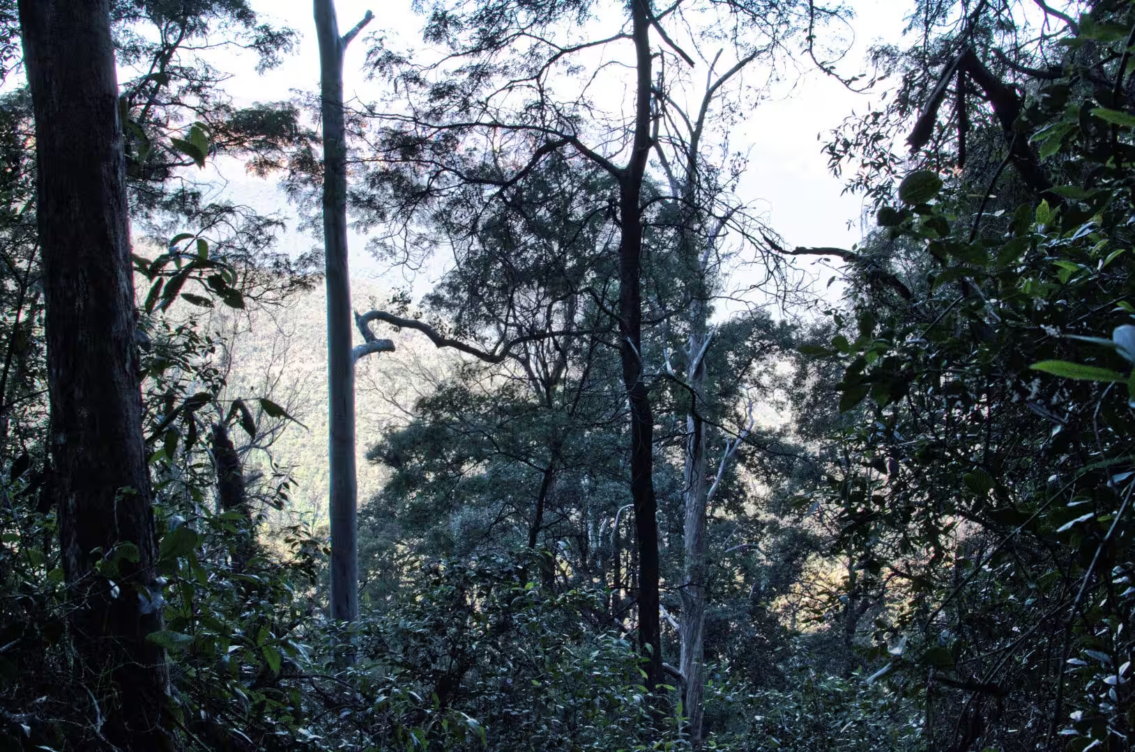
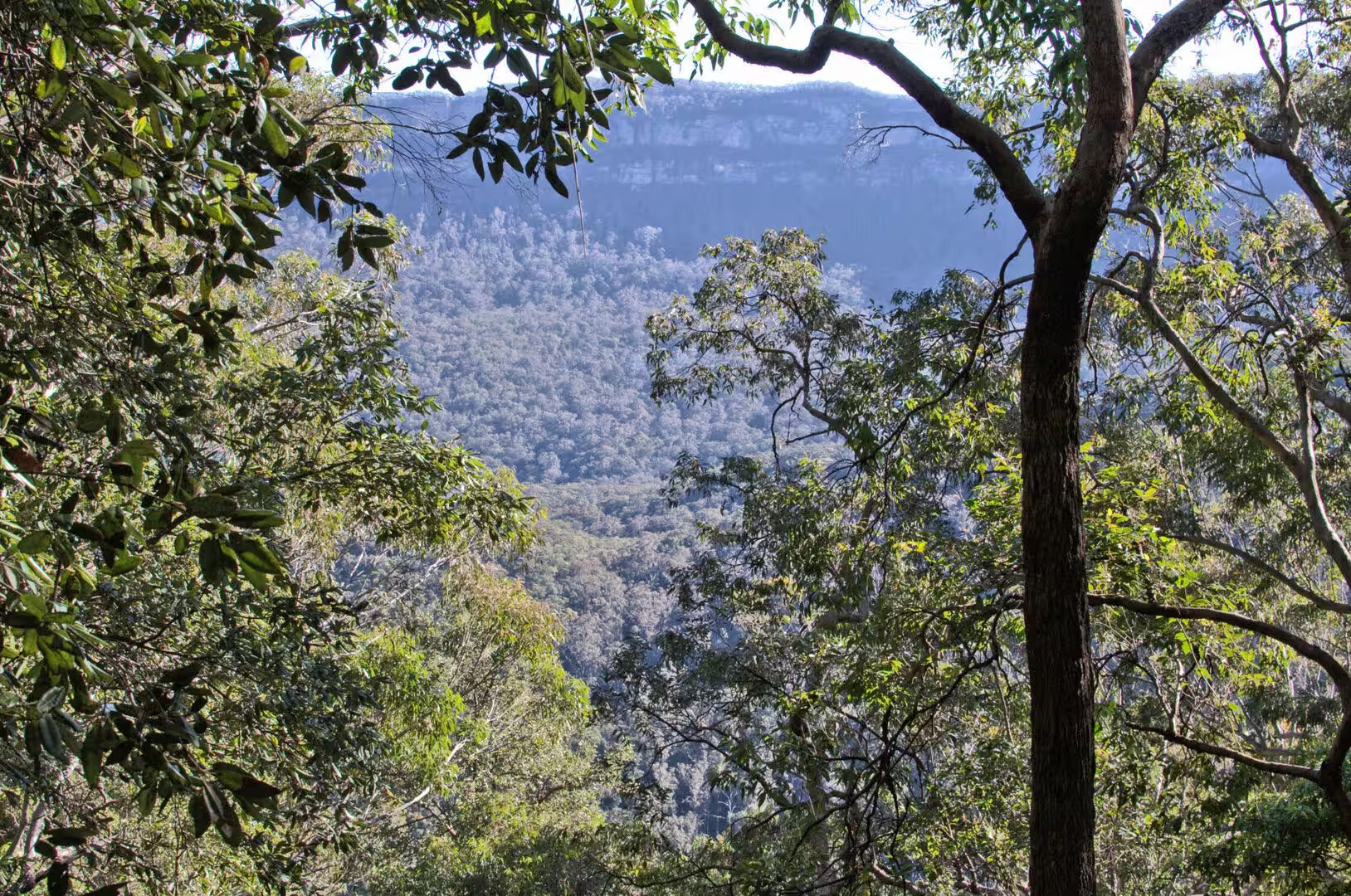
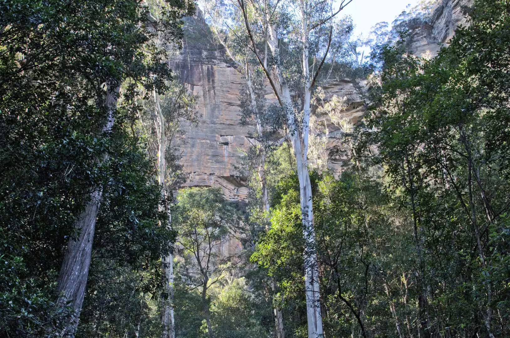
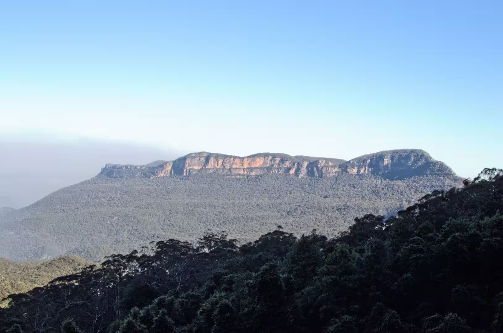
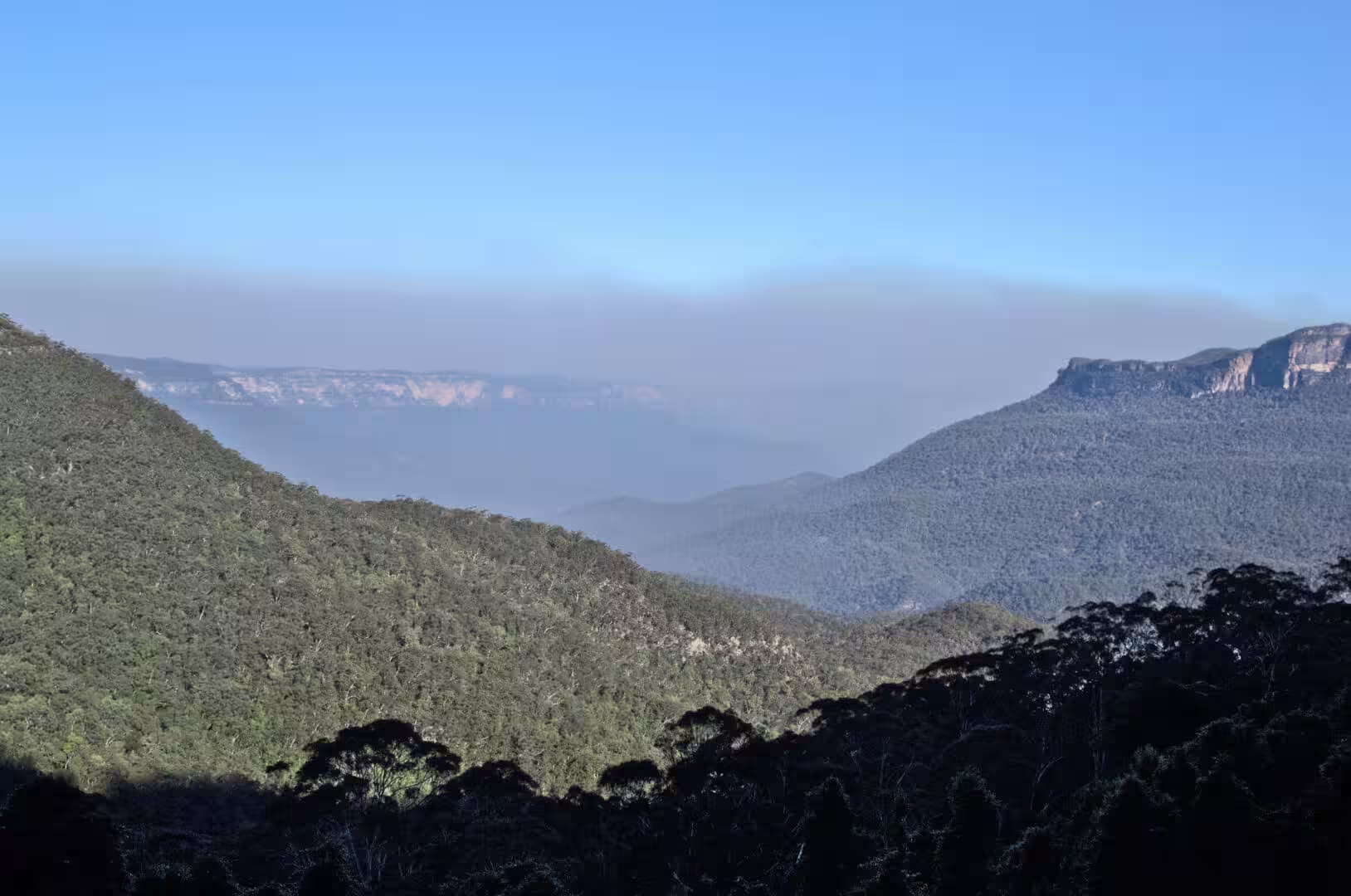
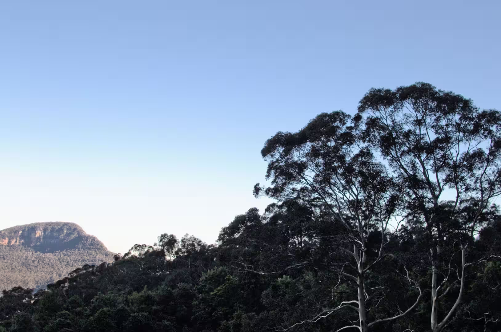
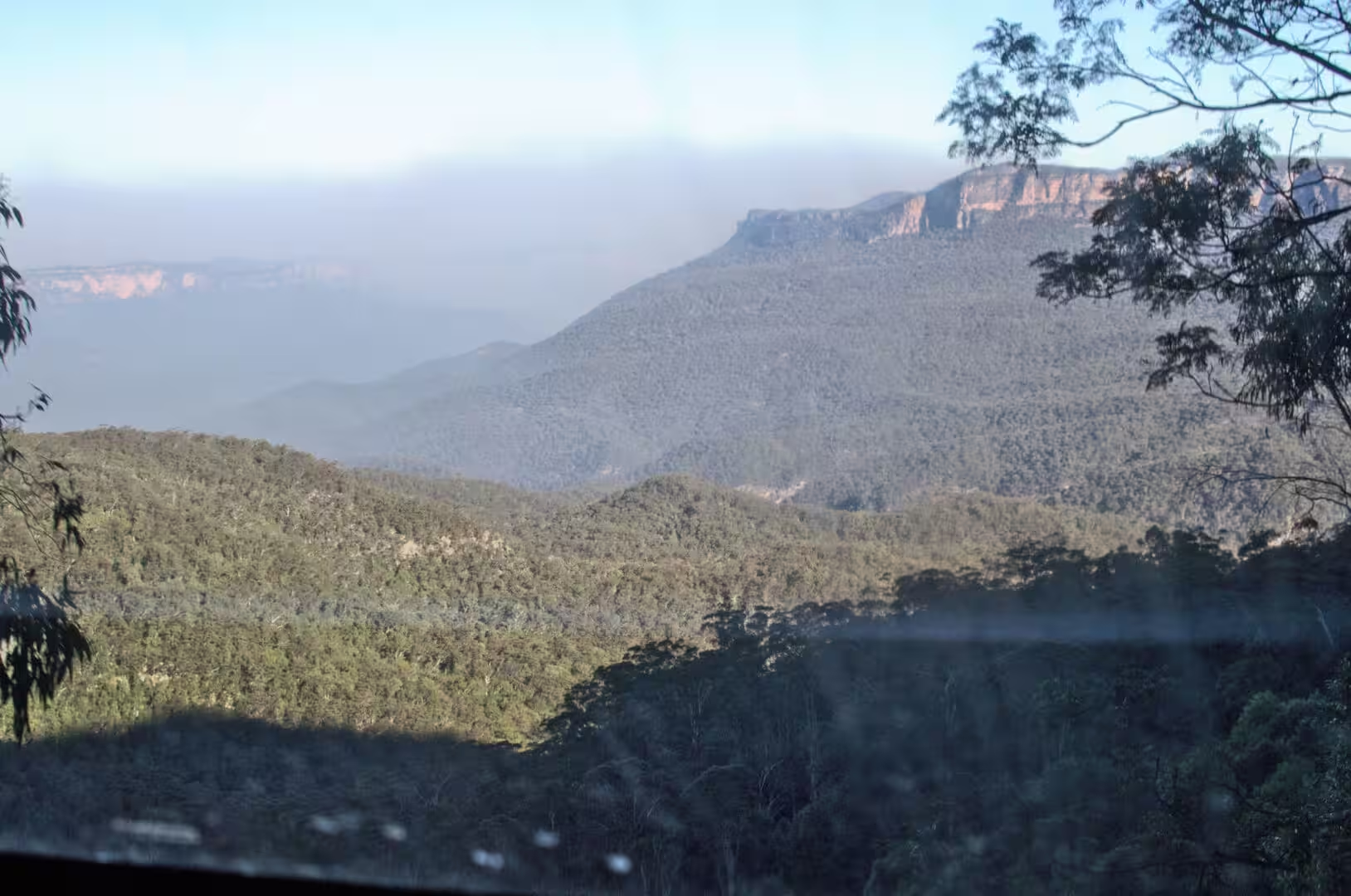
The mountains are not a single range but the dissected edge of a plateau, and the way to see them is from the top of that edge. At Katoomba a road leads to the escarpment viewpoints, and from the lookout the Jamison Valley falls away below with the forest covering the floor of it and the cliffs standing out on every side. The three sandstone pillars that stand in the gap are the reason most visitors come, and they are as strange in reality as they are in the accounts: three separate towers of rock, isolated from the ridge by the erosion that has been working on their joints.
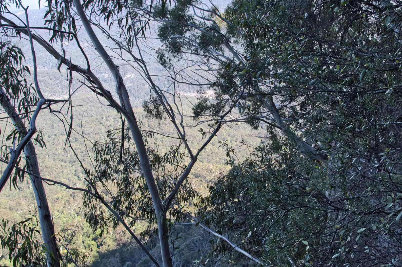
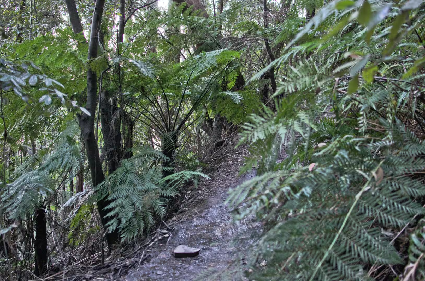
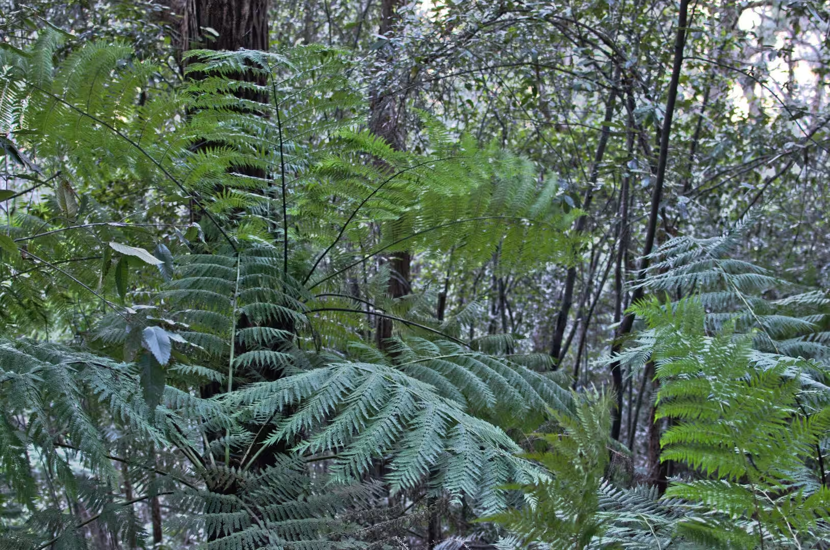
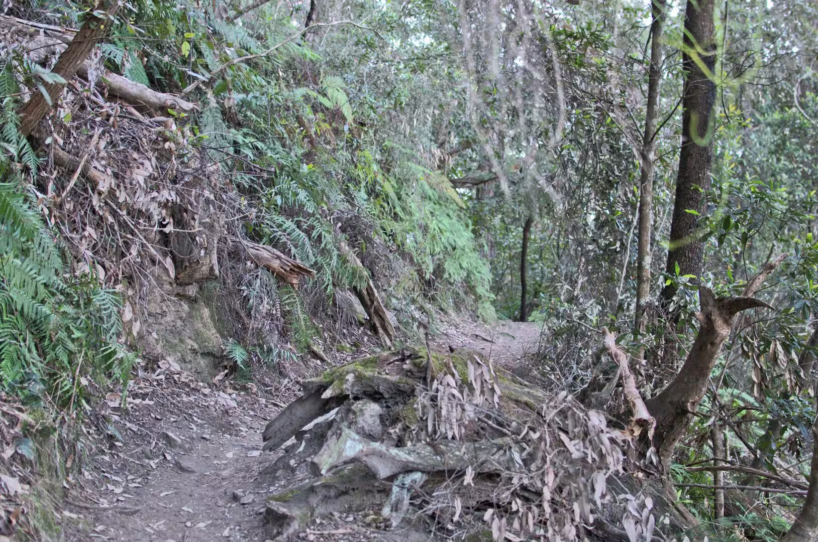
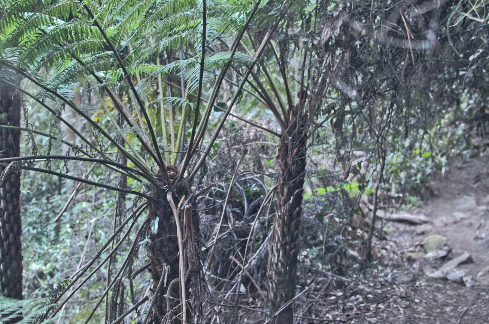
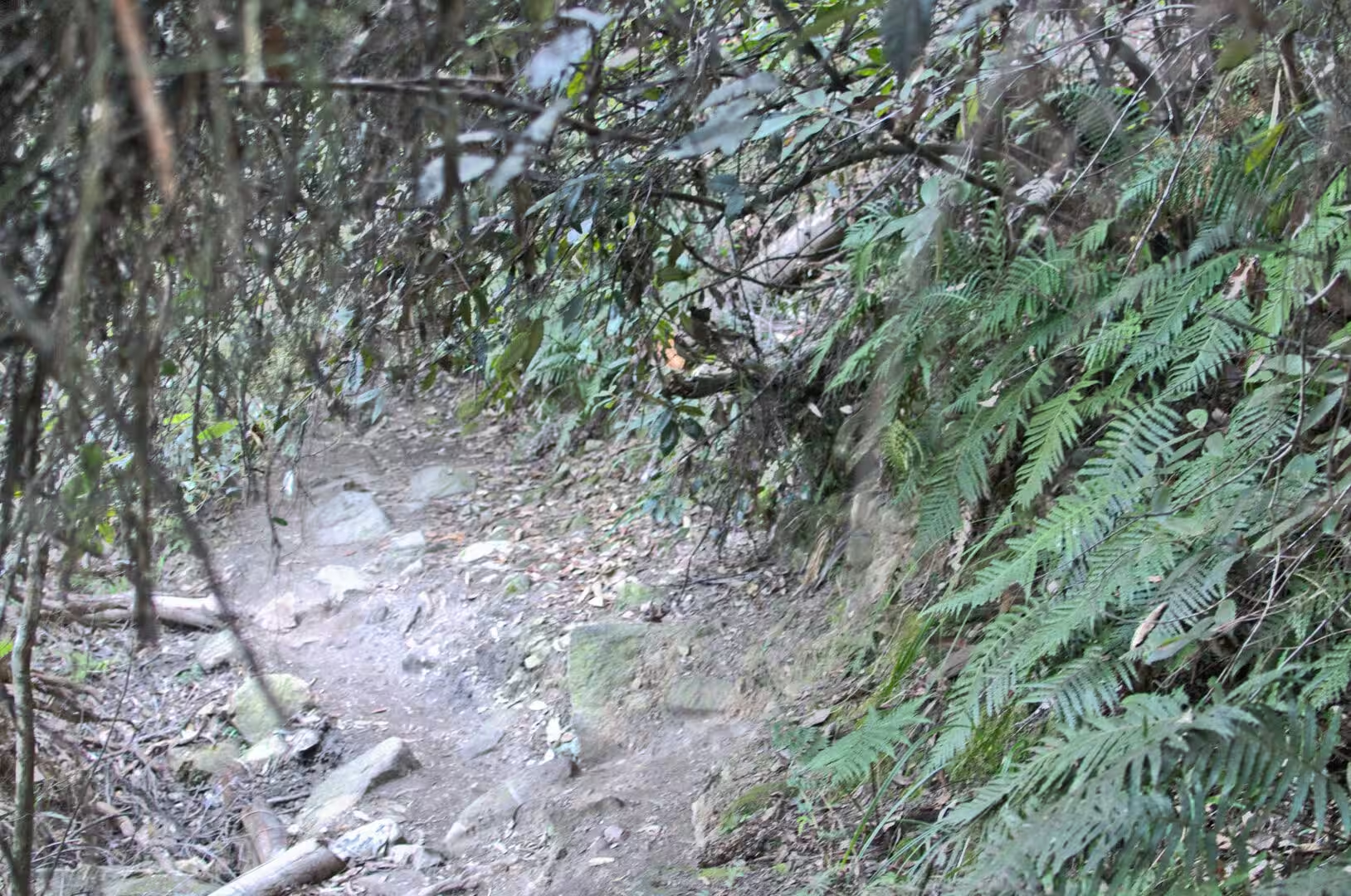
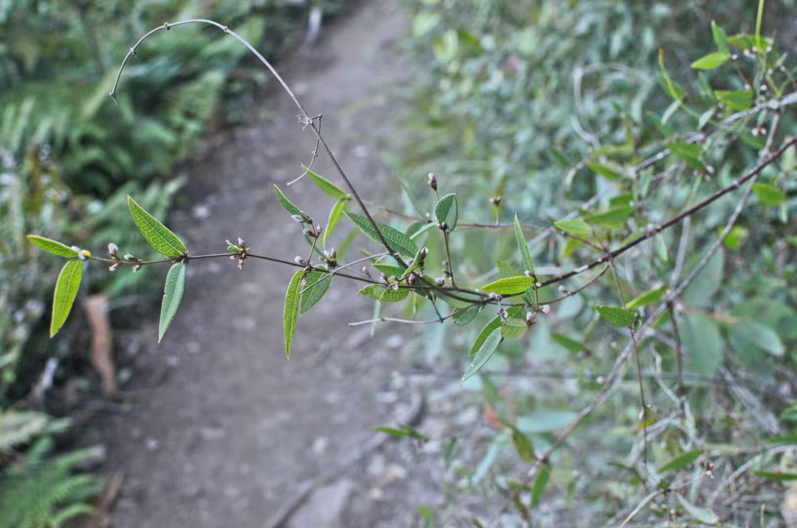
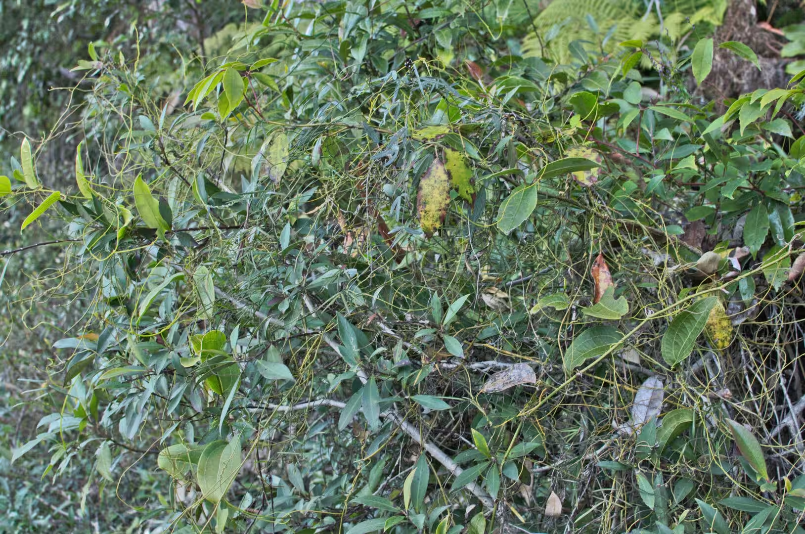
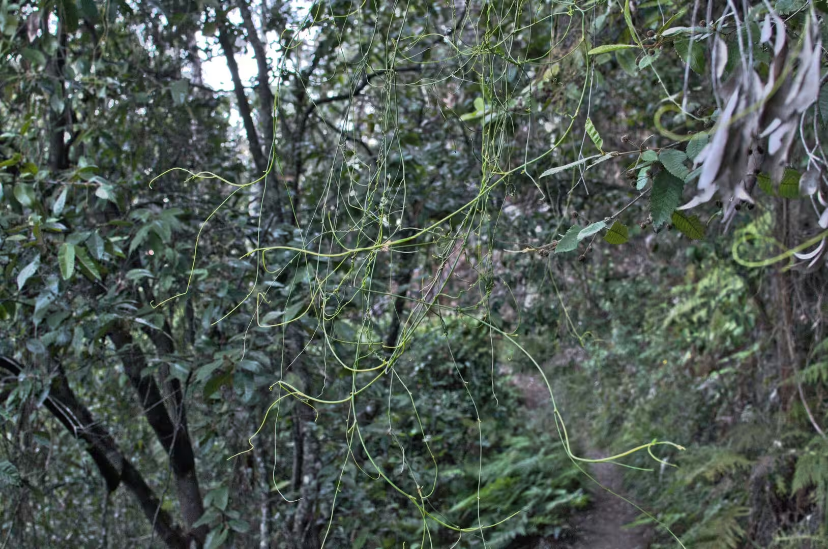
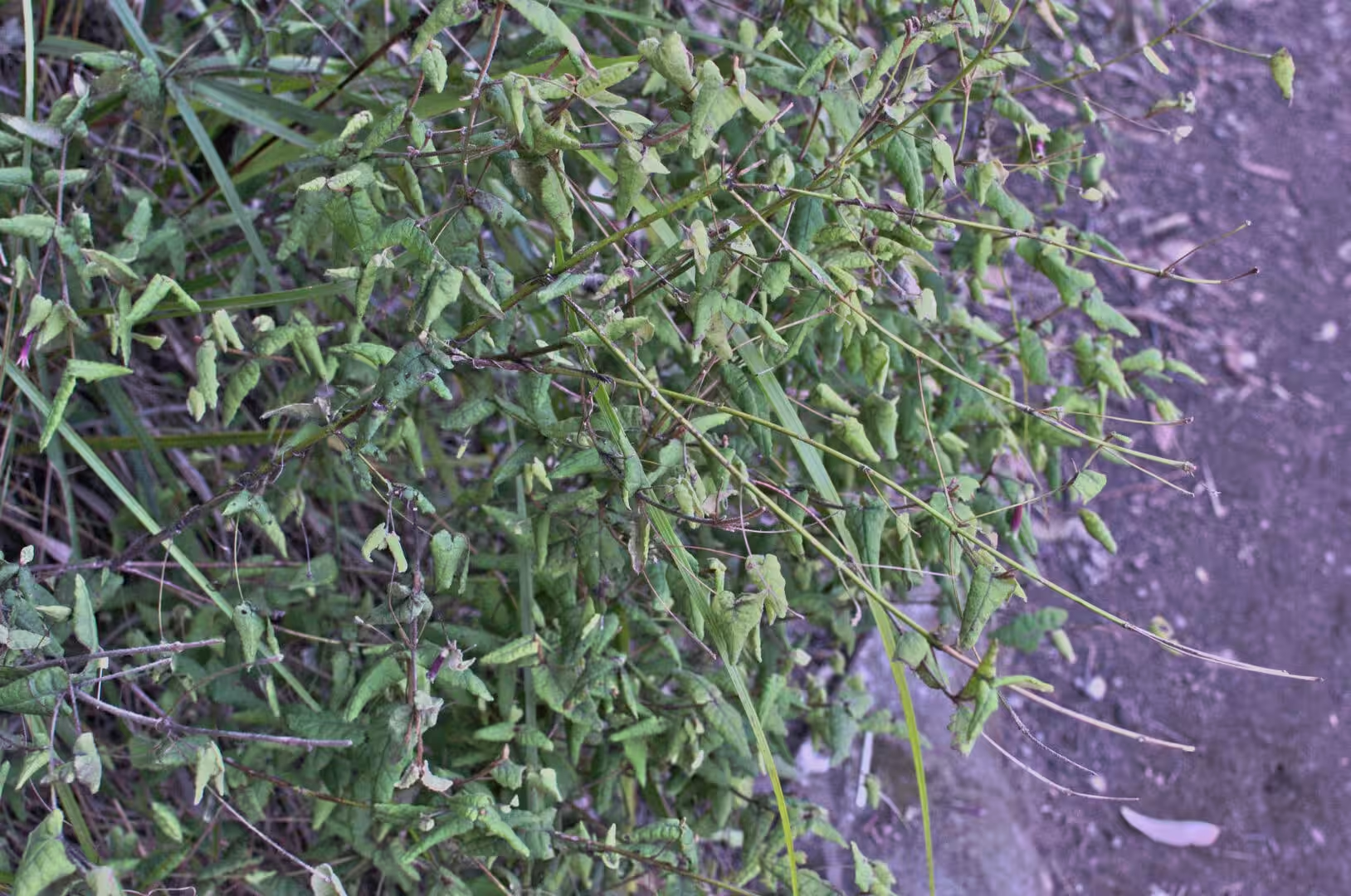
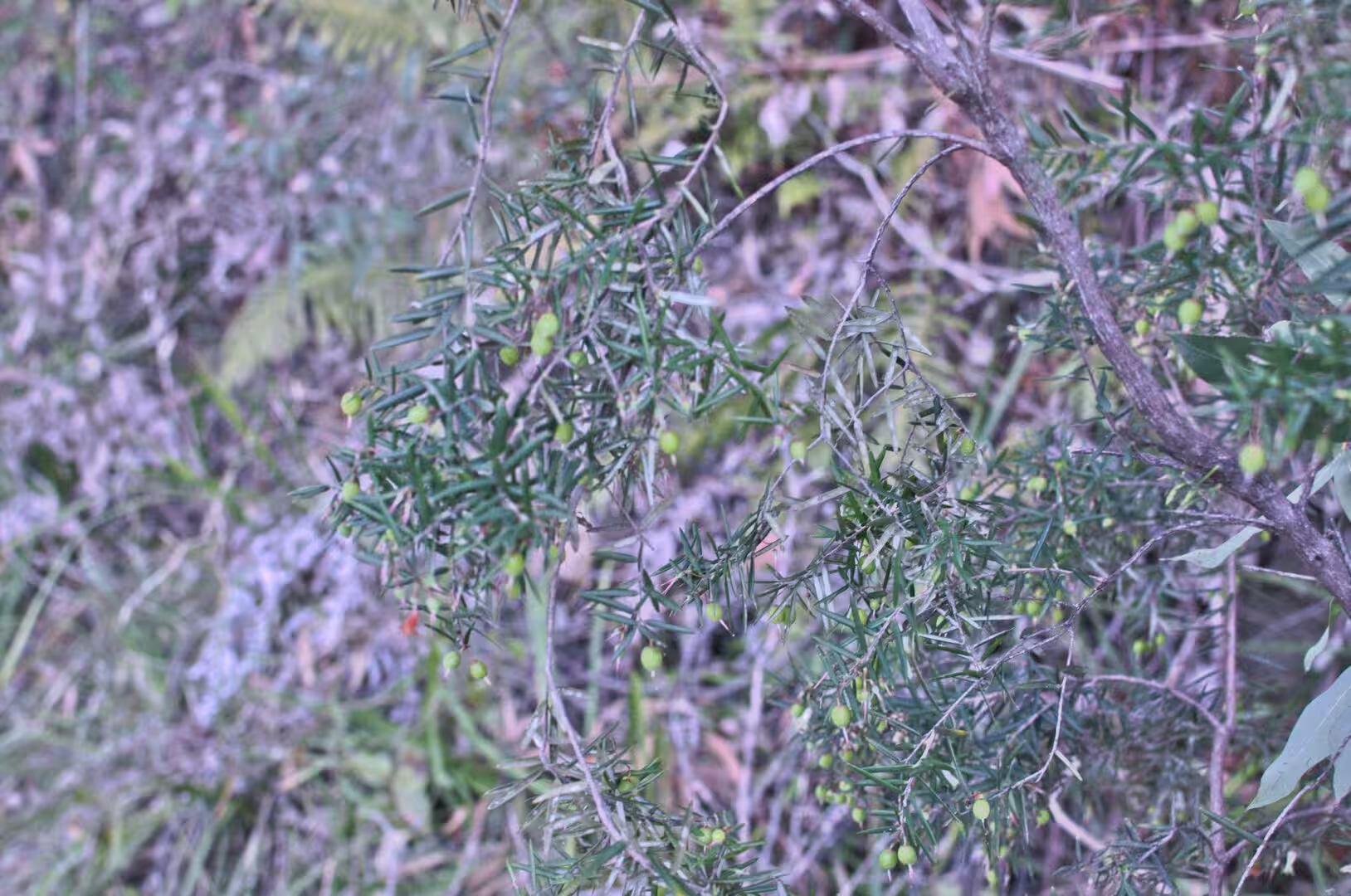
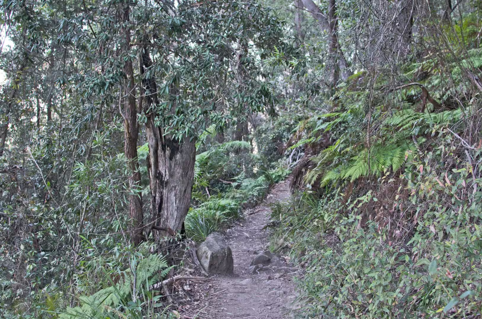
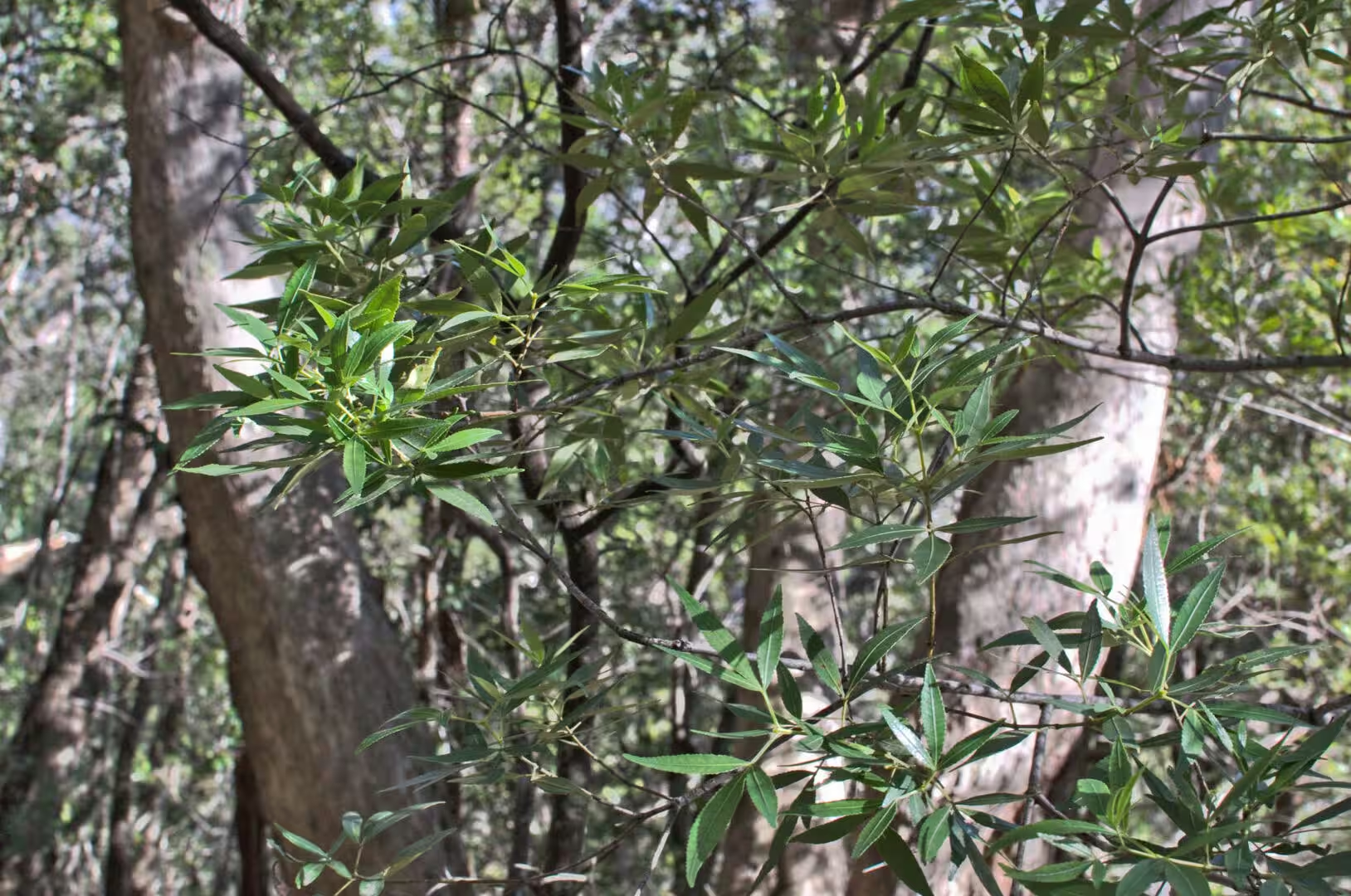
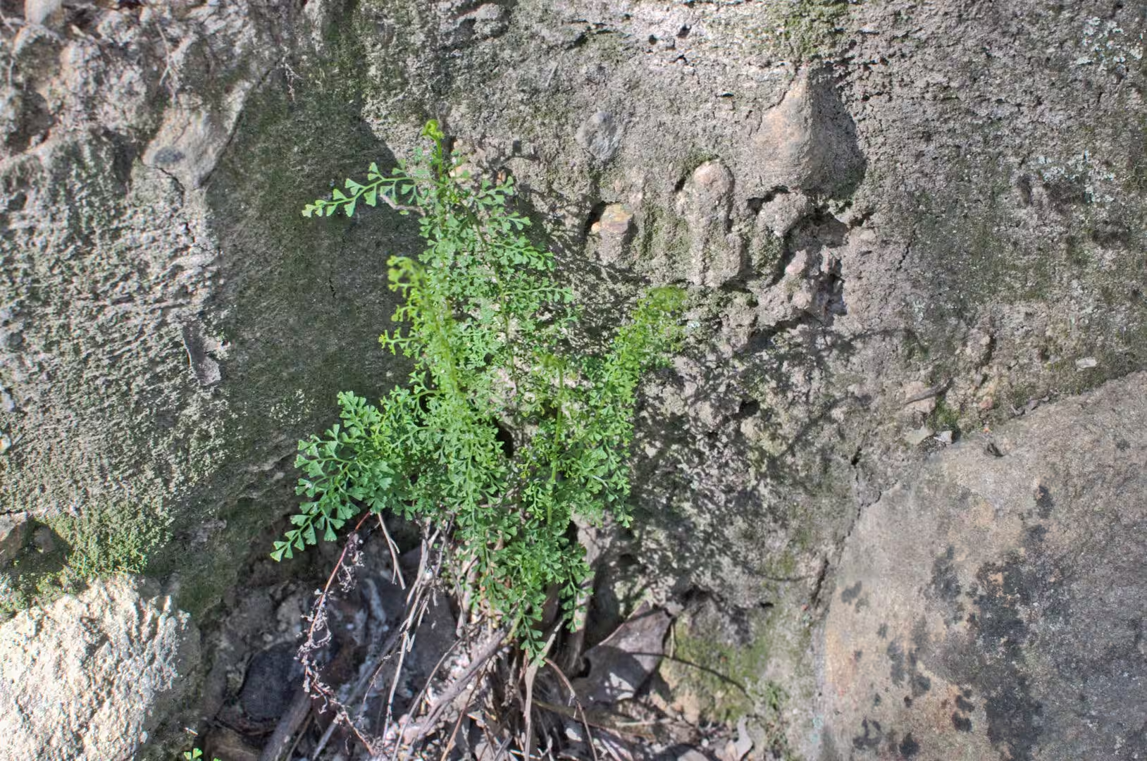
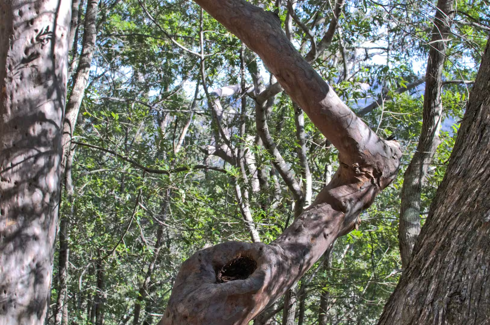
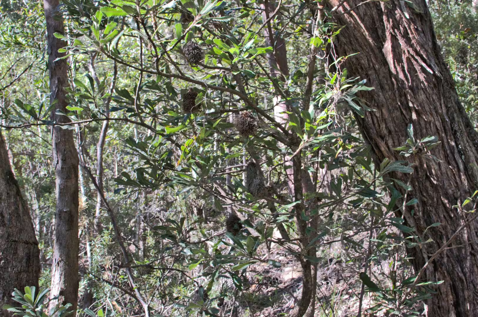
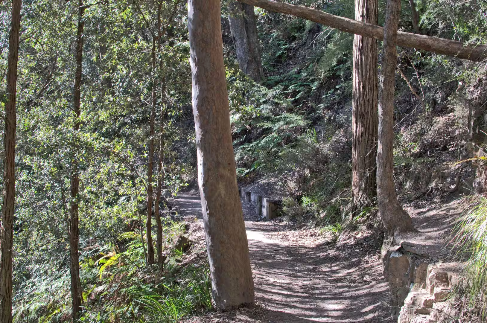
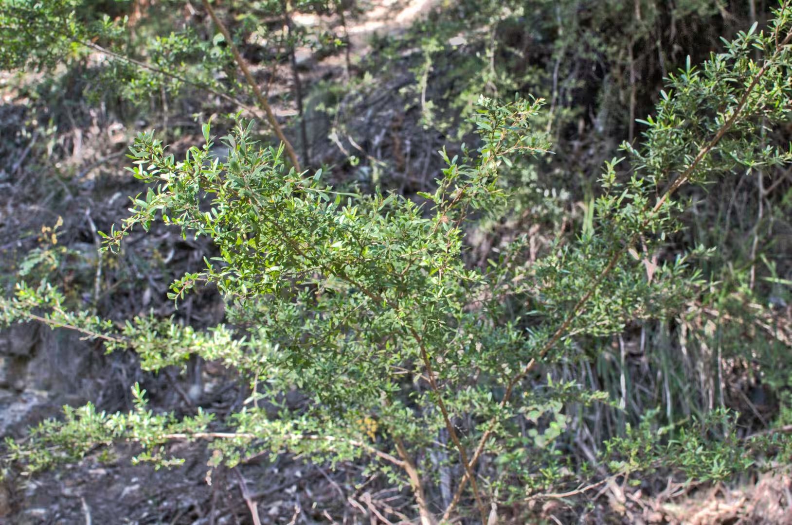
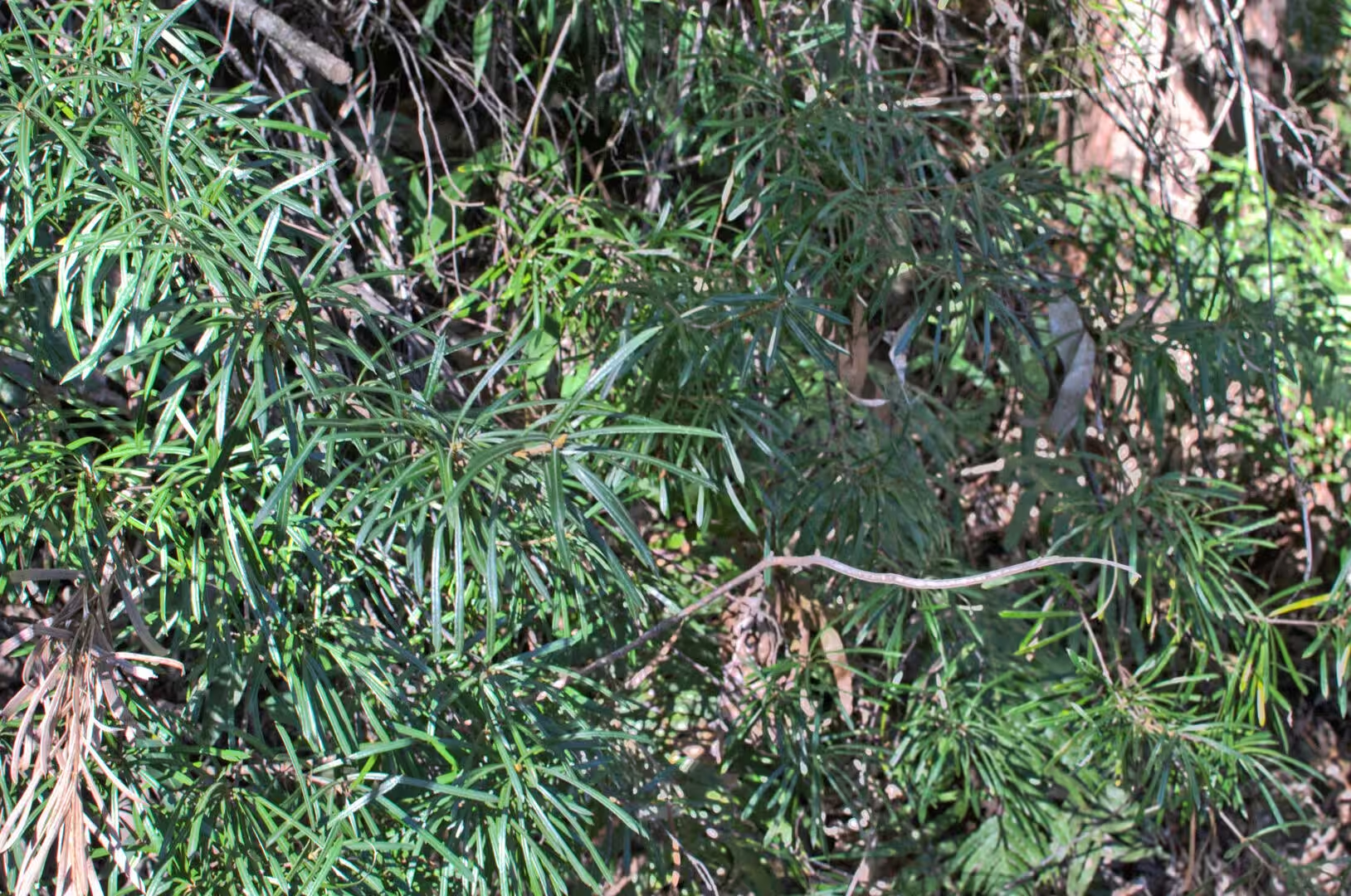
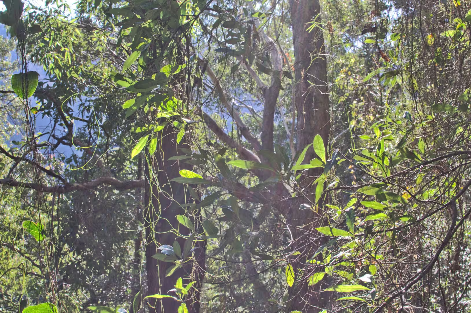
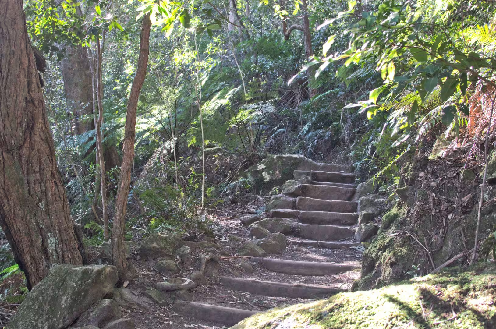
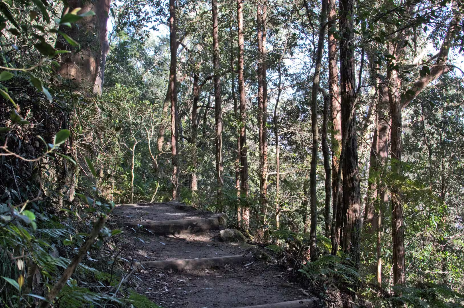
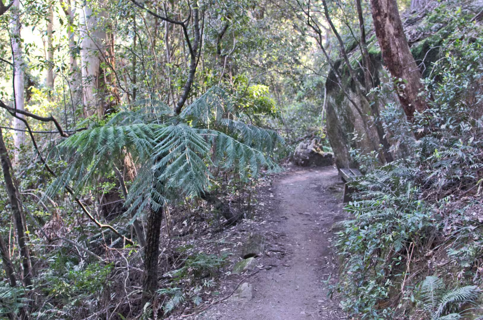
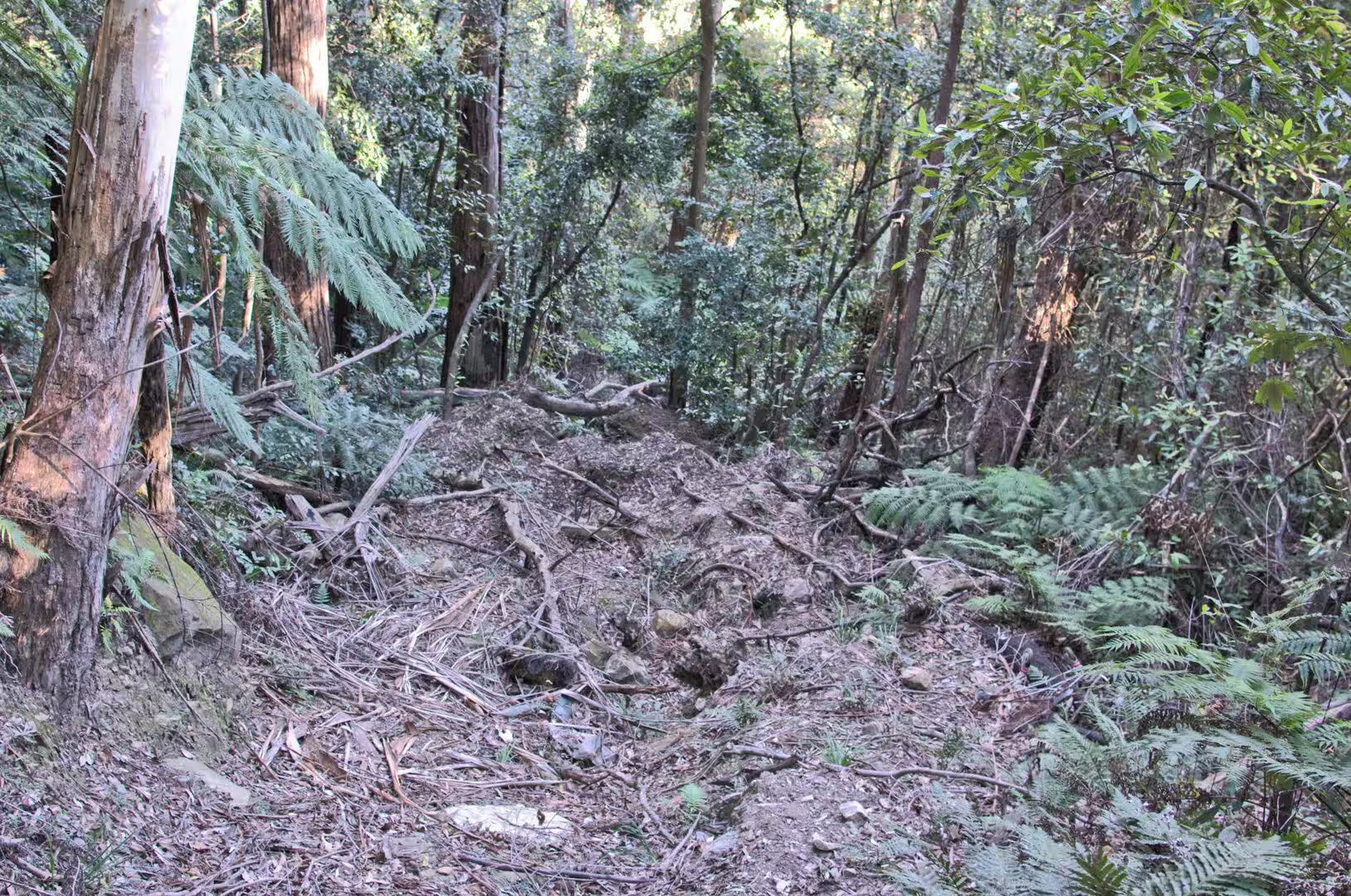
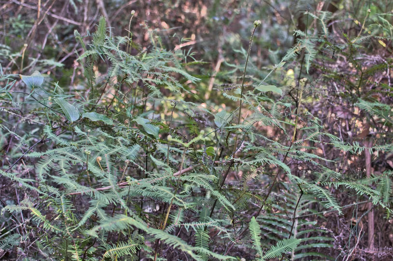
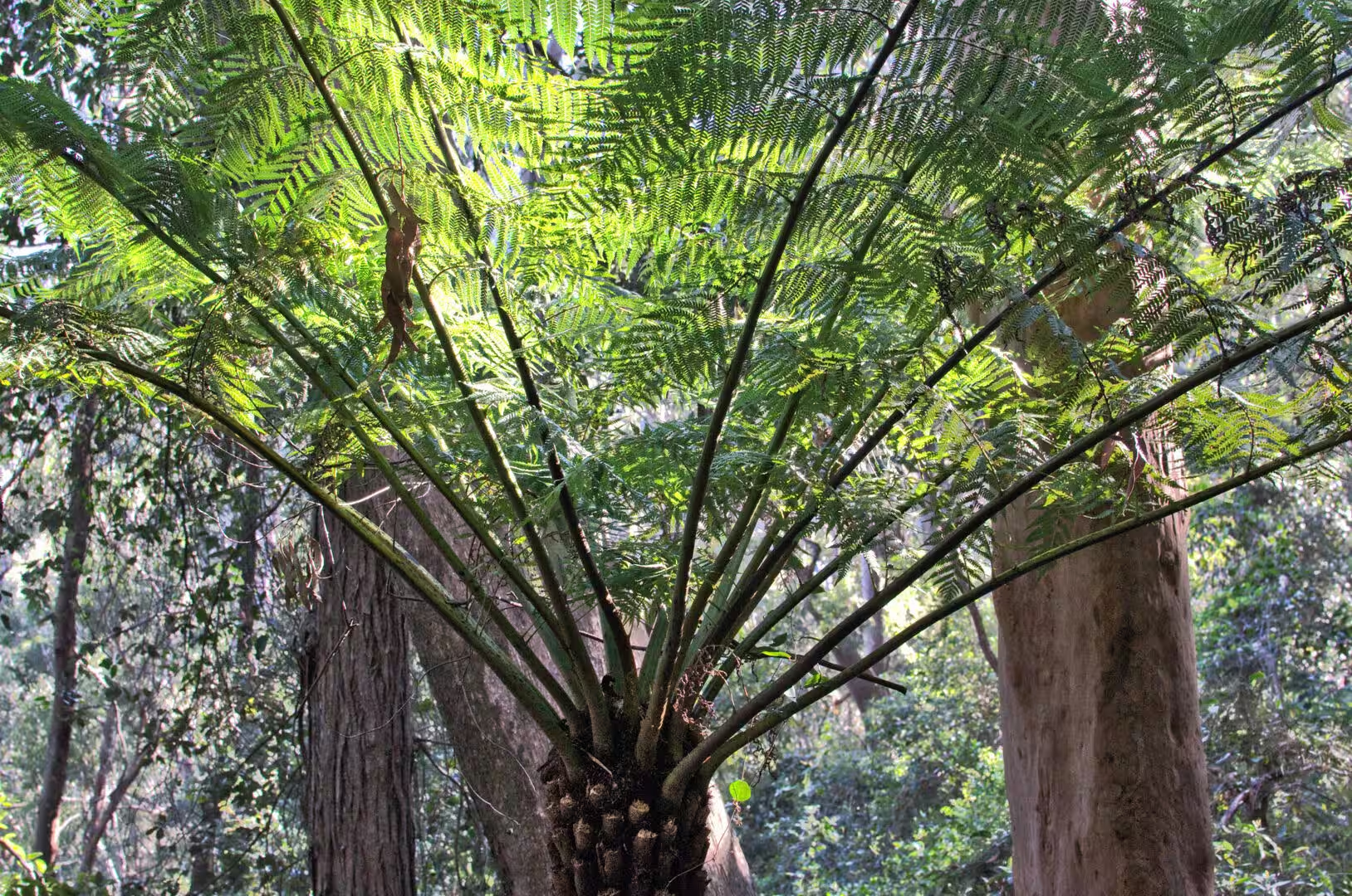
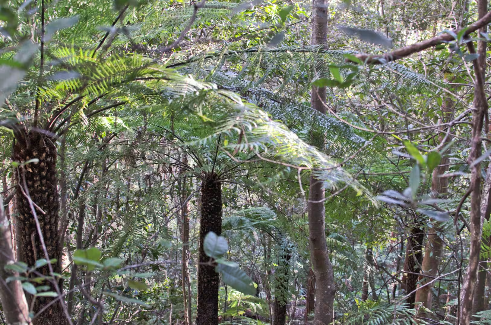
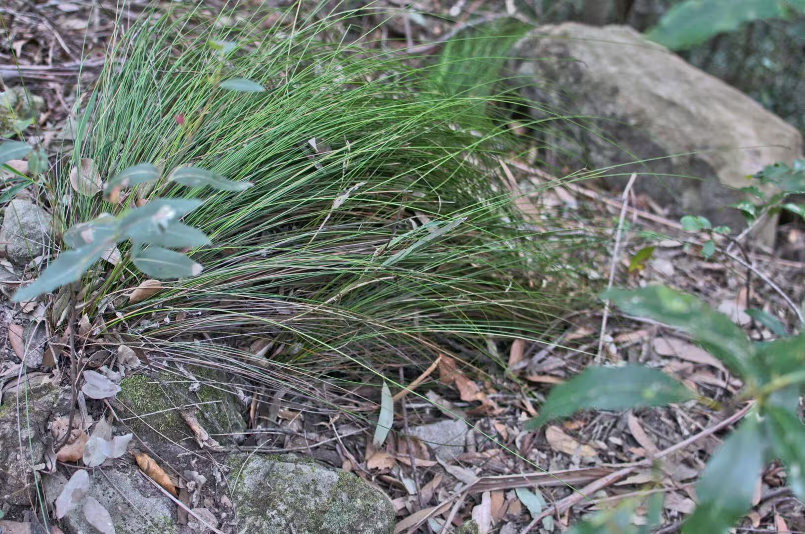
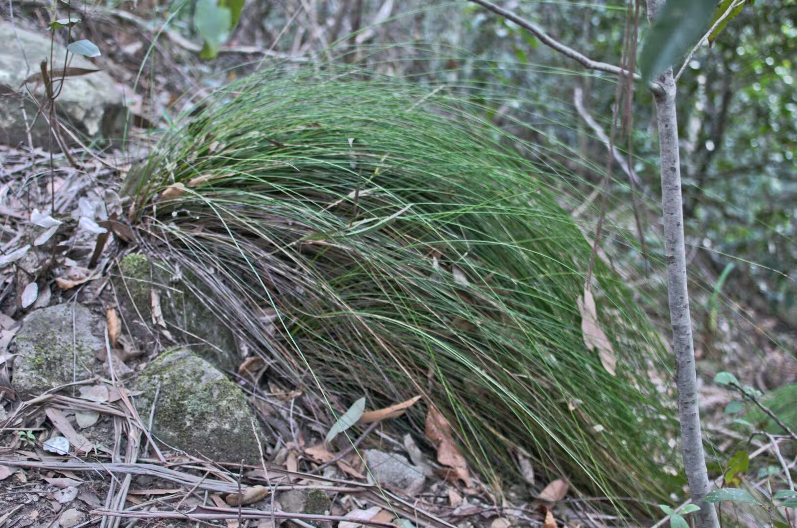
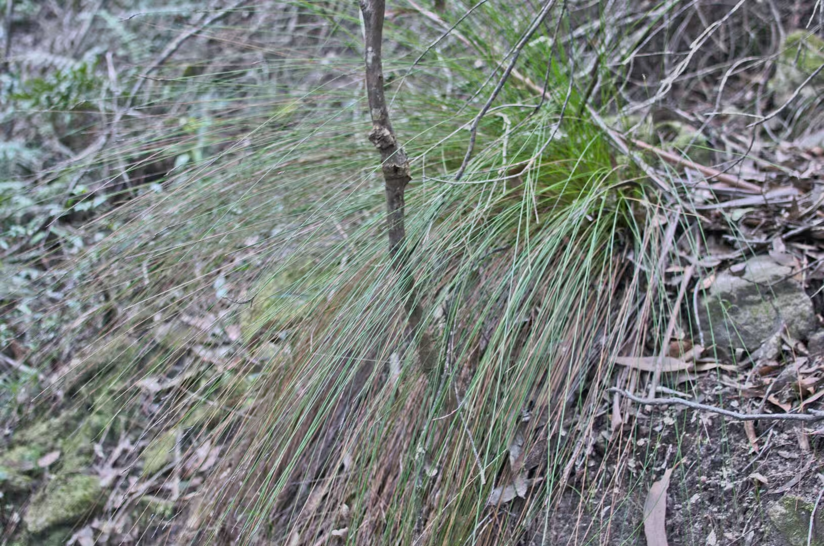
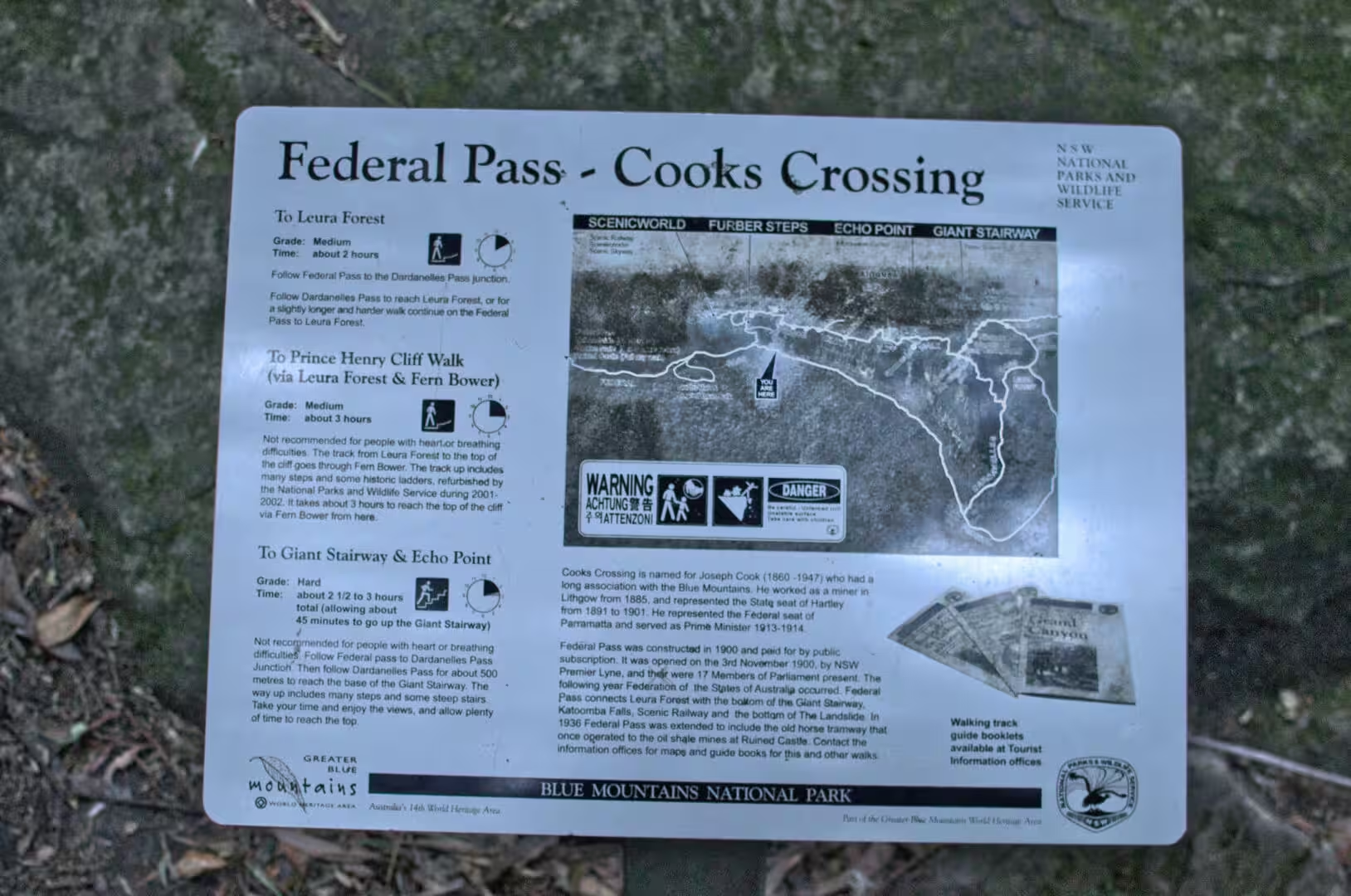
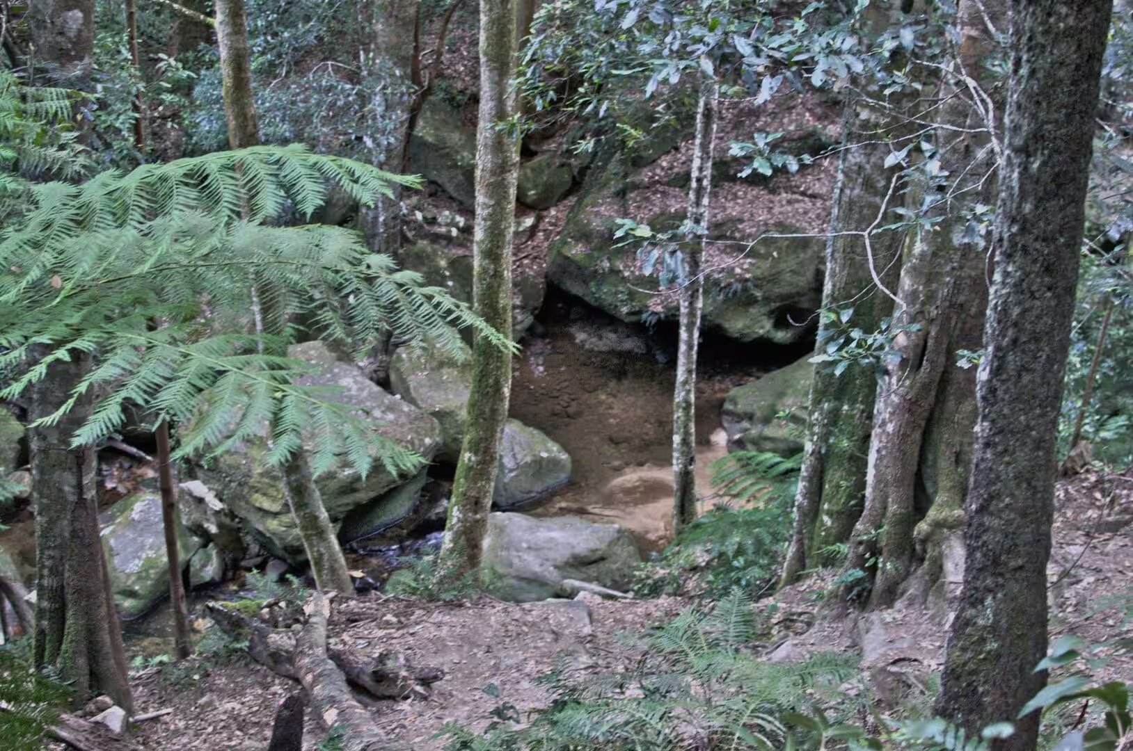
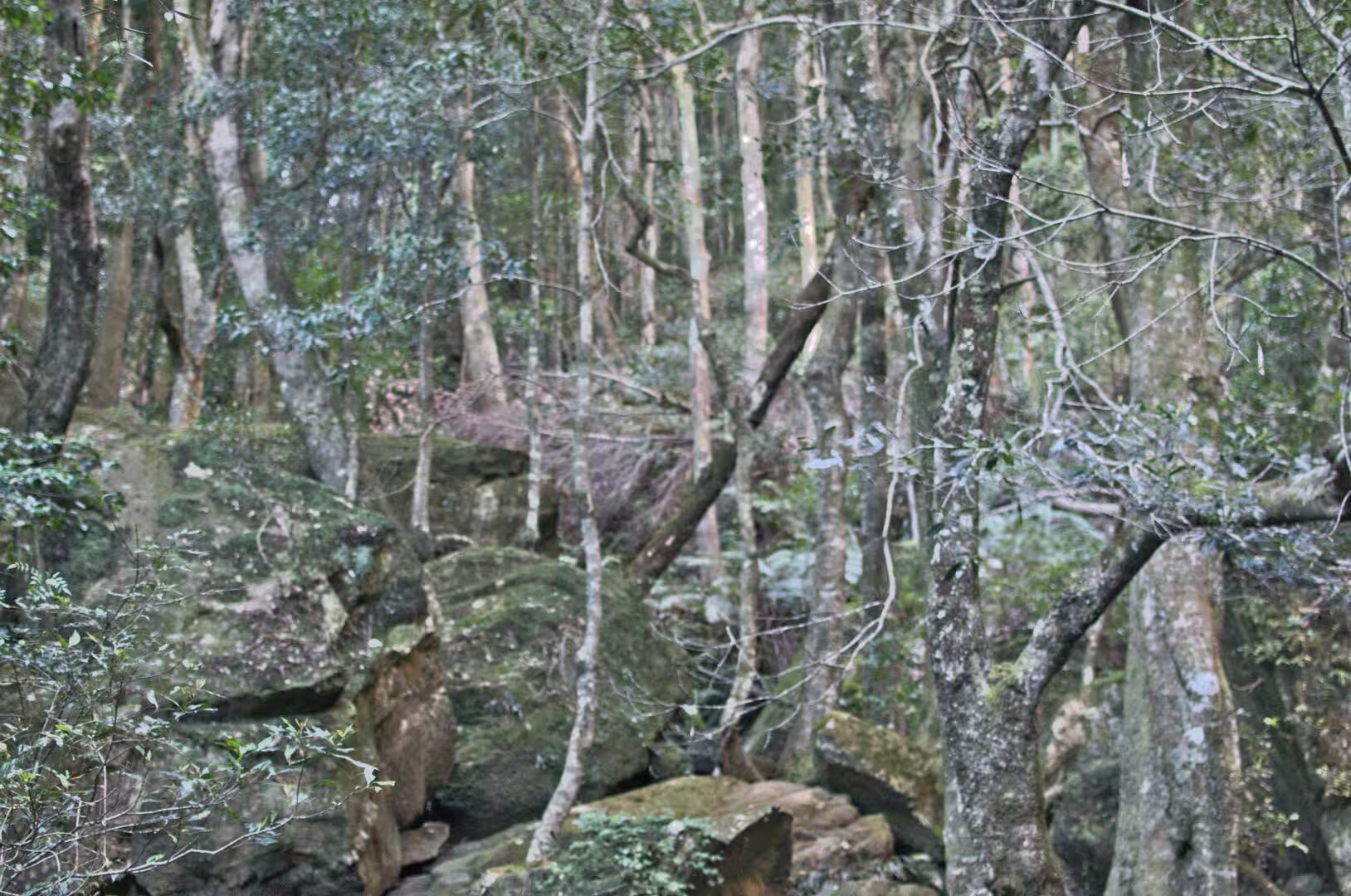
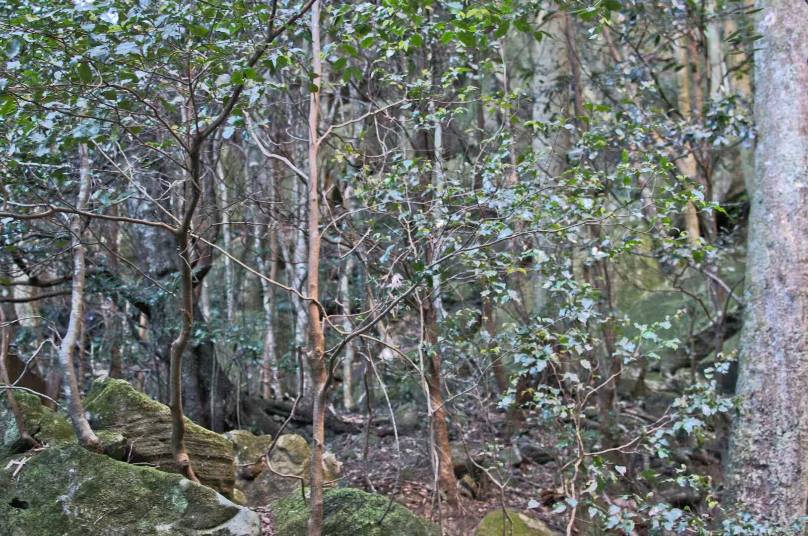
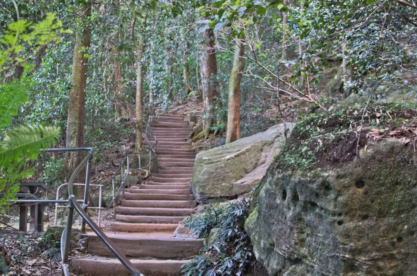
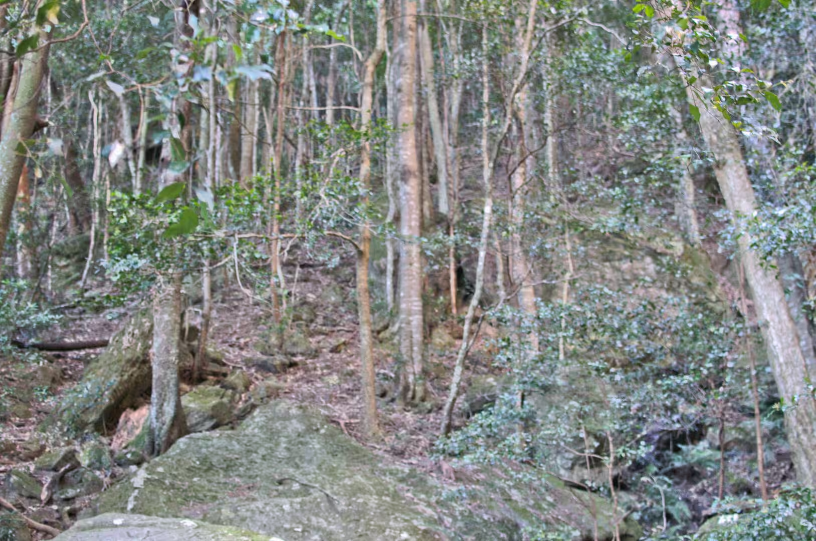
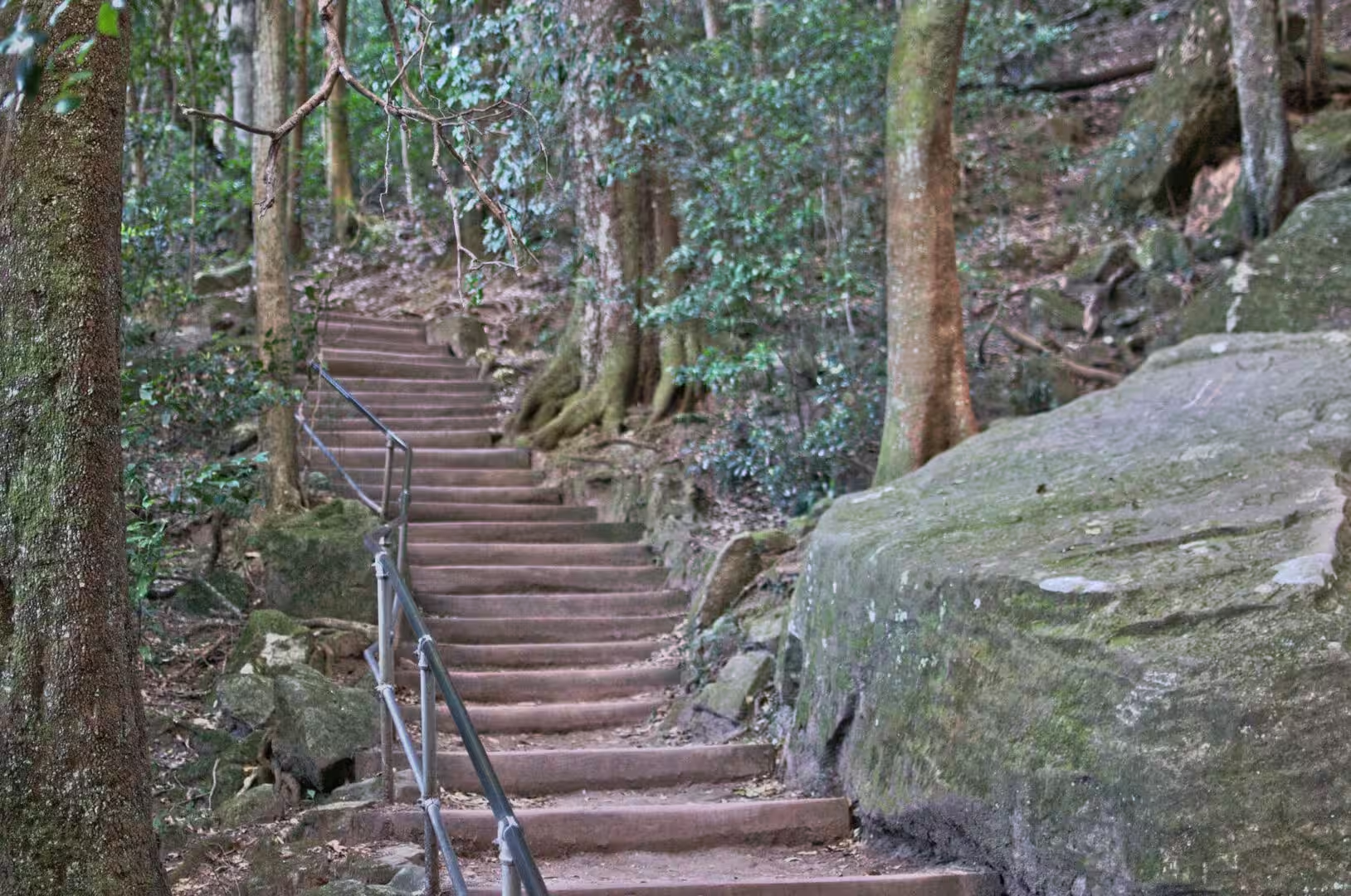
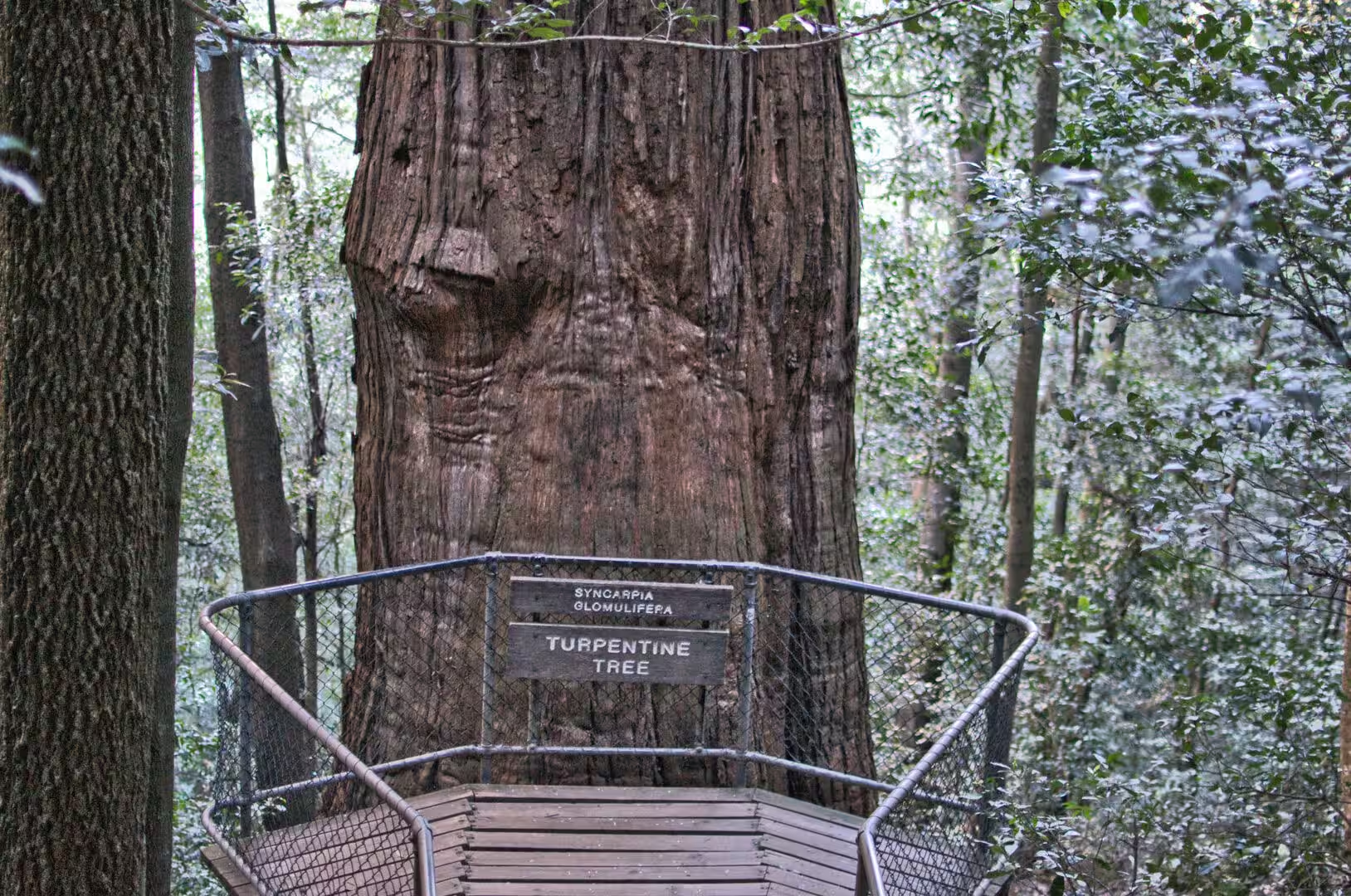
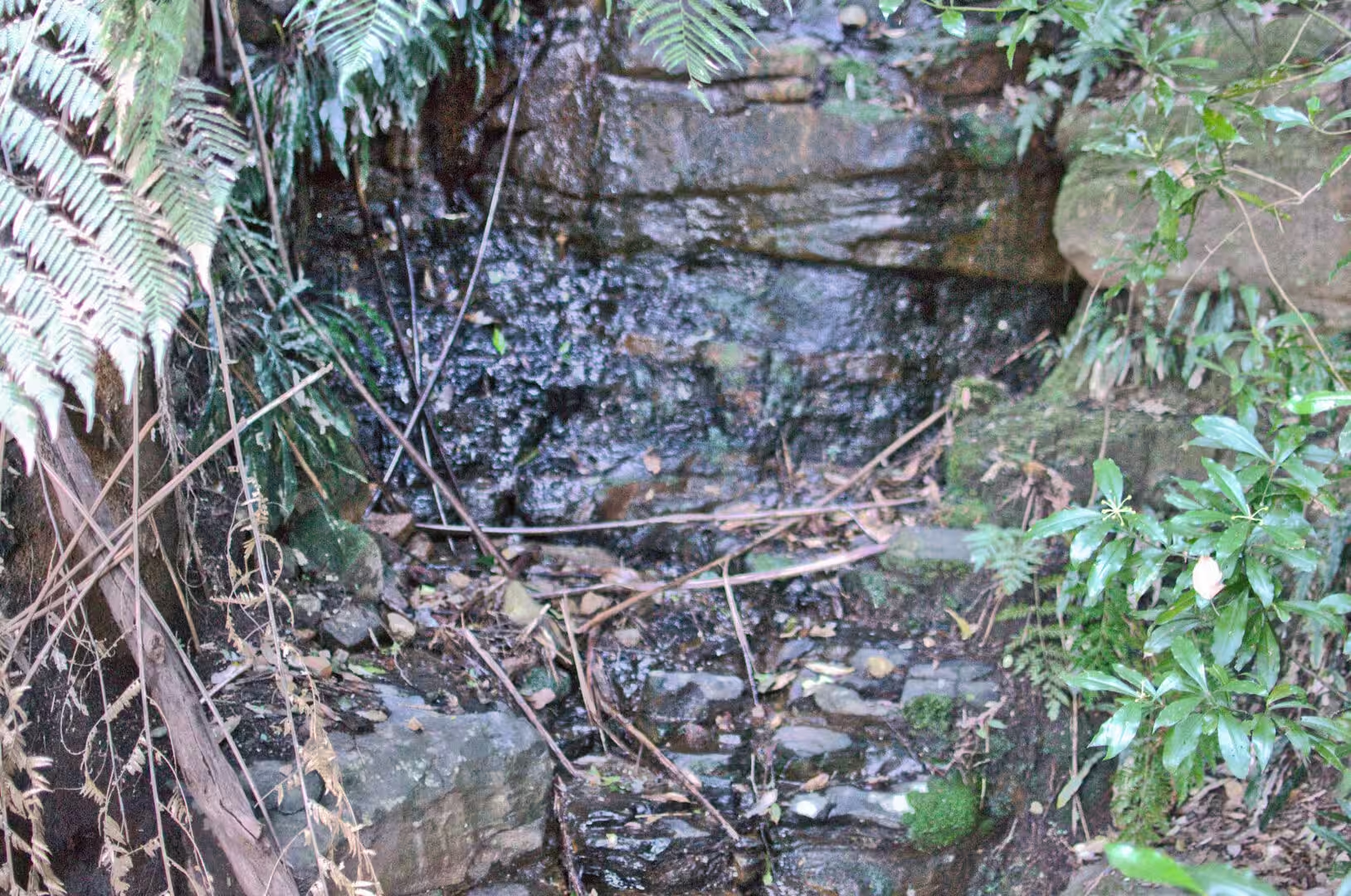
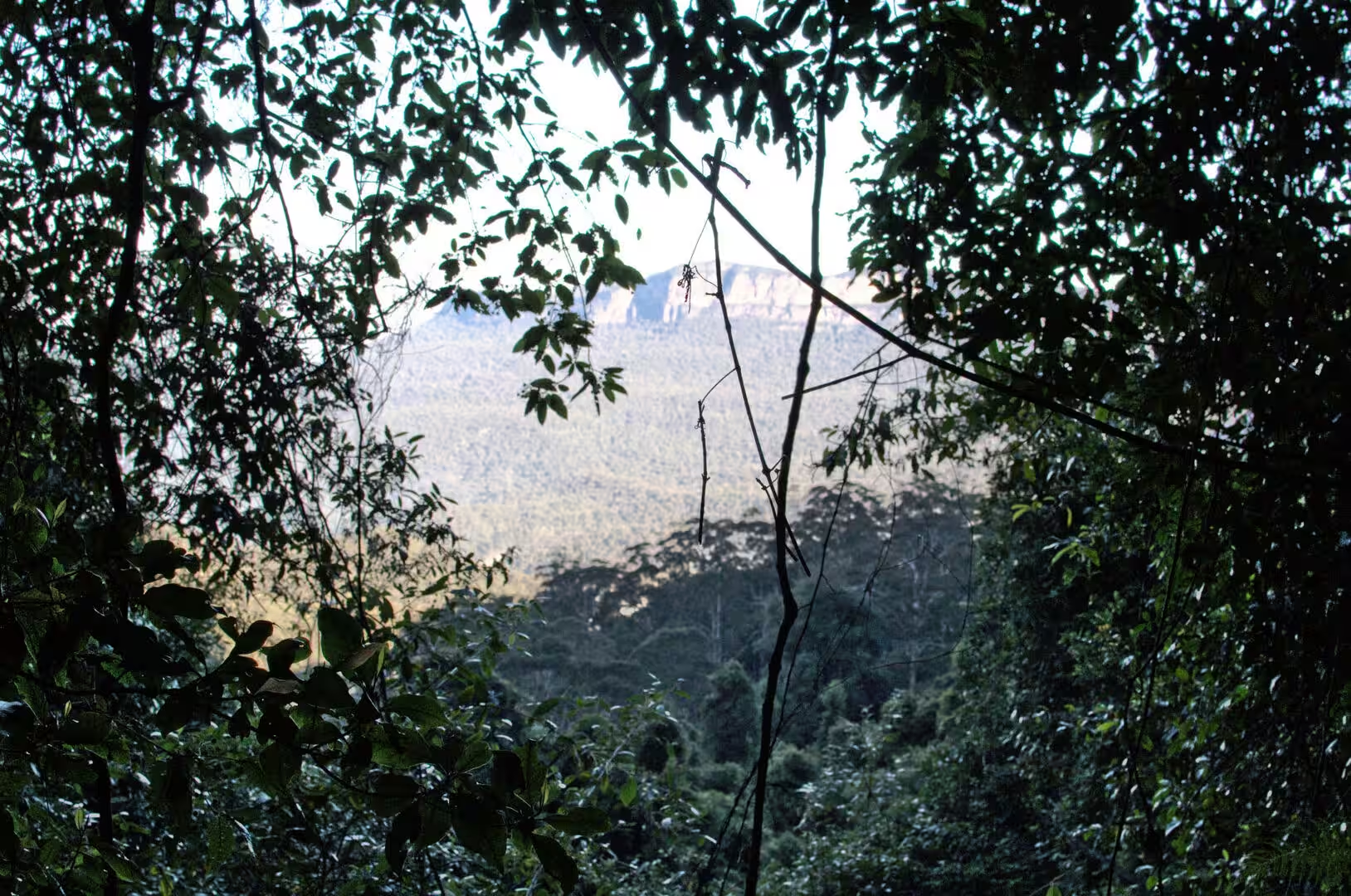
The afternoon was spent on the walking tracks below the escarpment. The path descends through eucalyptus forest into a gully full of tree ferns, crosses creeks on stone steps, and passes information boards where the routes of the longer walks are mapped. The ferns are the surprise of the day: plants that look tropical growing in a cool climate, with trunks a metre high and fronds arching over the track, in a green light that comes down through the canopy in patches. The walk back up is steep and the reward is the view from the escarpment again, this time from below.
The contrast between the city and the mountains is the surprise of the day. The train leaves Sydney in the morning with the harbour behind it, crosses the flat country of the western suburbs, and climbs into eucalyptus forest and cloud within two hours, and the temperature drops several degrees on the way. The mountains are not a wilderness in the sense of the interior: the towns have cafes, galleries and a railway, and the escarpment is a short drive from the shops. What is wild is the valley below it, which is national park in every direction.
History
The Blue Mountains were the barrier that the first colony could not pass. The settlement on the harbour was surrounded by sandstone country, the ridges and the gorges to the west were impassable to the parties that tried them in the first decades, and it took a group of three settlers, Blaxland, Lawson and Wentworth, to find a route across the plateau in 1813. The road followed within a few years, the railway was built in the 1860s, and the mountains became the first holiday destination of the colony.
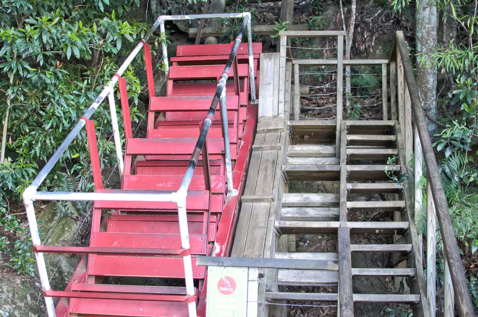
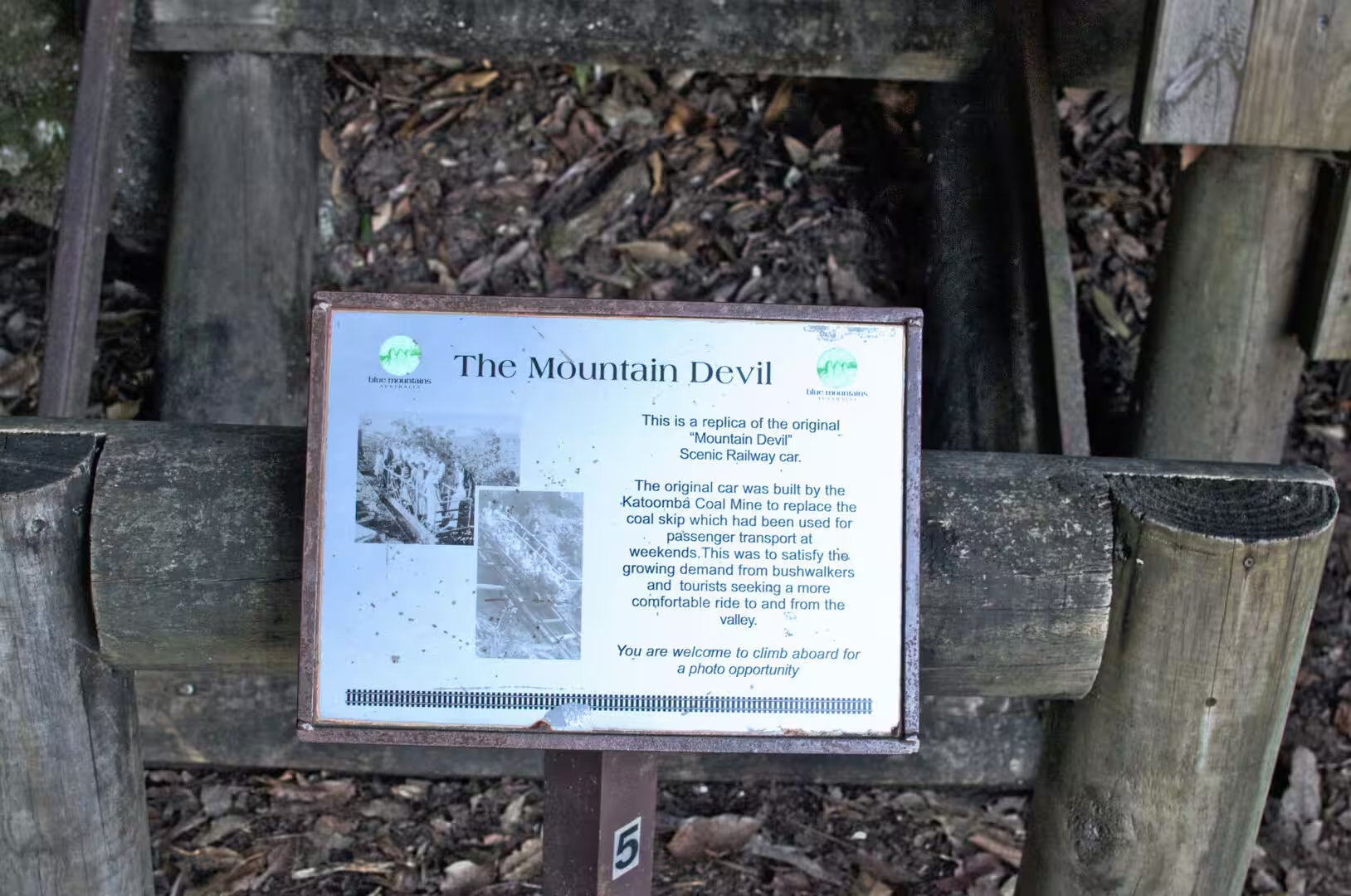
Katoomba grew with the railway. It is the main town of the Blue Mountains and has been a resort since the nineteenth century, when the hotels, the guesthouses and the walking tracks were built for the visitors who came up from Sydney to escape the heat. The infrastructure of that trade is still visible: the funicular railway that was originally built to haul coal and shale out of the valley is now the tourist railway, the cableway crosses the gorge, and the paths that were cut by hand in the 1880s are still in use.
The Three Sisters carry a story that is told to every visitor. The rock formation stands on the north escarpment of the Jamison Valley close to the town, and the Aboriginal story attached to it concerns three sisters, recorded in the literature as Meehni, Wimlah and Gunnedoo, who were turned to stone. The story is one of several versions that have been told about the formation, and the names are the ones that appear on the signs; the Dharug and Gundungurra peoples are the traditional owners of the country the mountains stand in, and their relationship with the land is far older than the resort that now interprets it.
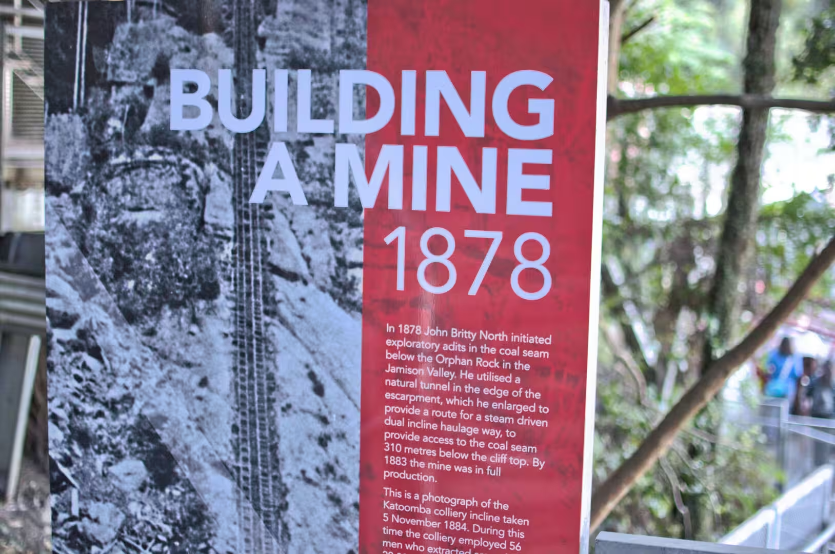
The mining history of the valleys is the other layer of the mountains’ past. Coal and kerosene shale were worked in the Jamison Valley in the nineteenth and early twentieth centuries, the tramways and inclines that carried the material out are the ancestors of the tourist railway, and the ruins of the workings are still in the forest. The towns on the ridge lived from the mines as much as from the visitors, and the transition from an industrial valley to a national park is one that the whole district has made within living memory.
The mountains also have a place in the science of the country. The vegetation of the valleys and ridges was studied by the colonial botanists, the geology of the sandstone was described in the nineteenth century, and the caves and the fossils of the area have been the subject of research ever since. The park that protects the valleys today was reserved in stages through the twentieth century, and it is managed jointly with the traditional owners, whose knowledge of the fire regimes of the forest is part of the management plan.
Geology
The Blue Mountains are the western edge of the Sydney Basin, and the rocks in them are the same as the rocks under the city. The sandstone that forms the cliffs is the Hawkesbury sandstone, the same formation that gives the harbour its shoreline and the city its building stone, and the sequence below it includes the shales and the coal seams that were worked in the valleys. The whole of it was laid down in a sedimentary basin between about 250 and 300 million years ago, in conditions that changed from marine to deltaic to riverine as the basin filled.
The landscape was made by water and by time. The plateau was lifted at the end of the basin’s history, the rivers that crossed it cut down into the sandstone along lines of weakness, and the result is the system of deep valleys with vertical walls that the visitor sees. The rock is hard in the mass and jointed in detail, and the joints are what the erosion uses: a waterfall starts at a joint, a cliff retreats along a joint, and a pillar like the Three Sisters stands because it has been isolated by two sets of them.
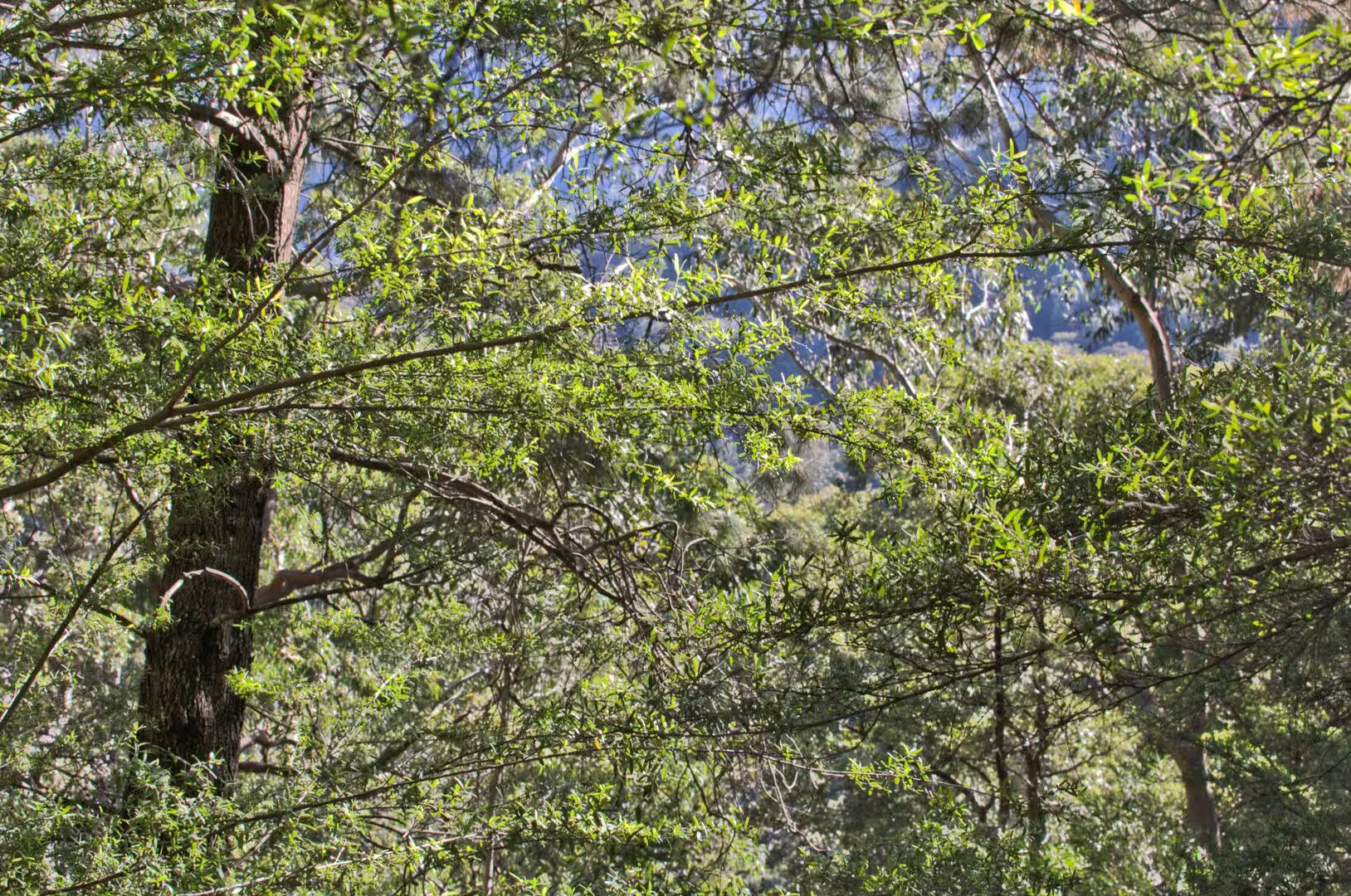
The valley of the Jamison is the best example of the process in the region. Its floor is a kilometre below the escarpment in places, its walls are sandstone cliffs stepped back from the valley floor in a series of benches, and the vegetation changes with the height and the shade: eucalyptus on the ridges, tree ferns and rainforest in the gullies, and moss and lichen on the rocks beside the creeks. The scale of it is the thing that a visitor has to recalibrate, because a valley that looks like a short walk from the lookout can take a day to cross.
The blue haze that gives the mountains their name is worth understanding as well. It is not smoke and it is not rain: it is a phenomenon of scattered light, produced by the volatile oils that the eucalyptus forest releases into the air. The oils scatter the short wavelengths of the visible spectrum, which is why the distant ridges look blue rather than green, and the effect is strongest in the heat of the day and after rain. It is a landscape effect made by the plants themselves, and it has given the range its name in English and its character in every view.
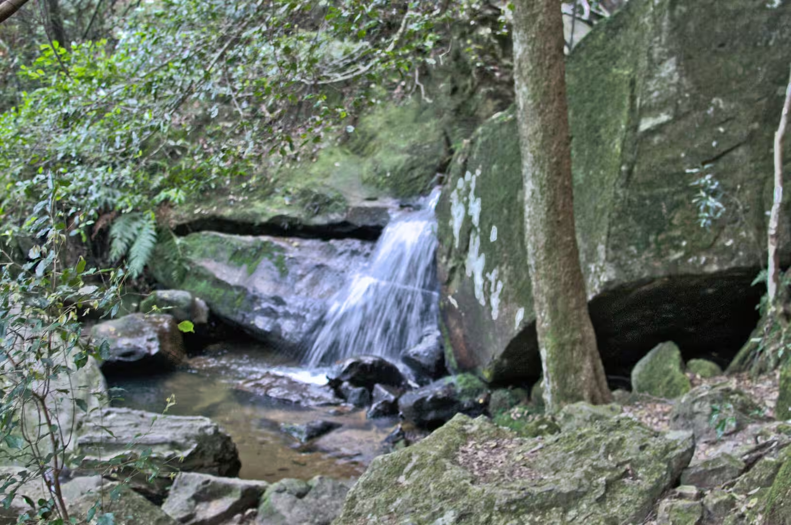
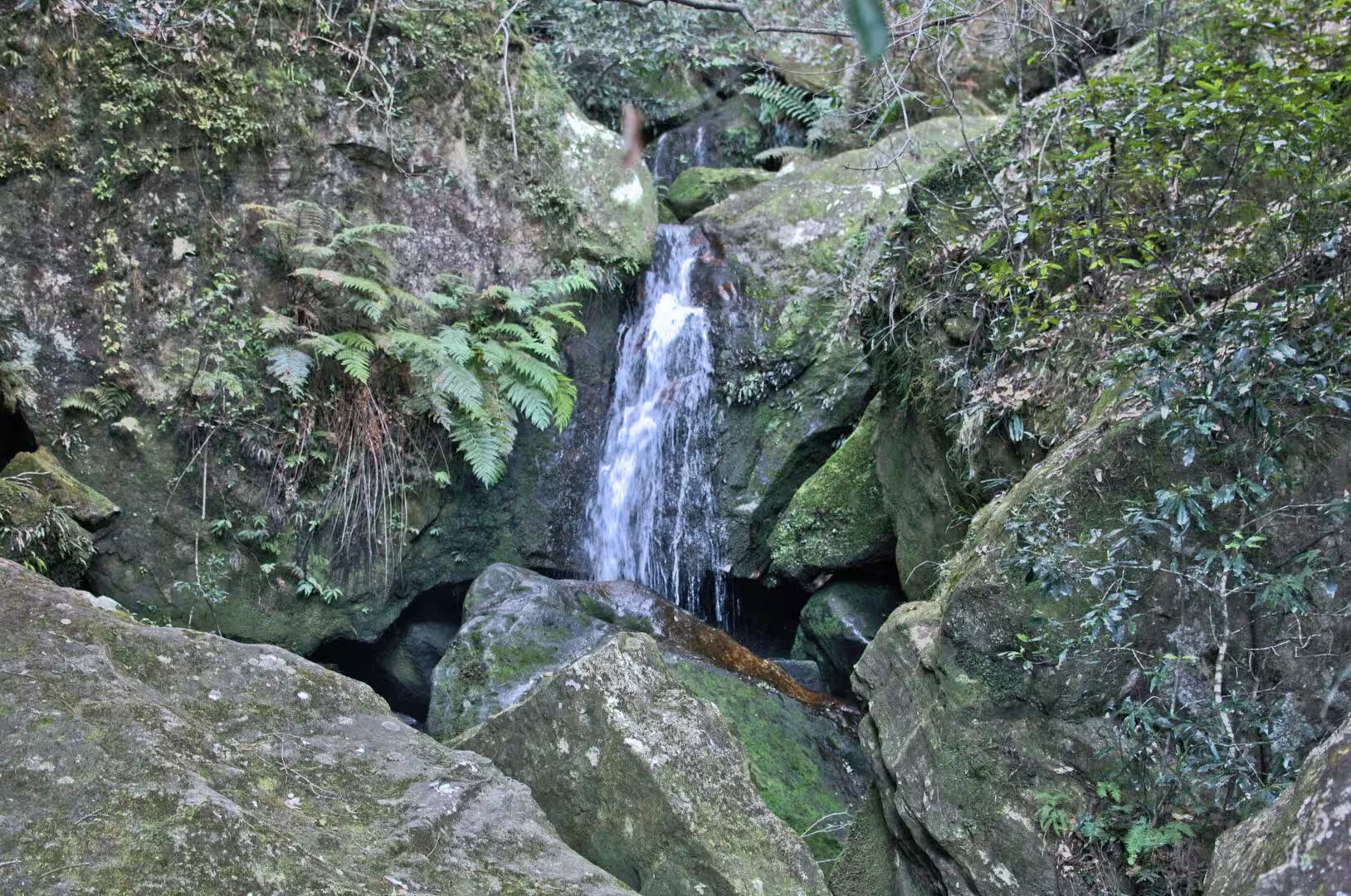
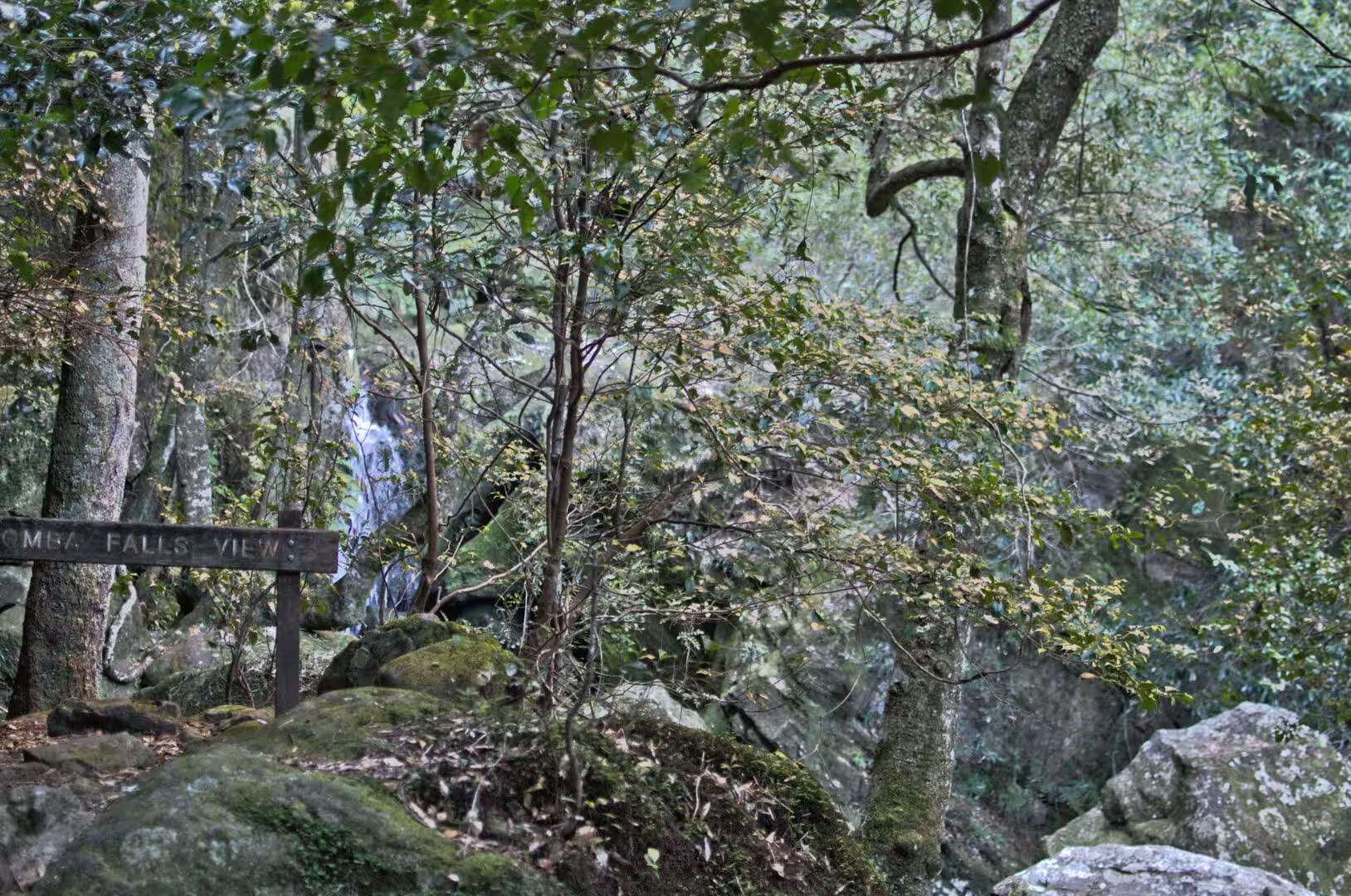
The waterfalls of the region are the visible end of the drainage. A stream that crosses the plateau reaches the escarpment and falls over the edge of the sandstone, and the plunge pool at the bottom of it is gradually enlarged by the debris the water carries around. In the wet season the falls are spectacular and the tracks below them are closed; in the dry season the same falls are a trickle, and the pools in the valleys are the only water for kilometres. The variation is the same in the city’s water supply, which depends on the rainfall of these same catchments.
Things to See
Echo Point, beside the Three Sisters, is the first stop and the busiest. The lookout is paved, fenced and served by a visitor centre, the view over the Jamison Valley is the classic one, and the paths down to the valley floor start from the same place. The best times are early in the morning and late in the afternoon, when the light is low and the mist is moving; in the middle of the day the escarpment is hot and the view is flat.
The walking tracks below the escarpment are the reason to stay longer than a morning. The routes range from an hour to several days, the shorter ones lead to waterfalls, lookouts and the forest of tree ferns in the gullies, and the longer ones cross the valley to the other side. The tracks are well marked and well maintained, the terrain is steep in places, and the usual rules apply: water, a hat, a map and a conservative estimate of how far the legs will carry in a day.
The town of Katoomba is worth a couple of hours in its own right. The main street has the shops and the cafes of a small resort, the railway station is a good example of the colonial stations of the line, and the older guesthouses and hotels of the resort period are still standing among the later buildings. The museum and the local historical society keep the record of the coal and shale years, and the second hand bookshops of the town are an attraction in themselves.
The journey back to the city is best made in the last of the light. The train descends the escarpment with the valley on one side and the plain on the other, the eucalyptus forest turns from green to grey with the fading light, and the lights of Sydney appear as a band of orange on the horizon before the suburbs close in around the line. It is a good way to end a day in the mountains, and a good way to understand how small the inhabited part of this coast actually is.
A day in the mountains needs a little planning and rewards it. The train from the city takes about two hours and runs frequently, the buses from Katoomba station connect the viewpoints and the walking tracks, and the ticket that covers the trains covers the buses as well. The weather changes faster than the forecast suggests, so a jacket is worth carrying even in summer, and the walks should be chosen with the return leg in mind: the valley floor is a long way down and a great deal longer back up.
References
- Wikipedia contributors (2026). Sydney. en.wikipedia.org/wiki/Sydney
- Wikipedia contributors (2026). Bondi Beach. en.wikipedia.org/wiki/Bondi%20Beach
- Wikipedia contributors (2026). Coogee, New South Wales. en.wikipedia.org/wiki/Coogee%2C%20New%20South%20Wales
- Wikipedia contributors (2026). Manly, New South Wales. en.wikipedia.org/wiki/Manly%2C%20New%20South%20Wales
- Wikipedia contributors (2026). Royal National Park. en.wikipedia.org/wiki/Royal%20National%20Park
- Wikipedia contributors (2026). Blue Mountains (New South Wales). en.wikipedia.org/wiki/Blue%20Mountains%20%28New%20South%20Wales%29
- Wikipedia contributors (2026). Katoomba, New South Wales. en.wikipedia.org/wiki/Katoomba%2C%20New%20South%20Wales
- Wikipedia contributors (2026). Wentworth Falls, New South Wales. en.wikipedia.org/wiki/Wentworth%20Falls%2C%20New%20South%20Wales
- Wikipedia contributors (2026). Tasman Sea. en.wikipedia.org/wiki/Tasman%20Sea
- Wikipedia contributors (2026). Sydney Basin. en.wikipedia.org/wiki/Sydney%20Basin
- Wikipedia contributors (2026). Hawkesbury sandstone. en.wikipedia.org/wiki/Hawkesbury%20sandstone
- Wikipedia contributors (2026). Sydney Ferries. en.wikipedia.org/wiki/Sydney%20Ferries
- Wikipedia contributors (2026). Circular Quay. en.wikipedia.org/wiki/Circular%20Quay
- Wikipedia contributors (2026). Jacaranda. en.wikipedia.org/wiki/Jacaranda
- Pells P. (2018) Engineering properties of the Hawkesbury Sandstone. Engineering Geology of the Sydney Region. 179-197. doi.org/10.1201/9780203757390-10
- Wallace I. (2018) Sandstone for building blocks. Engineering Geology of the Sydney Region. 345-354. doi.org/10.1201/9780203757390-17