2017 Sydney I 2














Journal Notes
General
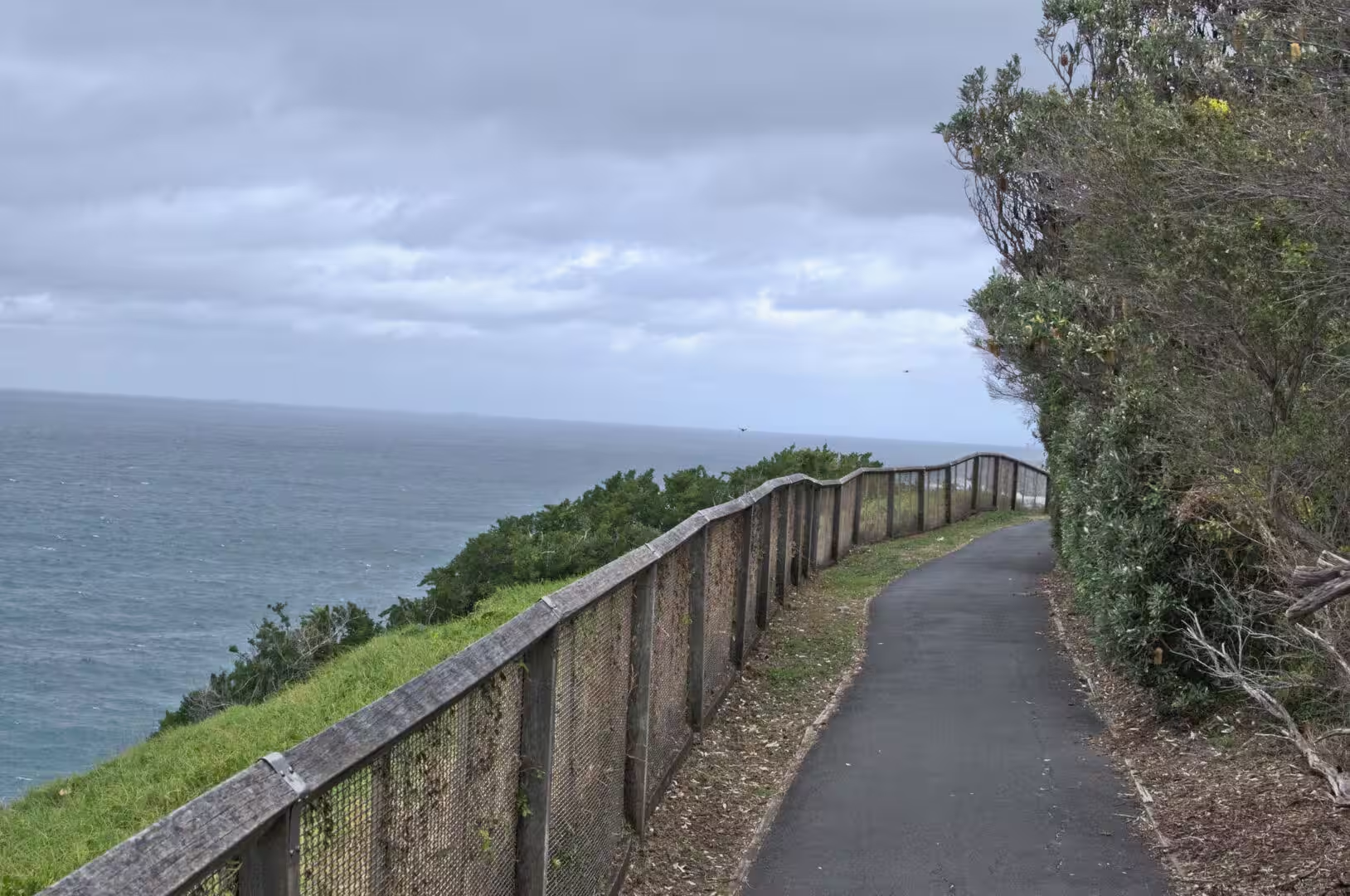
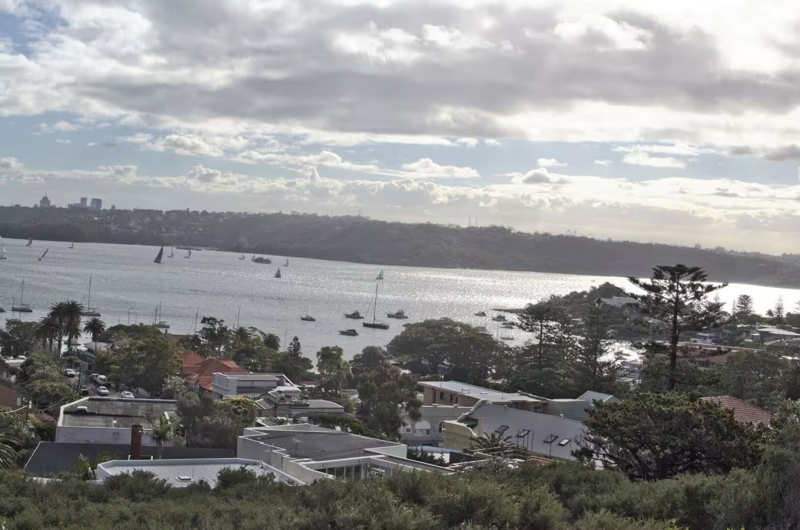
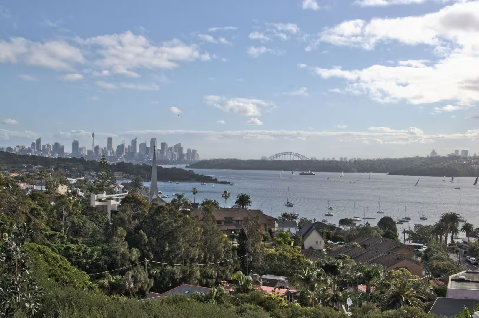
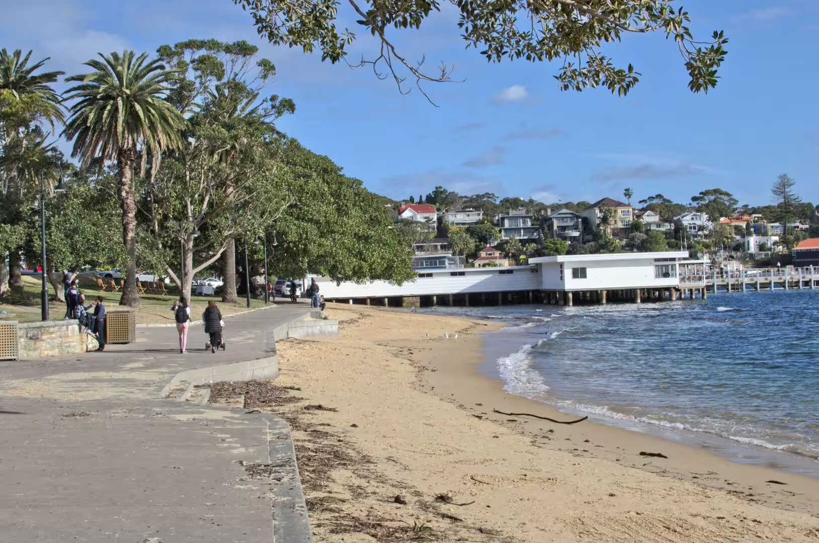
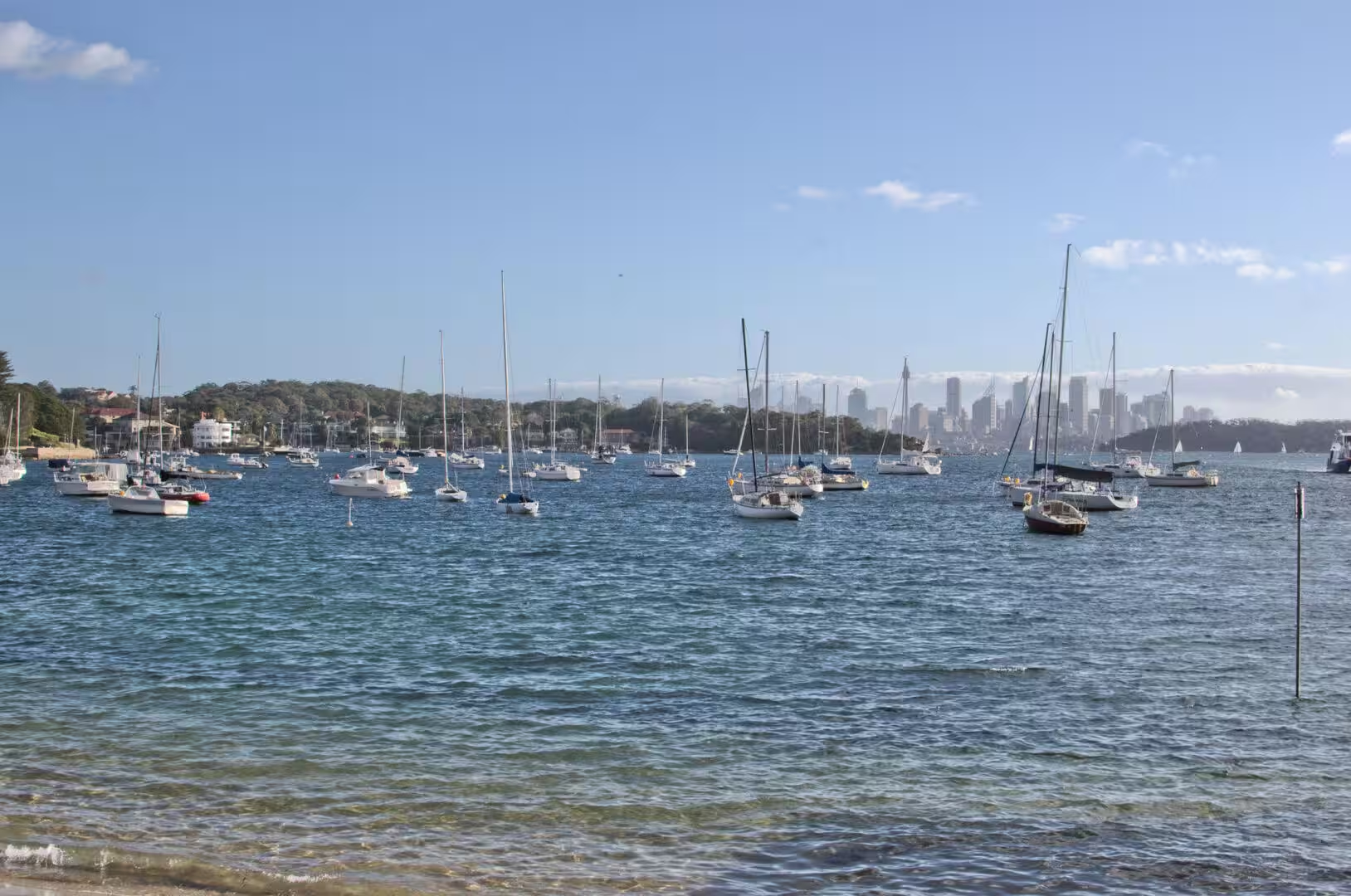
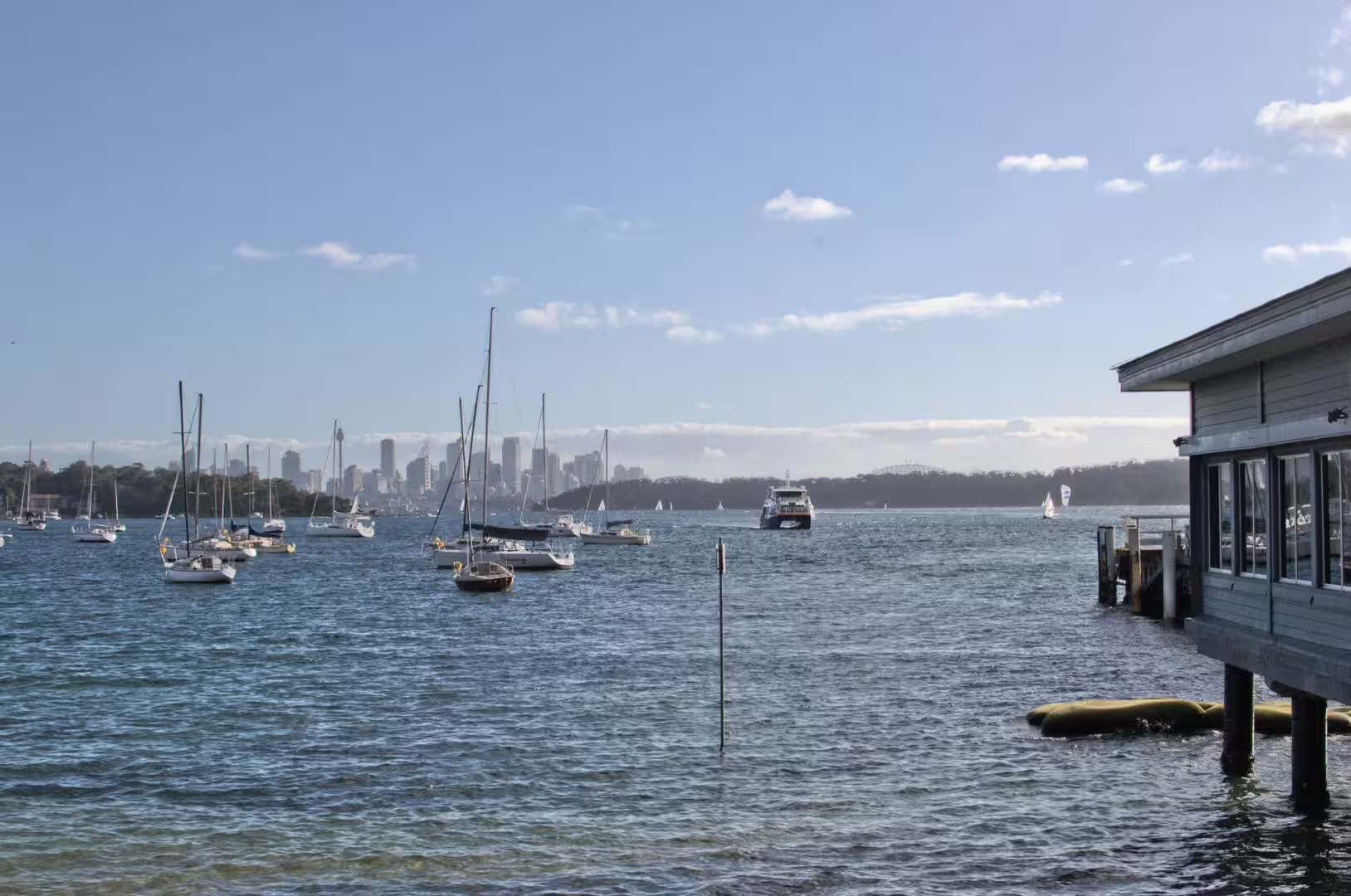
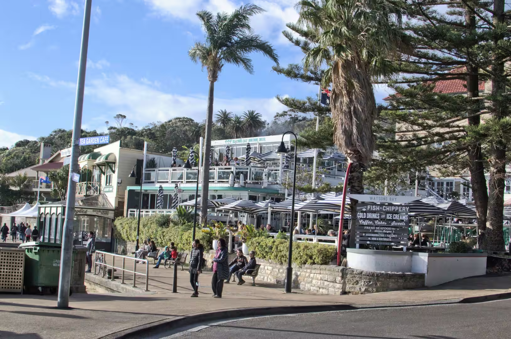
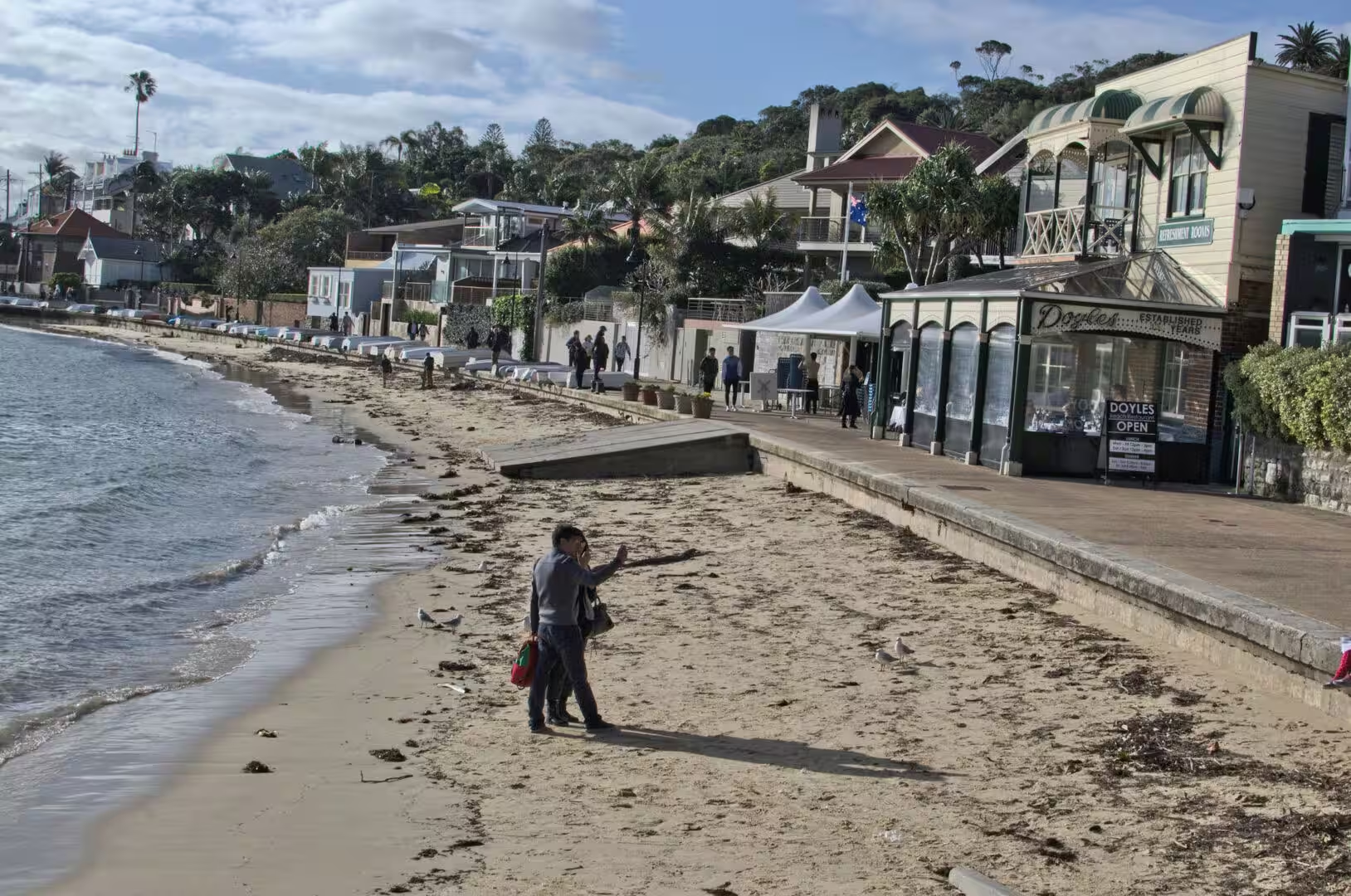
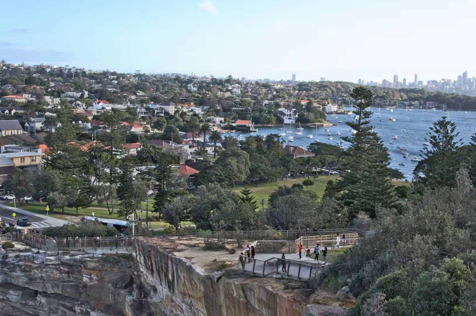
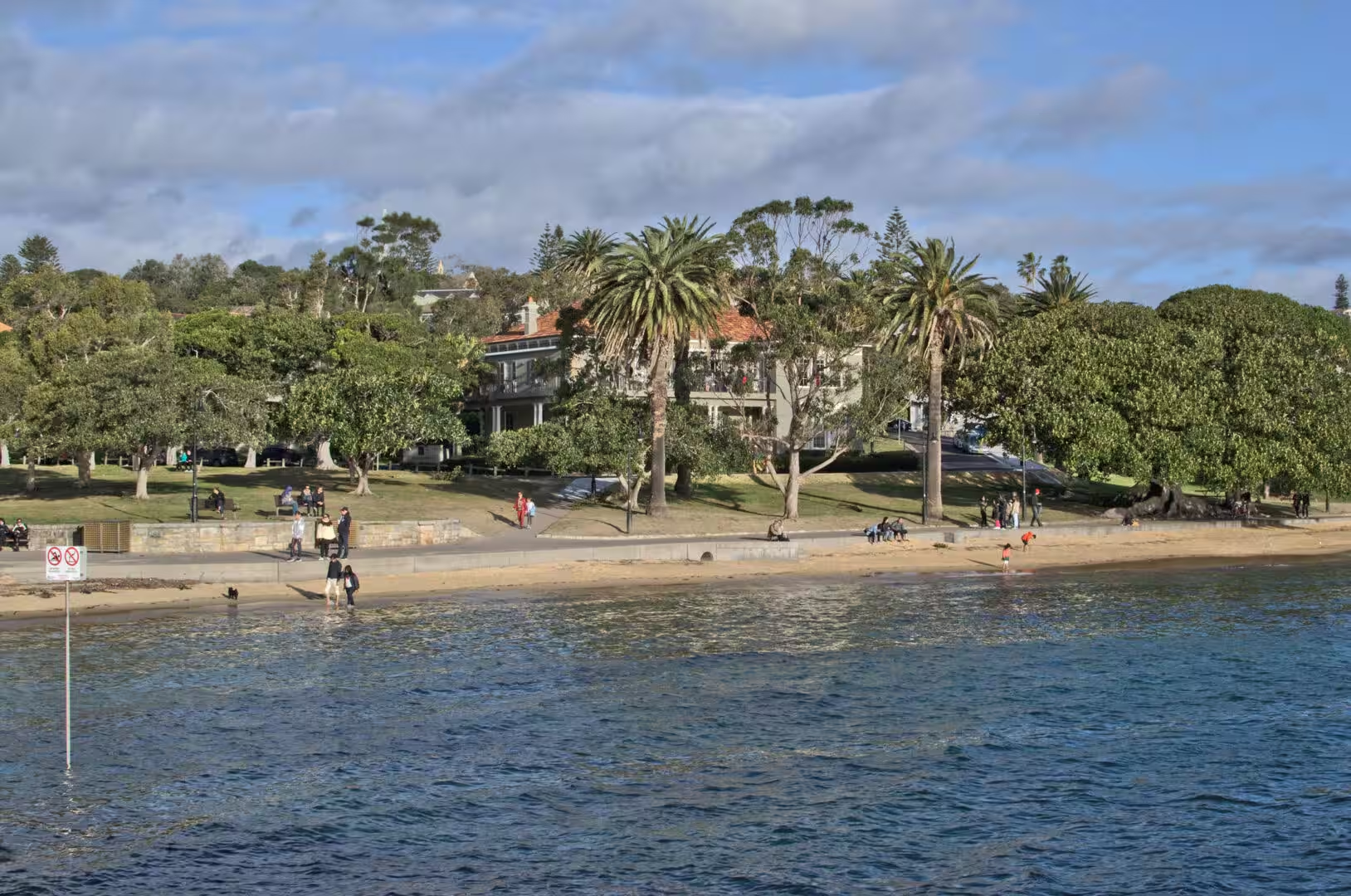
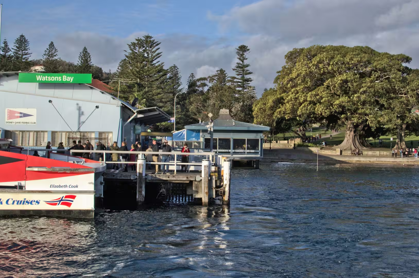
The second day took the bus to the eastern end of the harbour and spent the whole of it on the cliffs. Watsons Bay is the last suburb before the ocean, a small settlement of houses, a park, a few restaurants and a wharf, and from the wharf the land rises to a ridge of sandstone above the water with houses perched on the edges of it. The walk along the clifftop path runs from the bay to the cemetery and on to the beaches, and it is the best introduction to the coast that the city has.
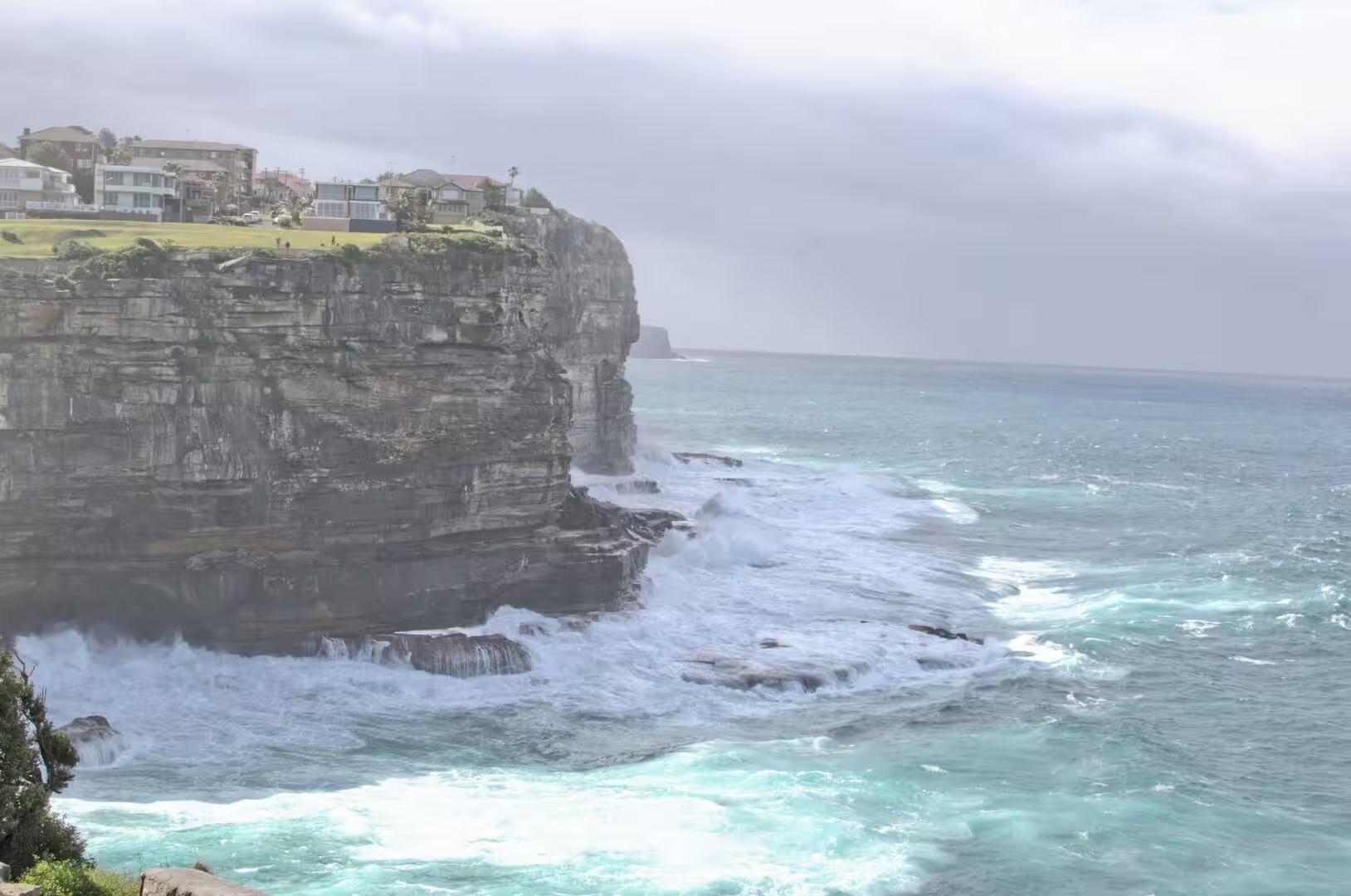
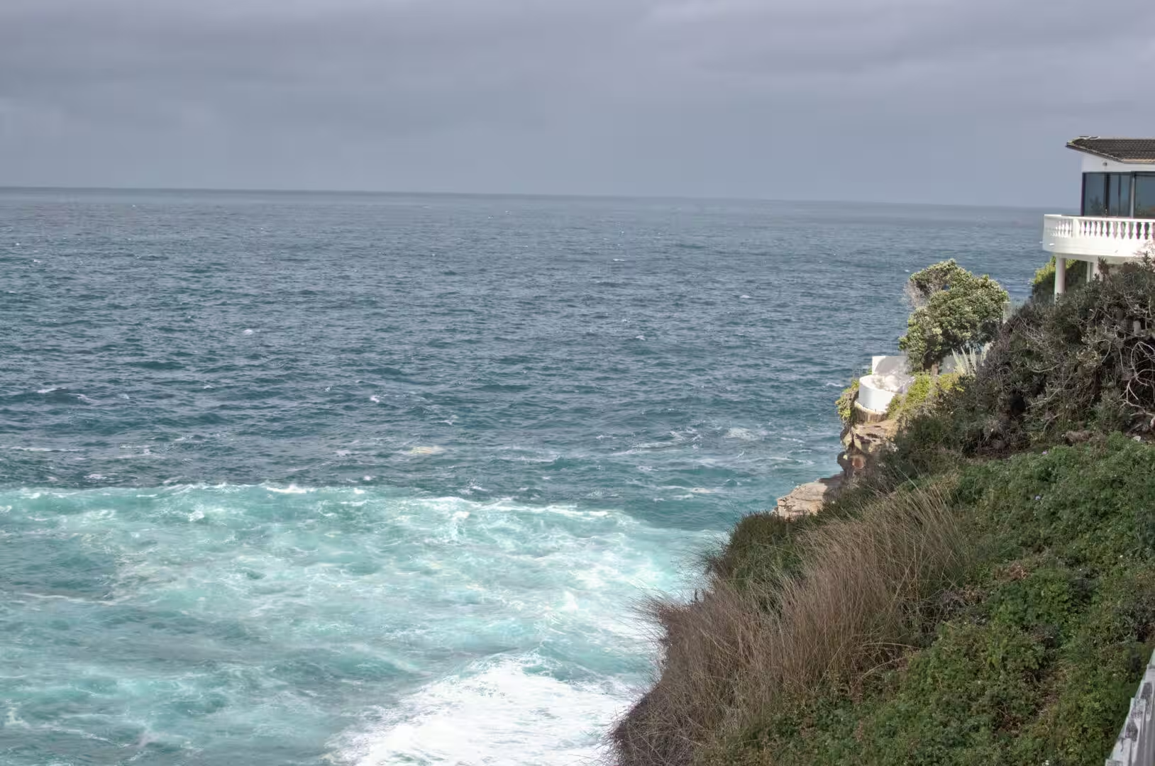
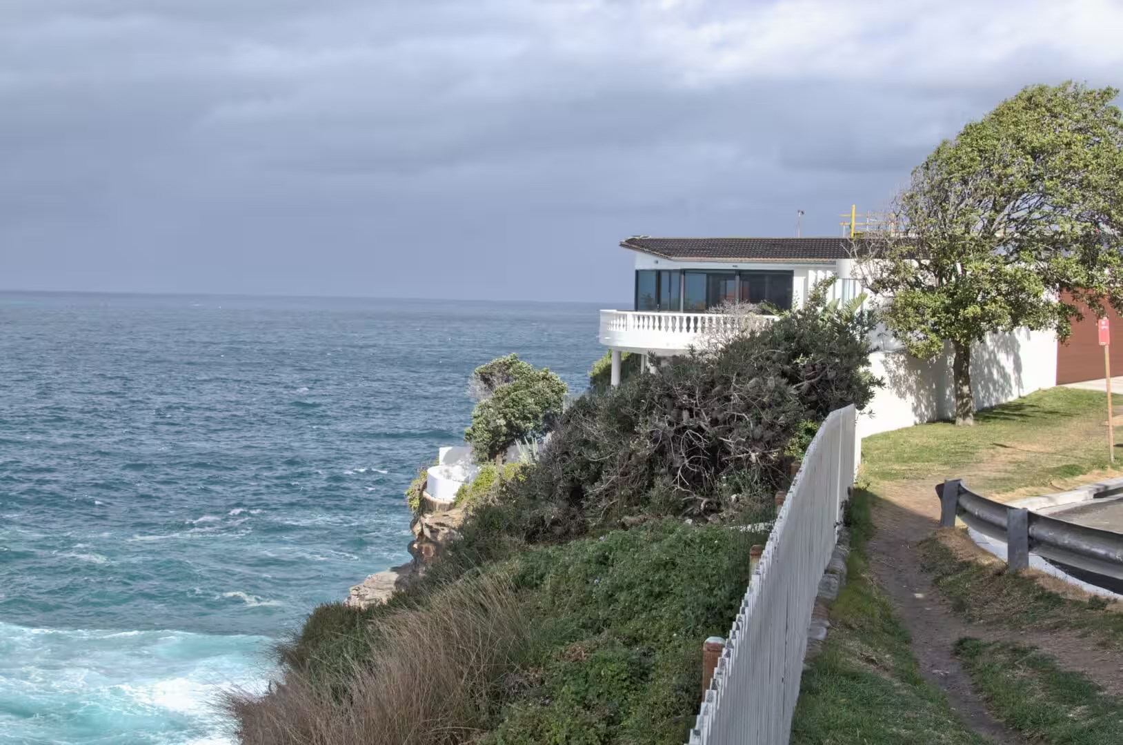
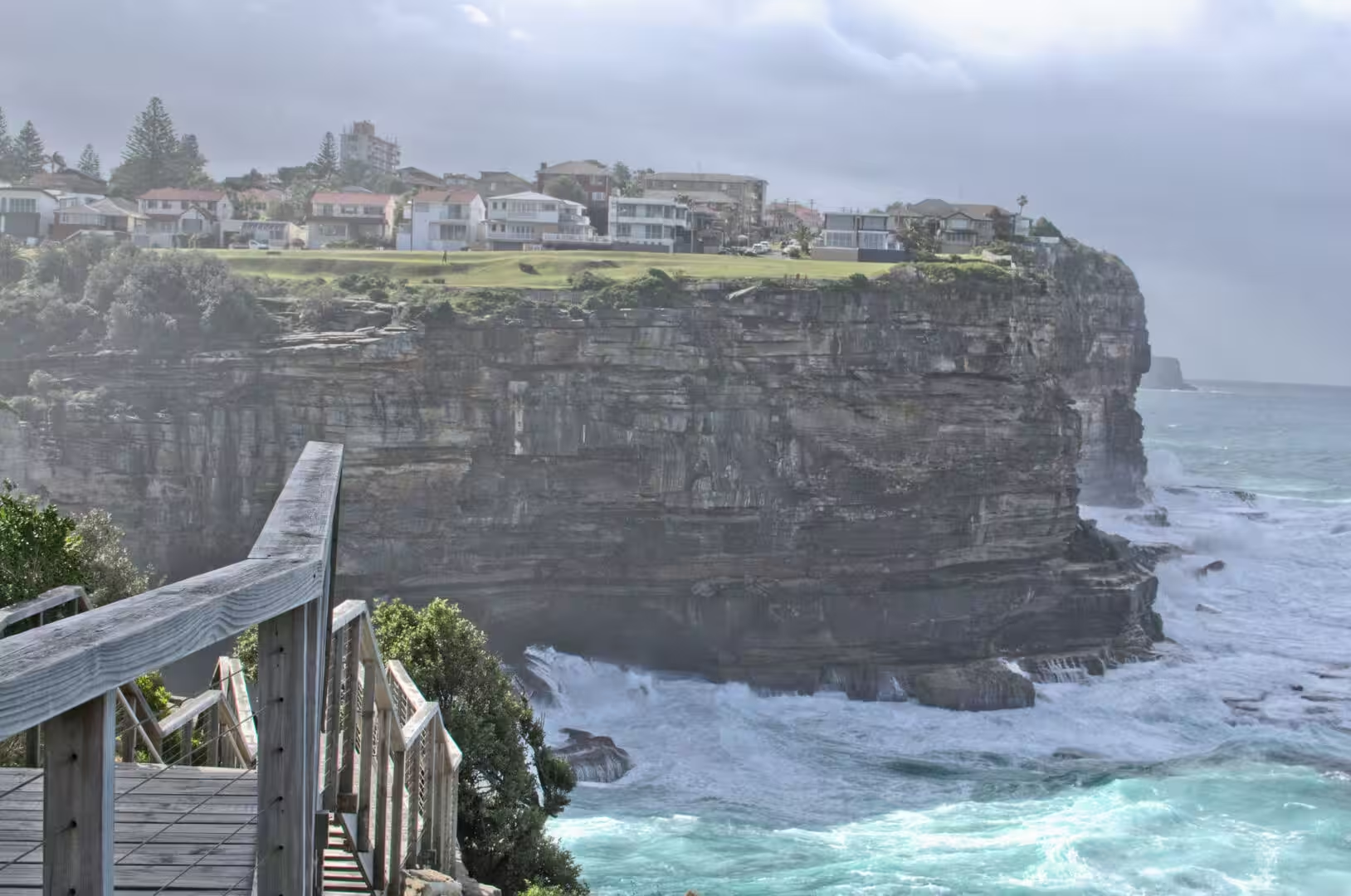
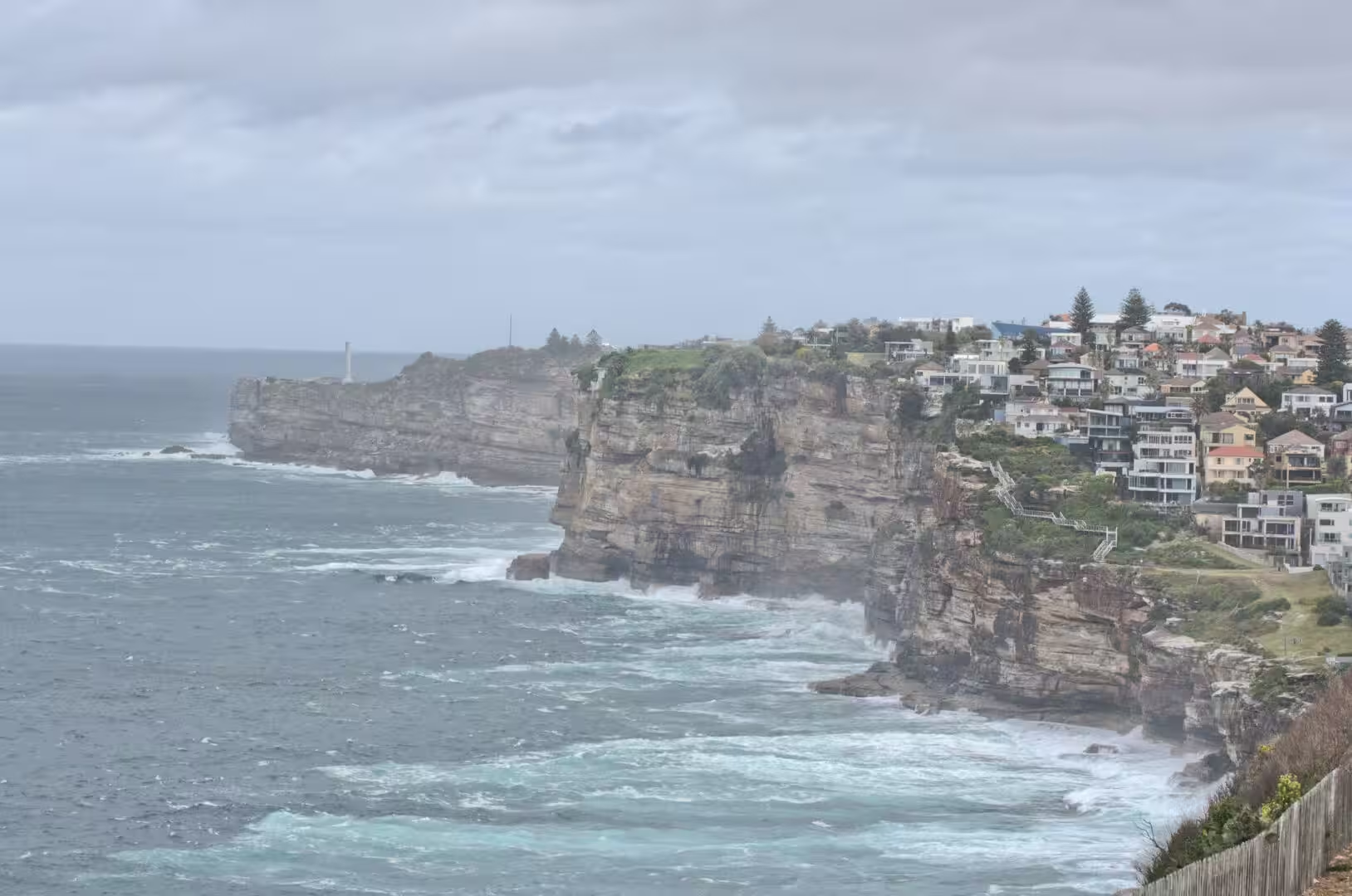
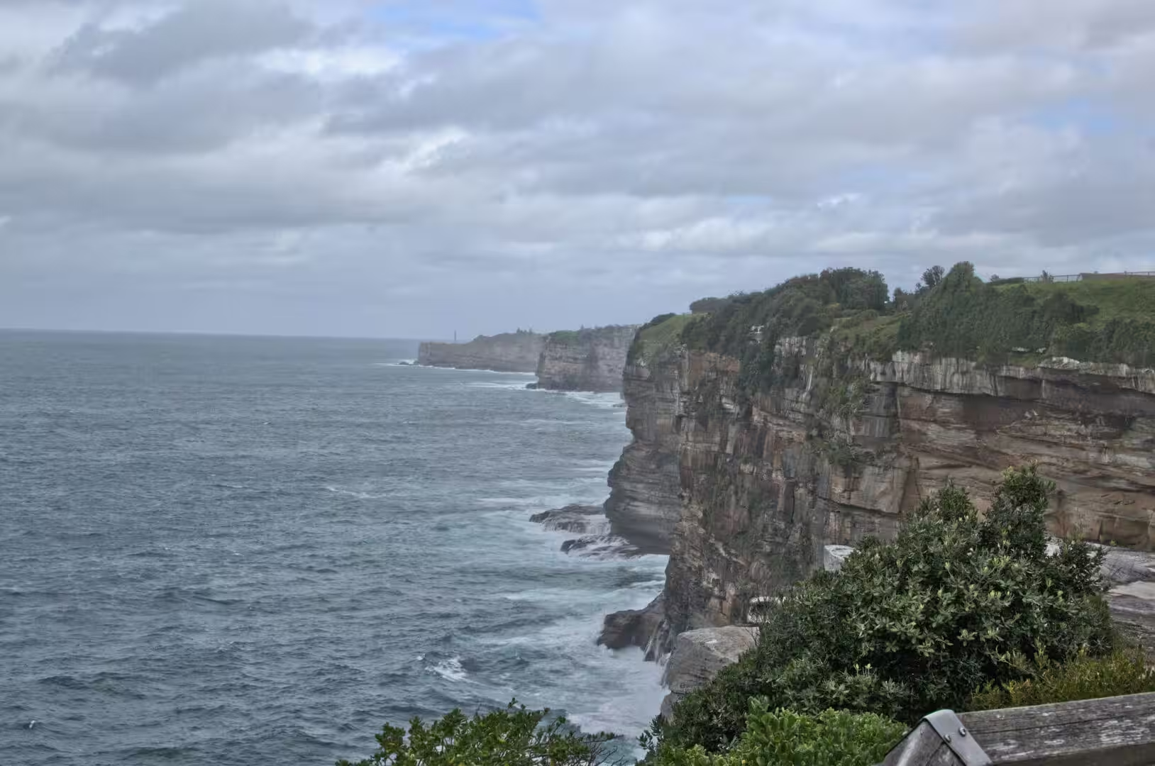
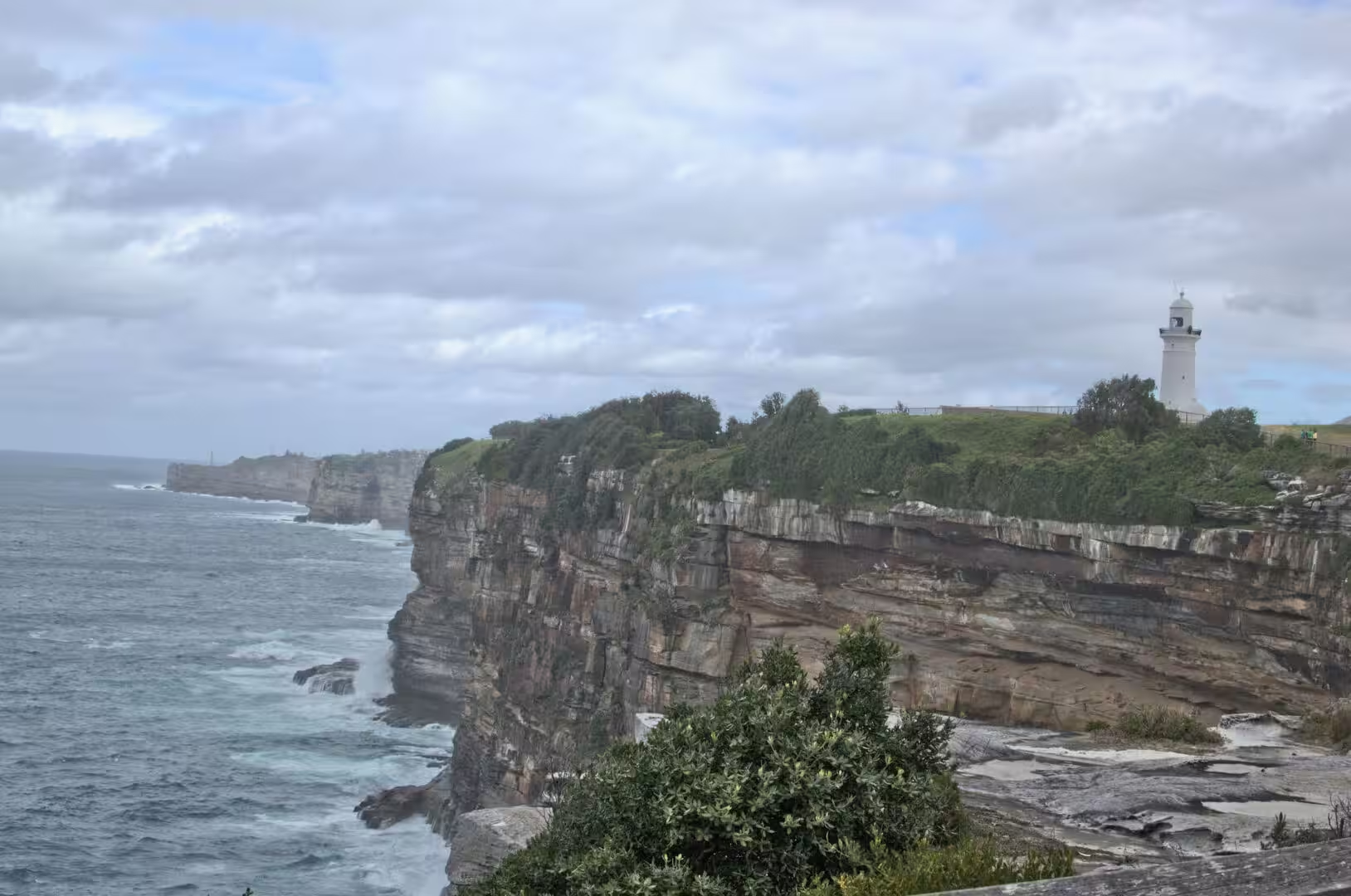
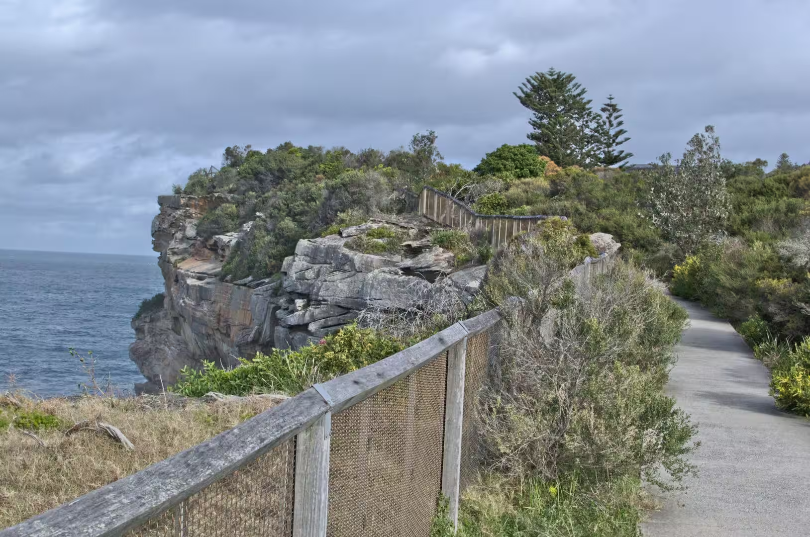
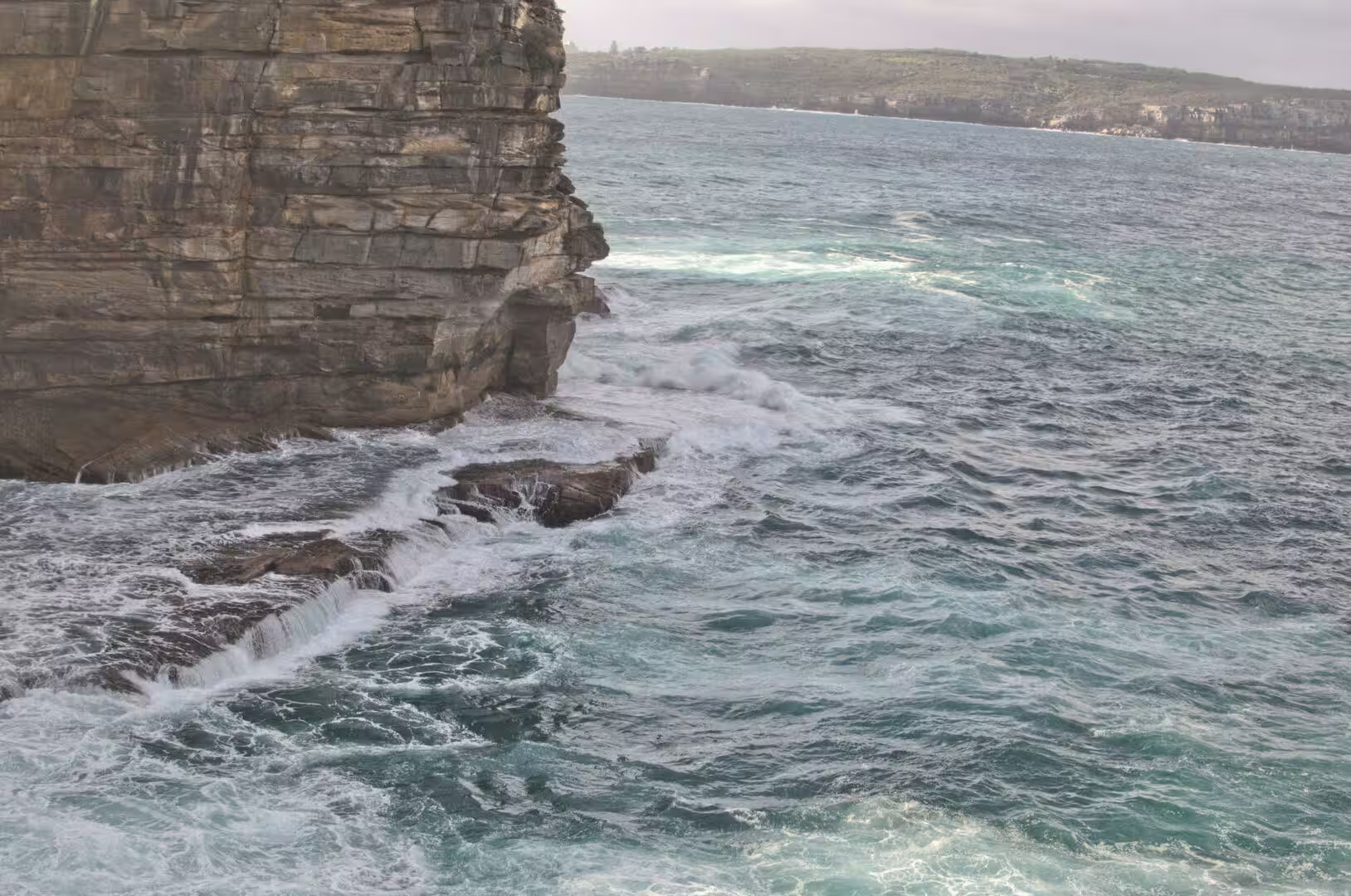
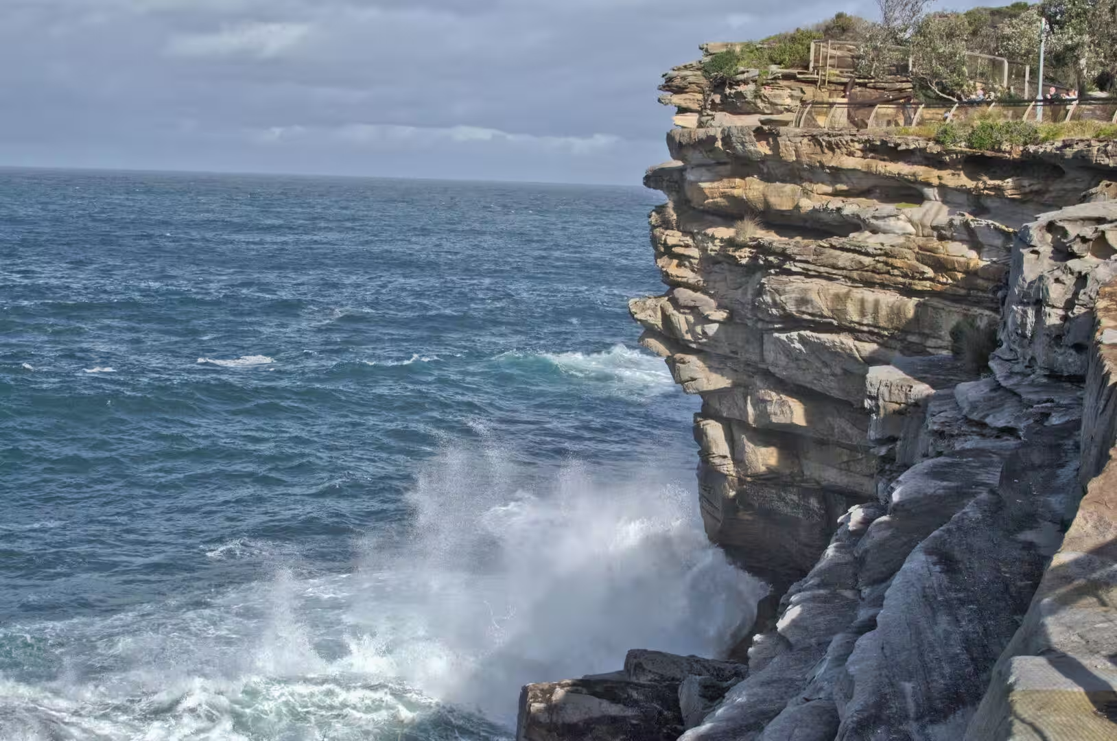
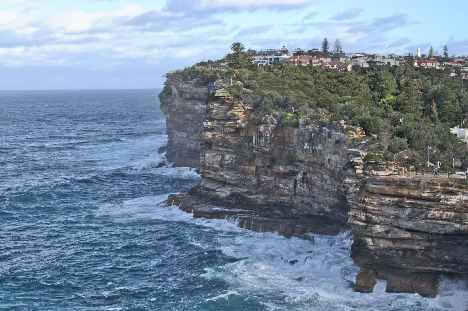
The cliffs are the feature of the day. Sandstone drops vertically into turquoise water, the surf churns against the base of it, and timber stairs wind down beside one of the faces to a ledge where fishermen stand in the spray. Houses with balconies hang over the edge, a chain fence runs along the path, and the wind off the ocean is strong enough to make a hat a liability. From the top the coastline runs south in a series of coves and headlands, each with its own beach and its own rocks.
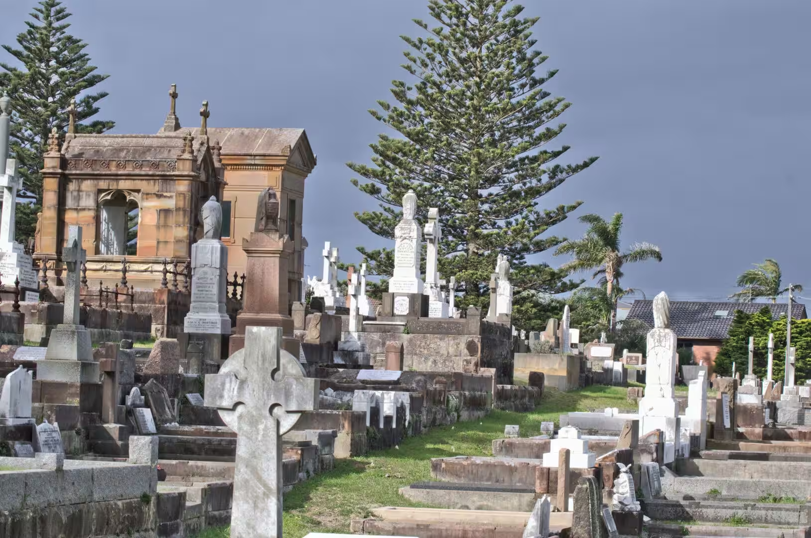
The most striking place on the walk, and the one that produces the longest pause, is the cemetery on the cliff above Bronte. Stone crosses, obelisks and mausoleums stand in rows on a grassy hillside that falls away to the sea, with the waves visible between the headstones, and the whole arrangement is unlike any other burial ground in the country. Beyond it the beaches begin, and beyond them the lighthouse at the tip of the headland closes the circle of the day.
The weather on the cliff walk was the kind that the coast produces on a summer day. Sun, cloud and wind arrived in shifts: the morning was bright and still, the middle of the day brought a sea wind strong enough to move the surf up the beach, and by the afternoon the cloud had come in from the south with the swells behind it. The path was full of walkers, runners and people with dogs, and the parks beside it were busy with families and cricket sets.
History
Watsons Bay has been the maritime front door of Sydney since the colony began. The deep water of the harbour entrance made it the natural place for a signal station, and the flagstaff on South Head was used to pass messages between the ships arriving from Europe and the settlement inside the heads. The pilots, the lighthouse keepers and the fishermen who worked from the bay are the reason it grew, and the pilot station and the sailing club are still on the waterfront today.
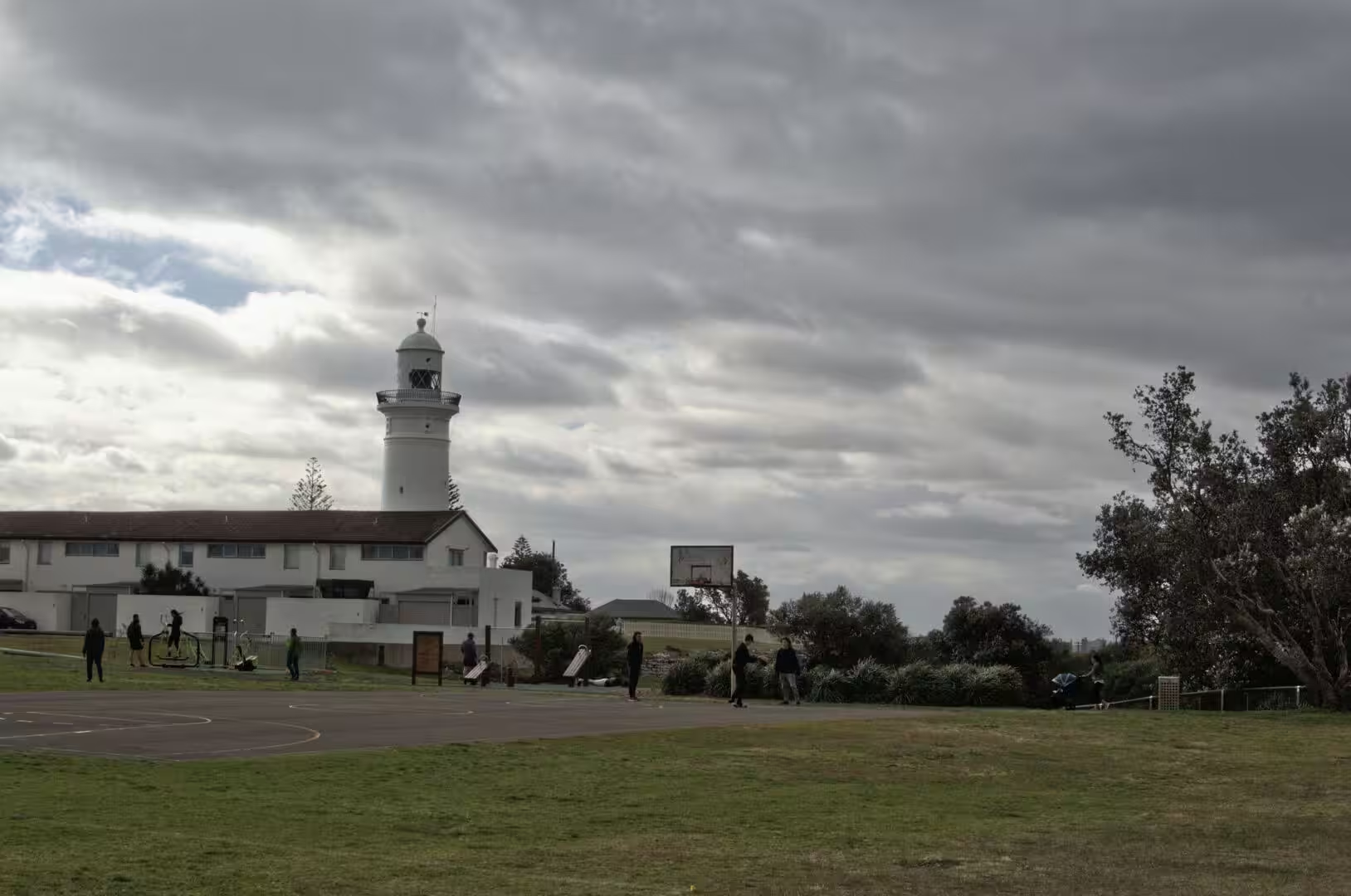
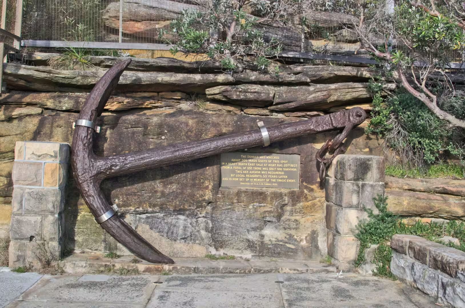
The lighthouse on the point is a monument to a disaster. The wreck of the Dunbar in 1857, in which almost everyone on board died within sight of the harbour, and the loss of another ship in the same year, led the colonial government to build the light at South Head. Hornby Lighthouse, also known as the South Head Lower Light, has been operating since 1858, it is heritage listed, and it still works. The walk to it passes the signal station and a pair of gun emplacements from the century of wars that followed the first one.
The cemetery on the cliffs is the other history of the place. Waverley Cemetery opened in 1877 on land above the sea at Bronte, and it has been in use ever since, which makes it one of the oldest continuously operating cemeteries in the country and one of the most visited. Its graves include writers, artists, politicians and soldiers, and the section given to the victims of shipwrecks and of the influenza epidemic of 1919 is a reminder of how dangerous life on this coast was. The view from the cemetery, with the ocean on three sides, is the reason people ask to be buried there.
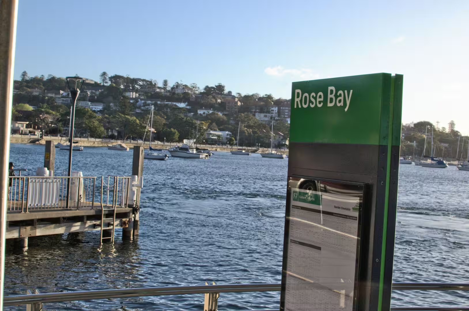
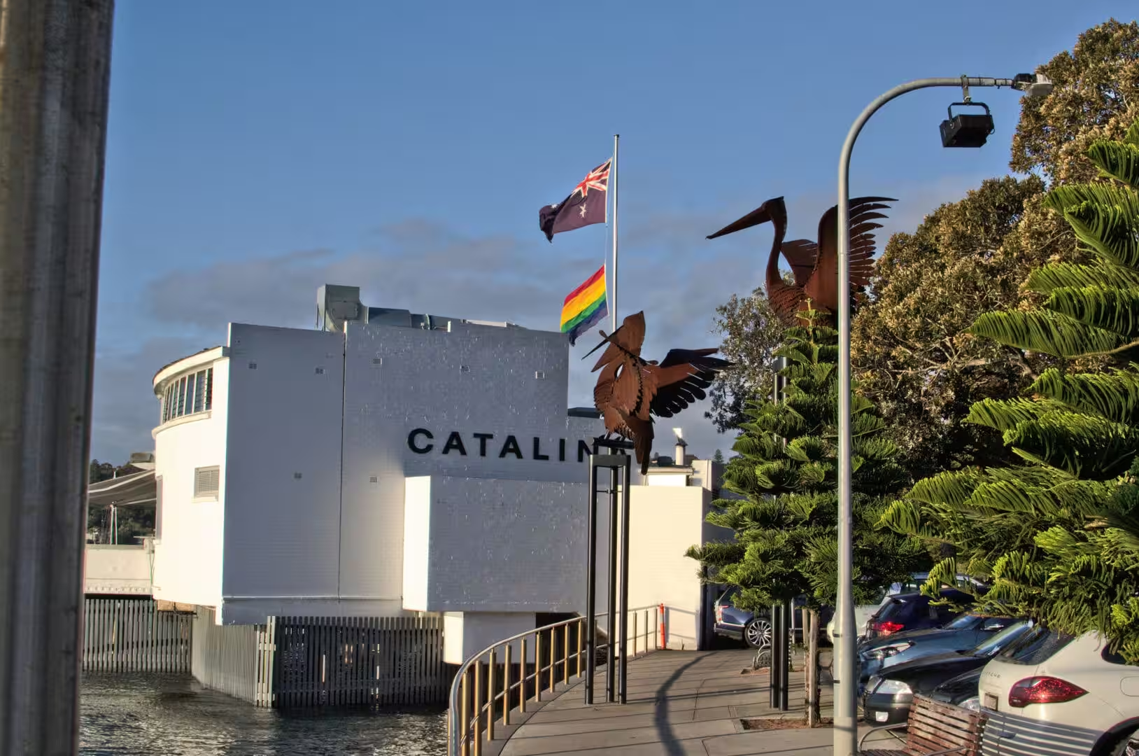
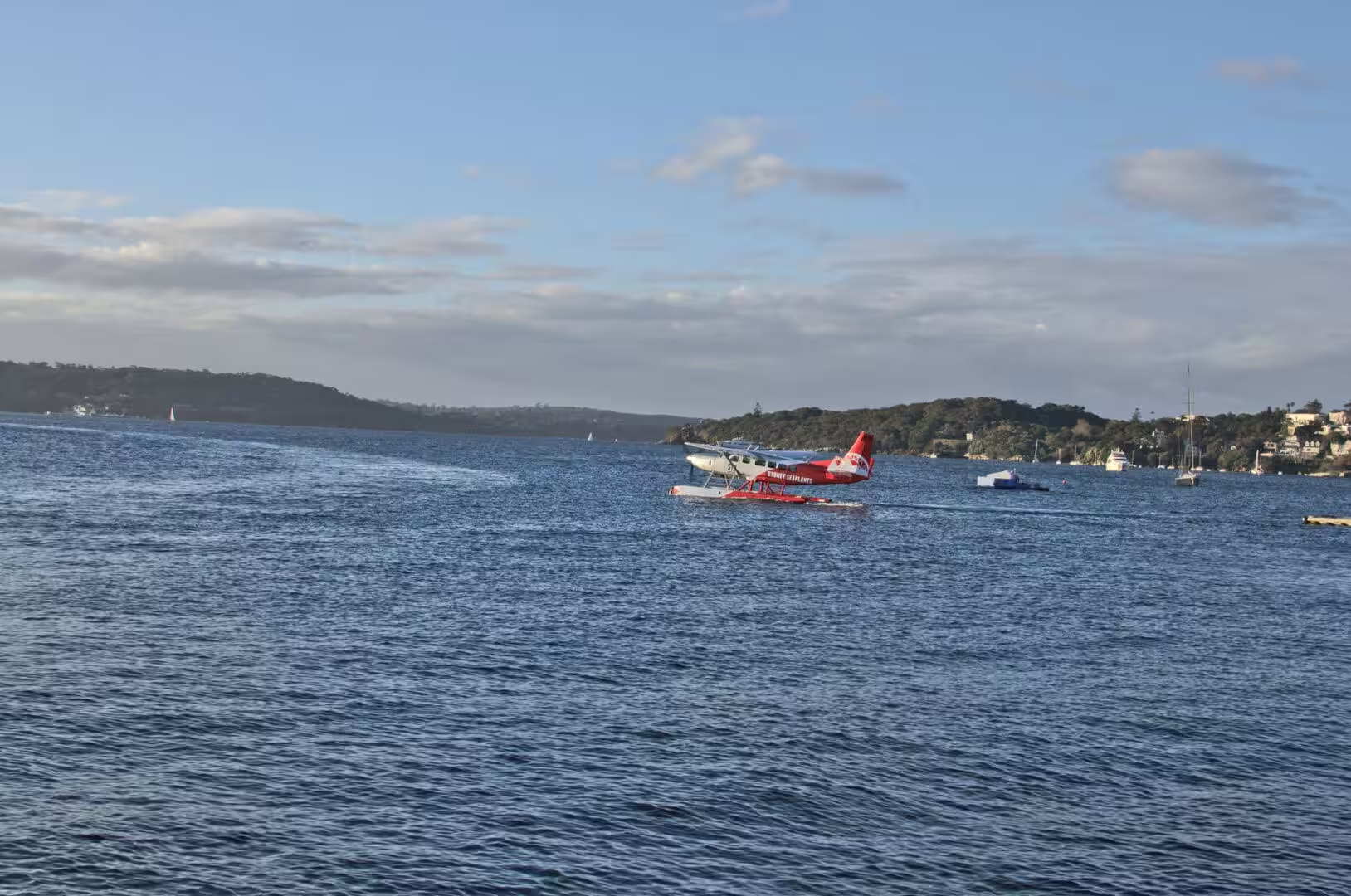
Rose Bay, at the end of the day’s ferry ride, has a history of its own. It was used to train sailors during the First World War, and from 1938 the seaplane flights between Britain and Australia began and ended on the water of the harbour at Rose Bay, which made it the first international airport of the city. On 14 September 1945 nine Catalina flying boats landed and moored at the wharf there, bringing home Australian prisoners of war from the camps of the Pacific, and the restaurant that now occupies the waterfront building of the old flying boat base still carries the name.
The harbour defences are the other layer of history on the headland. The gun emplacements at South Head and the tunnels and batteries of the two world wars were built to protect the entrance from a naval attack that never came, and the concrete structures and their observation posts are part of the landscape of the walk. The signal station beside them is still in use for the shipping that enters the port, and the stack of buildings that grew up around it is the oldest continuous maritime installation in the country.
Geology
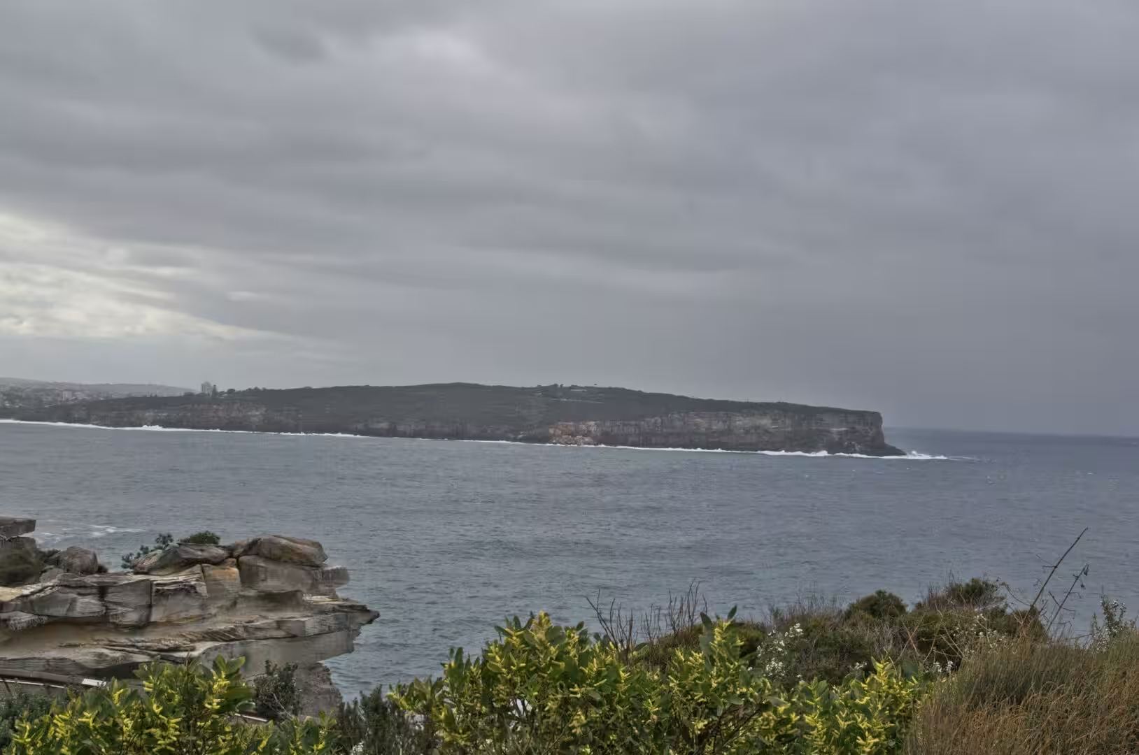
South Head is a sandstone headland, and its shape is the product of the same processes that built the harbour. The rock is the Hawkesbury sandstone of the Sydney Basin, deposited by rivers in the Triassic and cut through here by the sea at the point where the drowned valley of the harbour meets the open ocean. The cliffs on the ocean side are vertical because the waves attack the base of the rock and the joints let the blocks fall away; the harbour side is gentler, with ledges and platforms that appear at low tide.
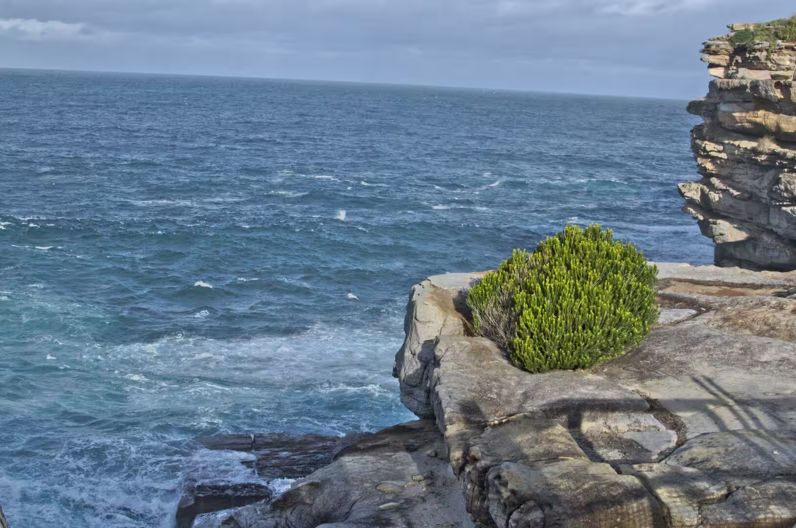
The Gap is the most dramatic of those cliffs and the best known. It is an ocean cliff at South Head in the suburb of Watsons Bay, it faces the Tasman Sea, and it is a place of strong currents, rough water and a long history of wrecks and accidents. The rock at the top of it is weathered into a rough platform, the joints run back from the edge, and the waves that reach it come from an ocean with nothing in the way. It is a place to look at from a distance and from the fenced path, and the memorials on the clifftop are part of its recent history.
The beaches that follow the cemetery to the south are the product of the same energy. Sand accumulates between the sandstone headlands where the waves lose their force, and each beach is a separate system with its own reef, its own current and its own rhythm of loss and gain. The platforms at the ends of them are cut into the sandstone, the pools in the rock hold the animals of the intertidal zone, and the whole coast is a working geology lab that people happen to live on.
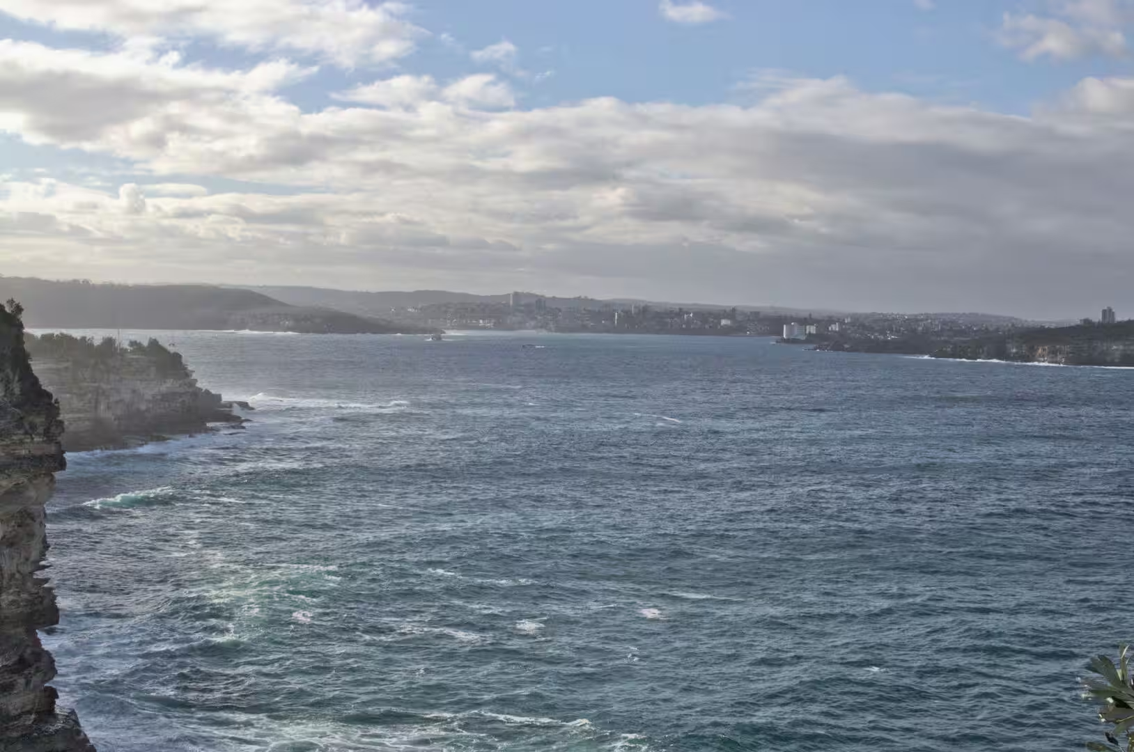
Out to sea the coast changes character with the depth of the water. The Tasman Sea reaches here across thousands of kilometres of open ocean, and the swells that arrive have been built by storms and by the winds of the roaring forties far to the south. The interval between the waves is long, which is why the surf on this coast arrives in clean lines rather than as a chop, and why the cliffs at the base of the headlands are under constant attack while the water inside the heads stays calm.
The cliffs have a structure that is worth looking at closely. The sandstone is bedded in horizontal layers, and the ledges and shadows on the face follow the bedding, with the harder bands standing out as shelves and the softer ones hollowed out beneath them. The face of the Gap is a single joint plane that the sea has exploited, and the falls of rock that have happened there are the result of the same structure: a block detached along a joint and lost to the water below.
Things to See
The walk along the cliffs is the main activity of the day and can be done in stages. The path from Watsons Bay leads past the signal station and the gun emplacements to the Gap, then climbs the ridge to the cemetery at Bronte, and continues along the clifftop past the beaches to the south. It is fenced where it needs to be, it is exposed to the wind, and it needs water and a hat; the whole of it takes three hours, and the sections can be linked by buses if the weather changes.
The cemetery deserves an hour of its own. The rows of headstones on the slope, the family vaults, the chapel and the paths between them make a place that is both a garden and an archive, and the names record the history of the eastern suburbs: the shipwrights, the publicans, the writers and the families who came from Ireland and England in the nineteenth century and from everywhere else in the twentieth. Visitors should follow the signs about respect for the graves, and the paths are steep in places.
The lighthouse at the tip of the headland is the end point of the clifftop walk and one of the best places in the city to watch the ocean. The path down to the light passes the signal station and the memorial to the wreck of the Dunbar, the water on both sides is deep, and the view north takes in the entrance to the harbour with the ferries coming and going. The building is small, striped and painted, and it has the proportions of a piece of working equipment rather than of a monument.
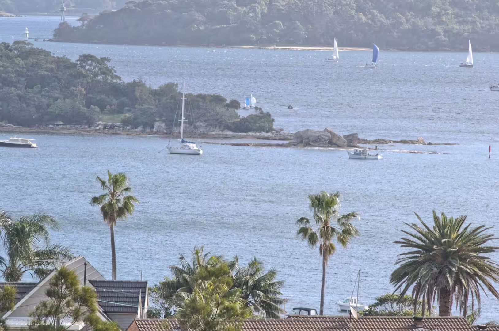
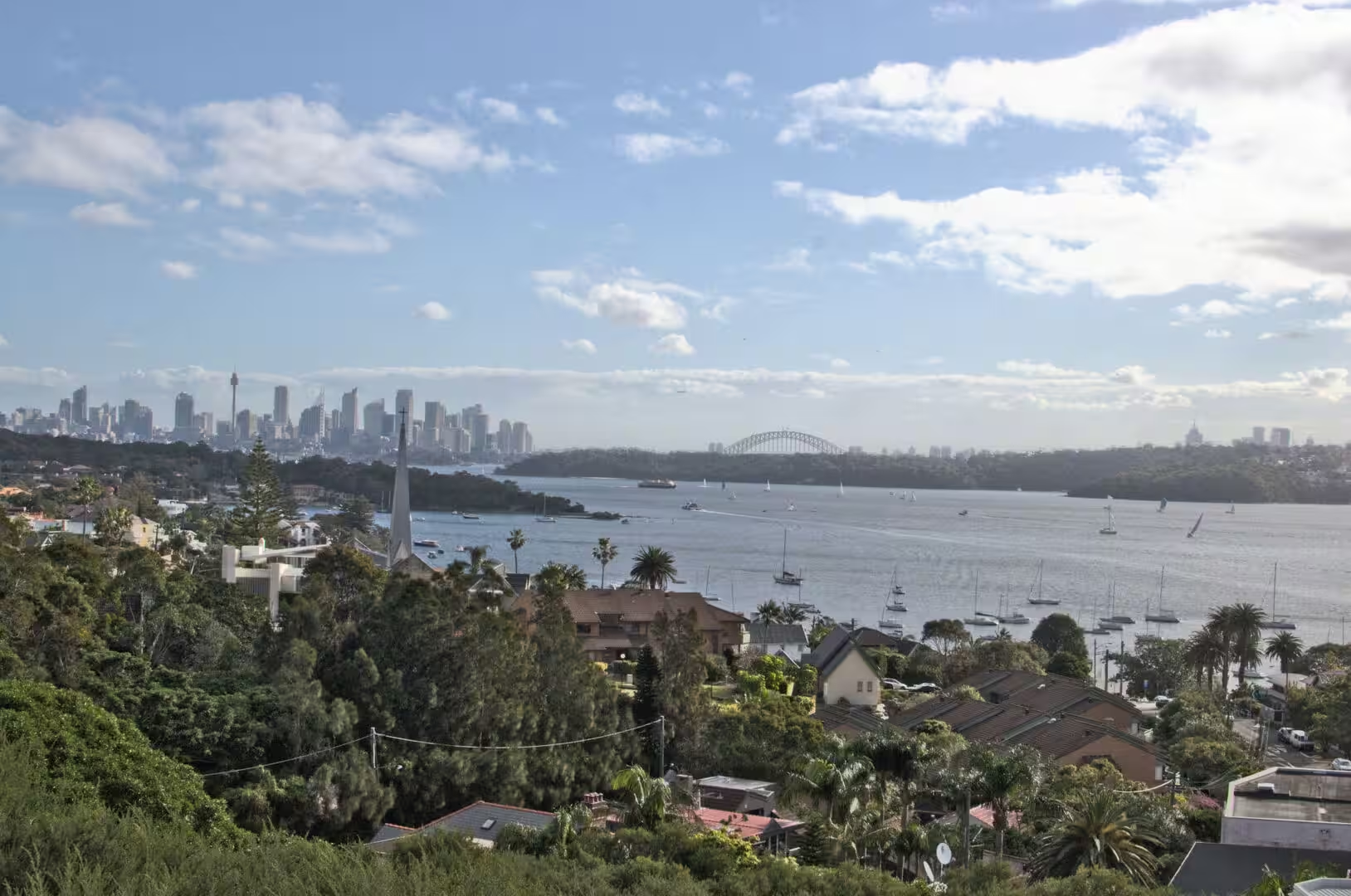
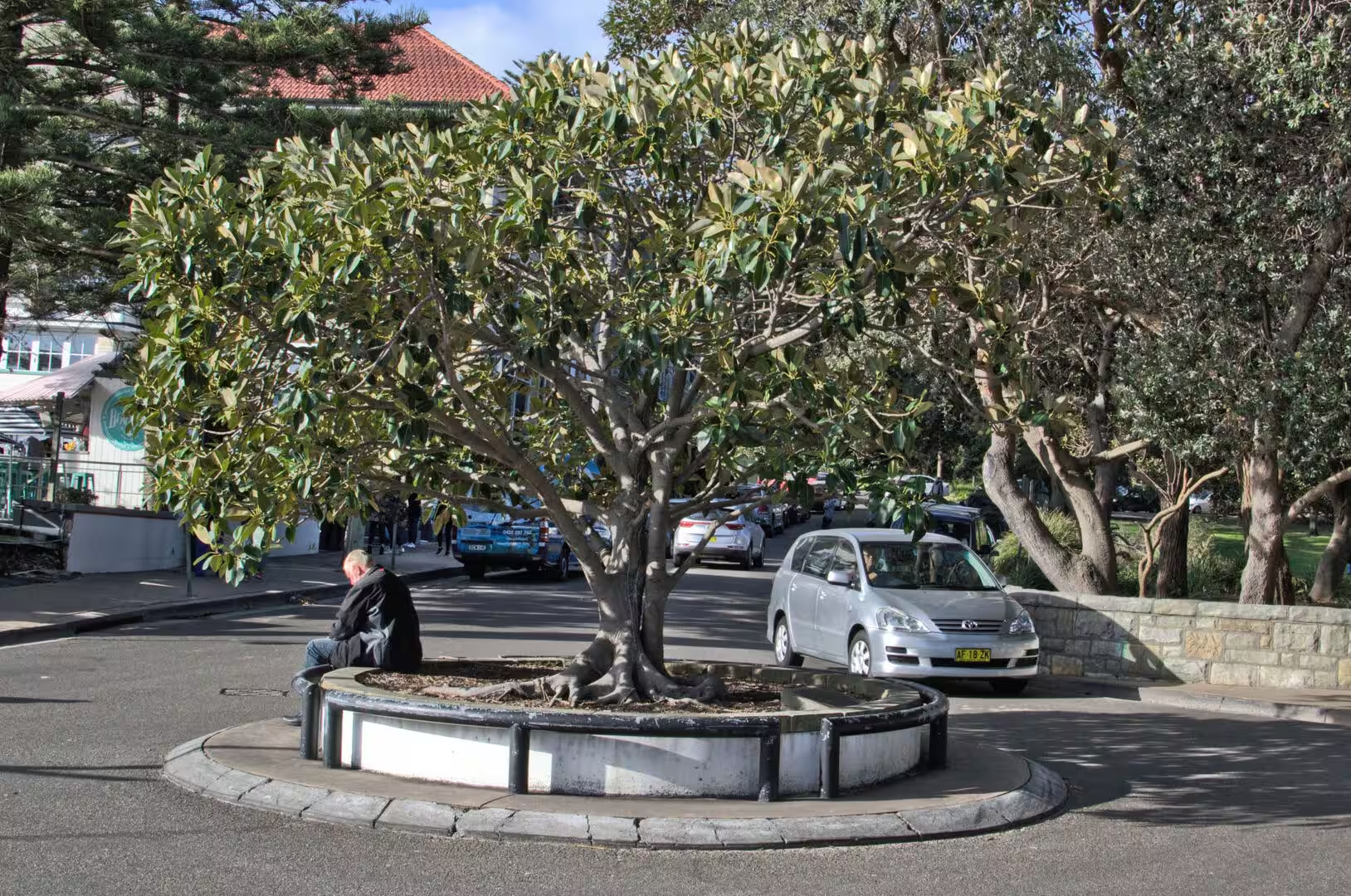
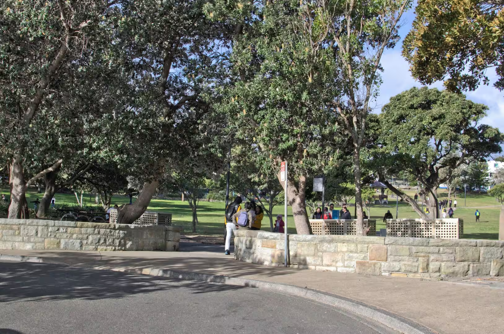
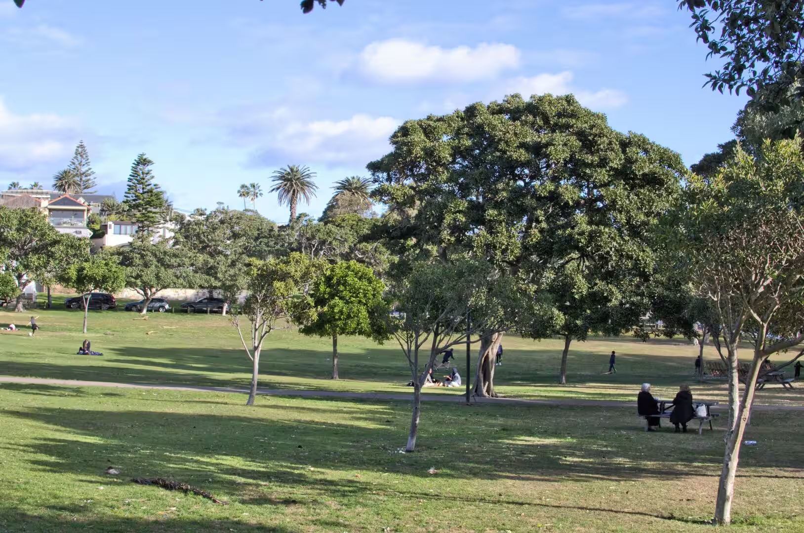
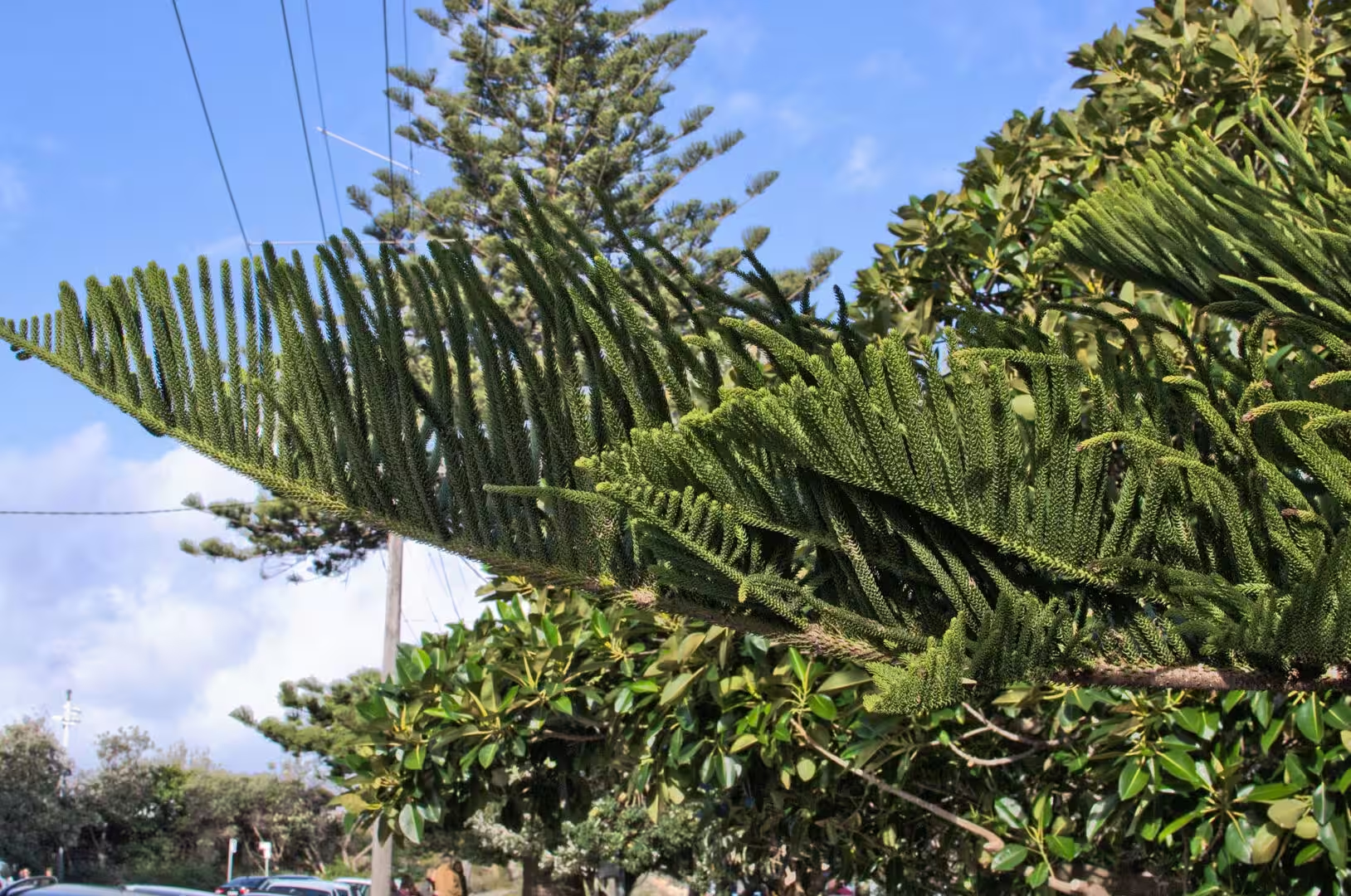
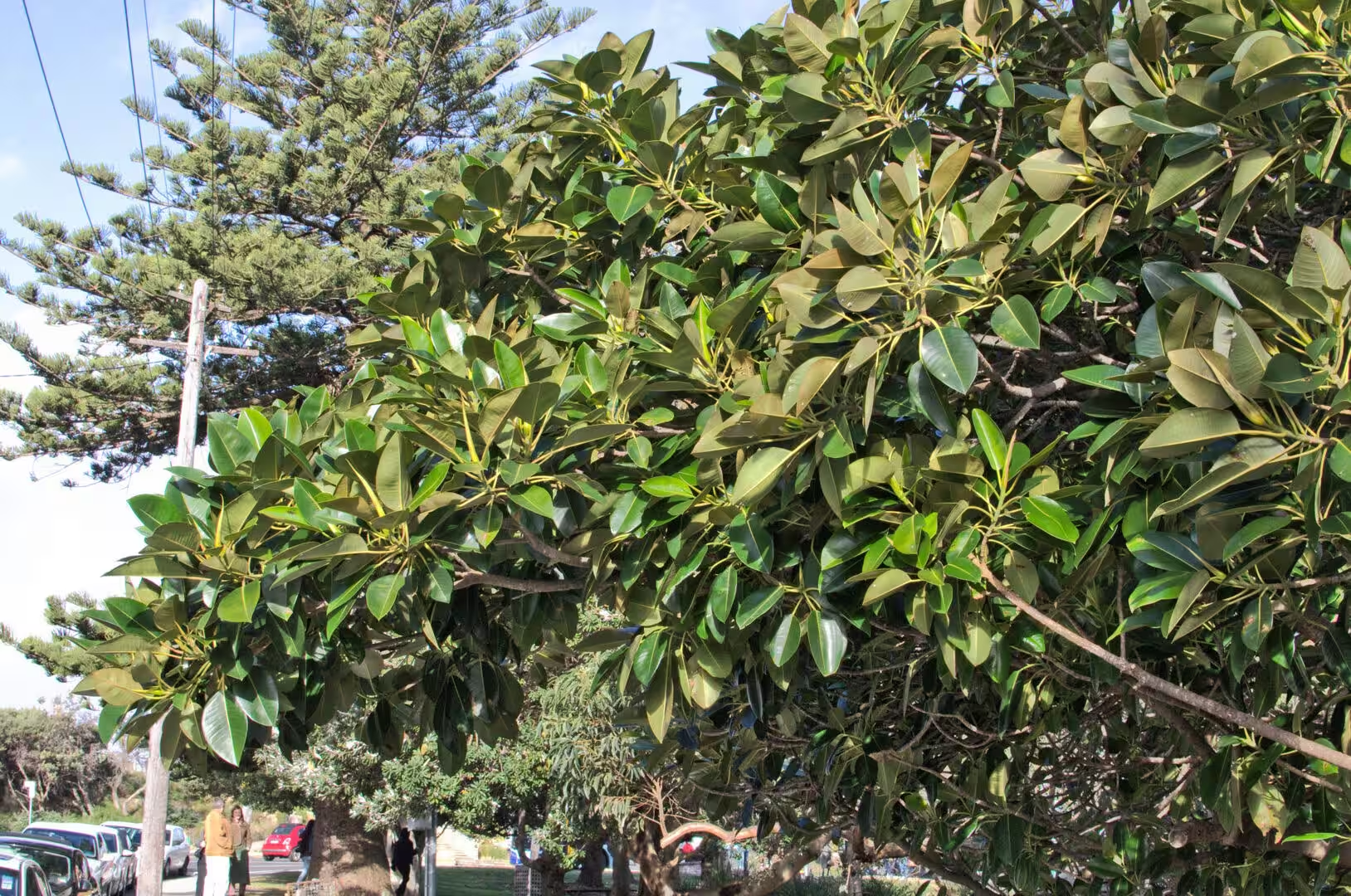
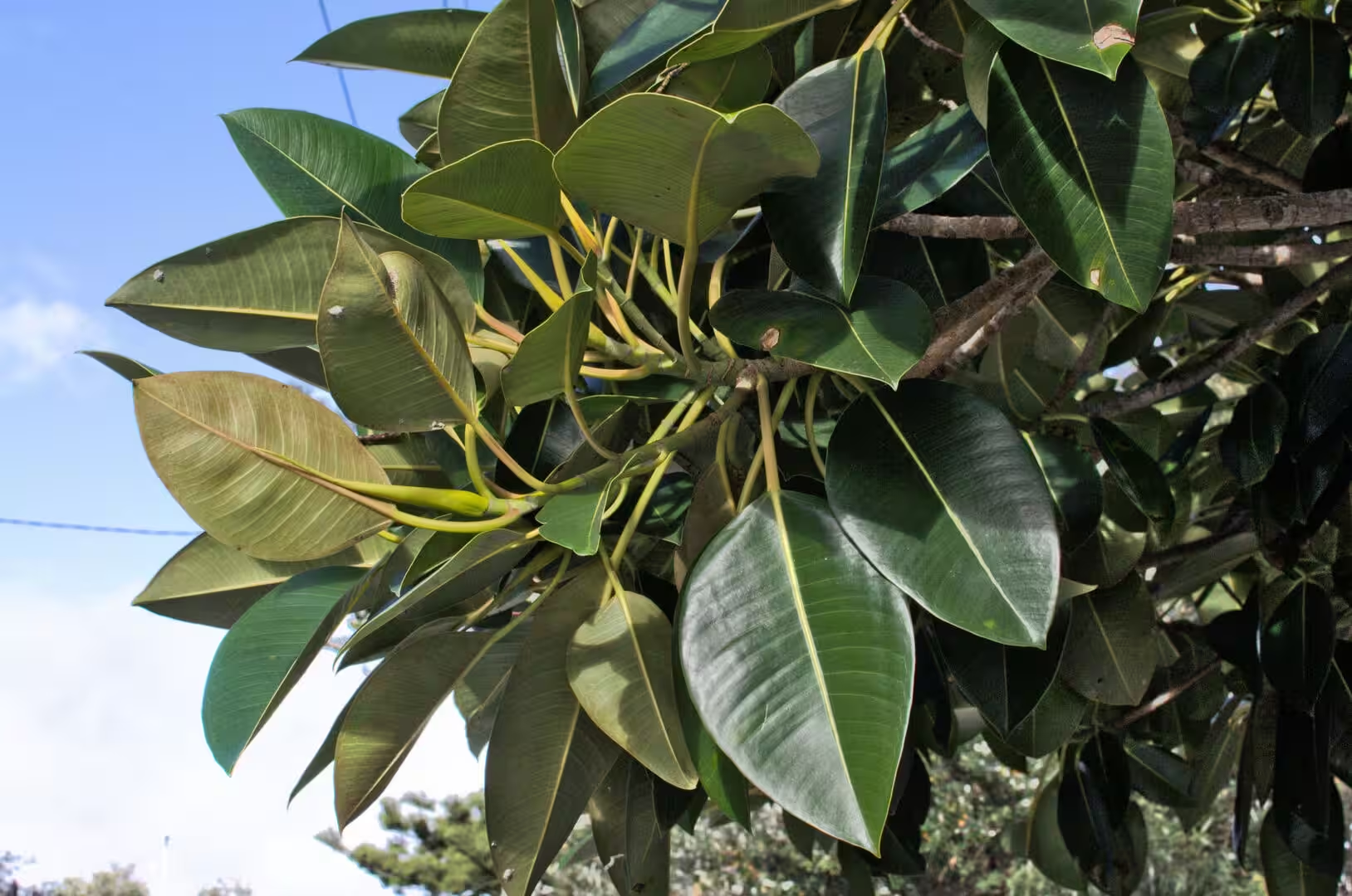
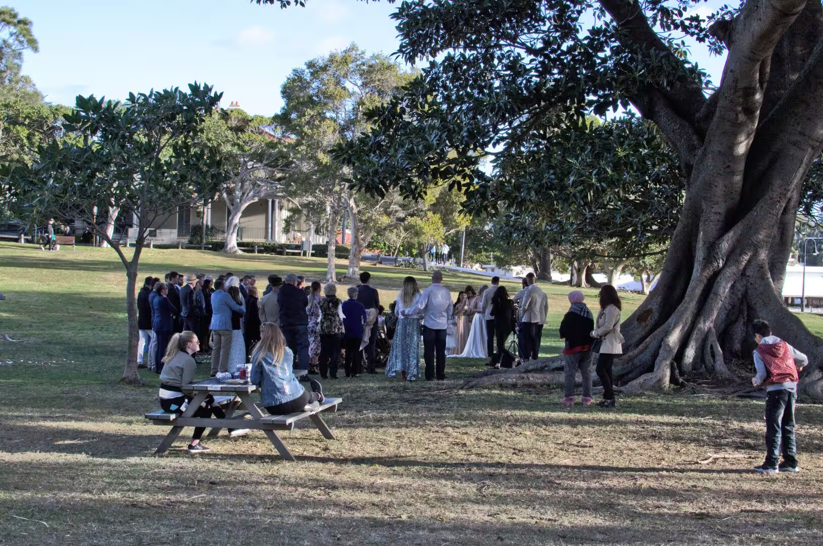
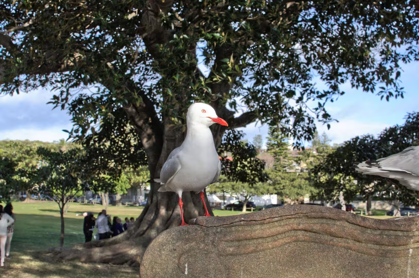
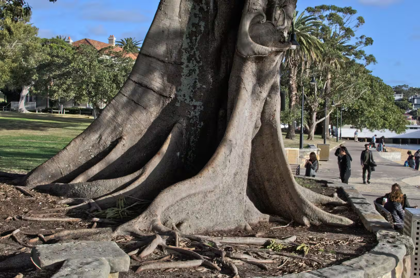
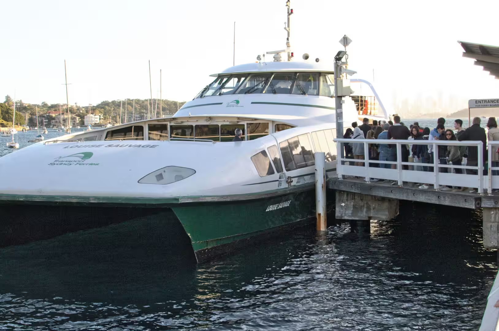
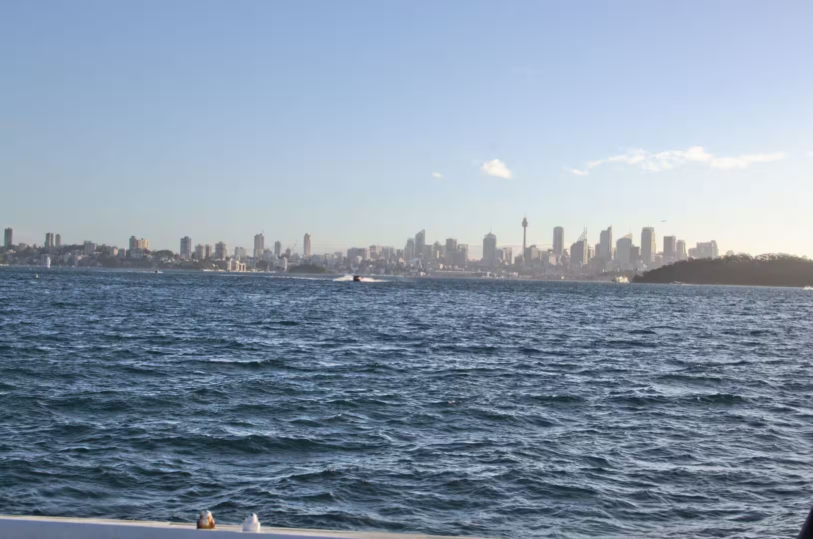
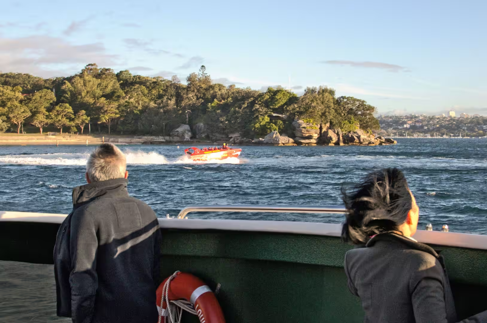
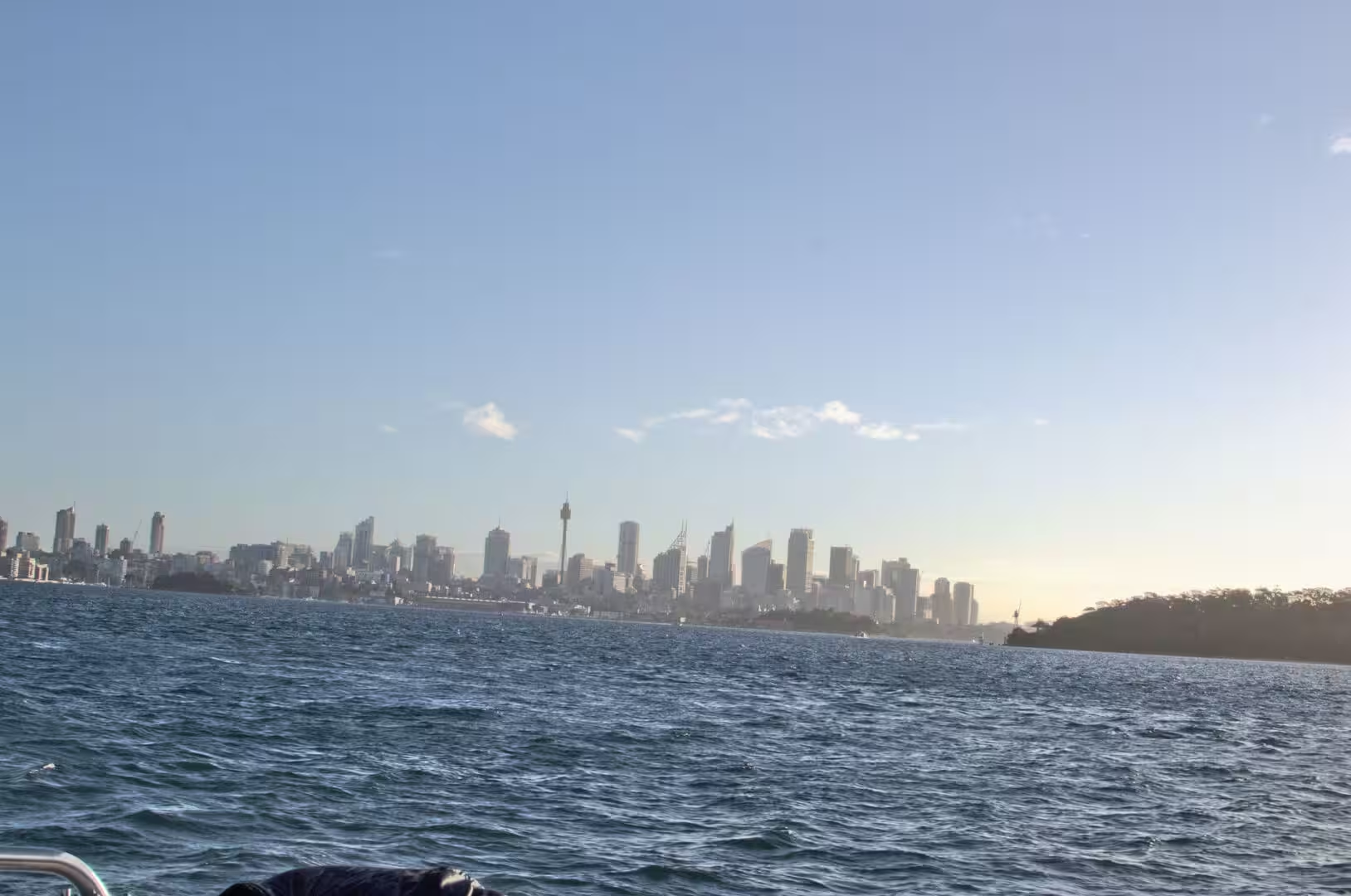
The return by ferry from Rose Bay is the civilised end to the day. The boat crosses the harbour past the naval base and the islands, the skyline stands above the water, and the view from the deck at the end of the afternoon is the one that appears in every account of the city. The fig trees in the park at Watsons Bay, with roots that spread across the grass like walls, are worth a last look before the bus leaves; a silver gull standing on a boulder in the park is the most visited bird in the country, and it knows it.
A word on the practicalities of the cliff walk is worth having. The path is exposed, so a hat and water are necessary and an umbrella is useless; the buses along the coast roads connect the beaches if the weather turns; and the ferry from Watsons Bay or Rose Bay is a better way home than the road at the end of the afternoon. The cafes at both ends of the walk are busy at lunchtime, and the bakery at Watsons Bay is the traditional stop for the travellers who have just come off the cliffs.
References
- Wikipedia contributors (2026). Sydney. en.wikipedia.org/wiki/Sydney
- Wikipedia contributors (2026). Sydney Harbour. en.wikipedia.org/wiki/Sydney%20Harbour
- Wikipedia contributors (2026). Sydney Ferries. en.wikipedia.org/wiki/Sydney%20Ferries
- Wikipedia contributors (2026). Manly ferry. en.wikipedia.org/wiki/Manly%20ferry
- Wikipedia contributors (2026). Manly, New South Wales. en.wikipedia.org/wiki/Manly%2C%20New%20South%20Wales
- Wikipedia contributors (2026). Mosman, New South Wales. en.wikipedia.org/wiki/Mosman%2C%20New%20South%20Wales
- Wikipedia contributors (2026). Taronga Zoo. en.wikipedia.org/wiki/Taronga%20Zoo
- Wikipedia contributors (2026). Bondi Beach. en.wikipedia.org/wiki/Bondi%20Beach
- Wikipedia contributors (2026). Coogee, New South Wales. en.wikipedia.org/wiki/Coogee%2C%20New%20South%20Wales
- Wikipedia contributors (2026). Tasman Sea. en.wikipedia.org/wiki/Tasman%20Sea
- Wikipedia contributors (2026). Sydney Basin. en.wikipedia.org/wiki/Sydney%20Basin
- Wikipedia contributors (2026). Hawkesbury sandstone. en.wikipedia.org/wiki/Hawkesbury%20sandstone
- Wikipedia contributors (2026). Sydney Harbour National Park. en.wikipedia.org/wiki/Sydney%20Harbour%20National%20Park
- Wikipedia contributors (2026). Watsons Bay. en.wikipedia.org/wiki/Watsons%20Bay
- Wikipedia contributors (2026). Port Jackson. en.wikipedia.org/wiki/Port%20Jackson
- Pells P. (2018) Engineering properties of the Hawkesbury Sandstone. Engineering Geology of the Sydney Region. 179-197. doi.org/10.1201/9780203757390-10
- Jernakoff P. (1985) Interactions between the limpet Patelloida latistrigata and algae on an intertidal rock platform. Marine Ecology Progress Series. 23. 71-78. doi.org/10.3354/meps023071