Stage 3 of 3
2017 Sydney II 1



























































Journal Notes
General
The second stay in Sydney was a harbour holiday. The city is built around water in a way that no other Australian city manages, and after a few weeks in the desert the effect is almost disorienting: ferries run like buses, the beaches face the ocean within the city limits, and a boat trip of half an hour passes islands, forts, a funfair and two of the most recognisable buildings in the world.
The arrival was by air, and the last minutes of the flight are the best advertisement the city has. The aircraft comes in over the southern suburbs, crosses the coastline at low altitude with the beaches and the rock platforms visible below, and lands on a runway that runs out into the water with red roofed houses and a crane at the end of it. The terminal, in the middle of December, was hung with Christmas garlands.
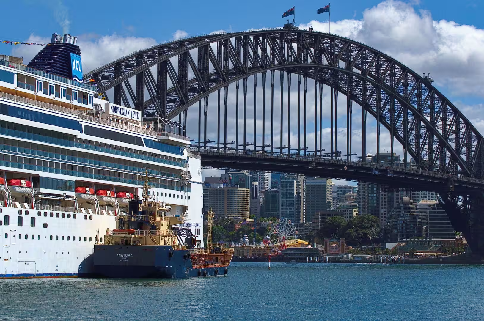
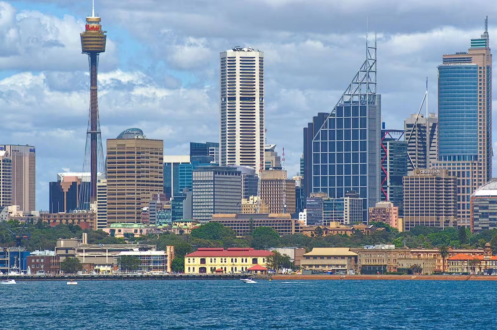
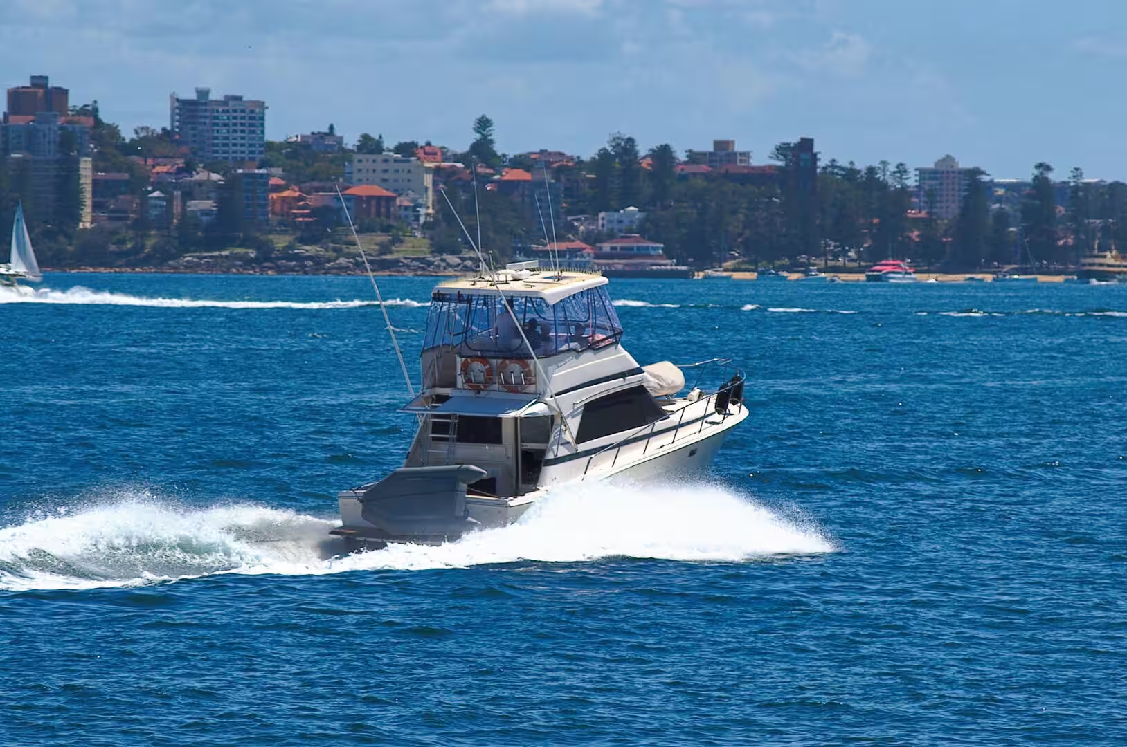
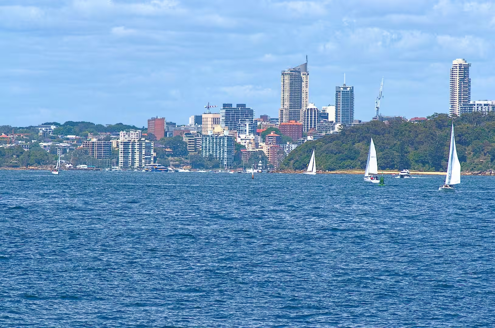
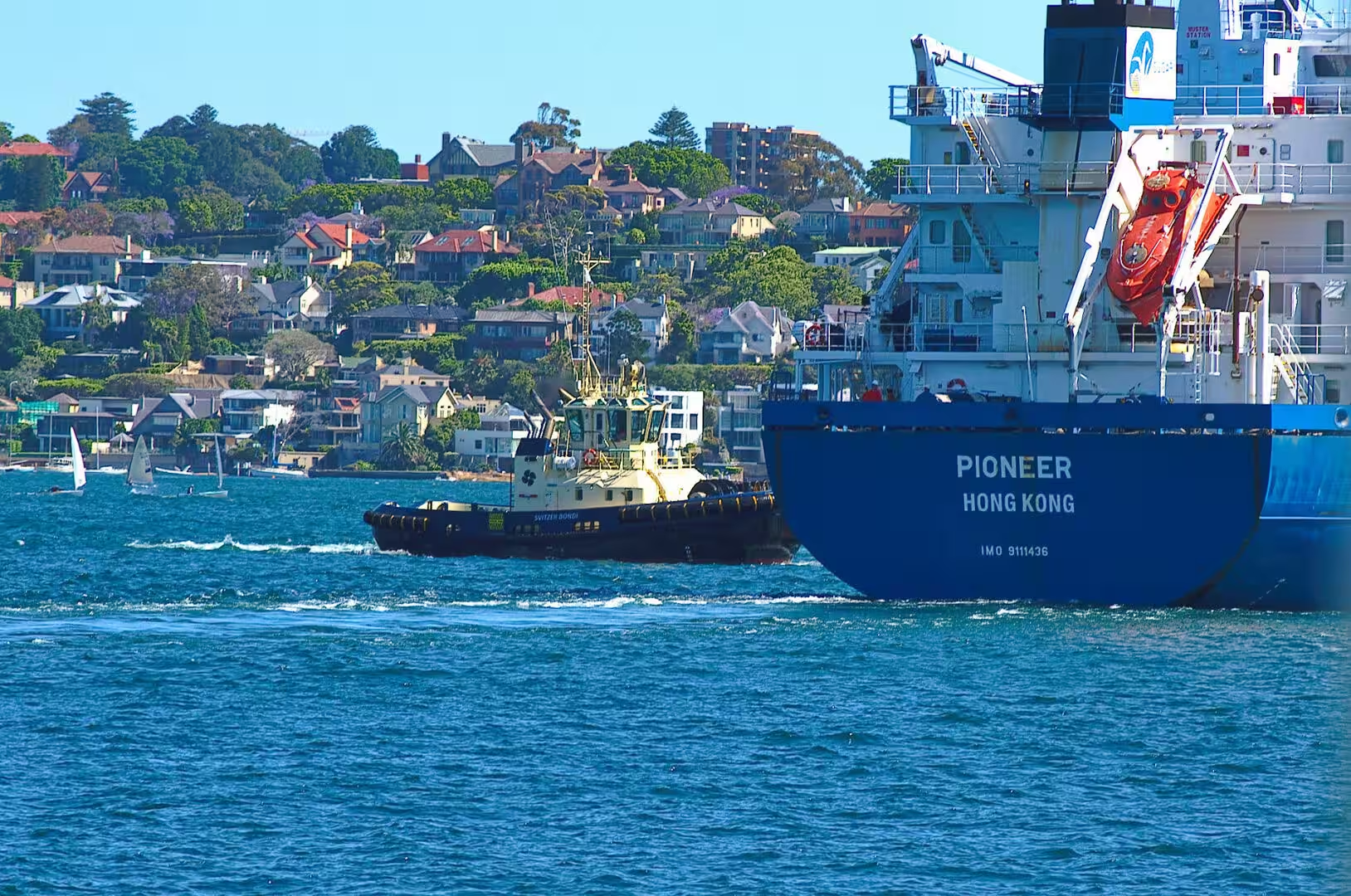
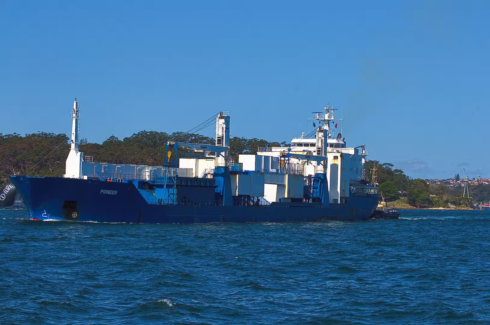
The first full day began with a ferry and never really left the water. The boat crossed the harbour past the Opera House and the bridge, passed a cruise ship the size of a small town moored at Circular Quay, and put in at a wharf on the north shore. From the water the city looks like what it is: a working port with a skyline attached, and the ferries are the cheapest way to see it.
The evening belonged to the harbour as well. The lights came on in the towers, the ferries kept running, and the Christmas tree in one of the city squares was lit with a crowd around it. In the southern hemisphere the festival arrives in the hottest weeks of the year, and Sydney celebrates it accordingly: outdoors, on the water, and late into the evening.
The city in December is a study in how a festival is adapted to a climate. Christmas trees stand in the squares, the shops are decorated, the carols are sung by choirs in the open air, and none of it has anything to do with snow. The temperature on the harbour was in the middle twenties and the water was warm enough for a long swim, and the crowds on the ferries were dressed for the beach. It is the same festival, moved six months out of phase, and the city has made its peace with the contradiction.
History
Sydney Harbour has been the centre of the city since the first fleet anchored in it in 1788. The water that made the settlement possible also made it rich, and the evidence is scattered across the harbour: wharves, fortifications, shipyards, a naval base and a string of islands that have been used for almost everything at some point in their history.
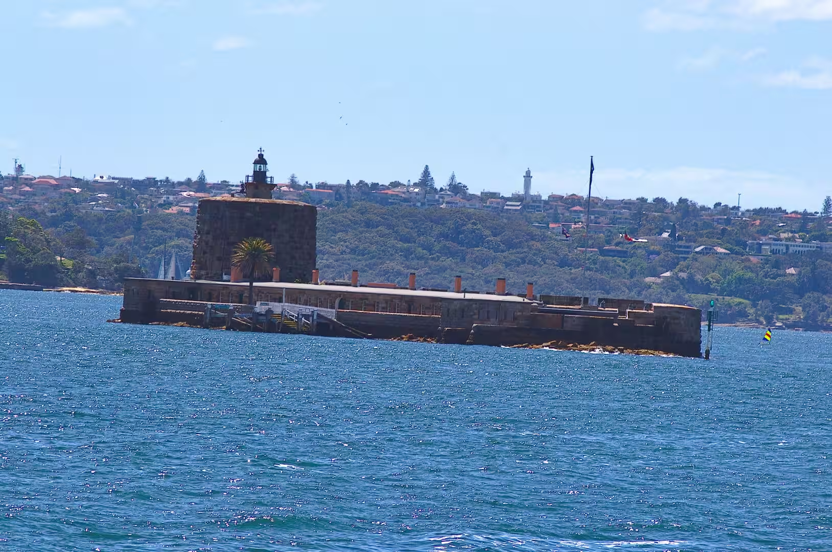
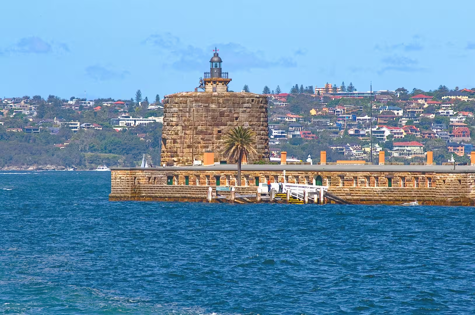
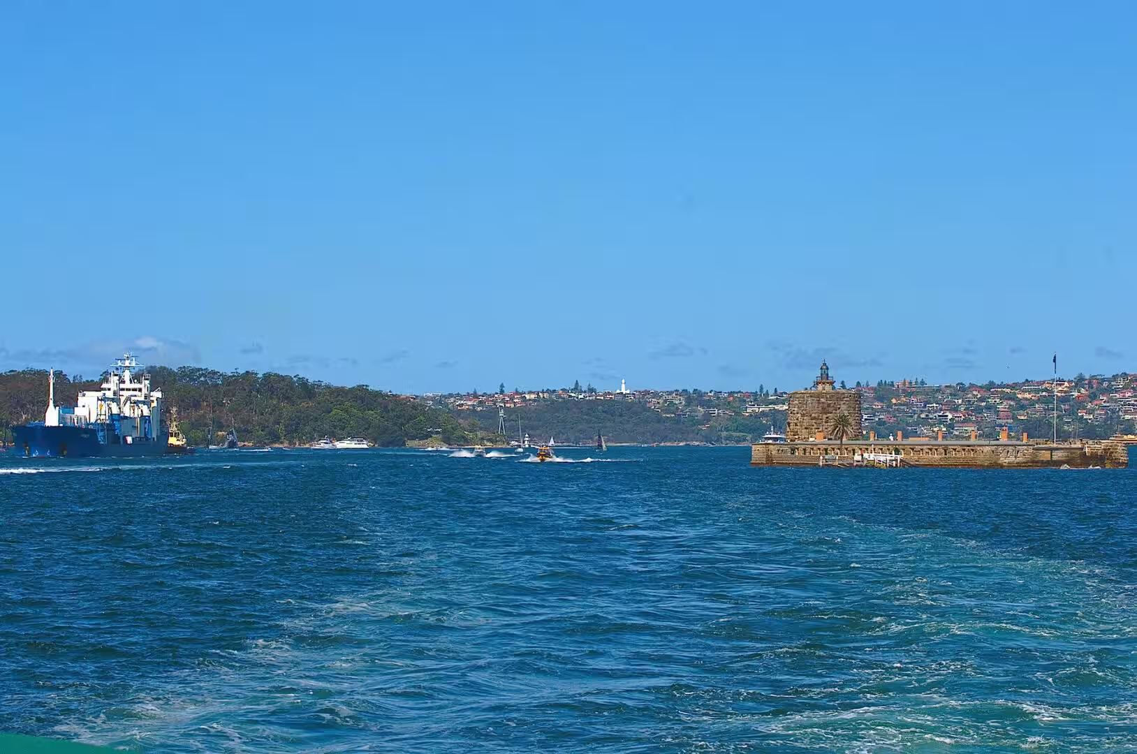
The most interesting of those islands is the small sandstone one in the middle of the harbour. Fort Denison is a former penal site and defensive facility on an islet about a kilometre east of the Opera House, and it carries three names: the Eora names Mattewanye and Muddawahnyuh, the English name Pinchgut, and the name of the governor after whom the fort was called. In 1788 a convict was sentenced to a week on bread and water there in irons, and the nickname Pinchgut came from the punishment. The islet was levelled by convict labour and the fort was designed by the colonial engineer George Barney and built between 1840 and 1862, with a Martello tower that is one of the last of its kind built anywhere in the world. It is now part of the Sydney Harbour National Park, and it still carries the time gun, the navigation lights and a tide gauge.
On the northern shore, at Milsons Point, the other landmark of the harbour is a face. Luna Park was built in 1935, about six hundred metres from the northern approach to the Harbour Bridge, and its grinning entrance has been part of the city’s image ever since. The park has had a difficult history, closing and reopening several times, but the face and the heritage listed rides are still there, and the view back across the water to the bridge and the city is worth the ferry fare on its own.
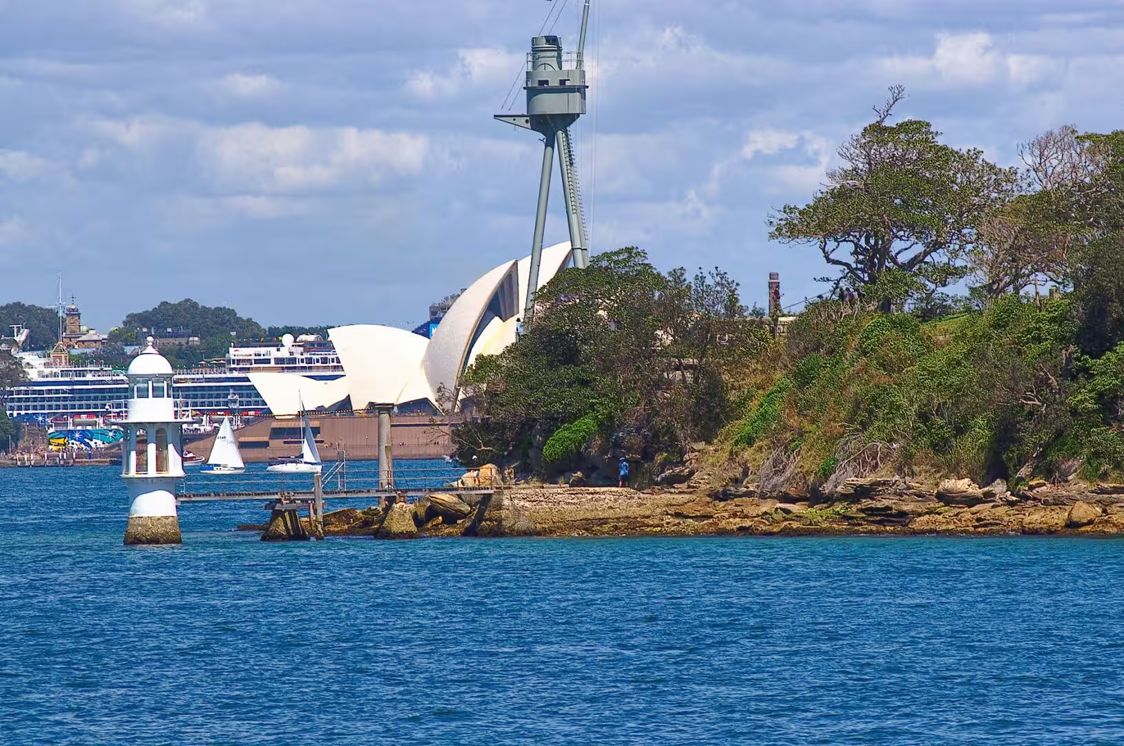
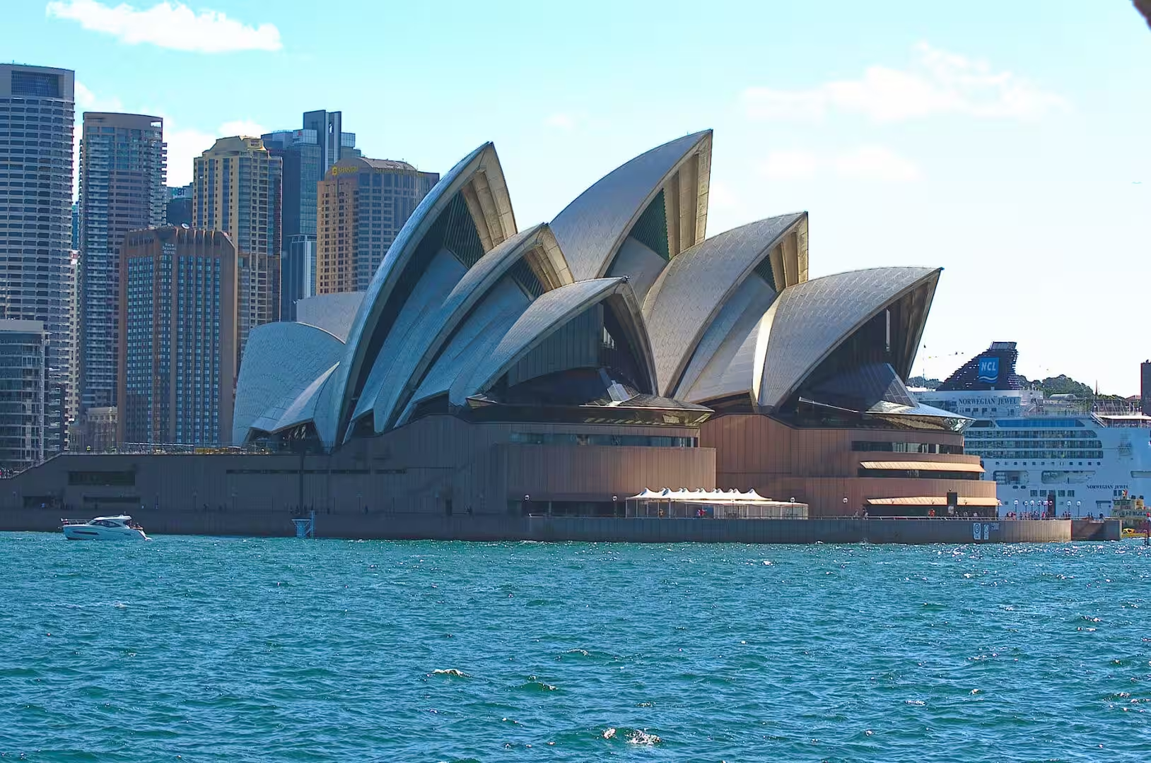
The Opera House and the Harbour Bridge need no introduction, and both are best seen from the water. The bridge was opened in 1932, the Opera House in 1973, and between them they defined the shape of the harbour for the twentieth century. The naval base on Garden Island, the passenger terminal at Circular Quay and the cruise ships that now fill the western side of the cove are the twenty first century version of the same arrangement: a harbour that exists to be used, and to be looked at while it is being used.
The history of the harbour is also a history of what has been taken out of it. The oyster beds of the early colony were worked until they were exhausted, the whaling and sealing industries used the harbour as a base, the shipyards of the inner west built everything from ferries to warships, and the water itself carried the sewage and the industrial waste of a growing city for a century before the clean up of the 1970s and 1980s. The harbour that looks natural from a ferry is a managed environment, and the management is the reason the water is now clear enough to swim in.
Geology
The harbour is the flooded valley of a river, and its shape is the shape of the drainage that existed when the sea was much lower. The Parramatta River and its tributaries cut their channels through the sandstone during the ice ages, and when the ice melted and the ocean rose by more than a hundred metres, the sea came up the valleys and drowned them. What is left is a harbour with deep channels, shallow flats, drowned hills that stand as islands, and a shoreline of hundreds of kilometres.
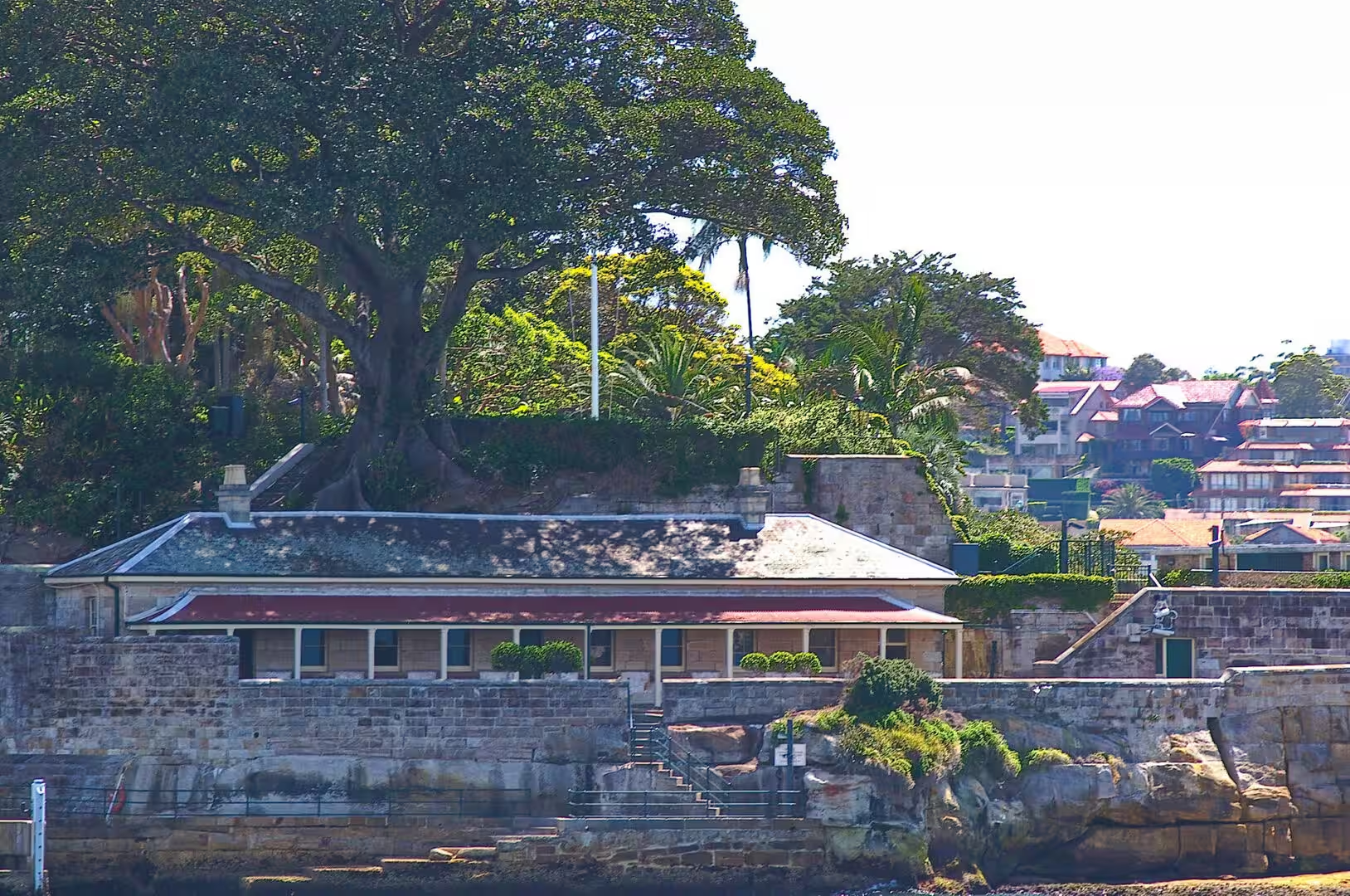
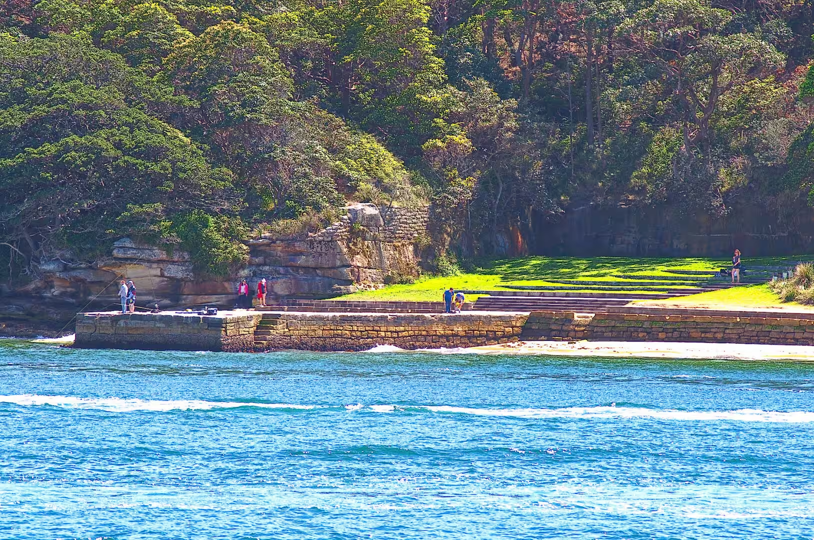
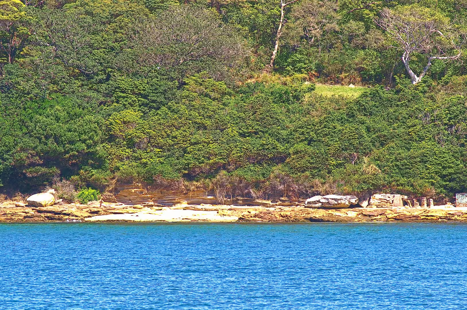
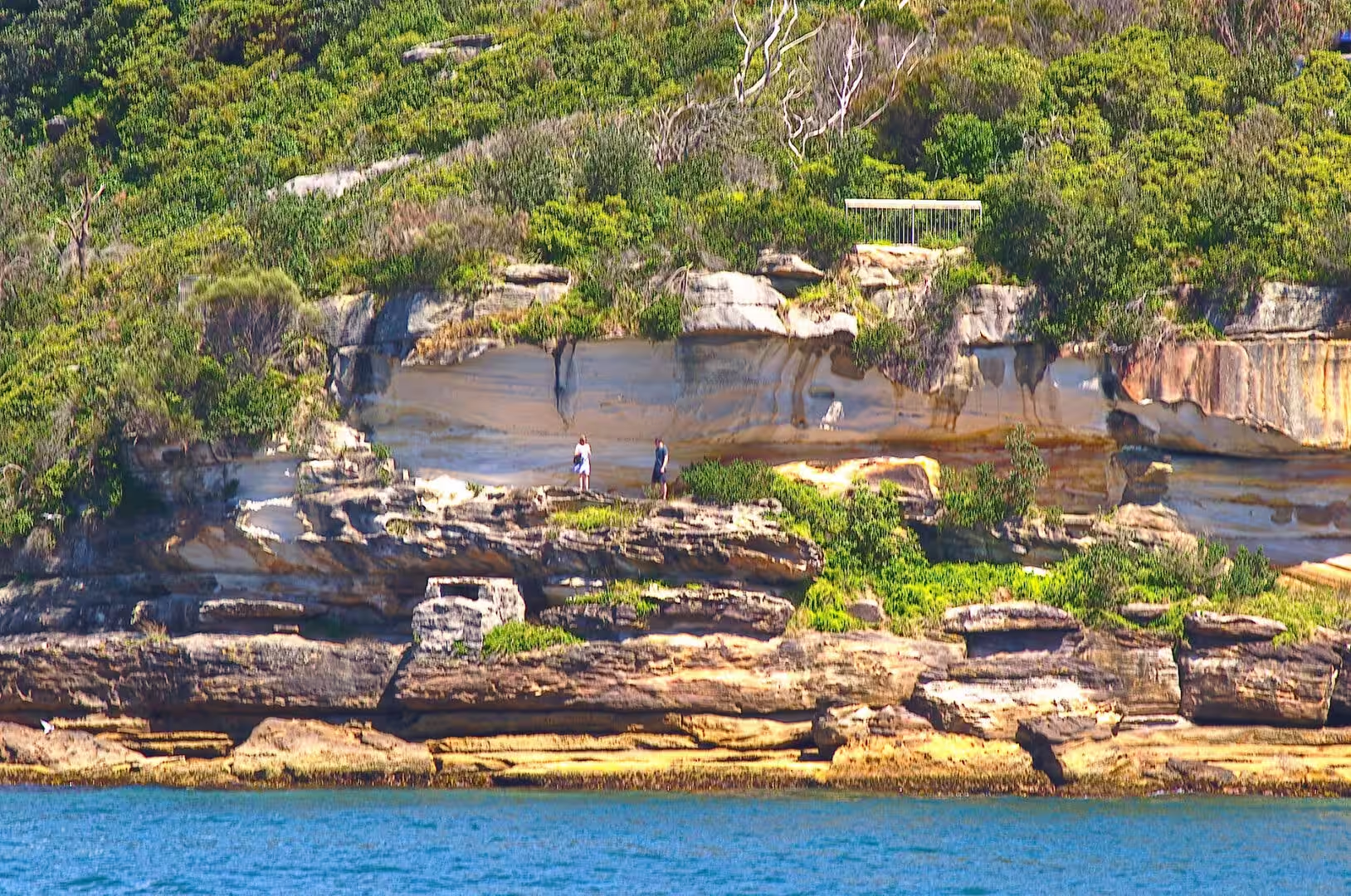
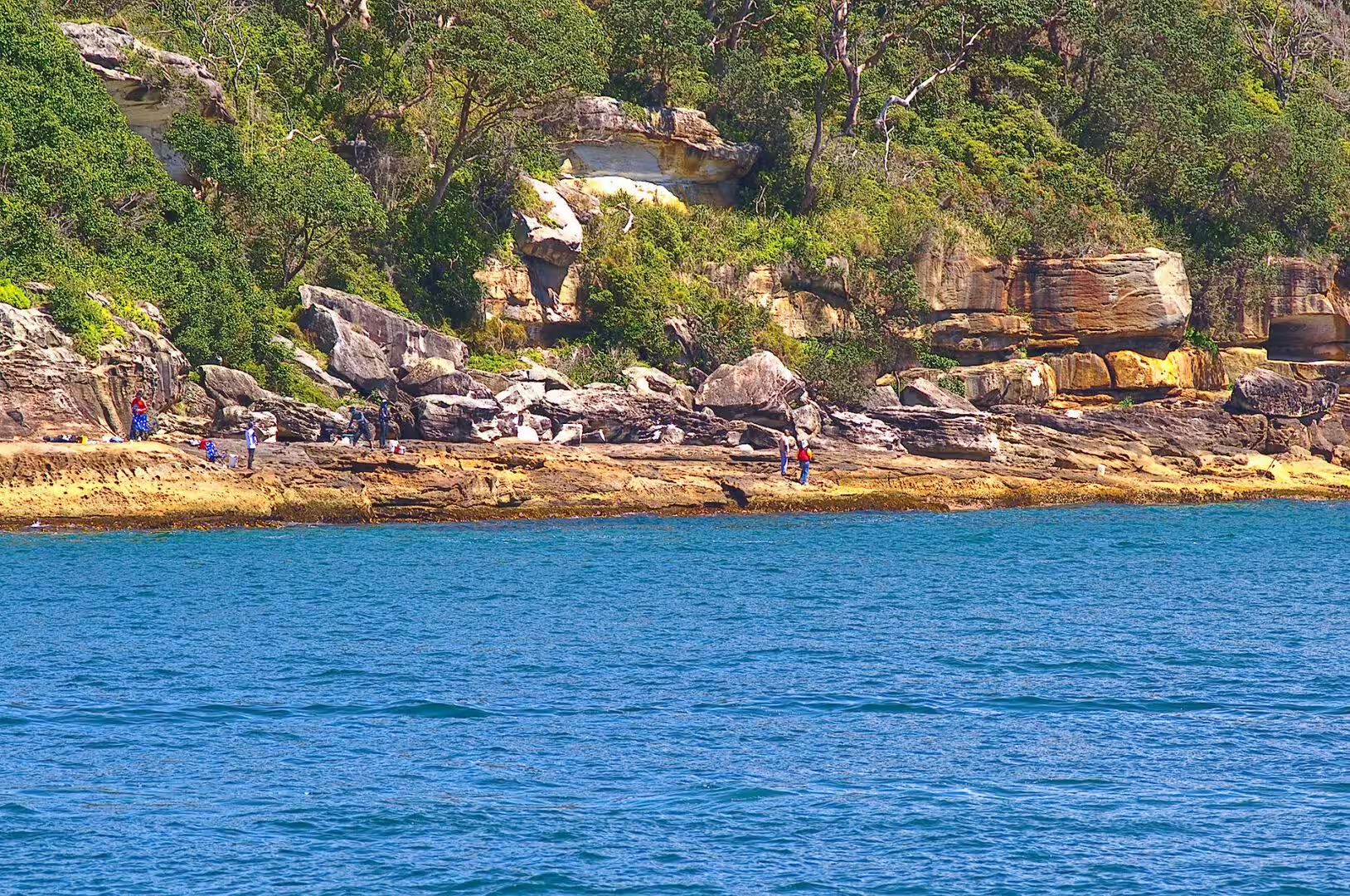
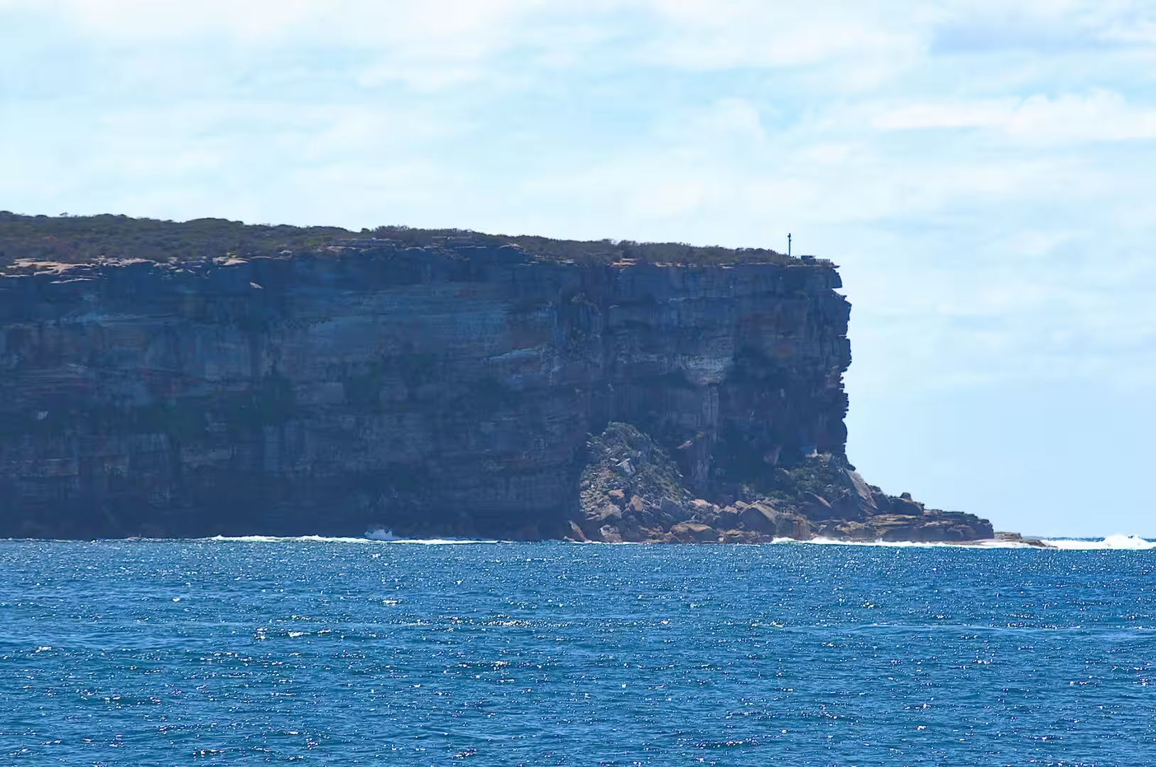
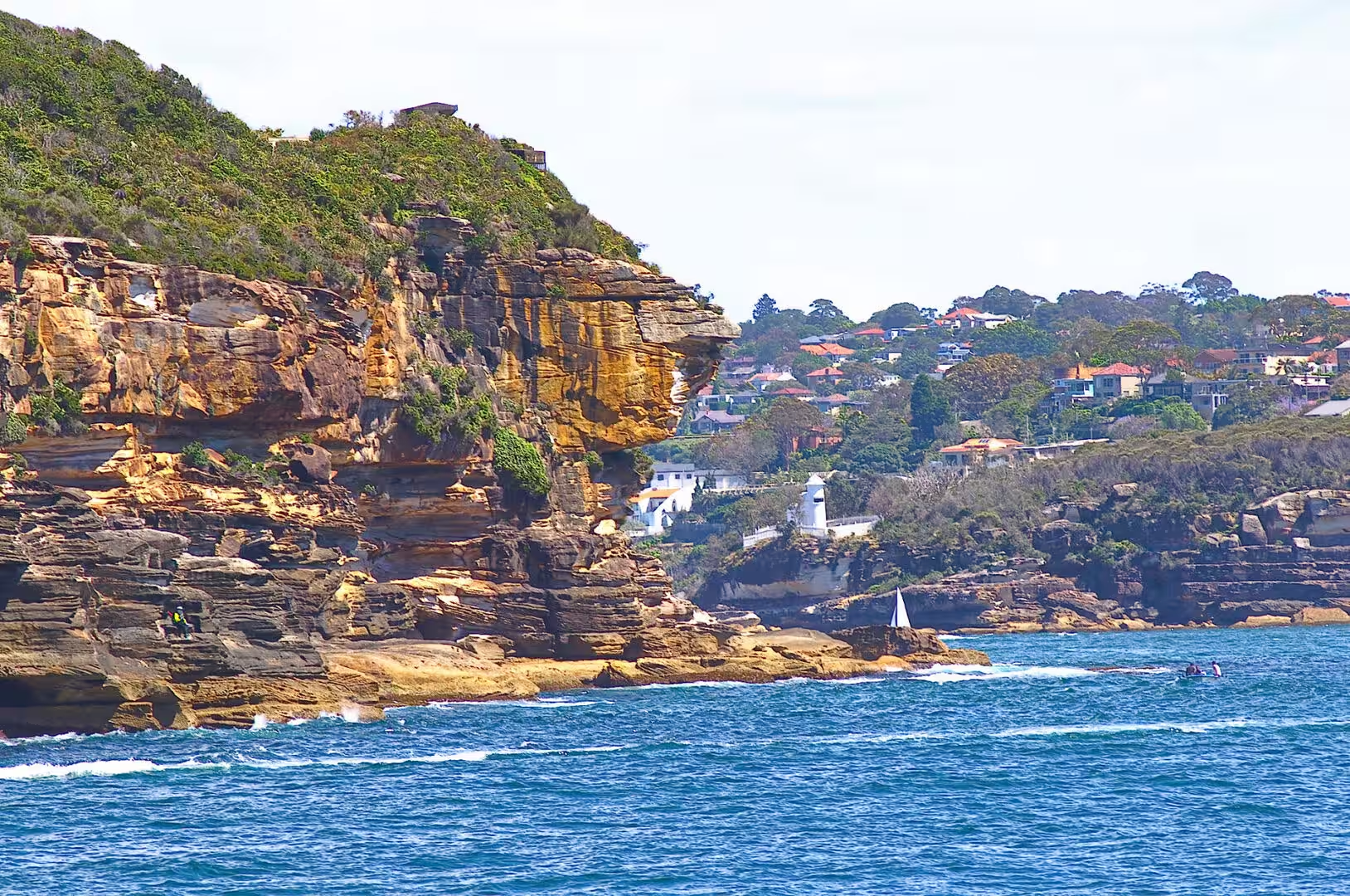
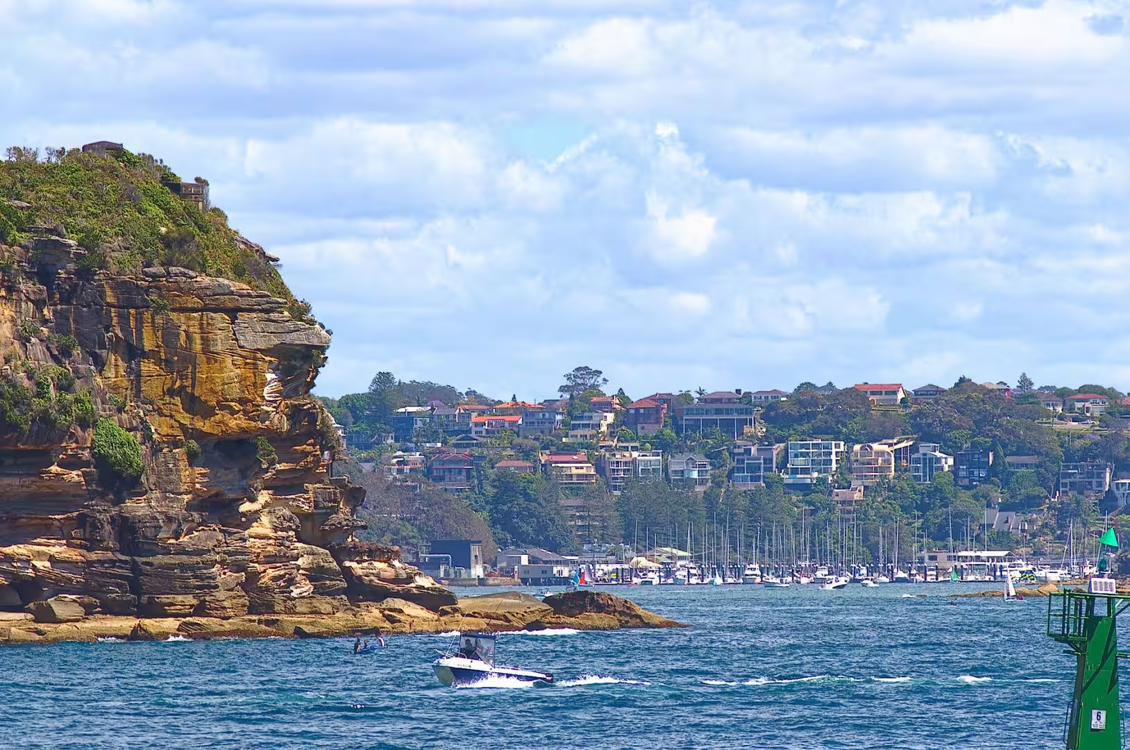
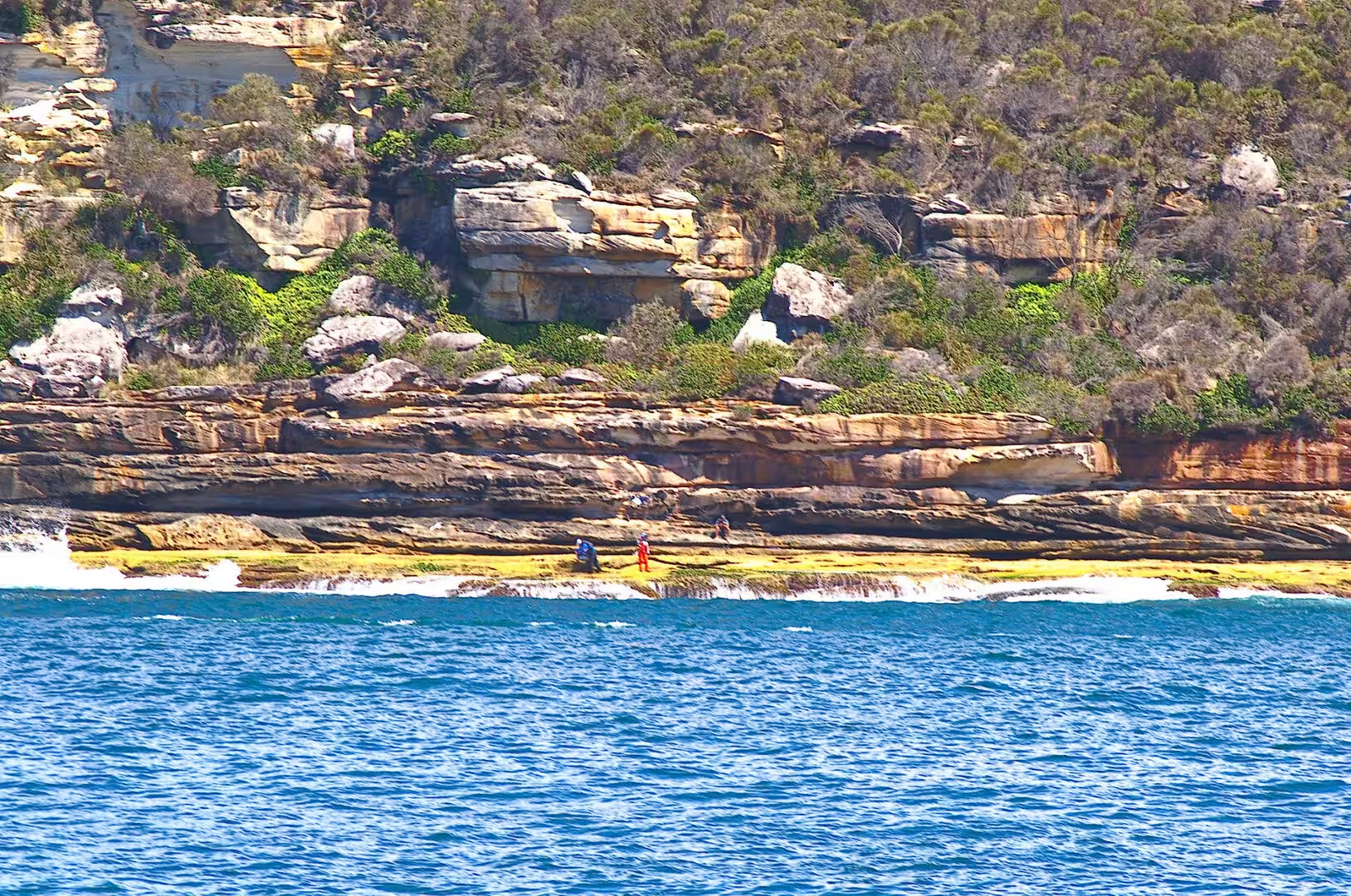
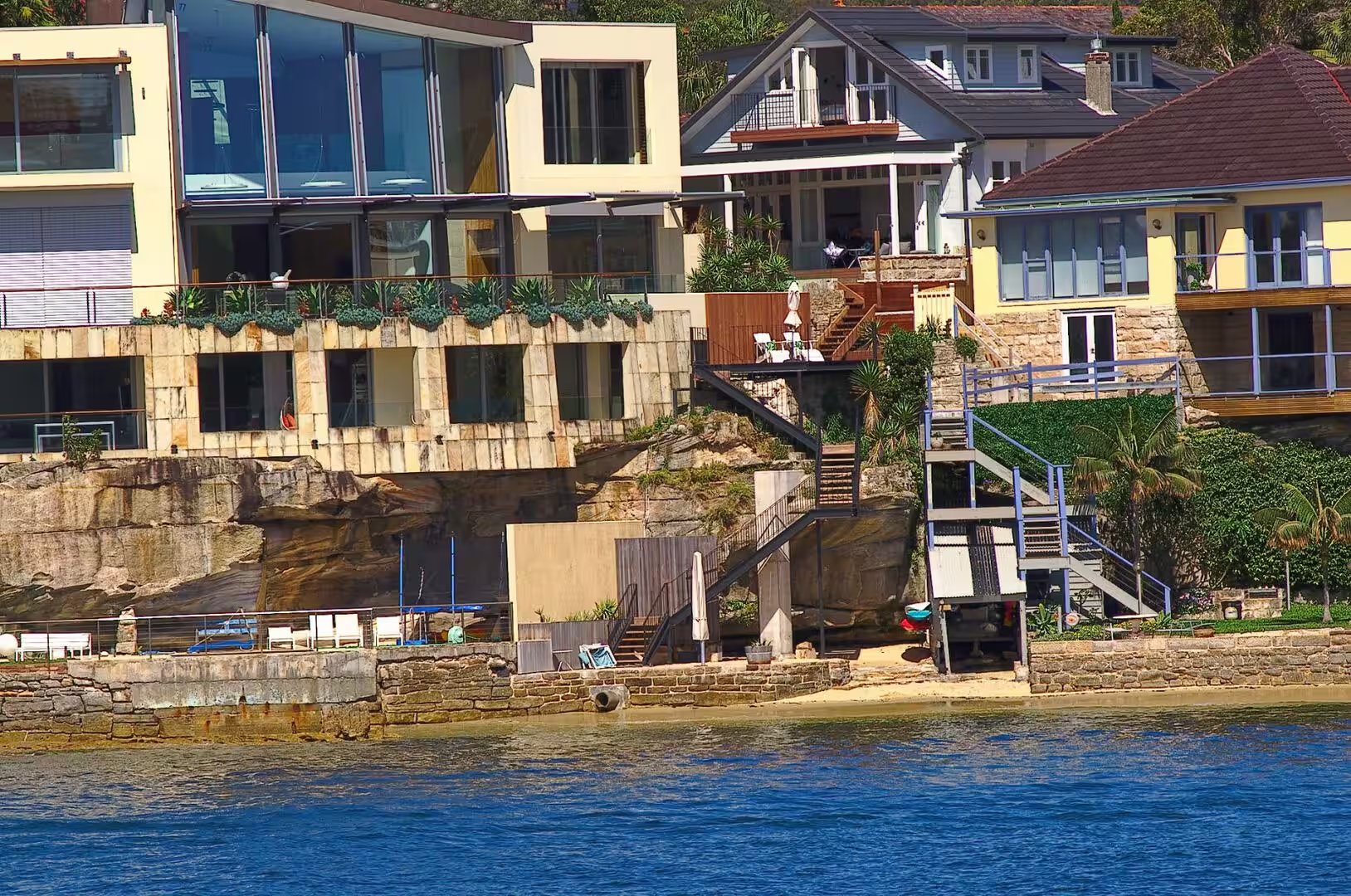
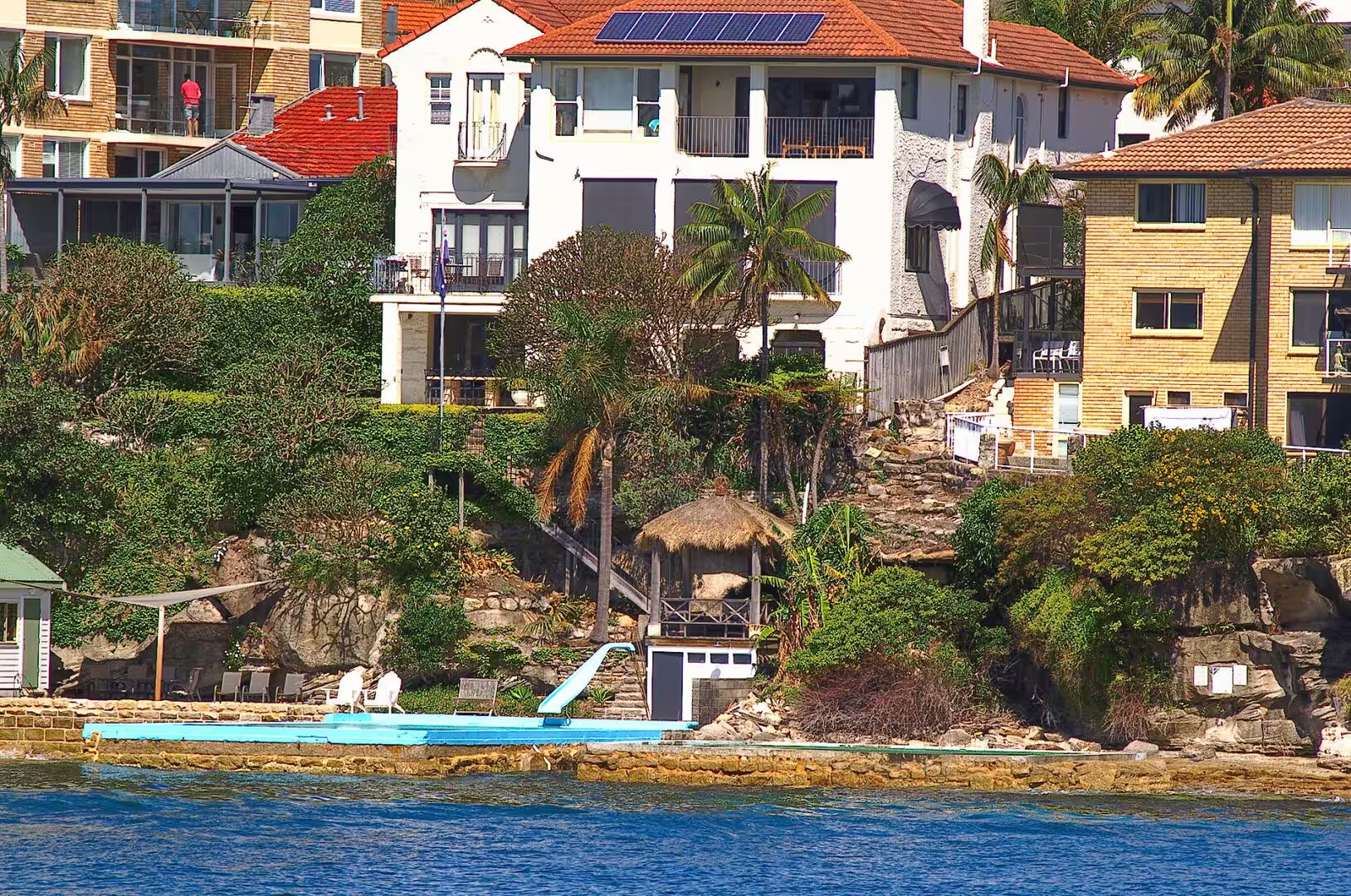
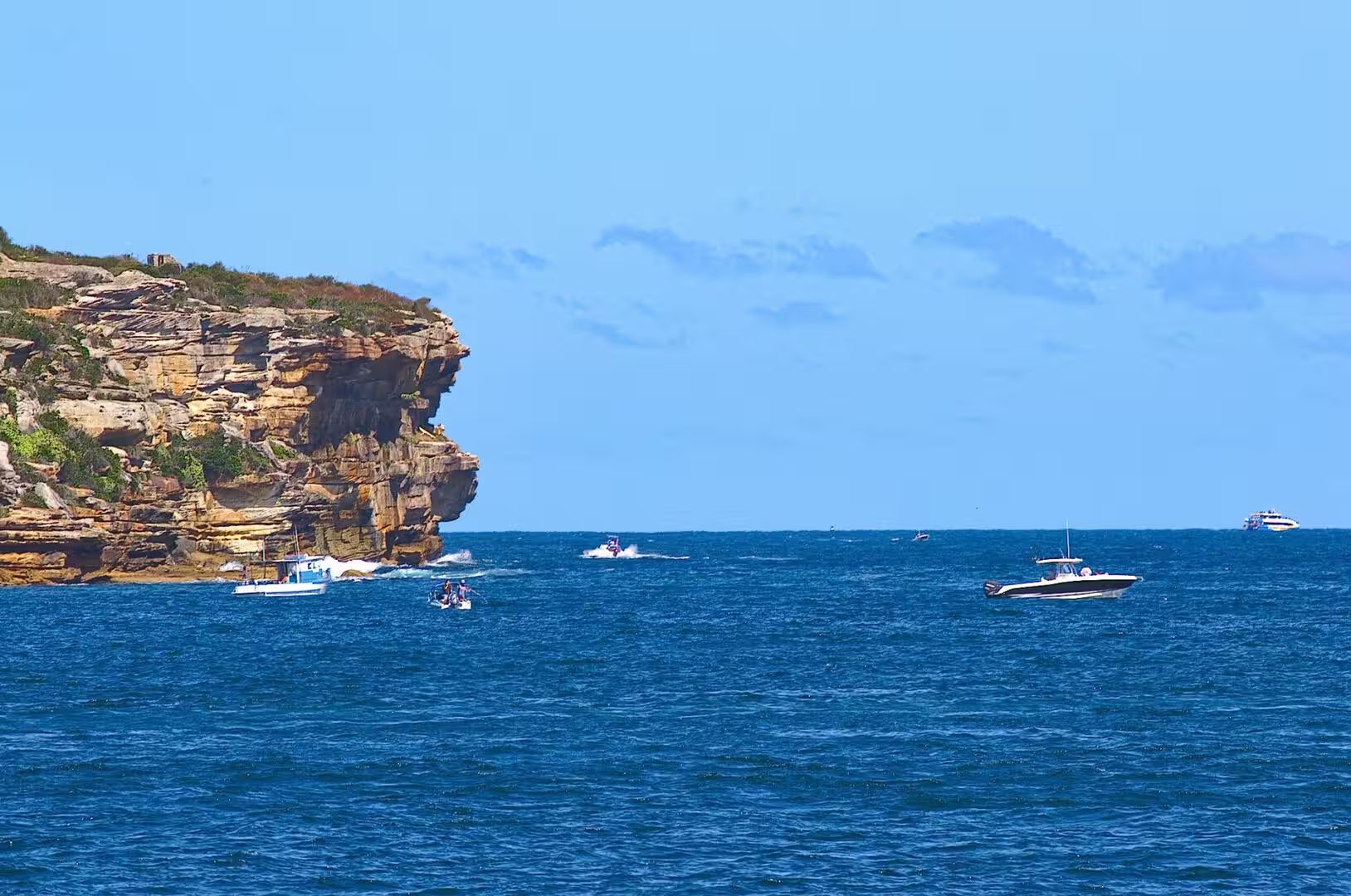
The rock on both sides of the water is the Hawkesbury sandstone, a Middle Triassic formation laid down in the Sydney Basin around two hundred and forty million years ago. It is a quartz rich sandstone, thick bedded and jointed, and it gives the harbour its characteristic shoreline: vertical cliffs at the heads, horizontal ledges at the water’s edge, and platforms of bare rock that appear at low tide. The stone is also the city’s building material, which is why the older parts of Sydney and the cliffs of the harbour look as though they were cut from the same block.
The islands of the harbour are the tops of drowned hills, and Fort Denison is the one that was cut down to size. The islet was originally a sandstone rock more than fifteen metres high, and convicts levelled it in the 1840s to make a platform for the fort. The harbour also holds tidal flats, seagrass beds and rocky reefs, and the water is clean enough in most places to see the bottom in five metres. The tide runs in and out twice a day, and the ferries, the swimmers and the fishermen all organise their lives around it.
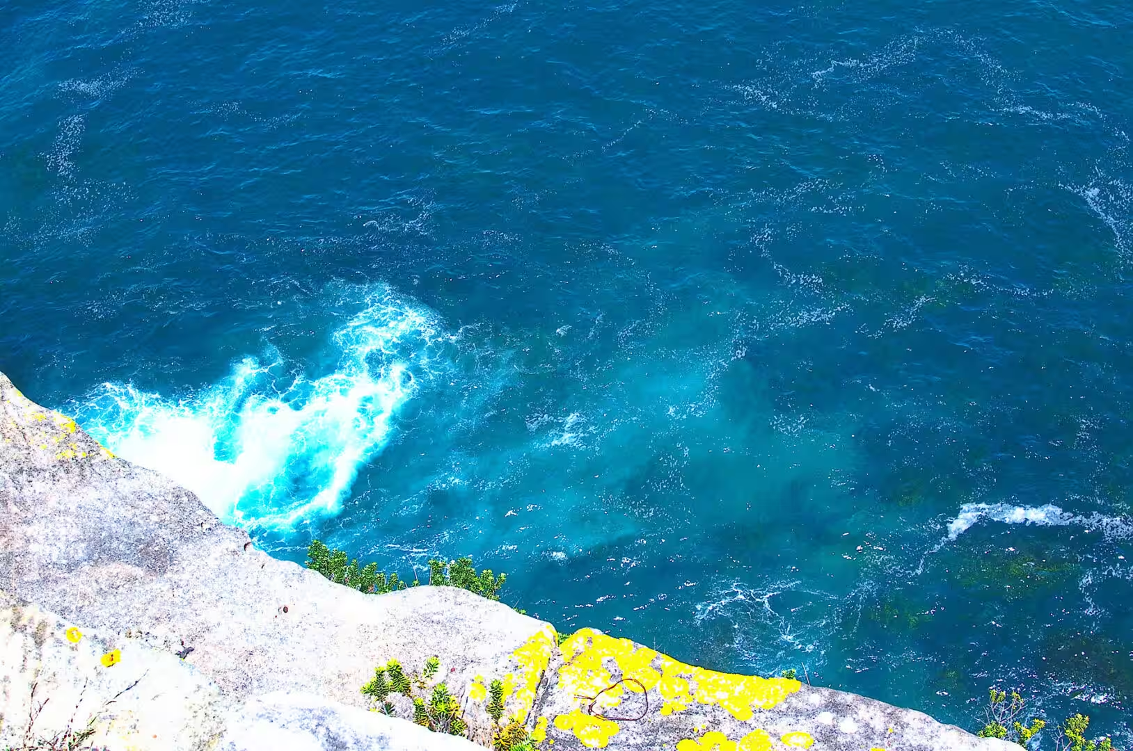
On the ocean side the same sandstone meets the swell of the Tasman Sea, and the beaches of the eastern suburbs are the result. Sand accumulates in the bays between sandstone headlands, the headlands themselves are cut into platforms and cliffs, and the coastal walk that links the beaches gives access to a geological cross section that runs for kilometres. It is one of the few capital cities in the world where a walk on the coast is also a walk through the rock record.
One more geological feature of the harbour is worth noticing from the water: the colour and the clarity of the water change with the tide, the rain and the depth. The outer harbour is blue and clear because it is flushed by the ocean twice a day, the upper reaches are greener and warmer because the tide takes longer to reach them, and after heavy rain the whole system carries the sediment of the catchment out through the heads. The ferries cross all of it, and the passengers get a lesson in estuarine circulation for the price of a ticket.
Things to See
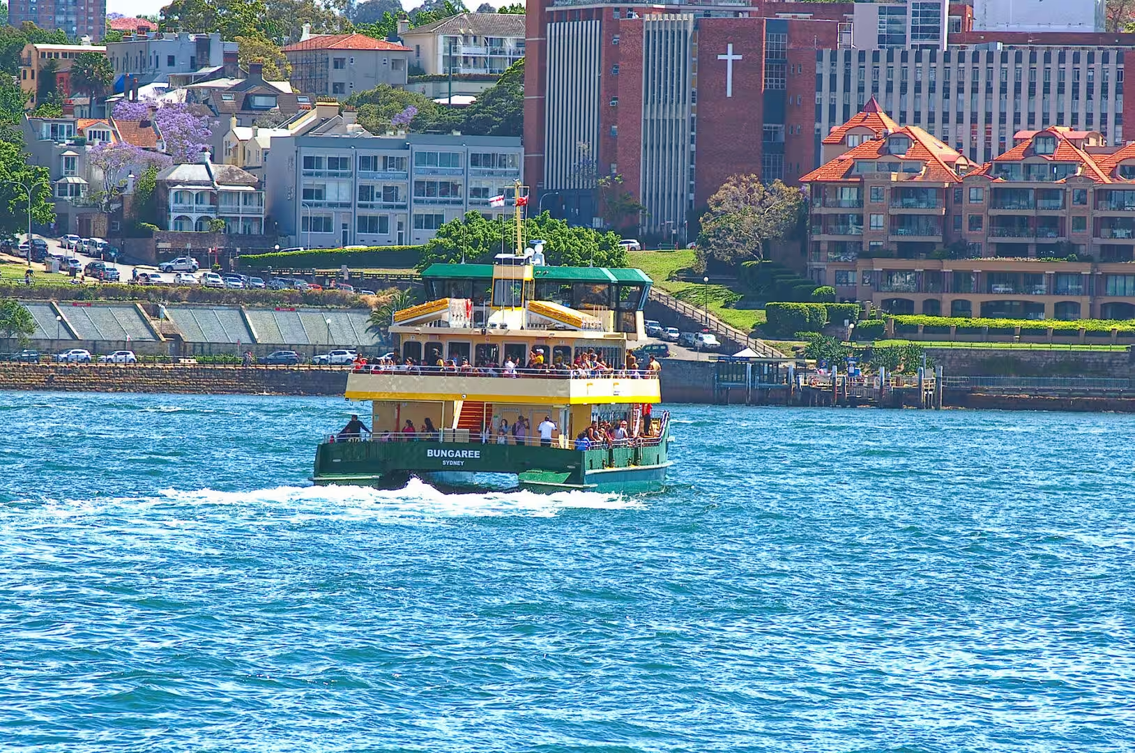
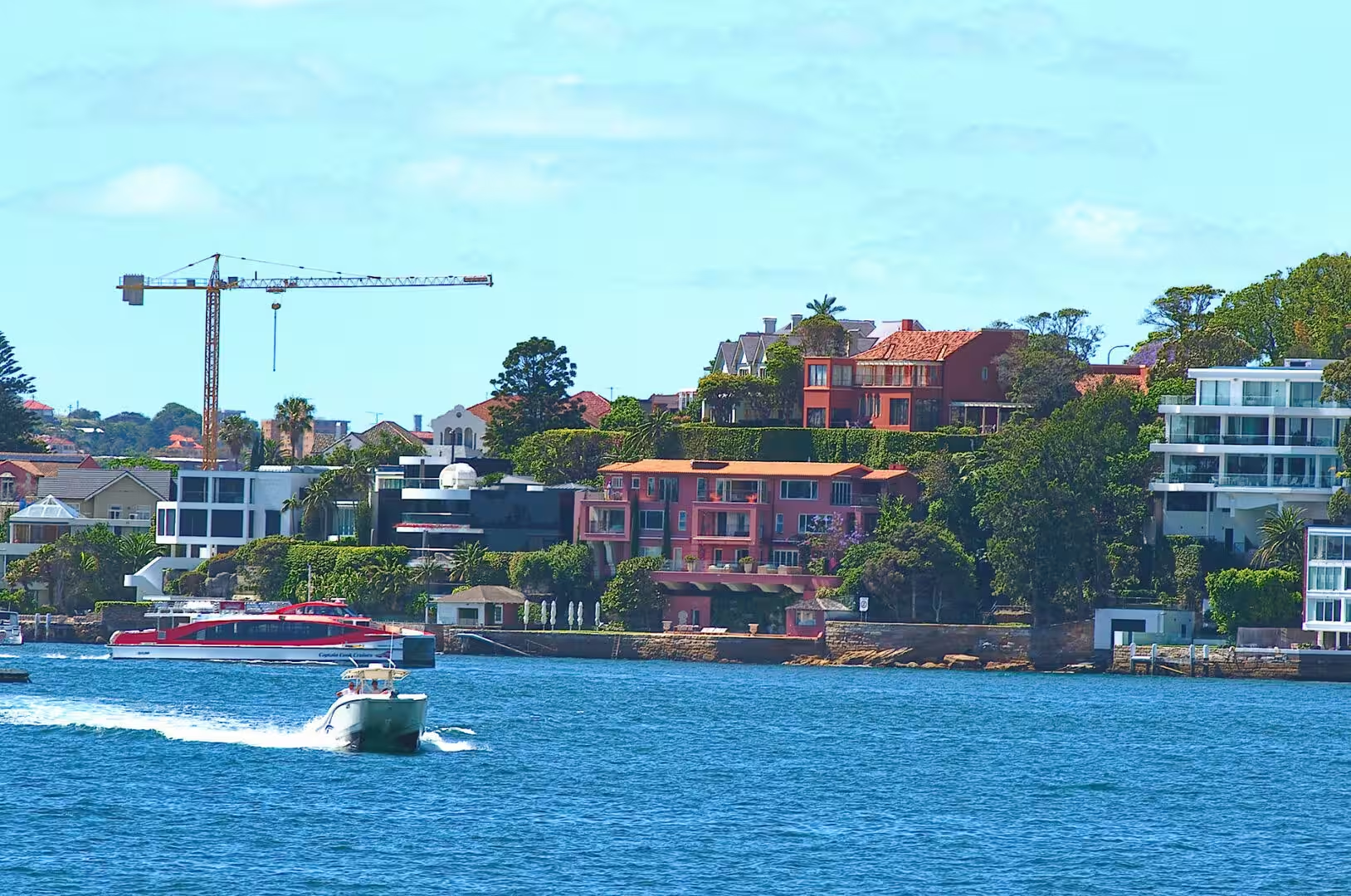
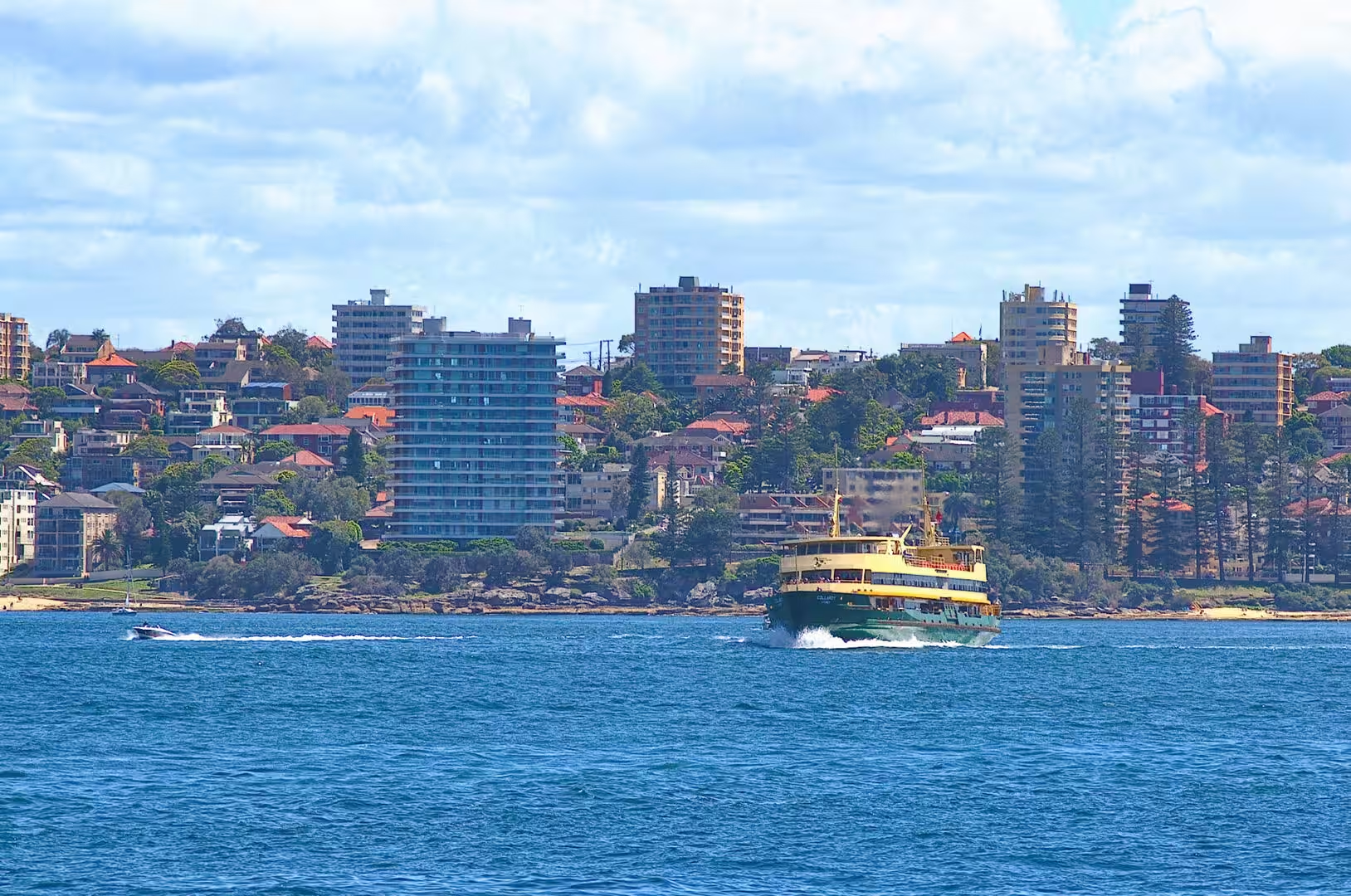
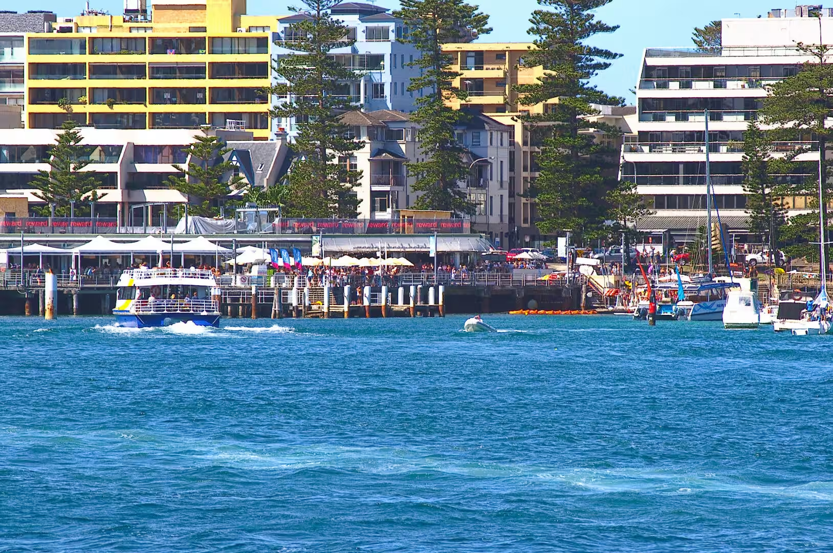
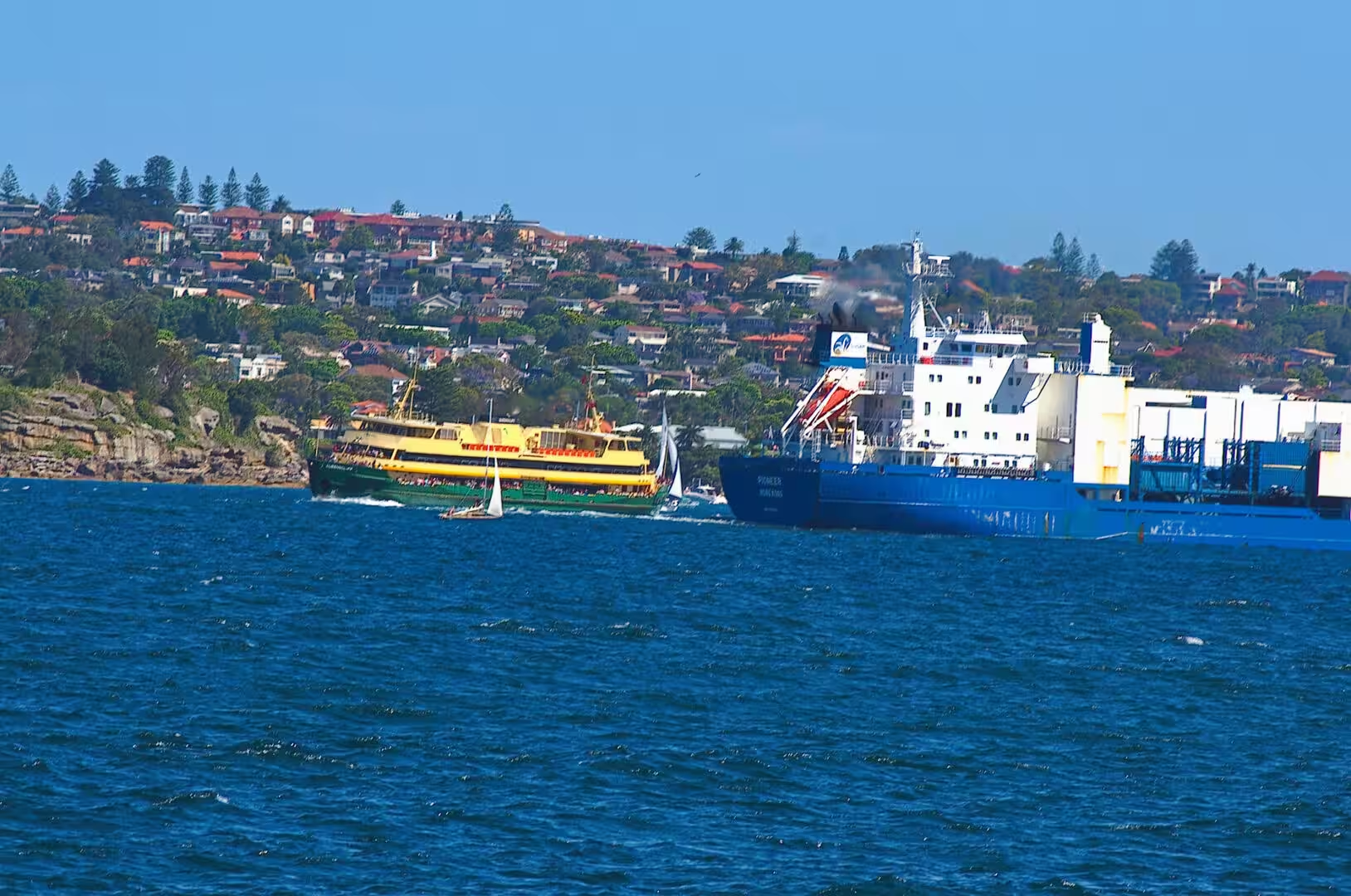
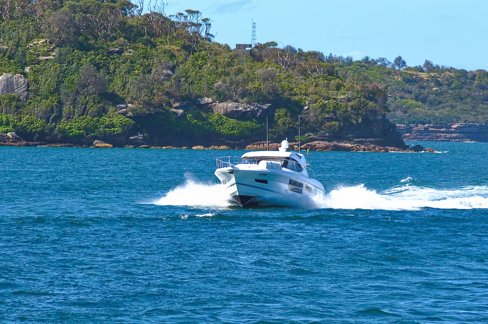
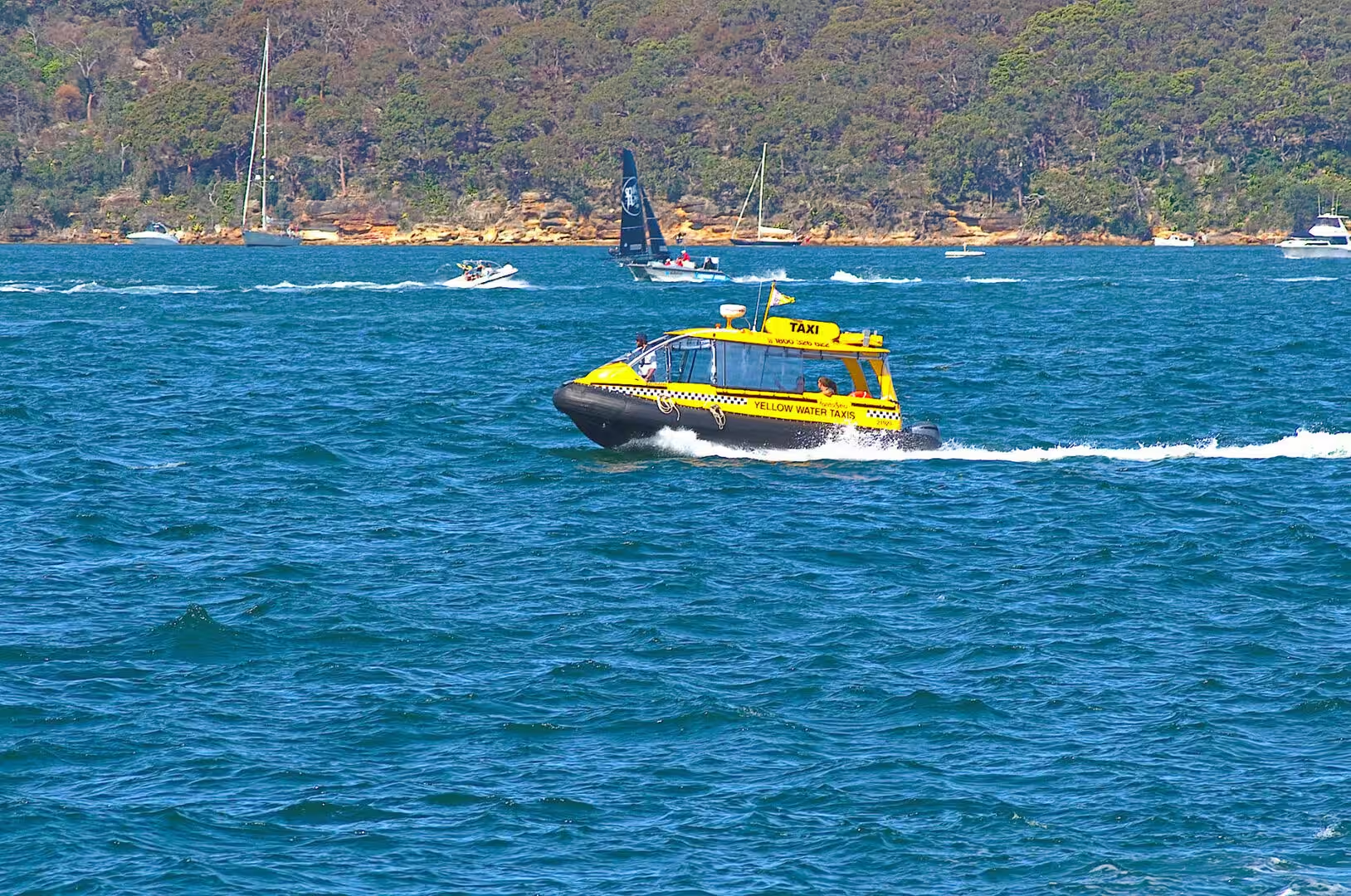
The ferries are the first thing to use and the best value in the city. The routes radiate from Circular Quay, the boats are comfortable, and the fares are the same as a train ticket. The ferry to Manly crosses the harbour and passes through the heads, the route to Parramatta runs up the river past the Olympic site, and the cross harbour services connect the zoo, the north shore suburbs and the city. The fleet itself is worth noticing: the boats have names from the history of the colony, including that of Bungaree, the Aboriginal leader who sailed with Matthew Flinders and was a well known figure in the early town.
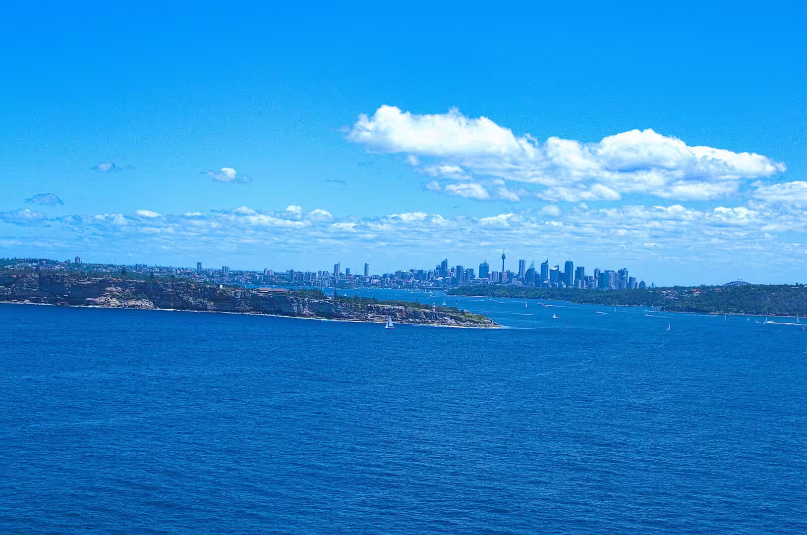
Fort Denison is reached by ferry or by tour from Circular Quay, and the visit is short and unusual. The island carries the fort, the Martello tower with its thick walls, the gun that was fired at one o’clock to mark the time, and a tide gauge that has been recording the harbour’s water levels for more than a century. From the top of the tower the whole harbour is laid out: the bridge and the Opera House to the west, the heads to the east, and the islands and the naval base in between.
Luna Park is a short walk from the ferry wharf at Milsons Point and a short ferry ride from Circular Quay. The entrance face, the wooden rides and the view back towards the city make the place worth an hour even for someone who does not intend to go on anything. Beside it, the walk across the Harbour Bridge, on the footpath that runs along the eastern side, takes about twenty minutes and is one of the best free experiences in the country.
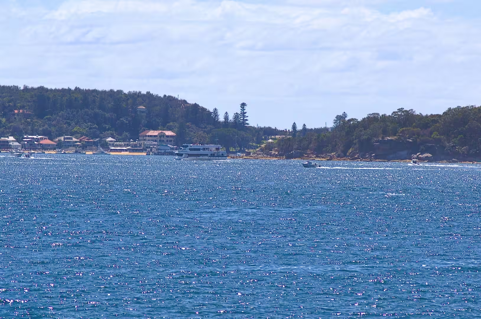
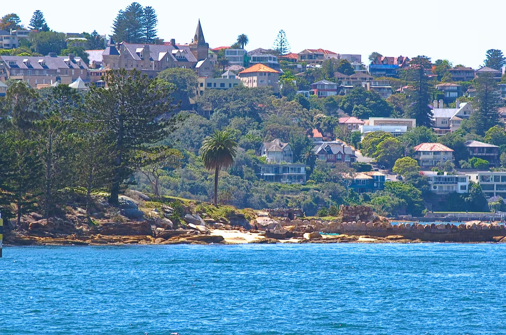
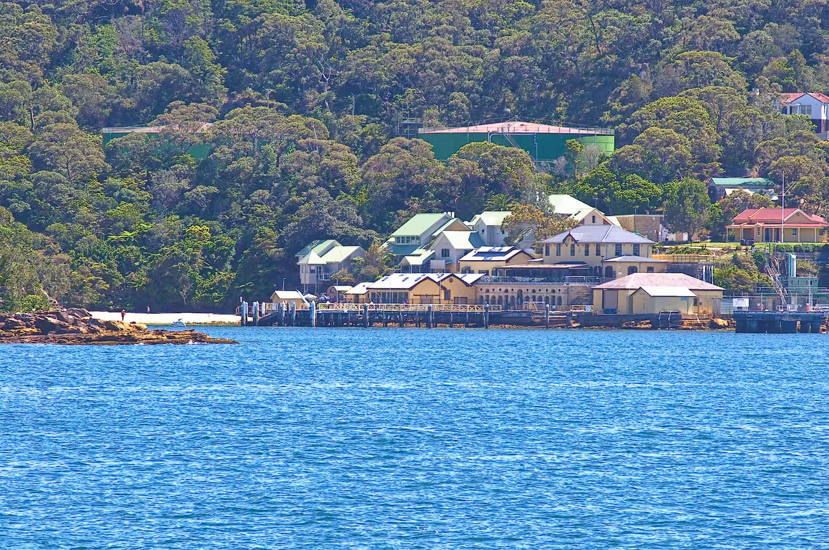
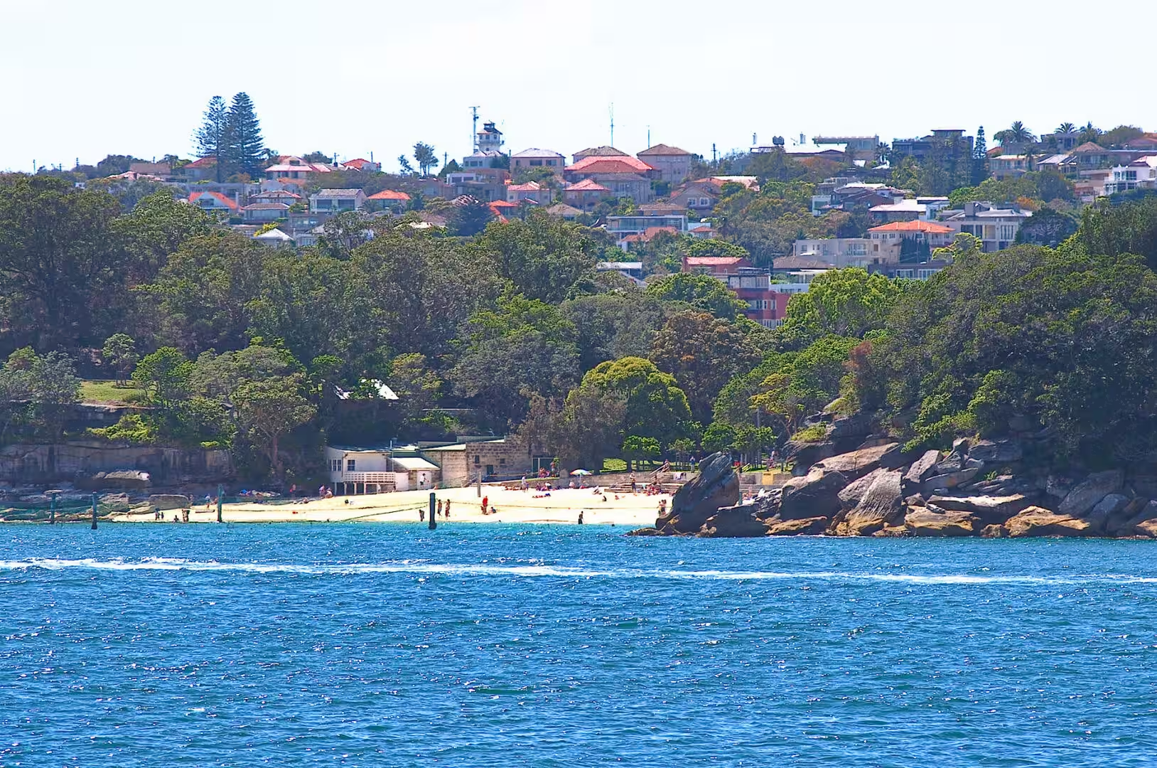
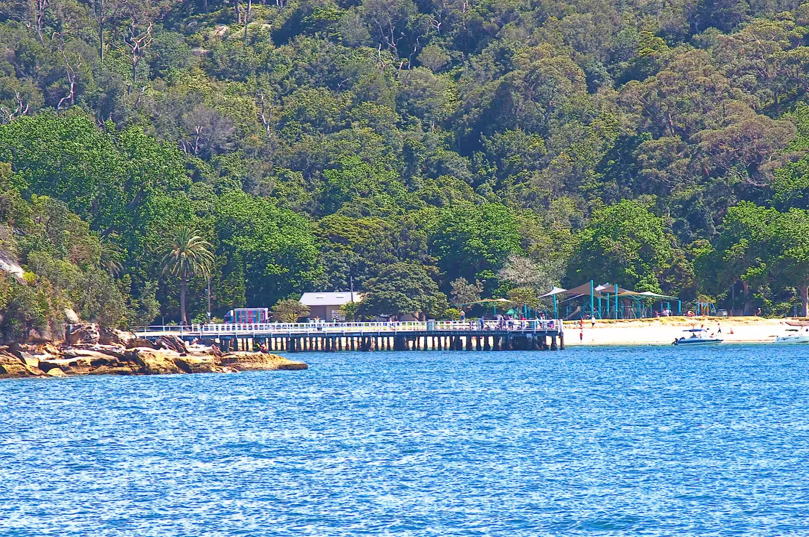
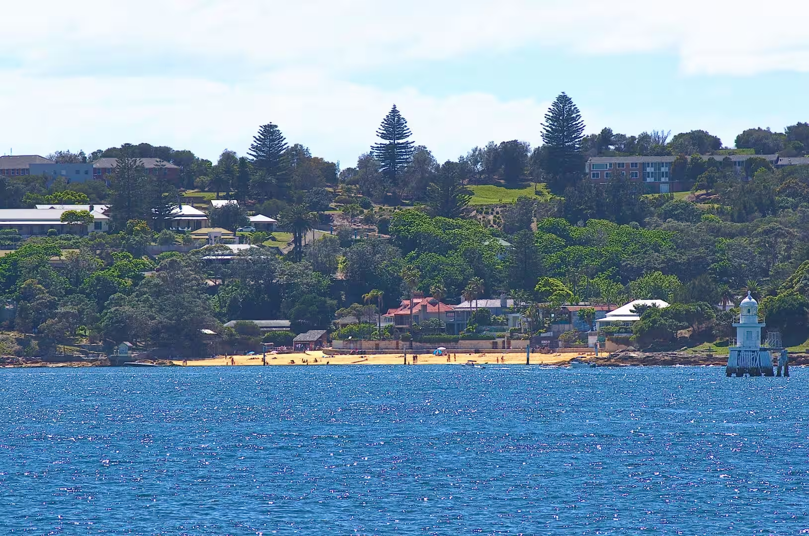
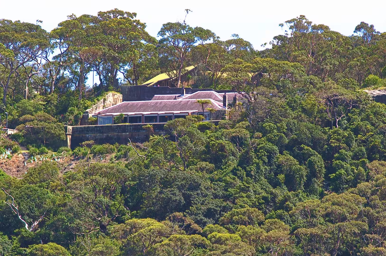
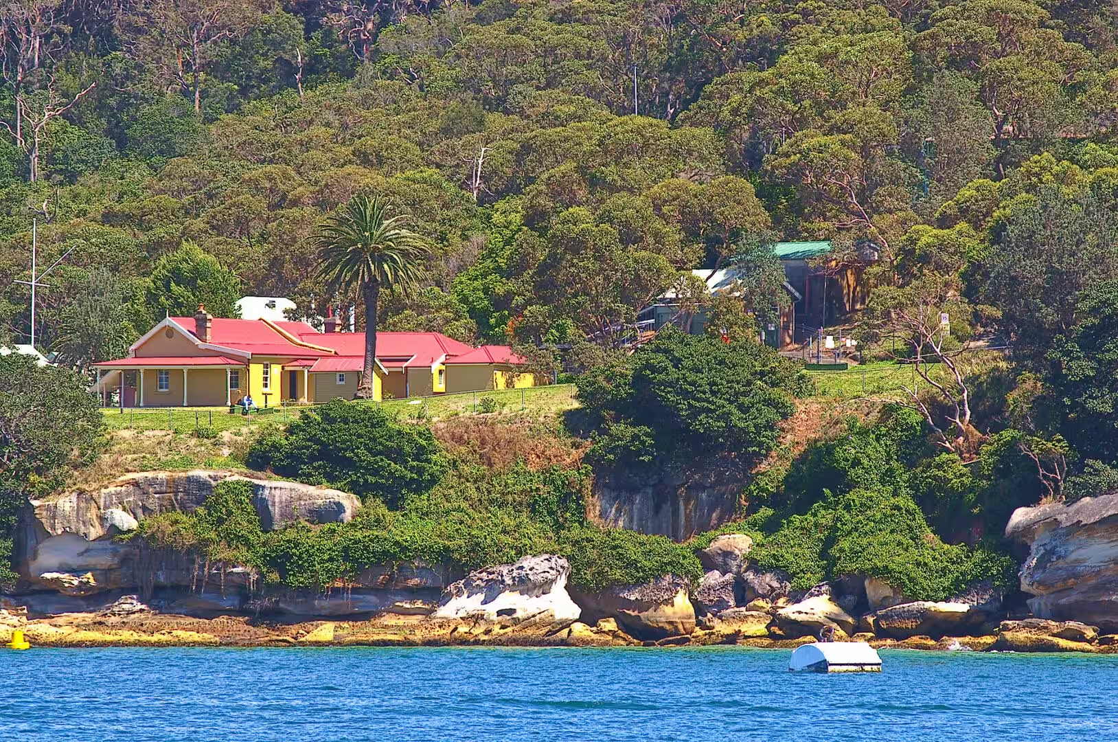
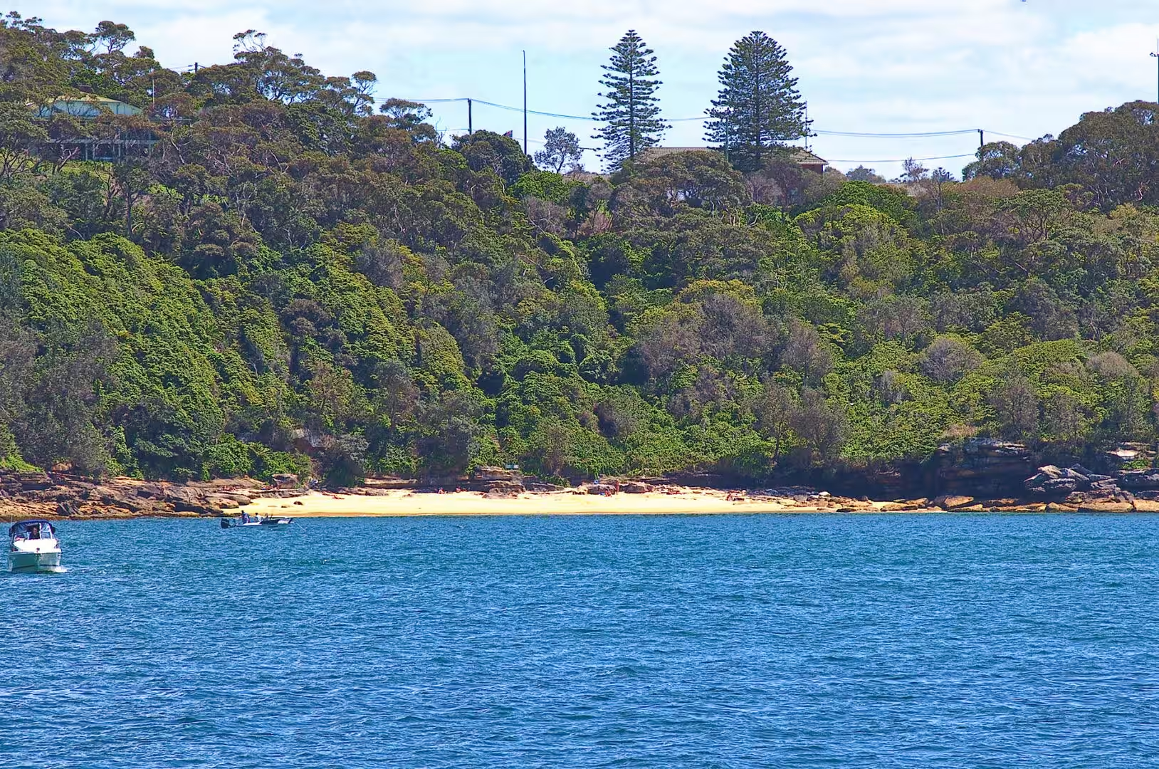
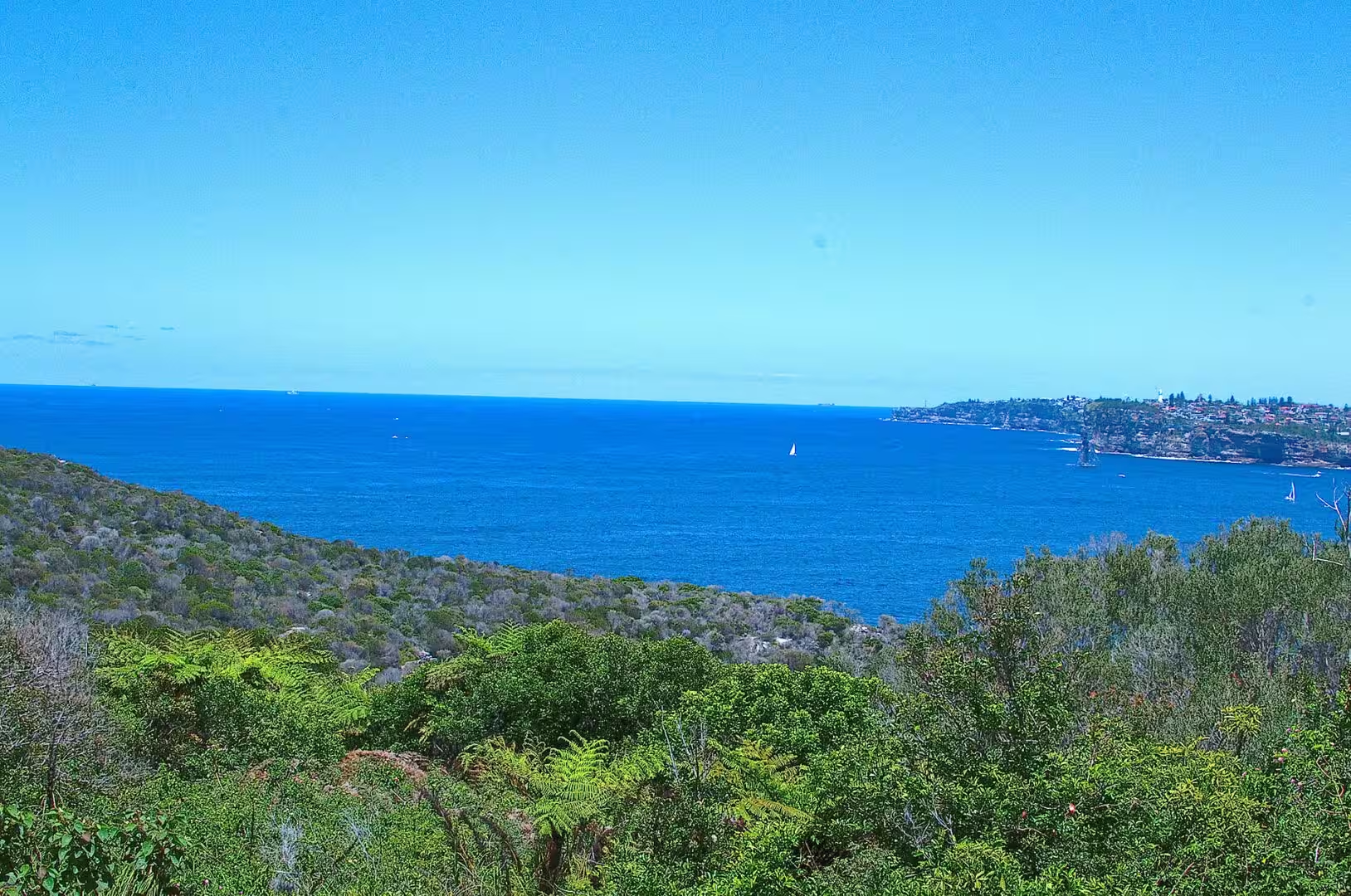
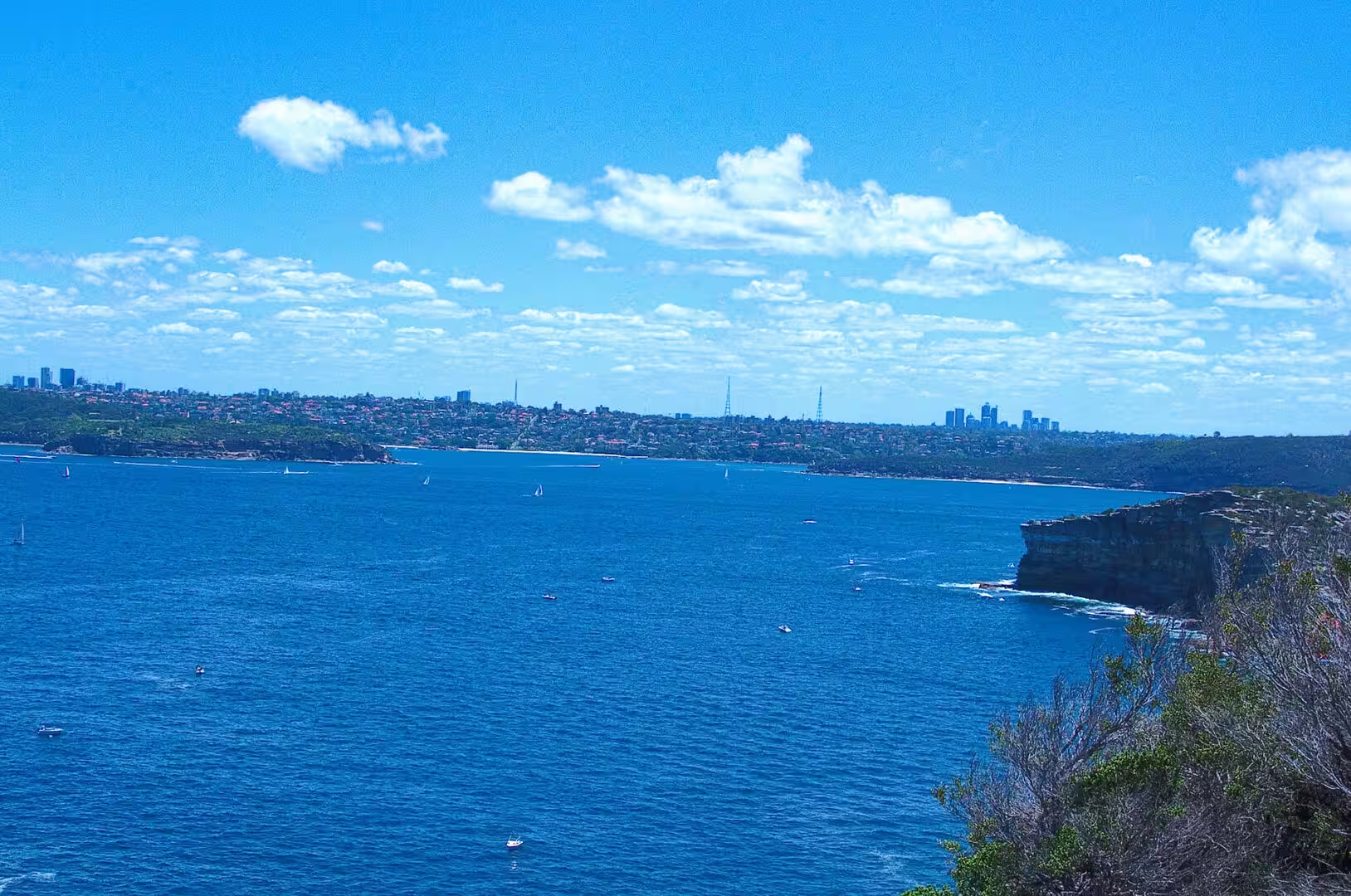
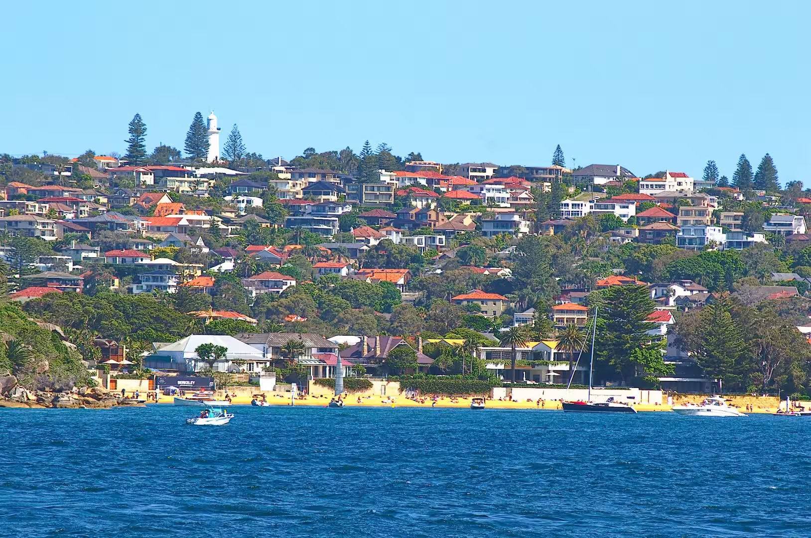
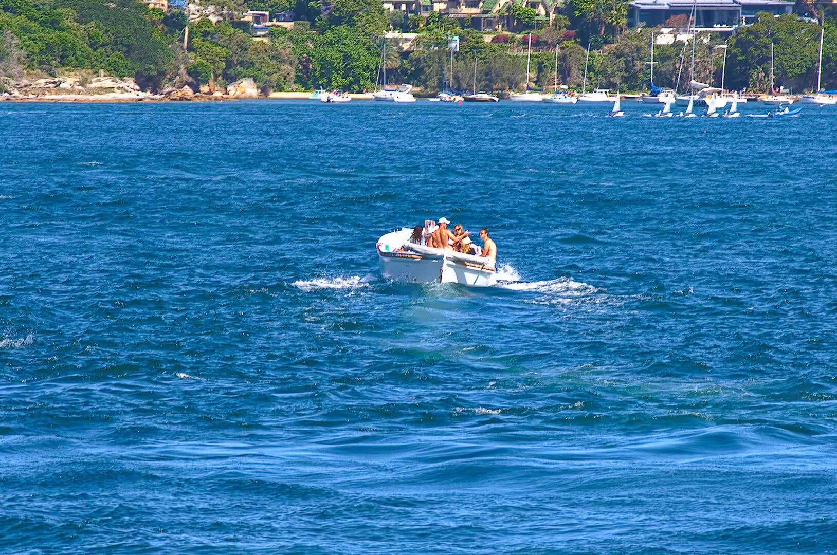
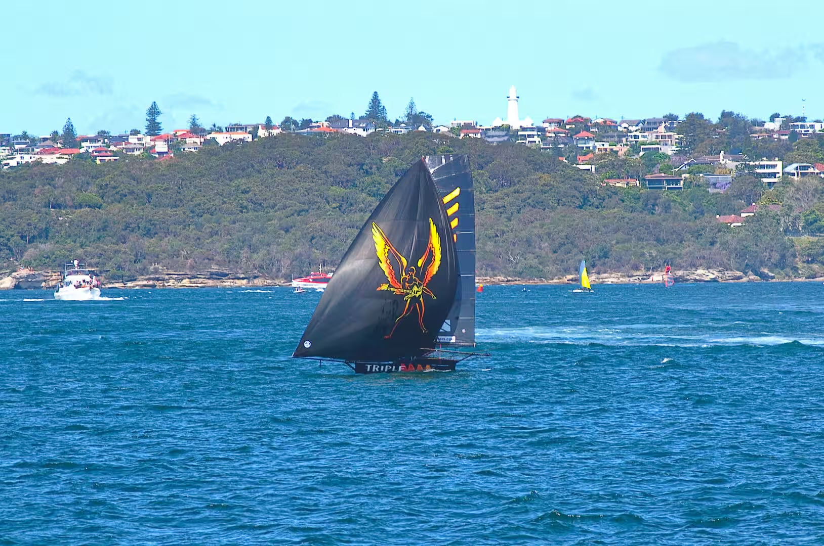
The other half of the harbour is the national park that covers its islands and headlands. The islands can be visited by ferry in the summer, the headlands have walks along the cliffs, and the beaches of the eastern suburbs and the north shore are all within reach of public transport. Watsons Bay, at the entrance to the harbour, is the classic destination: a ferry trip, a walk to the lighthouse at South Head, and a view of the open ocean with nothing between it and New Zealand.
The city itself is worth a day between the ferry trips. The Royal Botanic Garden runs along the water east of the Opera House, the Rocks holds the oldest buildings of the colony, and the shopping streets in December are decorated for a Christmas that arrives in the middle of summer. The light at the end of the day, when the towers turn gold and the ferries keep crossing, is the reason the harbour appears in so many views of the country: it is not a monument but a working waterway that happens to be beautiful.
References
- Wikipedia contributors (2026). Sydney. en.wikipedia.org/wiki/Sydney
- Wikipedia contributors (2026). Sydney Harbour. en.wikipedia.org/wiki/Sydney%20Harbour
- Wikipedia contributors (2026). Port Jackson. en.wikipedia.org/wiki/Port%20Jackson
- Wikipedia contributors (2026). Sydney Harbour Bridge. en.wikipedia.org/wiki/Sydney%20Harbour%20Bridge
- Wikipedia contributors (2026). Sydney Opera House. en.wikipedia.org/wiki/Sydney%20Opera%20House
- Wikipedia contributors (2026). Circular Quay. en.wikipedia.org/wiki/Circular%20Quay
- Wikipedia contributors (2026). Fort Denison. en.wikipedia.org/wiki/Fort%20Denison
- Wikipedia contributors (2026). Luna Park Sydney. en.wikipedia.org/wiki/Luna%20Park%20Sydney
- Wikipedia contributors (2026). Sydney Ferries. en.wikipedia.org/wiki/Sydney%20Ferries
- Wikipedia contributors (2026). Manly ferry. en.wikipedia.org/wiki/Manly%20ferry
- Wikipedia contributors (2026). Sydney Airport. en.wikipedia.org/wiki/Sydney%20Airport
- Wikipedia contributors (2026). Clark Island (New South Wales). en.wikipedia.org/wiki/Clark%20Island%20%28New%20South%20Wales%29
- Wikipedia contributors (2026). Shark Island (New South Wales). en.wikipedia.org/wiki/Shark%20Island%20%28New%20South%20Wales%29
- Wikipedia contributors (2026). Garden Island (New South Wales). en.wikipedia.org/wiki/Garden%20Island%20%28New%20South%20Wales%29
- Wikipedia contributors (2026). Watsons Bay. en.wikipedia.org/wiki/Watsons%20Bay
- Wikipedia contributors (2026). Bondi Beach. en.wikipedia.org/wiki/Bondi%20Beach
- Wikipedia contributors (2026). Sydney Basin. en.wikipedia.org/wiki/Sydney%20Basin
- Pells P. (2018) Engineering properties of the Hawkesbury Sandstone. Engineering Geology of the Sydney Region. 179-197. doi.org/10.1201/9780203757390-10
- Ward P. (2018) Excavation of Hawkesbury Sandstone in the Sydney Region. Engineering Geology of the Sydney Region. 199-202. doi.org/10.1201/9780203757390-11
- Verhoef P.N. (2017) Abrasiveness of Hawkesbury Sandstone (Sydney Harbour tunnel dredging) 68. Wear of Rock Cutting Tools. 175-189. doi.org/10.1201/9780203733981-16
- (ohne Angabe) (2018) Assessment of DDT, HCH and PAH Contamination and Associated Ecotoxicological Risks in Surface Sediments of Coastal Tema Harbour (Ghana). Sediments in the Tema Harbour (Ghana). 117-142. doi.org/10.1201/9780429451362-11