Day 16 - Karijini National Park
















Journal Notes
General
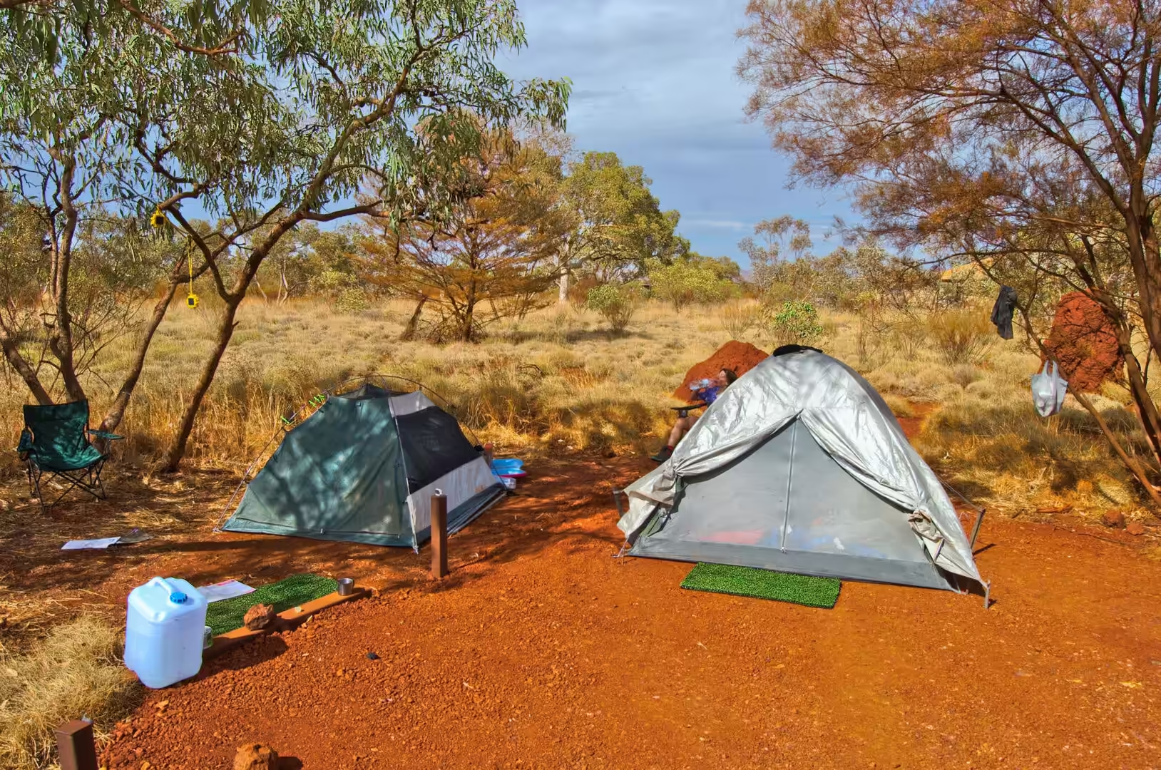
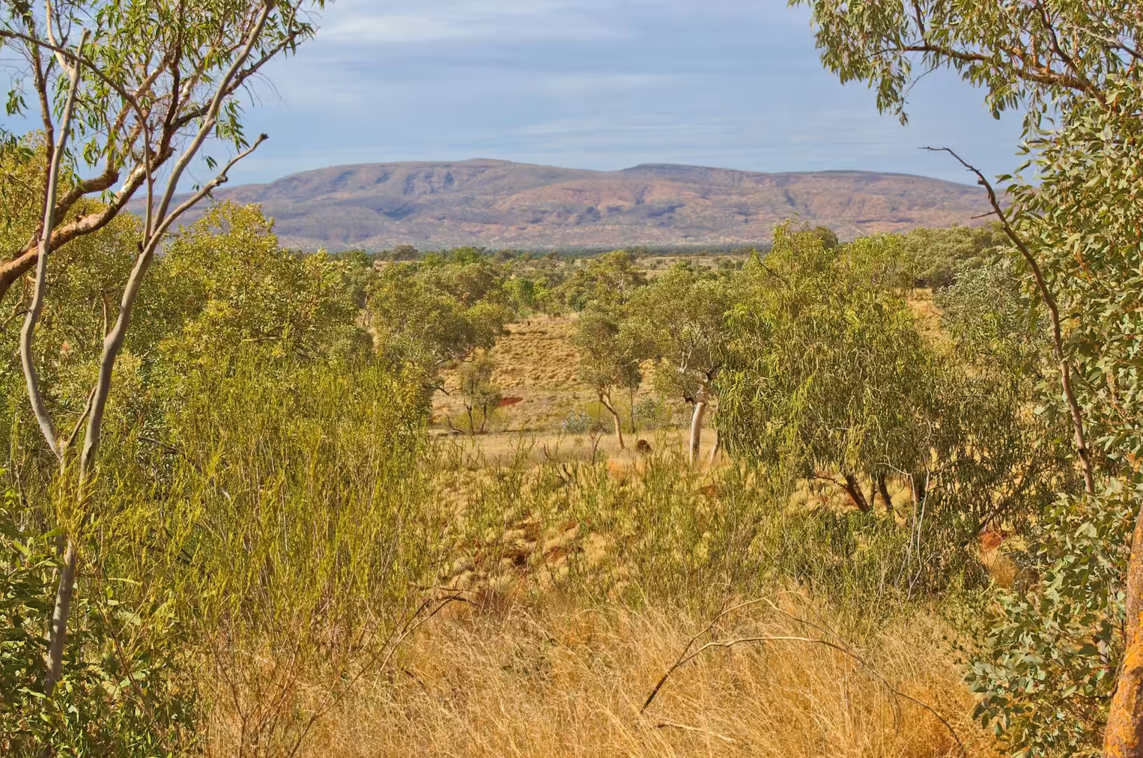
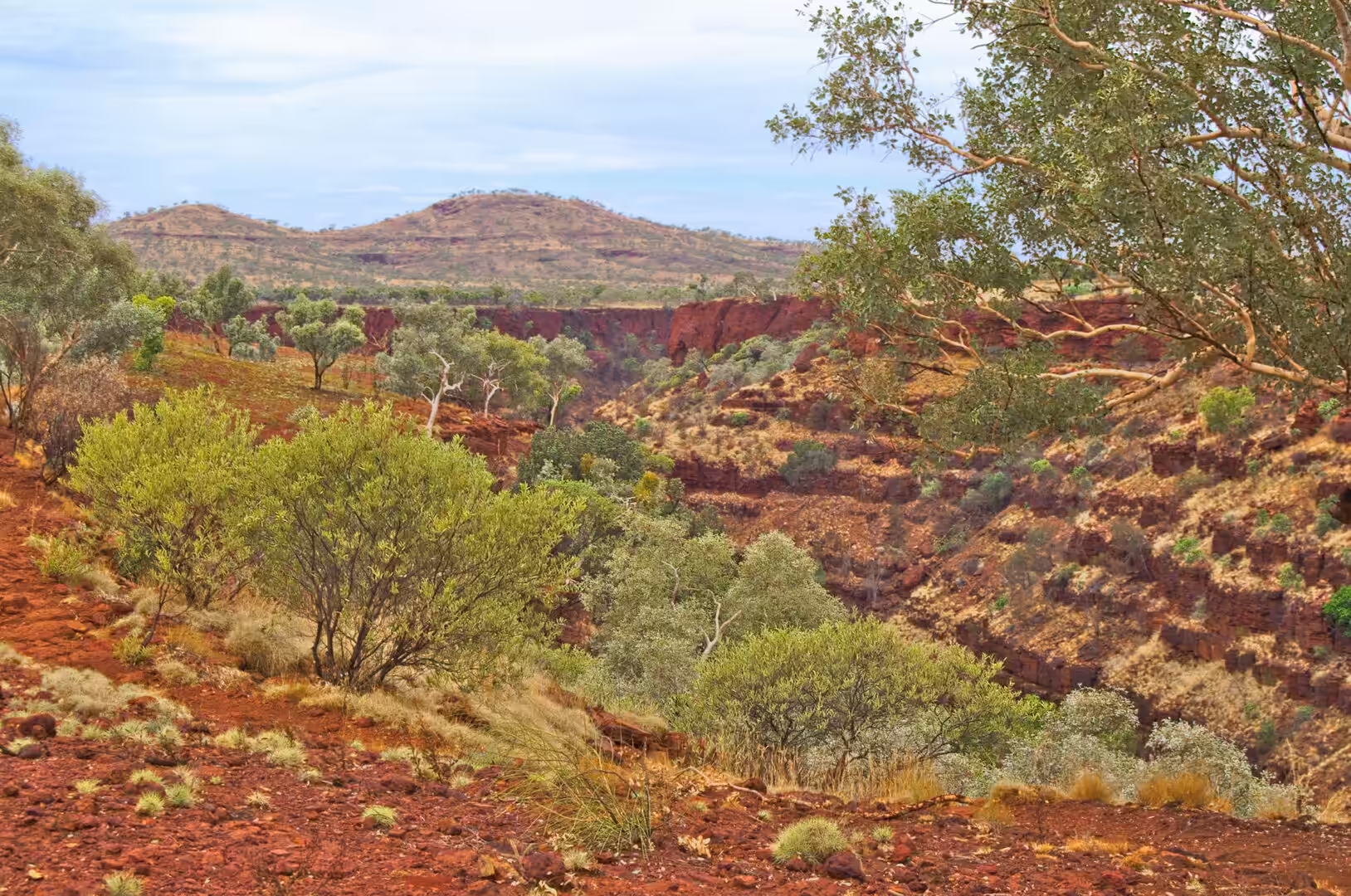
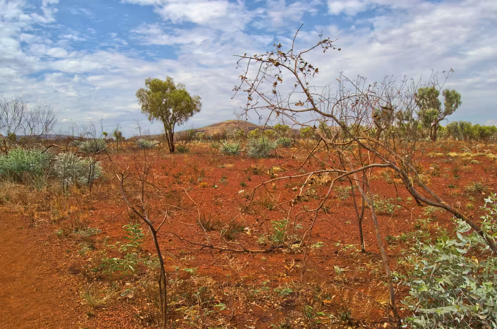
The sixteenth day was spent in the gorges of Karijini, and it is the day that most people who make this journey remember. The morning began in the campsite with the tent flaps open and the range standing along the horizon above the scrub, and it continued on a red dirt road that crosses a plain of spinifex, termite mounds and the flattened grey shapes of the flat topped hills.
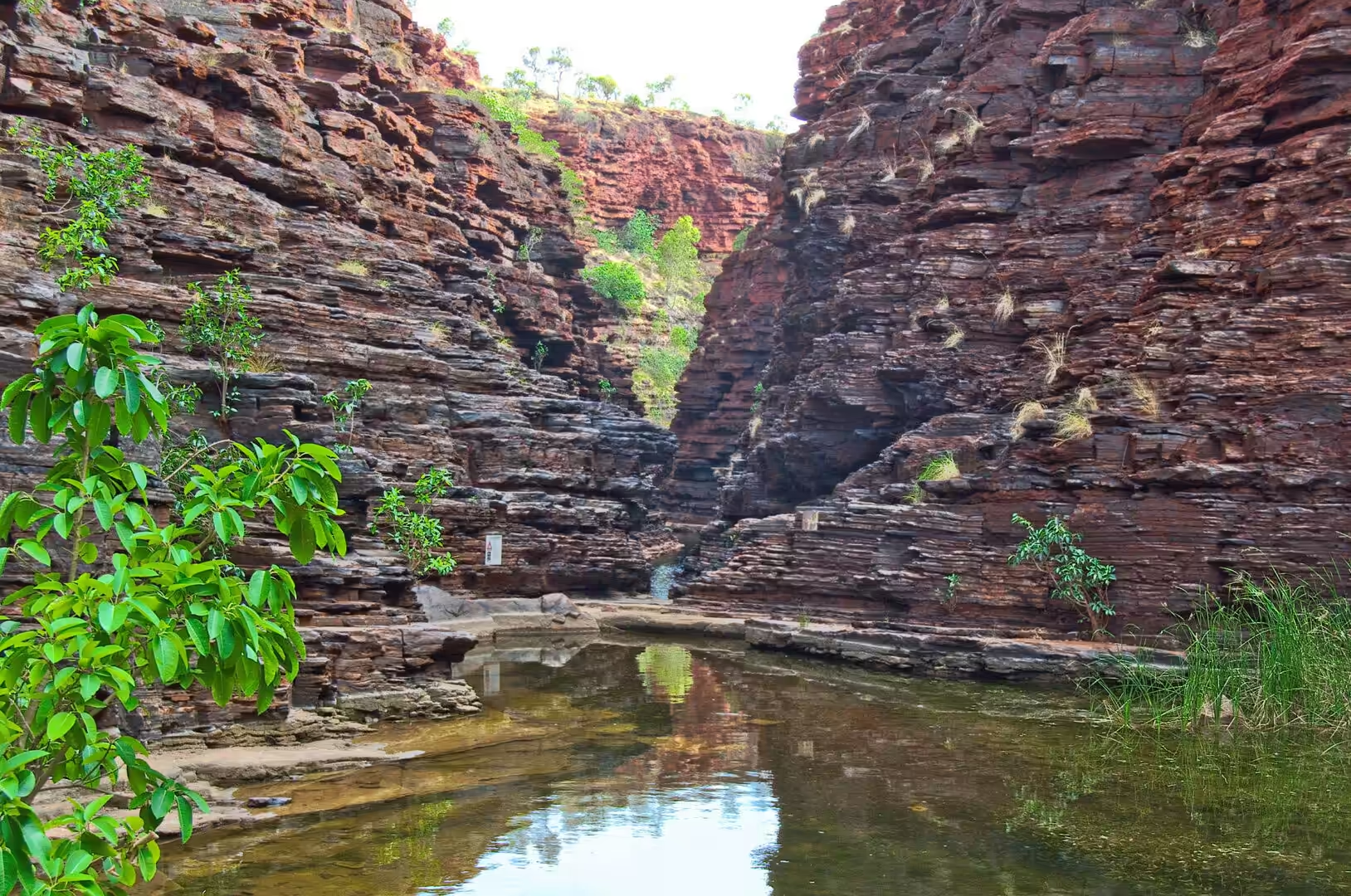
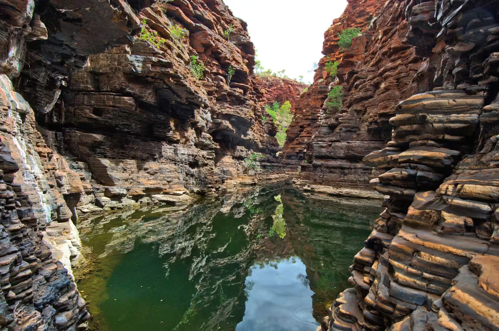
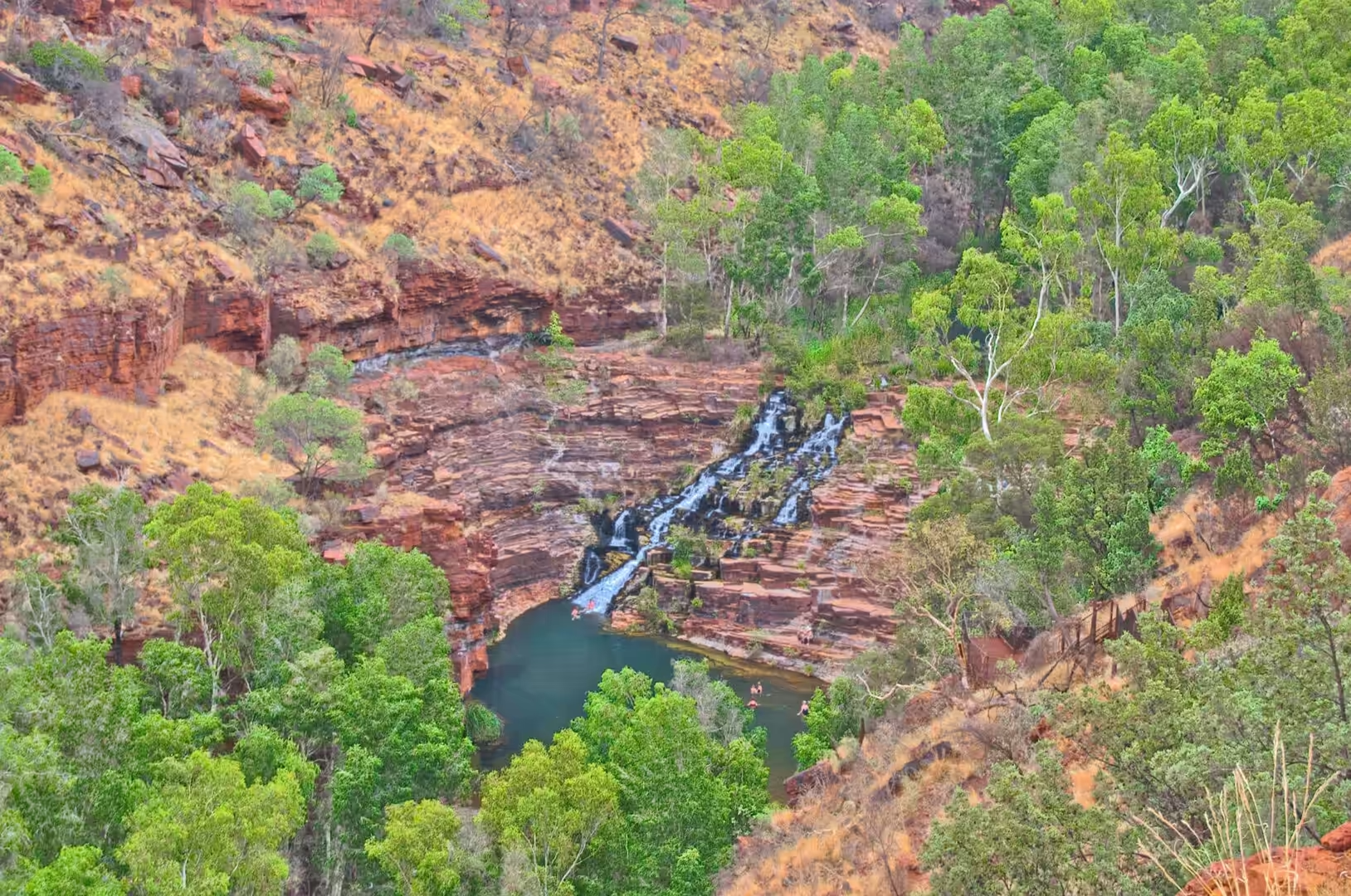
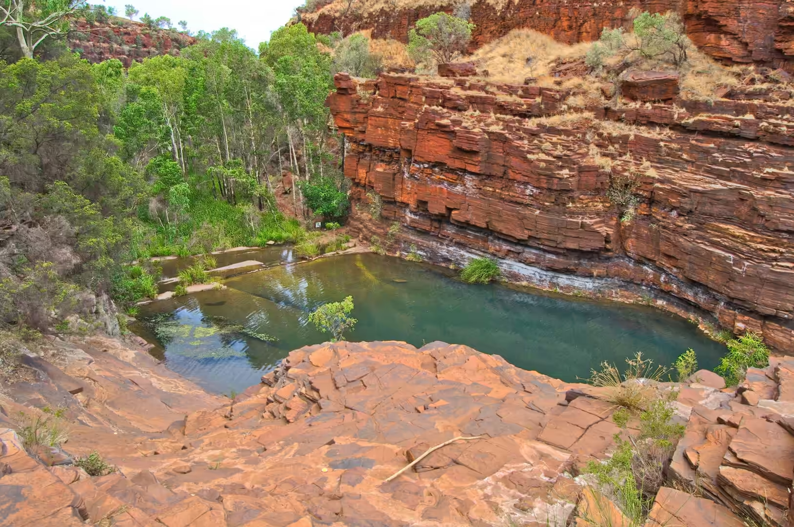
The first gorge is reached by a short walk from a car park and entered by a path that drops between stacked red rock walls to a sandy floor. The temperature falls as the walls rise on either side, the light changes from white to green, and the sound of the world above disappears. Five minutes into the walk there is a pool lying calm between banded cliffs, and ten minutes later a waterfall drops over terraced rock into a pool ringed with ferns, with the water dark green and cold.
The day was given over to that sequence of descent, walk, swim and climb, repeated in three gorges. Each has its own character: one with a pool that mirrors the cliffs, one with narrow walls and a sandy floor, one with a waterfall that fills a wide basin where people swim. The climbing between the pools is not difficult and it needs care, particularly on the wet rock beside the waterfalls, and the reward at the top of each section is a view that no road can give.
Coming out of a gorge at the end of the day is an experience in its own right. The heat hits first, then the light, then the wind, and the plain that seemed featureless in the morning has acquired a colour of its own by the afternoon. The climb out is slower than the descent, the water is finished by the time the car is reached, and the drive back to the camp is done with the windows open and the air conditioning on full.
History
The park has had two names. It was created as the Hamersley Range National Park and renamed Karijini in 1991, and the change was made to recognise the Aboriginal heritage of the country. The park is the second largest in Western Australia, covering more than six hundred thousand hectares, and it lies north of the Tropic of Capricorn at the eastern edge of the Hamersley Ranges. Its rock formations are around two and a half billion years old, which makes the gorges a window into the early history of the planet rather than simply a spectacular landscape.
The country belongs to the Aboriginal peoples of the Pilbara, and the gorges and the surrounding ranges hold sites that have been used for thousands of years. The park is jointly managed with the traditional owners through an agreement that gives them a role in the decisions about the land, and the names of the gorges and the waterholes are a mixture of the original ones and the names given by pastoralists and prospectors. Visitors are asked to treat the sites with the respect due to someone else’s country, which in practice means staying on the tracks, leaving the rock art alone and not swimming in the places marked as significant.
The modern history of the range is mining history. The iron ore deposits of the Hamersley Basin were developed from the 1960s, and the towns and railways that serve them were built within a generation: Tom Price, Paraburdoo, Dampier and the ports of the coast. The parks and the mines exist side by side, and the boundary between them is a line on a map that visitors cross without noticing. The state’s argument, which is not accepted by everyone, is that the two can coexist: the mines use a small proportion of the range, and the parks protect the gorges and the plateau around them.
The park also has a history that visitors should know about before they travel through the region. The blue asbestos mine at Wittenoom, on the northern side of the range, operated from the 1940s until 1966 and left a legacy of disease among the workers and their families that is still being counted. The town has been closed and the state advises against travelling through the area. The gorges of Karijini are not affected and are safe to visit, but the presence of that history within the same range is a reminder that the wealth of the Pilbara has been extracted at a price, and that the price was paid by people rather than by the landscape.
The park’s tourism is recent and it has changed the place it protects. Sealed access roads, a visitor centre, graded walks and designated campsites arrived in the 1990s and 2000s, and the number of visitors has risen with them; the gorges that were known to a handful of locals and miners are now on every itinerary that crosses the north of the state. The parks service manages the pressure with the usual tools, permits, closures and ranger patrols, and the balance between access and protection is argued over in every season.
The passing traffic that the region depends on has also shaped the countryside in less obvious ways. The roadhouses, the caravan parks and the stations that rent a paddock for the night are all part of the same economy, and the towns that service the mines depend on the highway as much as the mines do. A visitor driving through in a single day sees a handful of cars, a roadhouse and a landscape; what is actually there is a supply line for an industry that ships hundreds of millions of tonnes of ore from the coast each year, and the road is the part of it that everyone can see.
Geology
The walls of the gorges are made of banded iron formation, and standing between them is the best way to understand what that means. The rock is layered in bands a few centimetres thick, alternating between dark grey or black bands of iron oxide and paler red or cream bands of chert, and the layers are so regular that the walls look as if they have been built. Each pair of bands records a period of deposition on the floor of an ancient sea, and the total thickness of the sequence runs to hundreds of metres.
The iron in those layers accumulated in a world that had almost no oxygen in its atmosphere. Iron dissolves and stays in solution in water without oxygen, and it precipitates out when oxygen is present, so the deposition of iron rich sediment on a large scale is a feature of the early Earth, before the atmosphere and the oceans filled with the gas that plants later produced. The banding is thought to record cycles in the chemistry of the ocean, in the supply of iron from deep water and in the activity of the first photosynthetic organisms, and the debate about which of those controls dominates is one of the long running arguments of Precambrian geology.
The gorges themselves are the work of water on a rock that resists it. The iron formations are hard, but they are cut by joints and interbedded with softer shales, and water entering those lines of weakness has been working on them for millions of years. The result is a landscape of narrow slots, stepped pools and waterfalls, in which the hard bands form the ledges and terraces and the softer material has been washed out between them. The waterfalls at the heads of the gorges are the visible end of the process: the water falls over a resistant band into a pool it has excavated below.
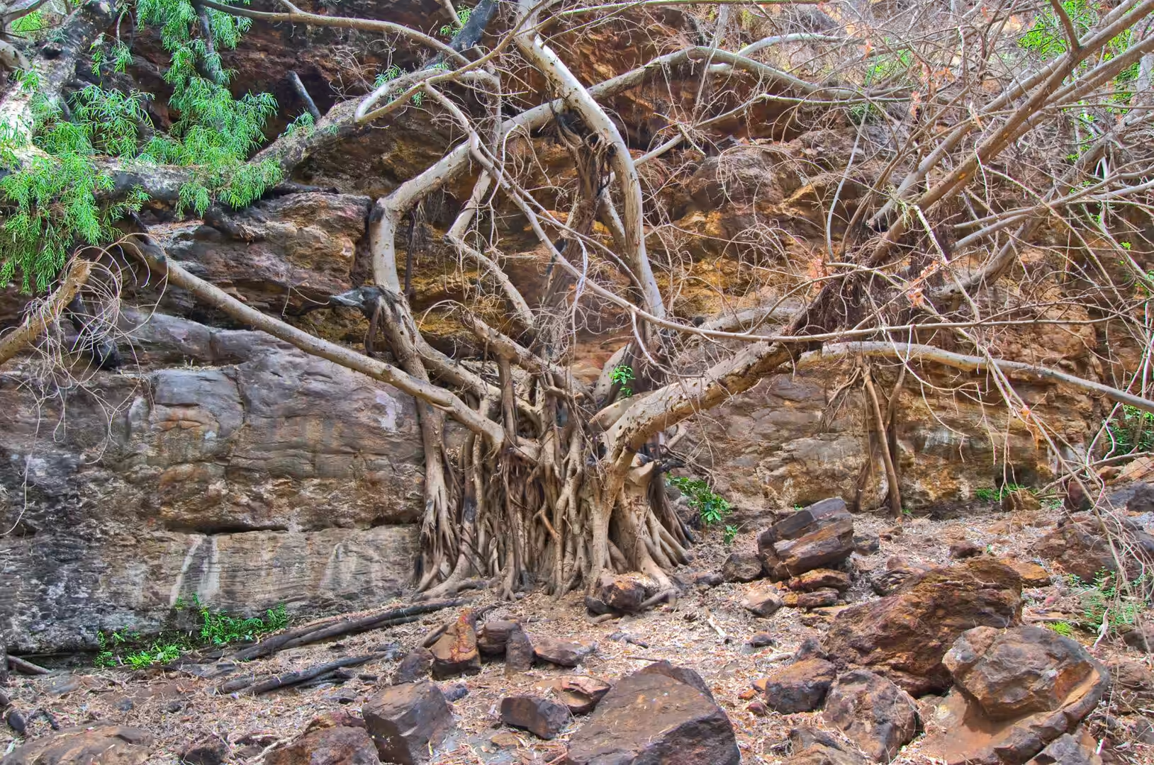
The pools and the waterholes are the reason the gorges are habitable. They hold water through the dry season, they are fed by springs from the plateau as well as by rain, and they support a community of plants and animals that has no equivalent on the surface: ferns, mosses and figs in the shade of the walls, fish and crustaceans in the water, and rock wallabies on the cliffs above. The same water makes the gorges dangerous in the wet season, when a storm on the plateau can send a flood through a narrow canyon within an hour, and the advice to check the forecast and to leave a gorge when the water rises is the most important safety rule in the park.
Things to See
The classic circuit of the park takes in three or four gorges and can be done in a day by anyone of reasonable fitness. Dales Gorge has the easiest access and the most facilities, with a walk along the rim and a path down to the water, Fortescue Falls dropping over terraced rock into a swimming pool, and the Circular Pool at the other end of the gorge. Weano and Hancock are narrower and more dramatic, with walks that involve climbing down through slots and wading through water, and Kalamina is the quietest of the accessible gorges, with a creek, a waterfall and few visitors.
The walks are short and the descents are steep. Most of them involve scrambling over rock and some involve wading, so shoes with grip are worth more than boots, and a dry bag for a phone or a camera is a sensible precaution. The parks service grades the walks, and the grades matter: a class six walk in this park means climbing with hands and feet on wet rock, and doing it in the middle of the day in December is a different undertaking from doing it in the cool of the morning.
The swimming is the reward for the climb. The water in the pools is cold, deep and clear, the walls above are banded in red and black, and the only sounds are the waterfall and the people in the water. Swimming in a gorge that has been carved through two and a half billion years of rock is an experience that no description conveys, and the pools at the end of the longest walks are the ones that stay in the memory.
The practical arrangements of a visit are simple and worth stating. The park is remote, the nearest town with fuel and a supermarket is Tom Price, and the camping areas have toilets and no water. The best months are between May and September, when the days are warm and the nights cold; in December the gorges are an oven by midday and the swimming is the only comfortable activity. Water must be carried, the forecast must be checked, and everything brought in must be carried out. The visitors who plan for those three things and leave early in the morning get the gorges to themselves for an hour, which is the best hour of the day.
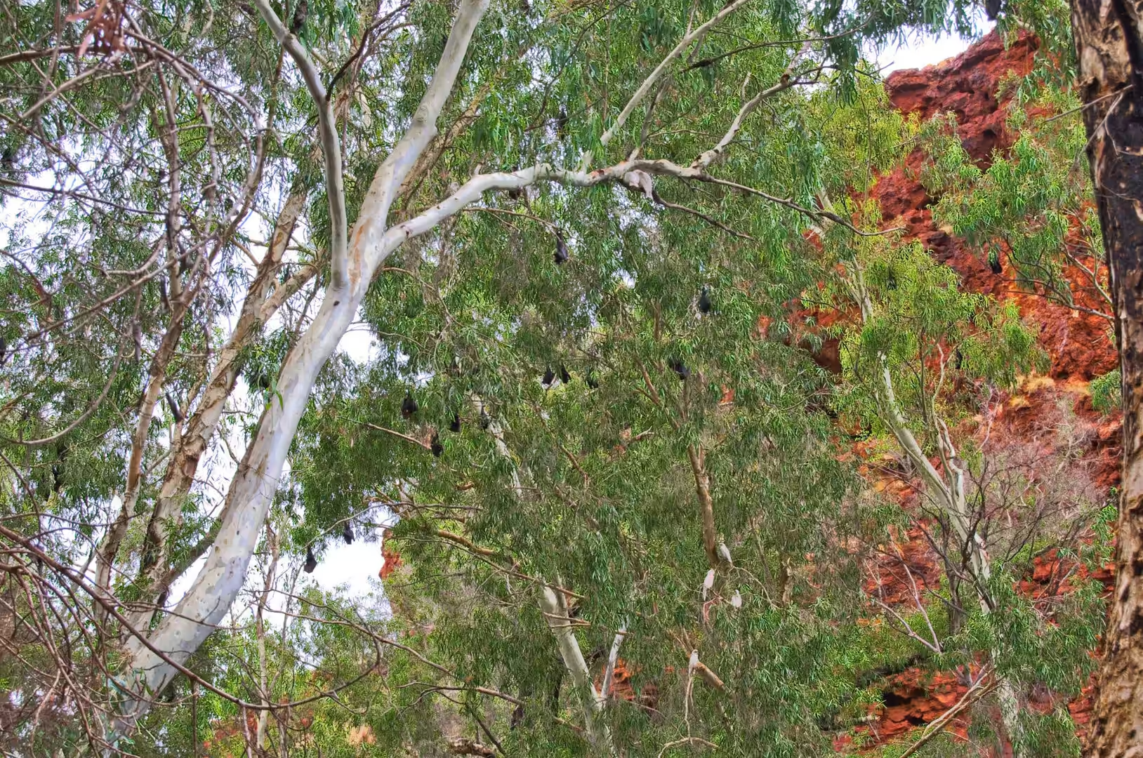
The wildlife of the park is quiet and worth looking for. Rock wallabies live on the cliffs of the gorges and come out in the late afternoon, euros and kangaroos graze on the plain in the early morning, and the birdlife includes some of the most colourful species in the country: budgerigars, zebra finches, spinifex pigeons and several kinds of honeyeater. The termite mounds on the plain are the work of another community entirely, and the tracks and bones around them are the closest thing the park has to a guide to what has been passing in the night.
References
- Wikipedia contributors (2026). Karijini National Park. en.wikipedia.org/wiki/Karijini%20National%20Park
- Wikipedia contributors (2026). Hamersley Basin. en.wikipedia.org/wiki/Hamersley%20Basin
- Wikipedia contributors (2026). Hamersley Range. en.wikipedia.org/wiki/Hamersley%20Range
- Wikipedia contributors (2026). Banded iron formation. en.wikipedia.org/wiki/Banded%20iron%20formation
- Wikipedia contributors (2026). Iron ore. en.wikipedia.org/wiki/Iron%20ore
- Wikipedia contributors (2026). Pilbara. en.wikipedia.org/wiki/Pilbara
- Wikipedia contributors (2026). Pilbara Craton. en.wikipedia.org/wiki/Pilbara%20Craton
- Wikipedia contributors (2026). Wittenoom, Western Australia. en.wikipedia.org/wiki/Wittenoom%2C%20Western%20Australia
- Wikipedia contributors (2026). Fortescue River. en.wikipedia.org/wiki/Fortescue%20River
- Wikipedia contributors (2026). Tom Price, Western Australia. en.wikipedia.org/wiki/Tom%20Price%2C%20Western%20Australia
- Wikipedia contributors (2026). Chichester Range. en.wikipedia.org/wiki/Chichester%20Range
- Wikipedia contributors (2026). BHP. en.wikipedia.org/wiki/BHP
- Thorne W., Hagemann S., Webb A., Clout J. (2008) Banded Iron Formation-Related Iron Ore Deposits of the Hamersley Province, Western Australia. Banded Iron Formation-Related High-Grade Iron Ore. 197-221. doi.org/10.5382/rev.15.08
- Sheppard S., Krapež B., Zi J.W., Rasmussen B., et al. (2017) Young ores in old rocks: Proterozoic iron mineralisation in Mesoarchean banded iron formation, northern Pilbara Craton, Australia. Ore Geology Reviews. 89. 40-69. doi.org/10.1016/j.oregeorev.2017.06.003
- Shibuya T., Aoki K., Komiya T., Maruyama S. (2010) Stratigraphy-related, low-pressure metamorphism in the Hardey Syncline, Hamersley Province, Western Australia. Gondwana Research. 18. 213-221. doi.org/10.1016/j.gr.2010.01.002