Day 15 - Karijini National Park















Journal Notes
General
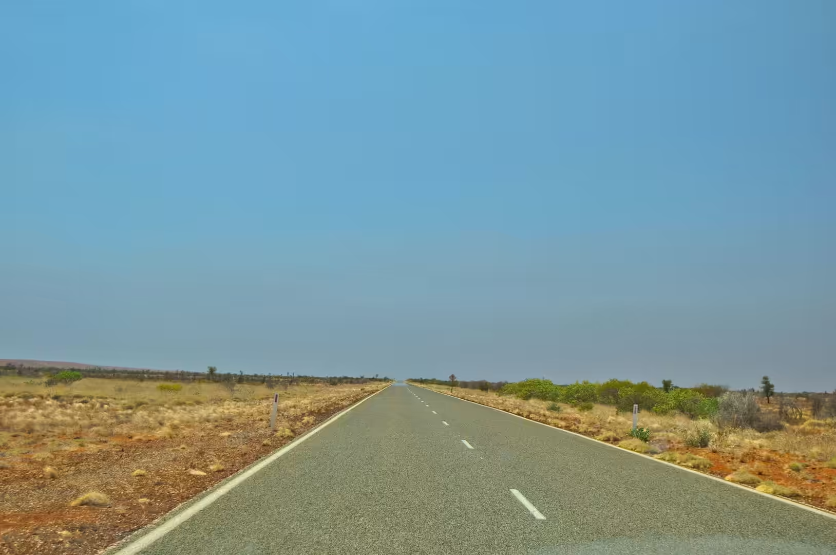
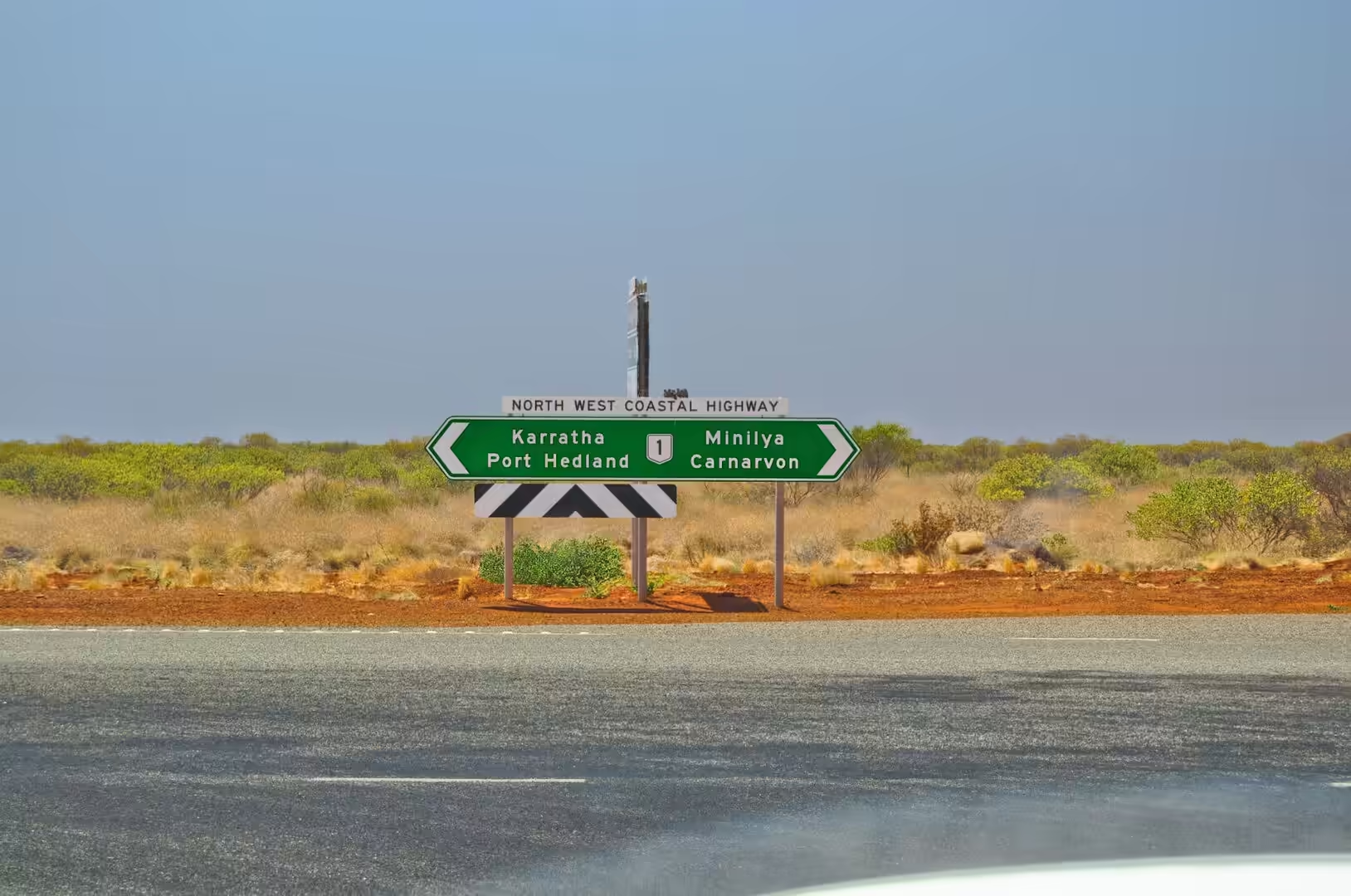
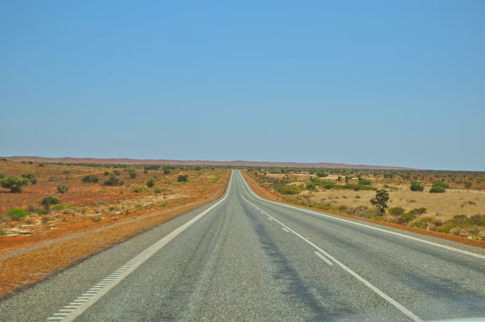
The fifteenth day was a driving day of the kind that this part of the country specialises in: four hundred kilometres of red earth, roadhouses and signs that list the names of towns that are still hours away. The morning began on the coast and ended inland, and the country in between is the transition from the Gascoyne to the Pilbara, from sheep and salt to iron and spinifex.
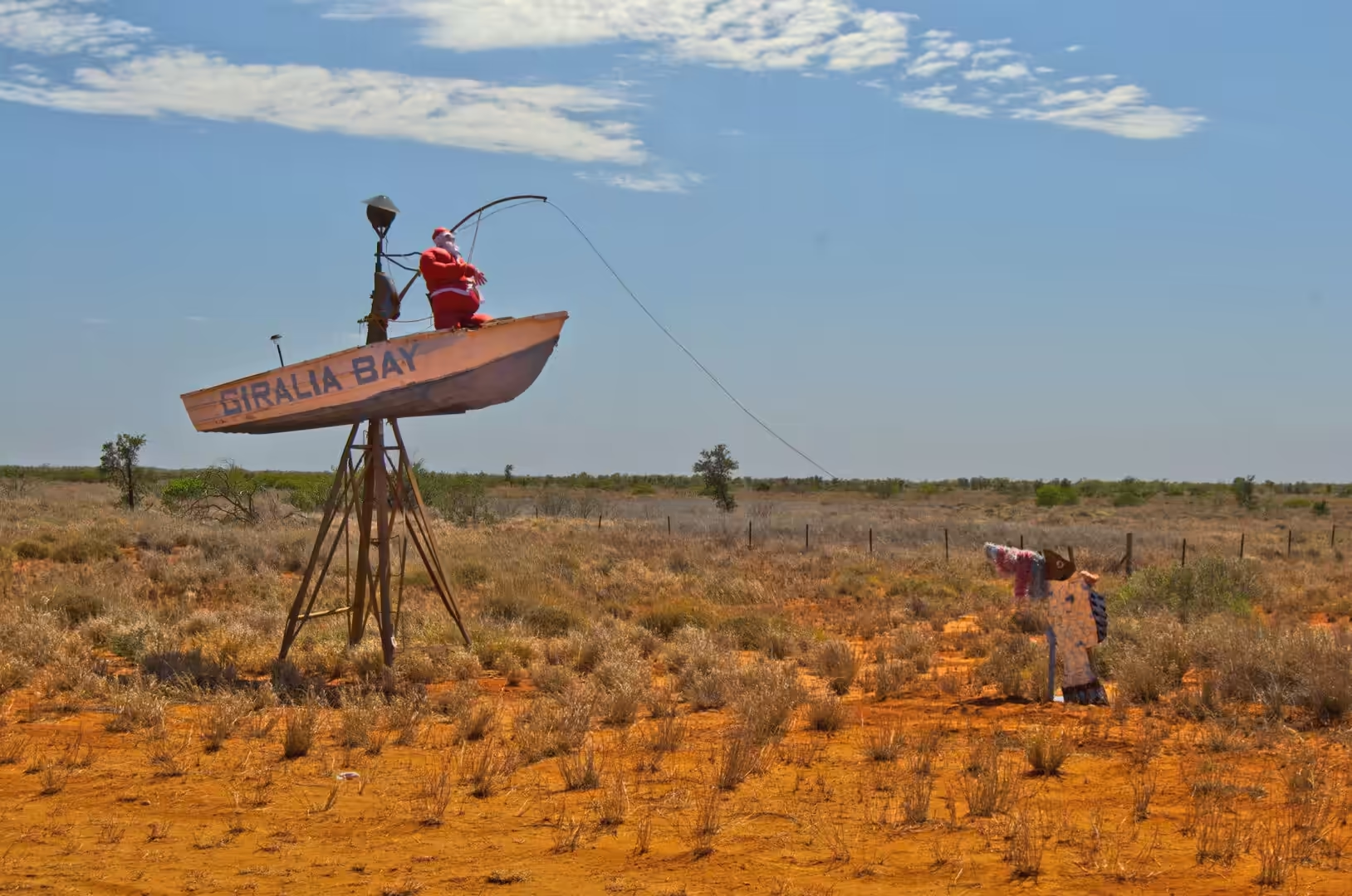
The first landmark was a surprise rather than a feature of the landscape. A weathered boat painted with the name of a bay stands beside the road with a fishing Santa at the helm, a Christmas decoration left in place by someone with a sense of humour and a lot of patience. It is one of a series of roadside oddities that mark the journey north, and it does the job that roadside art does everywhere: it gives a travelling family something to stop for.
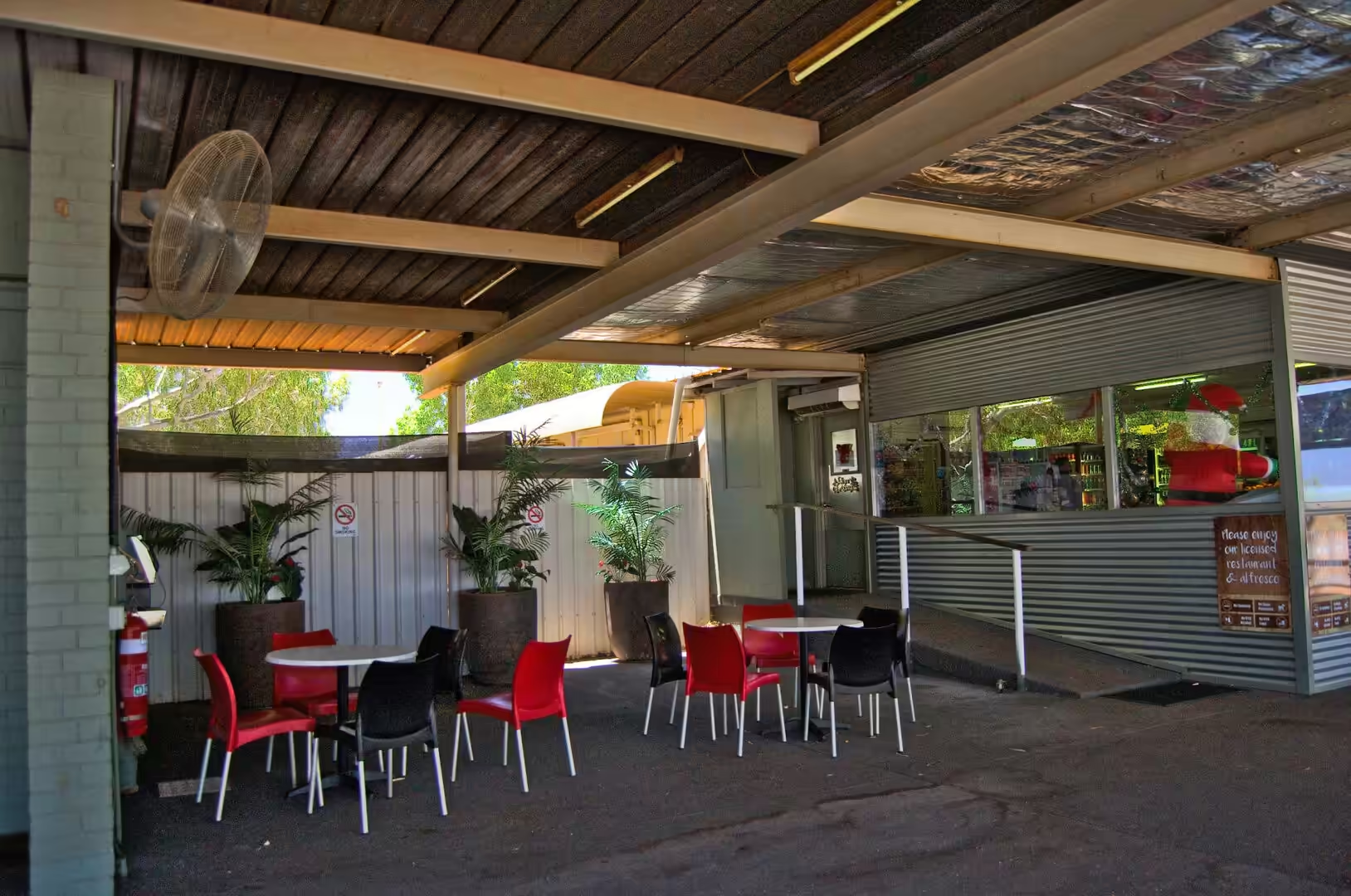
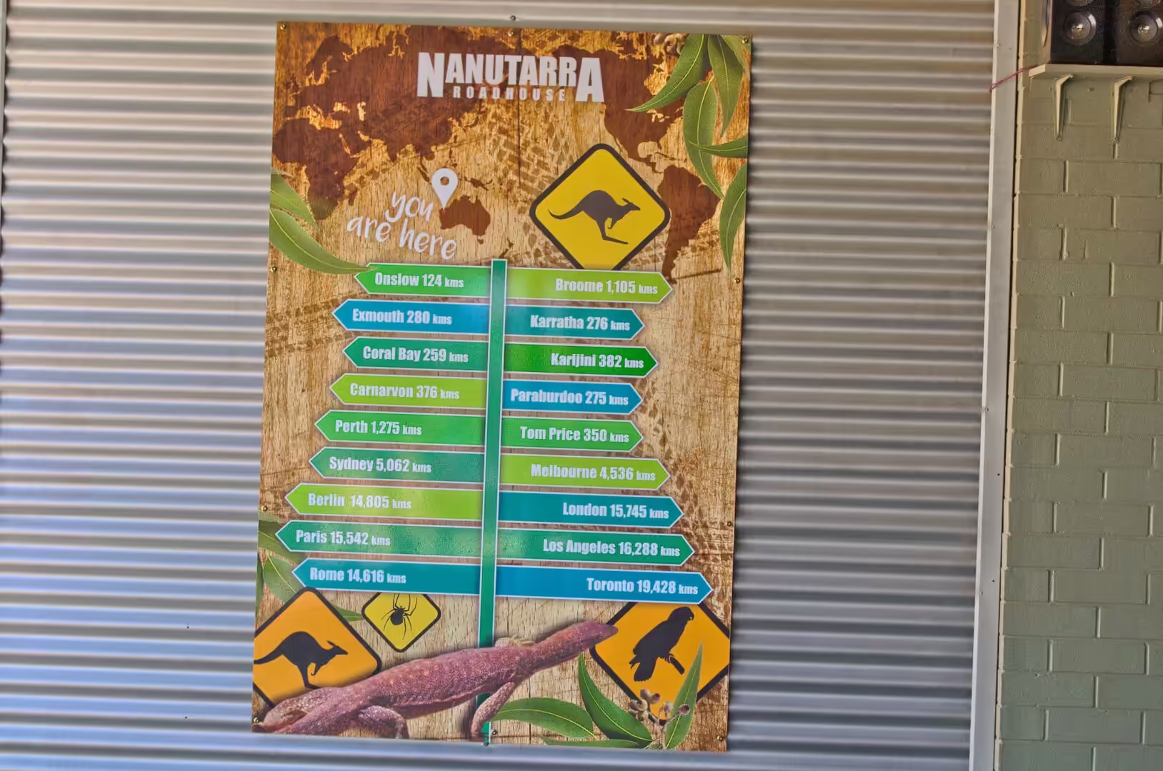
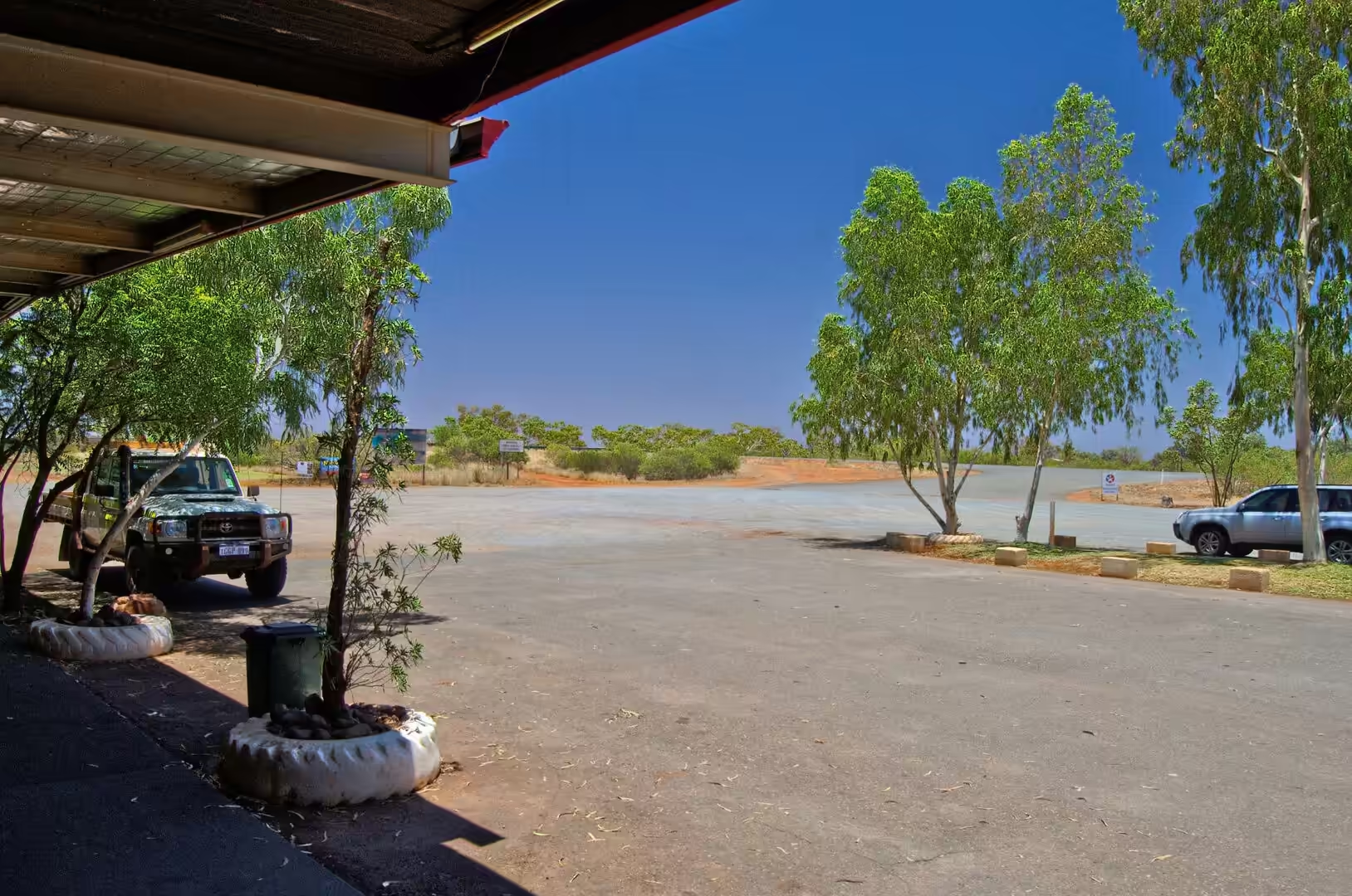
The stop that mattered was at the roadhouse at Nanutarra, where a sign lists the distances to the surrounding settlements and warns about kangaroos, and where a blue board shows the map of the whole state with the towns marked on it. A burger and chips were eaten at a table in the shade, the vehicle was filled at the pumps under a red and white canopy, and the road onward was watched for a while by a driver who had just understood how much of the map still lay ahead.
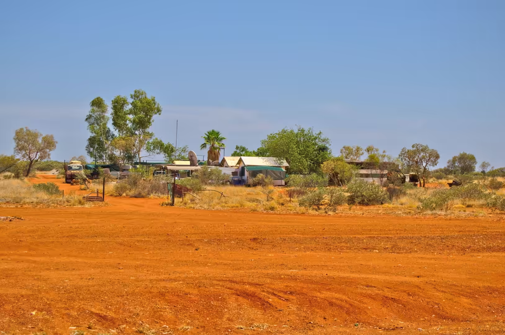
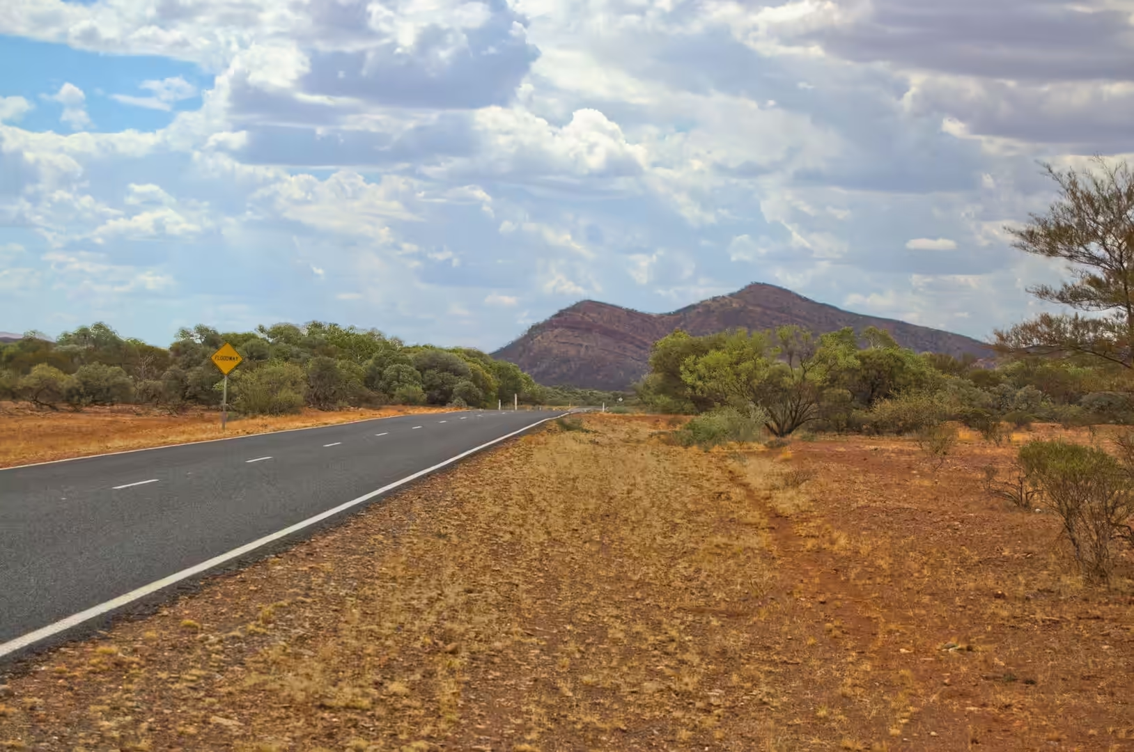
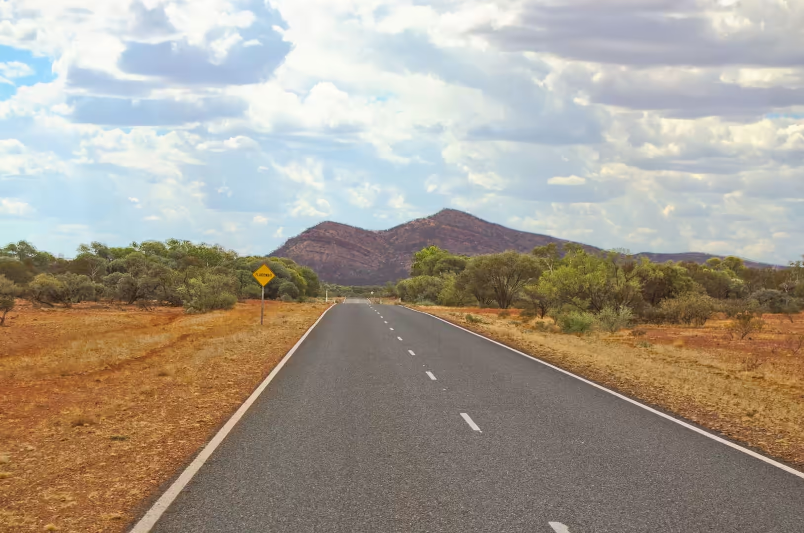
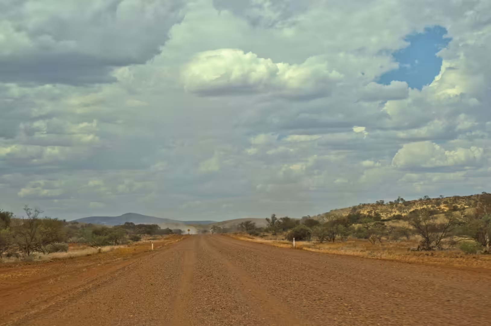
The afternoon was hot, straight and full of dust. A column of it swirled over the grass and the blackened ground of a recent fire scar, the road climbed slowly onto the plain, and the hills on the horizon turned from blue to brown as they came closer. The camp for the night was a small outback settlement of caravans, a shed and a shower block on red soil, with a shade sail over the table and red and black chairs beneath it, and it was as welcome as any hotel.
Fuel, water and planning are the three subjects of a day like this, and the routine is learned quickly. The tank is filled at every roadhouse whether it needs it or not, the water containers are topped up at every tap that is marked as drinking water, and the driving is done in the cool hours of the morning and the late afternoon. The distances between the settlements are long enough that a breakdown is a serious matter rather than an inconvenience, which is why the tyres and the spare are checked every morning and why the road trains and the station vehicles are given as much room as they want.
History
The Pilbara was pastoral country before it was mining country, and the roadhouse at Nanutarra is named after the sheep station it once served. Leases were taken up along the rivers in the late nineteenth century, stock was watered at wells and bores, and the routes between the stations became the roads that modern travellers use. The old homesteads, the windmills and the fence lines are still there, and the roadhouses that replaced the station stores are the direct descendants of that economy: fuel, food, water and news in the middle of nowhere.
The mining that changed everything began in the 1960s. Iron ore was known to exist in the Hamersley Ranges, but the deposits were far from any port and the export of ore from Australia was restricted until the ban was lifted at the end of 1960. Within a few years railways and towns were being built at a speed that the state had not seen before, and the mines at Tom Price, Paraburdoo and Mount Whaleback became the basis of the regional economy. The towns that serve them were built by the companies as complete settlements, with houses, schools, hospitals and swimming pools, and the arrangement shaped the society of the inland: a fly in fly out workforce, a shifting population and a permanent tension between the money and the country.
There is a darker history in the same range. At Wittenoom, in the gorges on the northern side of the Hamersley Range, blue asbestos was mined from the 1940s, and the company town that grew up around it had a population of several hundred by the 1960s. The mine closed in 1966, the town withered to a handful of residents, and the workers and their families began to die of the diseases that asbestos causes. The state has since removed the town’s services and advises strongly against travelling through the area, and the story of Wittenoom is taught as one of the worst industrial health disasters in the country’s history. Travelling through this country, it is worth knowing that the beauty of the gorges and the wealth of the mines come out of the same rock.
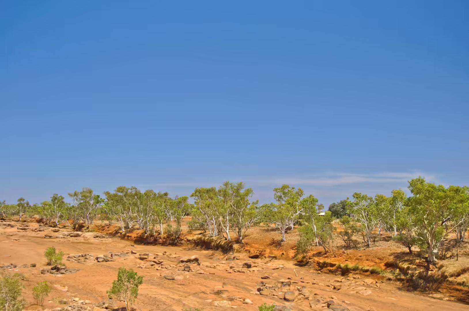
The fire scar beside the road is part of the same landscape’s modern history. The spinifex grasslands of the Pilbara burn regularly, mostly in the second half of the year, and the fires are started by lightning, by machinery and by accident. The country has evolved with them: many of the plants need fire to germinate, the grass regrows within weeks of rain, and the burnt ground recovers faster than a visitor would expect. The dust that rises from a scar on a windy day is the topsoil on its way somewhere else, and the cycle of fire, erosion and regrowth is one of the forces that shapes the vegetation of the whole region.
Geology
The rock under this country is among the oldest on Earth, and the reason the landscape looks the way it does is that nothing has happened to it for a very long time. The Pilbara Craton, the block of crust beneath the region, formed about three and a half billion years ago and has been stable ever since. Because it has not been buried, folded or melted for so long, the rocks at the surface are still the rocks that were laid down, weathered into the flat plains and low ranges that the road crosses.
The ranges themselves are the product of a later episode. About two and a half billion years ago, iron rich sediments were deposited in a shallow sea across what is now the Hamersley Basin, and the layers they formed are the banded iron formations: alternating bands of iron oxide and chert, from a few millimetres to a few metres thick, that can be hundreds of metres in total thickness. The iron came from the ocean, where the chemistry of the water allowed it to accumulate on the sea floor, and the banding records changes in that chemistry over millions of years.
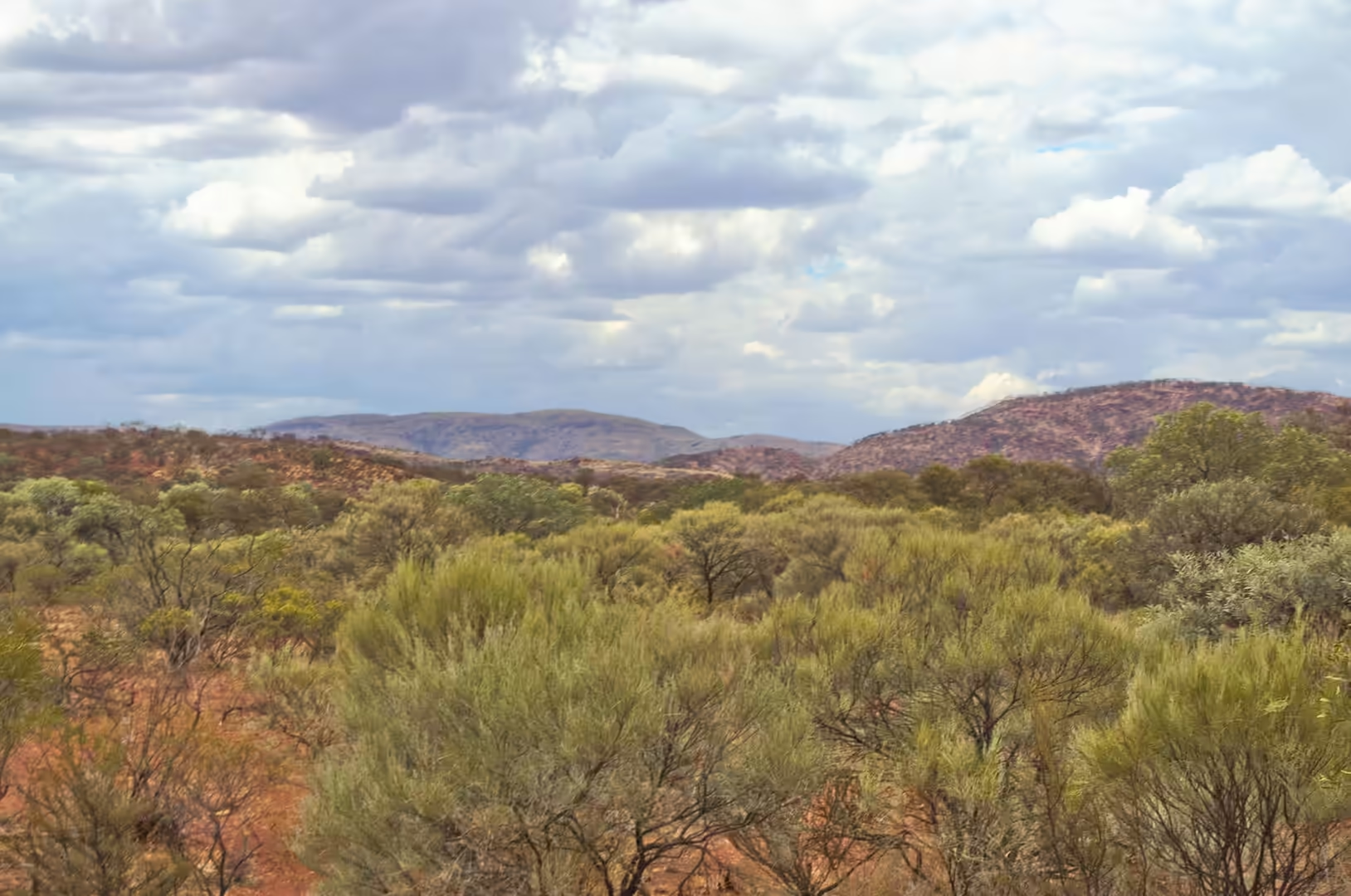
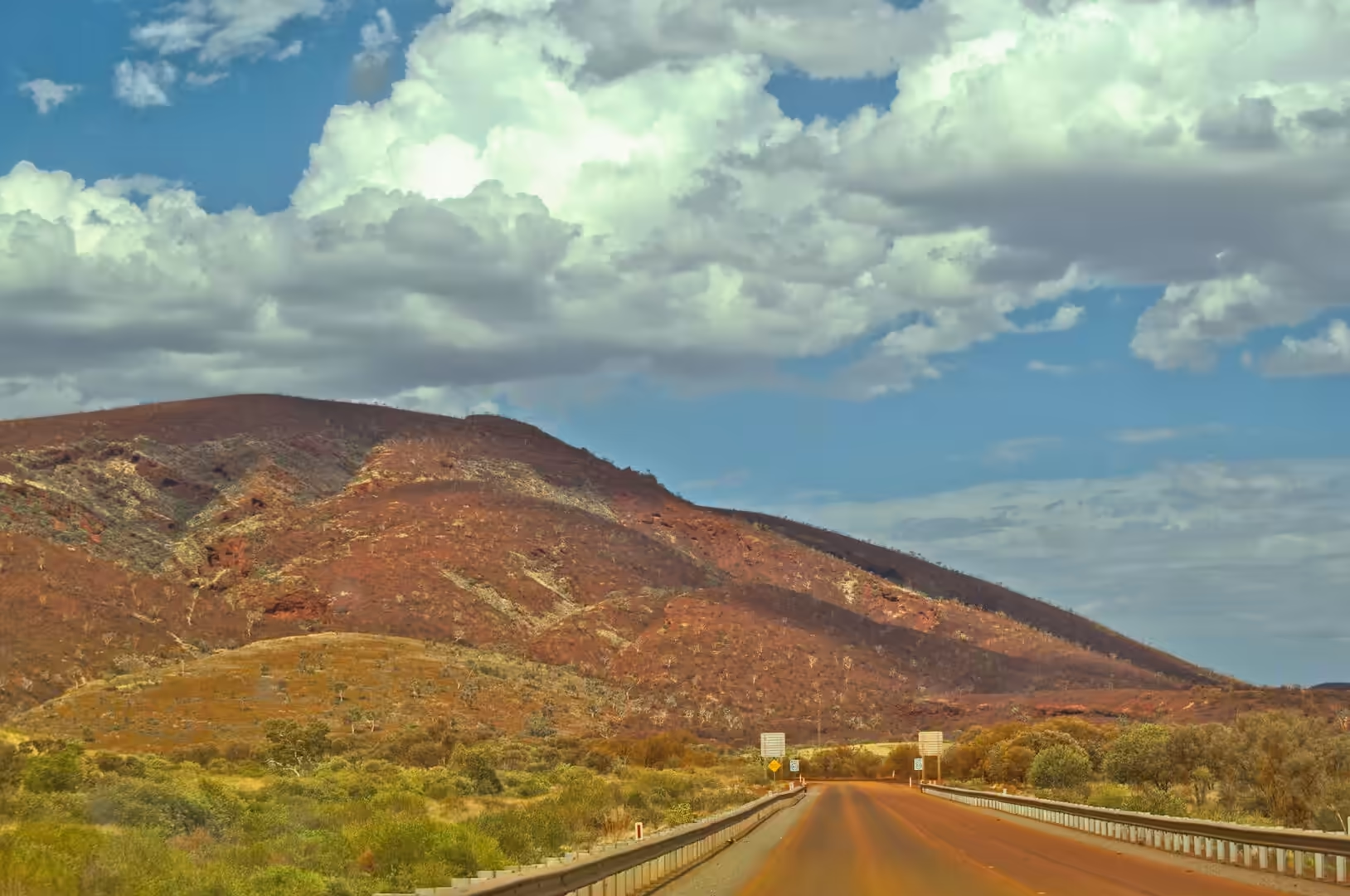
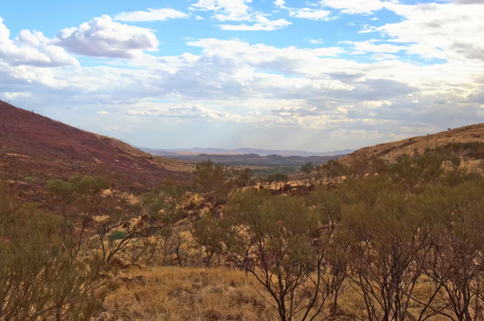
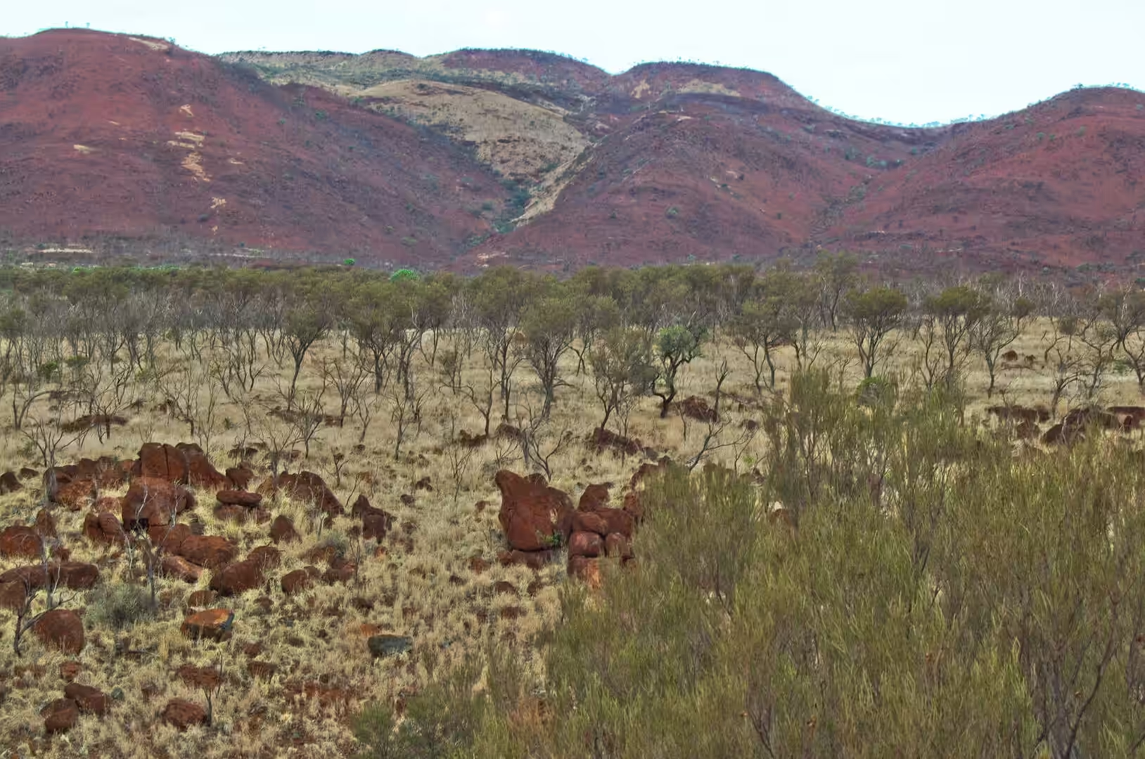
The flat topped ranges that stand on the skyline are those same sedimentary layers, tilted and then planed off. The iron rich bands resist erosion, the softer shales between them do not, and the result is the mesa and cliff landscape that gives the Pilbara its look: horizontal lines of dark rock, red slopes of soil below them, and long straight escarpments running for tens of kilometres. Almost every colour in the landscape, from the ochre of the soil to the black of the ironstone, comes from iron in one form or another.
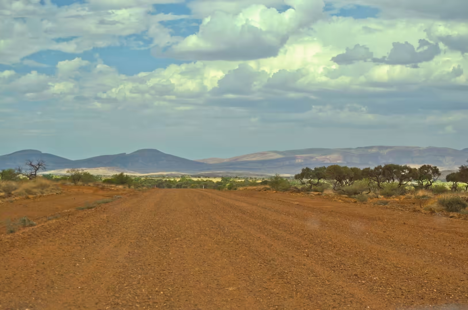
The red earth of the plains is the product of weathering in a stable environment. Iron in the rock oxidises, the minerals break down into clay and sand, and the iron oxide that is left coats the grains and gives the soil its colour. Because the climate is dry and the topography is gentle, the material stays where it forms instead of being washed away, and the plain is covered in a layer of it several metres deep. The dust that rises when a vehicle leaves the road is that same material, and the reason there is so much of it is that there is nothing left to carry it anywhere.
The scale of the iron deposits under this landscape is difficult to grasp from the road. The Hamersley Basin contains one of the largest concentrations of iron ore on Earth, formed by the enrichment of the banded iron formations over billions of years as groundwater and weathering removed the silica and left the iron behind. The ore bodies that the mines work are the product of that secondary enrichment, and the enrichment is the reason the basin matters: the rock of the ranges is between thirty and sixty per cent iron, and the ore that is shipped from the ports is a concentration of the same material.
Things to See
The roadhouses are the institutions of a journey like this and they deserve a proper stop. Nanutarra has fuel, food, a shaded table, a map of the state and a sign with the distances to the next settlements, and the staff behind the counter know exactly how far it is to the next fuel and what the road is like beyond it. The same is true of every roadhouse on this stretch, and the pattern of a day is built around them: a stop every hundred and fifty kilometres or so, a cold drink, a look at the tyres and the water, and then on again.
The settlements along the route are small and practical. Inland from the coast the road passes station country and then the mining towns, each of which has a different reason to exist: Tom Price was built for the iron mine beside it, Paraburdoo for another, and the coastal towns for the ports. What they have in common is a layout planned in the twentieth century, a shopping centre with a supermarket, a swimming pool that is used every day in summer, and a population that turns over quickly. The town squares, with a ute and an SUV parked on red dirt between rocks, are the social centre of these places, and a visitor spending an hour in one learns more about the region than any number of interpretive signs.
The country changes with every hour of driving, and the changes are worth watching for. The wheat and sheep country of the south gives way to the mulga and the saltbush, then to the spinifex and the bare red earth, and finally to the mesas and the ranges. The bird life changes with it: the parrots and the cockatoos of the southern forests give way to the little corellas, the galahs, the budgerigars and the raptors of the interior, and every roadhouse car park has its resident flock. The warning signs change too, from kangaroos to cattle to the long stretches with no fuel and no shade.
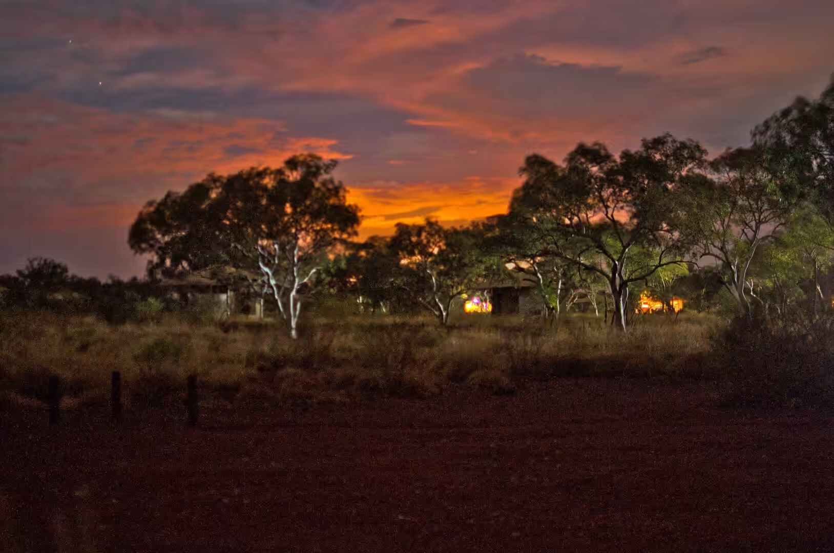
The best part of the day comes at the end of it. The sun goes down over the plain, the dust in the air turns the light orange, the temperature falls by ten degrees in half an hour, and the camp settles into the routine that the journey has established: water for the day after, food, and then the stars. On a night like this, with no town within a hundred kilometres and no lights on the horizon, the southern sky is the most impressive thing that this part of the world has to offer, and it is free.
References
- Wikipedia contributors (2026). Karijini National Park. en.wikipedia.org/wiki/Karijini%20National%20Park
- Wikipedia contributors (2026). Hamersley Basin. en.wikipedia.org/wiki/Hamersley%20Basin
- Wikipedia contributors (2026). Hamersley Range. en.wikipedia.org/wiki/Hamersley%20Range
- Wikipedia contributors (2026). Banded iron formation. en.wikipedia.org/wiki/Banded%20iron%20formation
- Wikipedia contributors (2026). Pilbara. en.wikipedia.org/wiki/Pilbara
- Wikipedia contributors (2026). Pilbara Craton. en.wikipedia.org/wiki/Pilbara%20Craton
- Wikipedia contributors (2026). Wittenoom, Western Australia. en.wikipedia.org/wiki/Wittenoom%2C%20Western%20Australia
- Wikipedia contributors (2026). Fortescue River. en.wikipedia.org/wiki/Fortescue%20River
- Wikipedia contributors (2026). Tom Price, Western Australia. en.wikipedia.org/wiki/Tom%20Price%2C%20Western%20Australia
- Wikipedia contributors (2026). Chichester Range. en.wikipedia.org/wiki/Chichester%20Range
- Wikipedia contributors (2026). Iron ore. en.wikipedia.org/wiki/Iron%20ore
- Wikipedia contributors (2026). BHP. en.wikipedia.org/wiki/BHP
- Trendall A. (1983) Chapter 3 The Hamersley Basin. Developments in Precambrian Geology. 69-129. doi.org/10.1016/s0166-2635(08)70042-2
- Morris R. (1993) Genetic modelling for banded iron-formation of the Hamersley Group, Pilbara Craton, Western Australia. Precambrian Research. 60. 243-286. doi.org/10.1016/0301-9268(93)90051-3
- Shibuya T., Aoki K., Komiya T., Maruyama S. (2010) Stratigraphy-related, low-pressure metamorphism in the Hardey Syncline, Hamersley Province, Western Australia. Gondwana Research. 18. 213-221. doi.org/10.1016/j.gr.2010.01.002