Day 13 - Coral Bay / Ningaloo Reef



Journal Notes
General
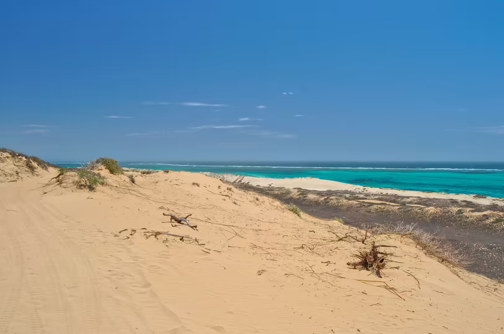
The thirteenth day began with a lift to the dunes and ended in the water. The dune field lies south of the settlement, a broad belt of sand that has been pushed inland by the wind off the beach and fixed in place only at its edges by scrub. Tyre tracks wind across the bare sand toward the sea, and on an early start the surface is smooth and unmarked, with the shadows of the ridges running in long parallel lines across it.
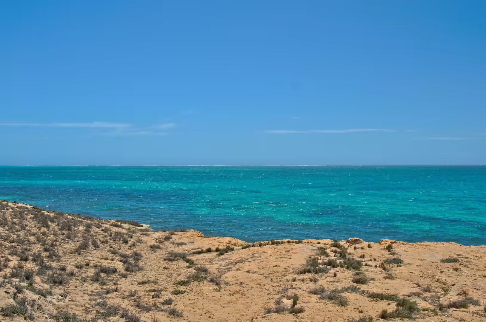
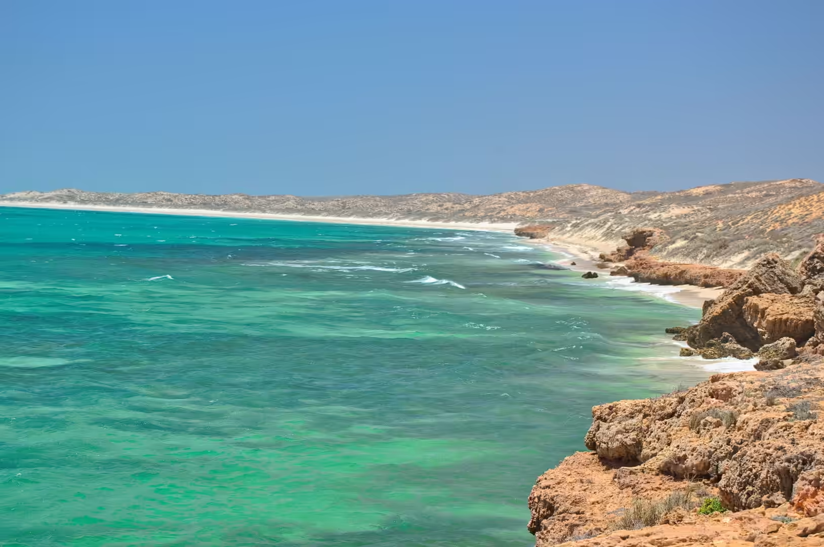
The quad bike tour runs in that dune field, and it is the one organised activity of the week. Helmets and goggles are issued, the machines are paired so that a rider and a passenger travel together, and the guide leads the group along the sandy tracks and down the faces of the big dunes to the shoreline. The pace is slow enough to look at the country and fast enough to feel the wind, and the view from the top of a dune takes in the whole coast: red cliffs to the south, a long white beach, and the turquoise band of the lagoon with the dark line of the reef beyond it.
The afternoon was spent in the shallows. The water on this stretch is crystal clear over a floor of sand and rock, with orange boulders standing in green-blue shallows and patches of coral between them, and it is shallow enough over the reef flat to walk with care where the sand shows. By the end of the day the routine of the previous days had become automatic: mask, fins, hat, water bottle, and out of the sun by eleven.
The day began early because the dunes are at their best before the wind gets up. The sand at dawn is cool enough to walk on, the tracks from the previous day are smoothed over, and the light comes in at a low angle from the sea so that every ridge casts a shadow. By ten the surface is hot enough to burn a bare foot and the wind has started to move the crests, and the difference between the two hours is the difference between a landscape and a hazard.
History
The dune field behind Coral Bay is a young landscape in geological terms and an ancient one in human terms. The sand has been accumulating through the Holocene, the period since the last ice age, as the sea level settled and the wind worked on the beaches and the shallow sea floor. The same wind built the ridges that the tours now drive over, and the process is still going on: on a windy day the crests move, and the tracks disappear from one season to the next.
The settlement has grown in the same period of time, though far more quickly. Coral Bay began as a fishing and camping place, survived on the catch and on the few travellers who came north on dirt roads, and changed character when the roads were sealed and the reef became famous. Its economy now rests almost entirely on visitors, and the number of beds, the number of boat operators and the number of rules have all grown with them. The result is a place that is small, seasonal and completely dependent on the condition of the reef beside it.
The human history of the wider coast is much older. The cape and the gulf were used by the Yamatji peoples for thousands of years before the first European ships arrived, and the coastal sites of the region hold the evidence of that use: shelters with deposits of shells and bones, stone artefacts, and places where fish were taken from the shallows. The dune field itself has produced archaeological material, which is one of the reasons the parks service asks visitors to stay on the tracks and leave what they find where it lies.
The modern history of the coast is a history of protection. The marine park was declared in the 1980s, the national park was expanded, the World Heritage listing followed in 2011, and the rules that the visitor encounters on the beach are the product of that sequence. Quad bikes are confined to the dunes, boats may not anchor on the coral, fishing is limited in the sanctuary zones, and the rangers who enforce the rules are visible in the season. None of it is popular with everyone, and all of it is the reason the reef is still worth visiting.
Geology
The dunes are made of the same material as the beaches they came from, and the colour tells the story of the two sources. The pale carbonate sand is shell and coral debris, produced in the lagoon and thrown up onto the beach by the swell; the reddish sand is quartz coated with iron oxide, worked down from the interior by rivers that no longer flow. The wind sorts the grains by size as it moves them, and the ridges of the dune field are the record of the wind’s direction over thousands of years.
A dune is a machine for moving sand, and its behaviour depends on what grows on it. Bare sand is mobile: the wind lifts it, carries it along the surface and builds it into ripples and ridges, and the process only stops when something anchors the grains in place. The vegetation that does that work here is spinifex and a handful of shrubs, all of them tolerant of salt, drought and burial, and their roots and rhizomes turn a moving surface into a stable one. The line between the bare sand of the dunes and the vegetated plain behind them is a line between movement and stability, and a track across it can start the movement again.
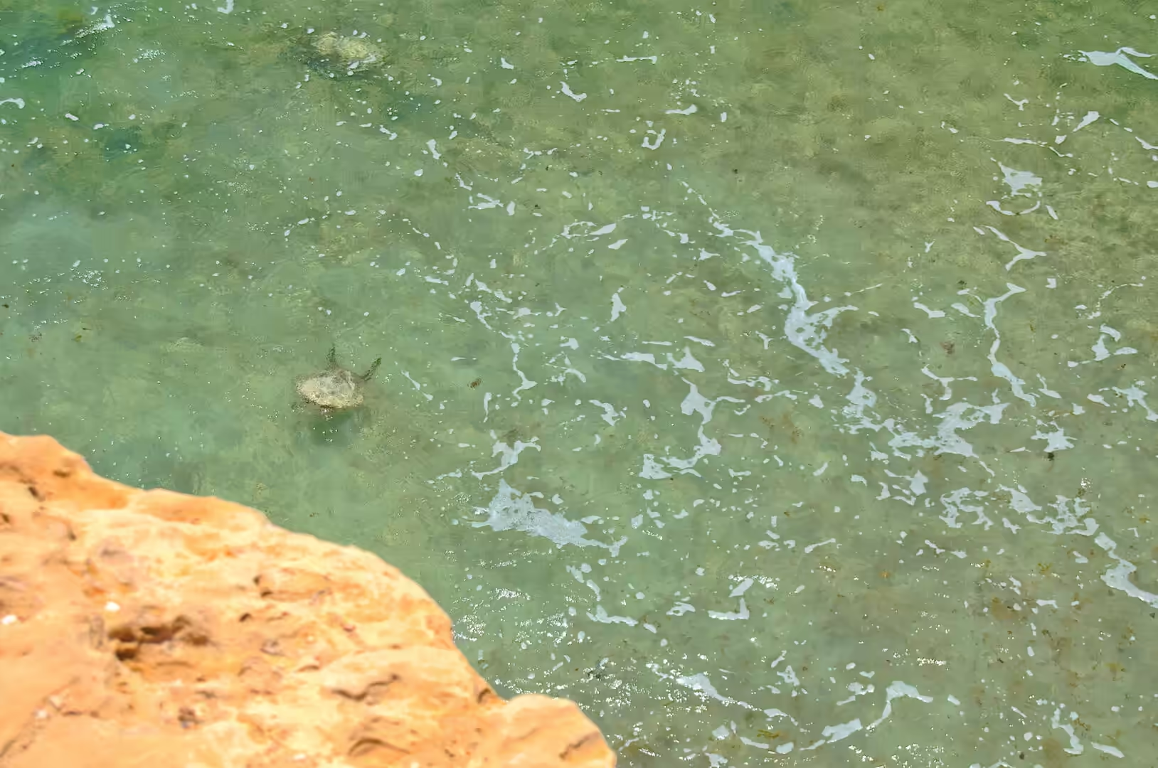
The rocky shore south of the settlement shows the other half of the coastal geology. Where the limestone is exposed at the water’s edge it forms low ledges and platforms, and the sea has cut pools and channels into them. Boulders that have been detached from the platforms lie in the shallows, and coral and algae grow on them, which is why the shallow water here is more interesting than the bare sand further north: the rock gives the reef something to hold on to, and the result is a patchwork of sand, rock, coral and seagrass that supports a much wider range of fish.
In the shallow water of the lagoon the light does most of the work that the eye notices. Sand that is one colour out of the water becomes a dozen shades beneath it, the ripple patterns on the floor move with the refraction, and the patches of coral and seagrass appear as dark shapes that shift as the swimmer moves. The clarity of the water is a product of the aridity of the land and the small tidal range: no rivers deliver sediment, the tides do not stir the floor, and the result is visibility that is measured in tens of metres.
The groundwater below the dunes is the reason the vegetation on them survives, and it is also the reason the settlement has to be careful about what it does on land. Fresh water sits in the sand and limestone as a lens floating on the denser salt water below, topped up by rain that falls on the plain and moves slowly toward the sea. Anything that disturbs the surface, whether a track, a clearing or a leaking tank, can change the flow of that water, and the bores that supply the town are monitored because of it.
Things to See
The dune tour needs to be booked in advance and takes about two hours, and it is worth doing for the view alone. The operators provide helmets, goggles and a guide, they pair riders and passengers on shared machines, and they take the group along the tracks and down the faces to the beach. The rules about staying on the tracks, following the guide and keeping off the vegetated areas are enforced for good reasons, and the same country is used by walkers and by wildlife in the early morning and the evening.
The beaches north and south of the settlement are the quieter alternative. Each is a short drive along the coast road and each has a different character: a sandy track down to a bay, a rocky platform with pools, a long empty stretch of white sand with a car park and nothing else. There are no lifeguards, no facilities and no shade beyond what can be carried, and the water is the same reef water that runs along the whole coast.
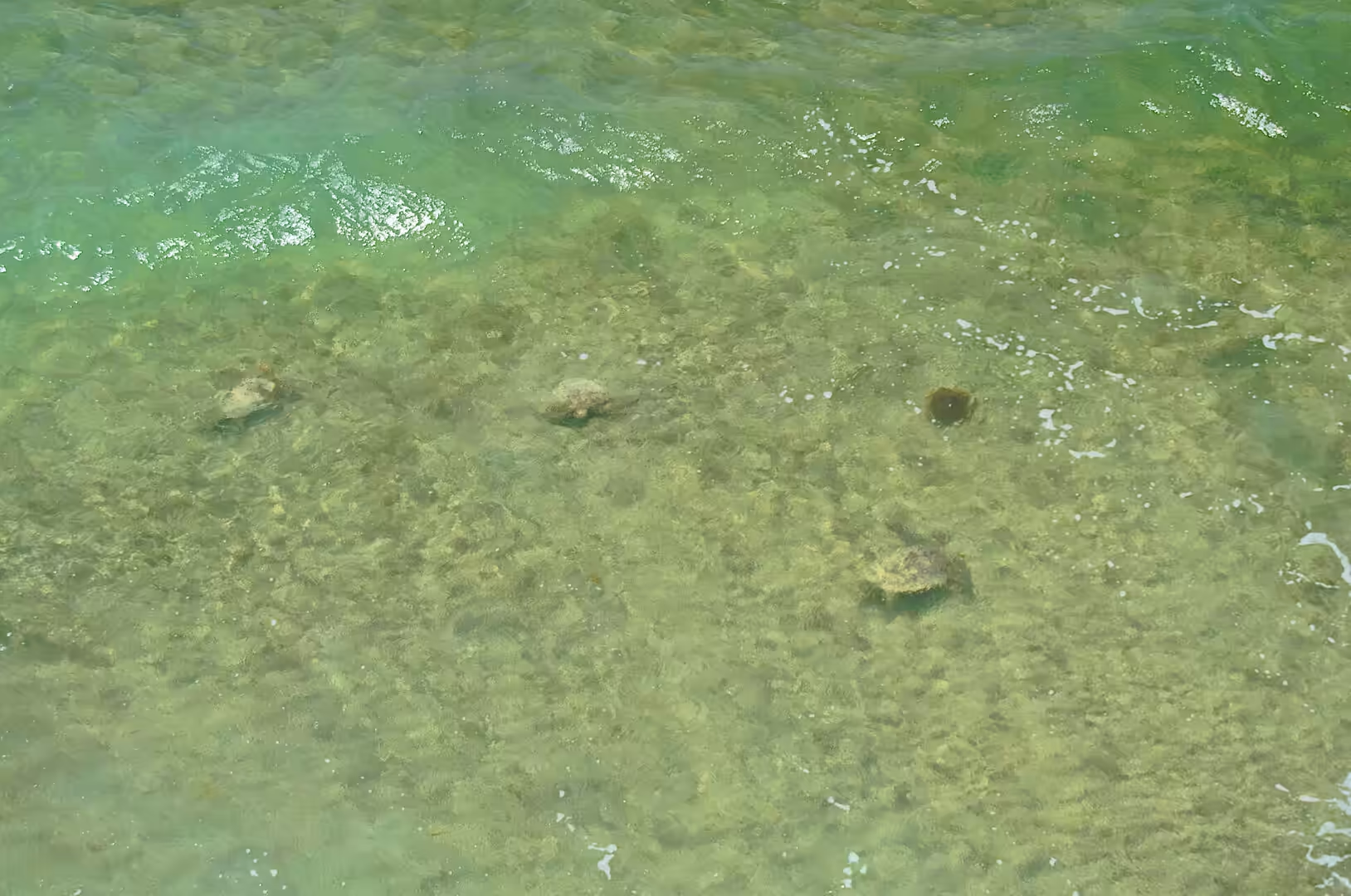
The snorkelling is the reason most people are here, and it repays patience. The best conditions are a morning high tide, a light wind and a rising tide, and the best plan is to swim with the current and walk back rather than fight it. Turtles, rays, octopus and cuttlefish live in the lagoon and are seen regularly, the fish are used to swimmers and do not scatter, and the coral close to the beach is as good as the coral a kilometre out. What is needed is a mask that fits, a pair of fins and the discipline not to stand on anything.
The water at the end of a day like this is a different experience from the water in the middle of it. The light goes low, the wind drops, and the lagoon turns from turquoise to a deep blue-green with the sand showing through it in patches. A last swim in that light, with the reef below and the beach empty behind, is the reward for a day of sand and heat.
Practical arrangements for the dunes and the beaches are simple but worth stating. Water must be carried, because there is none beyond the settlement; the tracks are sandy and soft in the heat of the day, so a four wheel drive helps and tyre pressures matter; and everything brought onto the beach leaves with the visitor. The distance from the settlement to the far beaches is short on the map and slow on the ground, and a day spent driving between them is usually a day spent deciding which one to stay at.
The light is the thing that makes the dune country worth the walk, and the same light makes it worth walking in. In the middle of the day the sand is a flat glare with no shape to it; in the early morning and the late afternoon the ridges stand out in relief and the colours run from cream through orange to a deep red. A walk of an hour along the ridge line behind the beach, with the sea on one side and the vegetated plain on the other, is the cheapest and best activity in the area, and it needs nothing but water and a hat.
References
- Wikipedia contributors (2026). Coral Bay, Western Australia. en.wikipedia.org/wiki/Coral%20Bay%2C%20Western%20Australia
- Wikipedia contributors (2026). Ningaloo Coast. en.wikipedia.org/wiki/Ningaloo%20Coast
- Wikipedia contributors (2026). Ningaloo Reef. en.wikipedia.org/wiki/Ningaloo%20Reef
- Wikipedia contributors (2026). Ningaloo. en.wikipedia.org/wiki/Ningaloo
- Wikipedia contributors (2026). Ningaloo Marine Park (Commonwealth waters). en.wikipedia.org/wiki/Ningaloo%20Marine%20Park%20%28Commonwealth%20waters%29
- Wikipedia contributors (2026). Cape Range National Park. en.wikipedia.org/wiki/Cape%20Range%20National%20Park
- Wikipedia contributors (2026). Exmouth, Western Australia. en.wikipedia.org/wiki/Exmouth%2C%20Western%20Australia
- Wikipedia contributors (2026). Whale shark. en.wikipedia.org/wiki/Whale%20shark
- Wikipedia contributors (2026). Dugong. en.wikipedia.org/wiki/Dugong
- Wikipedia contributors (2026). Exmouth Gulf. en.wikipedia.org/wiki/Exmouth%20Gulf
- Wikipedia contributors (2026). Indian Ocean Drive. en.wikipedia.org/wiki/Indian%20Ocean%20Drive
- Wikipedia contributors (2026). North West Cape. en.wikipedia.org/wiki/North%20West%20Cape
- Duffy S., Layton R.A. (2017) Whale sharks, Ningaloo Reef, Western Australia. Social Marketing. 509-524. doi.org/10.4324/9781315648590-30
- Duffy S., Layton R., Dwyer L. (2018) Whale shark tourism at Ningaloo Reef. Coral Reefs: Tourism, Conservation and Management. 119-134. doi.org/10.4324/9781315537320-9