Day 12 - Coral Bay / Ningaloo Reef




Journal Notes
General
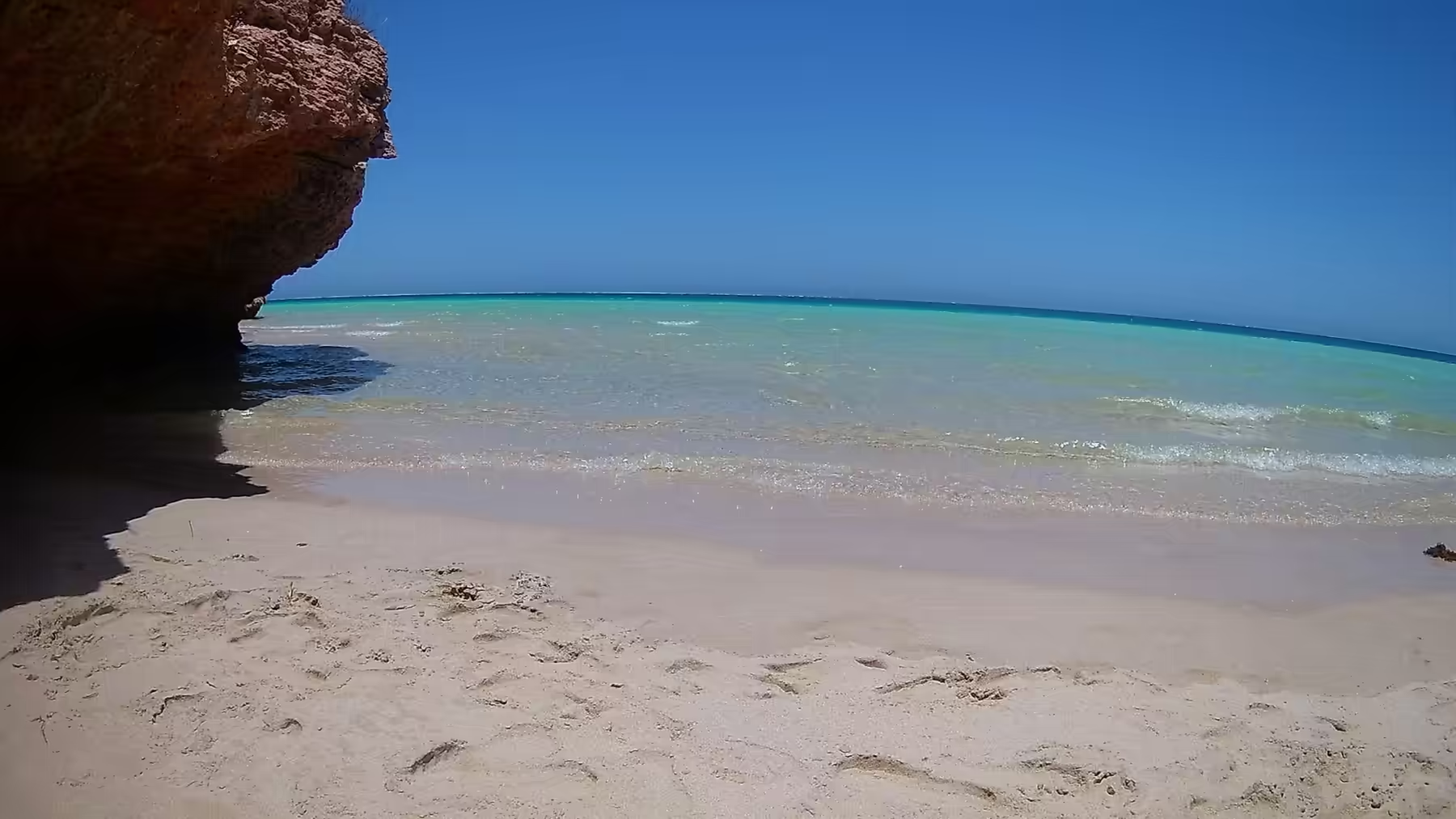
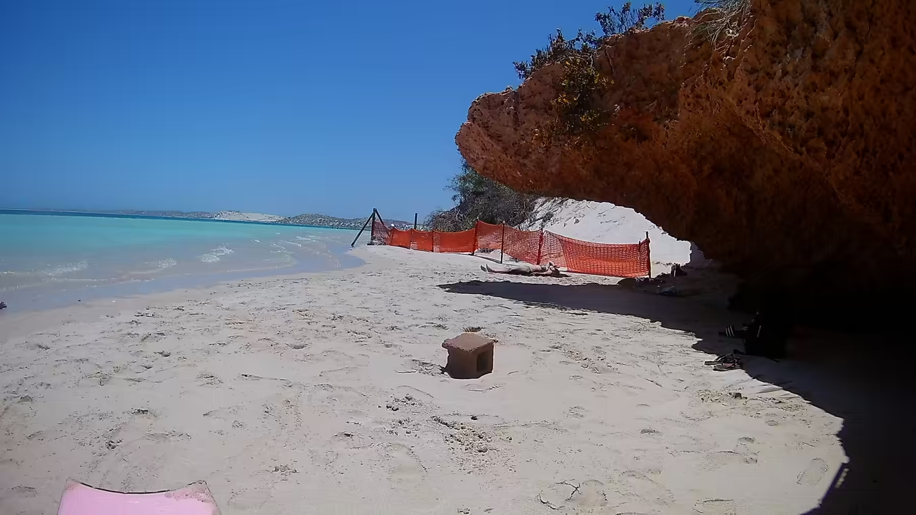
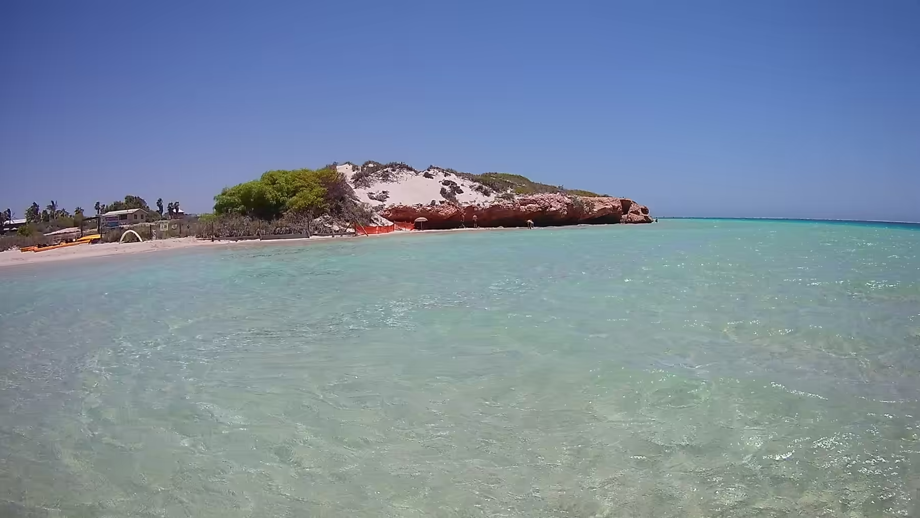
The twelfth day moved camp to the national park and spent the whole of it on the western side of the peninsula. The beaches under the cliffs of Cape Range are backed by red rock overhangs, and in the middle of the day the shade under one of them is the only comfortable place to be. Orange safety netting is strung across a few of these sites to keep people away from the crumbling rock, and the arrangement is a reminder that the national park is a working geological site as much as a place to swim.
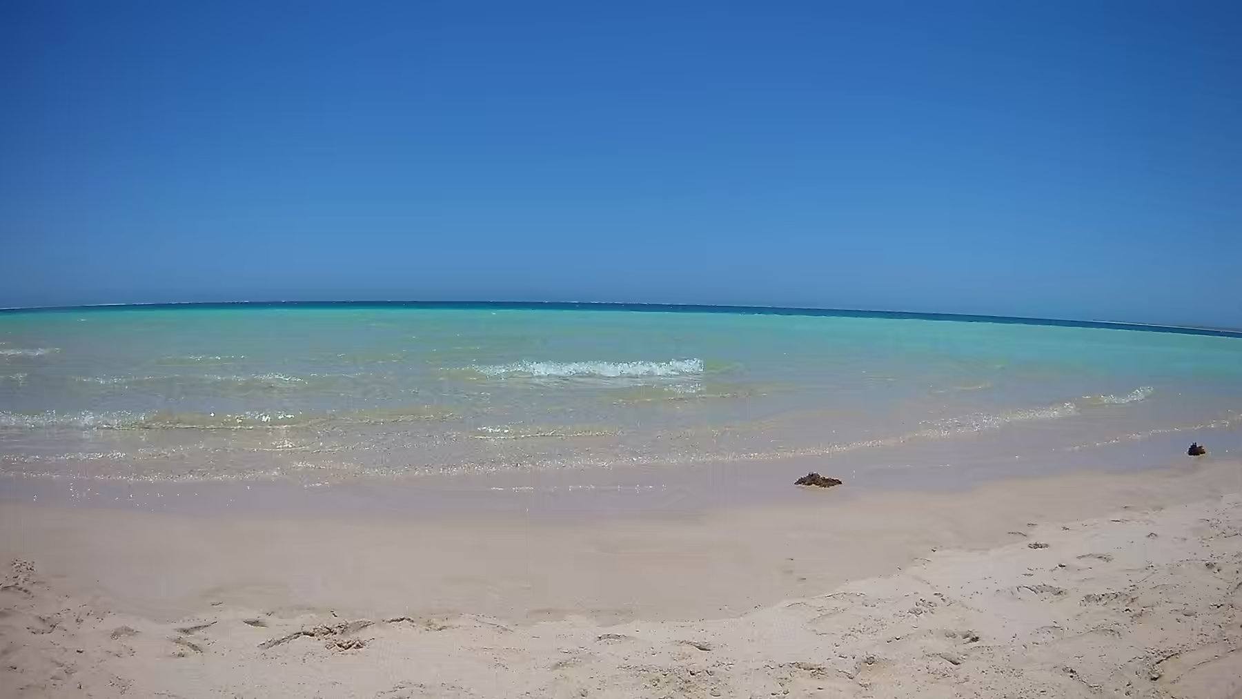
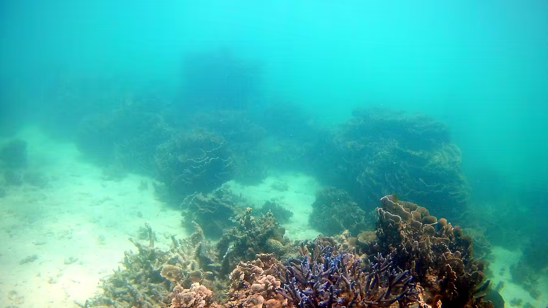
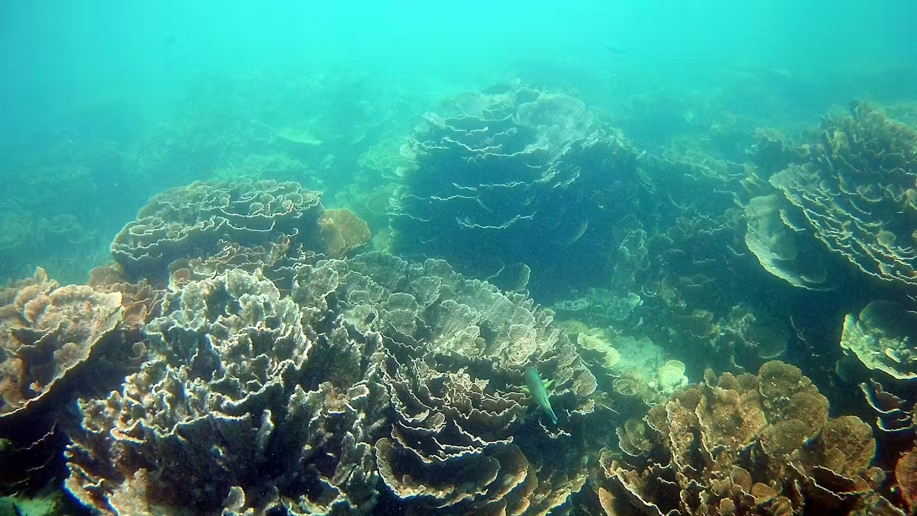
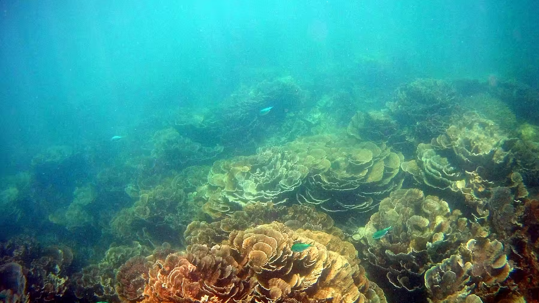
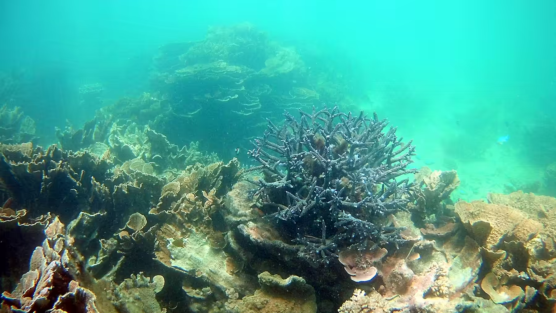
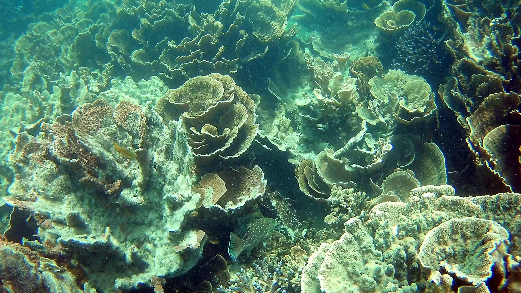
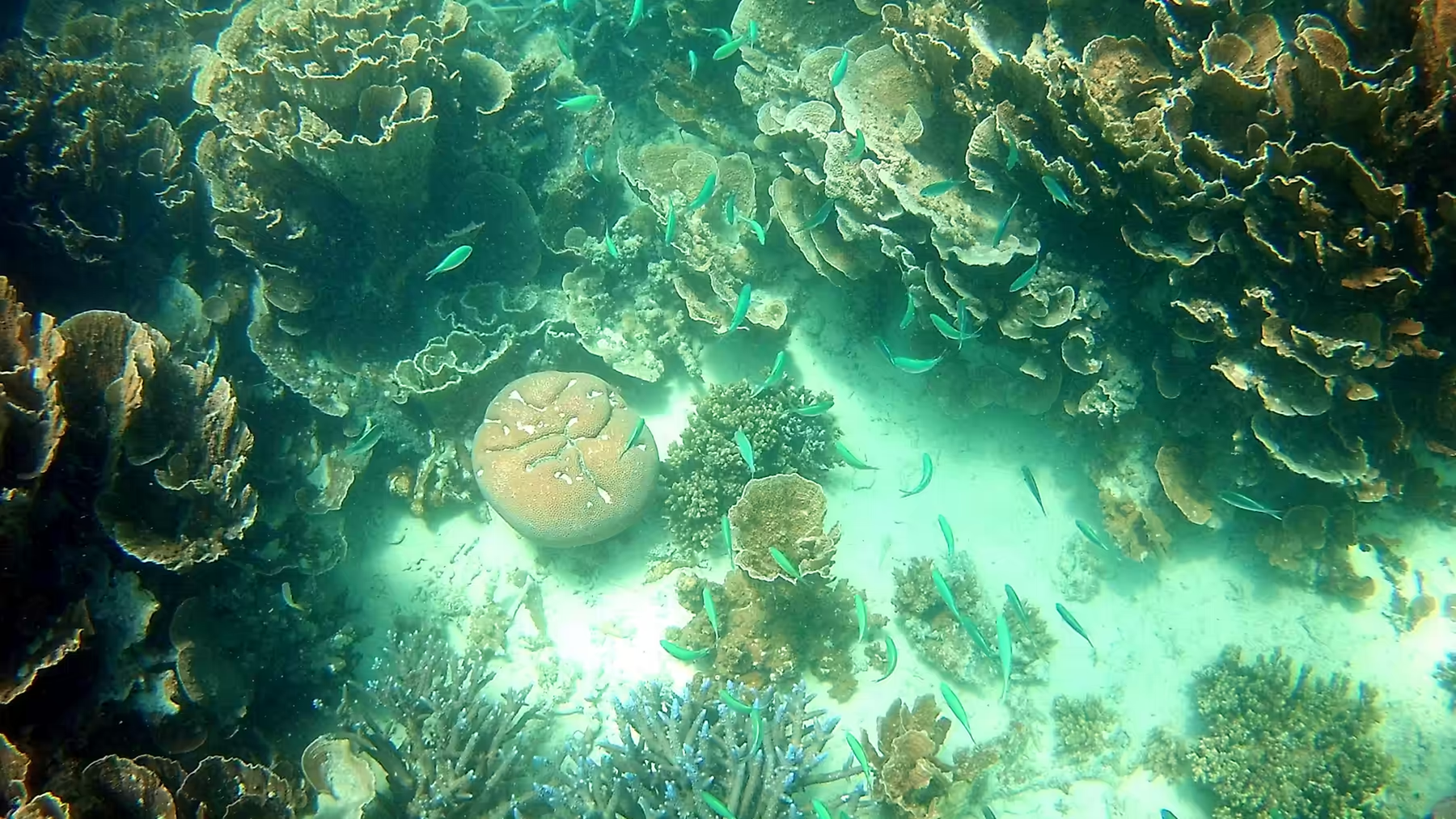
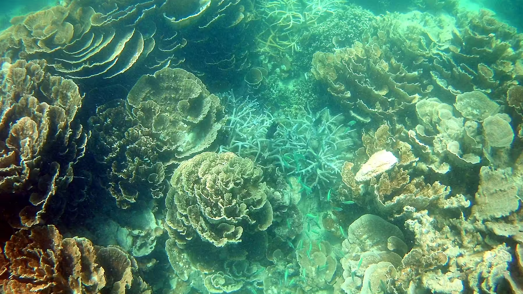
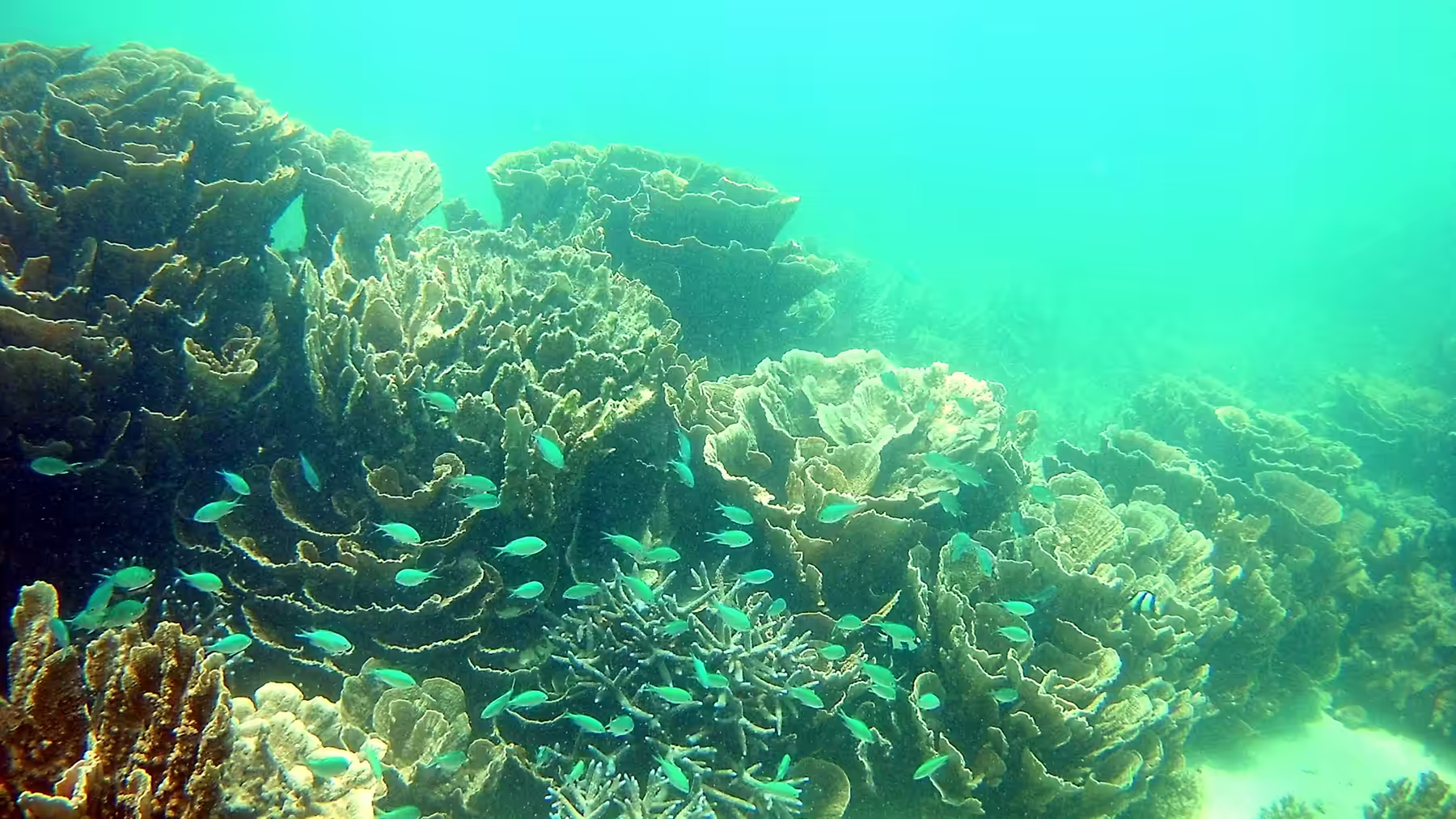
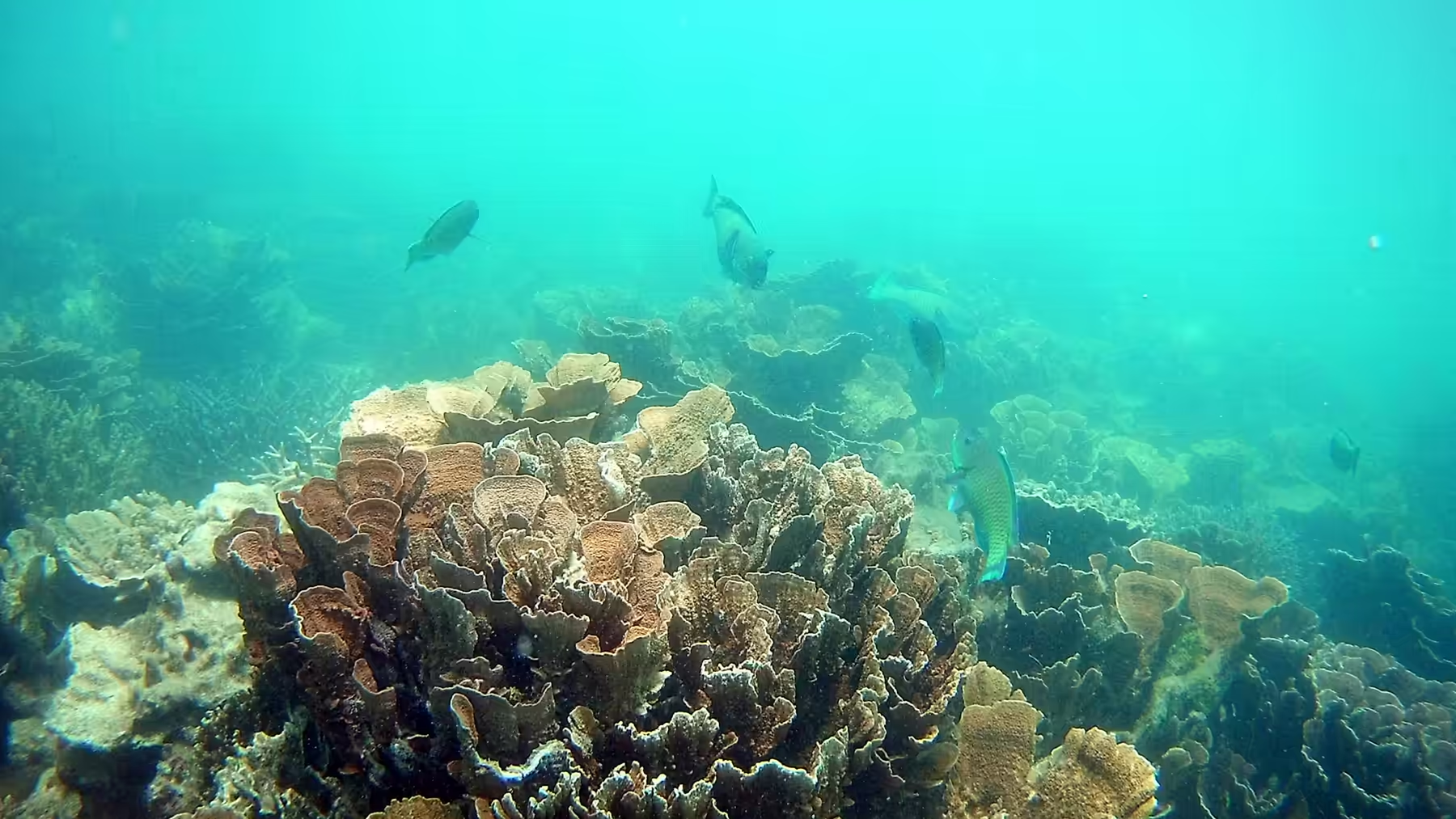
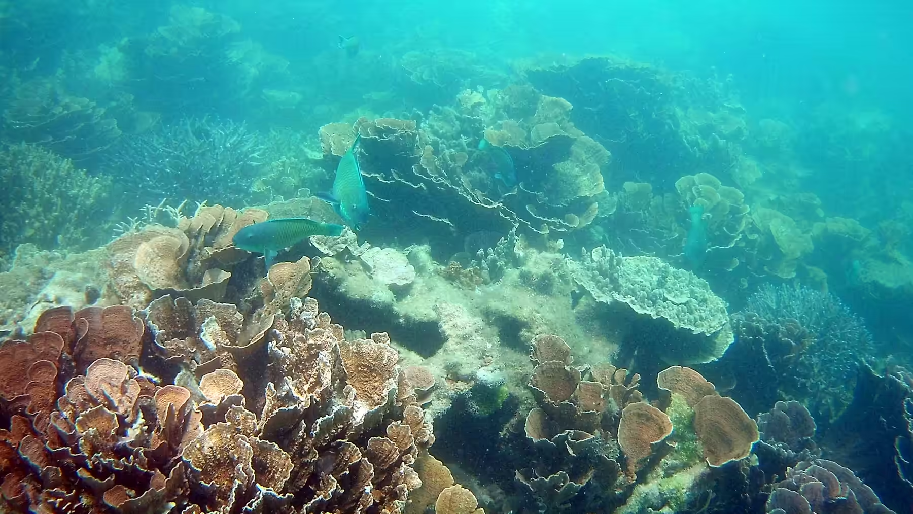
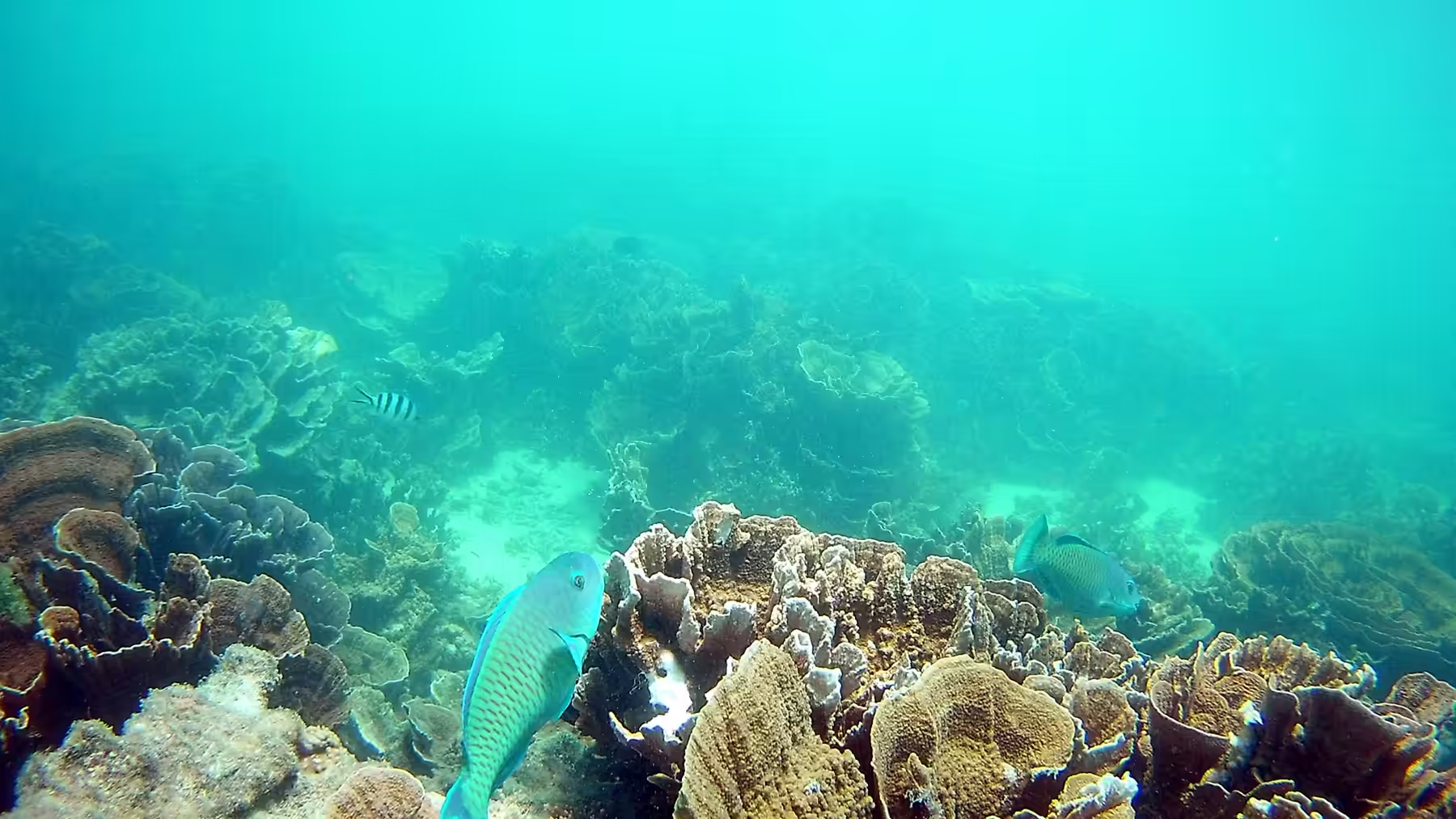
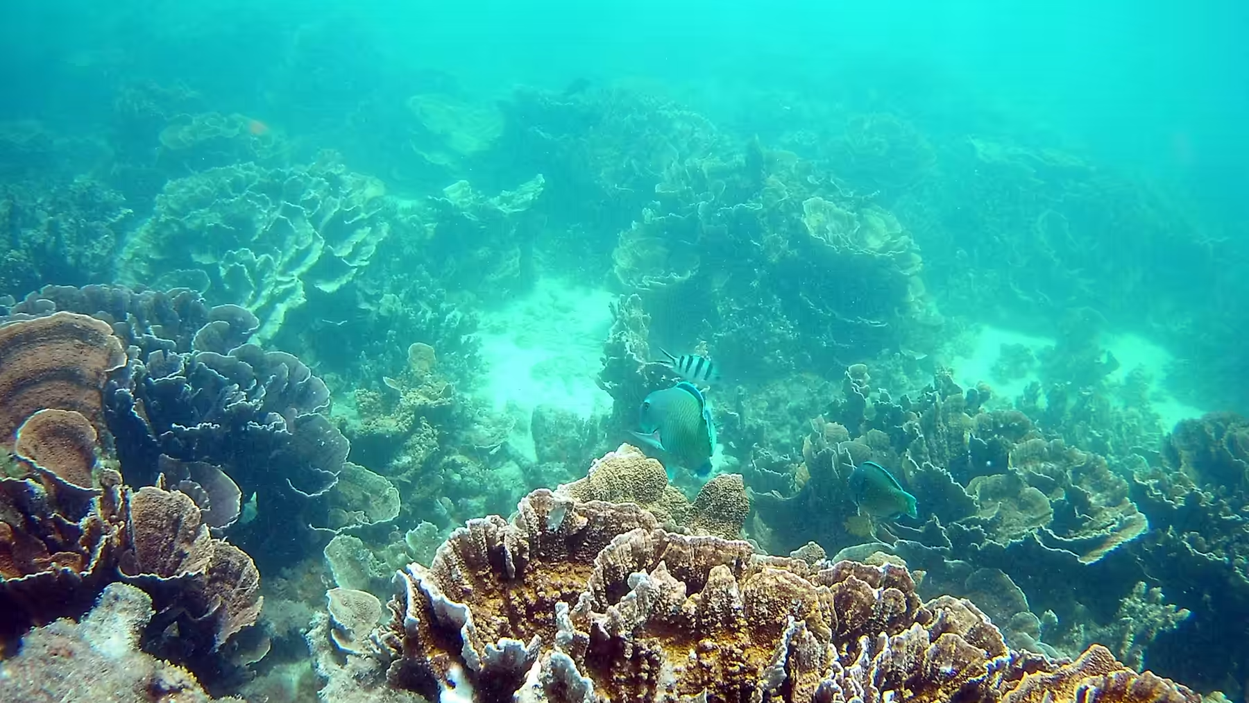
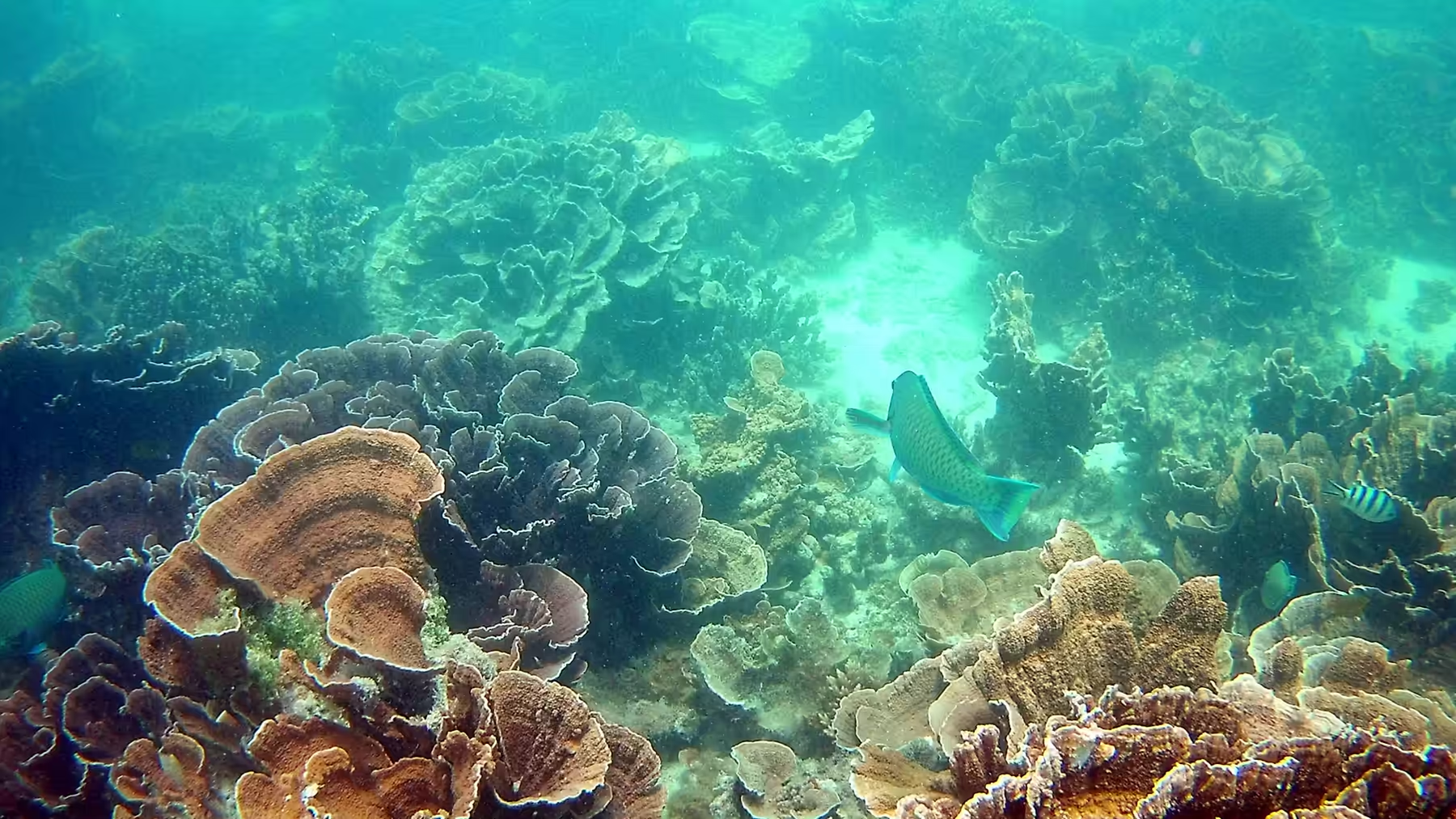
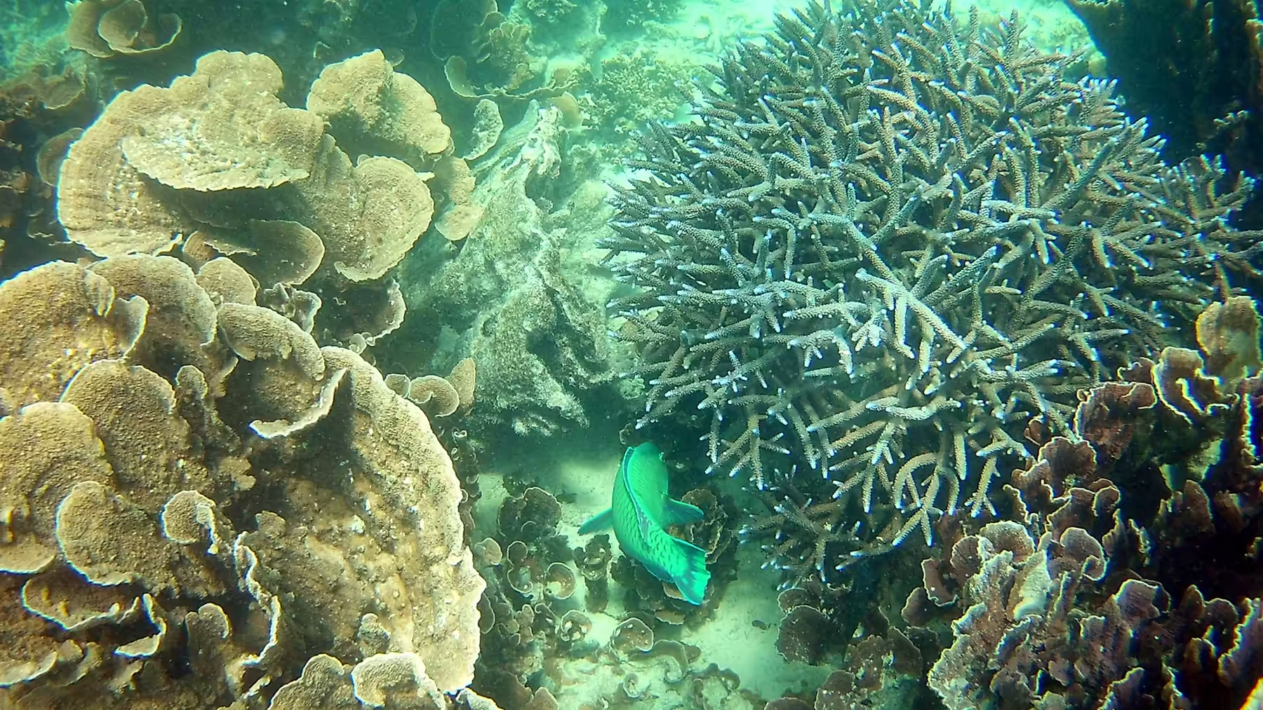
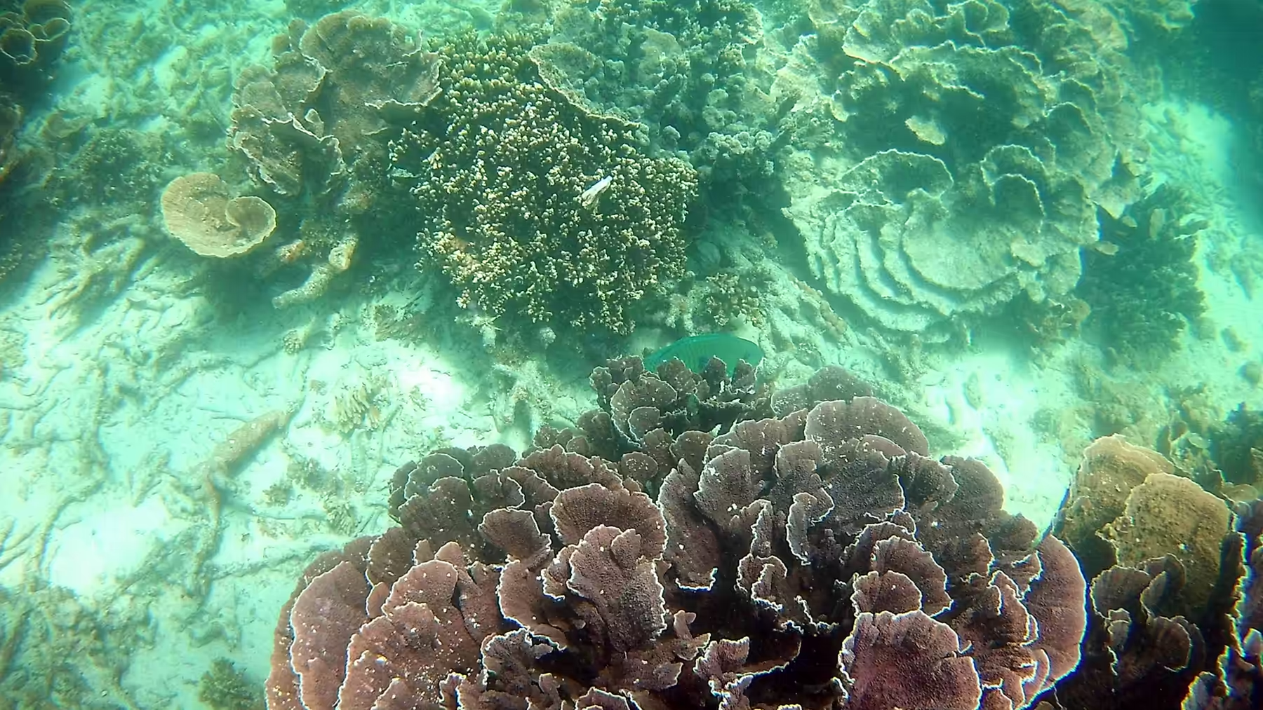
The water here is different from the lagoon in front of the settlement. The waves roll in across a wide flat beach, translucent green and gentle, and the reef begins further from the shore but in deeper and clearer water. The coral grows in stacked shelves and leafy tiers, blue-green fish dart around the rounded heads, and the sandy channels between the patches glow turquoise in the sun. It is the same reef system as at Coral Bay, seen from a different angle.
Late in the afternoon the wind dropped, which is unusual on this coast, and the shallows went glassy. The light came through the water as shafts, the fish scattered over the sand, and the beach was close to empty. This is the hour that people who have travelled a long way to be here talk about afterwards, and it cannot be arranged, only waited for.
Camping in the national park is a different exercise from camping on a station or beside the highway. Sites have to be booked, they have a defined number of places, they have toilets and no water, and they fill up in the season with a mixture of local families, interstate travellers and European visitors who have come a long way for the reef. The atmosphere in the evening, with campfires banned and everyone eating by lamplight before an early night, is calm and oddly companionable, and the sky above the tents on a clear night is the best entertainment the park offers.
History
The National Park on Cape Range protects the western side of the peninsula, its gorges, its beaches and its limestone plateau, and it exists in its present form because the state began setting the land aside in the 1960s and kept adding to it. Access is deliberately limited: the main road down the middle of the park is sealed and short, the beaches are reached by graded tracks, camping is confined to a handful of sites, and everything else is managed through the permits and closures that a park of this profile requires.
The wartime history of the cape belongs to the water on the other side. Exmouth Gulf was used as a forward submarine base from 1942, when the Allied position in the south west Pacific had collapsed and a base was needed on the west coast. Fuel tanks, a slipway and a depot were built at the gulf, obsolete submarines were stationed there, and the base supported the boats that operated against Japanese shipping in the Dutch East Indies. The airstrip at Learmonth, the jetty on the gulf and the cemetery at the old site are what remain of that period, and the modern naval station up the coast continues the association.
The light on the headland is the other landmark of the day. The lighthouse at Vlamingh Head stands on a hill above the northern end of the park, and its white tower can be seen from the plain for many kilometres. It was built in the early twentieth century to guide shipping through the passage between the cape and the islands, and it is one of the reasons the cape was surveyed and settled at all: the coast here is dangerous, the currents are strong and the reef lies close to the route. The lighthouse is automated now, like the ones on Rottnest, and the views from beside it take in the reef, the gulf and the whole peninsula.
The park is managed for visitors in numbers that would have been unimaginable when it was created. Around two hundred thousand people visit the reef each year, most of them in a window of a few months, and the management tools are the familiar ones: capped camping numbers, booked entry, sanctuary zones that exclude fishing, moorings instead of anchors, and rangers on the beaches in the season. The parks service also runs the volunteer and research programmes that monitor the reef, and the combination of regulation and study is what keeps a place that is easy to reach from being loved to death.
Geology
The cliffs of the western side of the cape are made of limestone, and the layers in them record the history the range has been through. The rock was deposited in a shallow sea, it contains the remains of corals, shells and other marine organisms, and it was lifted above sea level by the movements that built the peninsula. Walking along the base of a cliff here means walking past a record of former sea floors, one layer above another, with harder beds standing out as ledges and softer ones eroded into overhangs.
The gorges cut into the same rock are the work of water, and their form depends on the joints and faults that run through the limestone. Water enters the plateau through the porous rock, moves along the joints and emerges at the cliff line, and where it has been doing that for long enough it has cut a canyon. Yardie Creek is the best known, because it holds water in its lower reaches and can be visited without equipment, but there are others further south that are accessible only on foot.
The porous limestone also stores water, which is why the park has vegetation and the peninsula has a town. Rain that falls on the plateau sinks into the rock and moves slowly through it toward the sea, and the lenses of fresh water that float on top of the salt water below the surface are the resource the whole cape depends on. The water is extracted from bores, it is limited in quantity, and the fact that the towns here have been able to grow at all is due to a supply that falls on a desert and is stored by a rock.
The wider setting of the cape is a submarine landscape. The continental shelf on this side of Australia is narrow, so that the water deepens quickly beyond the reef, and the islands offshore are the tops of drowned hills. The Muiron Islands rise from a shelf that was dry land when the sea level was lower, the channel between them and the cape is a drowned valley, and the whole of the coast is a recent feature in geological terms, shaped by the sea level changes of the last hundred thousand years.
The sand on these beaches is a mixture that changes colour through the day. It is carbonate from the reef, quartz from the interior and iron oxide from the red country behind, and the proportions vary from beach to beach, which is why some of them are bright white and others have a pink or orange cast. The grains are coarse enough to stay put in a swell and fine enough to squeak under a bare foot, and the dunes behind them are the same material piled by the wind and fixed by spinifex. On a windy afternoon the surface of a dune moves in visible ripples, which is the same process that built the limestone of the range in the first place, running in front of a pair of eyes.
Things to See
Yardie Creek is the first stop on most itineraries and it needs to be timed. The creek crosses the road at the southern end of the park, and a short walk along its bank leads to a gorge with water in it, where black wallabies come out on the cliffs in the late afternoon. Below the crossing the creek runs out to the sea, and the beach at its mouth is a good place for a swim while the light lasts.
Turquoise Bay and the other beaches along the park road are the reason most visitors come, and each has its own character. Turquoise Bay has a drift snorkel that carries a swimmer along the reef with the current; Oyster Stacks is shallow and rocky and can only be snorkelled at high tide; Lakeside and the northern beaches are quieter and better for children. All of them have sand, shade if you bring it, and a reef a short swim from the shore.
The gorges in the interior of the park are for the hours when the coast is too hot or too windy. The road up to Charles Knife and the track to Mandu Mandu lead to lookouts over the canyons and to walks along the rims, and the views take in the plateau, the gorges and the coastal plain all at once. The walks are short and the exposure is total: no shade, no water and no shelter, and the advice to carry both water and a hat is not optional in summer.
The practicalities of the park are worth knowing before the day begins. Entry is charged at the gate, camping must be booked in advance and fills up in the season, water is available at only a few points and should be carried, and the tracks are sandy enough to be soft in the heat of the day. The nearest fuel and supplies are in Exmouth, twenty to sixty kilometres away depending on where the day is spent, and the tide is the single most useful piece of information available. Get it right and the park is one of the best places in the country; get it wrong and the day is spent in a hot car looking at turquoise water through a window.
The northern end of the park is the part most people miss, and it rewards the drive. The road up to the lighthouse at Vlamingh Head passes a wartime memorial and a lookout over the reef, and the track along the cliff line beyond it reaches beaches that have no facilities at all and are empty even in the season. The view north from the lighthouse takes in the gulf, the shipping lane and the low scrub of the cape, and the sunset from the same spot, with the light going down behind the reef, is the best free entertainment in the district. It needs a vehicle, a full tank and an hour, and it is worth all three.
Anyone with a few days here should use them on a rotation between three places. The beaches of the national park for the mornings, when the water is clearest and the wind is light; the gorges and the plateau for the middle of the day, when the shade in a canyon is the only cool place on the peninsula; and the lagoon at Exmouth or Coral Bay for the late afternoon, when the tide and the light are at their best. A week spent in that rotation, with a mask and a pair of fins, is the most rewarding way to see the Ningaloo coast, and it explains why people who find this place once tend to come back.
References
- Wikipedia contributors (2026). Coral Bay, Western Australia. en.wikipedia.org/wiki/Coral%20Bay%2C%20Western%20Australia
- Wikipedia contributors (2026). Ningaloo Coast. en.wikipedia.org/wiki/Ningaloo%20Coast
- Wikipedia contributors (2026). Ningaloo Reef. en.wikipedia.org/wiki/Ningaloo%20Reef
- Wikipedia contributors (2026). Ningaloo. en.wikipedia.org/wiki/Ningaloo
- Wikipedia contributors (2026). Ningaloo Marine Park (Commonwealth waters). en.wikipedia.org/wiki/Ningaloo%20Marine%20Park%20%28Commonwealth%20waters%29
- Wikipedia contributors (2026). Cape Range National Park. en.wikipedia.org/wiki/Cape%20Range%20National%20Park
- Wikipedia contributors (2026). Exmouth, Western Australia. en.wikipedia.org/wiki/Exmouth%2C%20Western%20Australia
- Wikipedia contributors (2026). Whale shark. en.wikipedia.org/wiki/Whale%20shark
- Wikipedia contributors (2026). Dugong. en.wikipedia.org/wiki/Dugong
- Wikipedia contributors (2026). Exmouth Gulf. en.wikipedia.org/wiki/Exmouth%20Gulf
- Wikipedia contributors (2026). North West Cape. en.wikipedia.org/wiki/North%20West%20Cape
- Duffy S., Layton R., Dwyer L. (2018) Whale shark tourism at Ningaloo Reef. Coral Reefs: Tourism, Conservation and Management. 119-134. doi.org/10.4324/9781315537320-9
- Duffy S., Layton R.A. (2017) Whale sharks, Ningaloo Reef, Western Australia. Social Marketing. 509-524. doi.org/10.4324/9781315648590-30
- (ohne Angabe) (2022) Australia, Western Australia, Gascoyne Region, Indian Ocean Coast. Journal of Coastal Research. 100. doi.org/10.2112/jcr-si100-coralreef-018.1