Day 18 - Meekatharra














Journal Notes
General
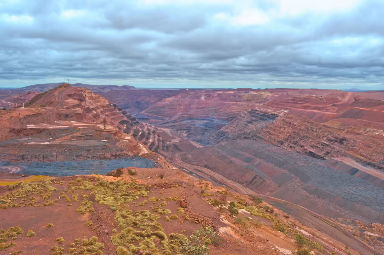
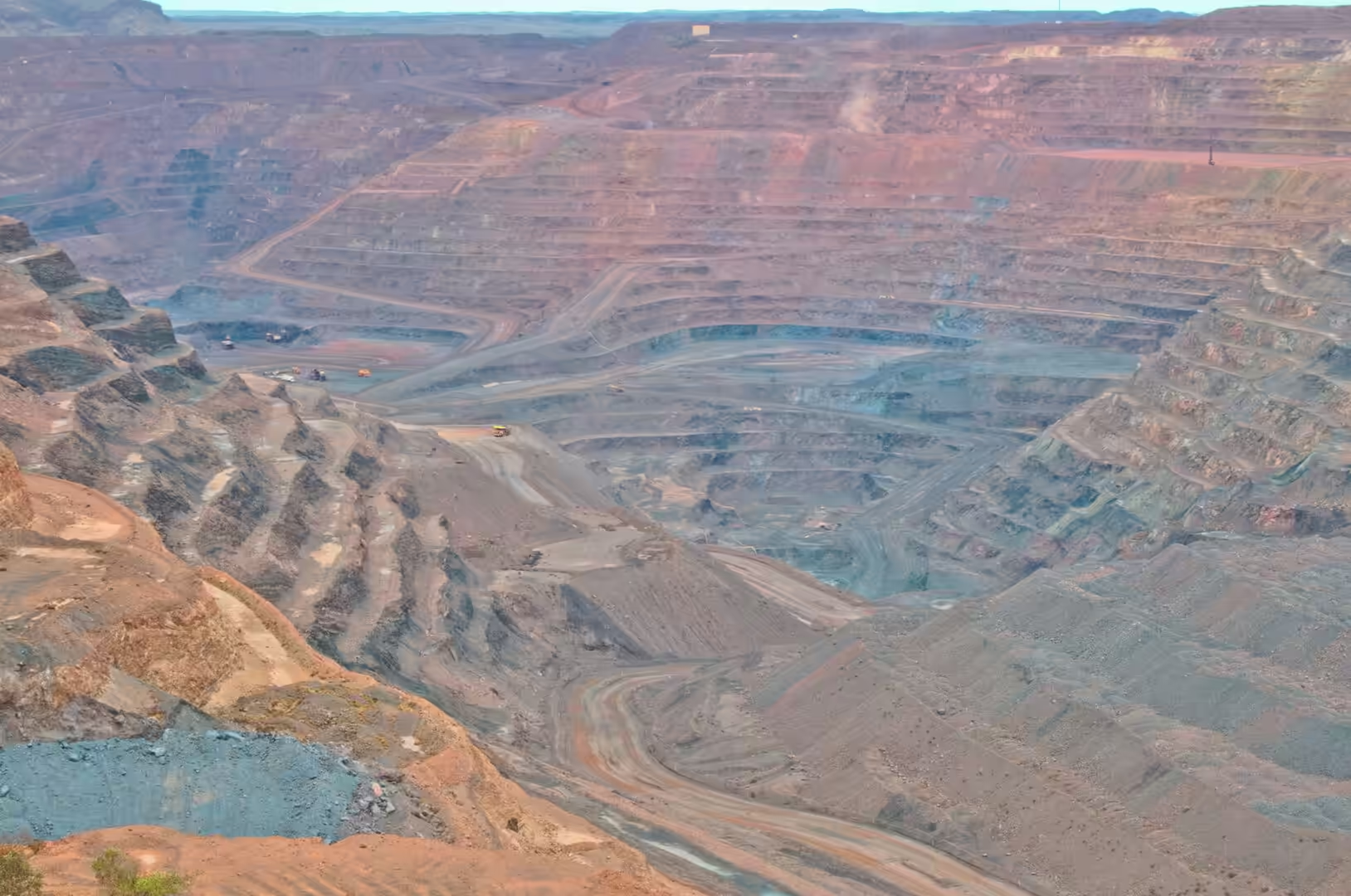
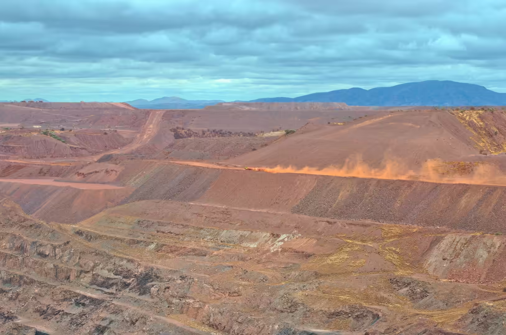
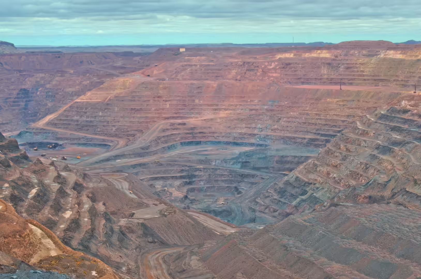
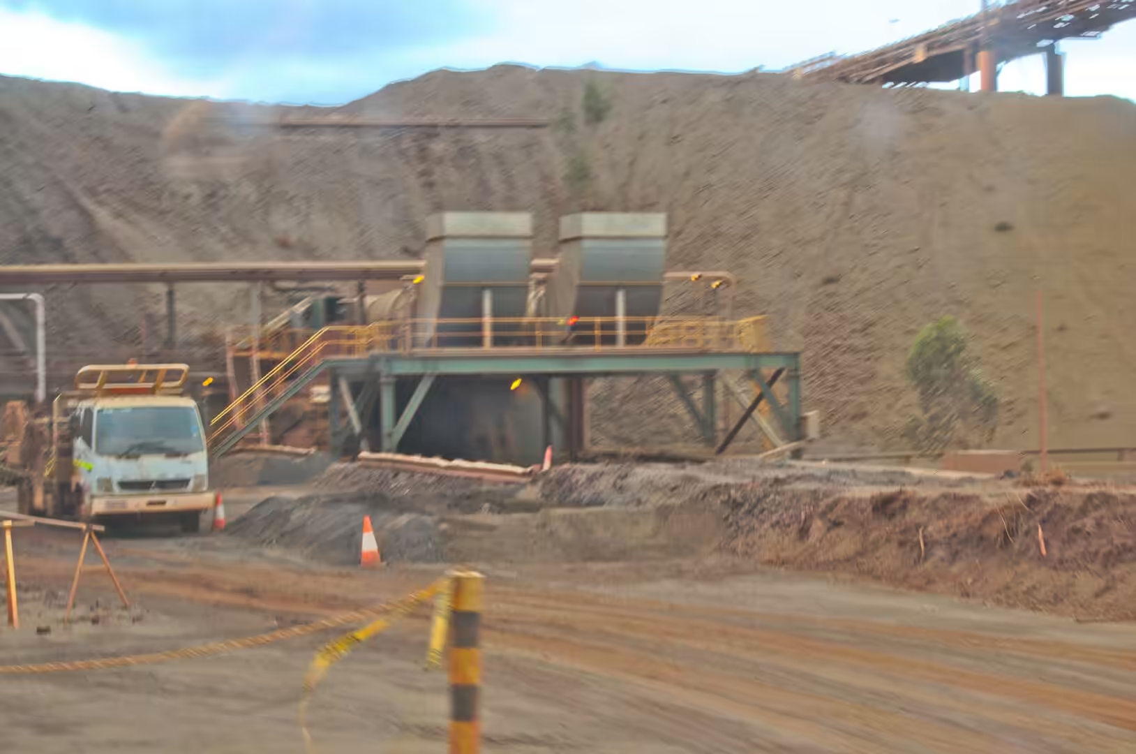
The eighteenth day began with an industrial tour and ended on the road south. The morning was spent at the iron ore mine west of Newman, where the visitor is taken to a lookout above the pit and shown the scale of an operation that has been running for sixty years. Haul trucks the size of a small house carry ore up the terraced walls, a spiral of haul roads winds down into the pit, and the dust from a single truck trails across the benches below.
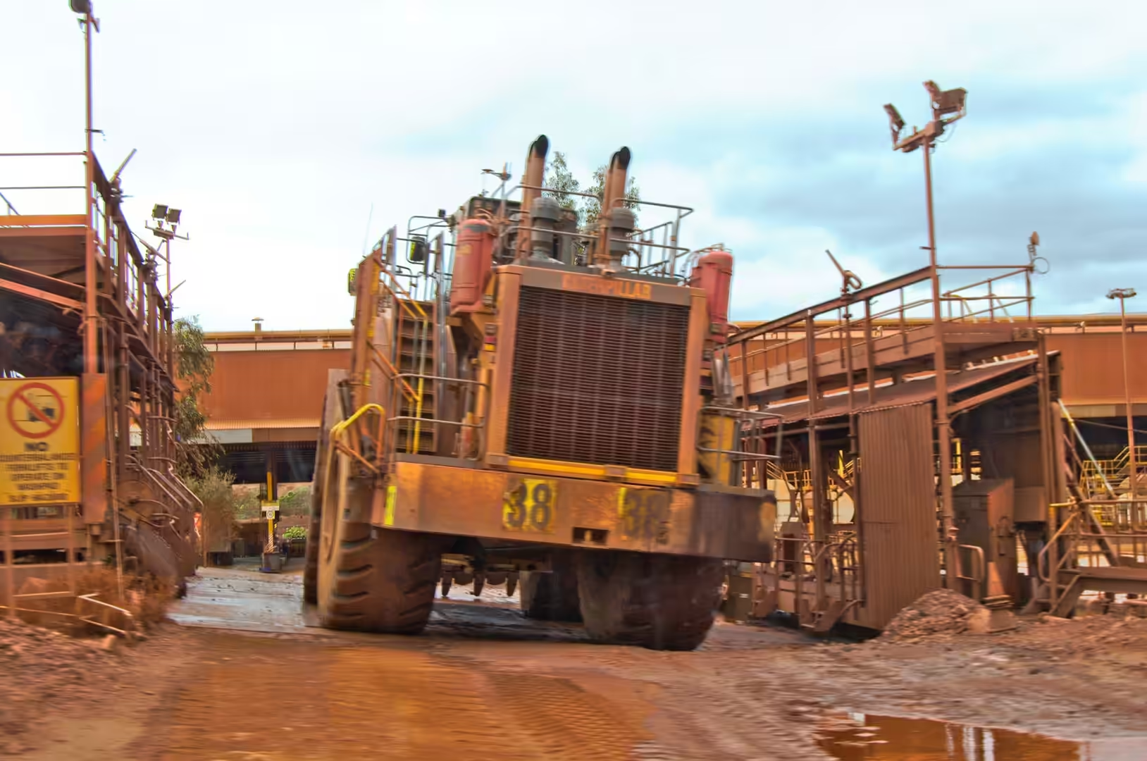
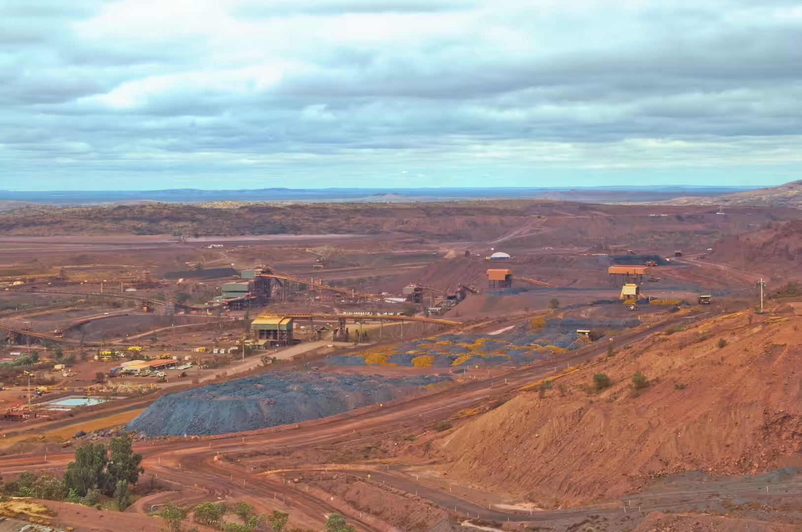
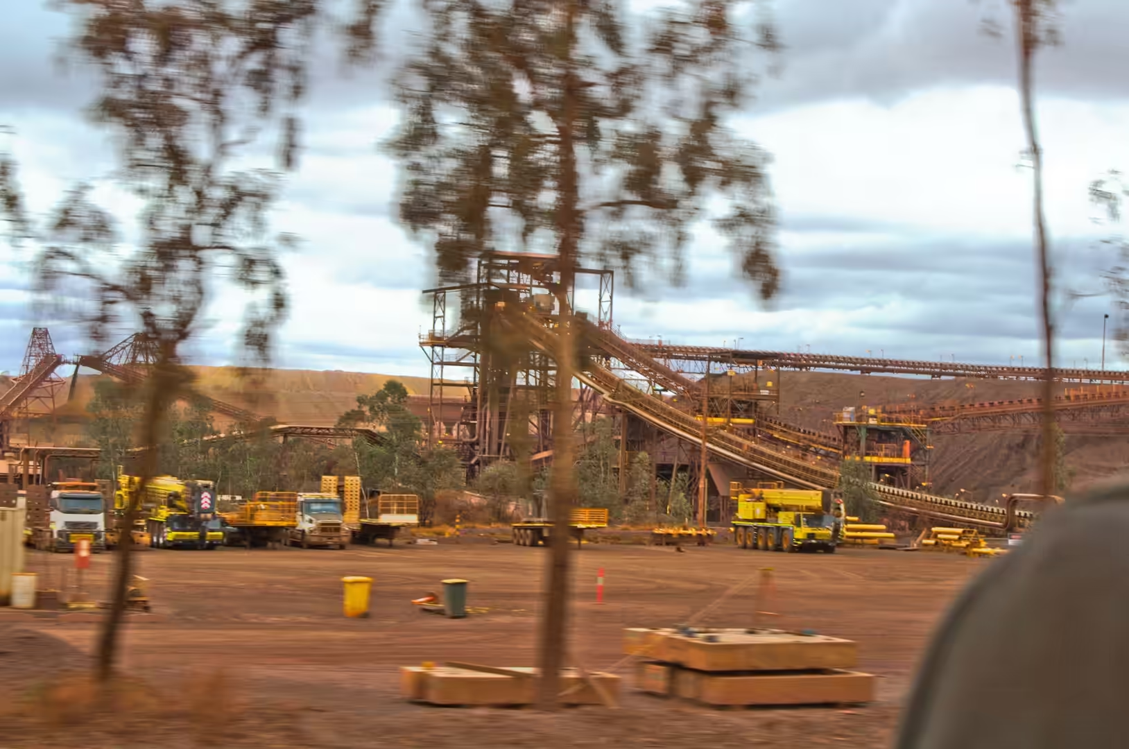
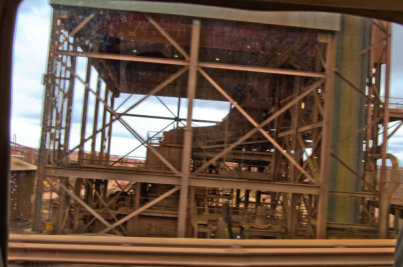
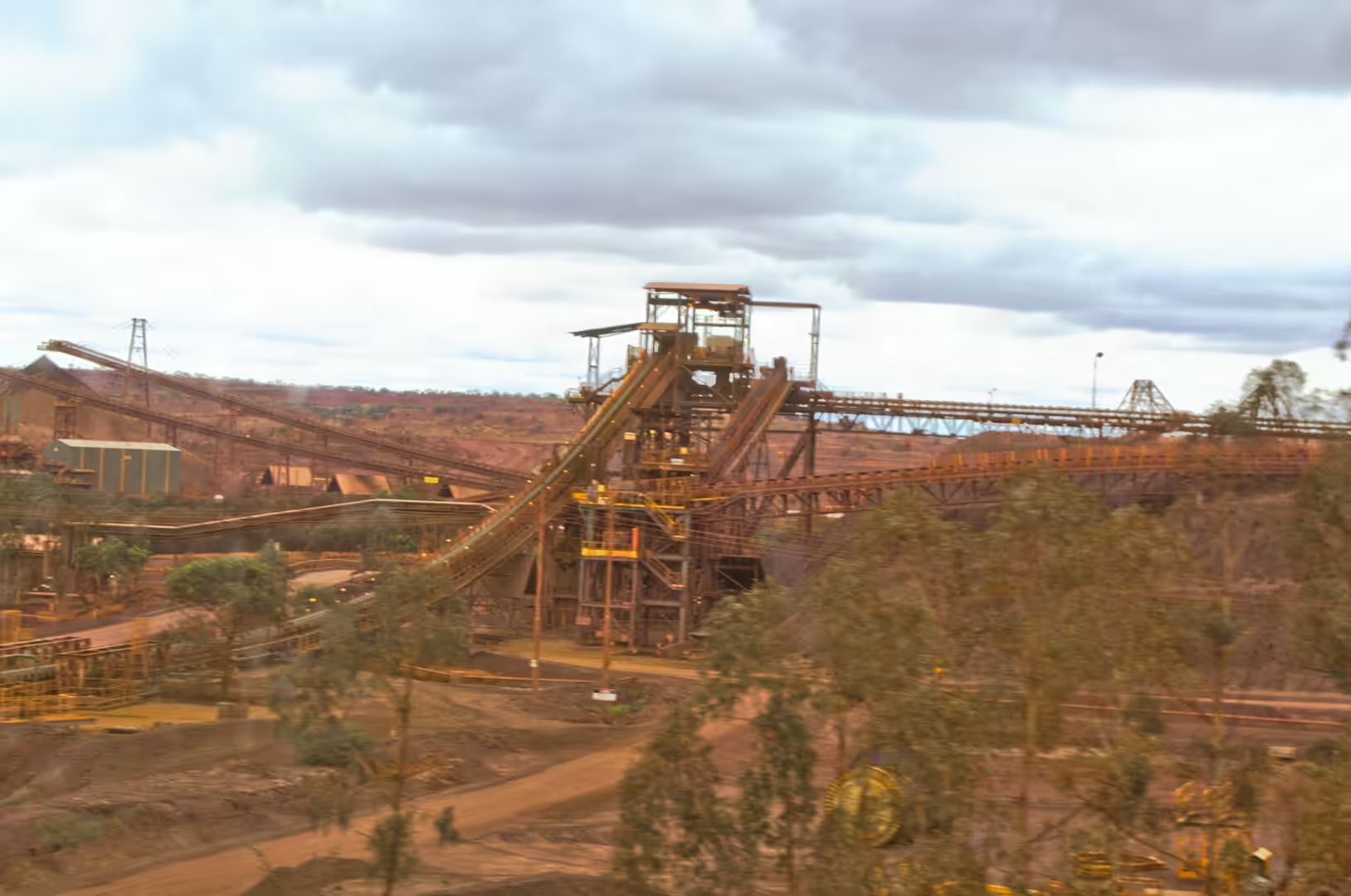
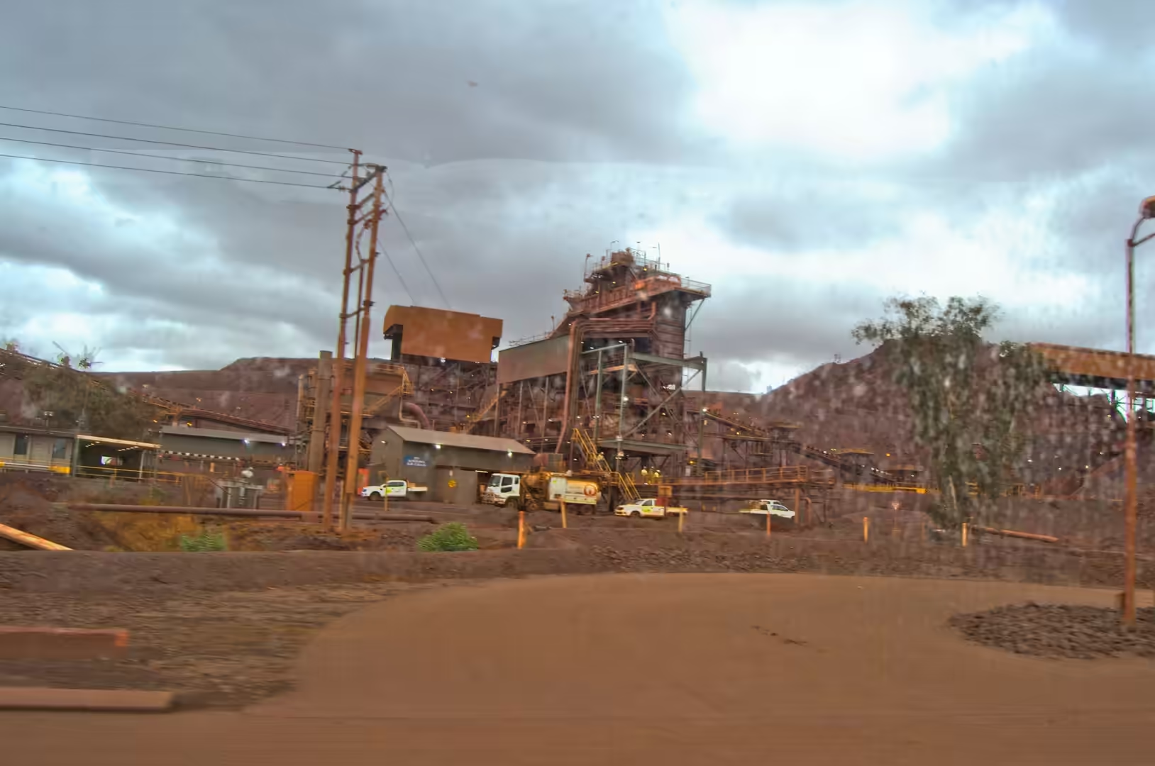
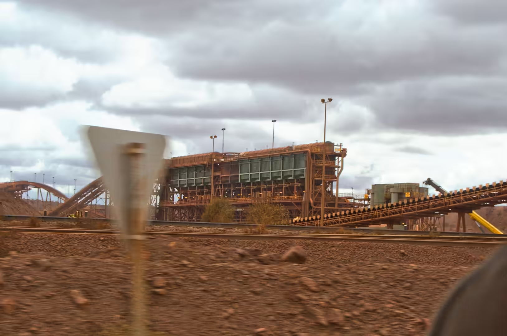
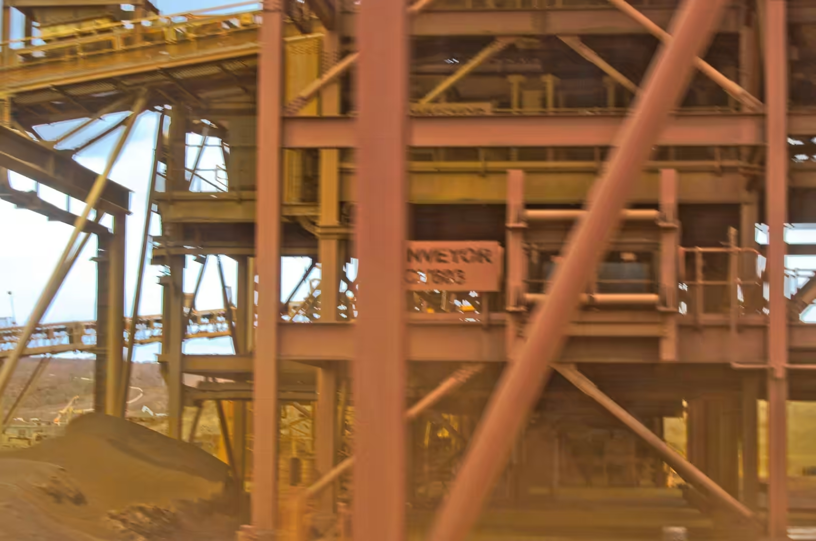
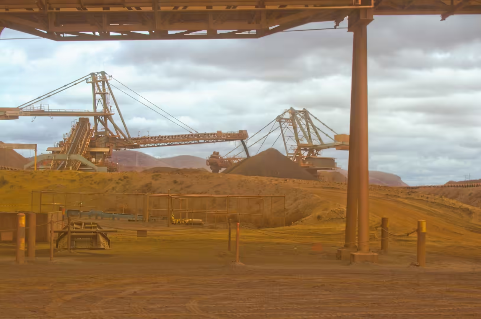
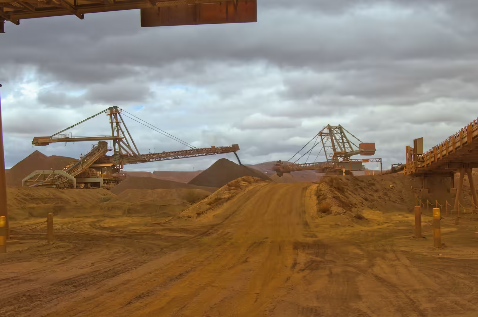
The pit is deeper than it looks from the rim, and the terraces make the depth readable. Each bench is the height the drilling and blasting has advanced, and the sequence of them down to the blue-grey water at the bottom is a calendar of the mine’s life. Conveyors carry the ore from the stockpiles to the processing plant, the plant crushes and screens it into the sizes the steel mills buy, and the ore trains that leave on the railway run a thousand kilometres to the port.
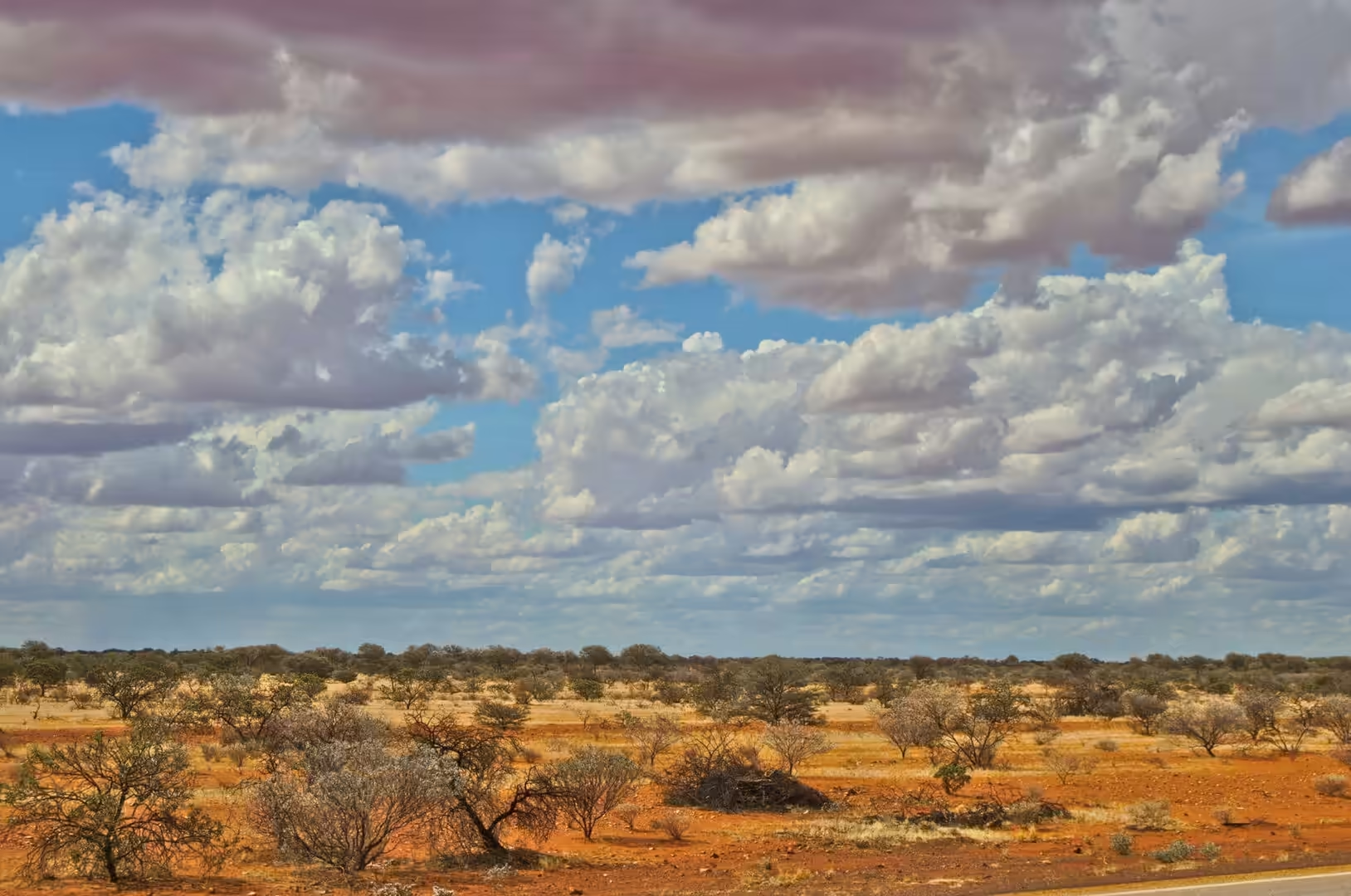
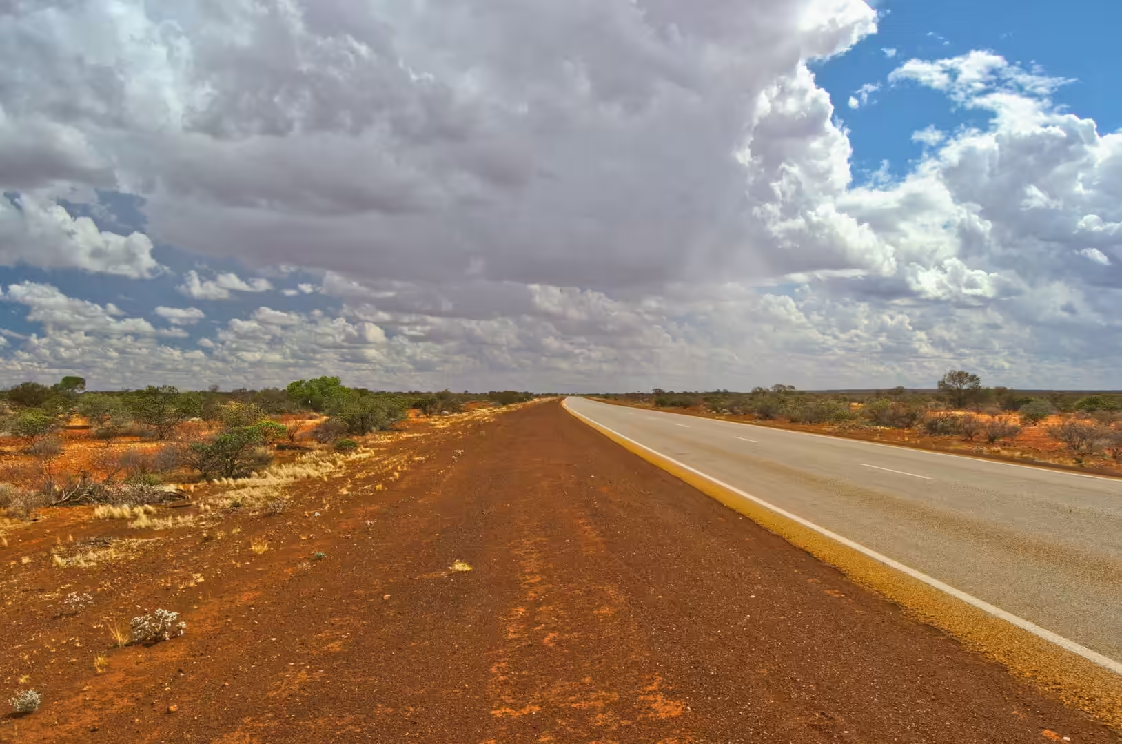
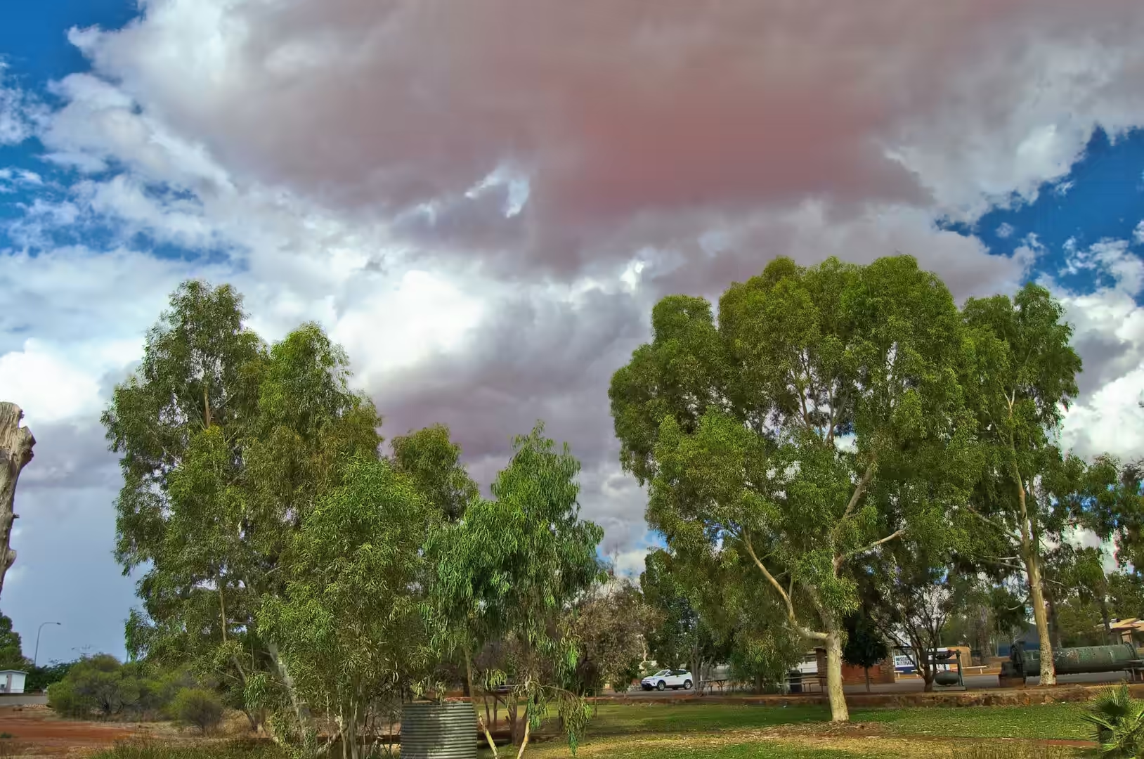
The afternoon was spent driving south toward Meekatharra, and the country changed again. The ranges of the Hamersley Basin sank below the horizon, the plain became wider and emptier, and the country turned into goldfields rather than iron country: low hills, salt lakes, mulga and the long straight road. The camp for the night was in a town that has been a supply centre for this country for more than a century.
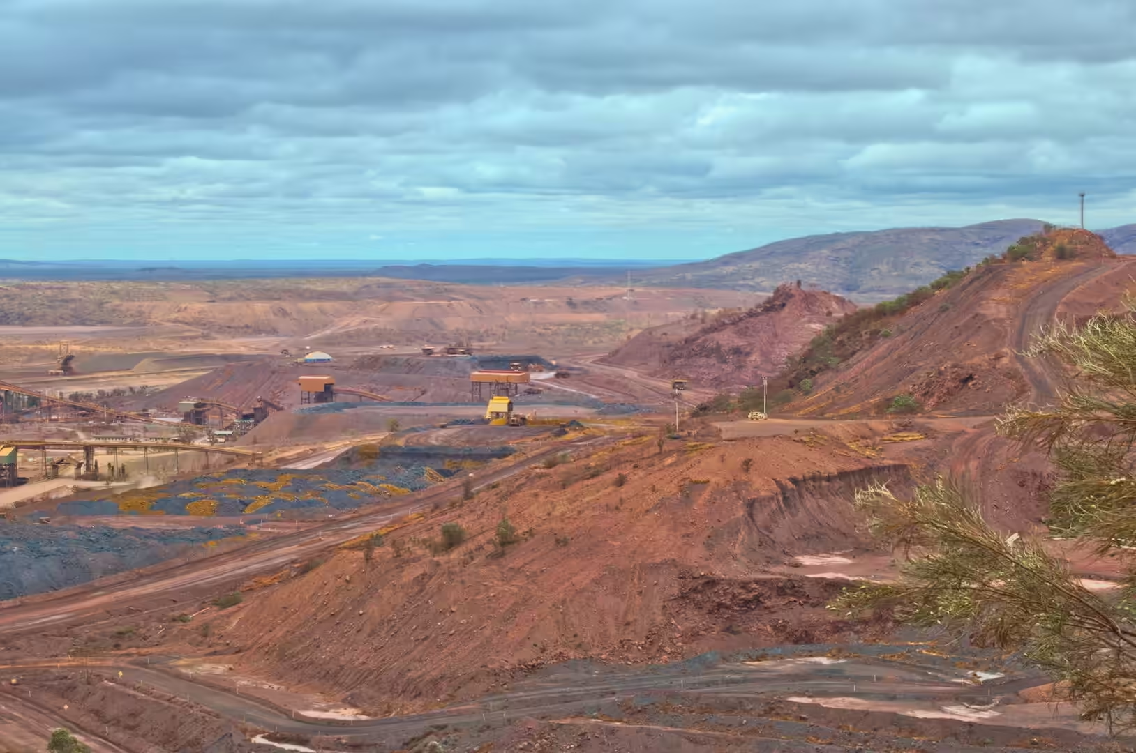
The industrial landscape of the Pilbara is as distinctive as its natural one, and the day makes the point. Stockpiles and conveyors, workshops and fuel depots, the long lines of the railway and the pylons of the power line that feeds the mine all sit in the same red country as the mesas and the spinifex, and the engineering is on the same scale as the geology. A visitor who expected an unspoilt wilderness will not find it here; a visitor who wants to see how a modern mining province works will find one of the most instructive places on the planet.
History
The mine west of Newman is officially the Newman West operation and its deposit is one of the largest iron ore bodies in the world. It is majority owned and operated by BHP, one of five mines the company runs in the Pilbara, and the infrastructure that serves it belongs to the same company: two port facilities at Port Hedland, more than a thousand kilometres of private railway, and the processing plants and workshops that keep the system running. The scale of the operation is the reason the town exists, and the reason the road carries the traffic that it does.
The mining company that opened the deposit was a joint venture of Australian, American and Japanese interests, and the arrangement was typical of the era. Iron ore was exported from the Pilbara to the steel mills of Japan, the capital and the contracts came from the same partners, and the towns and railways were built as part of the deal. The ownership has changed several times since, and the destination of the ore has broadened to China and Korea, but the structure of the industry is the same as it was in the 1960s: a long supply line from the pit to a port on the other side of the continent’s interior.
Meekatharra, at the end of the day’s drive, has a different history. Its name is a Yamatji word meaning place of little water, which is an accurate description of the country it stands in, and it has been a supply centre for the pastoral and mining districts of the Murchison since the gold rushes of the 1890s. It shipped wool and cattle by rail for most of the twentieth century, it still serves the stations and the mines with fuel, food and machinery, and it is the base for the Royal Flying Doctor Service and the School of the Air, which between them provide the medical and educational services that a scattered population cannot otherwise have.
The town’s population is a few hundred people, about a third of them of Aboriginal descent, and that mix is the social history of the inland in one figure. The gold rushes brought miners from everywhere, the stations brought pastoral workers, the missions and the government brought their own arrangements, and the Aboriginal families of the region have been part of the workforce and the community throughout while being excluded from much of its wealth. The town is small, and the relationships in it are the relationships of a place where everyone knows everyone, for better and worse.
The infrastructure that the mines built has outlasted the companies that built it. The private railways are still in use, the towns are still occupied, and the ports on the coast have grown into the largest bulk export facilities in the country. The economic geography of the state was decided in those years: the south west has the population and the services, the north west has the resources, and the two are connected by a handful of railways and one long highway. Driving south from the Pilbara, with the ore trains alongside the road and the cattle grid under the wheels, is a way of seeing that arrangement from the inside.
Geology
The ore body at Mount Whaleback is a banded iron formation that has been enriched. The original rock, laid down on a sea floor two and a half billion years ago, contained perhaps thirty per cent iron; the ore that the mine ships contains much more, because billions of years of groundwater movement and weathering have dissolved out the silica and left the iron oxides behind. The enrichment happened in episodes, it is concentrated along structures and unconformities, and understanding it is the work of a specialist branch of economic geology.
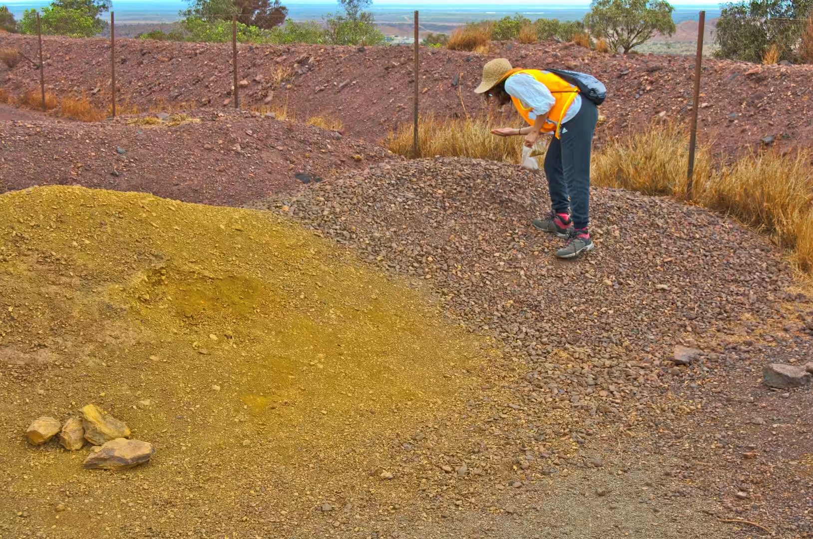
The pit is a cross section through that history and through the mining method. The benches follow the ore body, the haul roads spiral down its edge, and the different colours of the walls, red, ochre, blue-grey and black, mark different minerals: hematite in the blue-grey masses, goethite in the ochre, magnetite in the darker bands, and shale and chert in the waste rock. The processing plant behind the pit separates the ore from the waste by crushing, screening and blending, and the grades are adjusted to the specification of the customer.
The water at the bottom of the pit is a reminder that a mine is also a hole in an aquifer. The water that collects there is groundwater that the excavation has intercepted, and the pumps that keep the pit dry run continuously, because a flooded bench stops the operation. The same groundwater is the water that the town drinks and the plants are watered with, and the balance between the two uses is one of the management problems of the district.
Inland of the mine the country changes into the goldfields of the Murchison, and the geology changes with it. The greenstone belts of the Yilgarn Craton, which extend north into this region, are the rocks that carry gold, and they have been worked since the 1890s at Meekatharra, Cue, Wiluna and a hundred smaller places. The same greenstones are the reason the country is covered in old shafts and mullock heaps, and the reason the modern mines are still working the ground that the prospectors pegged a century ago. Iron in the north, gold in the south, and the same few billion years of geology underneath both.
Things to See
The mine tour is the attraction of the morning and it needs to be arranged in advance. Visitors are taken by bus to a lookout above the pit, briefed on the safety rules, and shown the sequence of the operation from the blast to the train, with a stop at a viewing point where a haul truck passes at close range. The size of the machinery is the thing that stays with people: a tyre taller than a person, a bucket that holds a hundred tonnes, and a road wide enough for two of them to pass.
The plant and the railway are visible from the road and from the town, and they are worth a look for anyone interested in engineering. The ore trains that leave for the coast are among the longest in the world, and watching one pass at a level crossing takes minutes rather than seconds. The stockpiles and the conveyors, the workshops and the fuel depots that serve them, make up a landscape of their own beside the natural one, and the boundary between the two is a fence.
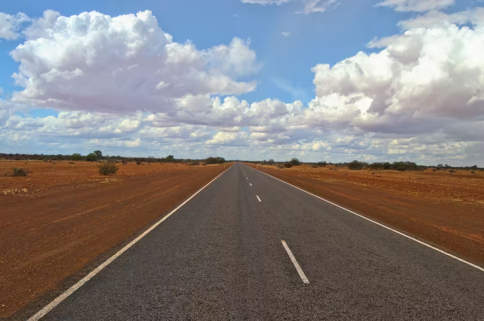
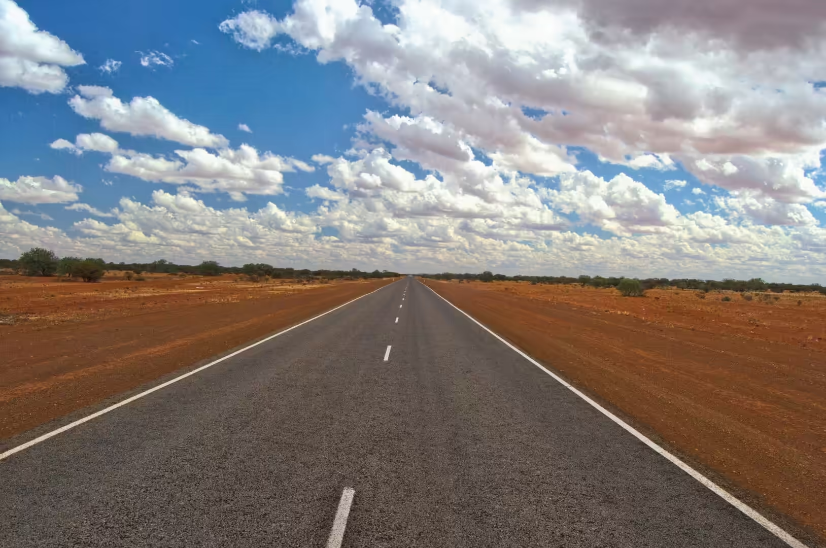
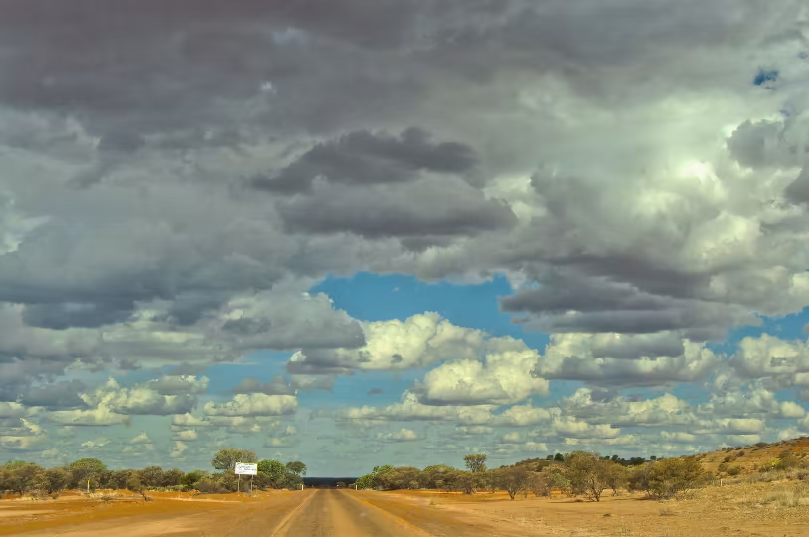
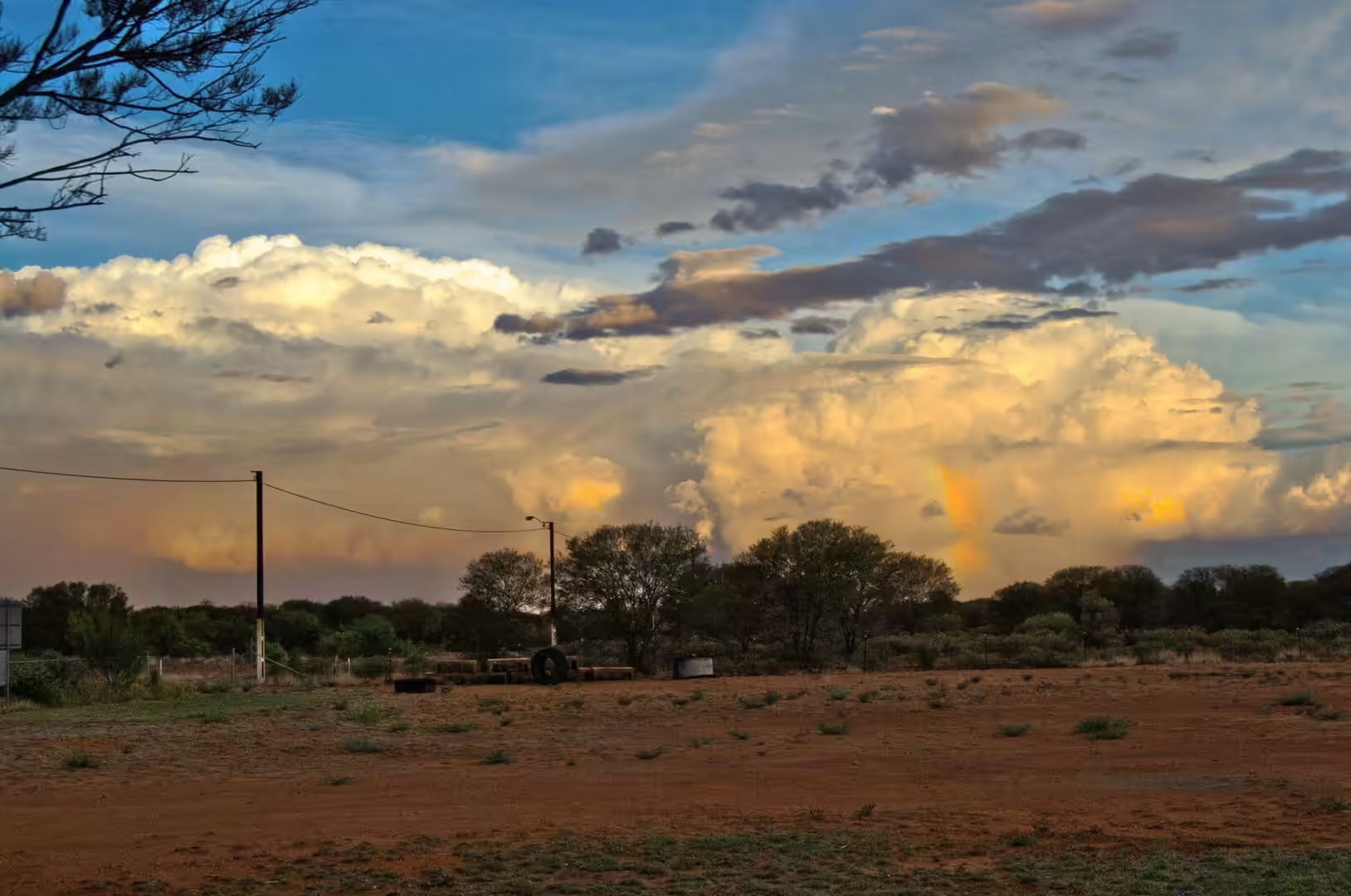
The drive south to Meekatharra is long, straight and empty. The road crosses the Tropic of Capricorn again, passes the turn for Wiluna and the old gold towns, and runs beside salt lakes and through mulga scrub. The fuel stops are spaced at the limits of a vehicle’s range, the signs warn about cattle and kangaroos, and the country is beautiful in the way that emptiness is beautiful when the light is low and the sky is enormous.
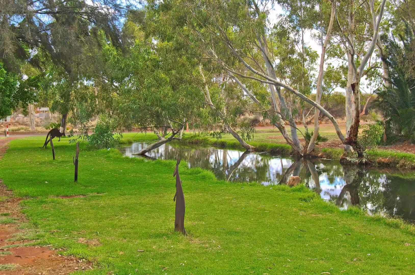
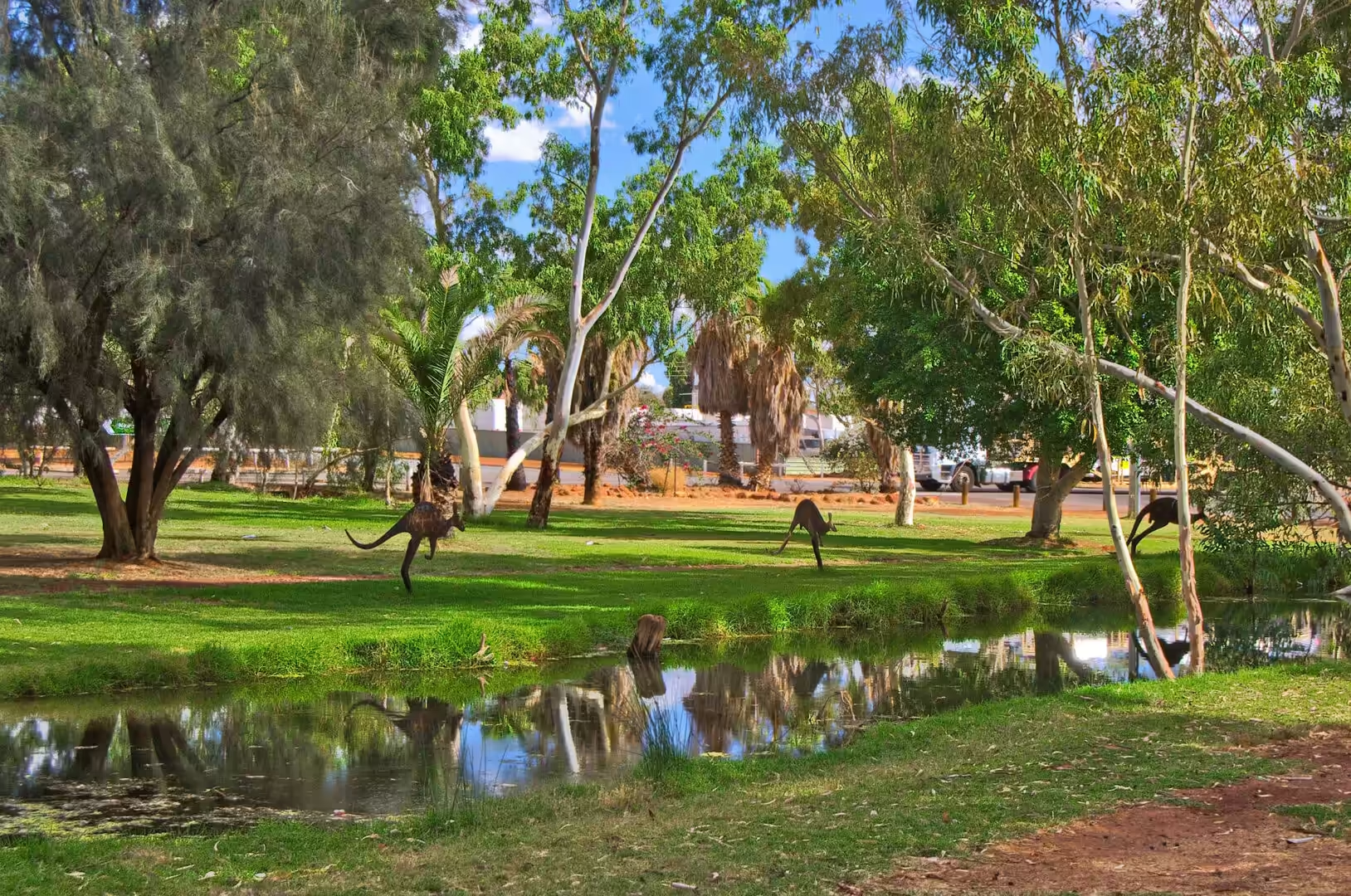
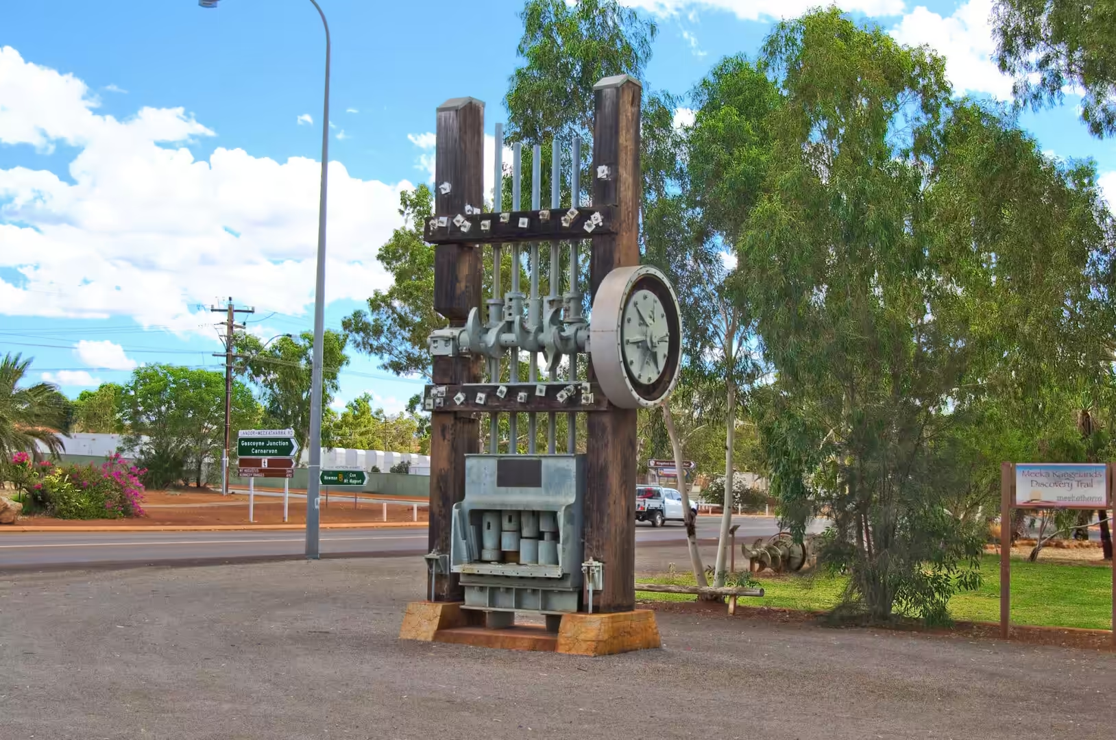
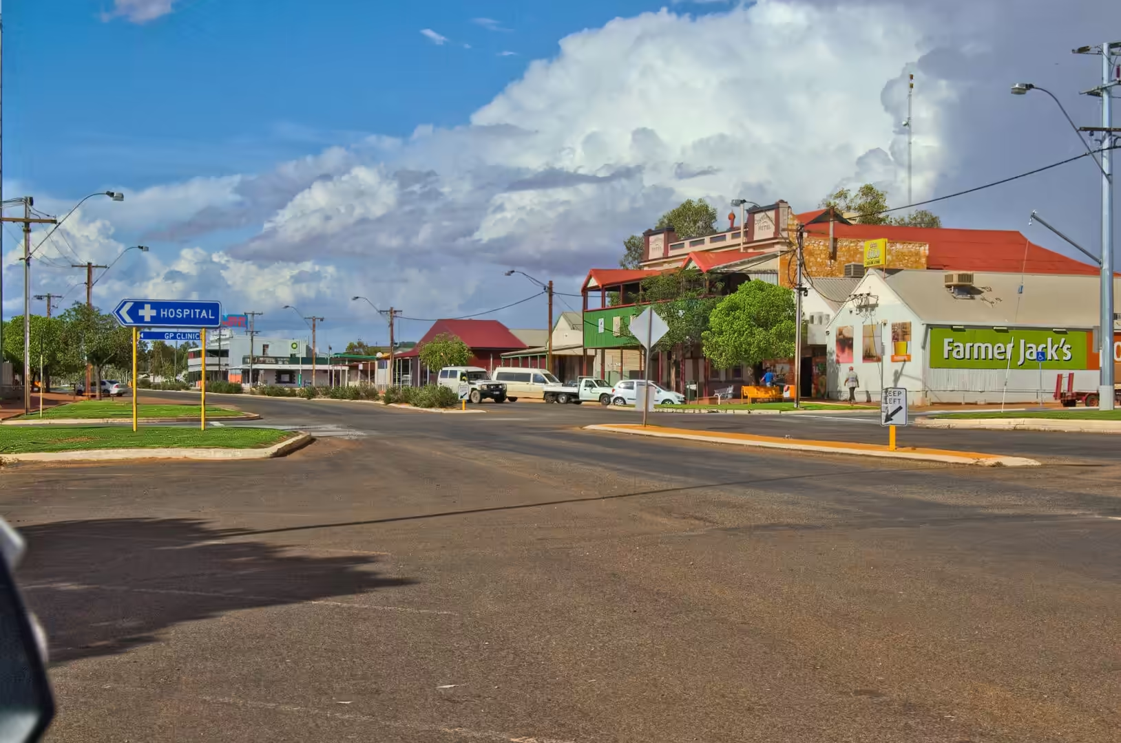
Meekatharra itself is a working town with the services a traveller needs: fuel, food, a motel and a caravan park, a hospital with the flying doctor base beside it, and a shop that stocks the kind of equipment that stations and prospectors buy. It is also a place with a story to tell, and the visitor who takes the time to read the signs in the main street and talk to the people behind the counter will learn more about the inland than any book can offer. For the traveller heading south, it is the last substantial settlement before the wheatbelt, and for the traveller heading north, the first.
Anyone with a spare afternoon in this country should spend it on the road between Meekatharra and the old gold towns. The drive to Cue and on to the ghost towns of the Murchison passes shafts, mullock heaps, ruined stone buildings and the great open cuts of the modern mines, and the distances are short compared with everything further north. The graveyards tell the story of the gold rushes more directly than any museum, and the hotel at Cue, which has been serving travellers since the 1890s, is worth a stop for the ceiling alone.
Fuel and supplies in this country follow a simple map. Newman and Meekatharra both have fuel, food and a caravan park; between them the roadhouses are spaced at the limits of a vehicle’s range, and a breakdown on the stretch between them is a matter of waiting rather than walking. The flying doctor base in Meekatharra exists because of exactly that arithmetic, and the signs at the airfield, with the radio frequencies and the instructions for an emergency, are as much a part of the landscape here as the termite mounds.
References
- Wikipedia contributors (2026). Meekatharra. en.wikipedia.org/wiki/Meekatharra
- Wikipedia contributors (2026). Great Northern Highway. en.wikipedia.org/wiki/Great%20Northern%20Highway
- Wikipedia contributors (2026). Peak Hill, Western Australia. en.wikipedia.org/wiki/Peak%20Hill%2C%20Western%20Australia
- Wikipedia contributors (2026). Wiluna, Western Australia. en.wikipedia.org/wiki/Wiluna%2C%20Western%20Australia
- Wikipedia contributors (2026). Cue, Western Australia. en.wikipedia.org/wiki/Cue%2C%20Western%20Australia
- Wikipedia contributors (2026). Pilbara. en.wikipedia.org/wiki/Pilbara
- Wikipedia contributors (2026). Iron ore. en.wikipedia.org/wiki/Iron%20ore
- Wikipedia contributors (2026). Great Sandy Desert. en.wikipedia.org/wiki/Great%20Sandy%20Desert
- Wikipedia contributors (2026). Martu people. en.wikipedia.org/wiki/Martu%20people
- Wikipedia contributors (2026). Western Australia. en.wikipedia.org/wiki/Western%20Australia
- Wikipedia contributors (2026). Mount Whaleback mine. en.wikipedia.org/wiki/Mount%20Whaleback%20mine
- Wikipedia contributors (2026). Newman, Western Australia. en.wikipedia.org/wiki/Newman%2C%20Western%20Australia
- A. H. F. (1908) VII.-Geological Survey, Western Australia. Bulletin No. 28: The Geology and Mineral Resources of Lawlers, Sir Samuel, and Darlot (East Murchison Goldfield), Mount Ida (North Coolgardie Goldfifld), and a Portion of the Mount Margaret Goldfield. By Chas. G. Gibson, Assistant Geologist. 8vo; pp. 73, with 3 maps and 5 mining plans. Perth, W.A. Geological Magazine. 5. 234-234. doi.org/10.1017/s0016756800122022
- Holcombe S. (2010) Sustainable Aboriginal livelihoods and the Pilbara mining boom. Indigenous Participation in Australian Economies: Historical and anthropological perspectives. doi.org/10.22459/ipae.12.2010.09
- Cousins D., Nieuwenhuysen J. (2020) Iron ore mining in the Pilbara. Aboriginals and the Mining Industry. 120-141. doi.org/10.4324/9781003114819-7