Stage 2 of 24
Day 2 - Sydney








Journal Notes
General
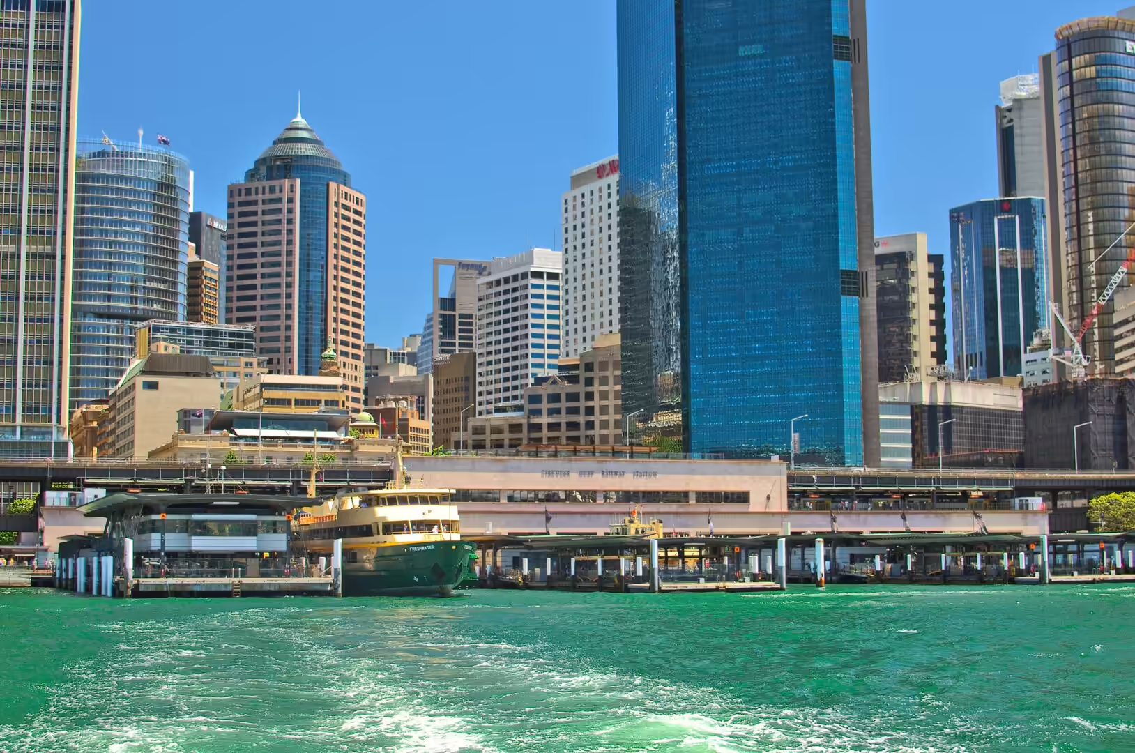
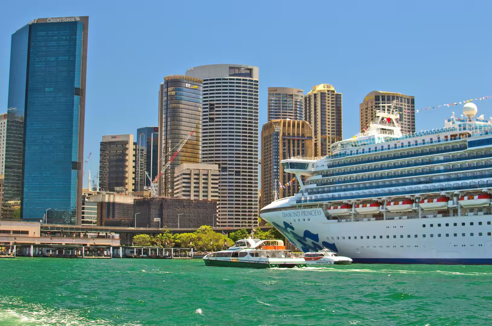
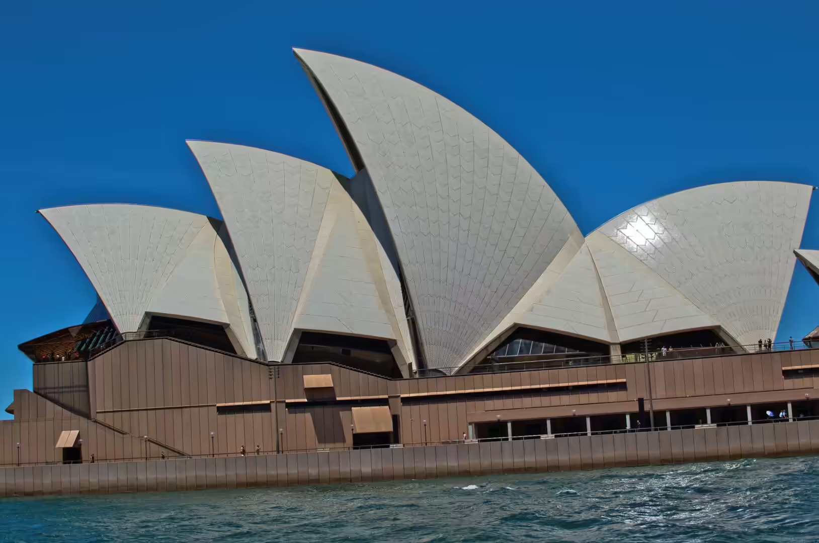
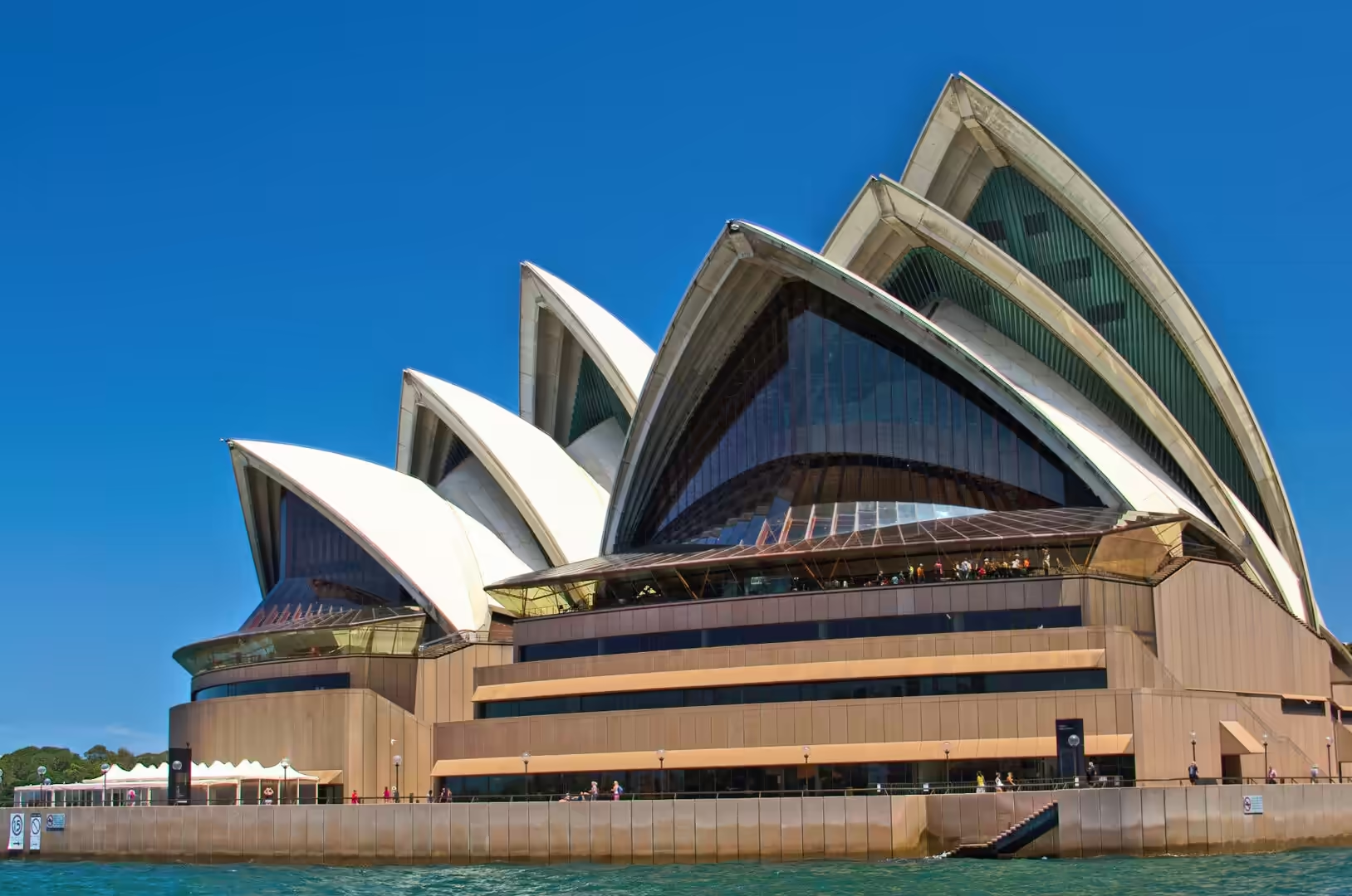
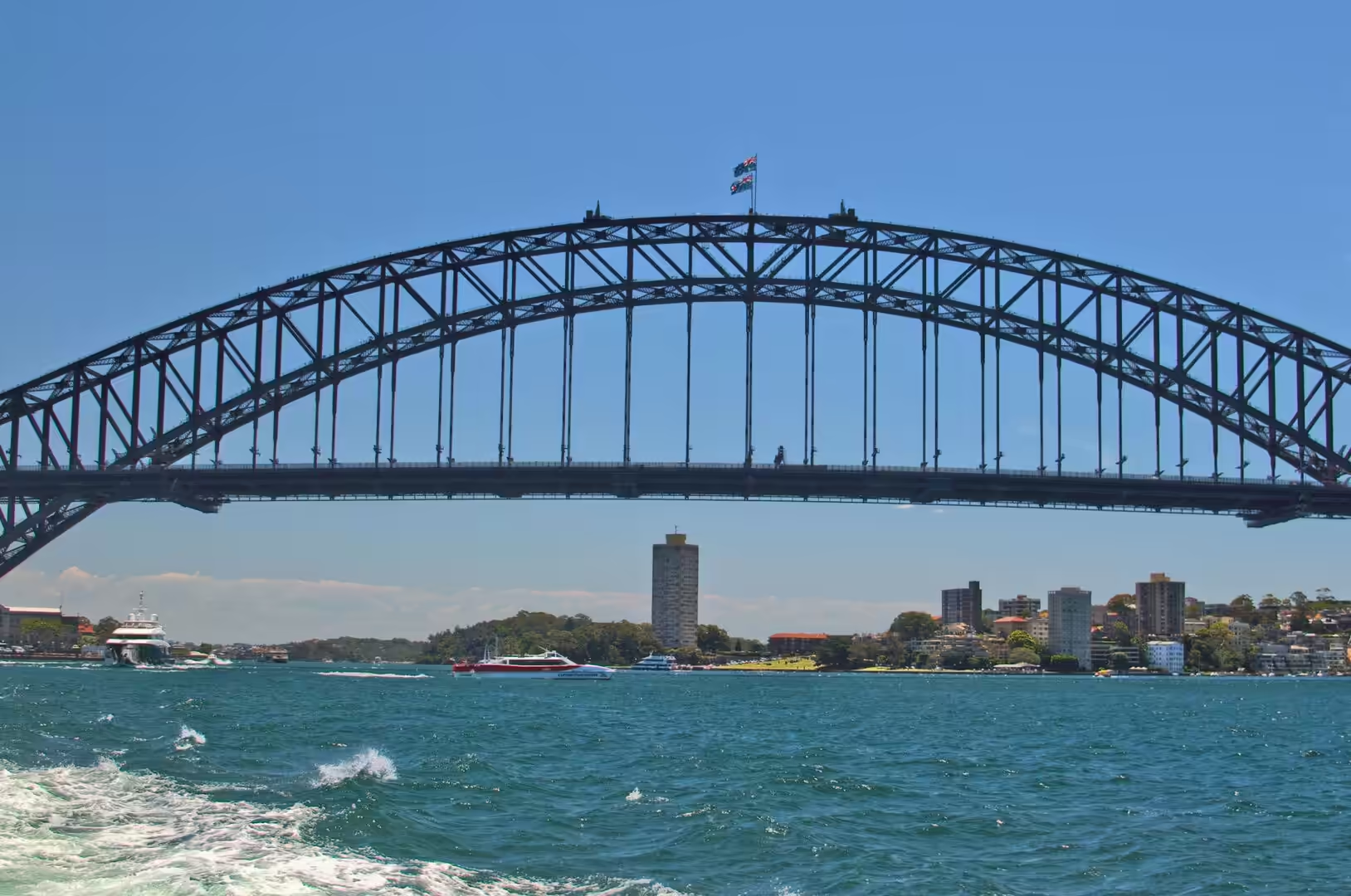
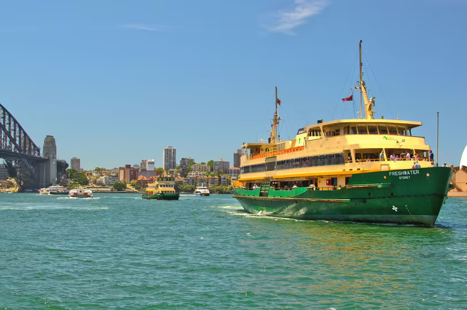
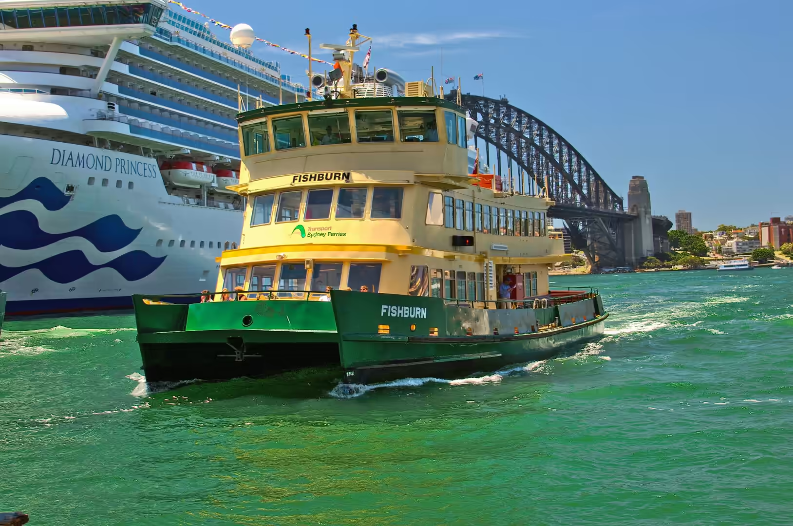
The second day in Sydney was given to the harbour and to the animals that live beside it. A short hop on the ferry from Circular Quay reaches Taronga Zoo, which occupies a hillside at Bradleys Head on the north shore, and the crossing alone is worth the fare: the boat passes the Opera House with its shells in the morning light, slips under the arch of the Harbour Bridge, and then turns north past the white hull of a cruise ship moored at the passenger terminal.
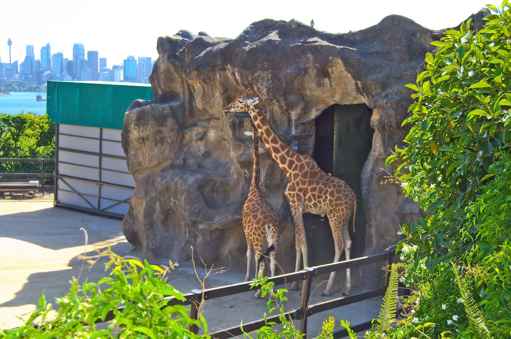
The zoo sits on a slope that drops to the water, and its paths are arranged in terraces so that the animals are seen against the skyline of the city across the harbour. This is the view that has made the place famous, and it works in both directions: the giraffes stand on their enclosure with the towers of the central business district behind them, and from the cable car that hangs above the site the whole of the harbour lies open, from the bridge in the west to the heads in the east.
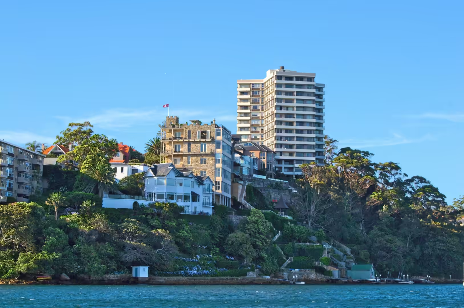
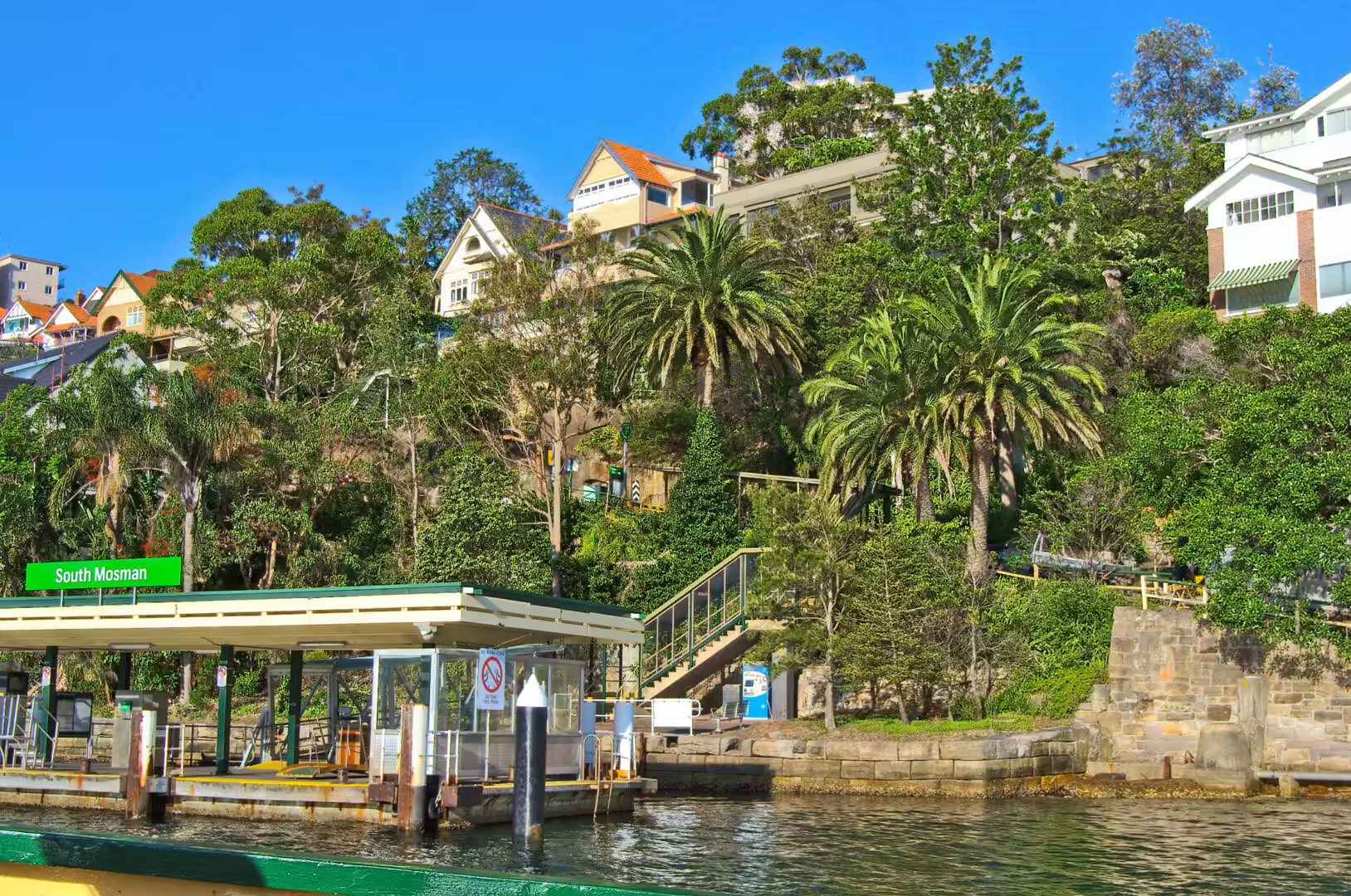
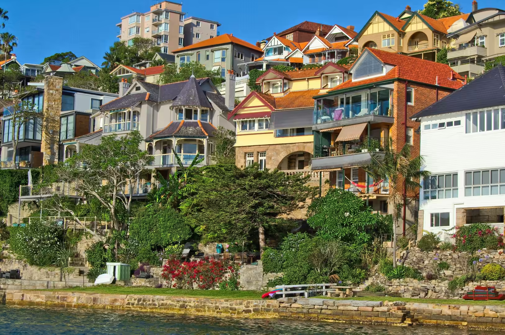
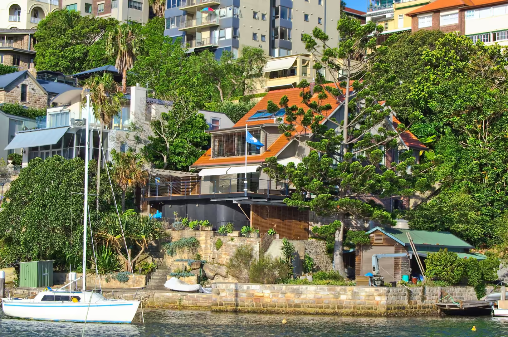
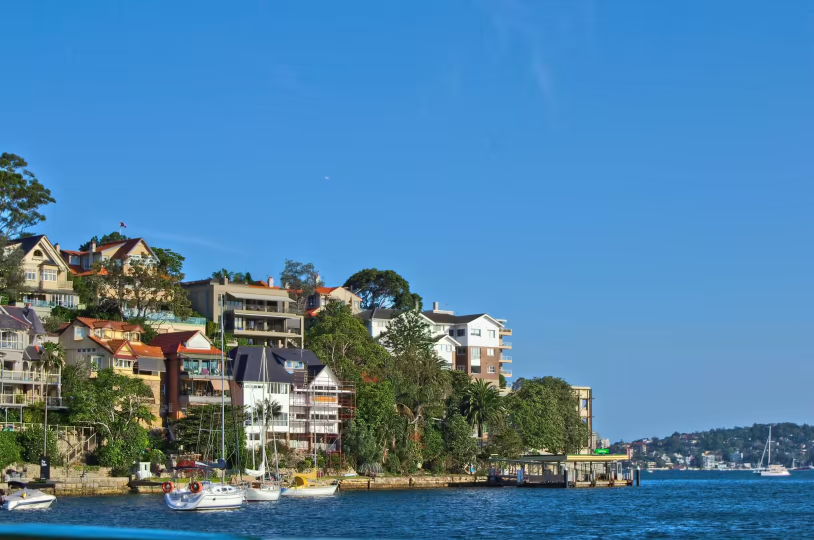
Later in the day the ferries were used as the city uses them, to move between the waterfront suburbs. The run to Mosman and back, with a stop at the small timber wharf below the houses, showed the quiet side of the north shore, and an evening walk through The Rocks brought the day back to the sandstone streets where the colony began.
The weather set the rhythm of the day. Sydney in December is hot and humid, with the sun strong enough by midday to send the zoo crowds into the shade of the fig trees, and a sea breeze that arrives in the afternoon and cools the waterfront first. The zoo is built in terraces linked by paths and a cable car, so the walking is either up or down and never level, and the picnic lawns at the top, with the harbour below them, are the place where most people stop for an hour without noticing that they have.
History
Taronga Zoo opened in 1916 on land at Bradleys Head that had been set aside as a public reserve, and it was laid out by the same generation of designers who gave the city its harbour parks. Its name comes from an Aboriginal word for a view or a lookout, and the site was chosen because the slope faces north across the water and holds the warmth of the sun. The zoo has been a centre for the breeding of threatened Australian species for decades, and it holds animals from the dry interior alongside those of the coast.
The Rocks, on the western side of Sydney Cove, is the other historical anchor of the day. It was here that the First Fleet landed in 1788 and here that the first convict huts, storehouses and wharves were built, and it remained a rough waterfront quarter of sailors, warehouses and pubs long after the settlement spread south. Its narrow lanes were nearly demolished in the twentieth century and were saved by protest and by a change of planning policy, so that what stands today is a mixture of genuine colonial buildings, restored terraces and new work in old materials, with the Argyle Cut driven through the sandstone ridge as a reminder of how the place was carved out.
Mosman, on the north shore, remembers a different beginning. Archibald Mosman established a whaling station on the bay that now carries his name in 1831, with a jetty, a store and quarters for the crews who worked the season. Whaling ended within a generation, the bay became a place of shipyards and boat sheds, and the suburb that grew on the slopes above it is now one of the most expensive in the country, connected to the city by the ferry service that still uses the old landing stages.
The harbour made the suburb possible, and the ferry service made it fashionable. Steamers began running across to the north shore in the middle of the nineteenth century, and by the early twentieth century the harbour was crossed by a dense network of routes that carried commuters from every bay to the city wharves. The opening of the Harbour Bridge in 1932 broke that monopoly, the trams and later the trains took much of the traffic, and the ferry network shrank to a handful of lines before recovering as a pleasure service in the last thirty years. The boats that carry visitors to Manly and the zoo today are the descendants of the commuter fleet, and the wharves they use are often the original timber structures rebuilt in concrete.
Geology
The north shore of the harbour repeats the geology of the south in a steeper key. The same Middle Triassic Hawkesbury sandstone underlies both sides, but here it forms high bluffs above deep water, and the ferries follow channels that were cut into the rock when the sea level was much lower. Bradleys Head, where the zoo stands, is a resistant headland that has survived the work of the waves, and its cliffs show the bedding of the sandstone in long horizontal steps.
Between the headlands the shore is a series of small beaches and drowned valleys. Each bay has its own wedge of sand, built from material eroded off the surrounding cliffs and carried along the coast by currents, and each one ends in a shore platform of bare rock that is exposed at low tide and covered again twice a day. The platforms are the best place to read the structure of the rock: the joints and the bedding planes of the sandstone, and the potholes where pebbles have been spun by the surf.
The harbour itself is a drowned river system, and its depth is uneven for that reason. There are channels deep enough for the largest ships alongside shallow banks that were once the floodplains of the Parramatta River, and the pattern of the tides moving through the heads is what keeps the water clear and salt. On the ocean side of the heads, the Tasman Sea drives long swells against the coast, and the beaches north of Manly face those swells without the shelter of the harbour.
Two shallow arms of the drowned valley, Middle Harbour and the Lane Cove River, reach north and west among the suburbs, and both are lined with the same sandstone and the same small beaches. Because the harbour is narrow at the heads and wide inside, the tide that enters twice a day is squeezed and delayed, and the water in the upper reaches is warmer and less salty than the water at the entrance. The sand on the ocean beaches is different again: it is coarser, it comes from the erosion of the coastal rocks and from the rivers, and the long jetties and sea walls at the harbour entrance interrupt its movement along the shore, which is why the beaches on either side of the heads need to be replenished from time to time.
Manly, at the northern entrance to the harbour, shows what the drowned coastline produces at its most convenient. The suburb stands on a narrow neck of land between the calm water of Manly Cove and the surf of the ocean beach, so that a walk of five minutes separates a sheltered harbour anchorage from open ocean swell, and the shops and the wharf sit in between. The ocean beach is held in place by the headlands at either end, and the dark patches of reef that show through the water inside the bay are the drowned remains of the same rock platform that is exposed at low tide under the cliffs of the harbour.
Things to See
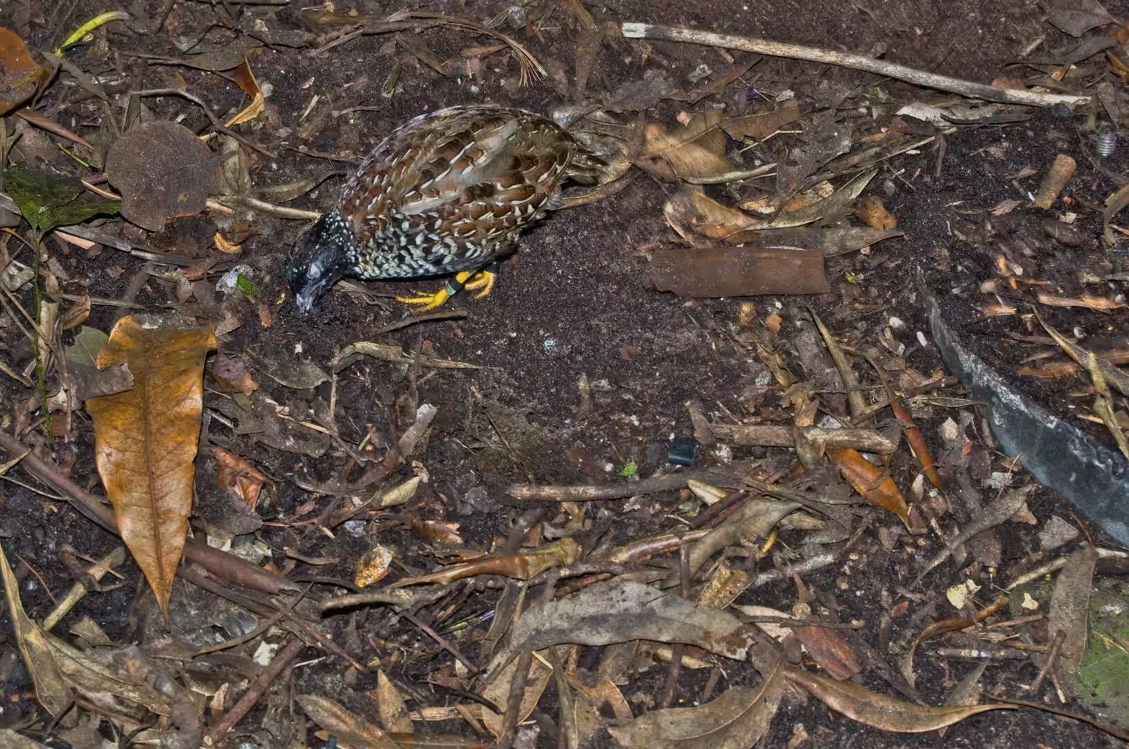
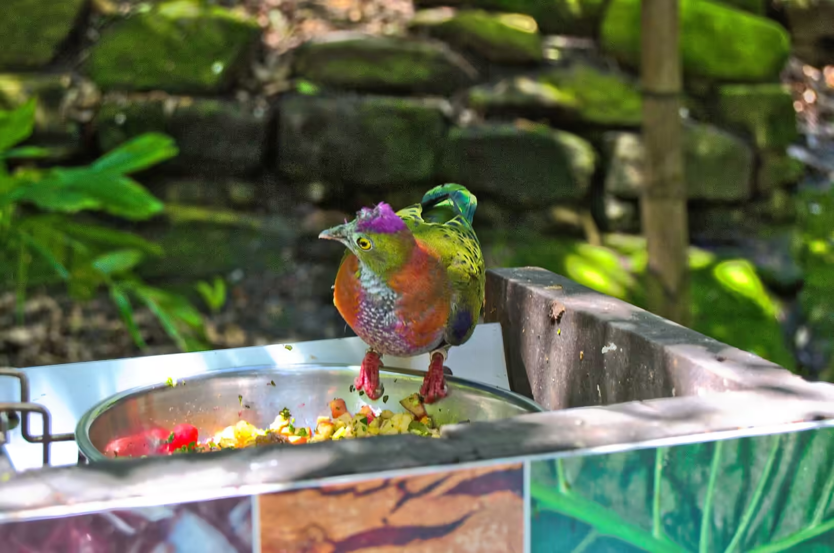
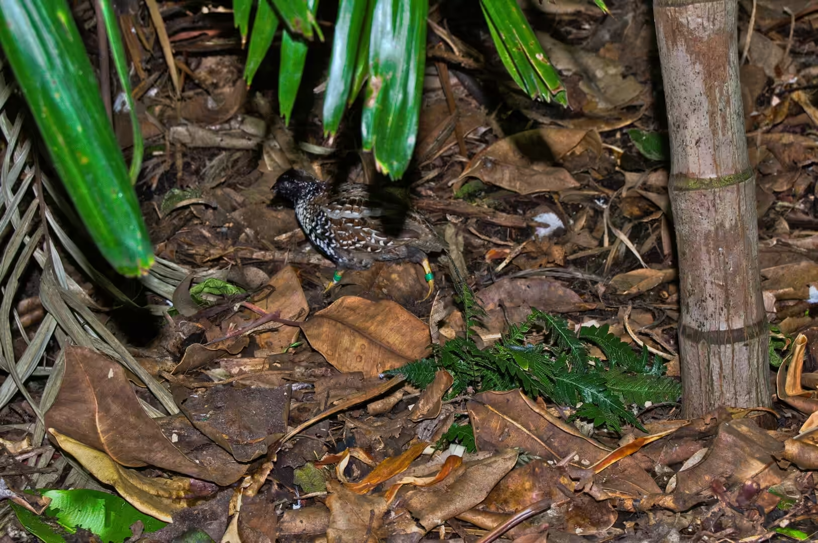
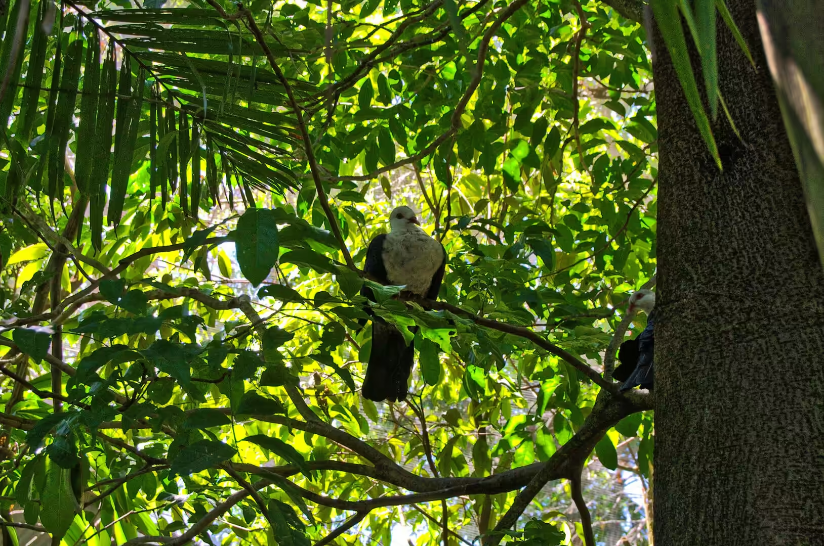
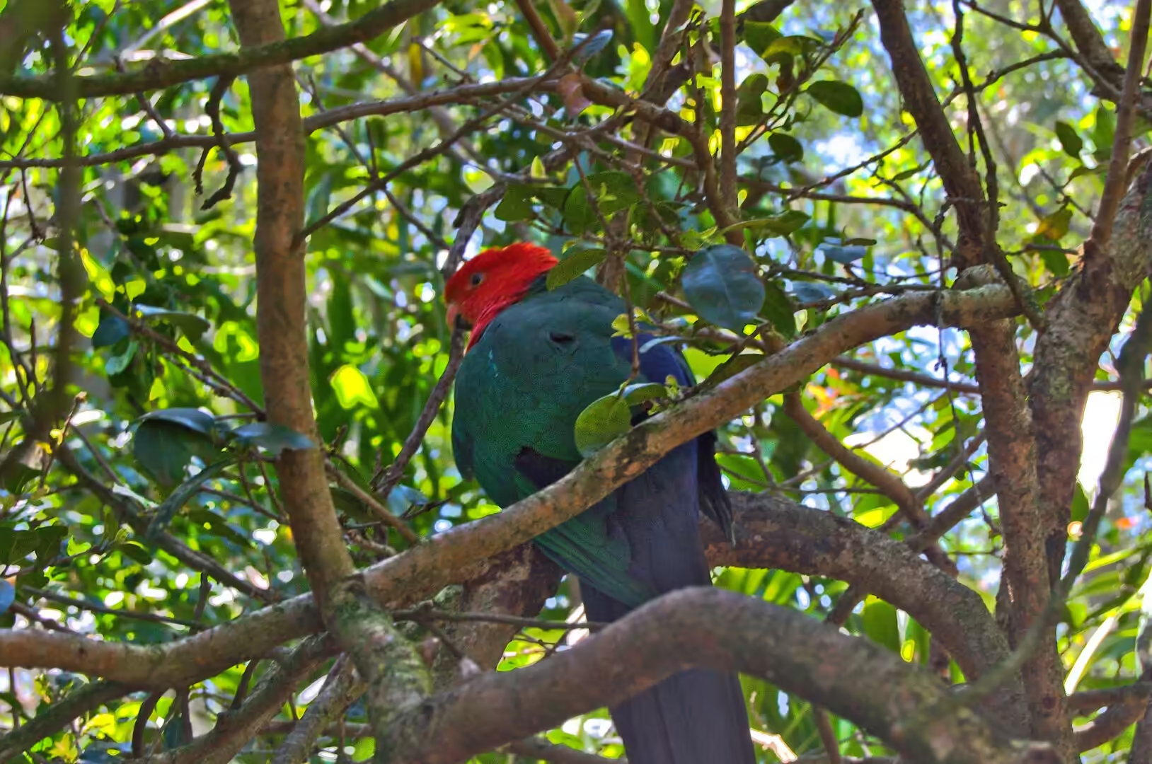
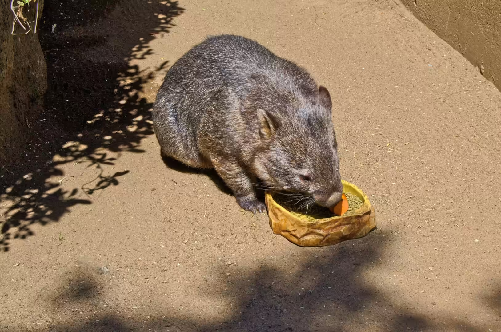
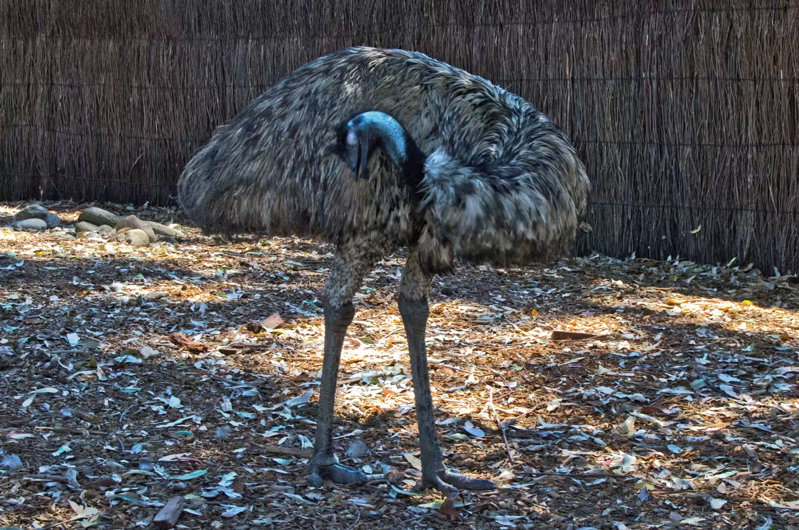
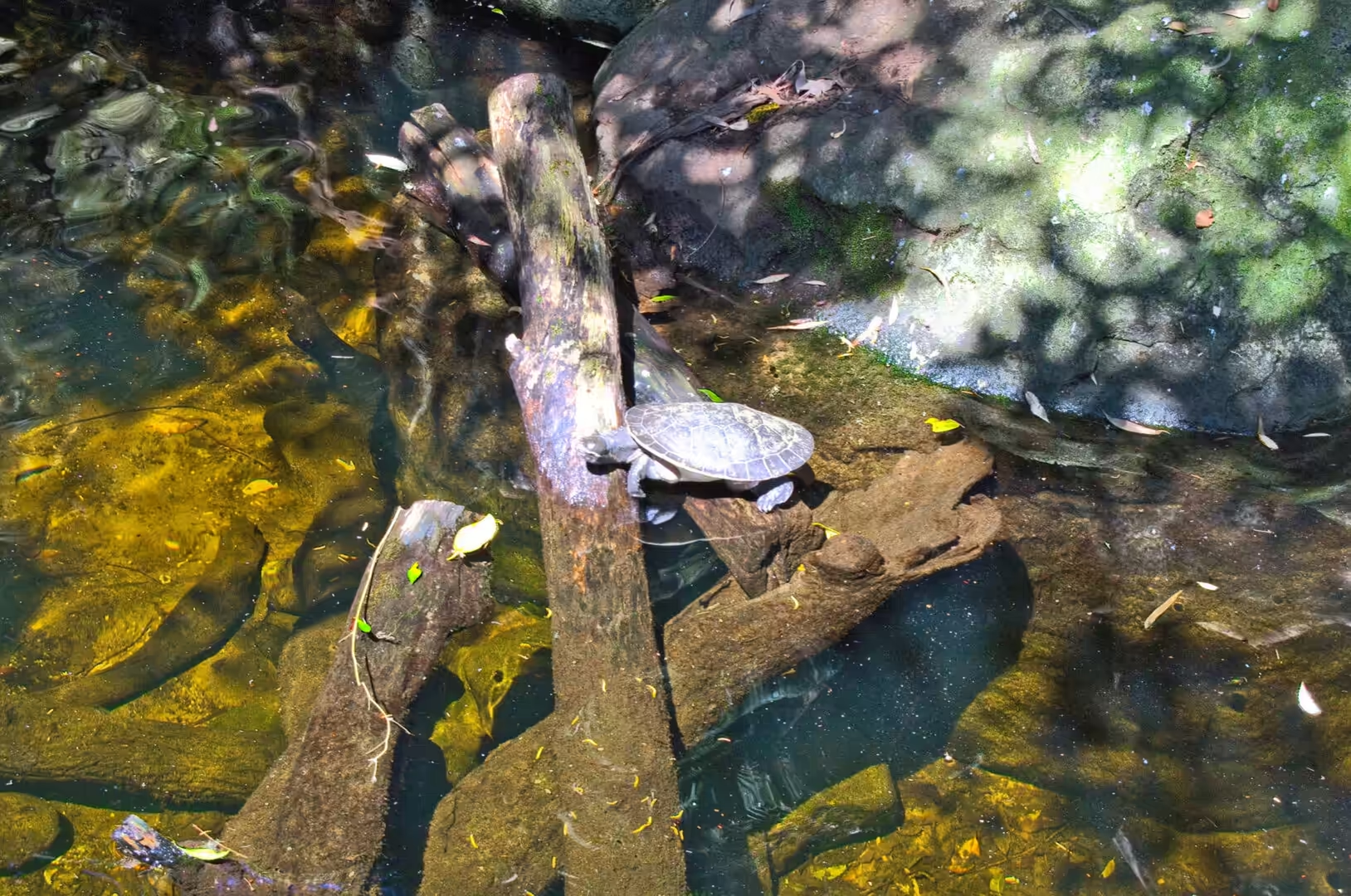
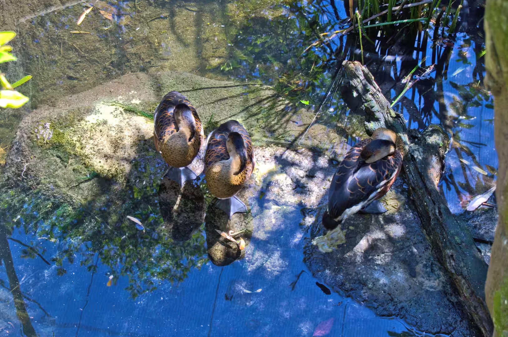
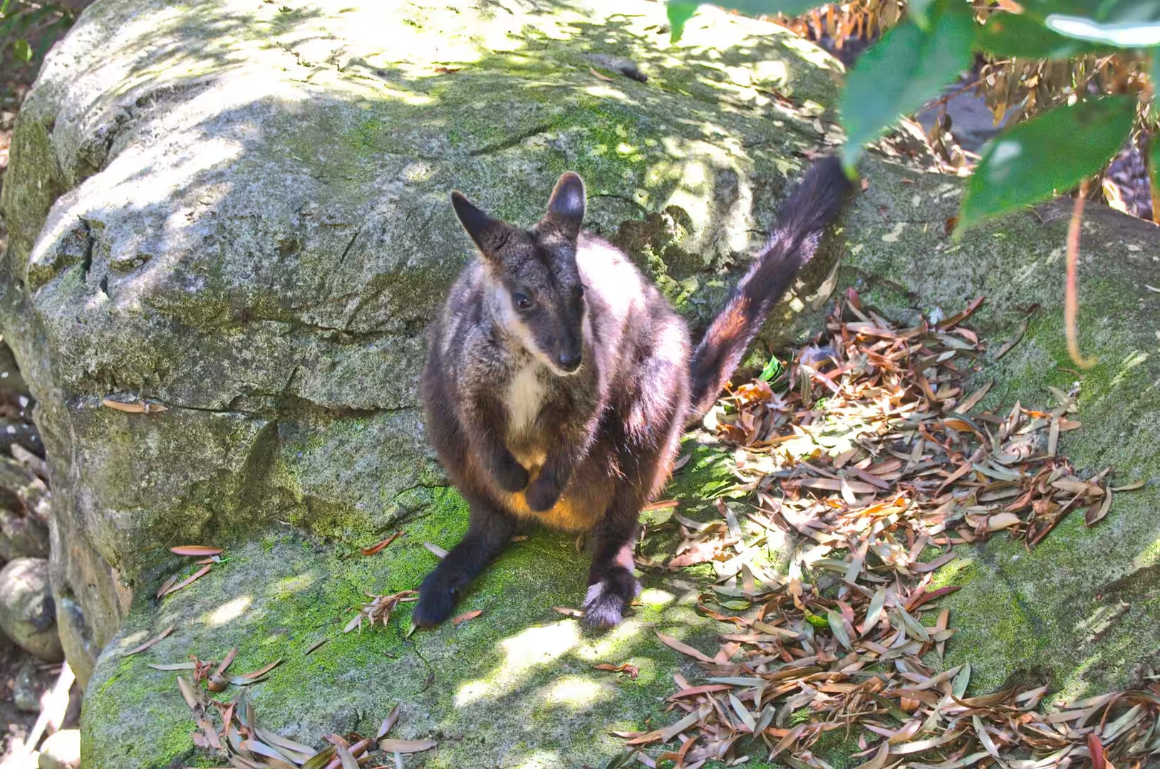
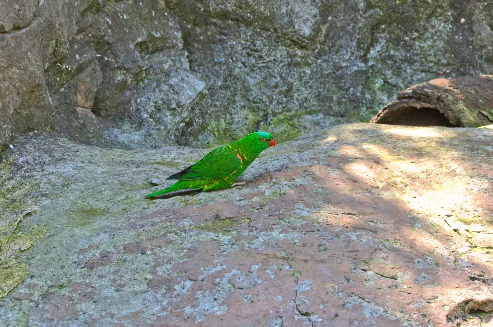
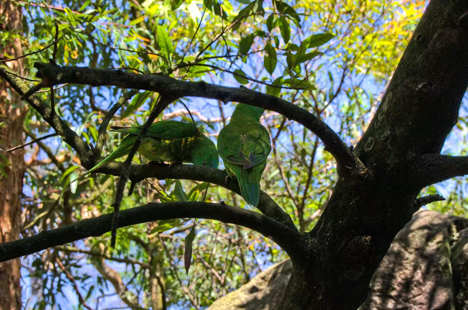
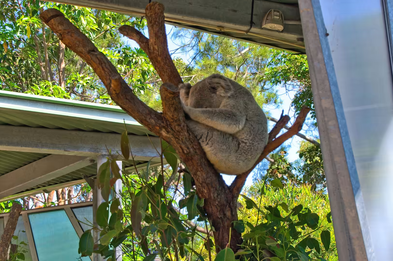
The animals of the zoo are grouped by continent and by habitat, and for a visitor from Europe the Australian section is the reason to come. Brush turkeys scratch through the leaf litter on their heavy yellow legs, king parrots and rainbow lorikeets take fruit from the feeding stations, a wombat sleeps off its meal of vegetables, and emus, kangaroos and wallabies share the open yards with the visitors. The koala, curled in a fork of a branch, is asleep in the middle of the afternoon as koalas generally are, and the reptile house holds turtles and lizards from the interior.
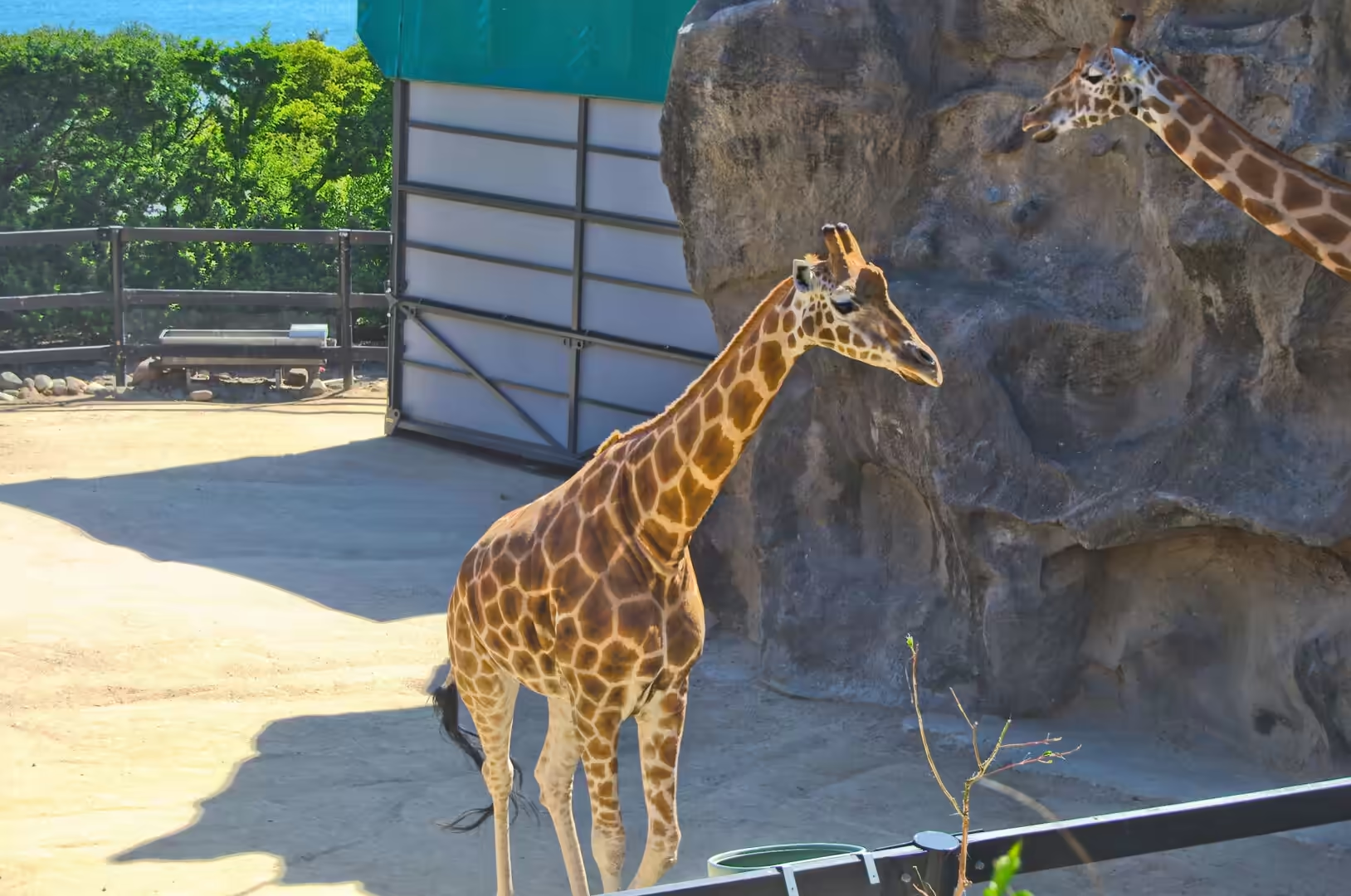
The giraffe enclosure, on the highest terrace of the site, is the one that every visitor stops to look at. Two animals stand on a raised platform with the towers of the city directly behind them, an arrangement that makes the distance between Sydney and the African savannah look like a matter of a few streets. The Sky Safari cable car runs from the lower entrance to the top of the hill and back, and from its glass sides the whole harbour is laid out below: the bridge, the Opera House, the ship at the terminal and the line of the shore.
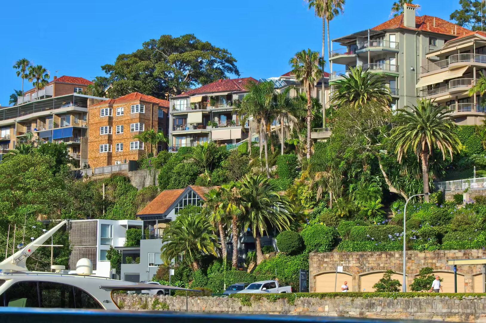
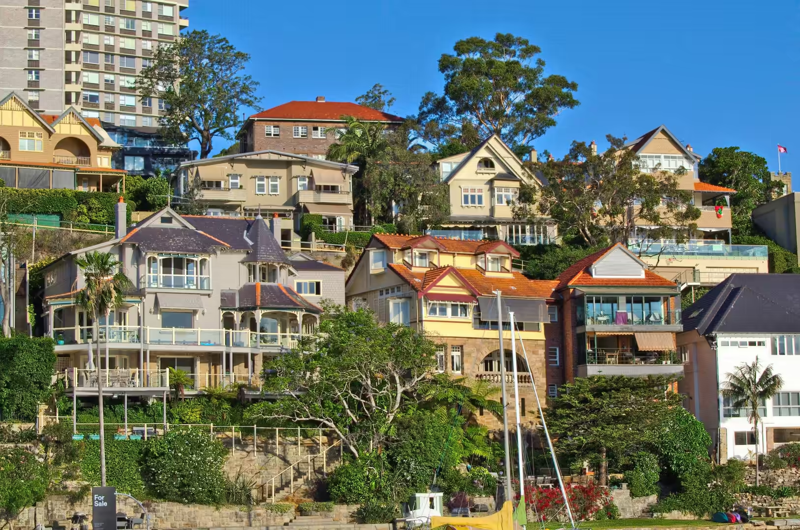
Back on the water, the harbour lends itself to slow travel. A ferry to Mosman passes the old whaling station bay, the timber jetties and the houses built in tiers up the hillside, and the small beach at Balmoral, with its own ferry wharf and its calm water, is one of the best places in the city for a swim without surf. The palm lined promenades and the seaside roads were laid out in the early twentieth century for exactly this purpose, and they still work.
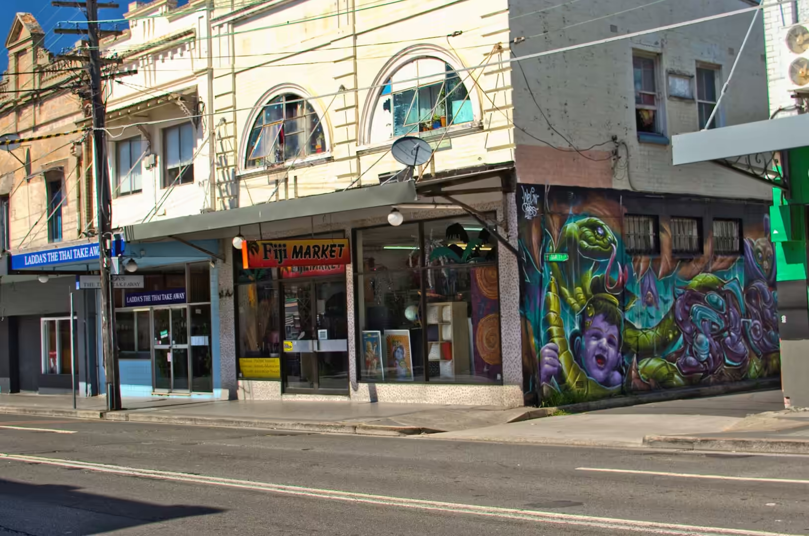
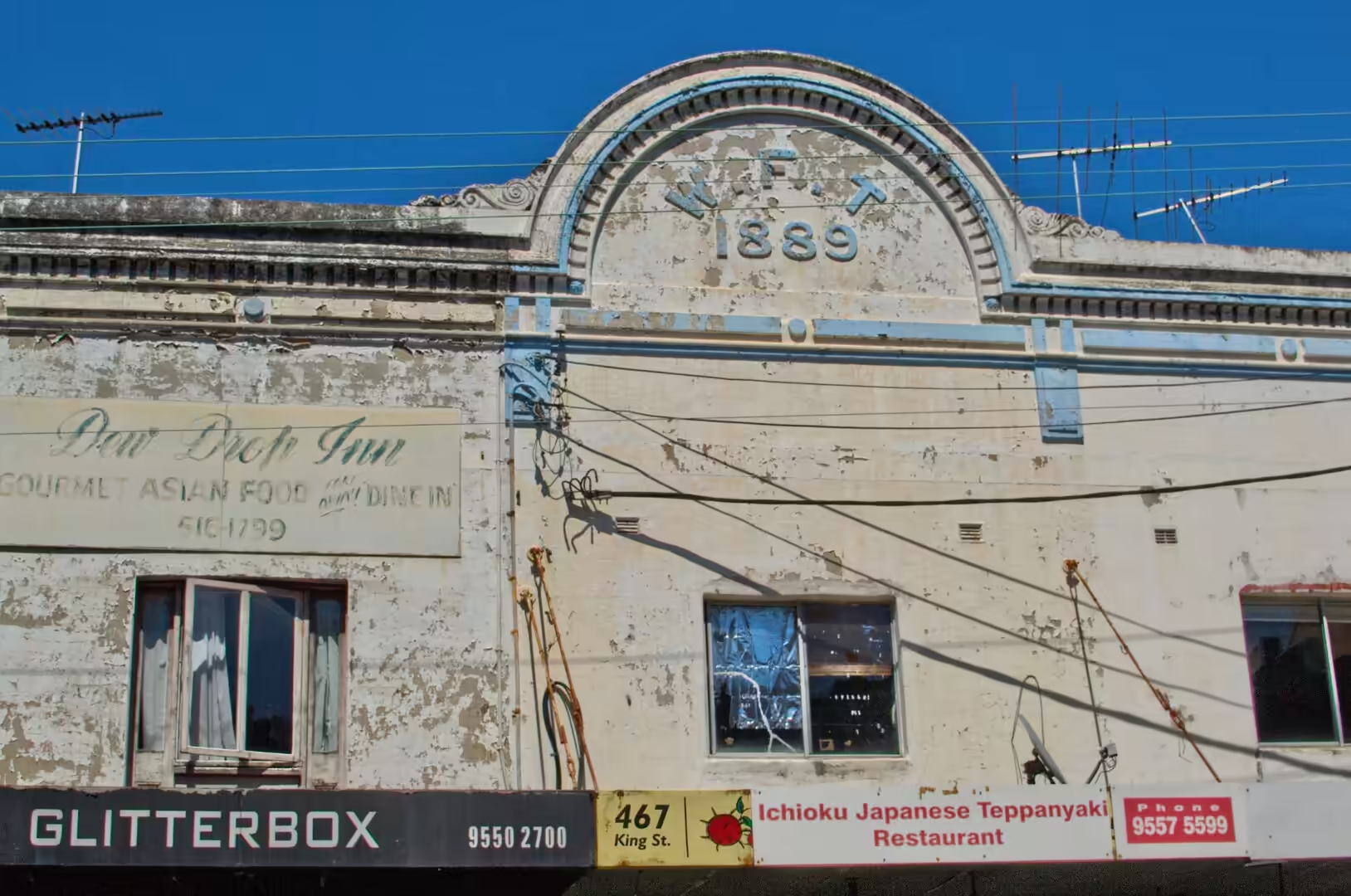
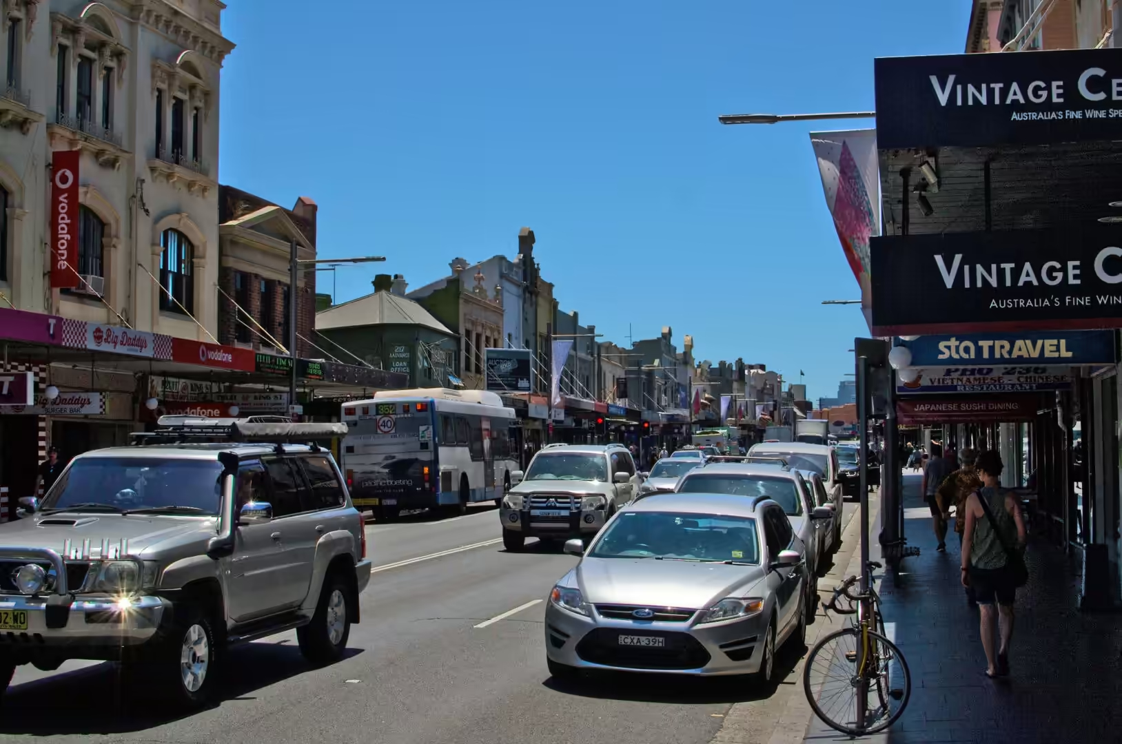
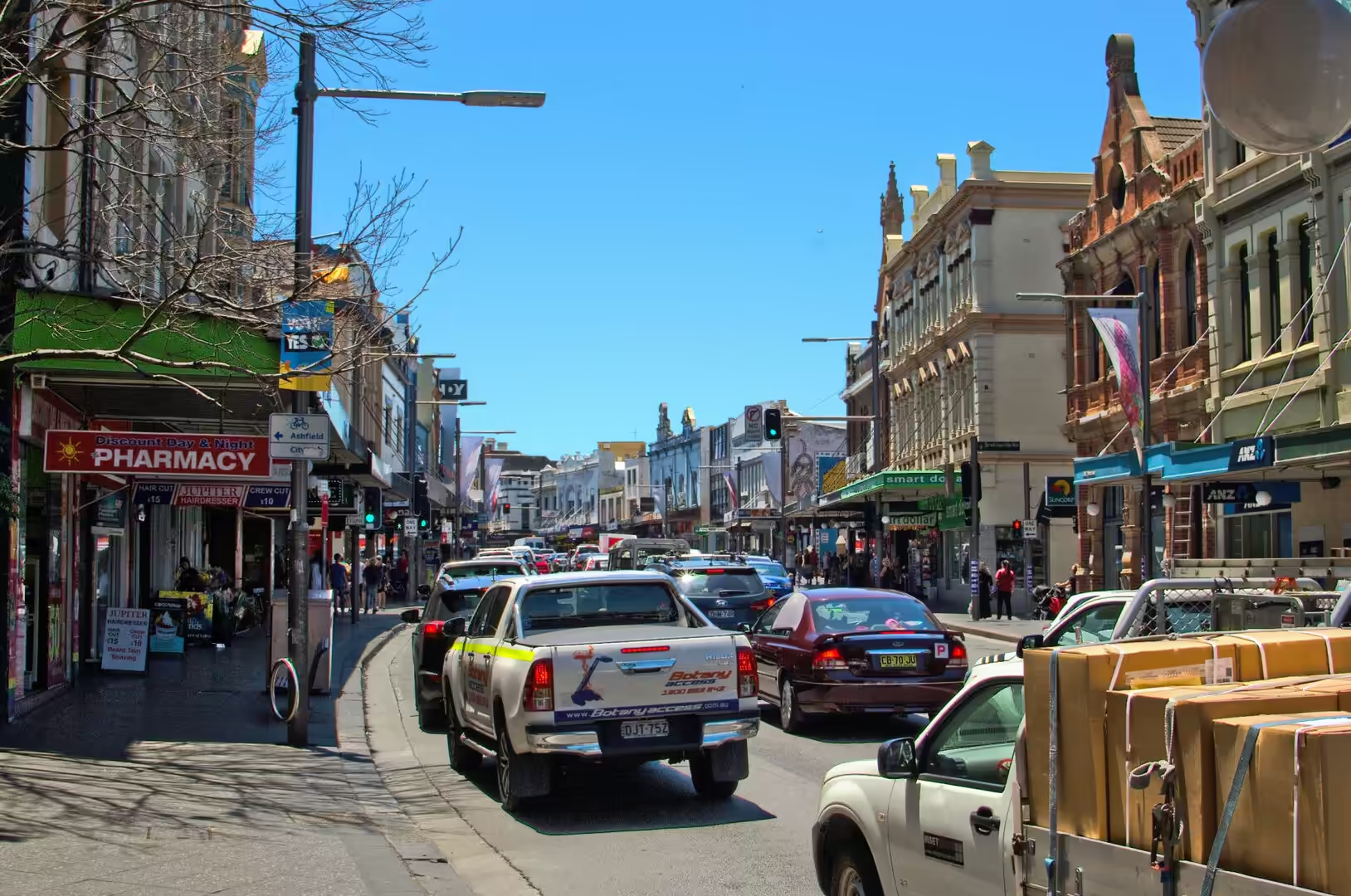
The Rocks in the evening is the historic quarter doing what it does best, feeding people. The old corner buildings, with their peeling paint and their modern murals, hold restaurants and small bars, and the heritage shopping street behind the waterfront is busy with traffic and with shoppers. Above it all the sandstone terraces that were cut for the colony are still standing, and the Harbour Bridge, floodlit at night, carries its trains and its traffic across the water in a steady roar.
Just below the zoo a public walking track follows the shore from Bradleys Head to Athol Bay, past a memorial mast and through open woodland where the birds are used to people. This is the quietest way to see the harbour, on foot at the waterline with the ferries passing offshore and the towers of the city on the far side, and it needs no ticket. Further round on the ocean side the harbour beaches, with their shark nets, their cafes and their calm morning water, are where the north shore swims before work.
The return ferry at dusk is the best value of the day. The boats leave the quay every twenty minutes or so, and the crossing to Mosman or Manly in the last of the light passes the Opera House at its most striking, with the bridge behind it and the city towers turning on their lights one floor at a time. On the water the heat of the day finally lifts, the wake catches the evening colour, and the harbour shows the side of itself that has made it famous: not a monument but a working waterway that happens to be beautiful.
References
- Wikipedia contributors (2026). Sydney. en.wikipedia.org/wiki/Sydney
- Wikipedia contributors (2026). Taronga Zoo. en.wikipedia.org/wiki/Taronga%20Zoo
- Wikipedia contributors (2026). The Rocks, New South Wales. en.wikipedia.org/wiki/The%20Rocks%2C%20New%20South%20Wales
- Wikipedia contributors (2026). Mosman, New South Wales. en.wikipedia.org/wiki/Mosman%2C%20New%20South%20Wales
- Wikipedia contributors (2026). Manly ferry. en.wikipedia.org/wiki/Manly%20ferry
- Wikipedia contributors (2026). Sydney Ferries. en.wikipedia.org/wiki/Sydney%20Ferries
- Wikipedia contributors (2026). Port Jackson. en.wikipedia.org/wiki/Port%20Jackson
- Wikipedia contributors (2026). Bondi Beach. en.wikipedia.org/wiki/Bondi%20Beach
- Wikipedia contributors (2026). Coogee, New South Wales. en.wikipedia.org/wiki/Coogee%2C%20New%20South%20Wales
- Wikipedia contributors (2026). Manly, New South Wales. en.wikipedia.org/wiki/Manly%2C%20New%20South%20Wales
- Wikipedia contributors (2026). Tasman Sea. en.wikipedia.org/wiki/Tasman%20Sea
- Wikipedia contributors (2026). Royal National Park. en.wikipedia.org/wiki/Royal%20National%20Park
- Wikipedia contributors (2026). Sydney Harbour. en.wikipedia.org/wiki/Sydney%20Harbour
- Pells P. (2018) Engineering properties of the Hawkesbury Sandstone. Engineering Geology of the Sydney Region. 179-197. doi.org/10.1201/9780203757390-10
- Ward P. (2018) Excavation of Hawkesbury Sandstone in the Sydney Region. Engineering Geology of the Sydney Region. 199-202. doi.org/10.1201/9780203757390-11