Day 20 - Kalgoorlie





















Journal Notes
General
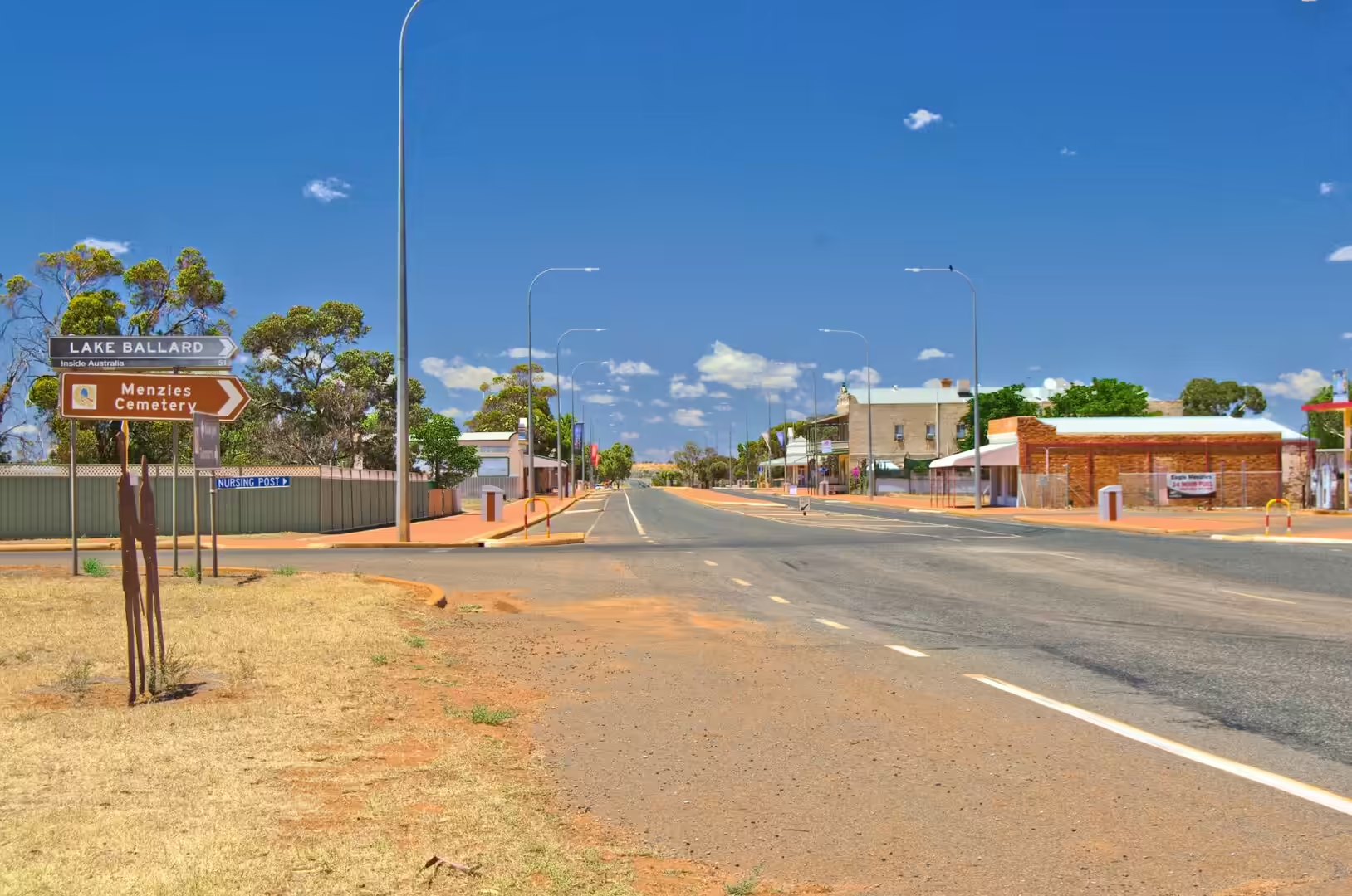
The twentieth day took in one of the strangest sights in the country and ended in a city built on gold. The morning began on the road south through Menzies, a gold town that has shrunk to a hotel, a shire office and a row of empty buildings, and it continued past a roadside sign pointing to Lake Ballard and the Menzies cemetery. A dead cow on the verge with small birds around it was a reminder of what the road does to animals and what the animals do in return.
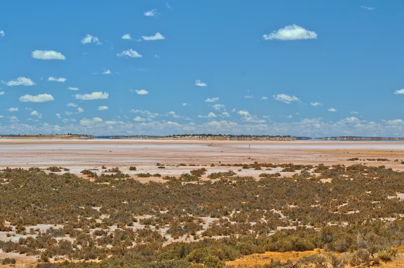
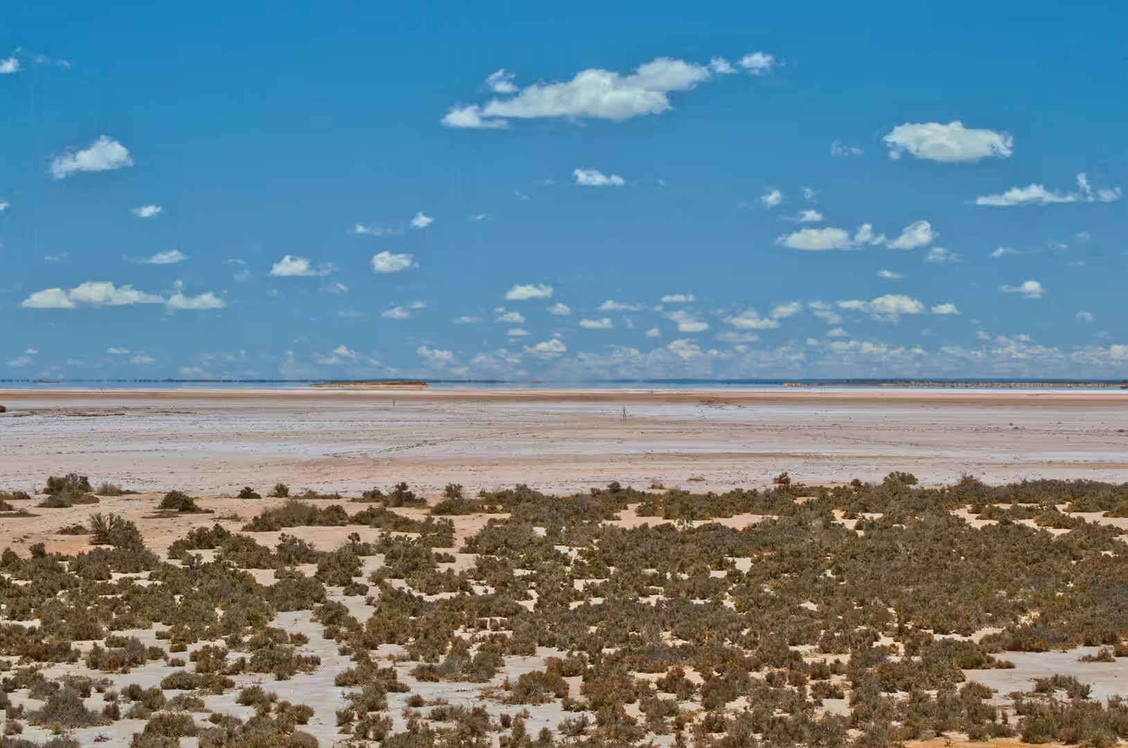
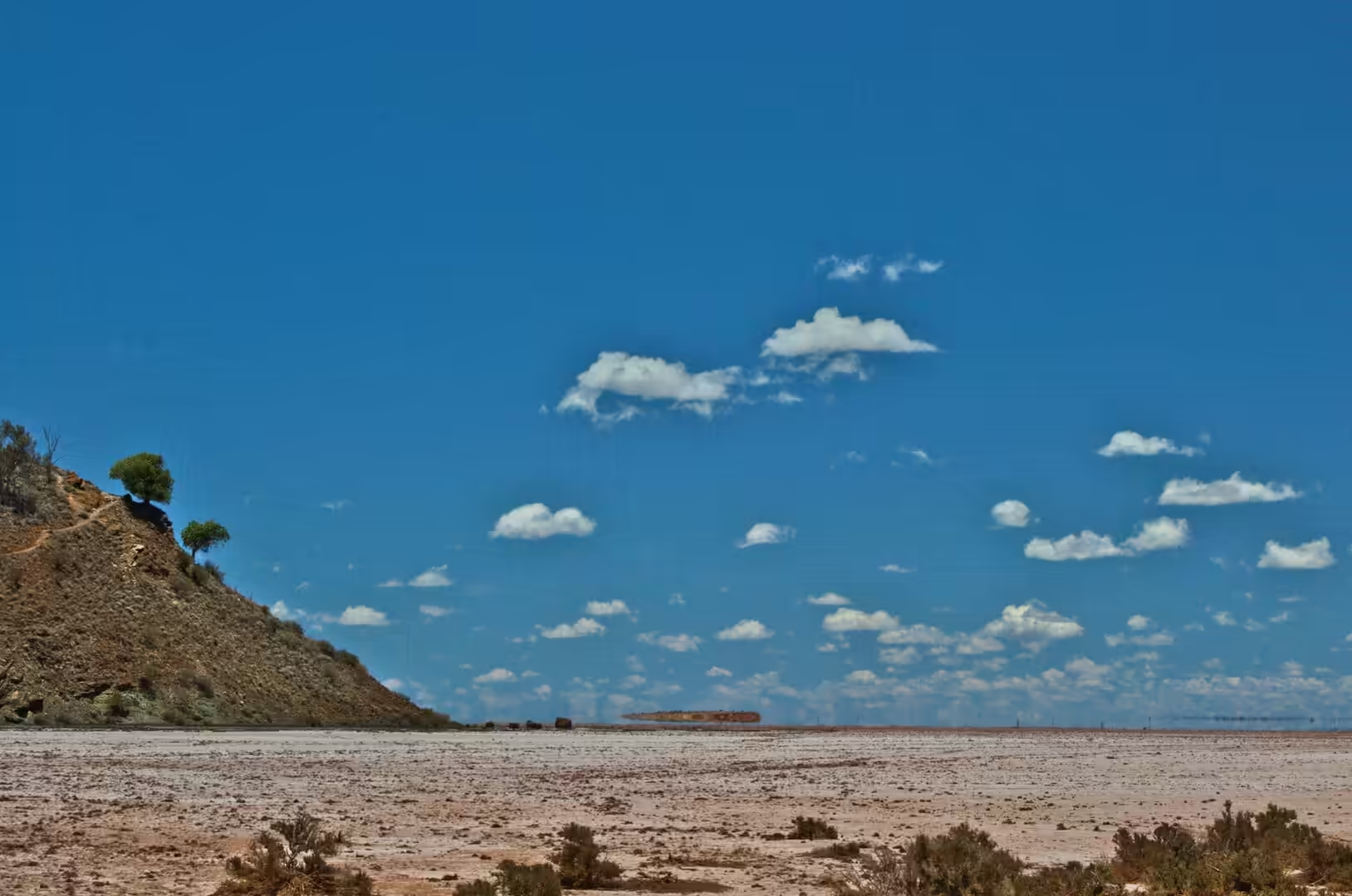
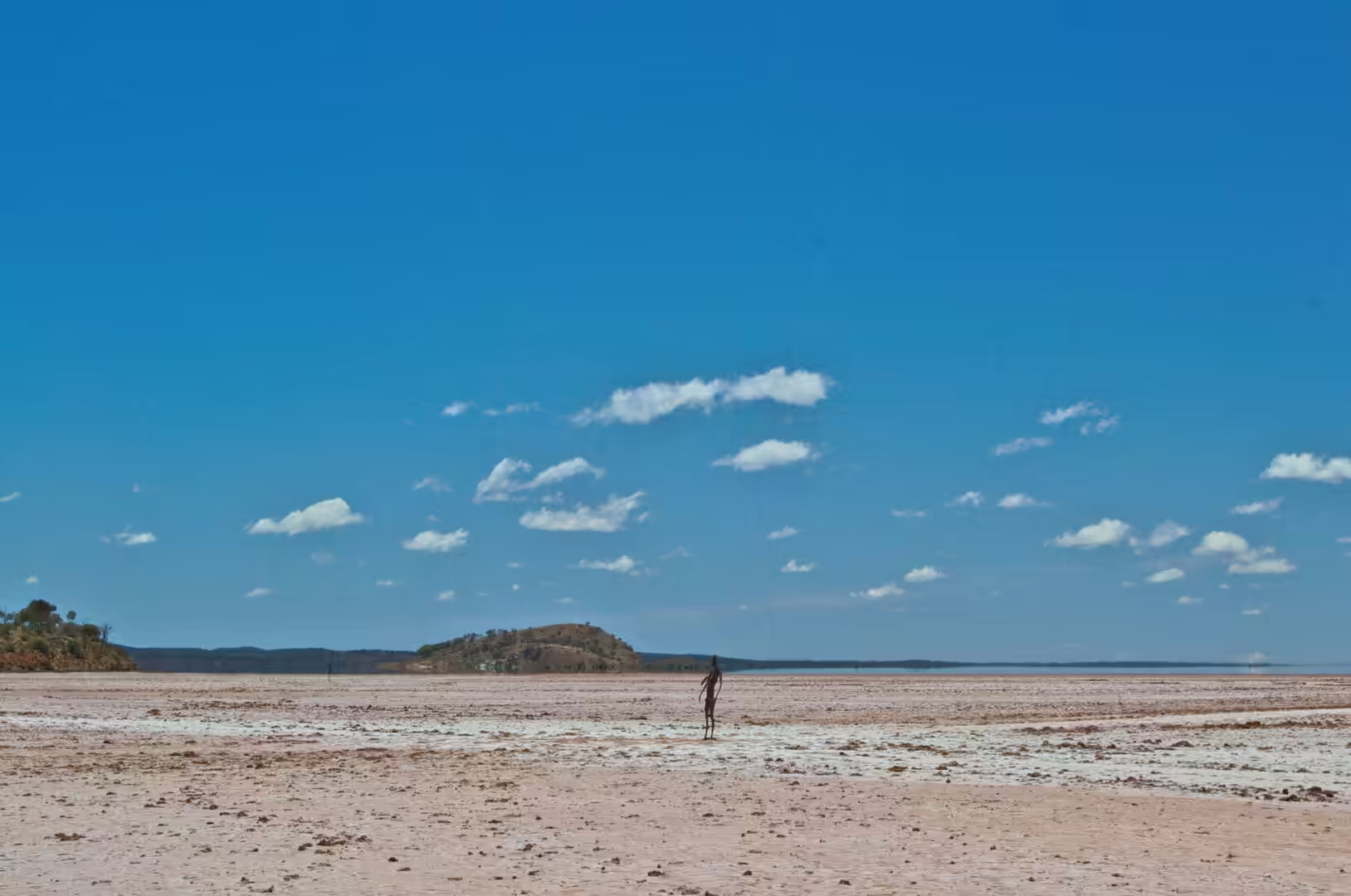
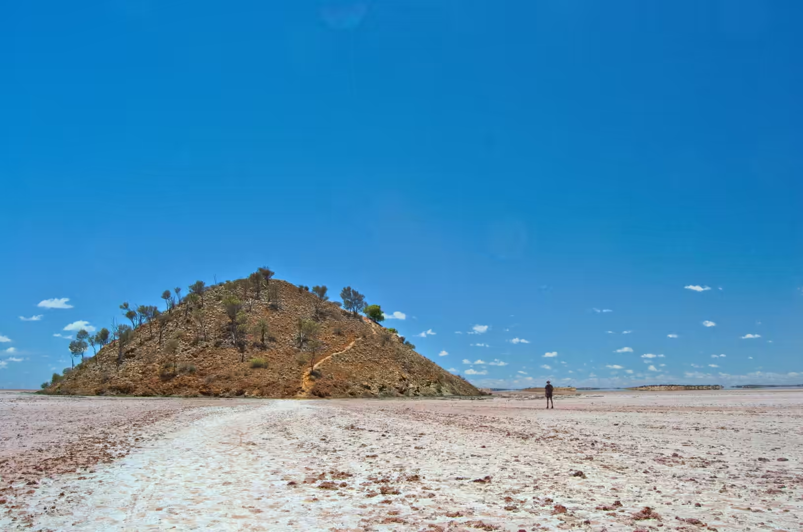
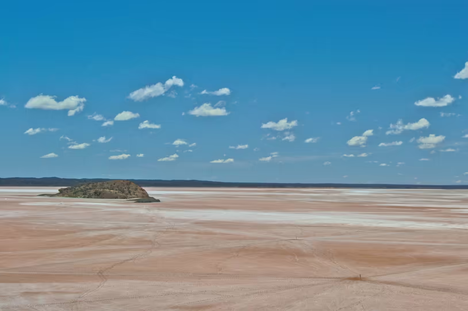
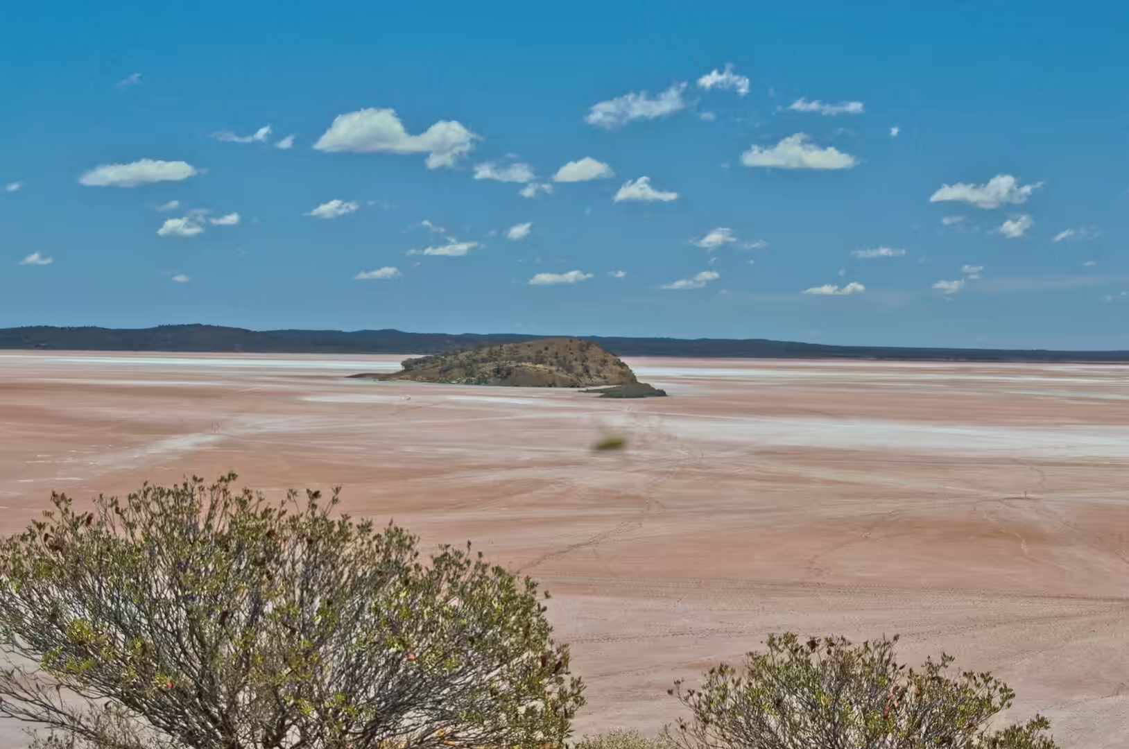
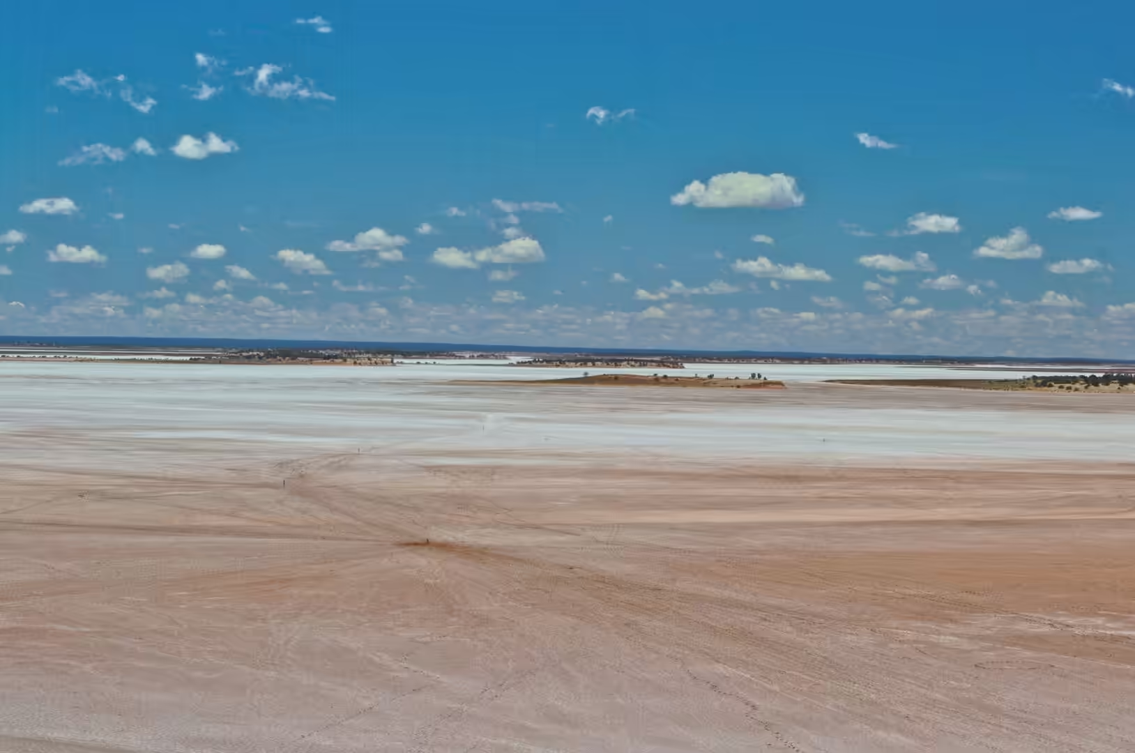
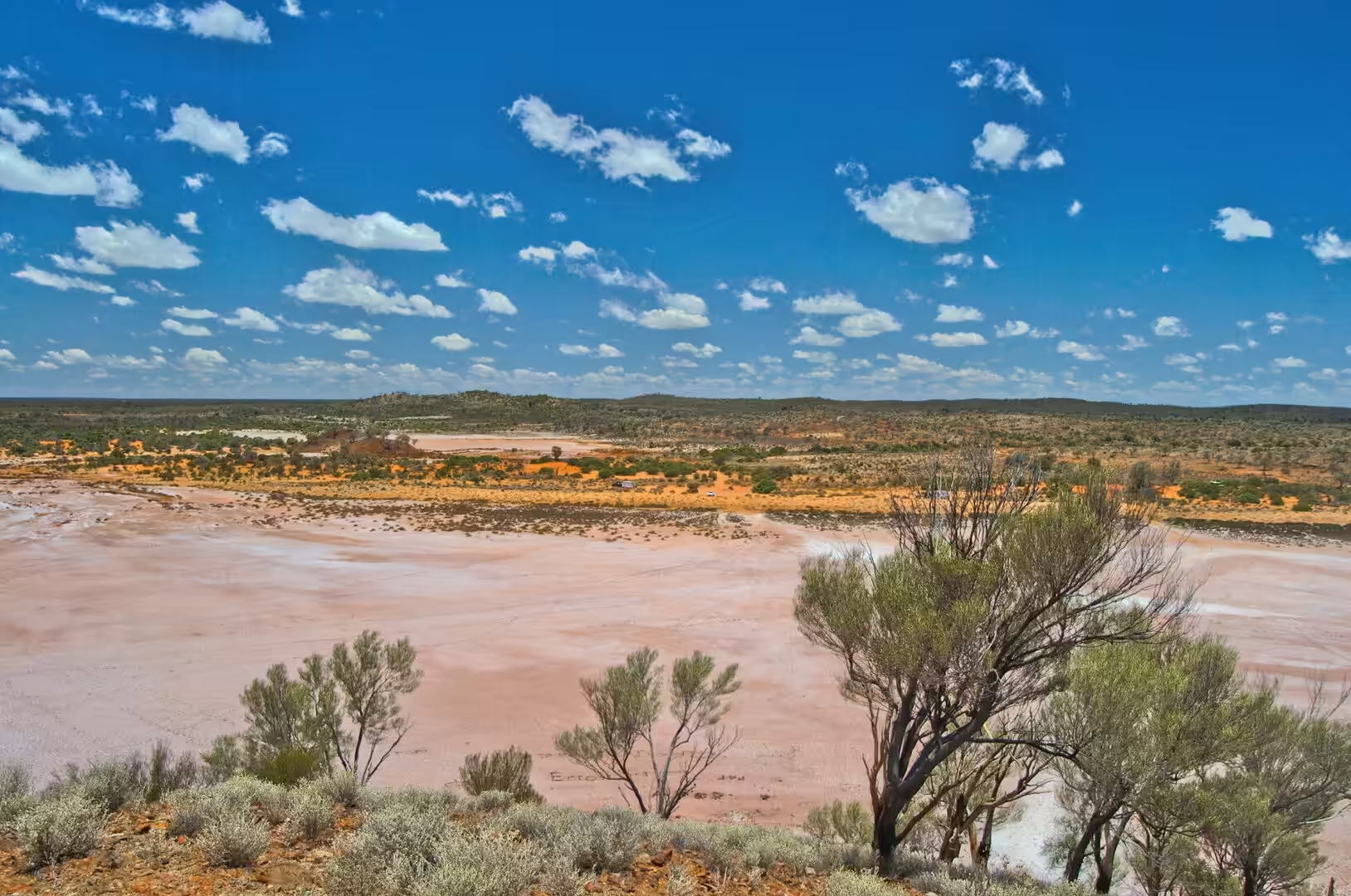
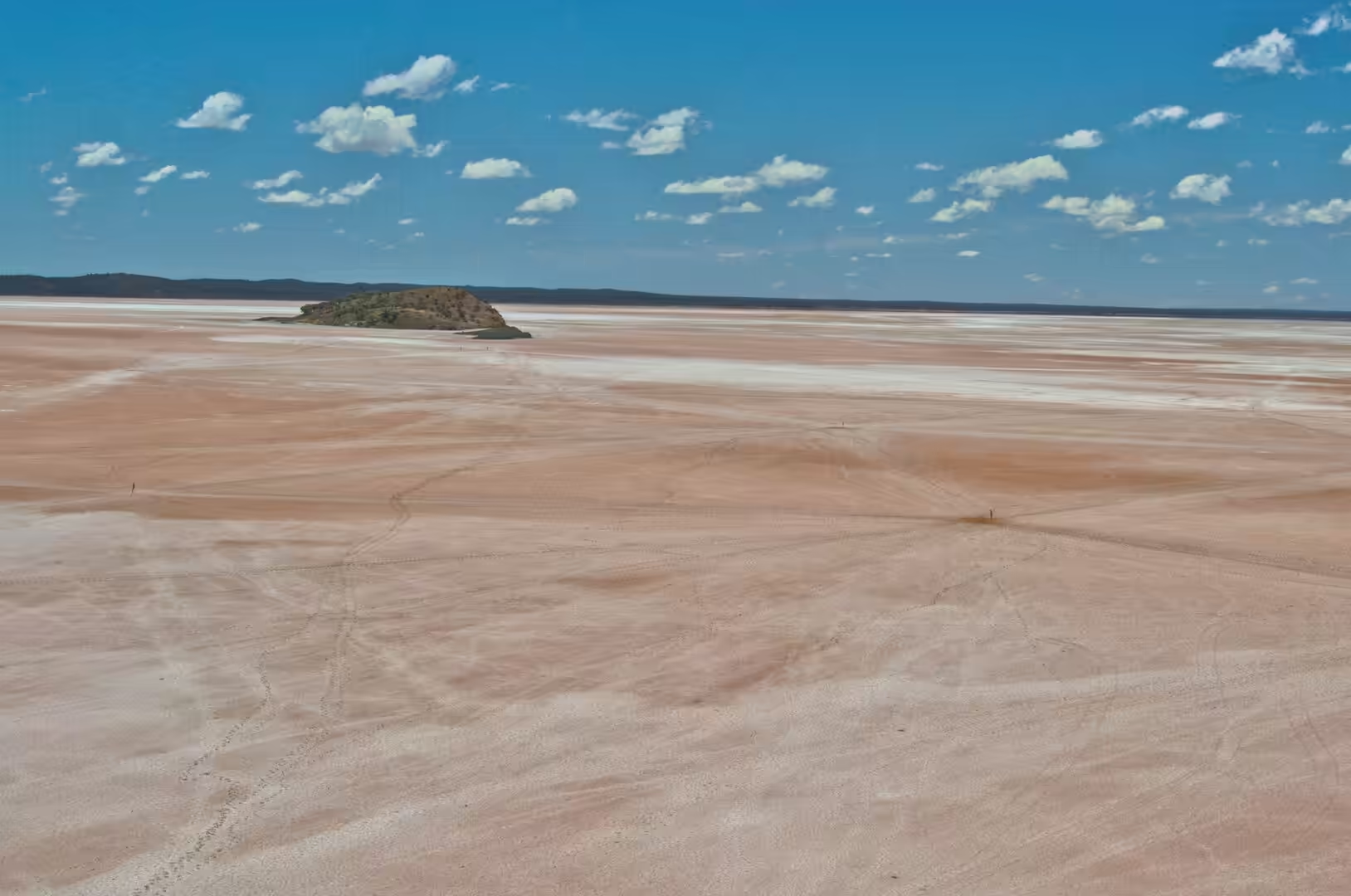
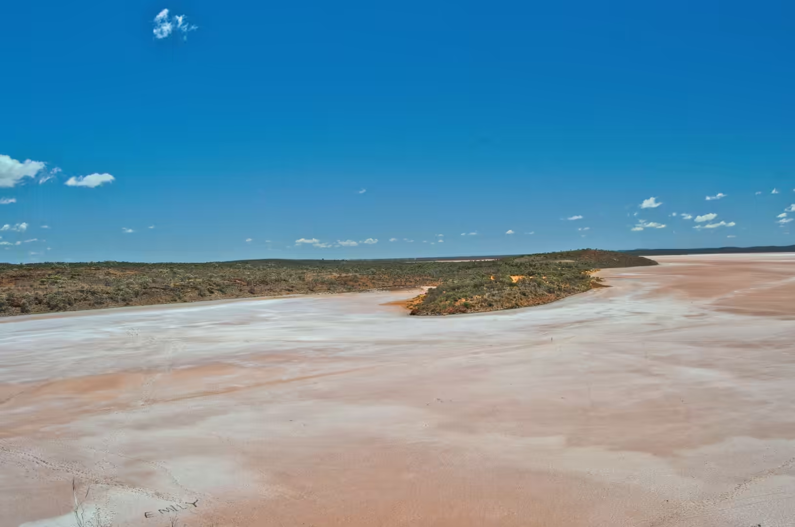
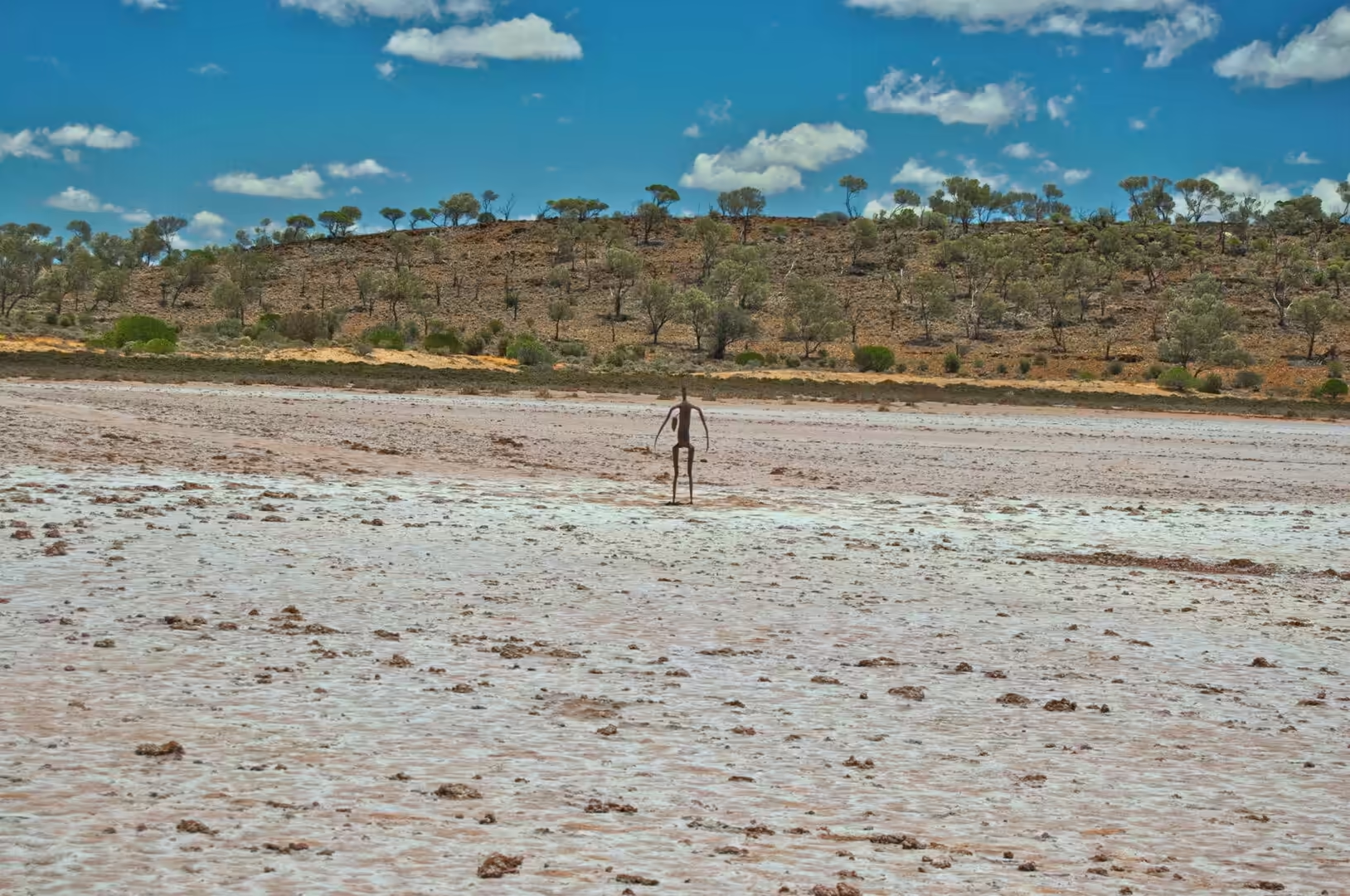
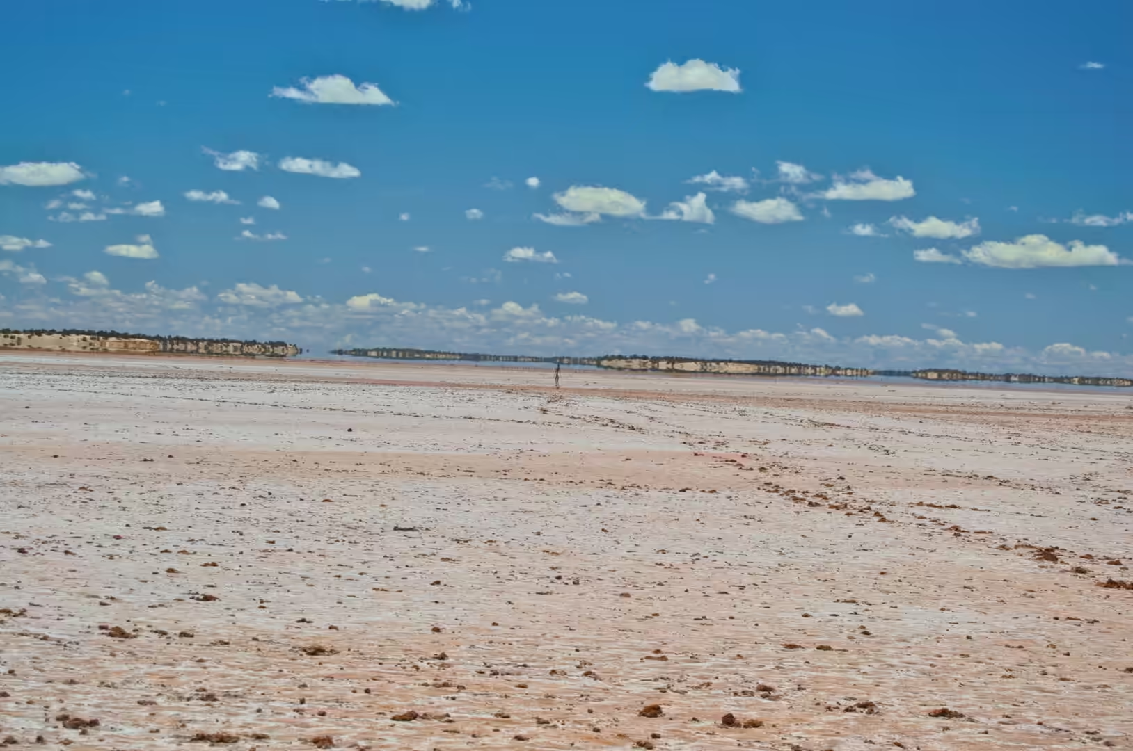
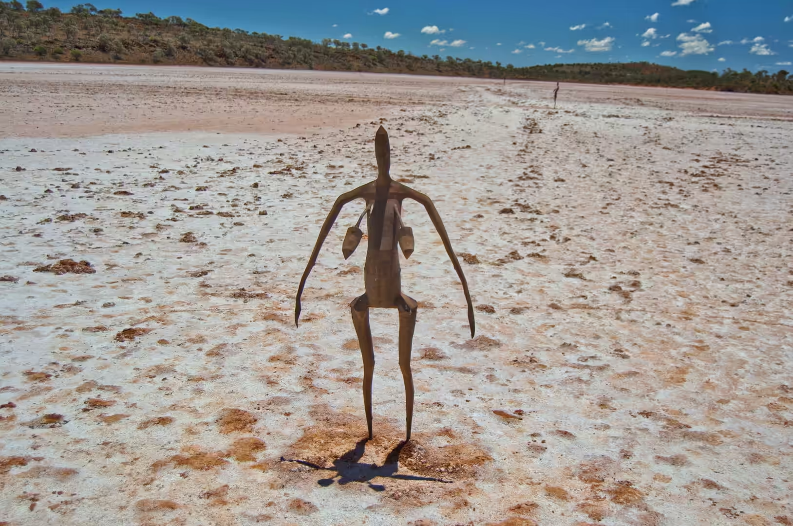
The lake itself is a flat white and pink sheet of salt and clay, eighteen kilometres north of Menzies, and standing on it at the end of the morning were fifty one figures. They are thin, dark and slightly larger than a person, they are scattered over ten square kilometres of the lake bed, and from a distance they look like people walking across the salt. Close up they are cast metal, with the proportions of real bodies and no features, and each one stands in its own patch of silence.
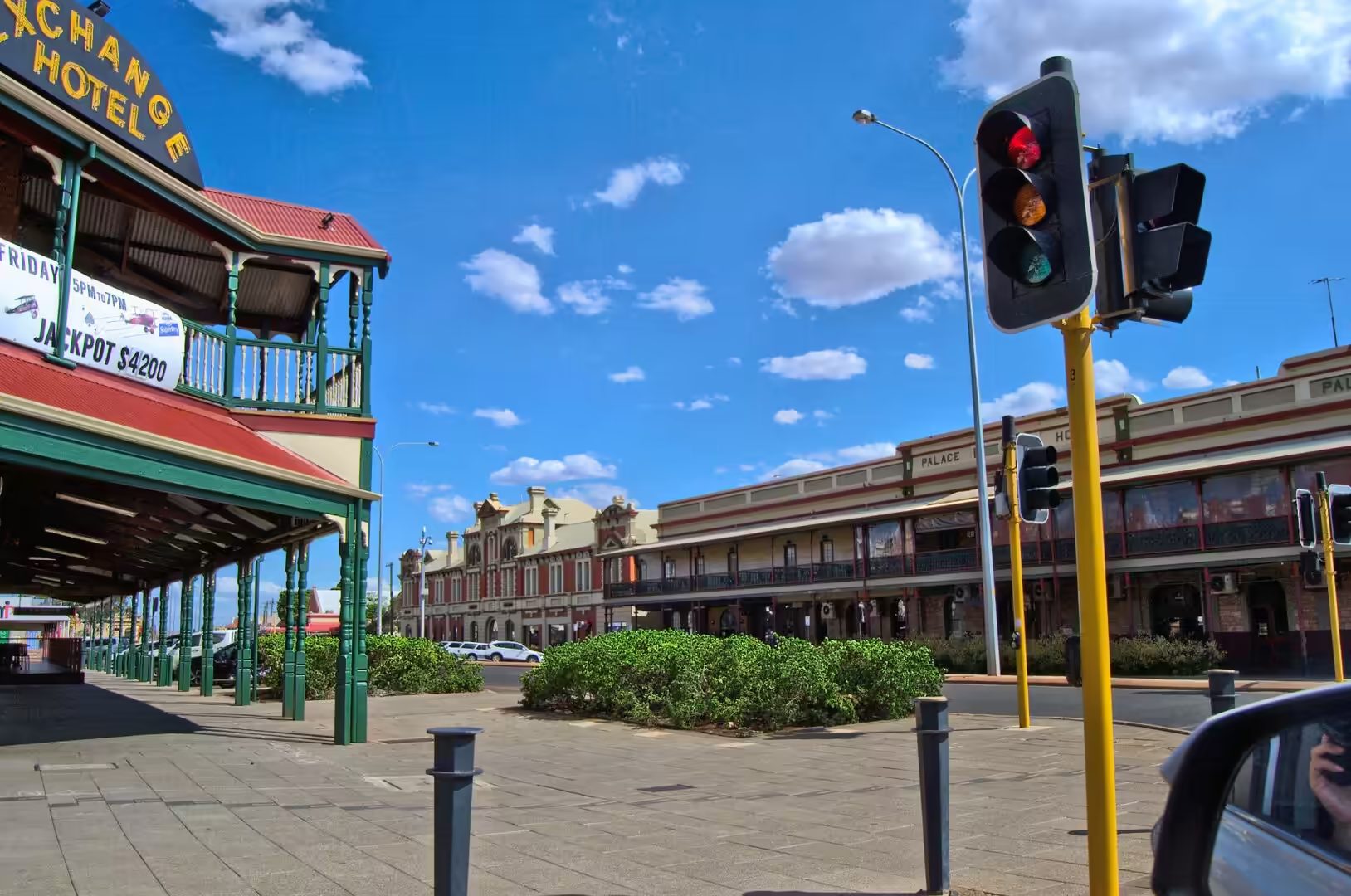
In the afternoon the road reached Kalgoorlie, where the streets are wide, the buildings of the 1890s stand between modern ones, and the sense of a city in the desert is immediate: an estimated urban population of twenty nine thousand people, water piped five hundred kilometres from the coast, and a gold mine on the edge of the town that has been worked for more than a century. The evening was spent in the main street, which is long, straight and full of the history of the gold rush.
The twenty first day’s drive is the longest of the final week and it passes through country that has been worked for gold for a hundred and twenty years. Old shafts and mullock heaps stand beside modern open pits, the ruins of mills are visible from the road, and the towns between the mines are small, quiet and full of buildings from the boom. The signs at the turn offs carry the names of places that exist on the map and consist of a hotel and a cemetery, and the experience of the day is as much historical as it is scenic.
History
The figures at Lake Ballard are the work of Antony Gormley, the British sculptor who won the Turner Prize, and they were installed in 2003 as part of Inside Australia, a commission for the fiftieth anniversary of the Perth International Arts Festival. Each of the fifty one sculptures is based on a laser scan of a local resident of Menzies, so that the people of the town stand on the lake as themselves, reduced to their outlines. The exhibition was intended to be temporary, the community asked for it to stay, and the figures have become the region’s most visited attraction.
Menzies, at the southern end of the lake, was a gold rush town of the 1890s and is now a village. At its peak it had thousands of residents, hotels, churches, a brewery and a railway, and the cemetery on the edge of town is the largest monument to the period: hundreds of graves of miners, children and pioneers, many of them unmarked or marked with ironwork that has rusted away. The road sign that points to both the lake and the cemetery is a fair summary of what the district has to offer.
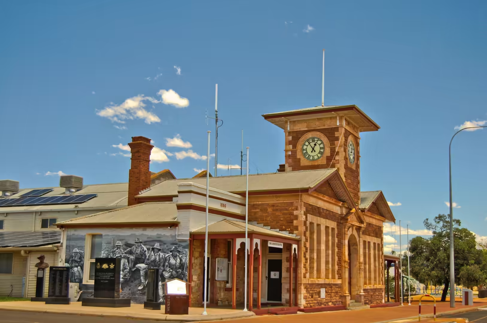
Kalgoorlie was founded in 1893 and grew faster than any town in the state. Gold was found at what became the Golden Mile, the discoveries at Coolgardie and Kalgoorlie followed within months of each other, and the population that poured in turned a waterless stretch of the interior into a city within a decade. Kalgoorlie replaced Coolgardie as the largest settlement on the Eastern Goldfields, and it has remained the capital of the region ever since, with the court house, the town hall and the hotels of the boom still in use.
The city’s existence depended on water, and the solution to that problem is one of the great engineering projects of the period. The Goldfields Water Supply Scheme pumps water from the dams near Perth along a pipeline more than five hundred kilometres long to Kalgoorlie, and it was built at the turn of the twentieth century by a state government that was prepared to spend a fortune on the survival of its mining industry. The pipeline still operates, and the trail that follows it is now a tourist route in its own right. Without it, there would be no city here at all.
The gold rush that created these towns was one of the last great rushes of the nineteenth century, and it brought people from every part of the world to a waterless district in a matter of months. The miners came from the exhausted fields of Victoria and New Zealand, from Britain, Germany, Italy, Scandinavia, China and the United States, and the towns they built had churches in a dozen denominations, newspapers in several languages and a labour movement that was strong enough to win an eight hour day before most of the world had one. The cosmopolitan character of the Goldfields today has its roots in that decade.
Geology
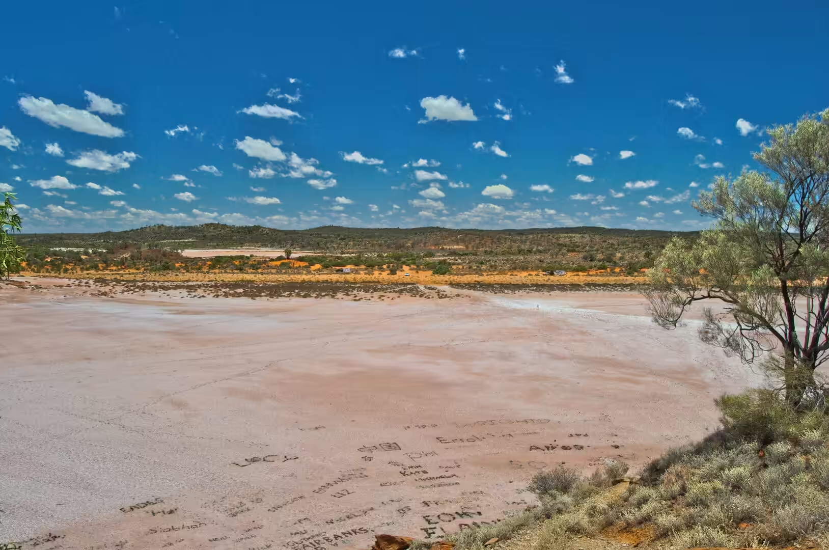
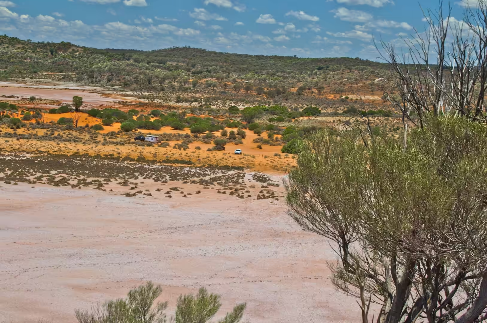
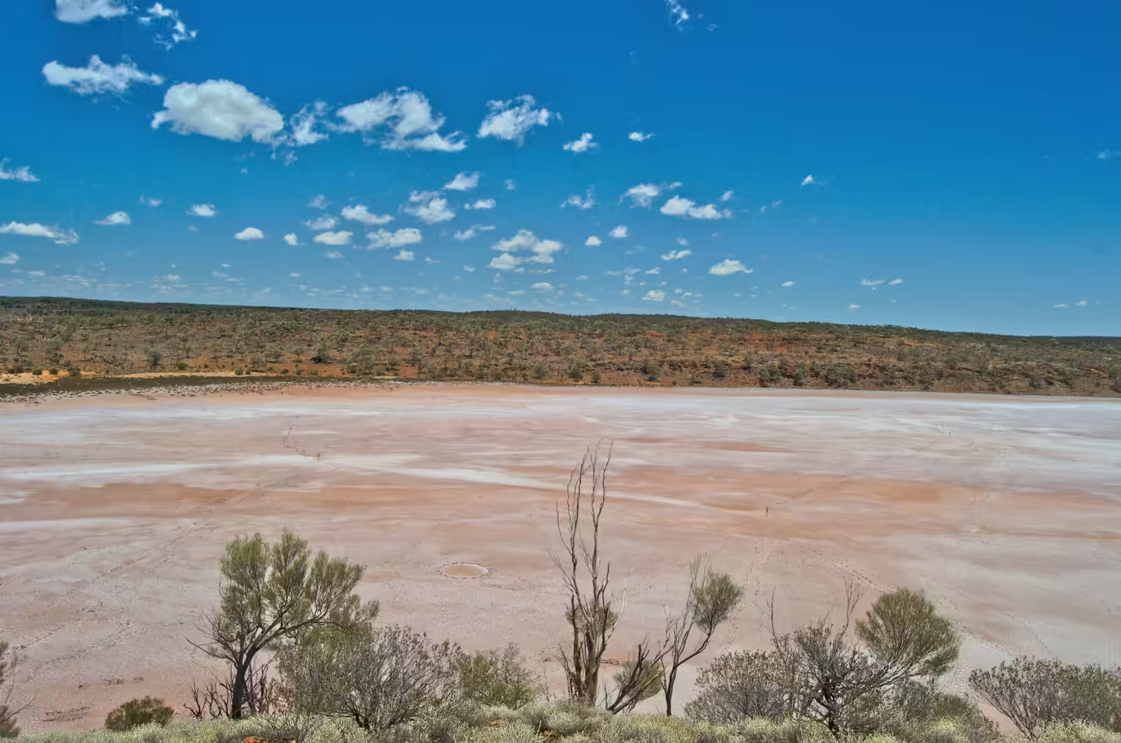
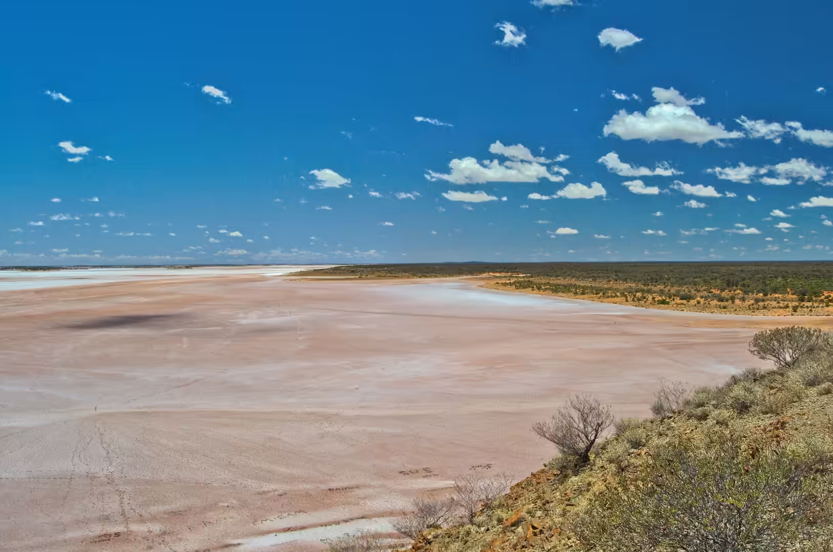
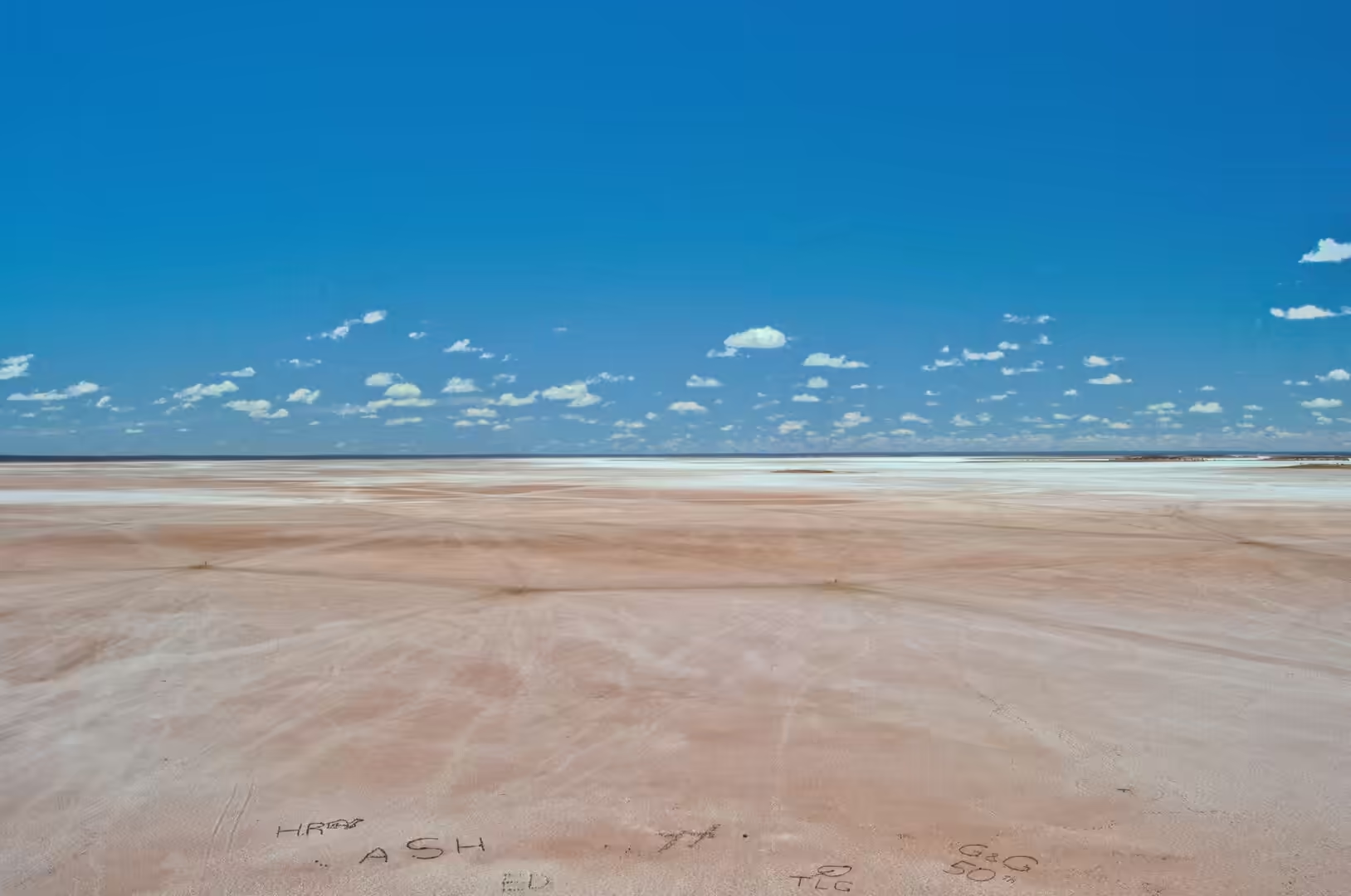
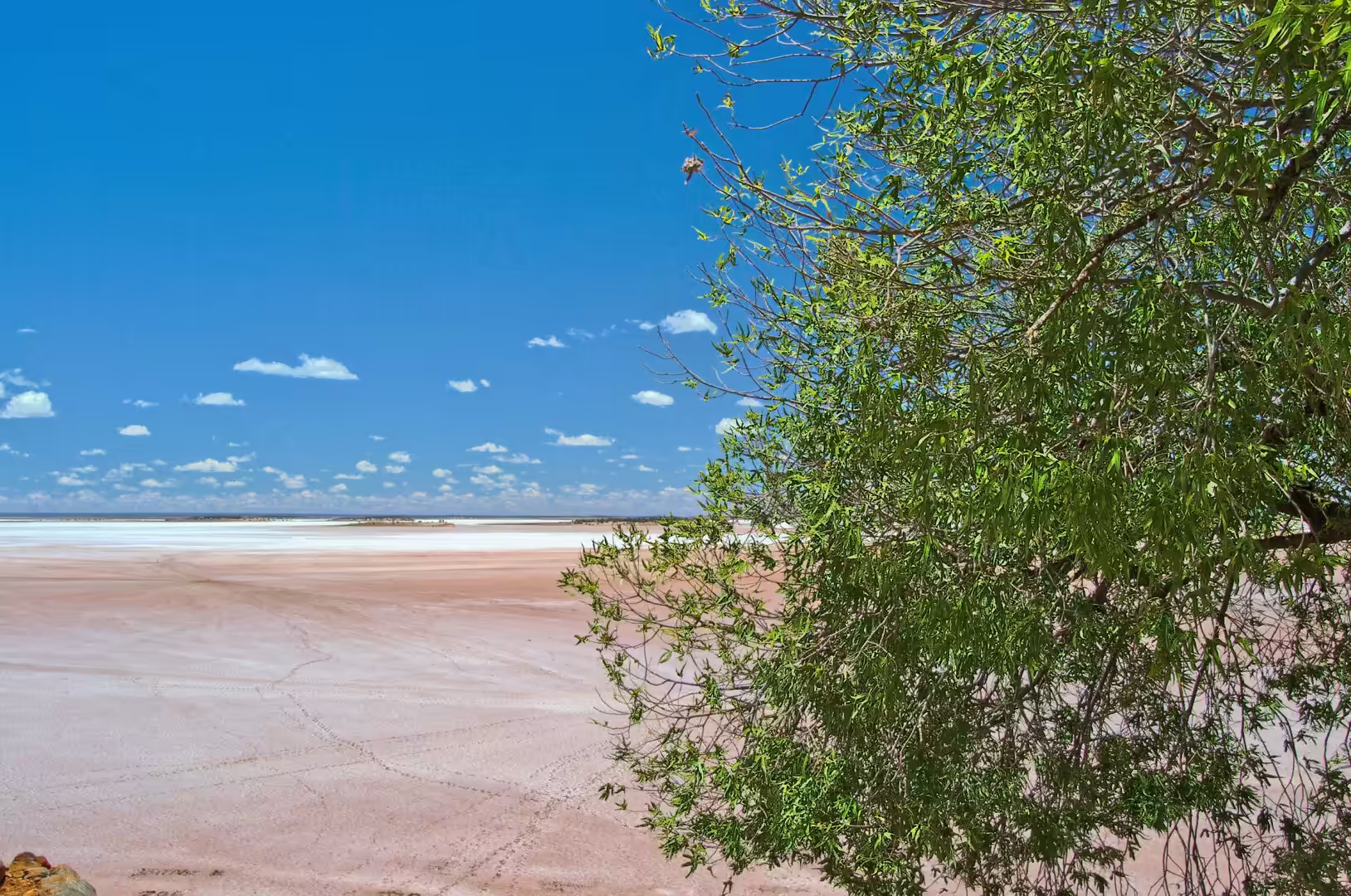
The lake at Ballard is an ephemeral salt lake: it holds water after rain, it dries out within weeks, and its surface is a crust of salt and clay over a wet or damp base. The colour varies from white through grey to pink, and the pink is caused by microorganisms that thrive in the brine, the same class of single celled organisms that colour the salt works and the flamingo lakes of other continents. The crust is thin, brittle and easily marked, which is why the names and dates scratched into it by visitors are visible from a distance, and why walking on it leaves a track that lasts for months.
The flatness of such a lake is a product of its origin. The pan is the lowest point of a catchment that has no outlet, the sediments that collect in it are laid down in thin horizontal sheets, and the surface is levelled by the water each time it fills. This is why the salt lakes of the interior are used for land speed records and why they appear in satellite images as sheets of uniform colour: they are among the flattest surfaces that nature produces on a continental scale.
The gold that made Kalgoorlie is a product of the same ancient geology as the gold at Leonora, and the deposits of the Golden Mile are among the richest ever found. The ore there was unusual in containing tellurium as well as gold, which made the recovery difficult until the metallurgists of the 1890s worked out how to treat it, and the mines of the Golden Mile produced a large share of the state’s wealth for decades. The open cut that replaced most of them, the Super Pit, was for many years the largest open cut gold mine in the country, and its benches are visible from the town.
The water that the mines and the city use comes from far away, and the geology of that arrangement is as interesting as the mines themselves. The coastal plain near Perth holds groundwater in sand and limestone aquifers, the dams of the Darling Range collect the rainfall, and the pipeline delivers both to a district where the rainfall is a fraction of the coastal figure. The scheme is a man made river, and the fact that it has been running for more than a century is a reminder of how much of the interior of this state depends on engineering for its existence.
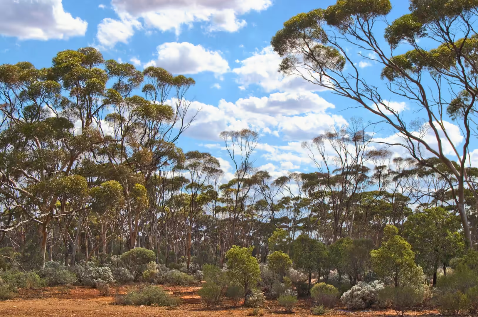
The soils of the Goldfields are dry, salty and thin, and the vegetation that covers them reflects the difficulty of extracting a living from them. The mulga and the saltbush of the plains are drought tolerant to a degree that has no equivalent in wetter climates, the eucalypts along the drainage lines are deep rooted, and the annual wildflowers of the district, which appear after winter rain, are among the great botanical spectacles of the continent. A landscape that looks empty from the road is carrying a full community of plants and animals, all of them waiting for water.
Things to See
Lake Ballard is best visited in the early morning or the late afternoon, and it is worth planning a night nearby to do it. The walk out to the figures takes half an hour or more depending on which ones are visited, the lake is hot and glaring in the middle of the day, and the light at the ends of the day is what makes the place: the figures cast long shadows across the salt, the colours of the lake change from white to pink to grey, and the silence is complete apart from the wind.
The sculpture walk is not waymarked in the way a city trail would be, and that is part of the experience. A visitor walks onto the lake and picks a figure to aim for, then another, and the crossing between them is empty salt on every side. The figures are spread over ten square kilometres, so seeing all fifty one in one visit is a serious undertaking, and most people see a handful and sit with them for a while, which is what the work seems to invite.
The Menzies cemetery and the town are worth an hour on the way out. The town has a hotel that still serves meals, a shire office, and a collection of buildings that includes the old railway station, and the cemetery on the hill above it is a sobering place with a view over the flats. The road from there to Kalgoorlie runs through country of low hills, salt lakes and scrub, and the first sight of the city, with its towers and its mine, is a surprise after two hundred kilometres of emptiness.
Kalgoorlie itself needs a day to do properly. The main street has the hotels, the town hall and the mining exchange, the museum covers the gold rush and the engineering that made the city possible, and the lookout over the Super Pit is one of the few places in the world where a working gold mine of that size can be seen from a public platform. There is a tram that runs a heritage route in the season, a brothel museum that is famous in a way that requires no explanation, and a brewery that has been making beer in the desert for more than a century.
The drive from Kalgoorlie back to the coast is the last long stretch of the journey, and it is a good place to take stock. The road runs west through the wheatbelt, past the towns that the pipeline serves and the huge grain silos that stand beside the railway, and the country becomes greener with every hour. The contrast with the salt lakes and the spinifex of the morning is the point of the journey: the same state, the same latitude and the same sun, with two entirely different economies attached to them.
References
- Wikipedia contributors (2026). Kalgoorlie. en.wikipedia.org/wiki/Kalgoorlie
- Wikipedia contributors (2026). Lake Ballard. en.wikipedia.org/wiki/Lake%20Ballard
- Wikipedia contributors (2026). Antony Gormley. en.wikipedia.org/wiki/Antony%20Gormley
- Wikipedia contributors (2026). Yilgarn Craton. en.wikipedia.org/wiki/Yilgarn%20Craton
- Wikipedia contributors (2026). Super Pit gold mine. en.wikipedia.org/wiki/Super%20Pit%20gold%20mine
- Wikipedia contributors (2026). Menzies, Western Australia. en.wikipedia.org/wiki/Menzies%2C%20Western%20Australia
- Wikipedia contributors (2026). Goldfields-Esperance. en.wikipedia.org/wiki/Goldfields-Esperance
- Wikipedia contributors (2026). Leonora, Western Australia. en.wikipedia.org/wiki/Leonora%2C%20Western%20Australia
- Wikipedia contributors (2026). Gwalia, Western Australia. en.wikipedia.org/wiki/Gwalia%2C%20Western%20Australia
- Wikipedia contributors (2026). Meekatharra. en.wikipedia.org/wiki/Meekatharra
- Wikipedia contributors (2026). Cue, Western Australia. en.wikipedia.org/wiki/Cue%2C%20Western%20Australia
- Wikipedia contributors (2026). Western Australia. en.wikipedia.org/wiki/Western%20Australia
- McDivitt J.A., Hagemann S.G., Baggott M.S., Perazzo S. (2020) Chapter 12: Geologic Setting and Gold Mineralization of the Kalgoorlie Gold Camp, Yilgarn Craton, Western Australia. Geology of the World’s Major Gold Deposits and Provinces. 251-274. doi.org/10.5382/sp.23.12
- Weinberg R.F., van der Borgh P. (2008) Extension and gold mineralization in the Archean Kalgoorlie Terrane, Yilgarn Craton. Precambrian Research. 161. 77-88. doi.org/10.1016/j.precamres.2007.06.013
- McDivitt J.A., Hagemann S.G., Kemp A.I., Thébaud N., et al. (2021) U-Pb and Sm-Nd Evidence for Episodic Orogenic Gold Mineralization in the Kalgoorlie Gold Camp, Yilgarn Craton, Western Australia. Economic Geology. doi.org/10.5382/econgeo.4892