Stage 4 of 24
Day 4 - Pinnacles National Park
















Journal Notes
General
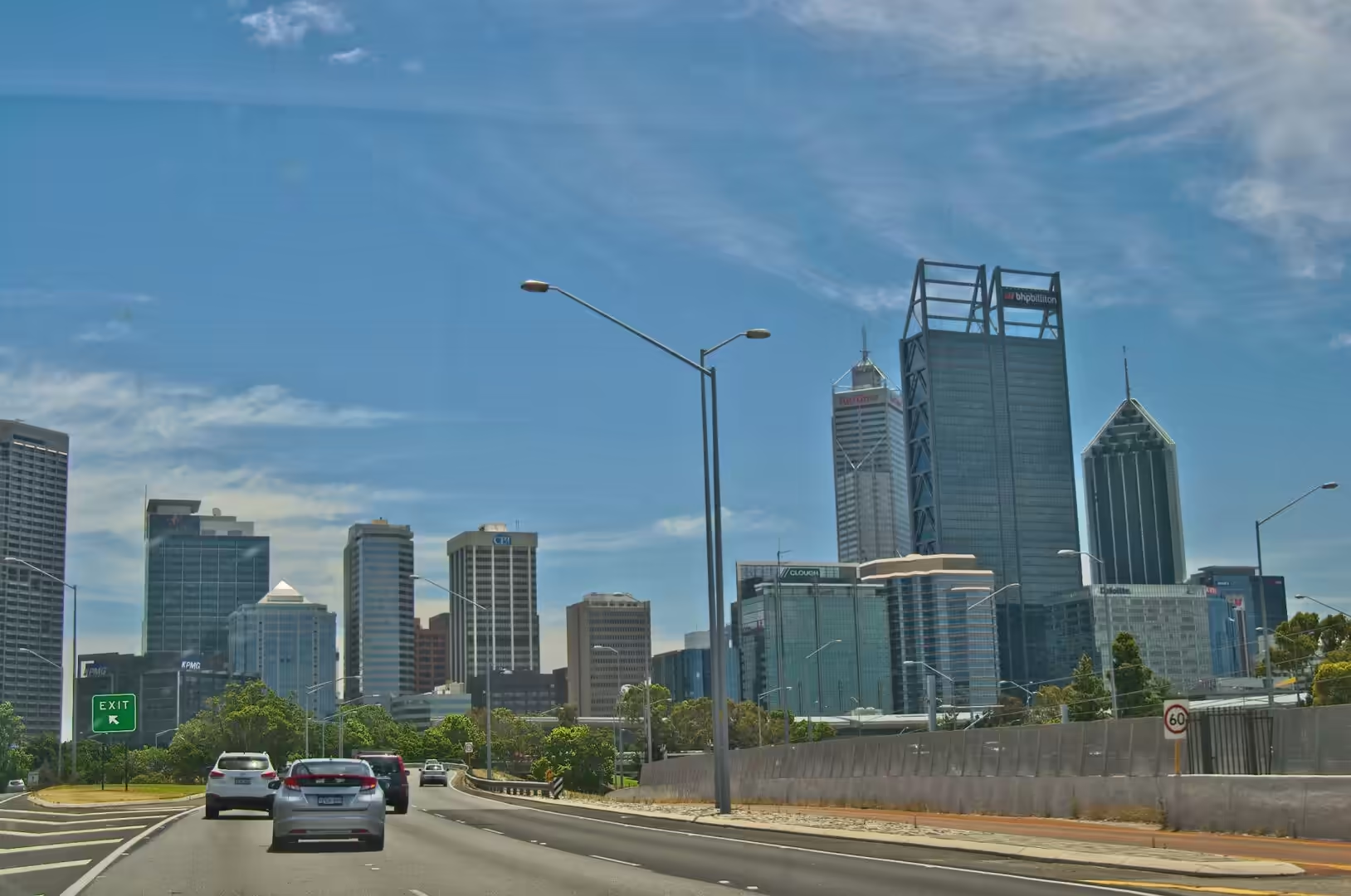
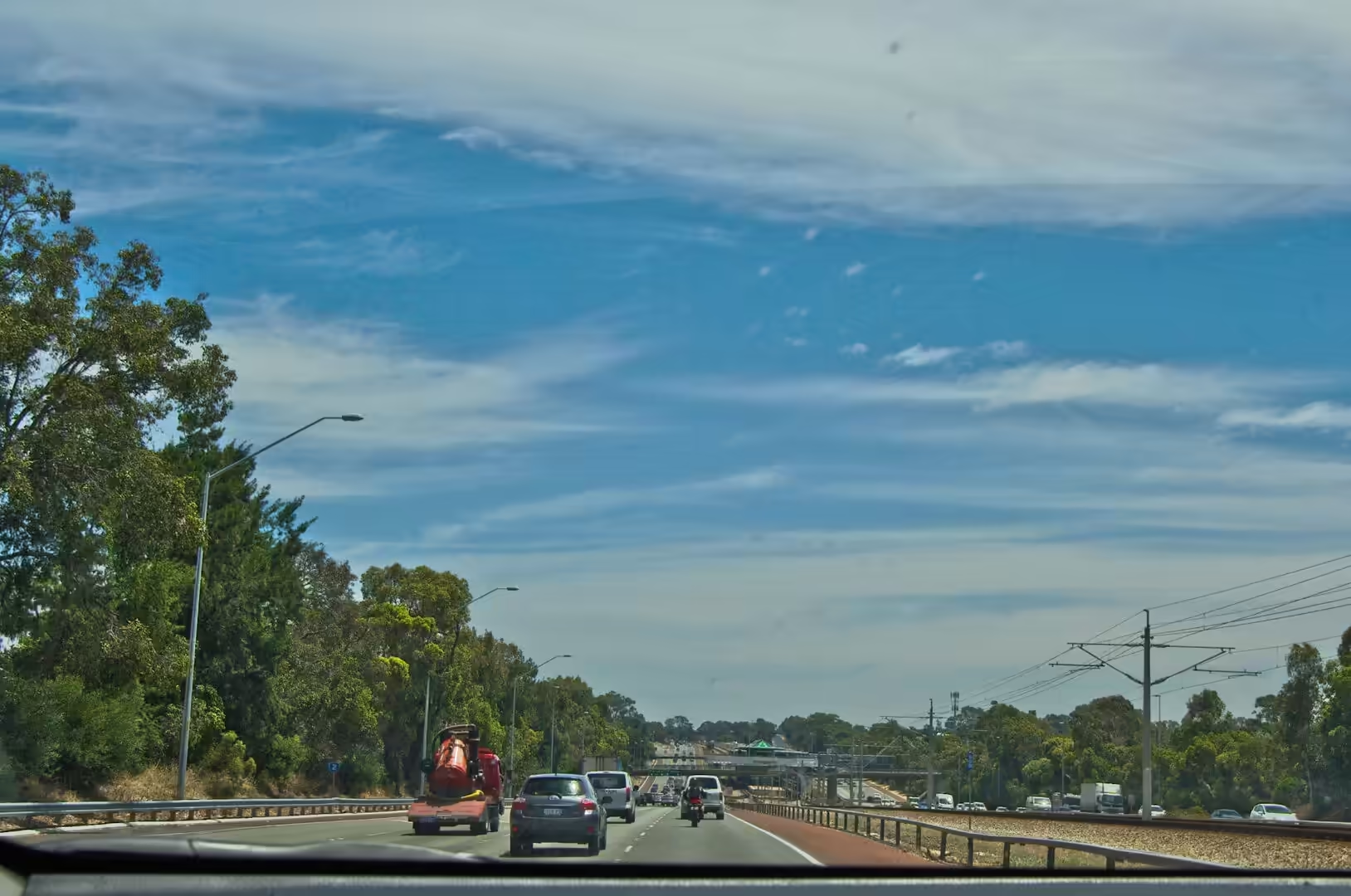
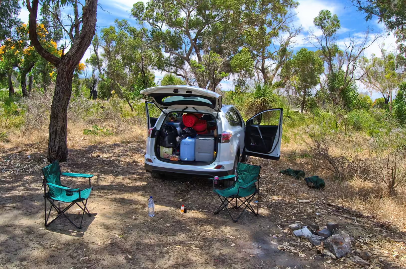
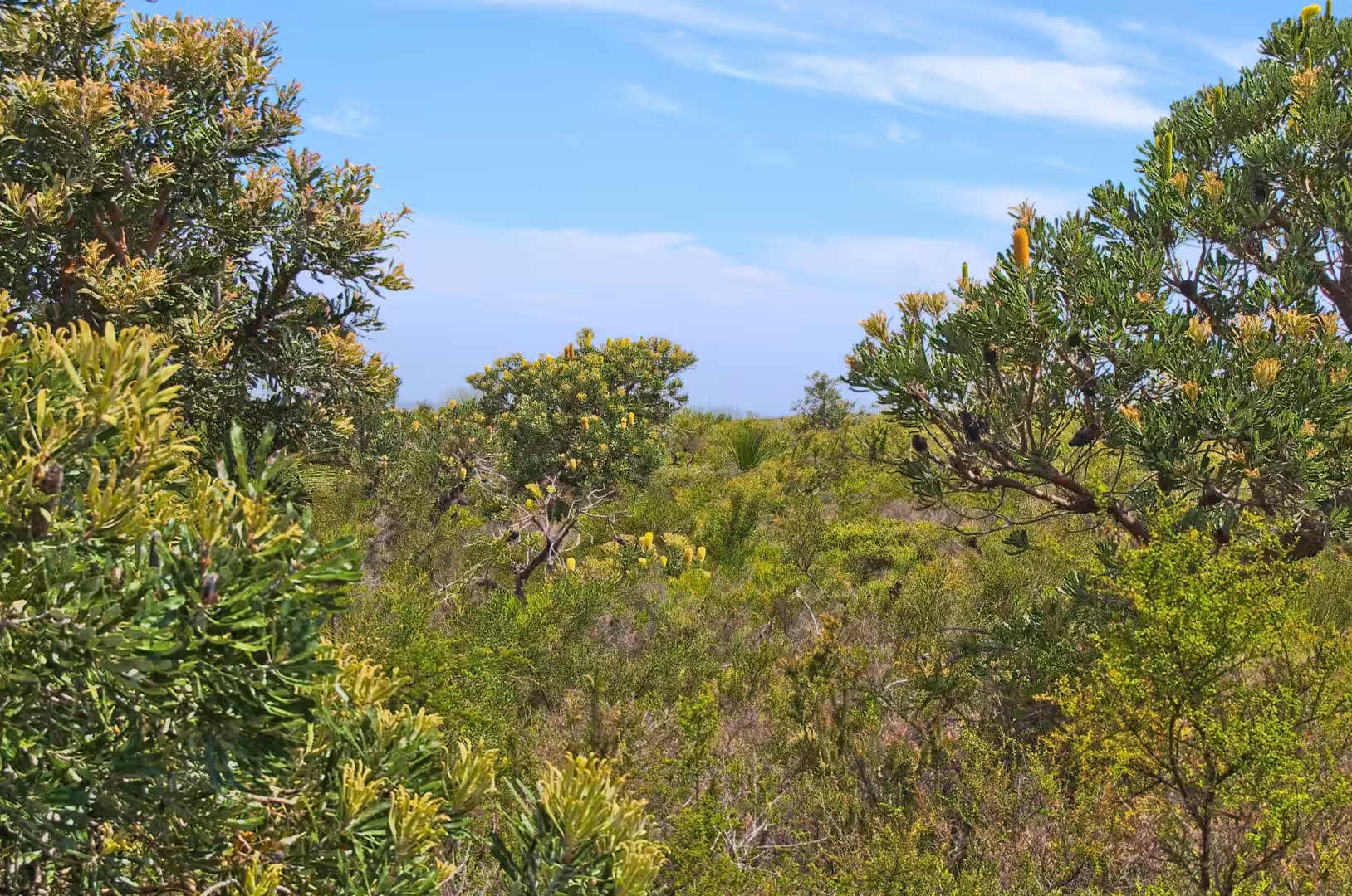
The fourth day began in Perth and ended among sand dunes with no town for twenty kilometres in any direction. The highway north leaves the city between new apartment blocks and building sites, crosses the coastal plain where the suburbs thin out into paddocks, and then runs for hour after hour through low bush that is yellow with blossom in December. At a rest area the tailgate of the hired four wheel drive came down, the camp chairs came out, and the first proper meal of the road trip was cooked on a gas burner beside a parking bay.
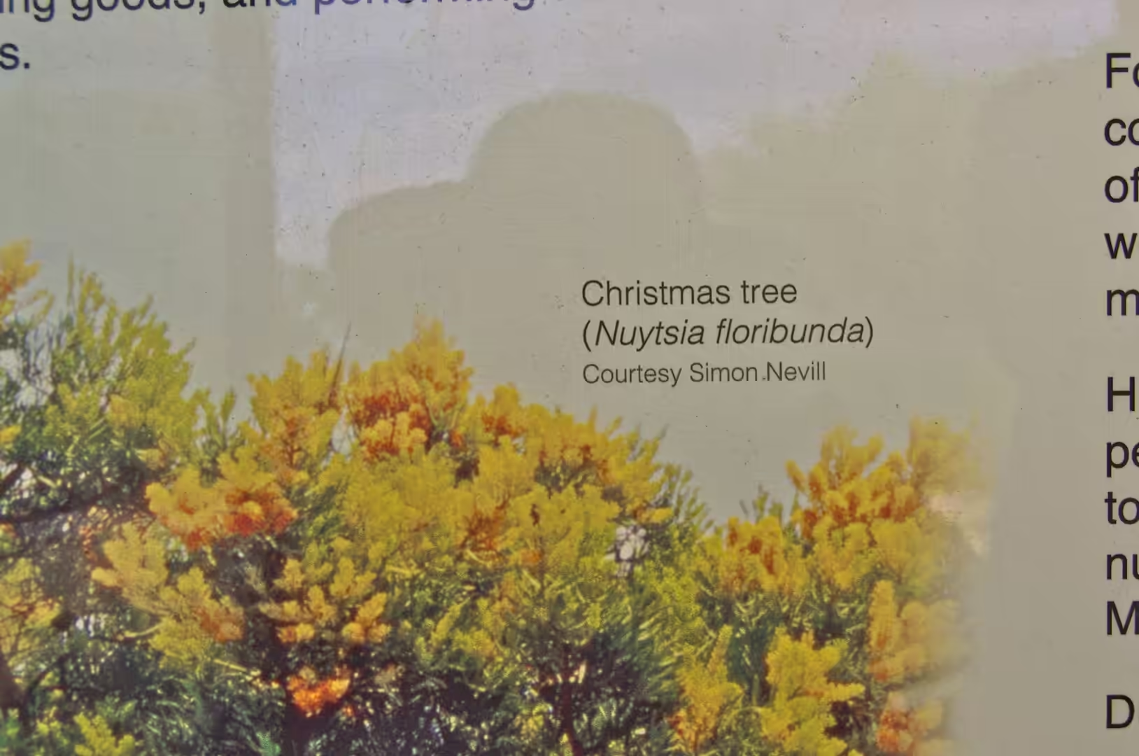
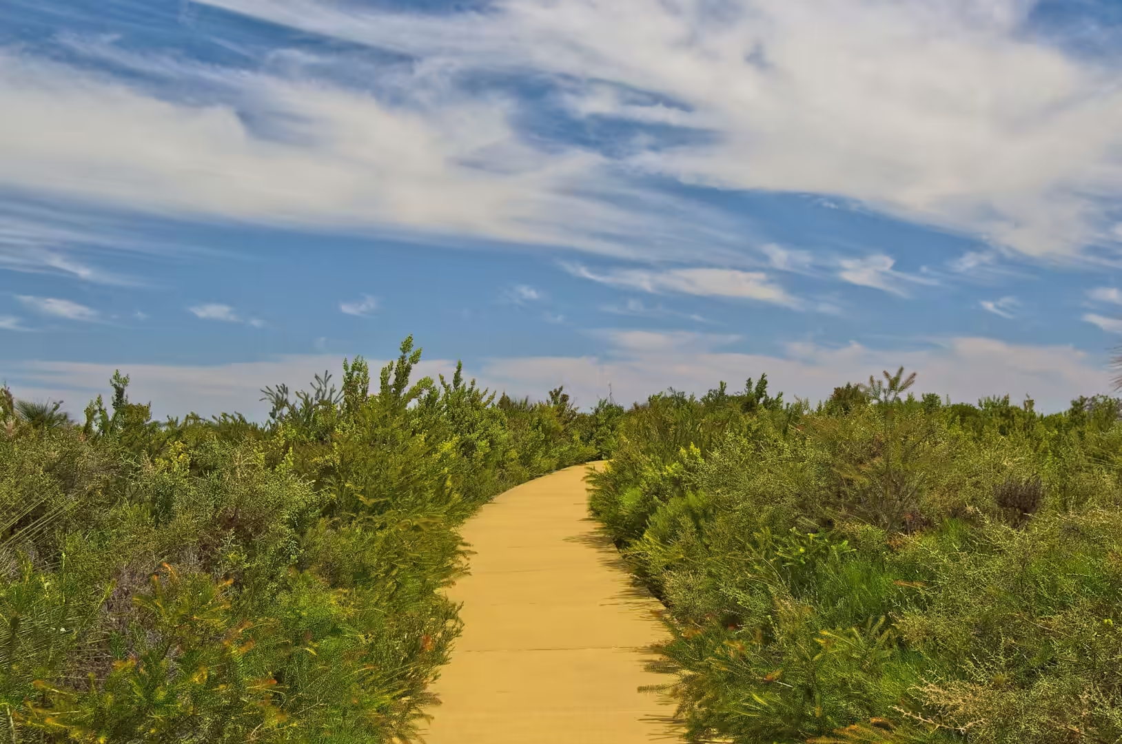
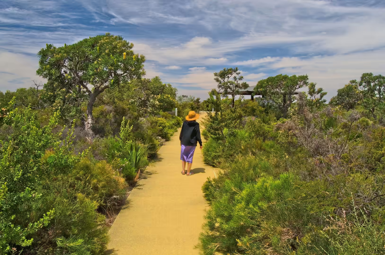
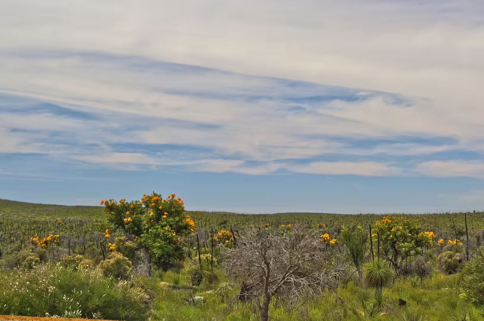
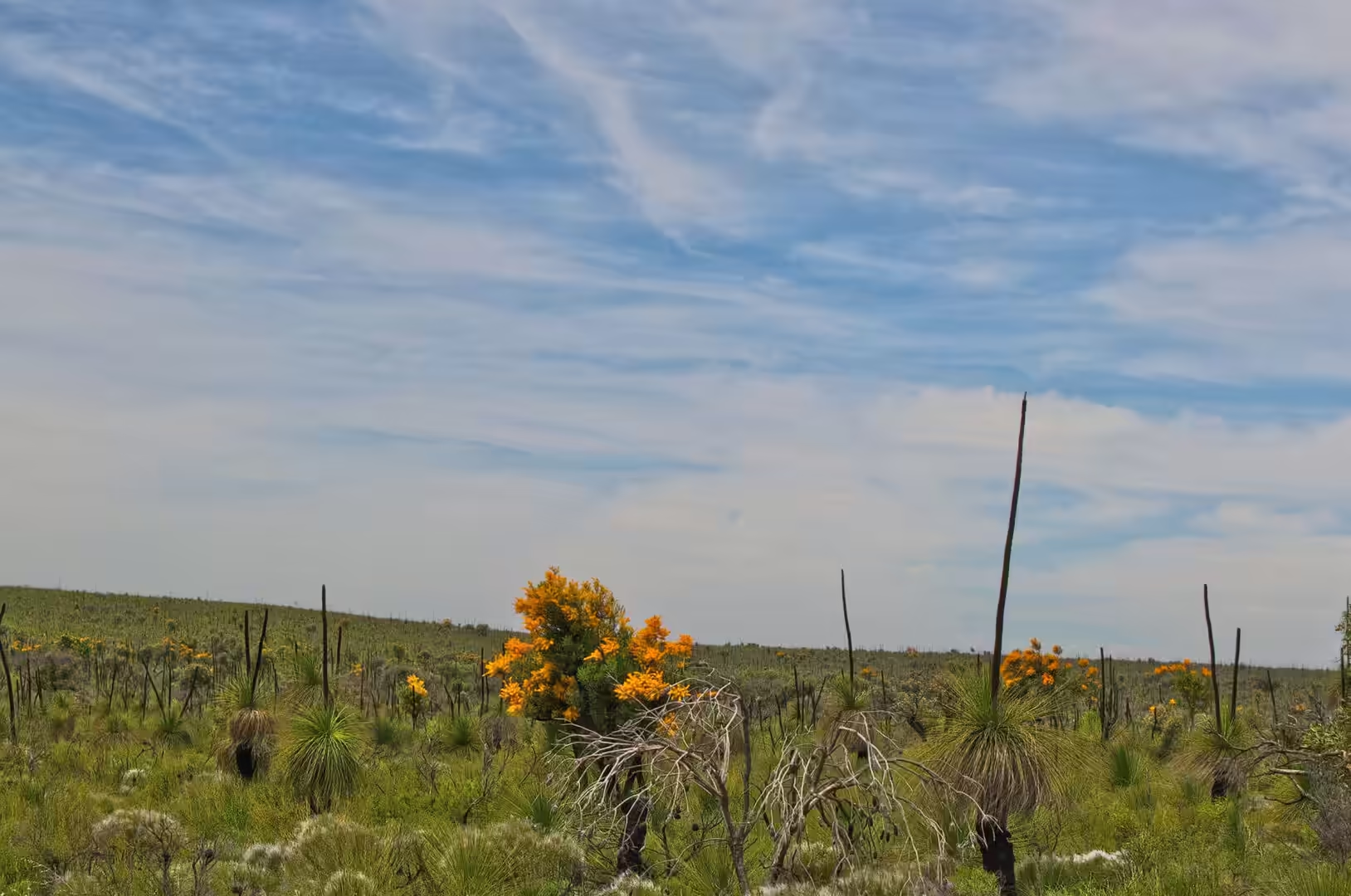
This is the country that the word bush is made for. It is not forest and it is not desert: it is a low, dense, immensely varied scrubland that grows on deep sand, flowers for months of the year and hides most of its wildlife from anyone travelling at speed. An interpretive sign beside the path explained the Christmas tree, Nuytsia floribunda, a plant that lives as a parasite on the roots of its neighbours and then covers itself in orange blooms in the middle of summer. The name is exactly right, because Christmas in Australia falls in the hottest part of the year.
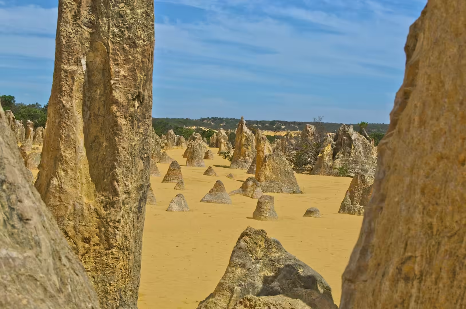
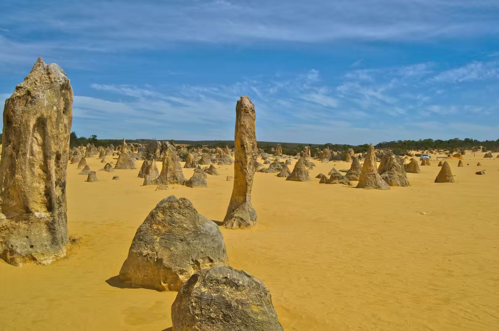
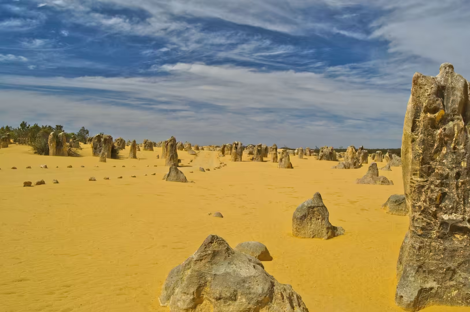
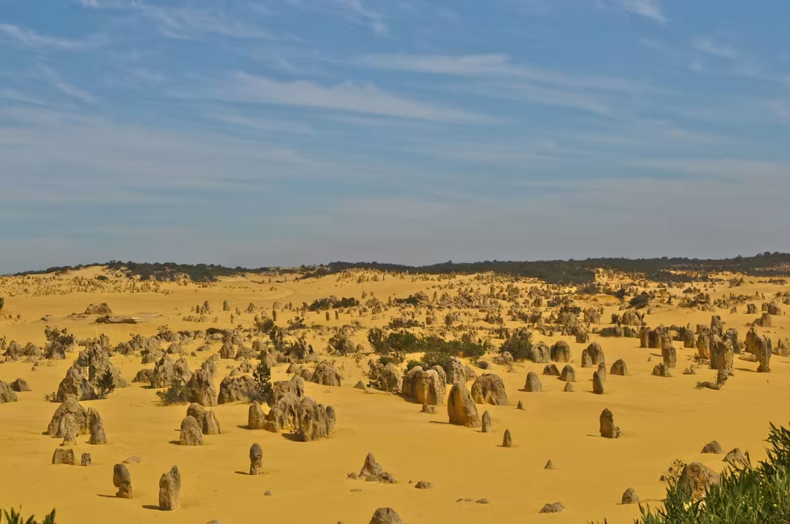
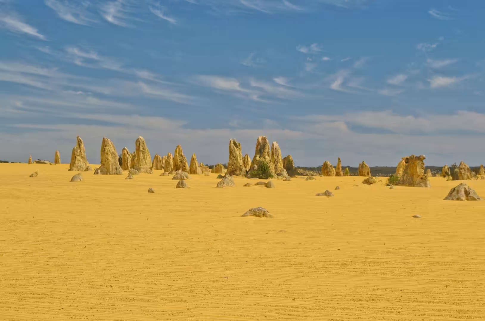
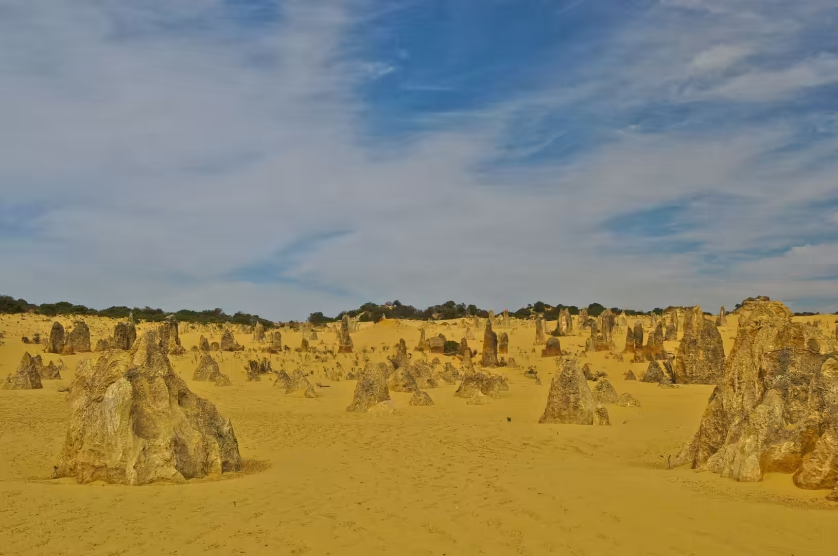
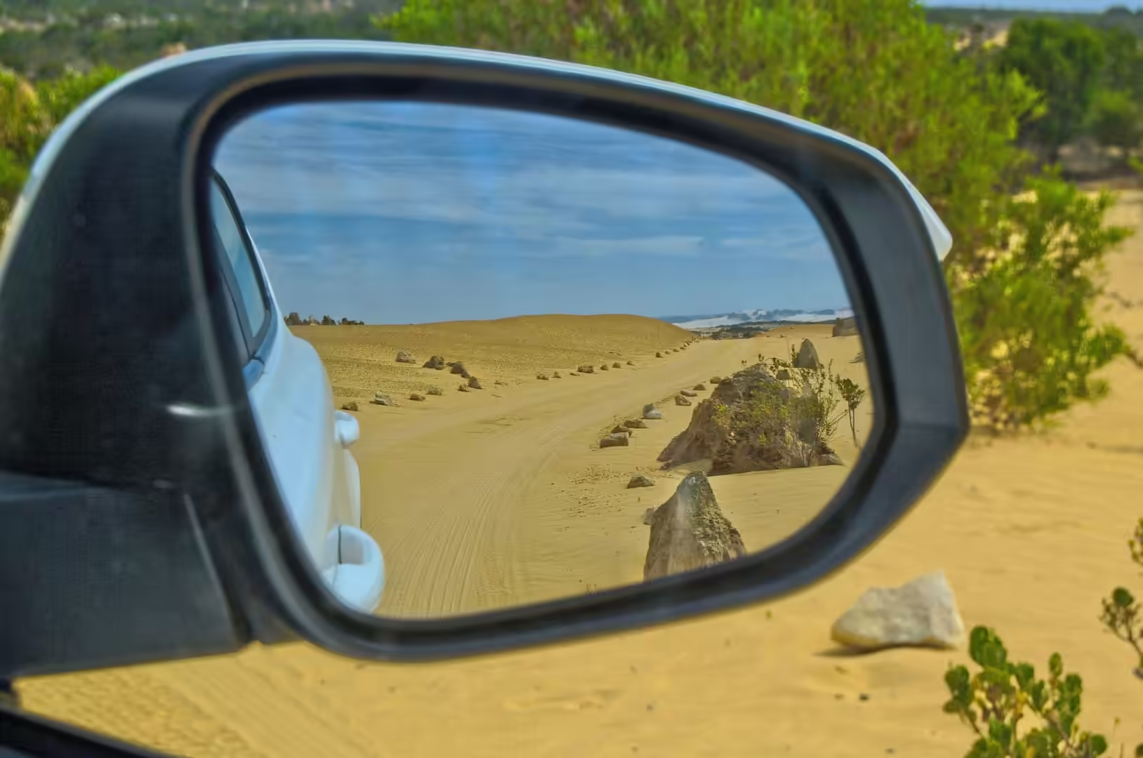
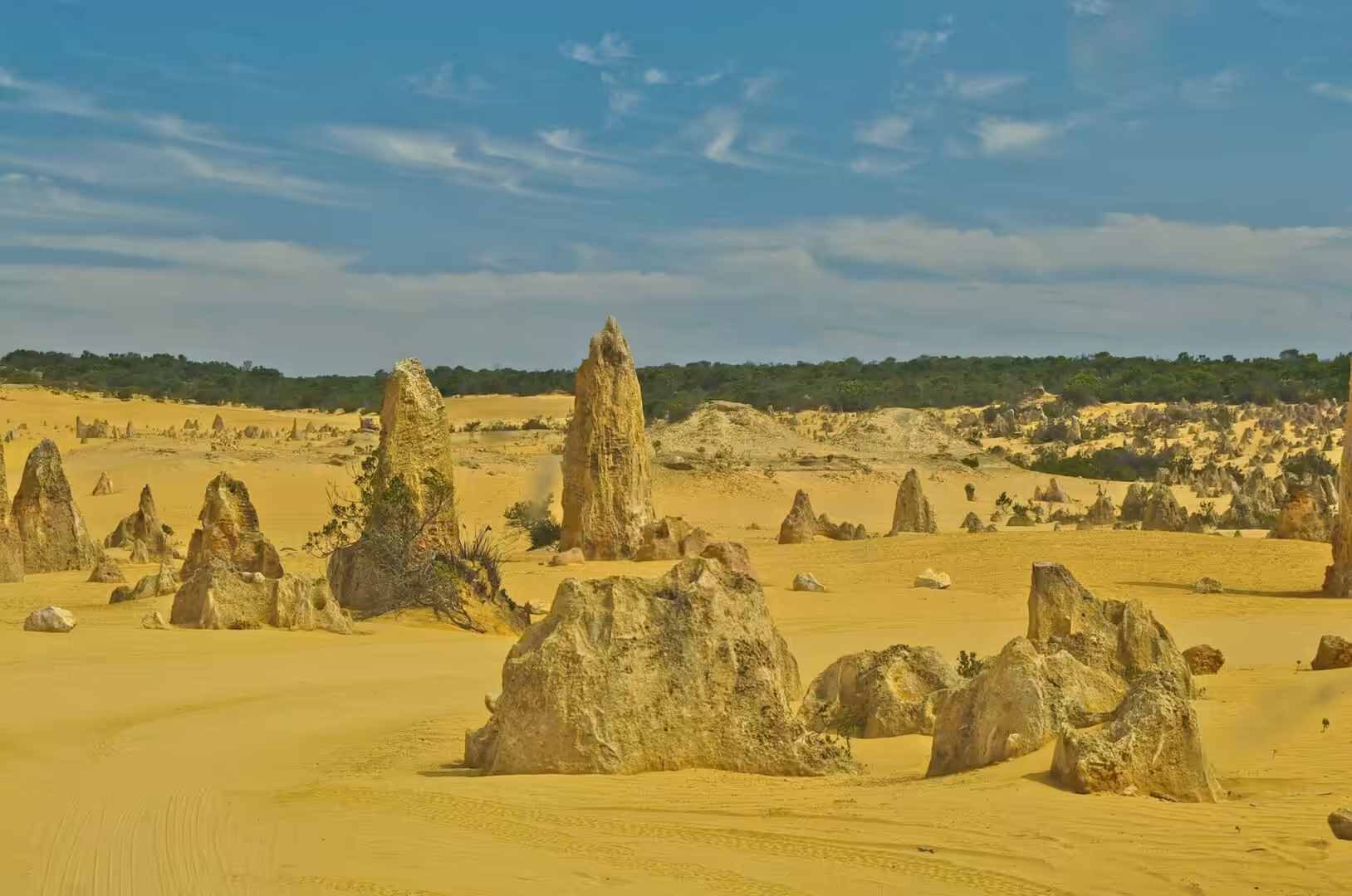
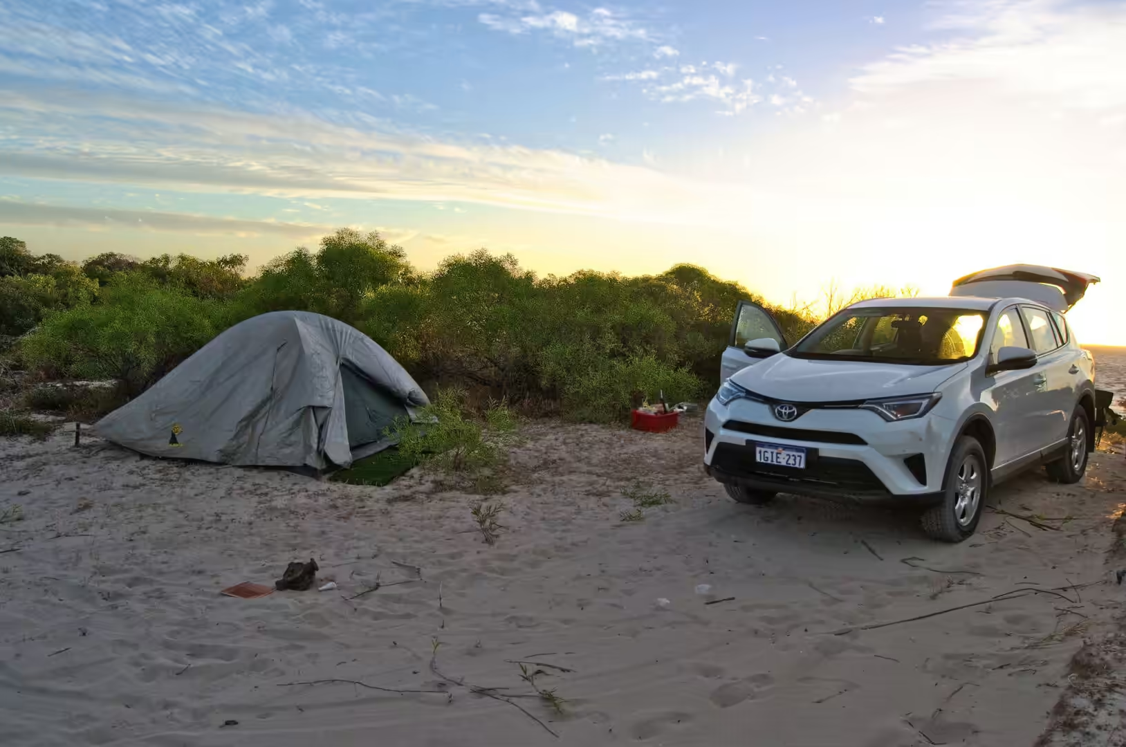
By late afternoon the road reached the Pinnacles, and the walk among them took the rest of the light. There are thousands of them, standing in the yellow sand at every angle, from ankle height to well above a person, and the place has the quality of a ruin that nobody built. Afterwards the car was parked on the dunes a little further north, a tent was pitched on the sand, and the night sky arrived with the full weight of the southern hemisphere: no town lights, no aircraft, and the bright core of the Milky Way standing almost overhead.
The scale of the day is worth setting down, because it is the thing that no map conveys. The distance from Perth to the Pinnacles is around two hundred kilometres, most of it on a divided highway, and it takes the better part of three hours with a stop. Beyond Cervantes the road narrows, the fuel stops become roadhouses with a single pump, and the distances between them are measured in the fuel range of the car rather than in minutes. The camp that night was thirty kilometres from the nearest shop and nothing at all was missing from it.
History
The Pinnacles were known to few people for most of their history. The coast here was charted by European navigators in the seventeenth and eighteenth centuries, and a route through the bush had been described in journals by 1820, but the field of limestone pillars inland from the beach stayed out of sight until a survey party reached it in 1934. Three separate reserves were gazetted in 1956, 1967 and 1968, and in July 1994 they were combined into Nambung National Park. The name comes from an Aboriginal word for the place, and the park now protects about two hundred square kilometres of coast, dunes and heath.
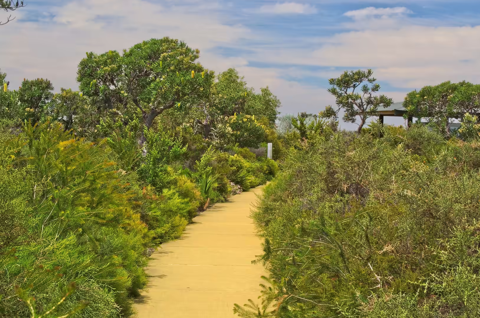
The visitor arrangements are typical of the state’s national parks. There is a marked walk through the pinnacles, a longer drive through the desert, picnic shelters among the heath and a boardwalk at Lake Thetis where thrombolites, the cousins of the stromatolites of Shark Bay, grow in the shallows. Camping is not allowed inside the park itself, which is why the night was spent on the dunes of a neighbouring reserve, but the township of Cervantes seventeen kilometres to the north has fuel, a caravan park and a small fishing fleet.
What the place needed to become famous was a road and a good story, and it got both. The Indian Ocean Drive, the coastal highway that now links Perth with the north, put the Pinnacles within a day’s drive of a million people, and the way the pillars look in the last of the light did the rest. In the middle of summer the car park at sunset holds a small crowd, and most of them drive back to Cervantes in the dark rather than stay for the stars.
The name of the park has been read as an Aboriginal word for the place, and the Western Australian names of the district mostly survive where the surveyors bothered to ask. The two coasts of the park, the northern beaches at Kangaroo Point and Hangover Bay and the southern boundary against the Wanagarren reserve, protect a strip of heath and dune that is continuous with the country either side of it. The park is small in Western Australian terms, about two hundred square kilometres against the millions of hectares of the interior, but it holds one of the few landscapes in the state that visitors recognise before they arrive.
The state protects this coast in layers, and the layers overlap. The beach between Kangaroo Point and Hangover Bay lies within the national park, the strip of water in front of it lies within a marine park, and the reserves behind the park boundary cover land that is too poor to farm and too rich in plants to clear. The result is a corridor for wildlife along a coast that would otherwise be divided into holiday blocks and paddocks, and the corridor is one of the reasons the heathland here still contains species that have disappeared from the settled country to the south.
Geology
The pinnacles are made of limestone, and the sand they stand in is made of the same material. Both come from the sea. The underlying rock of this coast is the Tamala limestone, an aeolianite that formed during the Pleistocene when carbonate sand was blown inland from the shore into dunes and then cemented by rainwater into hard rock. The same process built the coastline of Rottnest and the ridges under the suburbs of Perth, and it is still going on at the beaches, where the grains are shell fragments and the shells came from the shallow sea.
Why the limestone should stand in pillars is a question that has produced several explanations. The most widely repeated one has the pillars as the remains of a forest: calcrete formed around the roots and stems of plants, and wind then blew away the loose sand and left the harder casts standing. Other workers have pointed to the cross bedding visible in the pillars, the diagonal layering left by wind and water when the dune was deposited, and have argued that the cementing and the weathering simply attacked some parts of the dune more slowly than others. The pillars are young by geological standards, tens of thousands of years rather than millions, and the debate is still open.
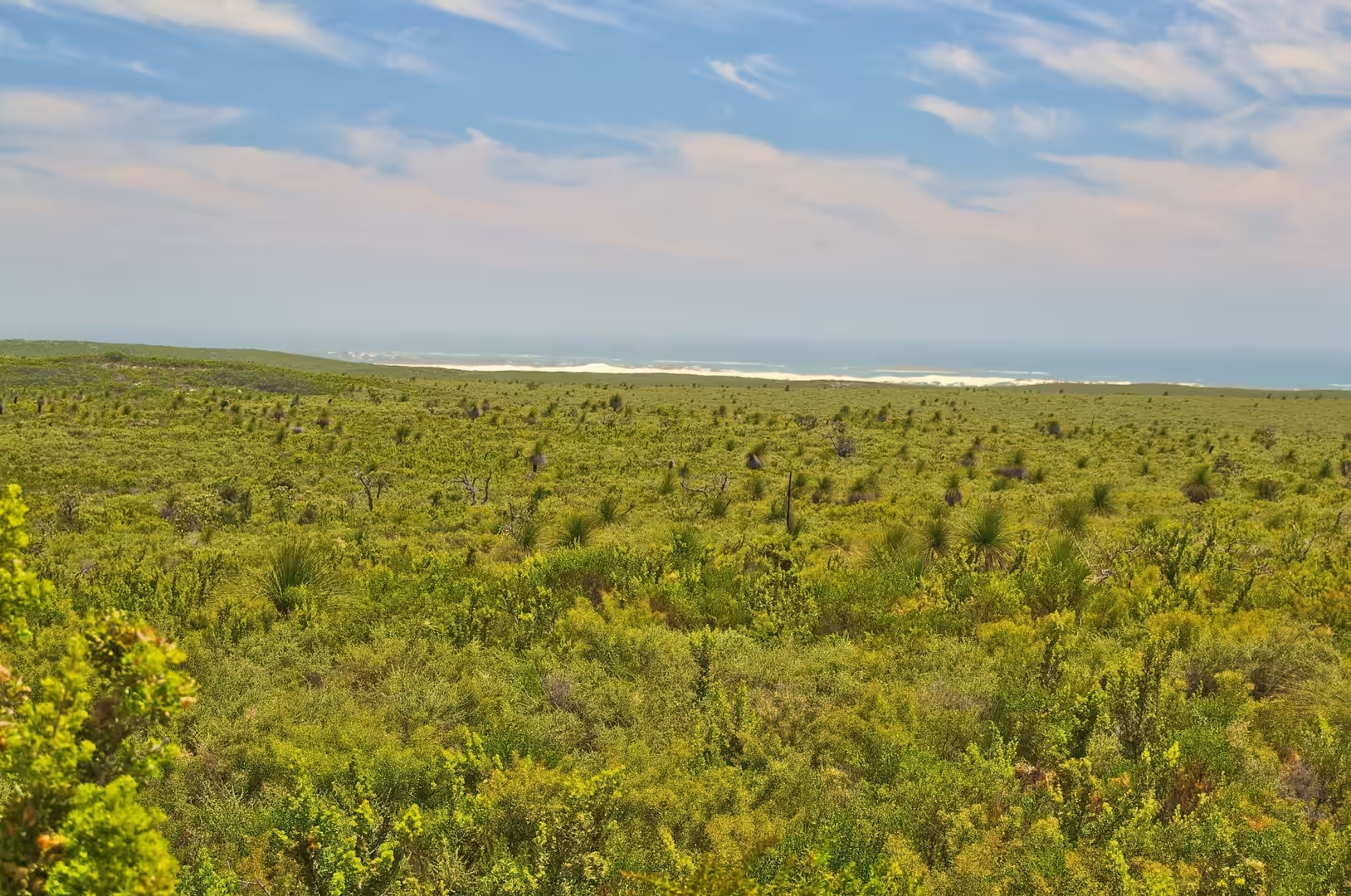
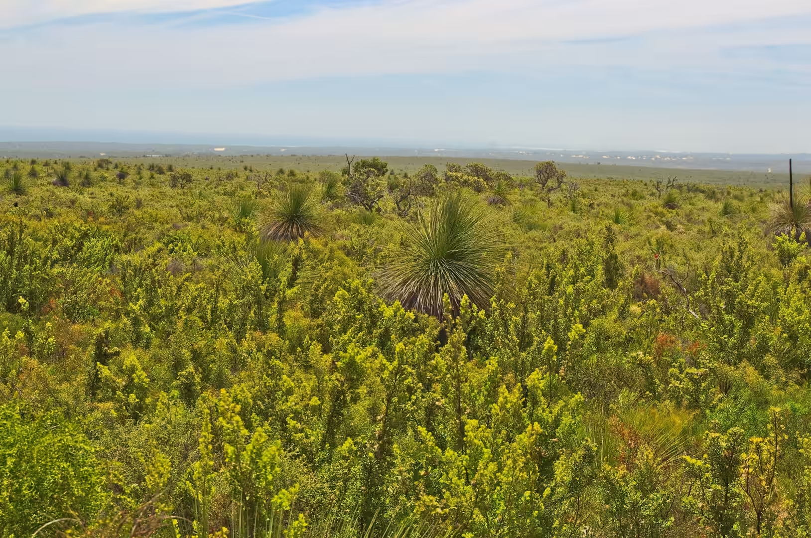
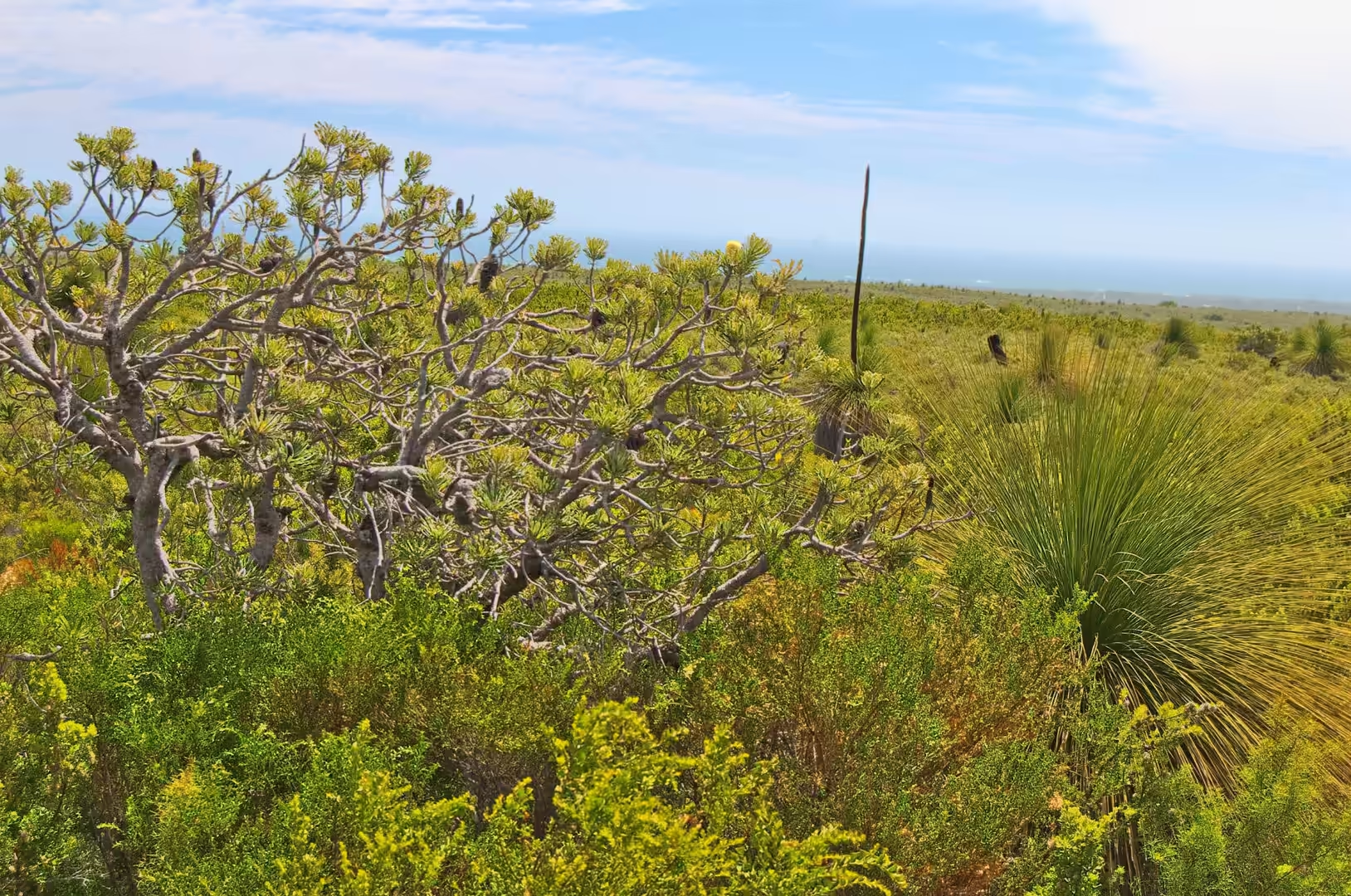
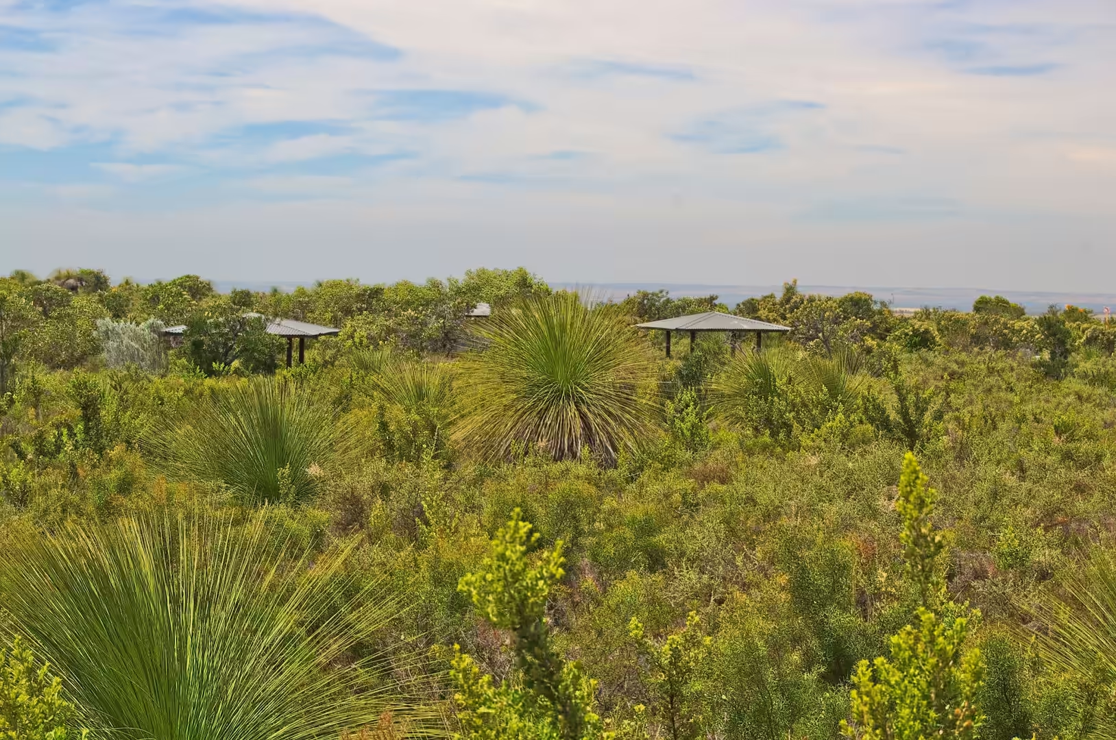
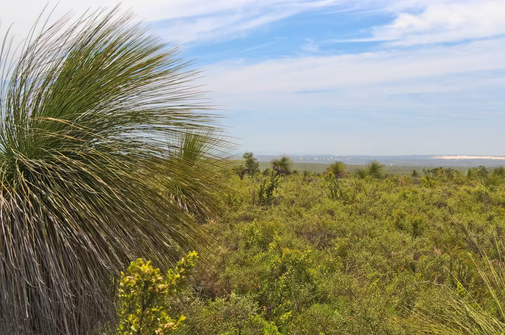
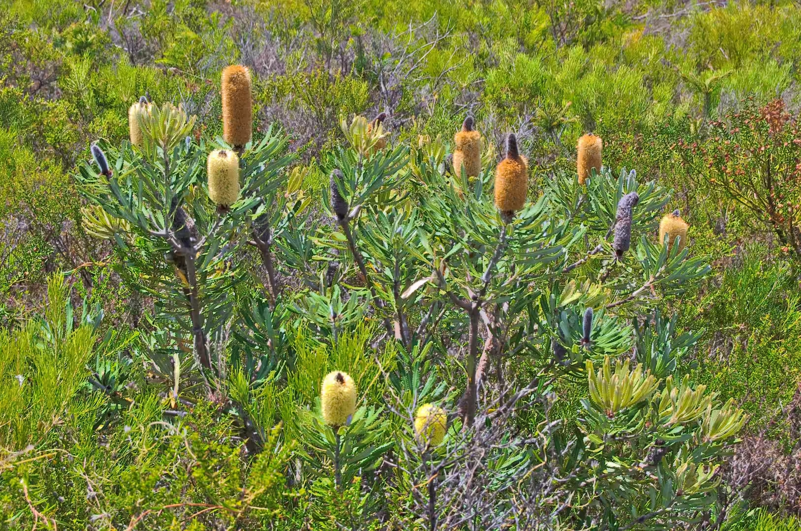
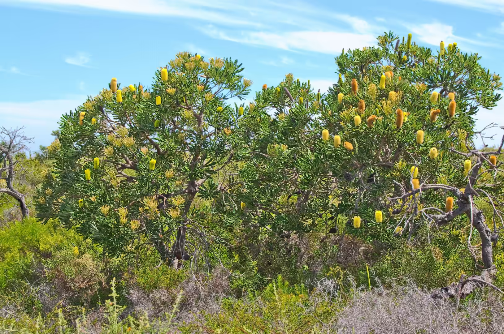
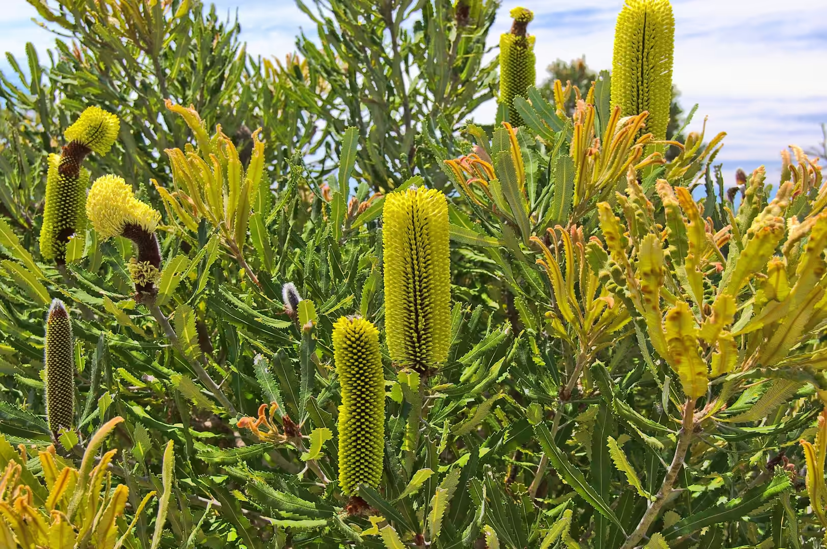
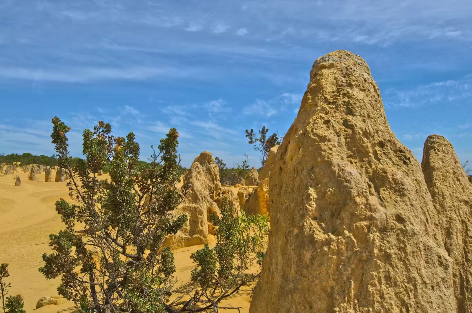
Around the pillars the heath grows on the poorest soil imaginable. The sand holds almost no nutrients and almost no water, and the plants that live on it have had to find other ways of getting both. Grass trees store energy in a thick underground stem and grow a metre of new leaf a year from a crown that looks like a fountain of spikes. Banksias hold their seed in woody cones that open only after a fire, and produce flowers in spikes that are made of hundreds of small blooms. Many of the shrubs are parasitic or symbiotic, taking water and nutrients from their neighbours through the soil, and a number of them flower in the heat of summer when very little else is in bloom.
The lake beside the park road is a different window onto the same geology. Lake Thetis is shallow, salty and fed by groundwater that has passed through limestone, and it contains thrombolites, structures built by microbial communities that trap and bind sediment. They are the reason for the boardwalk: the crusts are fragile, the water in which they grow is hypersaline and unpleasant to fall into, and the shapes they make are among the oldest kinds of evidence for life on the planet.
Storms do most of the work in the modern landscape. Winter swells from the north west, the remnants of tropical cyclones and the ordinary trade of the sea all attack the coast, and the sand that is removed from one beach is deposited on another. The dunes behind the beach are the accumulation of that sand over thousands of years, mobile while bare, stable when the heath has taken hold, and the whole system shifts slowly landward as the sea rises. The pinnacles, whatever their exact origin, are the product of the same long negotiation between wind, water and time, exposing harder ground and burying it again.
Things to See
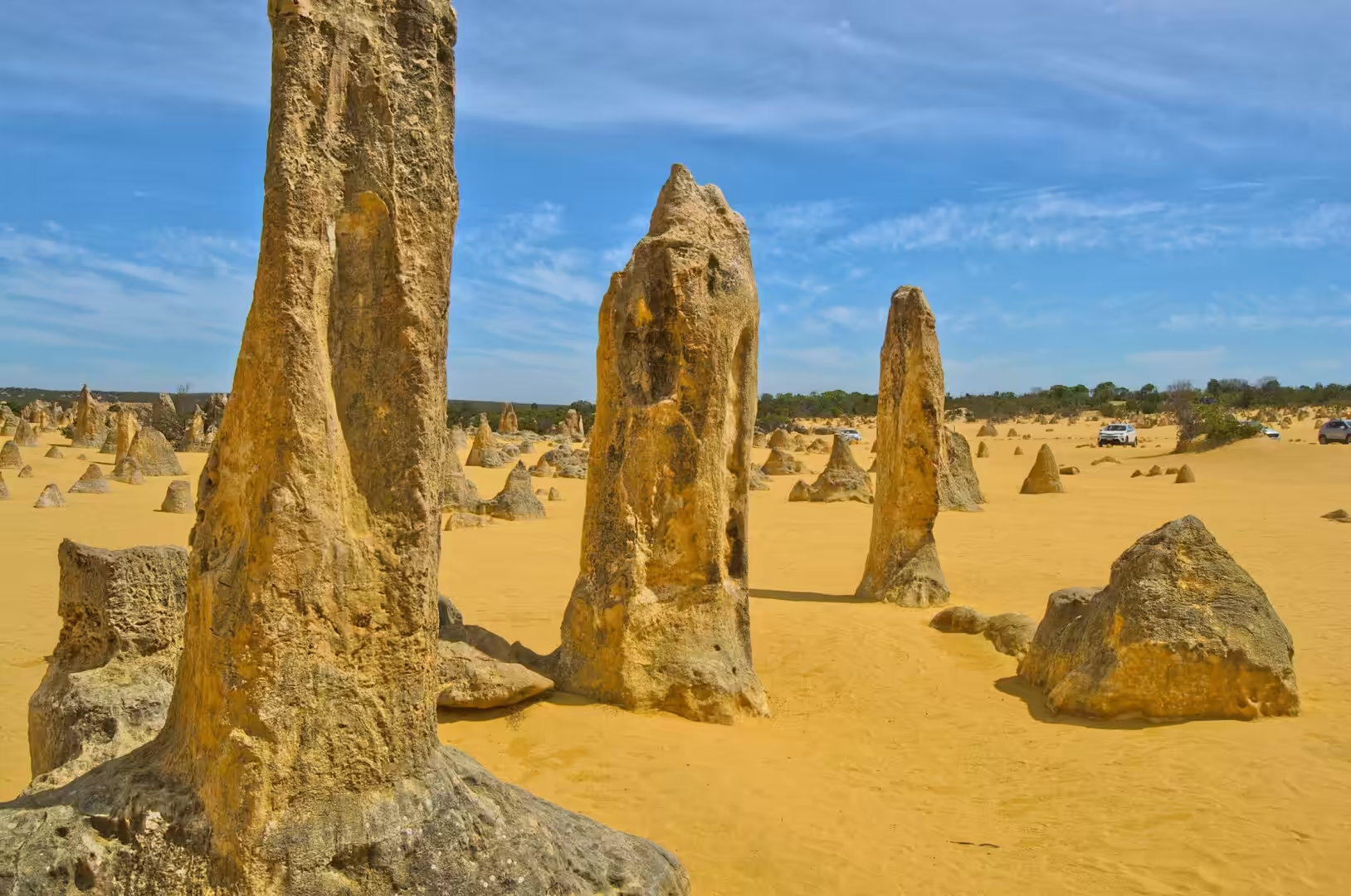
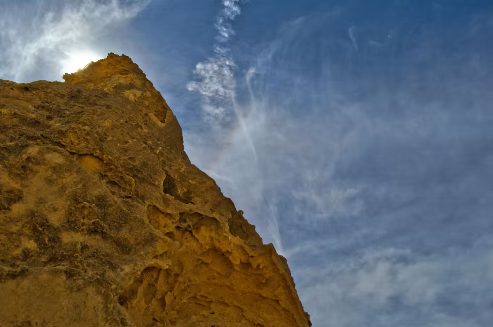
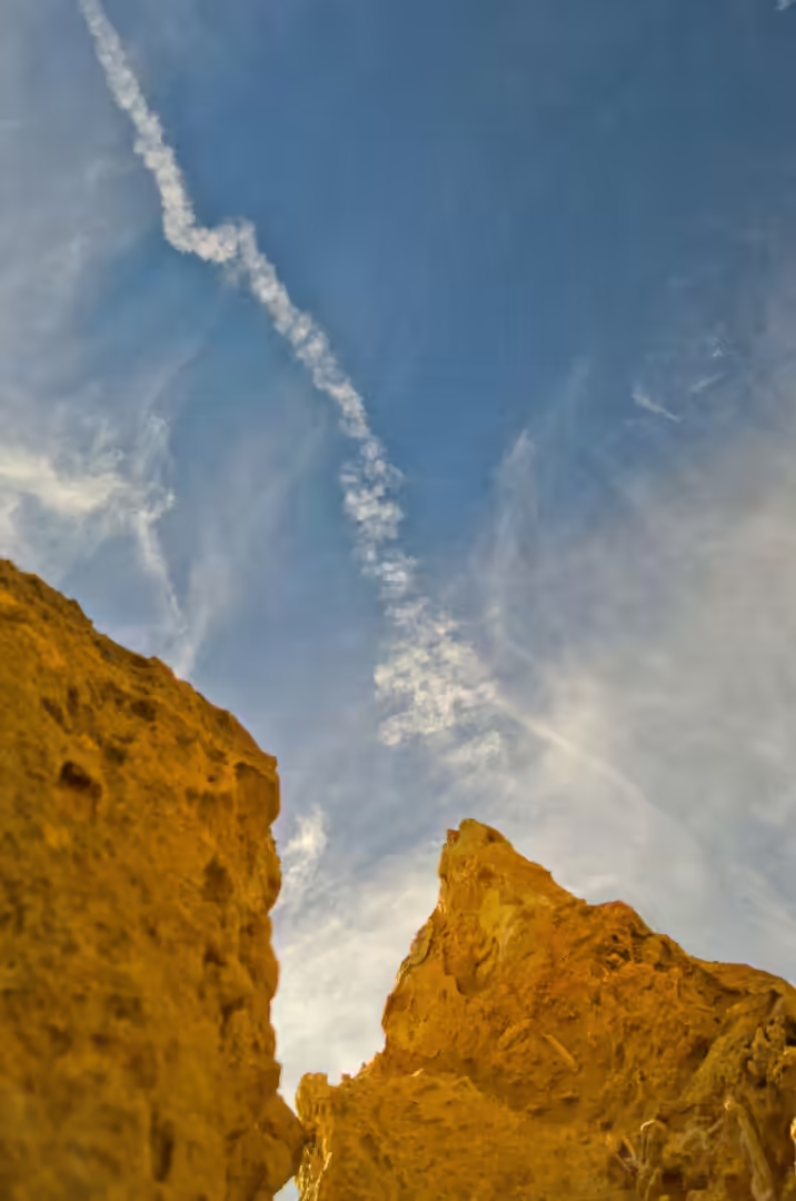
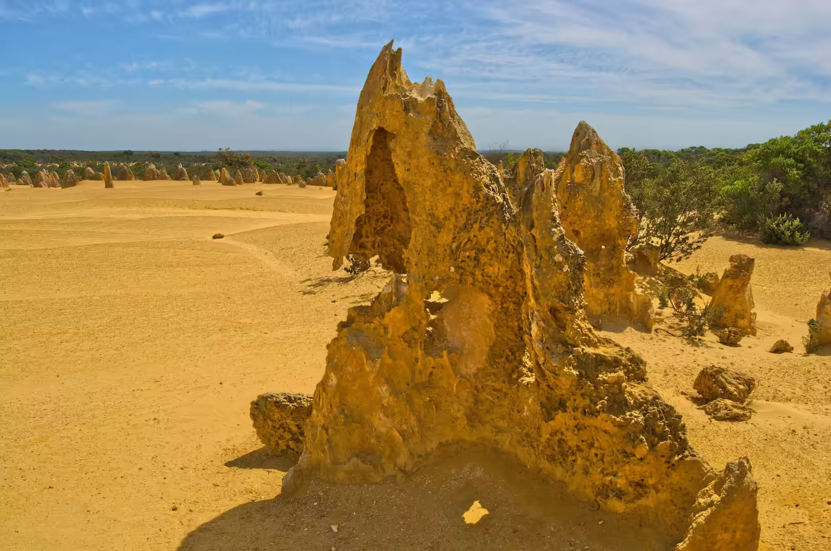
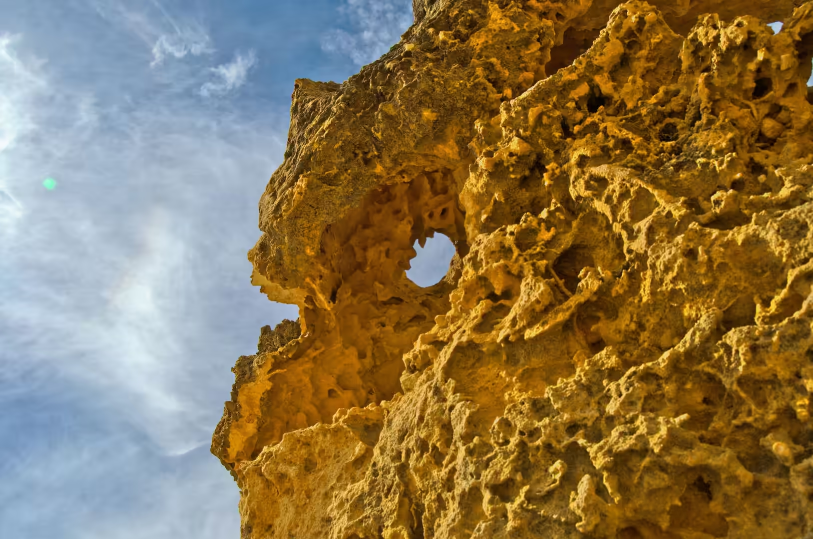
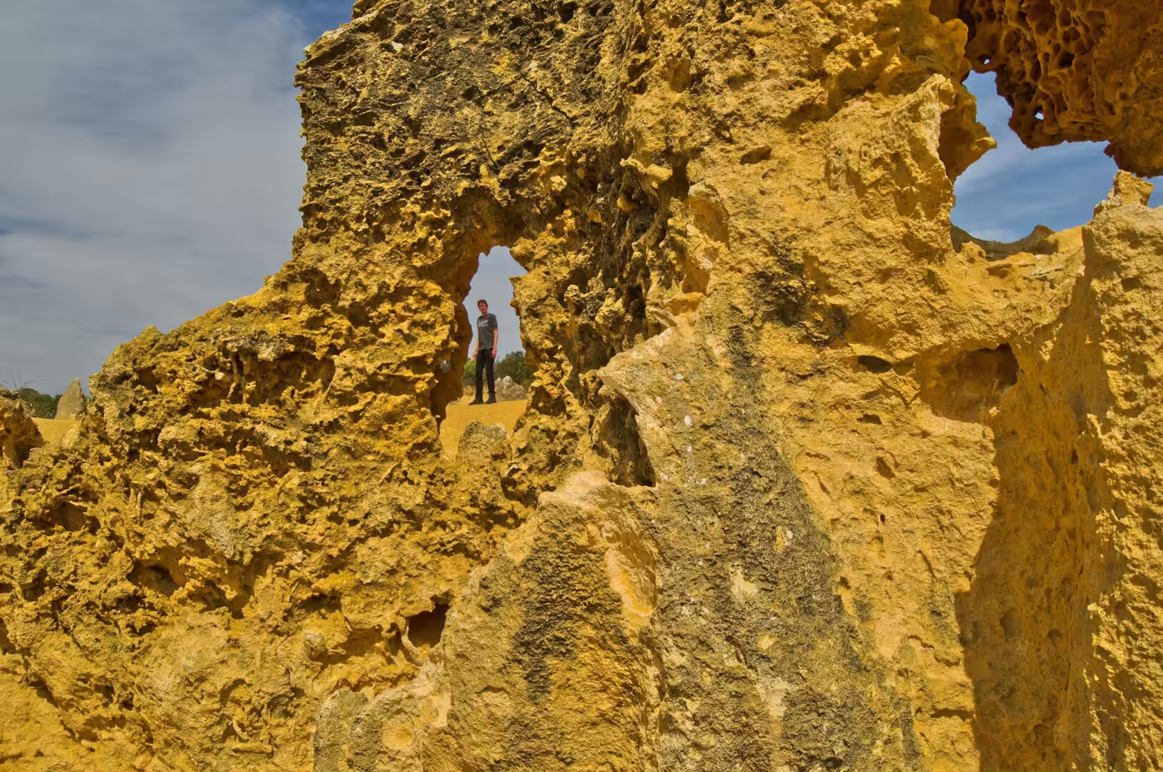
The walk through the Pinnacles Desert is a loop of about one and a half kilometres through the middle of the field, marked by posts, with the tallest formations standing up to three and a half metres above the sand. Seen from the car park the pillars look like a distant fence; seen from inside they resolve into shapes that invite comparison, columns, teeth, tombstones and archways, with the wind moving sand around their bases as it has done for thousands of years. Two of the larger formations have holes through them, and both are used by visitors as frames for the sky.
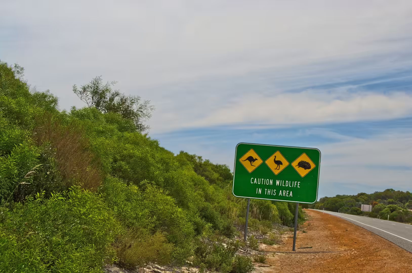
The rest of the park deserves more time than most people give it. Kangaroo Point and Hangover Bay have beaches with clear water and no facilities, the heathland between them is at its best in the mornings, and the coastal dunes hold plants that are found nowhere else. Kangaroos, emus and echidnas live in the bush beside the roads, and the warning signs that mention all three are worth taking seriously: they are there because the animals use the warm surface of the bitumen at dusk.
Camping in the area means either the caravan park at Cervantes or one of the reserves along the coast where bush camping is permitted. Both involve the same routine. The tent goes up before dark because the wind strengthens in the evening, everything that smells of food goes back in the car because the wildlife is bold, and the chairs are set out facing the sunset. On a clear night the sky above the heath is the best part of the day, and the further from the highway the car is parked, the better it gets.
The drive itself is the other half of the experience. The Indian Ocean Drive runs north from Perth through fishing towns and coastal heath, with a turn off at Cervantes for the park, and a stretch of red dirt tracks beyond it that lead to camping areas and beach access points. Fuel, water and food have to be planned for, because the distances between the towns are long and the roadhouses close early. It is the first taste of the real scale of the state, and it sets the pattern for the next three weeks.
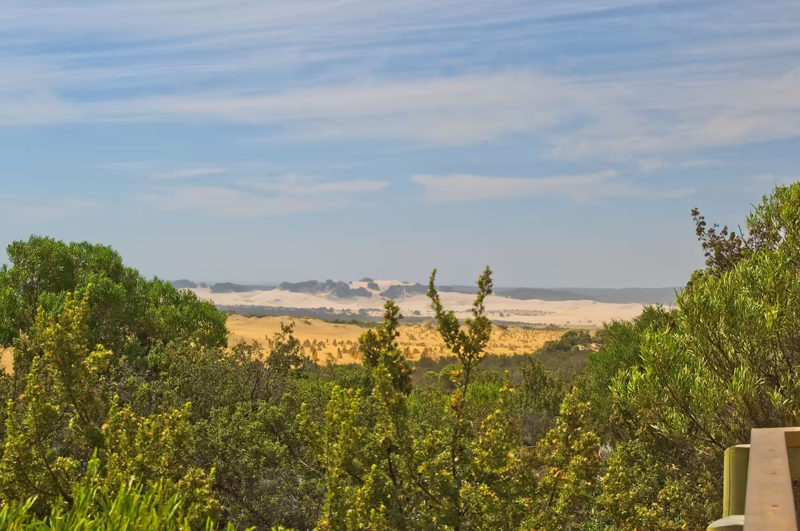
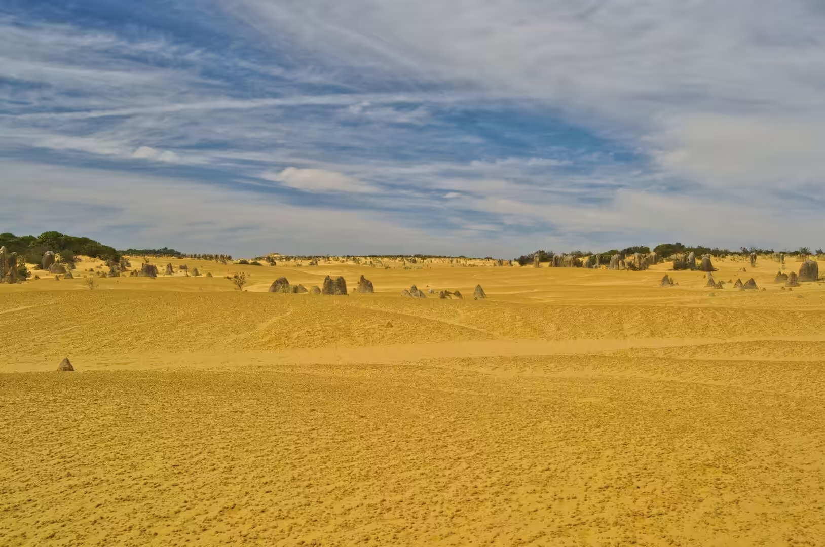
What the place does best is change character through the day. In the morning the pillars are pale and flat against a white sky, at midday they cast short hard shadows and the sand glares, and in the last hour before sunset they turn gold on one side and almost black on the other. The colours of the sand dunes behind the desert, and of the heath between them, are variations on the same theme, and the effect is of a landscape with a single palette. Most visitors stay for the sunset and leave, which means the best hour of the day is shared with a hundred other people, and the walk out into the field away from the marked loop is the only reliable way to be alone in it.
References
- Wikipedia contributors (2026). Nambung National Park. en.wikipedia.org/wiki/Nambung%20National%20Park
- Wikipedia contributors (2026). The Pinnacles (Western Australia). en.wikipedia.org/wiki/The%20Pinnacles%20%28Western%20Australia%29
- Wikipedia contributors (2026). Indian Ocean Drive. en.wikipedia.org/wiki/Indian%20Ocean%20Drive
- Wikipedia contributors (2026). Cervantes, Western Australia. en.wikipedia.org/wiki/Cervantes%2C%20Western%20Australia
- Wikipedia contributors (2026). Jurien Bay, Western Australia. en.wikipedia.org/wiki/Jurien%20Bay%2C%20Western%20Australia
- Wikipedia contributors (2026). Lesueur National Park. en.wikipedia.org/wiki/Lesueur%20National%20Park
- Wikipedia contributors (2026). Turquoise Coast (Western Australia). en.wikipedia.org/wiki/Turquoise%20Coast%20%28Western%20Australia%29
- Wikipedia contributors (2026). Dandaragan, Western Australia. en.wikipedia.org/wiki/Dandaragan%2C%20Western%20Australia
- Wikipedia contributors (2026). Wheatbelt. en.wikipedia.org/wiki/Wheatbelt
- Wikipedia contributors (2026). Aeolianite. en.wikipedia.org/wiki/Aeolianite
- Wikipedia contributors (2026). Swan Coastal Plain. en.wikipedia.org/wiki/Swan%20Coastal%20Plain
- Wikipedia contributors (2026). Perth Basin. en.wikipedia.org/wiki/Perth%20Basin
- Wikipedia contributors (2026). Western Australia. en.wikipedia.org/wiki/Western%20Australia
- Lipar M., Webb J.A. (2014) Middle-late Pleistocene and Holocene chronostratigraphy and climate history of the Tamala Limestone, Cooloongup and Safety Bay Sands, Nambung National Park, southwestern Western Australia. Australian Journal of Earth Sciences. 61. 1023-1039. doi.org/10.1080/08120099.2014.966322
- Mayer W. (2008) Early geological investigations of the Pleistocene Tamala Limestone, Western Australia. Geological Society, London, Special Publications. 301. 279-293. doi.org/10.1144/sp301.17