Stage 5 of 24
Day 5 - Shark Bay / Francois Peron National Park







Journal Notes
General
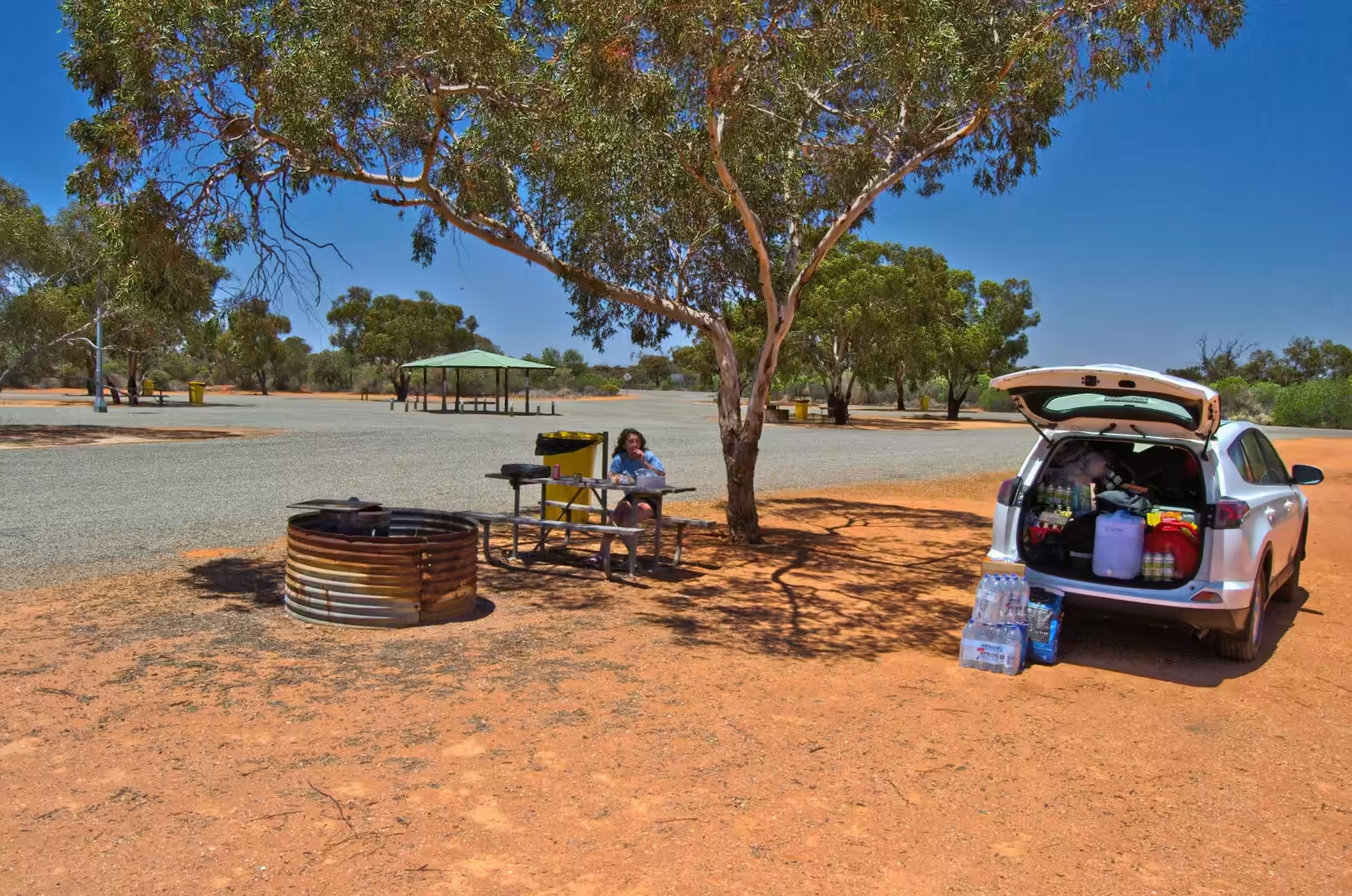
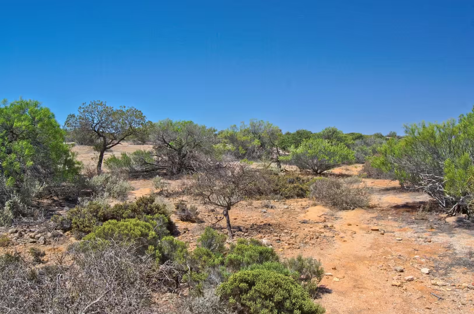
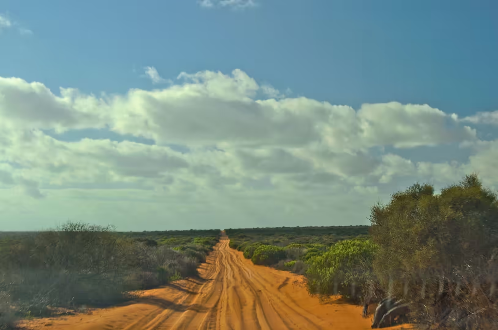
The fifth day was a driving day with a reward at the end of it. The route north from the Pinnacles runs through country that gets drier and redder with every hour: red earth on both sides of the road, green scrub beyond, a dry creek bed full of eucalypts, and a rest stop with a picnic table and shade. The towns thin out, the fuel stops become roadhouses, and the sky takes up more and more of the view until the land seems to be mostly horizon.
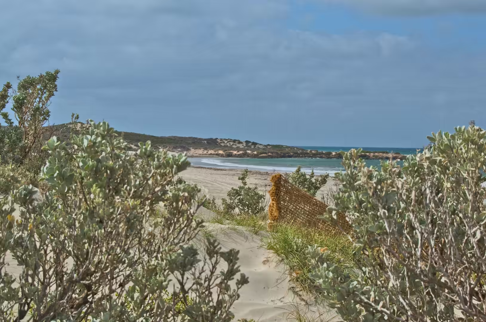
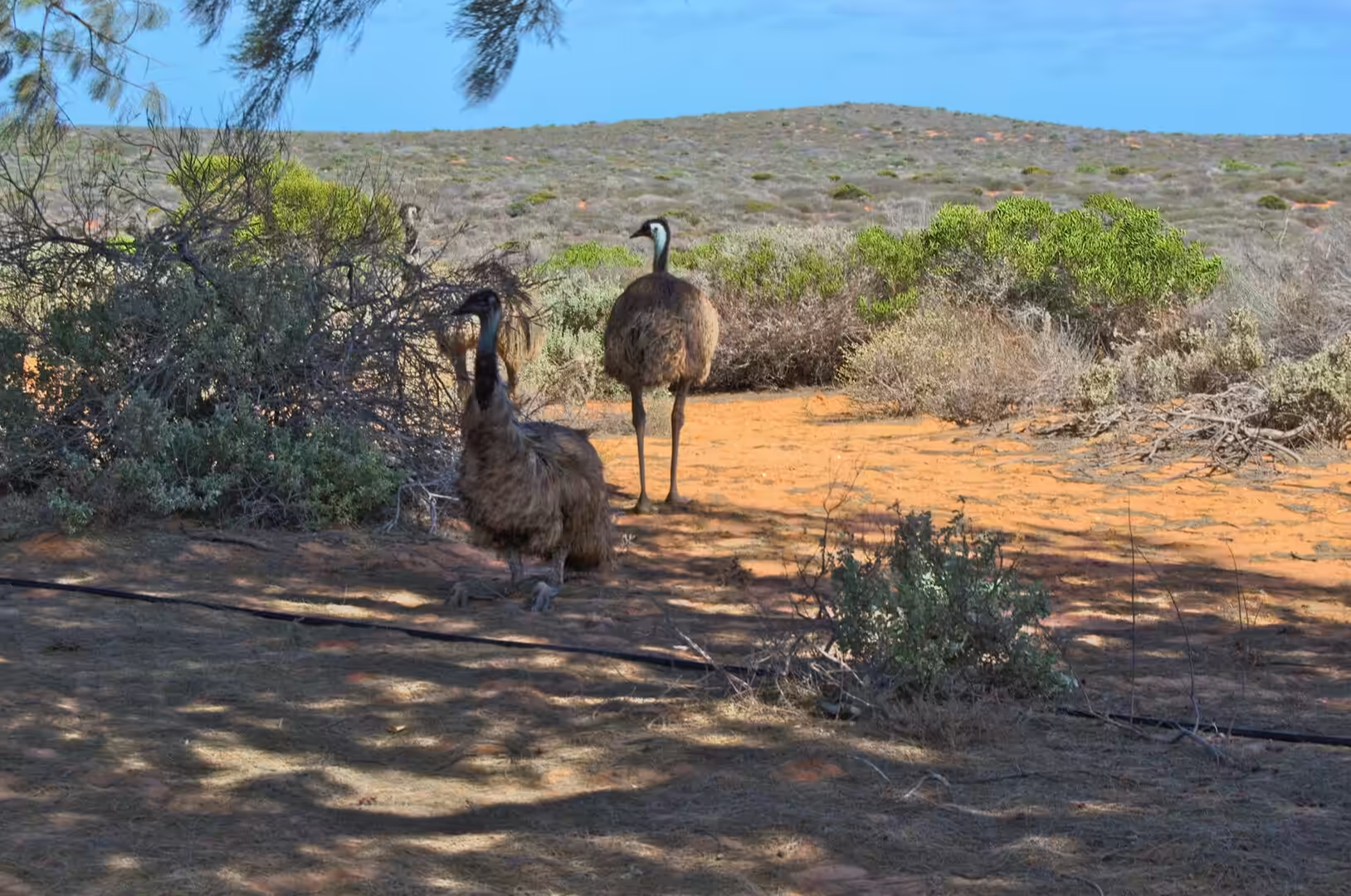
Then the colour changes. At the end of the afternoon the road reaches the Peron Peninsula and the water appears beside it, a wide shallow lagoon so brightly turquoise that it looks artificial. The camp for the next two nights went up on red sand a few metres from the shore, with a table, two chairs and the whole of the bay in front of it. Within an hour of arriving, an emu walked through the camp and two more were standing among the shrubs behind the tent.
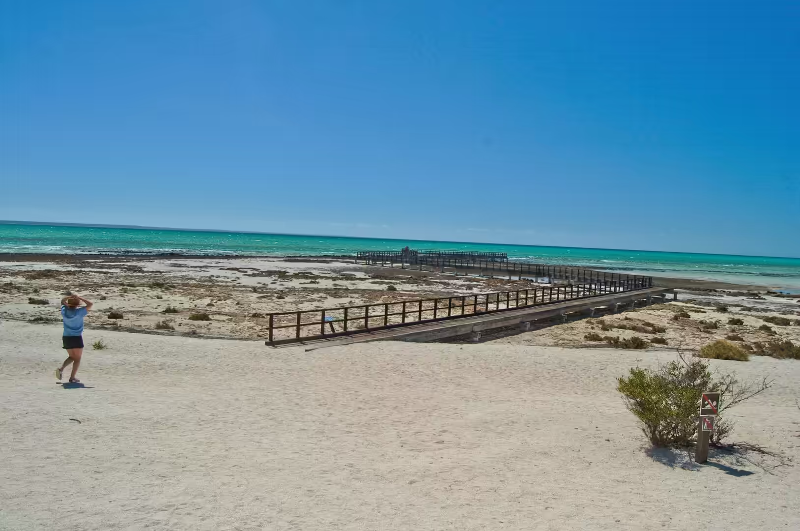
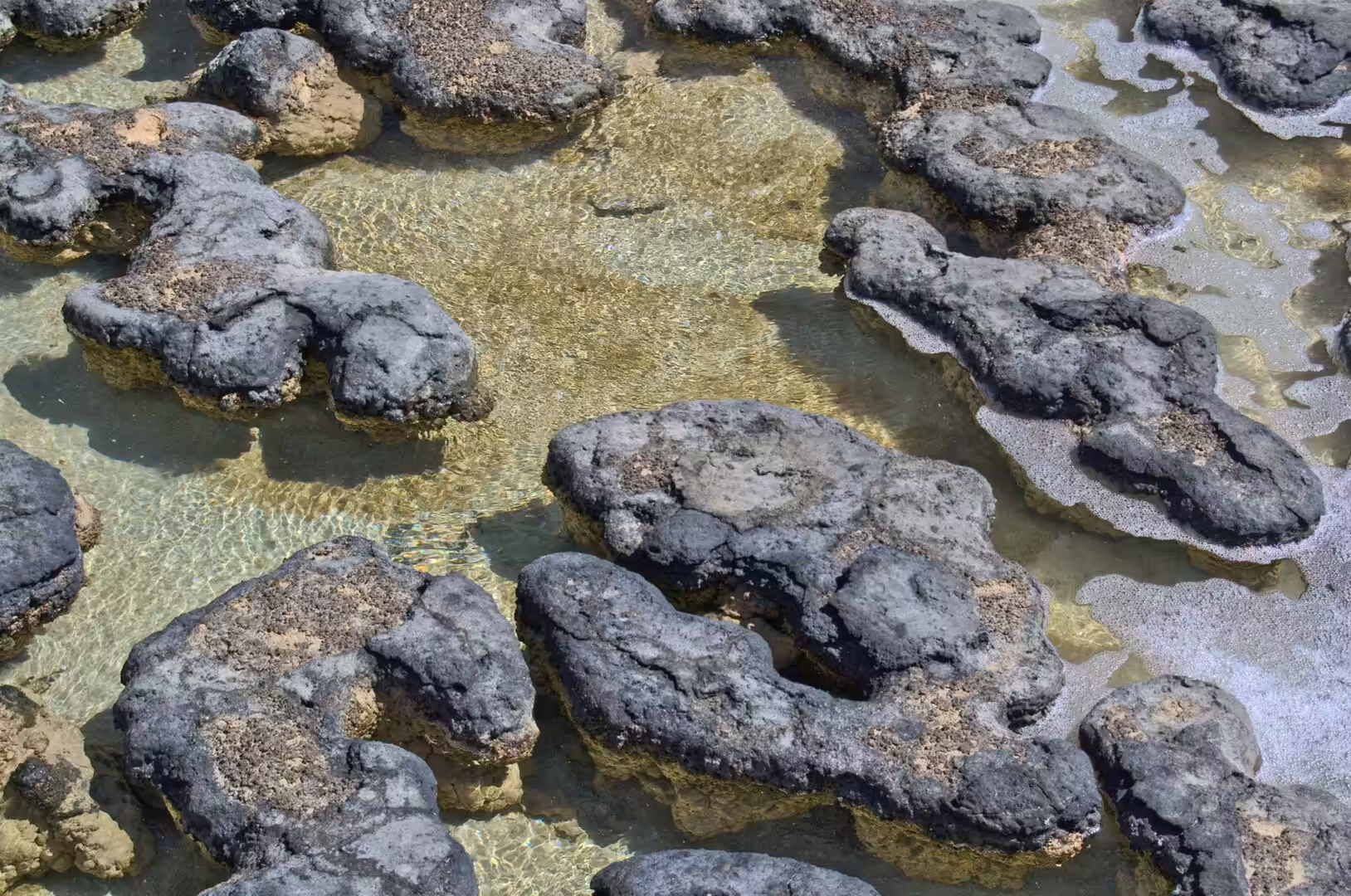
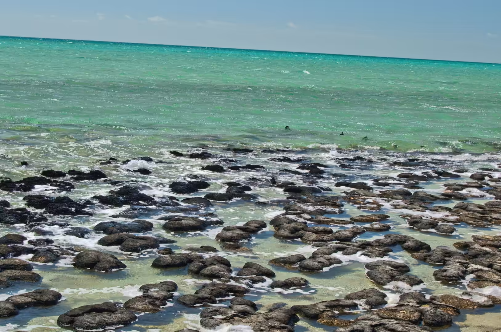
The last stop of the day was at Hamelin Pool, where a wooden boardwalk carries visitors out over the shallows of the eastern bay. Beneath the planks, in water so clear and so shallow that every detail is visible, lie dark rounded mounds of rock. They look like nothing much. They are, in the opinion of most of the people who study them, the closest thing on Earth to the way life looked for the first three billion years of its existence.
The distances are the thing to get used to. From the Pinnacles to the Peron Peninsula is a day of driving with fuel stops that have to be planned, and the landscape between them passes through several changes of country: wheat and sheep country at first, then the low eucalypt scrub of the sand plains, then the red earth and spinifex of the interior edge. Road trains pass on the single carriageway, kangaroos appear on the verges in the last hour of daylight, and the sun sets with no town within a hundred kilometres. Arriving at the bay in the late afternoon, with the water suddenly turquoise beside the road and the camp chairs already set out, is one of the rewards the state keeps for people who drive it.
Food on the road in this part of the state is a subject of its own. Roadhouses sell fuel, ice, drinking water and a limited stock of groceries, and the meals are generally fried. The camp routine is to cook on a gas burner, to boil the kettle twice, and to eat while the sun goes down and the temperature falls quickly from the high thirties into something bearable. The refrigerator in the back of the car is the most valuable piece of equipment in the whole setup, and the rest area with a table and a shelter is the only public architecture that matters for hundreds of kilometres.
History
Shark Bay is the meeting place of two waters, which is exactly what its Malgana name says. Gathaagudu means the two bays, and the geography behind the name is the key to everything that makes the place unusual: the bay is divided in the middle by the Peron and Dirk Hartog peninsulas and the island they almost join, so that the eastern basin and the western basin have different depths, different salinities and different histories. The whole area, some twenty three thousand square kilometres of water and land, was inscribed on the World Heritage list for its seagrass beds, its stromatolites, its dugongs and its landscapes.
Europeans arrived early here. The Dutch captain Dirk Hartog made landfall on the island that now carries his name in 1616, on a voyage that produced the first recorded European contact with the Western Australian coast, and left behind a pewter plate at the place now called Cape Inscription. French ships under Nicolas Baudin surveyed the coast in 1801 and 1803, which is why the peninsula, the national park and the bay’s inner reaches carry French names: Francois Peron was the zoologist on that expedition, and Hamelin Pool remembers Jacques Hamelin, the captain of the corvette Naturaliste.
The land around the bay was used hard in the century that followed. A pearling camp stood at Herald Bight on the peninsula in the 1880s, and visitors can still find shell fragments on that beach. From the early 1900s the Peron Peninsula was a sheep station, and the eastern bay was fished and salted for a living. The station was sold to the state government in 1990 and gazetted as a national park on 8 January 1993, which is why the park today has the odd double character of a wilderness with a farmyard history: old windmills, fence lines, a shearing shed kept as a relic, and red dirt tracks that follow the routes the sheep used.
The place also has a working present, which visitors notice less than the scenery. Shark Bay supports a commercial fishery, a salt works and a small tourism industry, all of them constrained by the World Heritage listing and by the marine park that covers most of the water. Fishing for some species is limited, anchoring is restricted over the seagrass, and the numbers of visitors at the most fragile sites are managed through boardwalks and permits. The arrangement is not without argument, since the town depends on the visitors and the visitors come for the wildness, but it has kept the bay in reasonable condition for a place within a day of a city of two million people.
Geology
The two waters of Shark Bay are the reason for its biology. The western basin is open to the Indian Ocean and has normal seawater, while the eastern basin behind the peninsula is shallow, hot and enclosed, and loses water to evaporation faster than the ocean can replace it. Salinity in Hamelin Pool reaches more than twice that of open sea. That extreme chemistry excludes most of the animals that would otherwise graze on the sea floor, and the absence of grazers is what allows the microbial mats there to build structures instead of being eaten.
Those structures are stromatolites: layered mounds of sediment bound and trapped by communities of cyanobacteria and other microbes. They grow slowly, they record the movement of sediment and light in their layers, and they are found in only a handful of places in the world today, all of them marginal: a deep site in the Caribbean, the Persian Gulf, the Great Salt Lake of Utah, and here. The ancient fossil stromatolites are known from rocks more than three billion years old, and the living examples at Hamelin Pool in a marine nature reserve of a hundred and twenty seven thousand hectares are the best and most diverse of them.
Between the two basins lie the seagrass banks. The bay holds one of the largest and most diverse seagrass meadows in the world, covering thousands of square kilometres of shallow floor, dominated by species of Posidonia and Amphibolis that grow in the clear, salty, sheltered water. The meadows stabilise the sediment, they feed the food chain, and they are the reason the bay holds a large population of dugongs, the marine mammals that graze on seagrass and are elsewhere in decline. They also leave a geological signature: the banks they build are visible from the air as pale patches in the turquoise water.
The land is made of the same material as the sea floor. The Peron Peninsula is sand and limestone, red on the surface where iron oxides have coated the quartz grains, white beneath where carbonate dominates, and the shoreline is a sequence of low cliffs, shell beaches and shallow lagoons. Shell Beach, east of Denham, is made almost entirely of the shells of a single species of cockle, piled metres deep over a stretch of kilometres. The red dunes, the white shell, the turquoise shallows and the dark mounds of the stromatolites are all one system, built by water, wind and biology over a few thousand years.
Things to See
Hamelin Pool is the place to start, and the boardwalk is the way to see it. The walk is short, railed and interpreted, it takes visitors over the shallows without touching them, and it gives a view down onto the stromatolites that no other site in the world can match for ease of access. The rules are simple: stay on the boardwalk, touch nothing, and remember that the dark crust below is a living community that has been doing the same thing for longer than there have been animals.
From there the park road leads into Francois Peron National Park, which needs a four wheel drive and low tyre pressures on the sand. The tracks run north along the peninsula to Big Lagoon, a shallow turquoise basin with white sand and no facilities at all, and on to Herald Bight and the cliffs of the west coast, where the water is deep blue and the wind has the whole Indian Ocean behind it. The old shearing shed at the park entrance has a hot tub fed from the station’s bore, a strange and welcome comfort in a place where the temperature in December passes forty degrees.
Denham is the base for supplies. It is the westernmost publicly accessible town in Australia, named after Captain Henry Mangles Denham, who charted the bay in the nineteenth century, and it lives from fishing, tourism and the service industry of the peninsula. The jetty, the bakery, the small supermarket and the museum are all within a short walk of each other, and the town’s position on the western coast makes it a good place to watch the sun go down over the water.
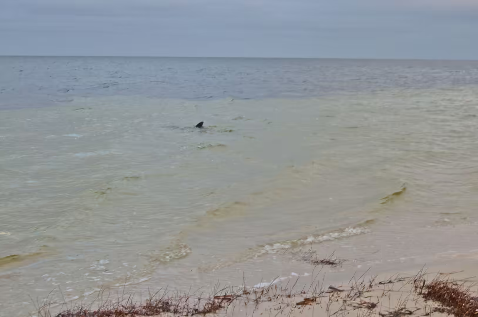
The wildlife of the peninsula is best seen at the beginning and the end of the day. Emus patrol the scrub around the campsites, euros and wallabies come out to feed on the edges of the tracks in the evening, and the shallows of the lagoons hold fish, rays and the occasional small shark. The dugongs that make the bay famous are harder to see: they surface briefly, usually at a distance, and the best views are from a boat in the seagrass country of the western bay. Everything else on the peninsula comes to the visitor, which is one of the reasons the place is remembered by everyone who camps there.
The practical side of Shark Bay is learned quickly. Fuel and food come from Denham, the only town on the peninsula, and it is small: a supermarket, a bakery, a pub, a fuel station and a couple of camping shops. The national park tracks require a four wheel drive with reduced tyre pressures, and the sand softens through the day as the temperature rises, which is why the parks service recommends travelling in and out early. Water has to be carried in, everything has to be carried out, and the nearest medical help beyond Denham is a very long drive away. None of that stops the place from being the highlight of the trip for most of the people who make it this far north.
Anyone with time to spare should drive out to the shell beach east of Denham. The bank of shells runs for kilometres, the water in front of it is too salty for most casual swimming but warm and shallow, and the flats behind it are covered in samphire and small saltbush whose colour changes with the light. It is one of the few places in the world where a beach is genuinely made of shells, and the comparison with an ordinary coral beach is instructive: the material is the same carbonate, the size of the grains is different, and the origin is a single species of mollusc rather than a whole reef.
References
- Wikipedia contributors (2026). Shark Bay. en.wikipedia.org/wiki/Shark%20Bay
- Wikipedia contributors (2026). Monkey Mia. en.wikipedia.org/wiki/Monkey%20Mia
- Wikipedia contributors (2026). Denham, Western Australia. en.wikipedia.org/wiki/Denham%2C%20Western%20Australia
- Wikipedia contributors (2026). Hamelin Pool. en.wikipedia.org/wiki/Hamelin%20Pool
- Wikipedia contributors (2026). Stromatolite. en.wikipedia.org/wiki/Stromatolite
- Wikipedia contributors (2026). Dirk Hartog Island. en.wikipedia.org/wiki/Dirk%20Hartog%20Island
- Wikipedia contributors (2026). Francois Peron National Park. en.wikipedia.org/wiki/Francois%20Peron%20National%20Park
- Wikipedia contributors (2026). Hamelin Pool Marine Nature Reserve. en.wikipedia.org/wiki/Hamelin%20Pool%20Marine%20Nature%20Reserve
- Wikipedia contributors (2026). Dugong. en.wikipedia.org/wiki/Dugong
- Wikipedia contributors (2026). Ningaloo Coast. en.wikipedia.org/wiki/Ningaloo%20Coast
- Wikipedia contributors (2026). Cape Range National Park. en.wikipedia.org/wiki/Cape%20Range%20National%20Park
- Wikipedia contributors (2026). Exmouth Gulf. en.wikipedia.org/wiki/Exmouth%20Gulf
- Play ford P., Cockbain A. (1976) Chapter 8.2 Modern Algal Stromatolites at Hamelin Pool, A Hypersaline Barred Basin in Shark Bay, Western Australia. Developments in Sedimentology. 389-411. doi.org/10.1016/s0070-4571(08)71147-6
- Burne R.V., Johnson K. (2012) Sea-level variation and the zonation of microbialites in Hamelin Pool, Shark Bay, Western Australia. Marine and Freshwater Research. 63. 994-1004. doi.org/10.1071/mf12184
- Anderson P. (1994) Dugong distribution, the seagrass Halophila spinulosa, and thermal environment in winter indeeper waters of eastern Shark Bay, WA. Wildlife Research. 21. 381-387. doi.org/10.1071/wr9940381