Day 7 - Carnarvon





Journal Notes
General
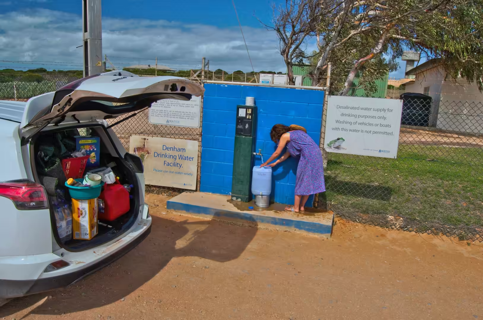
The seventh day was a driving day with a list of small things to do at the end of it. The morning began with the rituals of a long road trip: tyre pressures checked and topped up with a compressor beside the road, a jerry can filled at a public tap, and the boot rearranged so that the water, the tools and the food were all reachable without unpacking the whole car. Everything on the roof and in the back had been shaken loose by several hundred kilometres of corrugations, and half an hour of tidying saved an hour later.
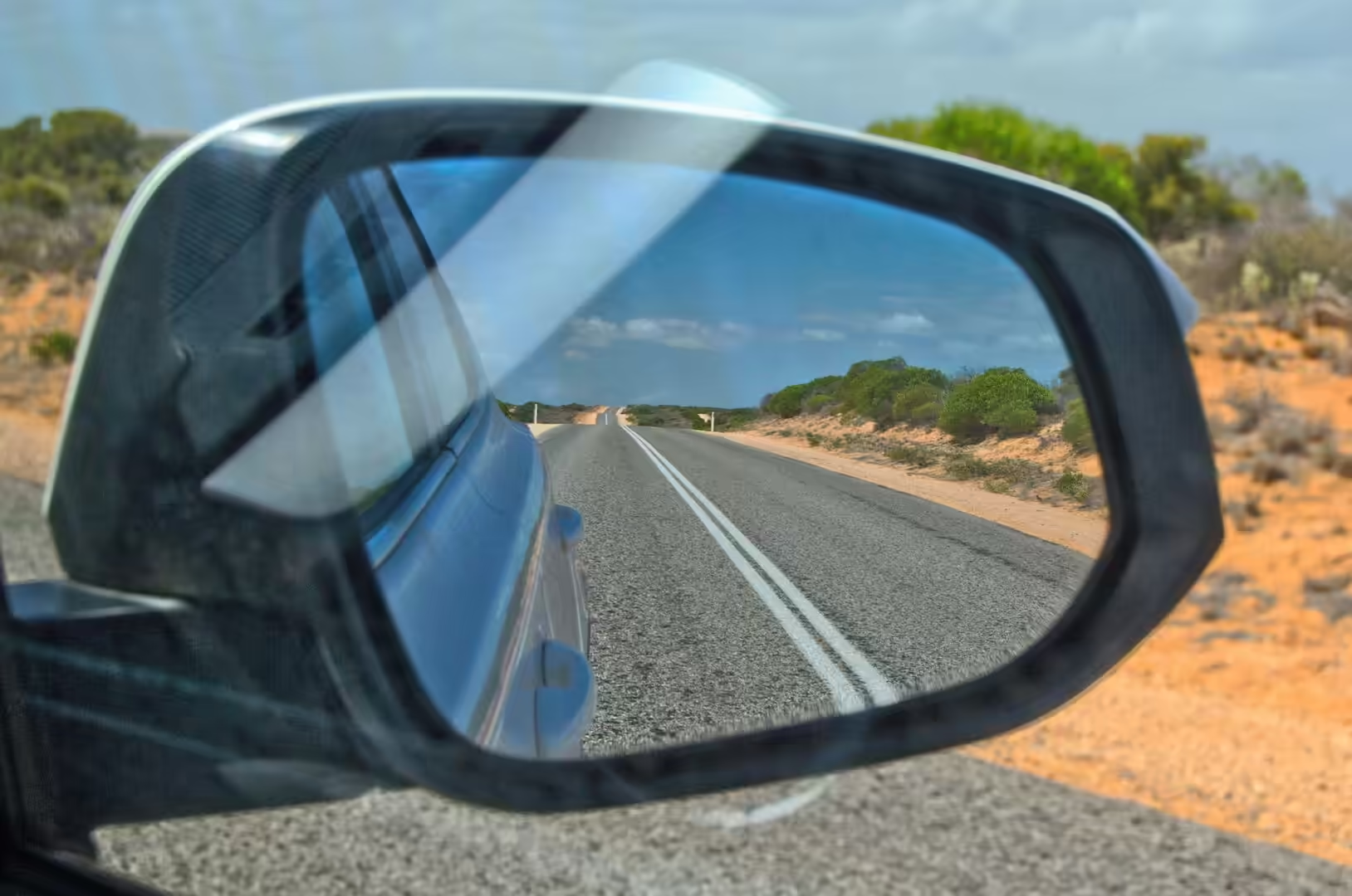
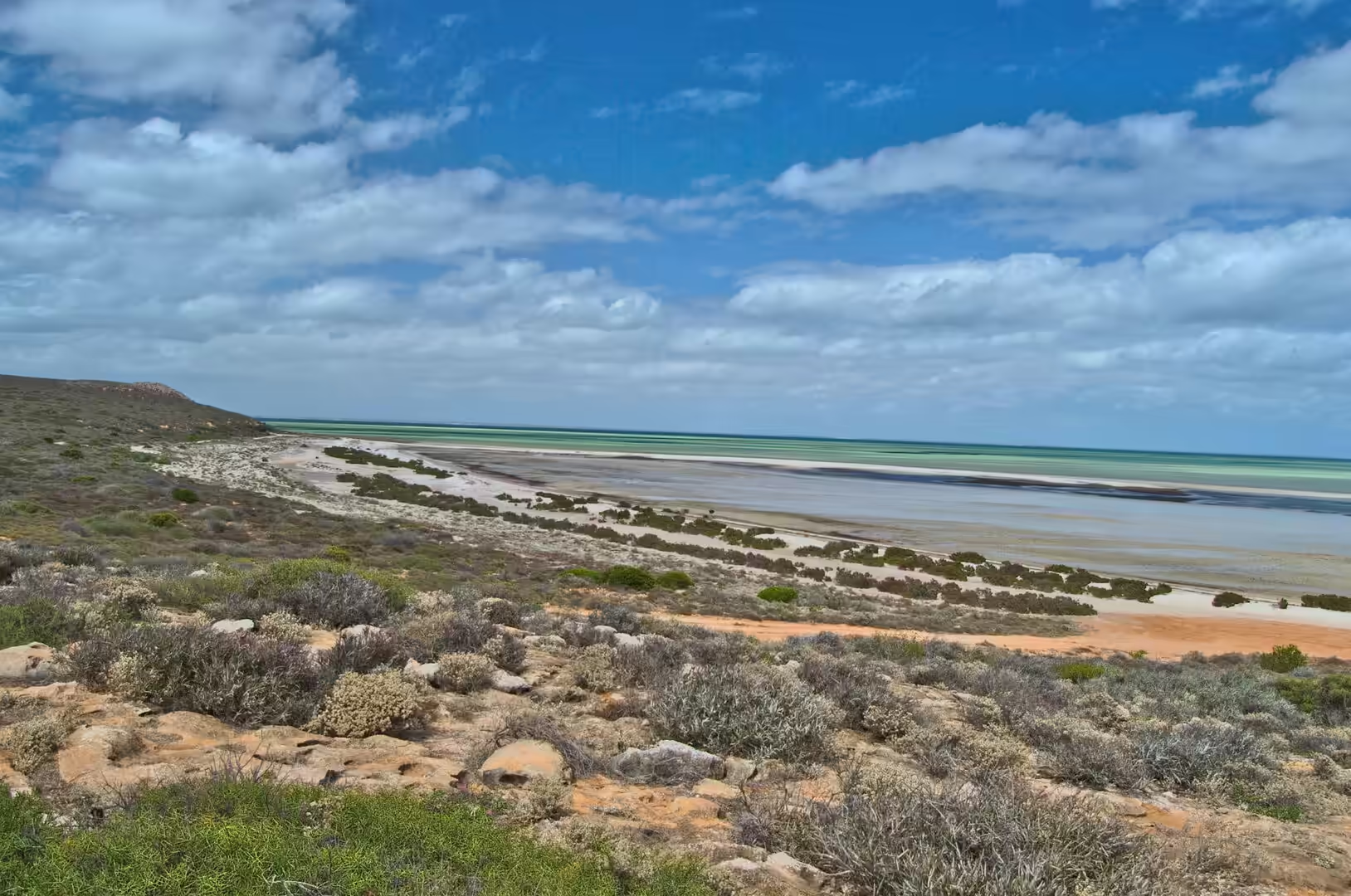
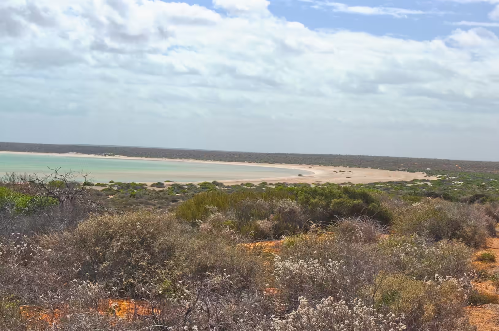
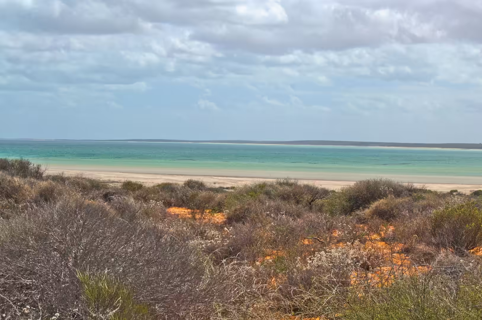
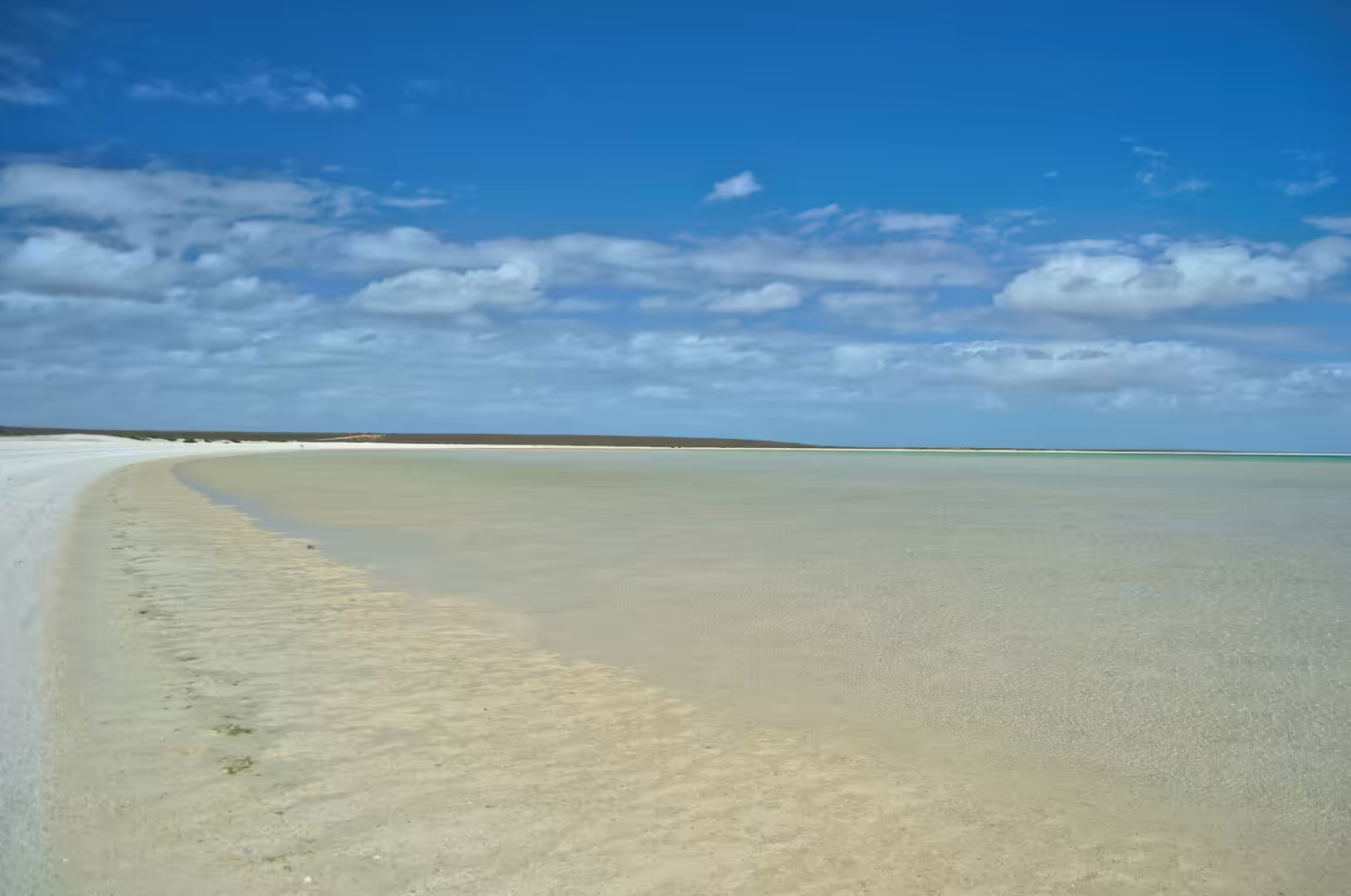
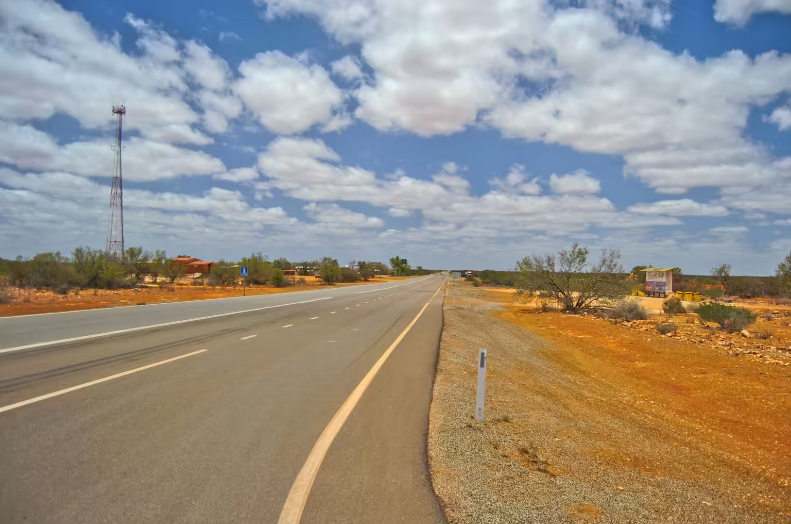
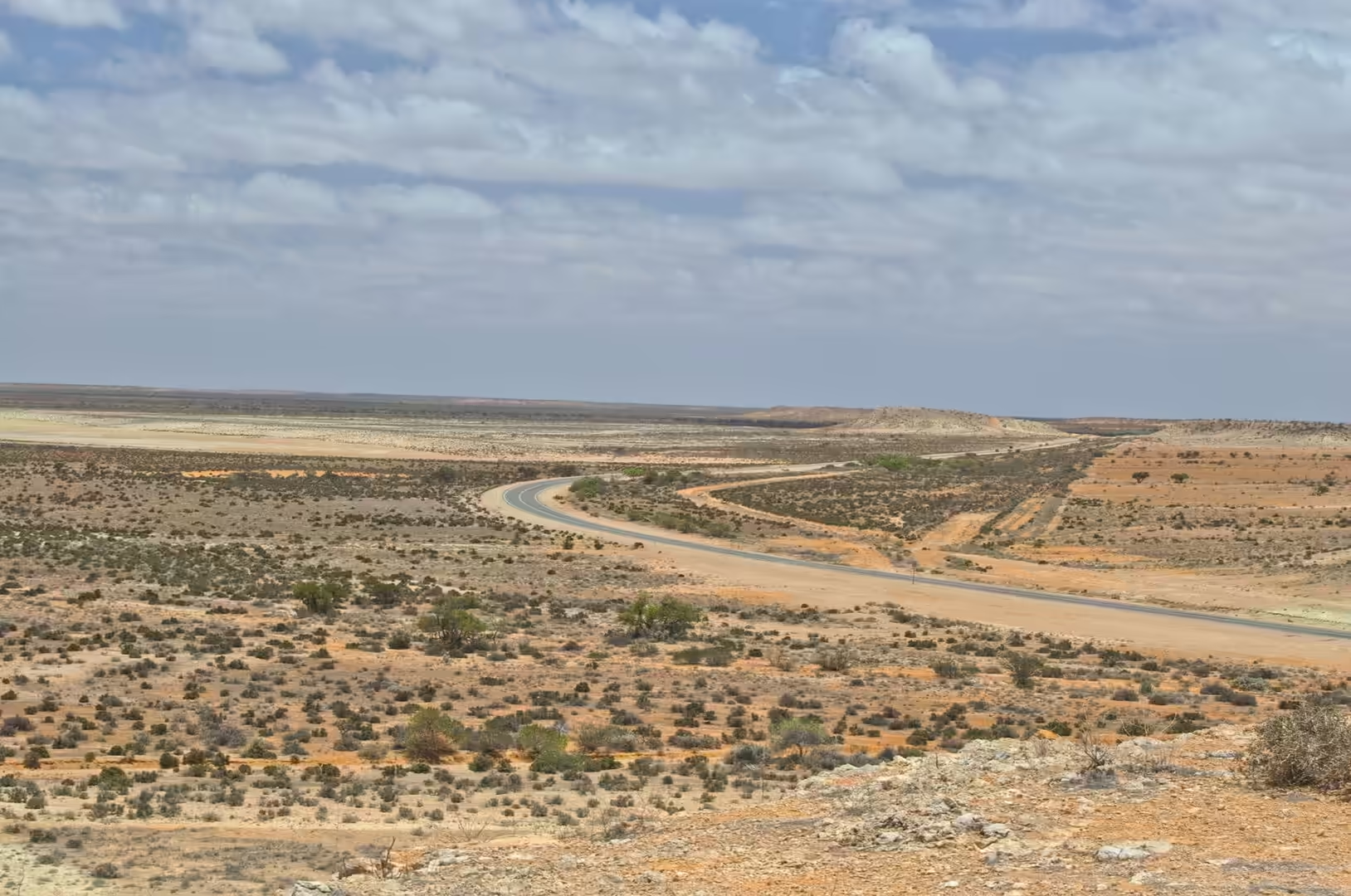
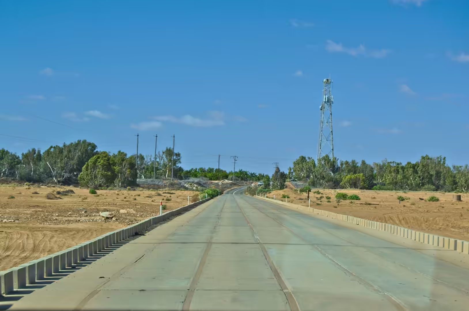
The highway north of Shark Bay is long, straight and almost empty. The road runs across a plain of red sand and low scrub for hour after hour, with the sea appearing and disappearing on the left, and the horizon drawn across the windscreen like a line of ink. Every so often the scrub opens onto a shallow lagoon, pale green behind a rise of red earth, and the contrast between the dry land and the bright water is the thing that stays in the memory of the day.
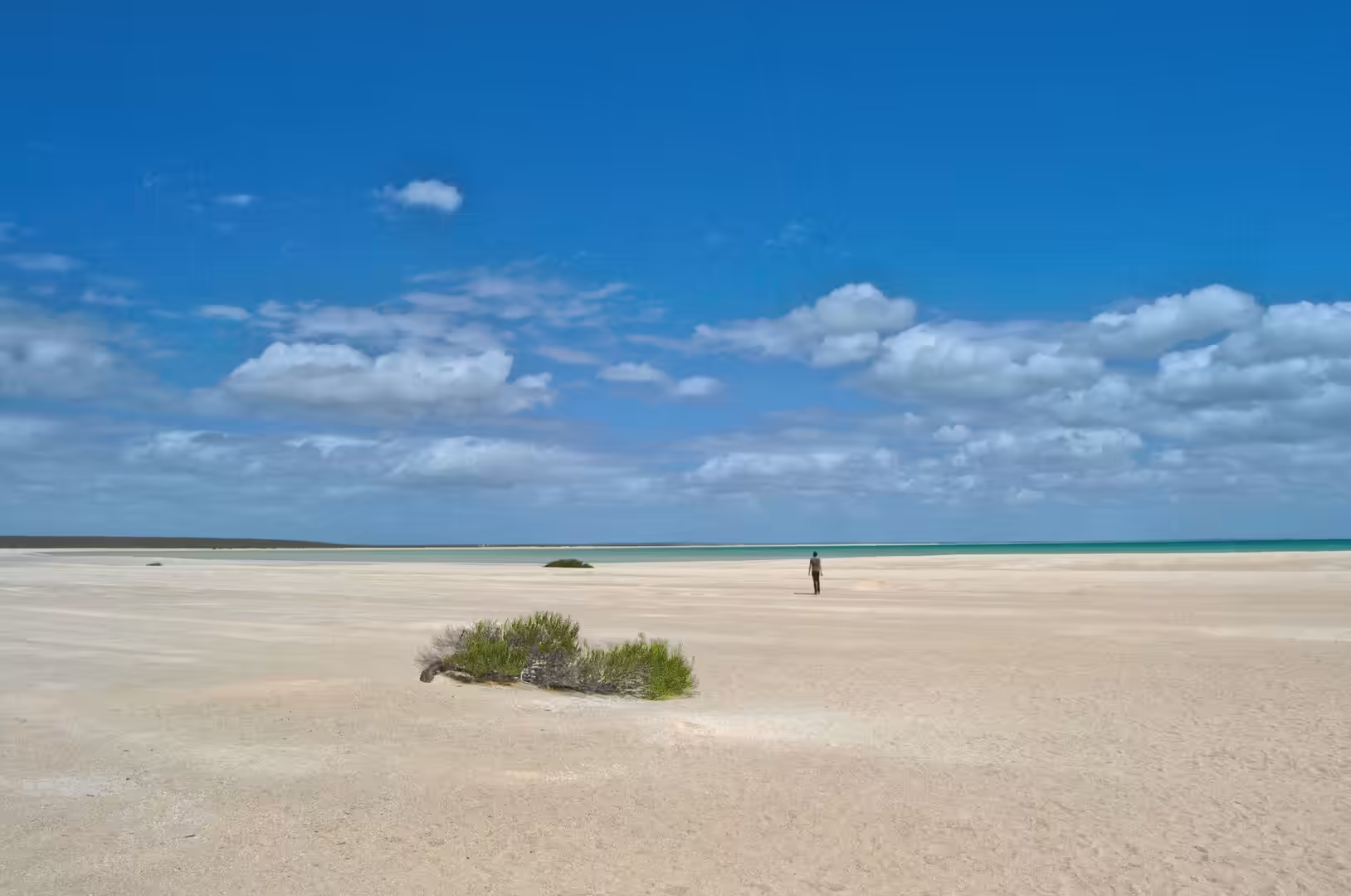
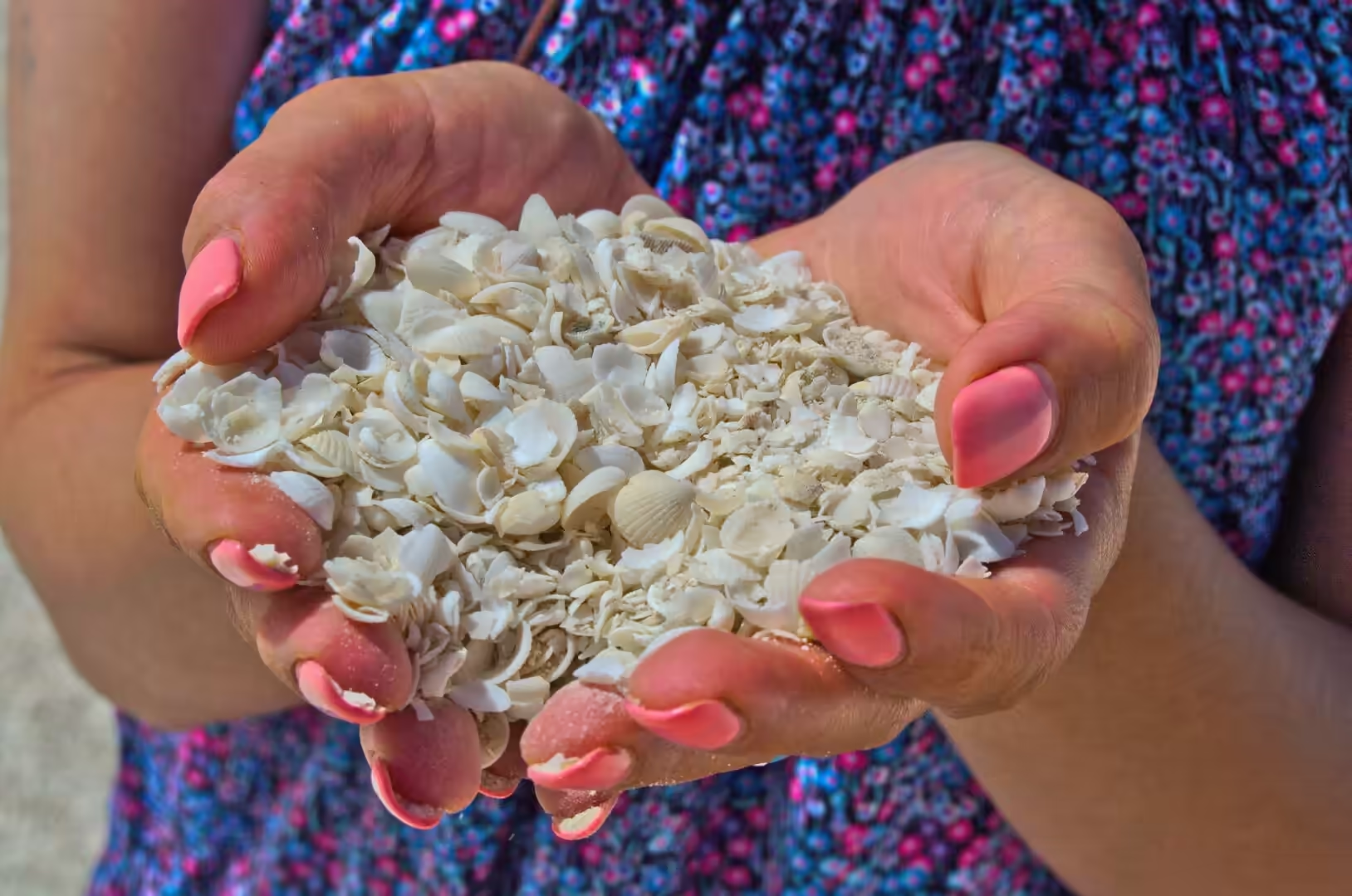
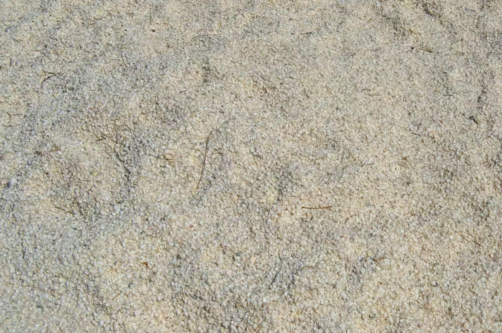
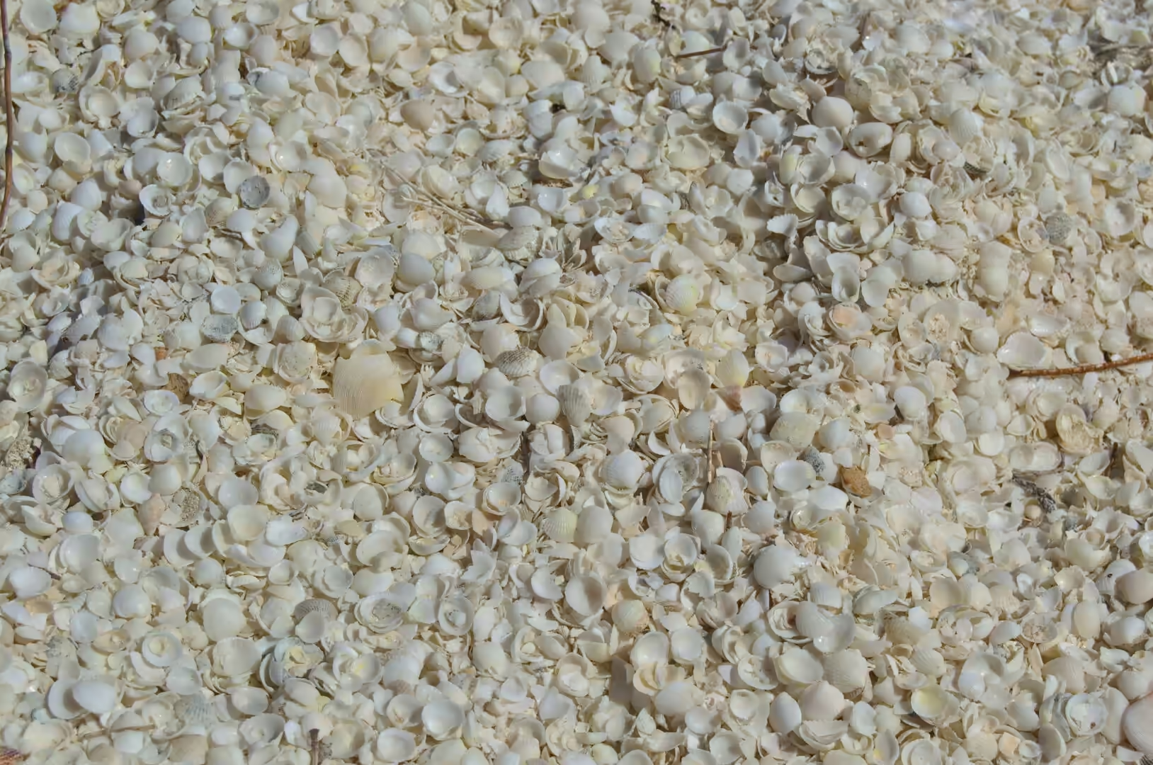
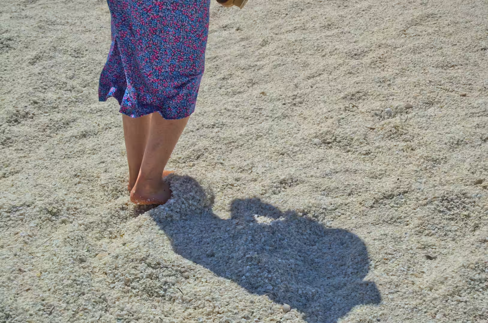
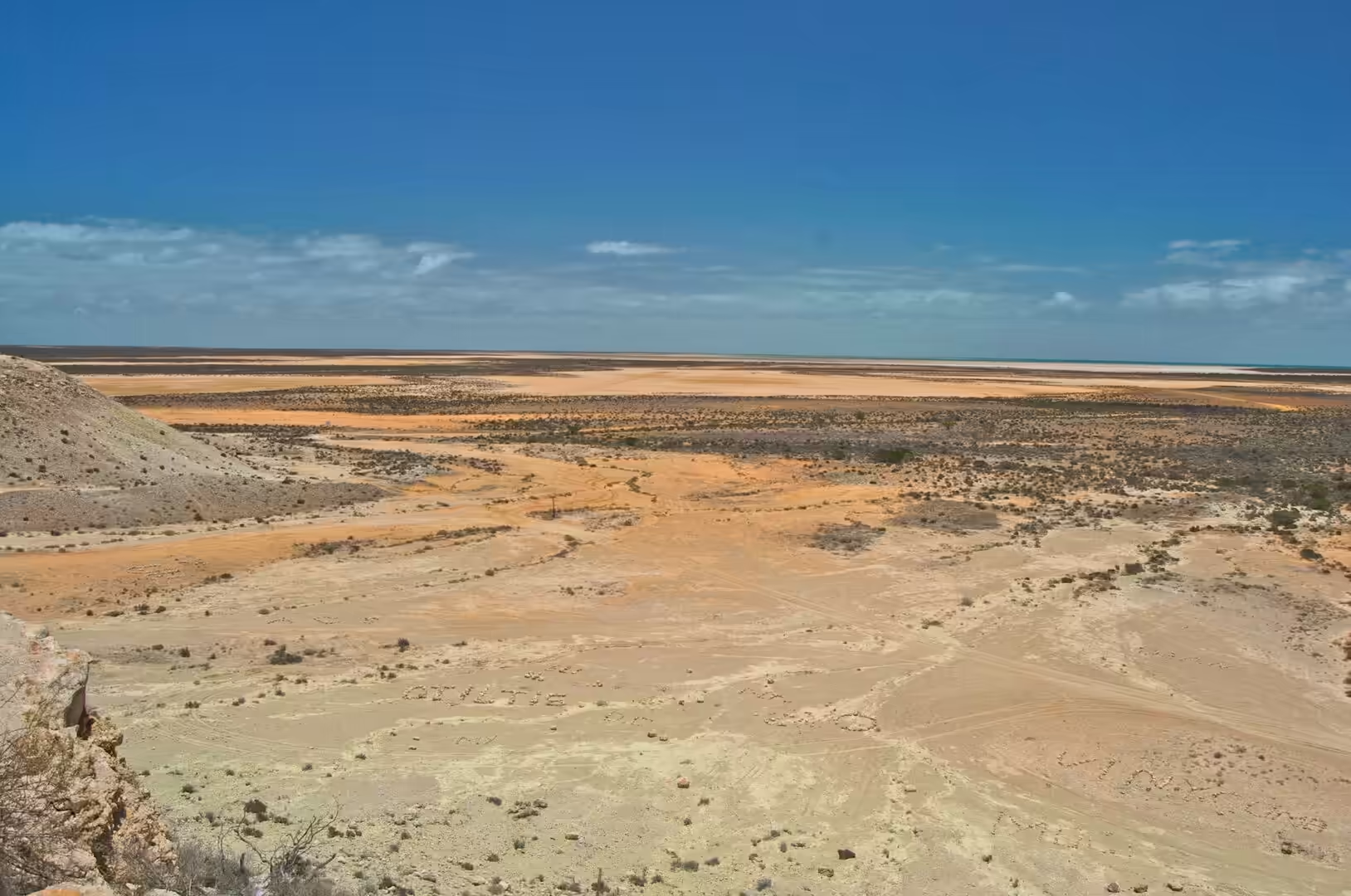
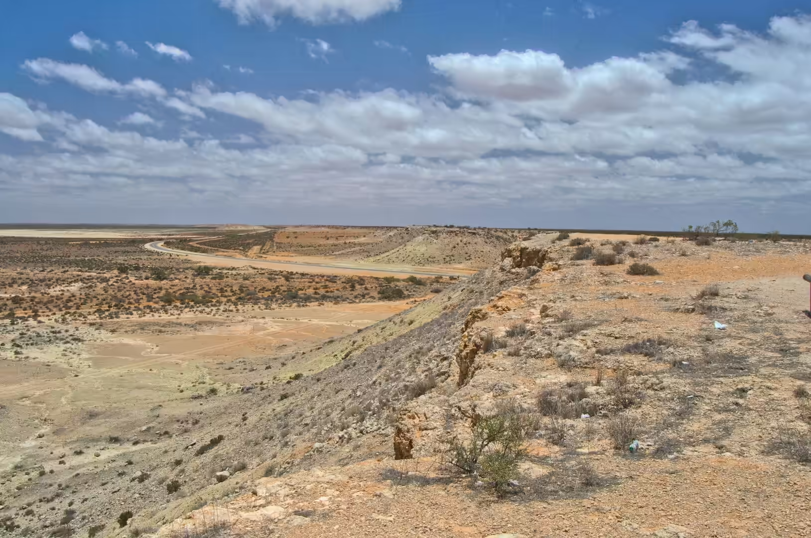
The stop that mattered was at the shell beach south of Carnarvon. It is not sand at all. It is a bank of small white shells, tens of metres deep in places and running for kilometres along the shore, hard enough to walk on in bare feet and bright enough in the middle of the day to need sunglasses. Later the road turned inland and climbed between red hills toward the escarpment country of the Gascoyne, where a sandy valley opens below a long line of cliffs, and the camp for the night was made in the dirt beside a single green tree.
Water is the subject that comes up in every conversation in this part of the state, and the day made the reason obvious. The public tap beside the road where the jerry can was filled is one of a handful of places between Shark Bay and the next town where drinking water is available at all, and the sign beside it asks users to take only what they need. In a country where the rainfall is measured in centimetres a year and the rivers are dry for months at a time, a tap on the roadside is infrastructure of the same order as a bridge or a power line.
History
Carnarvon is the capital of the Gascoyne, a town of a few thousand people at the mouth of the longest river in Western Australia. The river is 865 kilometres long and it is dry for most of the year, which is not a contradiction: it drains a catchment the size of a European country, it arrives at the coast in a wide bed of sand, and the water it carries underground through that sand is the reason a town and a horticultural district exist at all in country that receives less than twenty centimetres of rain a year.
The town was founded in the 1880s, named after the British colonial secretary of the day, and it served first as a port for the pastoral stations of the interior and for the pearling fleet, then as a service centre for the sheep and cattle country behind it. Its position at the mouth of the river made it the obvious place for a jetty, a store and a police post, and the road that grew along the river bank became the main street. The buildings of that period are still in use: the railway station, the court house, the old power station and the jetty, rebuilt more than once because the sea has taken it.
In the twentieth century the district found two new reasons to exist. The first was horticulture, which depends entirely on the water in the river’s sand beds: bores pump it up, channels carry it to the plantations, and the result is a strip of green fields, banana palms, mango trees and vines in the middle of red country. The second was space. In 1963 an earth station opened ten kilometres south of the town, and for twelve years it tracked spacecraft for the American and Australian space programmes, including the crewed flights of the Gemini and Apollo era and the Skylab station. The station closed in 1975, and its dishes are now the centre of a museum that is the strangest and most interesting attraction on this stretch of coast.
The pastoral history of the Gascoyne is written into the names on the gates and the ruins beside the road. Stations were taken up along the river from the 1870s onwards, stocked with sheep, and worked with the help of Aboriginal labour that was rarely acknowledged and rarely paid. The shearing sheds, the wells, the windmills and the long fences of the period are still standing in places, and the families that hold the leases today are often the descendants of the original settlers, working the same country with the same uncertainties about rain. Wool and, more recently, cattle and goats are the products of that land, and the towns along the coast exist to serve it.
Geology
The geology of the Gascoyne is written in the shape of its river. The Gascoyne gathers in three branches in the inland ranges, drains a catchment of tens of thousands of square kilometres and reaches the sea at Carnarvon, but for most of the year the channel at the coast is a dry bed of sand with a bridge over it. The water is there, moving slowly beneath the sand rather than on top of it, and the same arrangement has been used by every settlement on the river since the first pastoralists arrived.
Inland from the coast the country rises to the Kennedy Range, a long escarpment of sedimentary rock about a hundred and fifty kilometres east of Carnarvon, standing above the river’s catchment like a wall. Its cliffs are the eroded edge of a plateau of Permian sandstone and shale, laid down when this part of the continent was a shallow sea and a coastal plain, and they are layered in the same way as the rocks of the coast further south. Between the range and the sea lie plains of red sand, salt lakes and low scrub, the whole of it sitting on ancient rock that is among the oldest in the world.
The red colour is iron. The sand of the interior is quartz coated with iron oxide, and where the coating is thick and the climate dry the colour is a deep red-orange, which is why the roads, the verges and the camp sites of this part of the state all look as if they have been tinted by hand. Under the sand, and in the shallow lakes behind the coast, the same iron and the same evaporation produce the salt crusts that the district has worked commercially for decades.
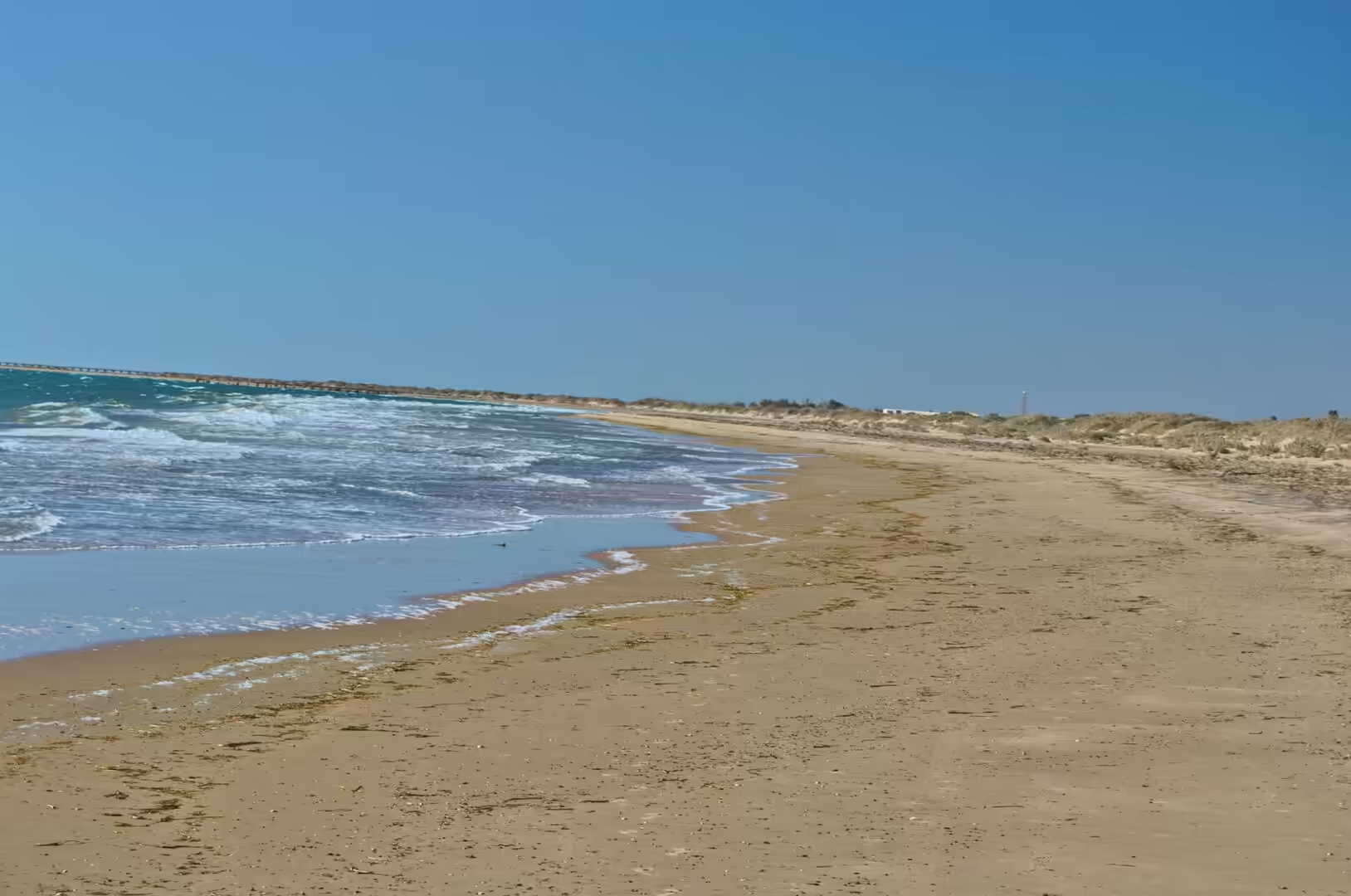
The shell beach south of the town is a geological feature of a different kind. It is made of the shells of a single species of cockle, which lives in the seagrass and shallows of Shark Bay, dies, and is washed ashore in quantities that have accumulated over thousands of years into banks several metres thick. Because the shells are calcium carbonate and the water in which they lie is warm and slightly alkaline, they cement together into a rock that looks like limestone and behaves like it. A beach that is a future limestone formation is a rare thing to be able to walk on, and people do, in bare feet, for kilometres.
The country between Shark Bay and the Gascoyne is a sequence of shallow basins and low rises, and the road follows it for want of anything better to do. Each basin collects what little rain falls, loses it to evaporation, and leaves a crust of salt; each rise is a low dune field stabilised by scrub. From the air the pattern is a mosaic of white, red and green that repeats with small variations for hundreds of kilometres, and on the ground it is a series of long, straight, empty stretches with a lagoon on one side and a dune on the other. The scale is the thing that takes getting used to: a feature that looks like a small hill on the horizon takes half an hour to reach.
Things to See
Shell Beach is the easiest of the day’s stops and worth an hour. The bank of shells runs along the shore for kilometres, the water in front of it is shallow, warm and very salty, and the flats behind it are covered in samphire and saltbush. There are no facilities beyond a car park and a sign, and the best time to be there is early, before the light becomes hard and the surface of the shells starts to glare.
The lagoons along the highway are the other easy pleasure. Each is a shallow basin of pale green water behind a ridge of red earth, warm enough to swim in, shallow enough to wade out for a hundred metres, and empty of people. The birdlife in them changes with the season: pelicans, cormorants, terns, and in the samphire flats behind them, waders that have come down from the northern hemisphere. A pair of binoculars and an hour at the edge of one of these lagoons will produce more birds than a day of driving.
The Kennedy Range is the excursion for anyone with a four wheel drive and a spare day. The road east from Carnarvon crosses the river country and then climbs onto the plains beneath the escarpment, where the cliffs run for tens of kilometres above a landscape of spinifex, red sand and gorges cut into the plateau. The climbing is rough, the camping is basic, and the reward is a view of a piece of country that very few travellers on the coastal highway ever see.
For everyday needs the town of Carnarvon has everything. There is fuel, a supermarket, a bakery, a hospital and a small shopping street with palm trees that is the closest thing to a city centre for eight hundred kilometres in either direction. The jetty, the war memorial and the old tramway along the river bank are walkable, and the fruit and vegetables grown on the plantations are sold at the farm gates on the road out of town. It is a working town rather than a resort, and it is all the more interesting for that.
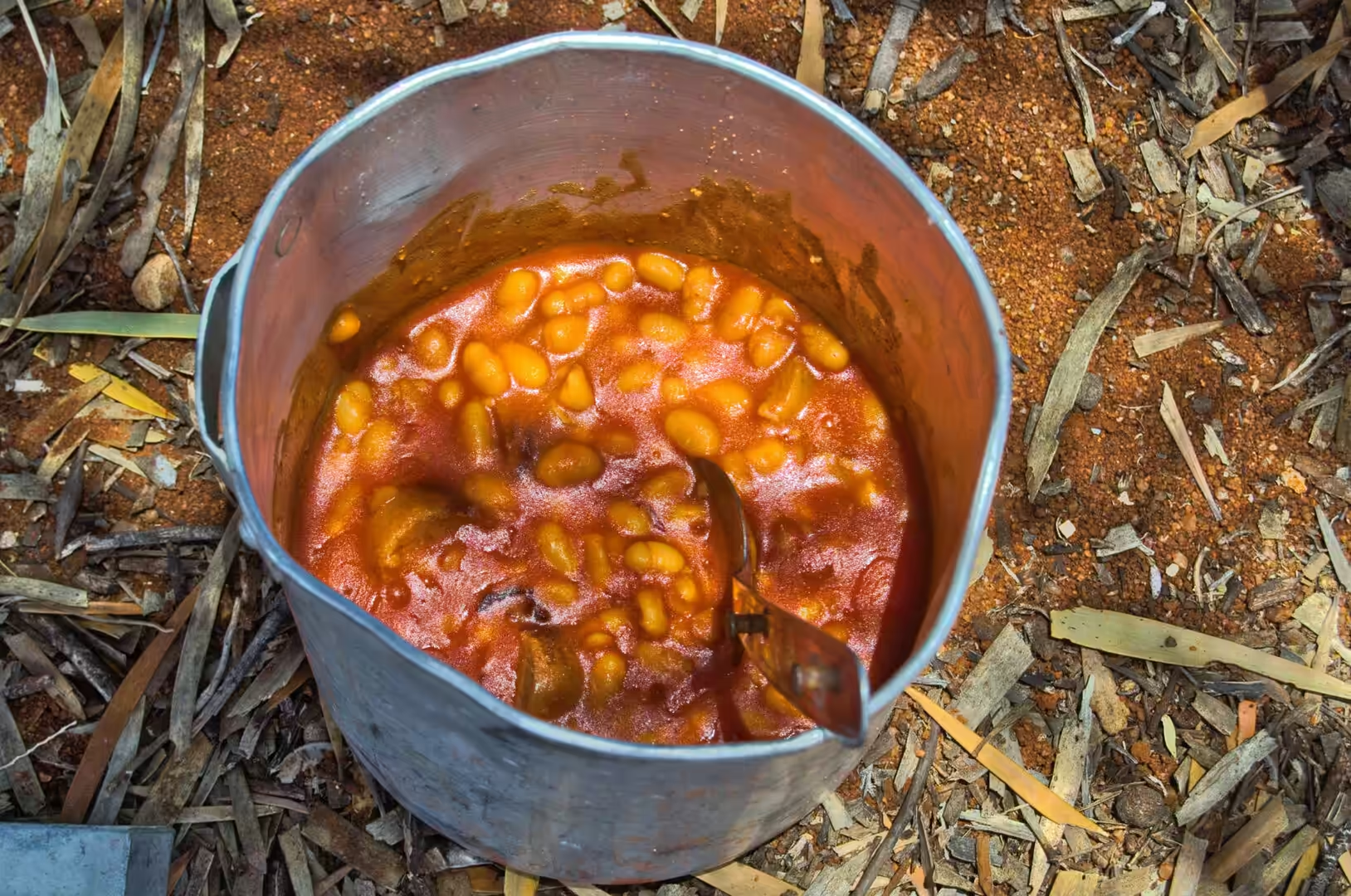
Camping in this country follows its own rules. Free camps are permitted on some stretches of crown land, the roadhouses have small caravan parks behind them, and the stations sometimes rent a paddock for the night. What matters is water, shade and distance from the road: the first because nothing can be bought for two hundred kilometres, the second because the temperature in December is brutal by ten in the morning, and the third because the road trains run all night and the noise carries. A camp set up under a single tree on red dirt, with the billy boiling on a gas burner and the stars coming out, is one of the simplest and best arrangements the country offers.
References
- Wikipedia contributors (2026). Carnarvon, Western Australia. en.wikipedia.org/wiki/Carnarvon%2C%20Western%20Australia
- Wikipedia contributors (2026). Gascoyne River. en.wikipedia.org/wiki/Gascoyne%20River
- Wikipedia contributors (2026). Gascoyne Junction, Western Australia. en.wikipedia.org/wiki/Gascoyne%20Junction%2C%20Western%20Australia
- Wikipedia contributors (2026). Kennedy Range National Park. en.wikipedia.org/wiki/Kennedy%20Range%20National%20Park
- Wikipedia contributors (2026). Shark Bay. en.wikipedia.org/wiki/Shark%20Bay
- Wikipedia contributors (2026). Indian Ocean Drive. en.wikipedia.org/wiki/Indian%20Ocean%20Drive
- Wikipedia contributors (2026). North West Cape. en.wikipedia.org/wiki/North%20West%20Cape
- Wikipedia contributors (2026). Western Australia. en.wikipedia.org/wiki/Western%20Australia
- Wikipedia contributors (2026). Denham, Western Australia. en.wikipedia.org/wiki/Denham%2C%20Western%20Australia
- Wikipedia contributors (2026). Cape Range National Park. en.wikipedia.org/wiki/Cape%20Range%20National%20Park
- Wikipedia contributors (2026). Hamelin Pool. en.wikipedia.org/wiki/Hamelin%20Pool
- El-Tabakh M., Mory A., Schreiber B., Yasin R. (2004) Anhydrite cements after dolomitization of shallow marine Silurian carbonates of the Gascoyne Platform, Southern Carnarvon Basin, Western Australia. Sedimentary Geology. 164. 75-87. doi.org/10.1016/j.sedgeo.2003.09.003
- Burne R.V., Johnson K. (2012) Sea-level variation and the zonation of microbialites in Hamelin Pool, Shark Bay, Western Australia. Marine and Freshwater Research. 63. 994-1004. doi.org/10.1071/mf12184
- (ohne Angabe) (2022) Australia, Western Australia, Pilbara Region, Indian Ocean Coast. Journal of Coastal Research. 100. doi.org/10.2112/jcr-si100-flat-044.1